Cushat Law, Bloodybush Edge, Comb Fell & Hedgehope Hill - Friday 13 September 2019
Route
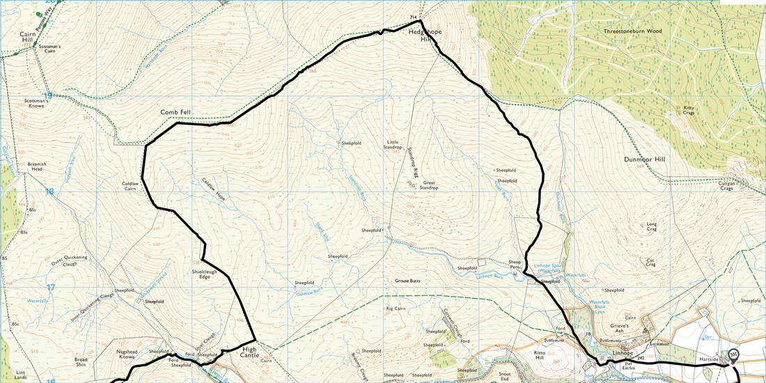
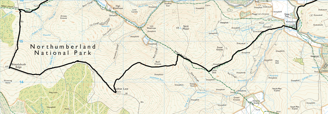
Hartside - Alnhammoor - Salter's Road - Bush Knowe - Cushat Law - Bloodybush Edge - Salter's Road - High Cantle - Shielcleugh Edge - Coldlaw Cairn - Comb Fell - Hedgehope Hill - Linhope - Hartside
Parking
Verge parking at Hartside (Grid Ref NT977162). It should be noted that there is no vehicular access any further than this point.
Mileage
16.7 miles
Terrain
Some grassy mountain paths and access tracks however it should be noted that much of this route is over featureless and boggy terrain. It is not for the faint hearted.
Weather
Cool & sunny with very good visibility
Time Taken
8hrs 30mins
Total Ascent
3415ft (1041m)
Map
OL16 The Cheviot Hills (Jedburgh & Wooler)
|
GPX File
|
| ||
If the above GPX file fails to download or presents itself as an XML file once downloaded then please feel free to contact me and I will send you the GPX file via e-mail.
Walk Description
If it is solitude you are after then the walk today will certainly deliver that. Pathless and boggy for the most part, this is not a walk for the faint hearted and should only really be attempted in good visibility when the views on offer can be appreciated. Today's walk started from the farm buildings at Hartside where there is verge parking for about 10 or so cars. It should be noted that there is no vehicular access beyond Hartside. We would be climbing 4 Nuttalls today (hills over 2000 feet) and is a route we tried to complete a couple of years ago but were beaten back by low cloud and pouring rain.
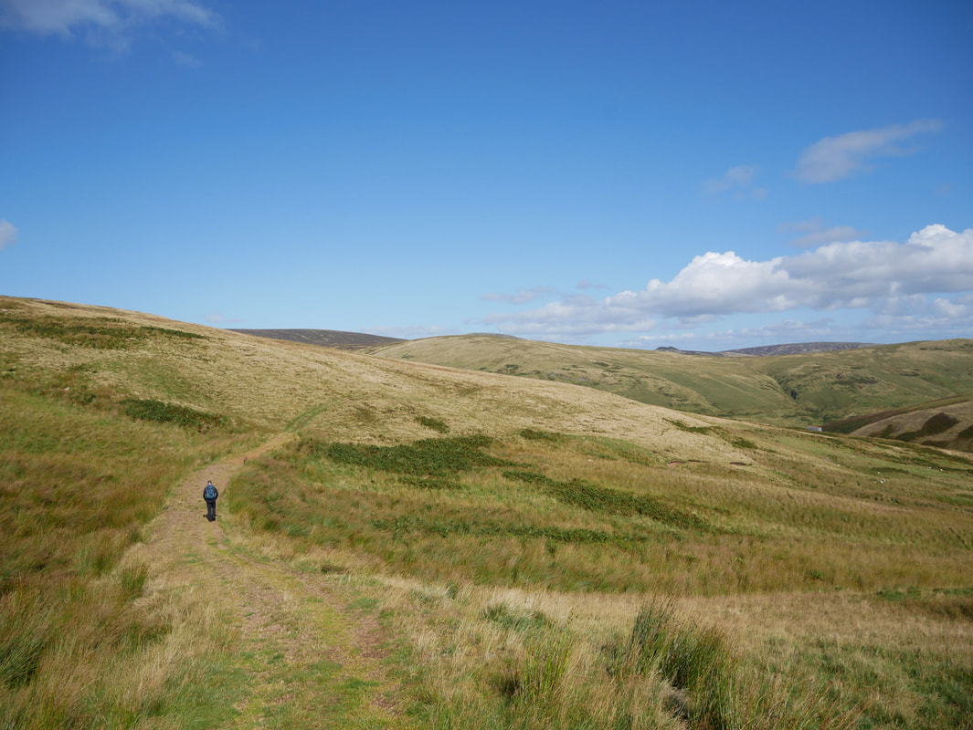
From Hartside the route headed south along the access road to the farm at Alnhammoor to join field paths and eventually arrived at the Salter's Road below Little Dodd. After about half mile this good track is left to proceed gently up Bush Knowe on an intermittent path which then steepens to reach the first of the 4 hills, Cushat Law. The top is adorned with a large shelter cairn although with the weather in our favour we did not need to use this today. From the summit it was time to banish thoughts of following anything resembling a path as we could see that it would be a rough descent, hand railing a fence to reach the next top of Bloodybush Edge. Once up on the plateau we negotiated a boggy morass, climbed a stile and reached the summit proper which was adorned by a freshly painted white Trig Point.
Crossing the stile and boggy morass once more we then headed north, again hand railing a fence to reach the Salter's Road once more. After a spot of lunch we headed north east along the Salter's Road on a good path to reach a footbridge over the River Breamish. After crossing the bridge, a waymarked rough path headed uphill steeply to reach a ridge near the summit of High Cantle. A fence line was now followed over rough and pathless terrain to reach firstly Shielcleugh Edge and then Coldlaw Cairn to then bend around to the north east to reach the understated and flat summit of Comb Fell. Hedgehope Hill was now in sight but first we had to descend over more pathless terrain to reach a boggy col where we joined a rough path which headed over a couple of rises to eventually deliver us at the summit. Resisting the temptation to visit Linhope Spout, we carried on along the farm track to reach a quiet road which we followed for just over a mile to reach the farm buildings at Hartside and journeys end.
As stated earlier, this is a cracking round but at nearly 17 miles it will not be for everyone. We did not see a soul all day and whilst the terrain is pathless for the most part, it is certainly worth it for the solitude and the views on offer. The hills in and around The Cheviot may not be to everybody's liking but they provide excellent walking - particularly on a good weather day like we had today.
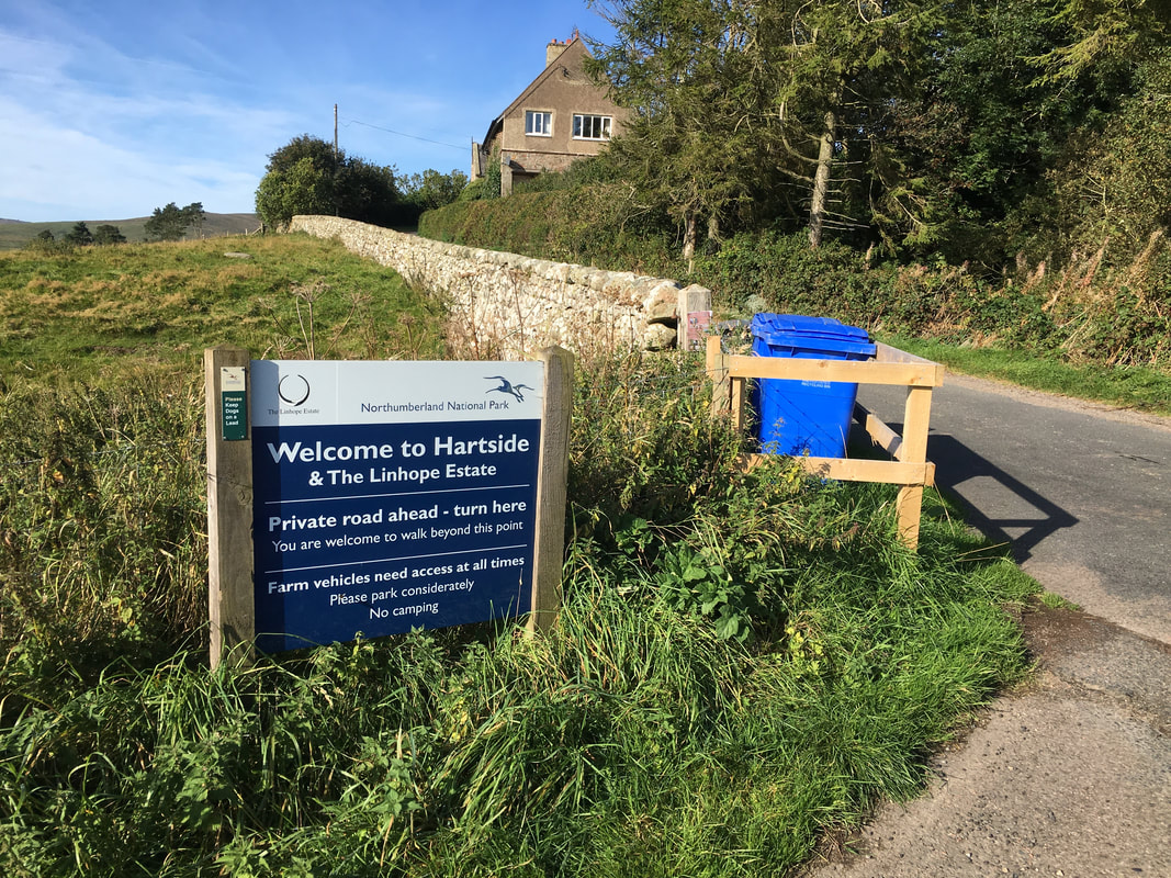
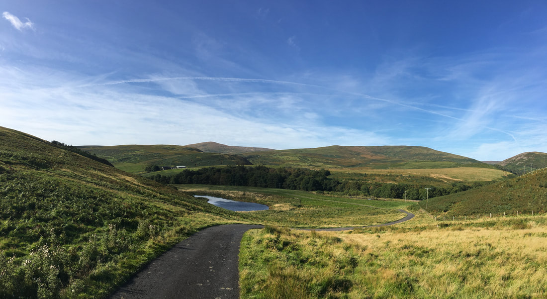
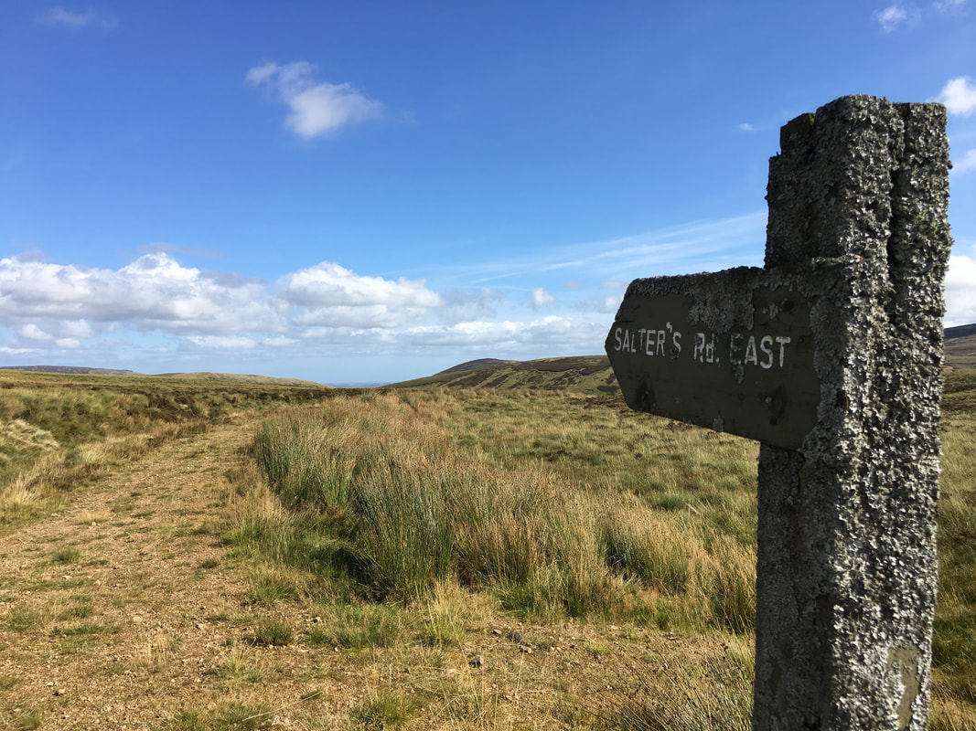
The start point for this walk is just before Hartside Farm - as the sign clearly states there is no vehicular access beyond this point.
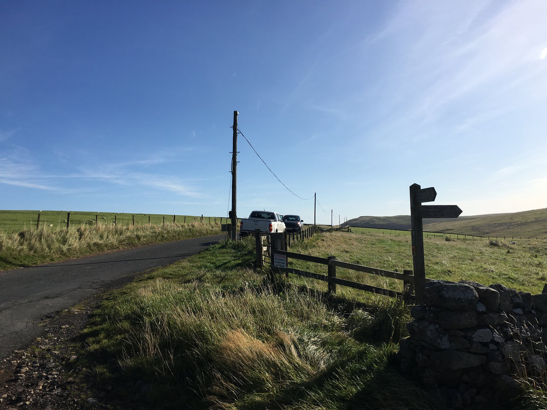
The verge parking at Hartside
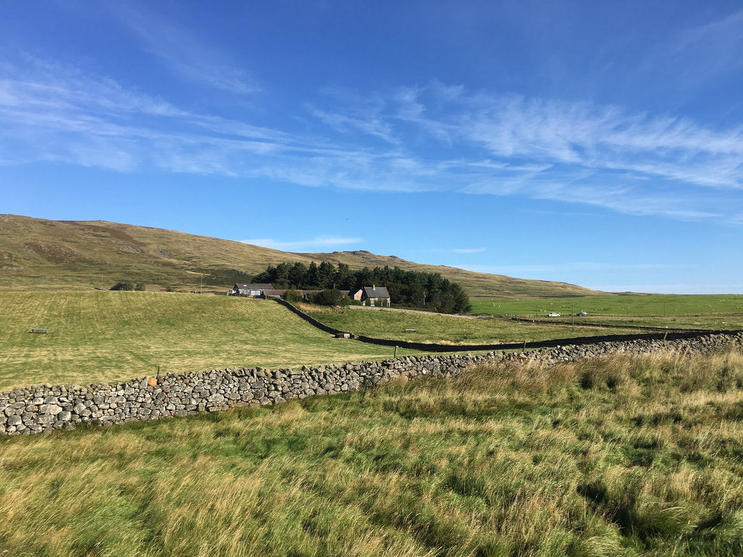
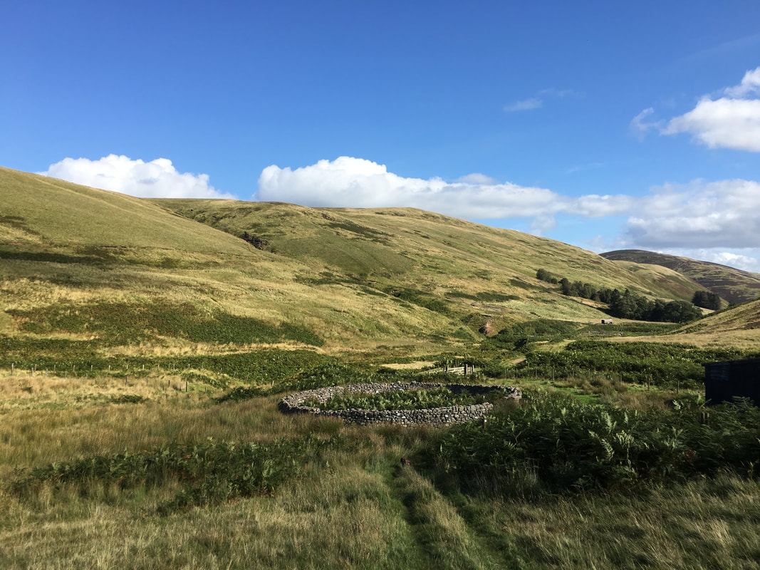
From Hartside the route follows the access track to the farm at Alnhammoor
Looking back to the start point at Hartside
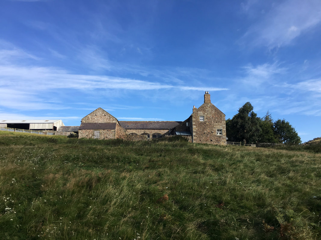
Alnhammoor
Looking to Long Crag above Hartside
Looking back to Hartside, Long Crag & Cunyan Crags
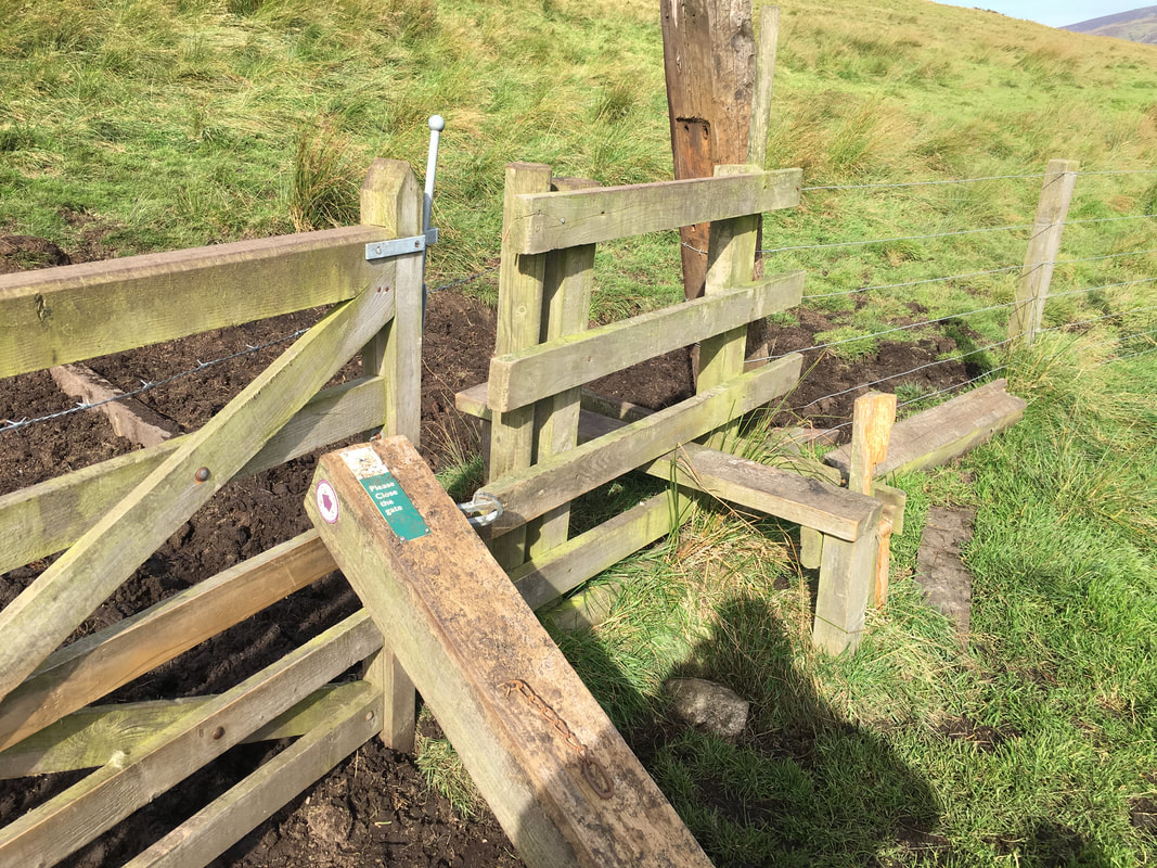
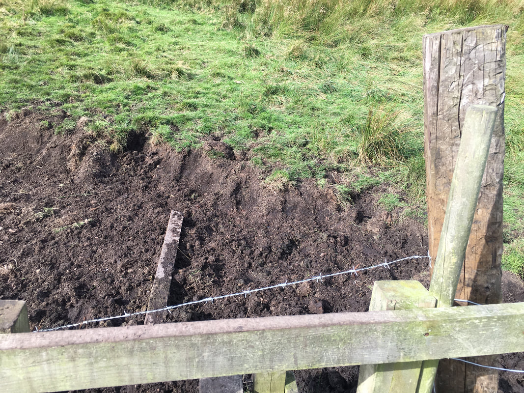
A damaged gate near Alnhammoor - we reported this to the National Park Authority, in particular the barbed wire across the stile
On the Salter's Road - Bush Knowe & Cushat Law are to the left and we would shortly break off to start their ascent.
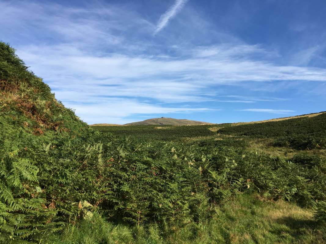
Approaching Cushat Law with The Cheviot, Comb Fell & Hedgehope Hill to the rear
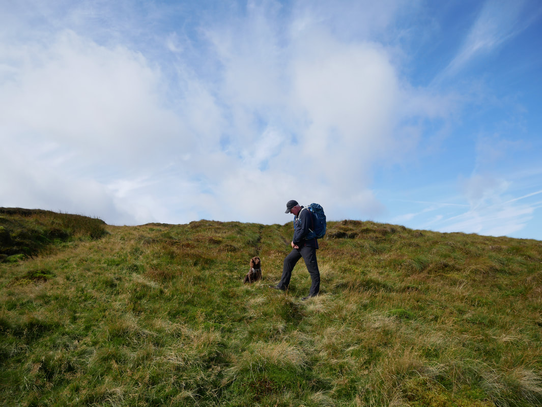
Had any thoughts on where we should go for a post walk pint Fudge?
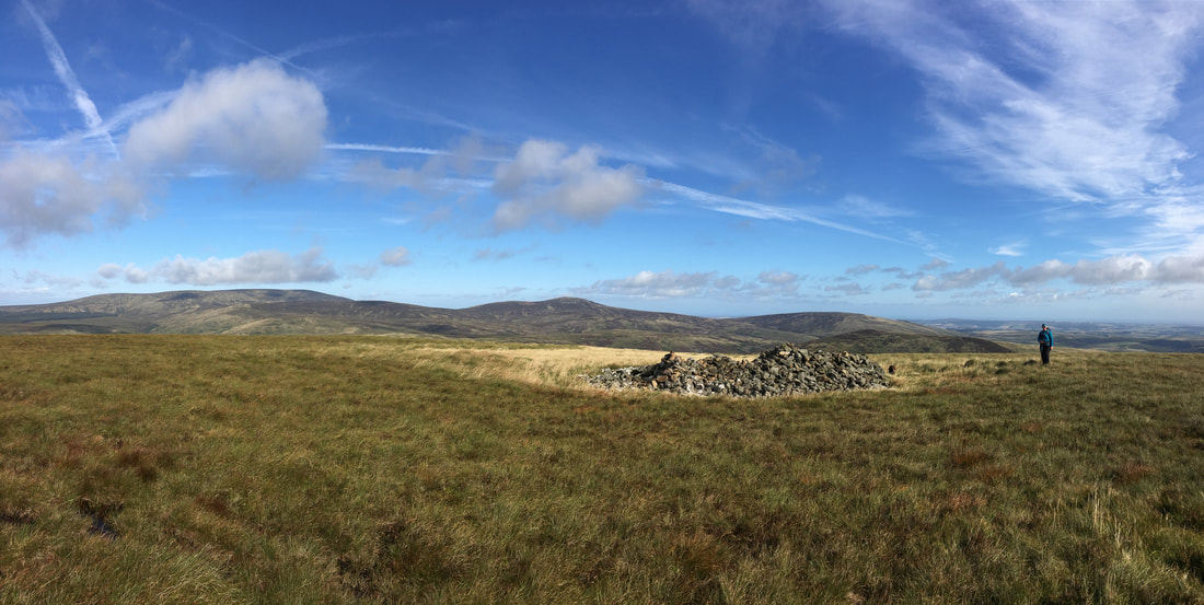
The summit of Cushat Law
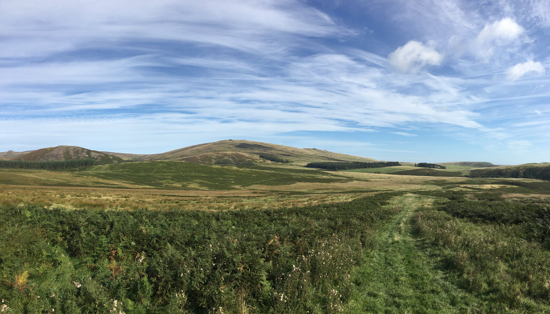
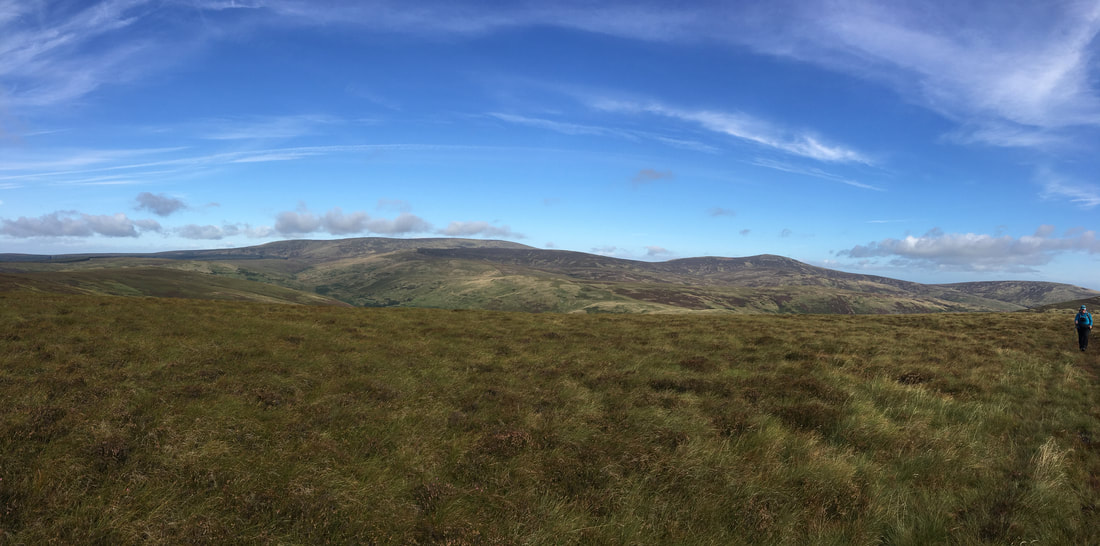
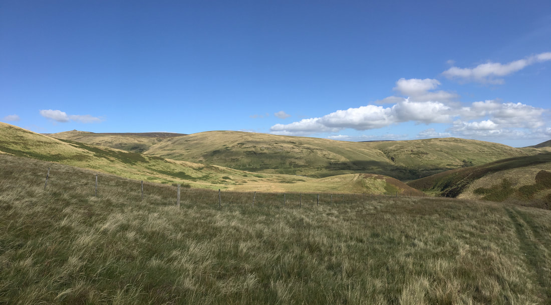
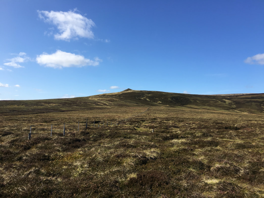
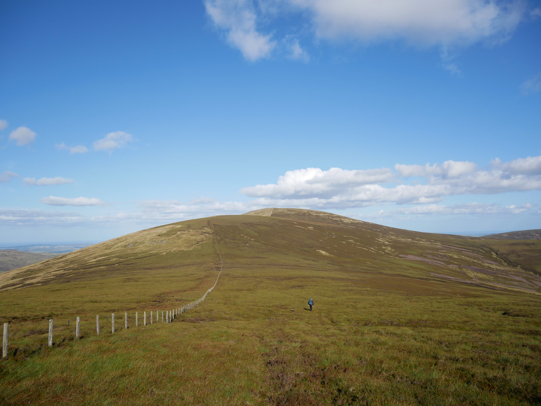
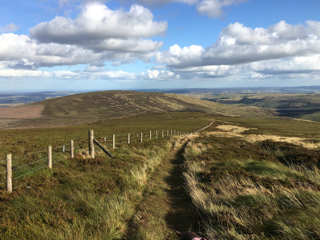
The remainder of our route stretching out in front of us.
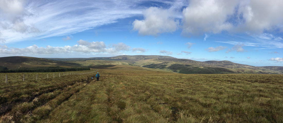
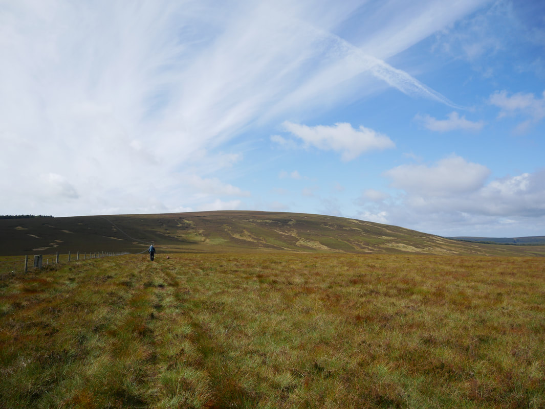
The route was now pathless as we descend from Cushat Law to Bloodybush Edge which is to the left.
The route was now pathless as we descend from Cushat Law to Bloodybush Edge which is to the left.
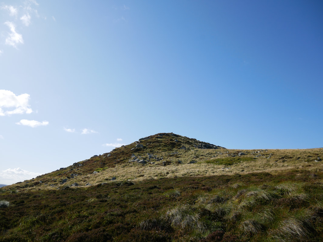
Bloodybush Edge ahead
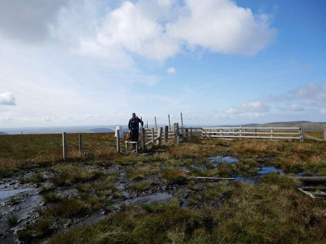
This was an interesting obstacle course over a boggy morass in order to attain the summit
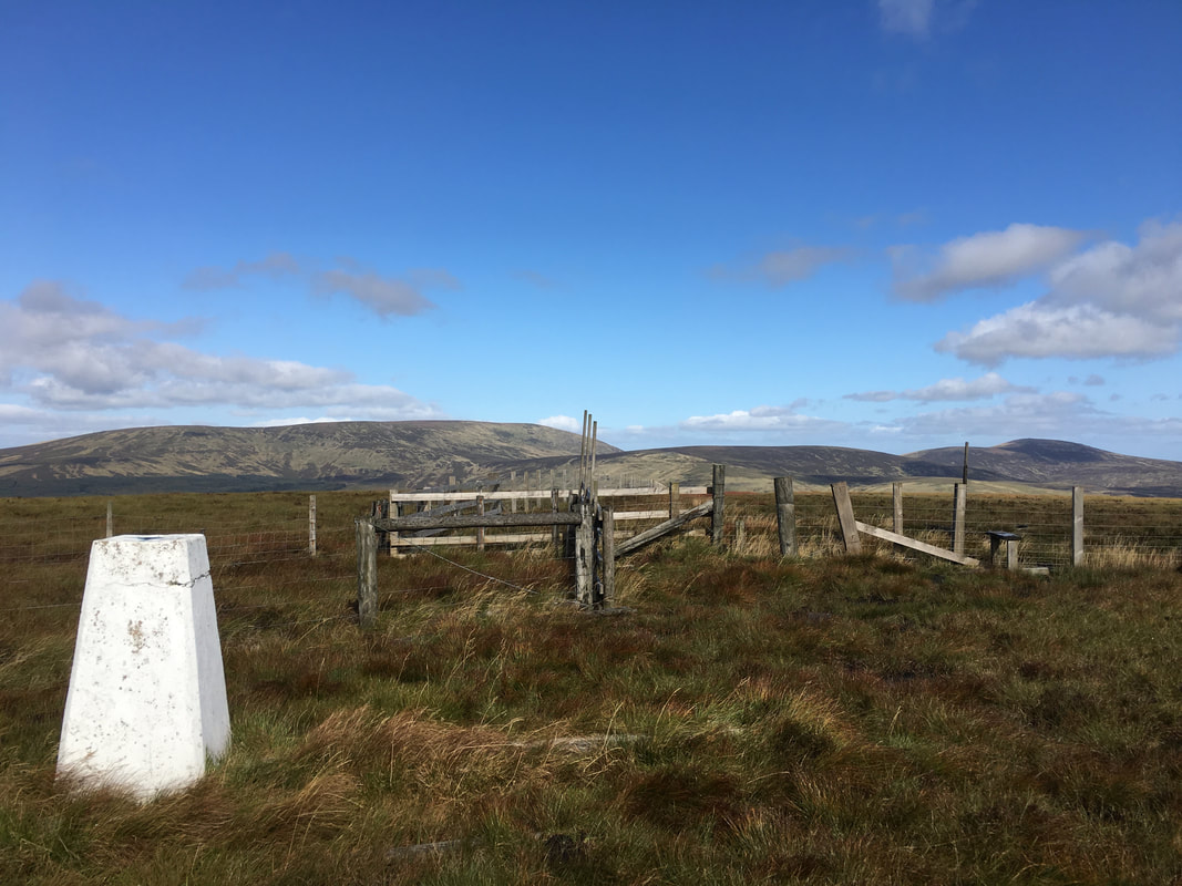
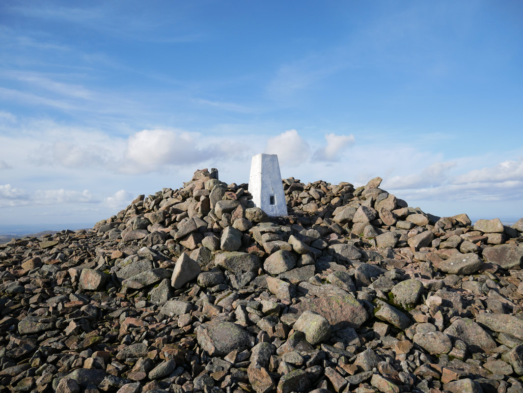
The summit of Bloodybush Edge
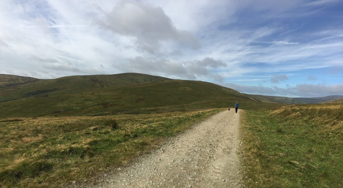
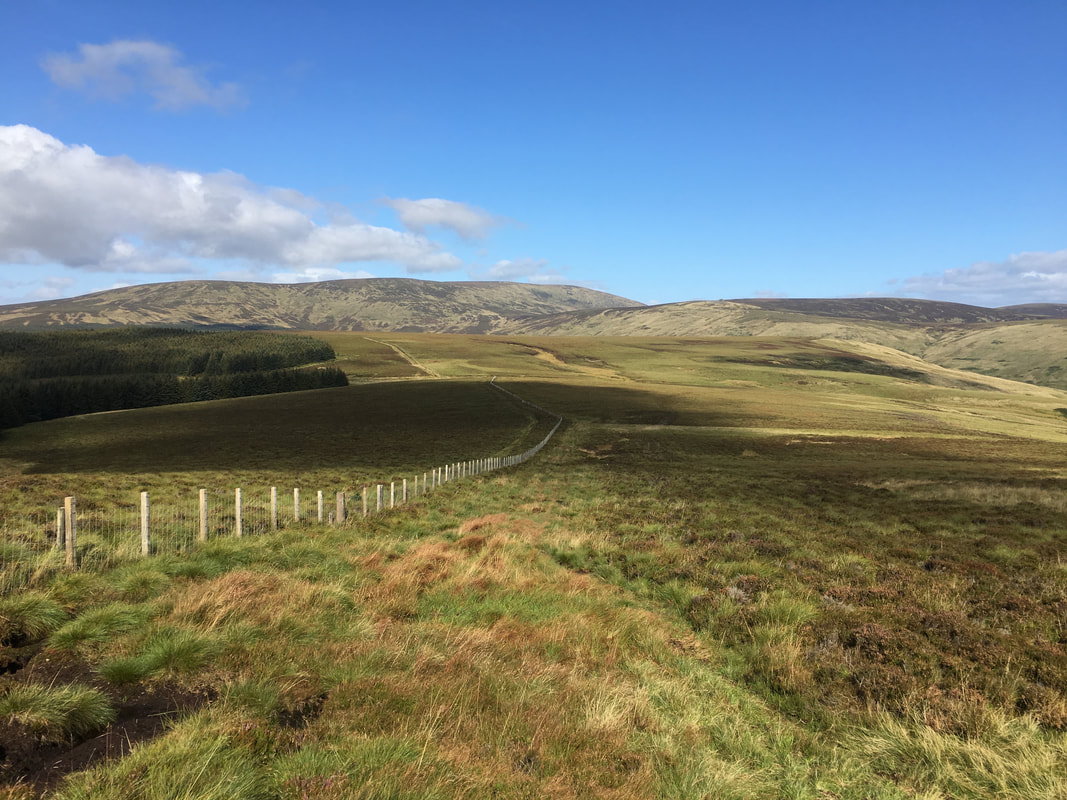
Dropping down from Bloodybush Edge to the Salter's Road
Our lunch stop back on the Salter's Road
The Salter’s Road is a path that runs north and west through the English Cheviots from Alnham before joining Clennell Street just south of the border. The name Salter is often attached to roads and paths and usually signifies some connection with the salt trade. In Northumberland and Durham there were salt panning operations all along the east coast, with a centre of activity being at North and South Shields near the mouth of the Tyne. Here, in the 18th century, there were over 100 pans producing 10,000 tons of salt a year (and a lot of tax). They were fired with coal brought down the river from Newcastle, and the smoke was visible from the Cheviots. The Salter’s Road would have been used by traders carrying salt north across the border. Some produce, however probably came south as well, with cheaper Irish salt being smuggled back into England. Most of the business was on the west coast, but there are indications that some of it made it to the north-east.
The Salter’s Road is a path that runs north and west through the English Cheviots from Alnham before joining Clennell Street just south of the border. The name Salter is often attached to roads and paths and usually signifies some connection with the salt trade. In Northumberland and Durham there were salt panning operations all along the east coast, with a centre of activity being at North and South Shields near the mouth of the Tyne. Here, in the 18th century, there were over 100 pans producing 10,000 tons of salt a year (and a lot of tax). They were fired with coal brought down the river from Newcastle, and the smoke was visible from the Cheviots. The Salter’s Road would have been used by traders carrying salt north across the border. Some produce, however probably came south as well, with cheaper Irish salt being smuggled back into England. Most of the business was on the west coast, but there are indications that some of it made it to the north-east.
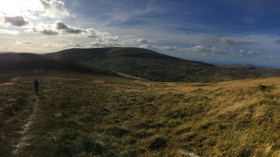
Heading along the Salter's Road towards High Cantle which is on the extreme right of picture.
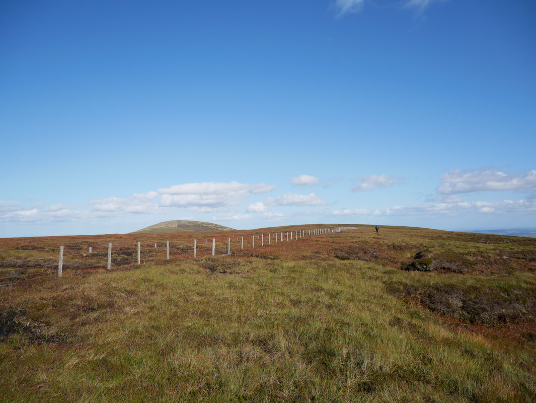
From High Cantle we would then head to Shielcleugh Edge which is in the centre of shot.
From High Cantle we would then head to Shielcleugh Edge which is in the centre of shot.
A panorama from the Salter's Road with (l-r) Coldlaw Cairn, Shielcleugh Edge & High Cantle
Dropping down to the River Breamish with High Cantle ahead
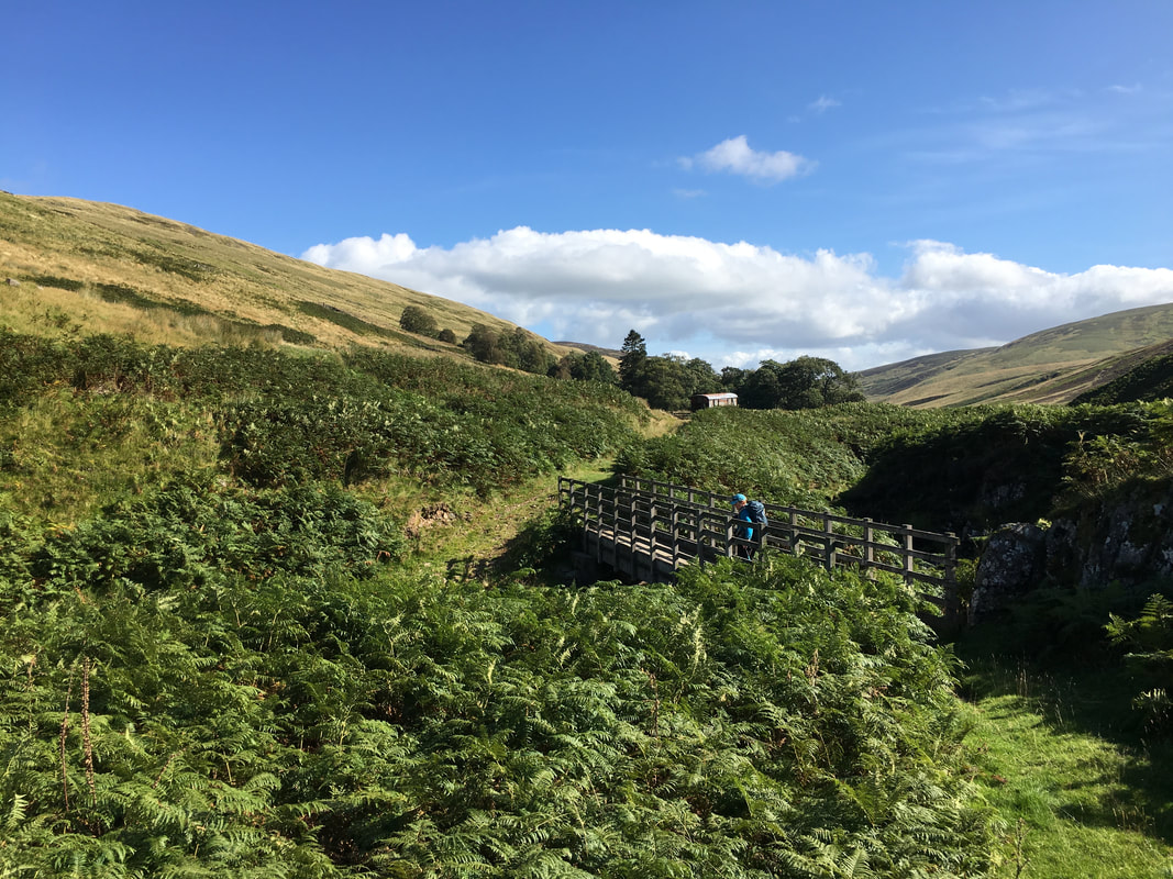
The footbridge crossing the River Breamish
From the Salter's Road the route now heads up on to High Cantle
The short and steep ascent to the ridge on High Cantle
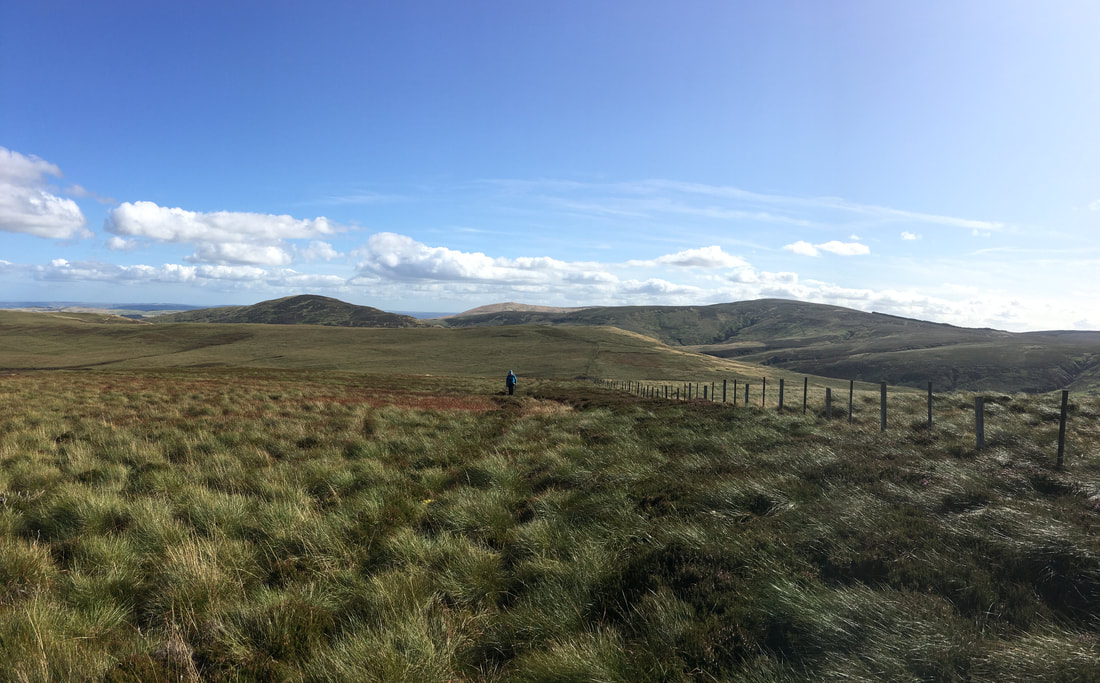
More pathless terrain as we head to Shielcleugh Edge - High Cantle is to the rear.
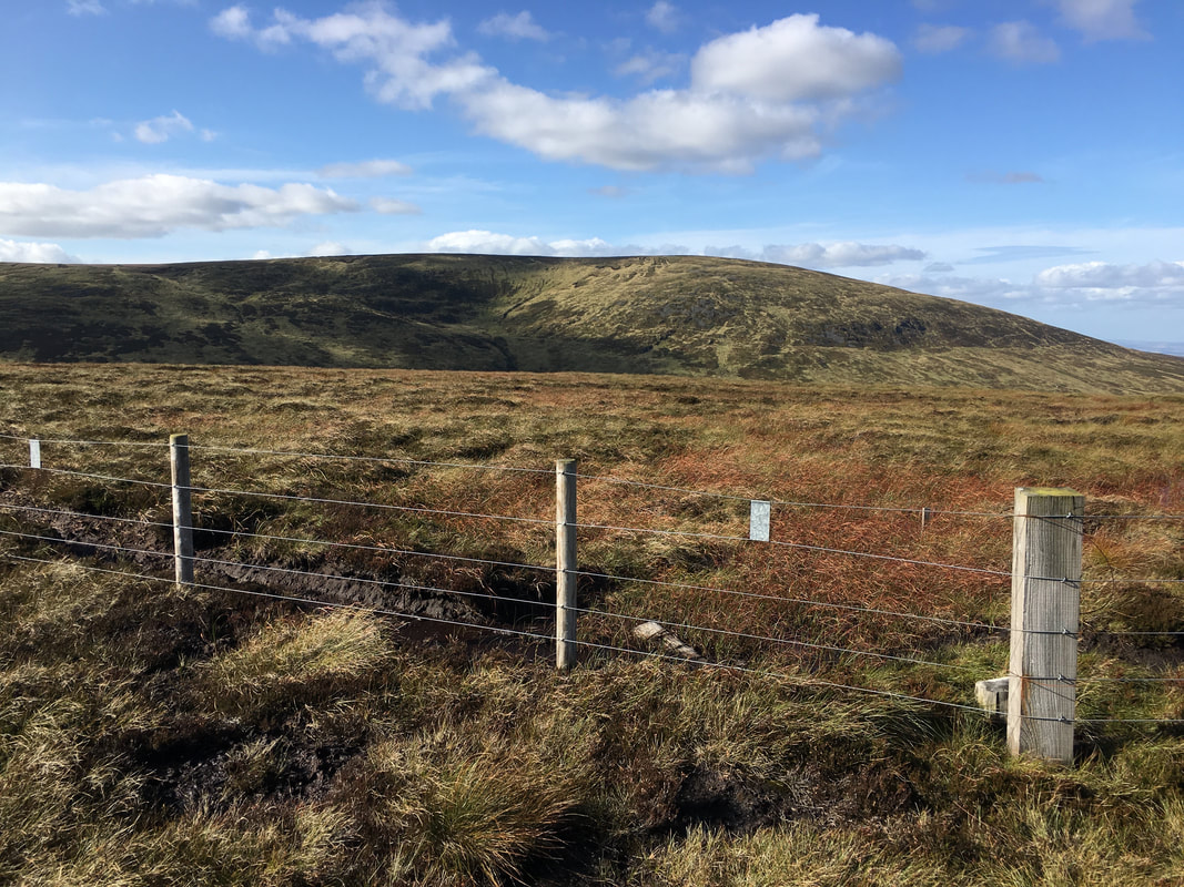
Shielcleugh Edge looking to Coldlaw Cairn
Coldlaw Cairn
From Coldlaw Cairn nearing the summit of Comb Fell with Hedgehope Hill ahead. The terrain here would probably be described as 'challenging'
The thick fence post marks the summit of Comb Fell. The mass in the background is The Cheviot.
Angie's shadowy presence descending from Comb Fell
Descending to the col between Comb Fell & Hedgehope Hill. Thankfully the terrain would improve once we started the first of the two climbs to Hedgehope.
On the ascent of Hedgehope - Comb Fell & The Cheviot are to the rear. As can be seen we are now on a path of sorts.
The summit of Hedgehope Hill. The Trig Point sits in a shelter.
Looking to Dunmoor Hill. Whilst we had summitted our final hill of the day it was still a fair old schlep back to Hartside.
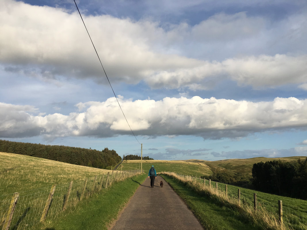
From Linhope the final mile or so to Hartside is along a quiet lane
