Mellbreak & Rannerdale Knotts - Sunday 18 November 2018
Route
Scale Hill - Loweswater - Church Bridge - White Crag - Mellbreak North Top - Mellbreak South Top - Scale Force - Scale Bridge - Buttermere - Low Bank - Rannerdale Knotts - Dale How - Cinderdale Common - Lanthwaite Wood - Scale Hill
Parking
Scale Hill NT Car Park (Charge) - Grid Ref is NY 1491 2148 (Nearest Postcode is CA13 9UX). There is additional free parking at Loweswater Village & Church Bridge but please park considerately.
Mileage
11.3 miles
Terrain
Mountain paths for the most part with some road walking at the start. The ascent of Mellbreak from the North appears daunting at first but is on a generally good path. There is some scree to negotiate on the early part of the ascent. Care needs to be taken in and around Scale Force because of wet rock. The route down from Rannerdale Knotts to Hause Point is steep therefore take care on the descent.
Weather
Glorious weather for November - fresh breezes with excellent visibility.
Time Taken
7hrs 30mins (this was an organised walk therefore we did not rush this beautiful day)
Total Ascent
2755ft (840m)
Wainwrights
2
Map
OL4 The English Lakes (North Western Area)
Walkers
Dave, Angie & Fudge with Angela, Dave, Brenda, Stephen, Tony & Jack the Collie
|
GPX File
|
| ||
If the above GPX file fails to download or presents itself as an XML file once downloaded then please feel free to contact me and I will send you the GPX file via e-mail.
Walk Description
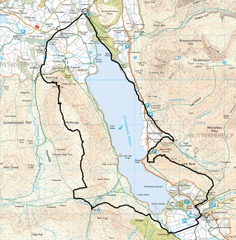
The National Trust Car Park at Scale Hill
Ordinarily I wouldn't use this Car Park as I am a professional tight arse and hate paying for parking but relented this time as I was leading a group walk today.
Ordinarily I wouldn't use this Car Park as I am a professional tight arse and hate paying for parking but relented this time as I was leading a group walk today.
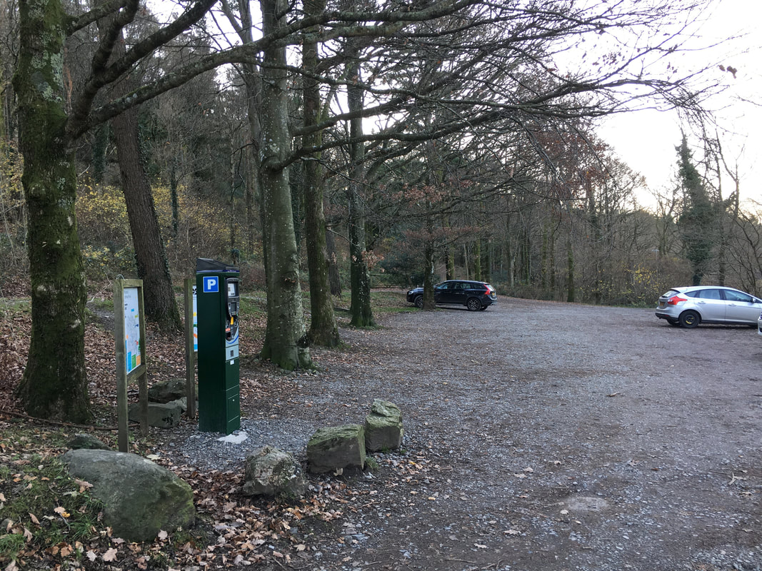
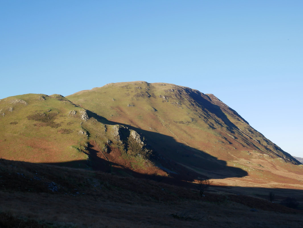
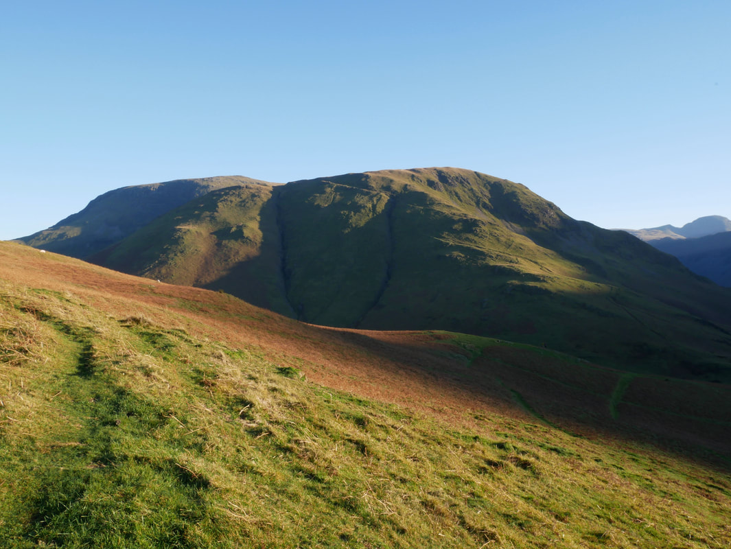
Mellbreak looking pretty good as viewed from the Car Park across the River Cocker
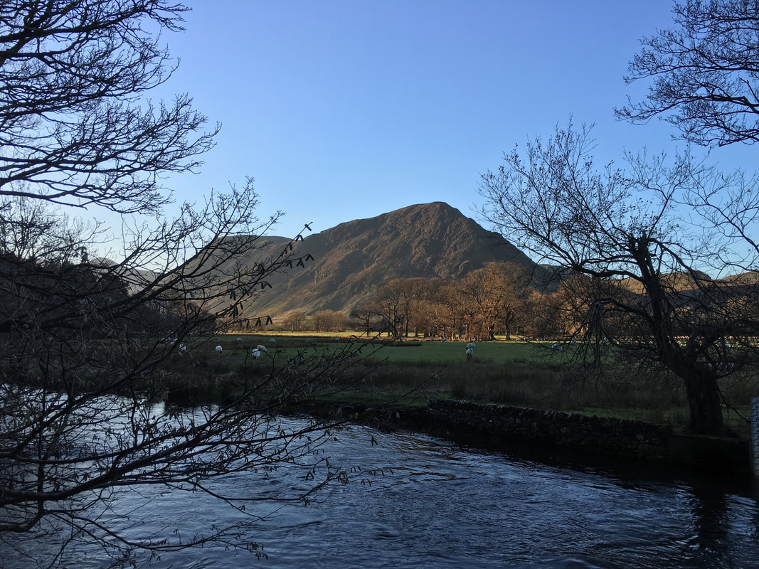
The very lovely St Bartholemew's Church in Loweswater
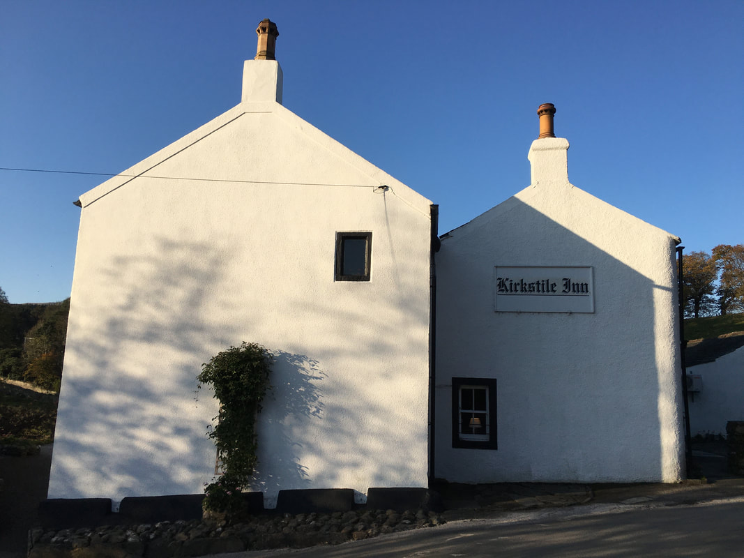
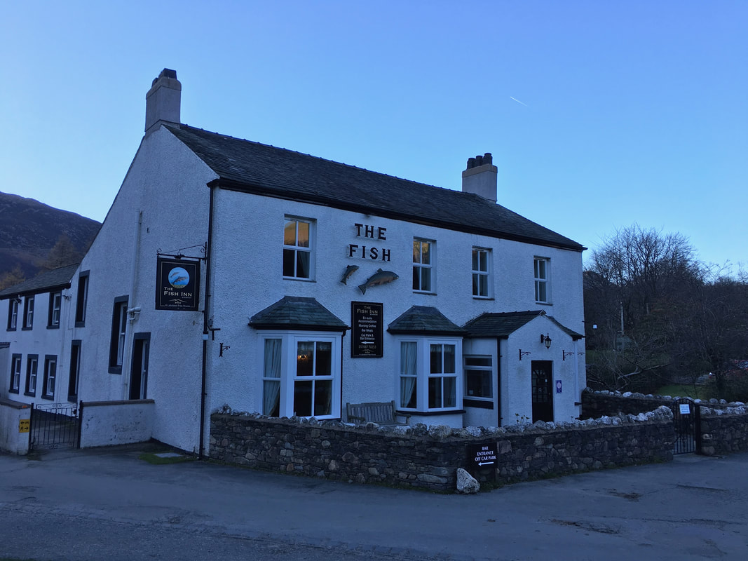
Another cracking Lakeland pub and the home of the very tasty Loweswater Gold - see you later!
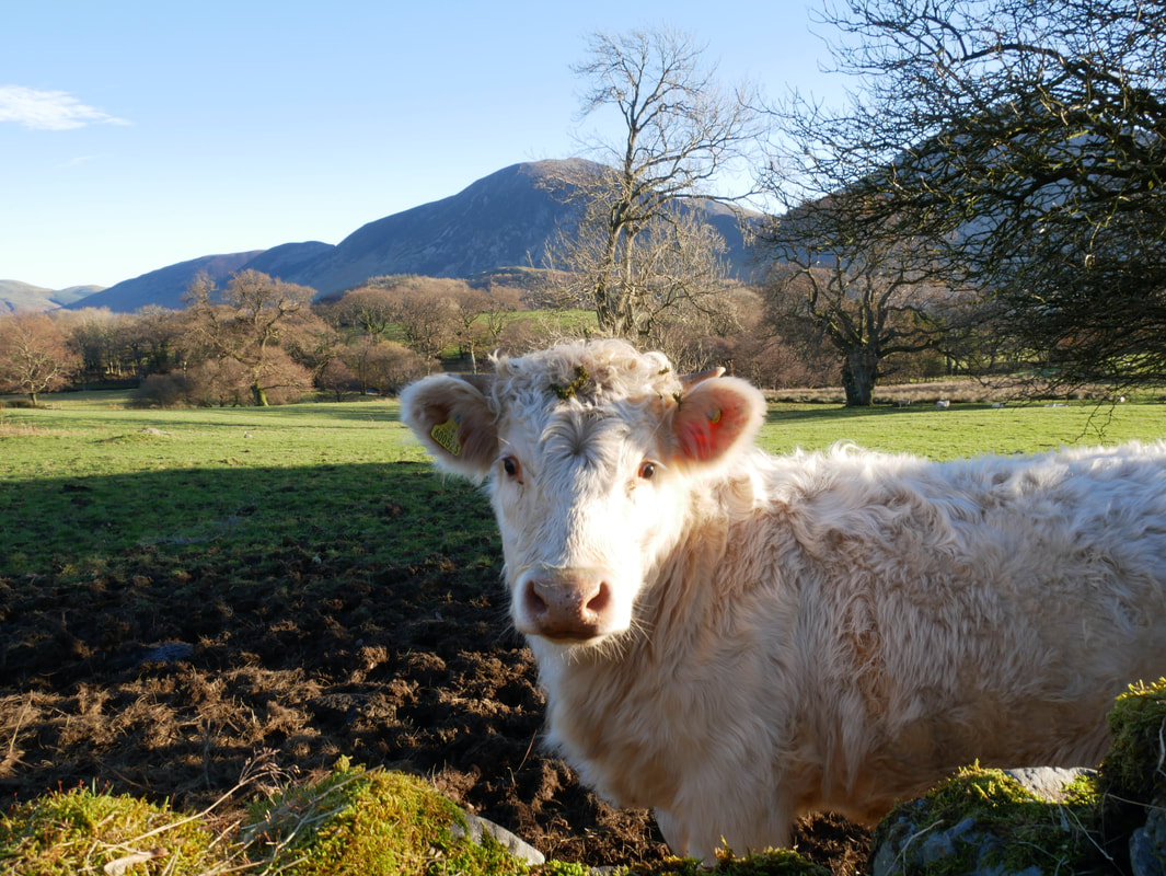
Saying hello to one of the locals
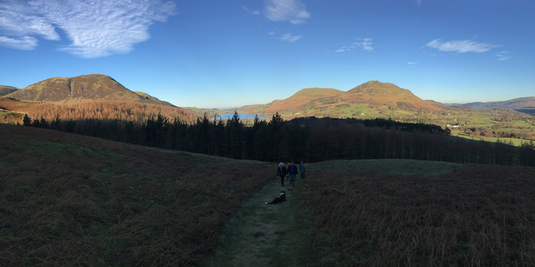
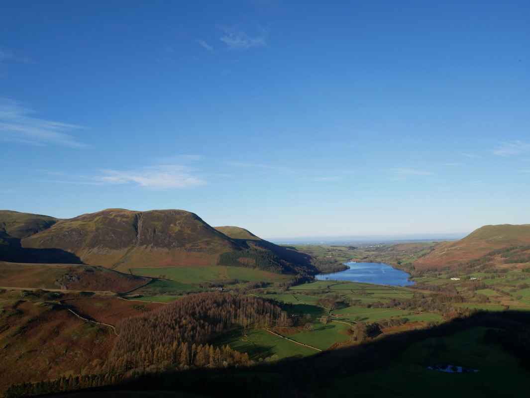
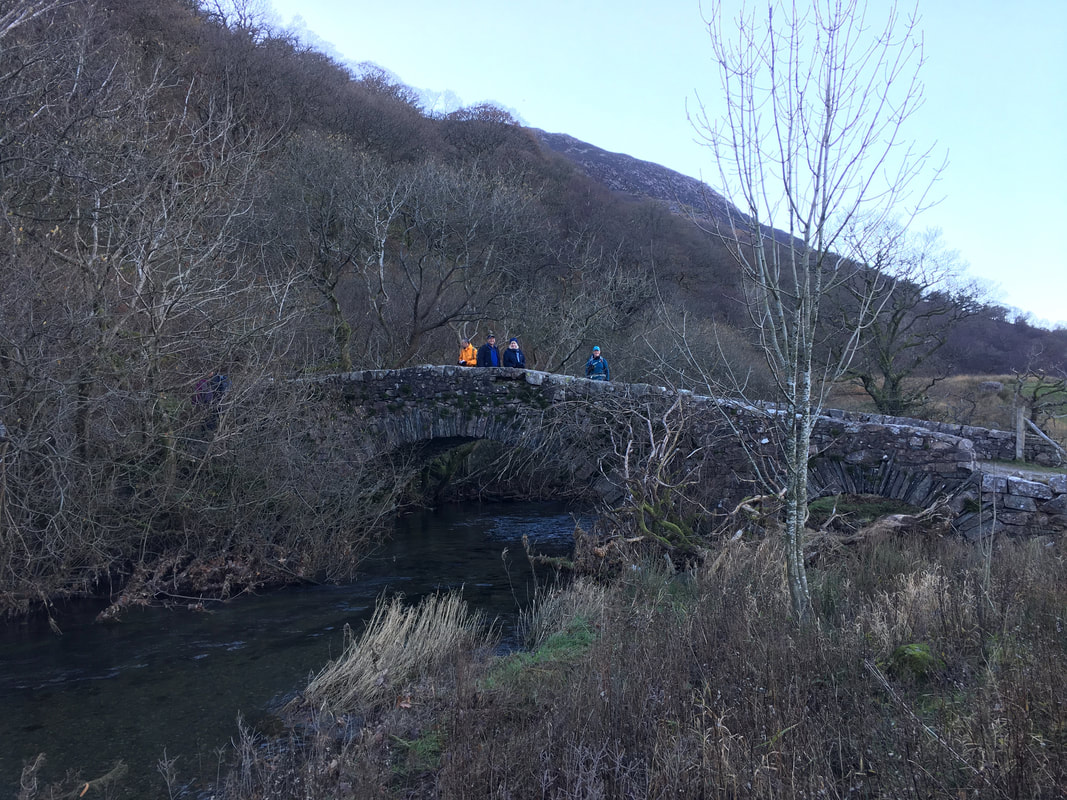
From the village of Loweswater the route heads over Church Bridge and past Kirkgate Farm. From the farm a rough track leads to a fire break in the trees at the top of which this path is reached. To the rear left is Carling Knott with Loweswater centre and Darling Fell & Low Fell to the right.
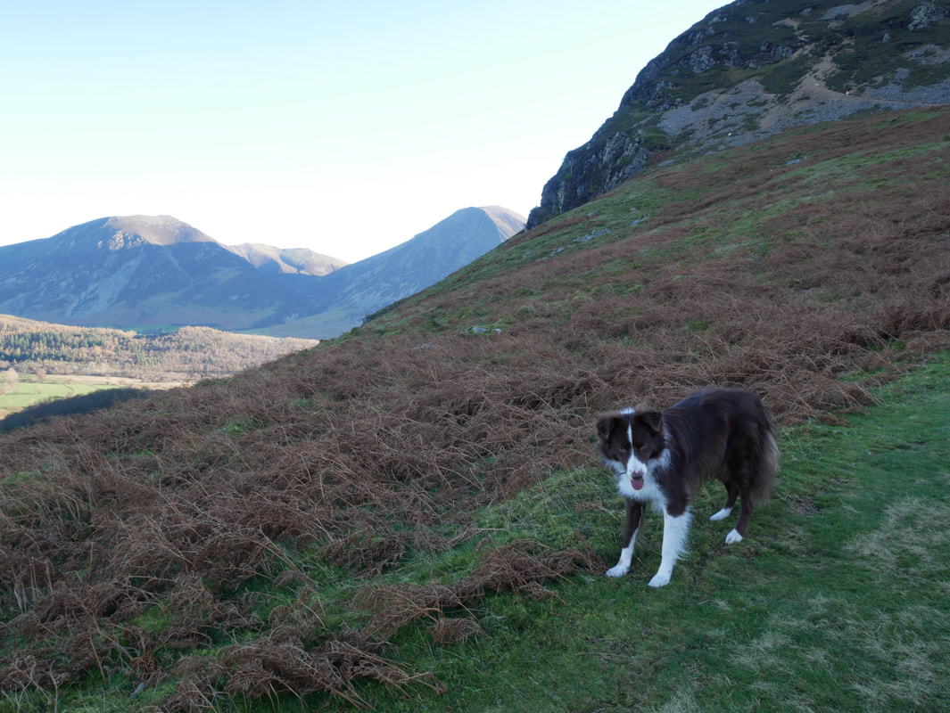
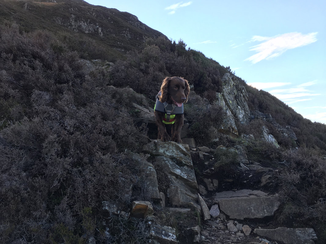
Fresh from spewing up in the back of his Dad's car, it was clear to see that Jack had recovered from his car journey from Preston.
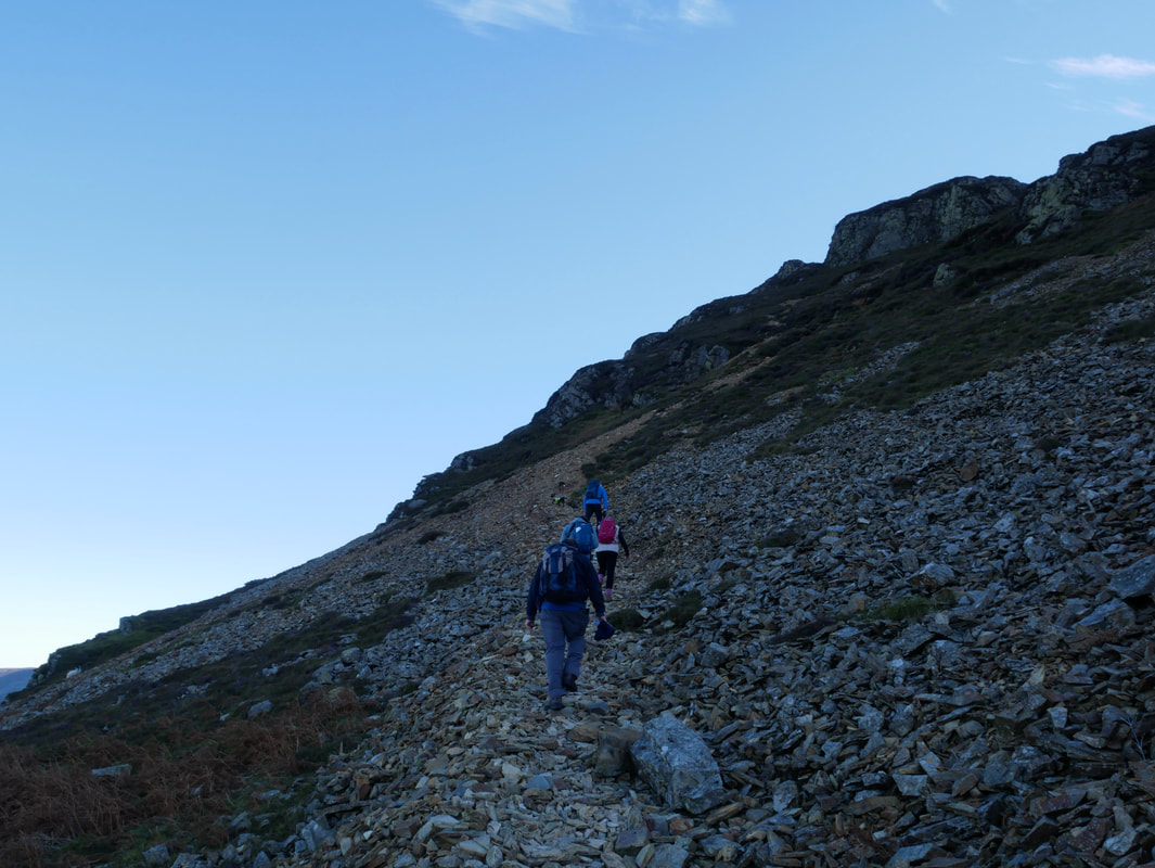
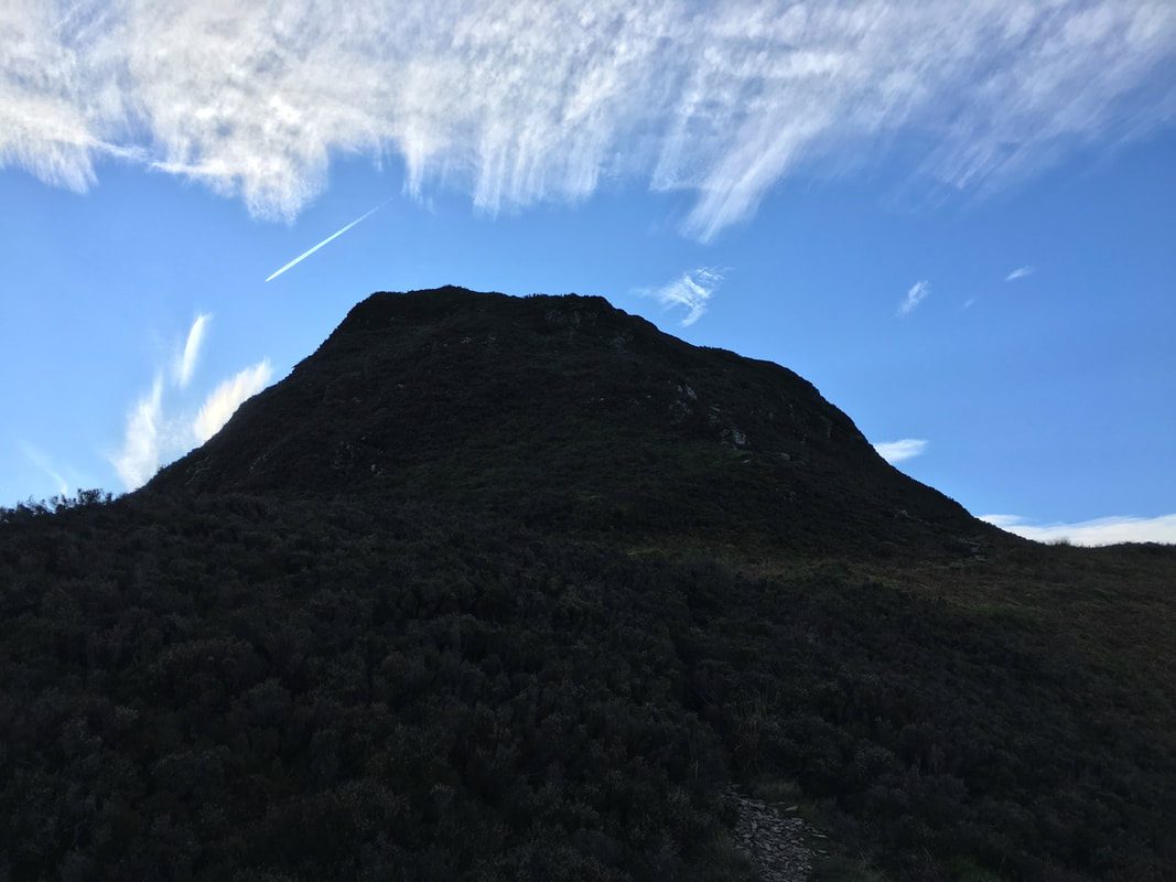
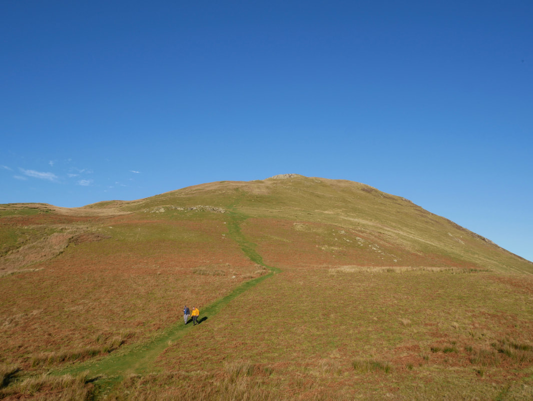
Ascending Mellbreak via the scree path.
The route from below looks daunting and the path is unclear until you are at the base of the scree.
The route from below looks daunting and the path is unclear until you are at the base of the scree.
The lower part of the scree path on the ascent of Mellbreak
The rock gateway ahead is roughly where the scree ends and the going becomes firmer
As height is gained the views open out although Mellbreak's shadow remains
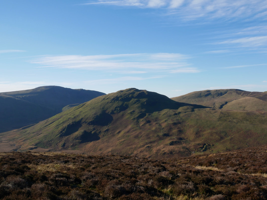
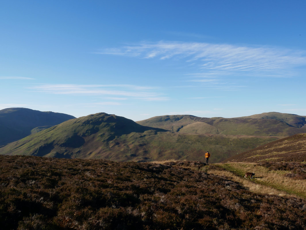
Carling Knott, Burnbank Fell & Loweswater
Fudge as usual was ahead of everybody else. The scree eases for a few yards here but is soon back again.
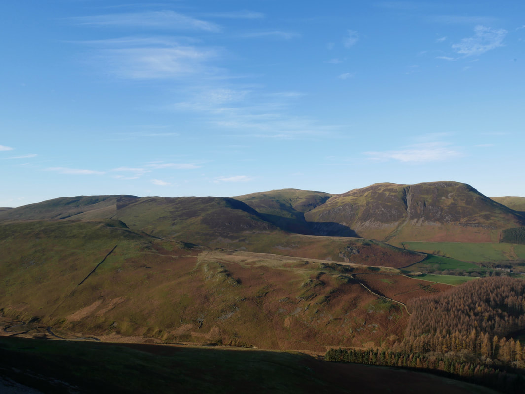
Little Dodd on Hen Comb with Gavel Fell, Blake Fell, Carling Knott & Burnbank Fell
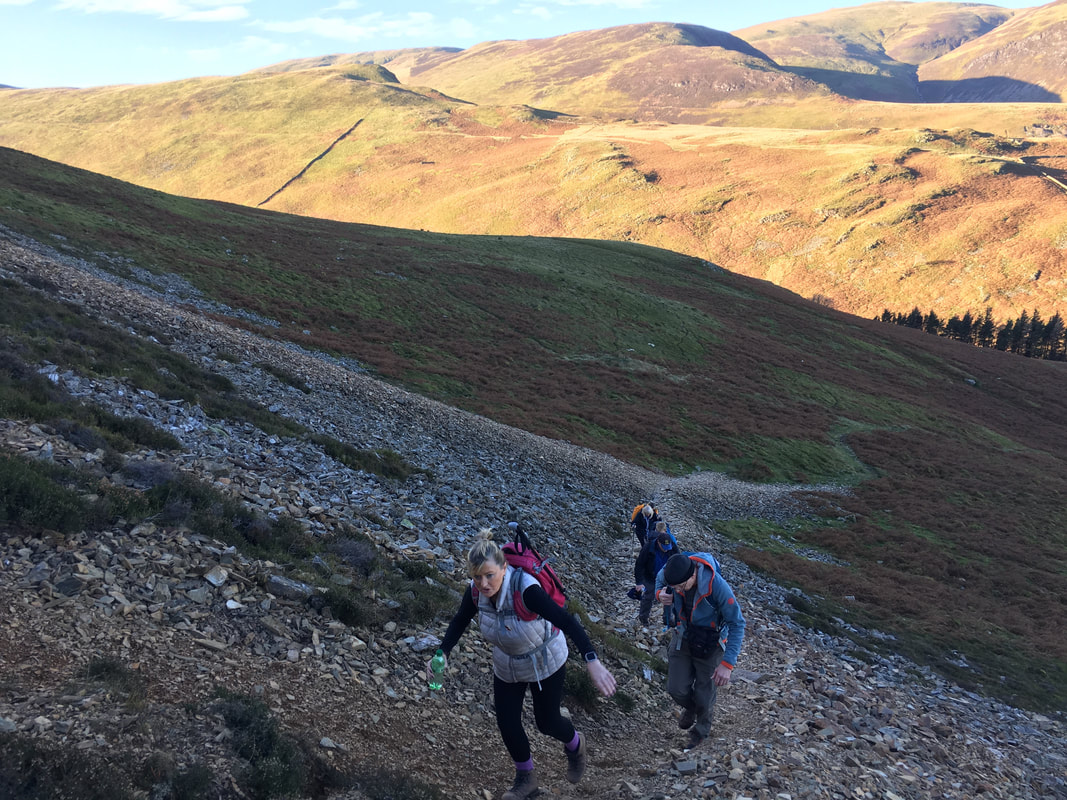
The final part of the scree before firmer ground is gained.
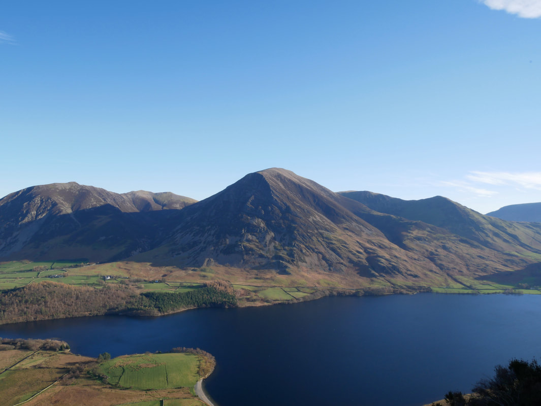
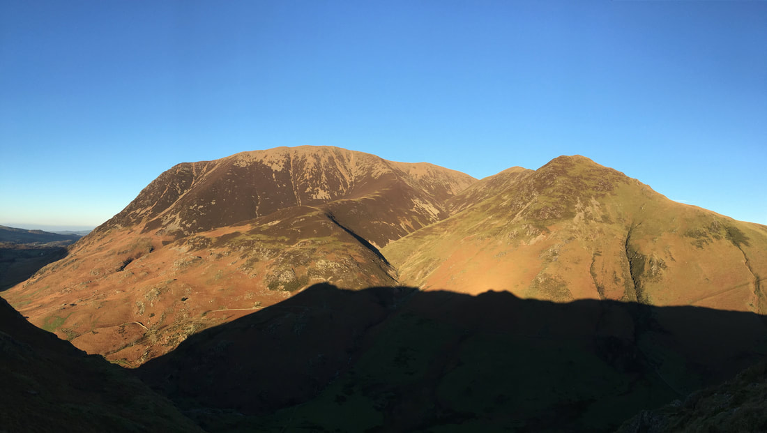
Grasmoor across Crummock Water with Whiteside to the left & Whiteless Pike right
The end of the scree and whilst the ascent remains steep the walking is much easier from here
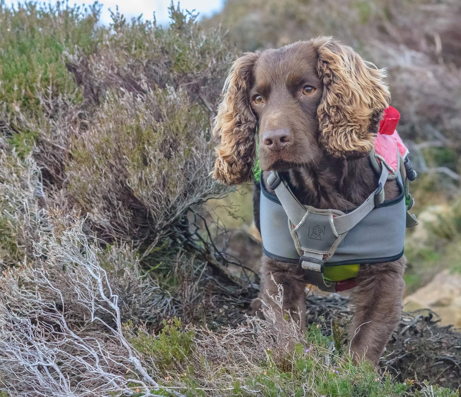
You need a furcut Fudgie my lad
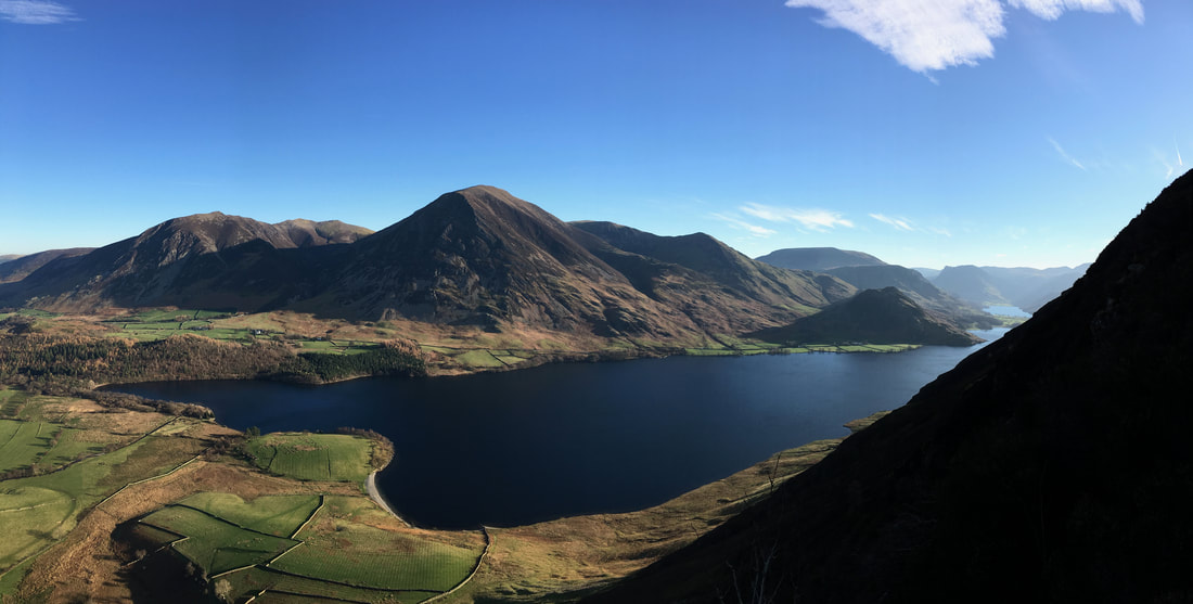
A North Western Fells panorama with Grasmoor dominating the scene from Wainwright's 'a lovely peep around a corner' (Mellbreak 4 & 5). From the main path up Mellbreak, a vague but obvious path veers slightly left to visit this lovely spot that gives a fantastic vista down to Crummock & Buttermere
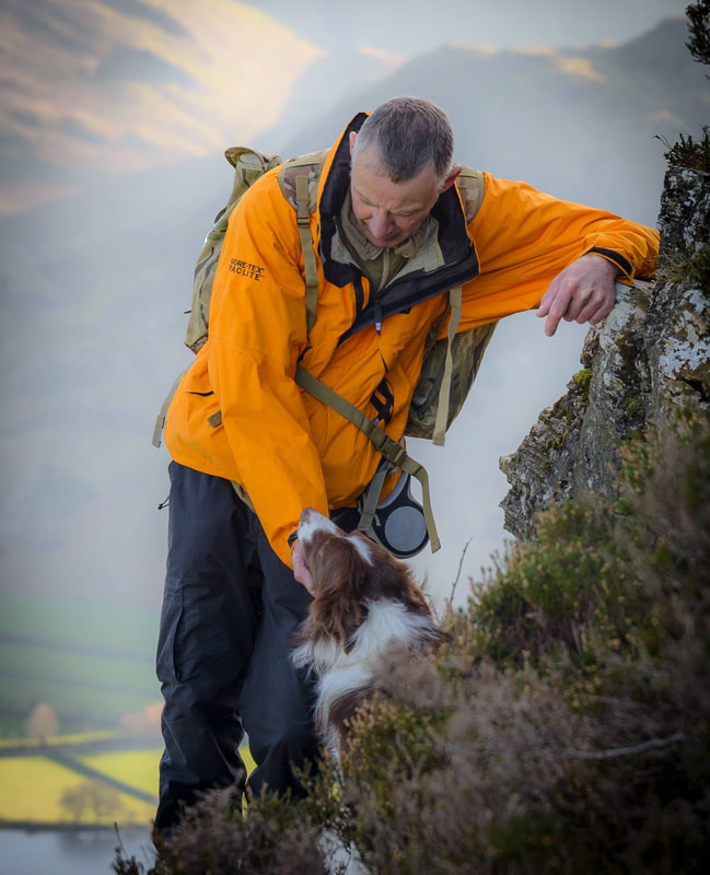
I just love this picture of Tony & Jack taken at the "peep around a corner" - says it all of how much man and dog can bond together.
(Photo Credit Stephen Wood)
(Photo Credit Stephen Wood)
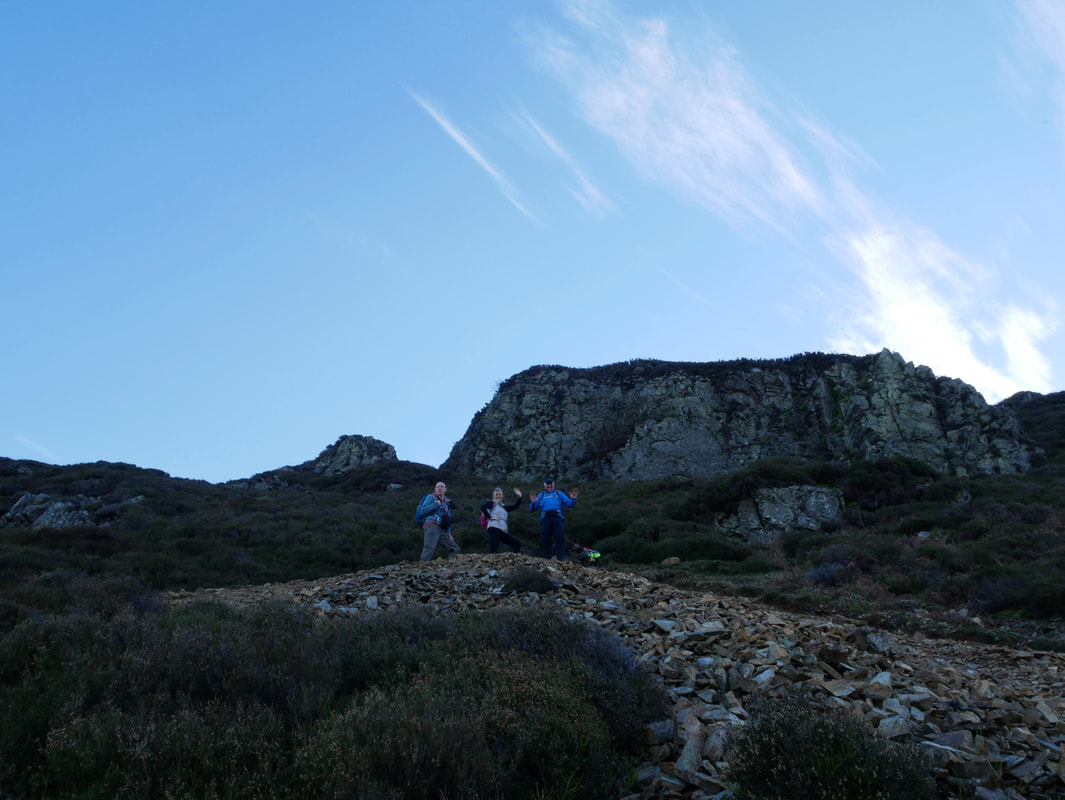
Angela & Dave on the summit of Mellbreak North Top
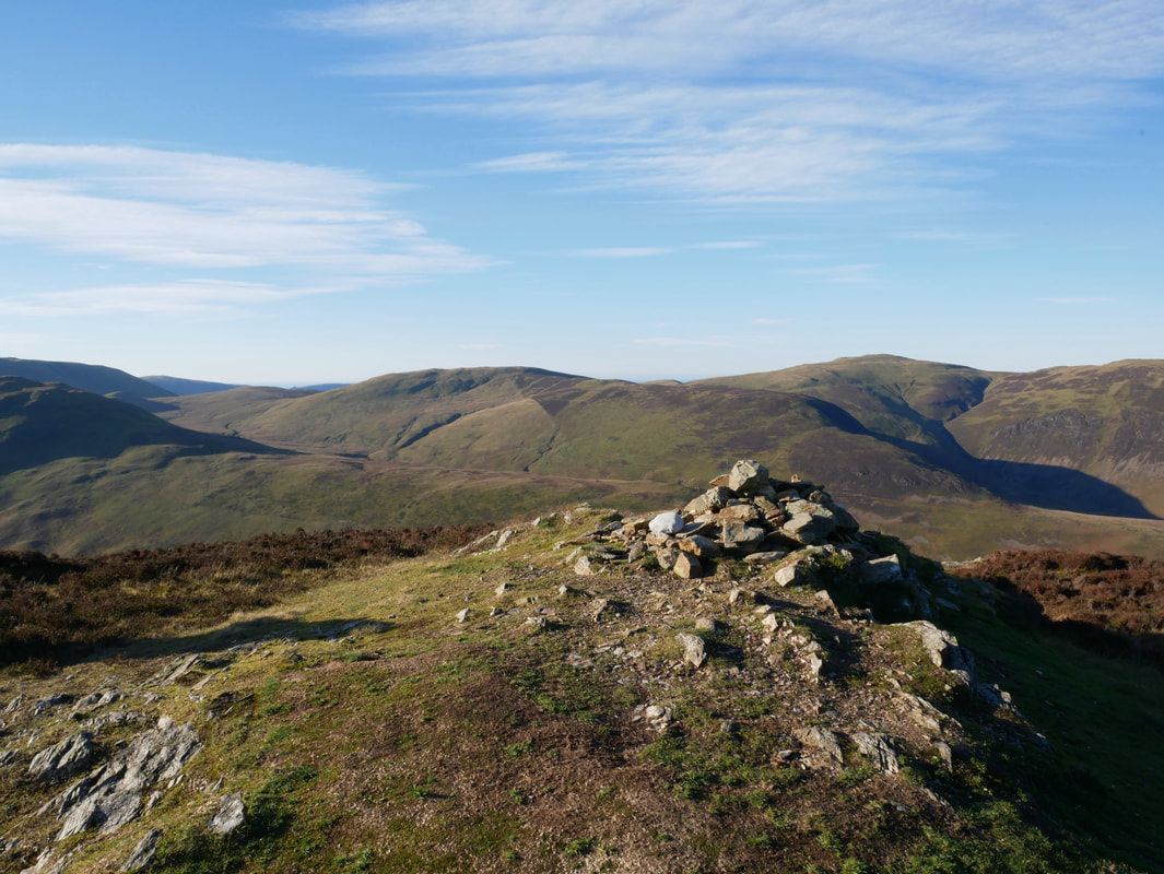
The summit of Mellbreak North Top looking to Hen Comb
Hen Comb
From the North Top the route heads over a grassy depression to then swing left to gain the South Top summit
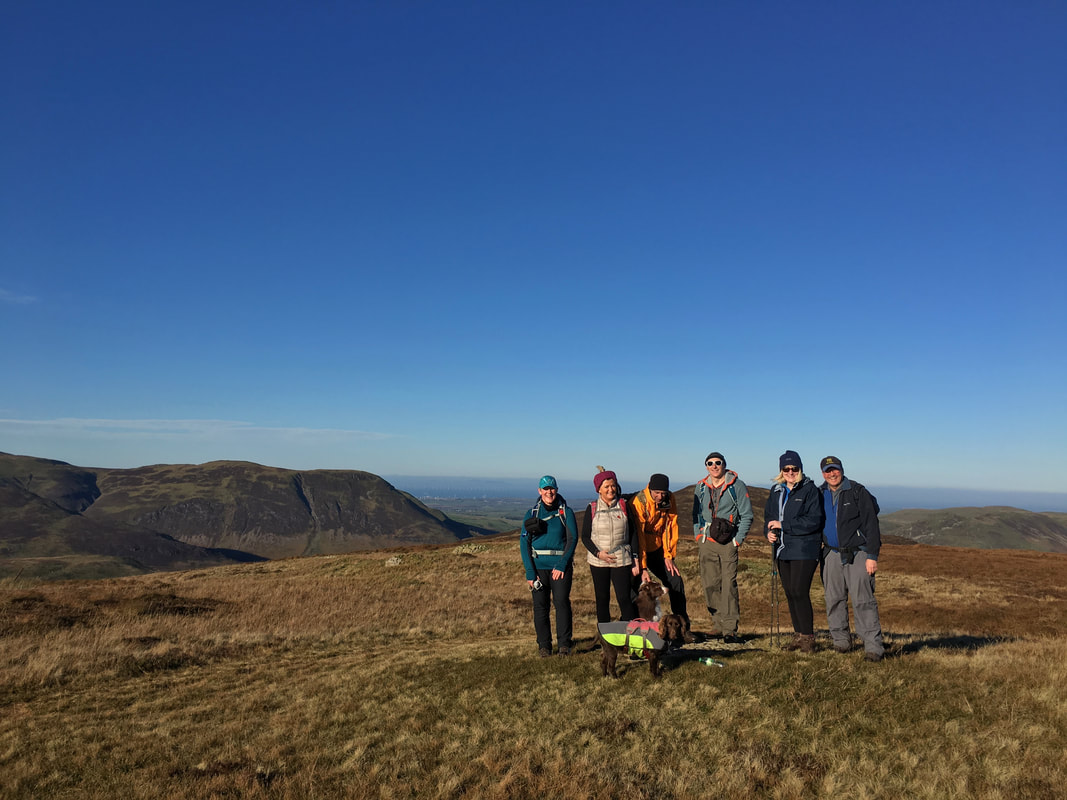
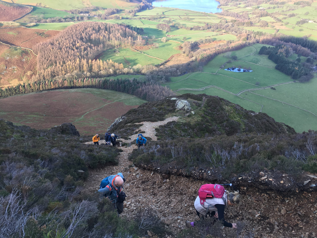
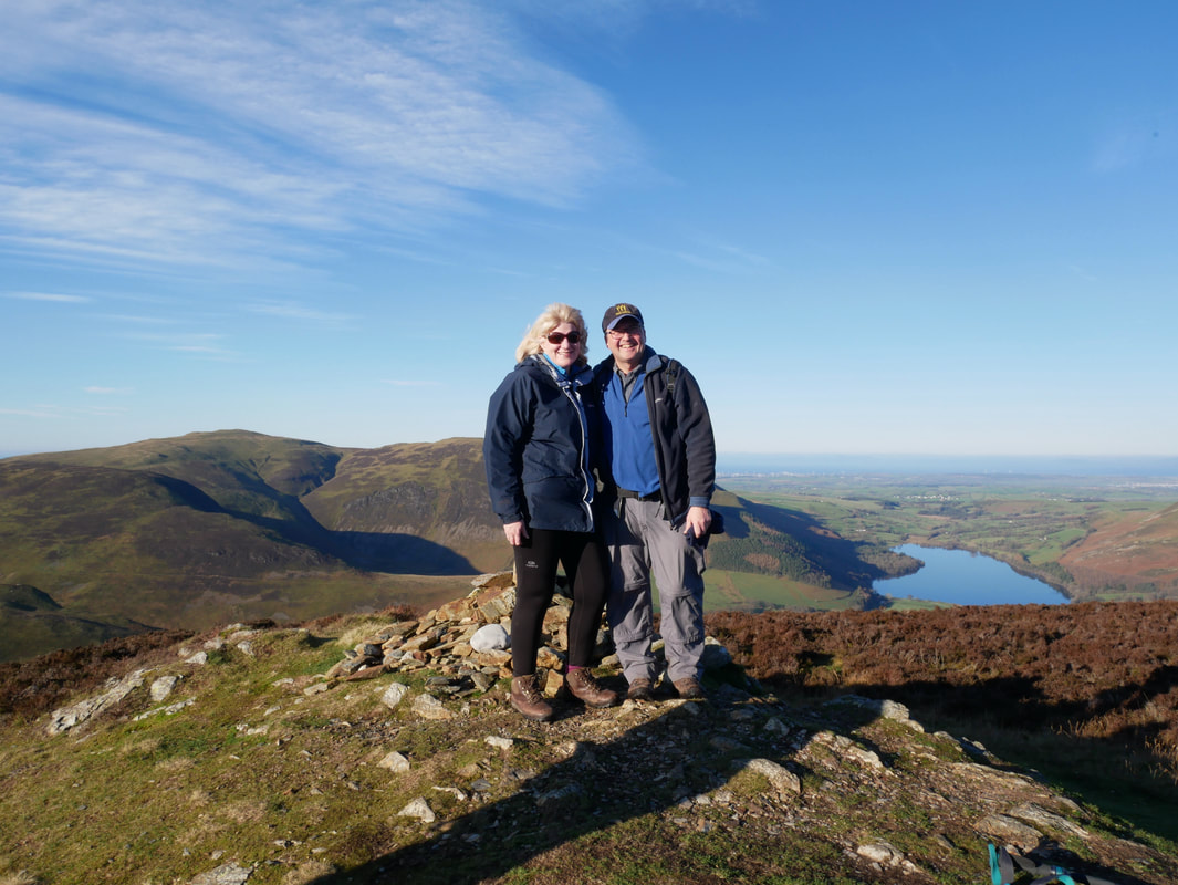
The group on the Wainwright South Top summit of Mellbreak
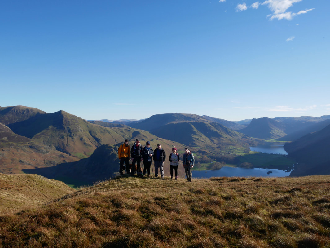
With visibility and views like this it was turning out to be a fantastic days walking
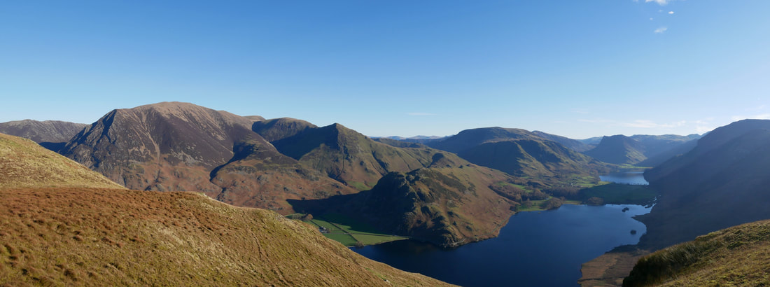
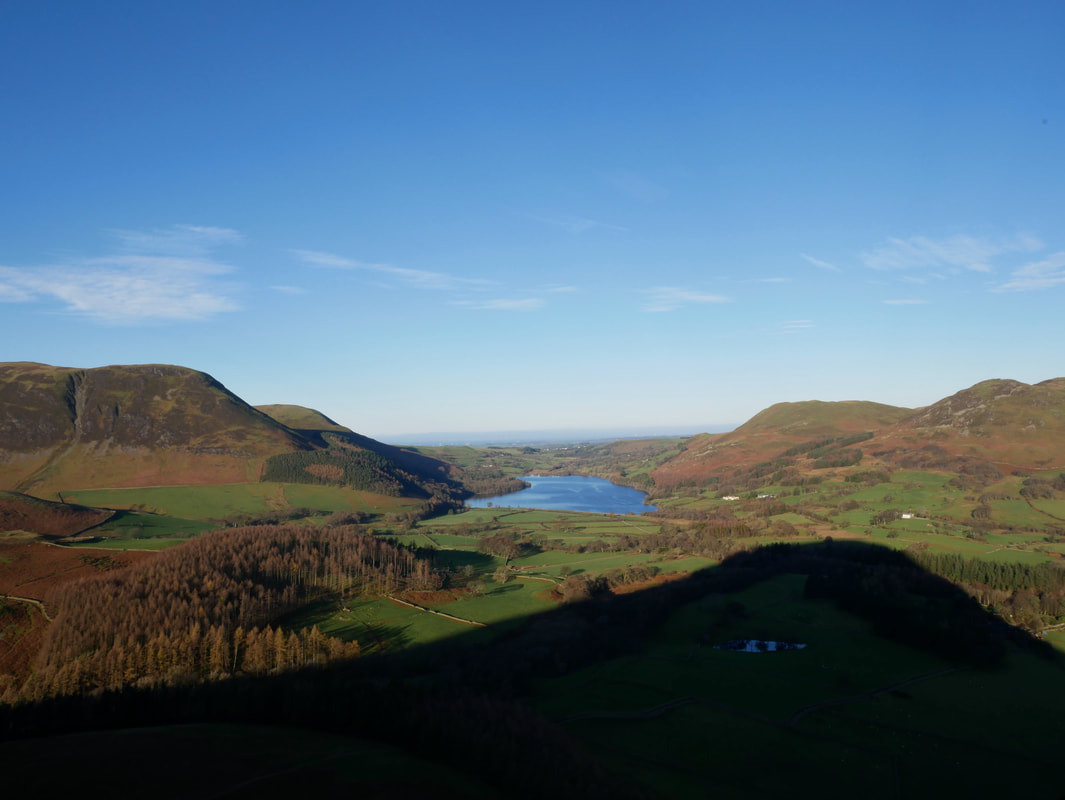
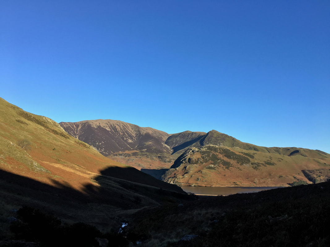
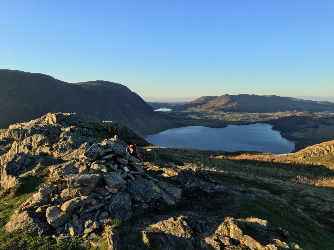
The superb panorama down Crummock Water & Buttermere from Mellbreak.
Our next summit of Rannerdale Knotts sits above Crummock Water just right of centre.
Our next summit of Rannerdale Knotts sits above Crummock Water just right of centre.
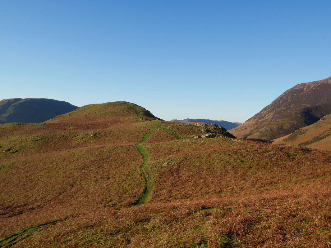
The gentle grassy descent of Mellbreak's South Ridge - a doddle when you compare it to the North Ridge ascent
Another view of Rannerdale Knotts across Crummock Water this time from near Scale Force
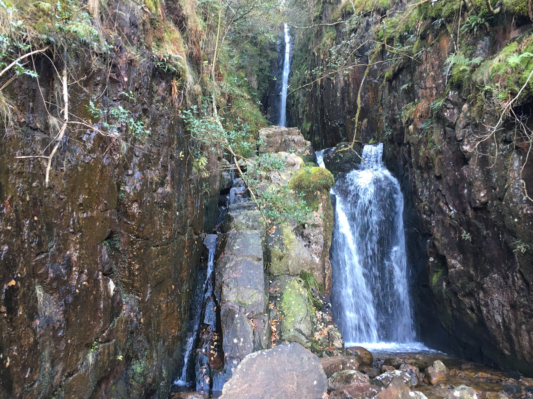
Scale Force
From Scale Force we were now off to Buttermere via the gate on the path to the right
Mellbreak from the Buttermere path
Scale Bridge which passes over Buttermere Dubs
The Fish Inn, Butttermere
Never been in as I always use The Bridge Inn for some reason - must give it a go one day
Never been in as I always use The Bridge Inn for some reason - must give it a go one day
The route across Low Bank to Rannerdale Knotts
Robinson & High Snockrigg
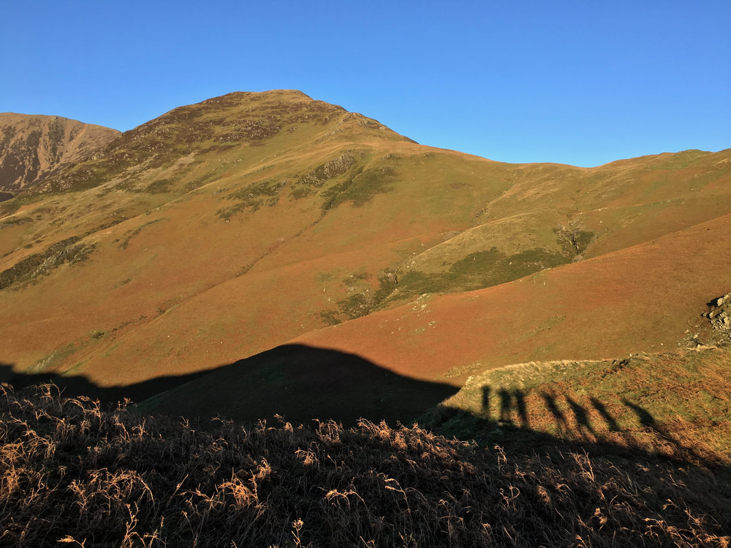
Whiteless Pike & shadows of our former selves
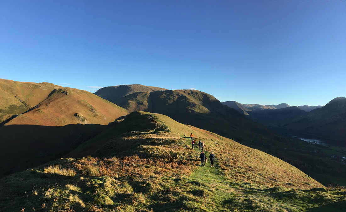
Heading across Low Bank to Rannerdale Knotts
The Lad Hows ascent to Grasmoor with Whiteless Pike to the right
The summit of Rannerdale Knotts (and a photo bombing dog)
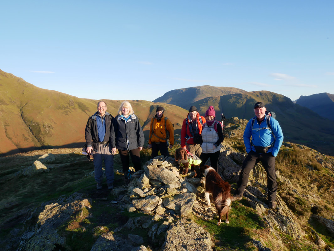
With my walking companions on the summit of Rannerdale Knotts
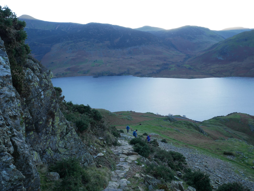
The steep descent from Rannerdale Knotts down to Hause Point.
An alternative descent should the steepnesss not be to your liking would be to double back along Low Bank to follow the path that handrails Squat Beck to reach a footbridge at Dale How.
An alternative descent should the steepnesss not be to your liking would be to double back along Low Bank to follow the path that handrails Squat Beck to reach a footbridge at Dale How.
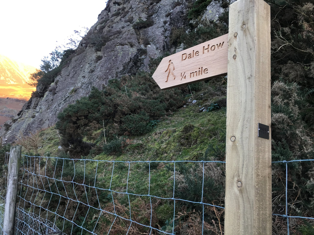
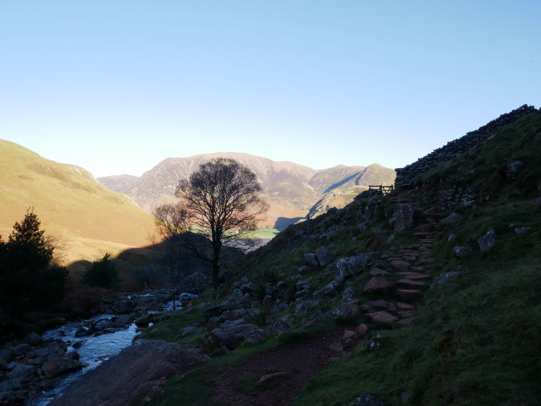
The path to Dale How near Hause Point
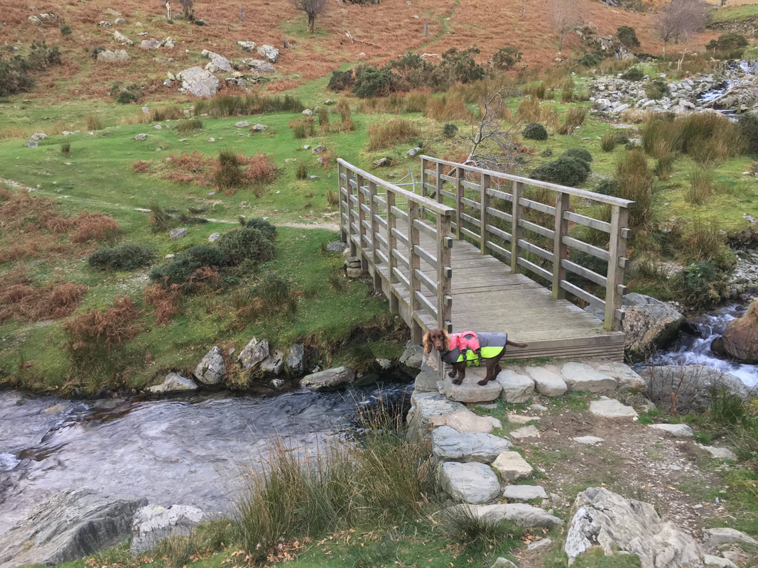
The footbridge over Squat Beck. This is where the lower path via the beck rejoins the route.
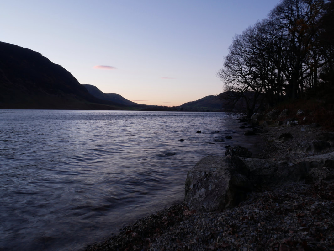
Nearing dusk now as we follow the shoreline of Crummock Water back to Scale Hill