Bamburgh to Craster - Monday 16 September 2019
Route
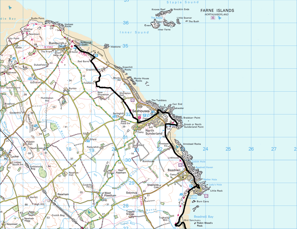
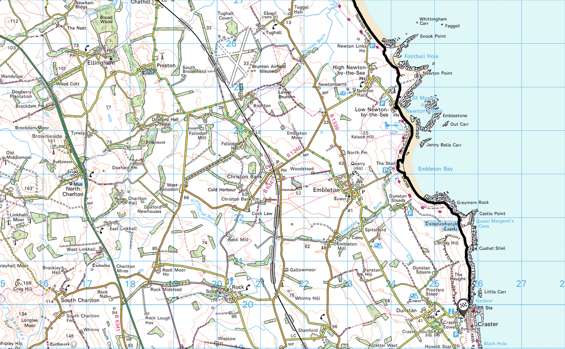
Bamburgh - North Sunderland - Seahouses - Beadnell - Newton Links - Low Newton by-the-Sea - Embleton Bay - Dunstanburgh Castle - Craster
Parking
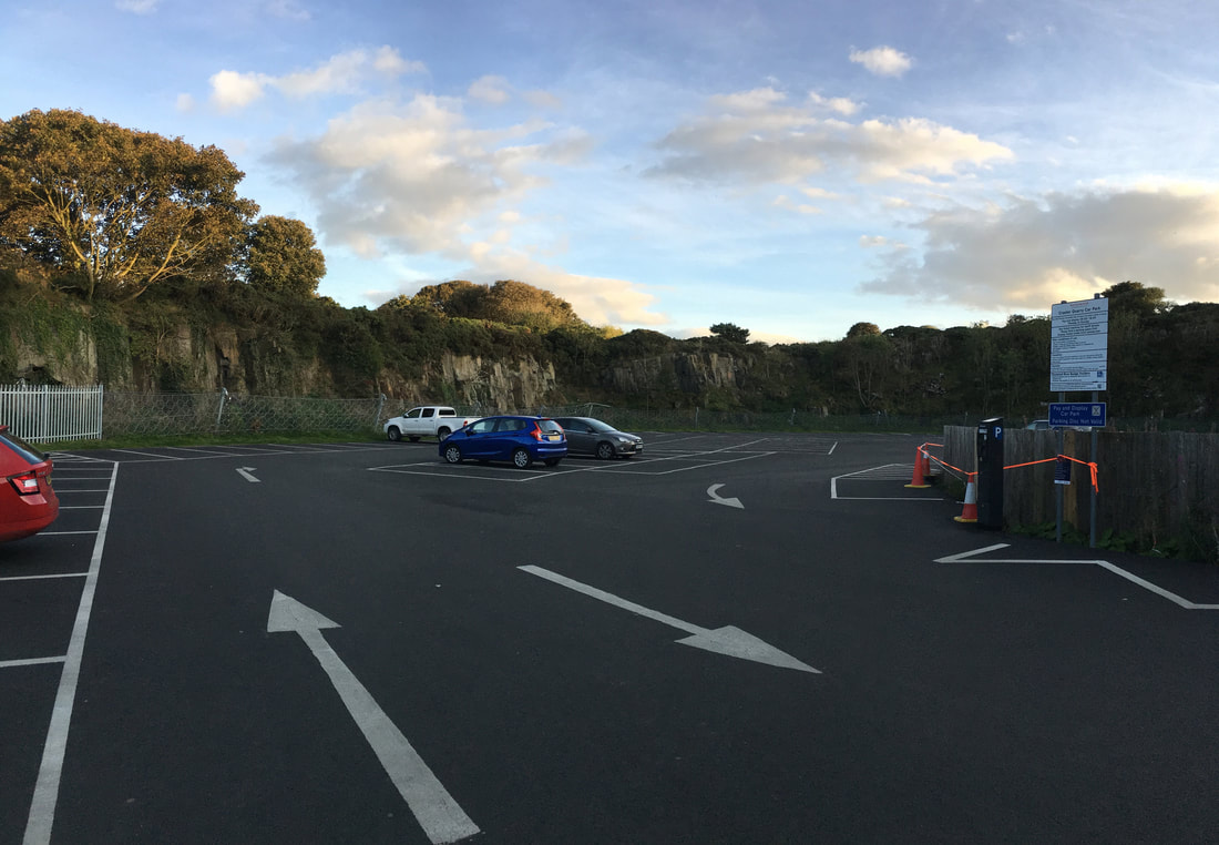
Craster Quarry Car Park (Charge) - Grid Ref is NU 257197. The nearest postcode is NE66 3TP. We caught the X18 bus to Bamburgh from the Bus Stop near the junction of West End & Haven Hill in Craster - right by the harbour.
Mileage
15.2 miles
Terrain
Field paths and sandy beaches.
Weather
Mainly bright & sunny with some overcast periods.
Time Taken
6hrs 35mins
Total Ascent
495ft (151m)
Map
OS Explorer 332 - Alnwick & Amble
Walkers
Dave, Angie & Fudge
|
GPX File
|
| ||
If the above GPX file fails to download or presents itself as an XML file once downloaded then please feel free to contact me and I will send you the GPX file via e-mail.
Walk Description
Craster Quarry Car Park
Before being turned into a Car Park, the quarry produced Whinstone which amongst other things was used to pave the streets of London. The first recorded quarrying here was in 1772 with the quarry closing in 1939, however it was reopened again in 1941 in order to provide stone for airfields during the war.
Before being turned into a Car Park, the quarry produced Whinstone which amongst other things was used to pave the streets of London. The first recorded quarrying here was in 1772 with the quarry closing in 1939, however it was reopened again in 1941 in order to provide stone for airfields during the war.
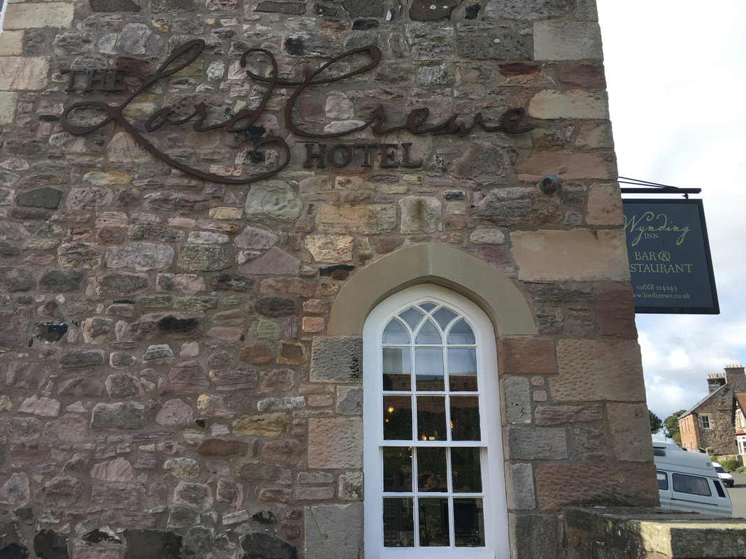
The bus dropped us off virtually outside the Lord Crewe Hotel in Bamburgh.
With all day to do the walk, before starting out we sampled their fare with regard to a Bacon Sarnie - and very nice it was too.
With all day to do the walk, before starting out we sampled their fare with regard to a Bacon Sarnie - and very nice it was too.
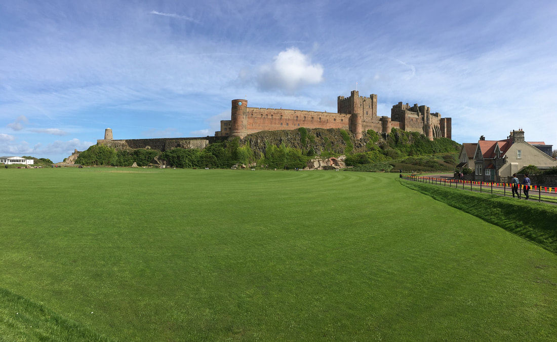
Bamburgh Castle
Once home to the kings of ancient Northumbria, Bamburgh Castle is one of Northumberland's most iconic buildings. The Bamburgh castle we see today is a relatively recent structure, built by famed industrialist the first Lord Armstrong in 1894 at vast cost. Lord Armstrong was also responsible for building Cragside House, Gardens & Estates which is nearby at Rothbury. During its more recent history, Bamburgh Castle welcomed Royal guests and English kings, one of whom, Edward IV destroyed it in the Wars of the Roses. Lord Armstrong's restoration saved it from ruin and the castle provides an ancestral home to the Armstrong family to this day as well as a venue for weddings etc and it is also open to the public.
Once home to the kings of ancient Northumbria, Bamburgh Castle is one of Northumberland's most iconic buildings. The Bamburgh castle we see today is a relatively recent structure, built by famed industrialist the first Lord Armstrong in 1894 at vast cost. Lord Armstrong was also responsible for building Cragside House, Gardens & Estates which is nearby at Rothbury. During its more recent history, Bamburgh Castle welcomed Royal guests and English kings, one of whom, Edward IV destroyed it in the Wars of the Roses. Lord Armstrong's restoration saved it from ruin and the castle provides an ancestral home to the Armstrong family to this day as well as a venue for weddings etc and it is also open to the public.
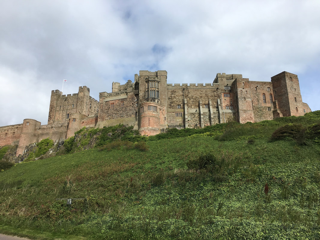
The southern ramparts of Bamburgh Castle - it is certainly an impressive structure
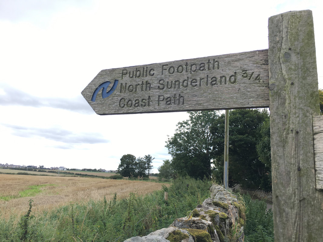
The entire route today followed The St Oswald's Way & The Northumberland Coast Path
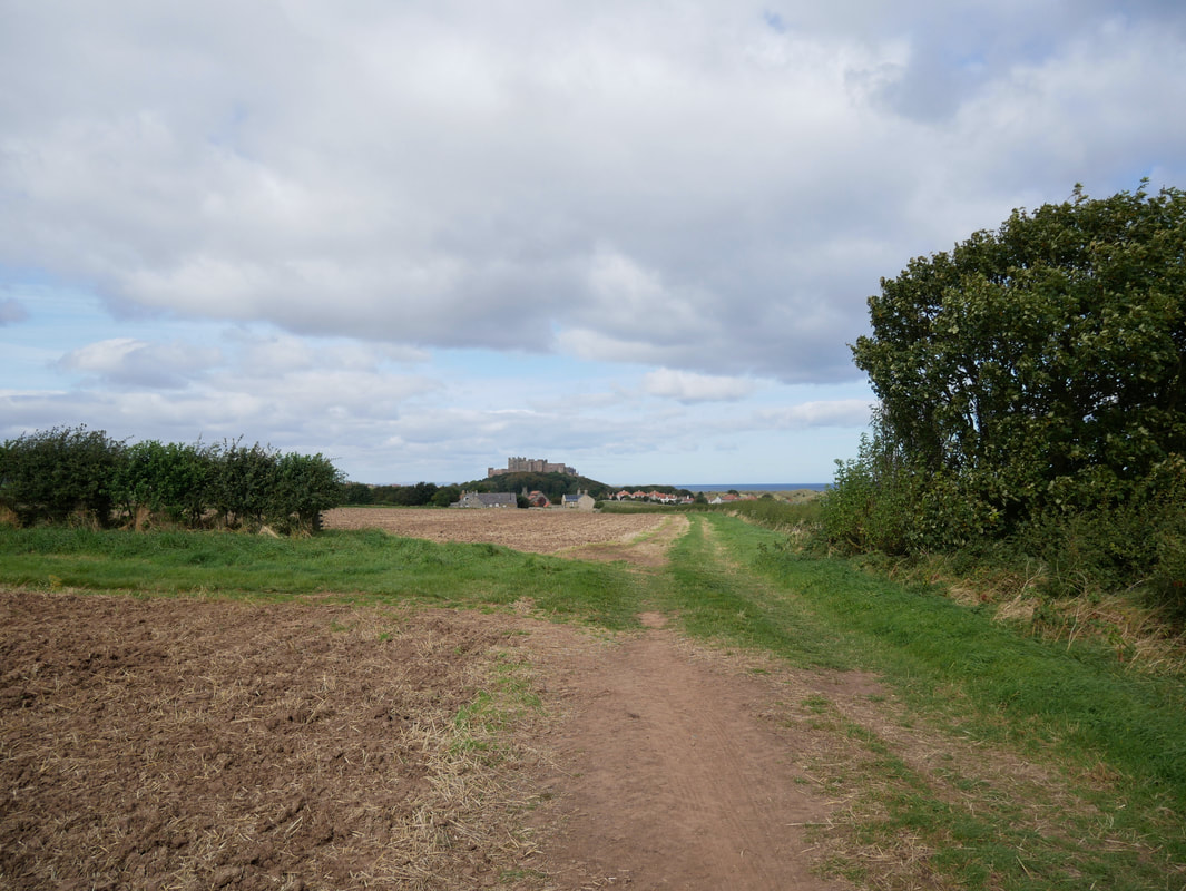
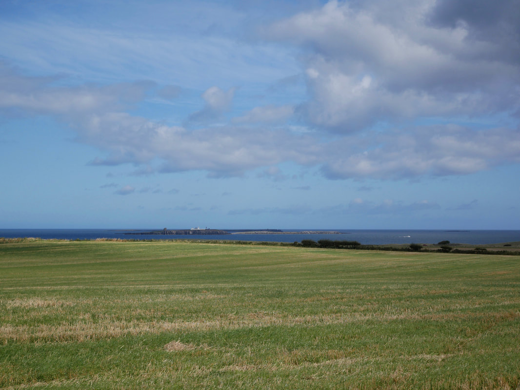
Looking back to Bamburgh from near the Ingram Burn
The Farne Islands
The Farne Islands are a group of 15 and 20 islands depending on the level of the tide. They are scattered about 1.5 to 4.75 miles from the mainland, divided into the Inner Group and the Outer Group. The main islands in the Inner Group are Inner Farne, Knoxes Reef, the East and West Wideopens (all joined together on very low tides), and (somewhat separated) the Megstone; the main islands in the Outer Group are Staple Island, the Brownsman, the North and South Wamses, Big Harcar, and the Longstone. The two groups are separated by Staple Sound. The highest point, on Inner Farne, is 62 feet (19 m). The islands have no permanent population, the only residents being National Trust assistant rangers during part of the year; they live in the old pele tower on the Inner Farne (the largest and closest inshore of the islands), and the lighthouse cottage on the Brownsman in the outer group.
The Farne Islands are a group of 15 and 20 islands depending on the level of the tide. They are scattered about 1.5 to 4.75 miles from the mainland, divided into the Inner Group and the Outer Group. The main islands in the Inner Group are Inner Farne, Knoxes Reef, the East and West Wideopens (all joined together on very low tides), and (somewhat separated) the Megstone; the main islands in the Outer Group are Staple Island, the Brownsman, the North and South Wamses, Big Harcar, and the Longstone. The two groups are separated by Staple Sound. The highest point, on Inner Farne, is 62 feet (19 m). The islands have no permanent population, the only residents being National Trust assistant rangers during part of the year; they live in the old pele tower on the Inner Farne (the largest and closest inshore of the islands), and the lighthouse cottage on the Brownsman in the outer group.
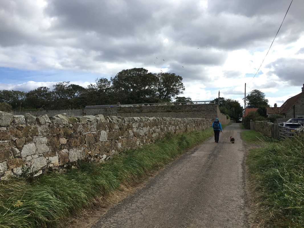
Approaching North Cottage just outside Seahouses
After a short amount of walking on quiet farm tracks we headed over farmland to North Sunderland which is to the west of Seahouses
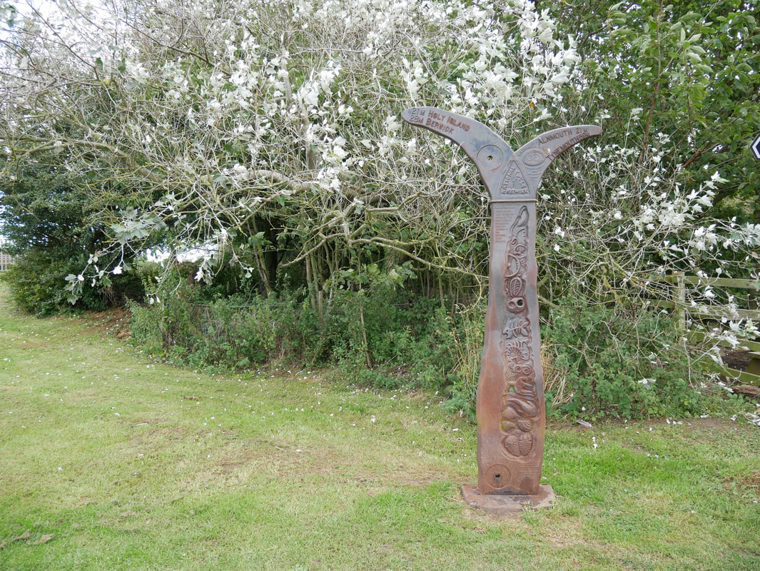
The National Cycle Network sign near Seahouses. The sign is one of 1000 mileposts that were funded by the Royal Bank of Scotland to mark the creation of the National Cycle Network.
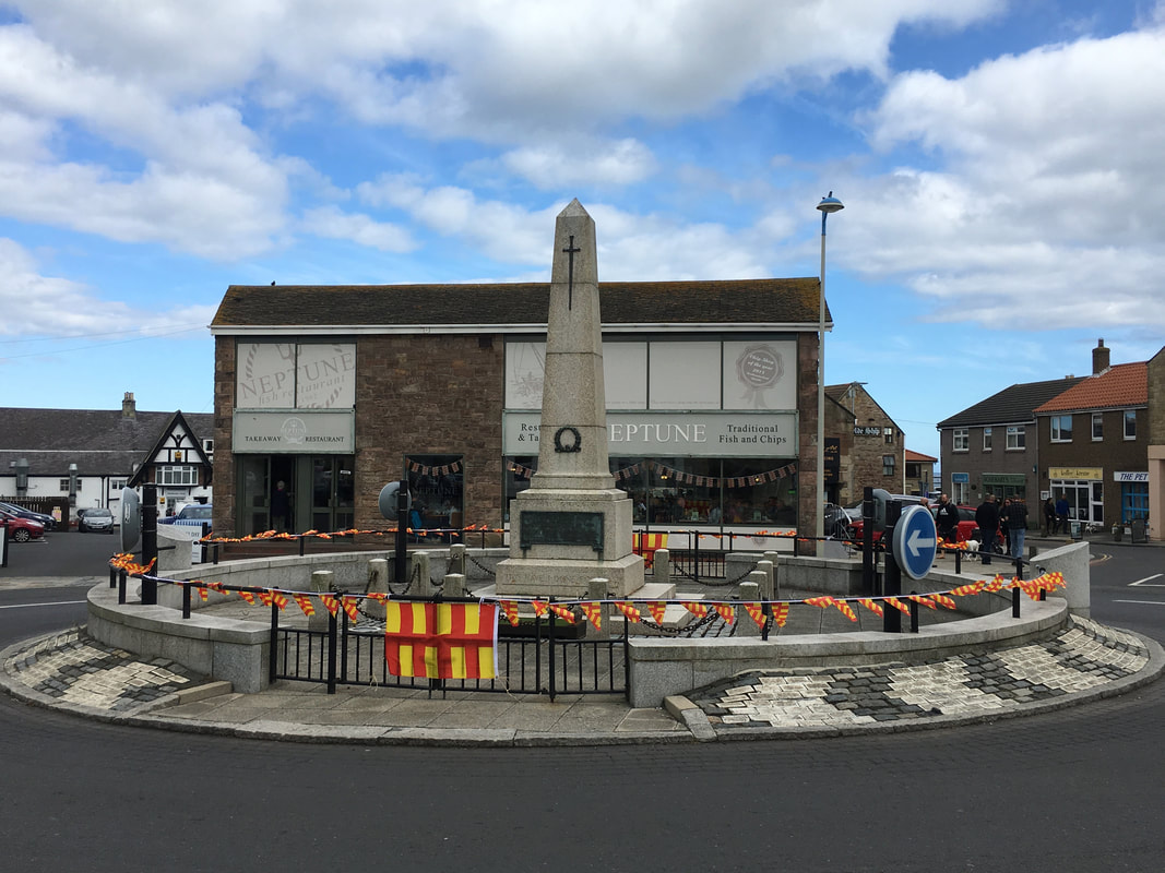
The War Memorial in Seahouses - right in the middle of a roundabout
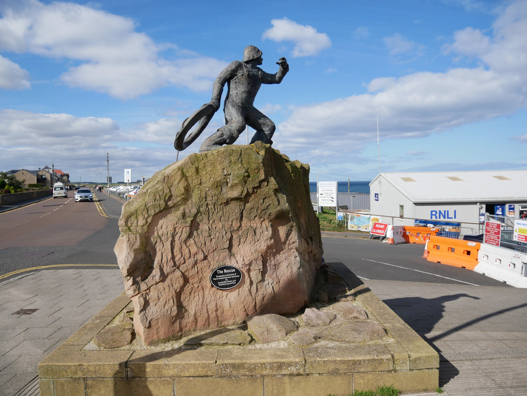
Situated just over the road from the RNLI Station "The Rescue" statue was presented to the Parish of
North Sunderland and Seahouses by Countrylife Homes and Seafield Caravan Park
North Sunderland and Seahouses by Countrylife Homes and Seafield Caravan Park
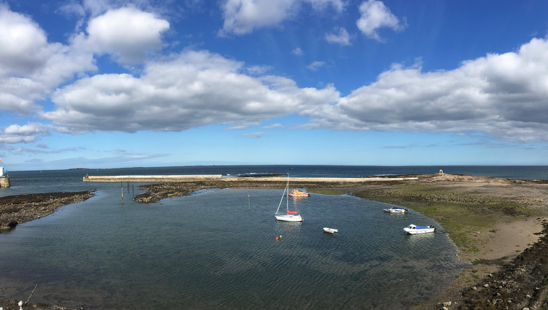
The harbour at Seahouses
Leaving Seahouses for Beadnell
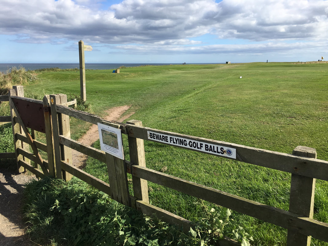
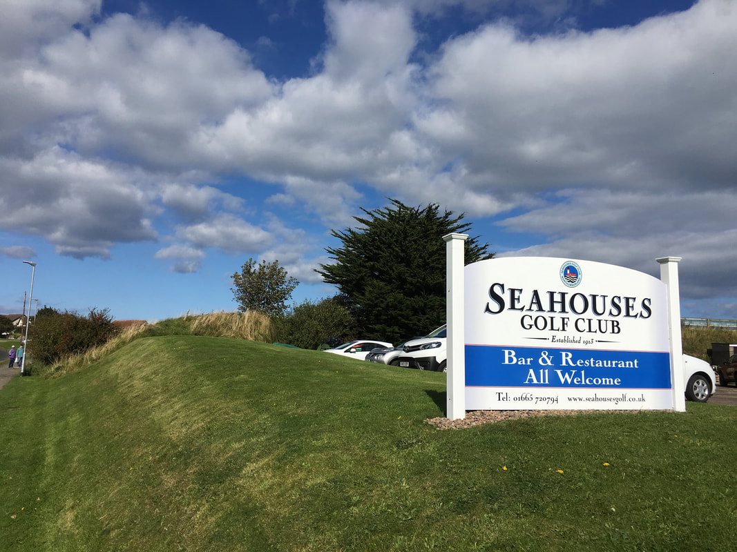
The route follows a footpath through the picturesque Seahouses Golf Course - this was the first of two golf courses we would travel over today
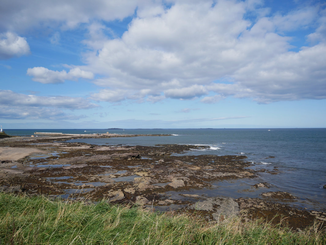
Braidcarr Point near Seahouses
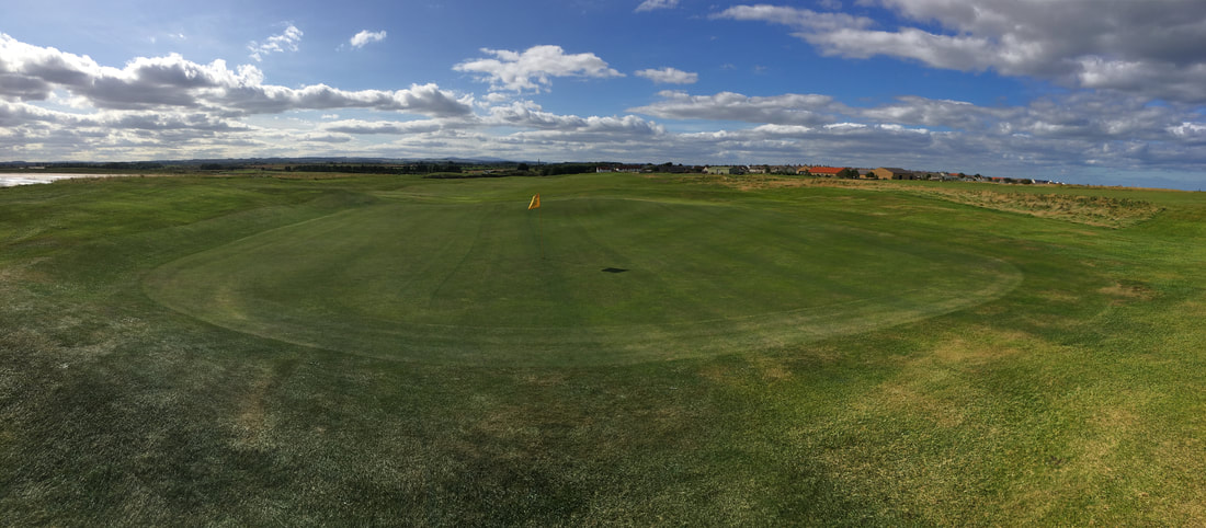
A view over one of the greens on Seahouses Golf Course
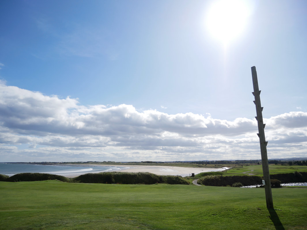
Right in the middle of one of the fairways on the golf course is this rocket post.
The post was used to practice cliff rescues. A rocket with a rope attached was fired from the post to a stranded ship, and the survivors would then return to safety via the ‘breeches buoy’ – a pair of large canvas shorts and a lifebuoy hanging from the rope.
The post was used to practice cliff rescues. A rocket with a rope attached was fired from the post to a stranded ship, and the survivors would then return to safety via the ‘breeches buoy’ – a pair of large canvas shorts and a lifebuoy hanging from the rope.
I don't think this is the 8-seater
Leaving Seahouses Golf Course - it was certainly in good nick and very picturesque
From Seahouses the route heads over the links to Beadnell
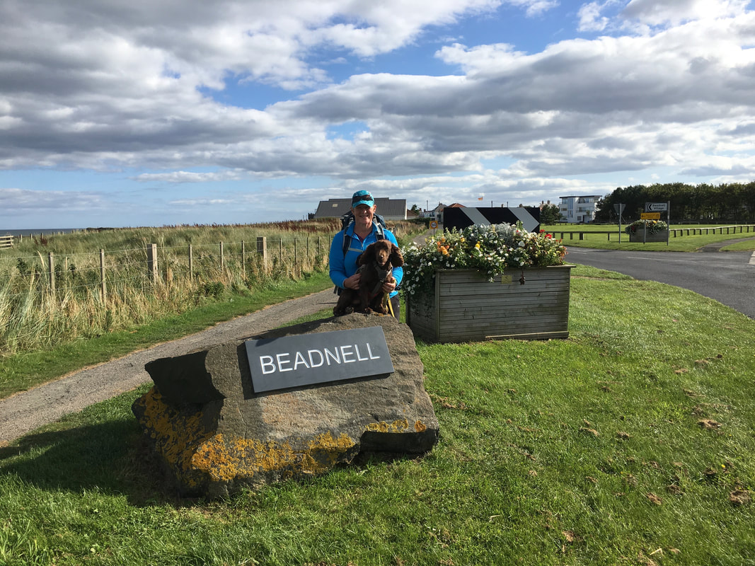
Angie & Fudge at Beadnell
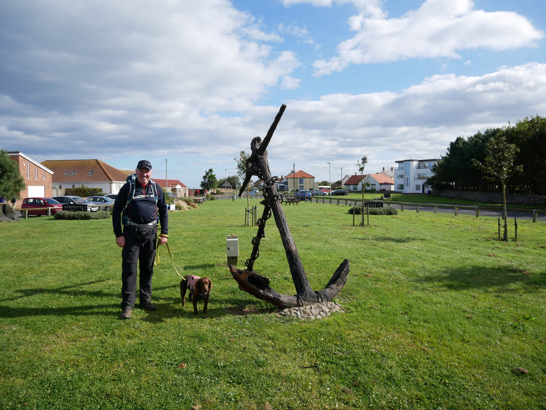
Fudge with an absolutely massive anchor
From the village of Beadnell we were now off to Low Newton which we knew had a very good pub - hopefully open!
Looking back to Beadnell Harbour
To the east of Beadnell harbour are 3 lime kilns which can be seen here. The earliest lime kiln was built in 1789. Limestone was burnt in lime kilns to make quicklime, which was used as a fertilizer and in building mortar. Much of the lime produced was transported by ship for use in Scotland. The lime kilns are now used by local fishermen to store lobster pots.
To the east of Beadnell harbour are 3 lime kilns which can be seen here. The earliest lime kiln was built in 1789. Limestone was burnt in lime kilns to make quicklime, which was used as a fertilizer and in building mortar. Much of the lime produced was transported by ship for use in Scotland. The lime kilns are now used by local fishermen to store lobster pots.
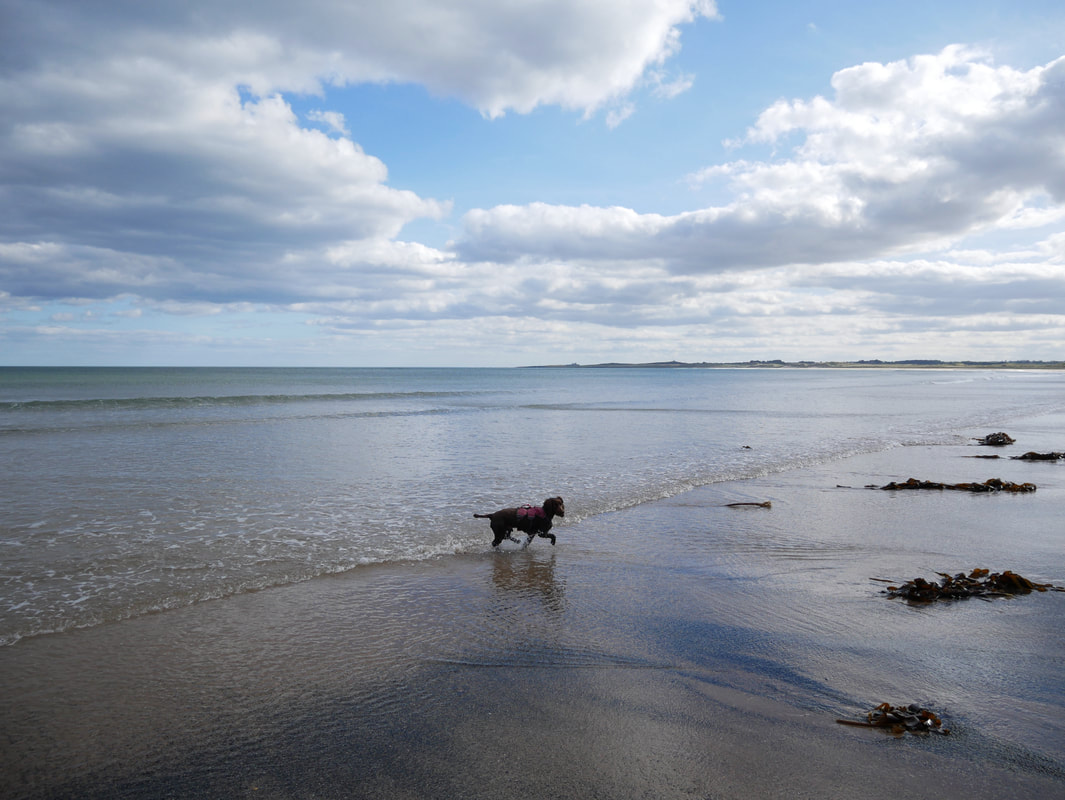
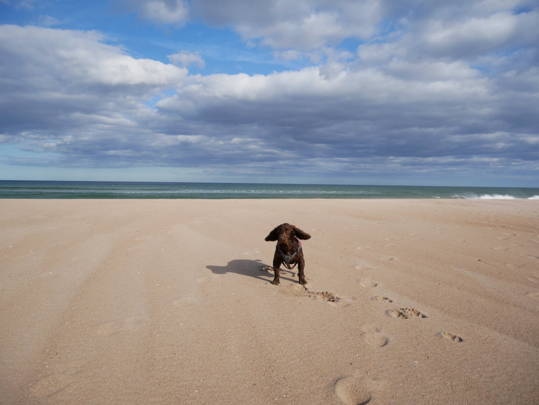
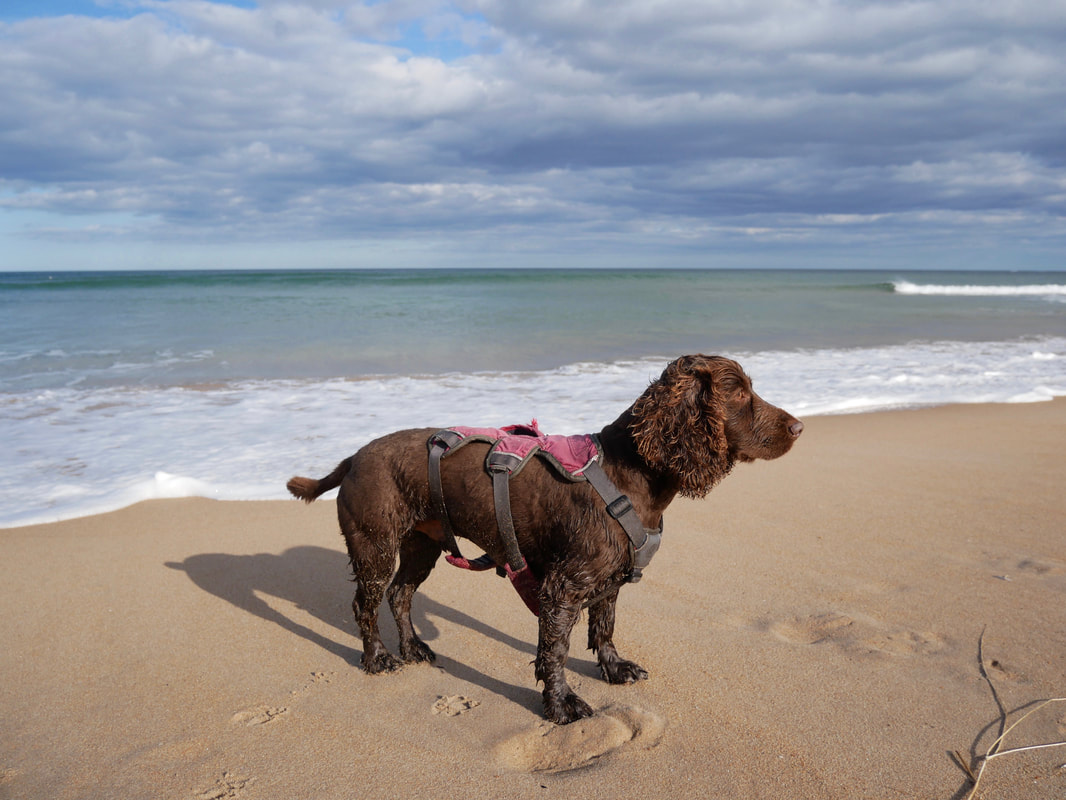
Fudge practices his dressage in the North Sea
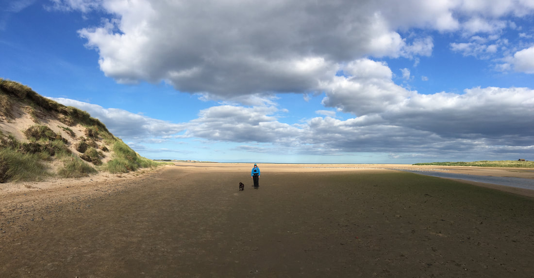
Heading along Tughall Mill Links
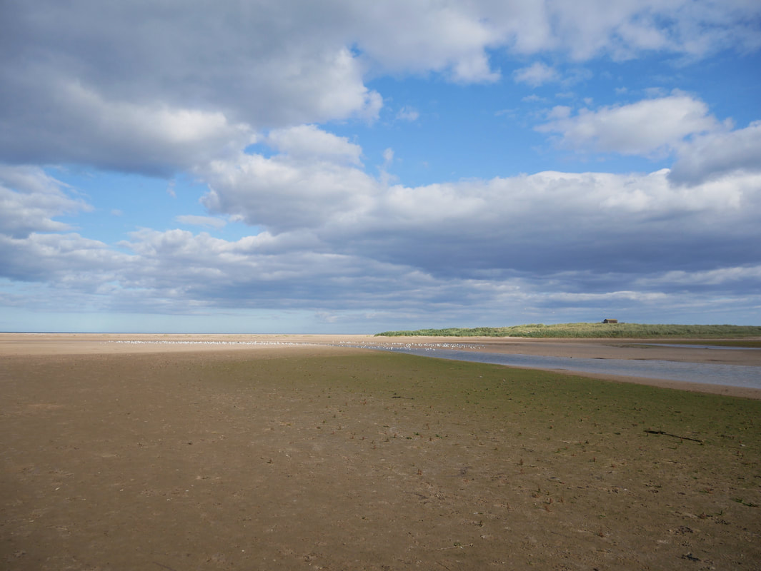
Approaching the end of Tughall Mill Links - nobody here
At the end of Tughall Mill Links the burns of Long Nanny, Tughall Burn & Brunton Burn converge and run into the sea
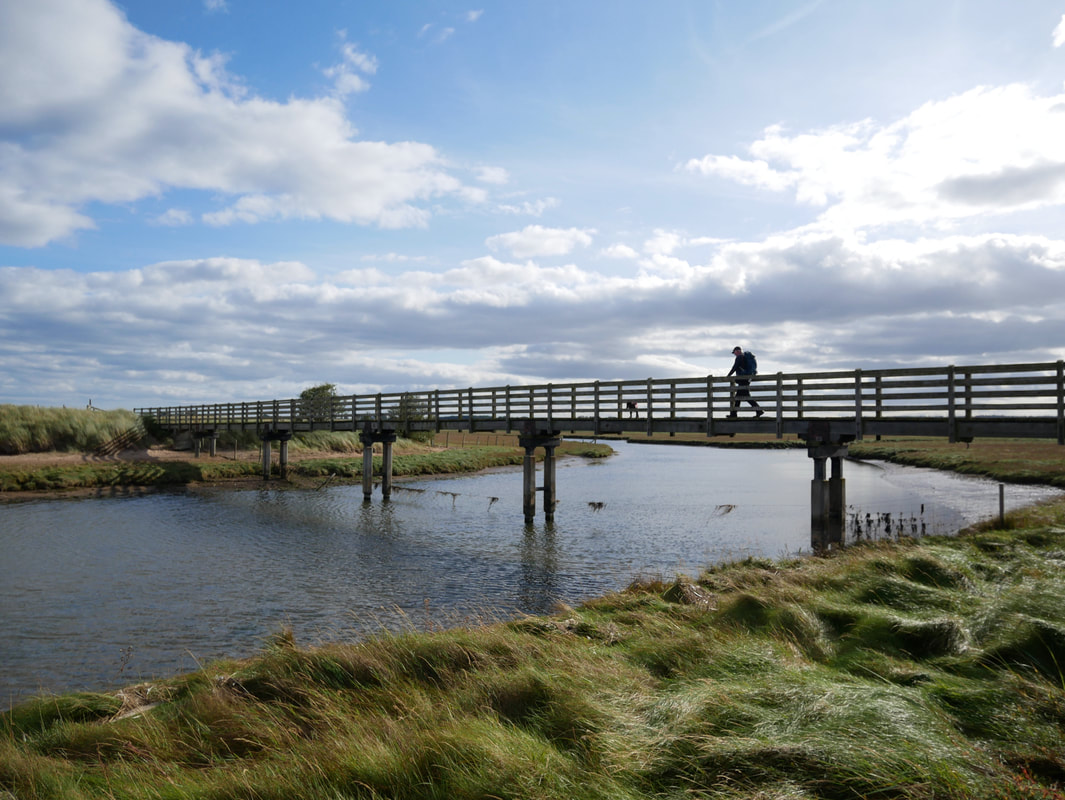
The footbridge crossing the outflow
From the footbridge the route heads up and around the dunes to Newton Links
Have it!!
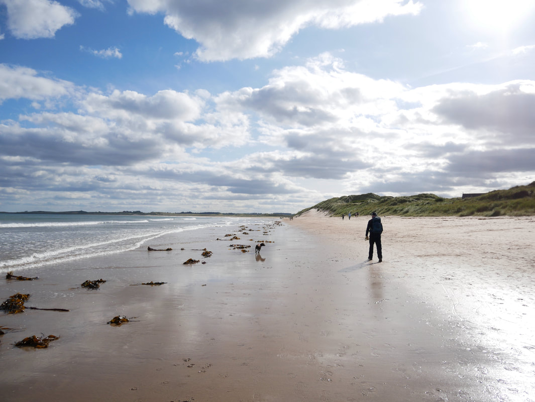
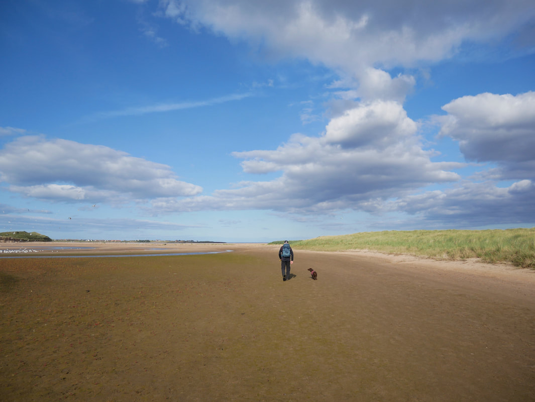
It is safe to say that Fudge loves the beach
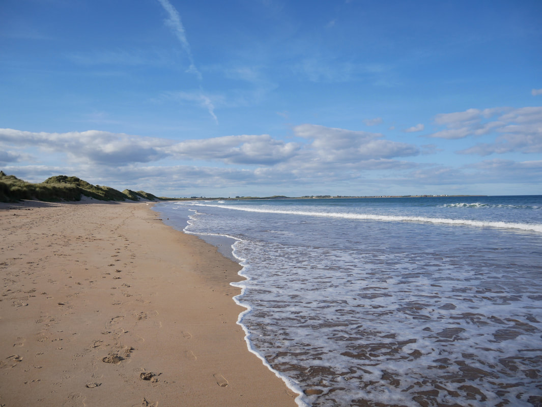
Heading along Beadnell Bay looking back towards Bamburgh
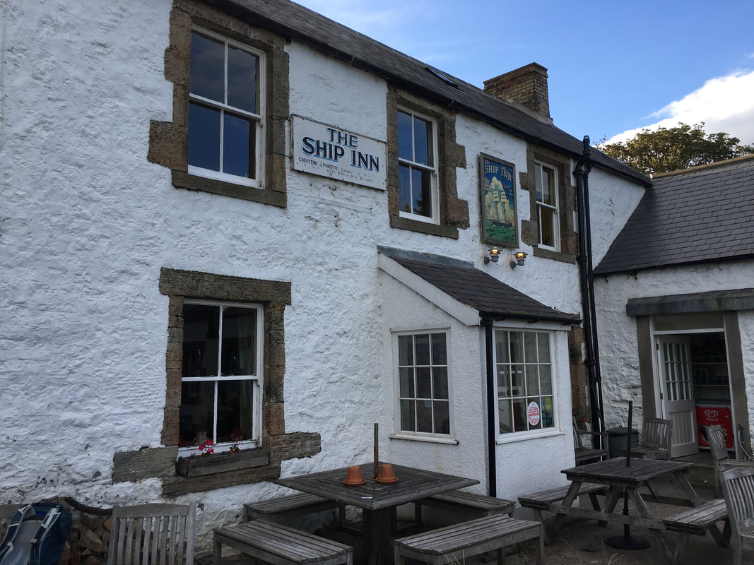
The Ship Inn at Low Newton-by-the-Sea
When pubs come along on a walk it is always nice to stop and have a drink. For one it is refreshing and secondly you are supporting the local economy. The pub is a belter and has its own brewery on site - give it a go if you are ever in the area..
When pubs come along on a walk it is always nice to stop and have a drink. For one it is refreshing and secondly you are supporting the local economy. The pub is a belter and has its own brewery on site - give it a go if you are ever in the area..
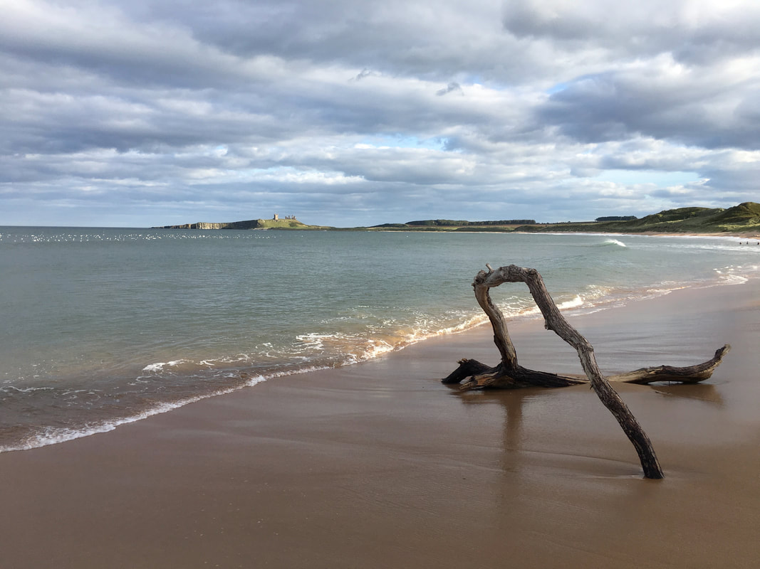
Driftwood on the beach at Embleton Bay
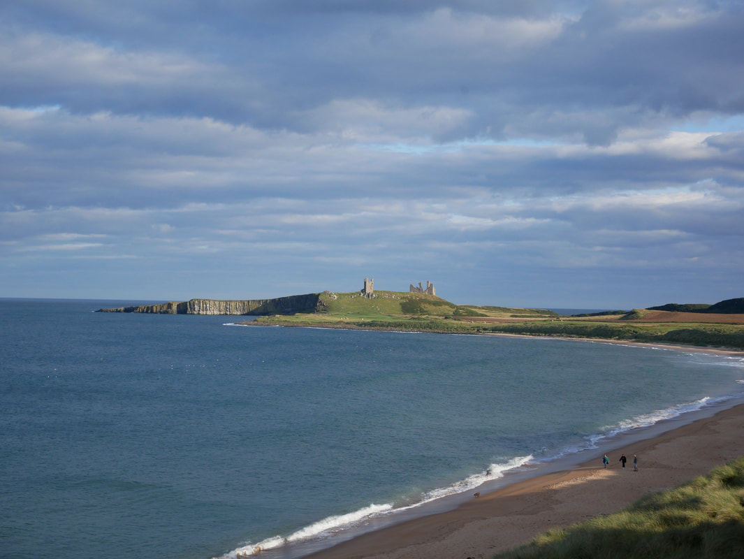
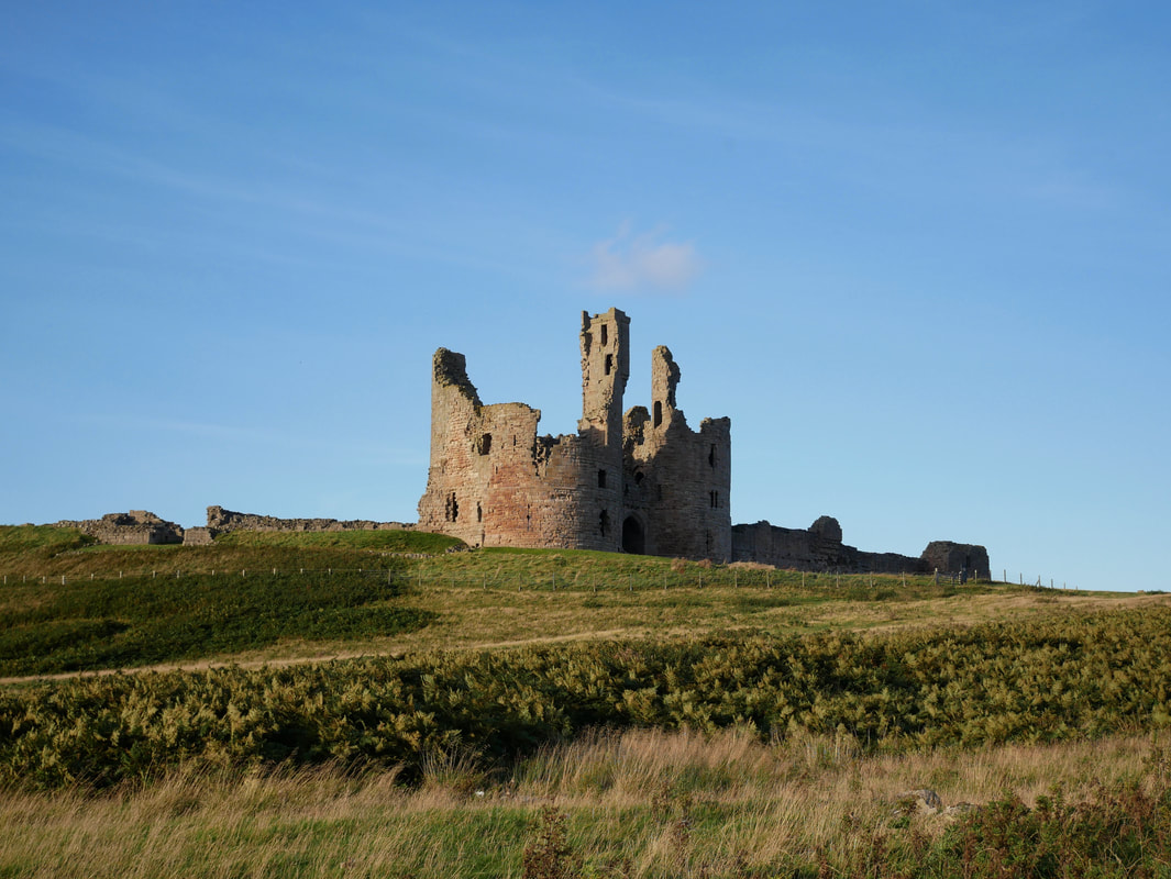
Approaching Dunstanburgh Castle
The castle was built at a time when relations between King Edward II and his most powerful baron, Earl Thomas of Lancaster, had become openly hostile. Lancaster began the fortress in 1313, and the latest archaeological research indicates that he built it on a far grander scale than was originally recognised, perhaps more as a symbol of his opposition to the king than as a military stronghold. Unfortunately the earl failed to reach Dunstanburgh when his rebellion was defeated, and was taken and executed in 1322. Thereafter the castle passed eventually to John of Gaunt, who strengthened it against the Scots by converting the great twin towered gatehouse into a keep. The focus of fierce fighting during the Wars of the Roses, it was twice besieged and captured by Yorkist forces, but subsequently fell into decay.
The castle was built at a time when relations between King Edward II and his most powerful baron, Earl Thomas of Lancaster, had become openly hostile. Lancaster began the fortress in 1313, and the latest archaeological research indicates that he built it on a far grander scale than was originally recognised, perhaps more as a symbol of his opposition to the king than as a military stronghold. Unfortunately the earl failed to reach Dunstanburgh when his rebellion was defeated, and was taken and executed in 1322. Thereafter the castle passed eventually to John of Gaunt, who strengthened it against the Scots by converting the great twin towered gatehouse into a keep. The focus of fierce fighting during the Wars of the Roses, it was twice besieged and captured by Yorkist forces, but subsequently fell into decay.
The final half a mile to the castle is on a path adjacent to Dunstanburgh Castle Golf Course
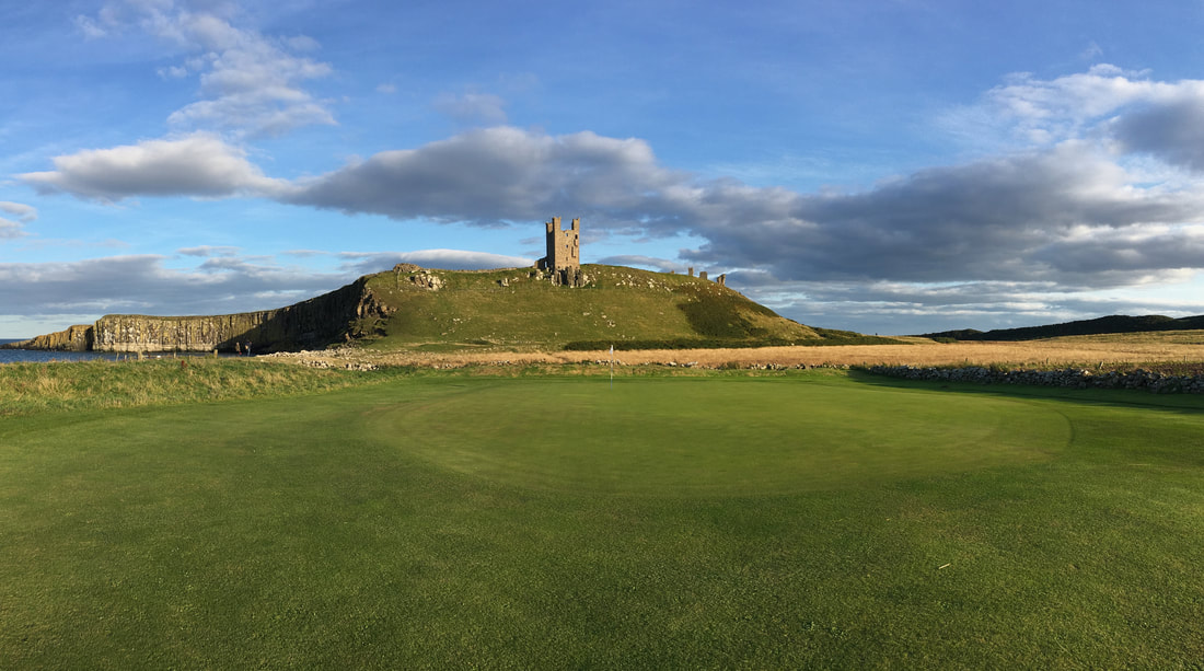
The 13th green of Dunstanburgh Golf Course sits in the shadow of the Castle
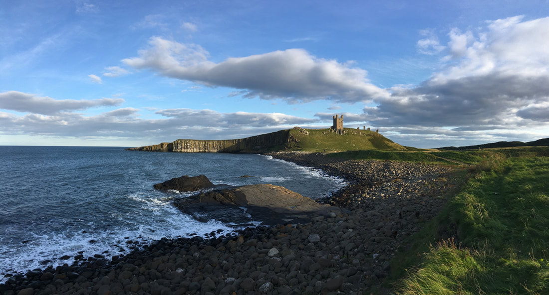
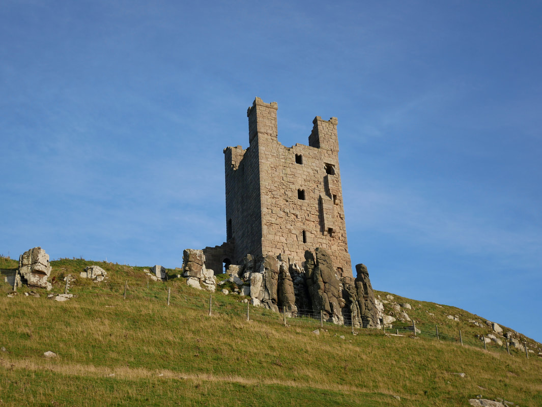
The Lilburn Tower of Dunstanburgh Castle
The Great Gatehouse of Dunstanburgh Castle
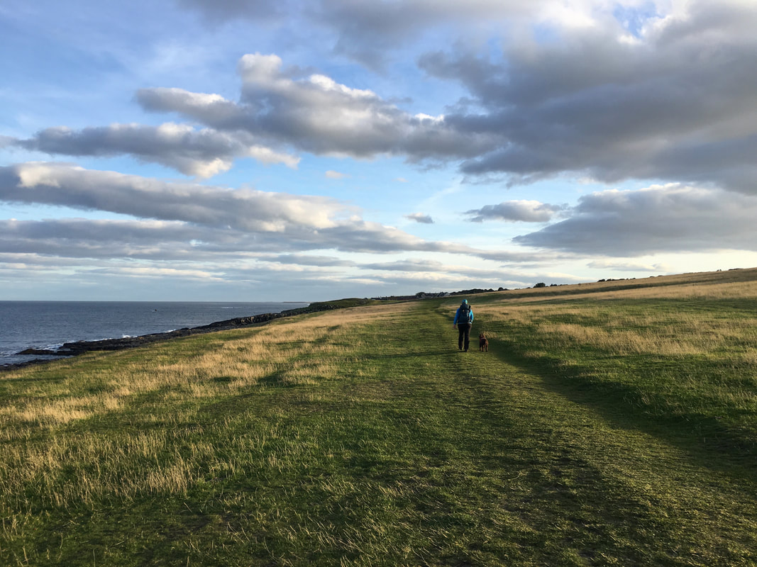
From Dunstanburgh Castle the walk to Craster is along a very pleasant grassy path
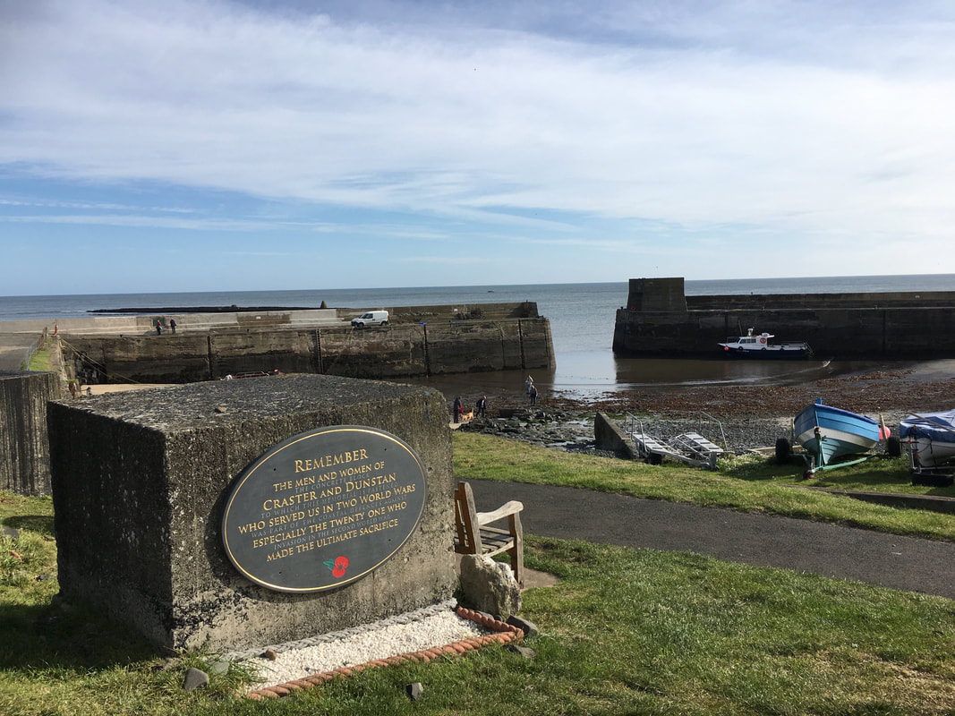
The War Memorial overlooking Craster Harbour
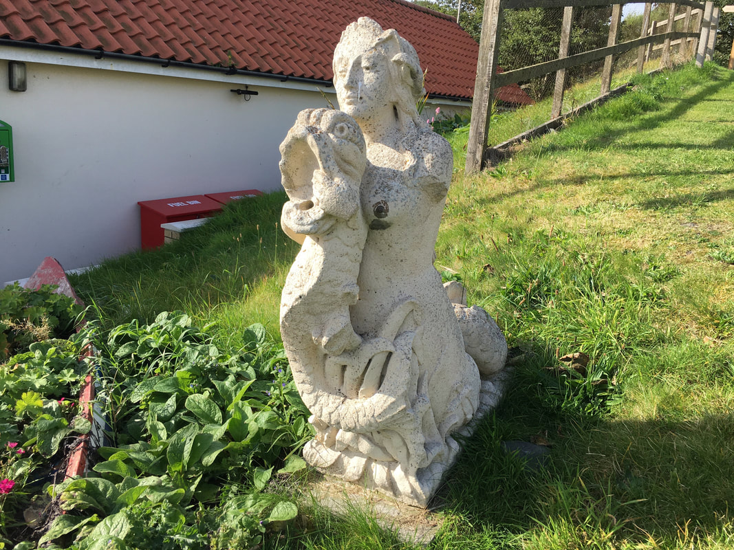
The Craster Mermaid
This piece of public art was originally made as scenery for the TV series Distant Shores (2005) starring Peter Davidson which was set in Craster under the setting of the fictitious Northumbrian island of Hildasay. The Mermaid is now sited near to where it used during filming - outside the RNLI Lifeboat Station.
This piece of public art was originally made as scenery for the TV series Distant Shores (2005) starring Peter Davidson which was set in Craster under the setting of the fictitious Northumbrian island of Hildasay. The Mermaid is now sited near to where it used during filming - outside the RNLI Lifeboat Station.
