Ben Hope - Saturday 7 May 2022
Route
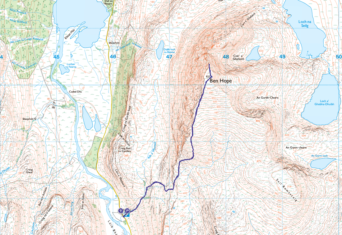
Muiseal - South Ridge - Ben Hope - South Ridge - Muiseal
Parking
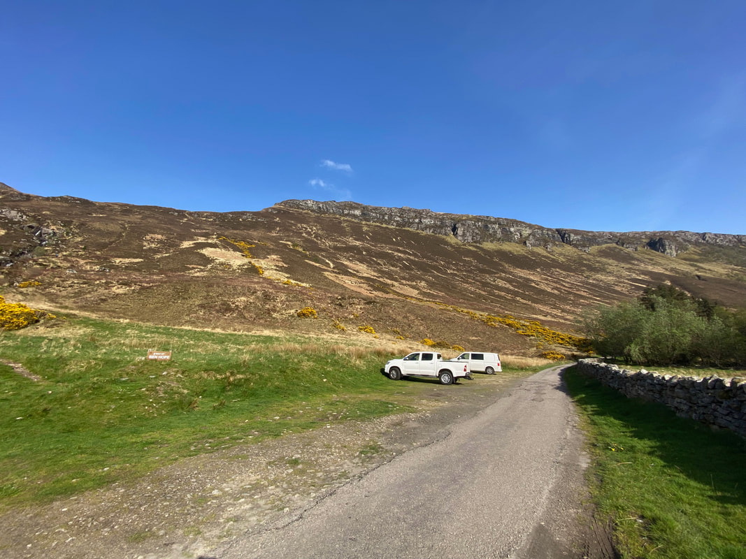
Small parking area (Free) at Muiseal in the valley of Strathmore - Grid Reference NC 462477 (postcode undefined). The Car Park can be approached from either the north or south on a single track road with passing places. The approach from the south is from just north of the village of Altnaharra at the junction of the A836 and the B873. Leaving the A836 to the left, the start is 12.6 miles along the road through the Strathmore Valley. The approach from the north is 8 miles from the head of Loch Hope where a track heads south from the A838. Either way, with being the most northerly Munro it sits in the middle of nowhere.
This entire area is about as wild and rugged as it gets.
Mileage
5.5 miles
Terrain
Good mountain path which is muddy and rough in places but perfectly navigable. The path is clear on the ground but is not shown on the OS Map. It should also be noted that there is a path from the start detailed on the OS Map but this is on the northern bank of the Allt a'Mhuiseil - the main path follows the southern bank.
Weather
Sunny with light breezes and excellent visibility
Time Taken
4hrs 30mins
Total Ascent
3018ft (920m)
Map
OS447 Ben Hope, Ben Loyal & Kyle of Tongue
Walkers
Dave, Angie & Fudge
|
GPX File
|
| ||
If the above GPX file fails to download or presents itself as an XML file once downloaded then please feel free to contact me and I will send you the GPX file via e-mail.
Route Map
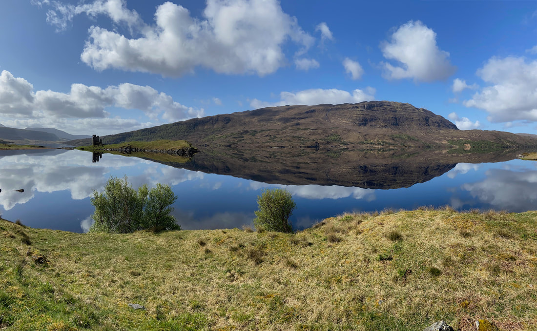
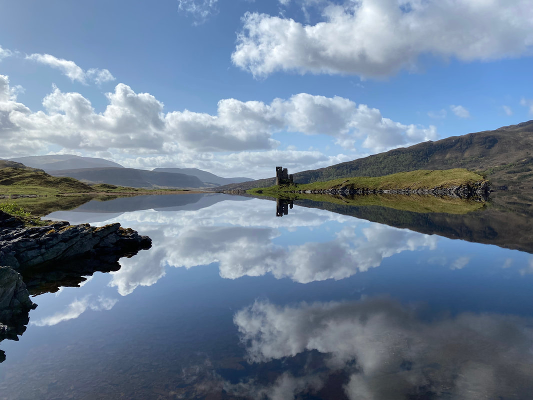
We had been staying near Lochinver for the past 2 weeks and were now making our way north of Lairg to stay at The Crask Inn at Crask. Our journey passed the beautiful Ardvreck Castle on Loch Assynt.
Ardvreck Castle was built in 1490 by the MacLeods of Assynt. It replaced Assynt Castle which was four miles north west of Inchnadamph. The reflections in the Loch are just superb.
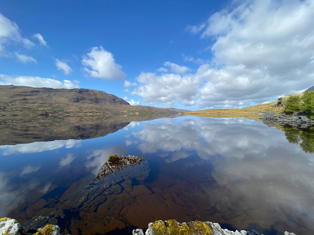
Looking north west up Loch Assynt. We could have sat here all day but had a mountain to climb - onward to Ben Hope
After a long drive from the south we eventually arrived at the parking area at Muiseal in the Strathmore Valley. It's a bit of a camel hike up the Strathmore Valley but on a day like today, the drive was very pleasant indeed.
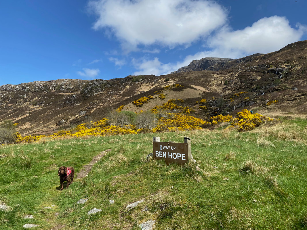
Is this the way hooman? Well it says so on the sign Fudge.
As explained in the preamble above, the route, whilst not marked on the OS Map is clear on the ground. Here we are looking back to the parking area from the main path and the high ground to the rear is Creag na Luibe Baine with the Strathmore River to the left.
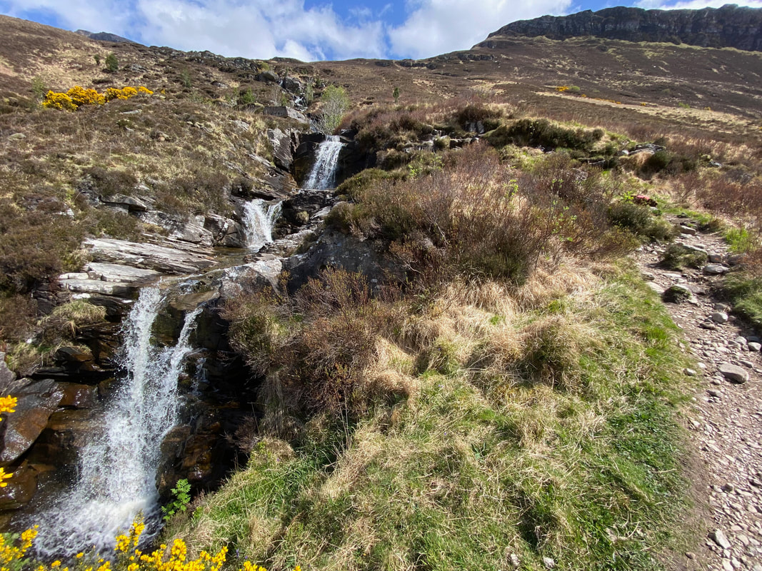
The tumbling waters of the Allt a'Mhuiseil. The path handrails the right hand side of the falls.
The falls of Allt a'Mhuiseil and an inquisitive pooch (click Play to view)
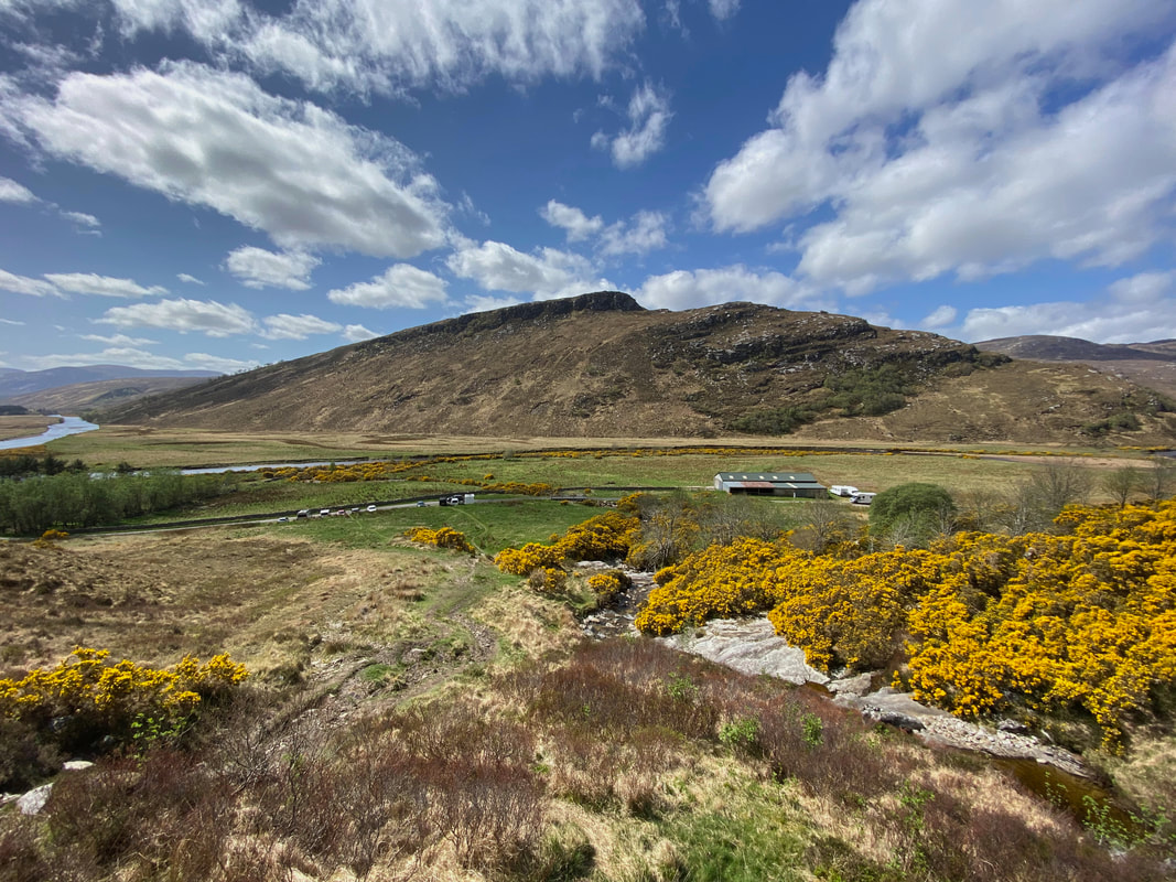
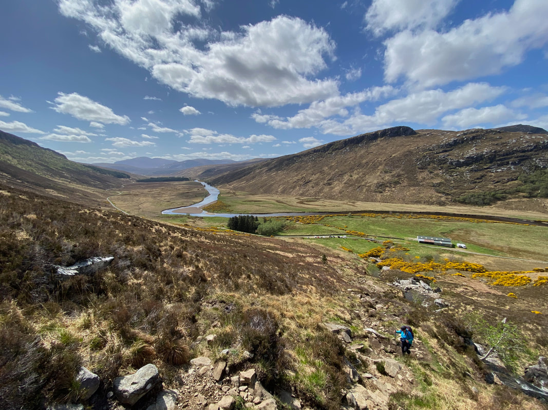
Looking back towards the start with the Strathmore River now in full view. The river flows in to Loch Hope some two miles to the north.
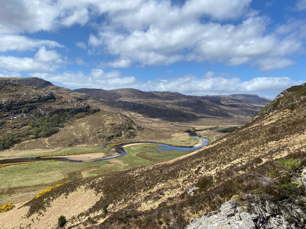
The Strathmore River heading north up the valley to Loch Hope
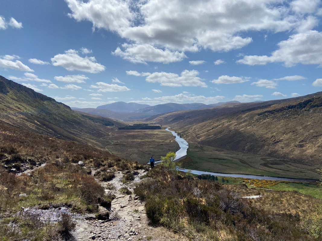
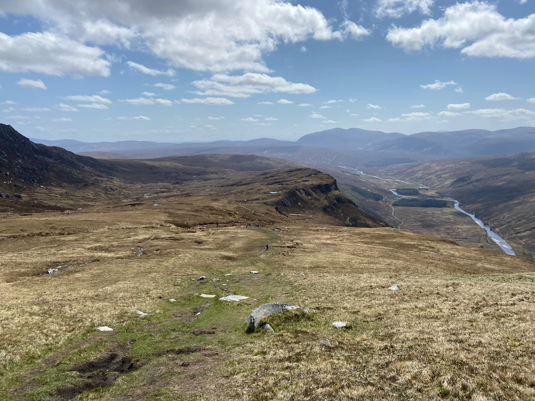
Continuing the climb as we look back down to the Strathmore Valley. The mountain in the distance left of centre is Ben Hee.
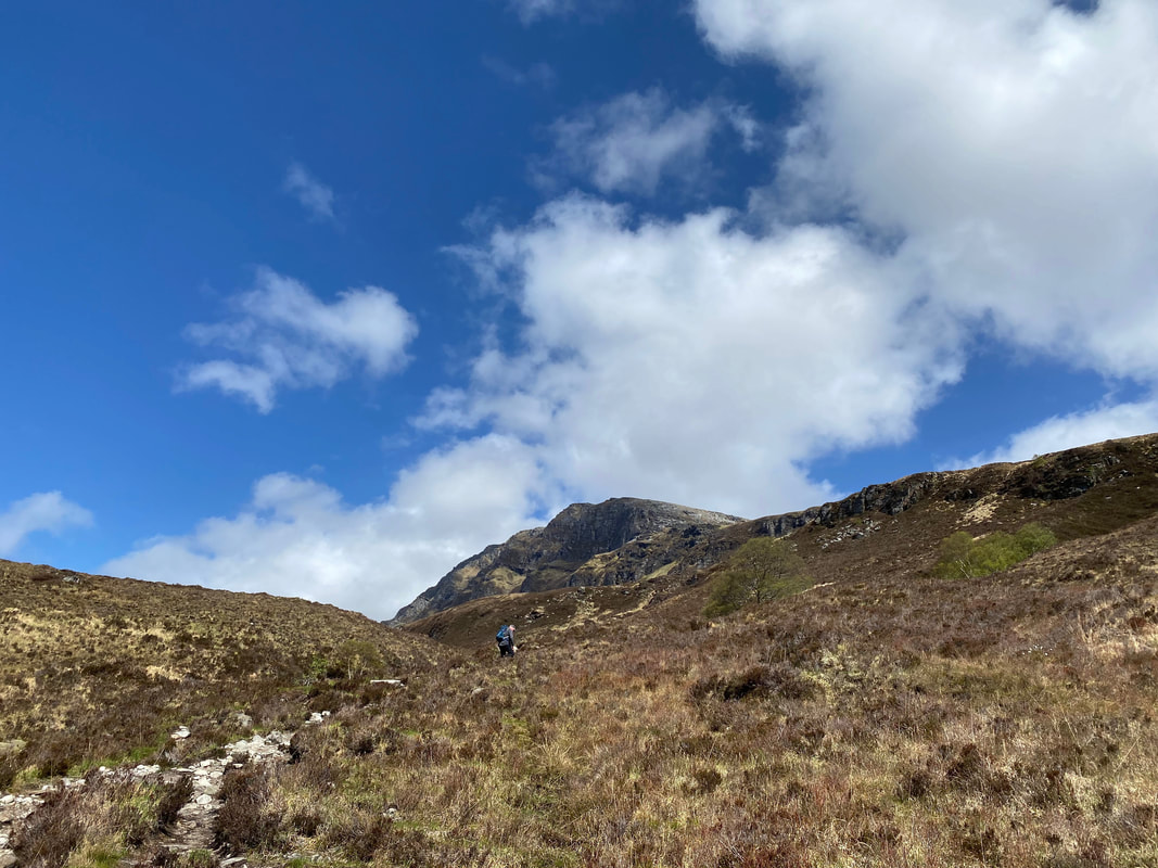
The lower slopes of Ben Hope now in view as we continue to gain height
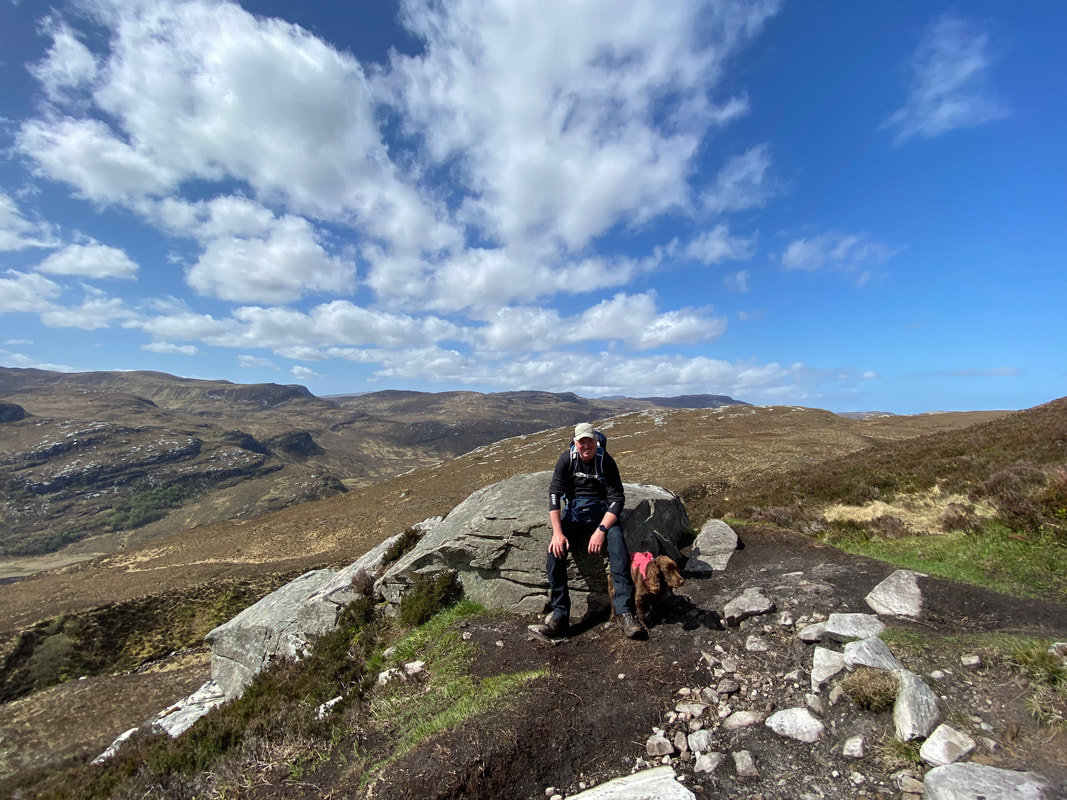
Time for a breather - from this point on the going became a tad fruity underfoot with a bit of bog and the odd muddy section. It didn't last long and once the path had finished zig zagging up the mountain side it became better underfoot.
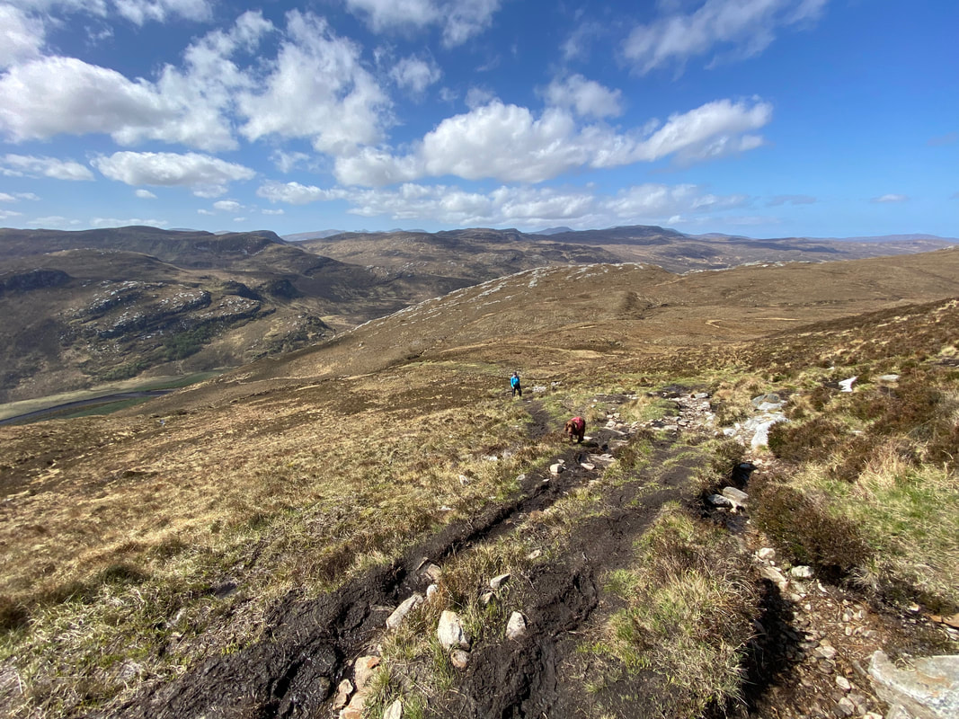
Approaching the start of the muddy section
Once clear of Allt a'Mhuiseil the path began to switch back on itself as it made its way to the upper ridge
Up until this point we had not seen a soul which is hardly surprising with how remote this Munro is.
As height was gained the gradient eased for half a mile or so
Angie below me as we look back to Creag Riabhach
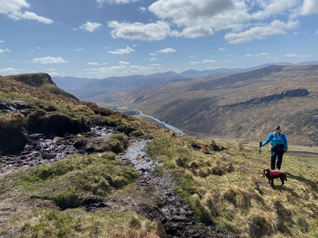
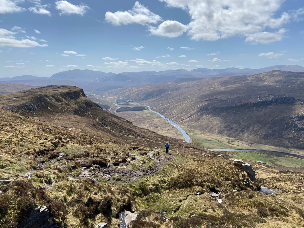
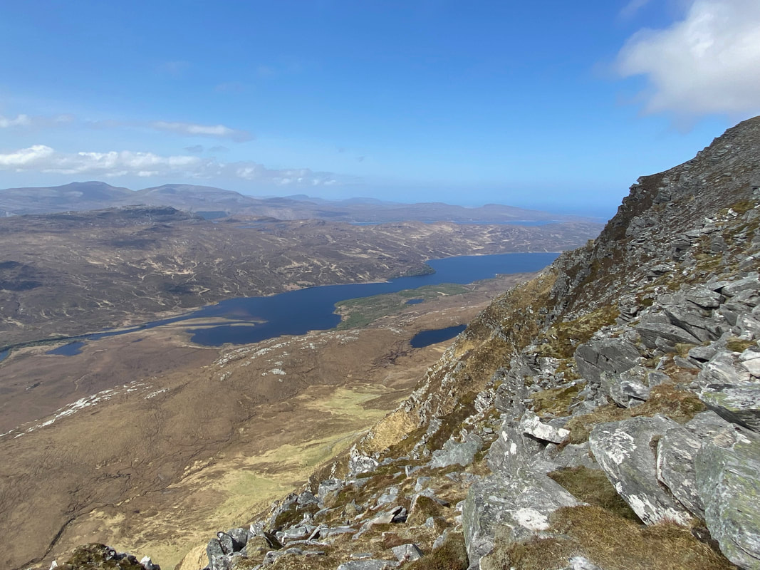
As we got higher the views really did open out down the Strathmore Valley
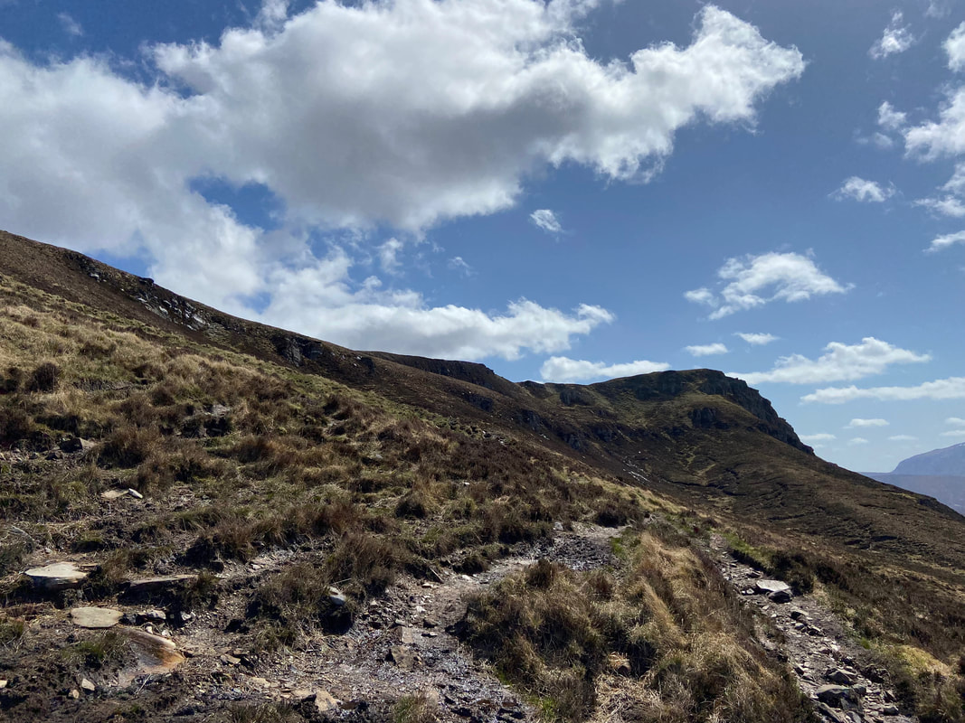
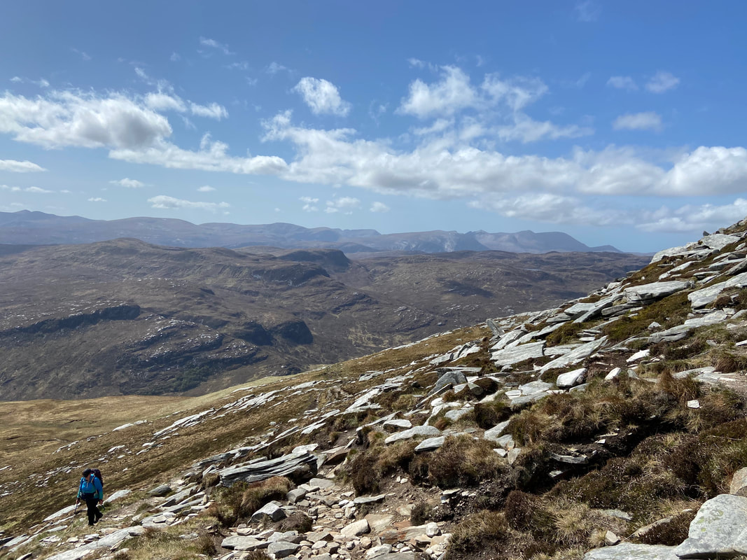
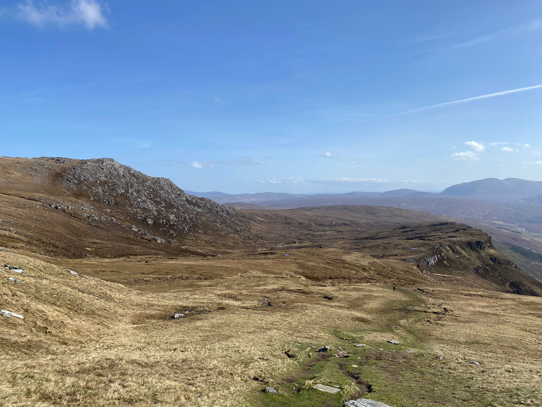
We were now finally up on the south ridge however there was still a fair amount of ascent before reaching the summit
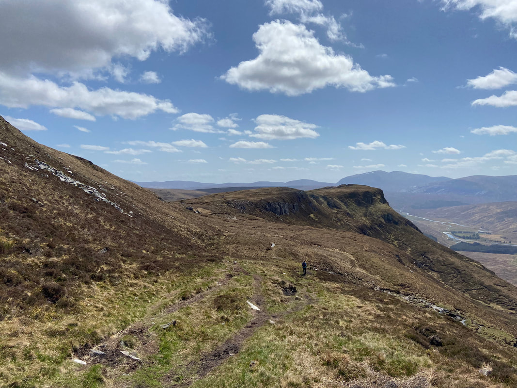
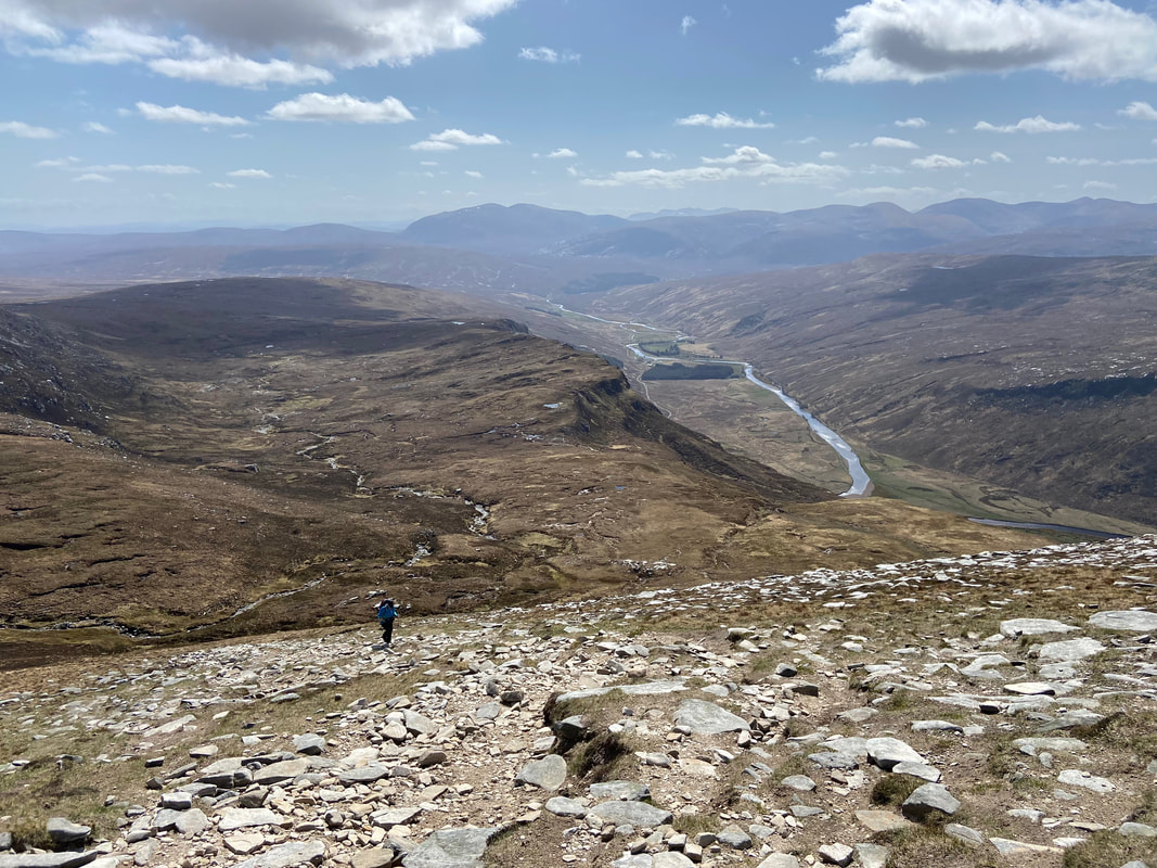
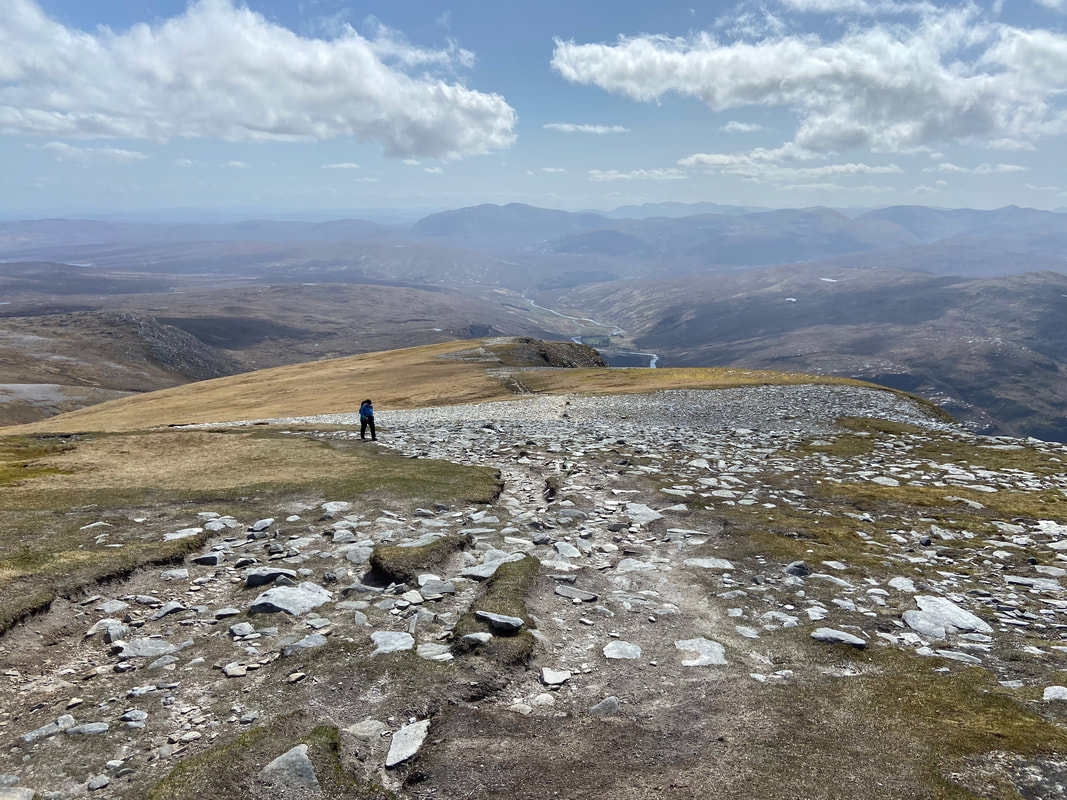
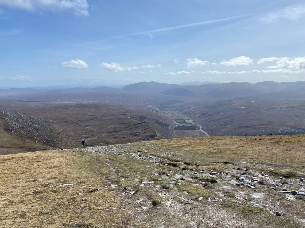
Looking back down the south ridge - the 3 walkers below plus 1 other on the descent were the only people we saw all day
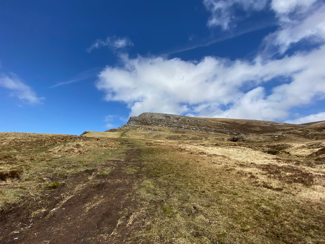
After a gentler gradient on the start of the ridge the climb started to steepen once more
This was hard work but what views
Continuing the climb and the steepness continued
Looking across to Loch Hope
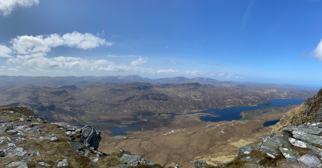
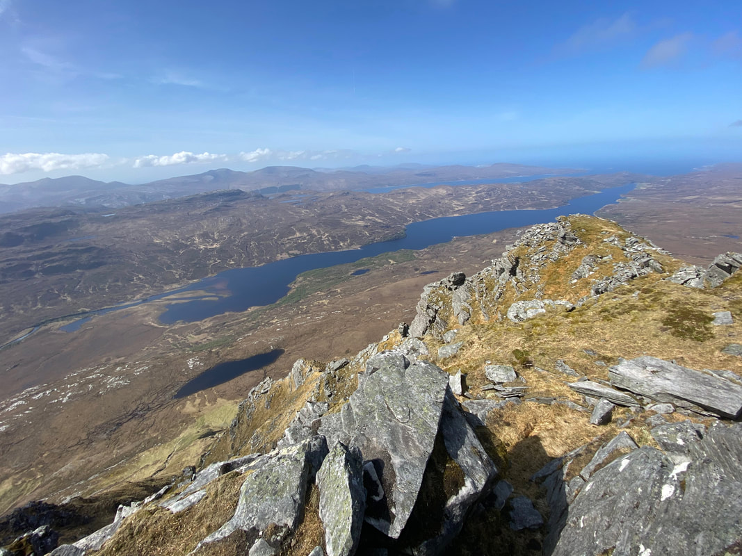
A panoramic view to the north west over Loch Hope
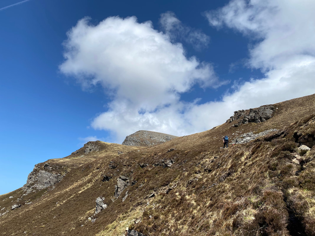
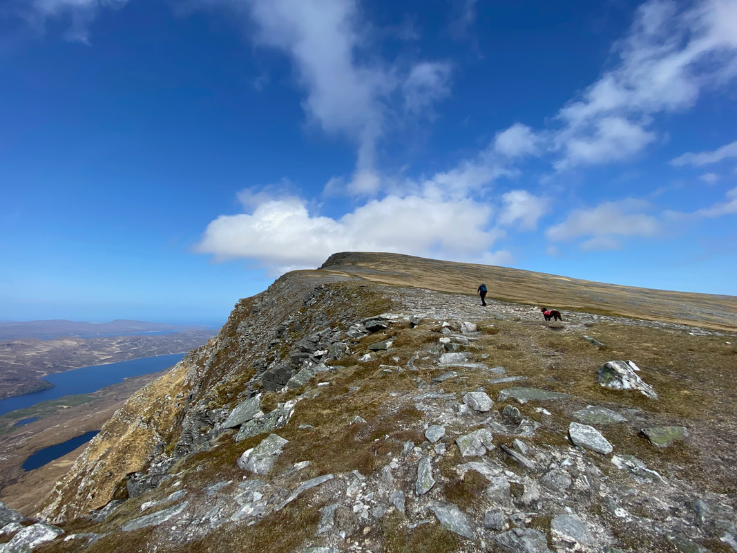
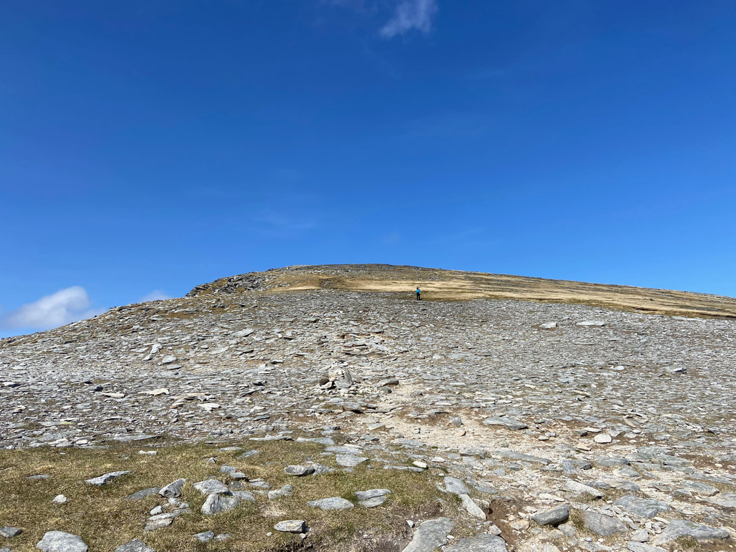
Fudge looks cautiously after me as we near the summit - it might look like the gradient is easing but this was still steep!
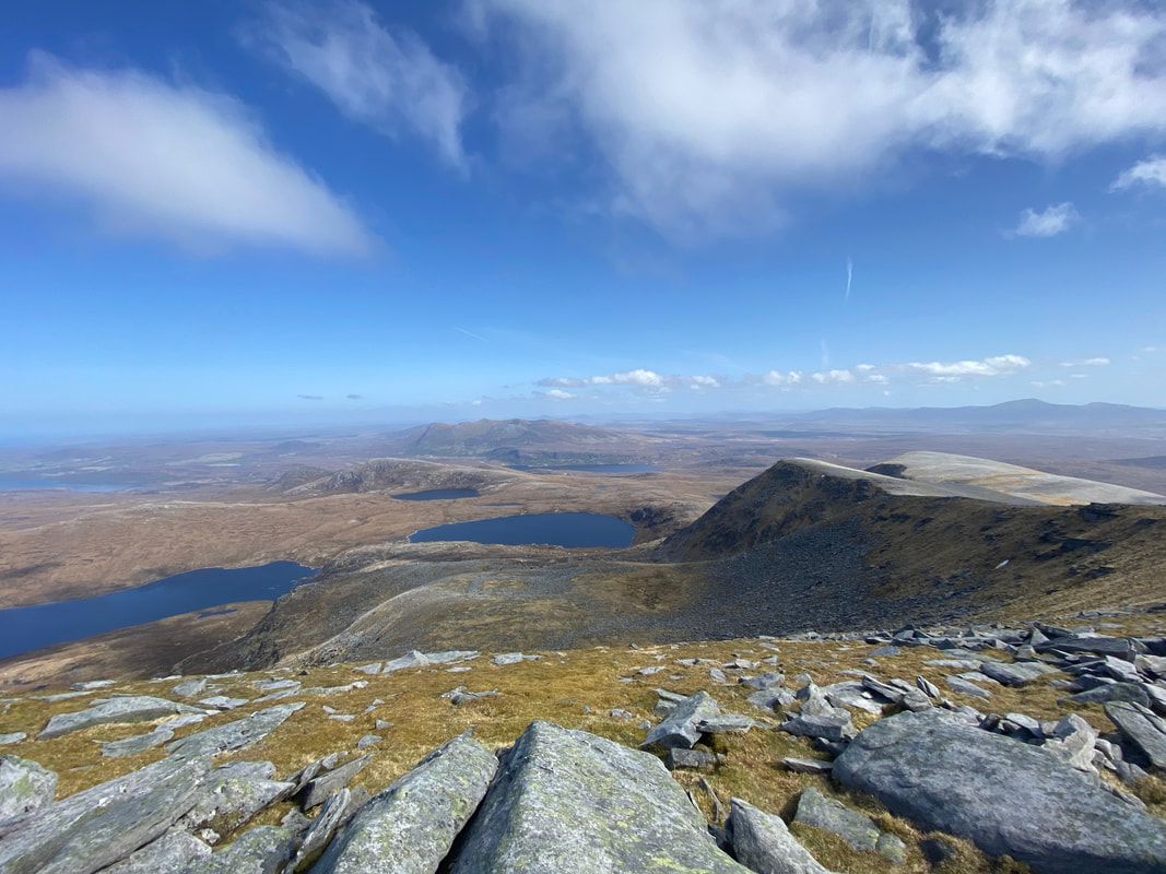
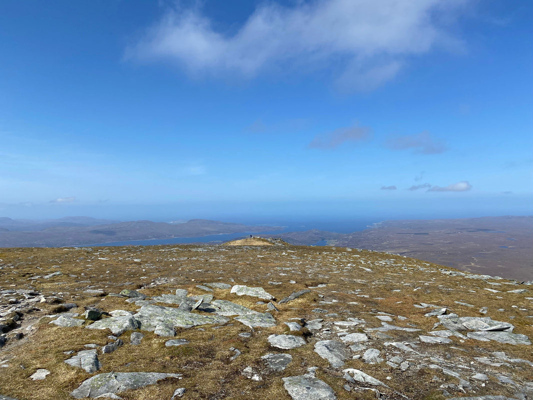
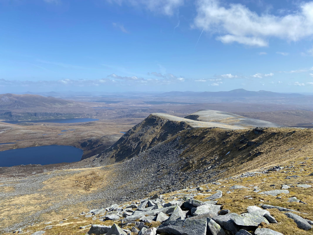
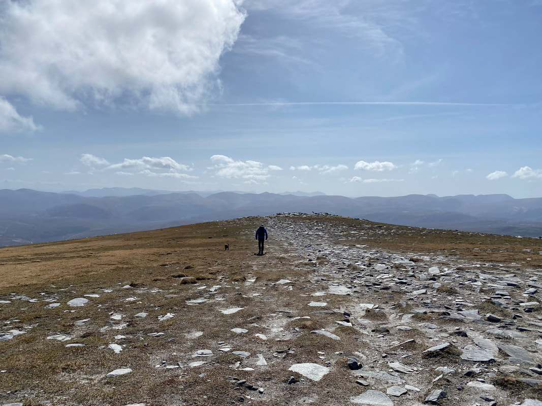
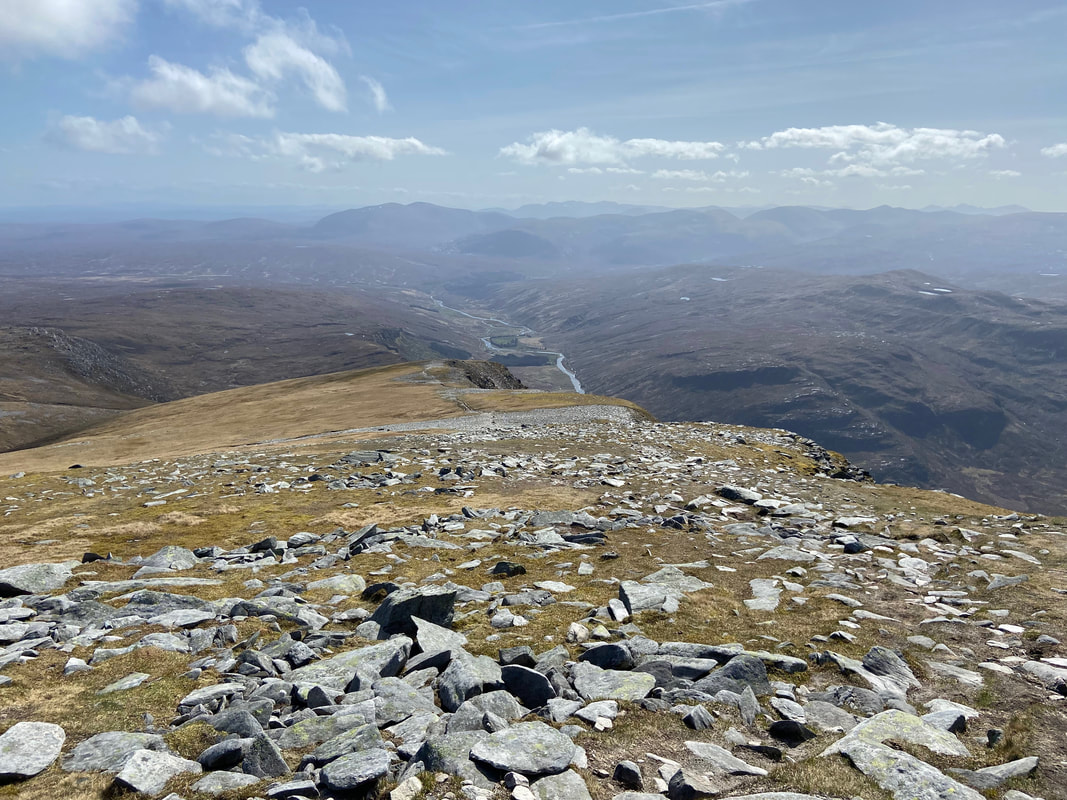
Almost there now as we look down the full length of Ben Hope's south ridge
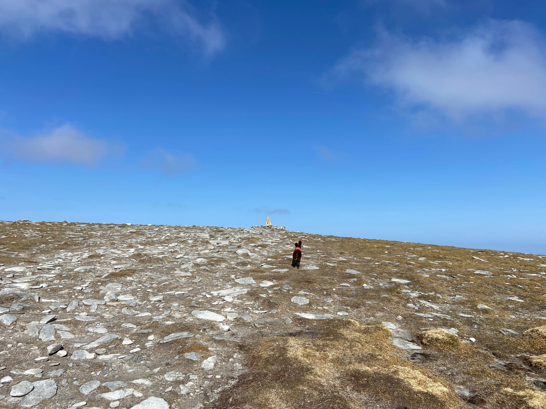
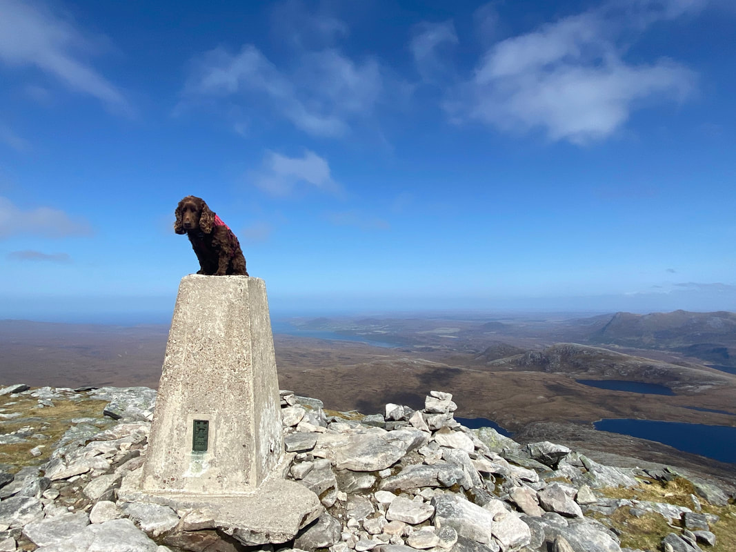
Fudge's ears go up as he spots the Trig Point on the summit of Ben Hope
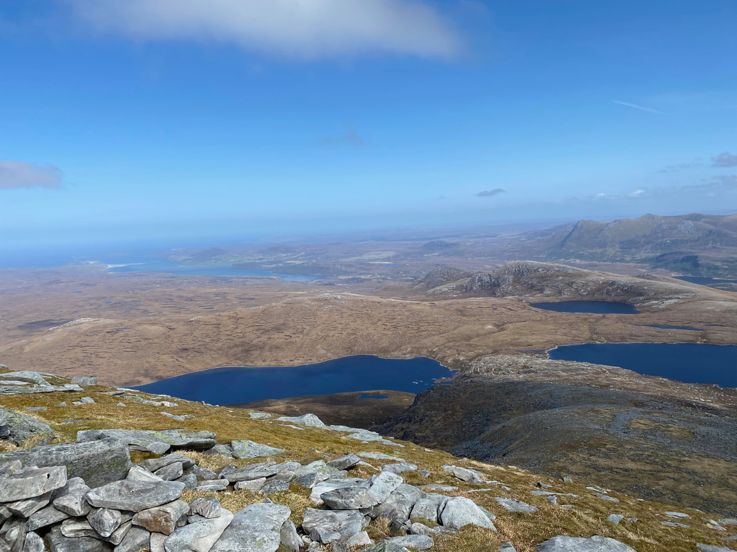
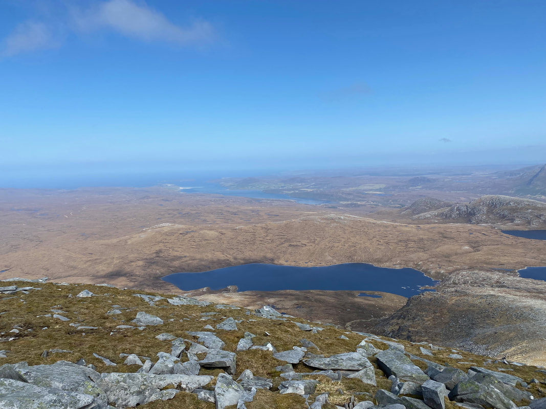
Ben Loyal in the far distance with Ben Klibreck to the right - Loch na Seilg is to the left & An Garbh-Choire in the foreground
A closer look at Loch na Seilg and Ben Loyal
The view from the summit of Ben Hope (click Play to view)
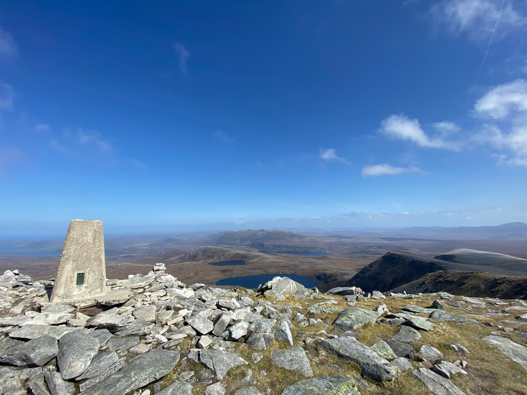
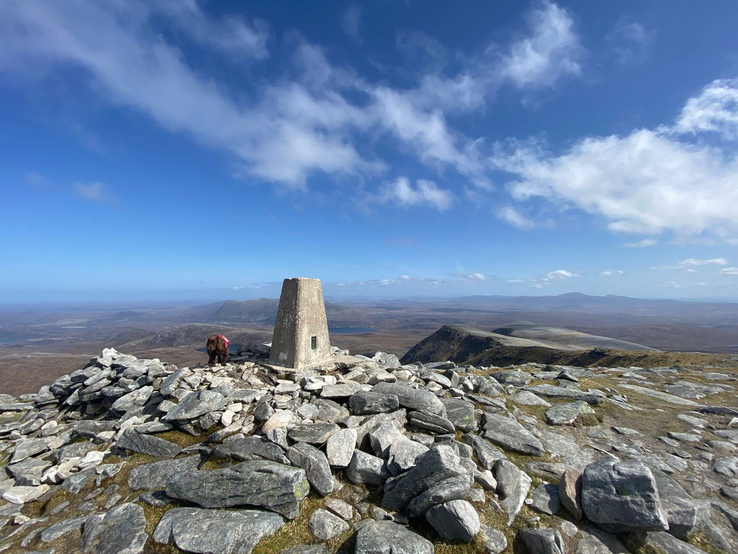
The summit of Ben Hope - the mountain is the most northerly Munro and stands 3041ft (927m)
From the summit it is worth having a wander 230 yards to the north along the ridge
The view over Loch Hope from the top of the north ridge
Looking north east to The Kyle of Tongue from the top of the north ridge
The short walk along the north ridge from Ben Hope's summit (click Play to view)
Fudge on the summit of Ben Hope
As is tradition
A closer look at An Garbh-Choire from the summit of Ben Hope
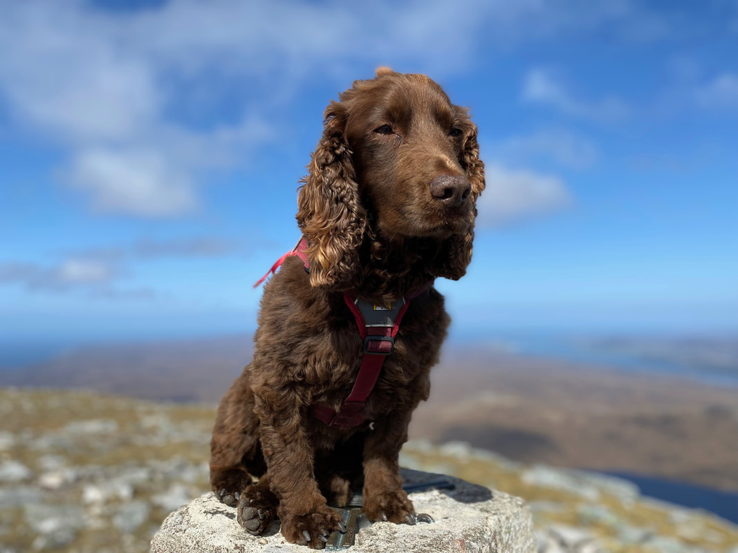
A close up of old furry face on top of Ben Hope
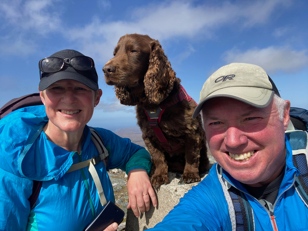
A family selfie on Ben Hope's summit
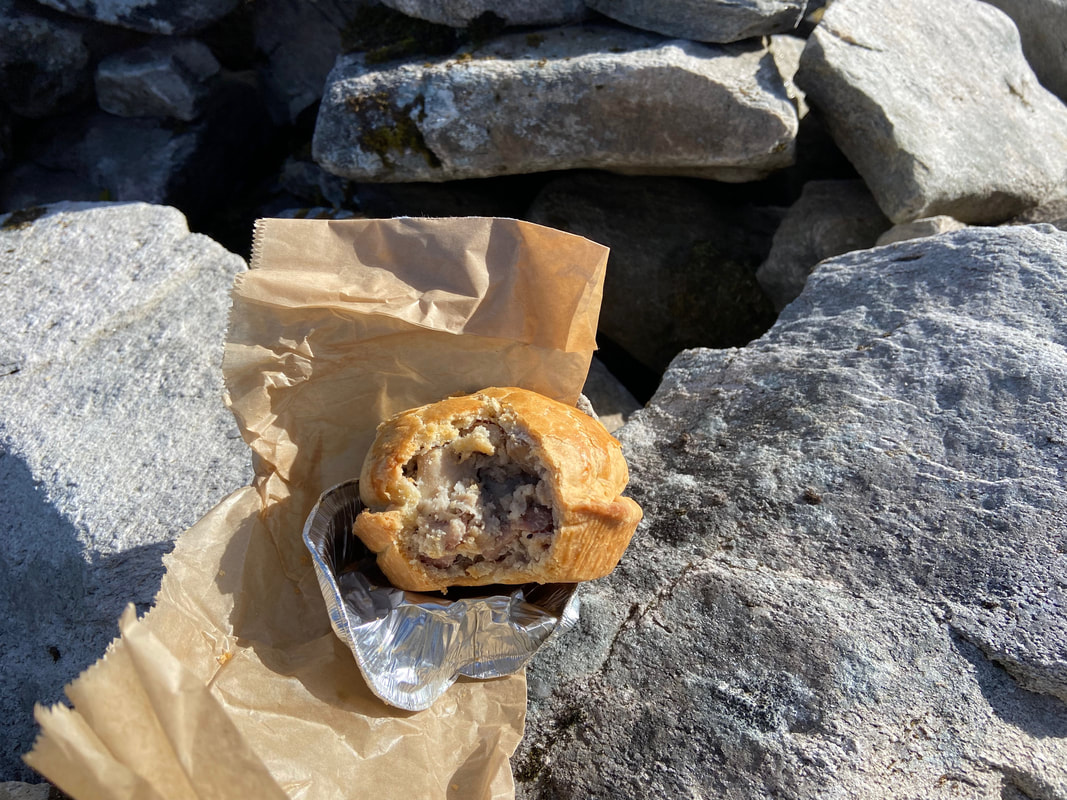
Before returning down the mountain we enjoyed one of these bad boys - a Lochinver Pie
Tearing ourselves away we started our descent back to Muiseal
Returning the same way meant we did not have to keep turning around to see this view
Looking back to Angie making her descent from Ben Hope
What a fantastic walk this was - well worth the time & effort to get here
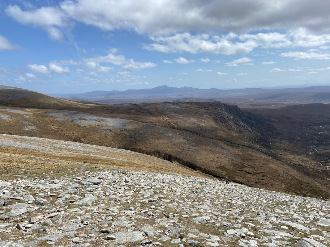
Continuing our descent - we would turn to the right just forward of where the walker is ahead
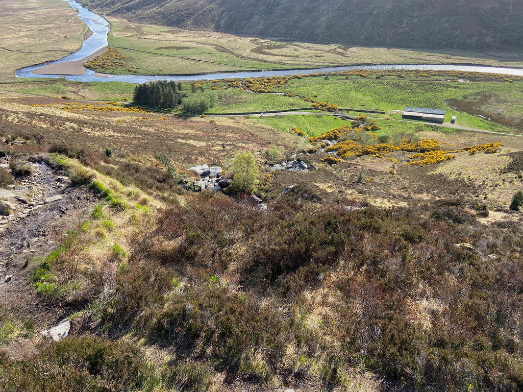
Almost back at Muiseal as we handrail the Allt a'Mhuiseil once more
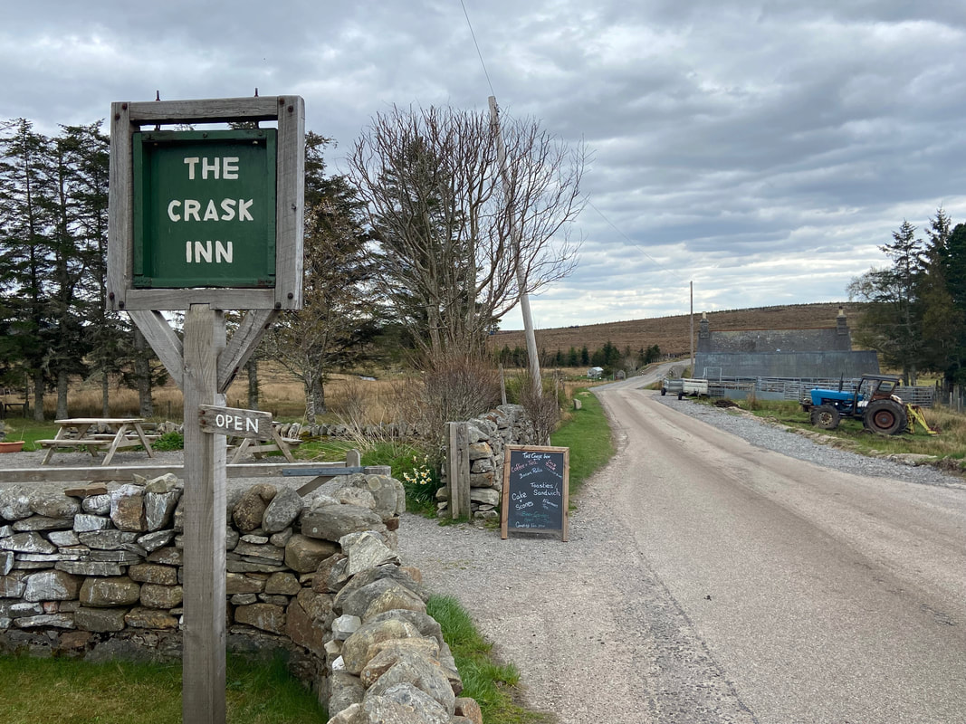
The Crask Inn - approximately 20 miles from Muiseal and a really lovely place to stay. A link to their website is here
