Hallin Fell - Tuesday 7 May 2013
Route
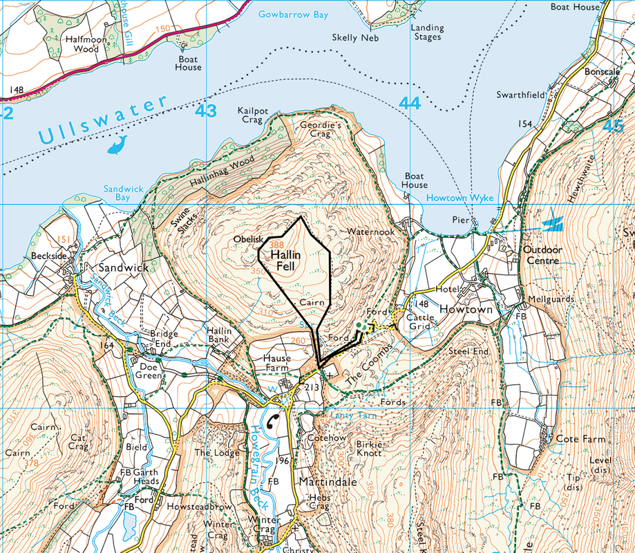
Howtown - Hallin Fell - Howtown
Parking
South West of Howtown (Free) - Grid Ref NY438194
Mileage
1.8 miles
Terrain
Straight up and down on a good path
Weather
Sunny with very little wind
Time Taken
1hr 15mins
Total Ascent
862ft (263m)
Wainwrights
1
Map
OL5 - The English Lakes - North Eastern Area
Howtown - Hallin Fell - Howtown
Parking
South West of Howtown (Free) - Grid Ref NY438194
Mileage
1.8 miles
Terrain
Straight up and down on a good path
Weather
Sunny with very little wind
Time Taken
1hr 15mins
Total Ascent
862ft (263m)
Wainwrights
1
Map
OL5 - The English Lakes - North Eastern Area
|
GPX File
|
| ||
If the above GPX file fails to download or presents itself as an XML file once downloaded then please feel free to contact me and I will send you the GPX file via e-mail.
Walk Description
We had already been up two Outlying Fells this morning and after a fine lunch in The Sun Inn at Pooley Bridge we drove down the other side of Ullswater to Howtown to walk up Hallin Fell. Whilst only a short walk, the summit does give superb views over Ullswater.
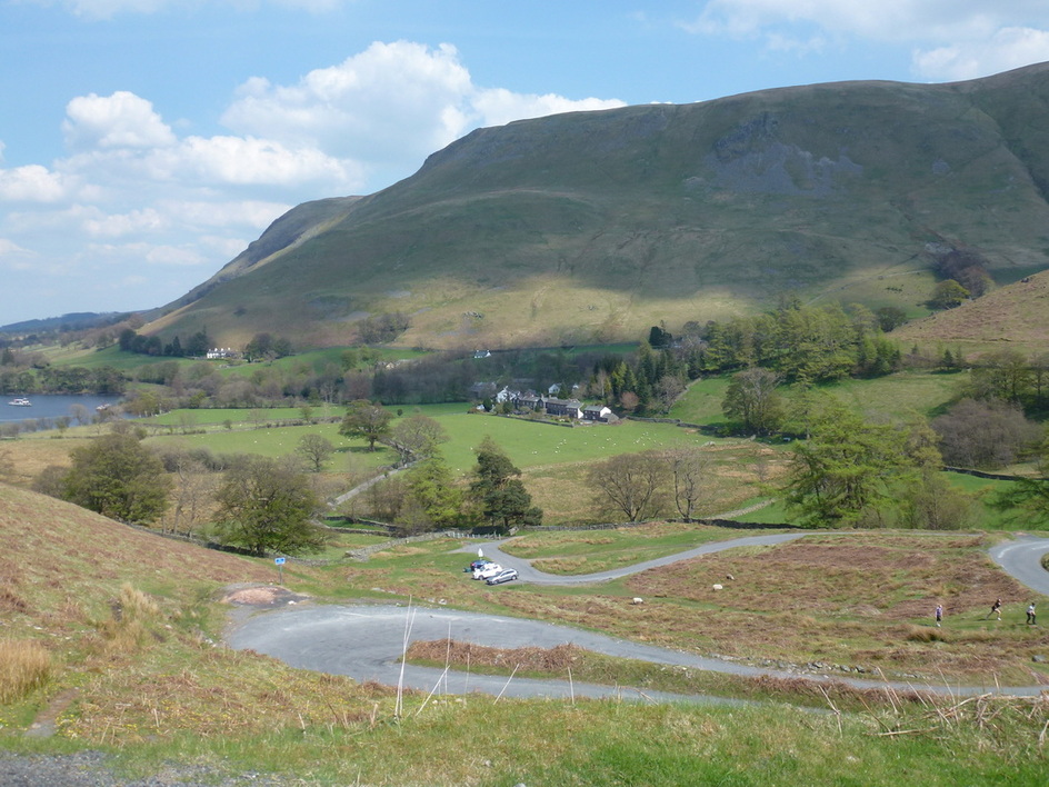
We parked on the side of the road a short distance south east of the village, although there were spaces available at the Church just up the road. This is a quick up and down and we really took our time but still managed to get there and back in just over an hour.
We parked on the side of the road a short distance south east of the village, although there were spaces available at the Church just up the road. This is a quick up and down and we really took our time but still managed to get there and back in just over an hour.
Arthur's Pike and Bonscale Pike from the ascent of Hallin Fell
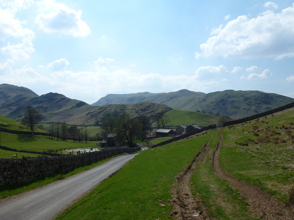
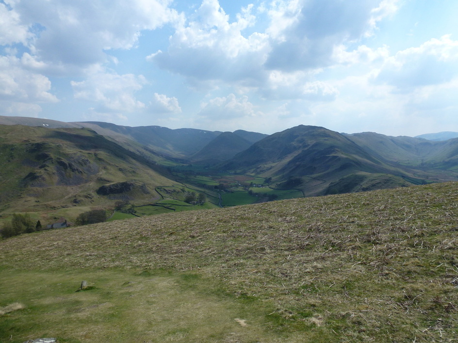
Beda Fell with Place Fell to the right
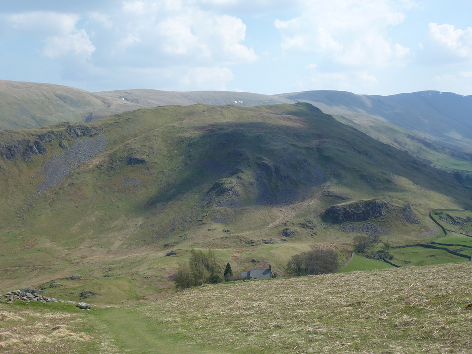
Beda Fell
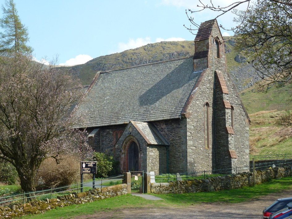
St Peter's Church, Martindale
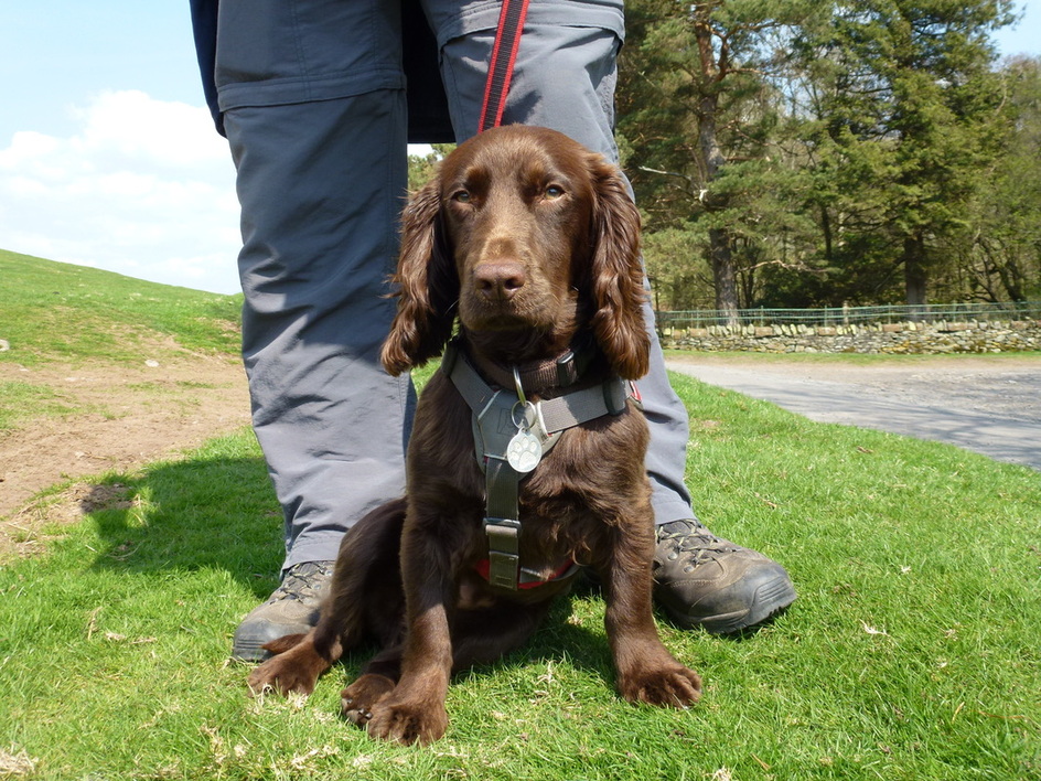
Come on then - lets 'ave it!
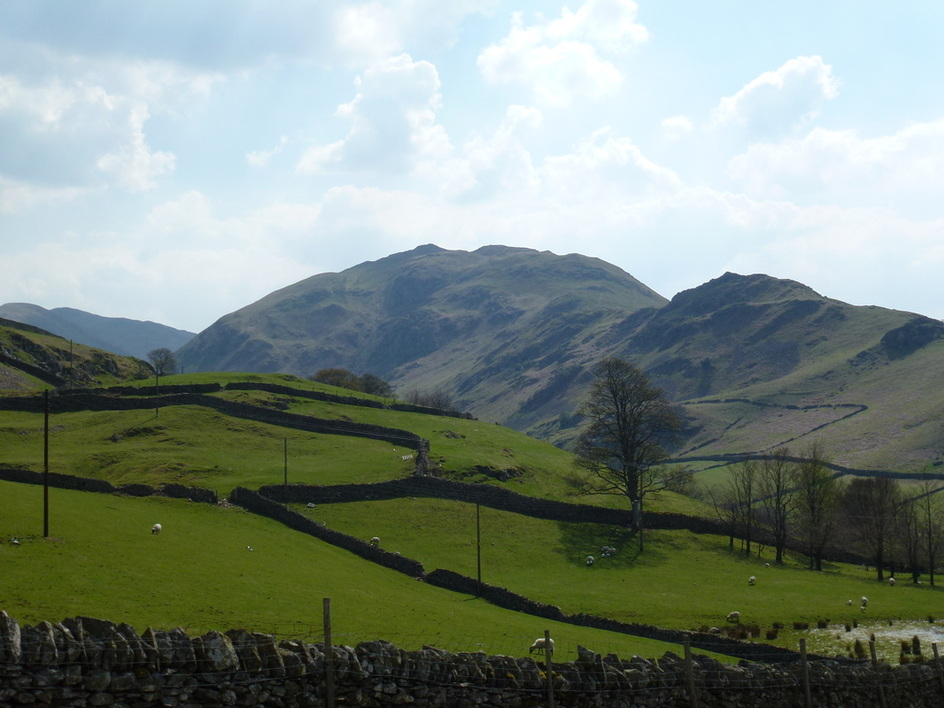
Steel Knotts, The Nab and Beda Fell
Steel Knotts
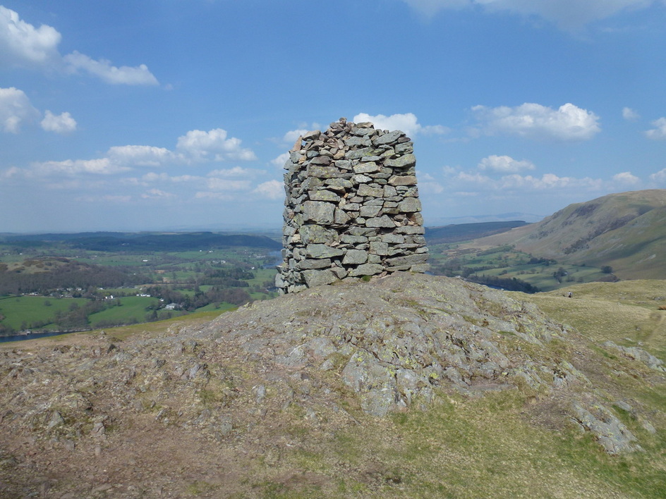
The impressive Cairn on the Summit of Hallin Fell
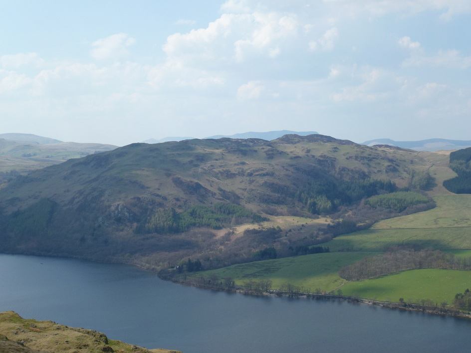
Gowbarrow Fell across Ullswater
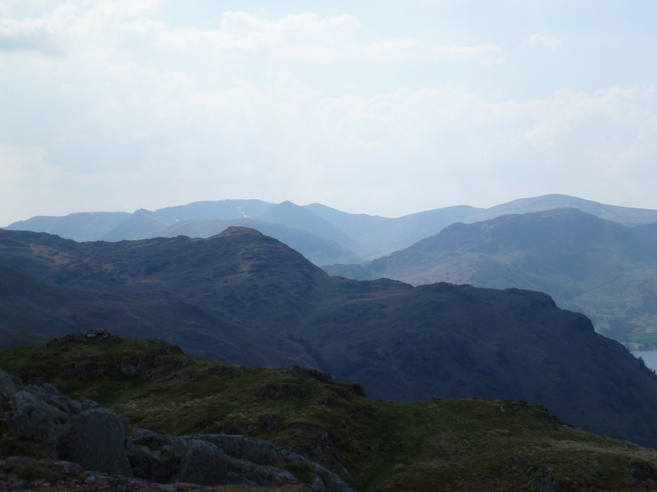
The Helvellyn Range with the pointed tip of Catstycam in the centre
