Ullswater Way Day 1 - Sunday 20 March 2022
Route
Patterdale - Rooking - Boredale Hause - Angletarn Pikes (North Top) - Angletarn Pikes (South Top) - Angle Tarn - Buck Crag - Satura Crag - The Knott - Rampsgill Head - High Raise - Low Raise - Raven Howe - Red Crag - Wether Hill - Loadpot Hill - Swarth Fell - Bonscale Pike - Arthur's Pike - The Cockpit - Roehead - Pooley Bridge
Parking
Patterdale where it is £5 all day (2022) at the King George V Sports Field Car Park (opposite Patterdale Hall) - Grid Ref NY390160 (Nearest Postcode is CA11 0PX). We asked permission to leave our car there overnight via the Sports Field's Facebook Page and paid £10 for 2 days.
Mileage
16 miles
Terrain
Good mountain paths for the most part. The terrain from Low Raise to rejoin the route south of Raven Howe is pathless but the going is over good ground.
Weather
Sunny with occasional stiff breezes. The visibility was excellent.
Time Taken
8hrs 10mins
Total Ascent
3116ft (950m)
Wainwrights
8
Map
OL5 - The English Lakes - North Eastern Area
Walkers
Dave, Angie & Fudge
|
GPX File
|
| ||
If the above GPX file fails to download or presents itself as an XML file once downloaded then please feel free to contact me and I will send you the GPX file via e-mail.
Route Map
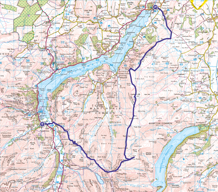
The Car Park at the King George V Sports Field in Patterdale which is situated up the lane opposite Patterdale Mountain Rescue Team's Headquarters
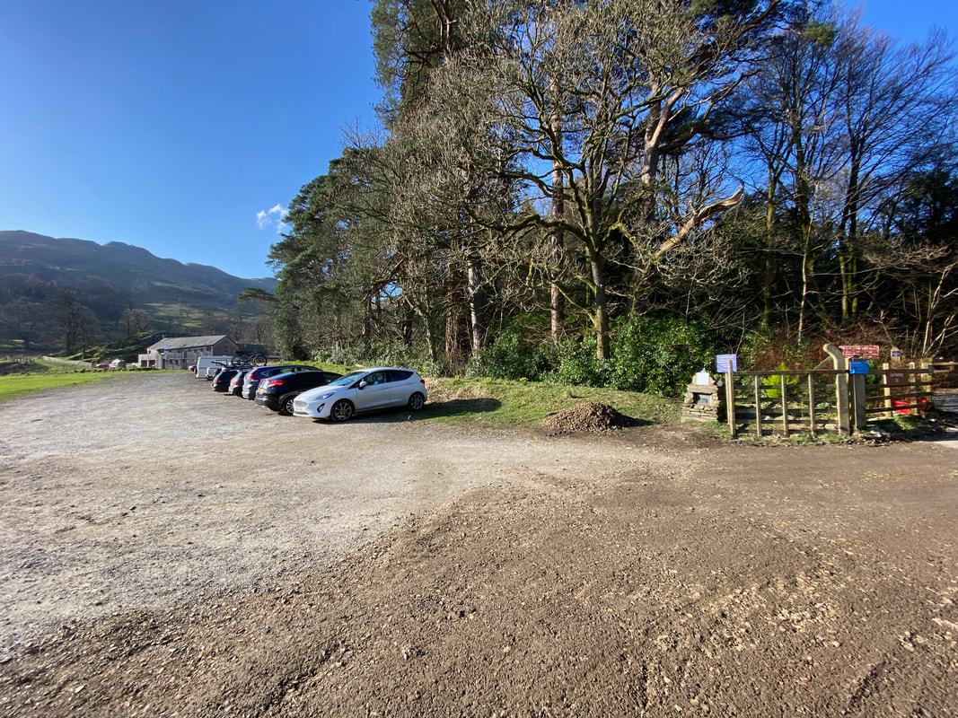
An almost cloudless sky looking over to Place Fell
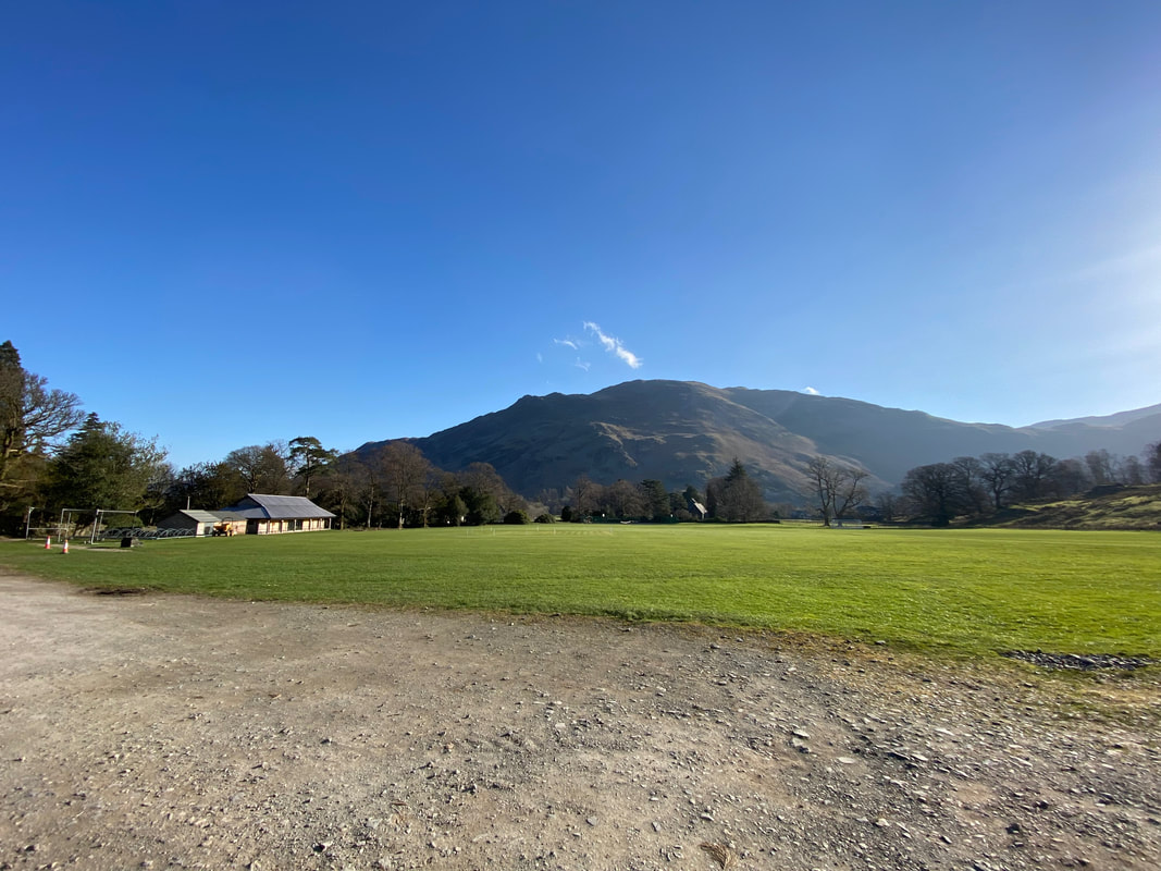
Grisedale Bridge with Grisedale Beck below making its way to Ullswater
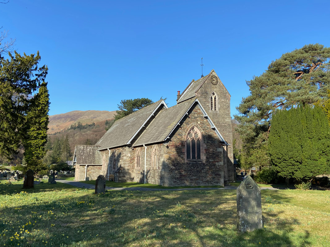
St Patrick's Church in Patterdale which dates from 1853
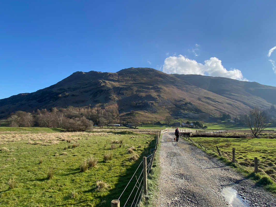
From Patterdale we joined the farm track to Side Farm with Place Fell towering above
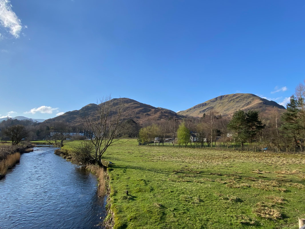
Crossing the bridge over Goldrill Beck looking to Arnison Crag & Birks
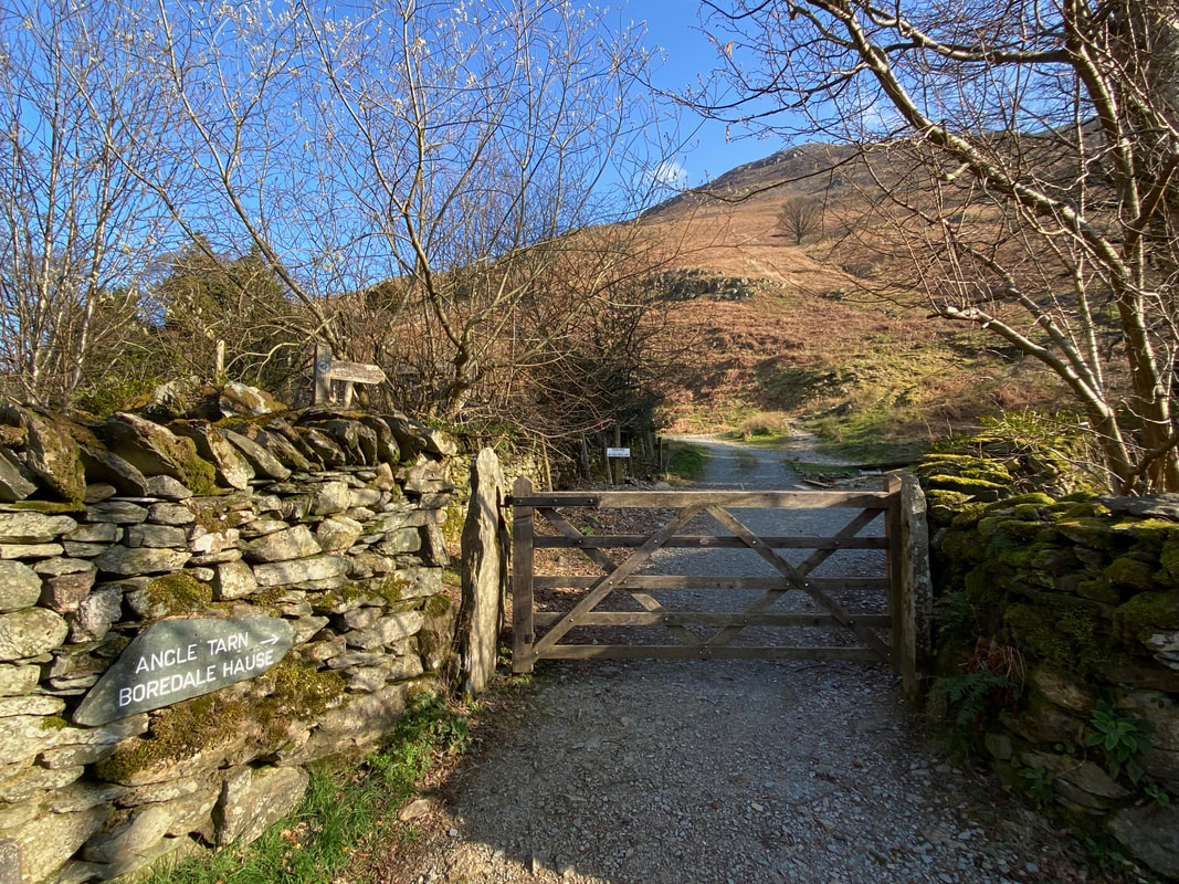
From Side Farm we joined The Ullswater Way then after about 300 yards left the traditional route to follow the path to Boredale Hause
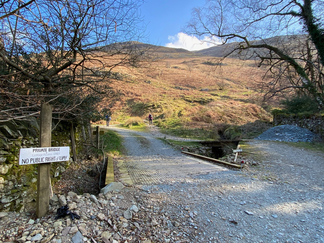
Got to be the smallest diversion I have ever seen - all 10 or so yards of it! The path to Boredale Hause heads off to the right.

The path to Boredale Hause splits a few yards below this Victorian seat. This delightful resting spot is dated 1897 and commemorates Queen Victoria's Diamond Jubilee. It makes little difference whether the lower or higher path is taken as they converge just before Boredale Hause is reached.
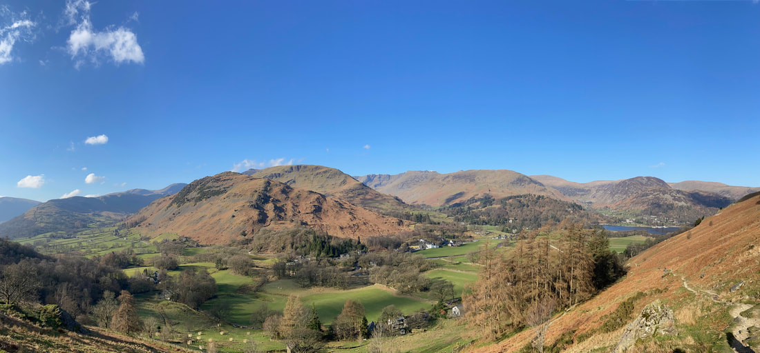
The transit to Boredale Hause is one we have done many times and on a clear day like we had today provides outstanding views over to the Helvellyn Range
Patterdale, Glenridding & Ullswater from the path to Boredale Hause
Fairfield, St Sunday Crag, Birks, Helvellyn, Catstycam, Birkhouse Moor & White Side from just below Boredale Hause
The grassy col of Boredale Hause - and what a view
Boredale Hause is a confusing place even in good visibility. There are many paths heading in all directions and selecting the right path can be problematic for walkers who have not been here before. We would be following the popular Coast to Coast path today which crosses the beck centre right and then heads below Angletarn Pikes and on to Angle Tarn.
The huge bulk of Place Fell dominates the view back with Beda Fell to the right
Looking to the Fairfield & Helvellyn Ranges
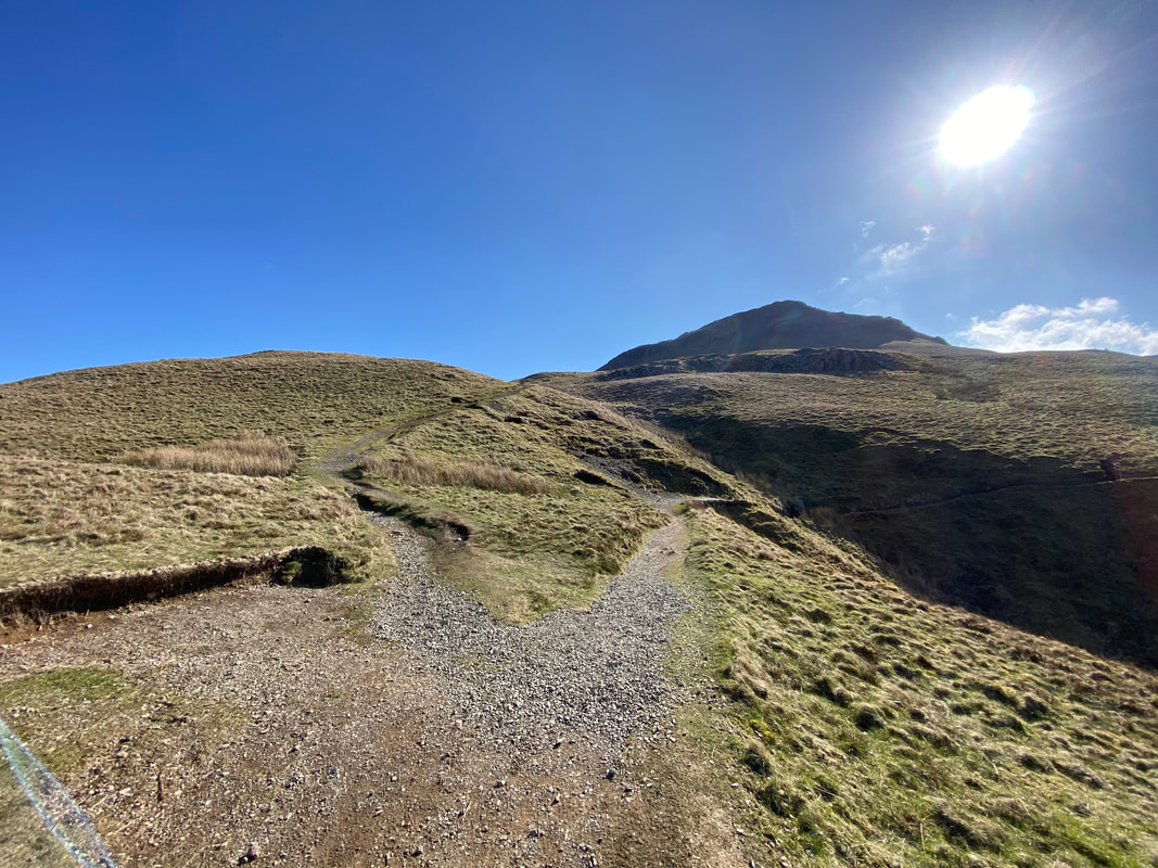
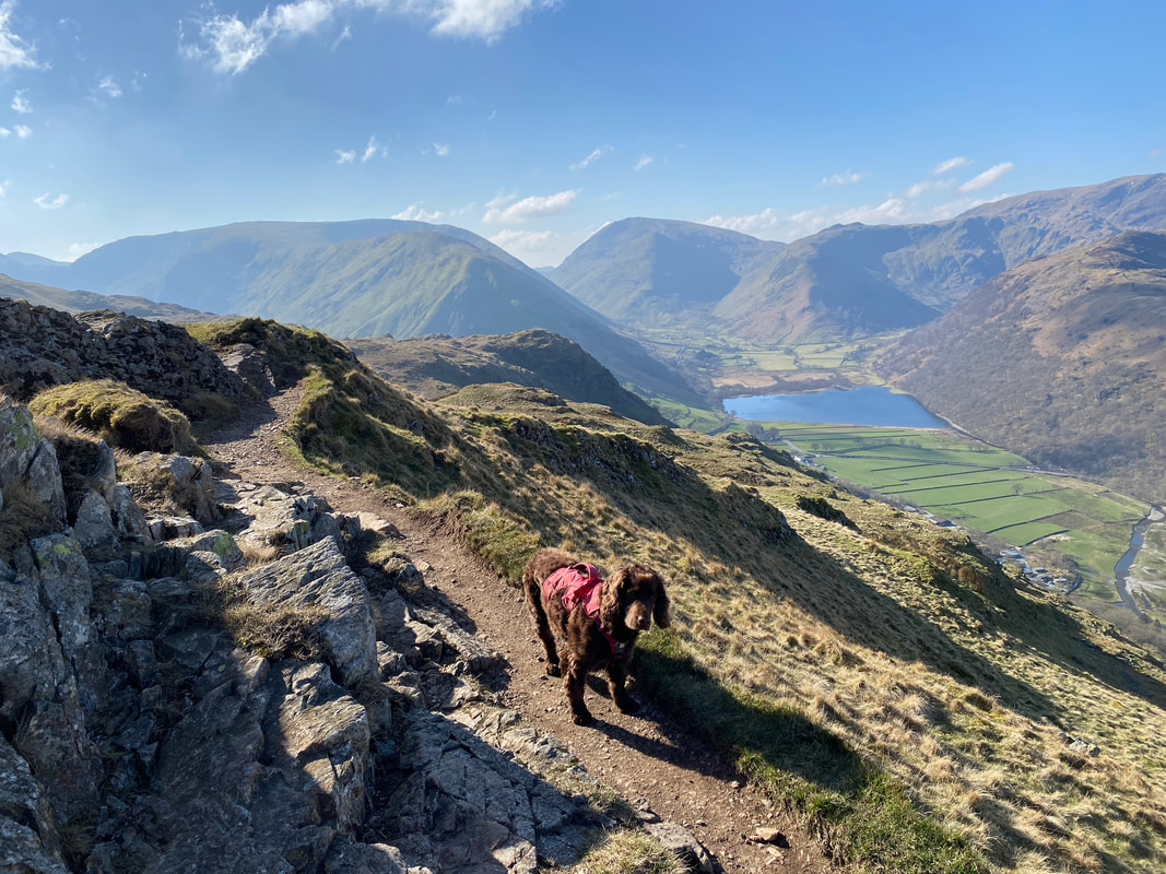
The path splits just below Angletarn Pikes which can be seen ahead. I wanted to take the route up to the summit of Angletarn Pikes as it provides a superb view of Angle Tarn therefore I headed left whilst Angie & Fudge headed to the right - I would meet them later at Angle Tarn.
Angie & Fudge heading off with Hartsop Dodd & Caudale Moor to the left and Red Screes to the right - Brothers Water sits below
Angletarn Pikes can be accessed by a couple of routes and today I chose to transit below the fell although there is a path around to the left. The route switches back on itself to the left a 100 or so yards from where I can be seen now.
The approach path to the summit of Angletarn Pikes
Meanwhile Angie & Fudge continue to Angle Tarn via the Coast to Coast route.
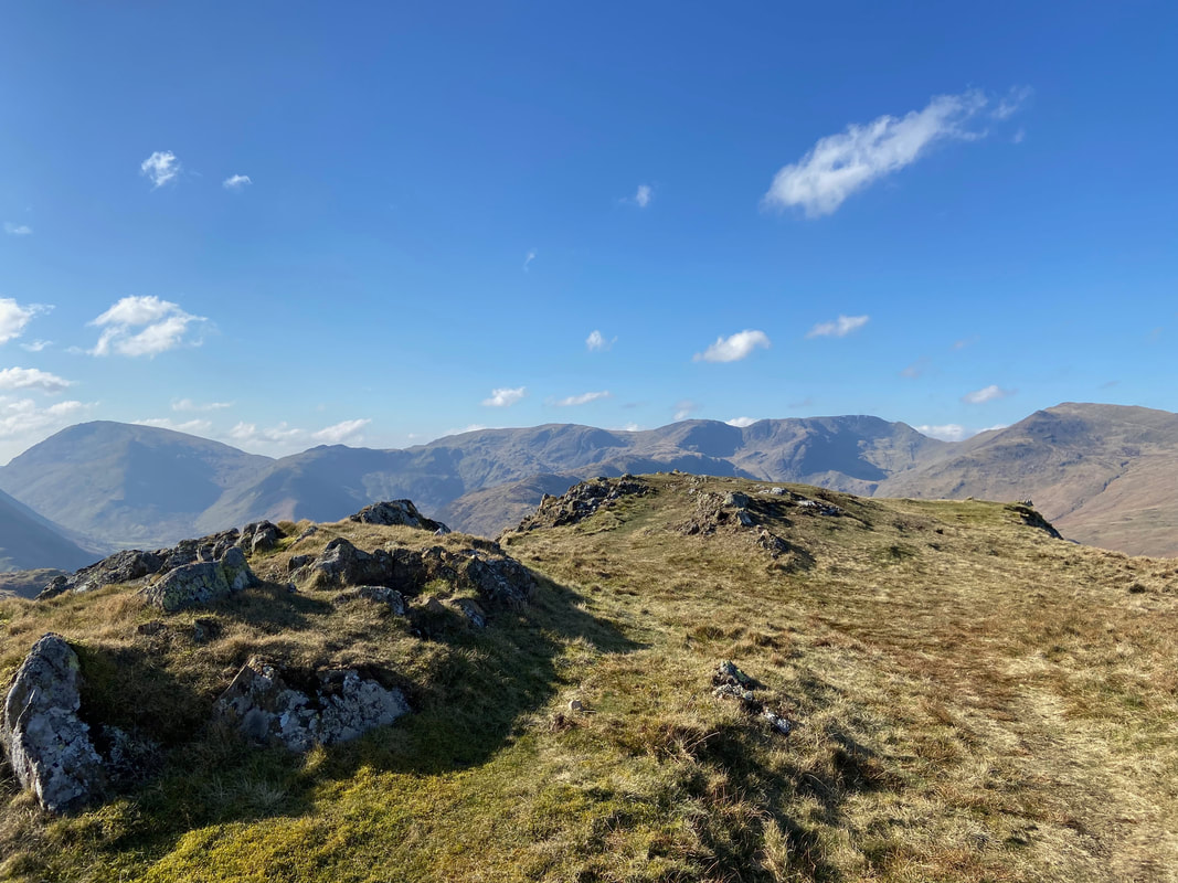
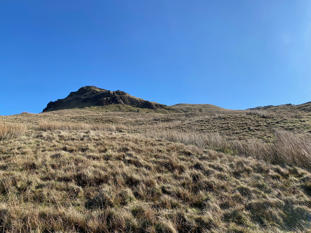
The summit of Angletarn Pikes. The fell has two tops which are separated by a grassy depression. The north top is the higher of the two by six feet and is therefore considered the true summit of the fell.
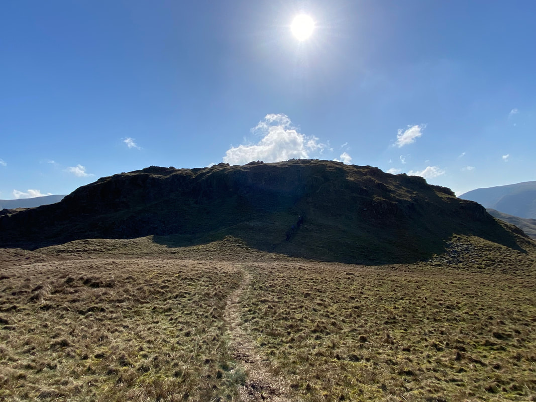
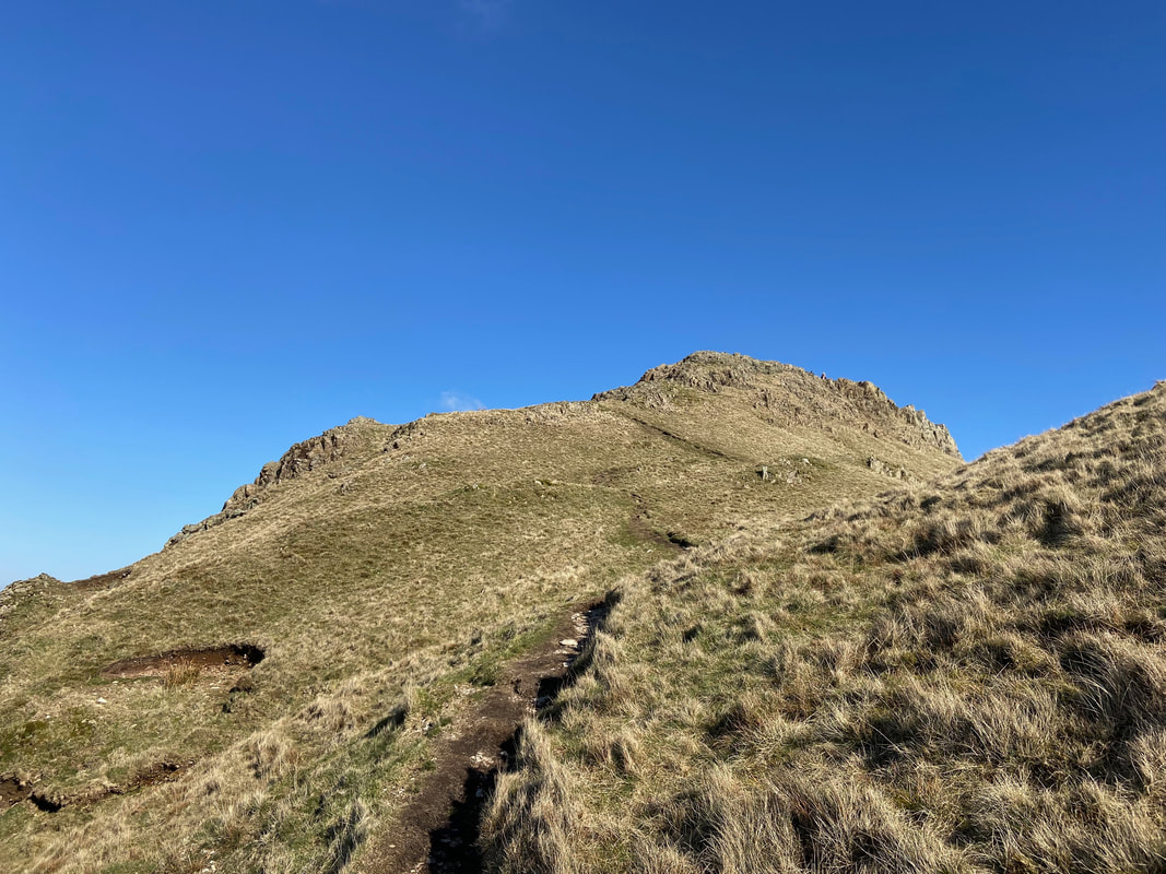
Having made the descent from the North Top of Angletarn Pikes it was now time to cross the grassy depression and climb up to the South Top. The ascent is made via a short scramble just right of centre.
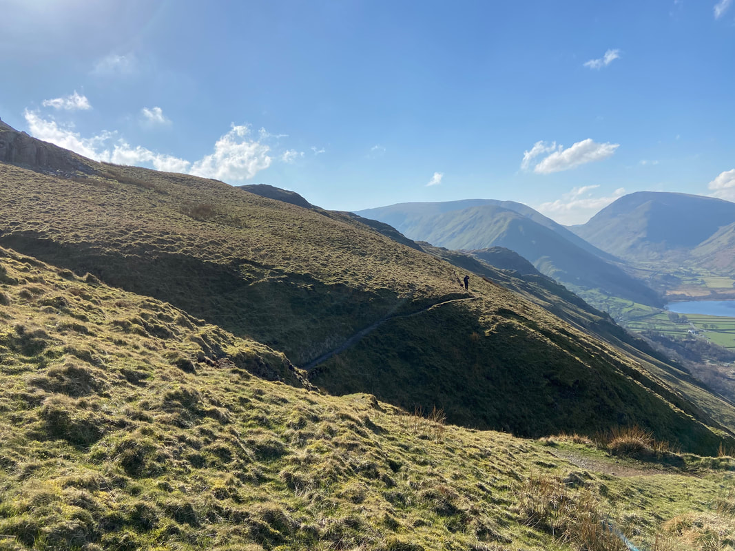
Whilst I was up on the summit of Angletarn Pikes, Fudge and Angie had almost reached Angle Tarn. Rest Dodd is over to the left, High Street centre distant and Brock Crags to the right.
The summit of Angletarn Pikes South Top looking north to Beda Fell
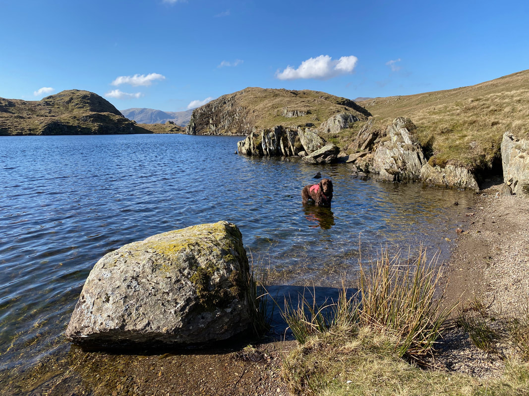
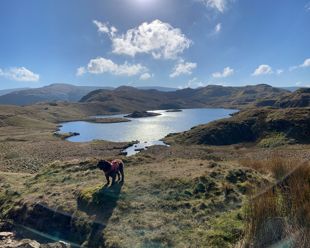
There was only one place for Fudge today - he does love water, especially Angle Tarn
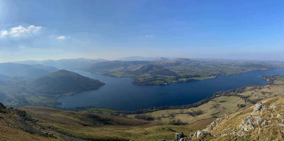
Angle Tarn from the path to Buck Crag with Angletarn Pikes to the right
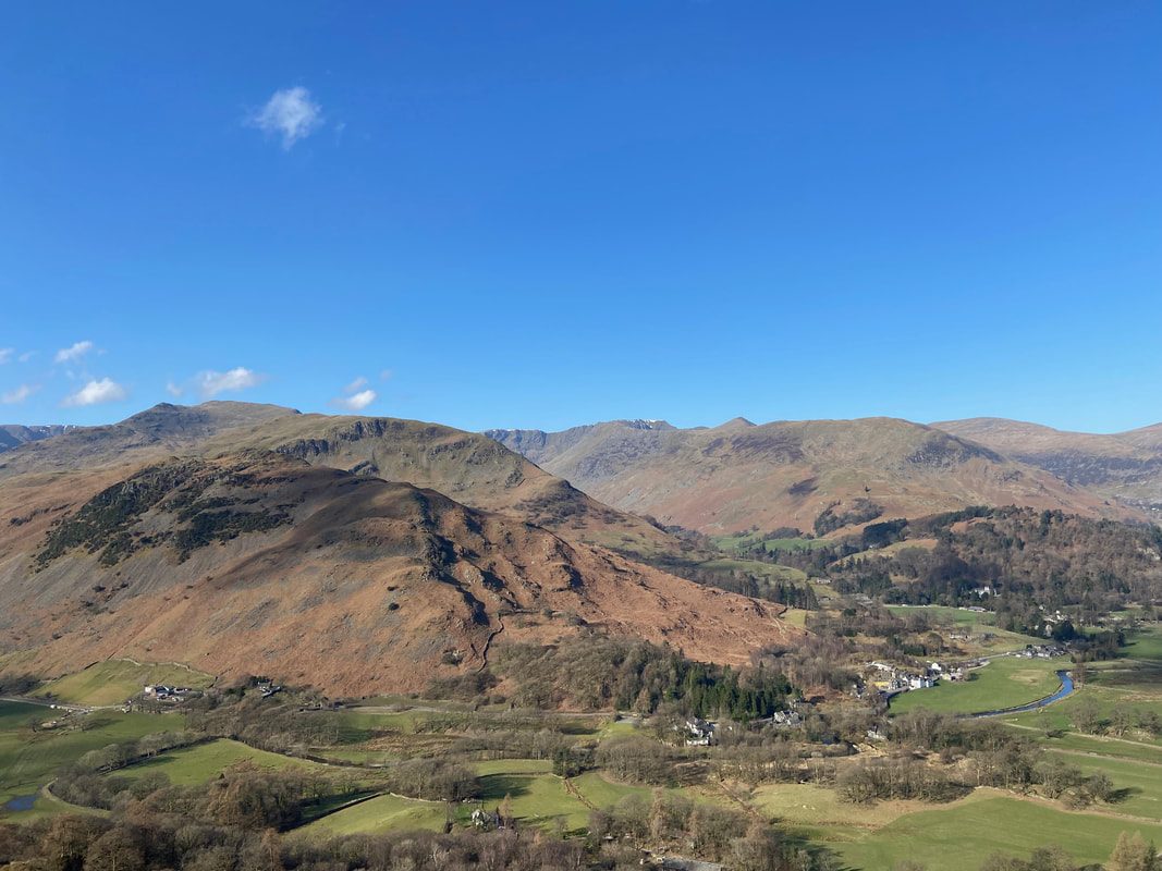
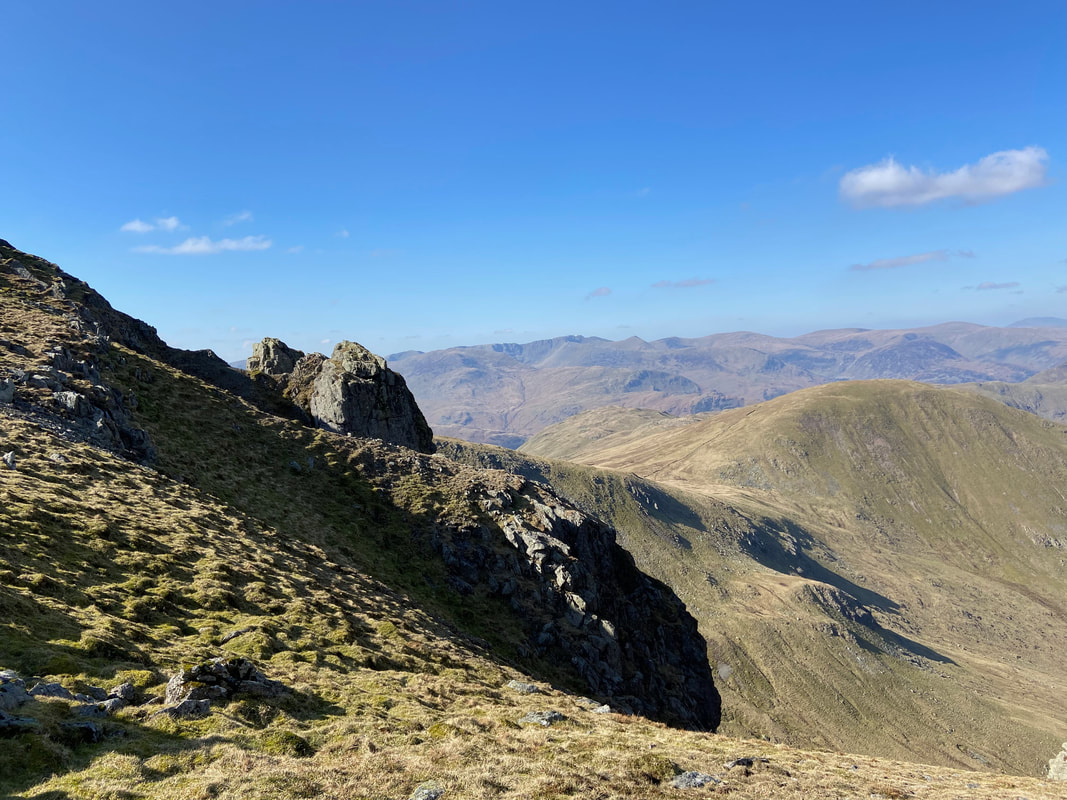
Looking into the valley of Bannerdale from Buck Crag - this view point is just off the main path and is certainly worth the diversion
Rest Dodd across the head of Bannerdale
Brock Crags from Buck Crag with the Fairfield range distant
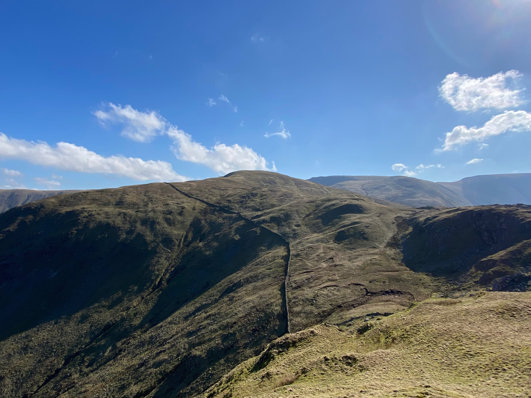
The route passes through an old gateway to then handrail the wall to its right, particularly in poor visibility. It is very easy to veer away from the wall and end up ascending Rest Dodd.
The single embedded stone that marks the summit of Satura Crag
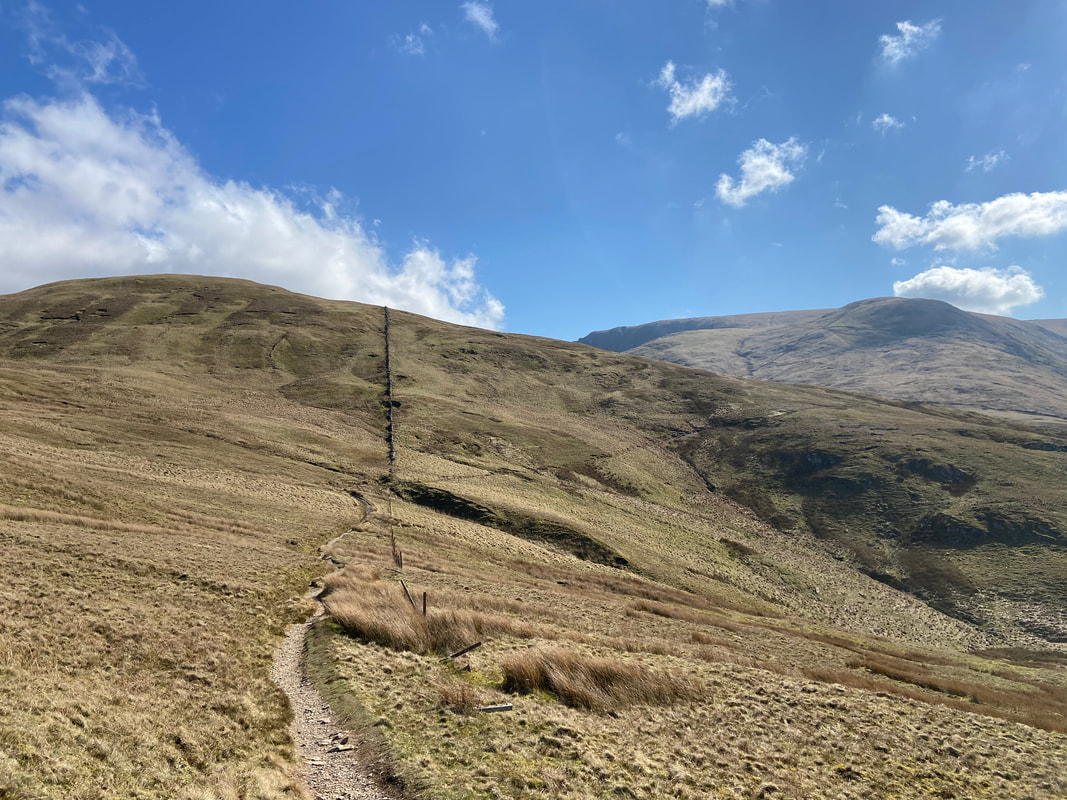
Leaving Satura Crag the wall becomes a fence line. In the col below we would turn right to head to The Knott which is to the right of shot. To bag Rest Dodd simply follow the wall and then turn left up the ridge to reach the summit.
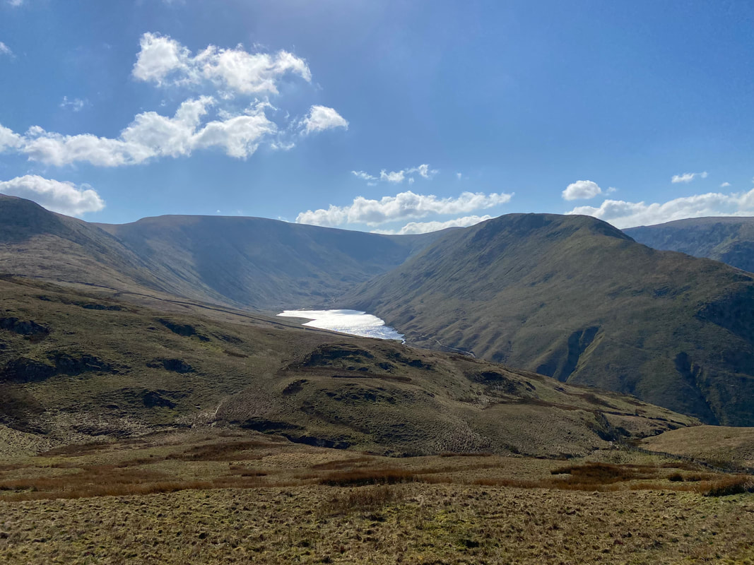
High Street to the left with Gray Crag to the right - the body of water below is Hayeswater
Looking back to Brock Crags from the ascent of The Knott
Rest Dodd from the path to The Knott
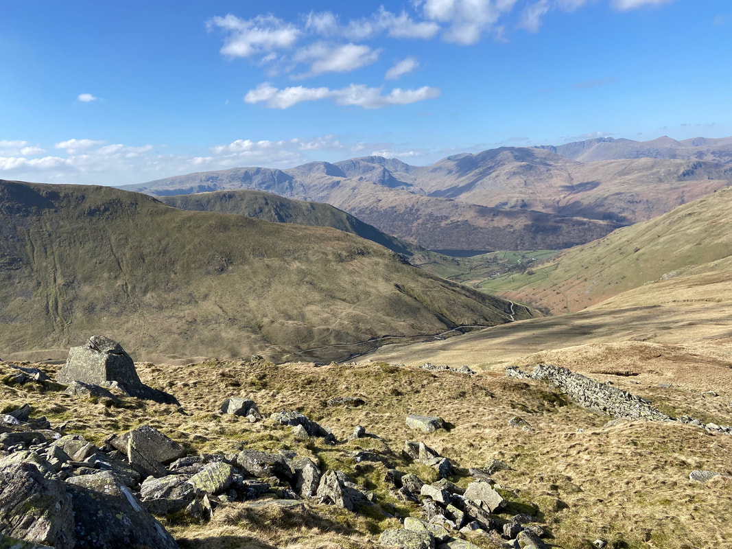
As ever it is important to look back otherwise you would miss views like this. Gray Crag is in the foreground with the path from Hartsop to Hayeswater below.
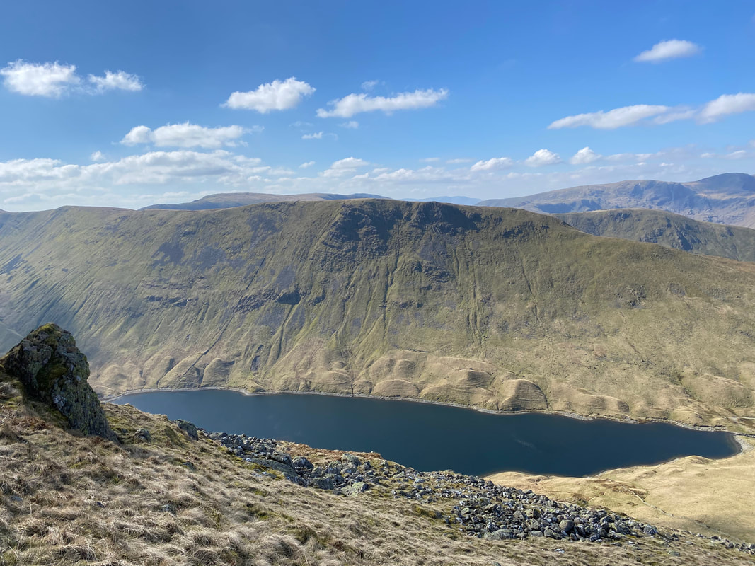
Gray Crag with Hayeswater sitting below
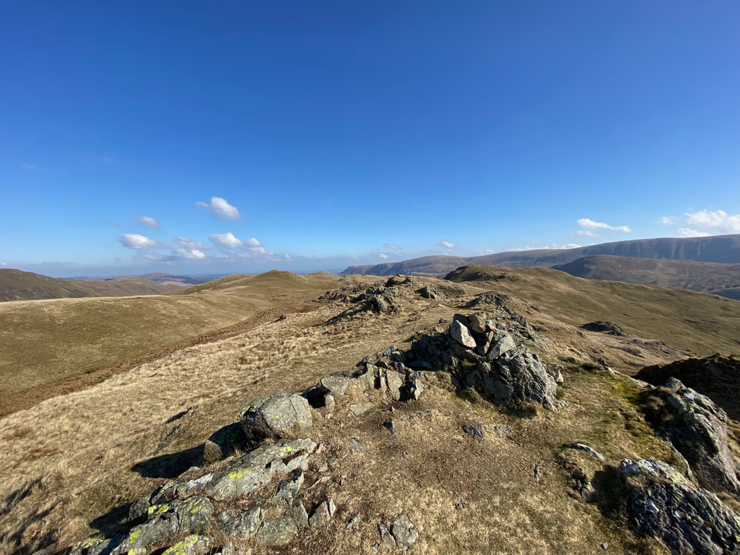
Approaching the summit of The Knott
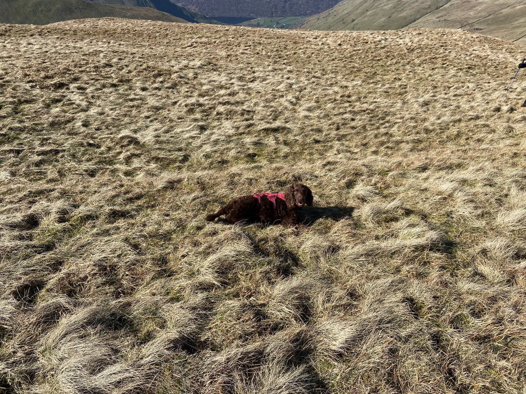
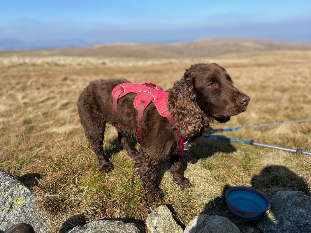
The family nutcase lying down on the job
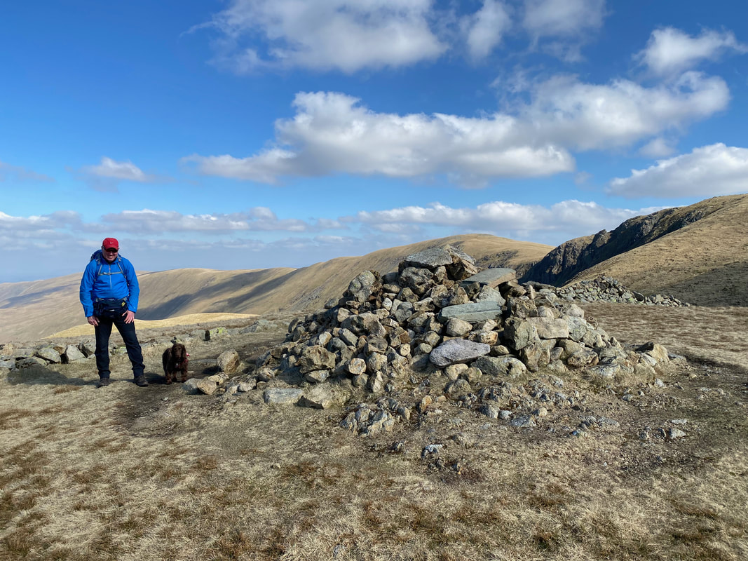
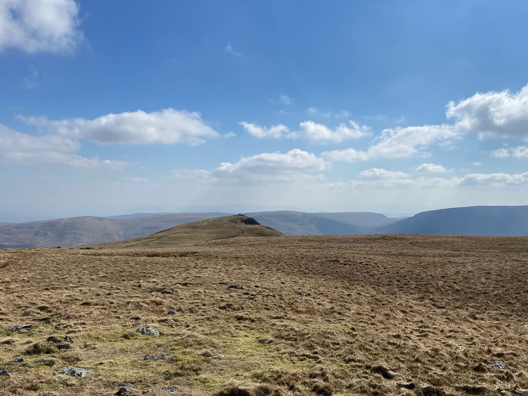
The summit of The Knott with High Raise over the top of the cairn
Looking back to The Knott as we head to Rampsgill Head
Heading for Rampsgill Head
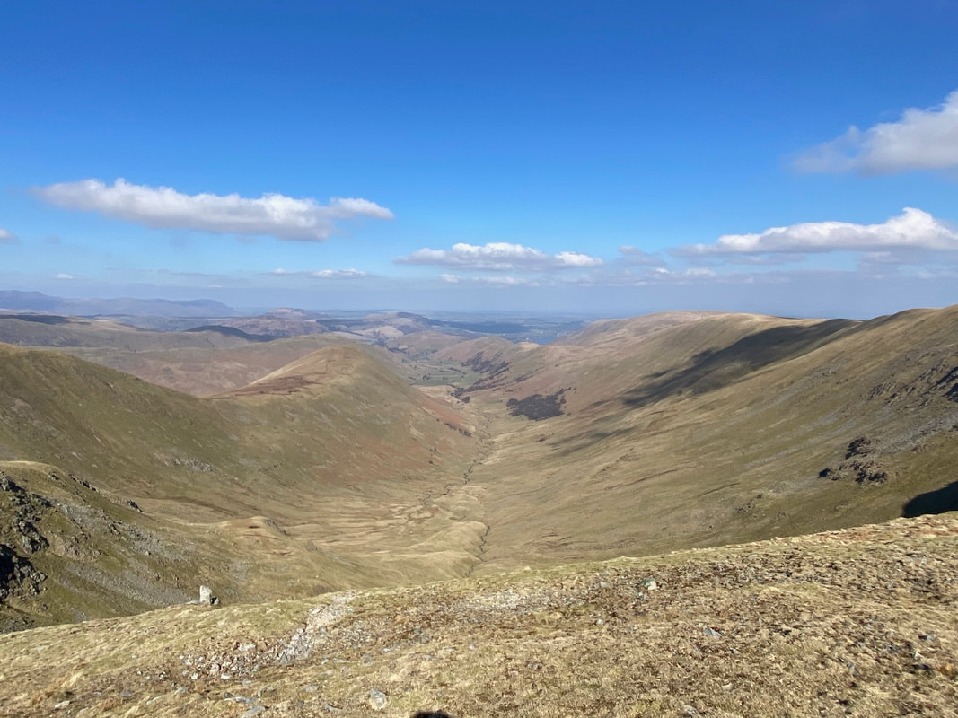
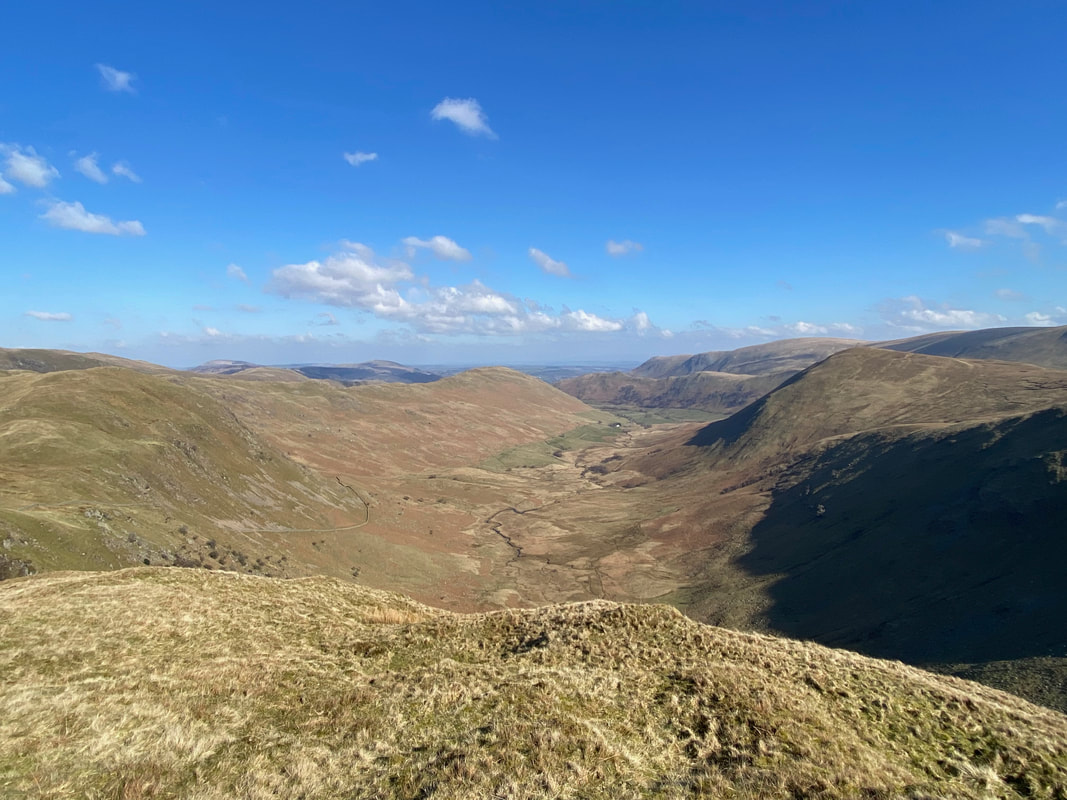
The valley of Ramps Gill
Kidsty Pike from the approach to Rampsgill Head - whilst only a short walk over, we gave Kidsty a miss today
The summit of Rampsgill Head looking to High Raise
Rest Dodd from below Rampsgill Head
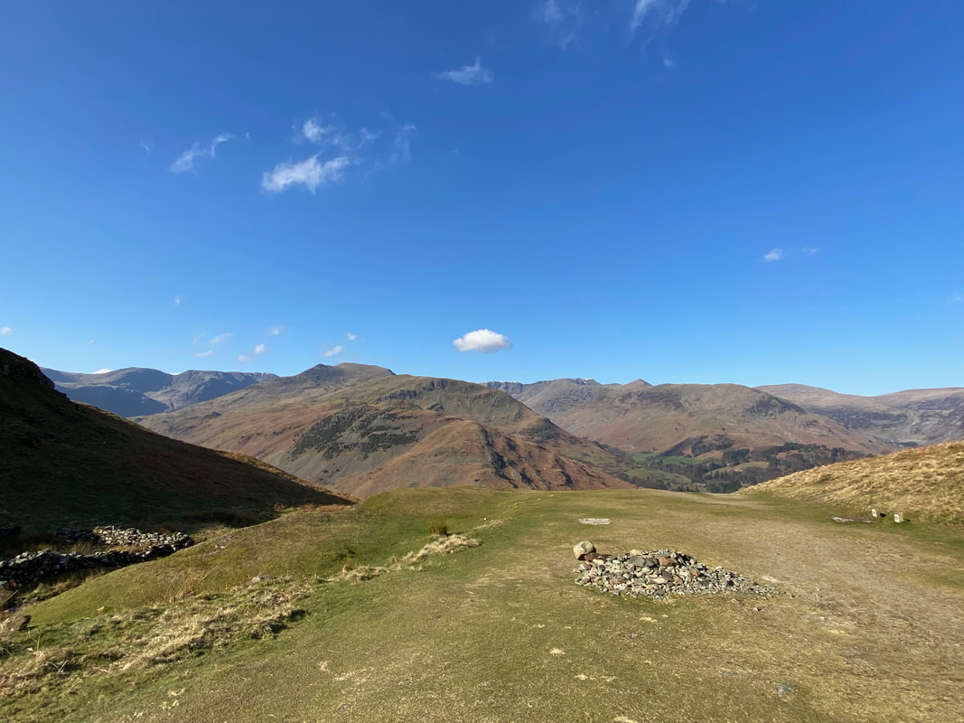
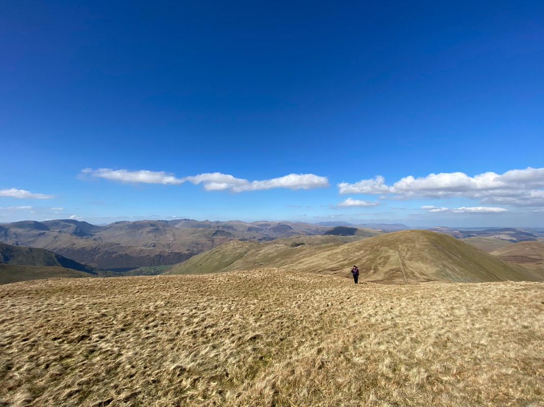
The summit of High Raise
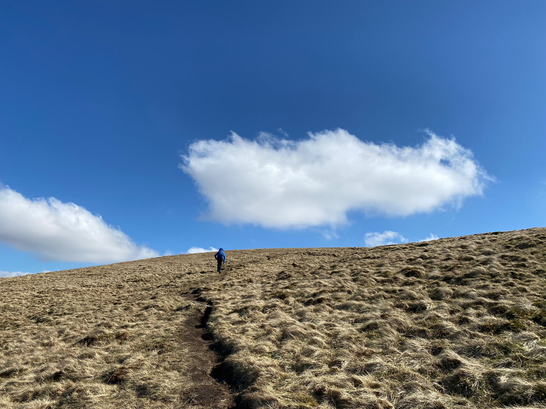
From High Raise we decided to detour off route to visit the summit of Low Raise which is ahead
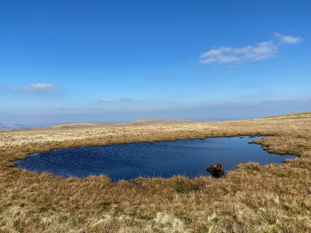
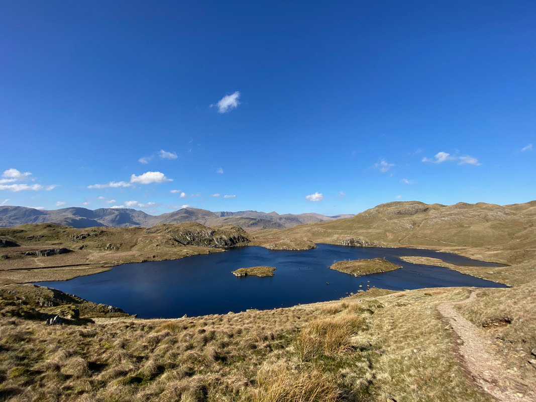
On the way to Low Raise was a nice tarn for Fudge to arse about in
And here he is arsing about in it (click Play to view)
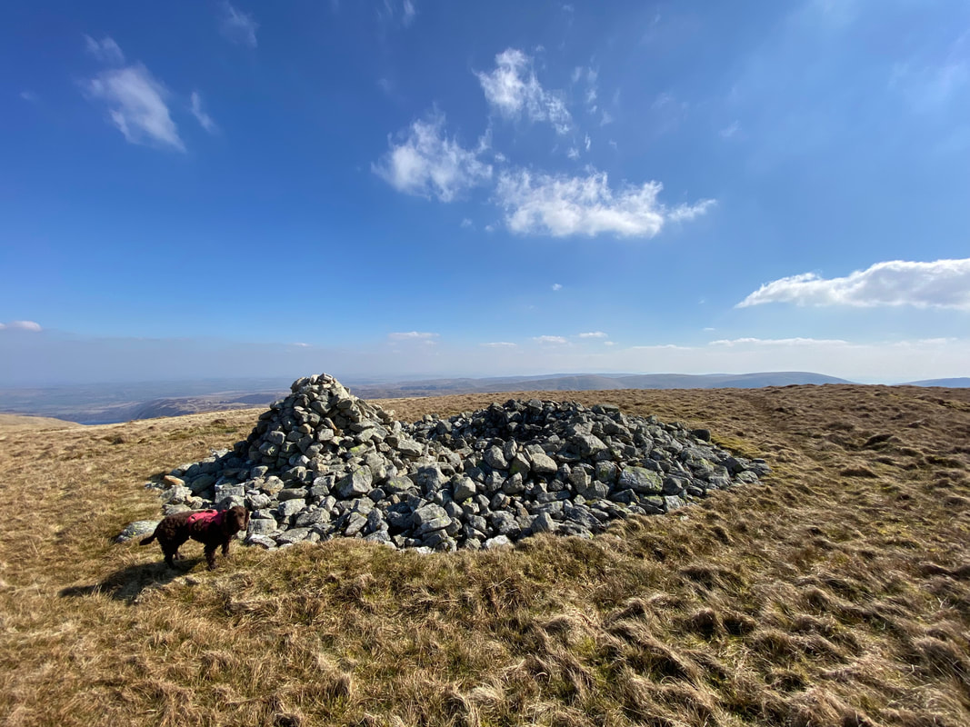
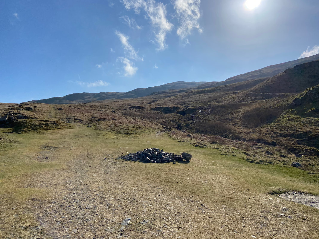
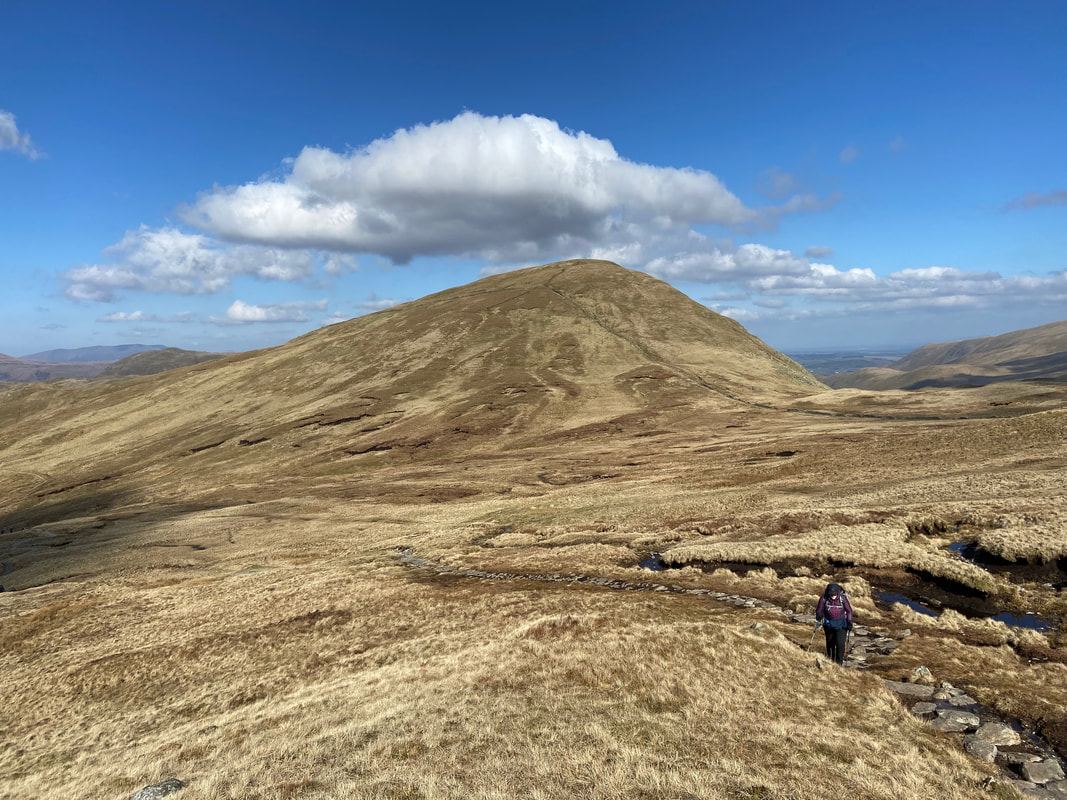
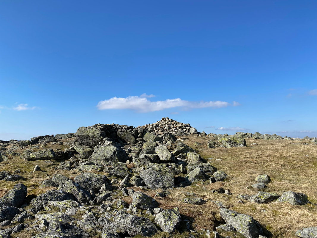
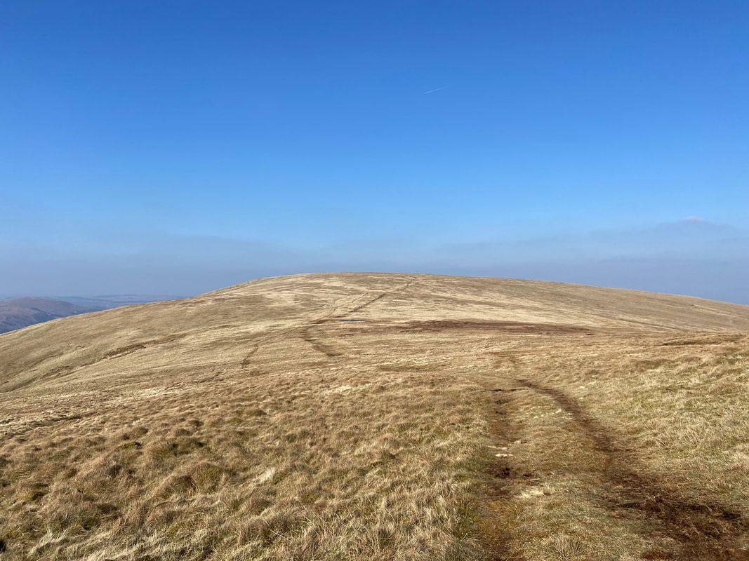
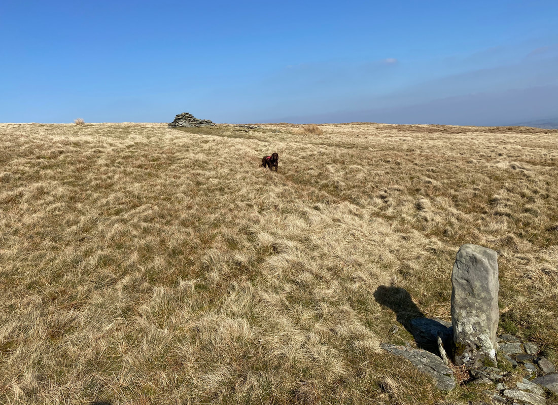
The summit of Low Raise
We stopped at Low Raise for a bit of lunch and as usual Fudge scoffed his down in record time
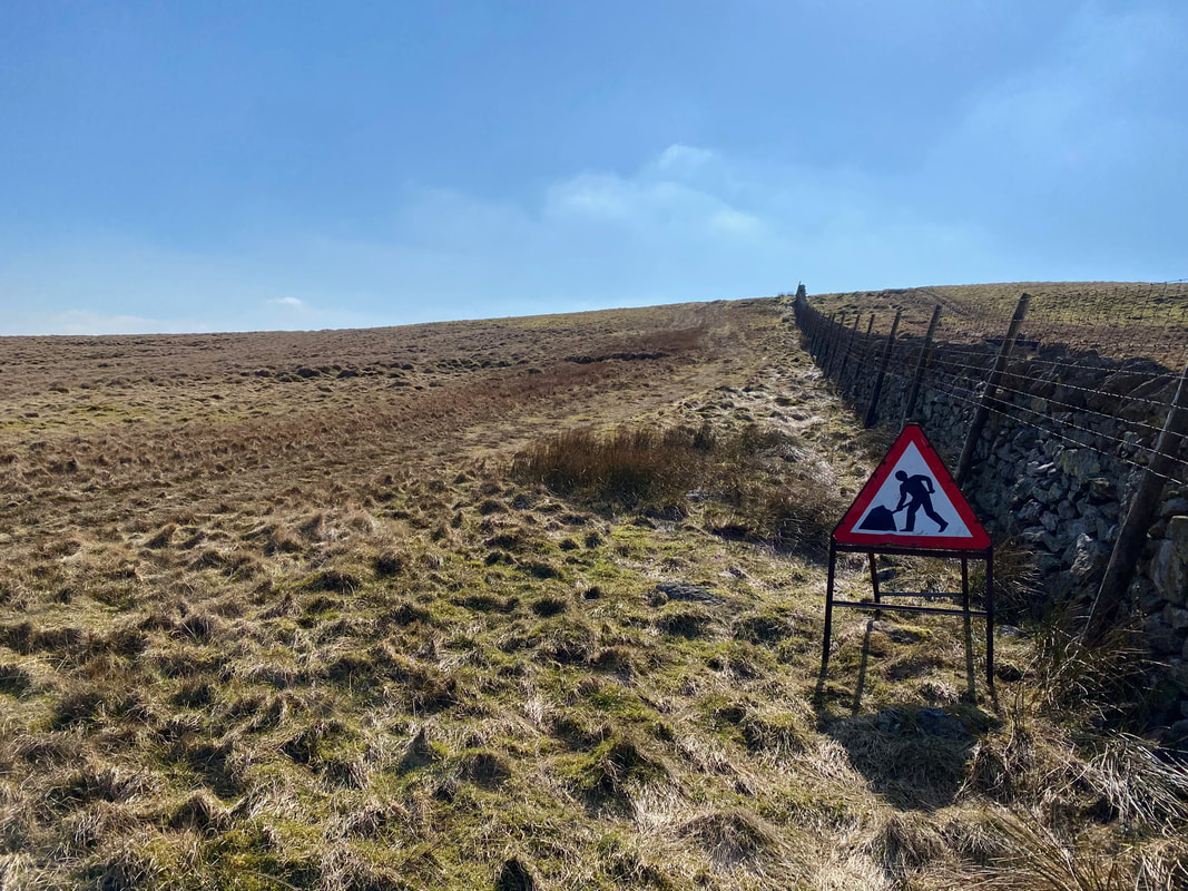
Whilst I am all for Health & Safety I think the sign is taking it a bit too far
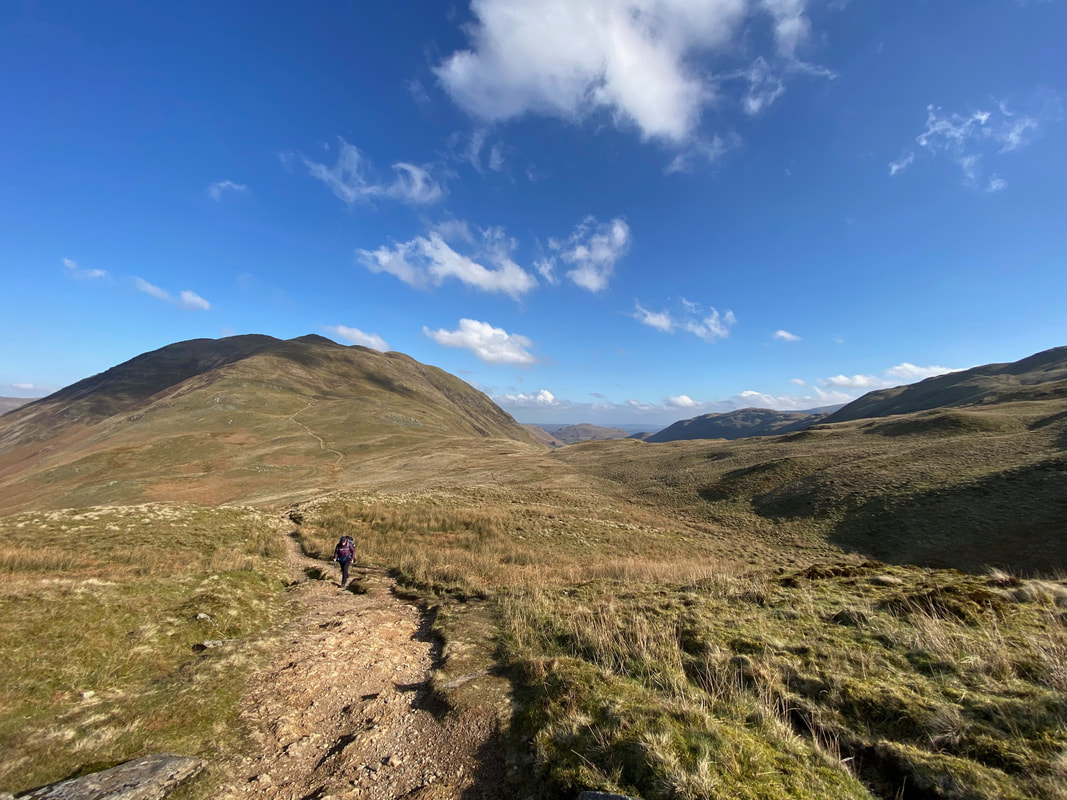
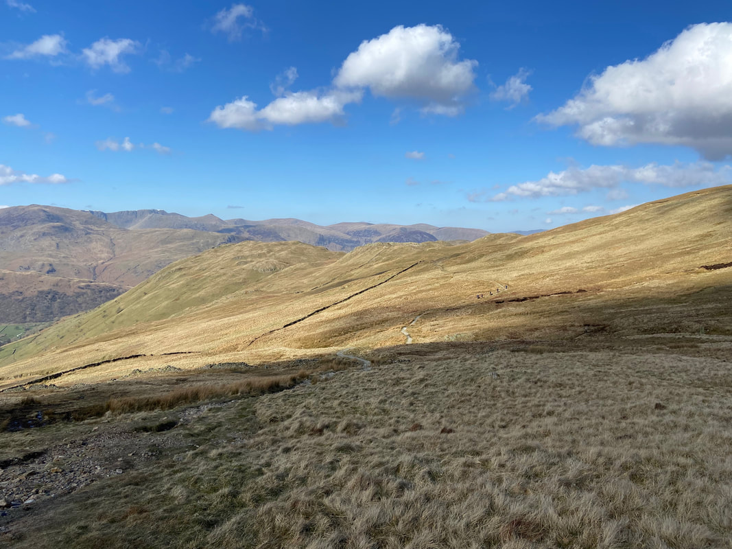
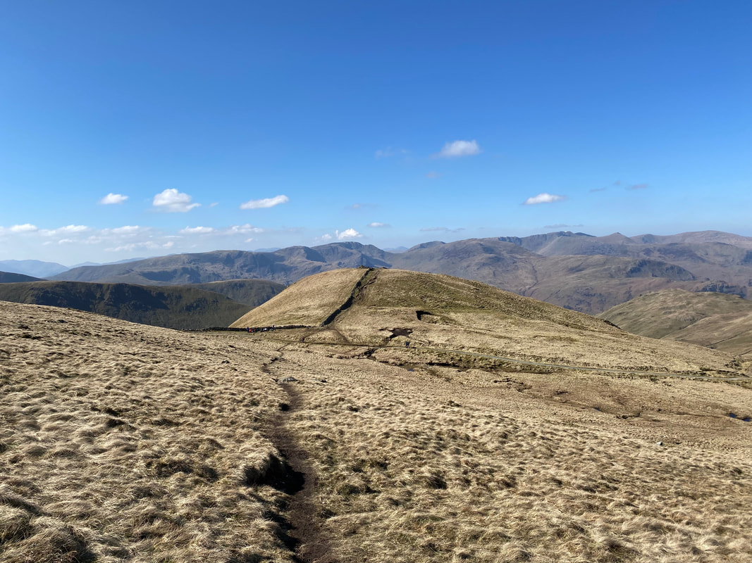
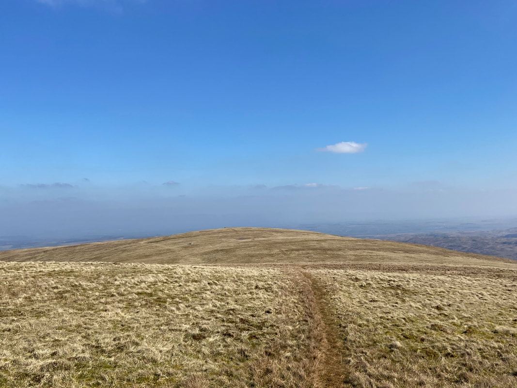
Now back on the route we headed along the ridge towards Raven Howe & Wether Hill
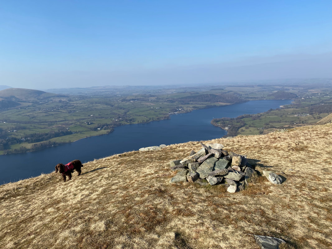
The summit of Wether Hill with Loadpot Hill distant - Fudge looks away in disgust at the paltry excuse for a cairn
The moorland transit to Loadpot Hill - nobody else here
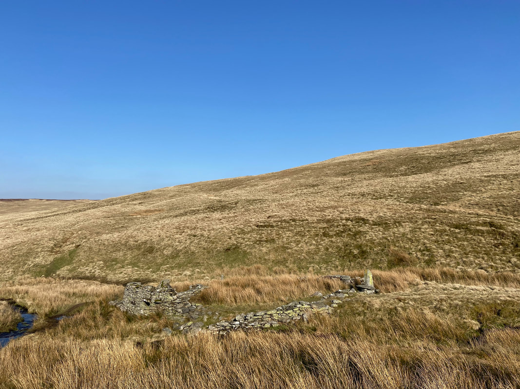
The boundary stone near the summit of Loadpot Hill. The structure in the distance is all that remains of Lowther House - a former shooting lodge and stables belonging to the nearby Lowther Estate.
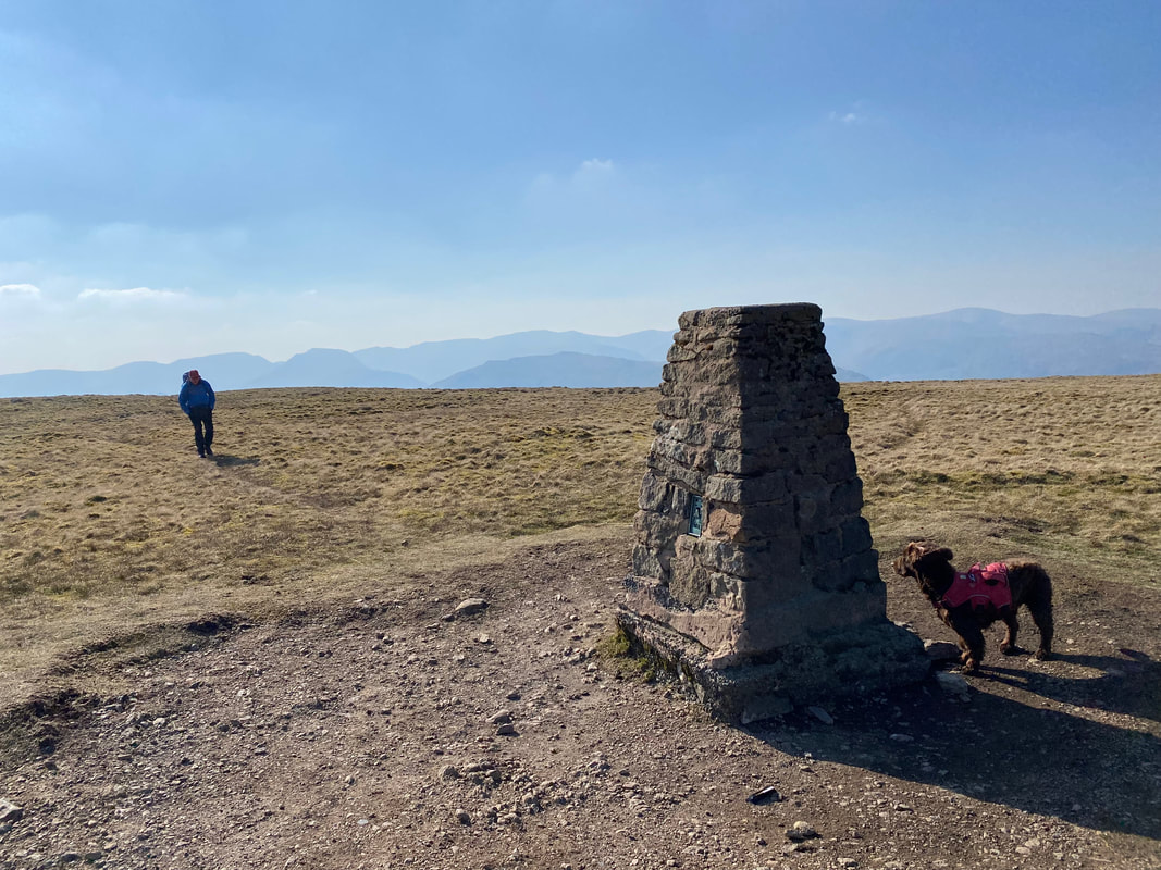
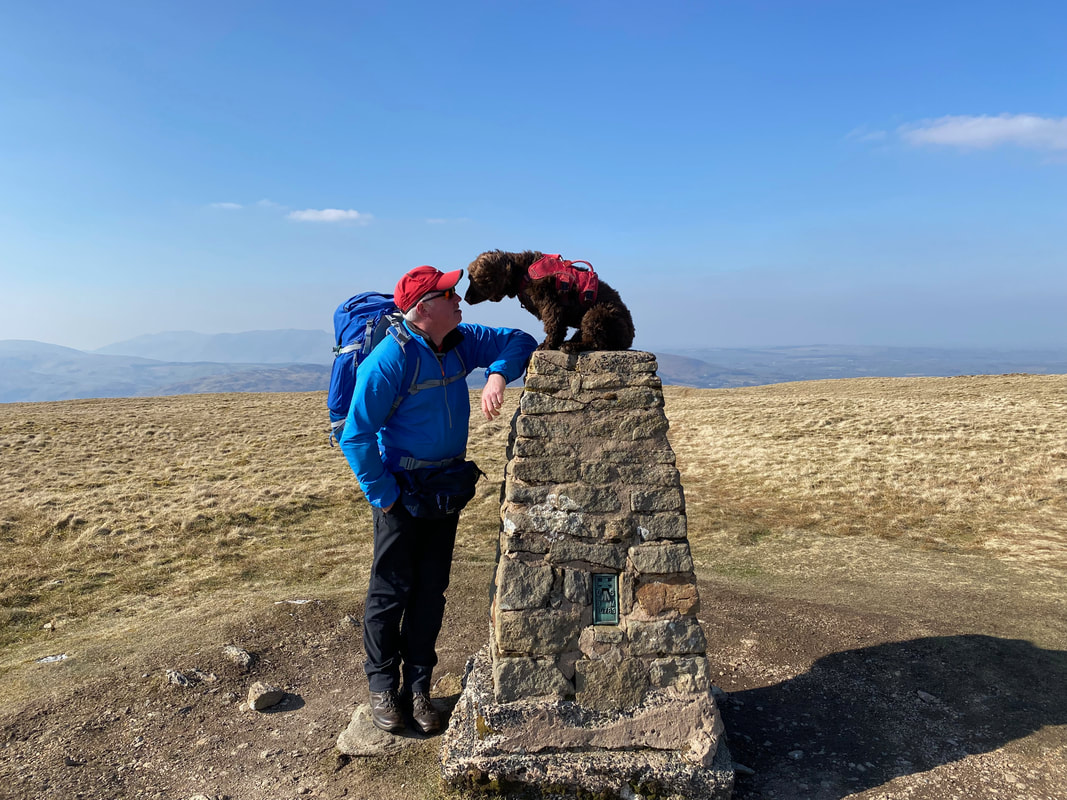
The Trig Point on Loadpot Hill - the actual summit is 80m to the south west
Approaching the Trig Point near the summit of Loadpot Hill (click Play to view)
"Is it your turn to get the beers in when we arrive at Pooley Bridge?"
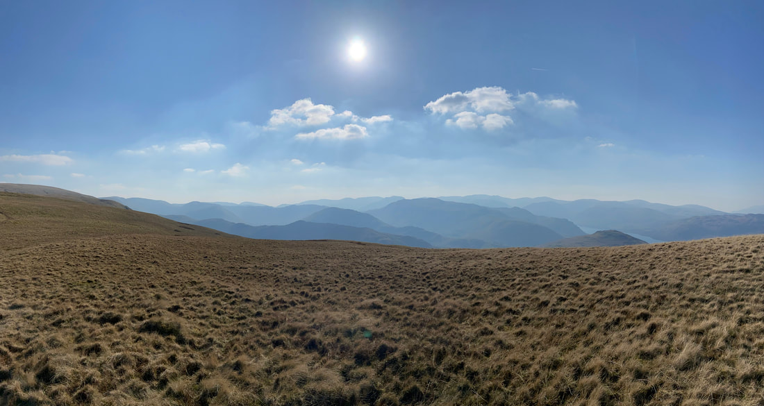
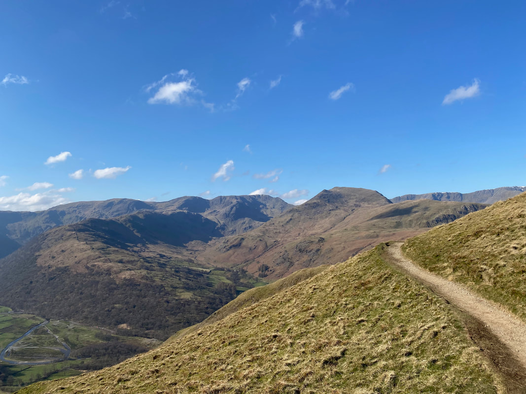
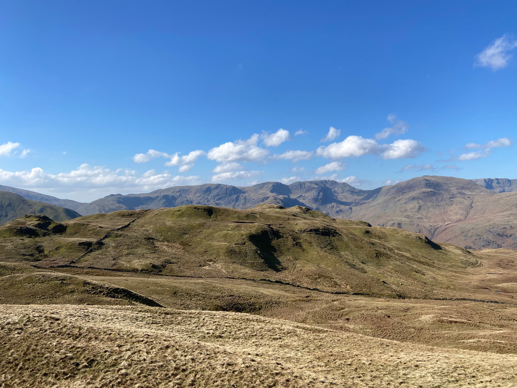
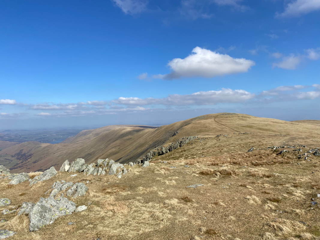
Layers and layers of fells from Loadpot Hill
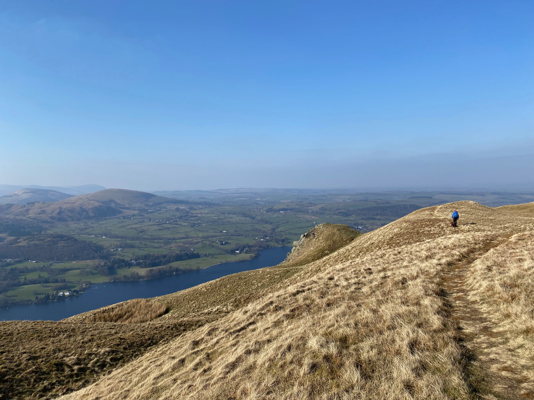
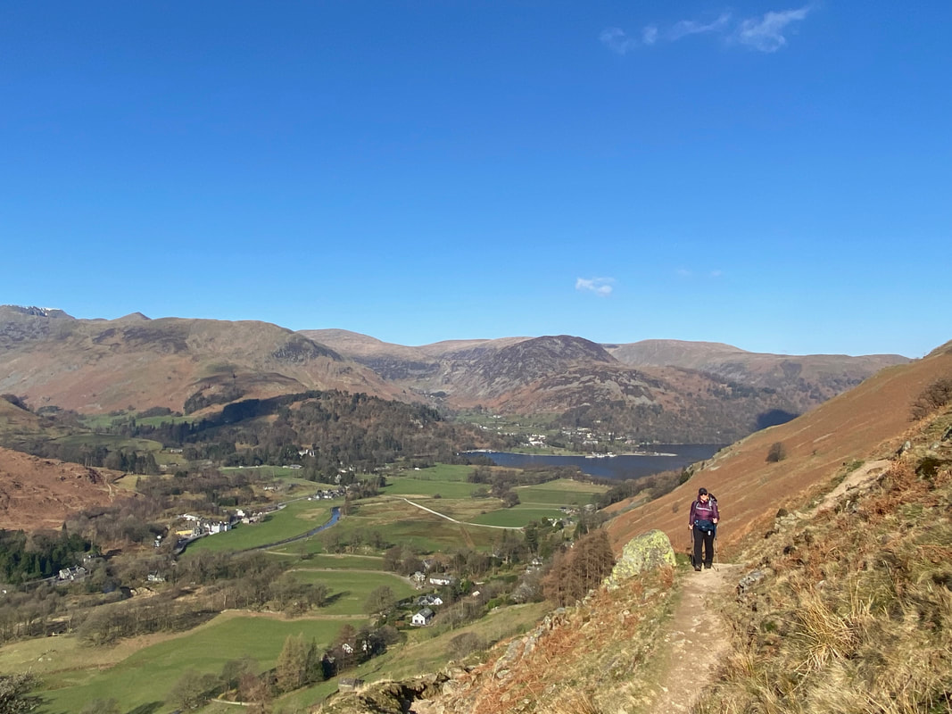
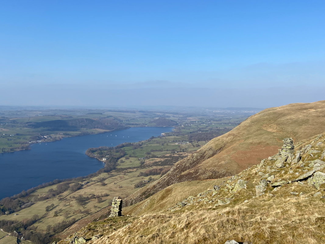
Heading for Bonscale Pike via Swarth Fell with Ullswater below and Little Mell Fell to the left
The glorious view down Ullswater from the approach to Bonscale Pike. Howtown sits below to the left with Hallin Fell rising above it.
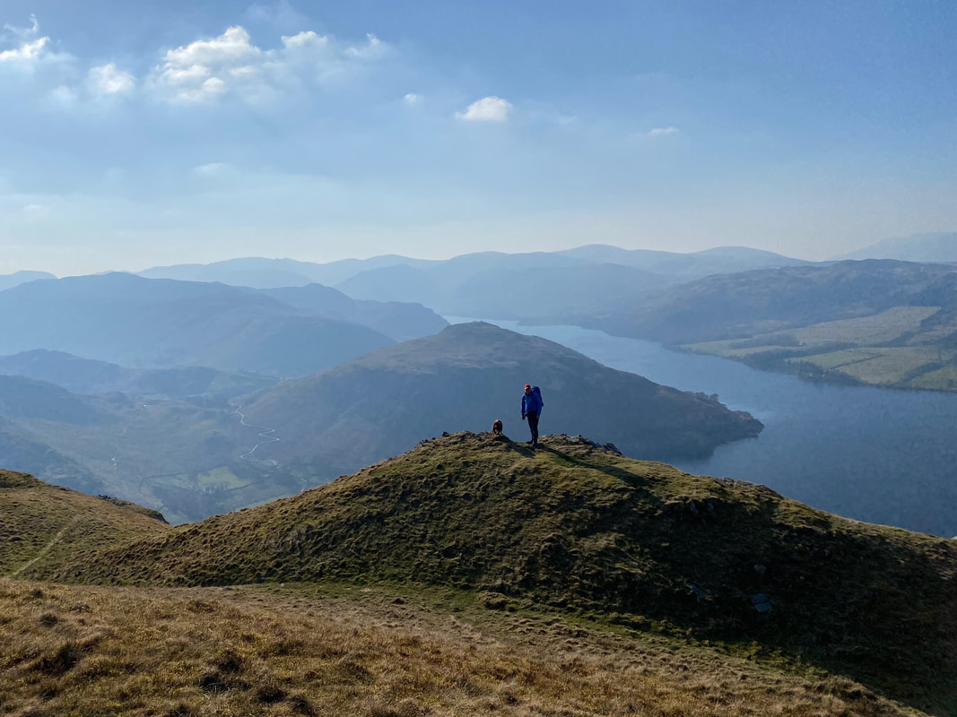
Fudge and I on the promontory near Bonscale Pike
The summit of Bonscale Pike
Just below the summit of Bonscale Pike are two soundly built stone pillars. The lower pillar is marked on the OS Map as Bonscale Tower and was more than likely built at the turn of the last century. At one time or another two towers were built however only the pillar on the right remains. The third tower stood approximately 200 yards south of Bonscale Tower. Wainwright said that "the men who selected the sites for the three pillars surely had a good appreciation of drama" (Bonscale Pike 4)
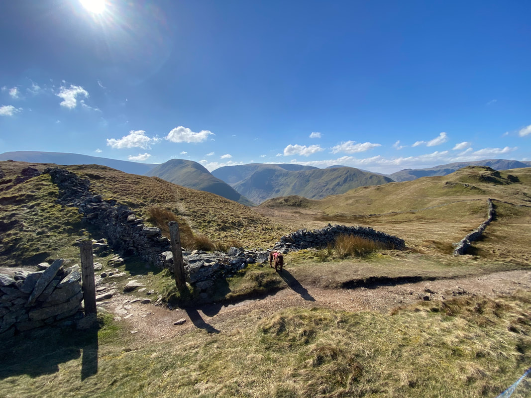
The route to Arthur's Pike. From Bonscale Pike the path drops down into a col to Swarth Beck which is crossed by an old sheepfold.

The summit of Arthur's Pike
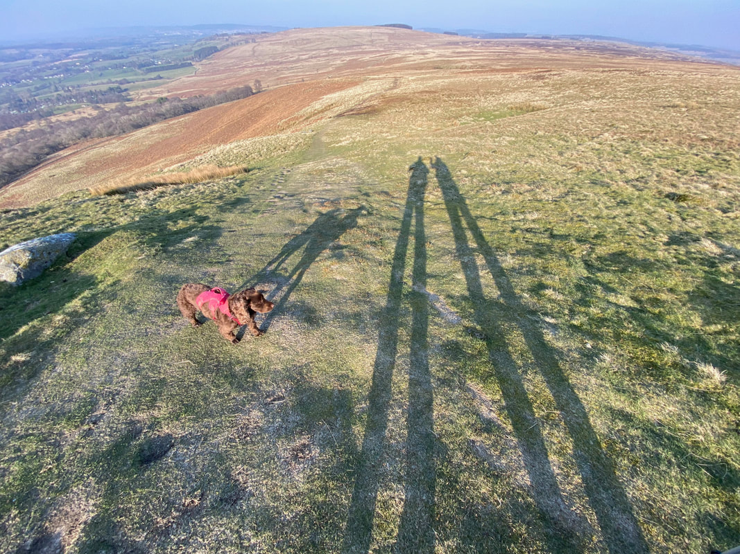
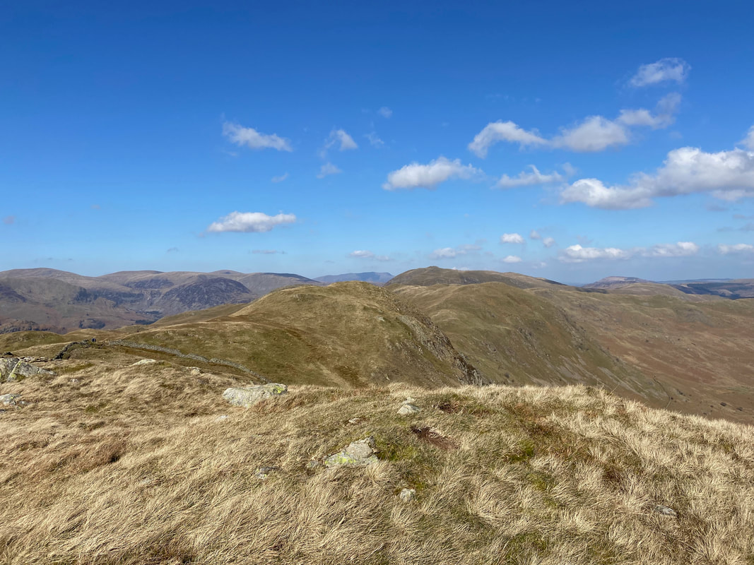
Walking tall as we leave Arthur's Pike for Pooley Bridge - the fell in the distance is Heughscar Hill
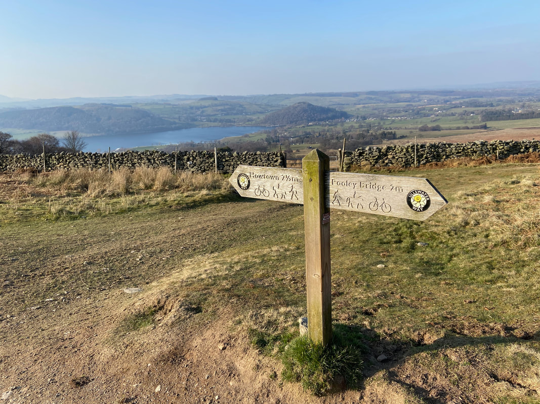
The junction of paths below Barton Fell - just 2 miles until we can enjoy a lovely pint
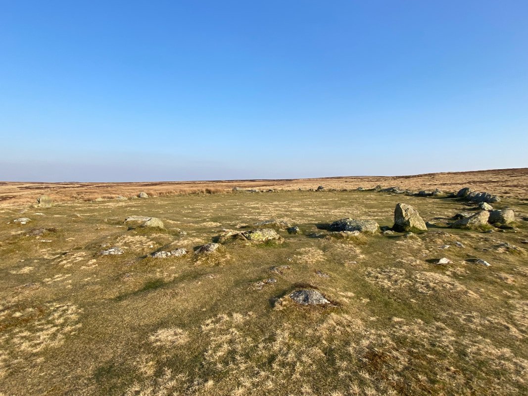
The Cockpit Stone Circle
The Bronze Age in Great Britain lasted almost 1500 years, and it is hard to date the Cockpit Stone Circle because it has features of both the early and the late Bronze Age. It has stones set within a low embankment suggesting a later date. However it is more than 20m in diameter and has more than 20 stones greater than 1 m high, which suggests an earlier date. All we can say is that it is at least 3500 years old and could be as much as 5000 years old. Castlerigg, near Keswick is much older, dating from the Neolithic Period, about 3000BC, but it has features in common with Cockpit. To build Cockpit, one theory suggests that first the land was levelled and the circle dug out. Then, rather than digging a hole for each stone, the stones were put in place at the edges and finally the flat central area was back filled. It is thought that the large flat area and clear entrances suggest a meeting place for the scattered local population, as Penrith is today, but it may also have had religious significance. As for the name, another theory is that the area was also used to host cock-fighting.
Source: Ullswater Heritage
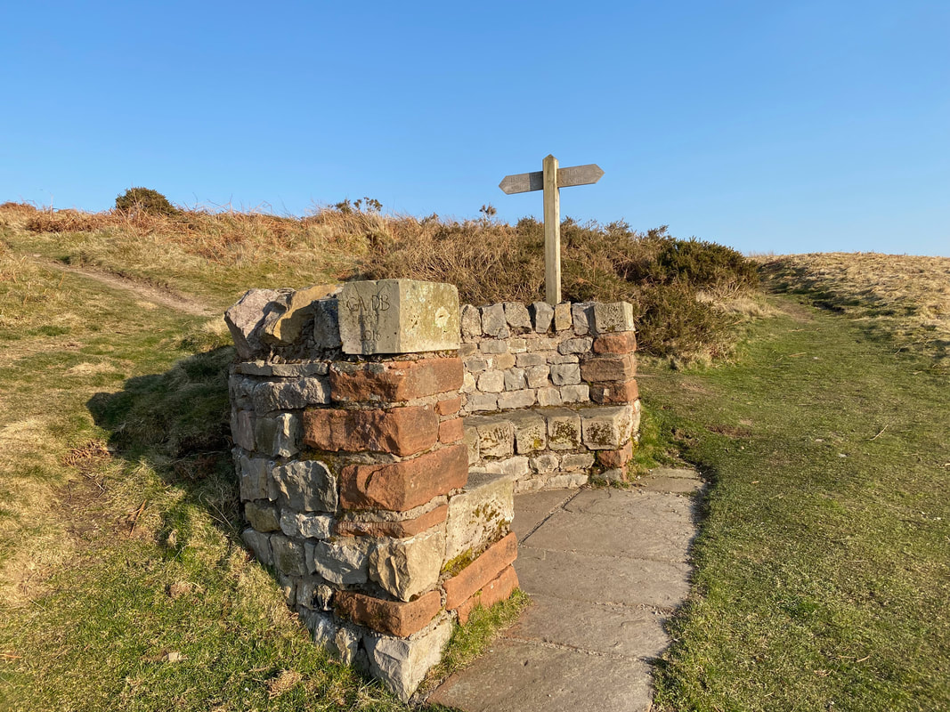
The Roman Seat on Moor Divock.
The seat is sited at an area known as The Roman Crossroads and was the brainchild of local amputee Alan Wedgwood. When he took up walking again after receiving his prosthetic leg, he regularly walked from Pooley Bridge to the Roman Crossroads. The only problem was the lack of a seat where he could rest and enjoy the view once he reached his goal. When a call went out for ideas for "installations" on a new Ullswater Heritage Trail, Alan promptly suggested the construction of a seat up at the crossroads utilising the stone from the arched door of a barn which he had in his garden. The seat was therefore constructed in 2016 by George Allonby and David Buchanan.
The seat is sited at an area known as The Roman Crossroads and was the brainchild of local amputee Alan Wedgwood. When he took up walking again after receiving his prosthetic leg, he regularly walked from Pooley Bridge to the Roman Crossroads. The only problem was the lack of a seat where he could rest and enjoy the view once he reached his goal. When a call went out for ideas for "installations" on a new Ullswater Heritage Trail, Alan promptly suggested the construction of a seat up at the crossroads utilising the stone from the arched door of a barn which he had in his garden. The seat was therefore constructed in 2016 by George Allonby and David Buchanan.
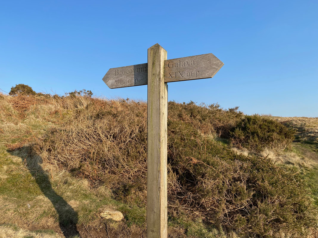
The sign at the Roman Crossroads displaying the distance between the Roman Forts at Penrith and Ambleside. Only earthworks remain at Brocavum (Penrith) however well-marked remains can be seen at Galava (Ambleside). The forts were more than likely built under the Roman Emperor Hadrian's rule to guard the Roman Road between Brougham & Ravenglass. It is believed that the fort at Galava was a supply base.
Source: Historic England
Source: Historic England
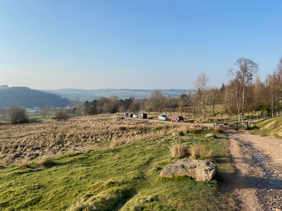
Approaching the parking area at Roehead
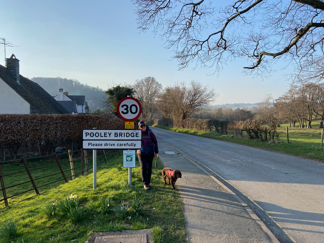
And here we are - arriving at Pooley Bridge after a long but exhilarating day high above Ullswater
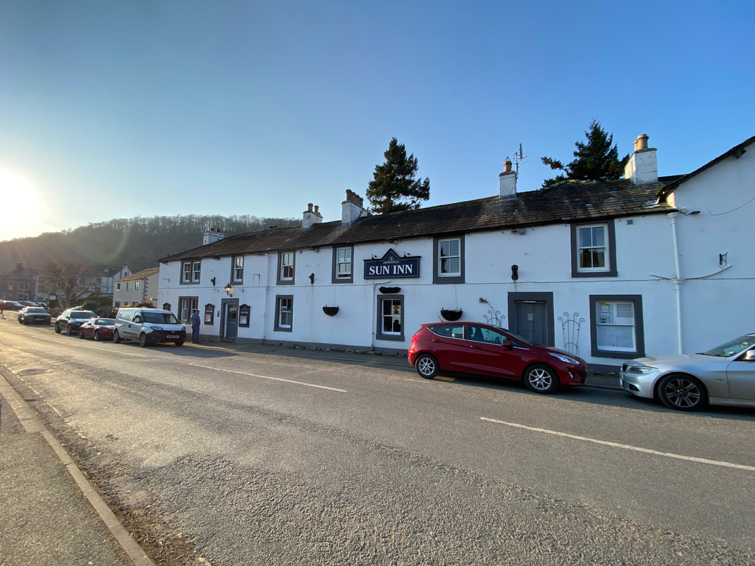
The Sun Inn at Pooley Bridge - our bed for the night
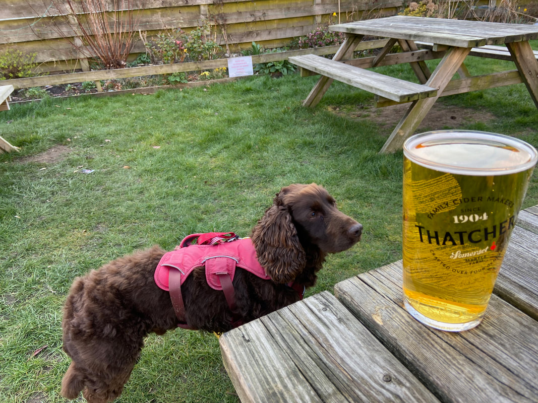
Before all that checking in malarkey it was time for some Apples
Click on the link above to see how we got on walking Day 2 of The Ullswater Way