Harter Fell & Green Crag - Tuesday 4 April 2023
Route
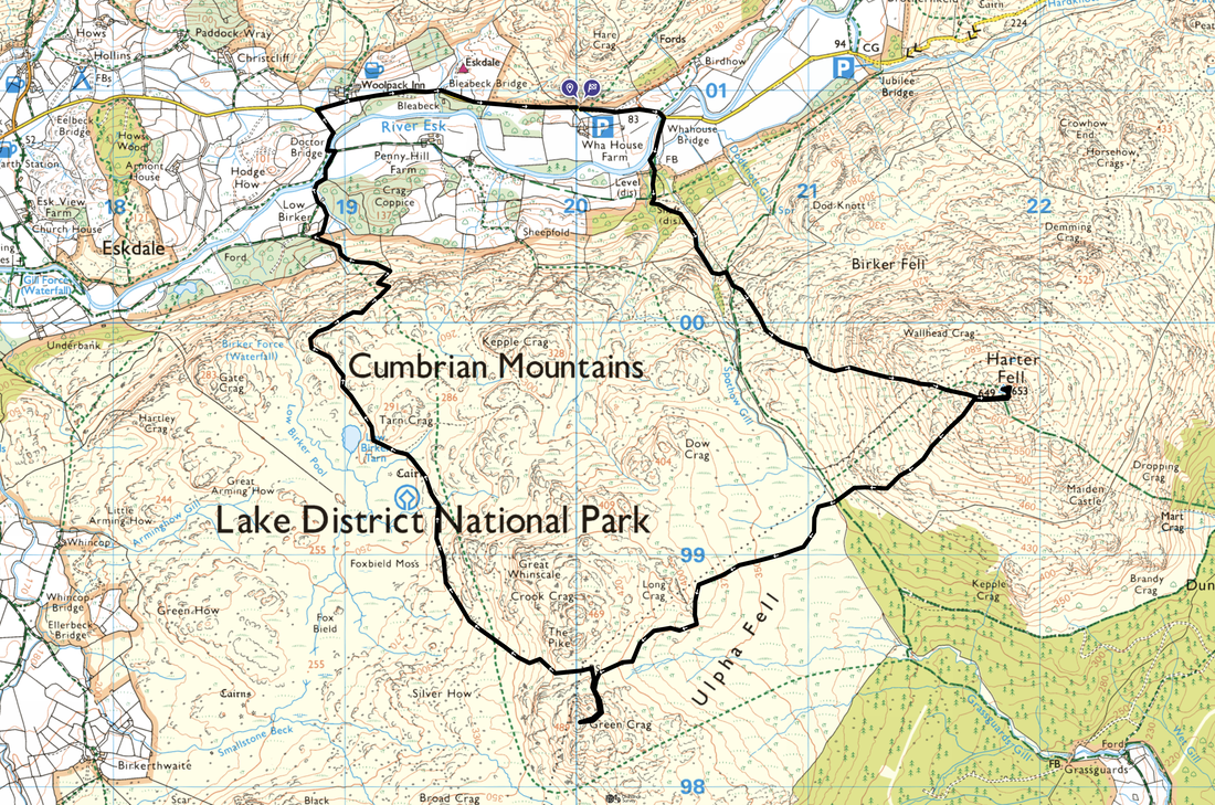
Wha House - Whahouse Bridge - Spothow Gill - Harter Fell - Green Crag - Foxbield Moss - Low Birker Tarn - Low Birker - Doctor Bridge - Woolpack Inn - Wha House
Parking
Small parking area opposite Wha House Farm (Free) - Grid Ref NY199009. Nearest postcode is CA19 1TH.
Mileage
7.5 miles
Terrain
Good mountain paths for the most part. The area from where the route crosses Ulpha Fell to Green Crag below Harter Fell is notoriously boggy but nowhere near as bad as people like to portray. It is juicy yes but can be crossed with a bit of "tussock jumping".
Weather
Glorious with light breezes, sunshine and excellent visibility
Time Taken
6hrs 35mins
Total Ascent
2555ft (779m)
Wainwrights
2
Map
OL6 - The English Lakes (South Western Area)
Walkers
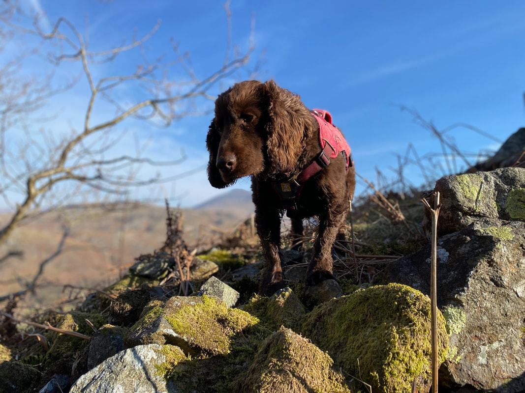
Dave, Angie & Fudge
|
GPX File
|
| ||
If the above GPX file fails to download or presents itself as an XML file once downloaded then please feel free to contact me and I will send you the GPX file via e-mail.
Route Map
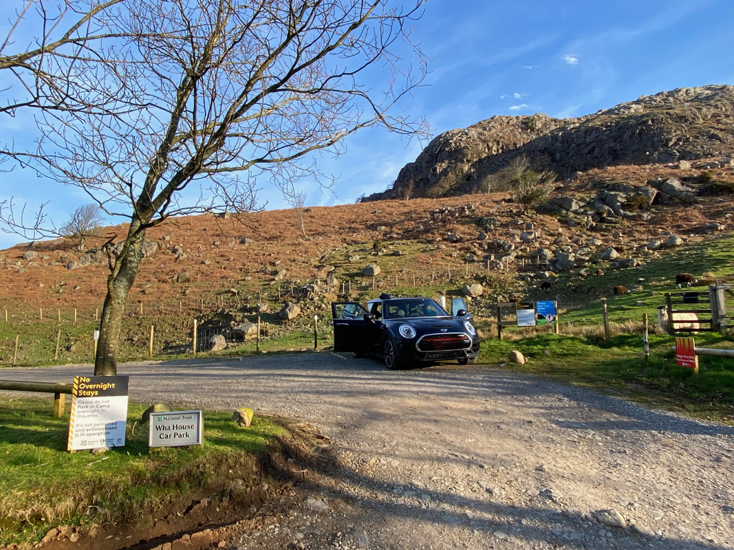
The Car Park opposite Wha House Farm in Eskdale. Parking here is free therefore at weekends you need to get here fairly early as it fills up quickly. There are other parking areas at Jubilee Bridge to the east.
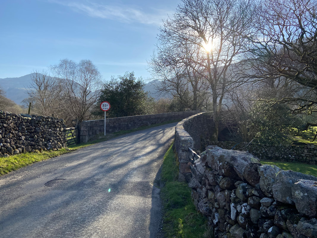
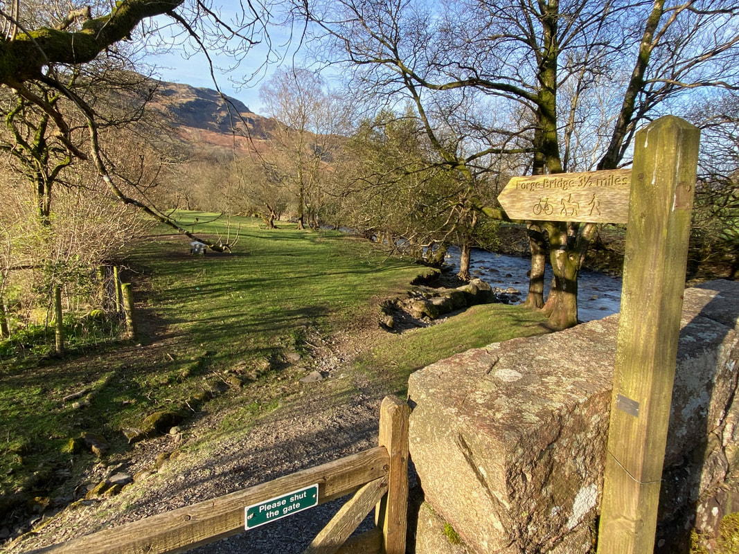
Leaving Wha House we headed along the road to the east in the direction of the Hardknott Pass to cross Whahouse Bridge over the River Esk
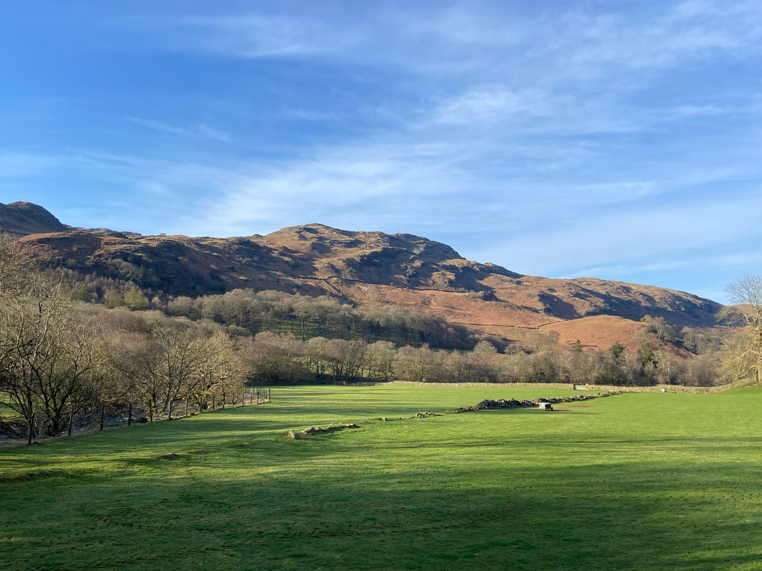
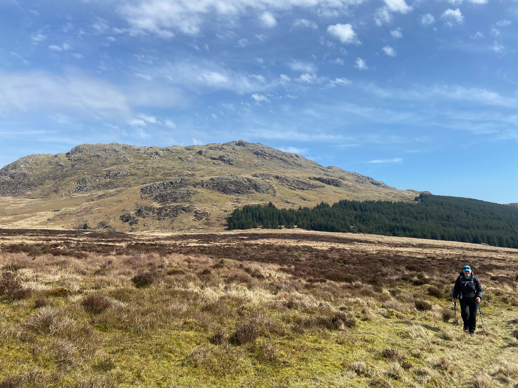
The lower slopes of Kepple Crag
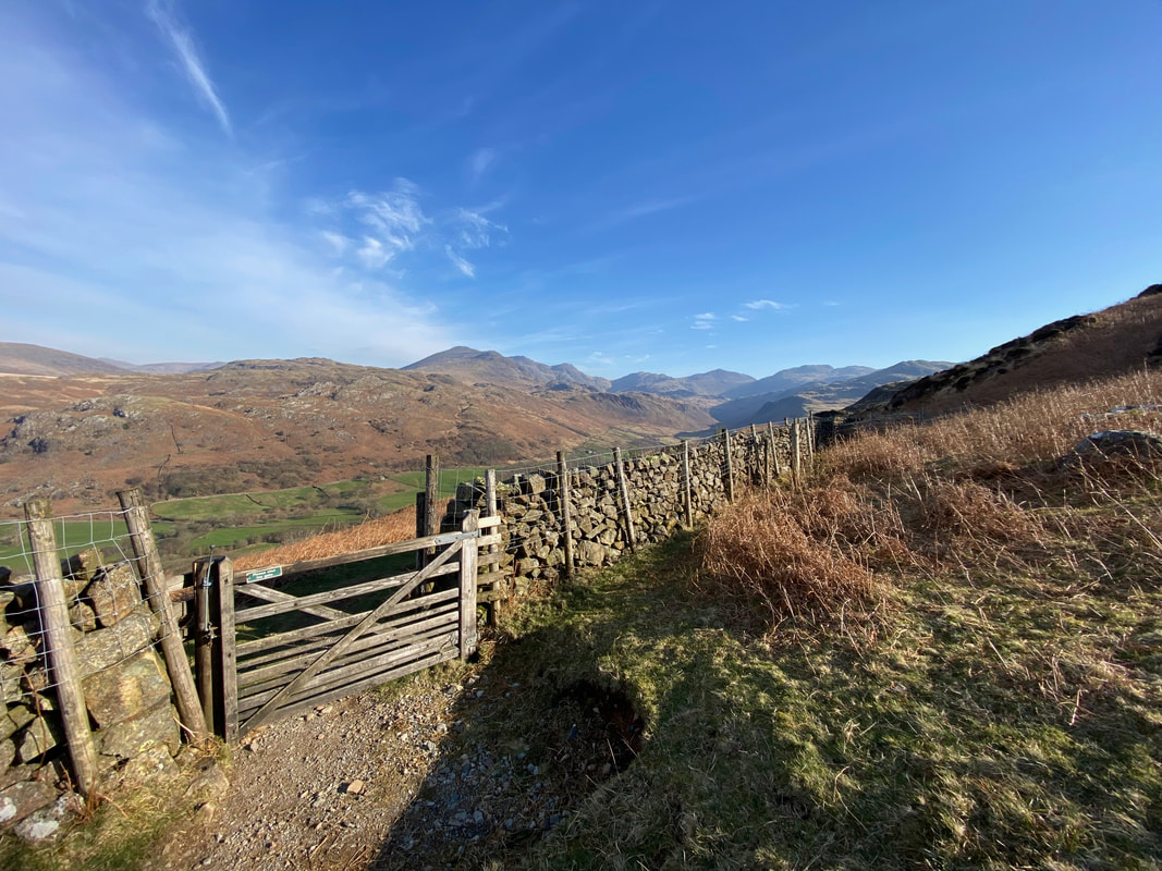
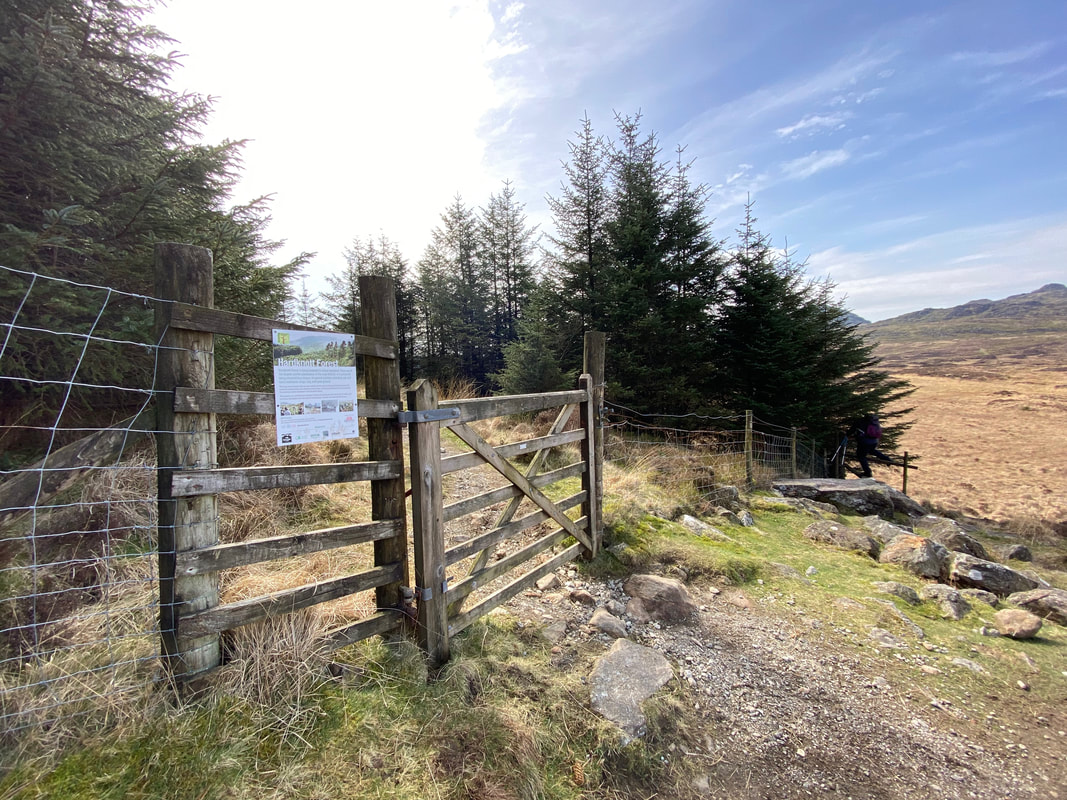
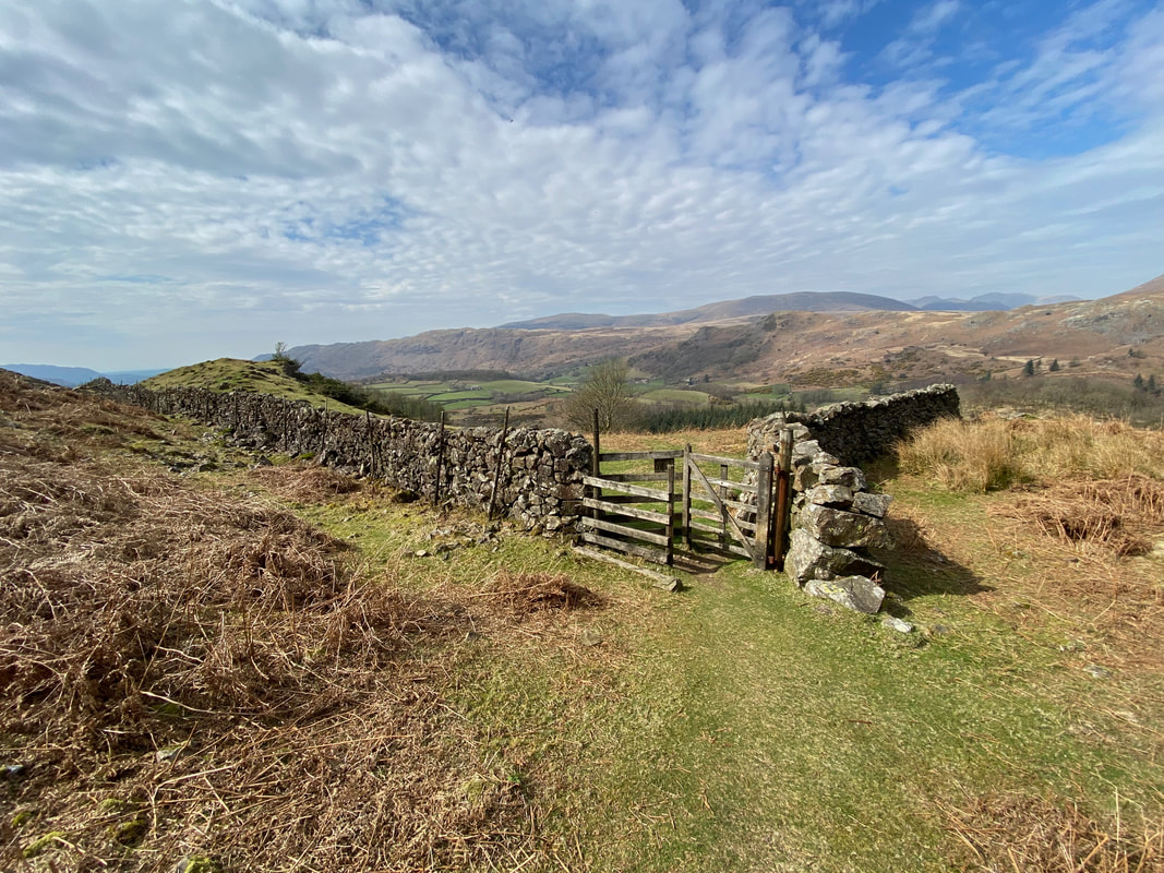
Immediately after crossing the bridge a way marked path is accessed via a hand gate
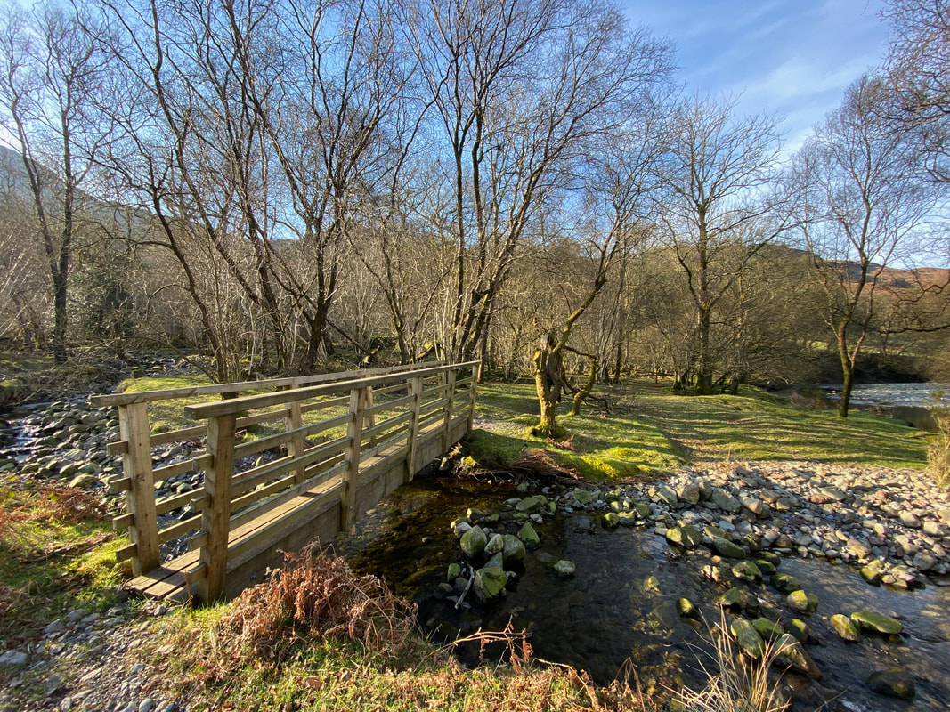
Further along the path a footbridge crosses Spothow Gill
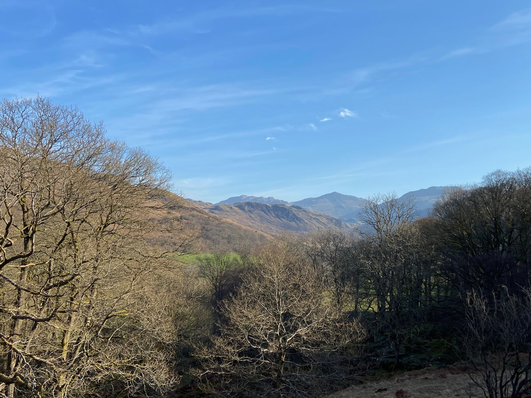
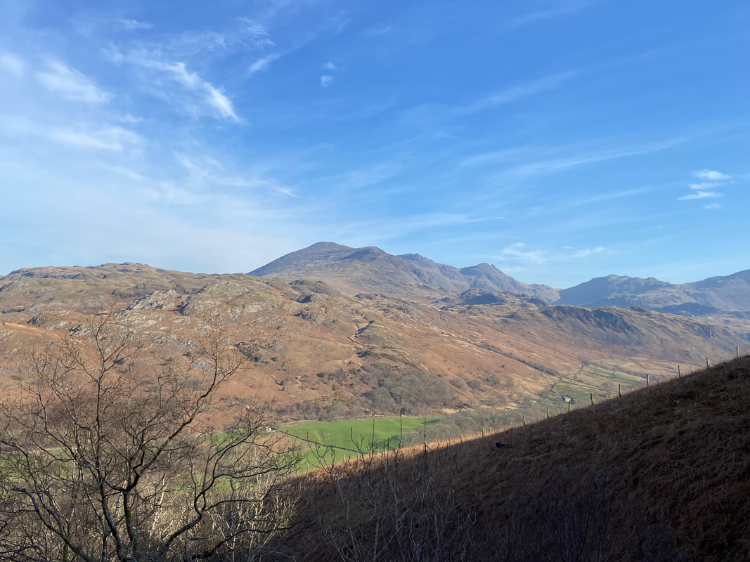
Esk Pike, Bowfell & Crinkle Crags make an appearance at the head of Eskdale
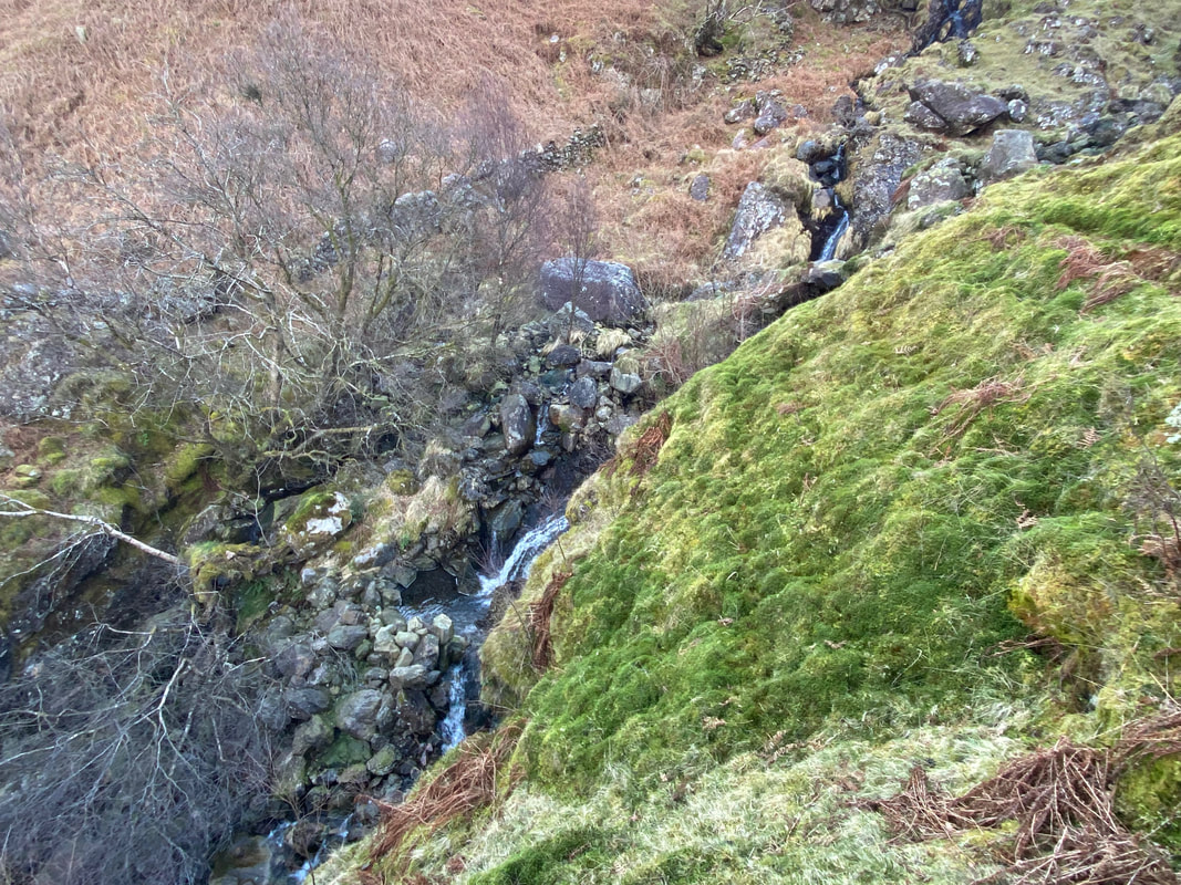
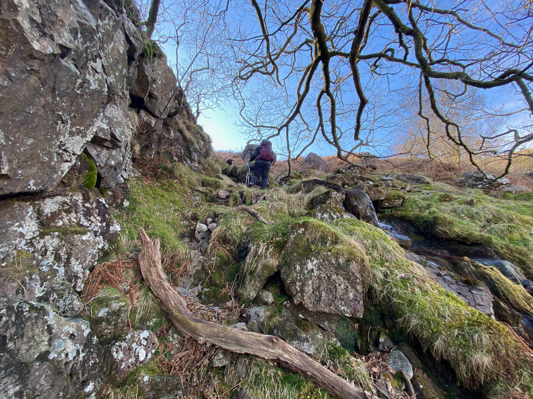
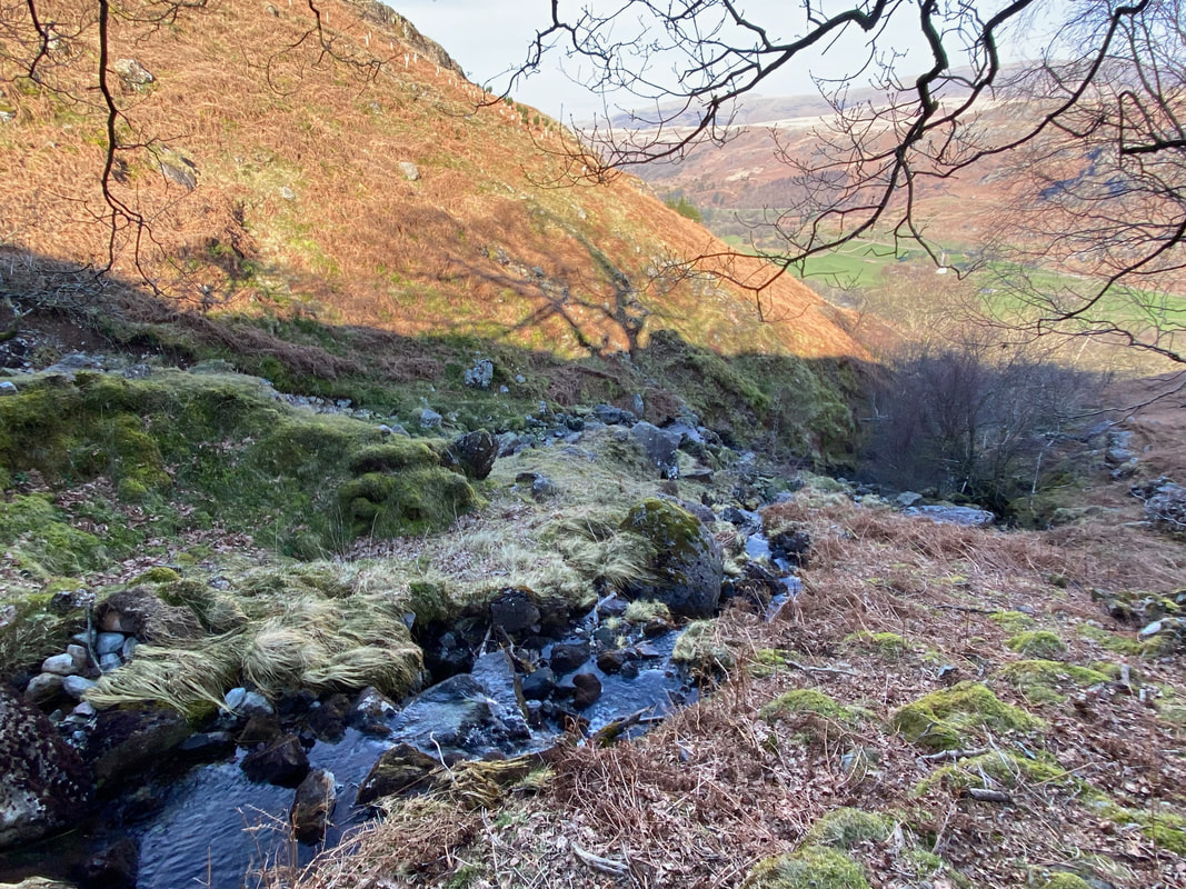
The route handrails the right hand side of Spothow Gill as it tumbles down the fell side. This path does not appear on the OS Map and is intermittent in places but is perfectly navigable. Sometimes it is nice to go "off piste".
As height is gained Long Green, Scafell, Scafell Pike and Ill Crag make an appearance
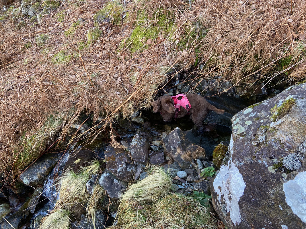
A quick slurp and an arse about in Spothow Gill was the order of the day for Fudge
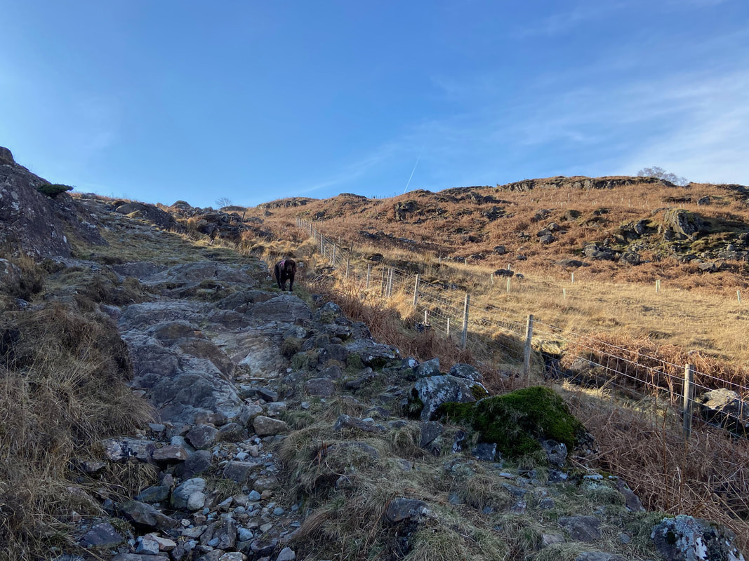
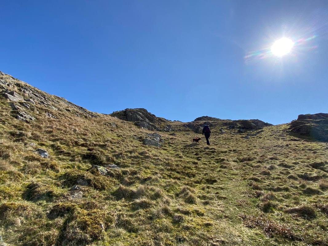
Whilst rough in places, this was still a really nice route up
To join the path coming up from Jubilee Bridge, the route crosses Spothow Gill at Grid Reference NY 20594 00213
Fudge takes time to rest up and wait for his Mum & Dad who had made the steep ascent "blowing for tugs"
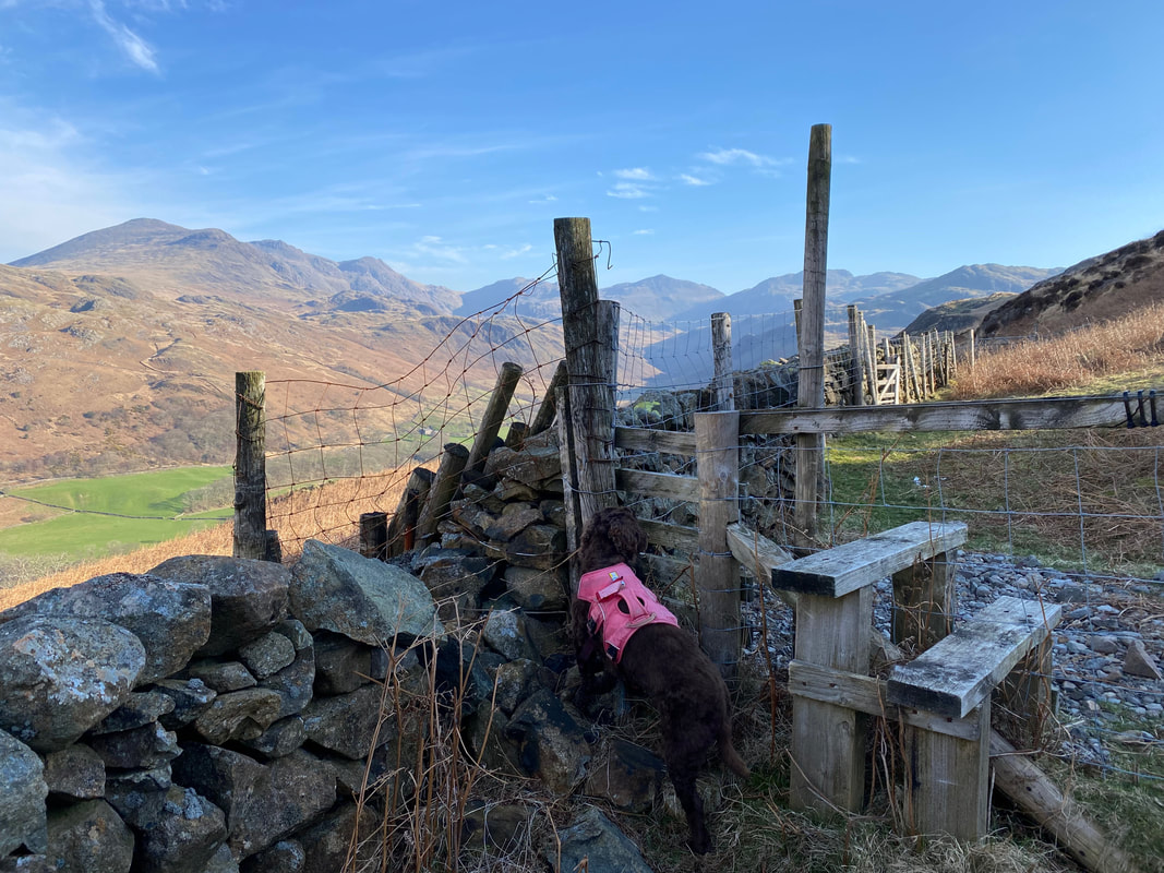
The stile that gives access to the main path coming up from Jubilee Bridge - the gate on the main path can be seen a little further along the wall
And here we are - now on the main thoroughfare from Jubilee Bridge to Harter Fell
Upper Eskdale
The gradient eased for a while but would start to steepen again shortly
Green Crag pops out on the extreme left of shot with The Pike, Crook Crag & Great Whinscale centre
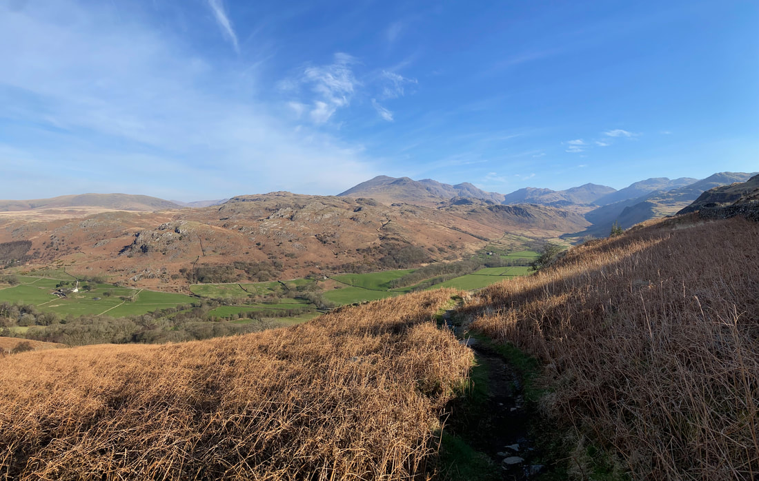
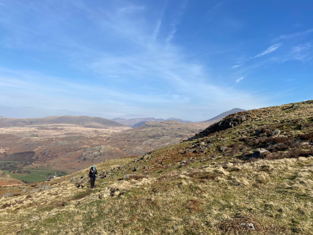
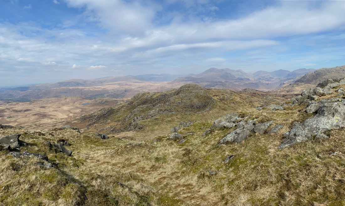
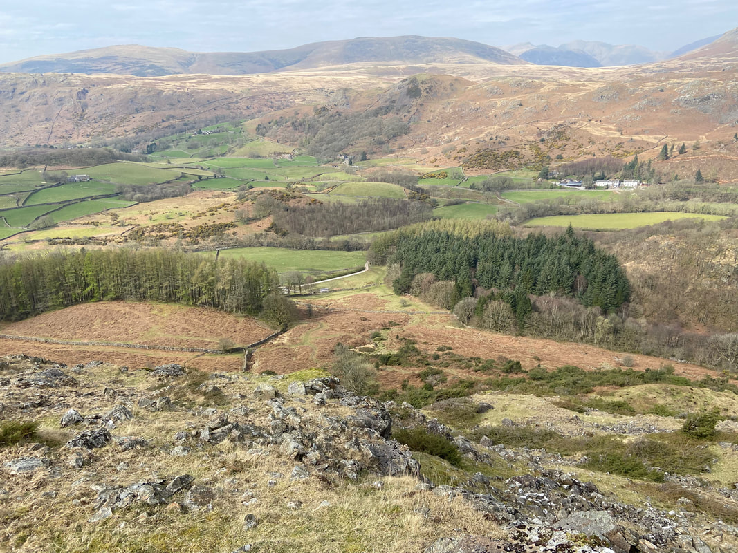
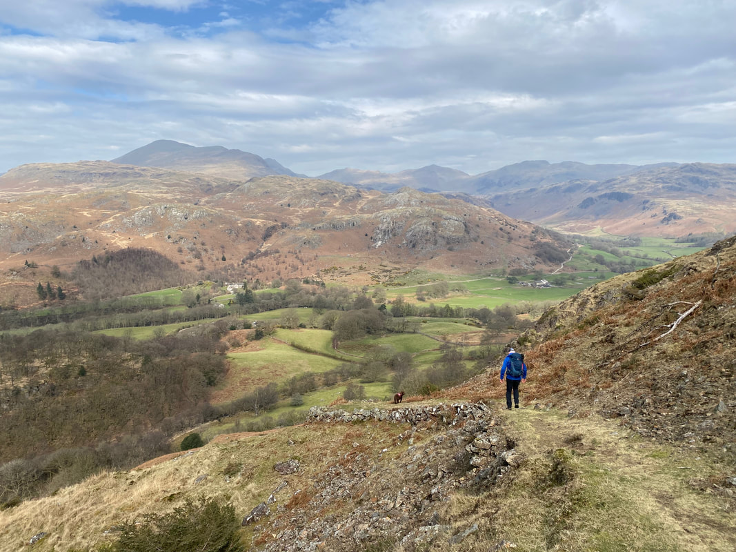
As height is gained the views back to Eskdale really do start to open out
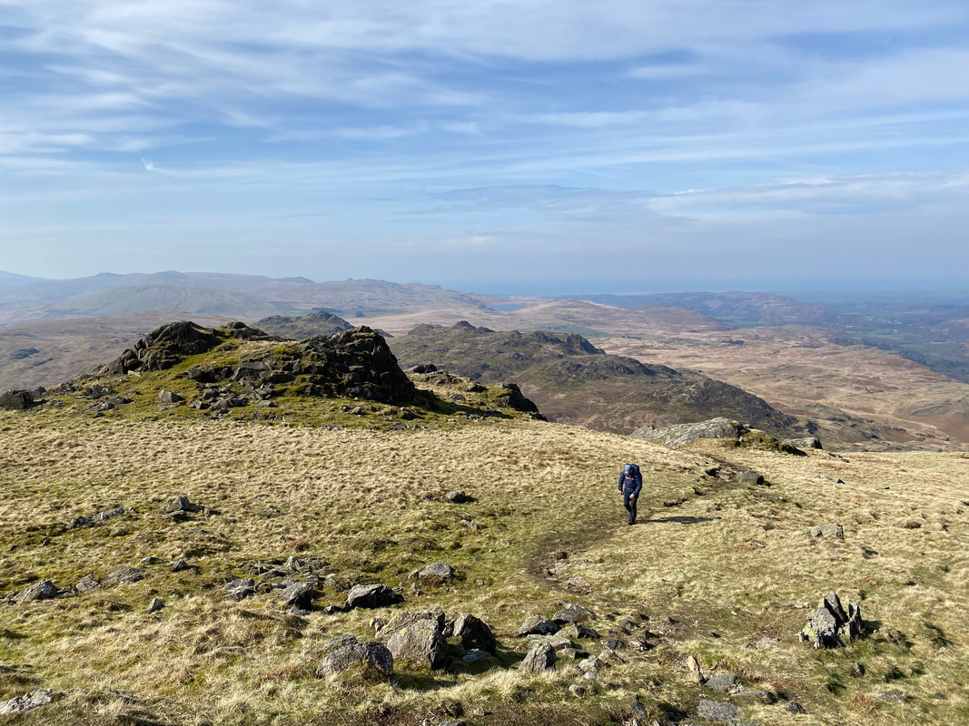
The path is now quite rough in places as we approach Harter Fell's summit ridge
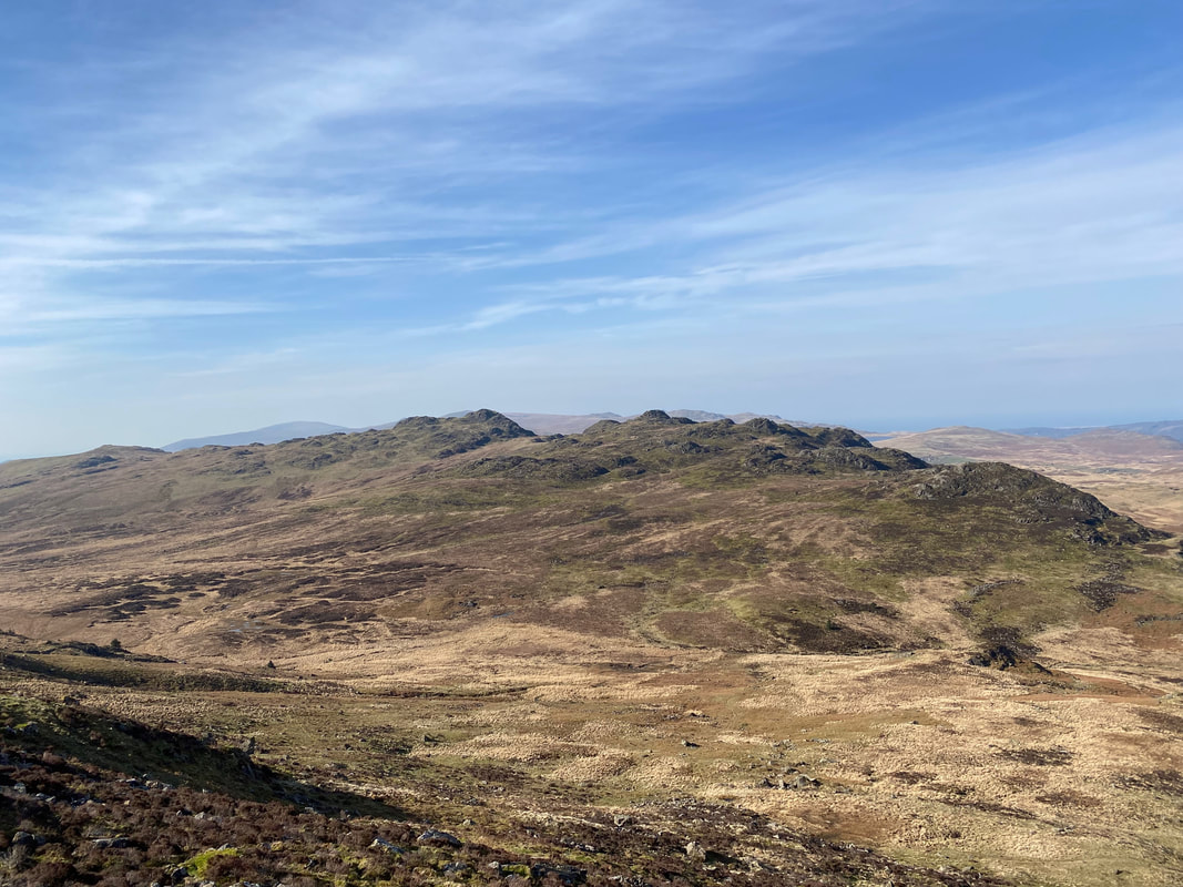
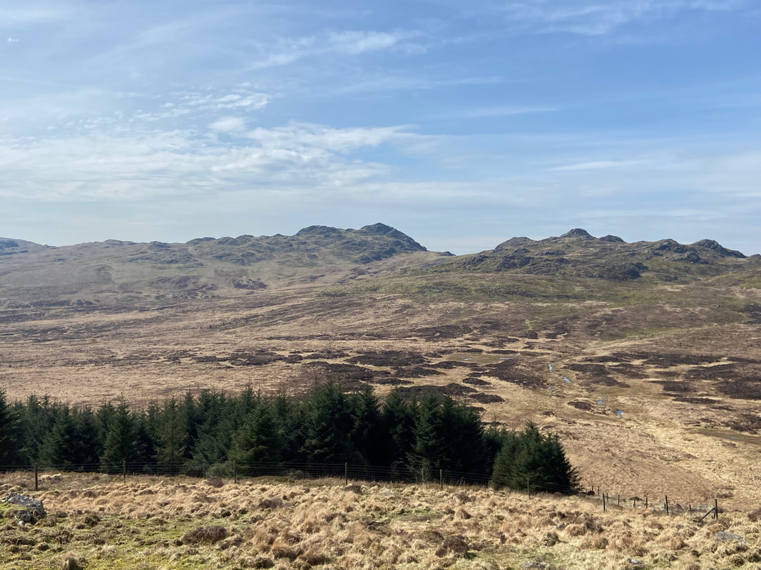
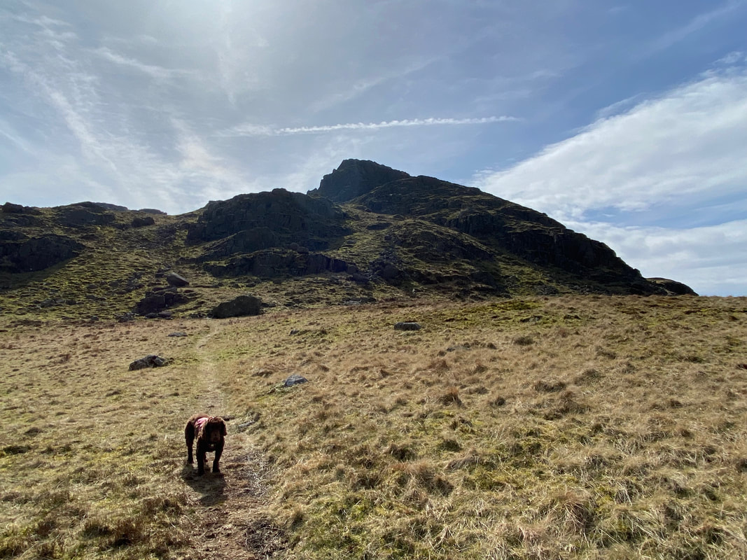
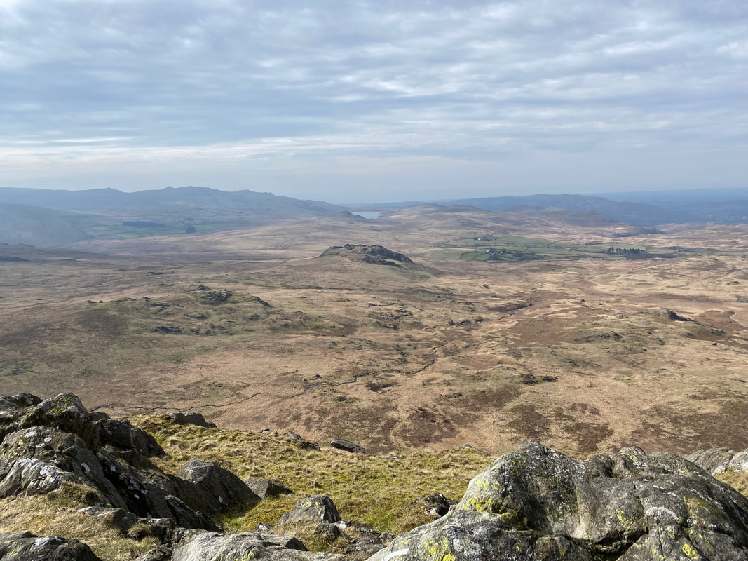
Looking across to Green Crag from the slopes of Harter Fell. Over to the left is the notoriosly boggy section that for some reason frightens the life out of people who are wanting to link up Harter Fell & Green Crag. We would be crossing it later and in all honestly, whilst we had to do a bit of "tussock hopping" it wasn't that bad.
Can I have my lunch now please even though it's only 1030?
The path had now turned grassy as we neared the summit of Harter Fell
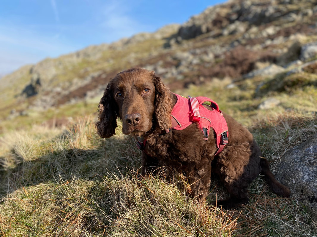
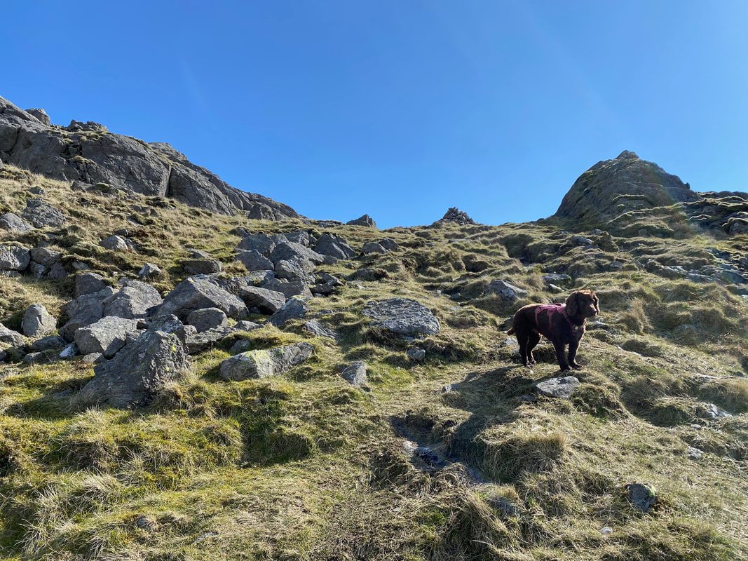
Having pacified his hunger with a few treats, Fudge was now a bit more cheerful although looking at his gob you wouldn't know it.
At Grid Reference SD 21736 99672 there is a path junction. We would be carrying on to the left to gain Harter Fell's summit and would return to this point later and head down the path on the right which meets the north western edge of Hardknott Forest.
As alert as ever, Fudge listens intently as someone in Barrow in Furness opens a packet of biscuits
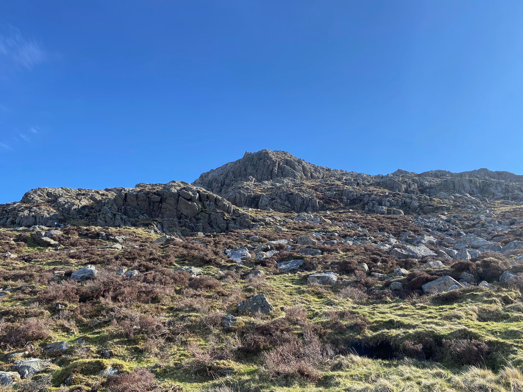
The final approach to Harter Fell
Looking back at the final approach
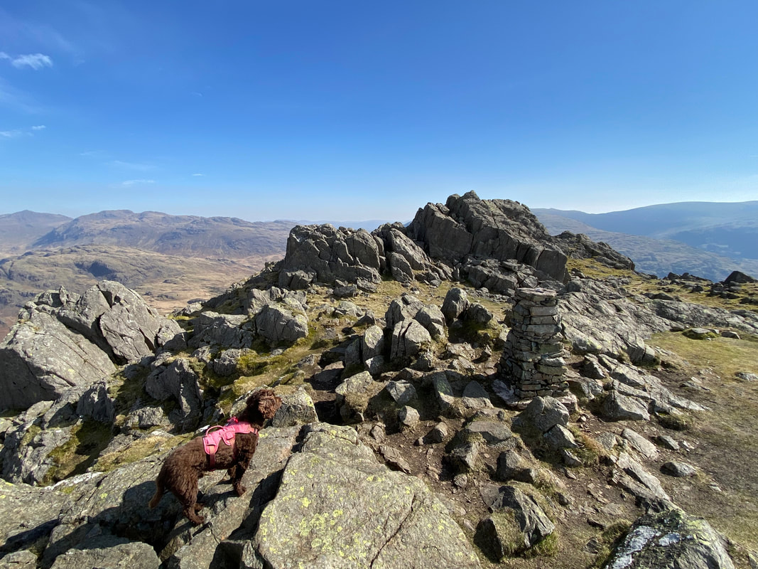
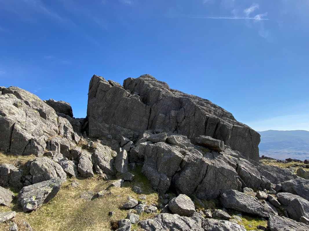
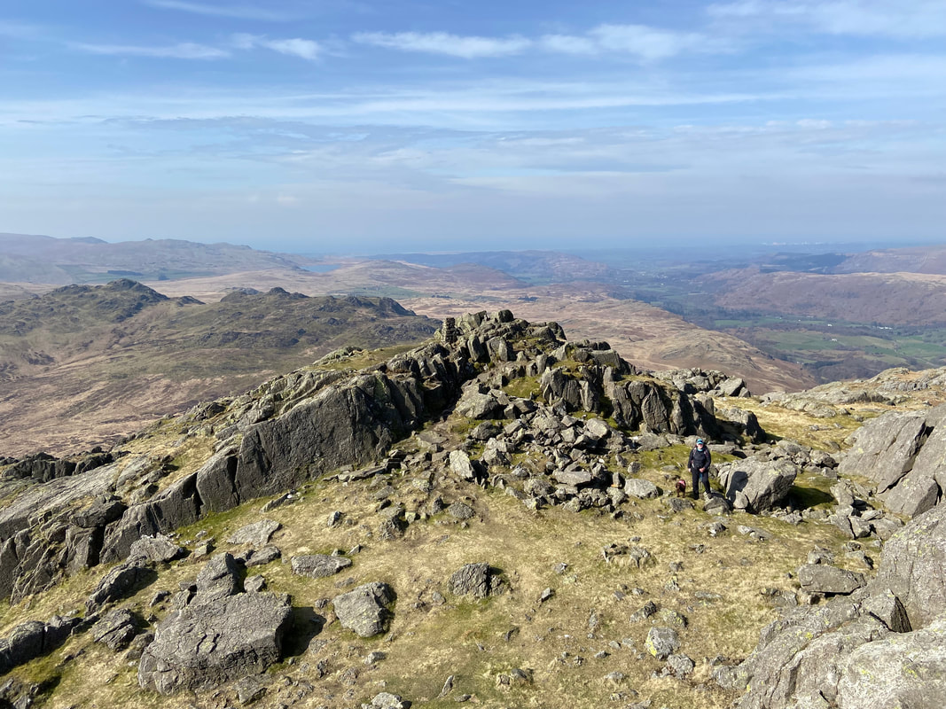
The summit of Harter Fell. Whilst the Trig Point is considered the summit by most people, the highest point of the fell is the rock tor beyond.
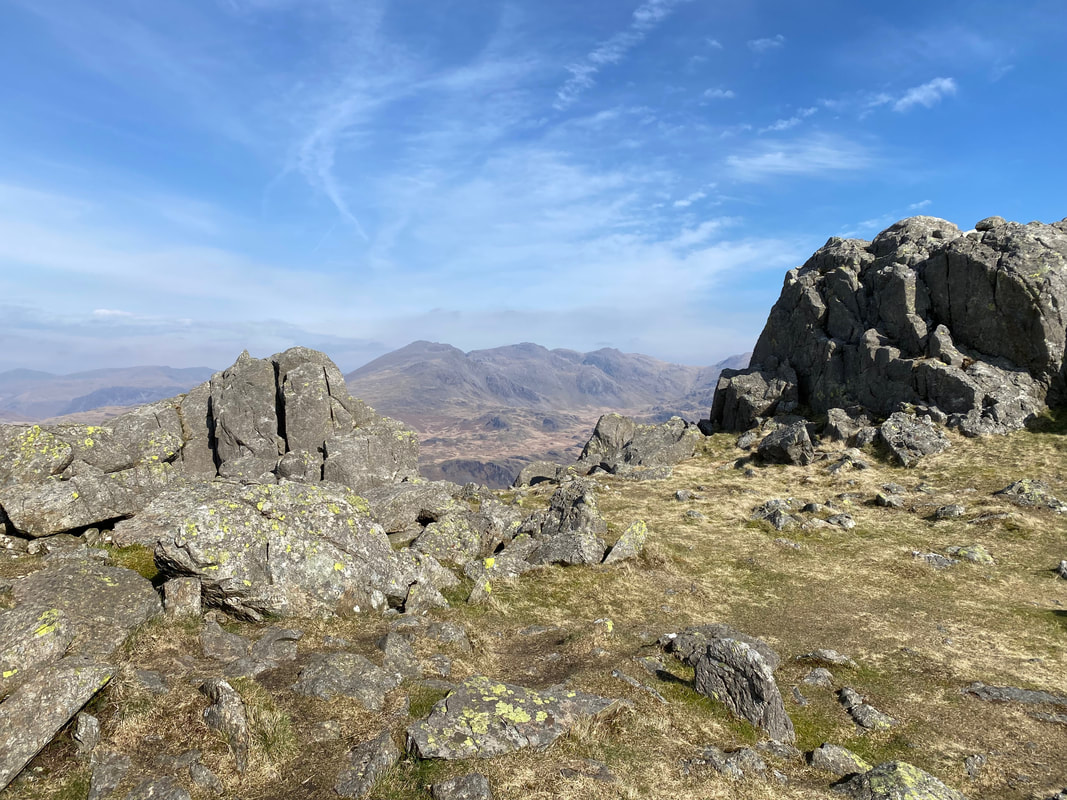
Looking through the small col between the Trig Point and rock tor to Scafell & Scafell Pike
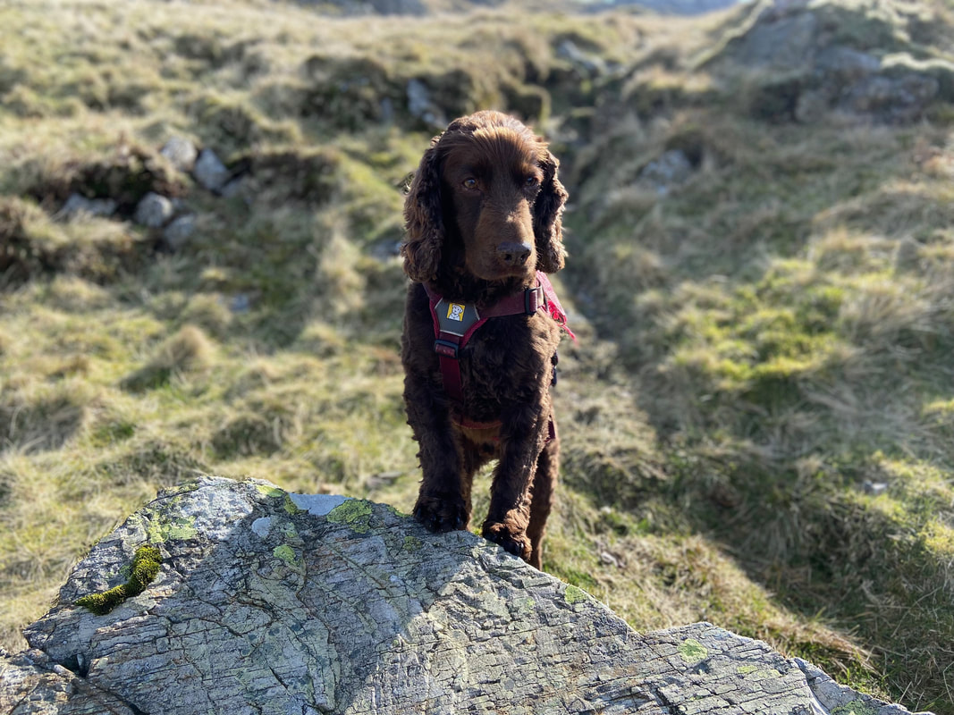
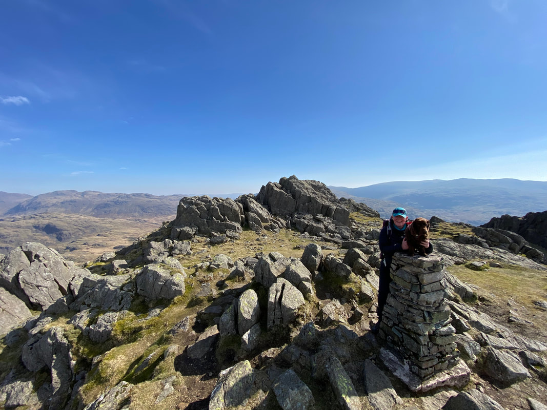
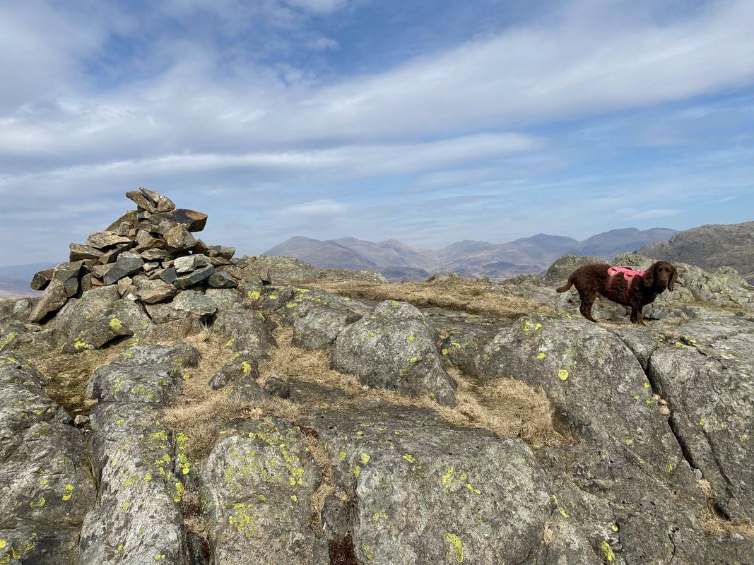
As is tradition, Fudge poses on the Trig Point on Harter Fell - this time with his Mum..........
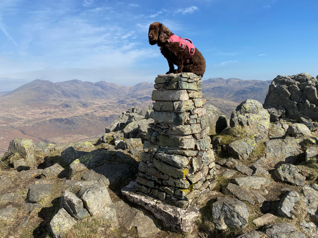
........... and this time solo
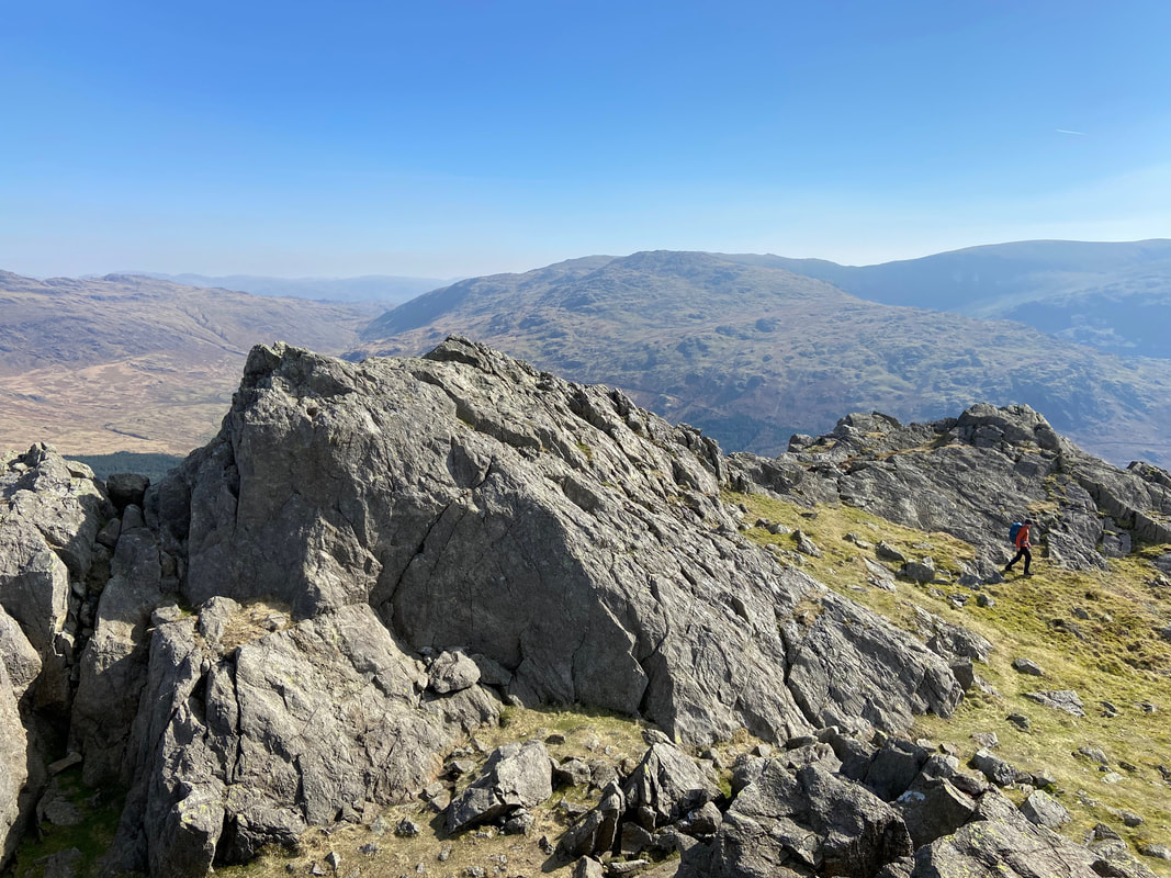
Below the rock tor summit of Harter Fell
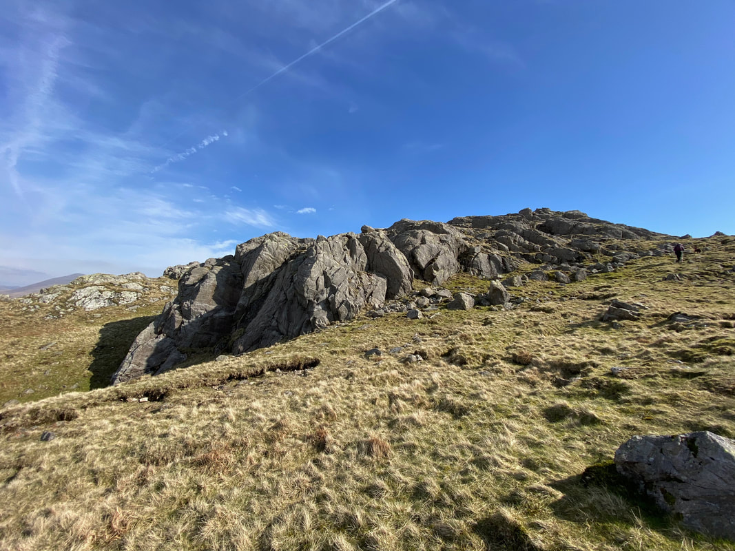
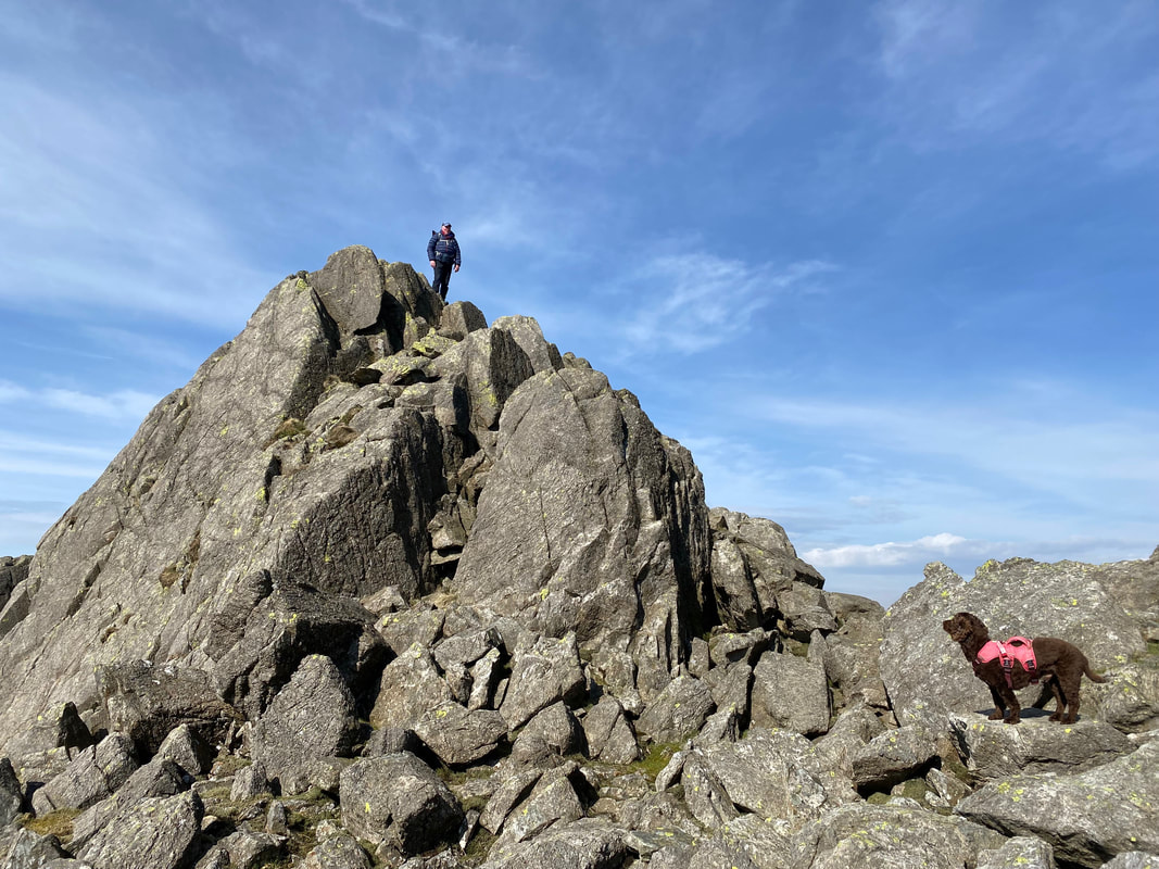
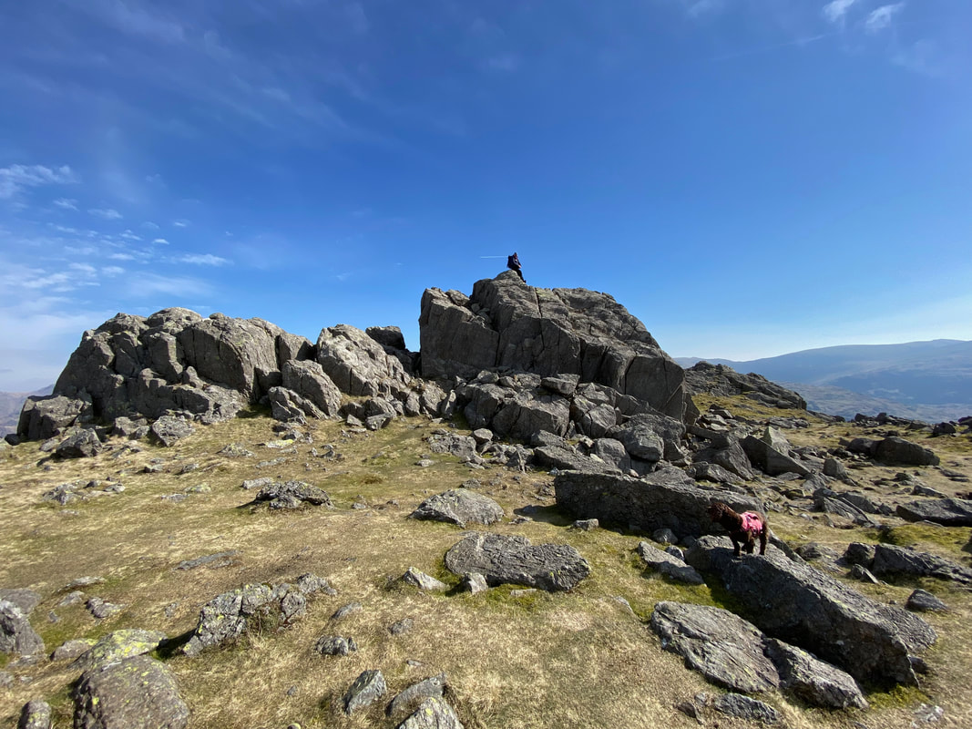
On the summit of Harter Fell - the best approach is to the right from where the top is reached via an easy scramble
The summit of Harter Fell
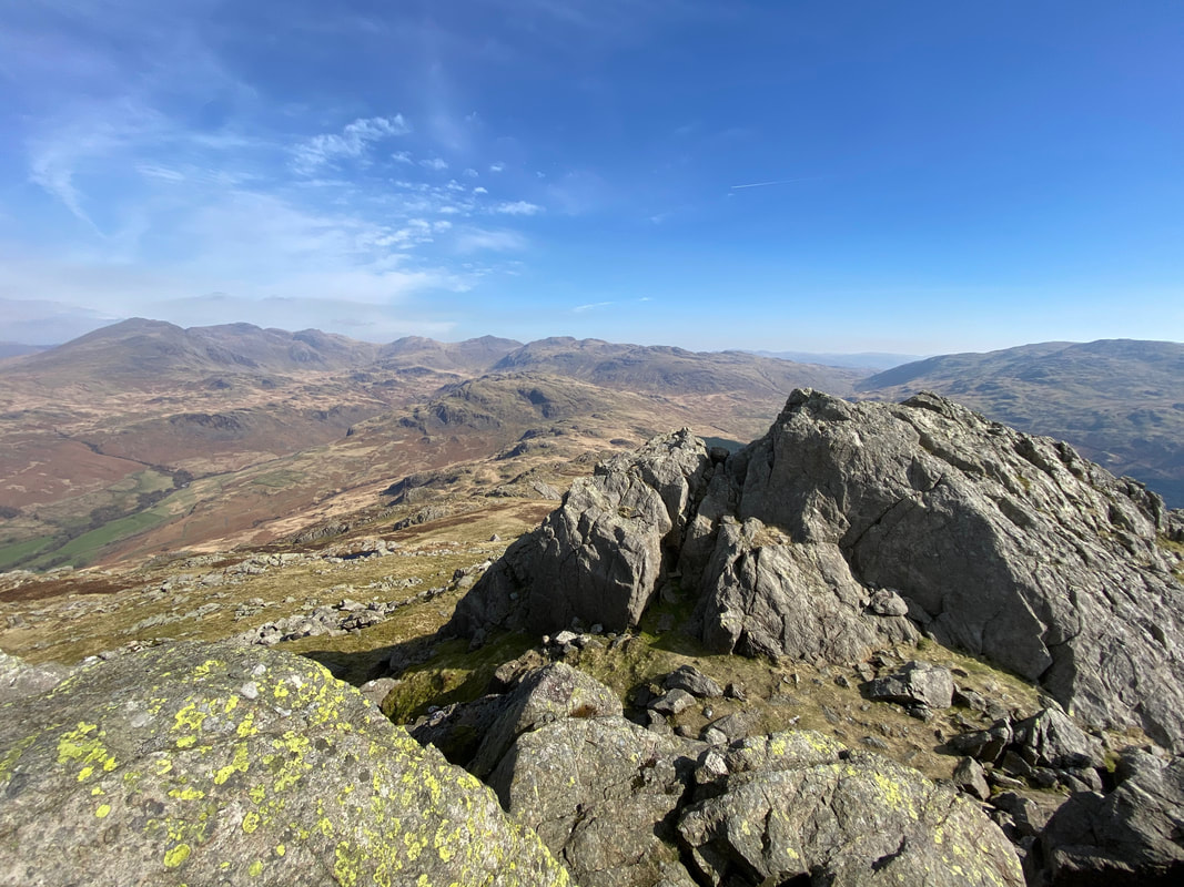
The superb view to the head of Eskdale, the Scafells, Bowfell & Crinkle Crags from Harter Fell's summit
Angie & Fudge wait for me as I look down on them from the summit
Looking to Grey Friar from the summit
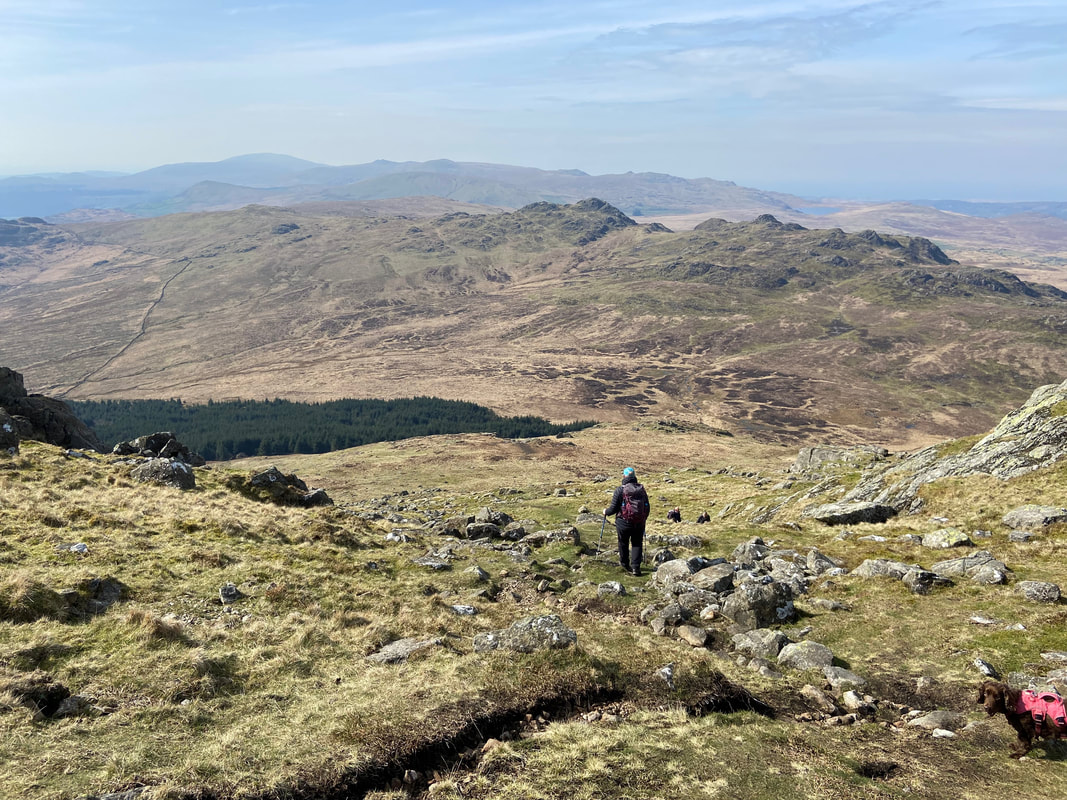
From Harter Fell we returned to the path junction and headed down the steep slope aiming for the right hand edge of the forest
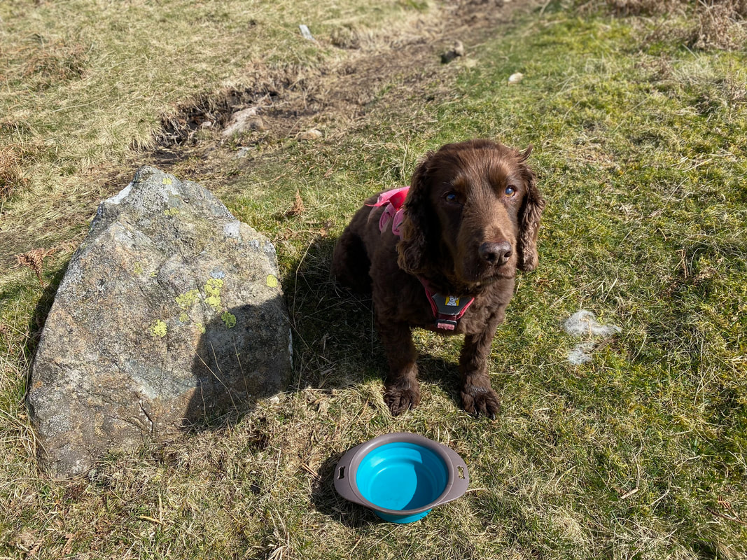
Above the forest edge we stopped for lunch as Fudge tries to convince us that we failed to fill his bowl up
Approaching the forest edge with Green Crag ahead
The route passes the entrance to Hardknott Forest. The path on the other side of the gate leads to Grassguards and ultimately the hamlet of Seathwaite and The Newfield Inn. Turning right here leads back to Wha House Bridge & Jubilee Bridge.
Having negotiated the boggy section we pass along more solid ground with the backdrop of Harter Fell
Green Crag is now over to our left with Long Crag to the right
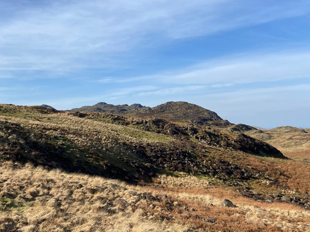
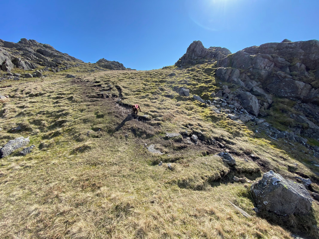
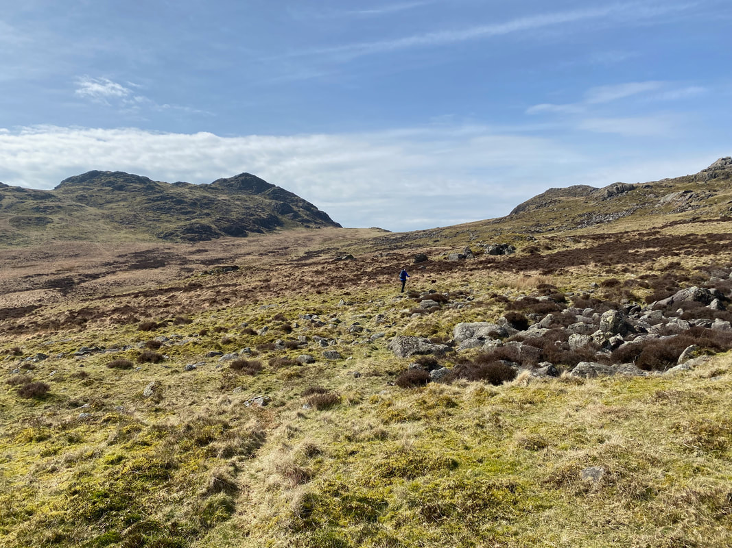
The final approach to Green Crag heads to the left of a section of rocky outcrops up a grassy rake
The Pike, Crook Crag & Great Whinscale from the approach to Green Crag
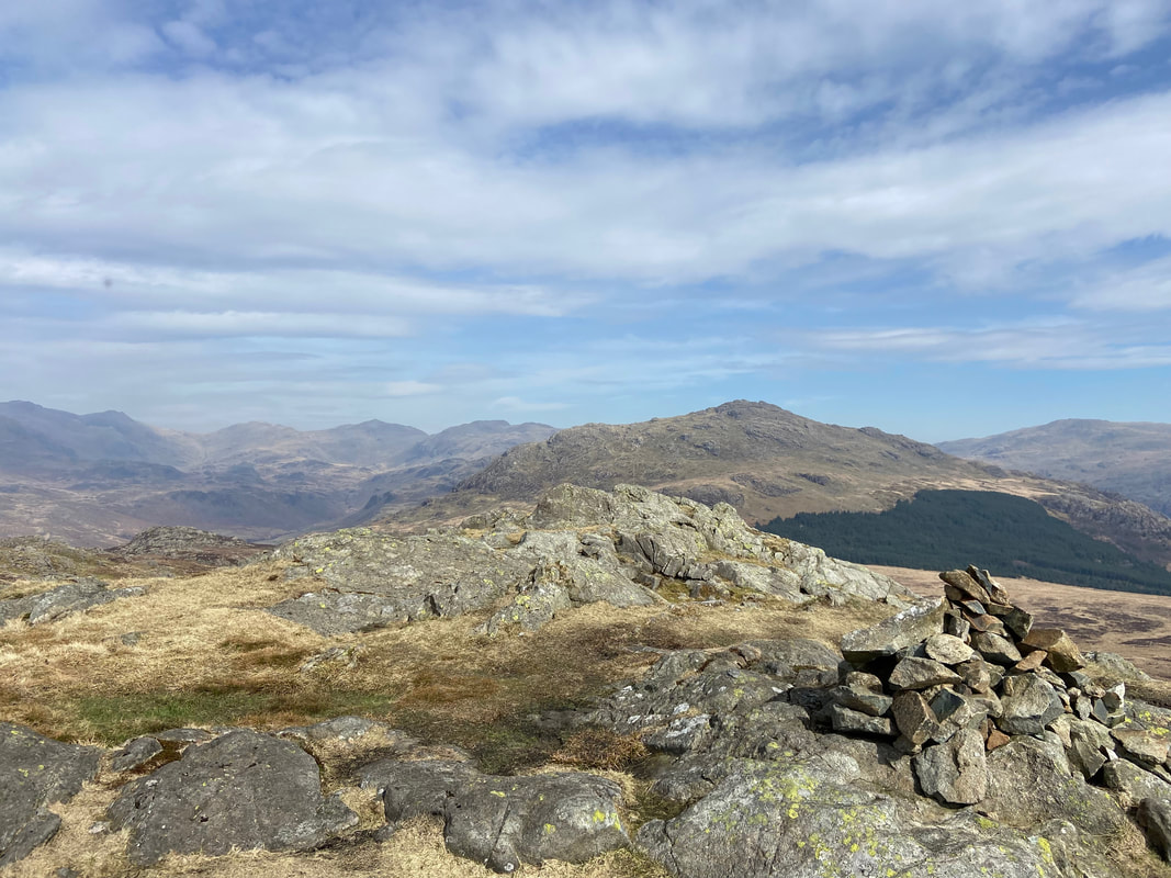
The summit of Green Crag looking to the Scafells, Esk Pike, Bowfell and Crinkle Crags
Harter Fell from the summit of Green Crag
Broad Crag & Great Crag from Green Crag - the body of water in the distance is Devoke
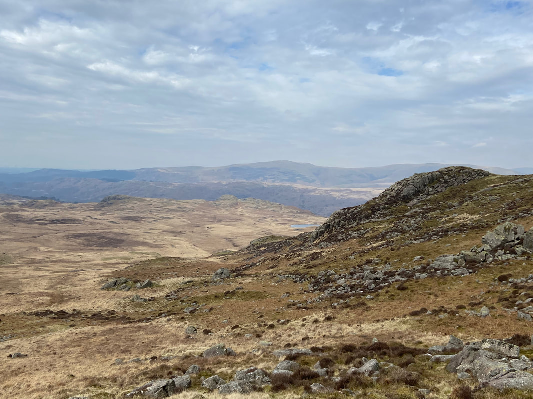
From the summit of Green Crag we headed back to the col below The Pike. From here an indistinct path curves around the lower slopes of Crook Crag and heads towards Low Birker Tarn which can be seen in the distance.
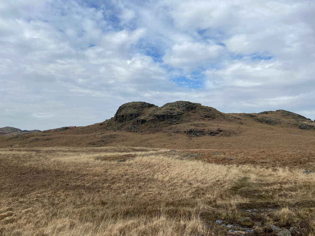
Tarn Crag
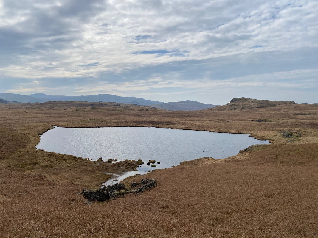
Low Birker Tarn
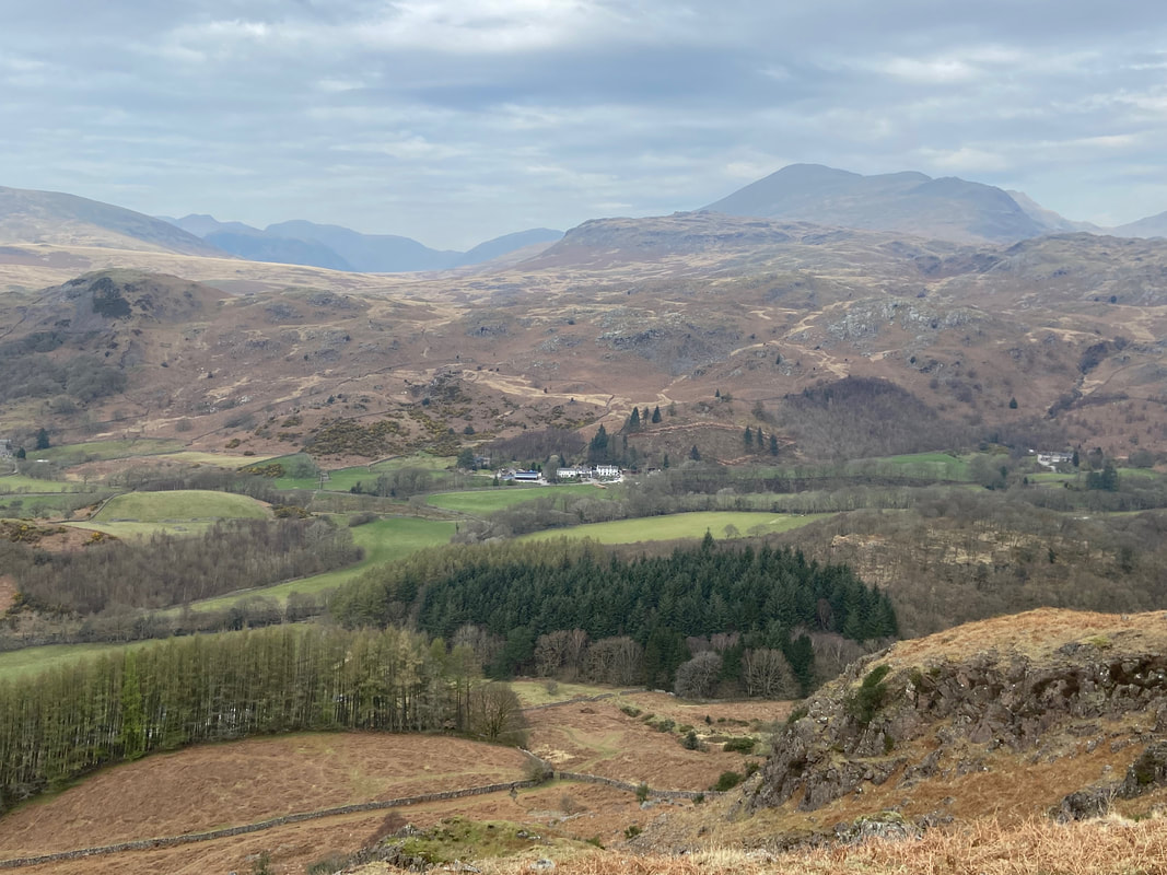
The Woolpack Inn sits below us as we begin our descent back to Eskdale
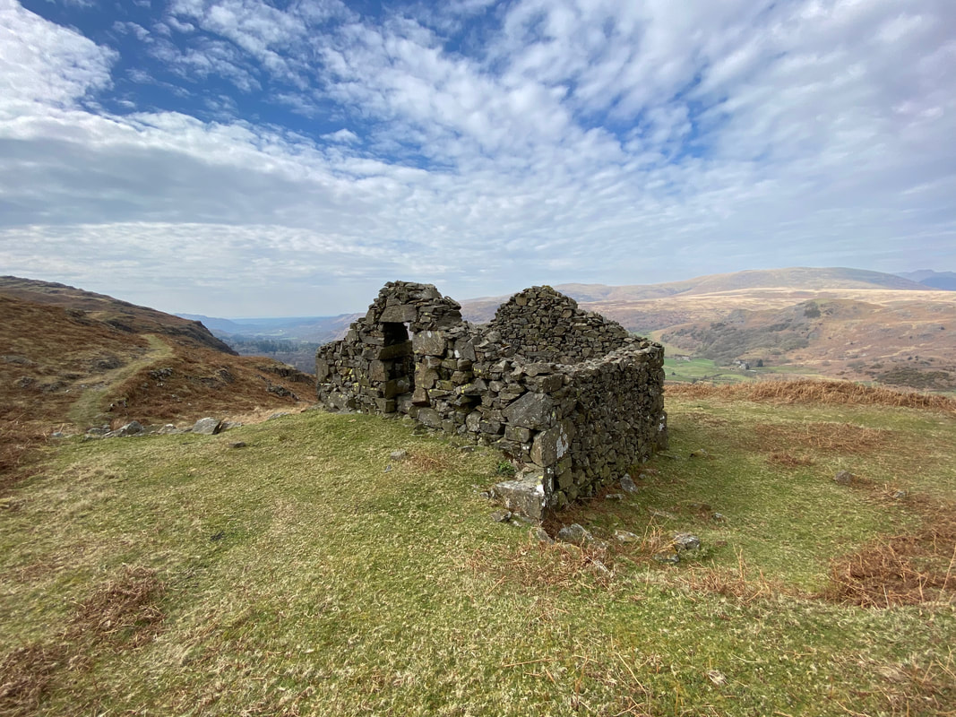
Passing the remains of a peat hut - used for storing, you've guessed it - peat!
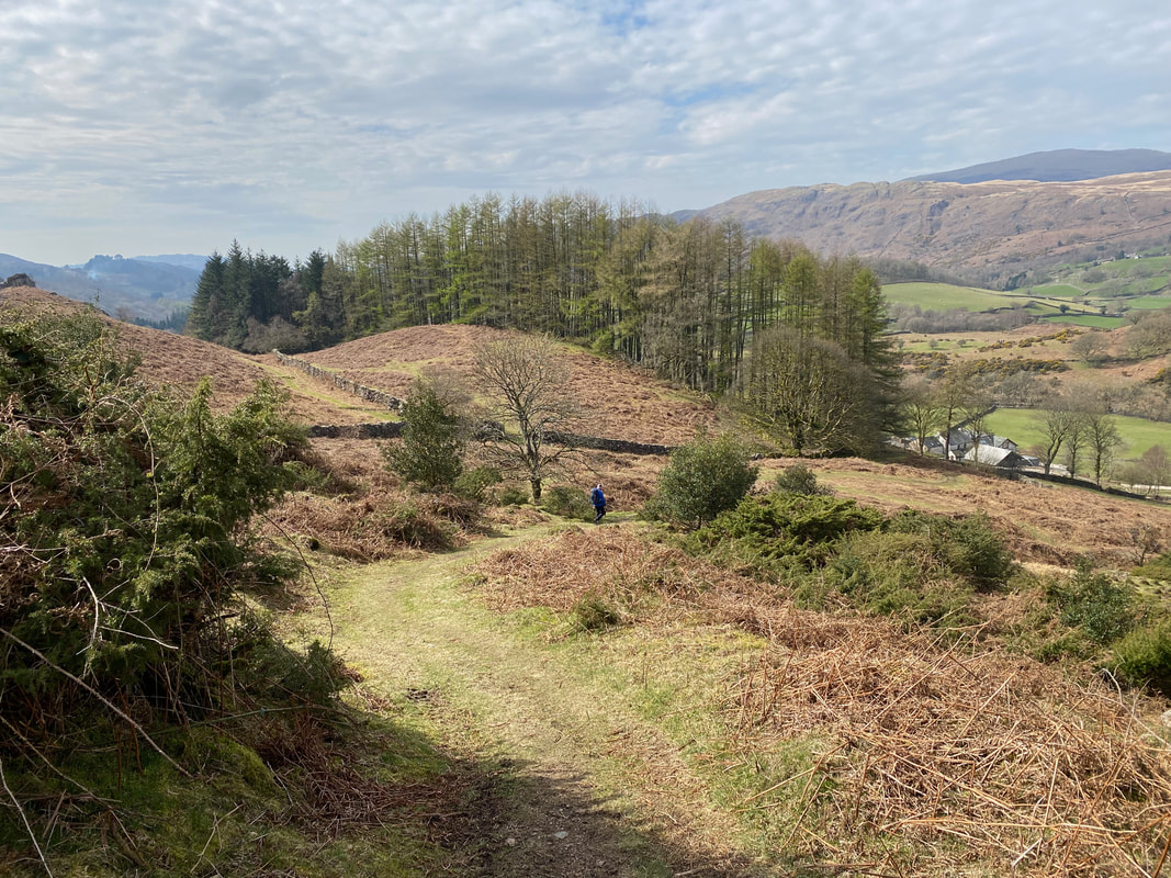
The path meanders its way down gently to the farm at Low Birker
Our route descends along what was once an old peat track from Low Birker leading to the ruined hut which is now behind us
Still on the peat track, a kissing gate is reached above Low Birker
The final approach to Low Birker which can be seen below on the right
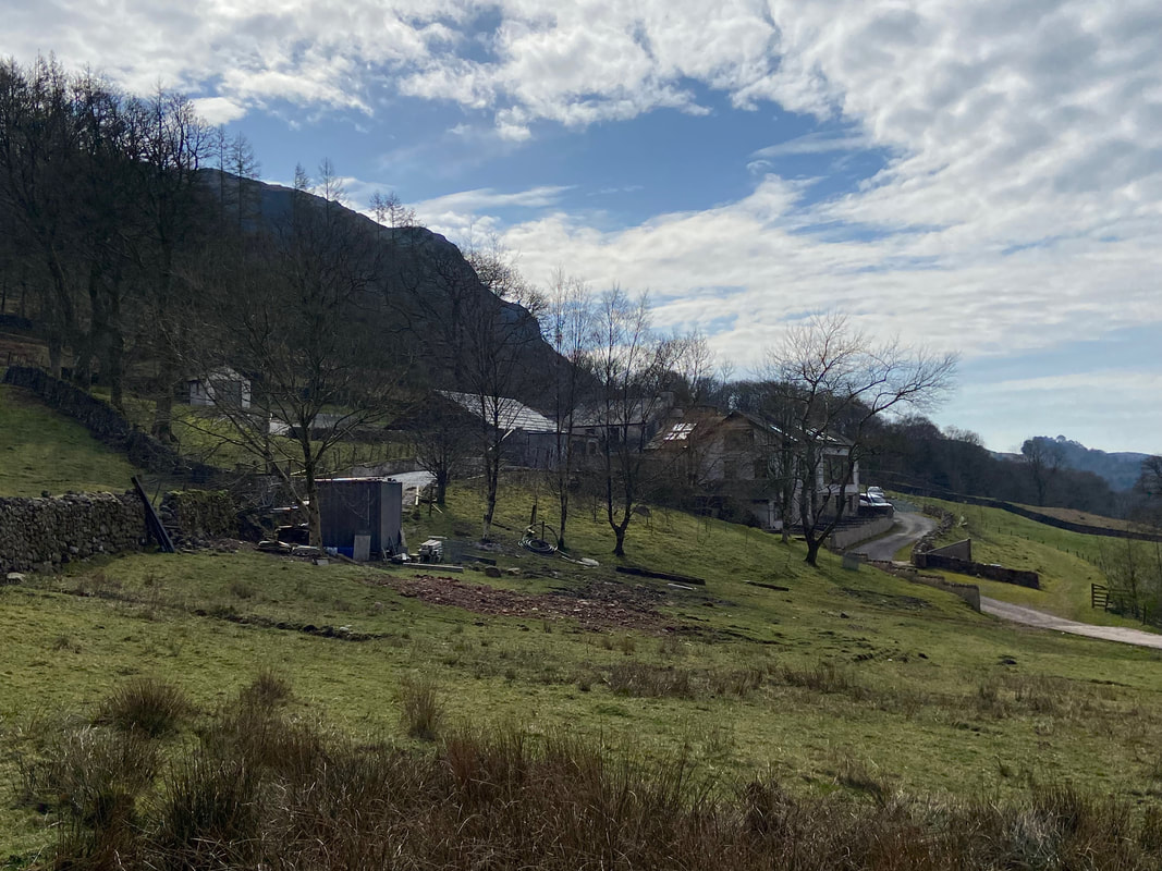
The farm at Low Birker which also houses a holiday let sleeping 10 people
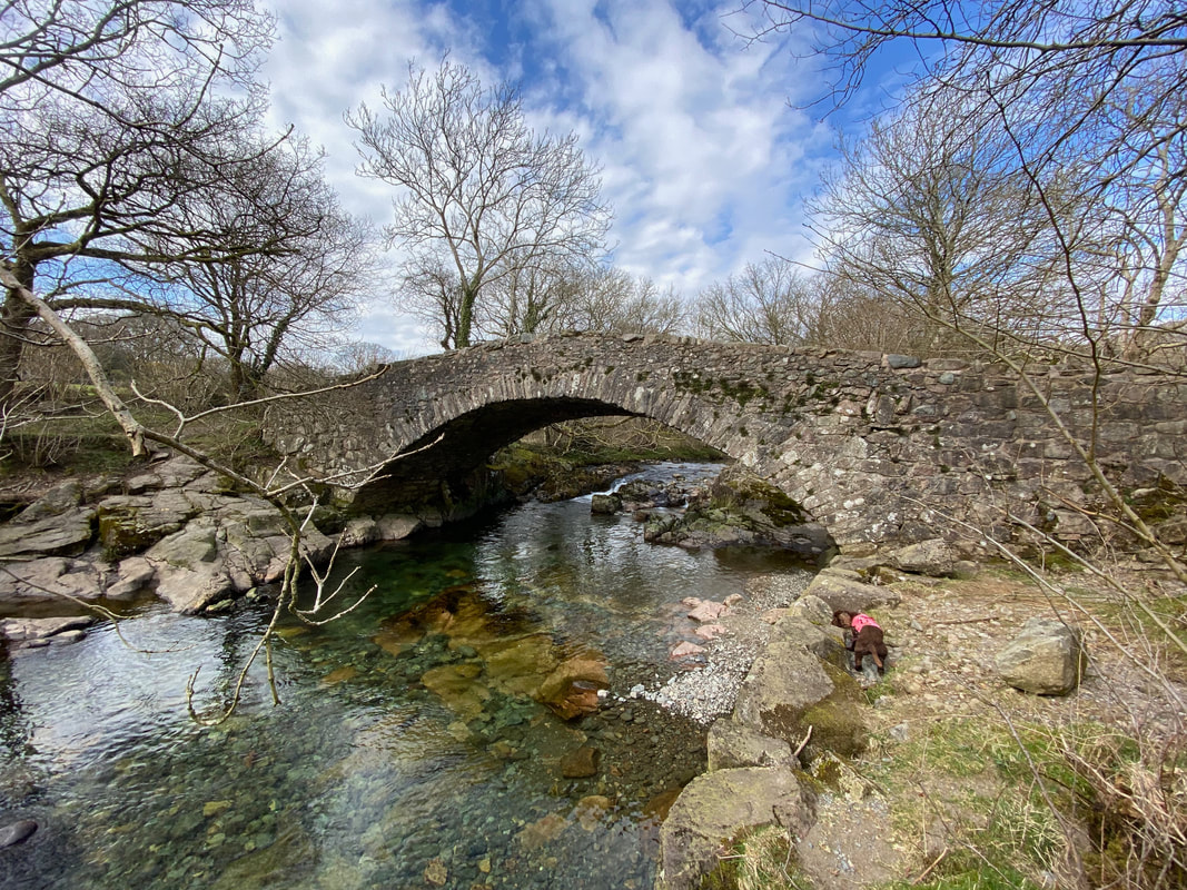
The very picturesque Doctor Bridge. The bridge spans the River Esk, was originally very narrow and therefore widened in 1734 by local surgeon Edward Tyson in order that his pony & trap could pass over it. It is presumed that this is where the name originates from.
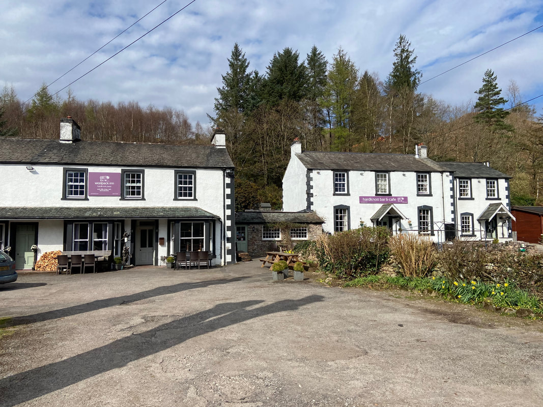
The Woolpack Inn, Eskdale - the venue for our post walk drink. Angie & Fudge stayed here whilst I wandered along to Wha House to collect the car.
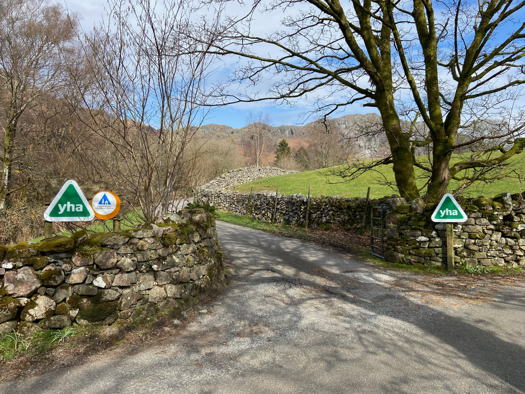
Near Wha House is the entrance to YHA Eskdale
