Ullock Pike, Long Side, Carl Side, Skiddaw & Skiddaw Little Man - Thursday 14 February 2019
Route
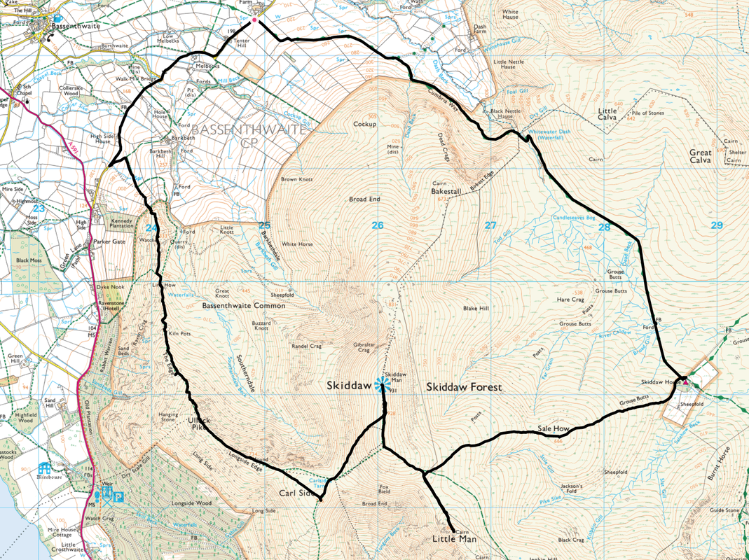
Peter House Farm - Melbecks - Walk Mill Bridge - Watches - Ling How - Kiln Pots - The Edge - Ullock Pike - Longside Edge - Long Side - Carl Side - Carlside Tarn - Skiddaw - Little Man - Sale How - Skiddaw House - Cumbria Way - Whitewater Dash - Peter House Farm
Parking
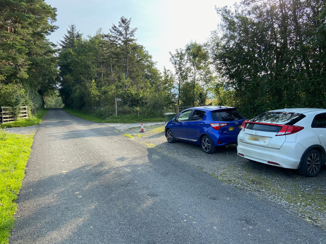
Peter House Farm (Donation - see below) - Grid Ref NY249323. Nearest Postcode is CA12 4QY. There are two verge parking areas 100 yards apart with room for a total of approximately 14 cars.
Mileage
11.6 miles
Terrain
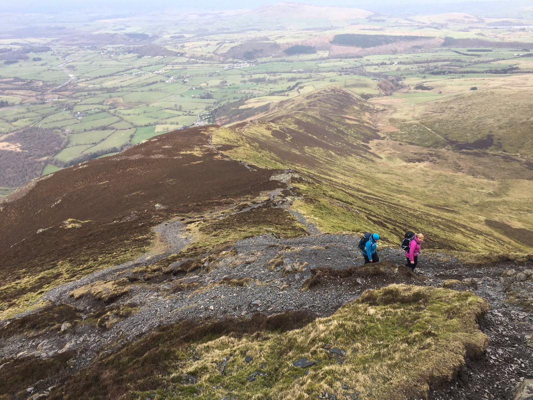
Good mountain paths & ridges with some road walking for a mile and a quarter along a quiet lane at the start of the walk. The path from Carl Side to Skiddaw is steep for the final 300 yards and contains loose stone but is not overly difficult in dry conditions. After a lot of rain and in ice & snow this path is best left alone.
Weather
Overcast with the odd sunny spell. As usual Skiddaw's summit ridge was extremely windy. The visibility today was very good.
Time Taken
6hrs 30mins
Total Ascent
3343ft (1019m)
Wainwrights
5
Map
OL4 - The English Lakes (North Western Area)
Walkers
Dave, Angie & Fudge with Lee & Karen James
|
GPX File
|
| ||
If the above GPX file fails to download or presents itself as an XML file once downloaded then please feel free to contact me and I will send you the GPX file via e-mail.
Route Map
The parking area at Peter House Farm. In addition to this area which fits about 7 cars (unless you arrive on a day when one plonker decides to park like this) there are another 6 or so parking spaces just 100 yards up the lane.
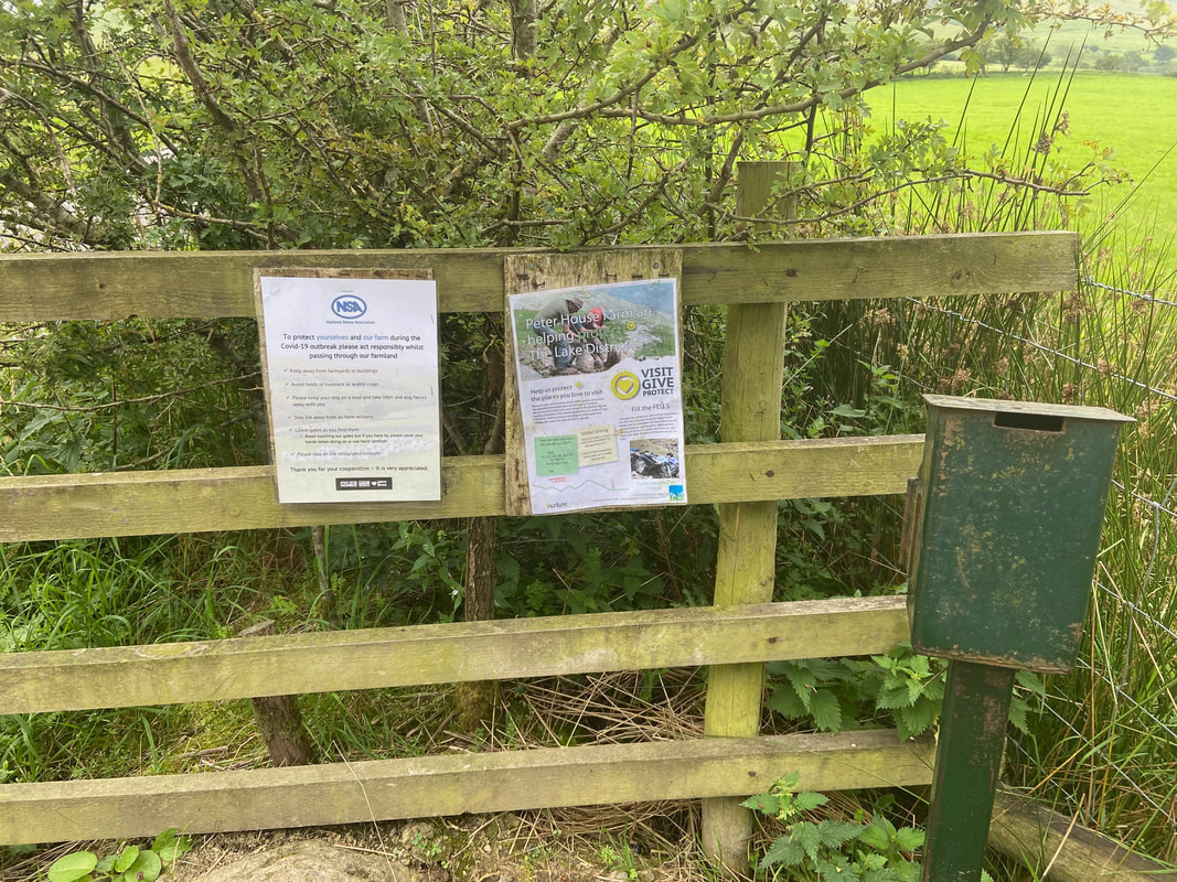
The Car Park donation box opposite Peter House Farm - drop a couple of quid in before you set out.
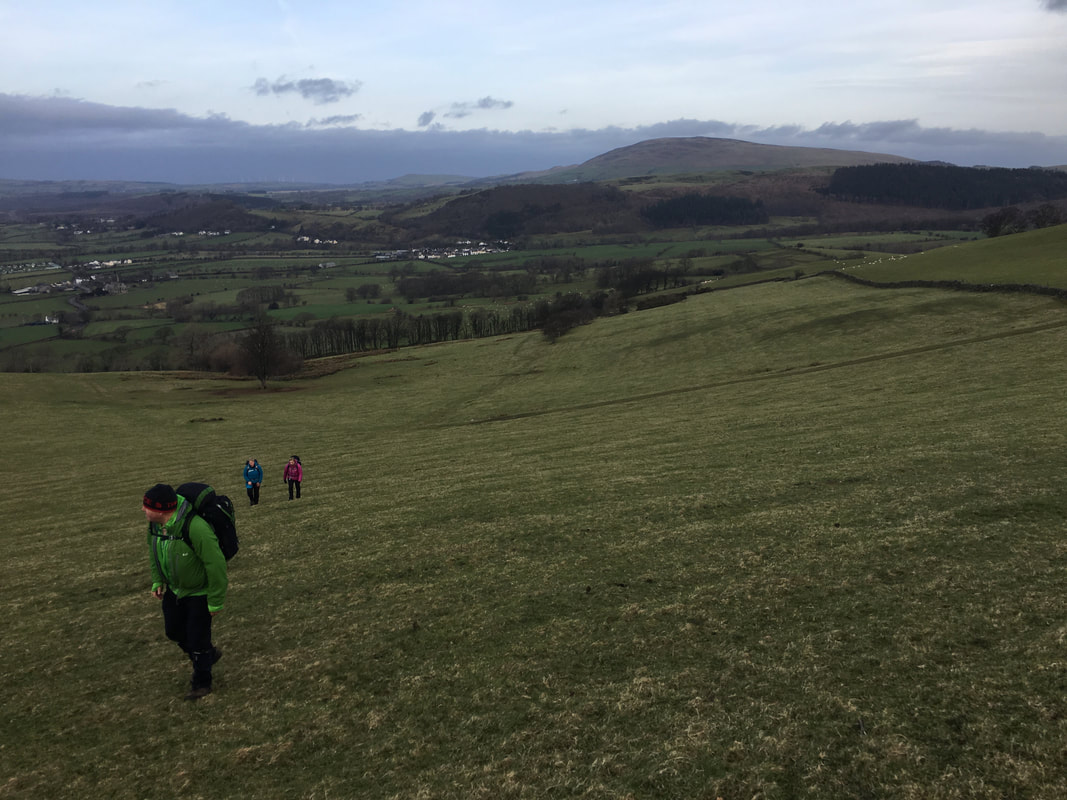
From the Car Park at Peter House Farm there is a walk along a quiet lane for just over a mile. When High Side House is reached, a quarter of a mile further on a path leaves the road on the left. This path heads up over farmland towards Watches with a good view of Binsey to the rear.
Ullock Pike's north ridge from the summit of Watches
Heading steeply up past Kiln Pots along The Edge to Ullock Pike looking back to Ling How & Watches
The summit of Ullock Pike provides a fine view of Bassenthwaite Lake
The valley of Southerndale, Randel Crag & the mighty Skiddaw
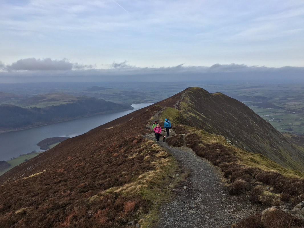
From Ullock Pike the route traverses along Longside Edge
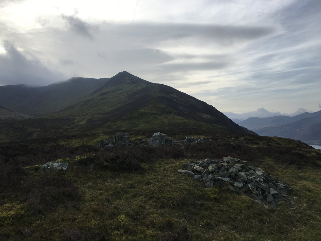
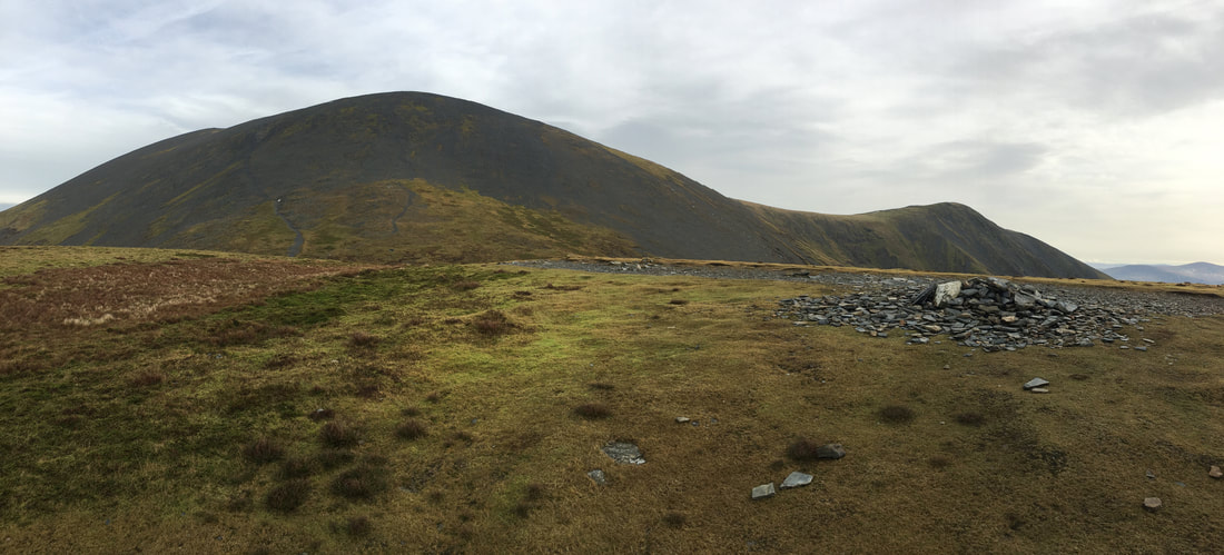
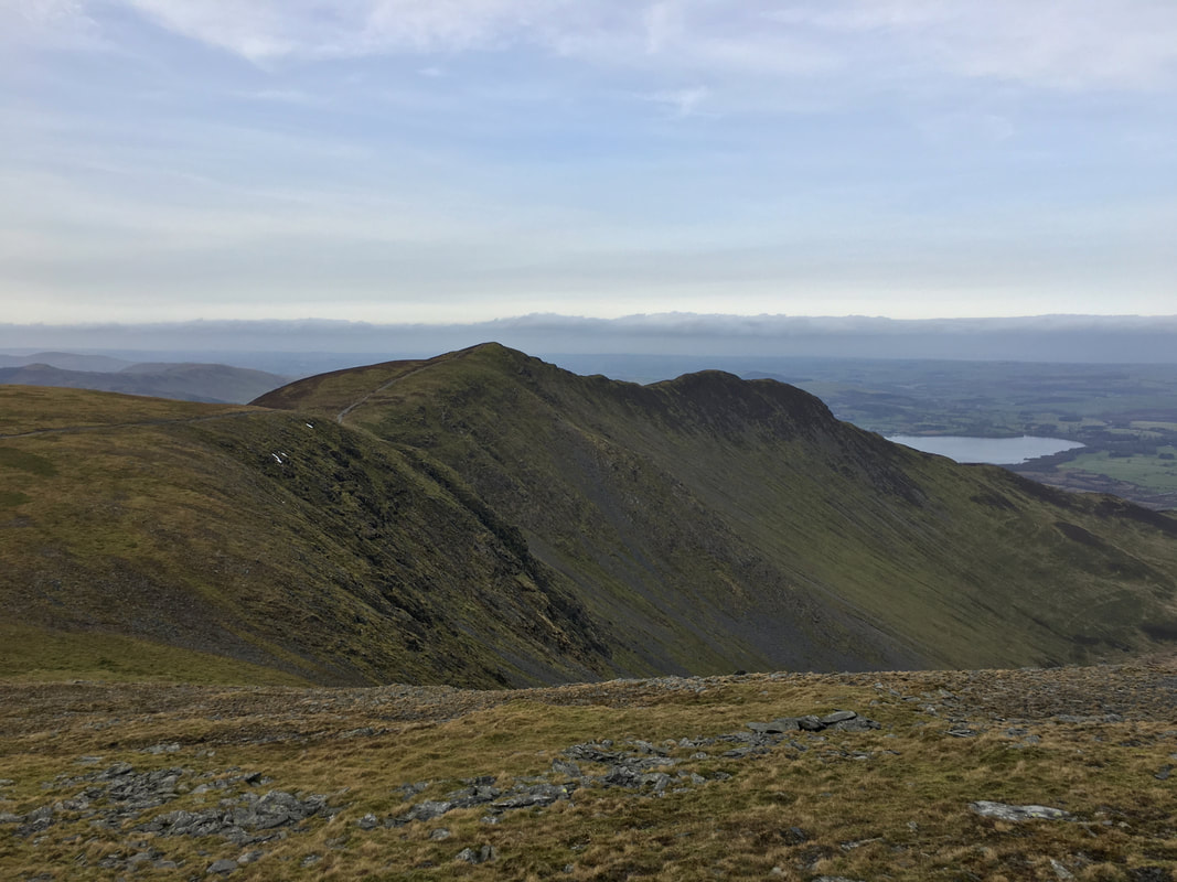
The summit of Long Side looking to Skiddaw with Little Man to the right. The next summit of Carl Side is ahead.
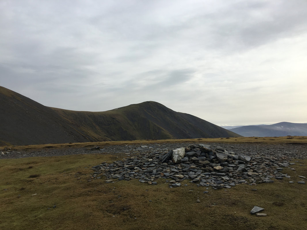
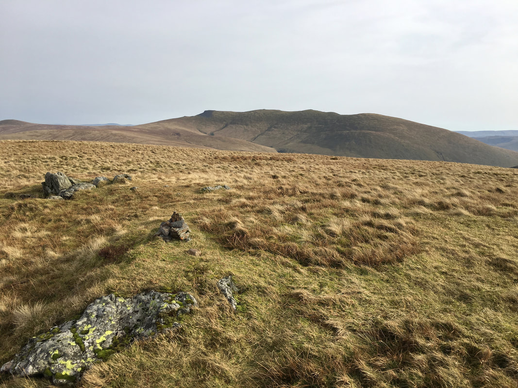
The summit of Carl Side looking to Little Man
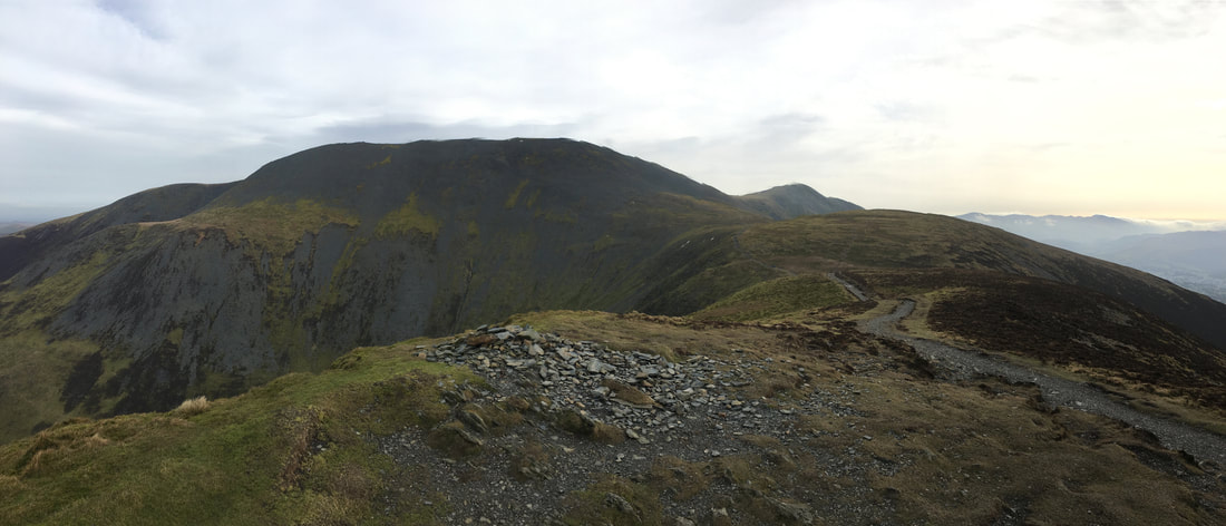
A panorama of Skiddaw & Little Man from Carl Side. Our path up Skiddaw can be seen on the left.
Ullock Pike from the ascent of Skiddaw
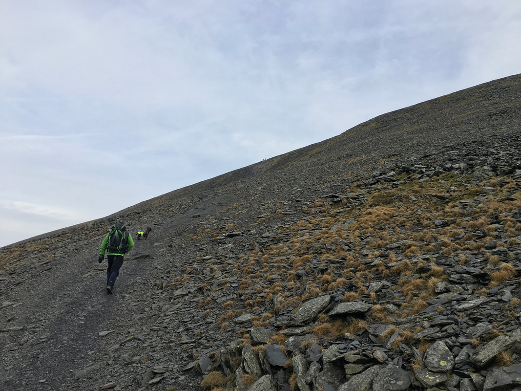
The scree path heading up to Skiddaw which starts near Carlside Tarn. Much is made as to the difficulty of this path - yes it is steep and over loose stone and scree but in the right conditions it is neither technical or difficult. In snow and ice and after prolonged heavy rain it is best avoided unless you have the necessary equipment.
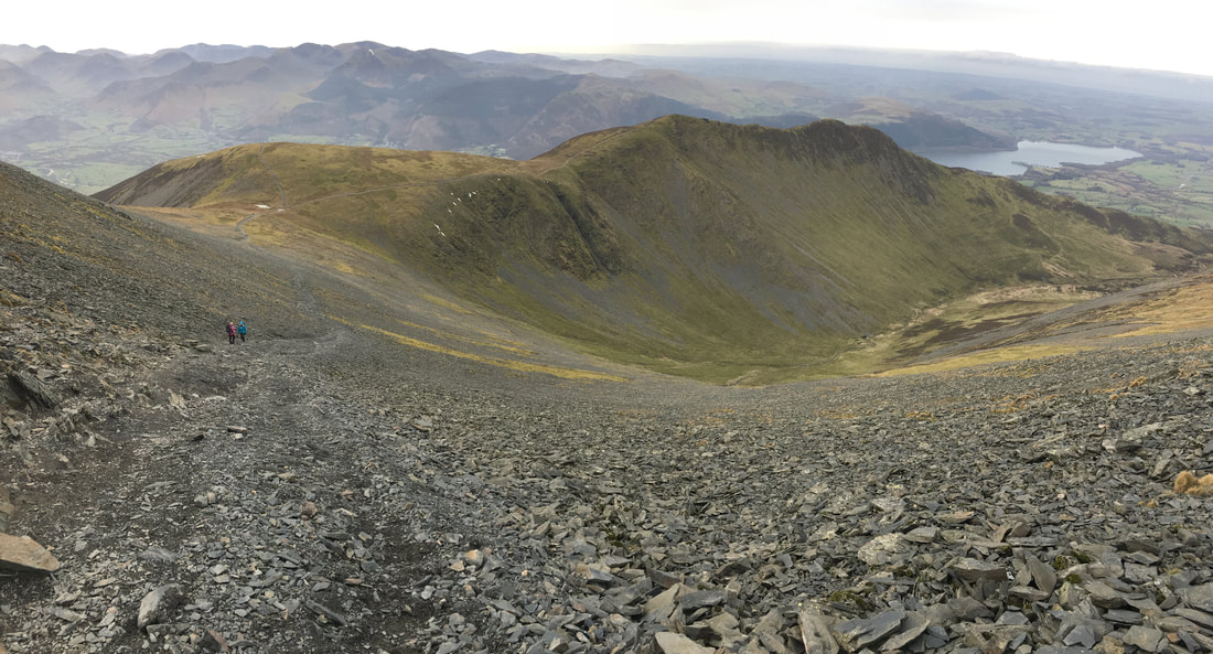
Looking back down the ascent of Skiddaw to our outward route - Carl Side, Long Side & Ullock Pike
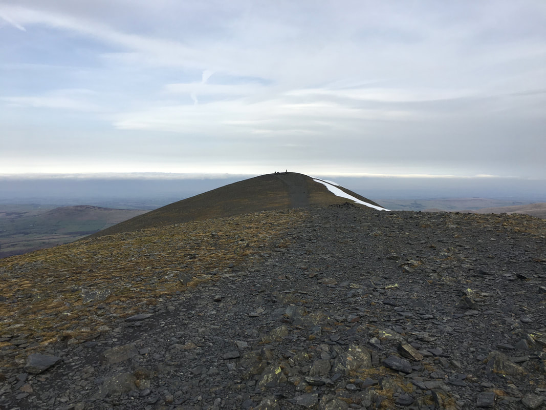
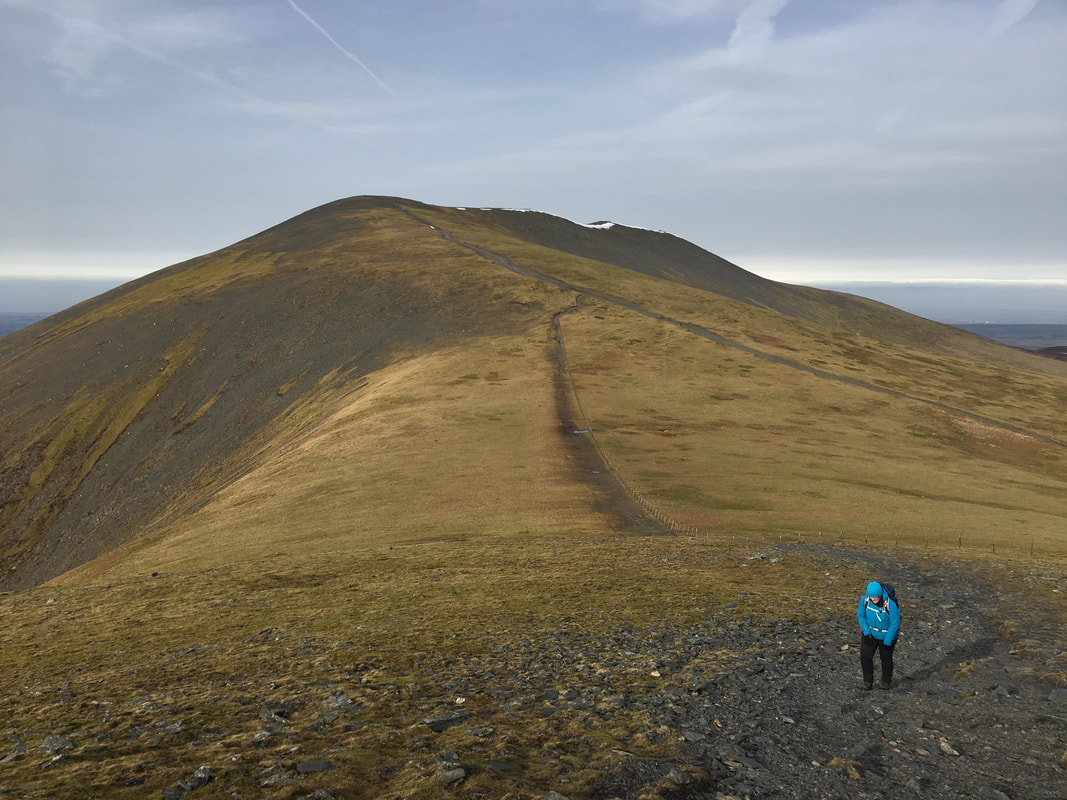
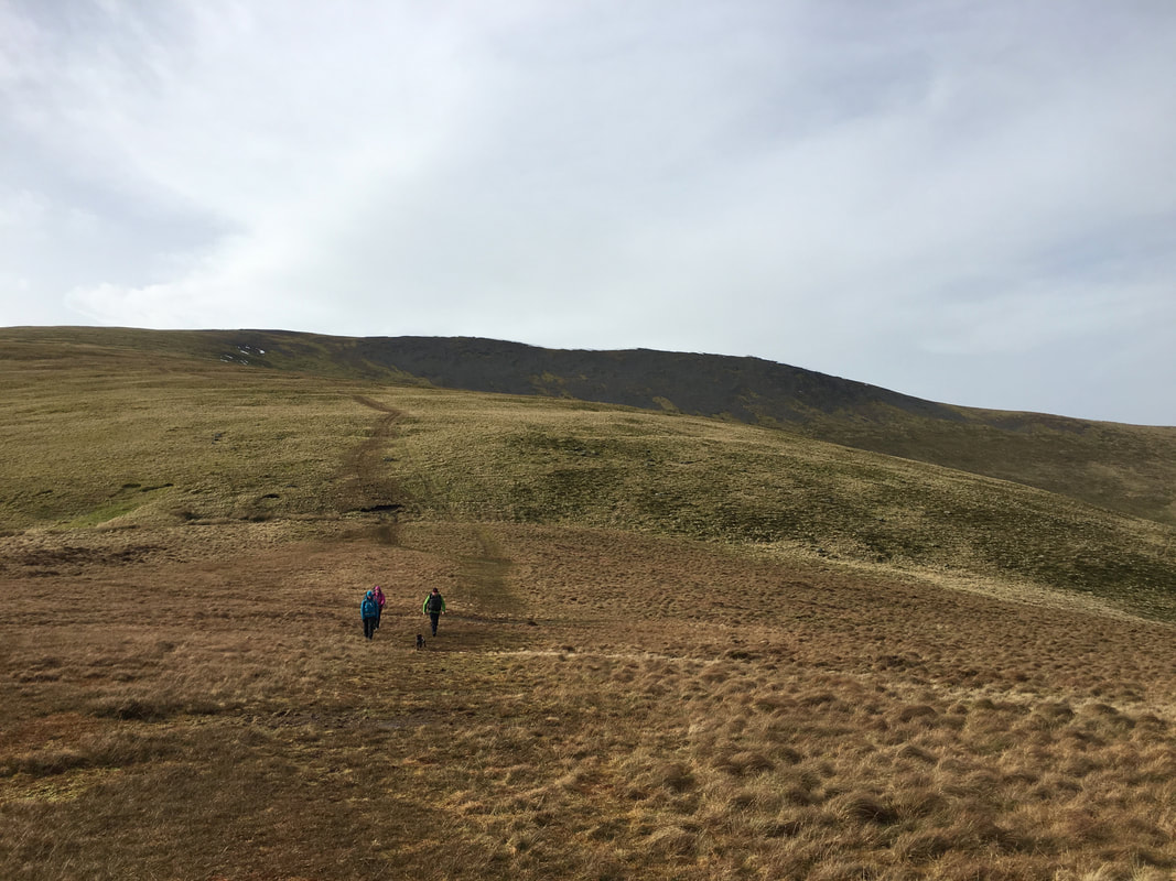
After a steep ascent the summit ridge of Skiddaw is reached - all that is left to gain the summit is a leisurely amble.
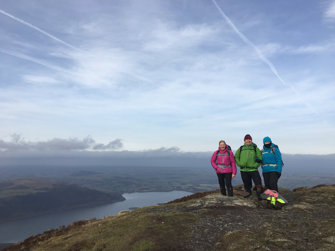
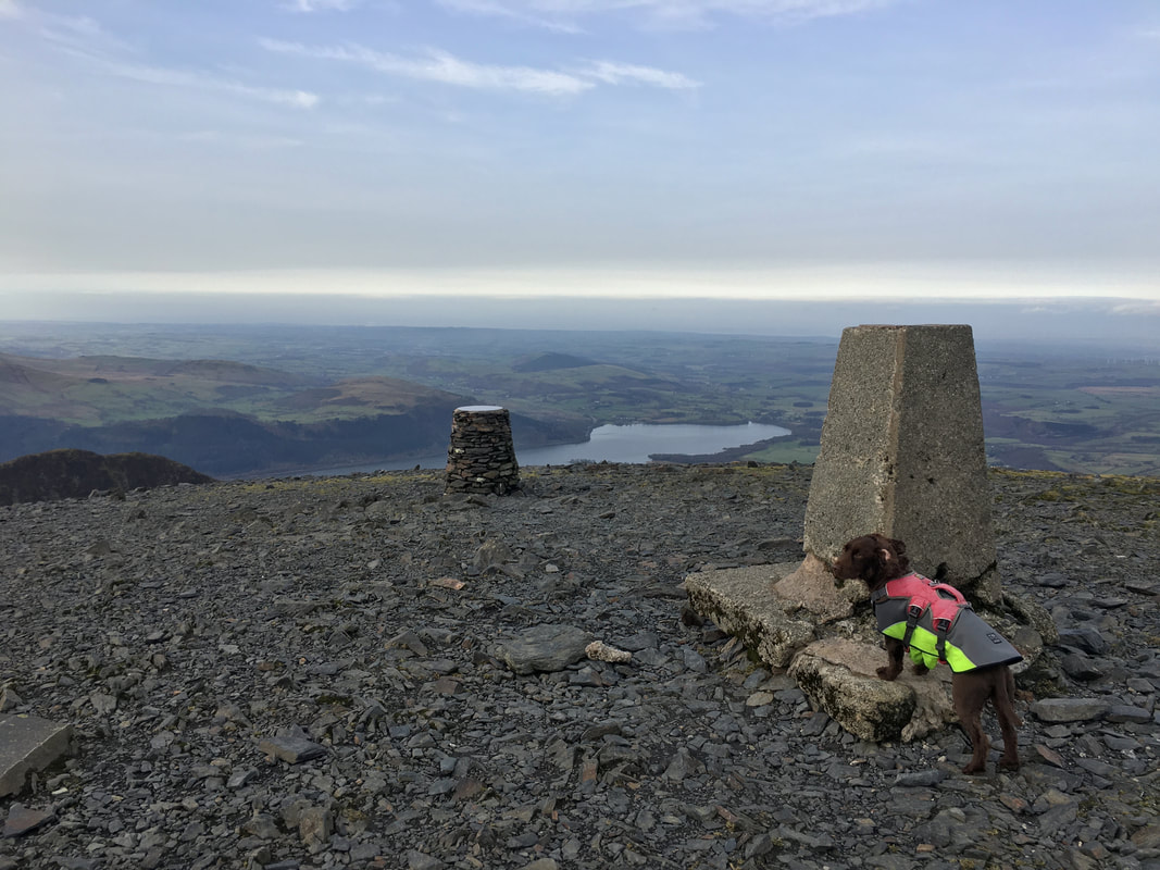
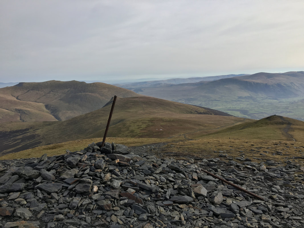
The summit of Skiddaw with Trig Point, posing pooch & toposcope
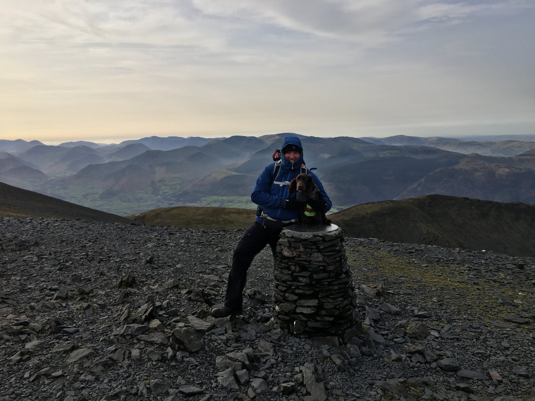
With Fudge on the summit of Skiddaw with layers and layers of fells to the rear
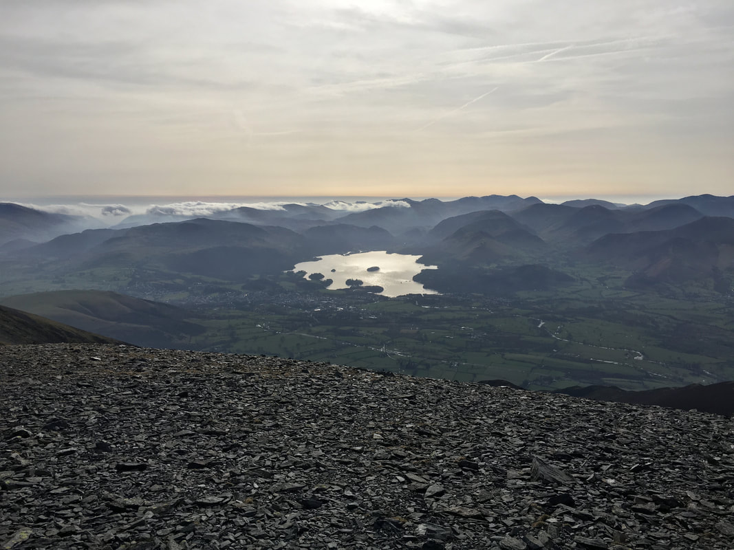
Keswick, Derwentwater and the Central & North Western Fells through the gloom
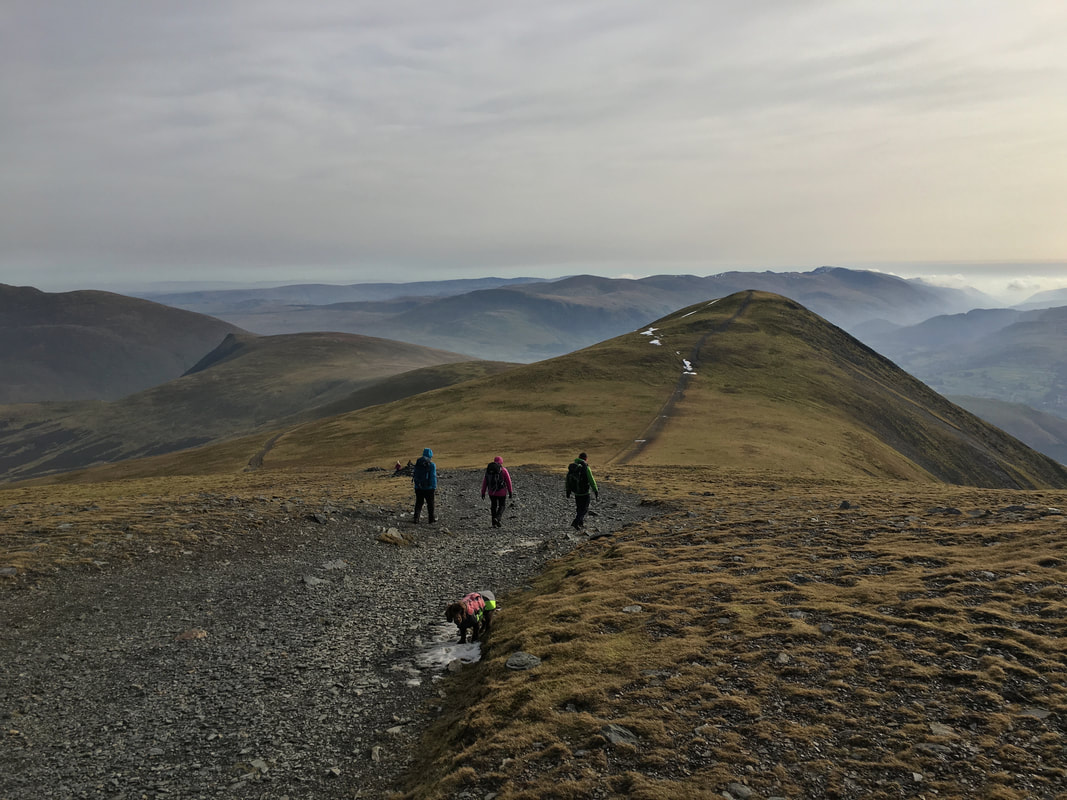
Heading for Skiddaw Little Man with Lonscale Fell to the left - the Helvellyn range is in the far distance over Little Man. As can be seen, Fudge wants to arse about in a very small patch of snow.
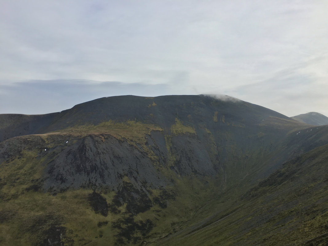
Looking back to Skiddaw from the ascent of Little Man
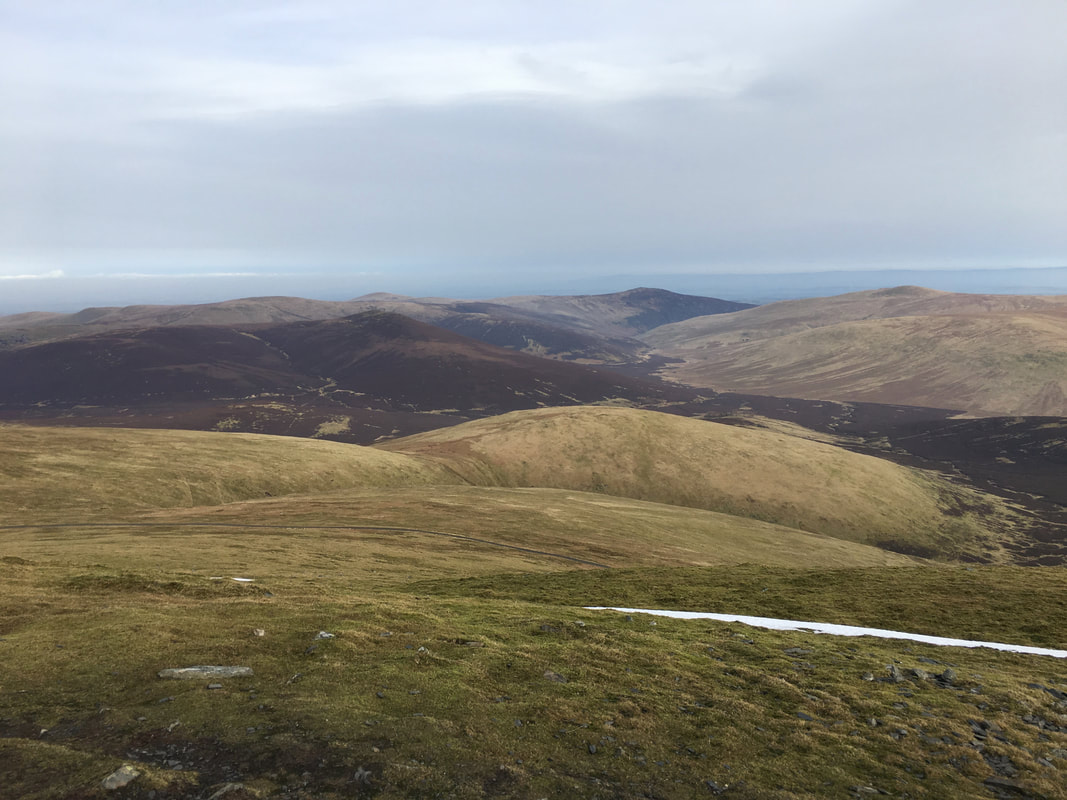
Sale How from Little Man with Great Calva, Knott, High Pike, Carrock Fell & Bowscale Fell to the rear
The summit of Skiddaw Little Man looking to Blencathra, Lonscale Fell & Lesser Man
From Little Man we retraced our steps back to the col to then turn right for Sale How
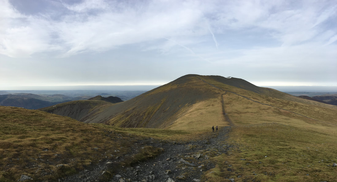
The path to Sale How looking back to Skiddaw
The summit of Sale How
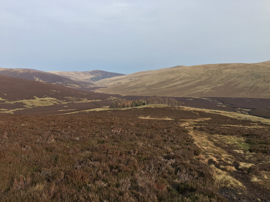
This large expanse of land is known as Skiddaw Forest however apart from the cluster of trees that encircle Skiddaw House ahead there is an absence of anything remotely "forest like".
Skiddaw House - the building is now an independent hostel. It was built as a gamekeeper's lodge in the 1800s and first began providing accommodation to walkers, runners and bikers in 1987. It is not accessible by car.
Great Calva from The Cumbria Way path
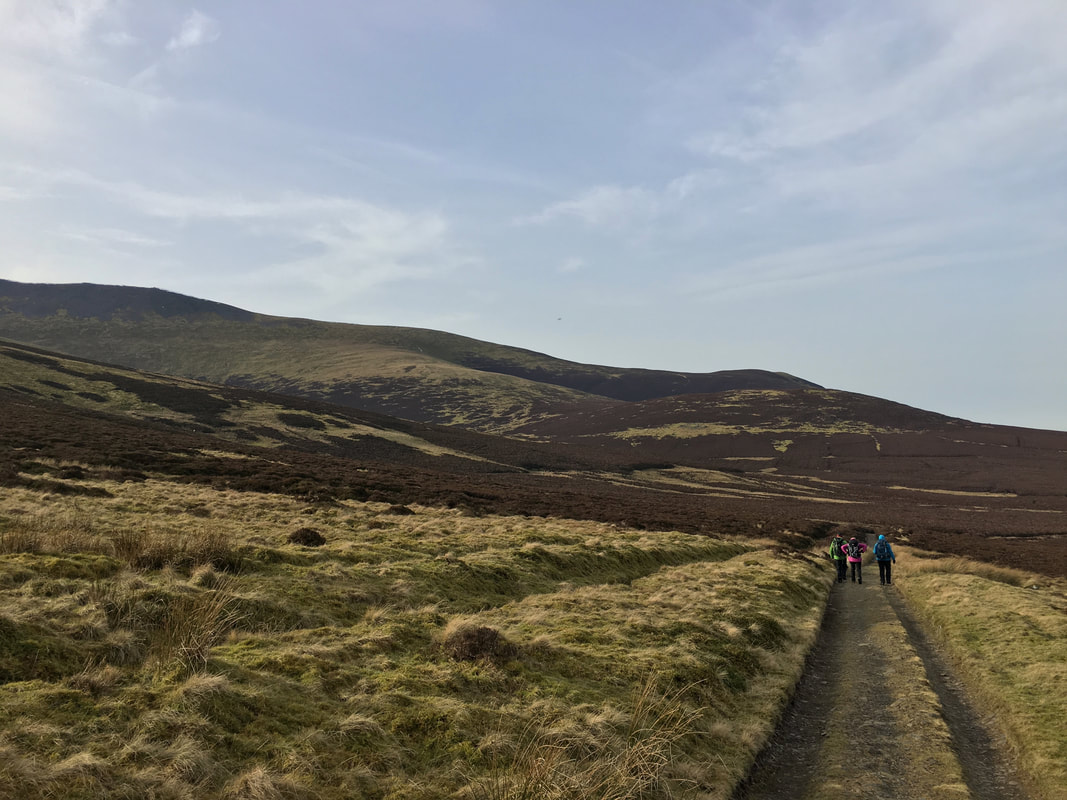
From Skiddaw House it is a delightful 3 and a half mile walk back to Peter House Farm along The Cumbria Way
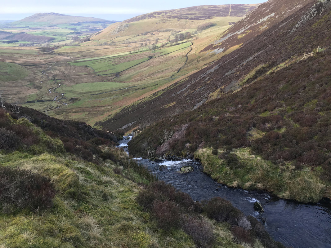
The top of Whitewater Dash
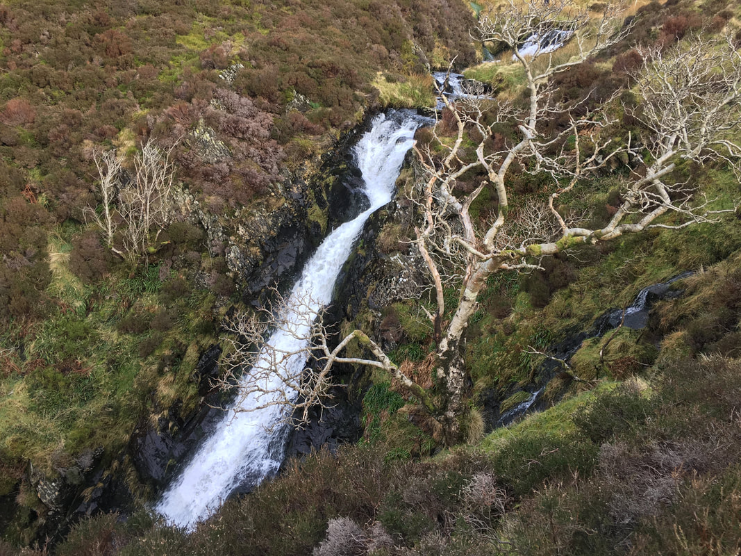
Whitewater Dash also known as Dash Falls
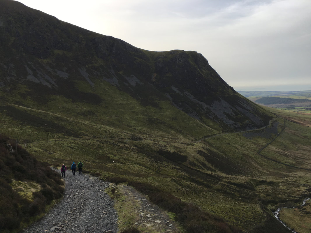
From Whitewater Dash the path descends along the base of Bakestall & Dead Crags
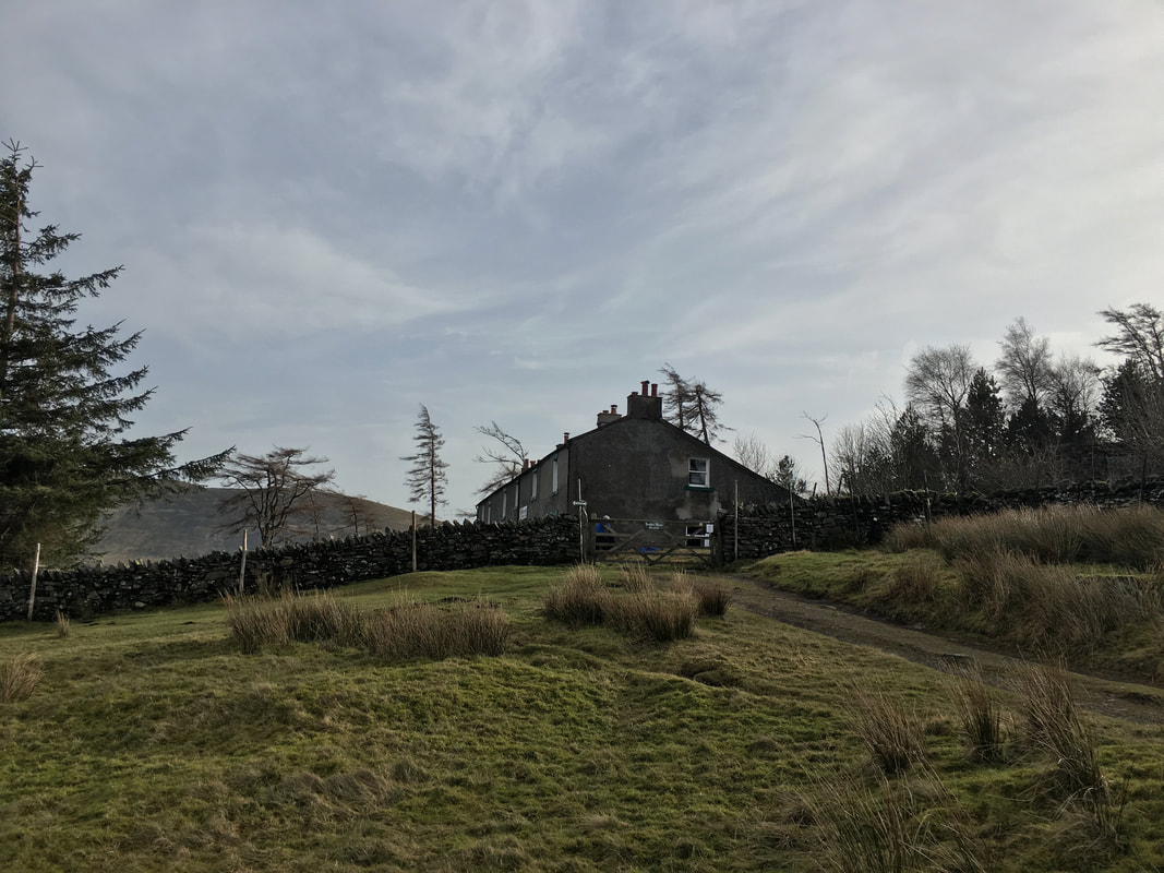
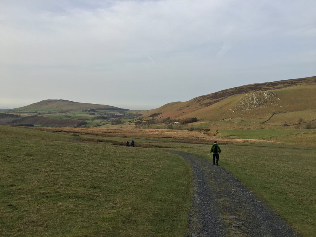
Approaching Peter House Farm looking to Binsey & Brockle Crag
