Dow Crag, Coniston Old Man & Brim Fell - Thursday 19 March 2020
Route
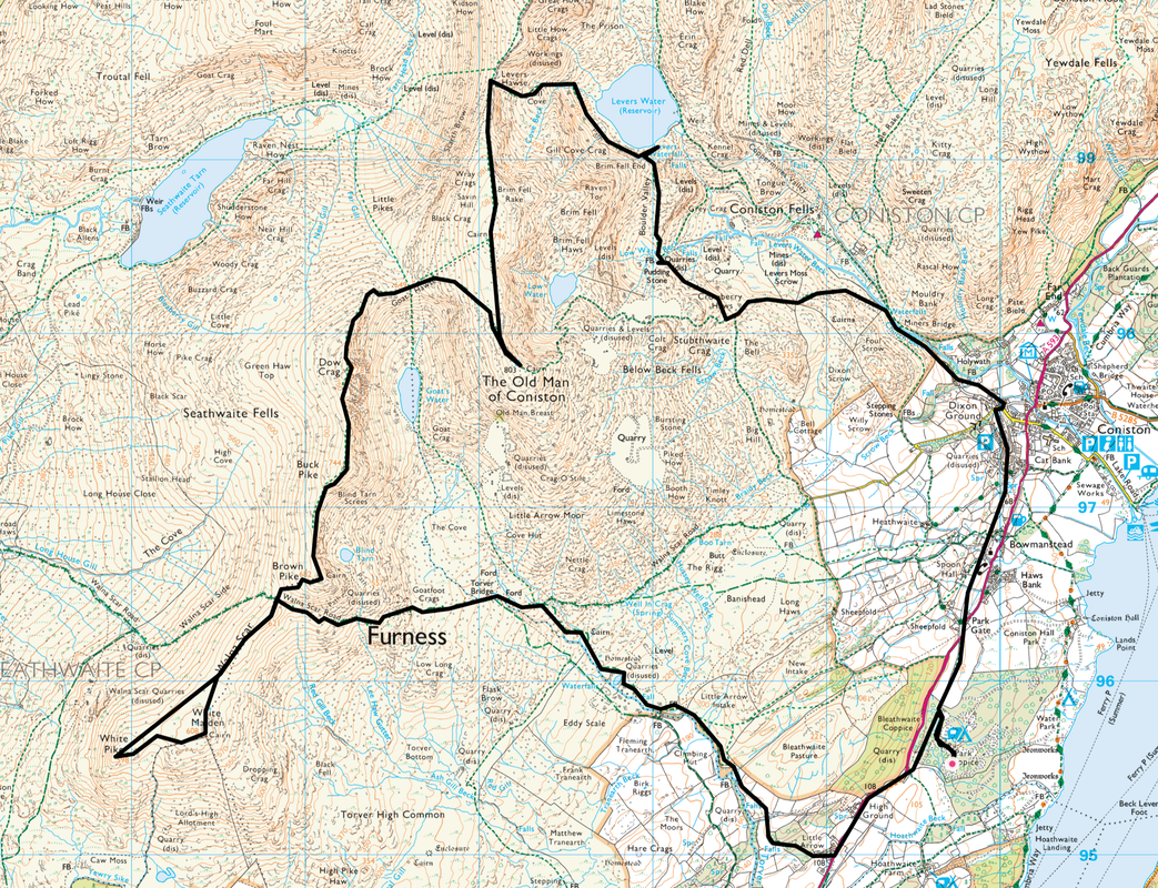
Park Coppice - Little Arrow - Eddy Scale - Walna Scar Road - Torver Bridge - Walna Scar - White Pike - White Maiden - Walna Scar - Walna Scar Road - Brown Pike - Buck Pike - Dow Crag - Goats Hawse - Coniston Old Man - Brim Fell - Levers Hawse - Gill Cove - Levers Water - Boulder Valley - Pudding Stone - Crowberry Haws - Miners Bridge - Coniston - Bowmanstead - Park Gate - Park Coppice
Parking
We started the walk from the Caravan Site at Park Coppice where we were staying however the walk can easily be started & finished in Coniston where there is plenty of free parking plus Pay & Display Car Parks.
Mileage
13.3 miles
Terrain
High level mountain paths for the most part. The descent from Levers Hawse to Levers Water via Gill Cove is steep and on loose stone in places therefore requires care to be taken.
Weather
Sunny spells with very little wind. Visibility was very good throughout.
Time Taken
7hrs 30mins
Total Ascent
3330ft (1015m)
Wainwrights
3 plus 1 Outlying Fell
Map
OL6 - The English Lakes (South Western Area)
Walkers
Dave, Angie & Fudge
|
GPX File
|
| ||
If the above GPX file fails to download or presents itself as an XML file once downloaded then please feel free to contact me and I will send you the GPX file via e-mail.
Route Map
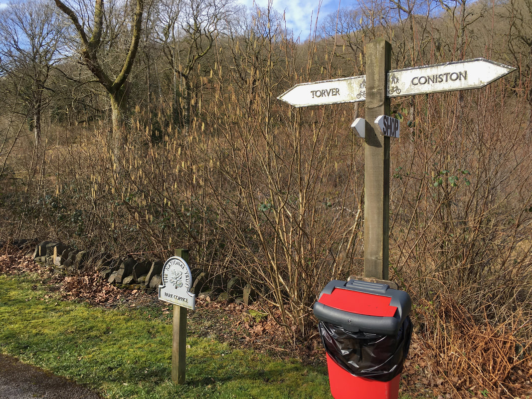
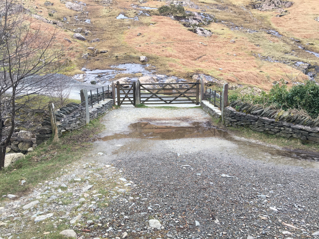
The start of the walk at the Public Footpath sign which is at the entrance to Park Coppice Caravan Site.
The route outlined above can easily be started from Coniston where there is plenty of free & Pay & Display parking to be found.
The route outlined above can easily be started from Coniston where there is plenty of free & Pay & Display parking to be found.
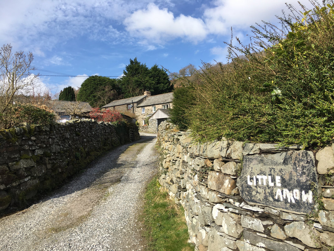
From Park Coppice the route continues along the Caravan Park Access Road, through the woods to emerge on to the A593 where a grass verge is followed to Little Arrow. The access track is on the opposite side of the road and is signposted.
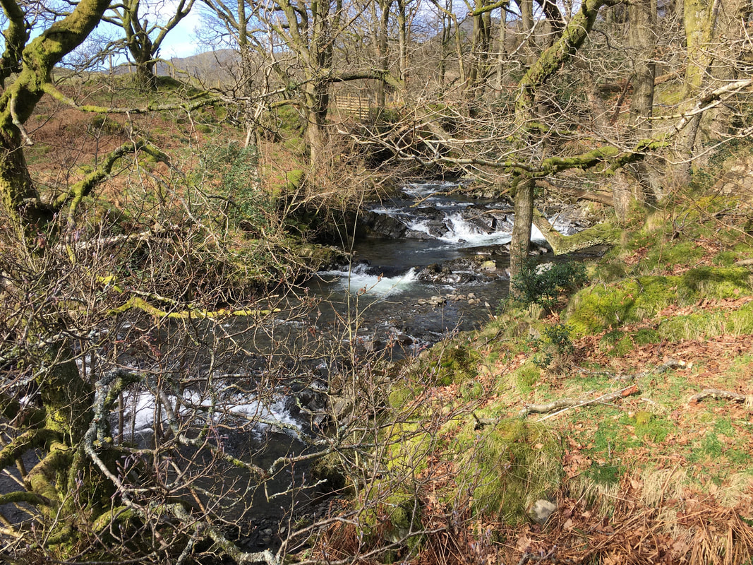
Leaving Little Arrow the path handrails Torver Beck
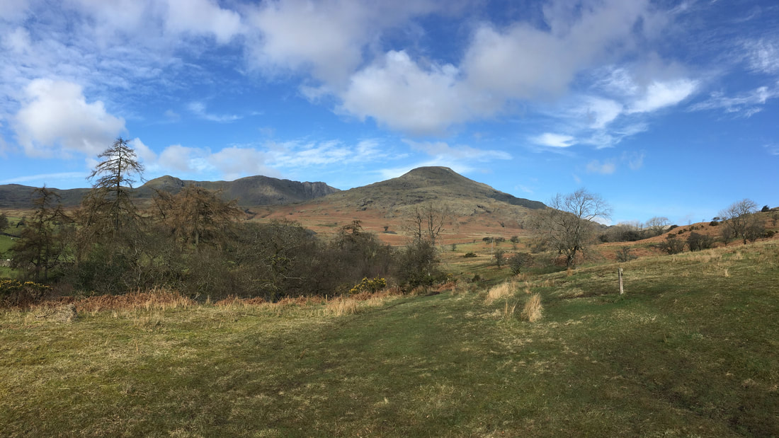
Our first view of Dow Crag to the centre left & Coniston Old Man to the right
Looking back to our route from Little Arrow
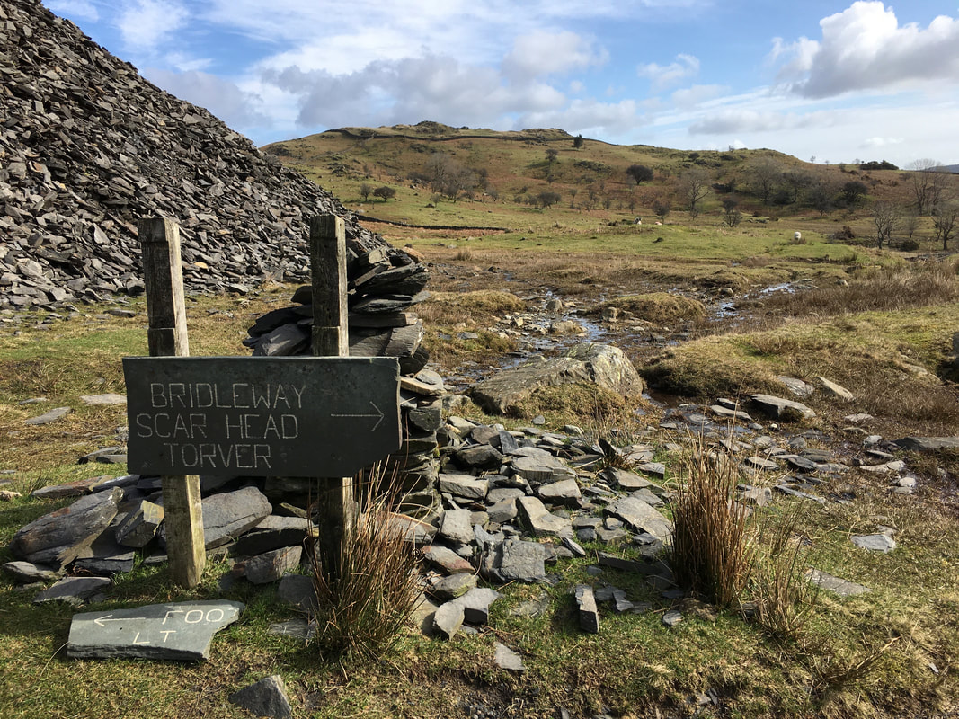
Shame that the lovely slate sign has broken
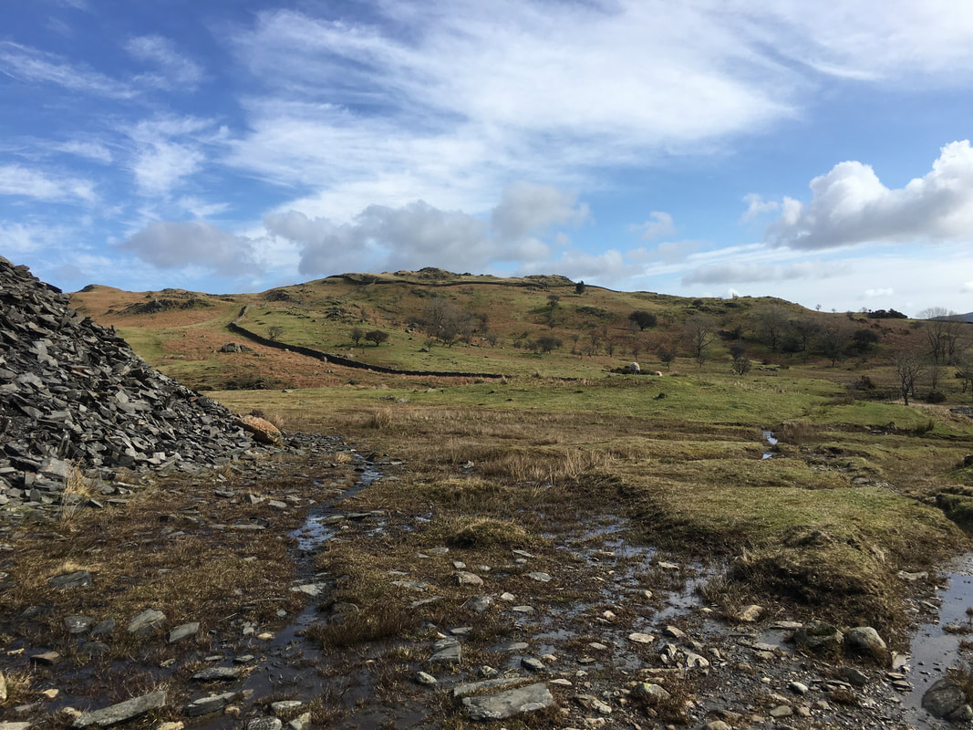
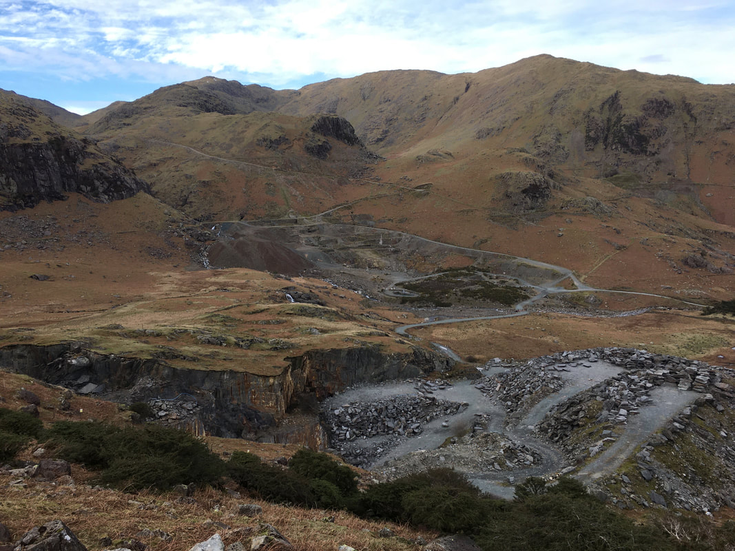
Passing through Banishead Quarry Mine Workings near Eddy Scale
Bannishead Quarry is also sometimes called Tanearth Quarry, the different names exist because the quarry lies between the two areas on the fellside.
Bannishead Quarry is also sometimes called Tanearth Quarry, the different names exist because the quarry lies between the two areas on the fellside.
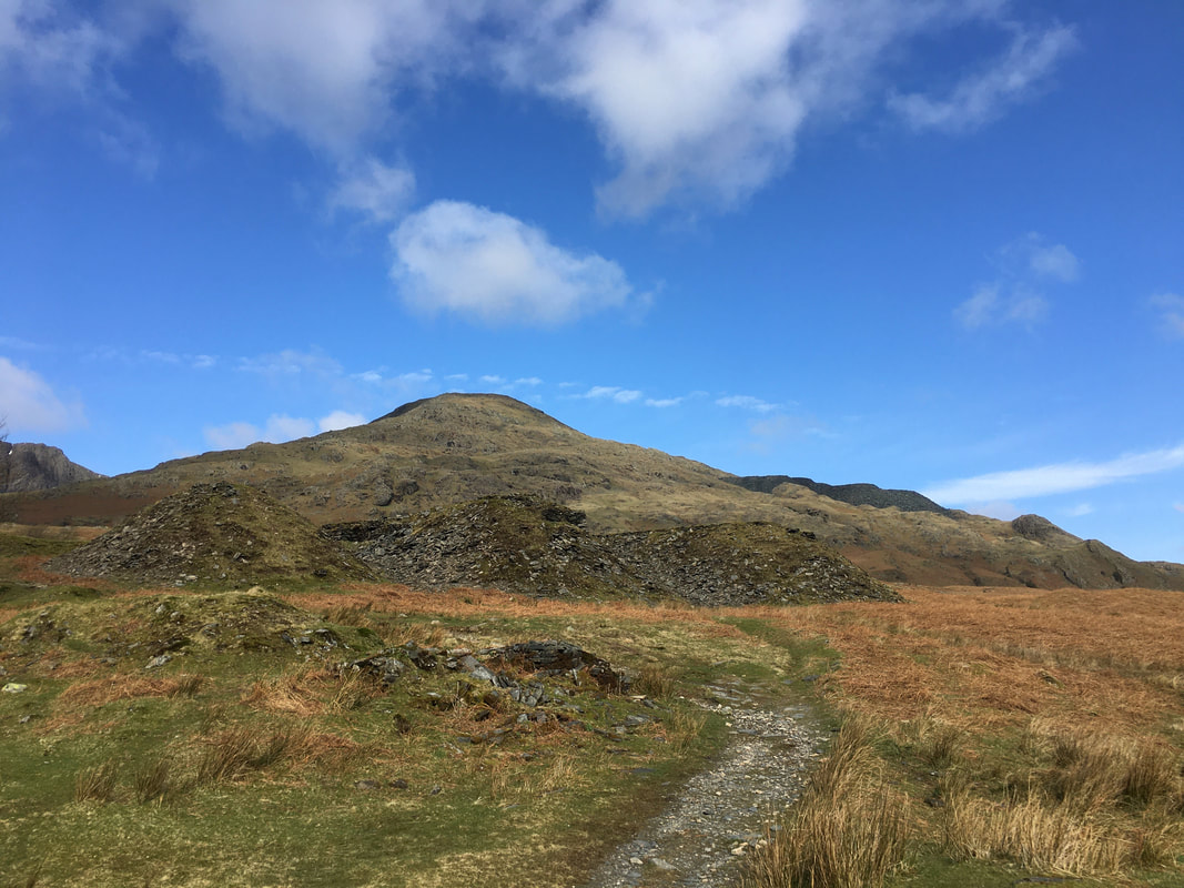
All around this area was heavily mined and there is evidence of this in every direction.
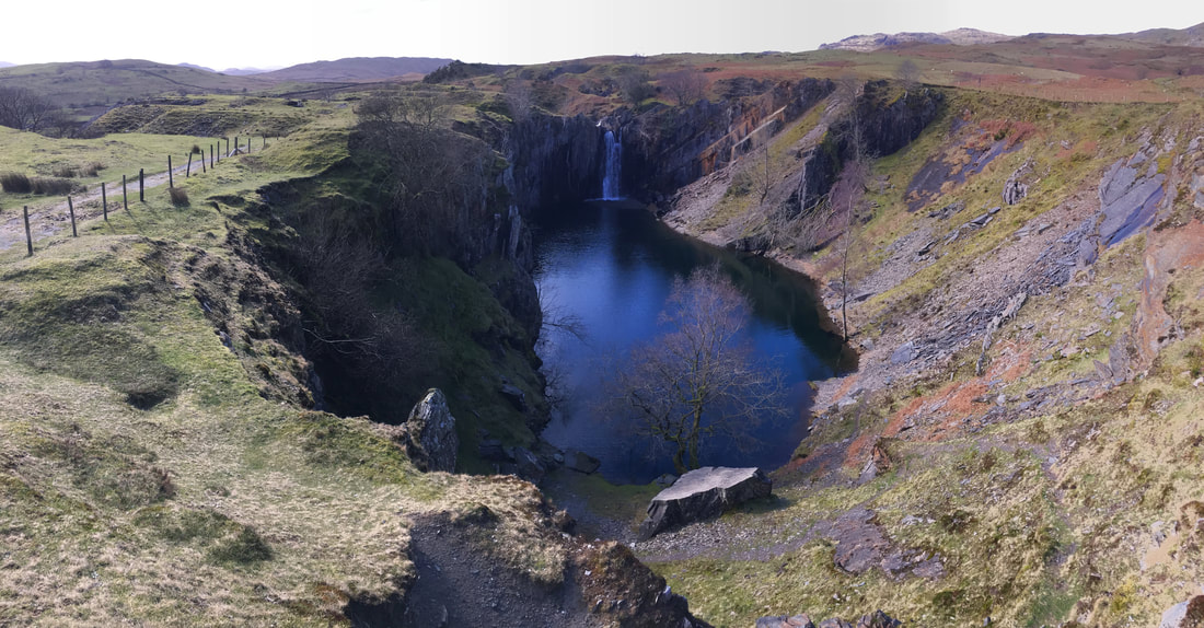
The deep quarry pit and waterfall at Banishead
The sloping area to the right of the waterfall is where the slate would have been hauled up from the quarry below. The waterfall came later - Torver Beck rushes down to one side of the quarry and the quarry men had to block off the beck to stop it flooding the quarry. The mine was abandoned as the slate ran out and the years passed until two schoolboys roaming the fells decided to remove the stone slab stopping the beck running into the quarry. The story as to how they did it can be found at this link here. The quarry filled with water and today it is about 6m (19ft 6ins) deep and although the perimeter is fenced off it still remains a draw for wild swimmers. The water remains at a constant level because of the sandstone layer that lies within the slate.
The sloping area to the right of the waterfall is where the slate would have been hauled up from the quarry below. The waterfall came later - Torver Beck rushes down to one side of the quarry and the quarry men had to block off the beck to stop it flooding the quarry. The mine was abandoned as the slate ran out and the years passed until two schoolboys roaming the fells decided to remove the stone slab stopping the beck running into the quarry. The story as to how they did it can be found at this link here. The quarry filled with water and today it is about 6m (19ft 6ins) deep and although the perimeter is fenced off it still remains a draw for wild swimmers. The water remains at a constant level because of the sandstone layer that lies within the slate.
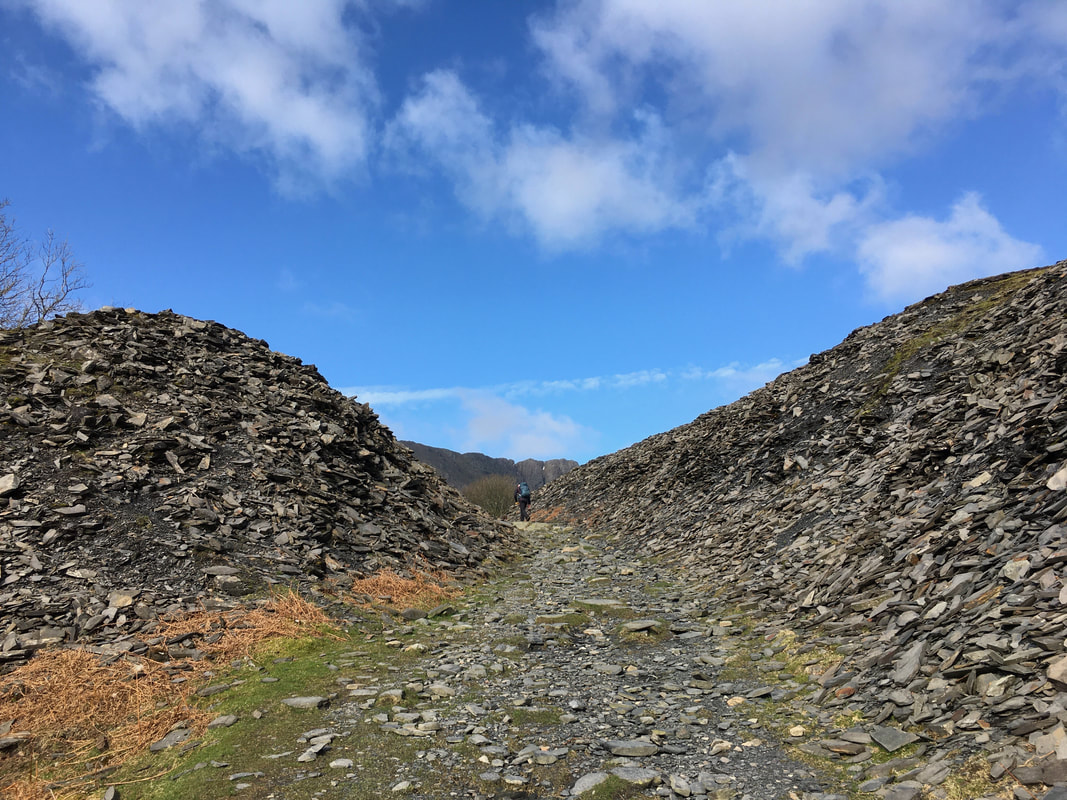
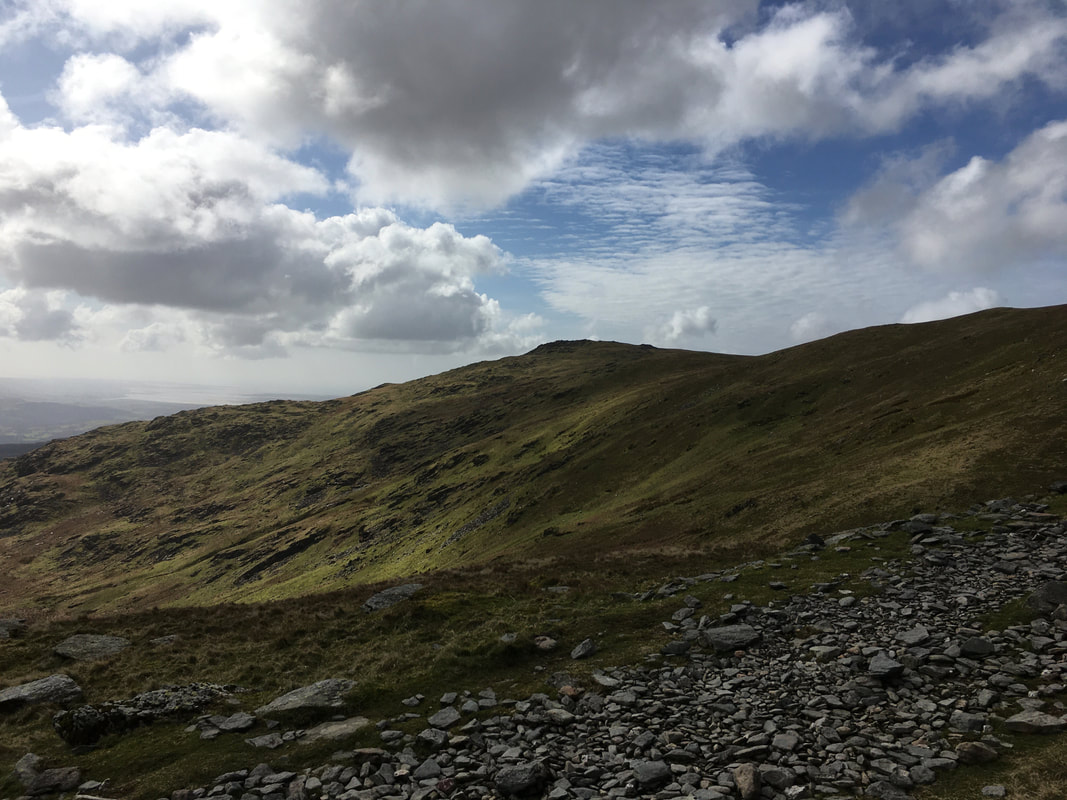
Once through Banishead the view opens up again as we head up to the Walna Scar Road
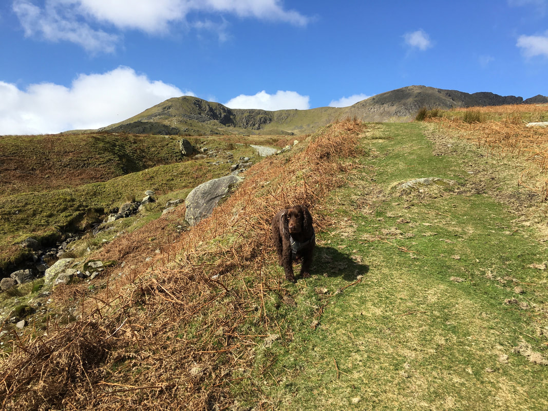
As usual the fell dog Fudge was having a great time - Brown Pike, Buck Pike & Dow Crag are behind him
Torver Bridge - the only spelling mistake I have ever seen on an OS Map (it says Brigde). It is also known as Cove Bridge.
A panorama of the cascading outflow from Goats Water, Buck Pike, Dow Crag, Coniston Old Man & Torver Bridge

On the Walna Scar Road
The Walna Scar road was an old packhorse route and was termed by Wainwright as “the ancient highway over Walna Scar”.
It formed an important medieval conduit from Furness Abbey to Coniston for the wool trade.
The Walna Scar road was an old packhorse route and was termed by Wainwright as “the ancient highway over Walna Scar”.
It formed an important medieval conduit from Furness Abbey to Coniston for the wool trade.
Looking to the unseen Goat's Water which sits between Buck Pike & Dow Crag on the left & Coniston Old Man to the right
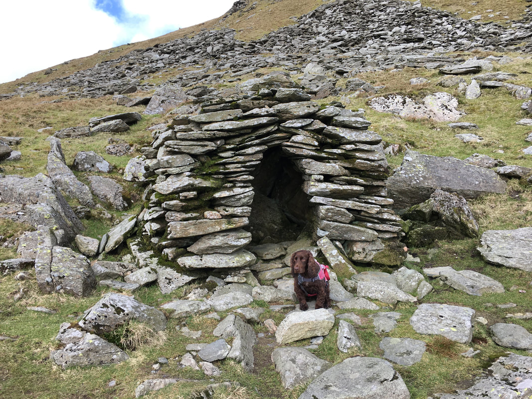
Fudge at the small stone shelter just off the path on the Walna Scar Road. Not much is known as to who built it and why but research has indicated that it may have been constructed for the use of travellers in bad weather when the road was a main packhorse route.
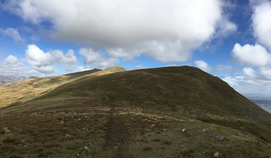
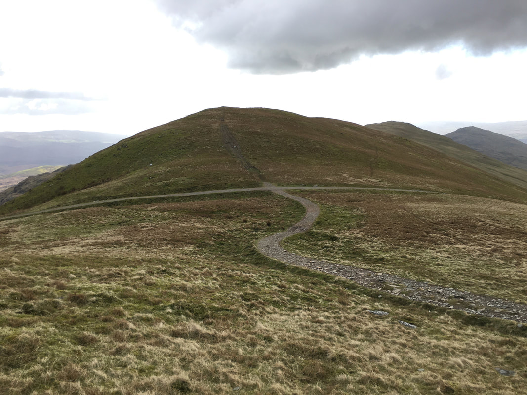
Nearing the top of the Walna Scar Road the Nutttall of White Maiden comes into view
The top of the Walna Scar Road - left to Walna Scar, right to Brown Pike and straight on for Seathwaite & Dunnerdale. We were off to Walna Scar.
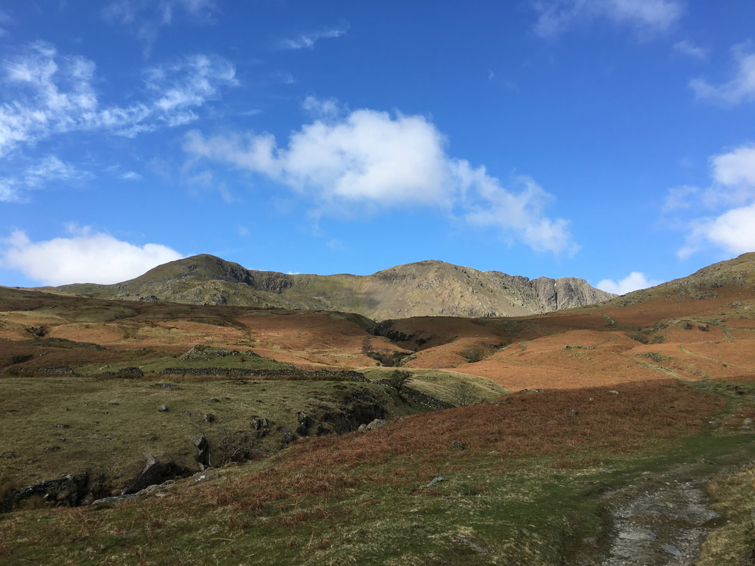
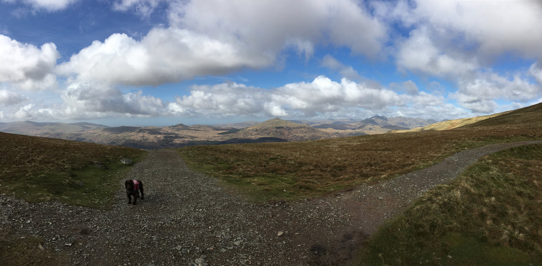
Green Crag, Harter Fell and The Scafells from the top of the Walna Scar Road
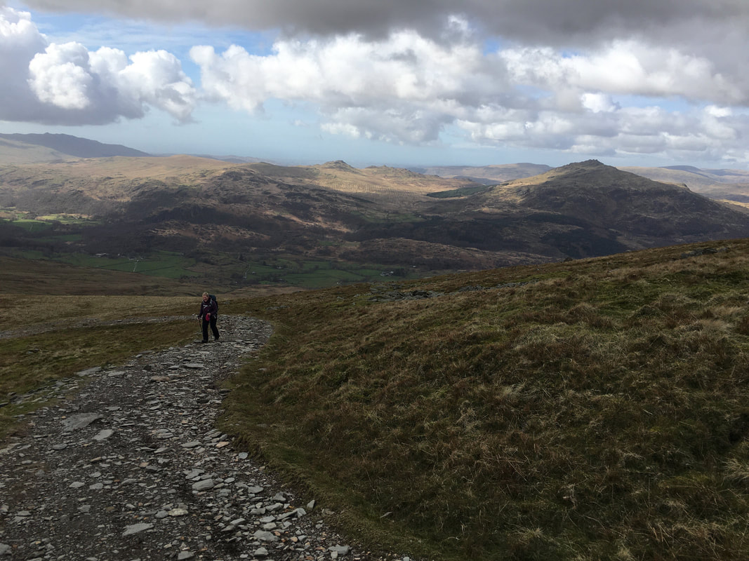
Looking back to the top of the Walna Scar Road from the ascent of Walna Scar - the path snaking its way up the fell side leads to Brown Pike - we would come back to here and head off up that way once we had been out to Walna Scar, White Pike & White Maiden
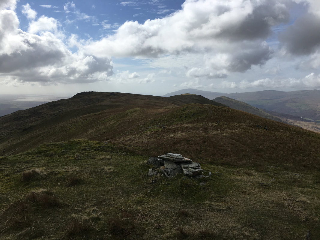
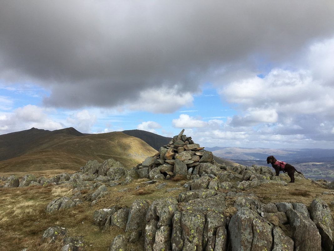
The summit of Walna Scar - a Wainwright Outlying Fell and the highest.
White Maiden is to the left with White Pike to the right and Pikes just beyond that. The large lump at the very back is Black Combe.
White Maiden is to the left with White Pike to the right and Pikes just beyond that. The large lump at the very back is Black Combe.
Another view of the summit of Walna Scar - Dow Crag is to the left then Buck Pike and Brown Pike
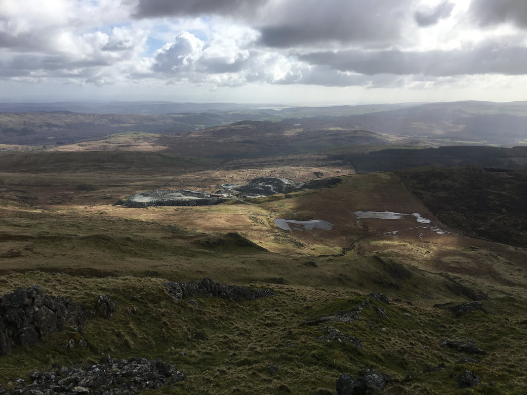
Looking down to Broughton Quarry from the summit of White Pike
The summit of White Pike looking to Pikes, Caw & Black Combe
A posing pooch on the summit of White Maiden.
Apart from Pillar Rock which is a proper rock climb with ropes etc, we had now completed all of the Lake District Nuttalls
Apart from Pillar Rock which is a proper rock climb with ropes etc, we had now completed all of the Lake District Nuttalls
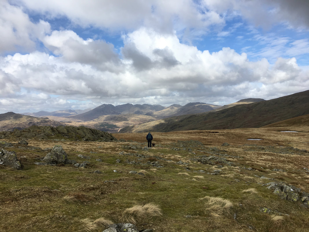
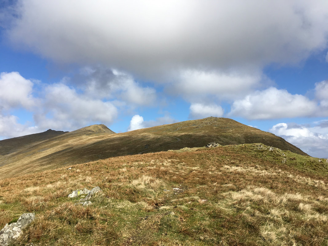
Heading over to the path which would take us back to the summit of Walna Scar
Looking back to the top of the Walna Scar Road & Walna Scar from the ascent of Brown Pike
Go on Angie - give it some welly girl
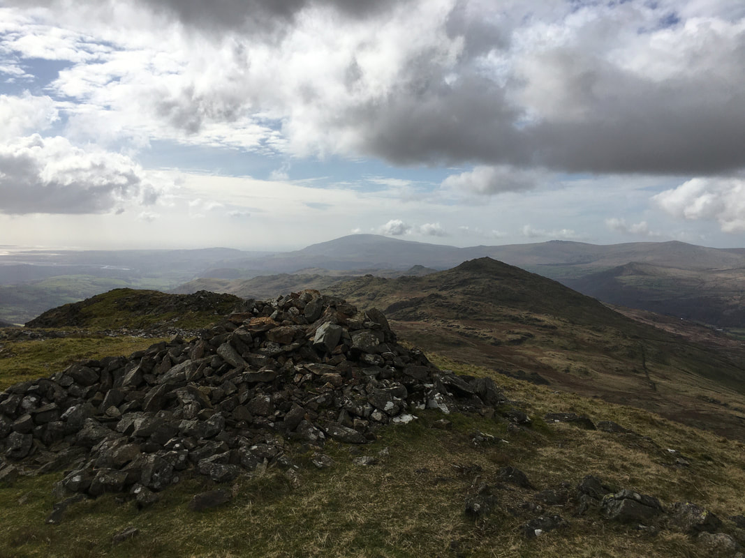
The summit of Brown Pike looking to Buck Pike & Coniston Old Man
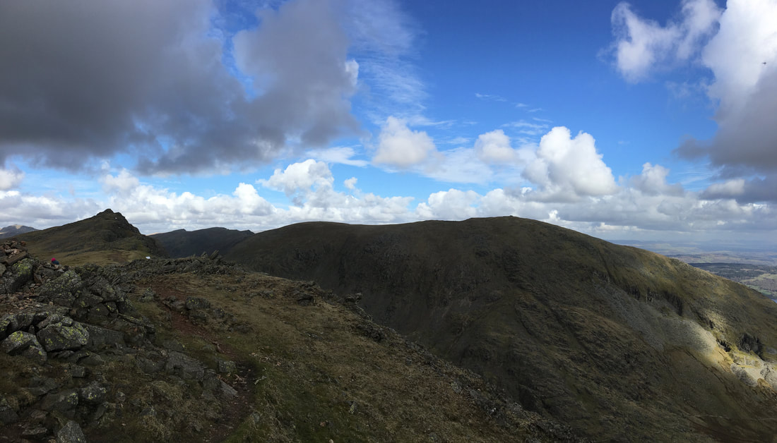
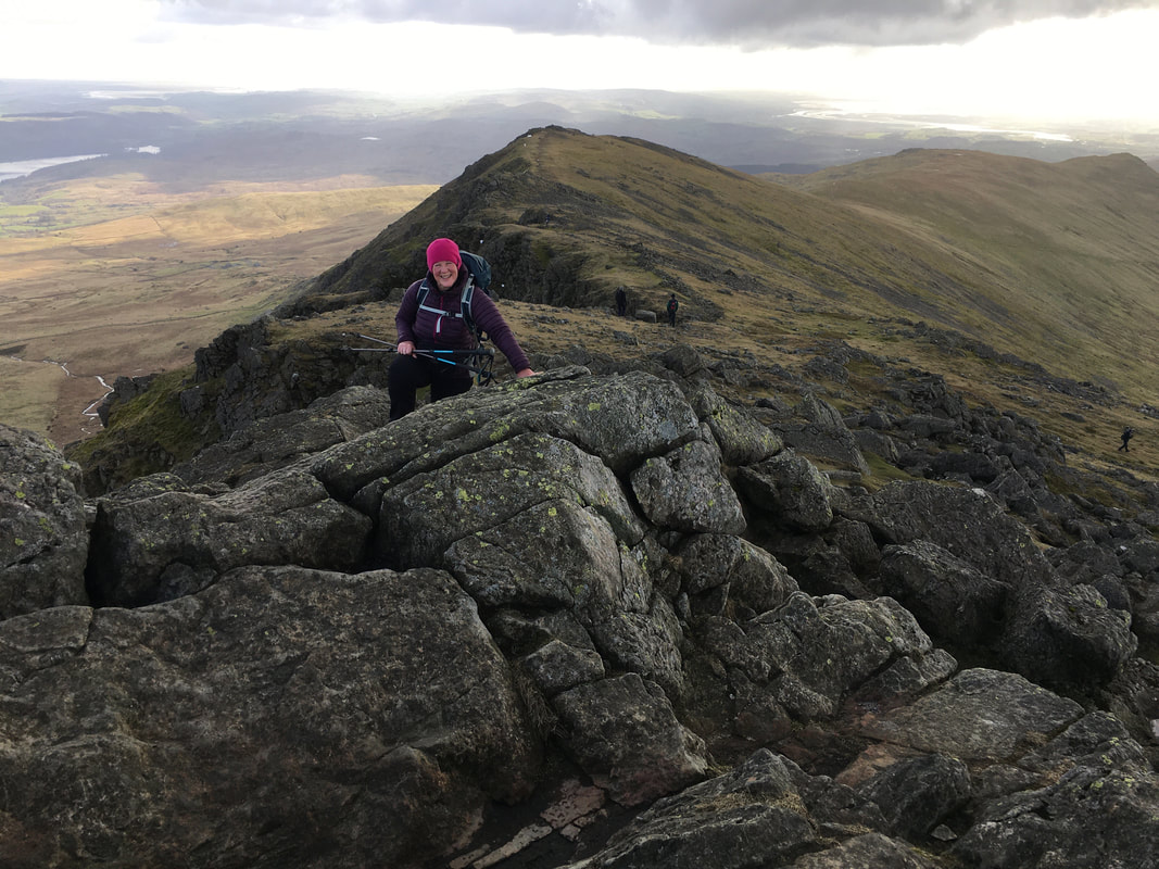
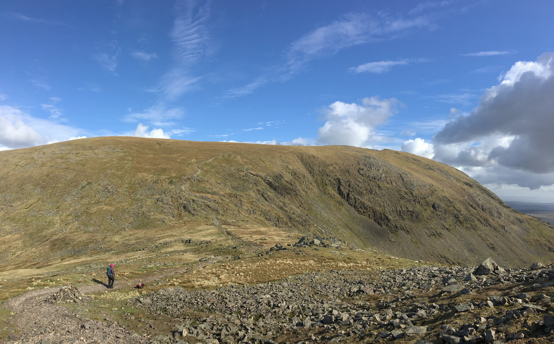
From Brown Pike to Buck Pike is a lovely high level transit
Looking back to Brown Pike & Blind Tarn from Buck Pike
Another look at the ridge from Brown Pike to Buck Pike - it is very much underrated
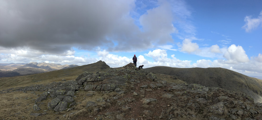
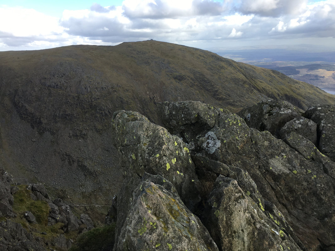
The summit of Buck Pike
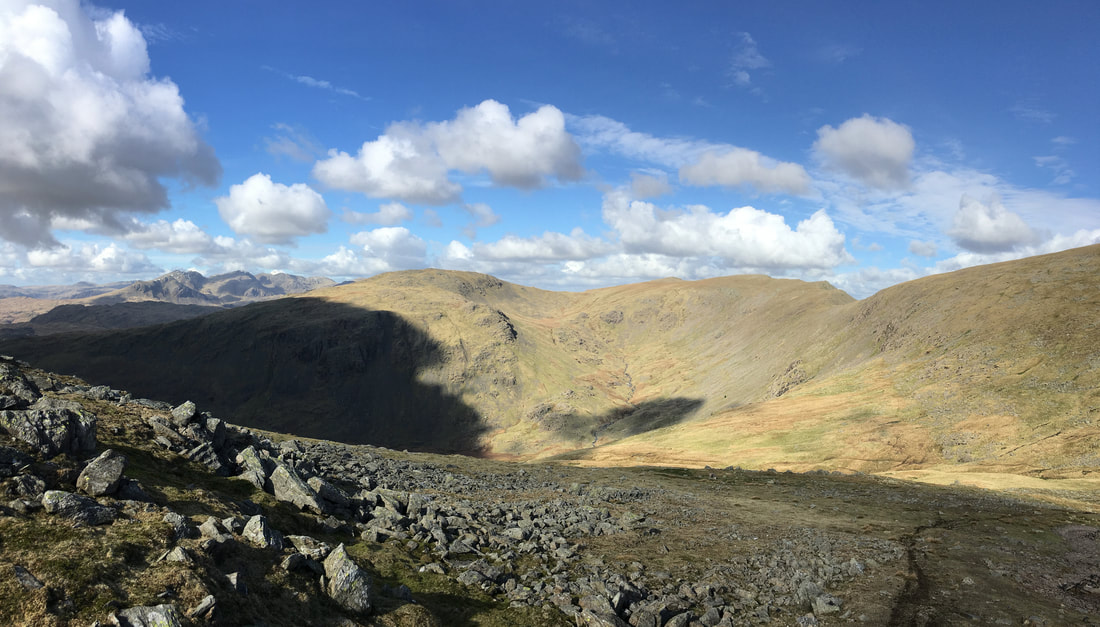
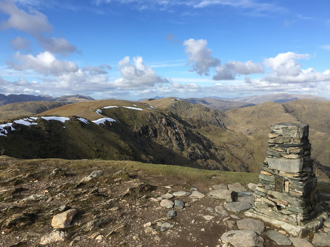
A lovely view from Buck Pike - Dow Crag, Great Carrs, Swirl How, Brim Fell & Coniston Old Man
|
|
|
2013
|
2020
|
Photos taken almost 7 years apart - Fudge & I haven't changed that much!!
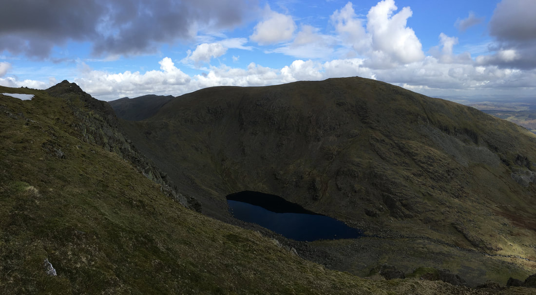
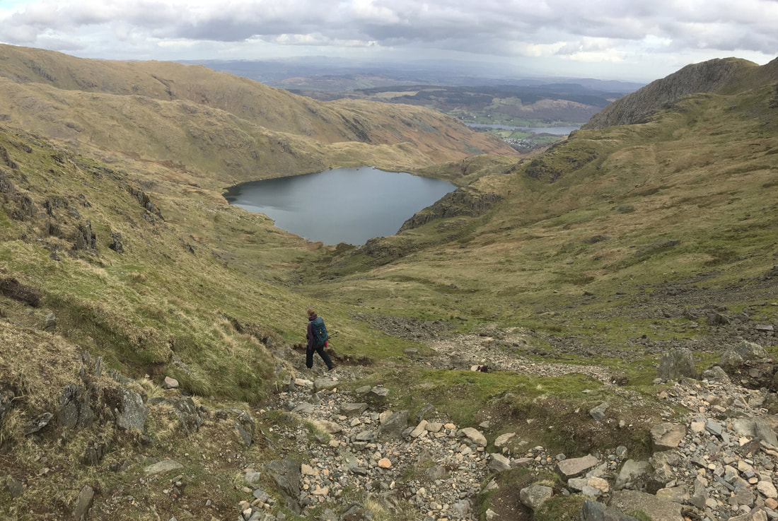
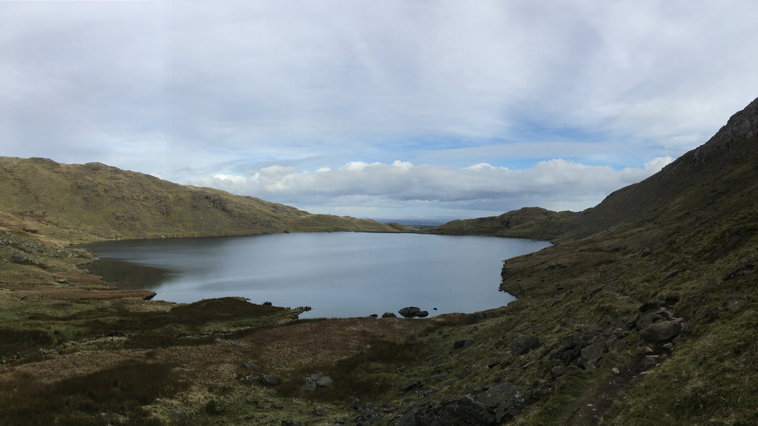
Dow Crag, Goat's Hawse, Goat's Water & Coniston Old Man
Goats Water can be reached from Coniston via a good path from the Walna Scar Road
Goats Water can be reached from Coniston via a good path from the Walna Scar Road
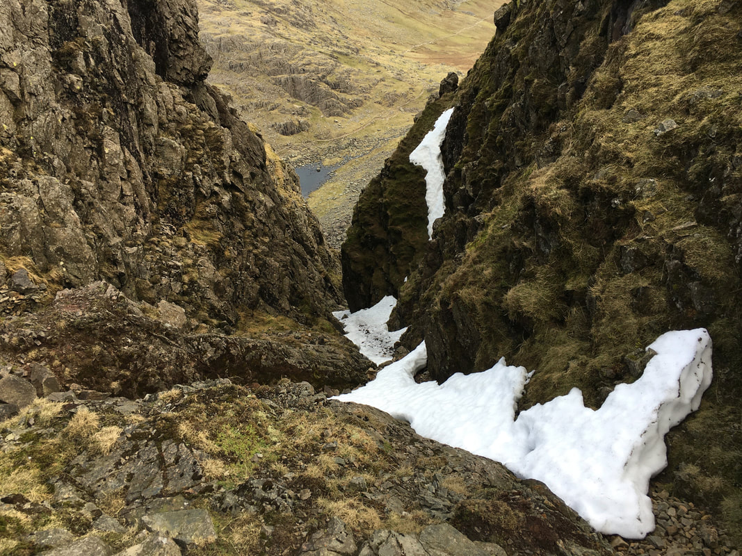
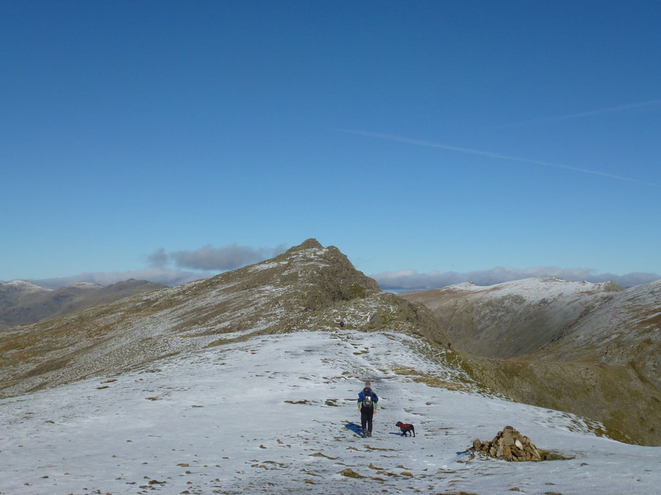
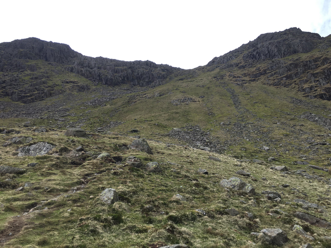
Looking into Easy Gully on Dow Crag
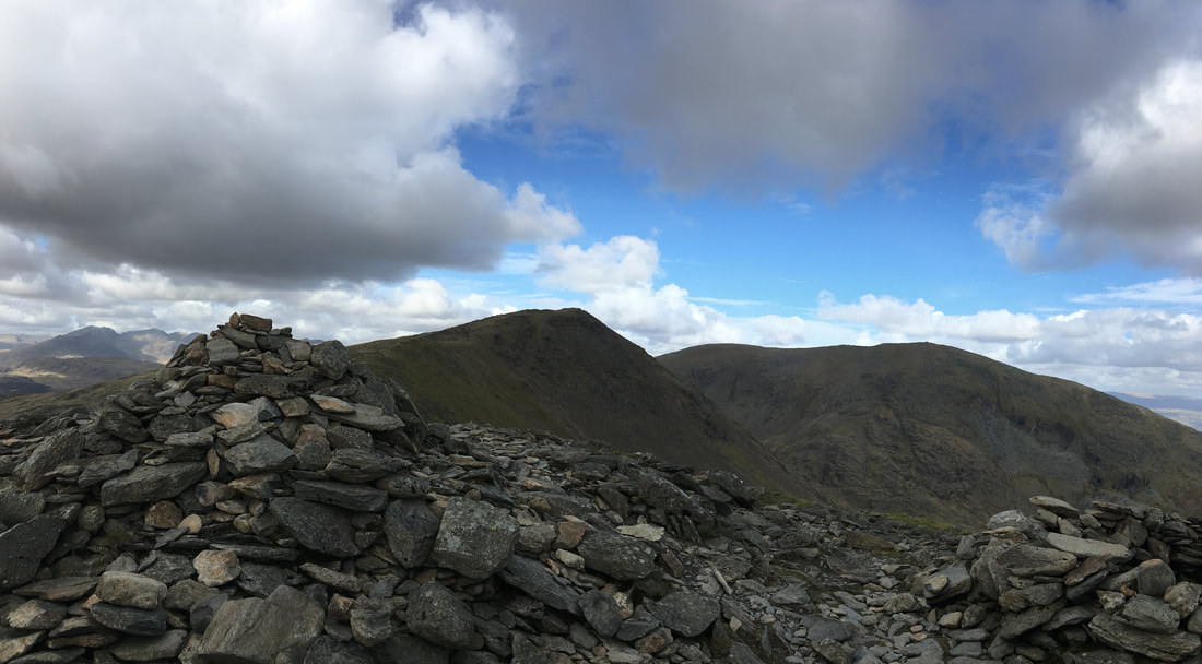
The summit of Dow Crag
In good conditions as we had today, the climb on to the summit is an easy scramble however if completed in the wet or on snow & ice then please take care as you make your way amongst the rocks to the topmost point.
In good conditions as we had today, the climb on to the summit is an easy scramble however if completed in the wet or on snow & ice then please take care as you make your way amongst the rocks to the topmost point.
The summit of Dow Crag looking to Coniston Old Man
Descending to Goat's Hawse from Dow Crag
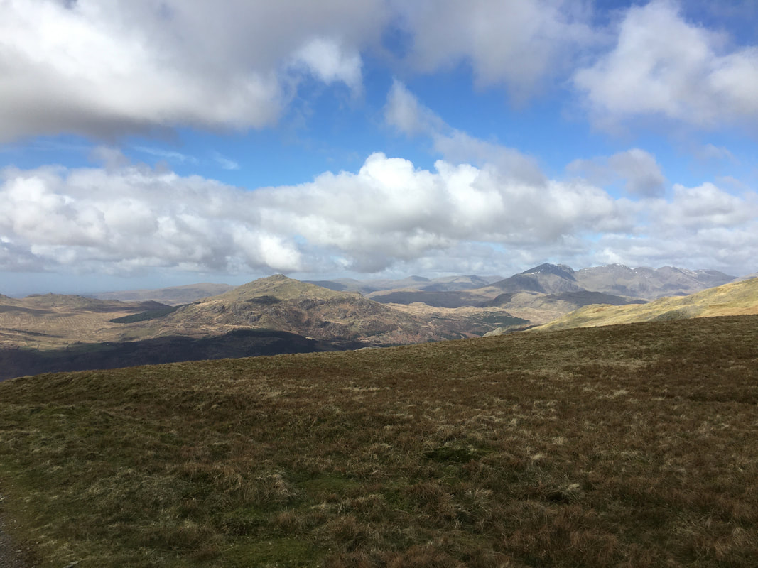
The Scafell Range is to the back left with Grey Friar, Calf Cove, the col of Fairfield, Great Carrs & Swirl How completing the picture.
The Scafell Range is to the back left with Grey Friar, Calf Cove, the col of Fairfield, Great Carrs & Swirl How completing the picture.
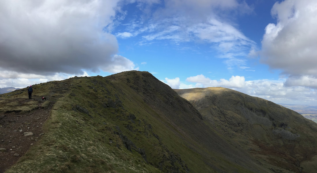
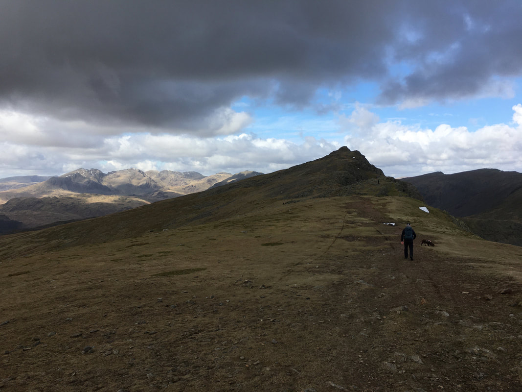
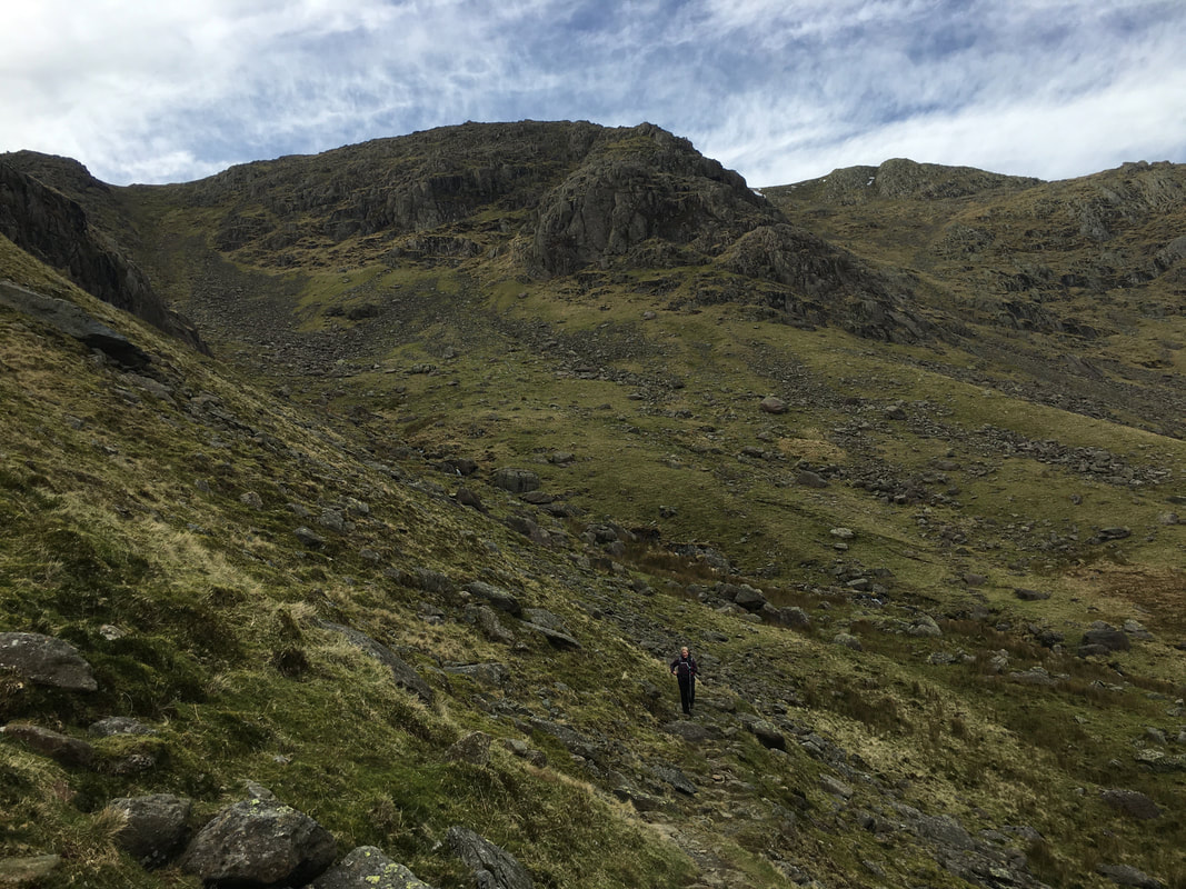
Nearing Goat's Hawse.
Our route of ascent from the Hawse to Coniston Old Man can be seen snaking its way up the opposite side
Our route of ascent from the Hawse to Coniston Old Man can be seen snaking its way up the opposite side
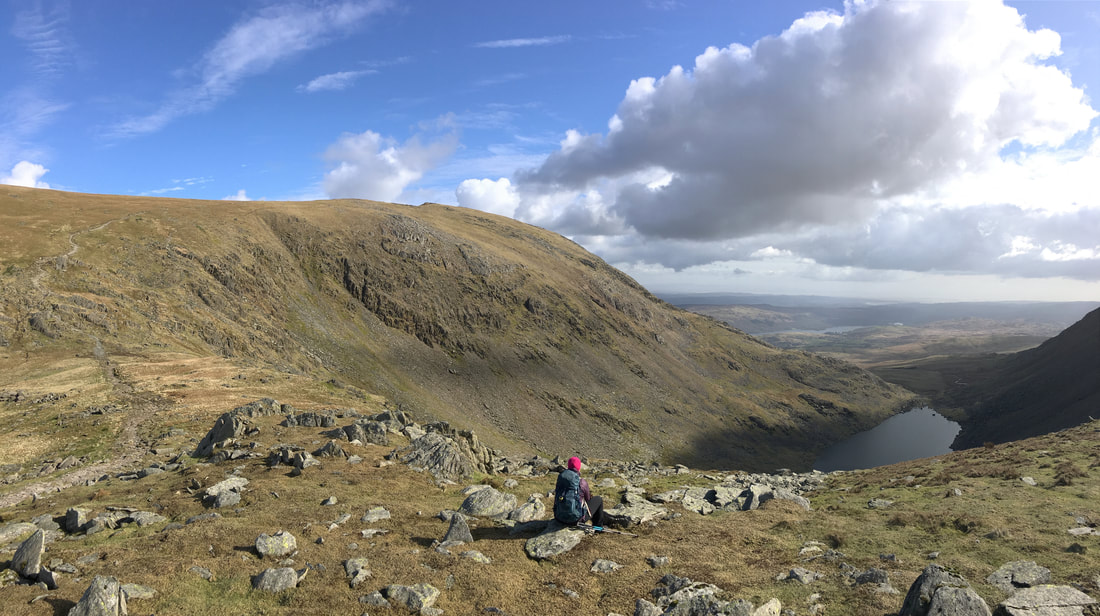
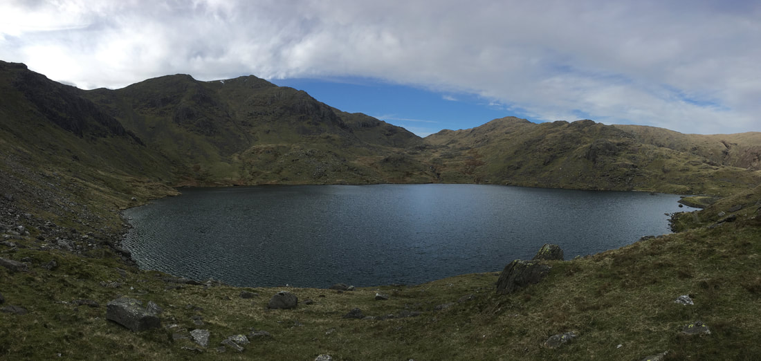
Just above Goat's Hawse looking to Goat's Water - and a very pleasant lunch stop it was too
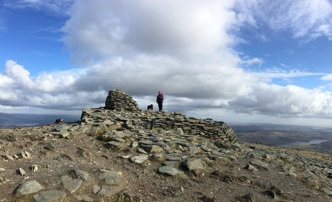
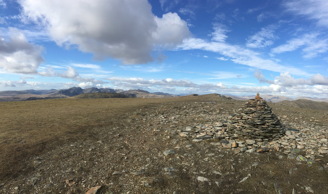
The summit of Coniston Old Man or as Wainwright says "properly, The Old Man of Coniston" (Coniston Old Man 1)
The summit is a solidly built slate platform with a large cairn.
The summit is a solidly built slate platform with a large cairn.
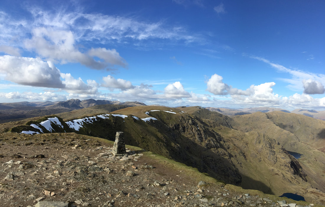
The Trig Point on Coniston Old Man which gives a fantastic view in all directions.
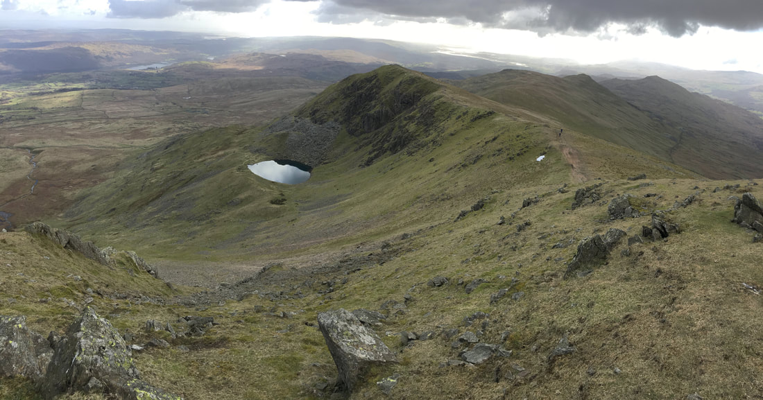
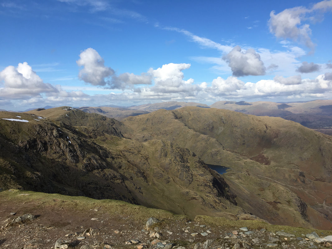
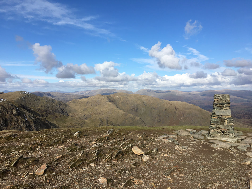
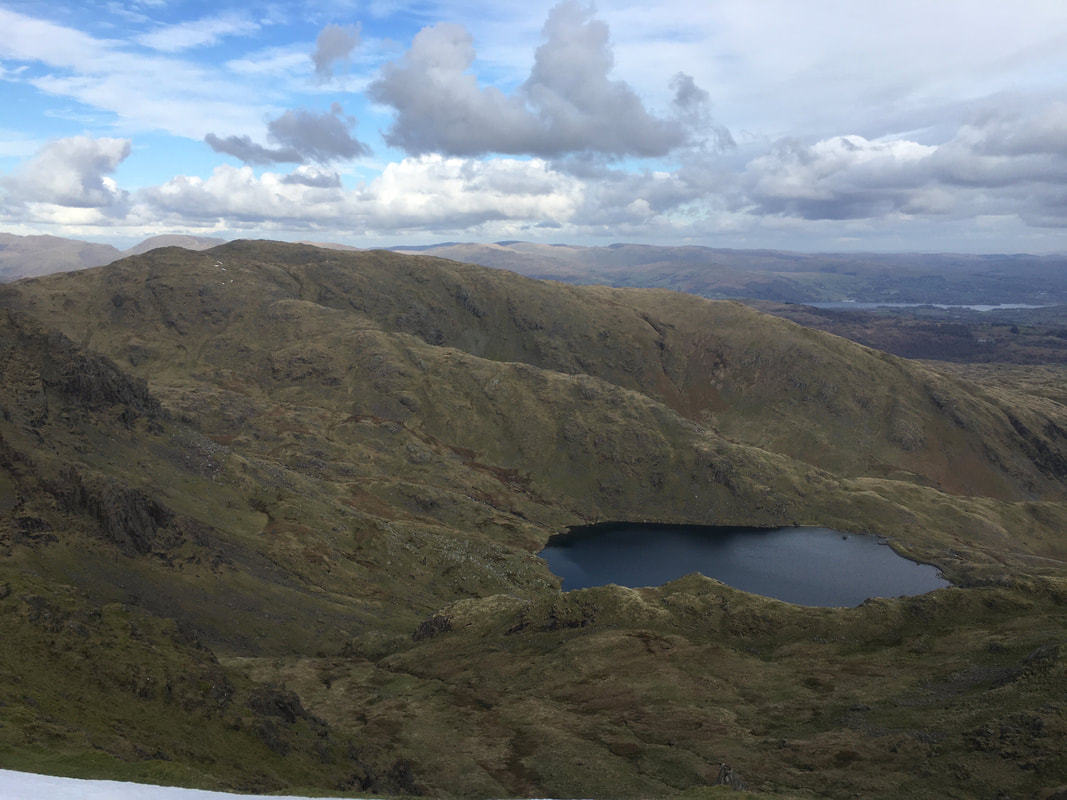
The view is looking north along the ridge to Brim Fell with the Scafell Range to the left. To the extreme right is Wetherlam.
The two tarns visible are Low Water & Levers Water.
The view is looking north along the ridge to Brim Fell with the Scafell Range to the left. To the extreme right is Wetherlam.
The two tarns visible are Low Water & Levers Water.
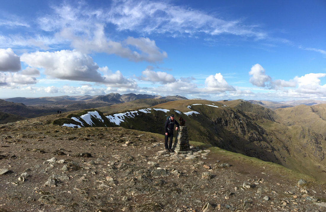
With Fudge on Coniston Old Man - when it is quiet like it was today then this is a fantastic spot
A little further round to the east Raven Tor sits just above Levers Water with the Black Sails Ridge & Wetherlam behind
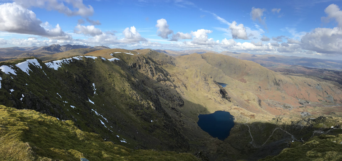
A wider panorama from the summit of Coniston Old Man
A closer look at the view from the Trig Point on Coniston Old Man
Looking to Wetherlam & Black Sails from Coniston Old Man
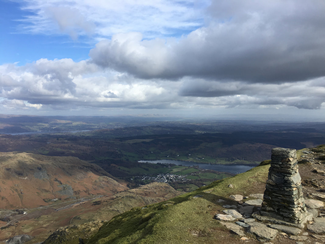
Coniston and Coniston Water from the summit
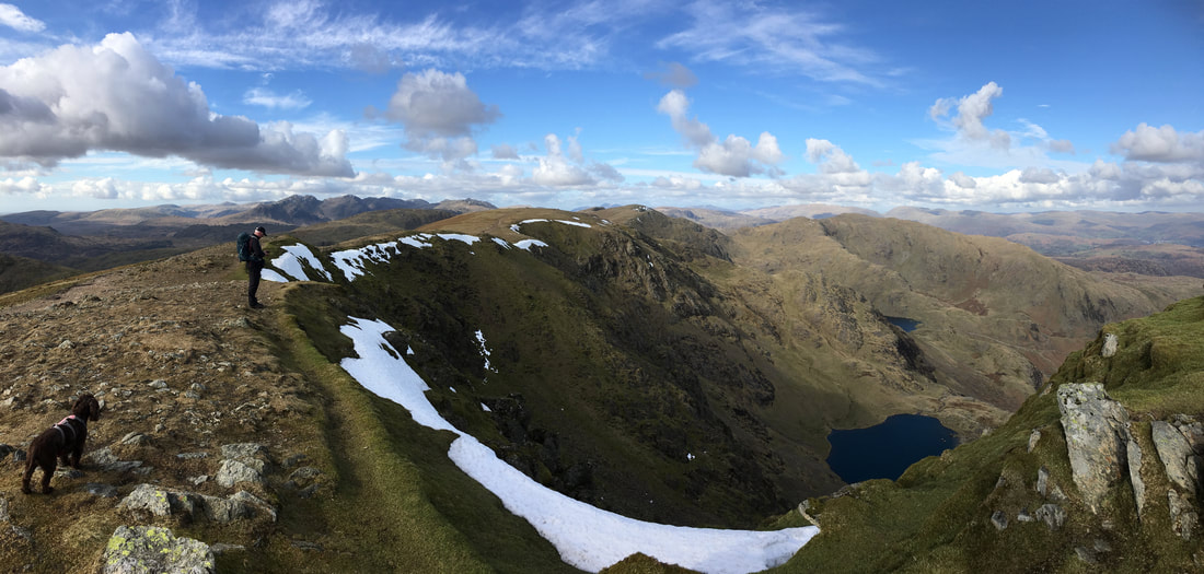
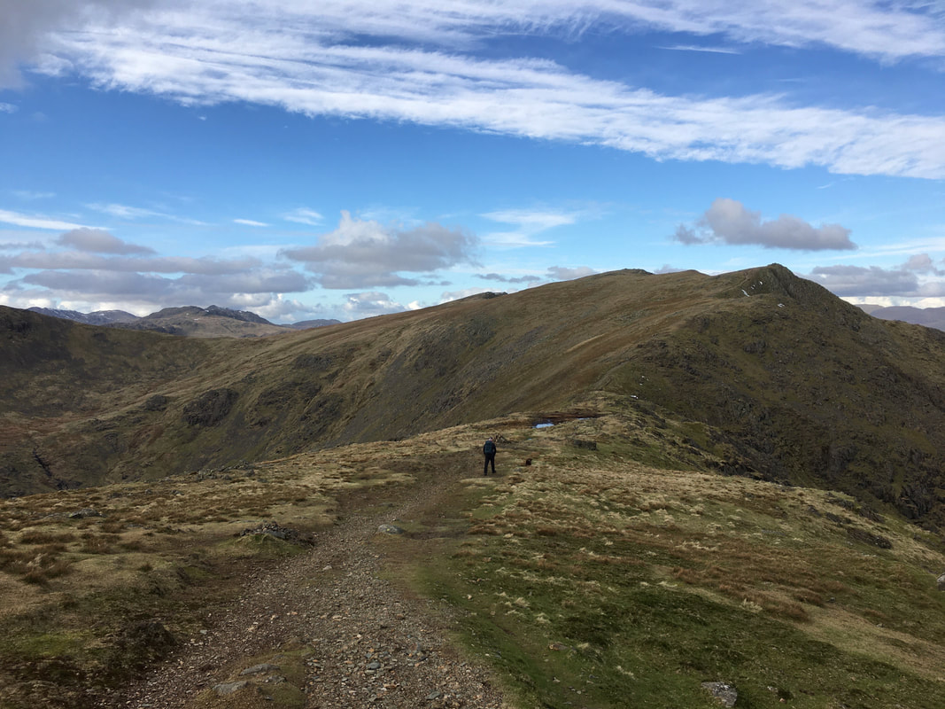
Fudge eyes me suspiciously as we head along the ridge to Brim Fell - it was hard to leave this lovely spot but on we go.
The summit of Brim Fell
Looking down to Levers Water from near Levers Hawse with Black Sails & Wetherlam to the left
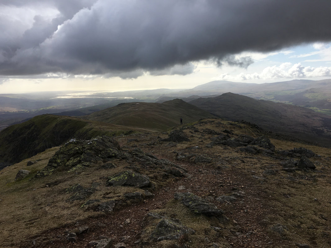
Approaching Levers Hawse with Great Carrs & Swirl How up ahead
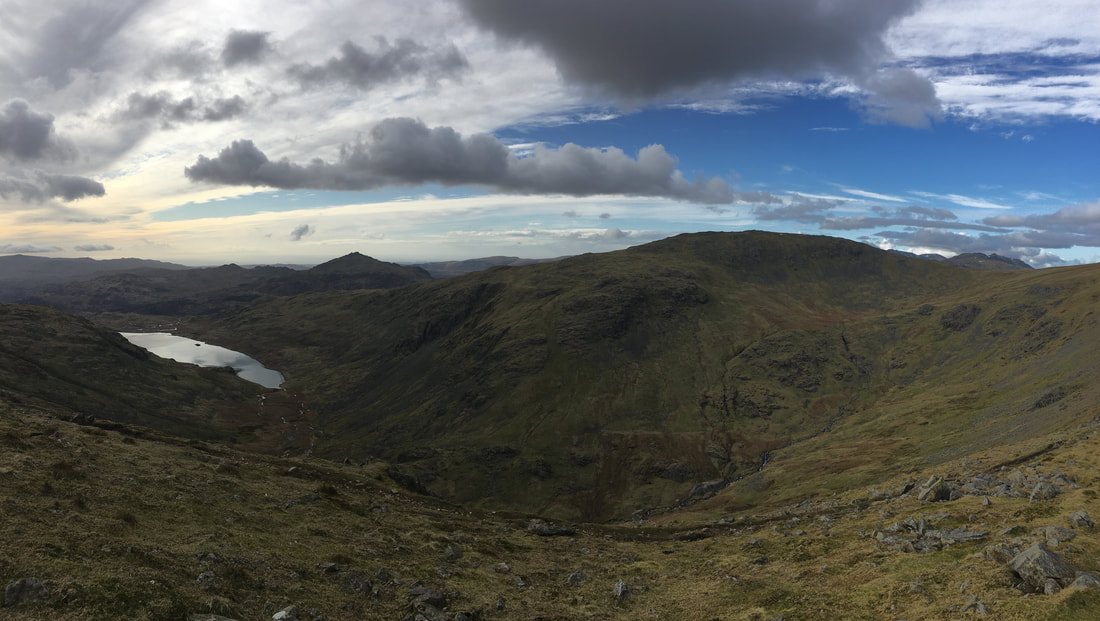
Looking west from Levers Hawse to Seathwaite Tarn, Harter Fell & Grey Friar
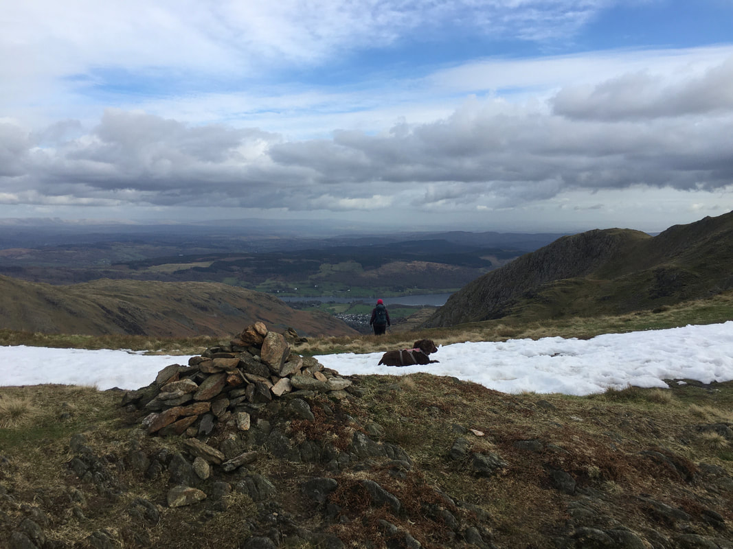
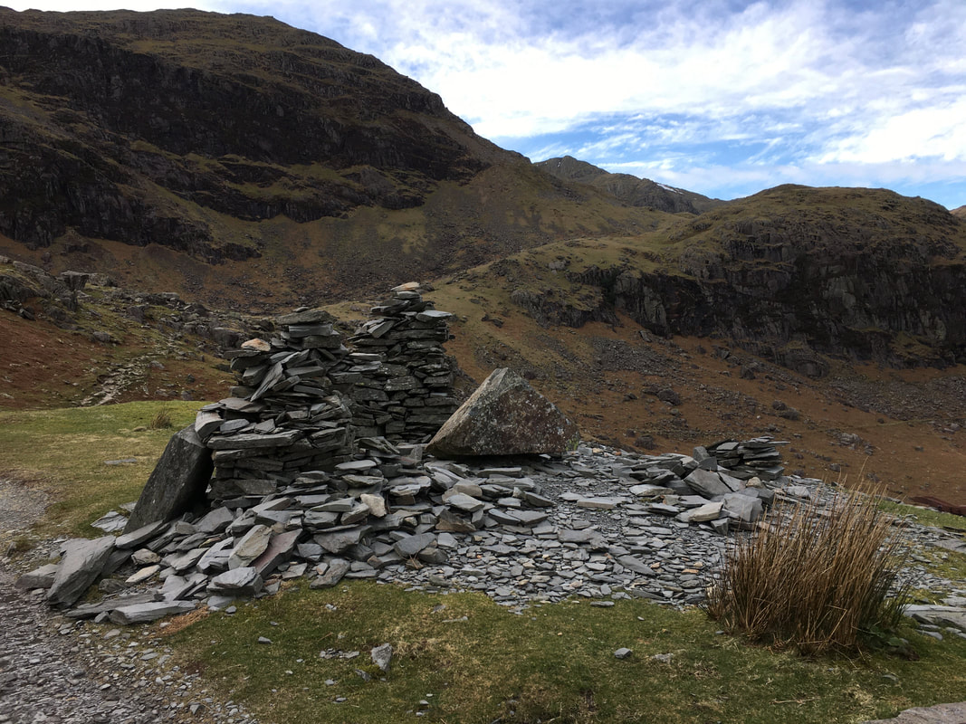
A cairn at Levers Hawse marks the spot where we turned east to drop steeply down into Gill Cove on the Levers Water path
The descent to Levers Water via Gill Cove
The path is steep and contains loose stone however with ice and snow on the ground it would be a different proposition.
The path is steep and contains loose stone however with ice and snow on the ground it would be a different proposition.
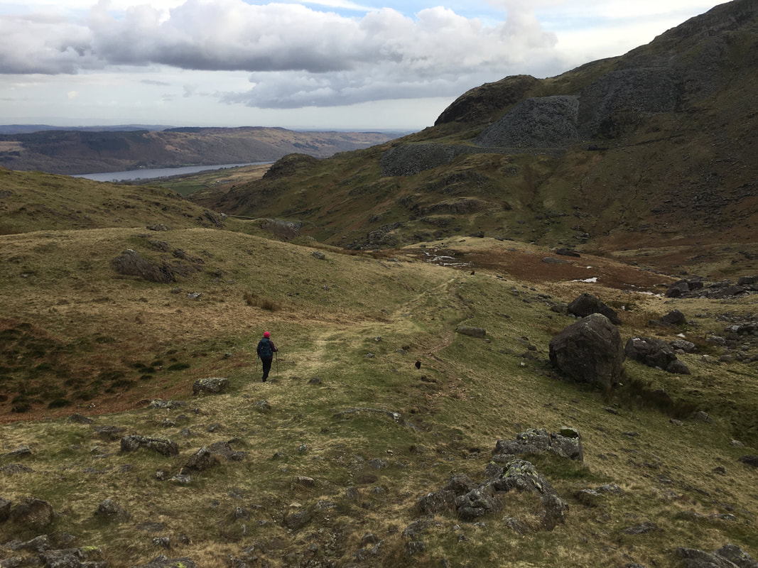
Looking back up at our route of descent from Levers Hawse
Continuing the descent from Levers Hawse
Thankfully it wasn't too long before we were on flatter ground near Levers Water
Another view of Levers Water this time from the southern end
Boulder Valley
It is easy to see why Boulder Valley was so named - there were plenty of these huge boulders about the place.
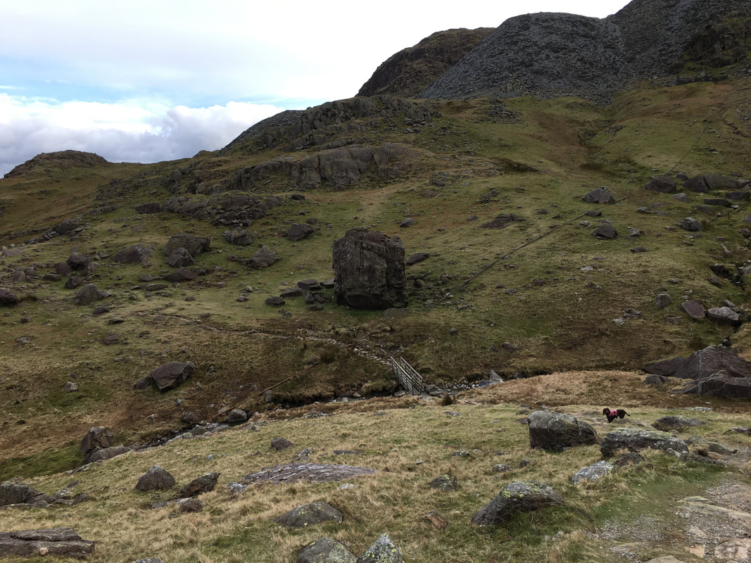
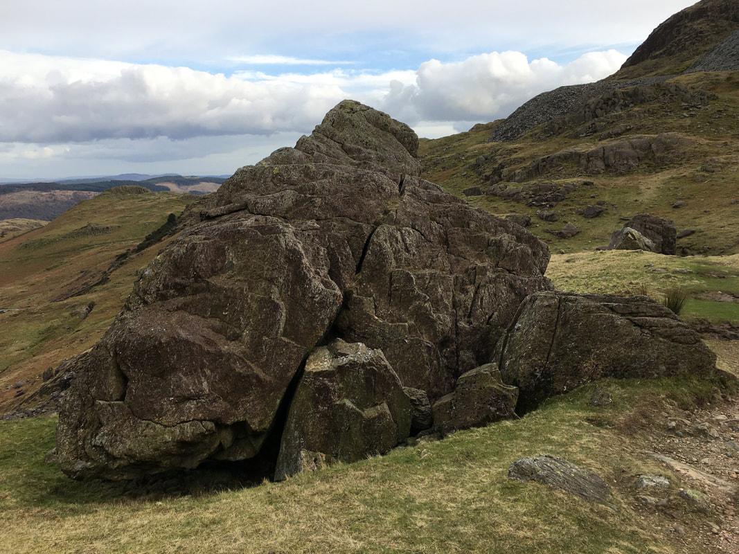
A small footbridge crossing Low Water Beck leads to The Pudding Stone
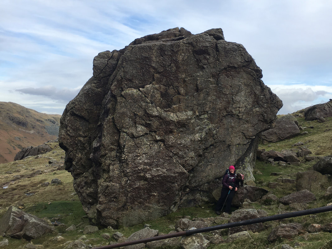
The Pudding Stone (Coniston Old Man 10)
The top of the 25ft boulder can easily be reached via a short scramble from the southern side.
The top of the 25ft boulder can easily be reached via a short scramble from the southern side.
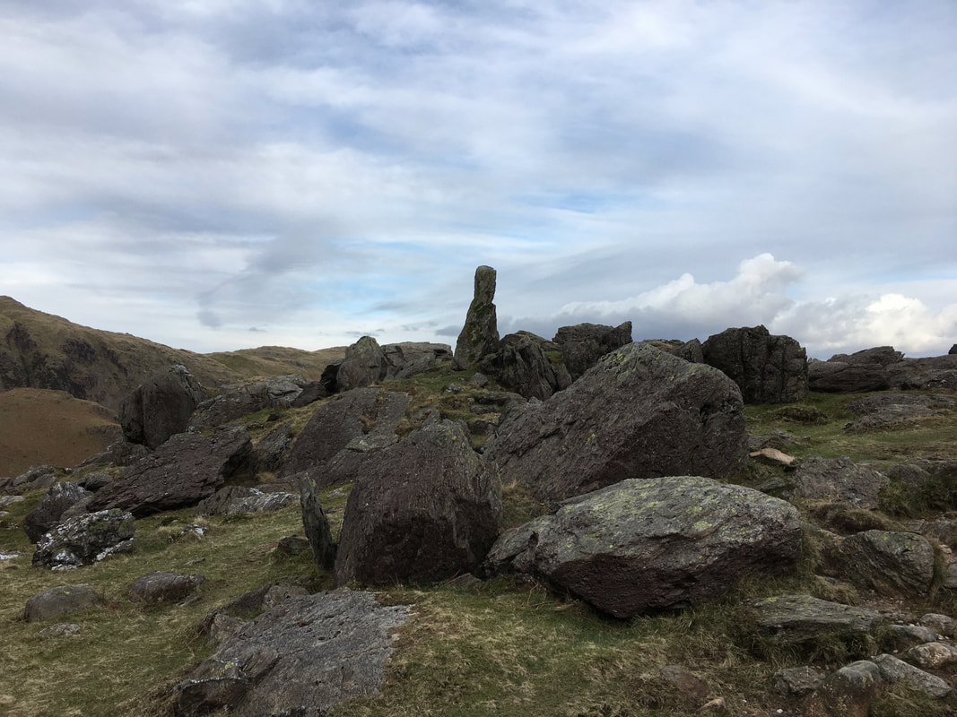
A finger of rock as we head to Crowberry Haws
A disused mine building near Crowberry Haws
Coppermines Valley
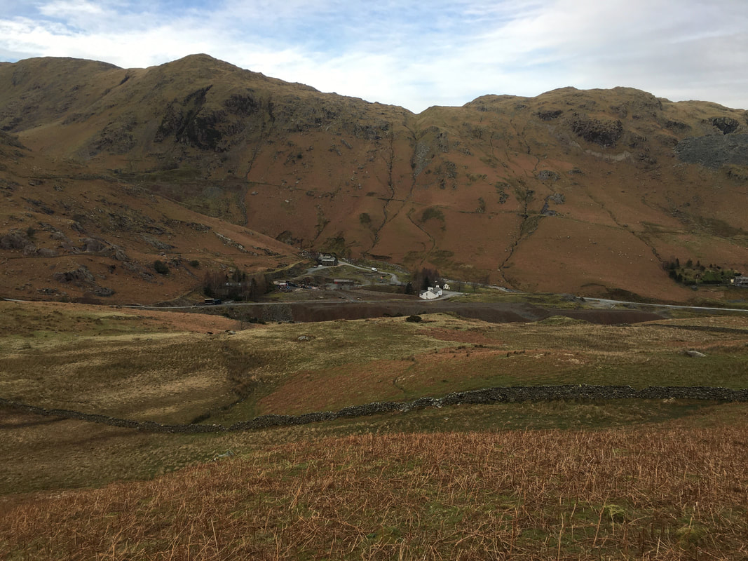
The eastern end of Coppermines Valley - the white building in the centre of the picture is YHA Coniston.
The building used to be the Mine Manager's house and in 1928 was first used as a hostel. In 1931 the hostel became part of the Youth Hostel Association's network of hostels. It was their first hostel in the Lake District.
The building used to be the Mine Manager's house and in 1928 was first used as a hostel. In 1931 the hostel became part of the Youth Hostel Association's network of hostels. It was their first hostel in the Lake District.
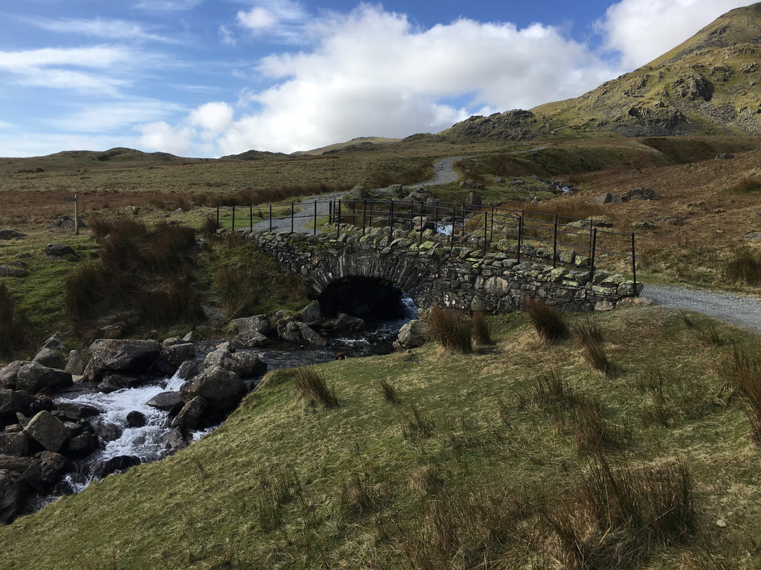
The Miners Bridge
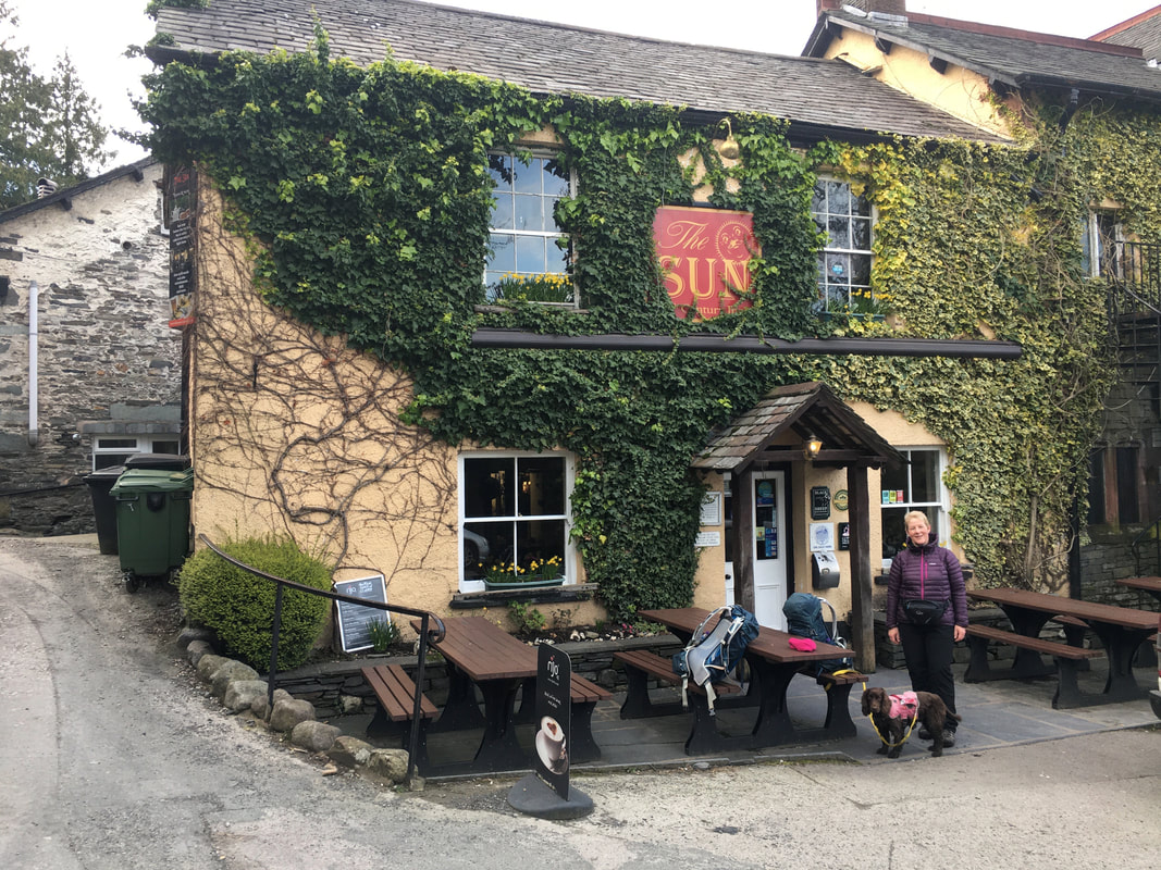
Back in Coniston it was time for a swift half in The Sun Inn before heading back to Park Coppice. Mrs W is sporting her "knackered fizzog" look.

I think Fudge had a good day out today