Priest's Hole, Dove Crag, Little Hart Crag & High Hartsop Dodd -
Friday 2 November 2018
Route
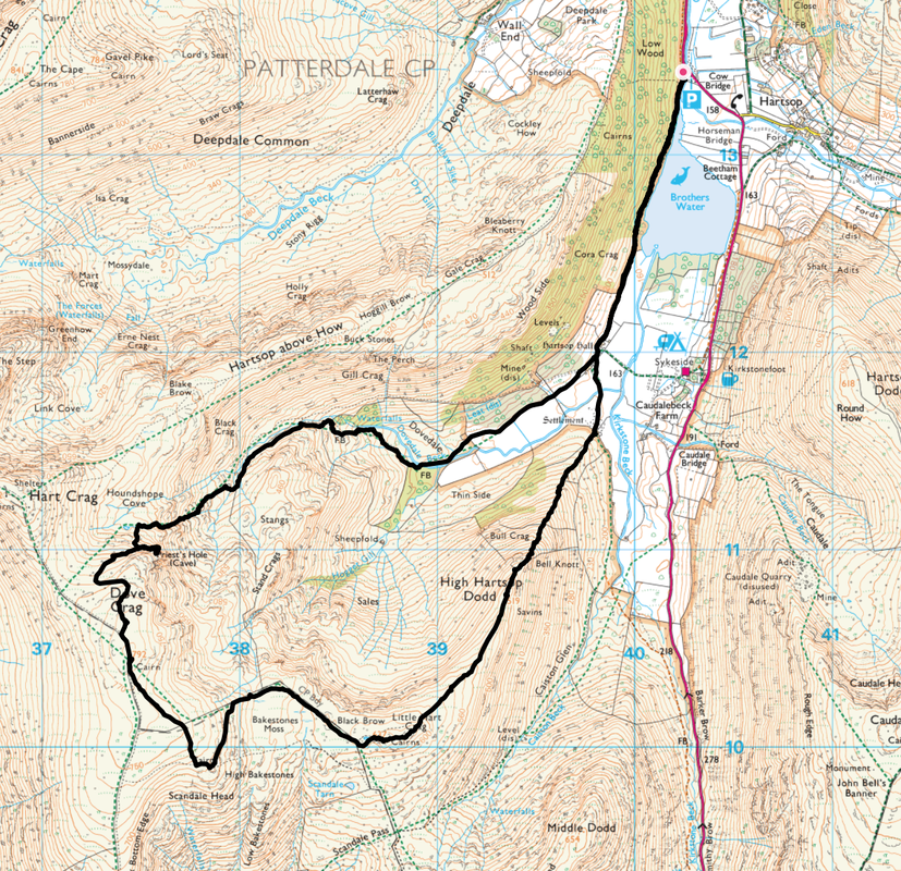
Cow Bridge Hartsop - Brothers Water - Hartsop Hall - Dovedale - Priest's Hole - Dove Crag - High Bakestones - Little Hart Crag - High Hartsop Dodd - Hartsop Hall - Brothers Water - Cow Bridge Hartsop
Parking
Cow Bridge, Hartsop (Free) - Grid Ref NY403134. Nearest postcode is CA11 0NY.
Mileage
8 Miles
Terrain
Good mountain paths and farm tracks however the transit to the Priest's Hole is on a sloping, rocky and sometimes intermittent path - care needs to be taken, particularly when the rock is greasy, icy & wet.
Weather
Bright & sunny yet cold. Became overcast from High Bakestones back to Cow Bridge.
Time Taken
5hrs 30mins
Total Ascent
2417ft (737m)
Wainwrights
3
Map
OL5 - The English Lakes - North Eastern Area
Walkers
Dave, Angie & Fudge
|
GPX File
|
| ||
If the above GPX file fails to download or presents itself as an XML file once downloaded then please feel free to contact me and I will send you the GPX file via e-mail.
Route Map
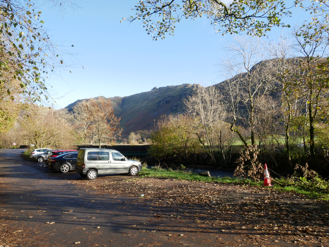
The free Car Park at Cow Bridge near Hartsop Village - at weekends it pays to get here early as the spaces fill up very quickly
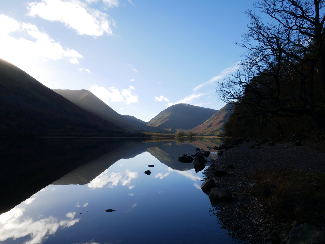
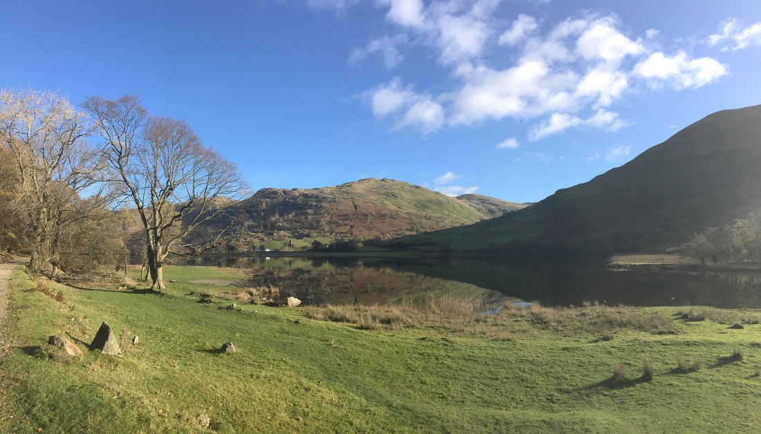
The glass like Brothers Water looking to Hartsop Dodd, Middle Dodd & High Hartsop Dodd
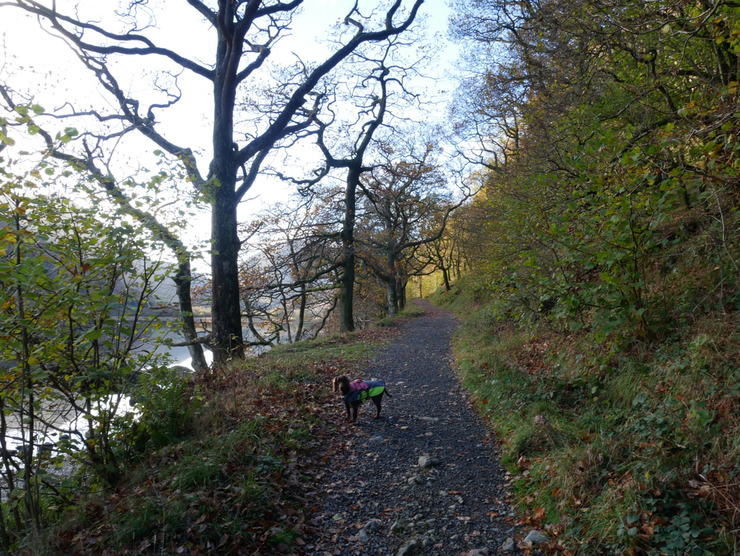
The initial part of the route to Hartsop Hall is on a good track which handrails Brothers Water.
Once called Broad Water, the name was changed to Brothers Water in the 19th century after two brothers drowned there.
Once called Broad Water, the name was changed to Brothers Water in the 19th century after two brothers drowned there.
Looking back to Brock Crags over Brothers Water
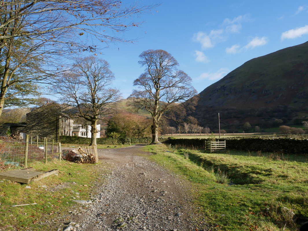
Hartsop Hall
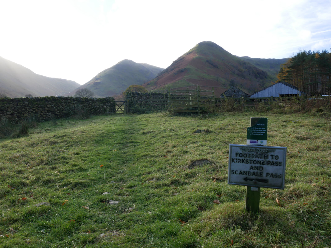
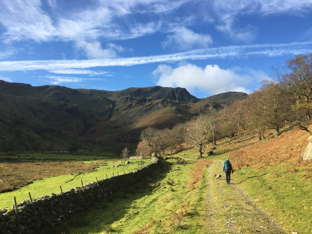
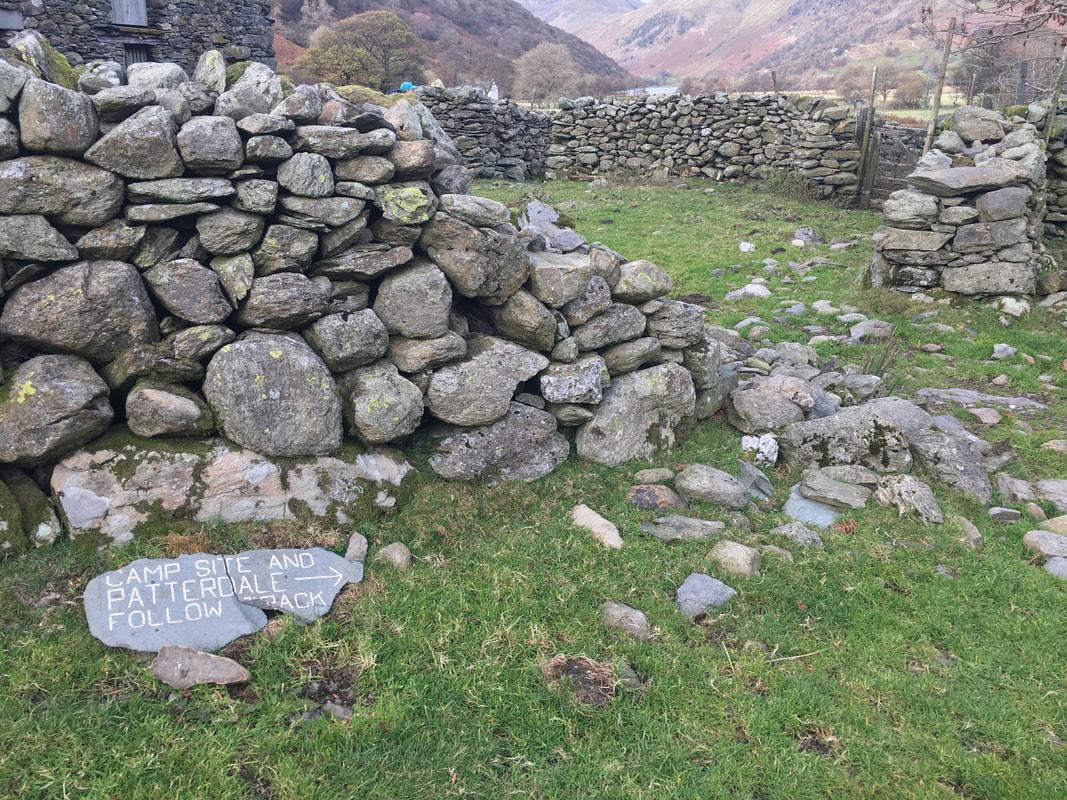
Just after Hartsop Hall the path splits. We would be heading to the right into Dovedale with this path being our route back once we had descended High Hartsop Dodd which is here on the right. Middle Dodd is the fell left of centre.
Hartsop Dodd
Heading into Dovedale looking to Dove Crag with Hart Crag to the right
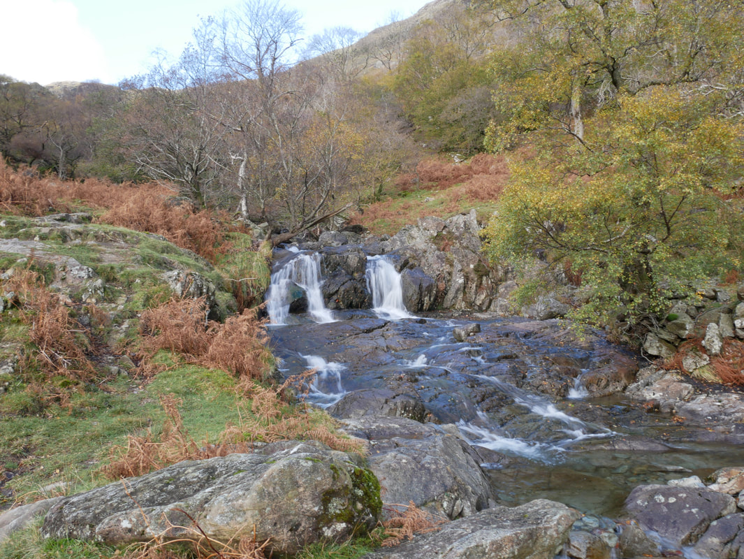
Cascades at Dovedale Beck

The path levels out as we head towards Stangs
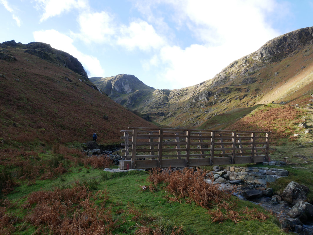
The footbridge over Dovedale Beck - we stayed on the left hand path
After a short flat section we were now in for some steep stuff
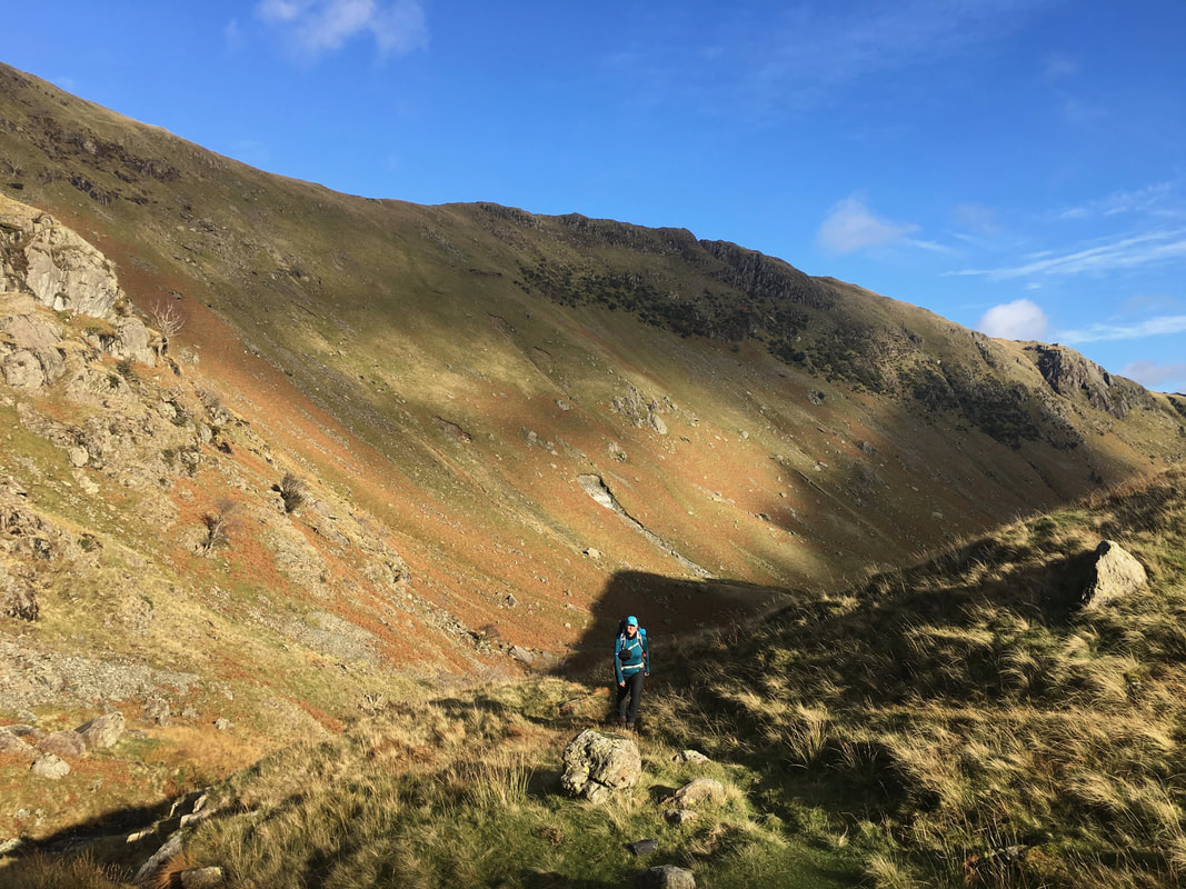
Glorious views back to Hartsop Above How as we make the ascent
Continuing the steeper part of the climb through Hunsett Cove - we were aiming for the col straight ahead
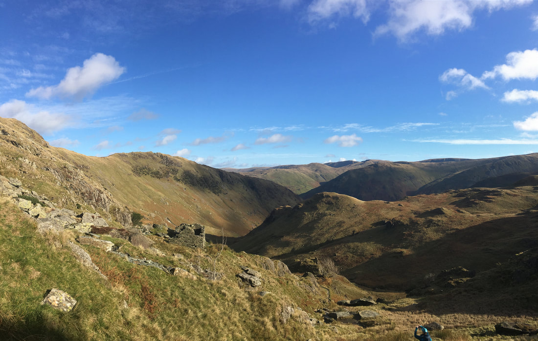
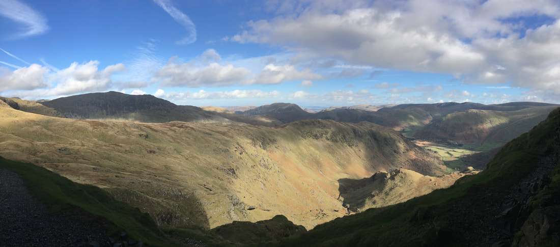
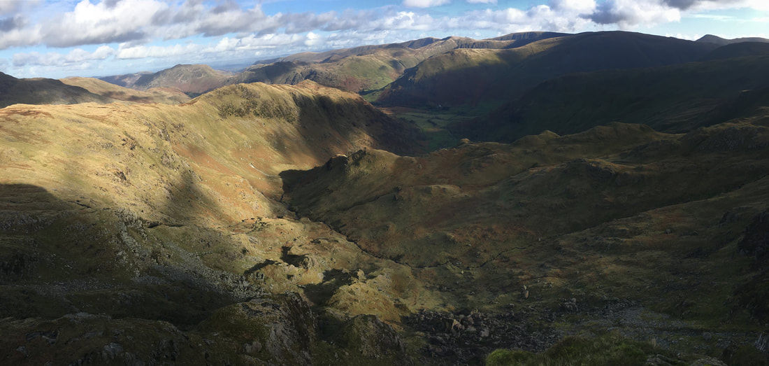
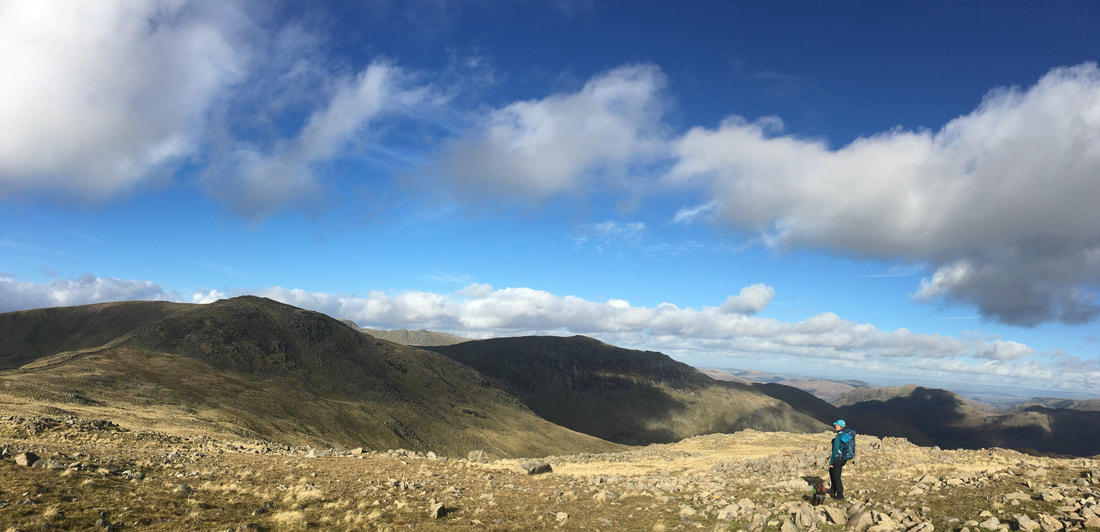
A glorious panorama of our route of ascent
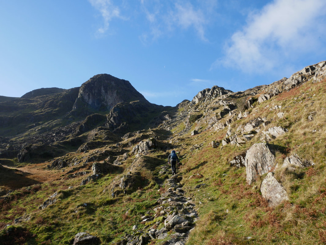
Climbing out of Hunsett Cove on the final part of the ascent which would bring us out near the Priest Hole access path.
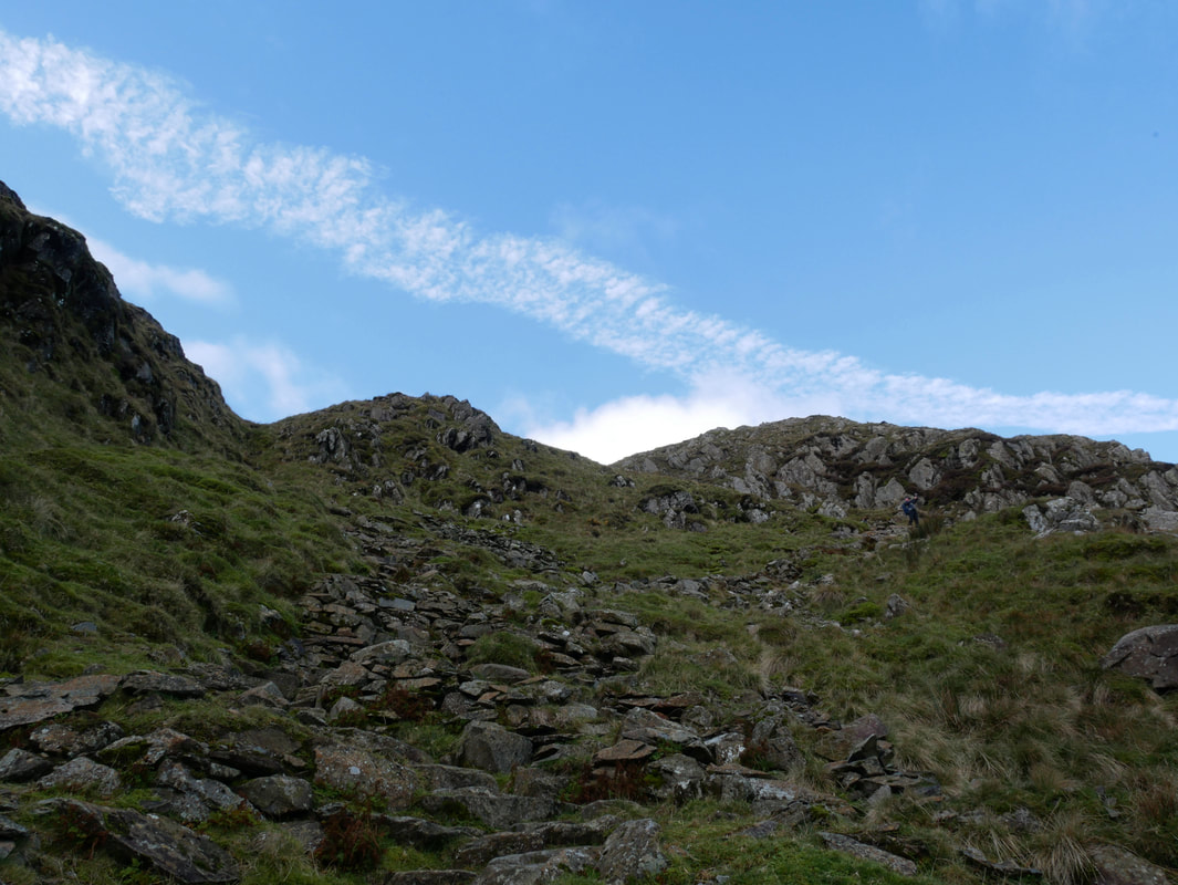
Despite it not looking like it from here, this is a very good pitched path.
Despite it not looking like it from here, this is a very good pitched path.
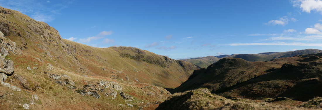
Hartsop Above How, Stangs and the Far Eastern Fells
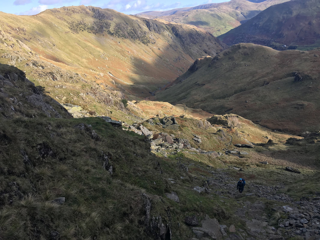
Looking back into Hunsett Cove
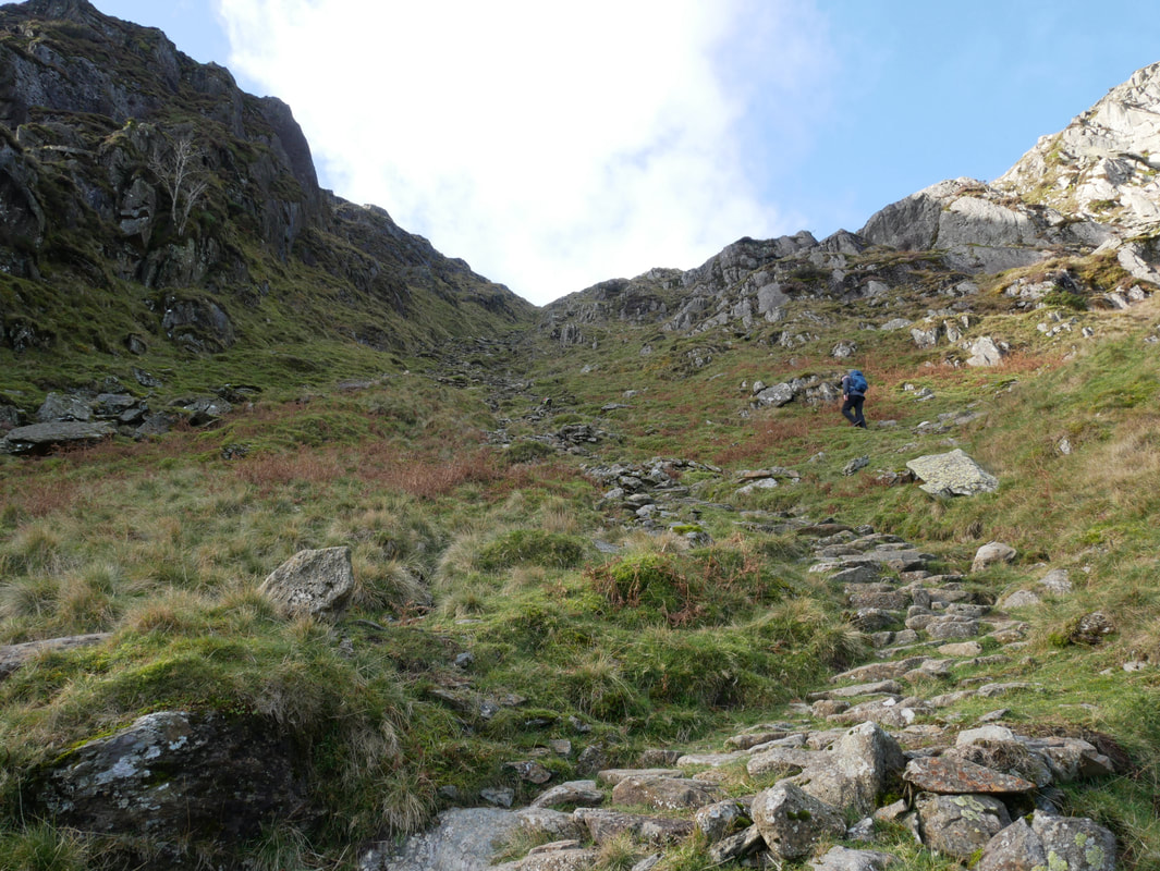
Just when you think the climbing is over you realise it isn't
The path tops out near Houndshope Cove with a hound in full view as well as Hart Crag
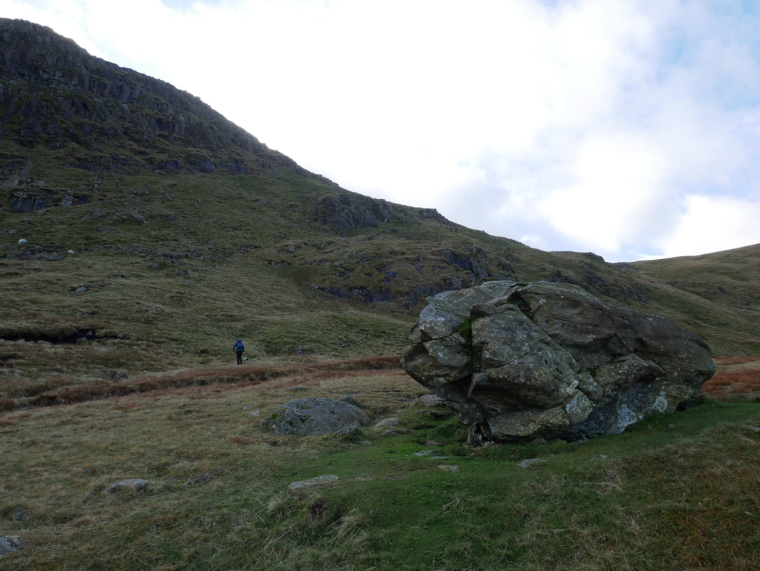
The large erratic boulder marks the point at where to head due south to pick up the access path for the Priest's Hole. For those not wanting to visit the Priest's Hole, the path continues to reach the wall in the col between Dove Crag & Hart Crag on the Fairfield Horseshoe. The Grid Reference for the large boulder is NY 37498 11125.
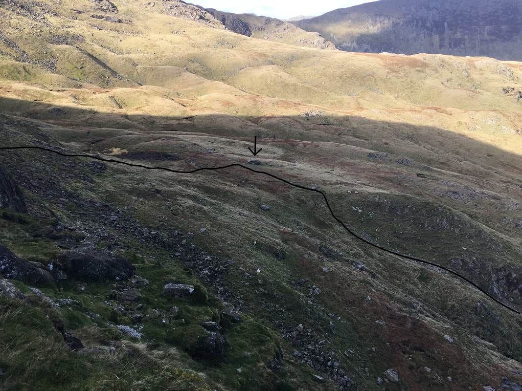
Looking back down to the large boulder (marked by the arrow) from the Priest's Hole path. To the right is the path emerging from Hunsett Cove to then reach the boulder. At the boulder make a left turn up a slope to meet the Priest Hole path coming in from the right.
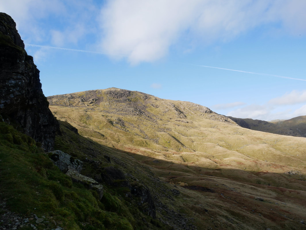
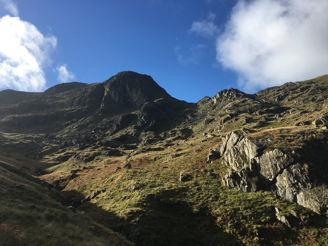
Hart Crag from the Priest Hole path
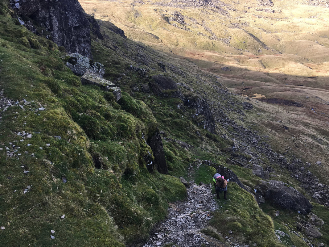
Fudge on the Priest Hole path.
The path is intermittent in parts but is never in doubt. It is just a question of taking your time across the loose stone.
The path is intermittent in parts but is never in doubt. It is just a question of taking your time across the loose stone.
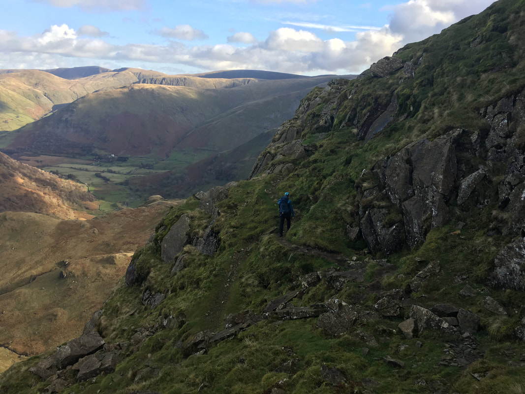
Another view of the transit along the Priest Hole path
|
|
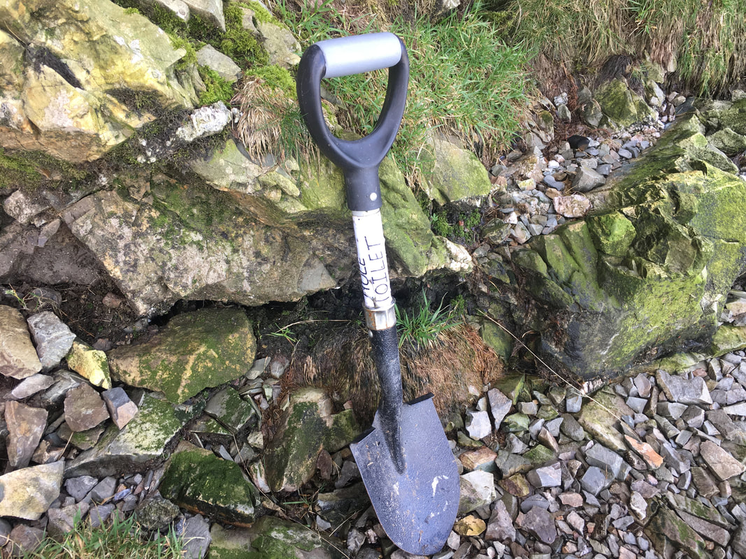
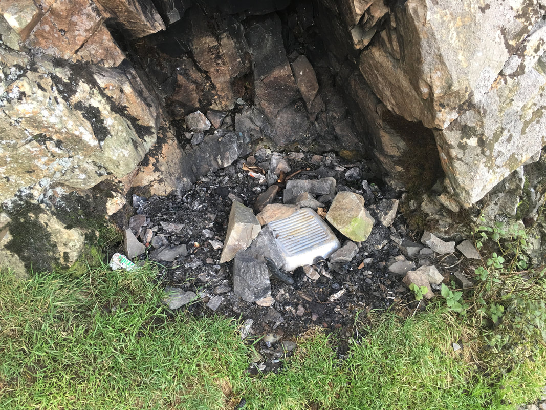
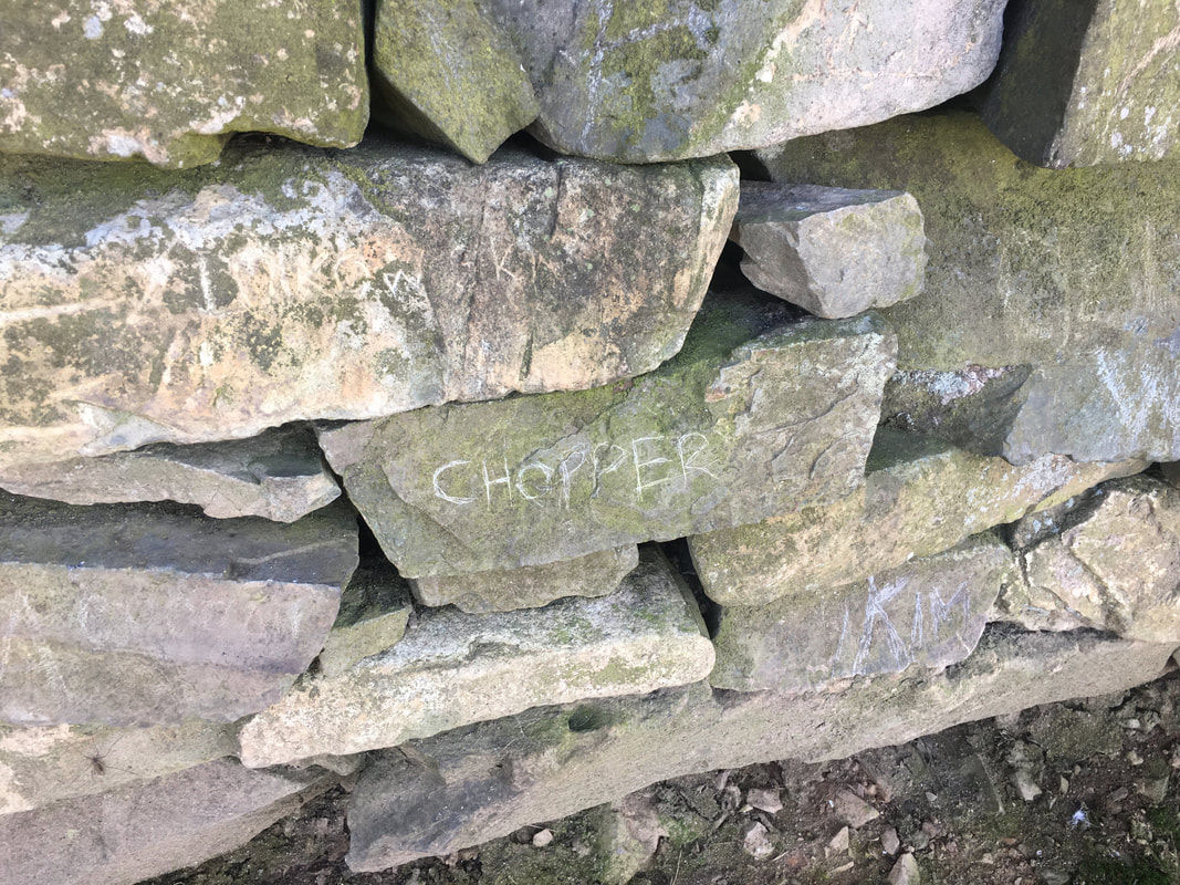
The picture on the left is of the very basic toilet facilities at the Priest Hole. The cave is used by many as a wild camping spot and as can be seen from the picture on the right, some people think it is ok to leave all their rubbish behind. In the past I have removed a fair bit of detritus from in and around the cave but today it was fairly tidy, probably due to the Patterdale Mountain Rescue Team who come up and give it a spruce up now and then.
If you take it up there then please bring it back down.
If you take it up there then please bring it back down.
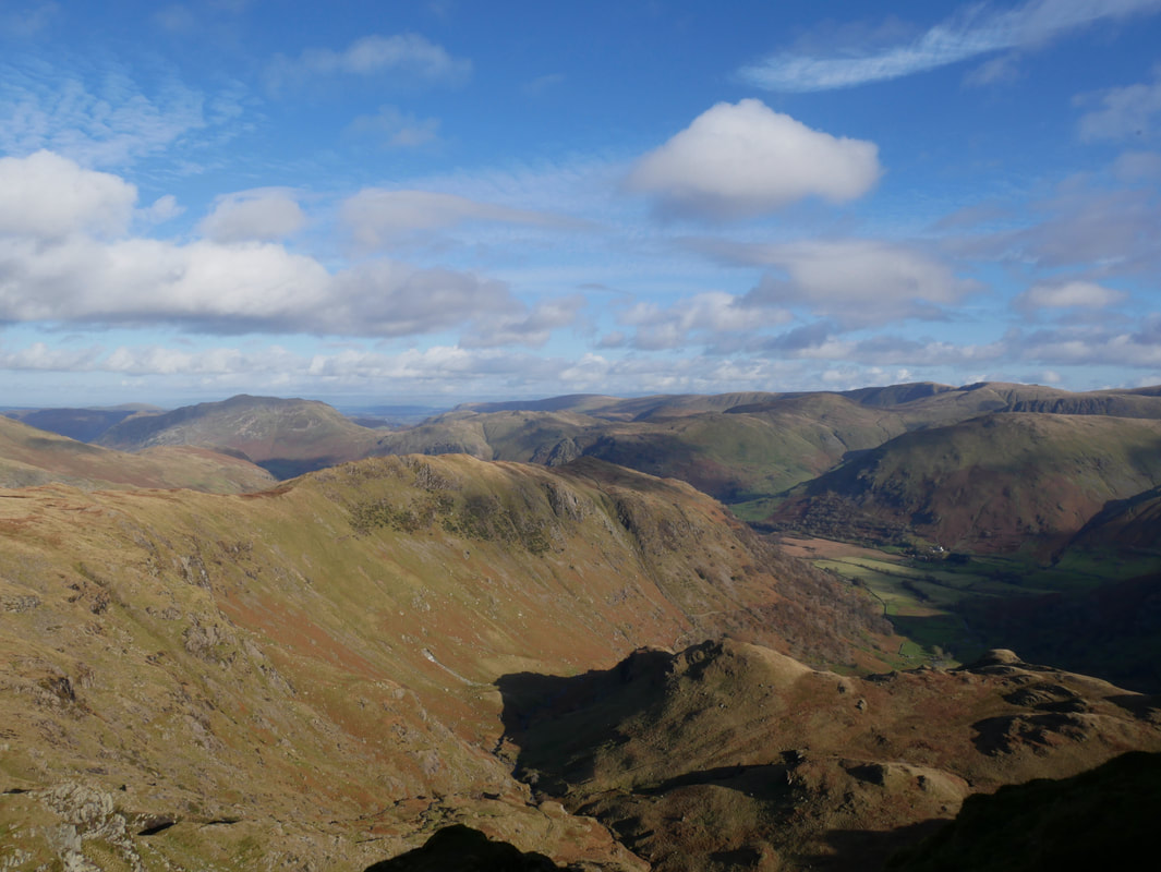
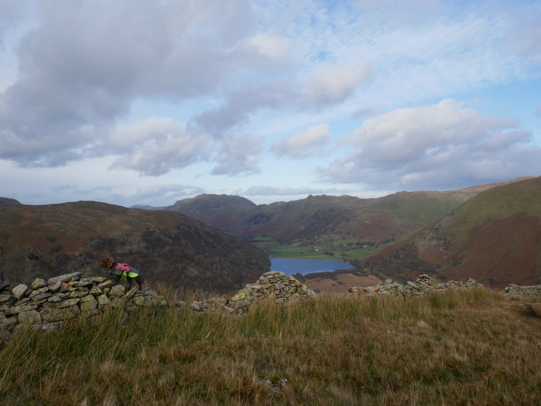
The Hartsop Above How ridge with St Sunday Crag to the left and Place Fell centre
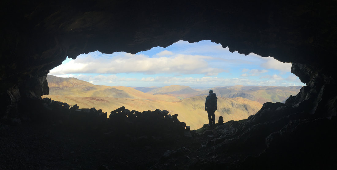
The classic picture from inside the Priest's Hole For those wishing to visit the cave, the Grid Reference is NY 37585 11000.
Yes mate you probably are one
The view from the Priest's Hole to the Far Eastern Fells
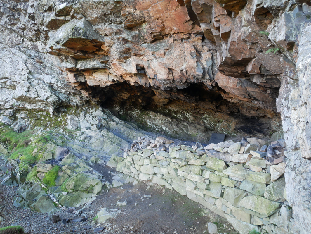
Looking in to the Priest's Hole. The wall to the right has clearly been built by overnight visitors in order to keep the wind out.
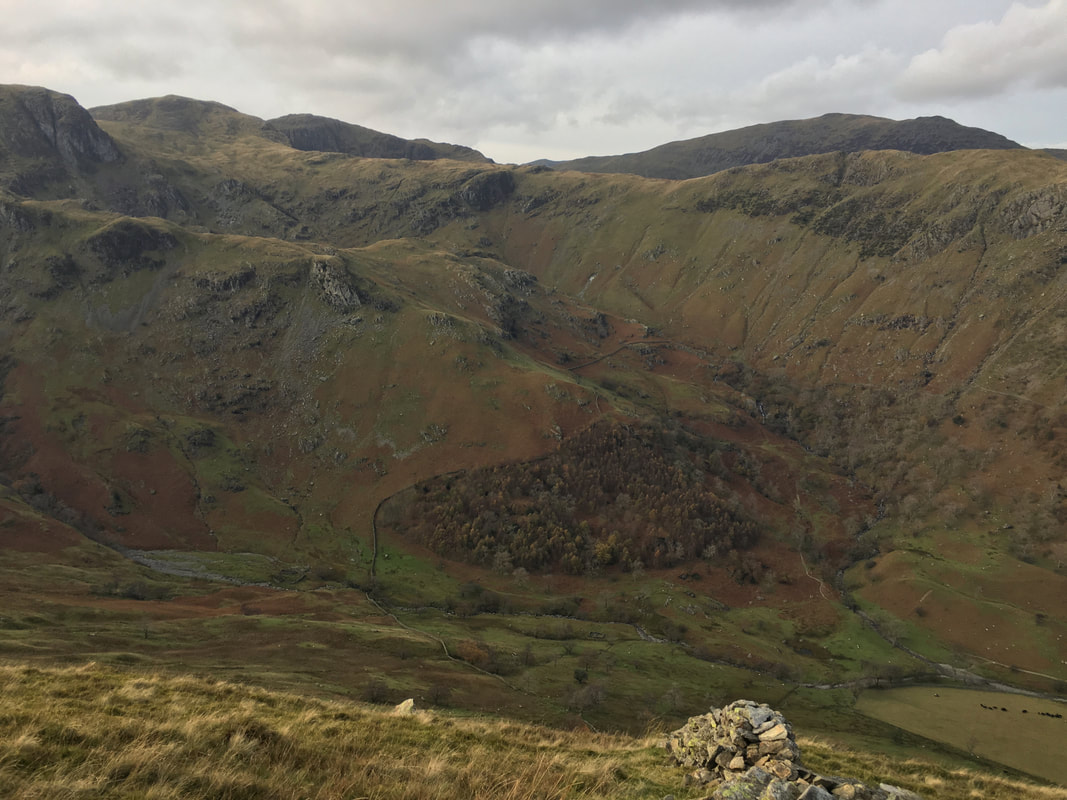
Another view of Dovedale and our route of ascent
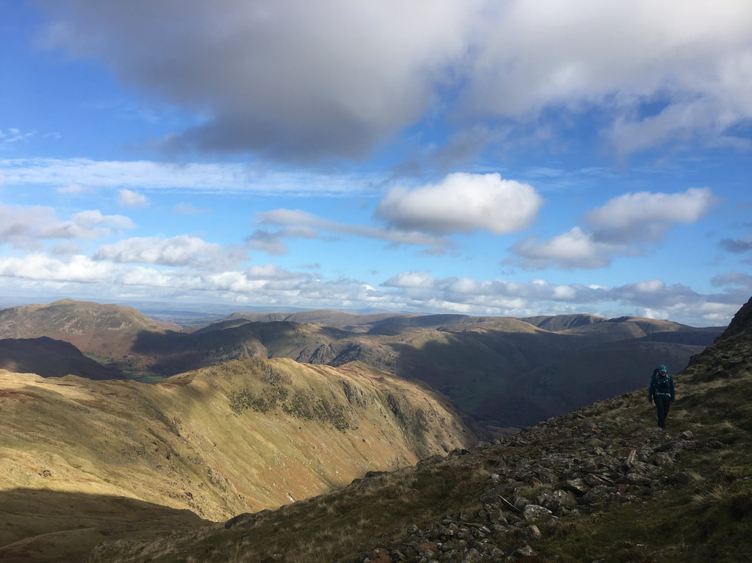
Leaving the Priest Hole the route heads back along the intermittent path - what a view back though.
Hart Crag - tempted as we were, we swung left to head to the col between it and Dove Crag
Great Rigg with Fairfield to the right.
With the visibly being so good we headed around to the left over rough ground to reach Dove Crag.
However if the visibility is not so great then take a bearing on the wall ahead and then turn left and follow the wall to reach Dove Crag.
With the visibly being so good we headed around to the left over rough ground to reach Dove Crag.
However if the visibility is not so great then take a bearing on the wall ahead and then turn left and follow the wall to reach Dove Crag.
Looking to Hart Crag & Hartsop Above How from Dove Crag
Looking to Fairfield & Hart Crag from Dove Crag
The summit of Dove Crag
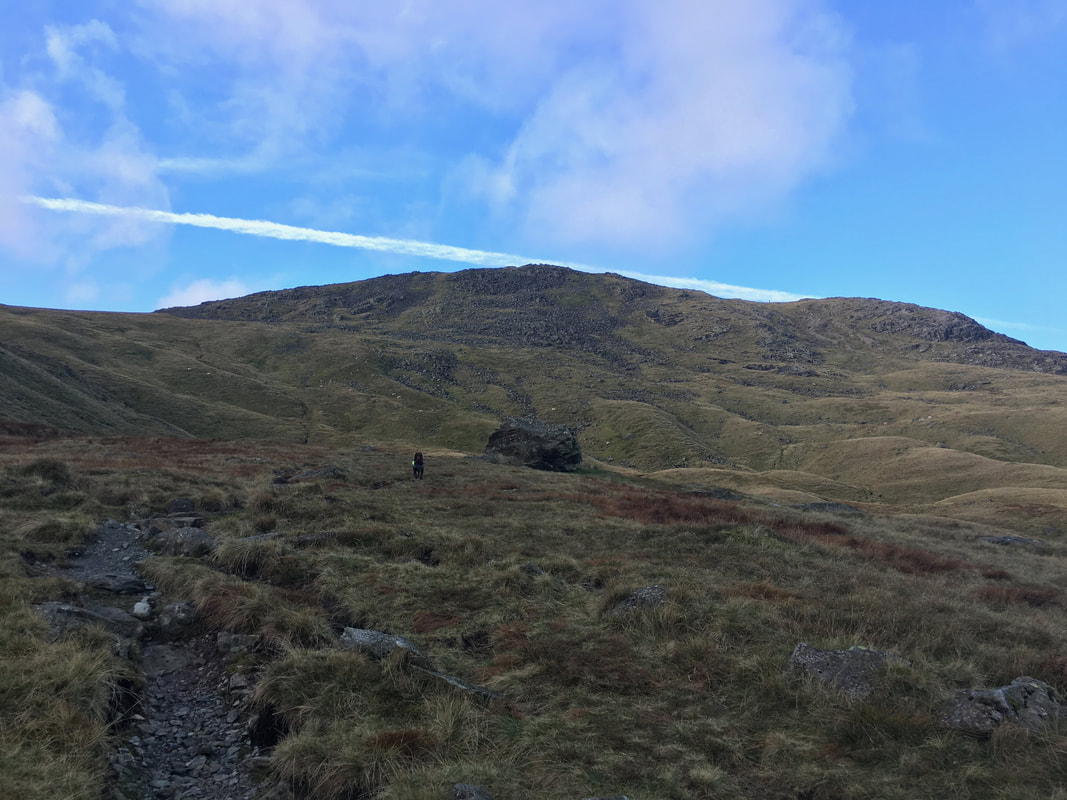
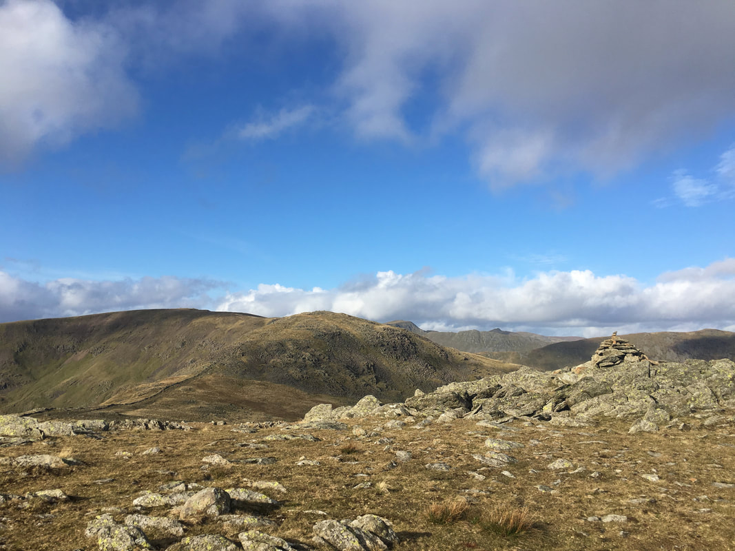
Heading for High Bakestones
We followed the wall in the direction of High Pike from where a good path leaves the wall at NY 3741 0984
We followed the wall in the direction of High Pike from where a good path leaves the wall at NY 3741 0984
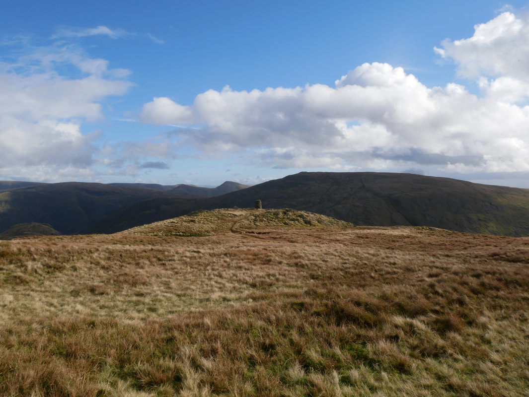
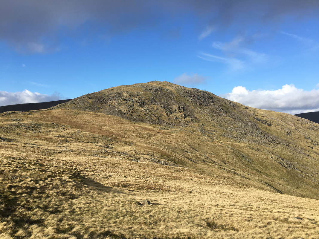
Approaching High Bakestones with Red Screes to the right
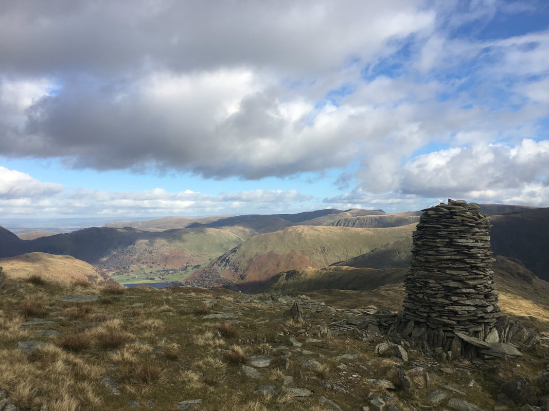
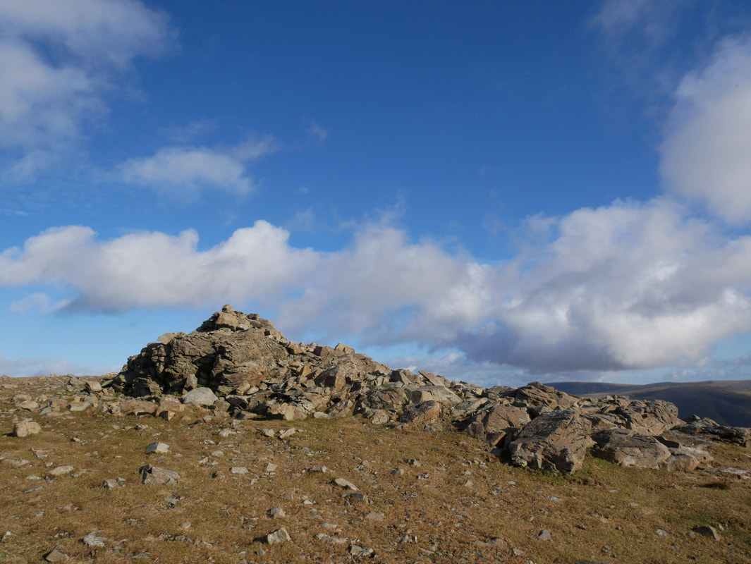
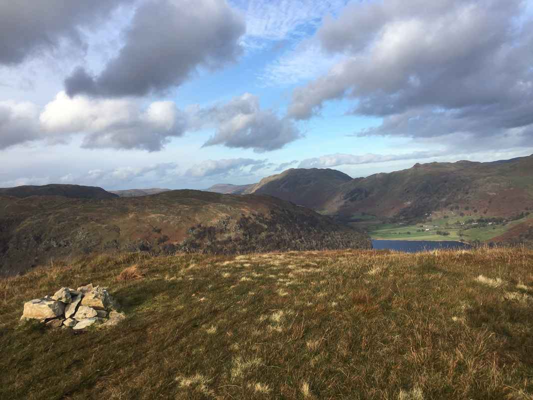
The large cairn on the summit of High Bakestones
The fell is well worth a visit as the views are outstanding from here. In the past there have been a few cairns adorning the summit like the one pictured but for some reason only this one survives. Wainwright himself said "It is more than a cairn. It is a work of art and a lasting memorial to its builder" (Dove Crag 9).
The fell is well worth a visit as the views are outstanding from here. In the past there have been a few cairns adorning the summit like the one pictured but for some reason only this one survives. Wainwright himself said "It is more than a cairn. It is a work of art and a lasting memorial to its builder" (Dove Crag 9).
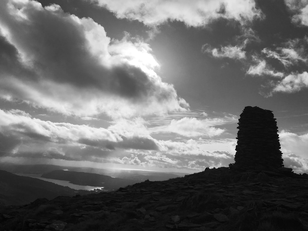
The cairn on High Bakestones in mono looking to Windermere
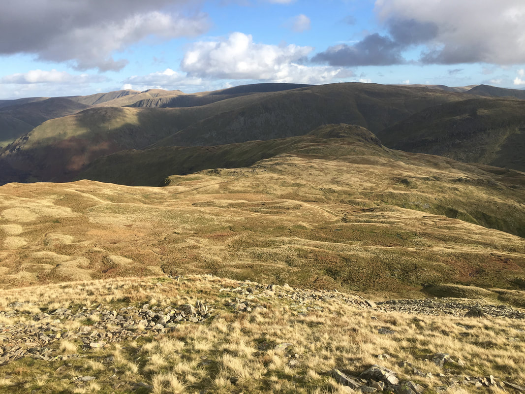
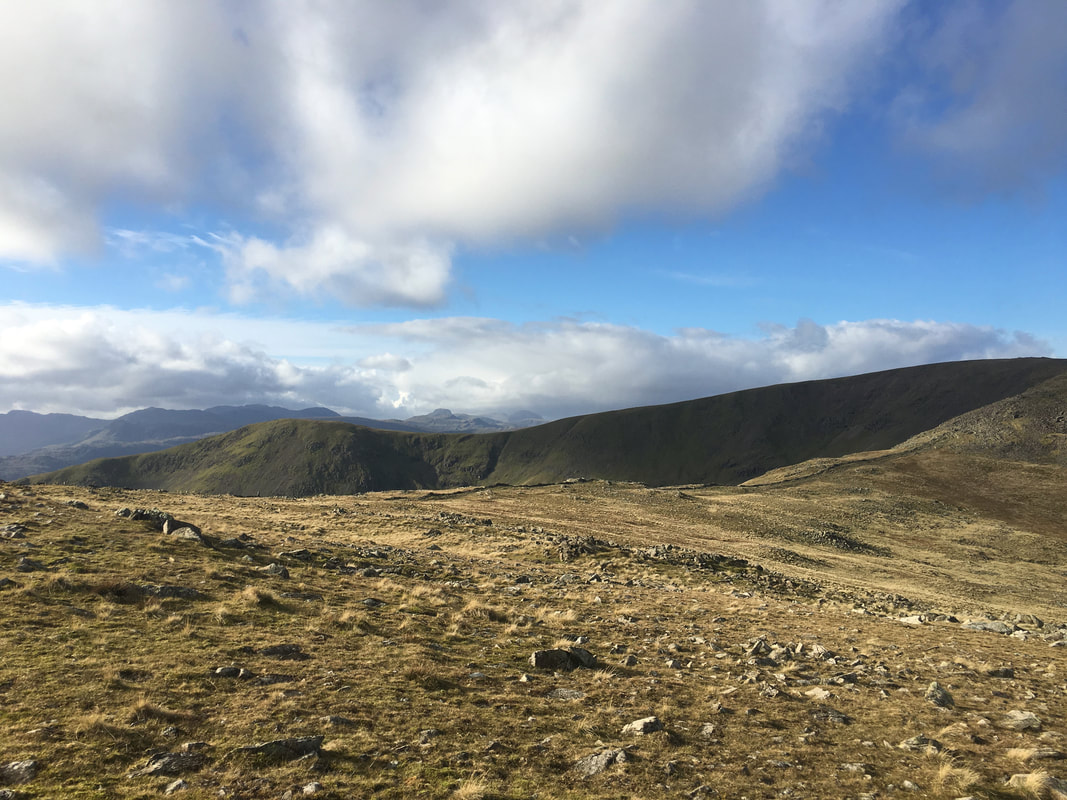
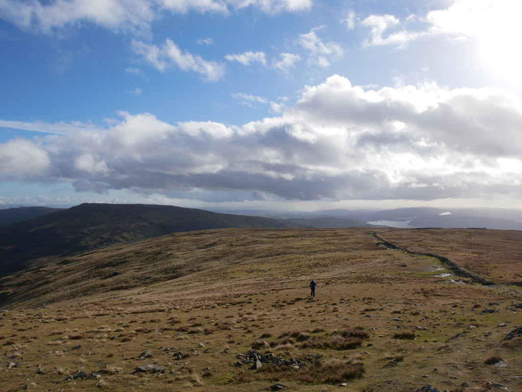
From High Bakestones a rough path heads down to Little Hart Crag which is the lump to the centre right
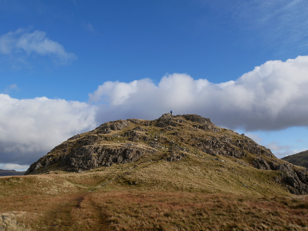
Little Hart Crag
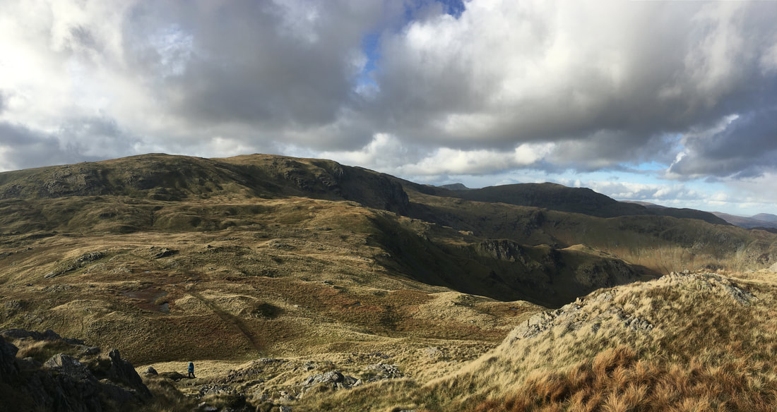
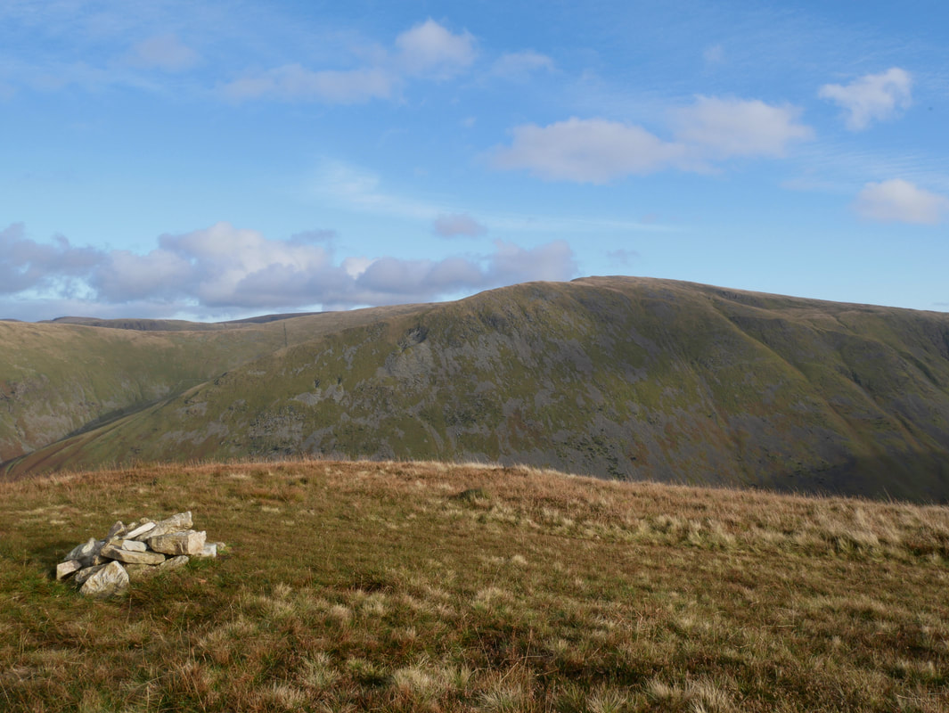
The view back to High Bakestones & Dove Crag from Little Hart Crag
Little Hart Crag looking to Red Screes & Middle Dodd
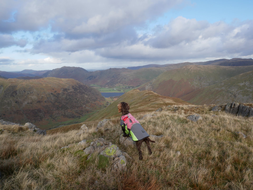
Fudge leads the way as we leave Little Hart Crag for High Hartsop Dodd
The summit of High Hartsop Dodd
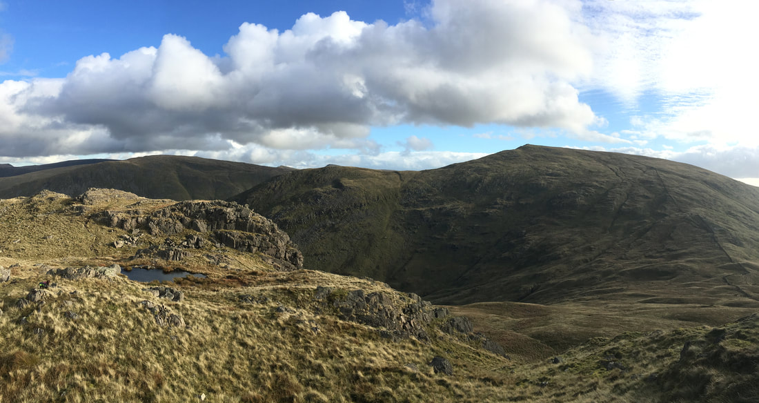
High Hartsop Dodd looking to Hartsop Dodd
Crossing the ruined wall - from here the route descends very steeply to reach the valley floor
Looking into Dovedale & our outward route which can be seen to the right
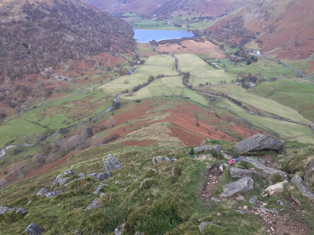
The view of our descent from near the broken wall - Brothers Water can be seen down below
The route rejoins our outward route back to Cow Bridge
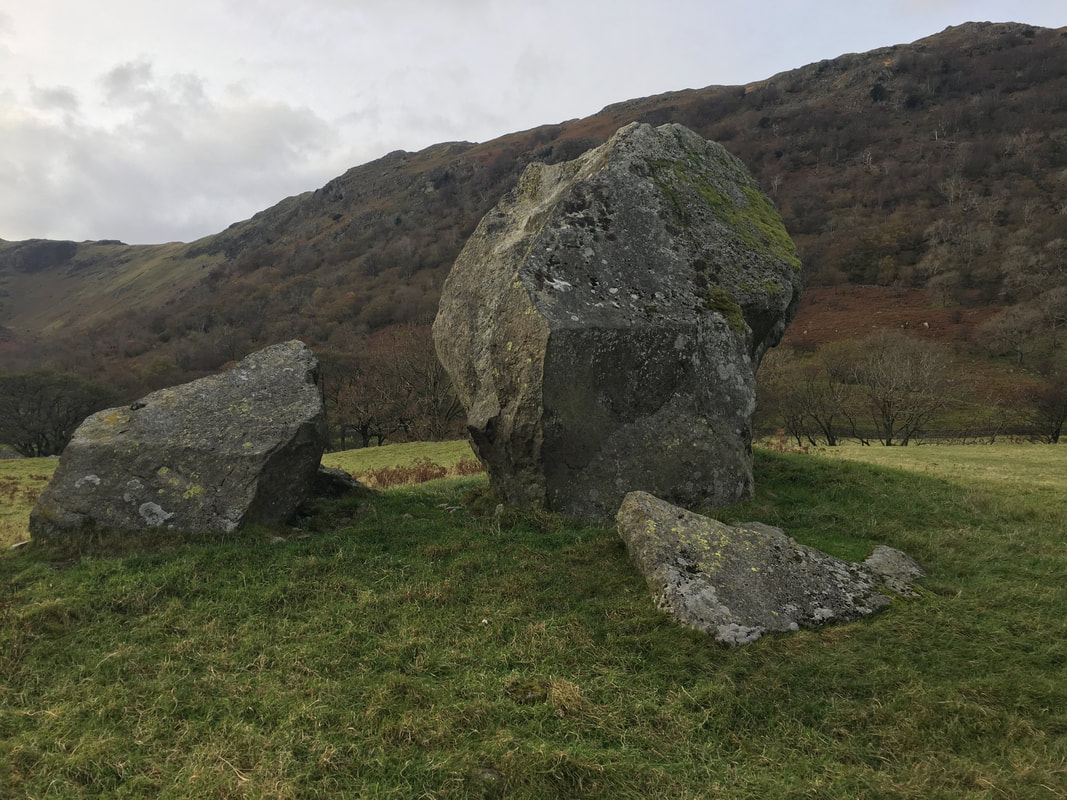
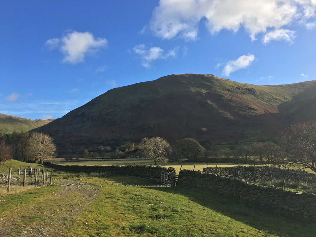
Near Hartsop Hall several large boulders adorn the perimeter of an earthen embankment which mark the site of an ancient settlement