Stonethwaite to Grasmere - Friday 27 January 2023
Route
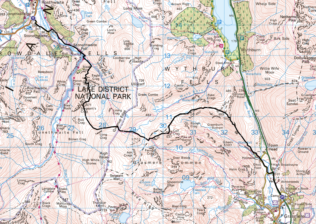
Stonethwaite - Stonethwaite Bridge - Smithymire Island - Bleak How - Eagle Crag - Sergeant's Crag - Long Crag - Greenup Edge - Brownrigg Moss - Calf Crag - Steel Fell - Cotra Breast - Ghyll Foot - Mill Bridge - Grasmere
Parking
For this linear walk we parked in Keswick and caught the Borrowdale Rambler bus to Stonethwaite. On arrival in Grasmere we caught the 555 bus back to Keswick.
Mileage
10 miles
Terrain
Mountain paths with some road walking on quiet lanes. Whilst not exposed, there is some mild scrambling on the ascent of Eagle Crag.
Weather
A game of two halves - sunny and bright in the forenoon turning overcast in the afternoon.
Time Taken
6hrs 50mins
Total Ascent
2480ft (756m)
Wainwrights
4
Map
OL4 - The English Lakes (North Western Area)
Walkers
Dave, Angie & Fudge
|
GPX File
|
| ||
If the above GPX file fails to download or presents itself as an XML file once downloaded then please feel free to contact me and I will send you the GPX file via e-mail.
Route Map
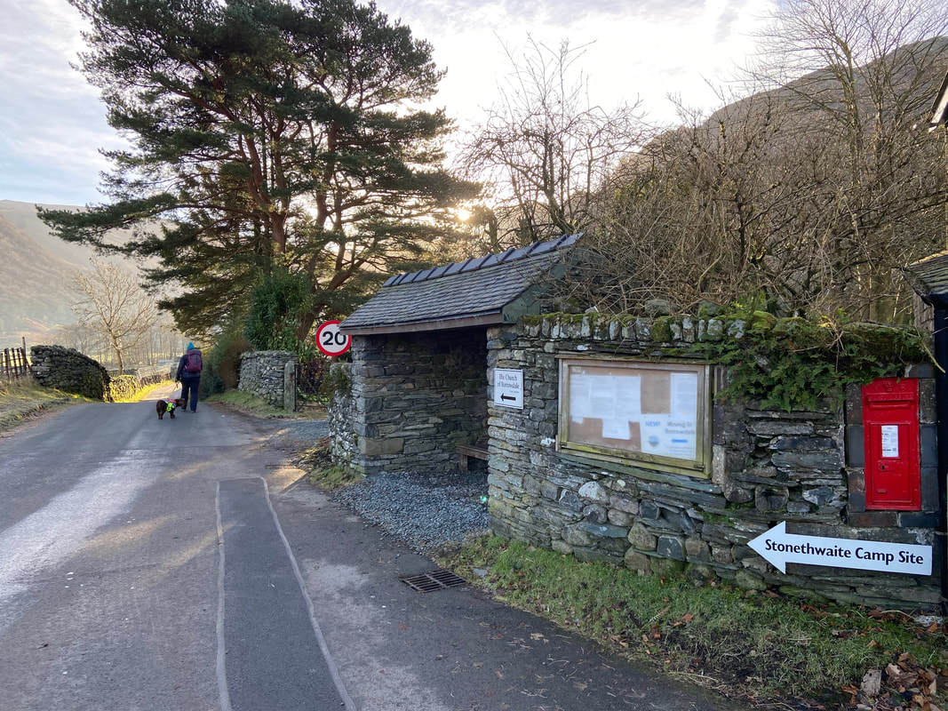
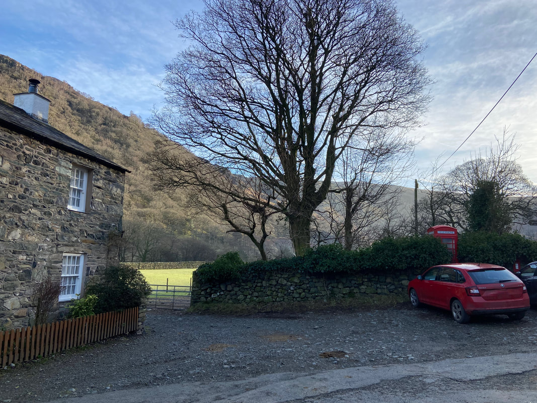
Having parked our car in Keswick we caught the bus to Stonethwaite and alighted at the top of the lane leading into the village
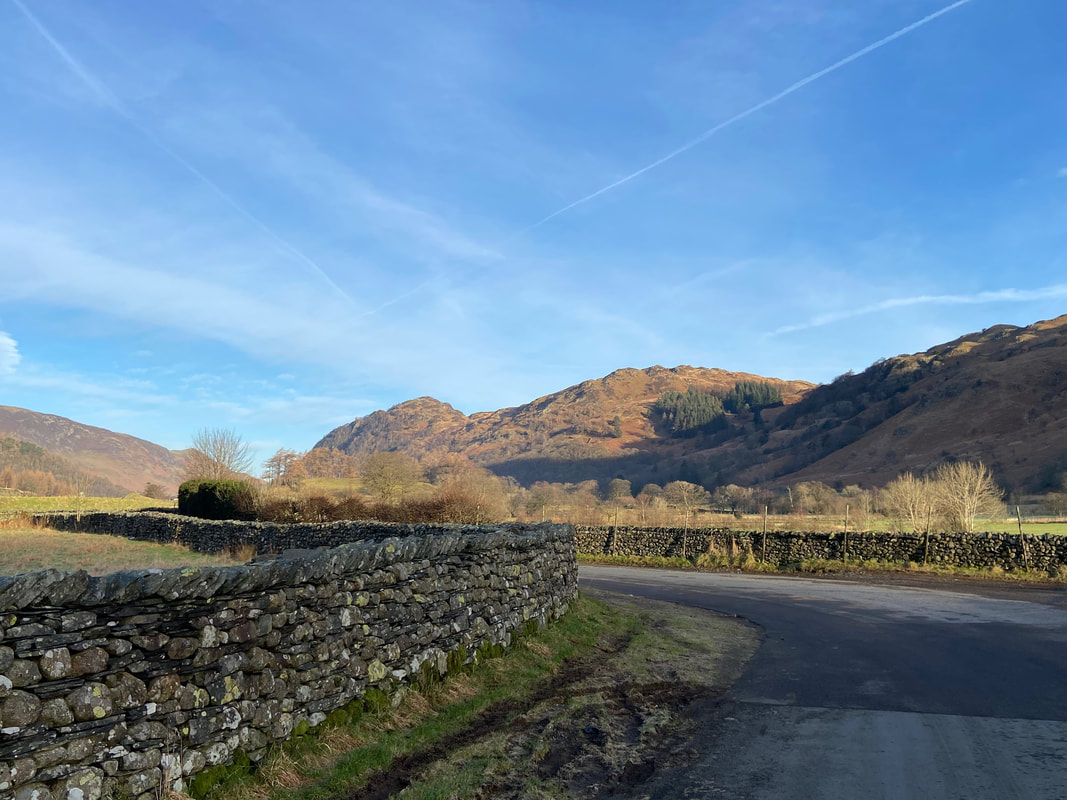
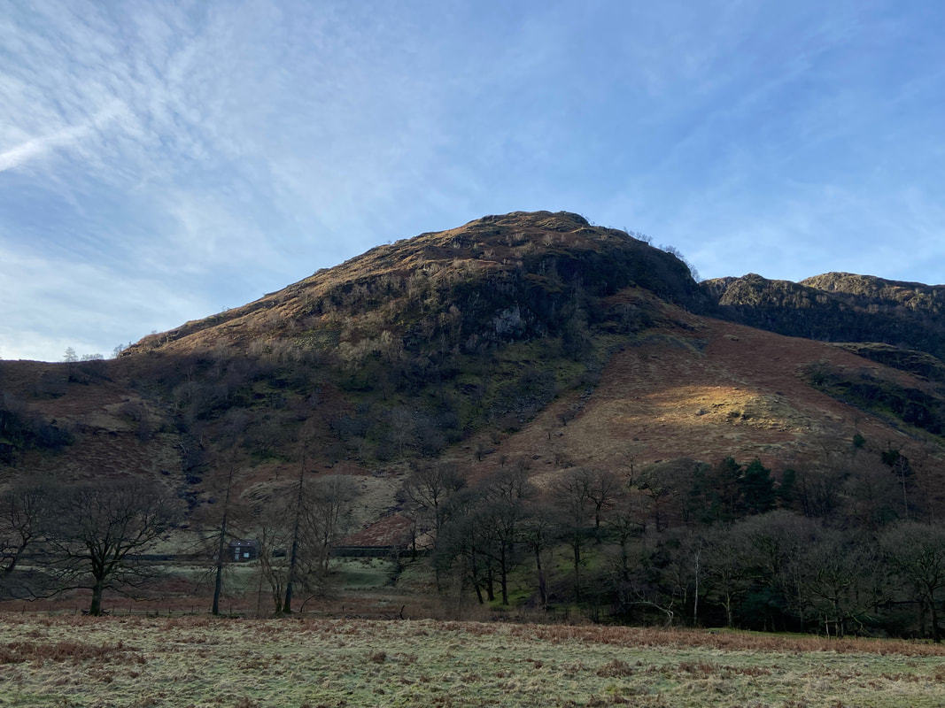
Looking into Borrowdale from the road junction to the two summits of Grange Fell - King's How & Brund Fell
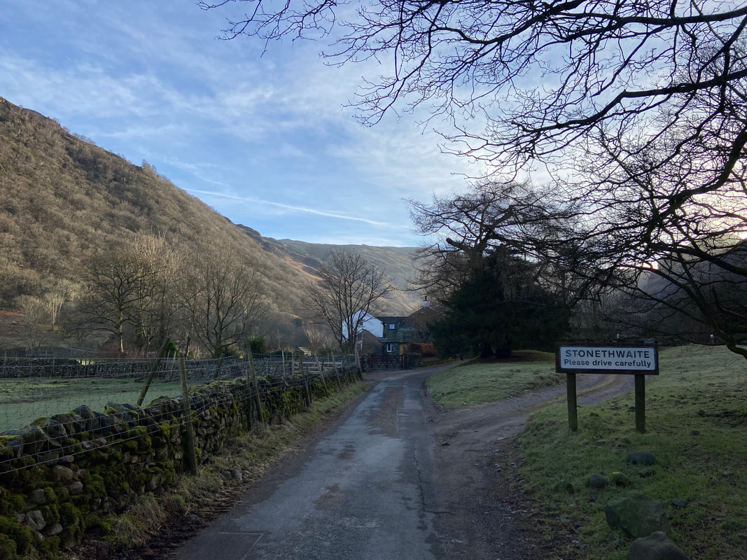
Entering Stonethwaite
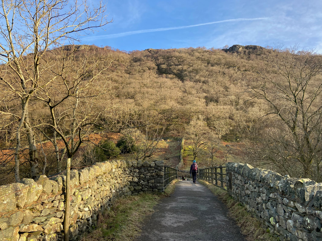
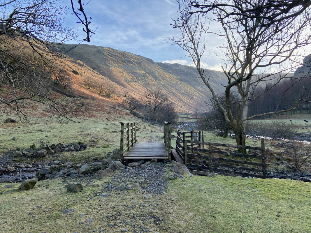
Just past the entrance to the village a path leads off to the left in the direction of Stonethwaite Bridge
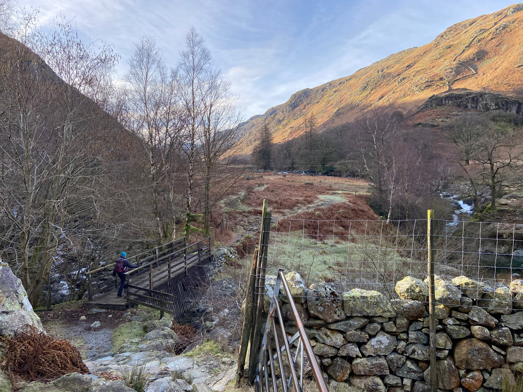
Crossing Stonethwaite Beck via the bridge to join the Coast to Coast & Cumbria Way routes coming in from Rosthwaite
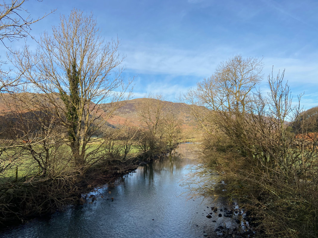
Stonethwaite Beck
Over the past year the National Trust has made a concerted effort to improve Stonethwaite Beck in order for it to be an easier habitat for wildlife to thrive. Previously the beck ran straight and therefore water ran rapidly downstream proving to be a challenging environment for young fish and invertebrates to survive in. The organisation has introduced natural features into the river channel and floodplain including riffles, rapids and pools in order to create ideal environments for a range of animals and plants to thrive. They hope to create potential spawning grounds for Atlantic Salmon, a rare species on the brink of collapse.
Over the past year the National Trust has made a concerted effort to improve Stonethwaite Beck in order for it to be an easier habitat for wildlife to thrive. Previously the beck ran straight and therefore water ran rapidly downstream proving to be a challenging environment for young fish and invertebrates to survive in. The organisation has introduced natural features into the river channel and floodplain including riffles, rapids and pools in order to create ideal environments for a range of animals and plants to thrive. They hope to create potential spawning grounds for Atlantic Salmon, a rare species on the brink of collapse.
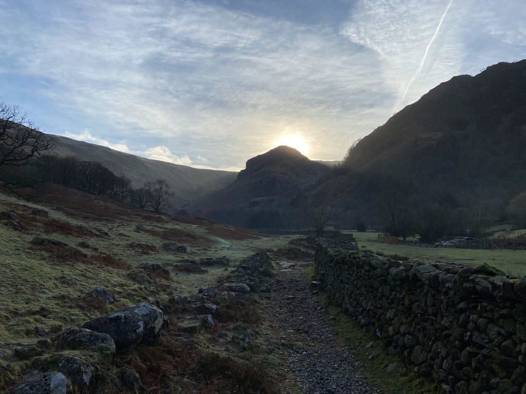
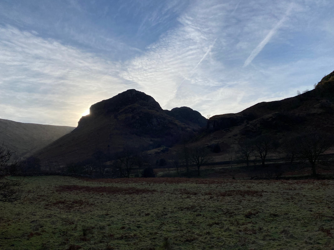
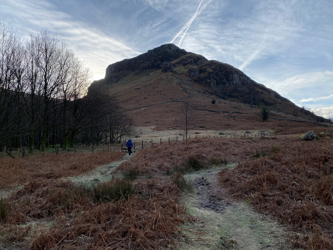
The familiar outline of Eagle Crag with the sun rising behind
The footbridge over Willygrass Gill
Dale Head & High Spy
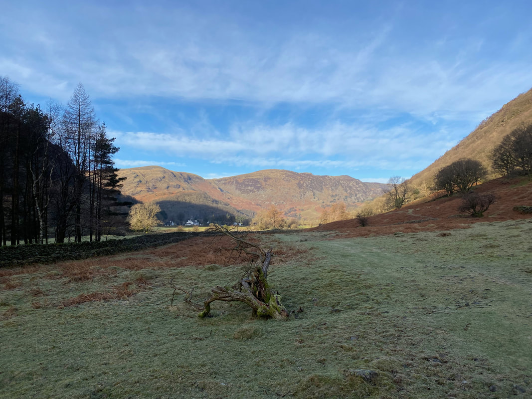
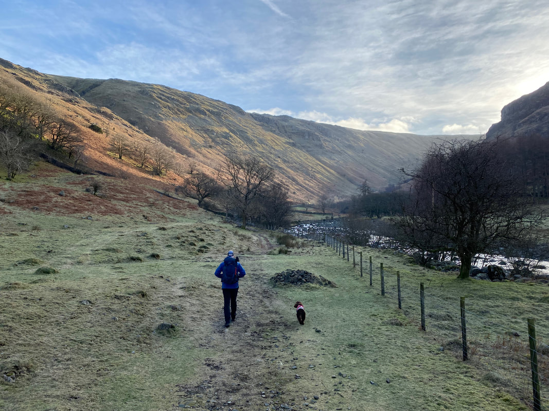
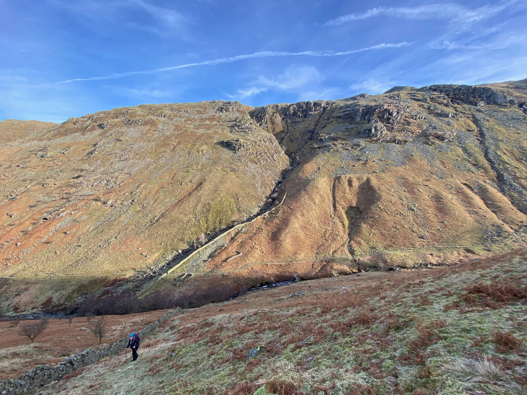
The route continues to handrail Stonethwaite Beck with the valley of Greenup Gill ahead
Eagle Crag in silhouette with Sergeant's Crag now in view
Looking across to Alisongrass Crag on Rosthwaite Fell
The sound of water in a beautiful place (Click Play to view)
Leaving the Coast to Coast path at Smithymire Island, our route crosses the footbridge at the confluence of Greenup Gill and Langstrath Beck. We would be turning to the left shortly however carrying straight on leads to a delightful walk through the beautiful Langstrath Valley and on to Langdale.
From the footbridge the path splits into two - Eagle Crag to the left and Langstrath to the right
The route then heads across two fields in the middle of which is a gate in the wall
At the end of the second field the route heads through a ruined part of the wall
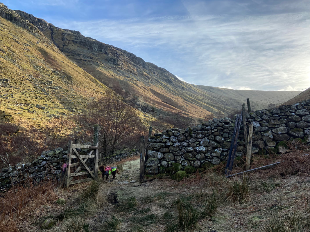
Greenup Gill from the broken wall gap
Looking across to Long Band on the slopes of Ullscarf
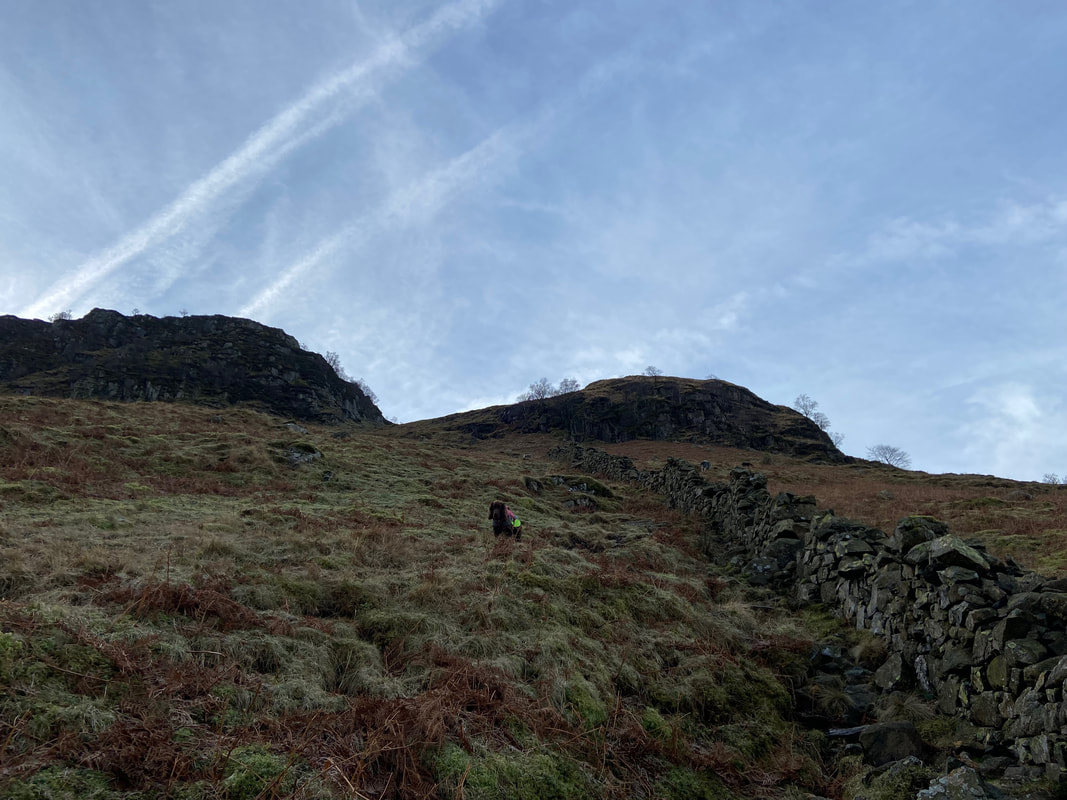
A faint and steep path heads up the left hand side of the wall towards Bleak How
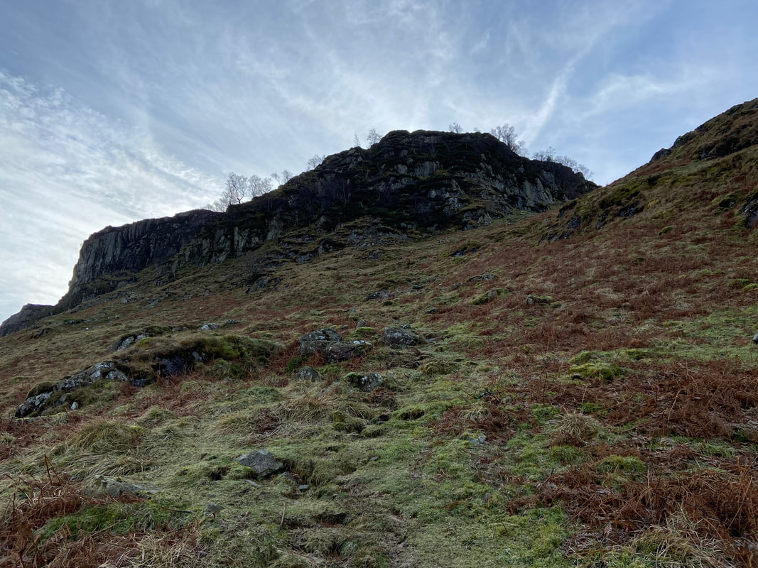
Eagle Crag to the left with Bleak How to the right - the path eventually curves slightly left to pass between the two
This is a steep ascent and as usual the photo doesn't convey how much!
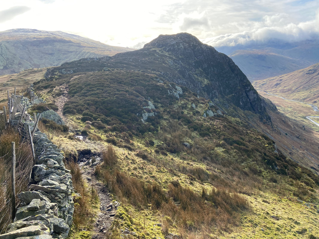
Near Bleak How the path bears slightly left and heads towards the buttress on Eagle Crag
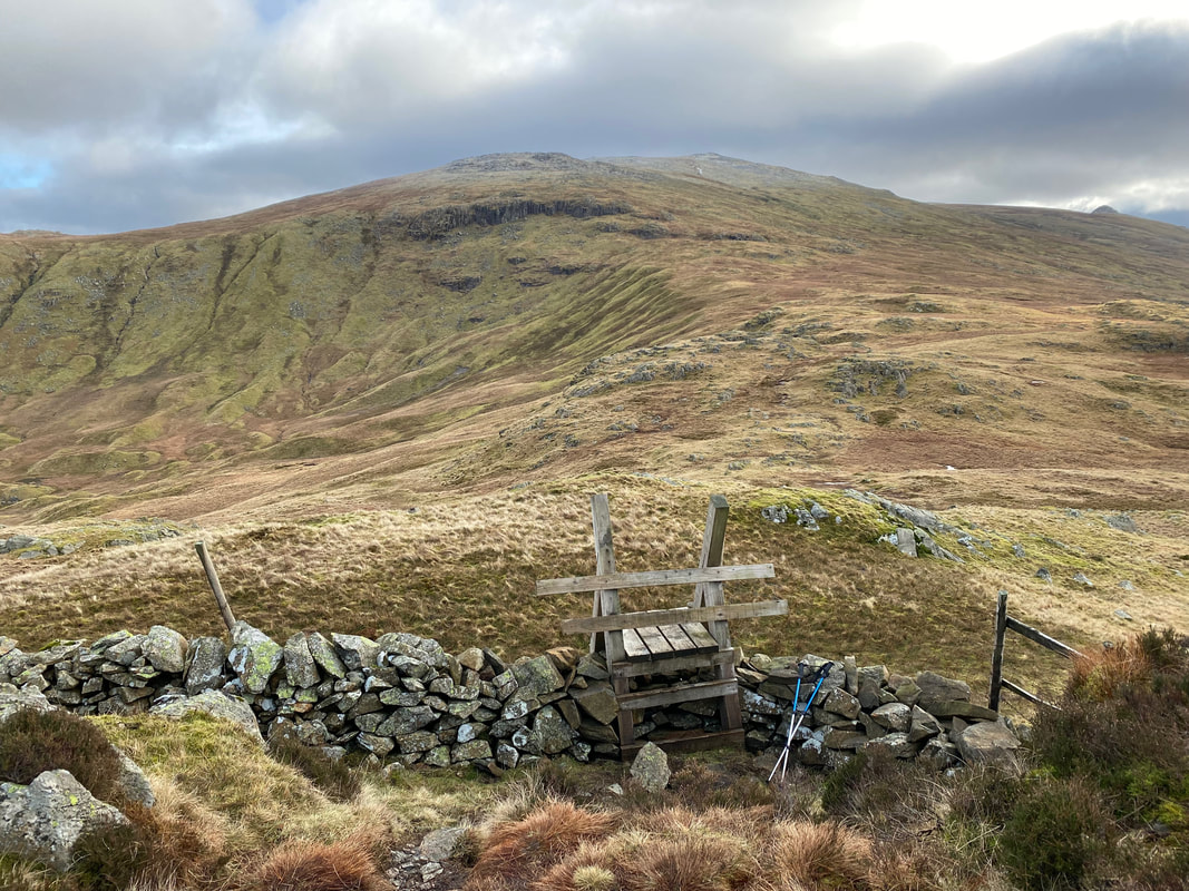
Eventually the steepness relents and a stile is reached below the buttress
Rosthwaite Fell from the stile
From the stile the path continues steeply over rough ground. I am stood at Grid Reference NY 27454 12223 at a point Wainwright described as "the key to the ascent" (Eagle Crag 4).
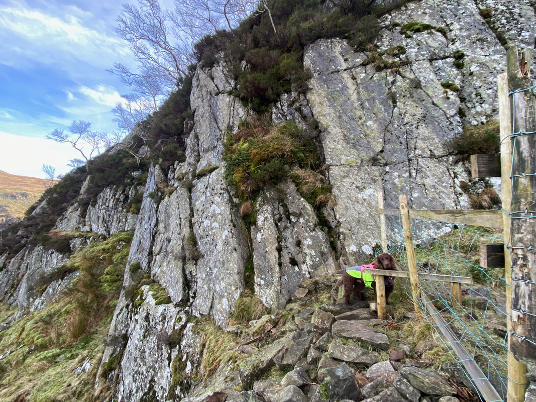
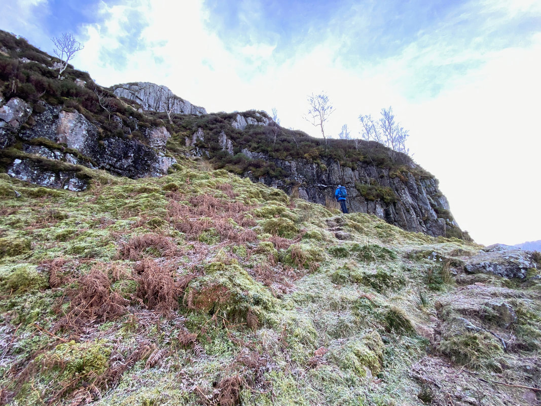
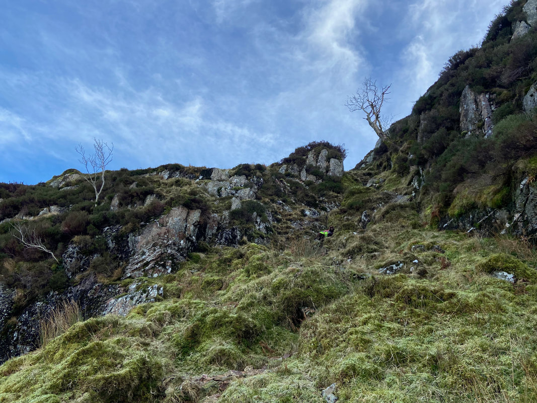
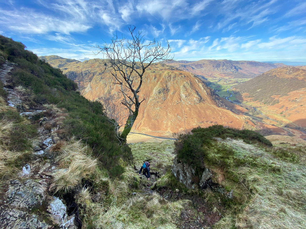
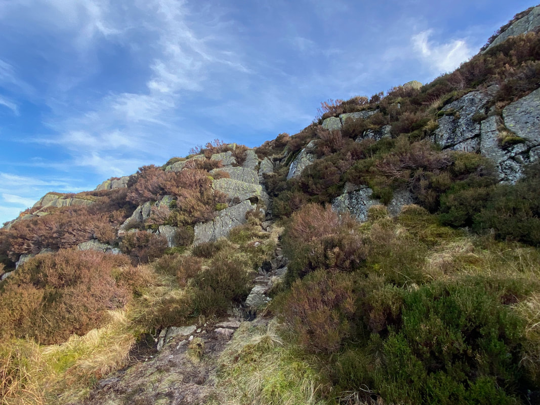
The "key to the ascent" is a steep, short gully - the path of which keeps to the left of the Rowan Tree ahead. Fudge, keen as ever has already started his climb.
Rosthwaite Fell from the bottom of the gully
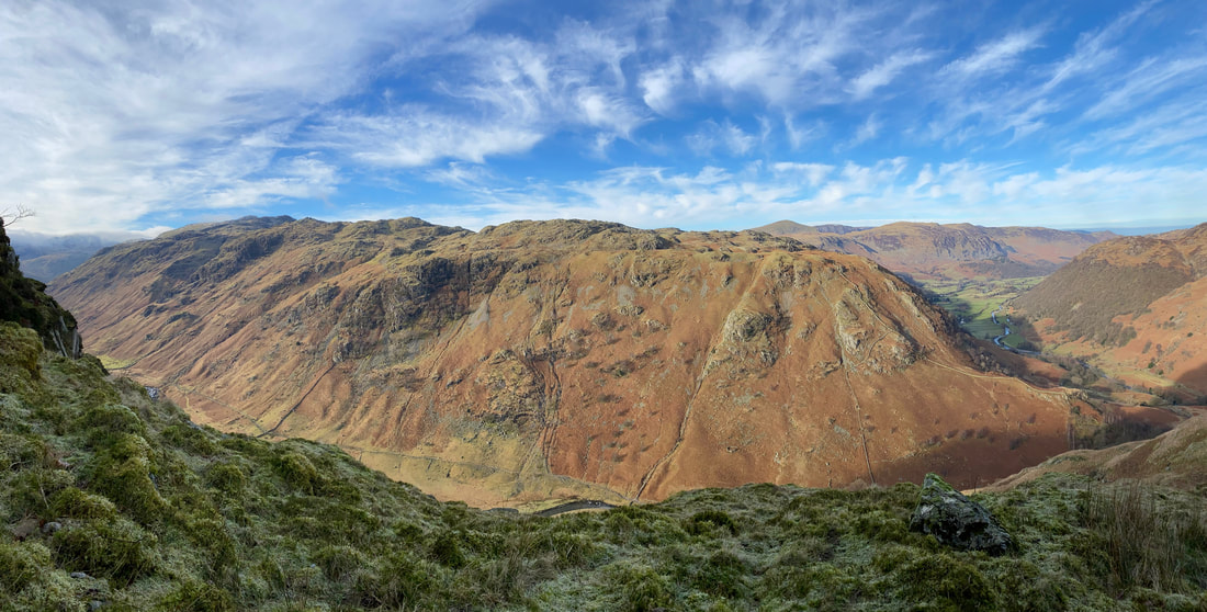
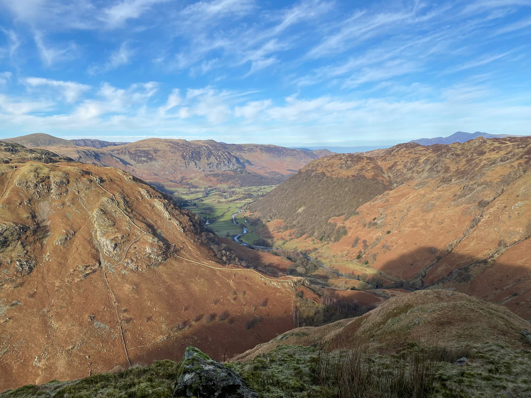
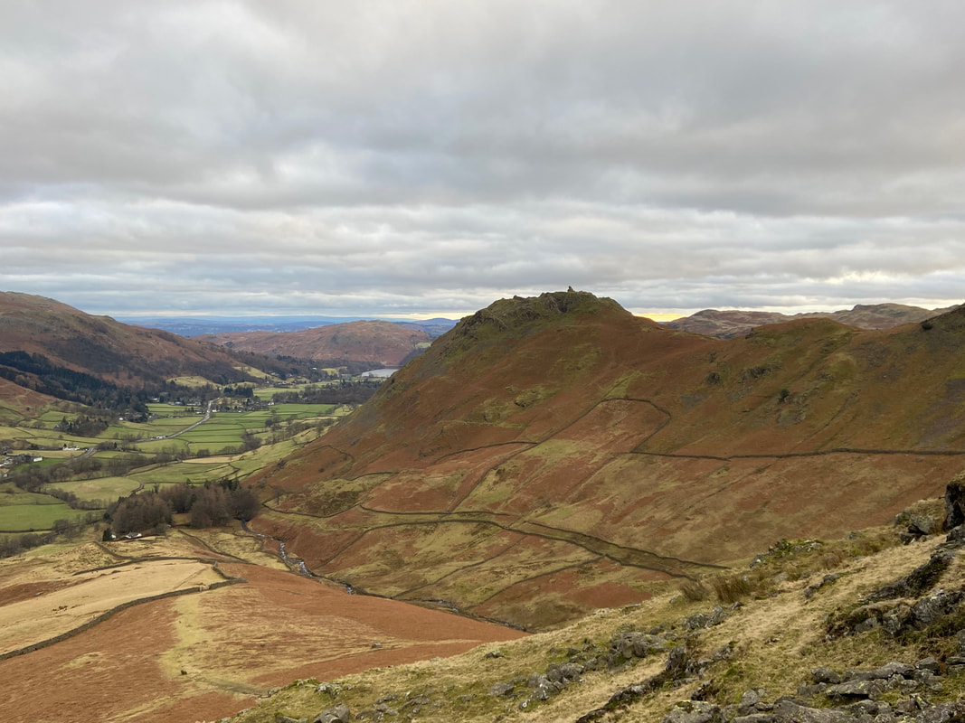
A little further round and we get this glorious view down the Borrowdale Valley with Skiddaw over to the right
Looking into the gully from the top as Angie makes her way up past the Rowan
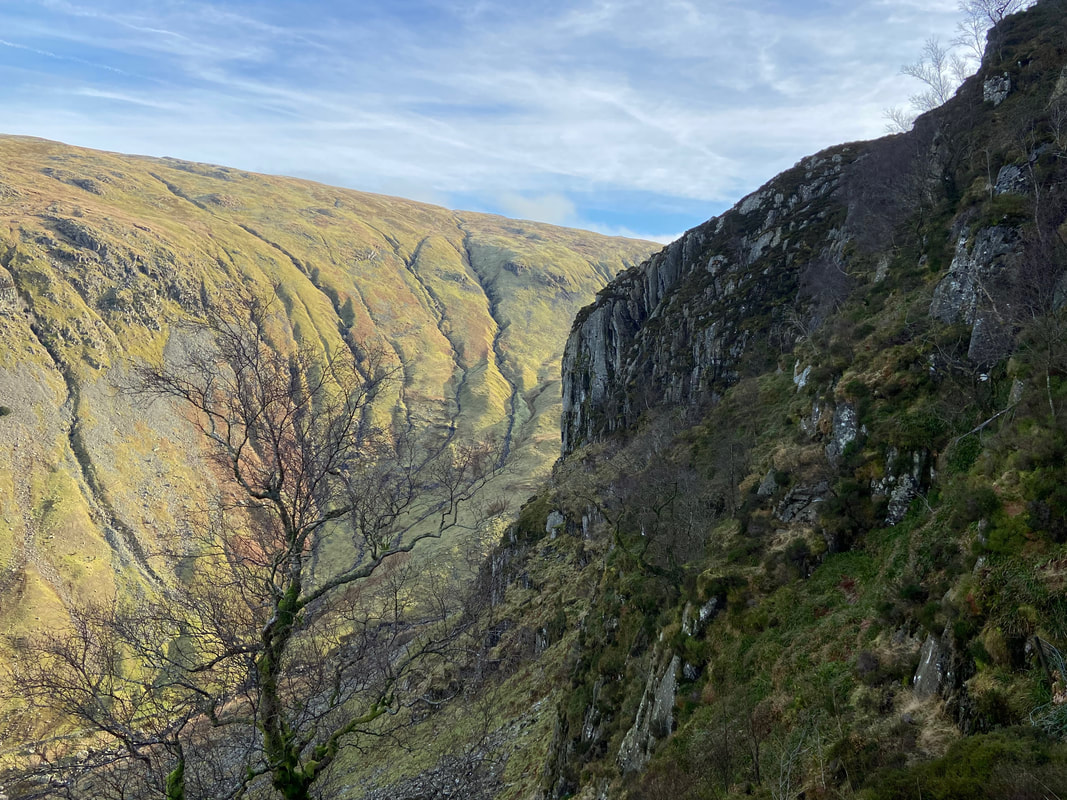
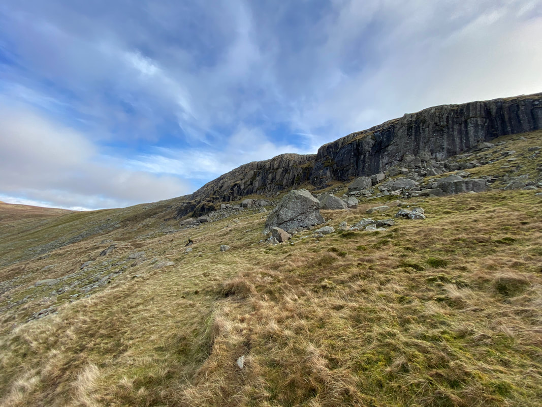
From the top of the gully the route turns immediately right. However it is worth heading on for 50 yards or so to see this impressive view of the vertical face of Eagle Crag.
Leaving the top of the gully the route heads along a series of terraces which switch back on themselves at regular intervals
After the last of the switchbacks a stony path leads up to Eagle Crag's summit plateau
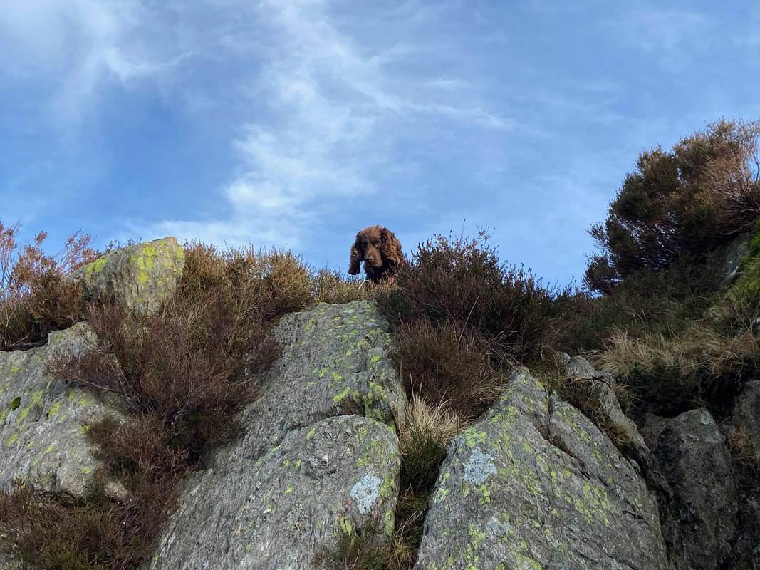
Fudge mocks our progress as he reaches the summit
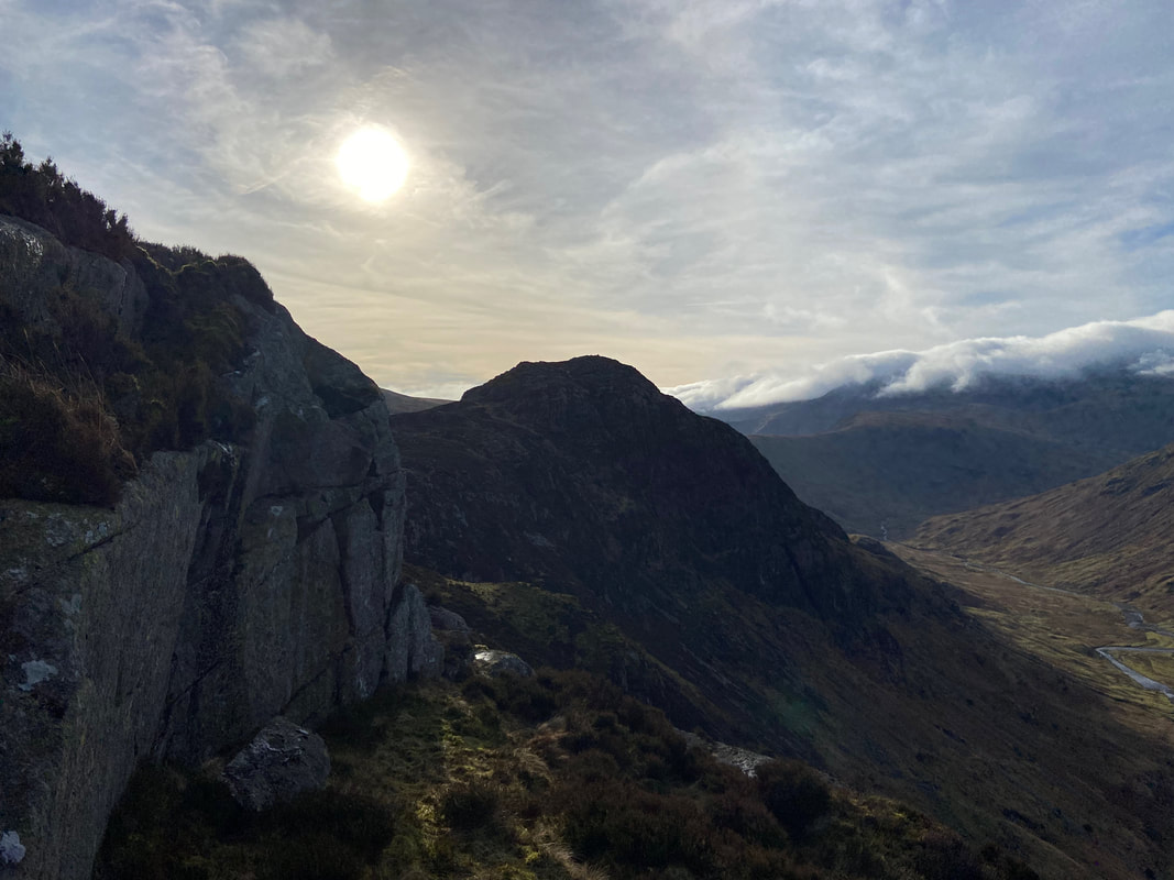
Sergeant's Crag in silhouette
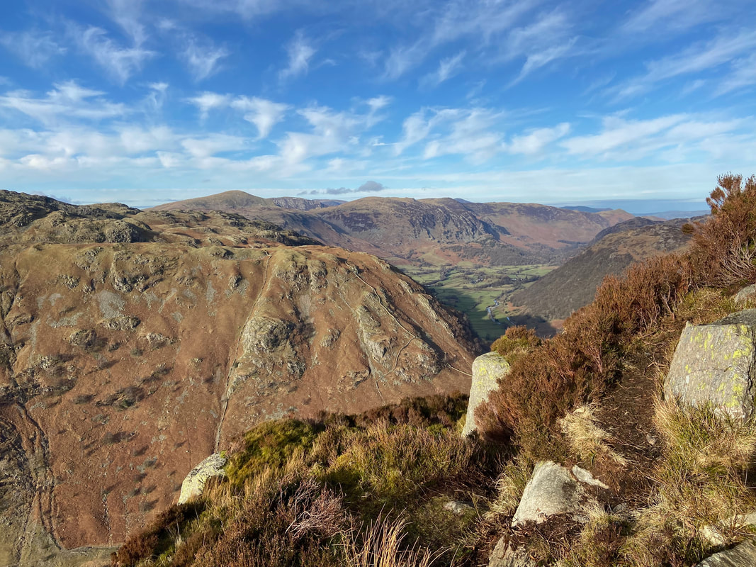
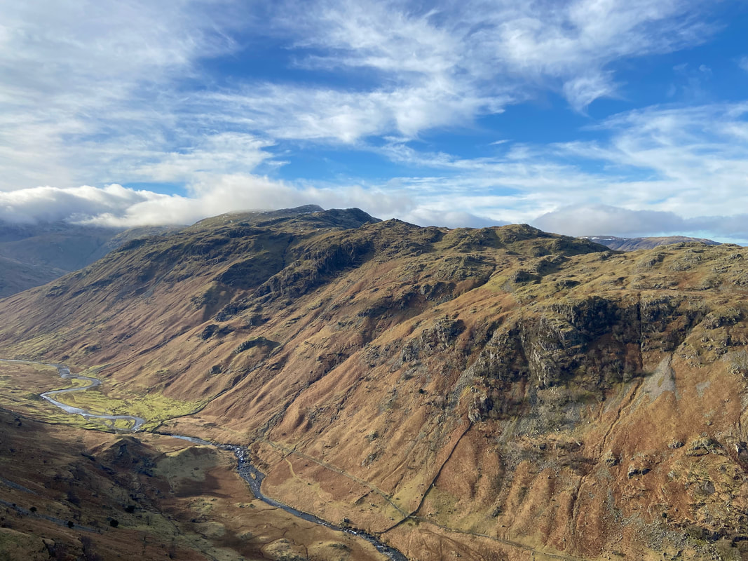
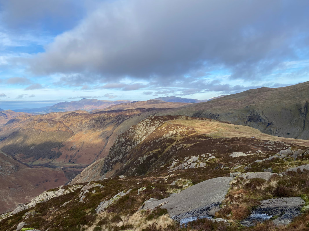
Looking down into Langstrath and across to Glaramara from Eagle Crag
The sloping rock slab that marks the summit of Eagle Crag
From Eagle Crag a good path beside a stone wall heads over the half a mile or so to Sergeant's Crag
Eagle Crag from the path to Sergeant's Crag - in the far distance are Skiddaw to the left & Blencathra to the right
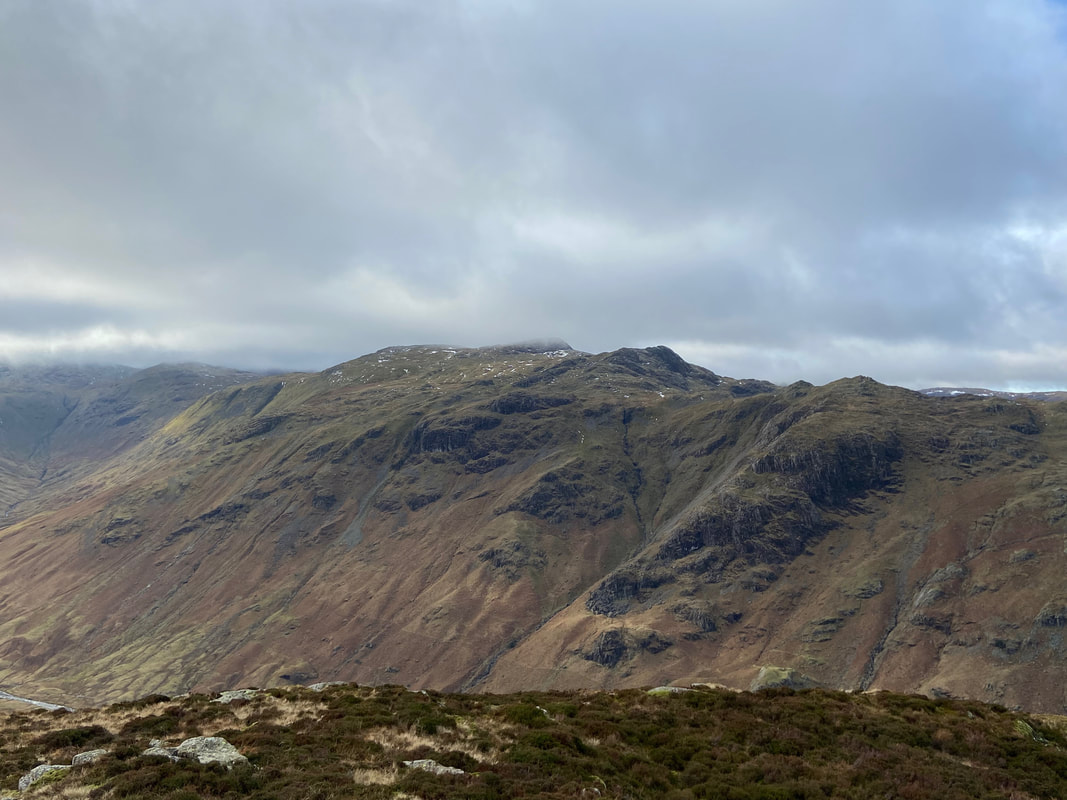
A closer look at a moody looking Glaramara across Langstrath
Looking west from Sergeant's Crag to Fleetwith Pike in the centre with Dale Head to the right
Angie & Fudge on the summit of Sergeant's Crag
Leaving Sergeant's Crag we were now off around the head of Greenup. Low White Stones is ahead on the left with Long Crag below it and High Raise & Pike O'Stickle to the centre and right. The path is fairly clear on the ground and passes below Long Crag to contour around to Greenup Edge.
Lining Crag across a collection of drumlins which are oval-shaped hills, largely composed of glacial drift that are formed beneath a glacier or ice sheet and aligned in the direction of ice flow.
The route crosses a large stile to head over open ground towards Long Crag below Low White Stones
Passing below Long Crag with Greenup Edge in the distance
Sergeant's Crag & Eagle Crag from below Long Crag
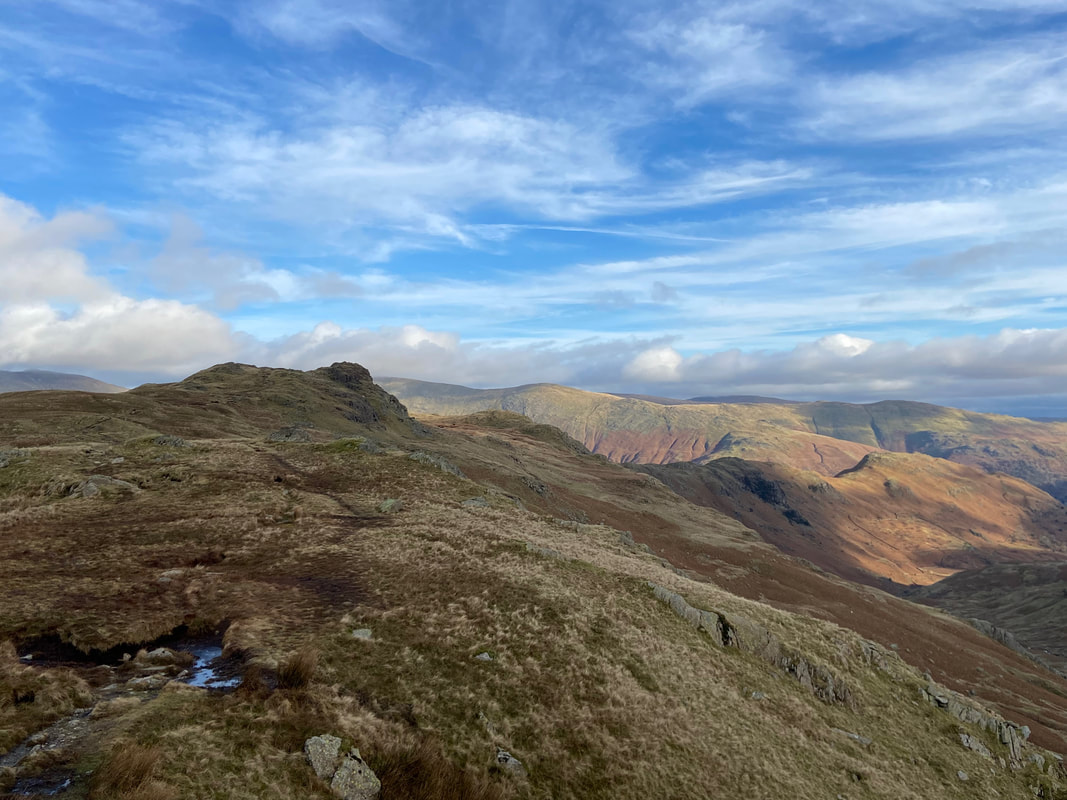
Greenup Edge ahead - the path eventually turns to the left and heads for roughly the centre of shot
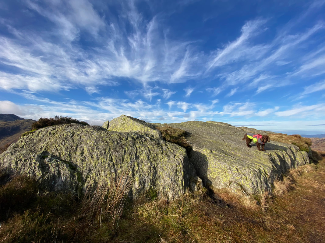
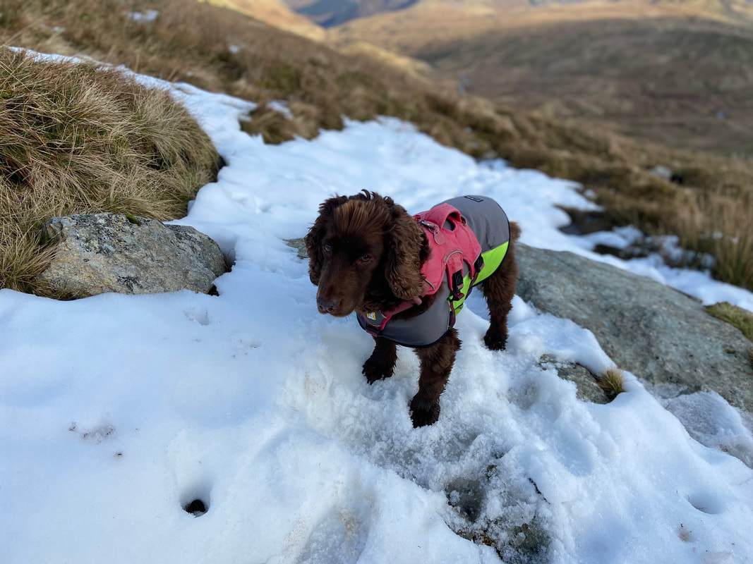
Not much of the white stuff about but Fudge managed to find a small patch
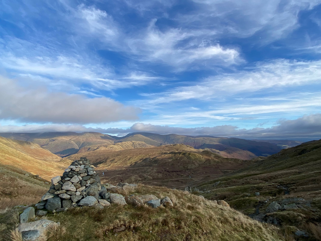
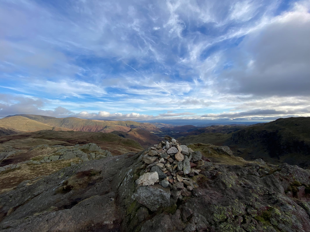
Marker cairn up on Greenup Edge
The huge bulk of Ullscarf from Greenup Edge
Fudge decides this was as good a time as any to have a bit of a howling session (Click Play to view)
Looking across Brownrigg Moss to Calf Crag which is over to the right - we would be heading there next
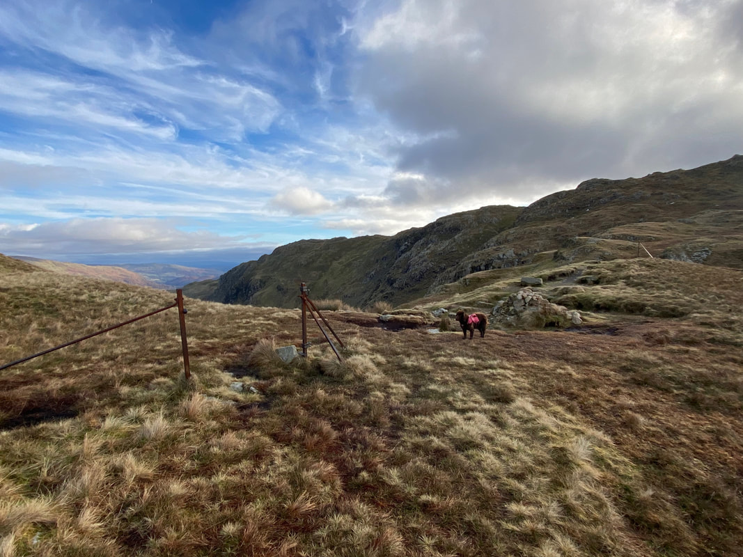
Fudge stands at the top of Far Easedale where a couple of metal fence posts and a cairn mark a junction of paths. We would be taking the path to Calf Crag which is to the left with the Coast to Coast low route via Far Easedale to Grasmere over the top of Fudge's head. Heading to the right leads to Codale Head and on towards Sergeant Man.
Calf Crag ahead now with the lovely ridge walk over Gibson Knott & Helm Crag heading left to right - this is the Coast to Coast High Route into Grasmere.
Looking over Brownrigg Moss to Ullscarf
The summit of Calf Crag
From Calf Crag a path leads over boggy ground towards Steel Fell
The ridge to Steel Fell now ahead with the Greenburn valley to the right
The section between Calf Crag & Steel Fell above Greenburn gets a bit of a bad press reference its boggy attributes. I've always found it a pleasant transit and the squelchy stuff can be negotiated fairly easily.
The route eventually handrails a fence line coming in from the left which heads to the summit of Steel Fell
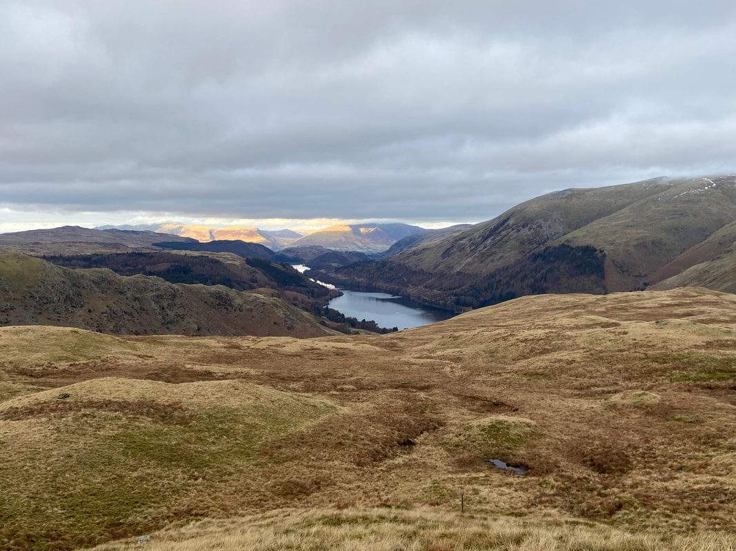
Thirlmere from Steel Fell
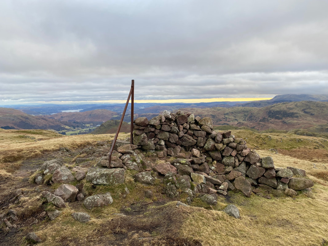
The large cairn on Dead Pike, the summit of Steel Fell
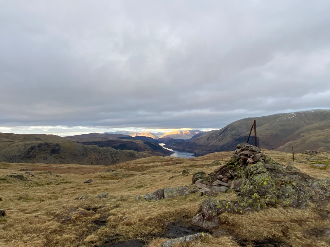
The East Cairn on Steel Fell looking down to Thirlmere
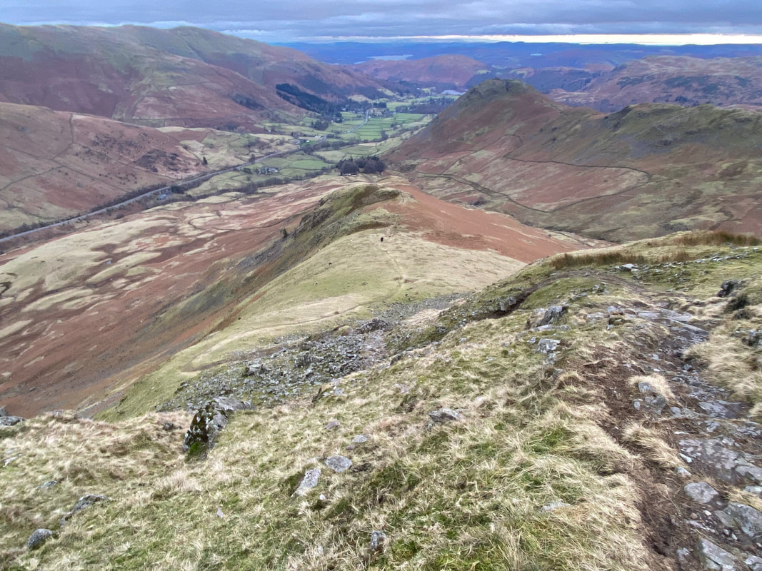
From the summit it was time to descend back to Grasmere via Cotra Breast
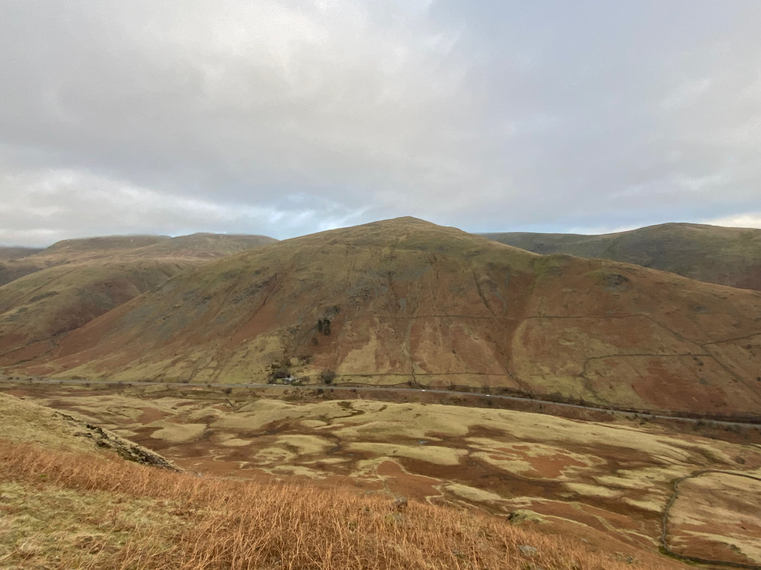
Seat Sandal across the A591 from Cotra Breast
Helm Crag across Greenburn
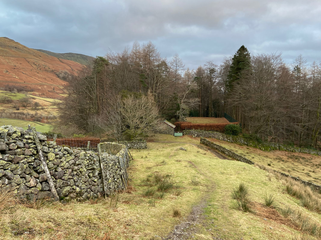
At the bottom of Cotra Breast the farm buildings at Ghyll Foot are reached
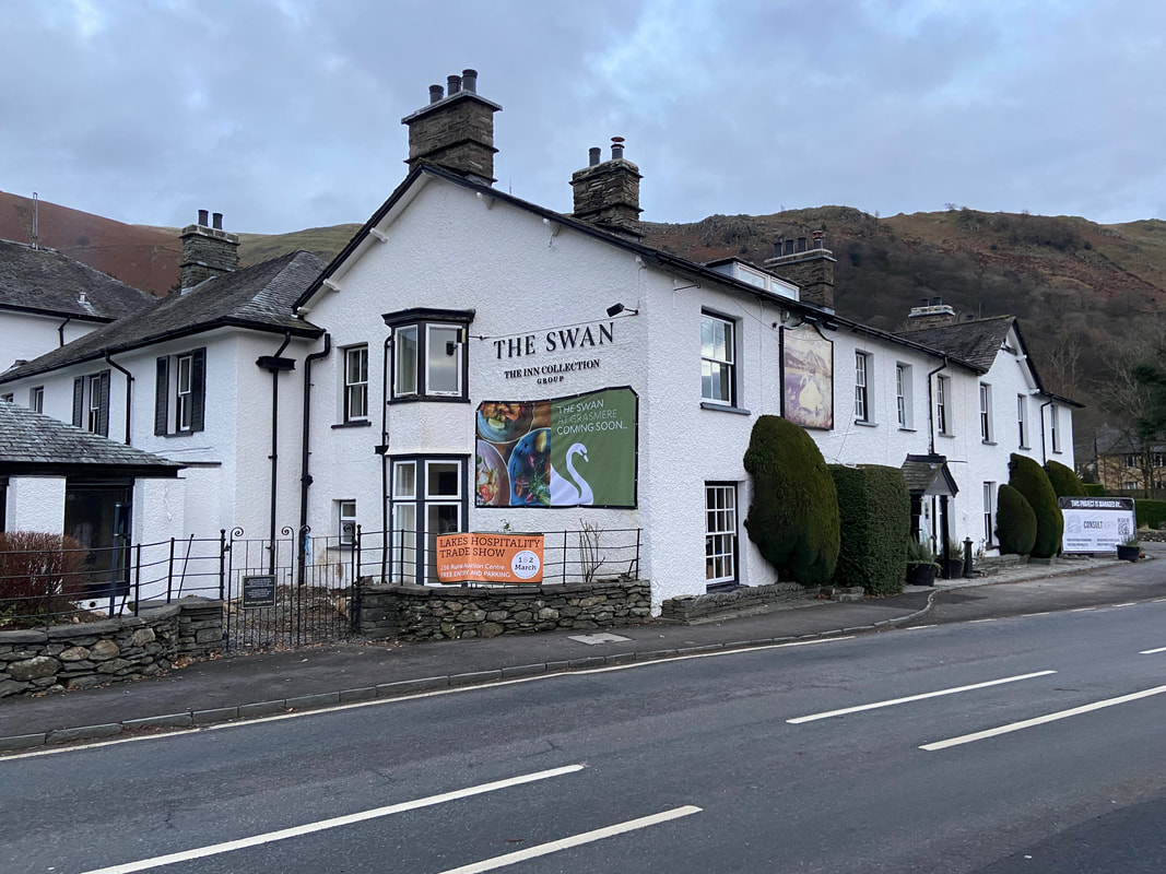
Once through Ghyll Foot a lane is joined that reaches Mill Bridge from where it is a short walk along the A591 to this fine watering hole
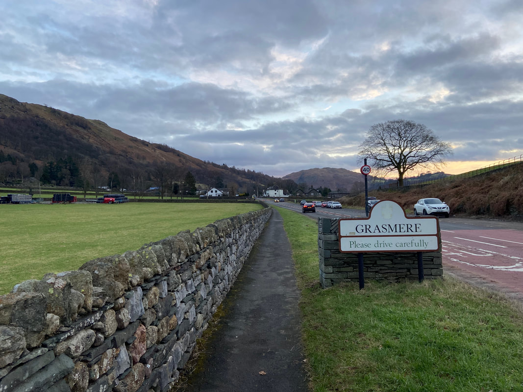
Entering Grasmere on our way to the Bus Stop to catch our transport back to Keswick
Instead of walking all the way back into Grasmere the bus to Keswick can be caught from the Bus Stop opposite The Swan on the A591
