Cogra Moss & Knock Murton - Sunday 31 May 2020
Route
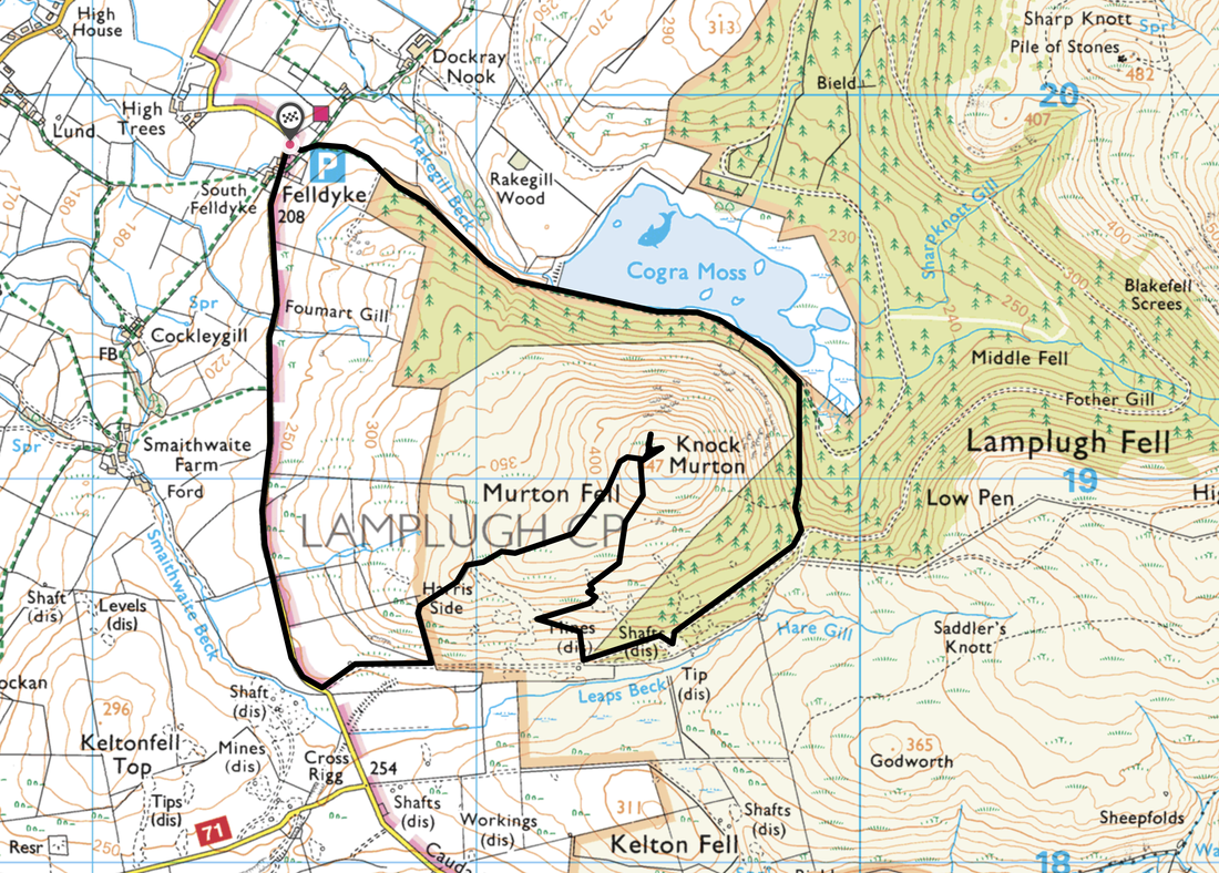
Felldyke - Cogra Moss - Knock Murton - Harris Side - Felldyke
Parking
Felldyke (Free) - Grid Reference NY 0849 1981. The nearest postcode is CA14 4SH. There is room for about 9 sensibly parked cars therefore on weekends it is best to get there early. There is additional verge parking further up the Lamplugh/Ennerdale road at Cross Rigg (Grid Ref NY 0871 1820).
Mileage
4.2 miles
Terrain
Farm tracks and good mountain paths with a short section of road walking at the end.
Weather
Warm & sunny throughout.
Time Taken
2hrs 40mins
Total Ascent
1030ft (314m)
Map
OL4 The English Lakes (North Western Area)
Walkers
Dave, Angie & Fudge
|
GPX File
|
| ||
If the above GPX file fails to download or presents itself as an XML file once downloaded then please feel free to contact me and I will send you the GPX file via e-mail.
Route Map
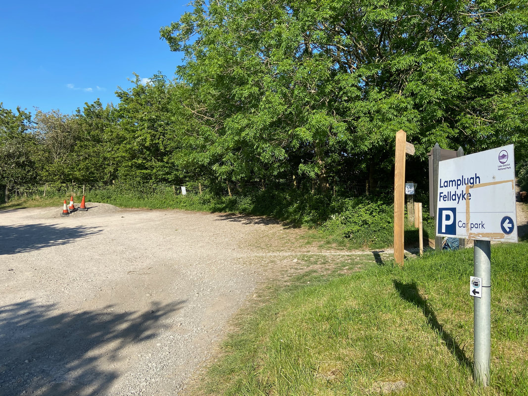
The start of the walk is from the car park at Felldyke on the Lamplugh to Ennerdale Bridge road. We did not start our walk until 1830 therefore everybody had already gone home. The route out of the car park to Cogra Moss can be seen to the right...........
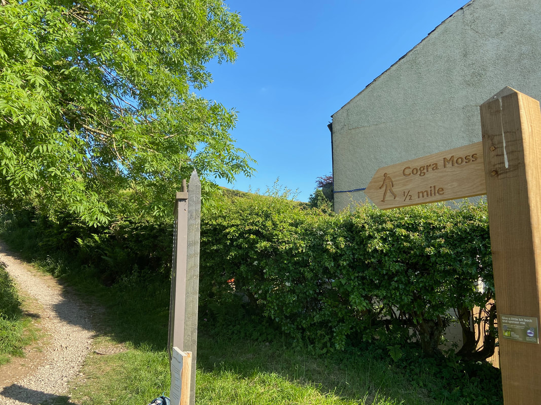
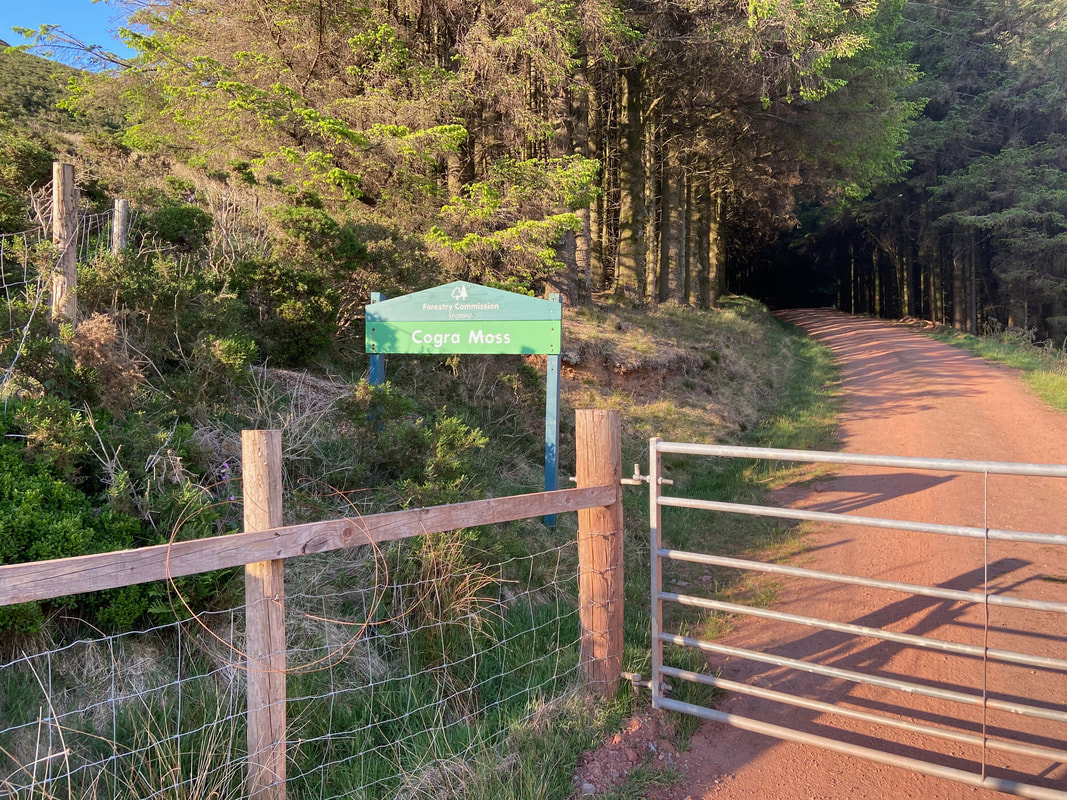
.......... and here is the signpost to prove it
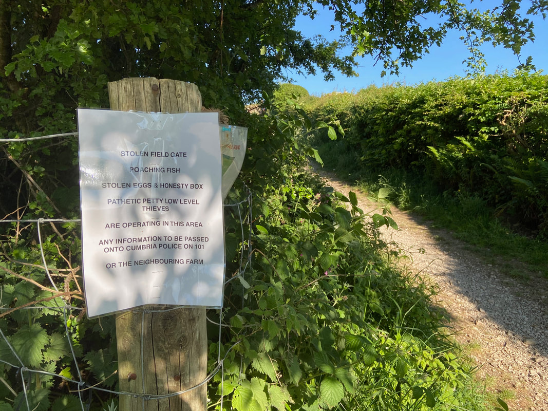
Very succinctly put - sadly this sort of feral behaviour is not uncommon these days.
After a hundred yards or so the path splits with the left hand fork heading towards Dockray Nook and the right hand one leading to Cogra Moss.
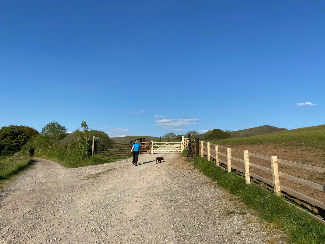
Heading for Cogra Moss along the access track. Despite living only a few miles from Cogra Moss this was our first visit and one we were looking forward to.
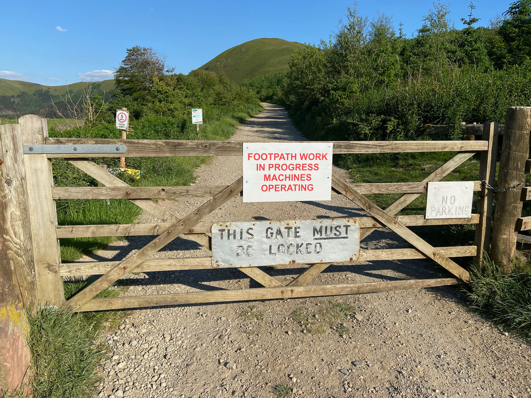
Continuing on, the route arrives at a gate which was not locked as such.
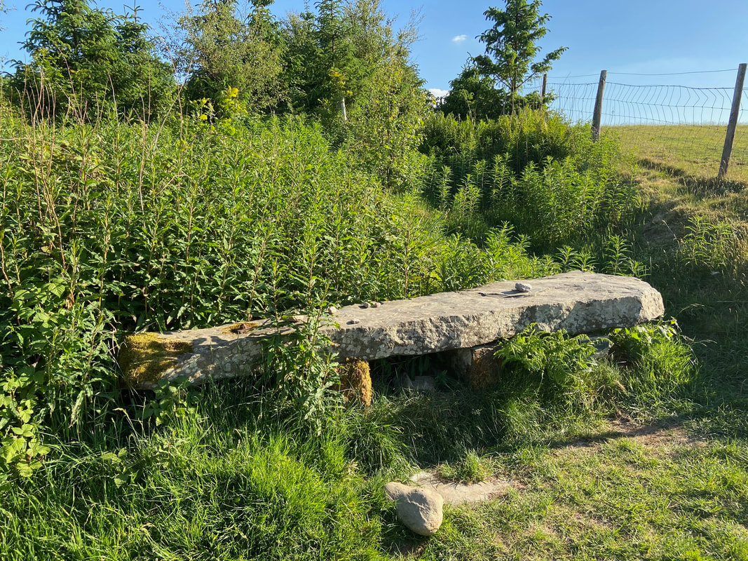
Once through the gate on the right hand side is a low stone seat
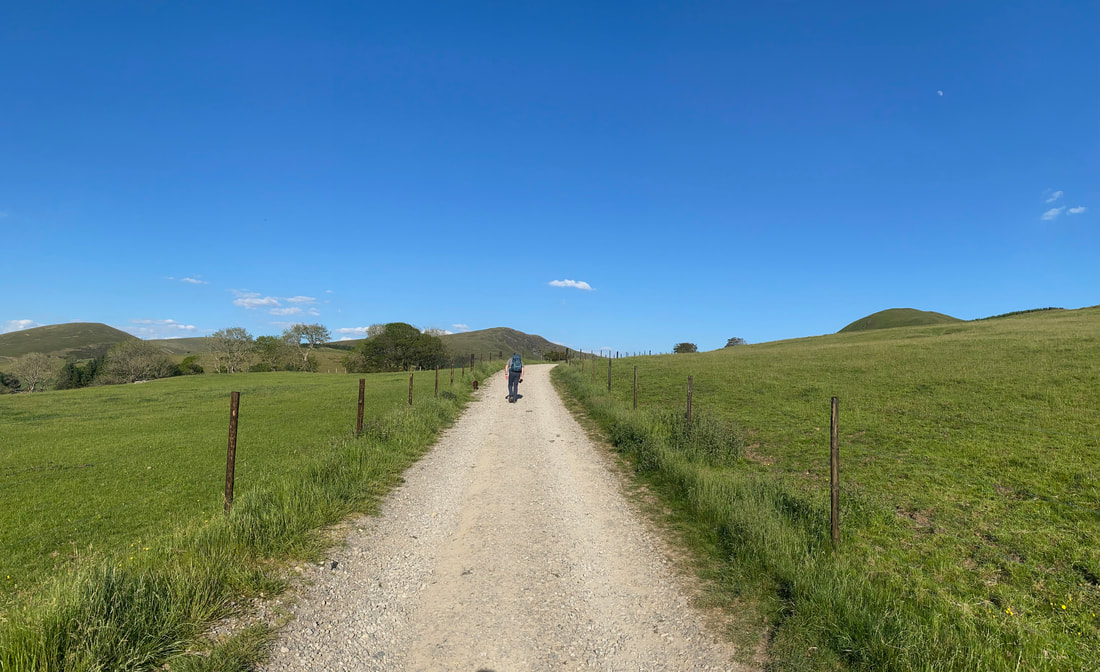
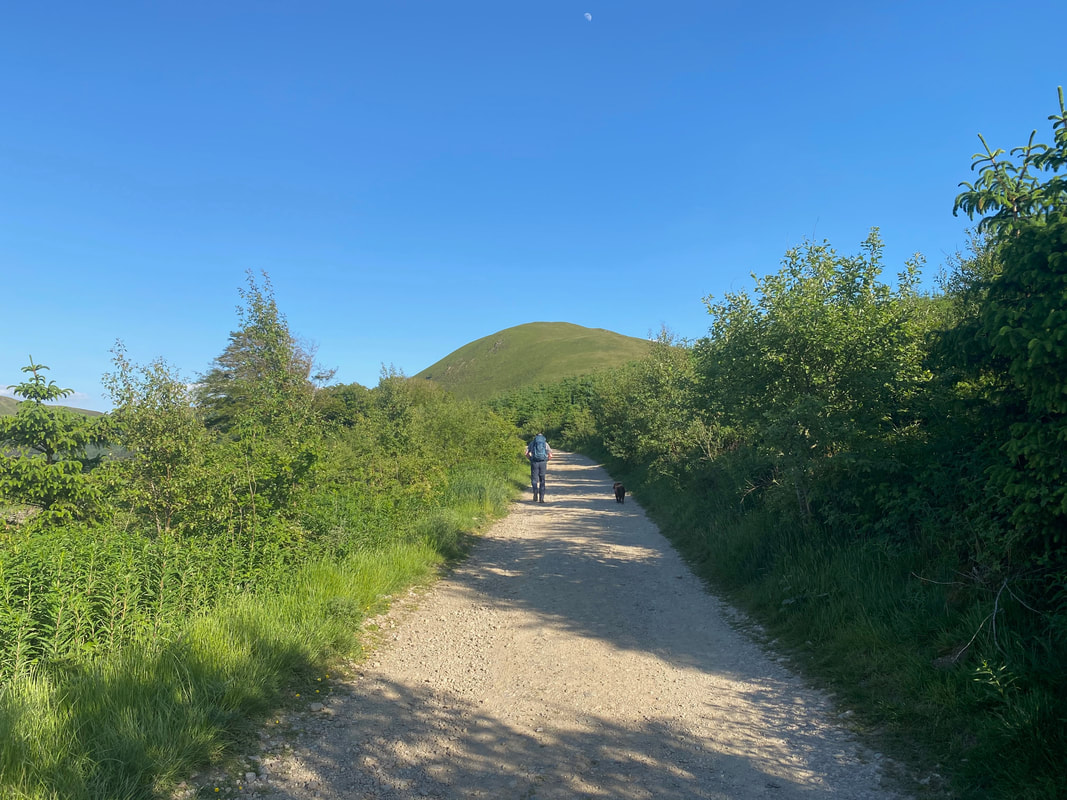
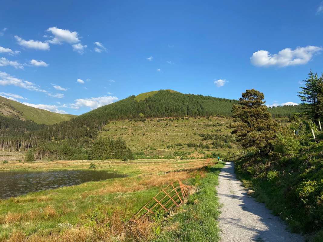
The track continues on through a hedged pathway with the domed shape of Knock Murton ahead.
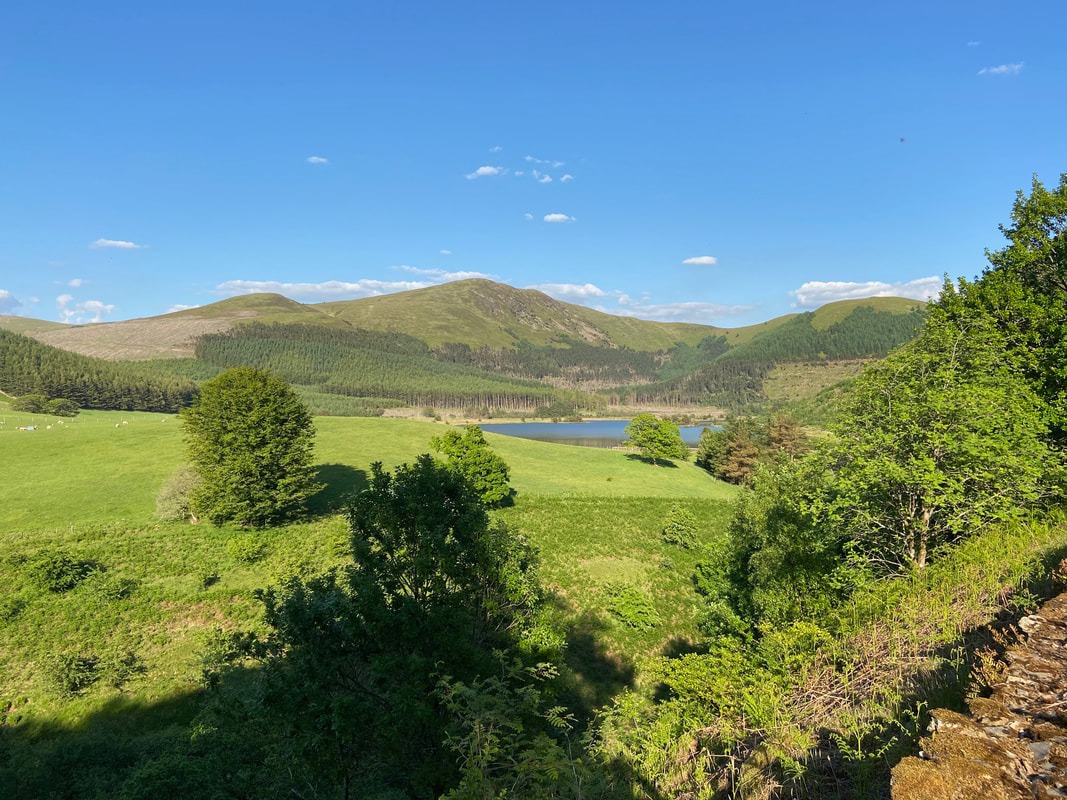
Exiting the hedge line, Cogra Moss comes into view with Sharp Knott & Blake Fell providing the backdrop
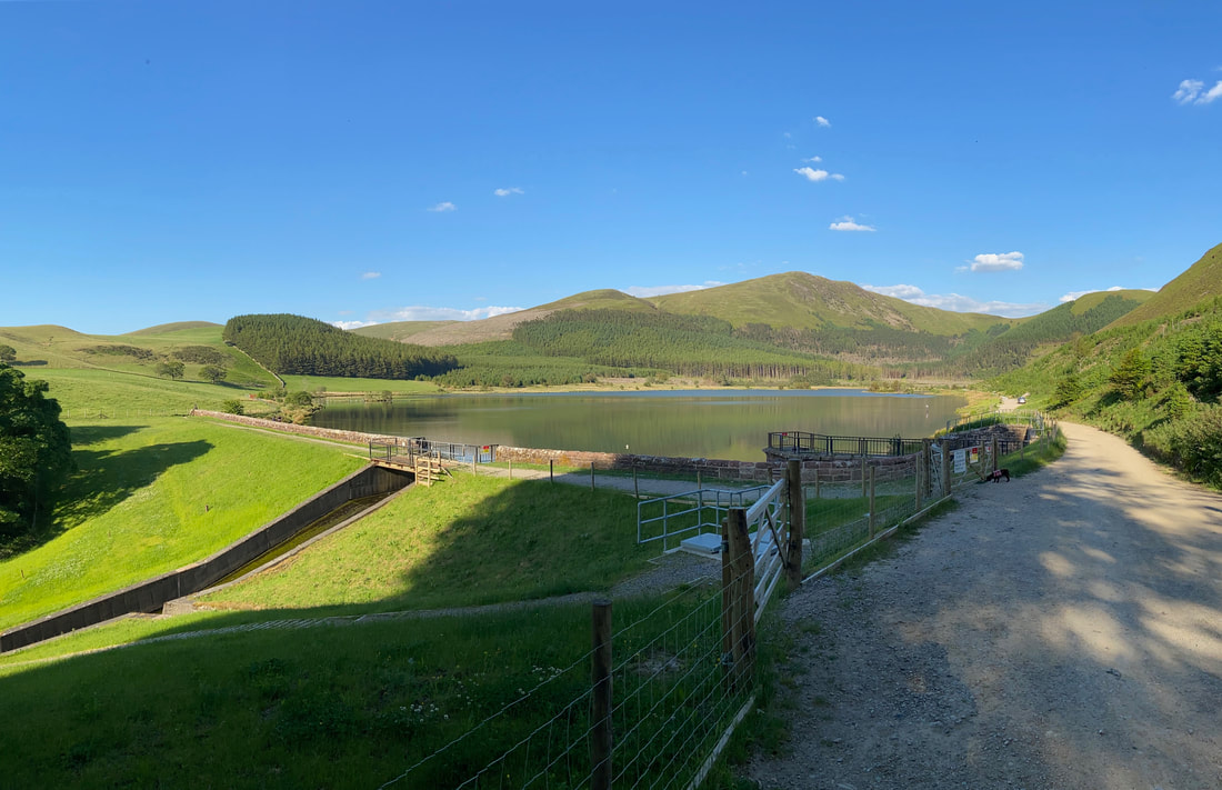
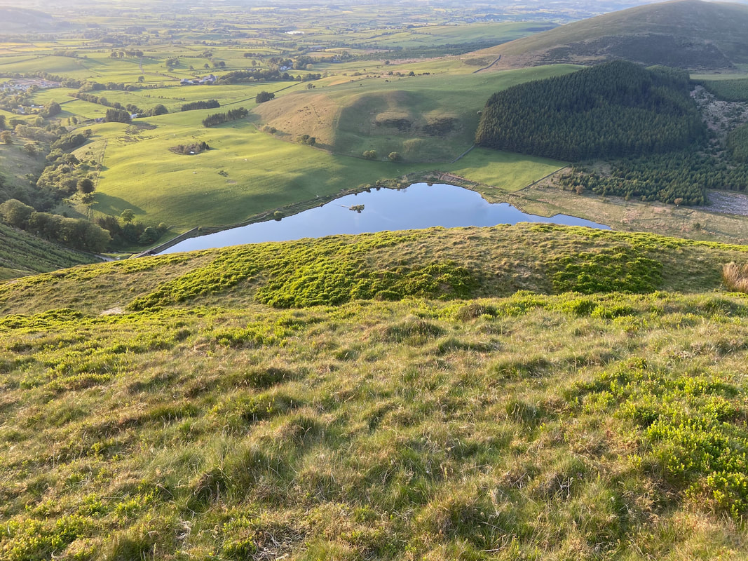
Cogra Moss is an artificial water retained by a substantial dam across Rakegill Beck. It was created as a reservoir in about 1880 and discontinued as a public water supply in 1975. The route continues to the right along the bridleway.
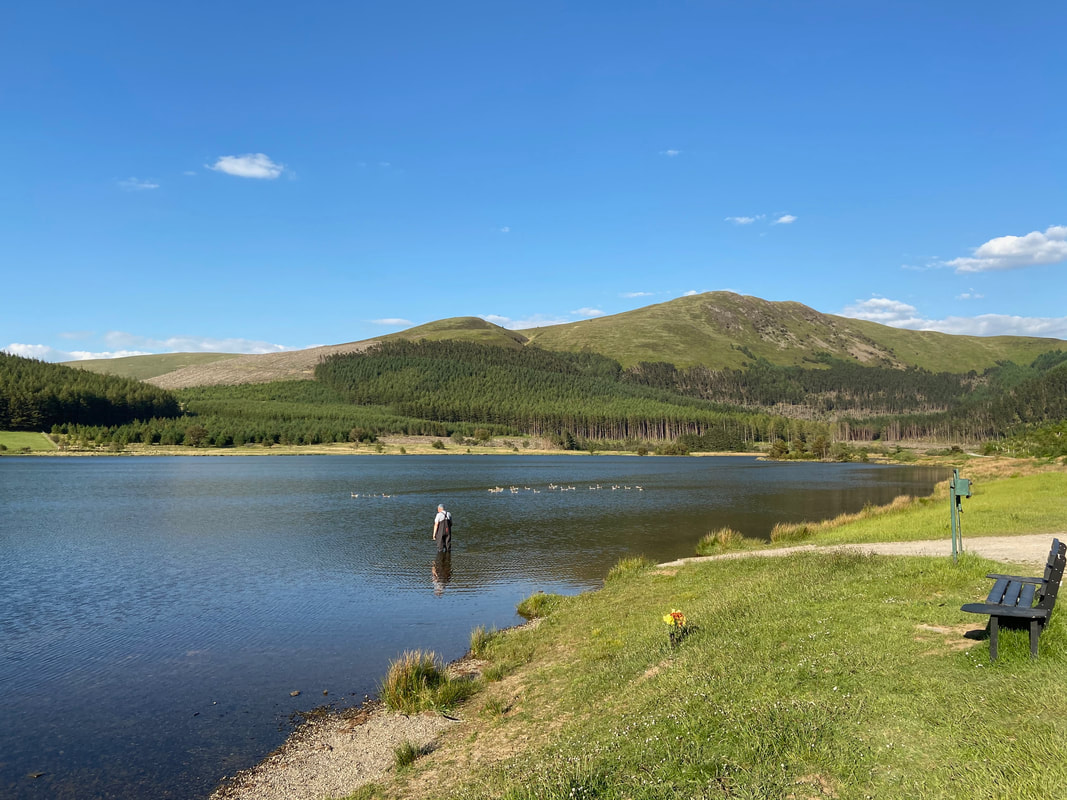
A fly fisherman tries his luck to catch his tea. The tarn is stocked with brown & rainbow trout and fishing is controlled by the Cockermouth Angling Association.
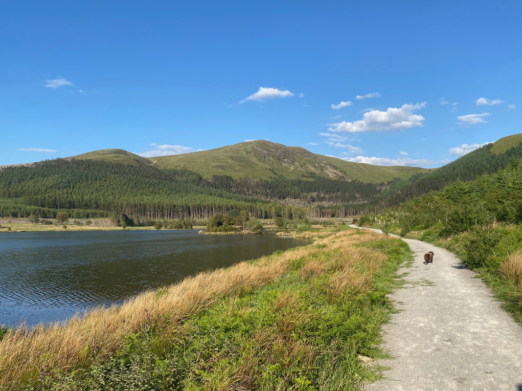
Fudge switches down a gear to trundle mode as we head along the lakeshore path. It is possible to walk completely around the lake should you so wish.
Passing the end of the lakeshore with Low Pen ahead.
Shortly after leaving the lakeshore a path heads off to the right. This path is known as "Donkey Trod" and leads to a forestry road in a col between Low Pen & Knock Murton.
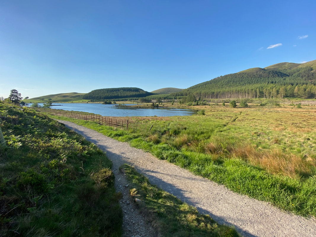
Looking back to Cogra Moss, High Hows & Owsen Fell from the start of the Donkey Trod path
Fudge appears to be "'hanging out" after much arsing about in the lake
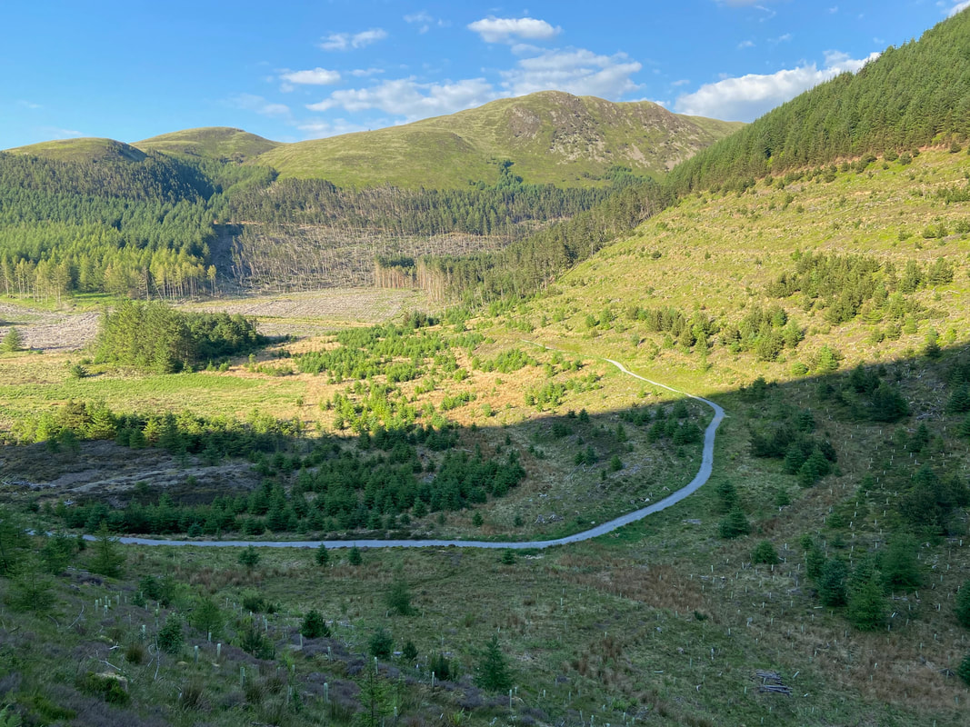
Looking down to the forestry road from the Donkey Trod path
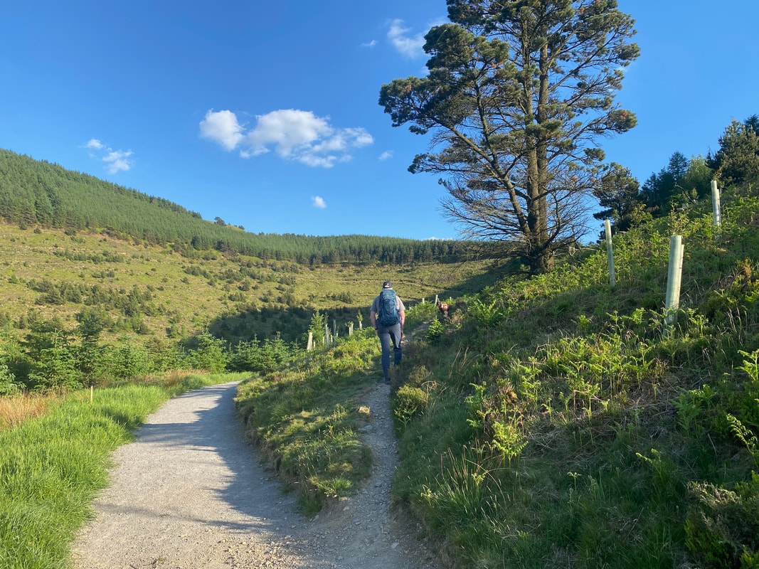
Approaching the col at the top of the Donkey Trod path
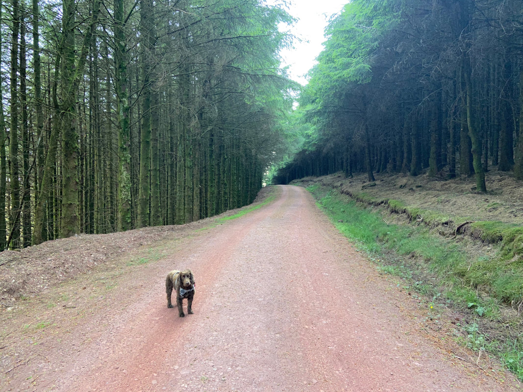
The forest road at the top of the Donkey Trod
Exiting the Cogra Moss plantation - our path up to Knock Murton is to the left behind me
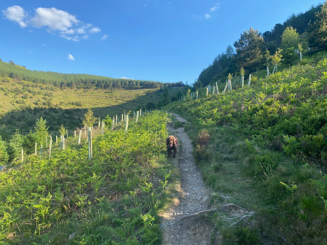
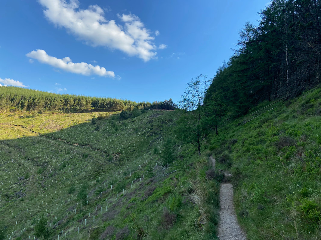
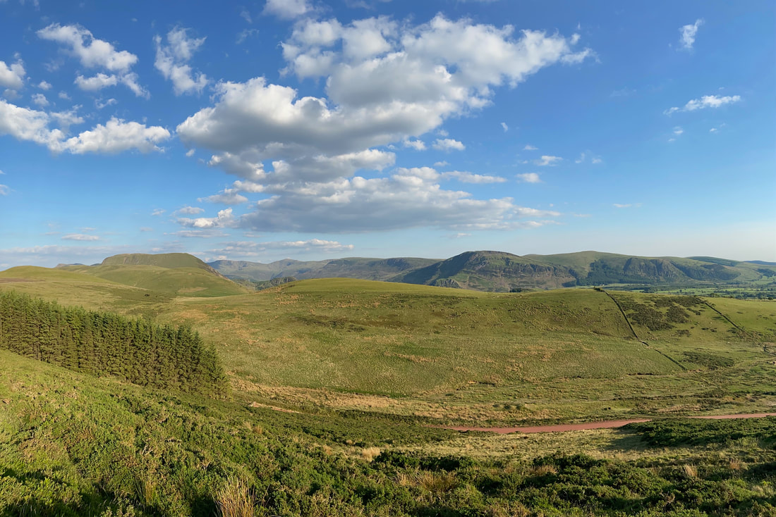
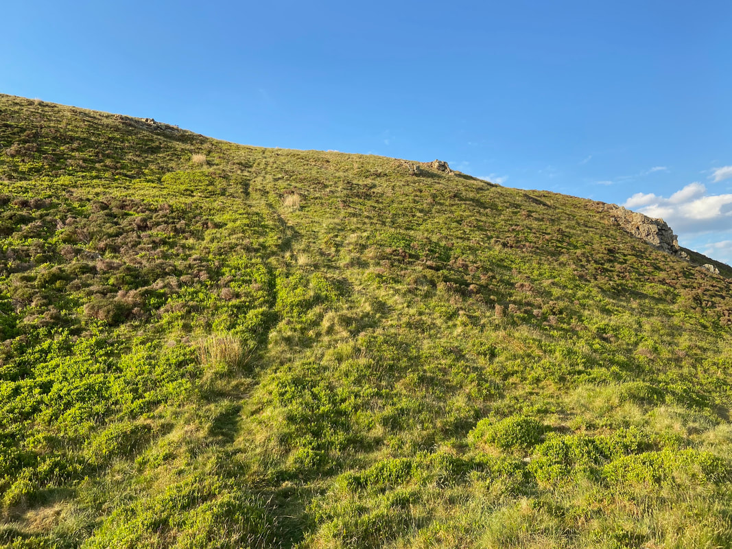
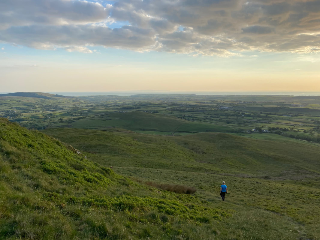
The ascent of Knock Murton - the forestry road is below and the path up is indistinct in part and zig zags its way up the fell side. In the distance a glorious panorama opens out to reveal Red Pike, Great Borne, Scoat Fell, Haycock, Iron Crag, Crag Fell & Grike.
The steepness relents slightly as the summit nears
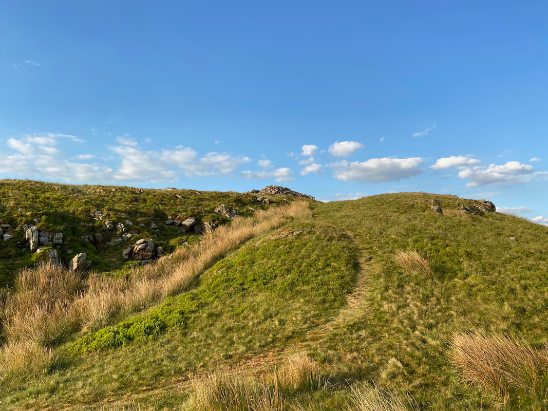
All of a sudden the summit shelter comes into view
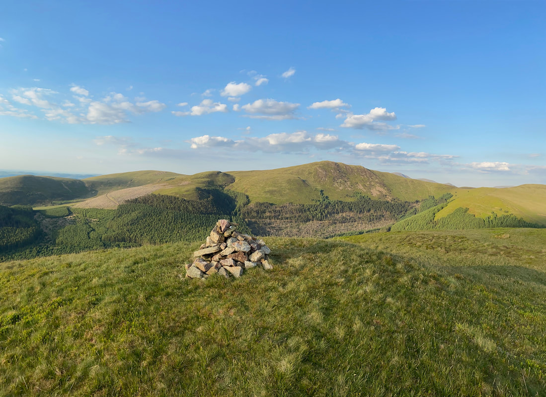
The summit of Knock Murton looking to Owsen Fell, Burnbank Fell, Sharp Knott & Blake Fell with Low & High Pen to the right.
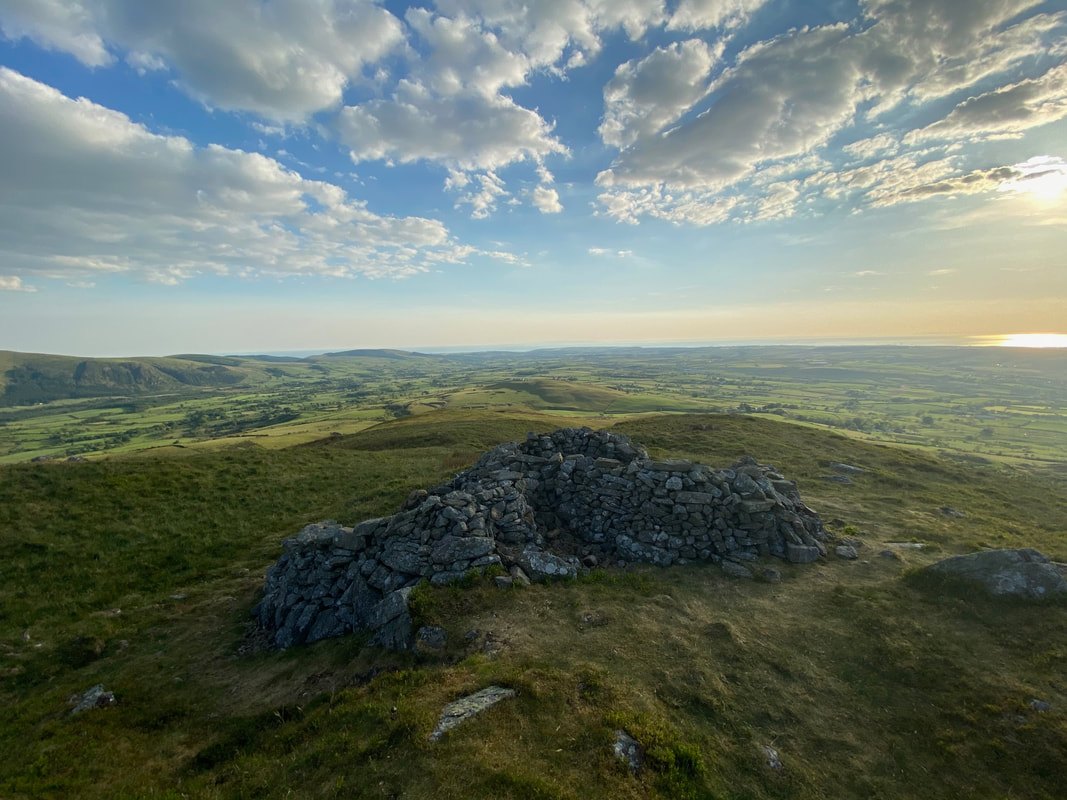
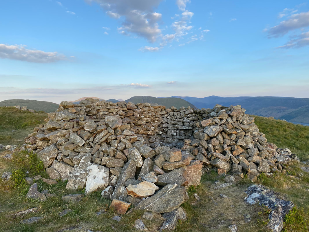
The triangular summit shelter on the summit of Knock Murton - it was now about 1915 therefore we had our tea up here.
A short walk to the north revealed Cogra Moss below
Our "dining booth" on the summit of Knock Murton
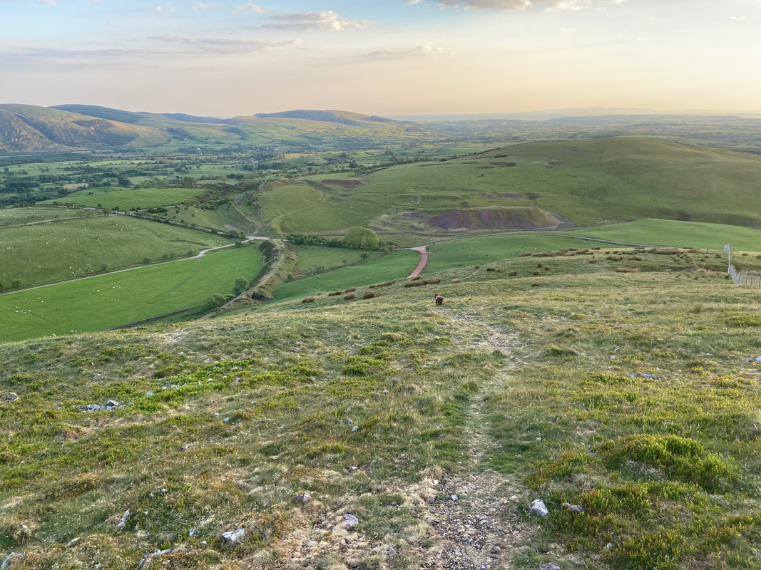
The steep descent down to Harris Side which leads back to the forestry road
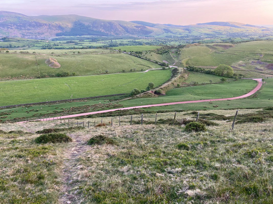
The forestry road and Cross Rigg below - the path swings sharply to the left from here to join a fence line
The descent down Harris Side is extremely steep therefore care needs to be taken if the ground is wet
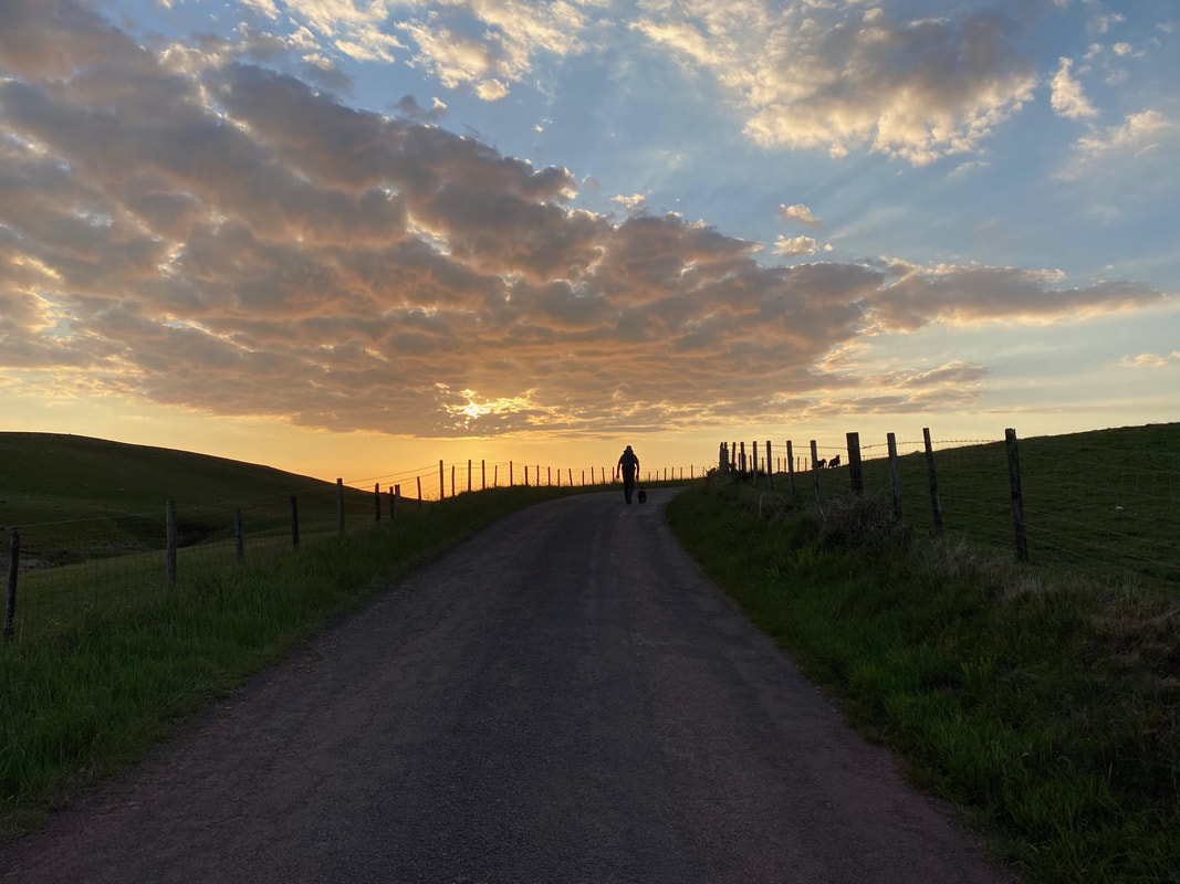
Dusk approaches as we head along the road towards Felldyke
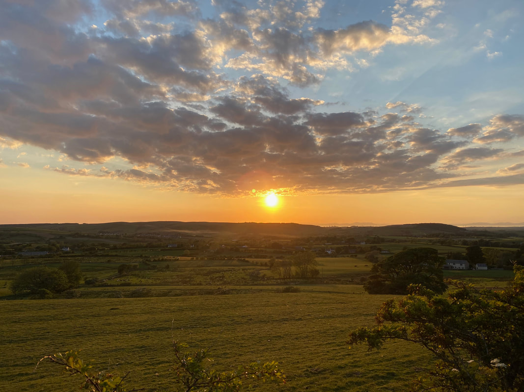
A glorious sunset finished off a lovely evening stroll
