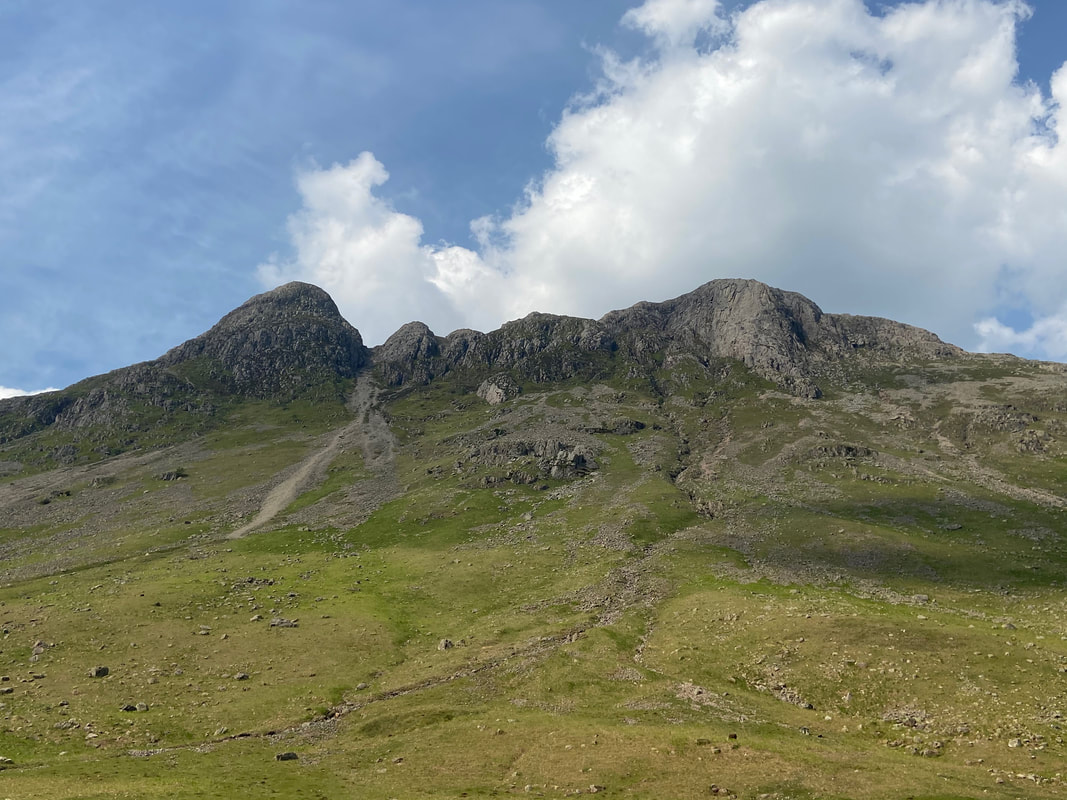
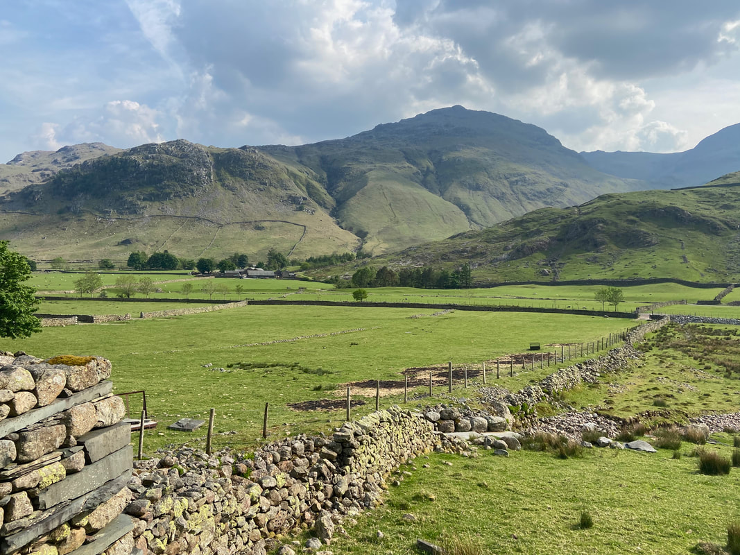
Pike O'Blisco, Cold Pike, Crinkle Crags, Bowfell, Esk Pike & Rossett Pike - Tuesday 1 June 2021
Route
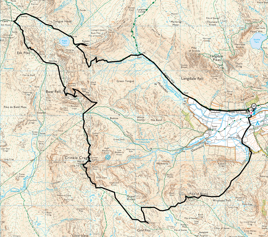
Old Dungeon Ghyll (ODG) - Wrynose Fell - Pike O'Blisco - Red Tarn - Cold Pike - Crinkle Crags - Three Tarns - Climber's Traverse - Great Slab of Flat Crags - Bowfell - Ore Gap - Esk Pike - Esk Hause - Angle Tarn - Rossett Pike - Rossett Gill - Mickleden - ODG
Parking
I would normally park in the Old Dungeon Ghyll Hotel Car Park (£3 all day payable in the hotel) but this was closed to non hotel guests due to Covid 19 therefore I parked in the National Trust Car Park next door. The Car Park is located at Grid Reference NY 286061 and the nearest postcode is LA22 9JY.
Mileage
13.4 miles
Terrain
Good mountain paths for the most part. In mist, care should be taken on the transit over Crinkle Crags as the path does not follow a natural direct line. The section between Three Tarns & joining the Climber's Traverse path was over rough ground & pathless - a distance of roughly a quarter of a mile. The Climber's Traverse beneath Bowfell has some very mild exposure.
Weather
Warm & sunny with light breezes - perfect conditions.
Time Taken
9hrs 40m
Total Ascent
4691ft (1430m)
Wainwrights
6
Map
OL6 - The English Lakes (South Western Area)
Walkers
Dave & Andy McGuirk
|
GPX File
|
| ||
If the above GPX file fails to download or presents itself as an XML file once downloaded then please feel free to contact me and I will send you the GPX file via e-mail.
Route Map
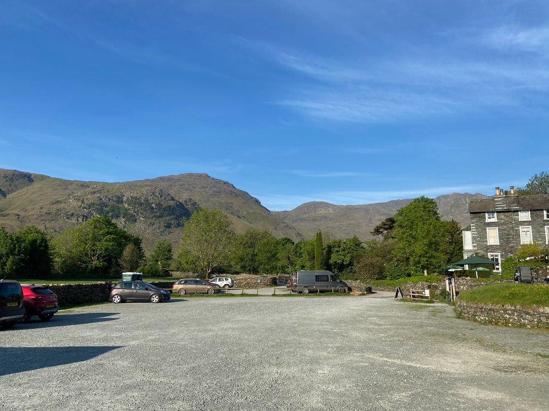
The National Trust Car Park at Old Dungeon Ghyll. Bearing in mind this was a sunny day in June, Andy and I were away nice and early before Langdale became rammed with cars and walkers.
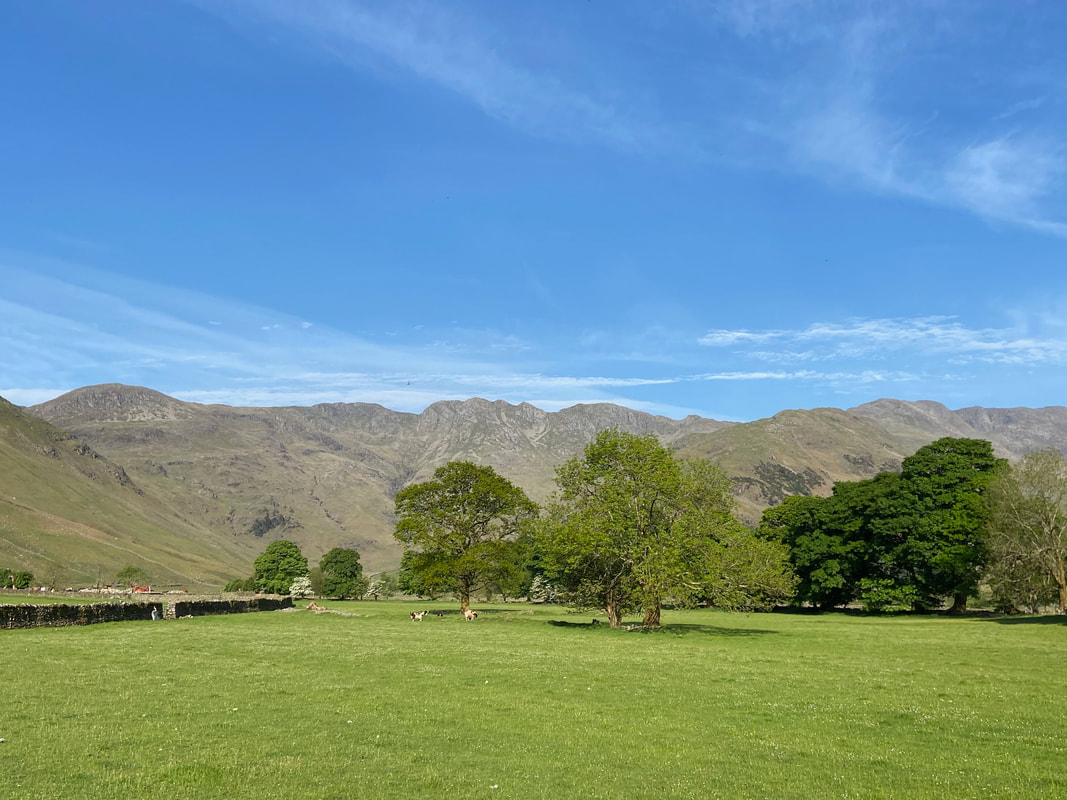
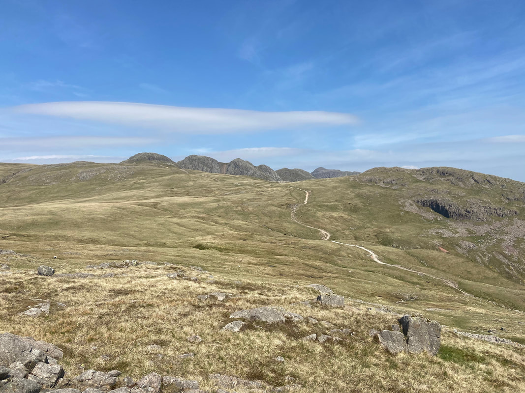
The first part of today's route was already visible as we headed out of Langdale - Pike O'Blisco, Crinkle Crags & Bowfell
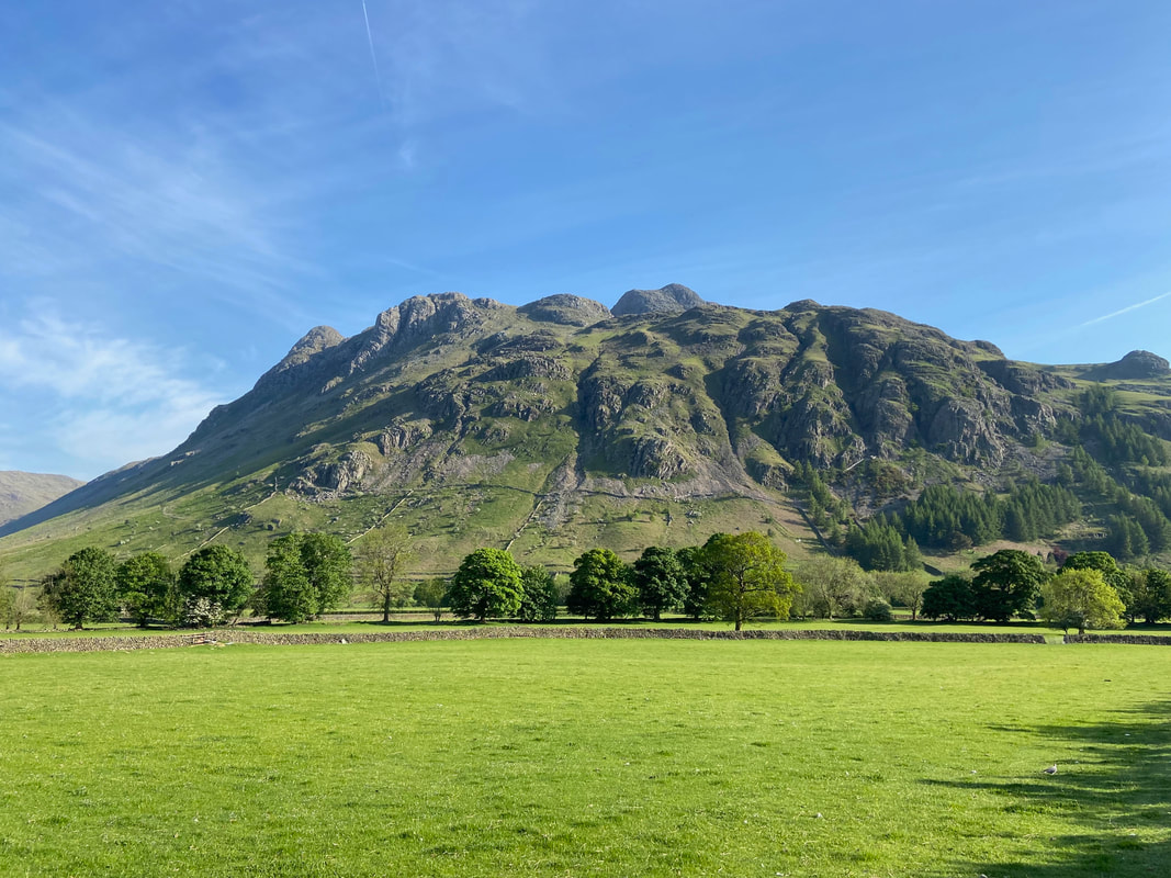
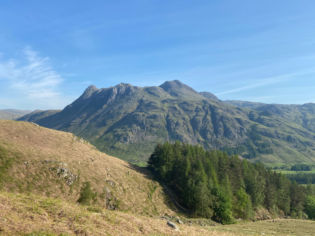
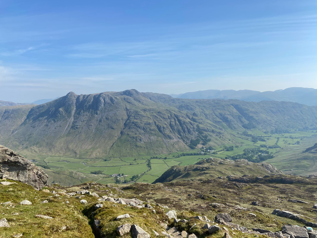
The Langdale Pikes
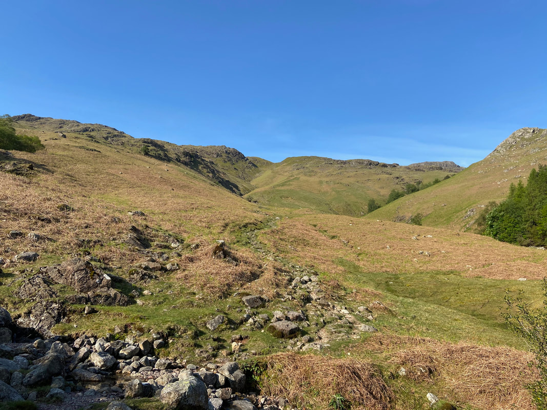
After a short but very steep walk up the tarmac on the road to Blea Tarn we turned off right on to the path to Pike O'Blisco
Another view of the Langdale Pikes from the ascent of Pike O'Blisco
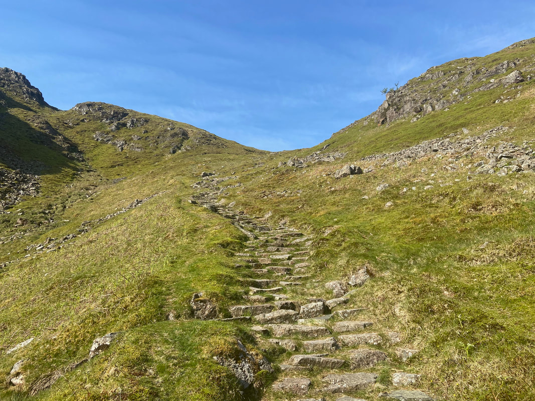
Continuing up the path to Pike O'Blisco hand railing Redacre Gill. The path is very good but extremely steep in parts.
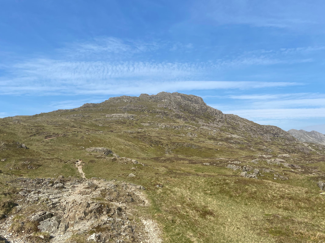
As the steepness relents, the summit of Pike O'Blisco comes into view
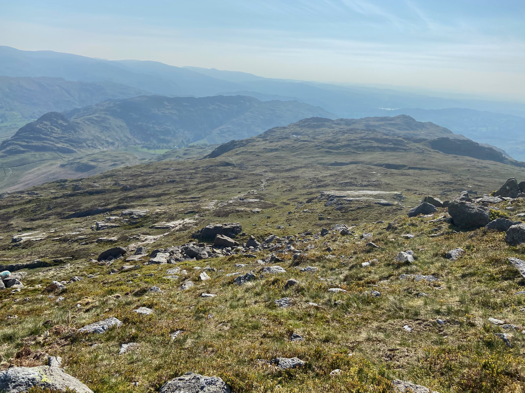
Looking back down the route of ascent with Side Pike & Lingmoor Fell to the left
Mickleden & the Langdale Pikes from the top of Redacre Gill
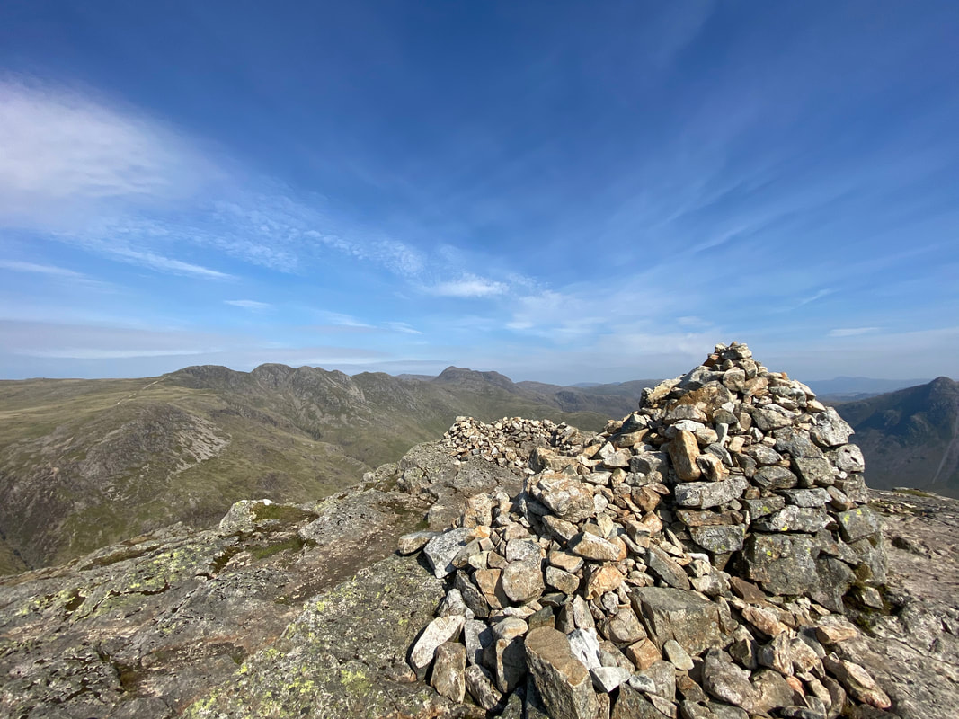
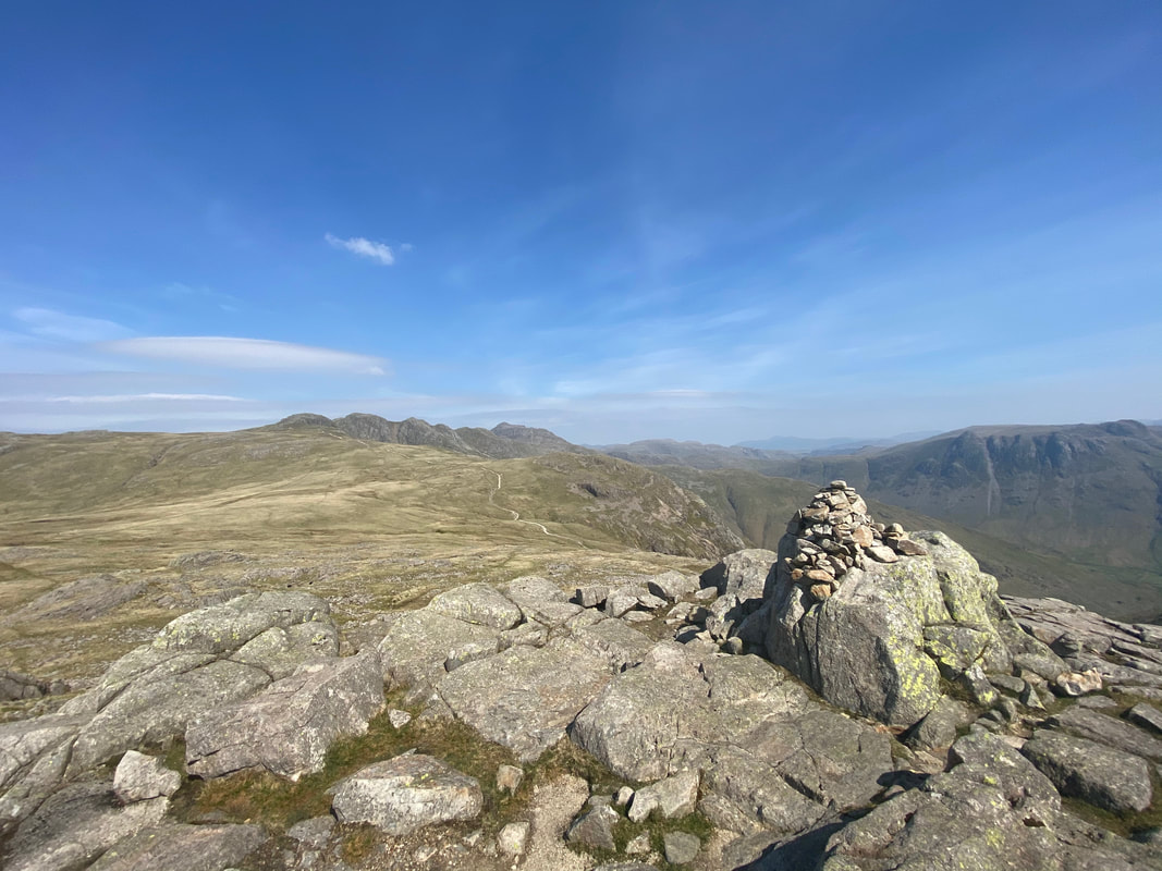
The summit of Pike O'Blisco looking to Great Knott, Crinkle Crags & Bowfell. There are two cairned summits on Pike O'Blisco and the recognised top is the one to the right as the approach is made from the top of Redacre Gill. To reach either top requires some mild scrambling.
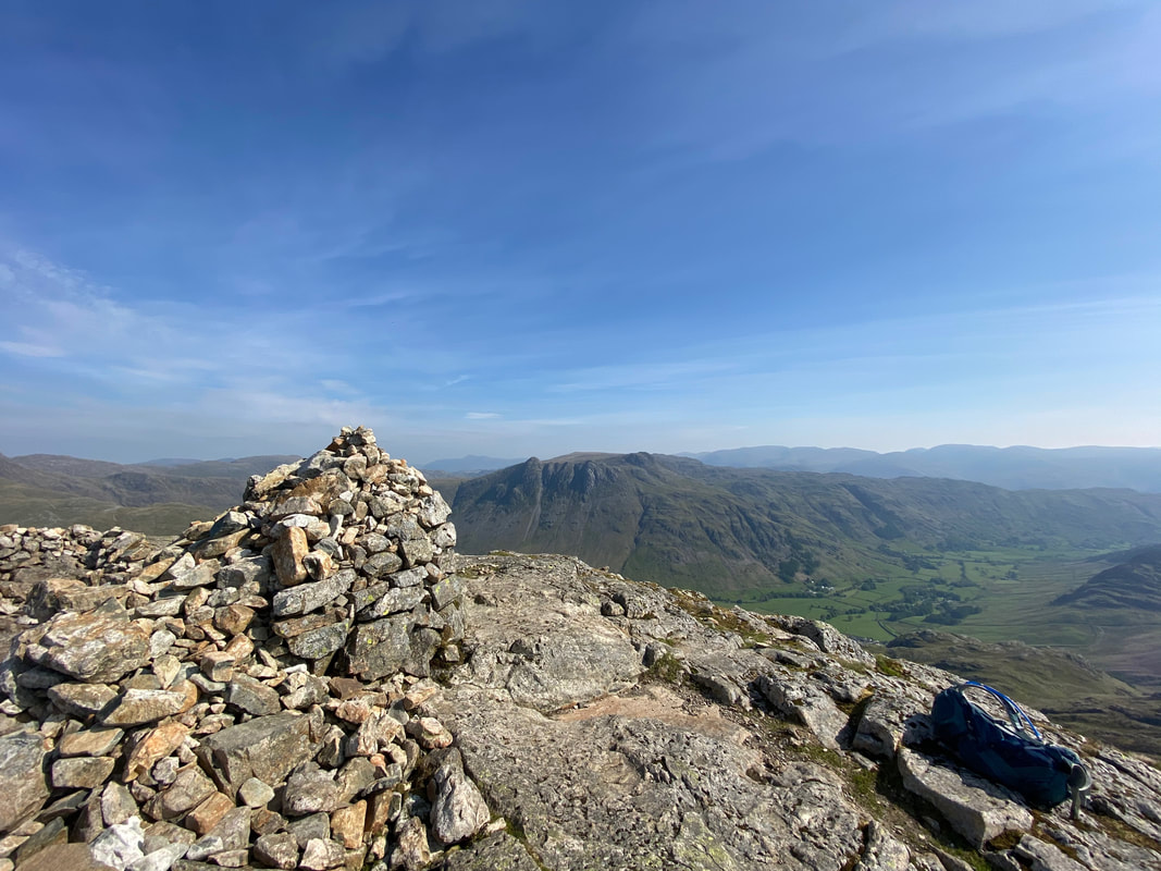
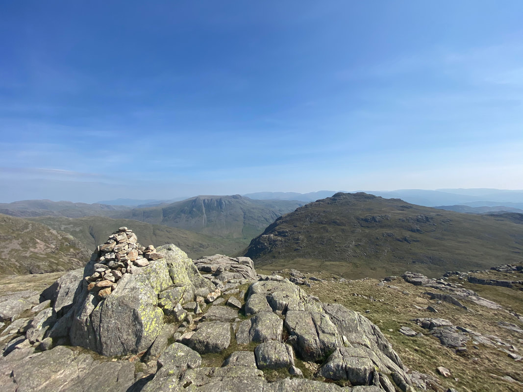
The summit of Pike O'Blisco looking to the Langdale Pikes
Descending to Red Tarn from Pike O'Blisco with another superb view to the Crinkles & Bowfell
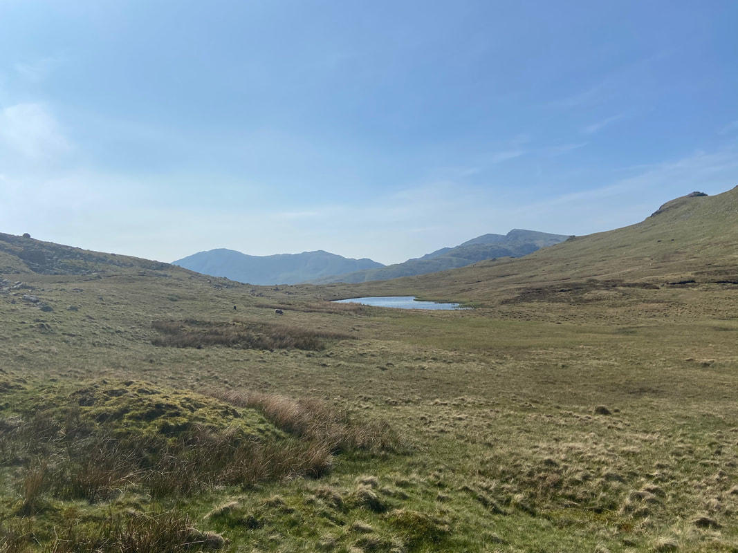
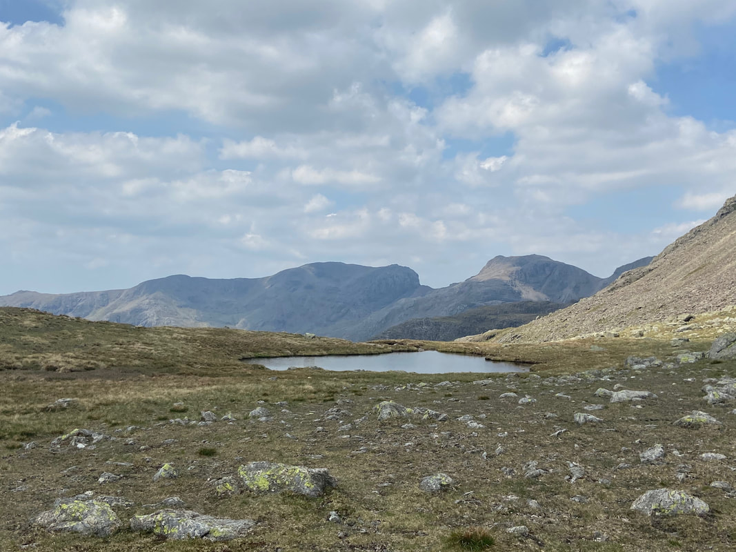
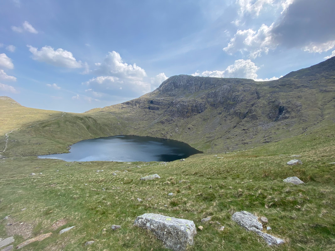
Red Tarn
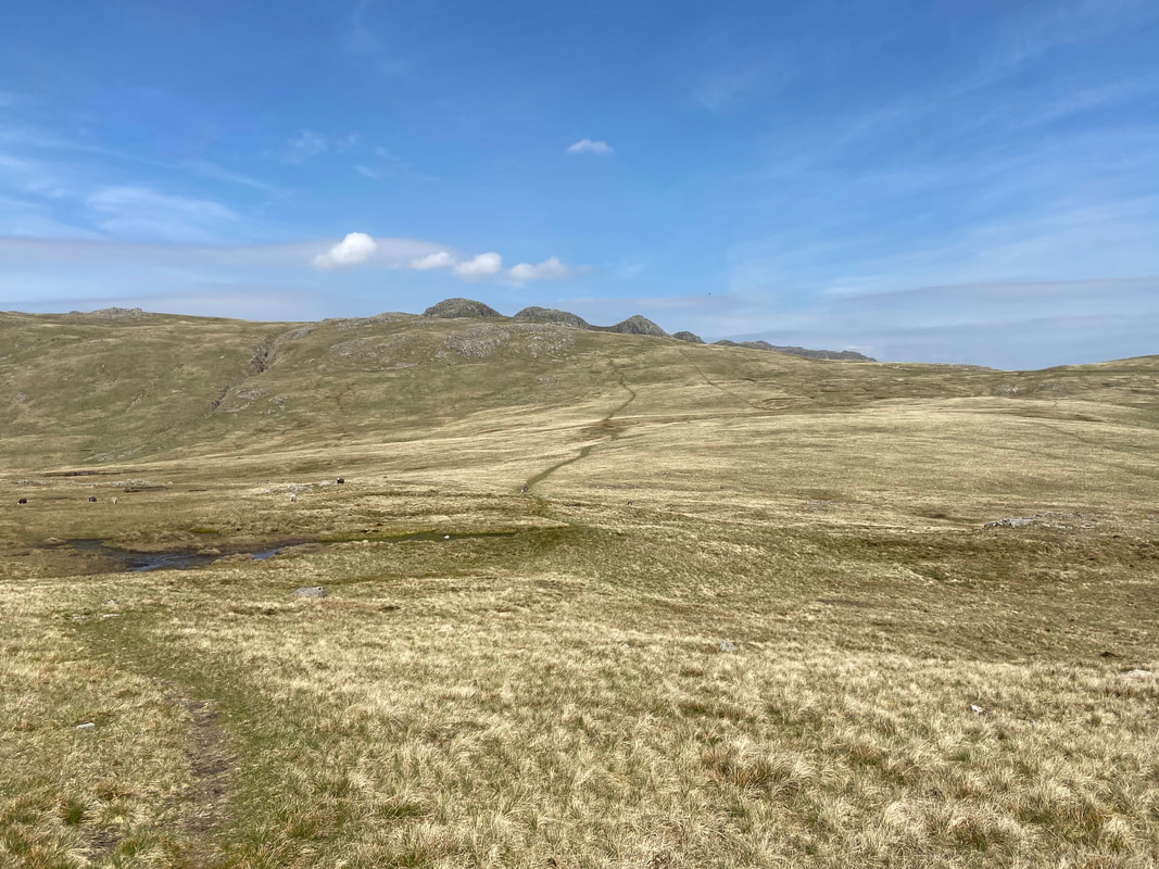
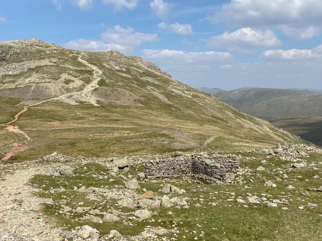
Descending to the col with our next goal of Cold Pike up ahead to the left. The path to the left leads to the Wrynose Pass at the Three Shire Stone with the right hand path leading back to Langdale via Brown Howe & Oxendale. The path stretching out ahead is the main path to Crinkle Crags and is the one we would take to reach Cold Pike, branching off to the left after 400 yards.
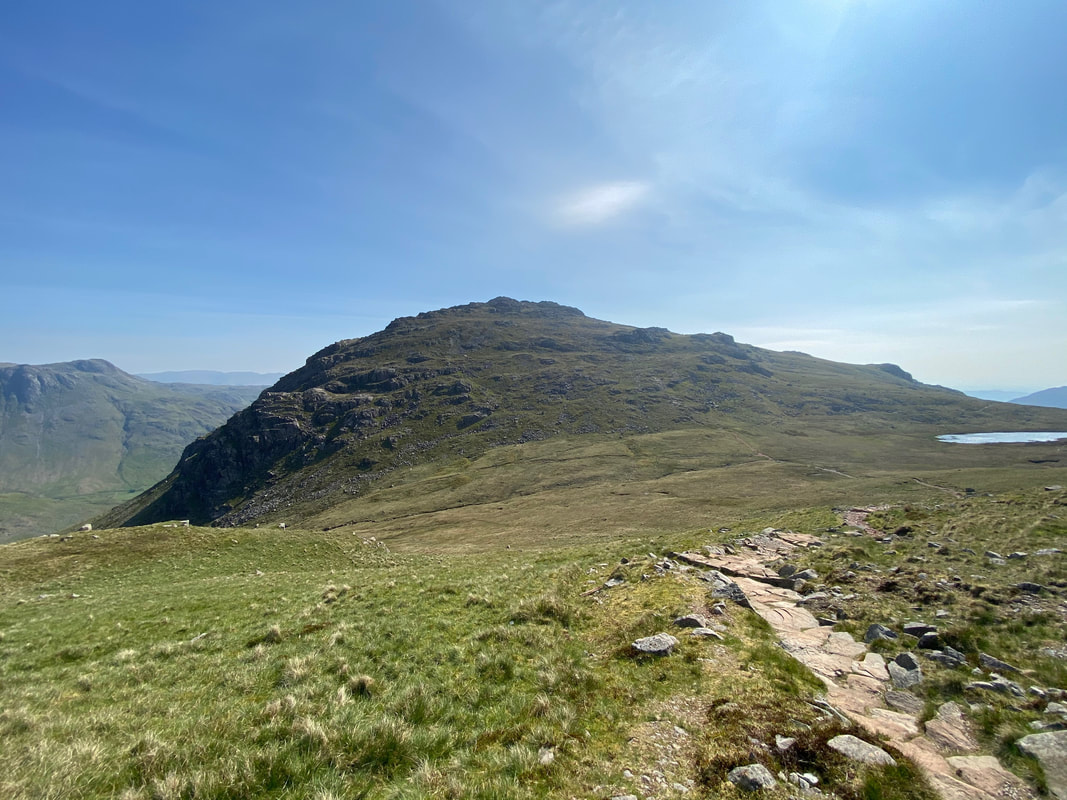
Pike O'Blisco from the Crinkle Crags path
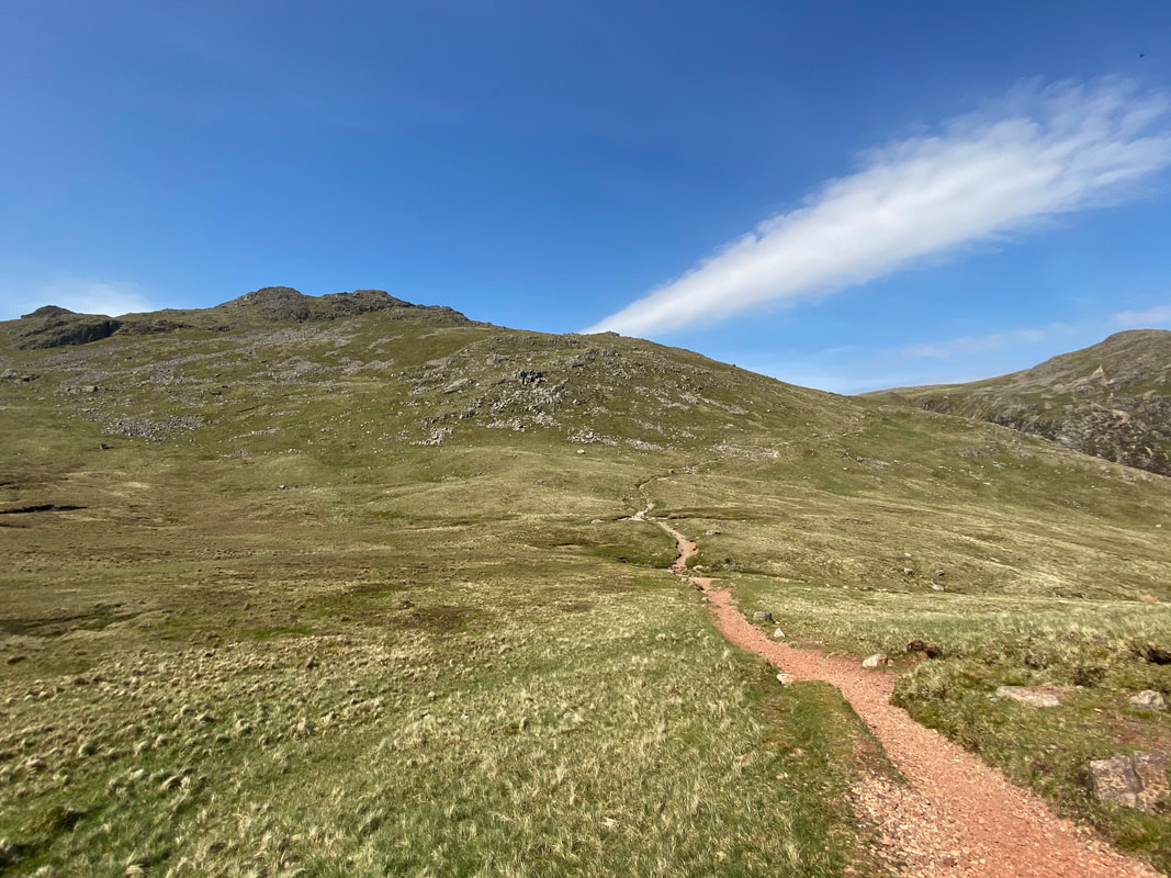
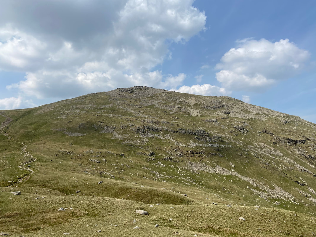
Ascending Cold Pike with the Crinkle Crags path below
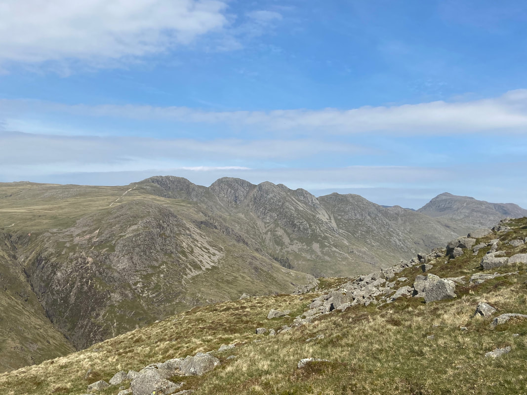
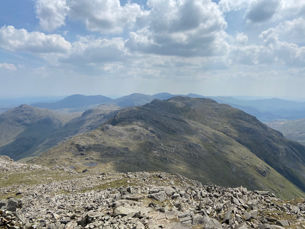
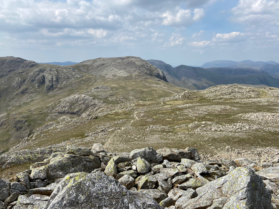
The summit of Cold Pike looking to Crinkle Crags & Bowfell
The summit of Cold Pike - this time with a great view of the Langdale Pikes & Pike O'Blisco
Descending from Cold Pike to rejoin the Crinkle Crags path
Little Stand from the descent of Cold Pike
The 3rd & 4th Crinkles
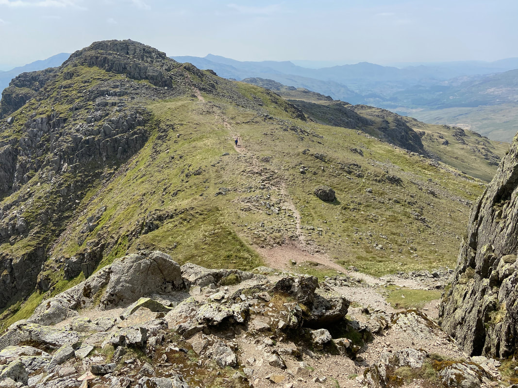
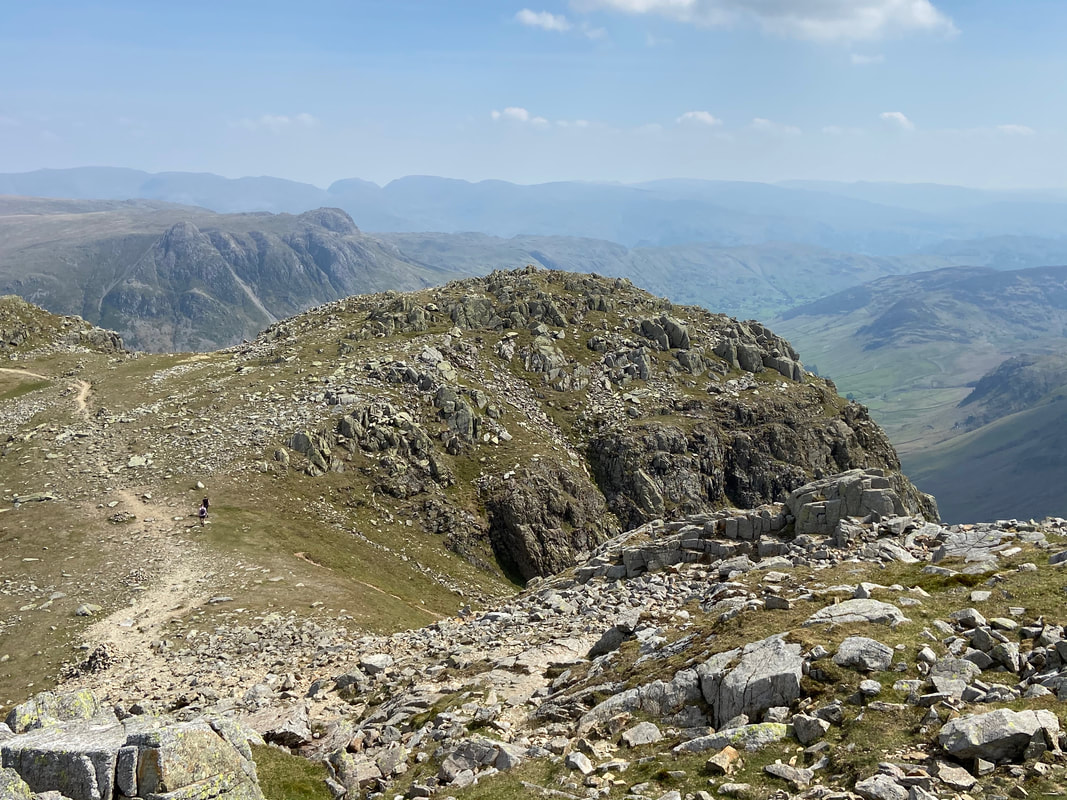
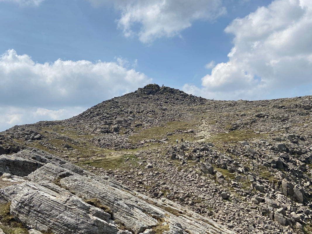
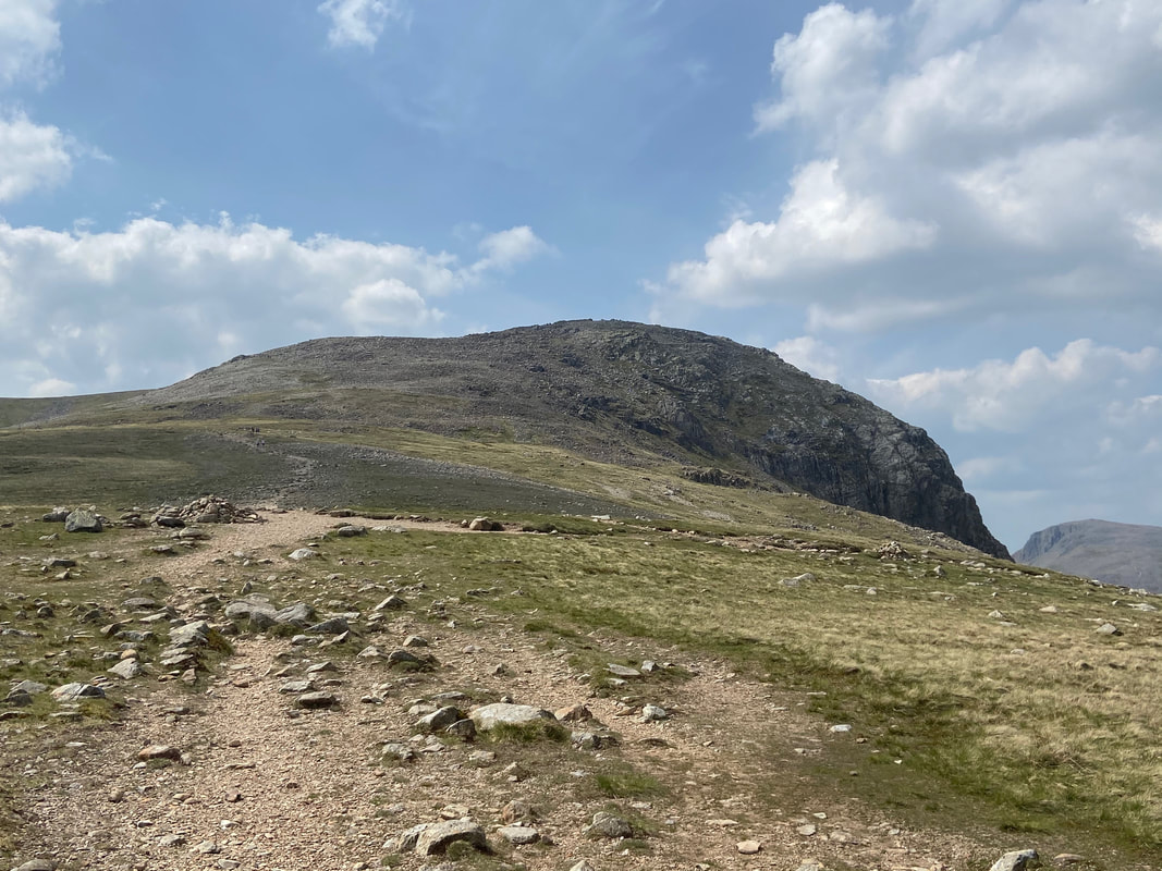
The summit of the 1st Crinkle known as Crinkle Crags South Top. Beyond is Long Top which is the 2nd Crinkle and the summit of Crinkle Crags. The name of the mountain reflects the fell's physical appearance as its summit ridge is a series of five rises and depressions (Crinkles) that are very distinctive from the valley floor.
Descending the first Crinkle for Long Top. Ahead is the Bad Step (more shortly) with the alternative path heading around to the left. In mist this is a very confusing place therefore be extremely careful and trust your navigation.
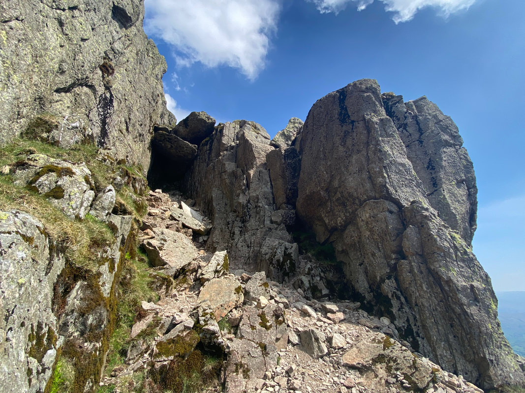
The climb to Long Top known as The Bad Step. It isn't all that "bad" if I'm honest. If you have a head for heights and are fairly agile then it shouldn't cause too many problems - plenty of foot and hand holds. The Bad step can be found at Grid Ref NY24907 04772 and once climbed a simple walk around to the left leads to the summit. There is a gully to the left of the Bad Step but as can be seen from this shot, it is blocked by two huge chockstones.
Looking back to the 1st Crinkle from the top of the Bad Step
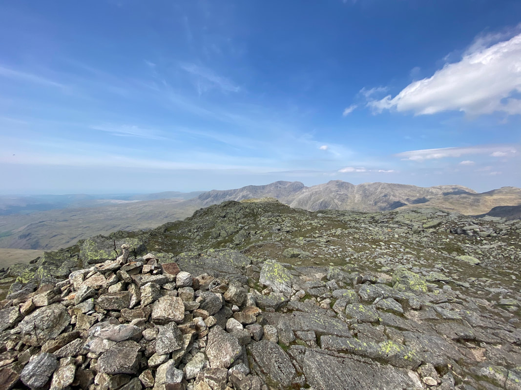
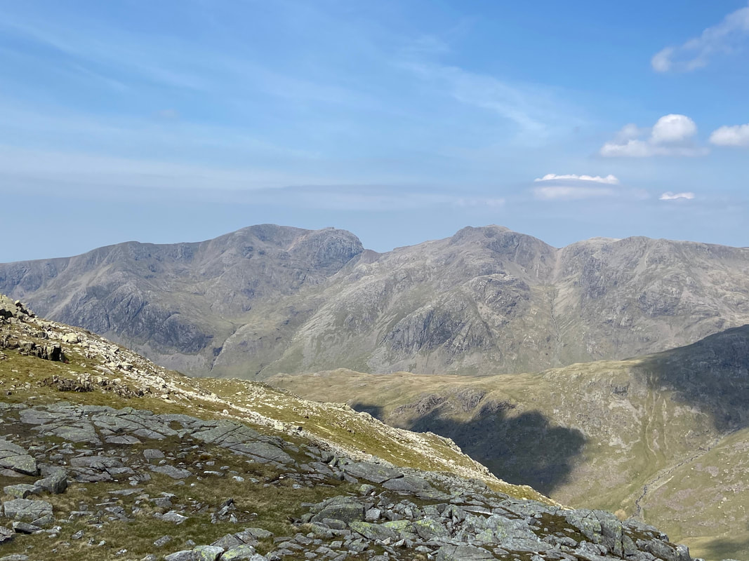
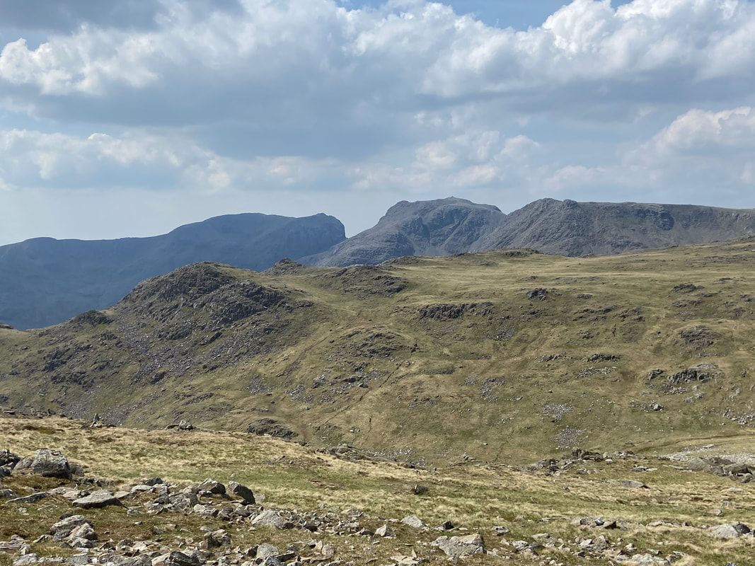
The summit of Long Top looking to The Scafells
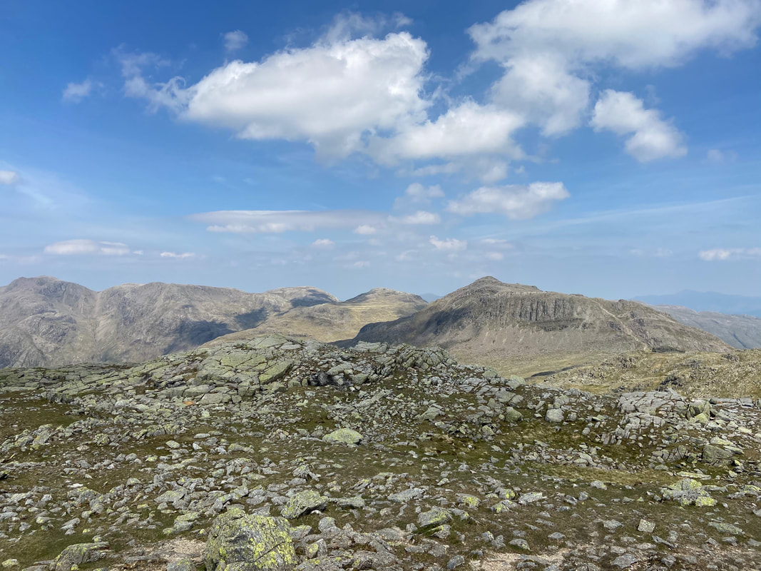
Scafell Pike, Ill Crag, Great End, Esk Pike & Bowfell from the summit of Crinkle Crags
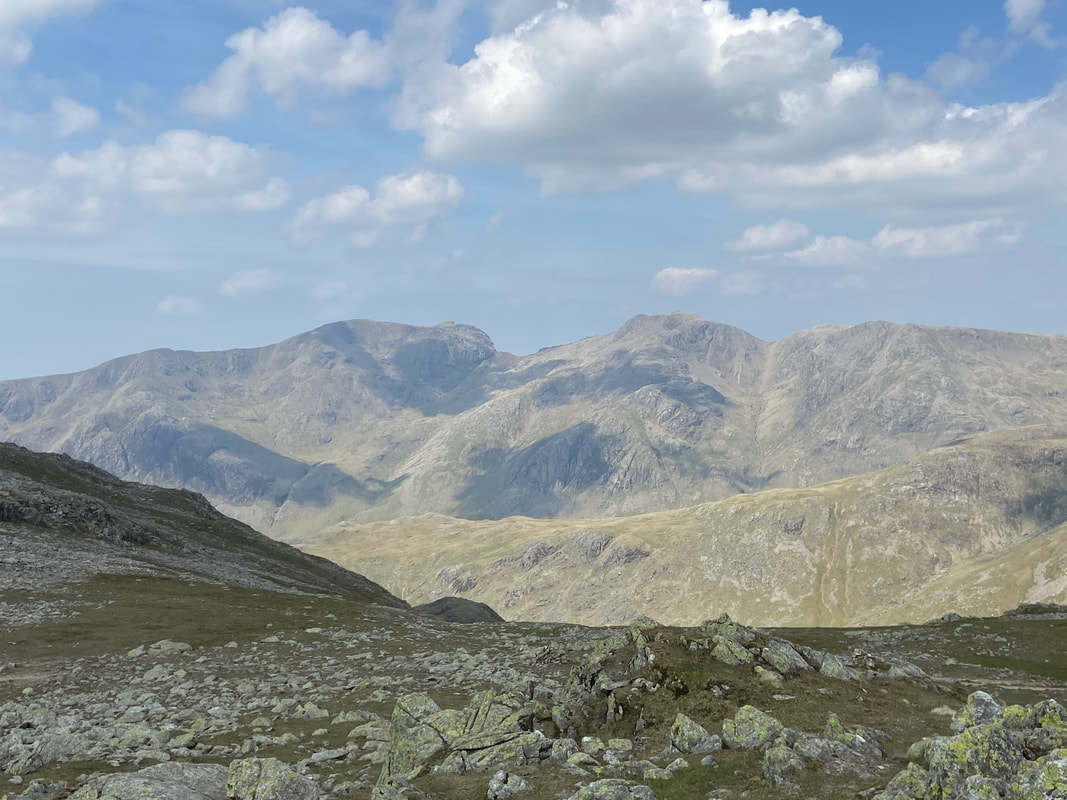
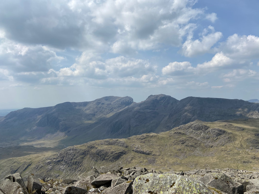
A closer look at Scafell on the left with Scafell Pike to the right
Descending Long Top for the 3rd Crinkle
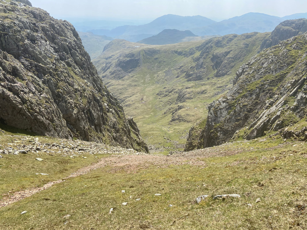
Mickle Door
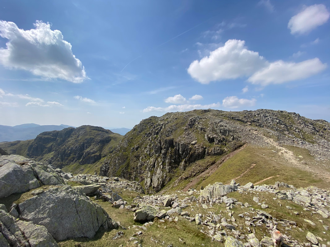
The 1st & 2nd Crinkles from the summit of the 3rd
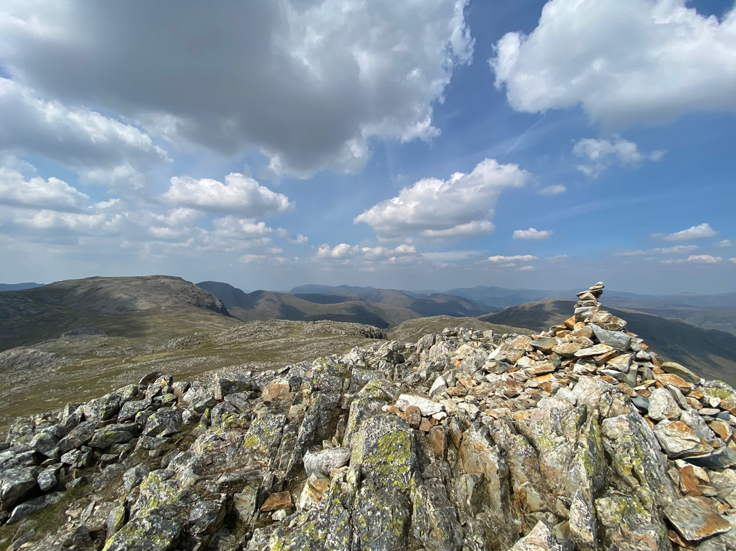
The summit of the 3rd Crinkle
Another cracking view of the Scafells
A short walk over to Crinkle No 4
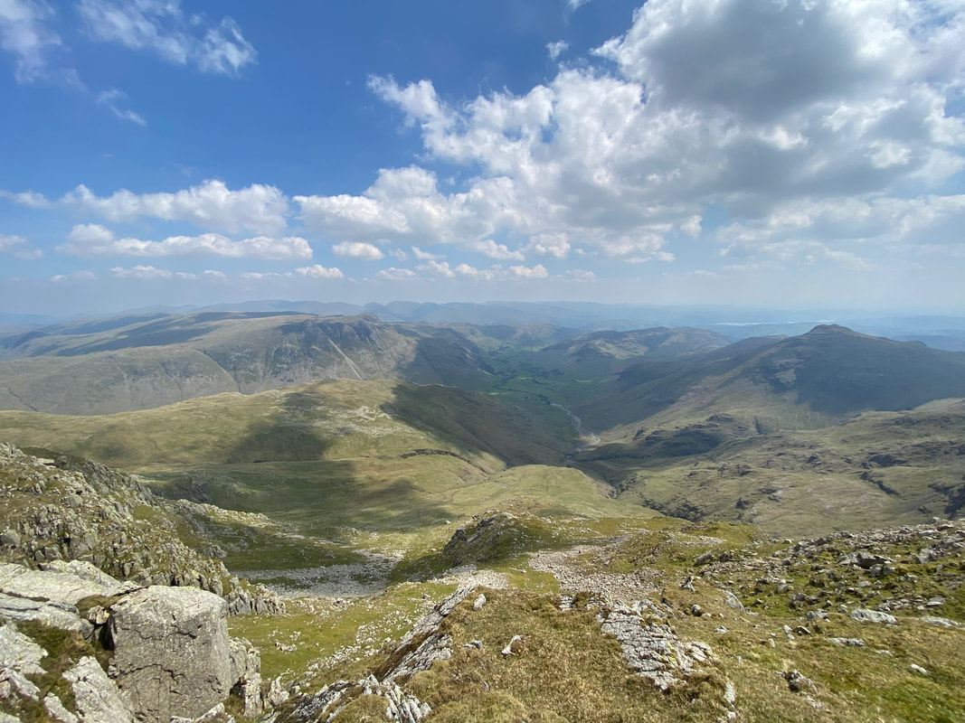
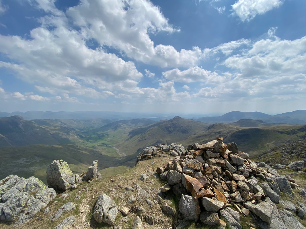
The Langdale Valley
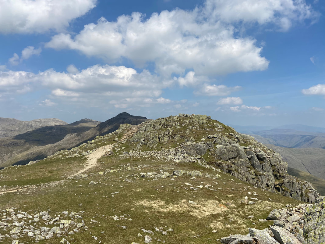
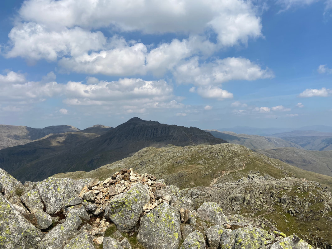
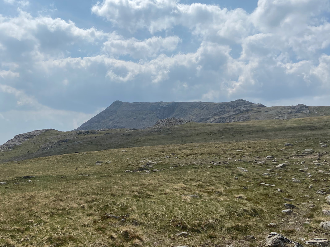
The summit of the 4th Crinkle looking to Bowfell
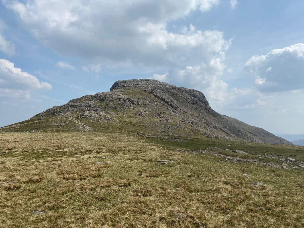
The summit of Crinkle No 5
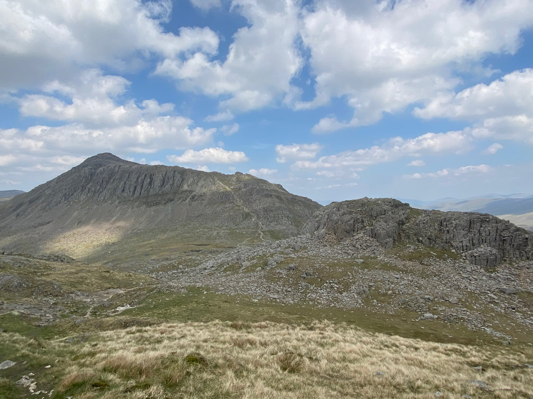
Shelter Crags with the usual path to Bowfell from Three Tarns visible - we would not be taking this path but veering off to the right at Three Tarns to climb Bowfell via The Climber's Traverse & Great Slab.
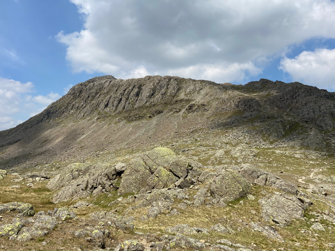
Bowfell Links on Bowfell
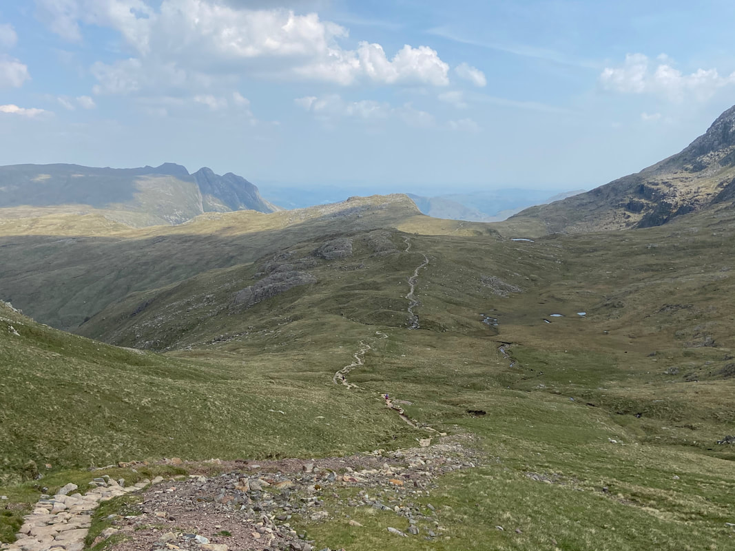
One of the Three Tarns between Crinkle Crags & Bowfell. To the rear are Slight Side, Long Green, Scafell, Mickledore & Scafell Pike
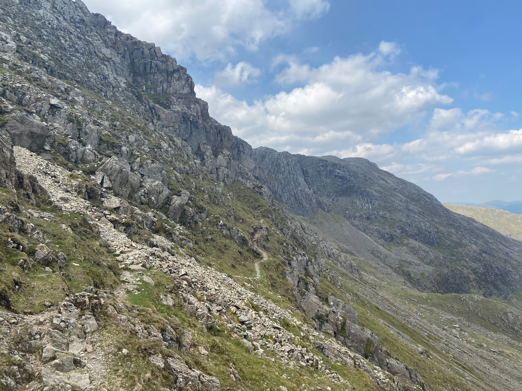
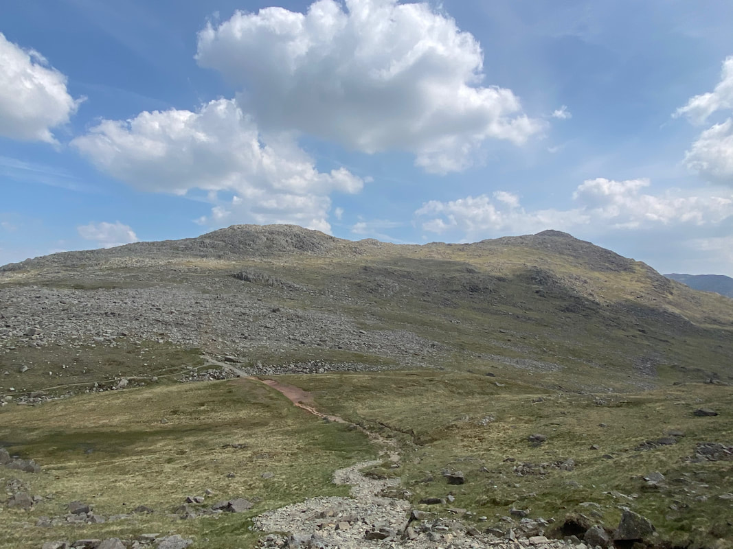
From the top of The Band at Three Tarns we headed over rough ground for about a quarter of a mile to pick up the Climber's Traverse path to Bowfell. The name "Climber's Traverse" should not put people off - it is so called because the route traverses across the eastern face of Bowfell and was initially used by climbers as a convenient way to access the various pitches on Bowfell Buttress. The path keeps level for the most part as it makes its way across the traverse of the lower slopes and there is only mild exposure.
Joining the Climber's Traverse path with the main path to Three Tarns from Langdale below
The Climber's Traverse path in all its glory with Bowfell Buttress centre
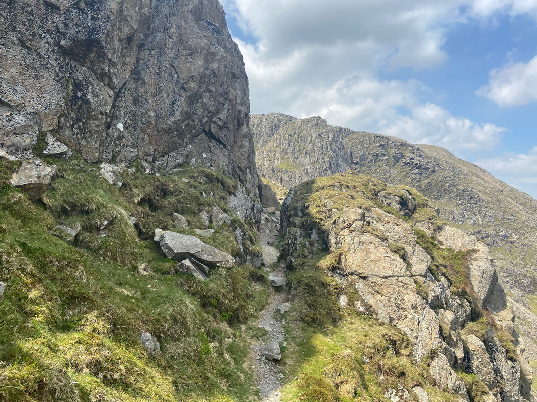
The route passes through a small rock gateway on its way to Bowfell Buttress
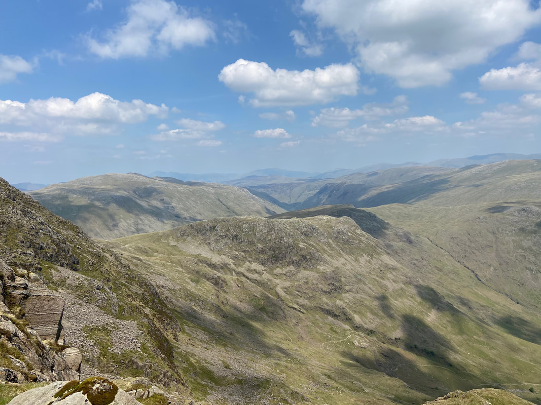
Looking over Mickleden to Rossett Pike & Black Crags
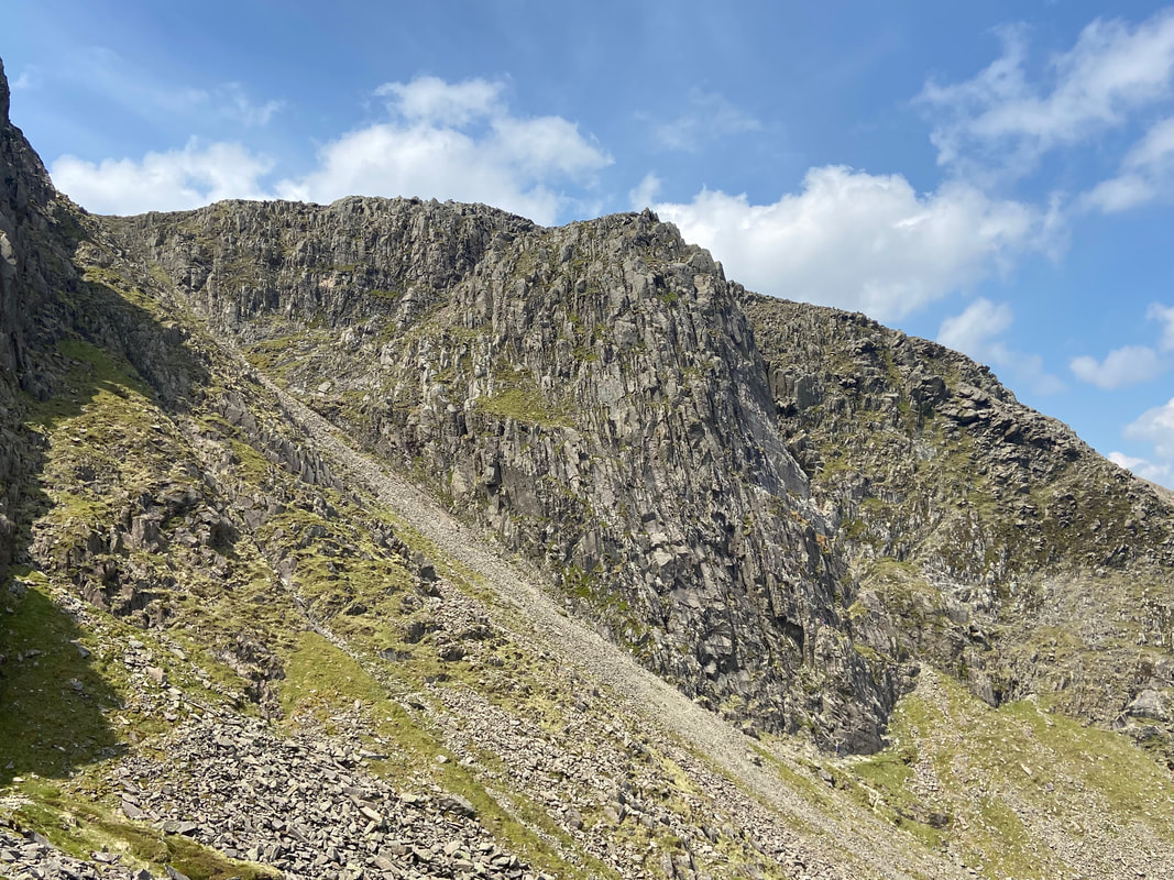
Bowfell Buttress - there were a group of climbers making their way up and for a short time we stood and watched them ascend.
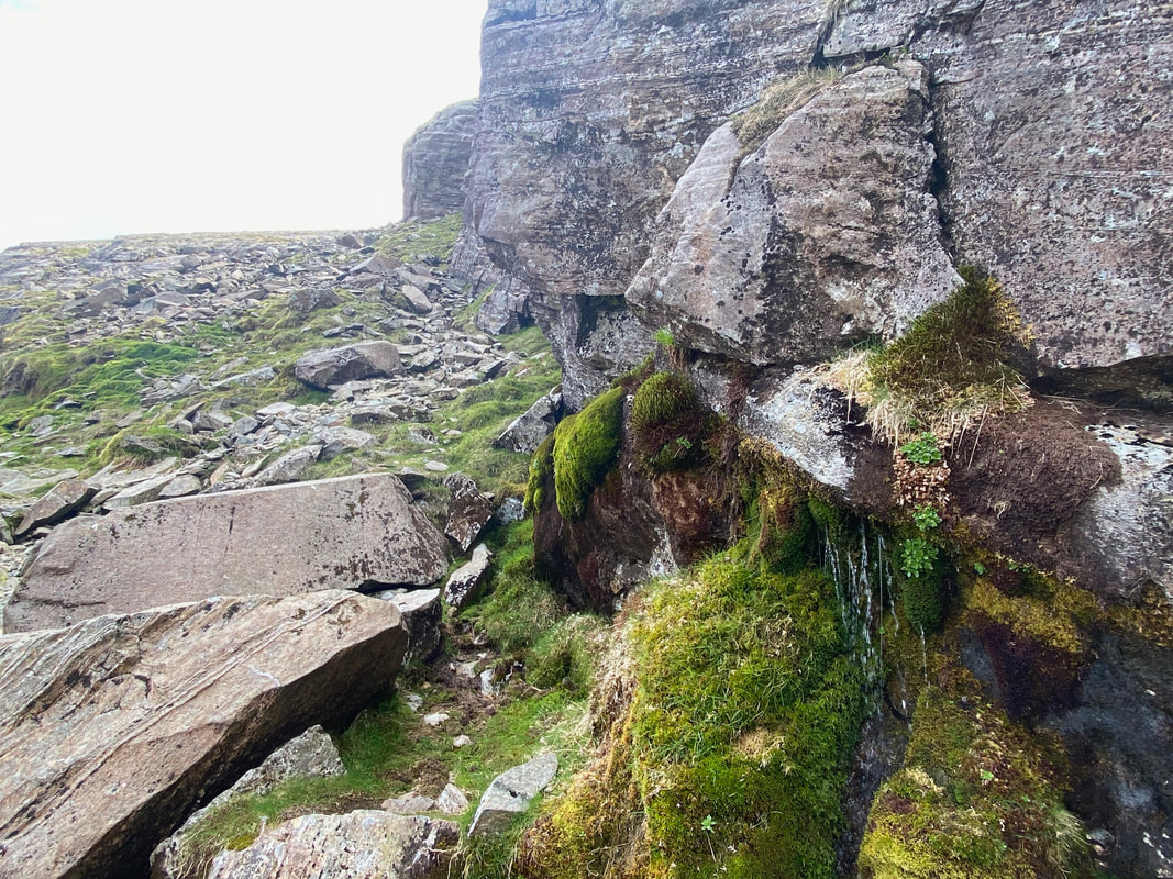
The stream gushing out of the base of Cambridge Crag which marks the point at which the ascent to the side of Great Slab of Flat Crags begins. The stream is located at Grid Reference NY 24609 06599.
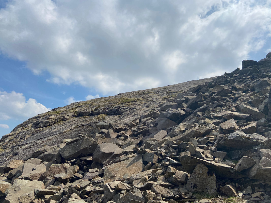
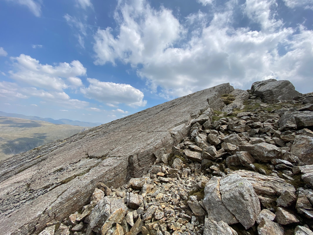
A short rocky scramble leads to the base of Great Slab. It is here that you have 2 options - if the Slab is as dry as a bone (as it was today) then it is easy enough to ascend over the flat rock. However if the slab is wet then it is best to keep to the right and scramble over the loose stone.
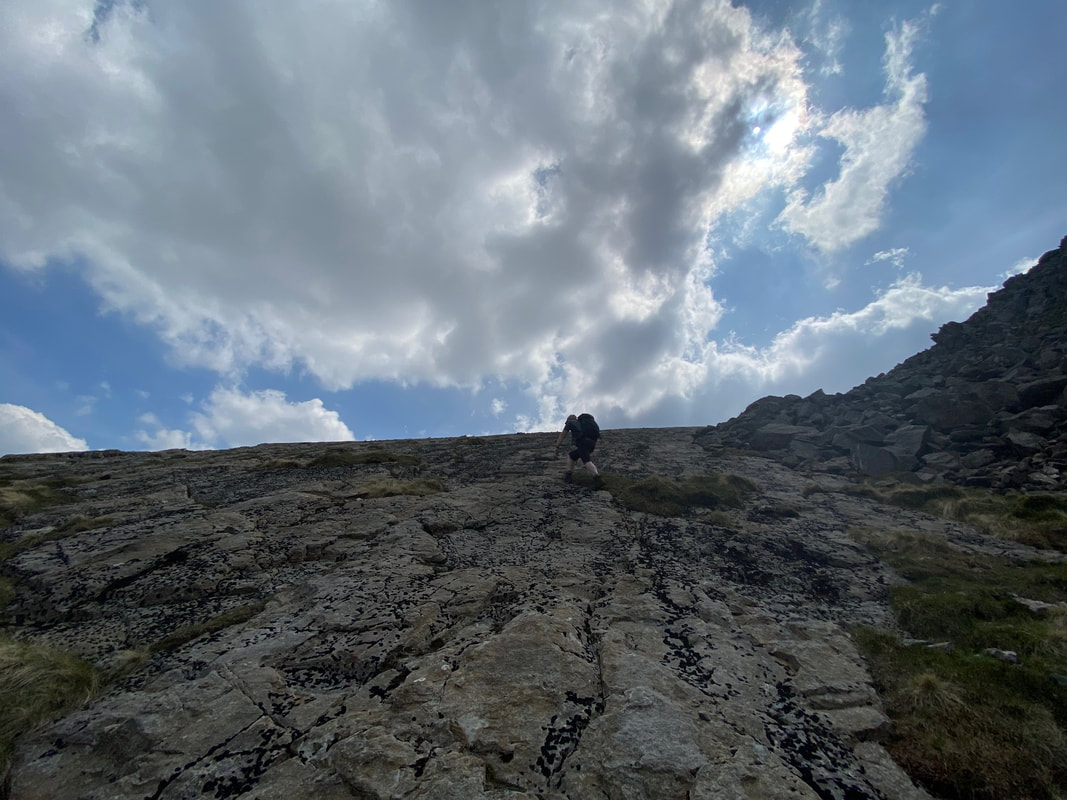
Andy ascending Great Slab - it is a steep gradient but great fun
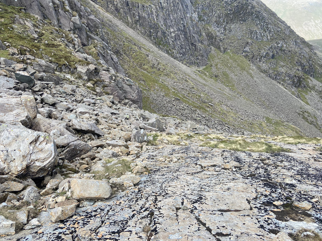
Looking back down Great Slab
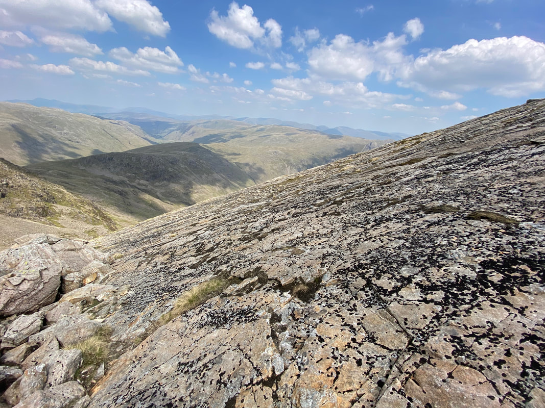
The view across the face of Great Slab. I remain convinced that of the thousands of people who ascend Bowfell each year, many of them will not have seen this superb sight - it is but a few yards off the main path coming up from Three Tarns.
Great Slab on Flat Crags - I love visiting this part of the mountain
Bowfell Buttress from Great Slab
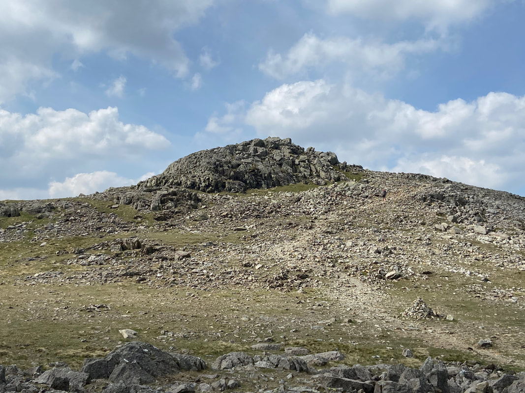
Once we had climbed Great Slab it was time to walk the few yards over to the main path coming up from Three Tarns - Bowfell's summit is now in sight and is a short ascent over loose boulders.
Looking back to the top of Great Slab from the main path
Three Tarns & Crinkle Crags with Pike O'Blisco to the left
The Scafells from Bowfell's summit
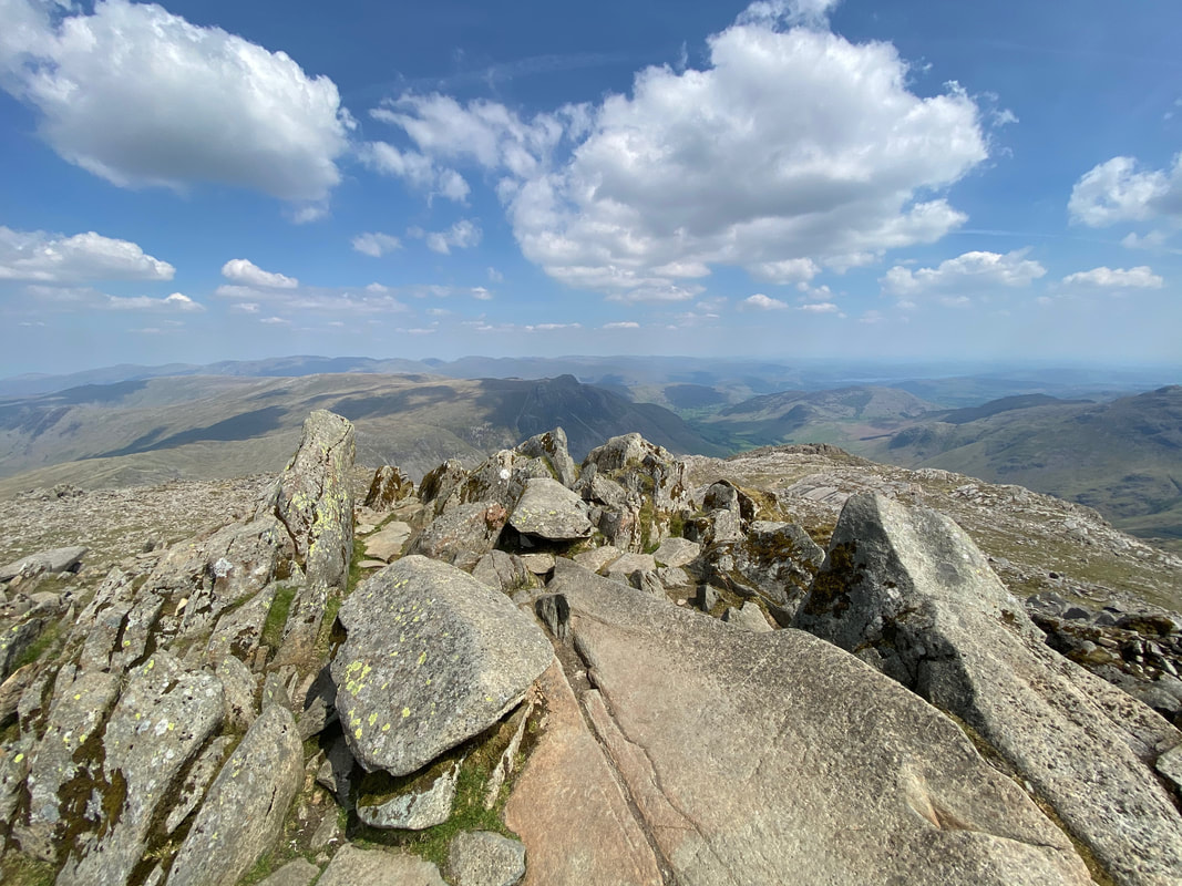
The summit of Bowfell
Ore Gap and our path up to Esk Pike
Pike de Bield and The Scafells from near Ore Gap
Bowfell North Top to the left with Bowfell to the right across Ore Gap as we ascend Esk Pike. The path heading left leads to Angle Tarn and is an option if you want to return to Langdale sooner thus missing out Esk Pike.
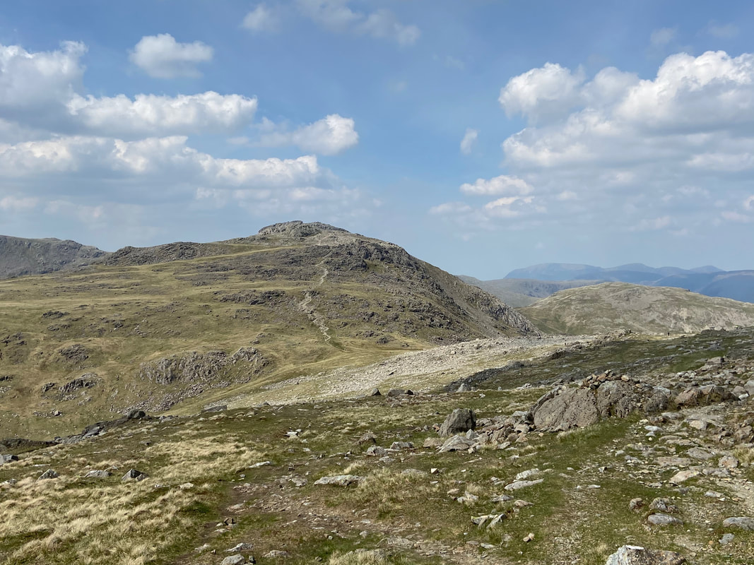
The final part of the ascent to Esk Pike
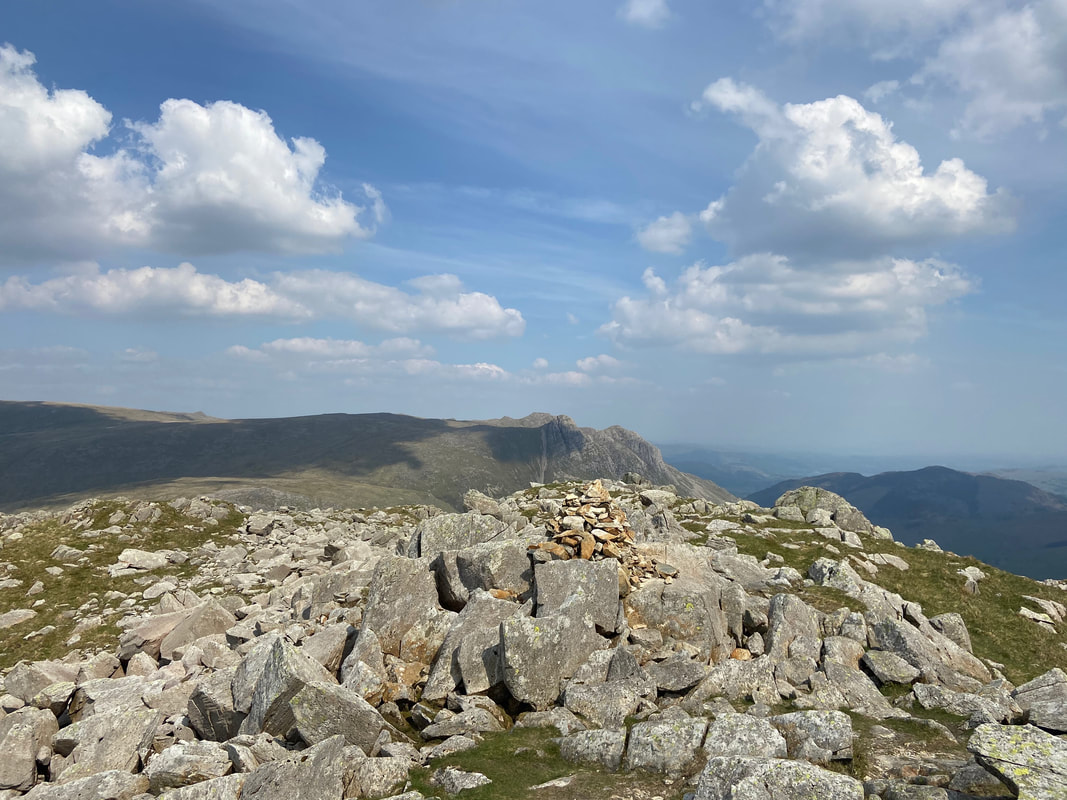
The summit of Esk Pike looking to Great End
Descending Esk Pike to Esk Hause
Ill Crag from Esk Hause
Reaching the crossroads of paths at Esk Hause with Great End up ahead. In mist, Esk Hause can be a very confusing place therefore take care to ensure you leave in the right direction - in this case to the right.
Esk Pike from Esk Hause
The cross shelter below Esk Hause with Allen Crags to the rear. The walker below is stood at a crossroads of paths - straight on to Allen Crags, left to Sprinkling Tarn & Sty Head and to the right is our path which leads down to Angle Tarn and Rossett Pike.
Heading for Rossett Pike which is in the centre of shot - Angle Tarn is just about in view to the right.
The southern flank of Allen Crags
Angle Tarn with Hanging Knotts to the right
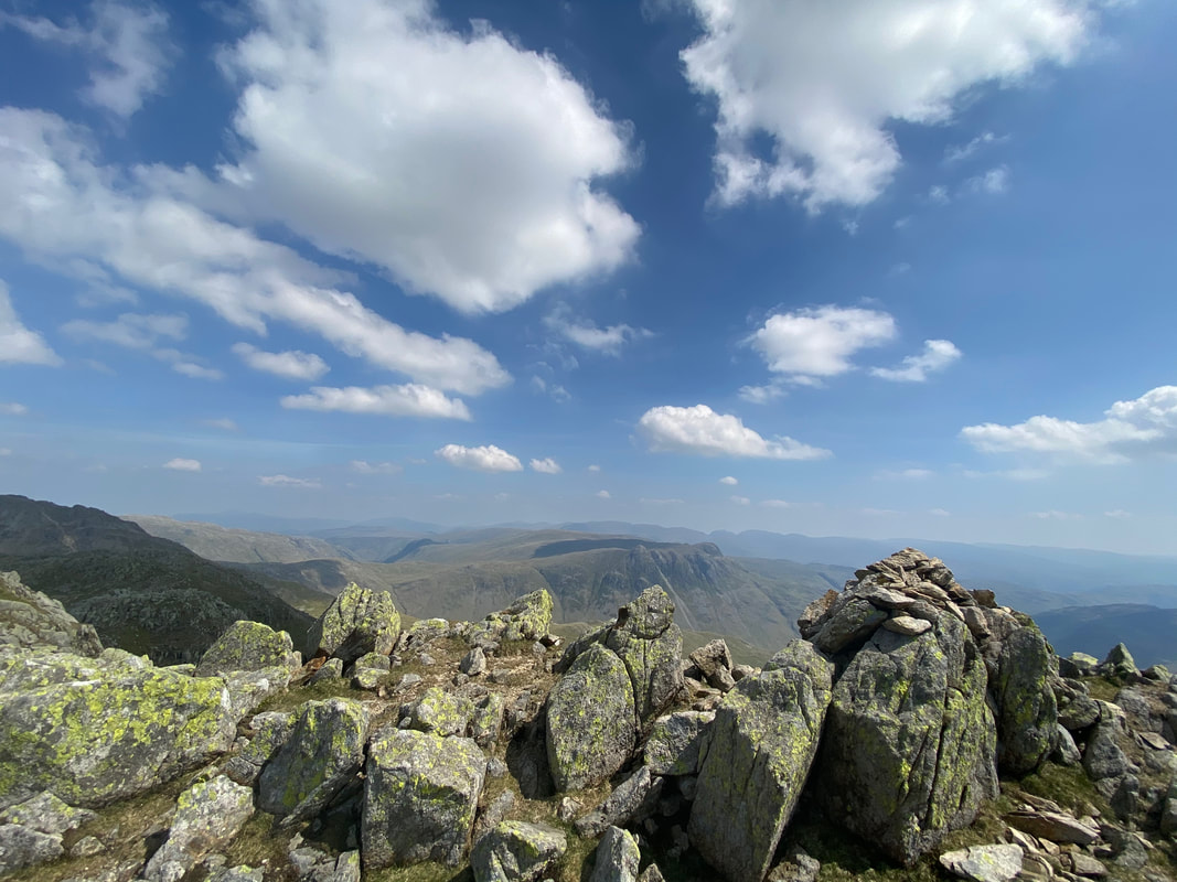
The summit of Rossett Pike. Although we didn't do so today, if you have time have a wander along the crest of Rossett Pike to the east where there is another cairn - it gives a glorious view over to the Langdale Pikes & Mickleden.
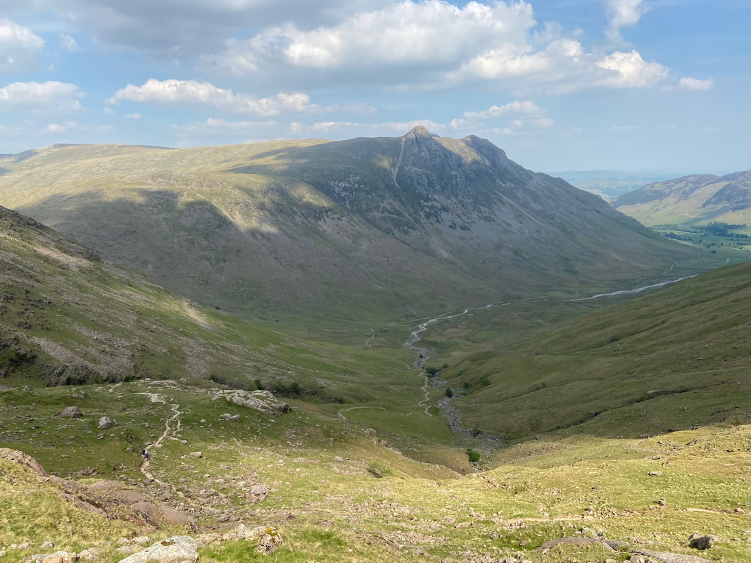
Mickleden & the Langdale Pikes as we descend the Rossett Gill path back to Langdale
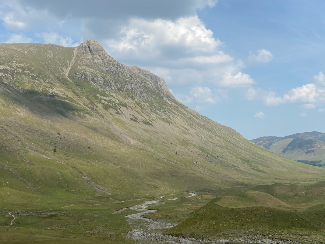
Almost down on the valley floor where a long walk back to Langdale awaits
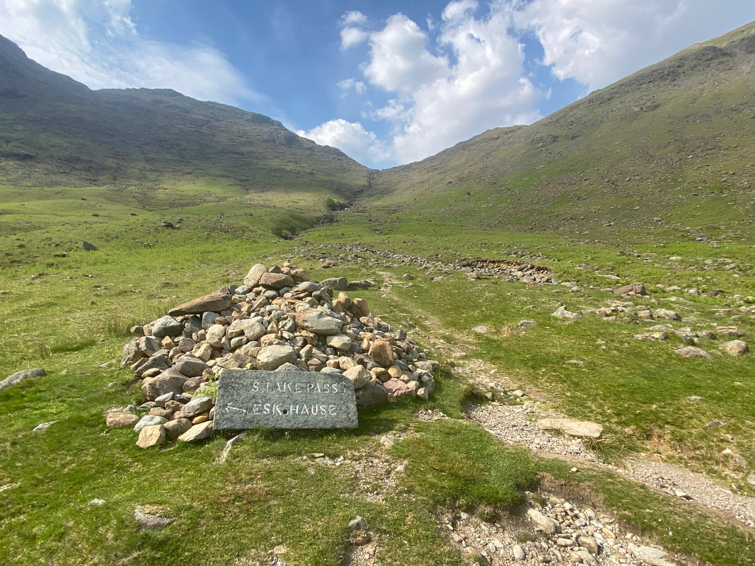
The Esk Hause & Stake Pass path junction - the latter will eventually deliver you into the Langstrath valley and on to Borrowdale
A last look at the Langdale Pikes as we near the ODG
Lingmoor Fell, Kettle Crag & Pike O'Blisco
