Penhill Beacon, Knights Templars Chapel & Redmire Force - Sunday 12 September 2021
Route
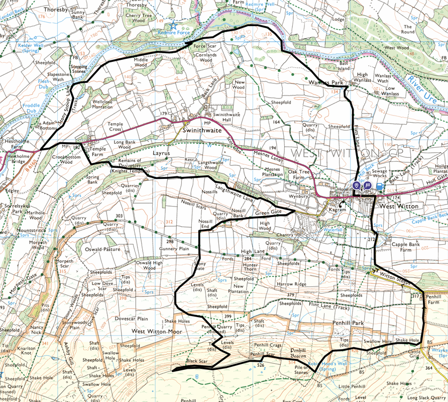
West Witton - Witton Steeps - Penhill Farm - Swallow Hole - Penhill Beacon - Penhill Scar - Black Scar - Penhill Quarry - High Lane - Green Gate - Langthwaite Lane - Knights Templars Chapel - Temple Farm - Stony Stoop Lane - Slapeston Wath - Redmire Force - Wanlass Park - Flats Lane - West Witton
Parking
On road parking in the village of West Witton near the Fox & Hounds Inn on the A684 - Grid Reference SE 06071 88409. The nearest postcode is DL8 4LP.
Mileage
10.7 miles
Terrain
Farmland paths and quiet lanes. There is a short section of road walking along the A684 between Temple Farm & Stony Stoop Lane - the road has no pavement therefore care needs to be taken.
Weather
Overcast with good visibility
Time Taken
5hrs
Total Ascent
1761ft (537m)
Map
OL30 - Yorkshire Dales Northern & Central Areas (Wensleydale & Swaledale)
Walkers
Dave, Angie & Fudge
|
GPX File
|
| ||
If the above GPX file fails to download or presents itself as an XML file once downloaded then please feel free to contact me and I will send you the GPX file via e-mail.
Route Map
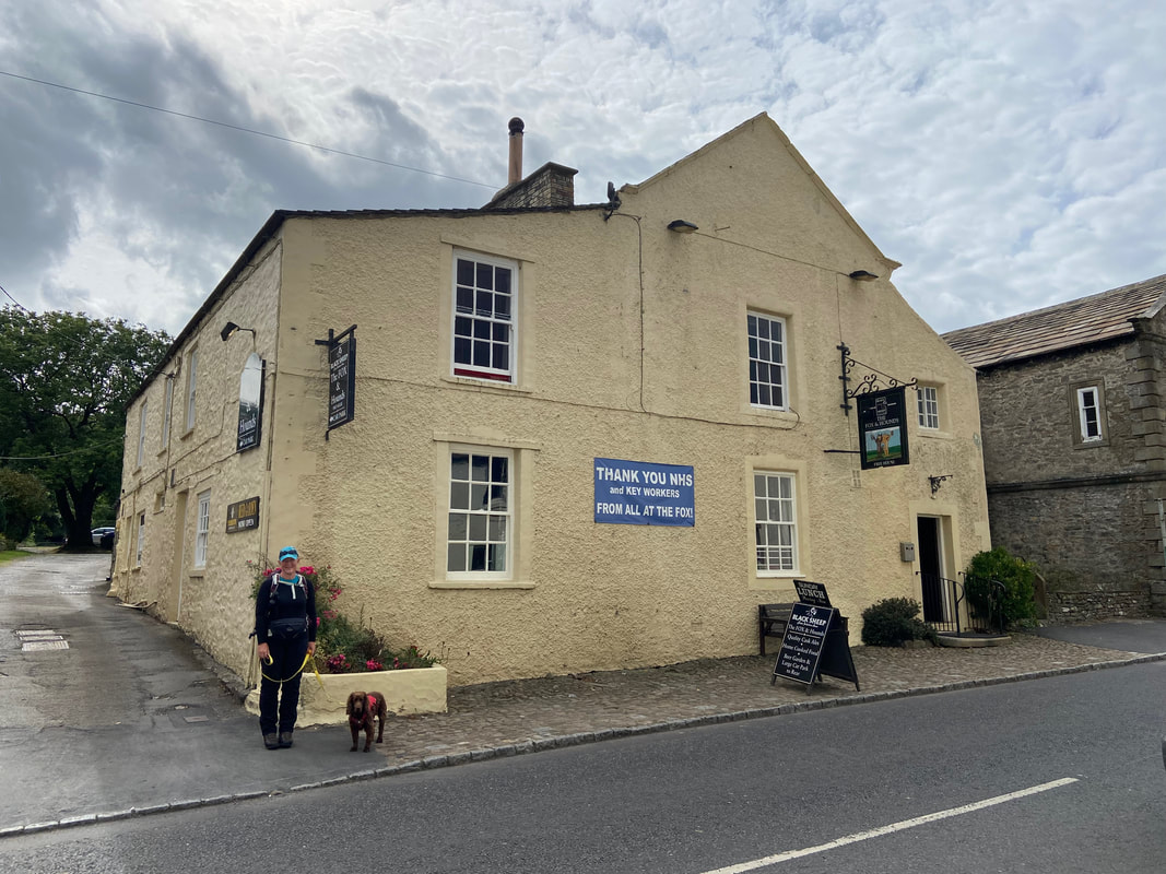
Arriving in West Witton we parked on the roadside opposite the Fox & Hounds
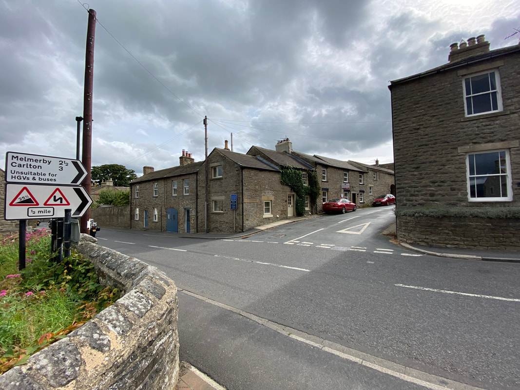
A few hundred yards east along the A684 the route heads to the right on Grassgill Lane
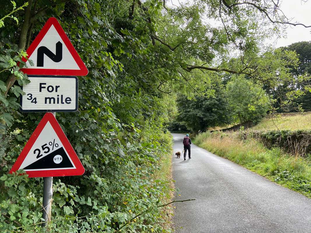
Continuing up Grassgill Lane it looks as though things are going to get a bit steep
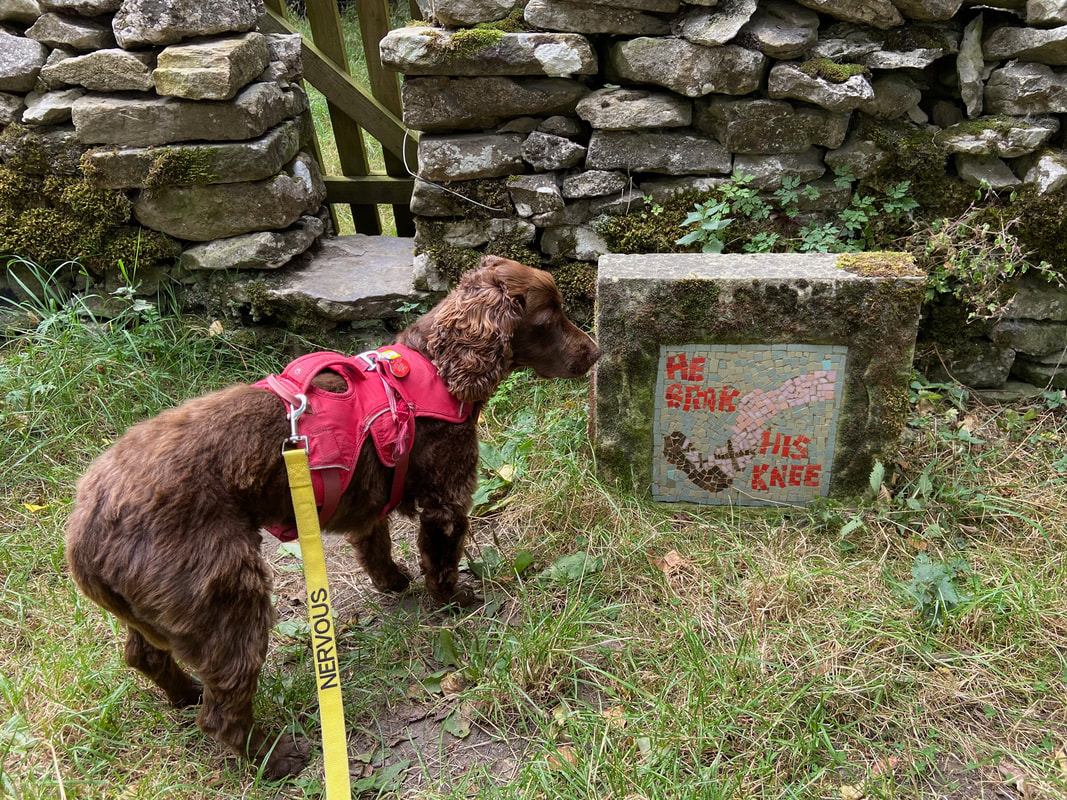
Above Capple Bank Farm on the right hand side of Grassgill Lane we noticed this small mosaic which is one of 6 dotted around the countryside near here. Each mosaic depicts a line from "The Doggerel" which is a story of the Burning of Bartle. Each year a celebration is held on the nearest Saturday to 24 August whereby a larger than life effigy of "Owd Bartle" is paraded around the village of West Witton stopping at strategic places to recite The Doggerel before finally being burnt at Grassgill End. The Doggerel itself reads:
"On Penhill Crags he tore his rags
Hunter's Thorn he blew his horn
Capplebank Stee happened a misfortune and brak' his knee
Grisgill Beck he brak' his neck
Wadham's End he couldn't fend
Grassgill End we'll mak' his end. Shout, lads, shout."
Nobody seems to know the origins of the tradition, or who Old Bartle actually was. The connection with St Bartholomew's Day has led some to suggest that "Old Bartle" is actually "St. Bart" (i.e. St. Bartholomew) himself, though quite why his pursuit, capture and ritual murder by immolation should be celebrated in a pagan style ceremony with overtones of the classic British horror drama film "The Wicker Man" one can only surmise. Another theory holds that Old Bartle was a sheep rustling ne'er do well (or perhaps simply just an innocent victim?) who fell out of favour with his peers and came to a grisly end. The doggerel chanted tells of some kind of chase taking in Penhill and other local landmarks, with Bartle succombing to various terrible injuries before being finished off just outside the village. So goes the verse: "At Grassgill End we’ll make his end.."
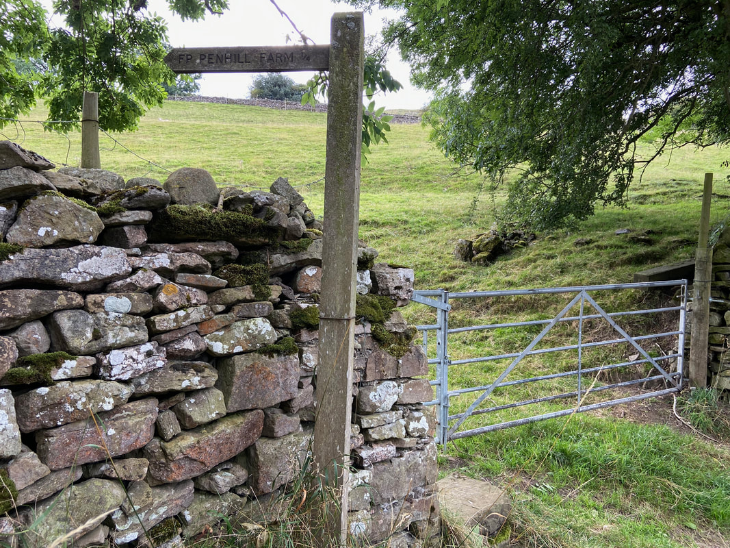
Near Witton Steeps the route leaves the tarmac and heads to Penhill Farm
Heading up Witton Steeps. Penhill Farm can also be reached by simply staying on the road.
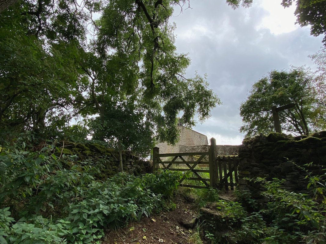
At the top of Witton Steeps Penhill Farm is reached via a hand gate and the road is rejoined
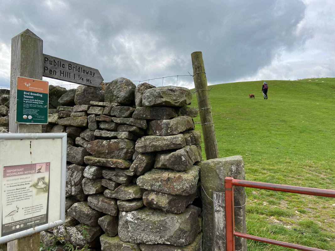
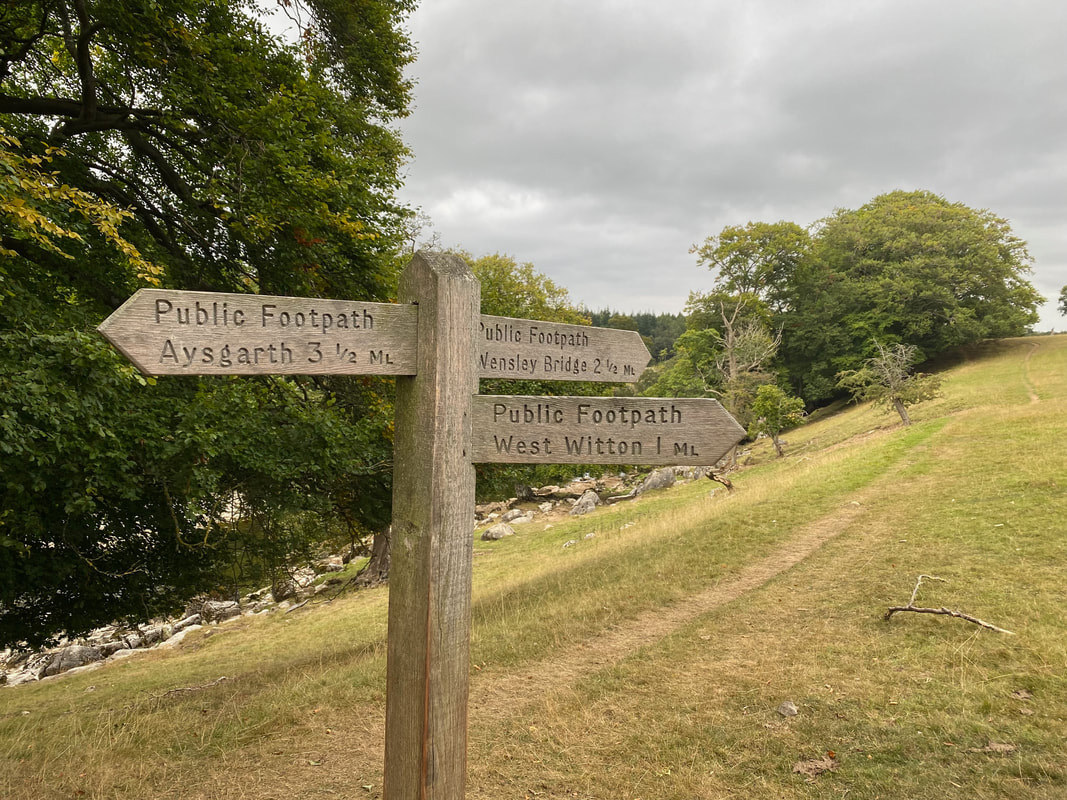
Just before a cattle grid a sign on the right points the way over Swallow Hole towards Penhill Beacon
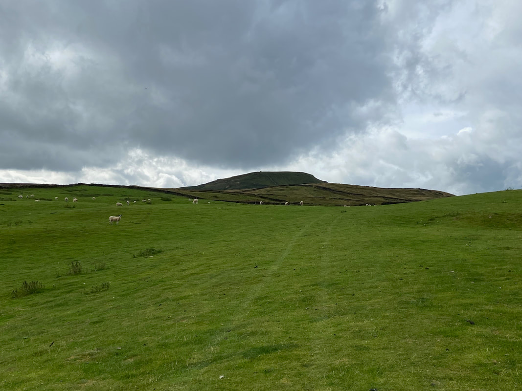
Penhill Beacon now in view as we transit over Swallow Hole
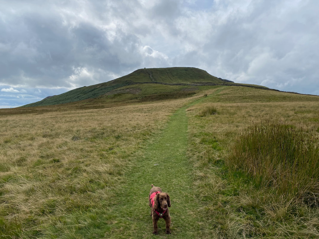
A little nearer Penhill Beacon which looks a lot like Pen-y-ghent in miniature. Fudge looks like he is just about to say something.
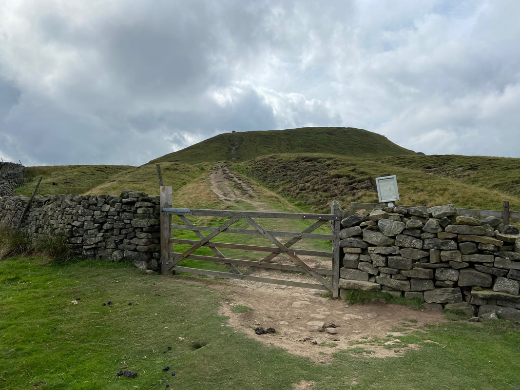
A five bar gate is reached which gives access to the final few hundred yards to Penhill Beacon
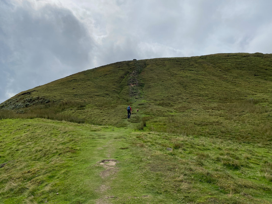
The short and steep climb to Penhill Beacon
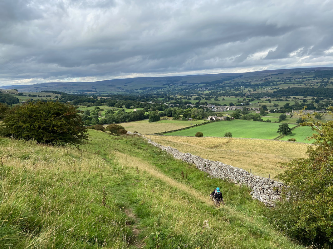
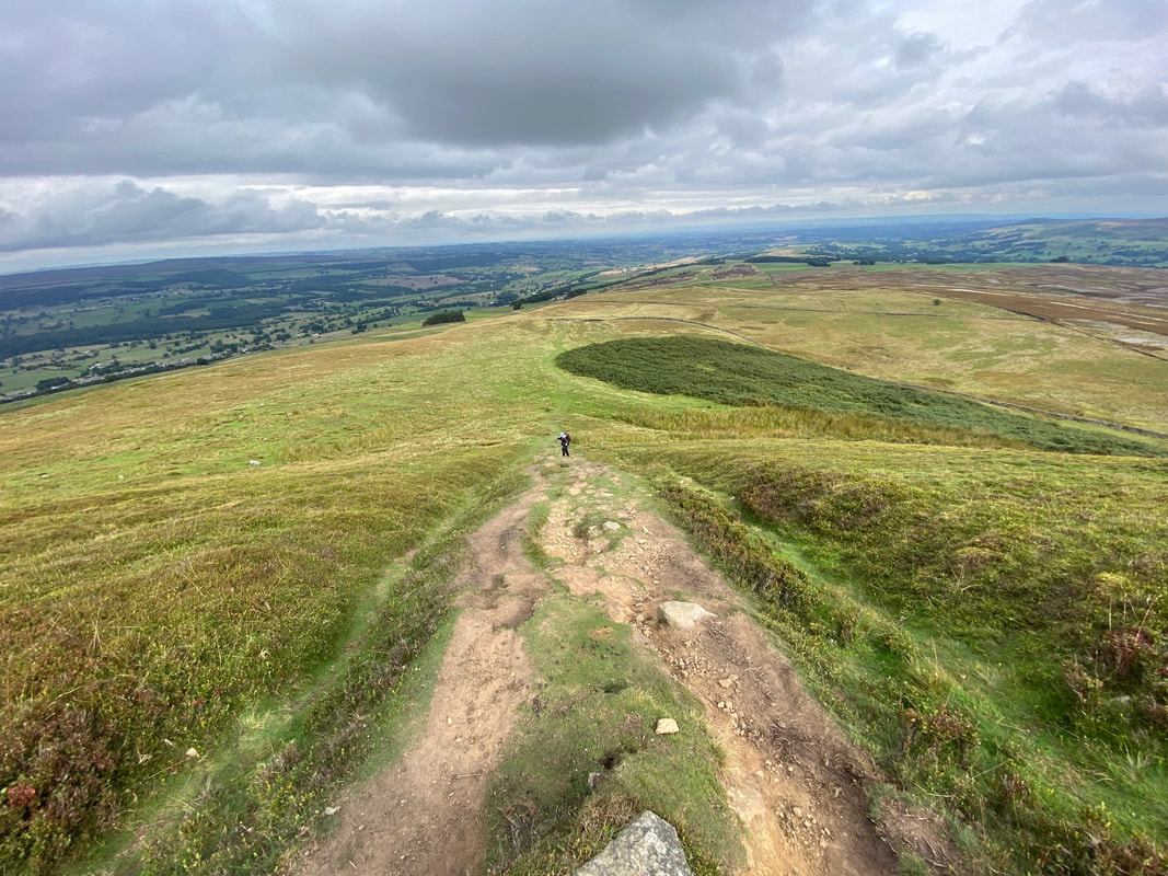
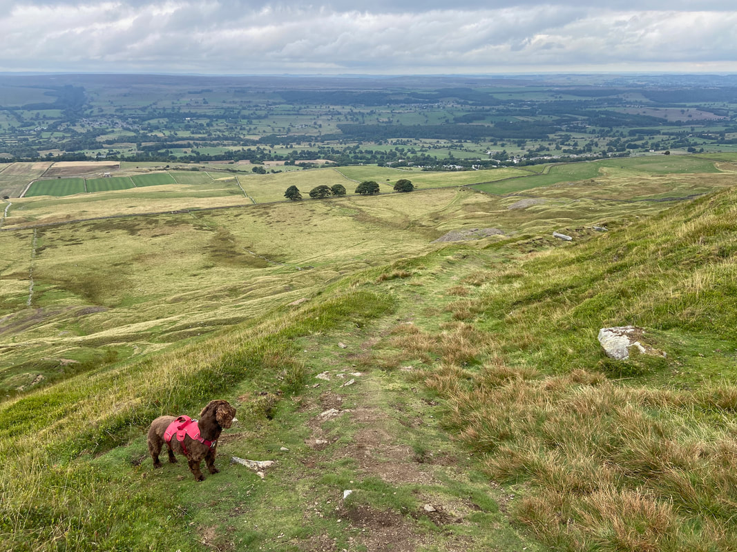
Looking back down to the ascent of Penhill Beacon
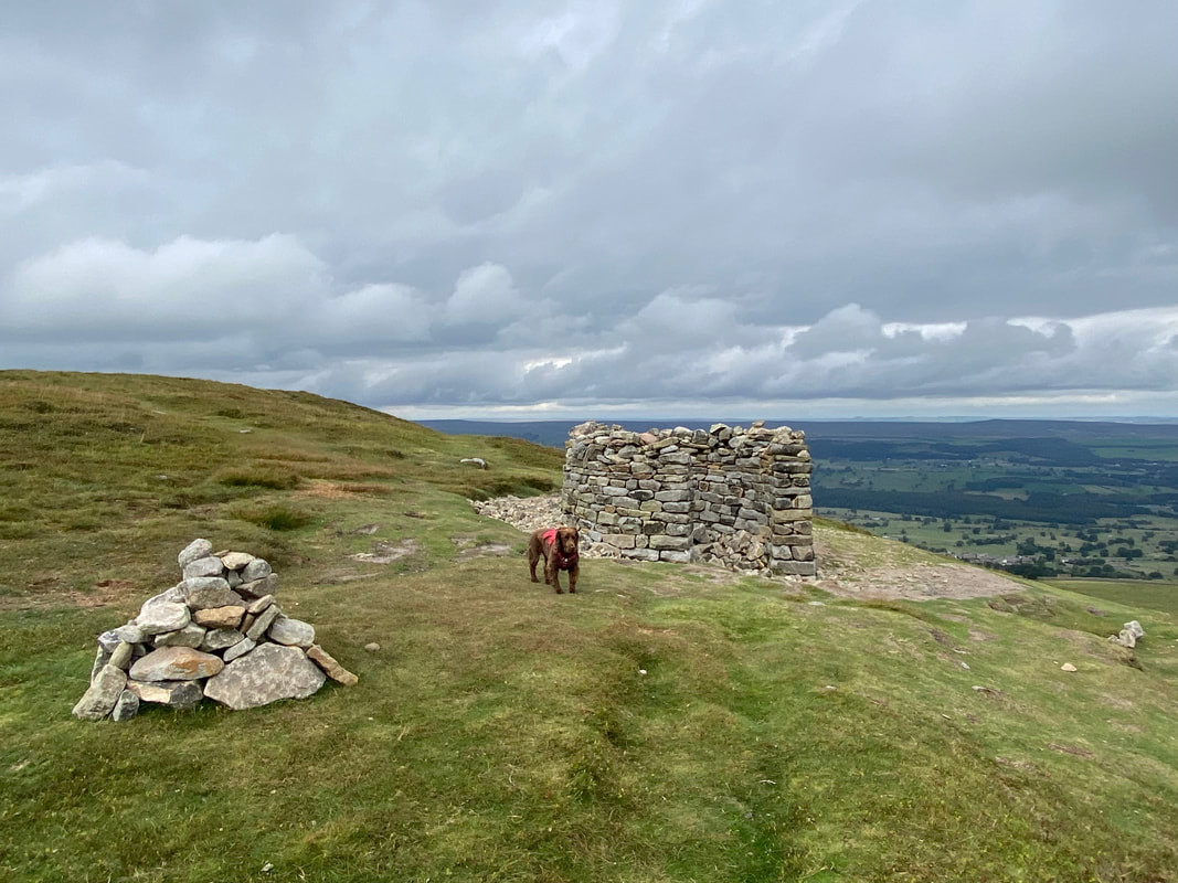
Penhill Beacon
The 514m spot height on Penhill Beacon
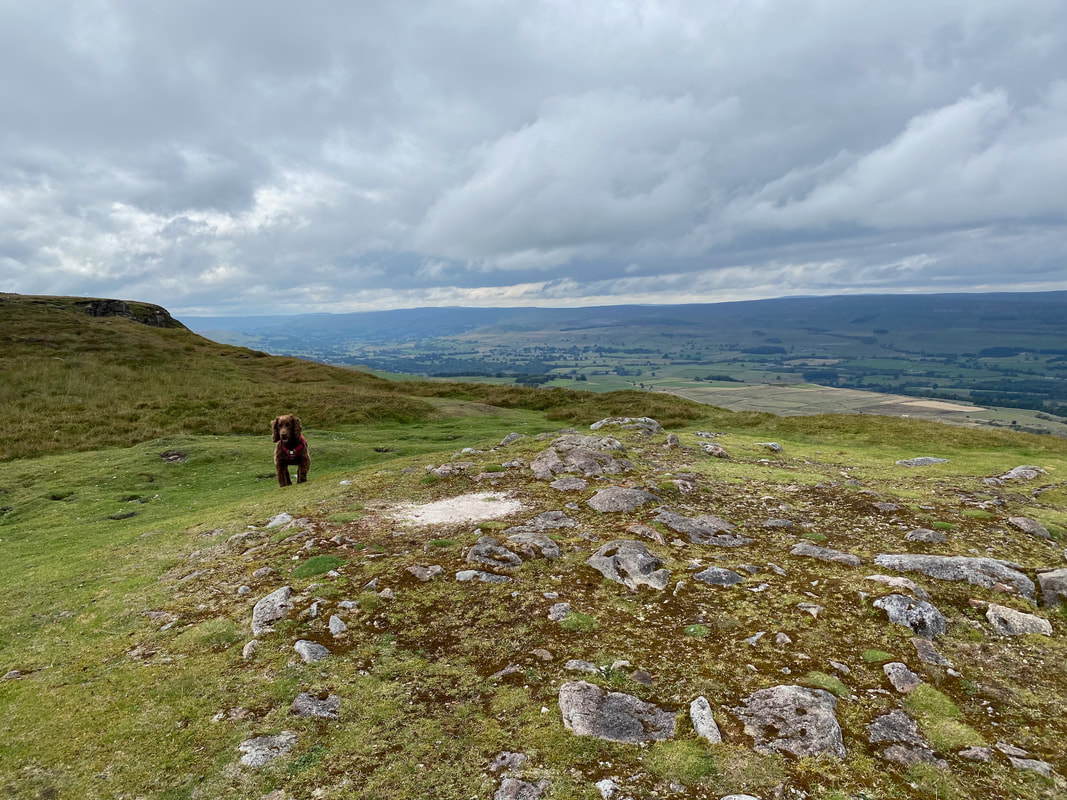
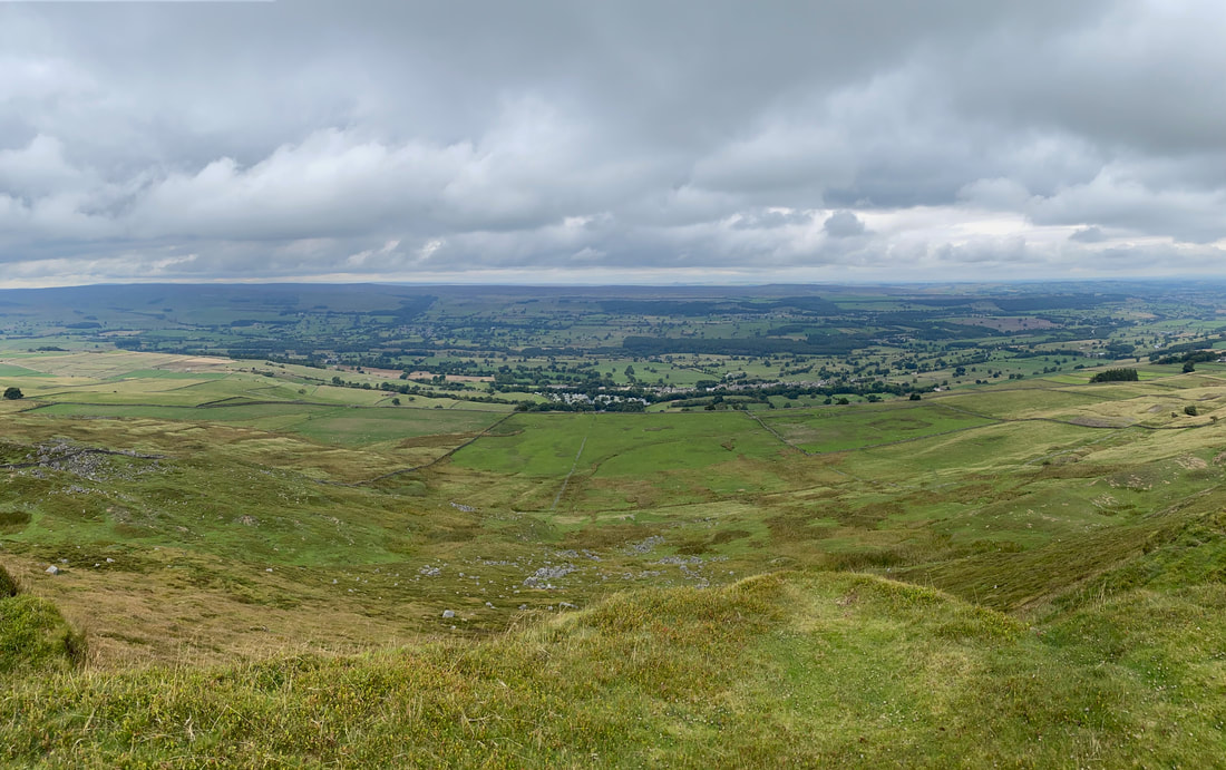
Looking over Penhill Park to West Witton
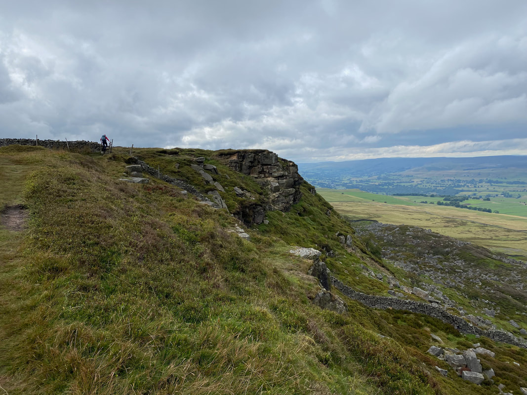
From Penhill Beacon we headed along the escarpment to Penhill Scar
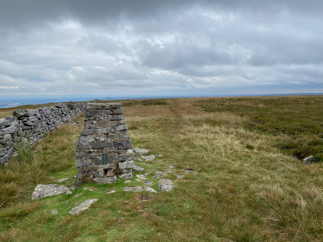
The Trig Point on Penhill Scar. The actual summit of Penhill is at Height of Hazely roughly a mile to the south west
As is tradition, Fudge had a good old pose on top of the Trig Point
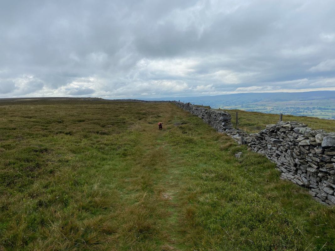
From the Trig Point we continued along the escarpment towards Black Scar
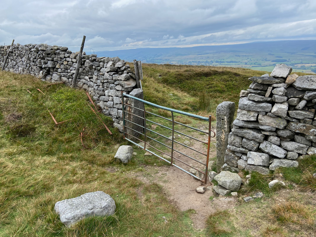
Having doubled back from Black Scar a gate gives access to a path that heads down beneath Penhill Crags. The path is not detailed on the OS Map however the gate giving access to it is at Grid Ref SE 04588 86668.
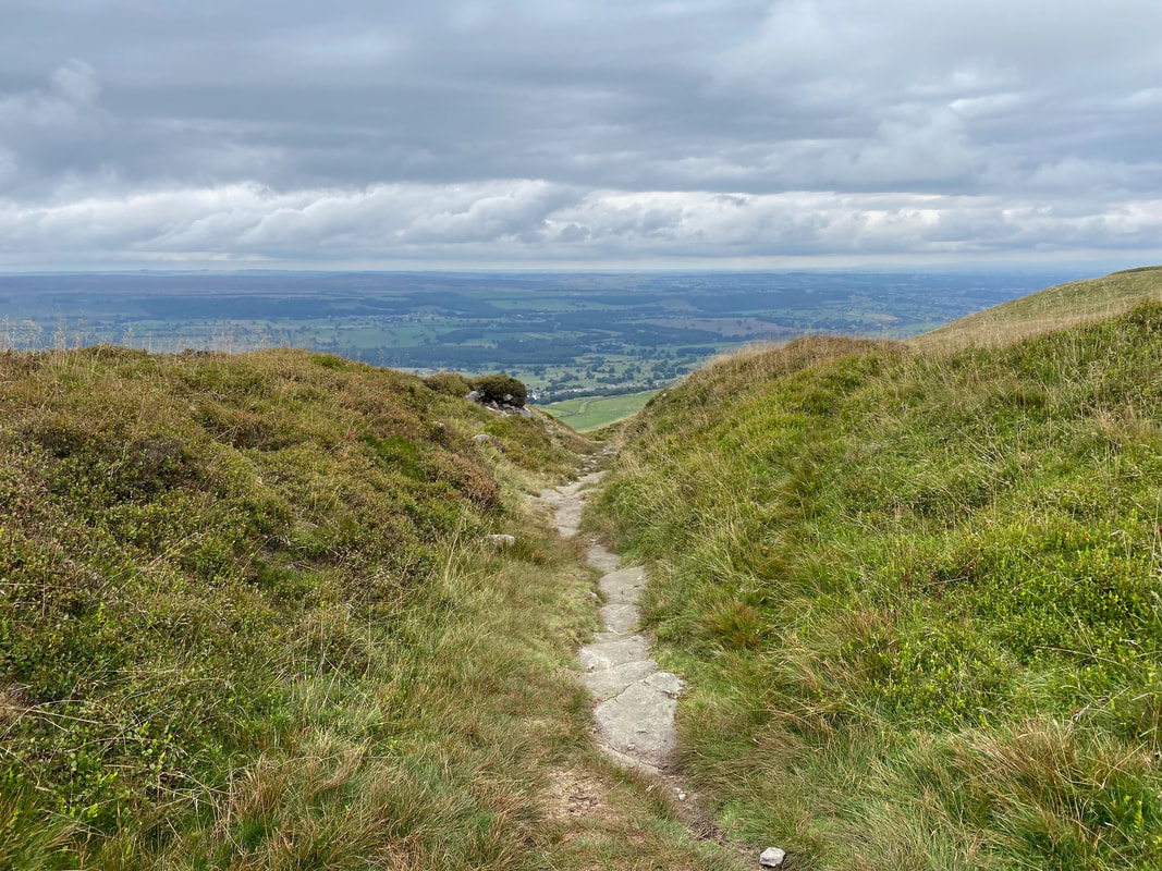
The path from the gate heads down between grassy hillocks
Approaching the remains of Penhill Quarry - our path would soon turn sharp left to head across to the wall on the left
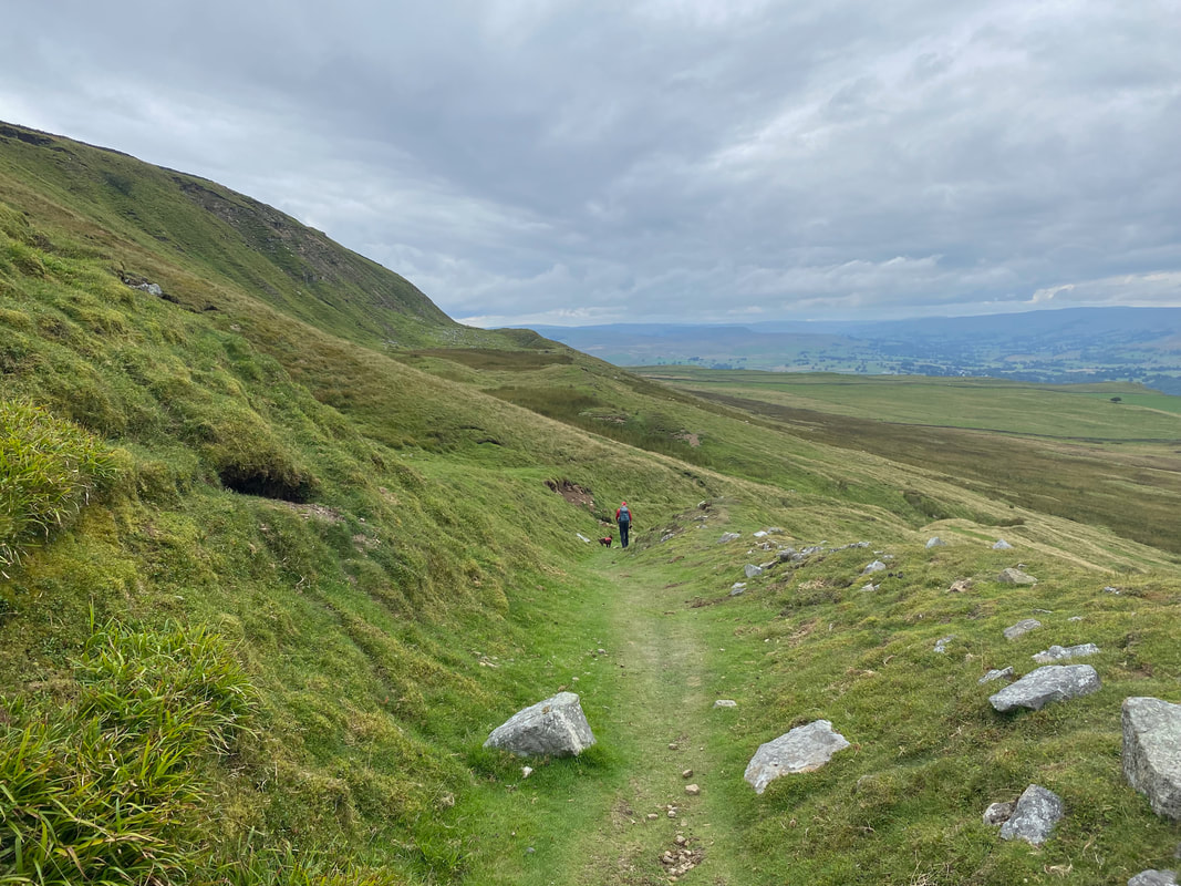
The path down to the wall is very clear on the ground despite it not being detailed on the OS Map
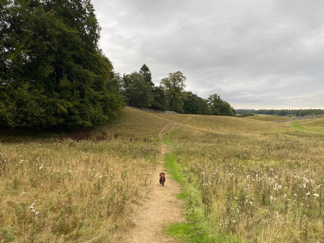
The route eventually reaches a farm track at Stony Gate leading on to High Lane. Fudge is in "sniff mode"...............
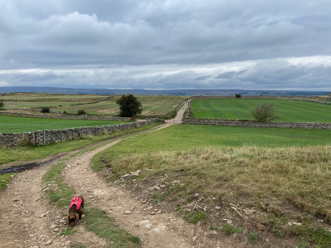
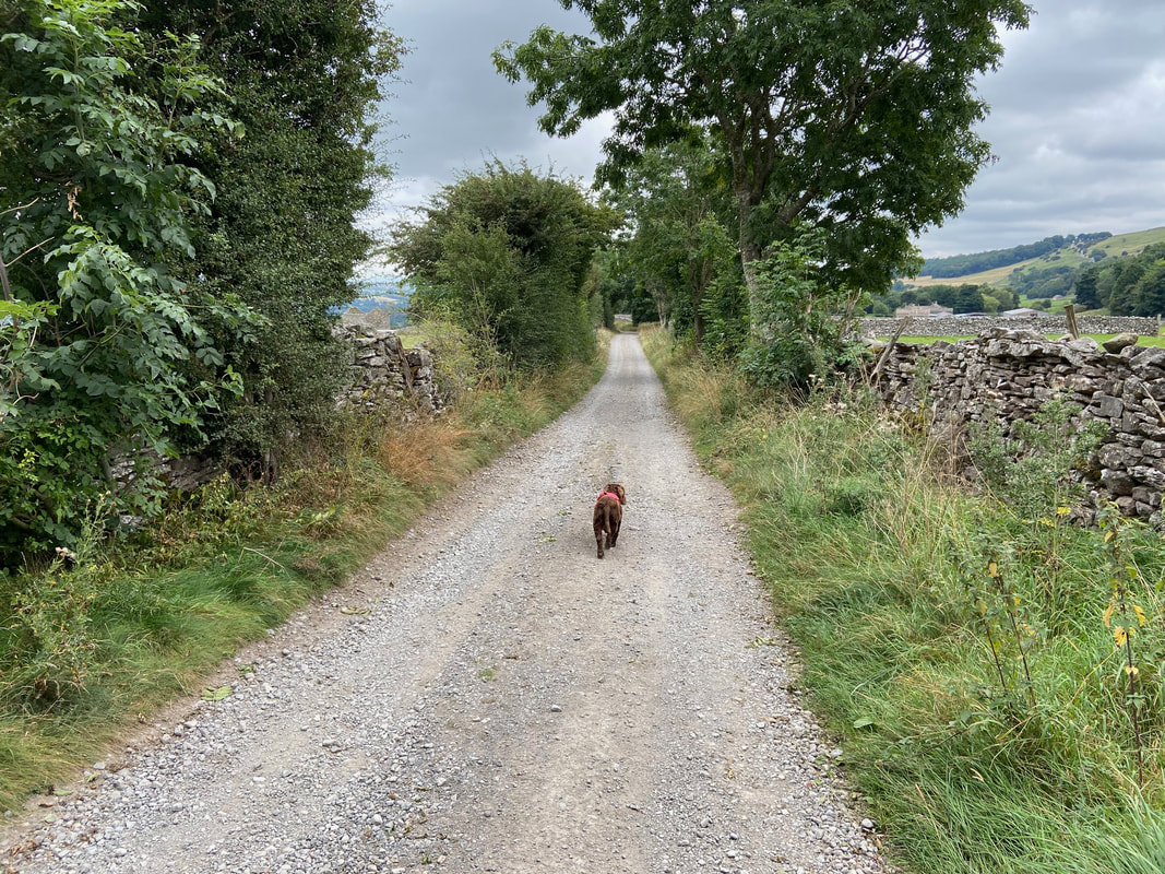
.......... and makes his way along High Lane in "trundle mode".
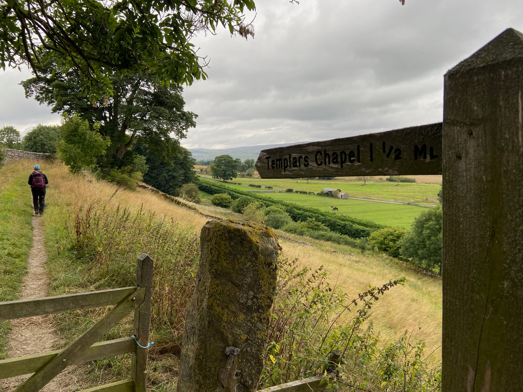
From Green Gate the path turns sharp left to head along Langthwaite Lane to Templars Chapel
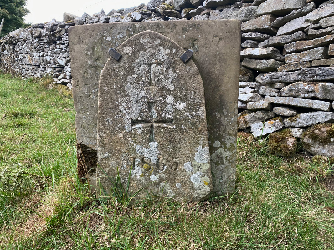
A limestone tablet by a stone wall dated 1865 marks the cemetery entrance for the Knights Templar Chapel
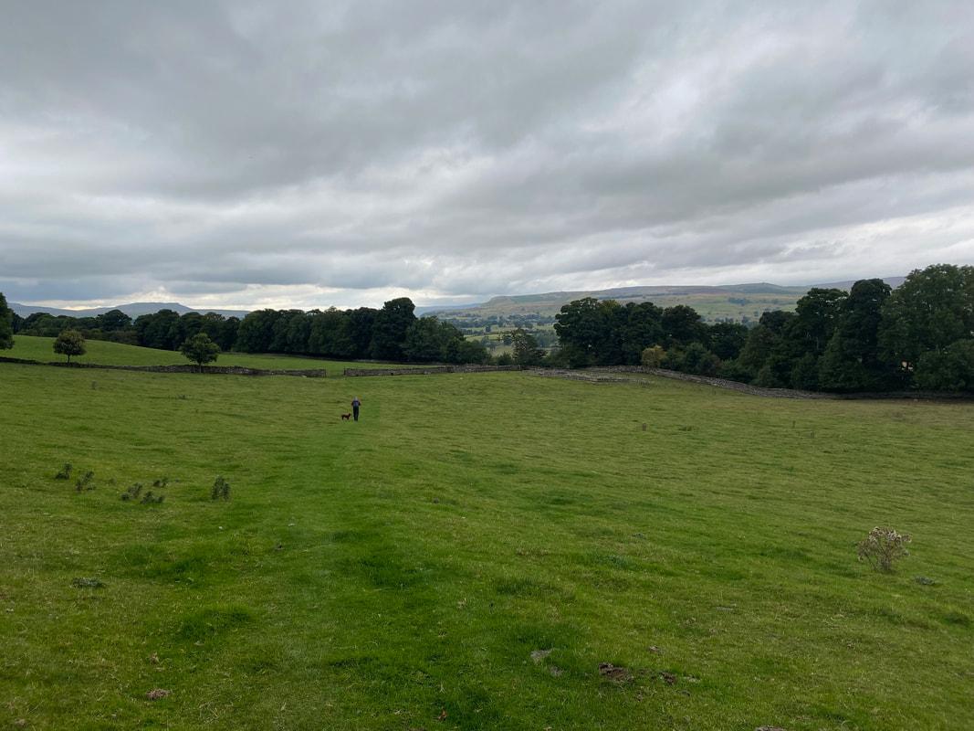
Heading across the field with the Knights Templar Chapel below right
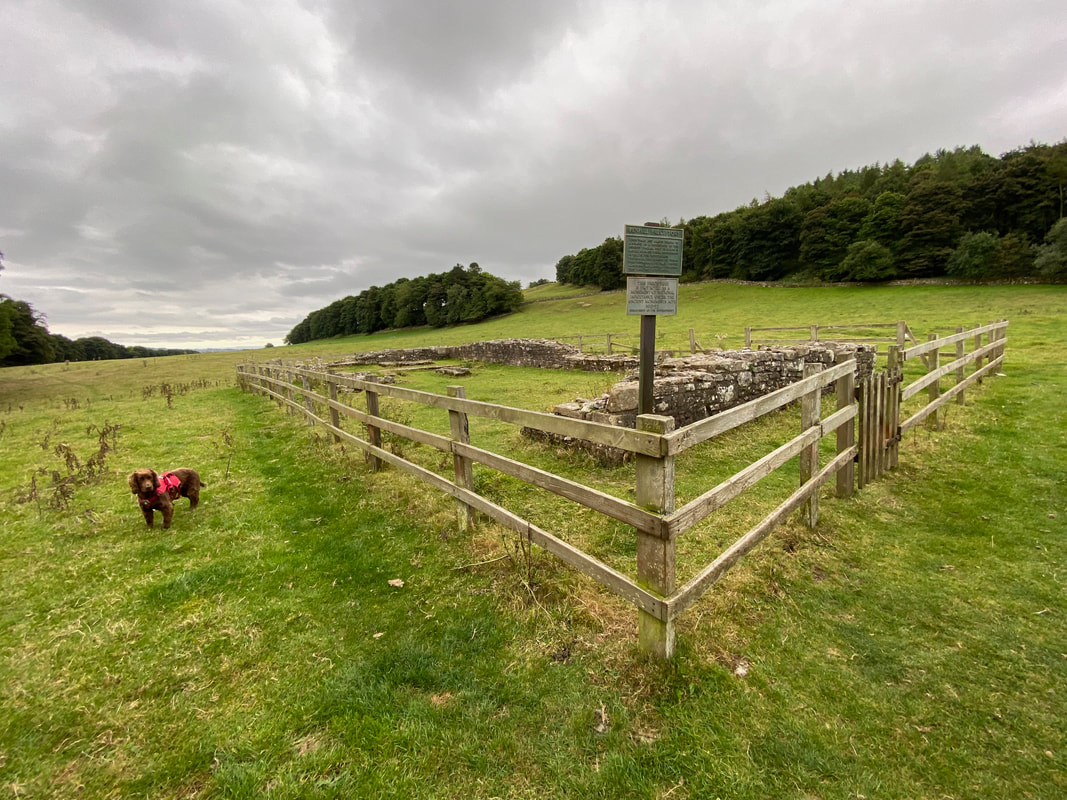
The Penhill Preceptory (also known as the Knights Templar Chapel) is at Grid Ref SE 03552 88778 and was uncovered in 1840.
The Order of the Poor Knights of the Temple of Solomon, better known as the Knights Templars or The Temple, was founded early in the twelfth century and introduced to Britain in 1146. Its purpose was to protect pilgrims travelling to and from Jerusalem. The order acquired land on Penhill to build a chapel and dedicated it to ‘God, the Virgin and St Catherine.’ St Catherine, the patron saint of linen weavers, was important to the Templars because their outer garments were made of white linen on which was sewn a blood red cross, their symbol of martyrdom. The order acquired immense wealth and political power and it was this which caused their downfall. Kings and Popes alike grew jealous of their influence, and they were subjected to much persecution. Pope Clement V abolished the order in 1312, Edward II having seized all the property of the English Templars in 1308. Many of the Templars were imprisoned and some were tortured and executed.
The Order of the Poor Knights of the Temple of Solomon, better known as the Knights Templars or The Temple, was founded early in the twelfth century and introduced to Britain in 1146. Its purpose was to protect pilgrims travelling to and from Jerusalem. The order acquired land on Penhill to build a chapel and dedicated it to ‘God, the Virgin and St Catherine.’ St Catherine, the patron saint of linen weavers, was important to the Templars because their outer garments were made of white linen on which was sewn a blood red cross, their symbol of martyrdom. The order acquired immense wealth and political power and it was this which caused their downfall. Kings and Popes alike grew jealous of their influence, and they were subjected to much persecution. Pope Clement V abolished the order in 1312, Edward II having seized all the property of the English Templars in 1308. Many of the Templars were imprisoned and some were tortured and executed.
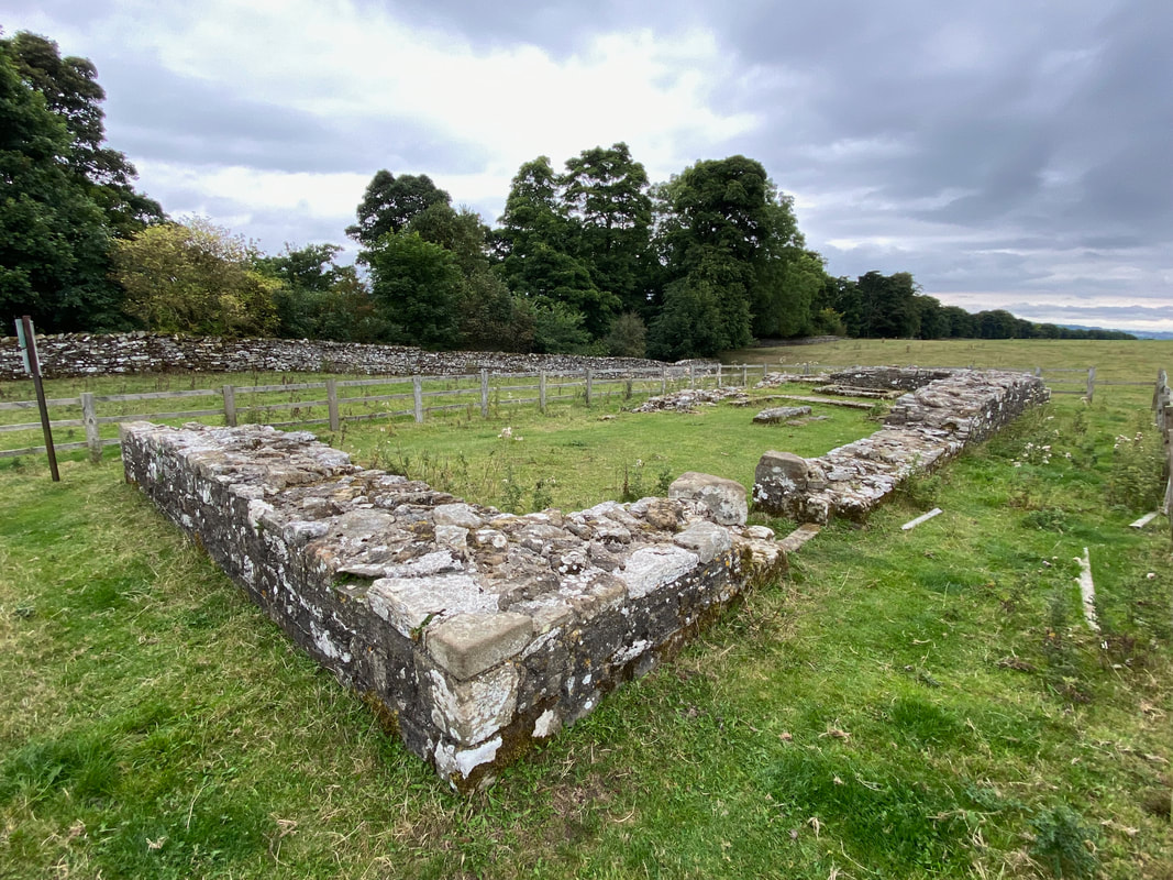
Another view of the Preceptory - at the far end are the remains of the base of the altar and three stone coffins.
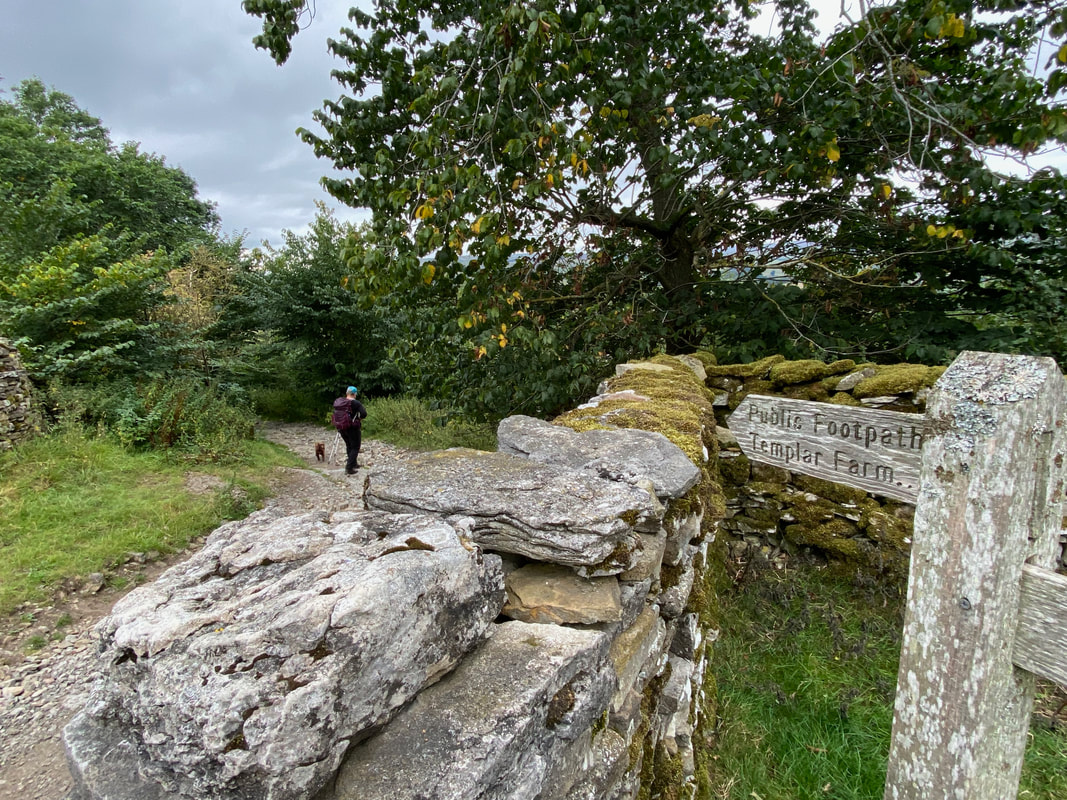
Leaving the preceptory, the route drops down through a small wood to Temple Farm and the A684
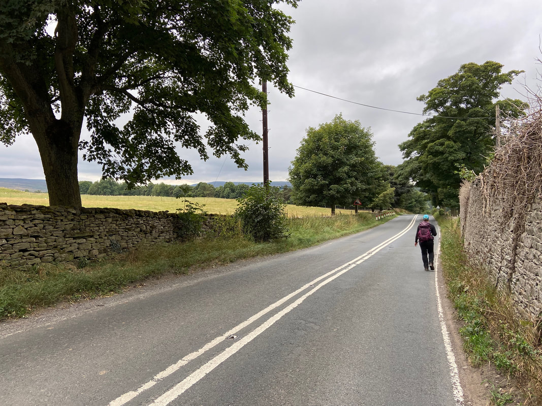
Heading along the A684 to Stony Stoop Lane - thankfully this unavoidable transit along the road is only for a 1/4 of a mile
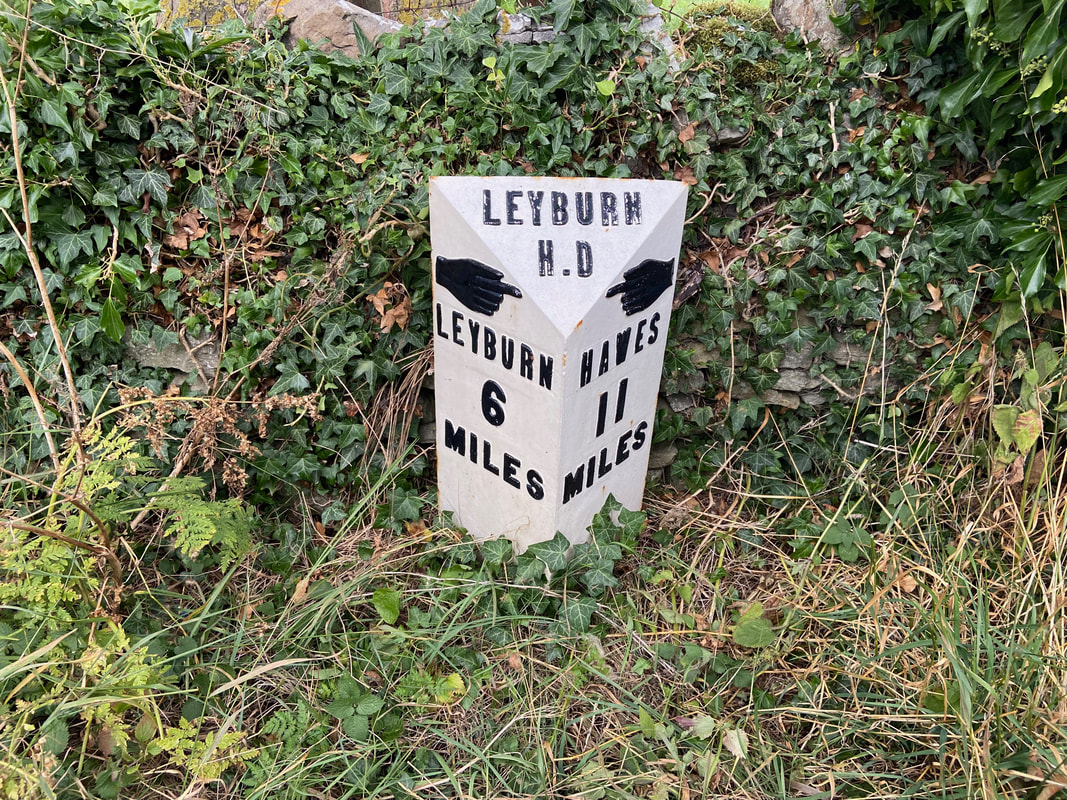
Love these old signs - hopefully they will remain in situ
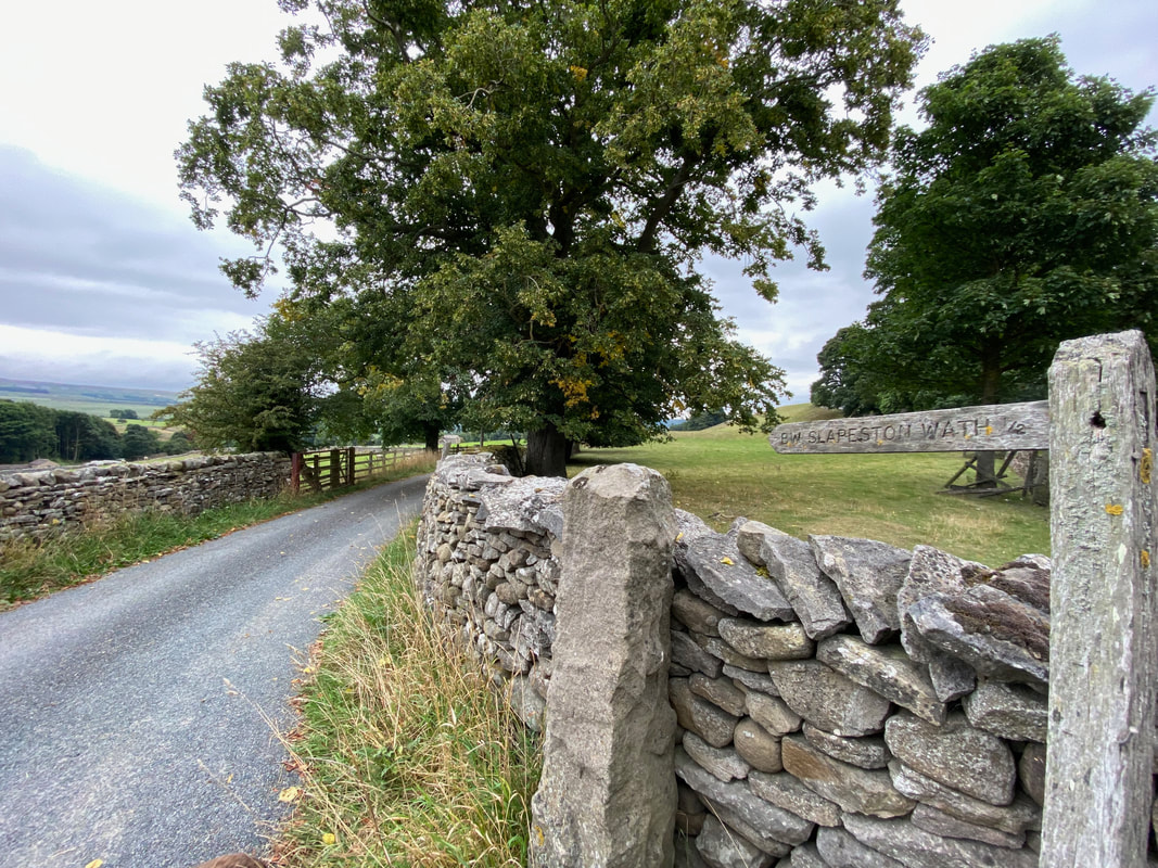
With our lives still intact after walking along the busy A684 we headed down Stony Stoop Lane
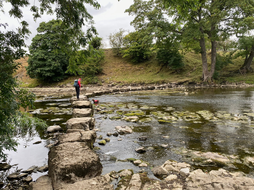
The stepping stones at Slapeston Wath. This is an ancient crossing point across the River Ure, the name 'wath' meaning a ford.
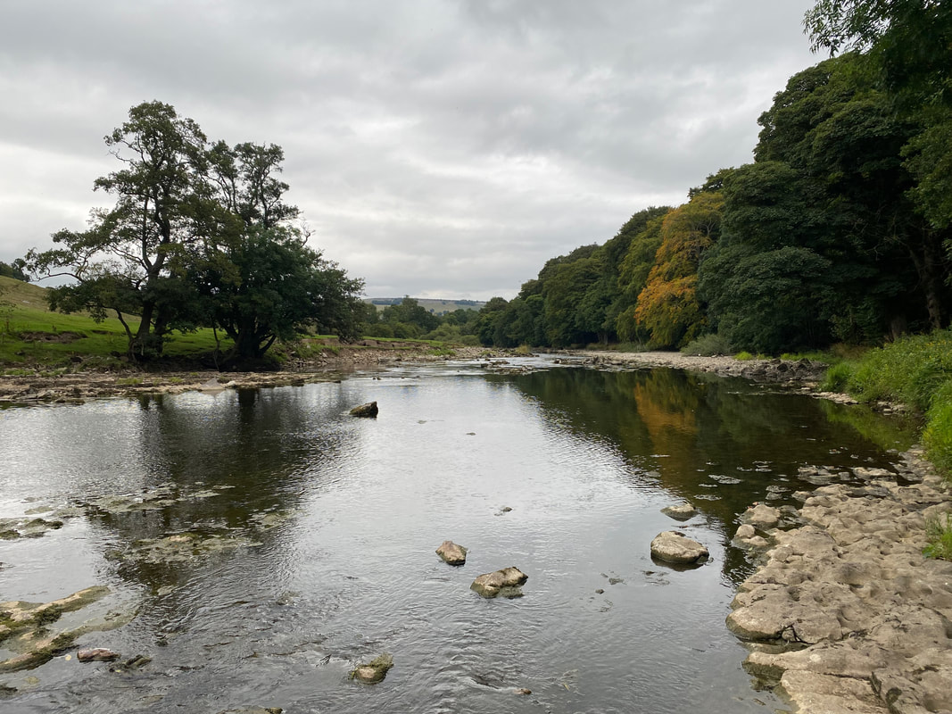
Looking east along the River Ure from Slapeston Wath
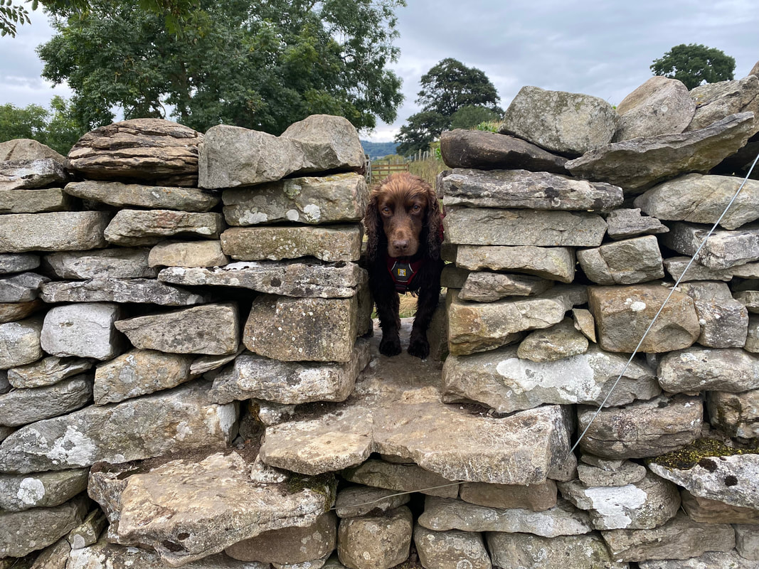
The "you two are going to struggle getting through here" look from Fudge
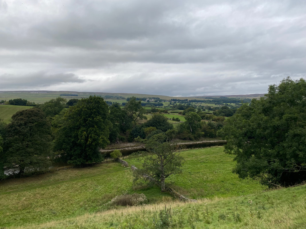
Above the River Ure now as we head to Redmire Force
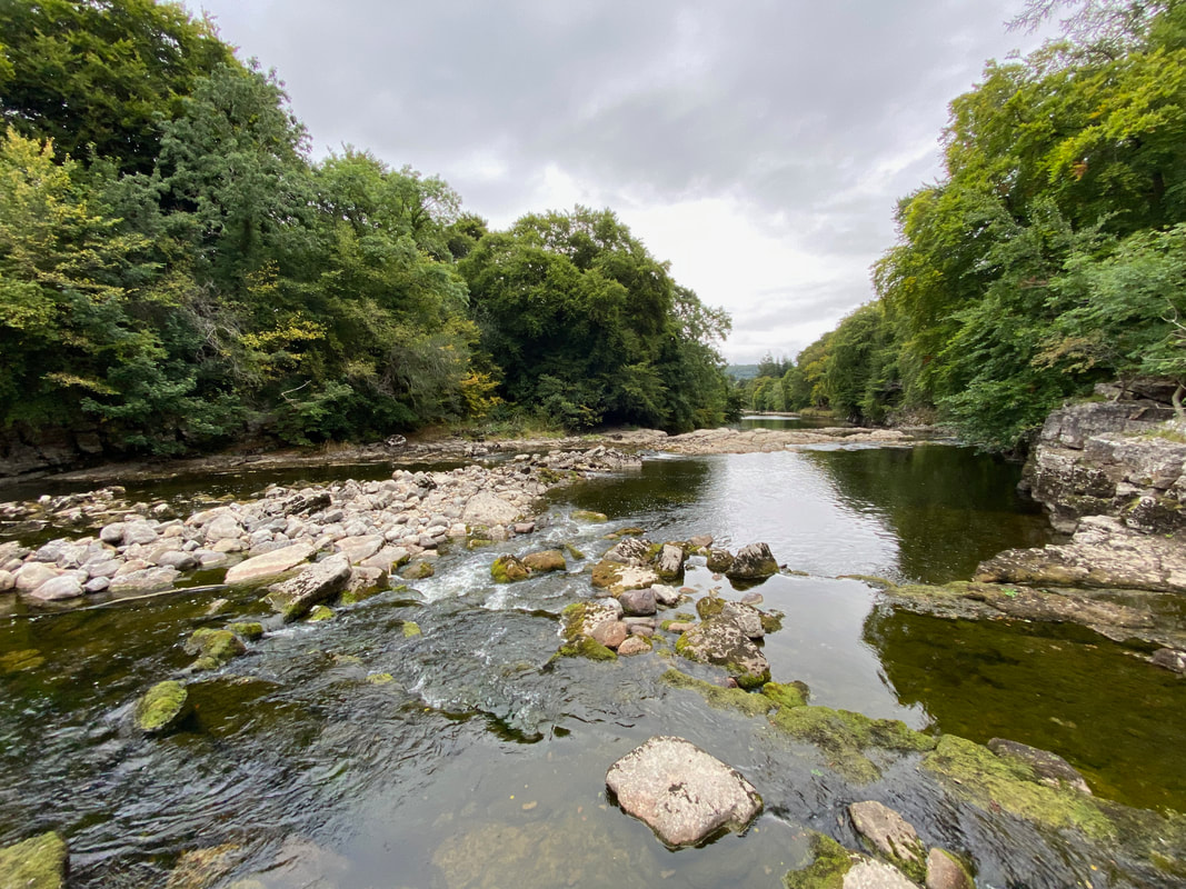
Redmire Force. The force is a multi-drop waterfall a couple of miles downstream of the popular Aysgarth Falls. In many ways it is a more modest version of Aysgarth Falls but with the advantage of being much quieter in terms of visitor numbers.
Thinking about his tea no doubt as we head over farmland towards West Witton
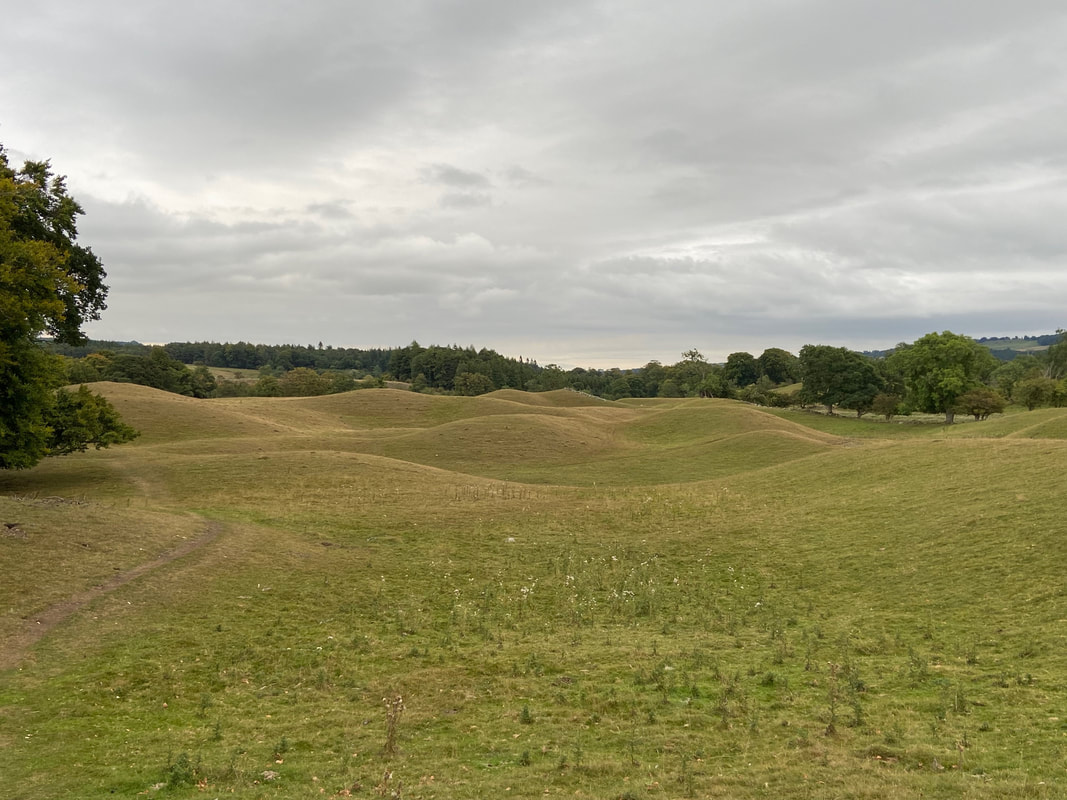
Drumlins also known as Moraines as we near the turn off for Wanless Park. These geological features are hills of sediment that have been streamlined by glacier flow - literally material left behind by a moving glacier.
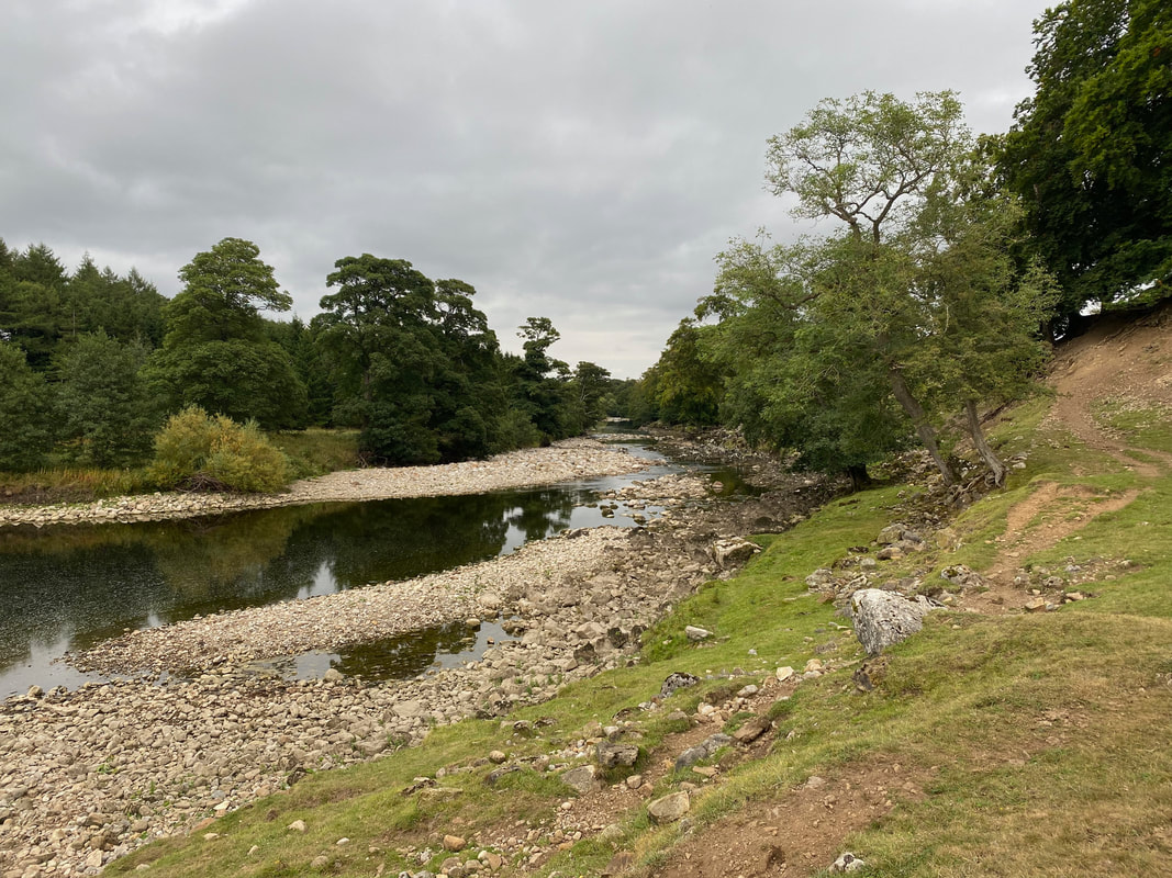
One last look at the lovely River Ure before we head away up the slope back to West Witton
Wanless Park and a mile to go
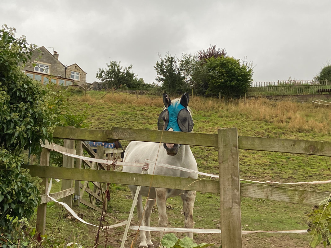
Bit weird seeing this at first but easy to see why Dobbin is wearing his natty facewear
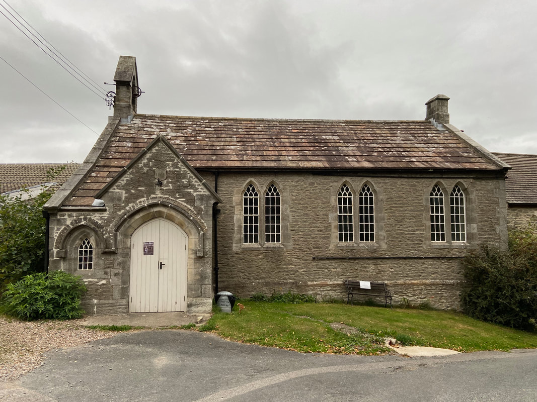
At the top of Flats Lane we pass West Witton Village Hall
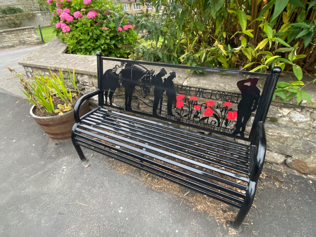
Lovely to see these reminders of the people who made the ultimate sacrifice
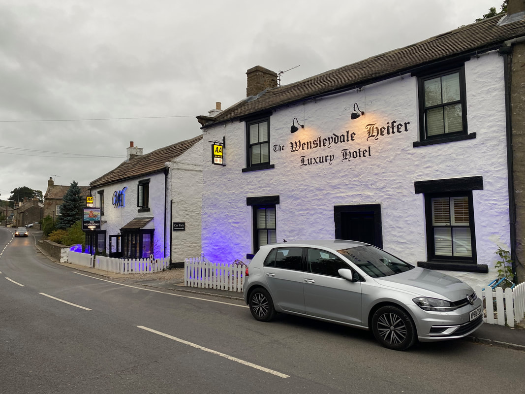
Bit posh for us therefore we headed along to the Fox & Hounds for a debrief
