Arncliffe & Littondale - Wednesday 28 September 2022
Route
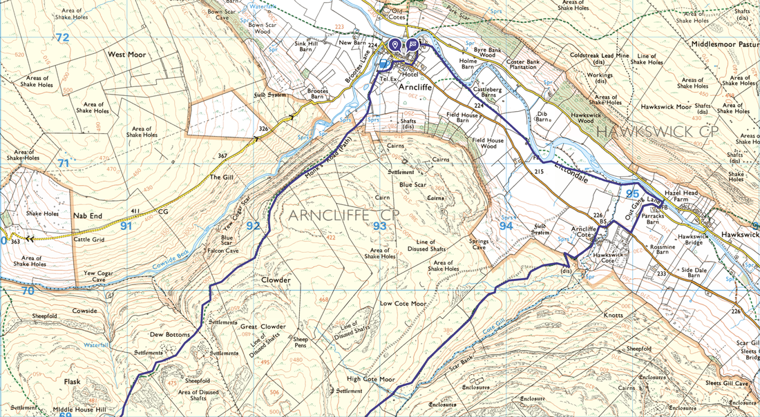
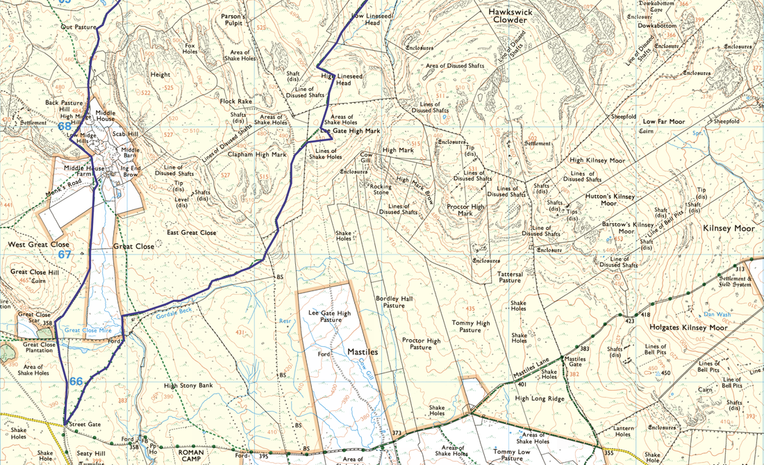
Arncliffe - Monk's Road - Dew Bottoms - Out Pasture - Middle House - Middle House Farm - Street Gate - Lee Gate High Mark - High Lineseed Head - High Cote Moor - Arncliffe Cote - Out Gang Lane - Littondale - Castelberg Barns - Arncliffe
Parking
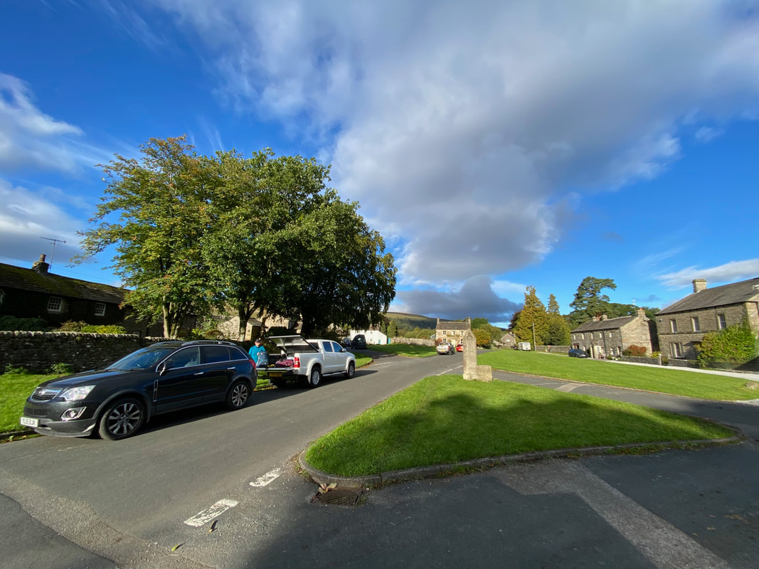
The village green in Arncliffe. Please park sensibly and do not block any driveways and leave room for emergency vehicles and farm traffic. The Grid Reference is SD 93174 71810 and the nearest postcode is BD23 5QD.
Mileage
12 miles
Terrain
Well marked mountain paths and farm tracks with some minor road walking between Arncliffe Cote & Out Gang Lane.
Weather
Mild and sunny turning overcast in the afternoon.
Time Taken
5hrs 50mins
Total Ascent
1414ft (431m)
Map
OL2 Yorkshire Dales Southern & Western Areas
Walkers
Dave, Angie & Fudge
|
GPX File
|
| ||
If the above GPX file fails to download or presents itself as an XML file once downloaded then please feel free to contact me and I will send you the GPX file via e-mail.
Route Map
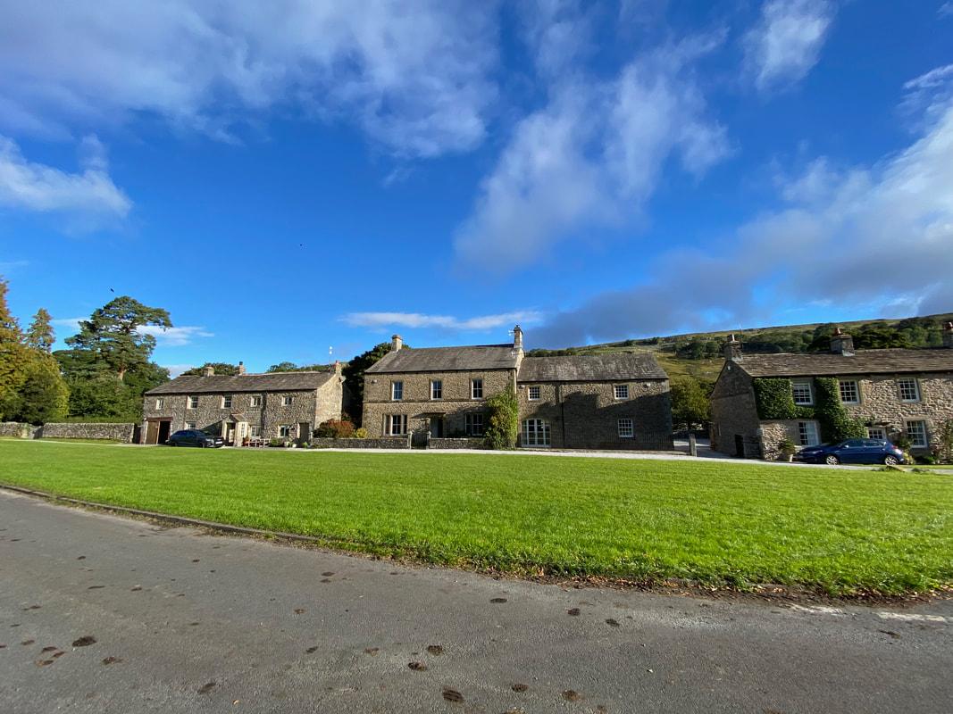
The village of Arncliffe and its village green
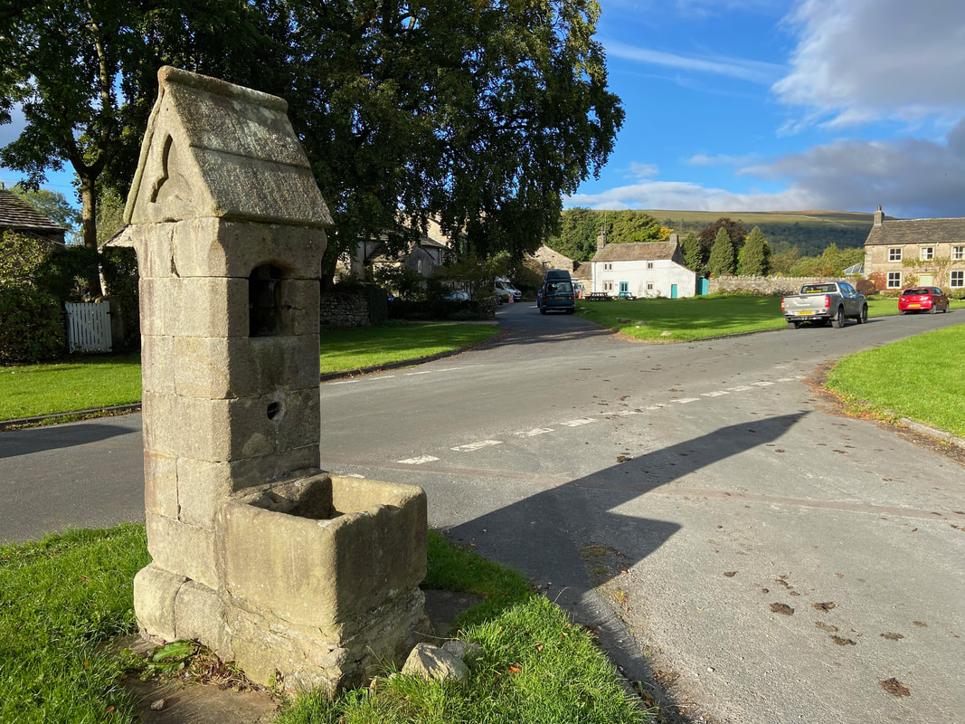
The impressive stone water pump on Arncliffe village green which dates back to mid-Victorian times. Our route today would head up the lane to the left in the direction of the village pub.
Arncliffe is considered by many to be the 'metropolis' of Littondale and most of the houses are arranged around its long village green. The 19th century author Charles Kingsley was inspired to write ‘The Water Babies’ whilst on a visit to the village.
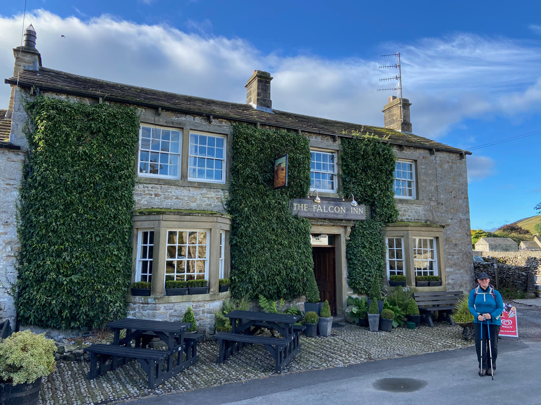
The beautiful Falcon Inn at Arncliffe
The television series Emmerdale was first filmed in and around Littondale and was known as Beckindale in the original series. The Falcon Inn doubled as the village pub "The Woolpack". The pub is an extremely popular watering hole and not just because of its original and unfussy interior. It is one of the few remaining pubs to draw beer straight from the cask into a jug before being poured into glasses, the way it was done for centuries until handpumps were invented.
The Falcon Inn is one of the pubs located on a walk called "The Buckden 4 Corners". On all 4 corners of the walk there is a pub and our account of the day can be found here
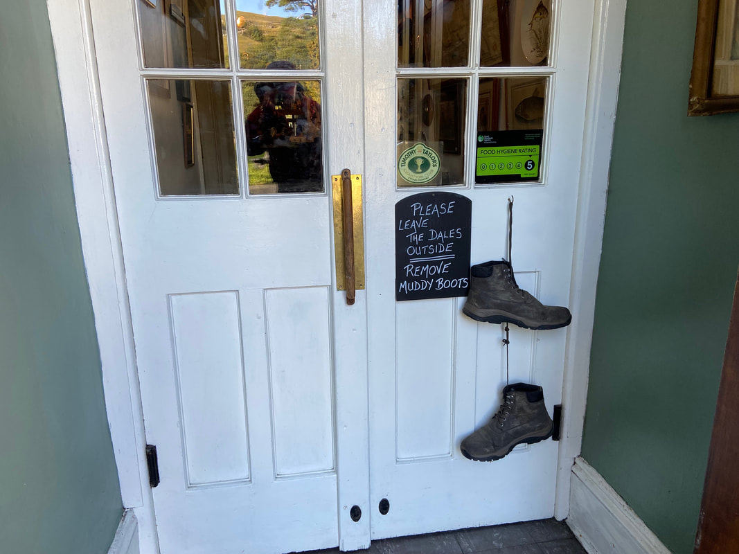
Clearly The Falcon likes to keep its interior carpet free of the detritus usually found on the soles of walker's boots
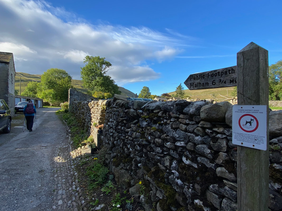
Just past The Falcon a sign on the left points the way up a quiet lane towards Malham
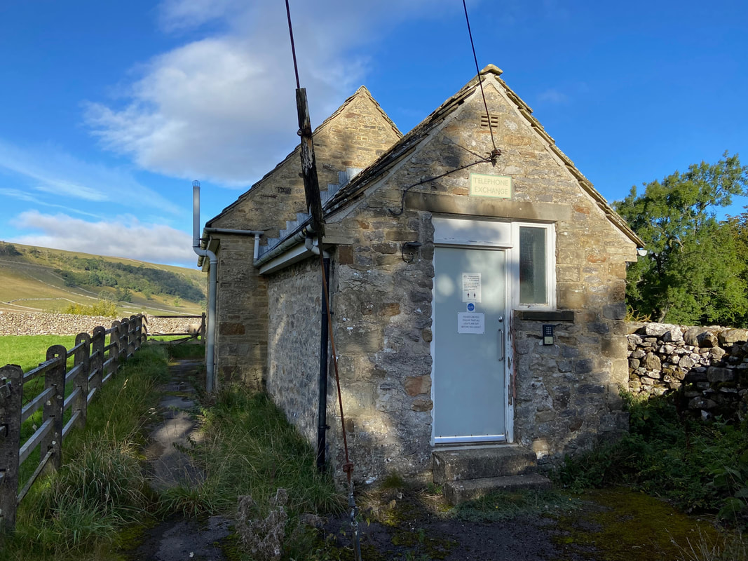
Arncliffe Telephone Exchange - now upgraded for Broadband don't you know!
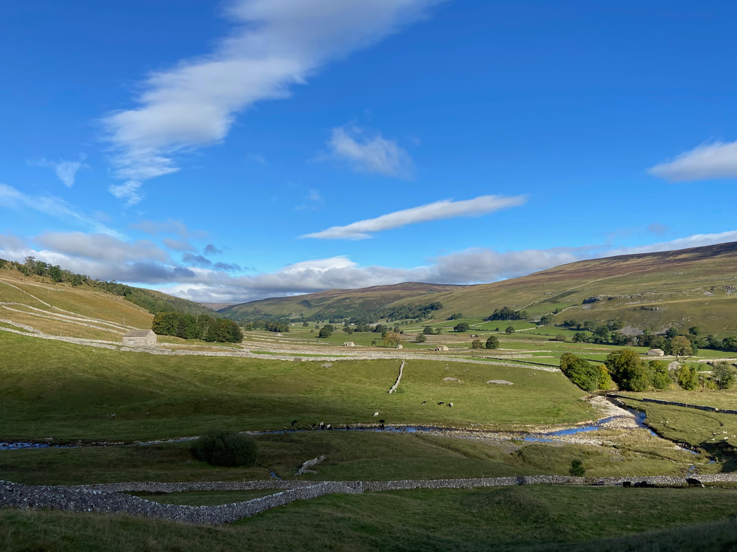
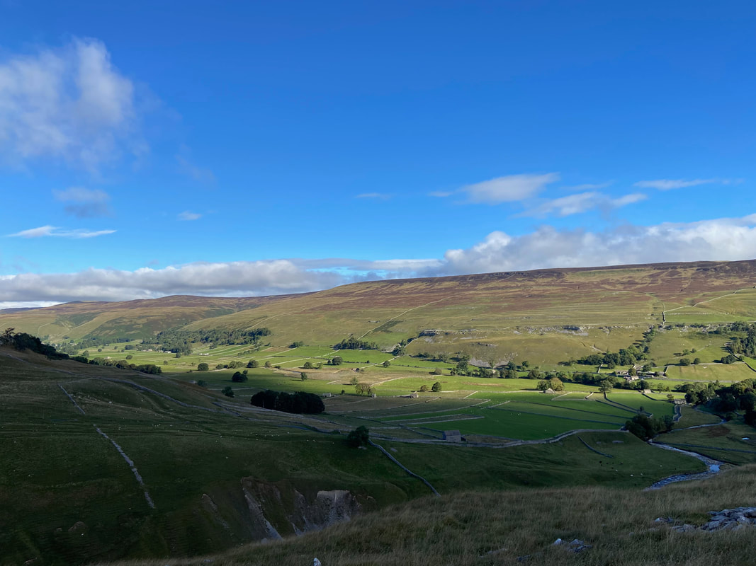
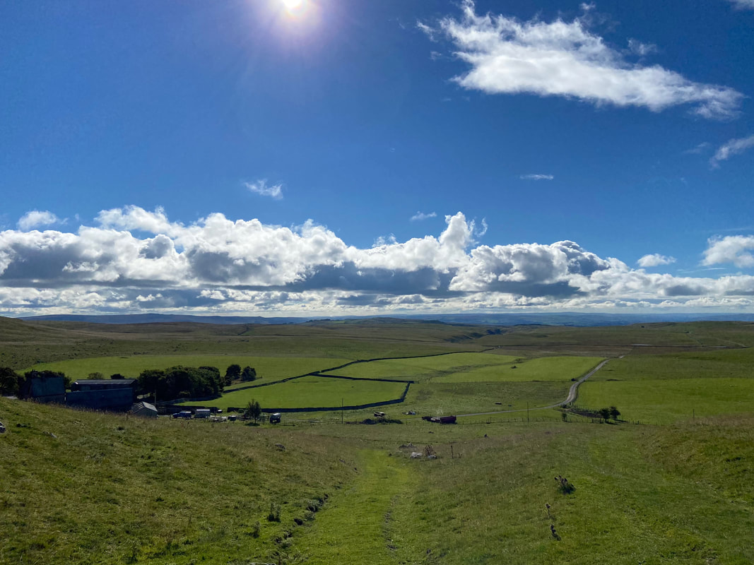
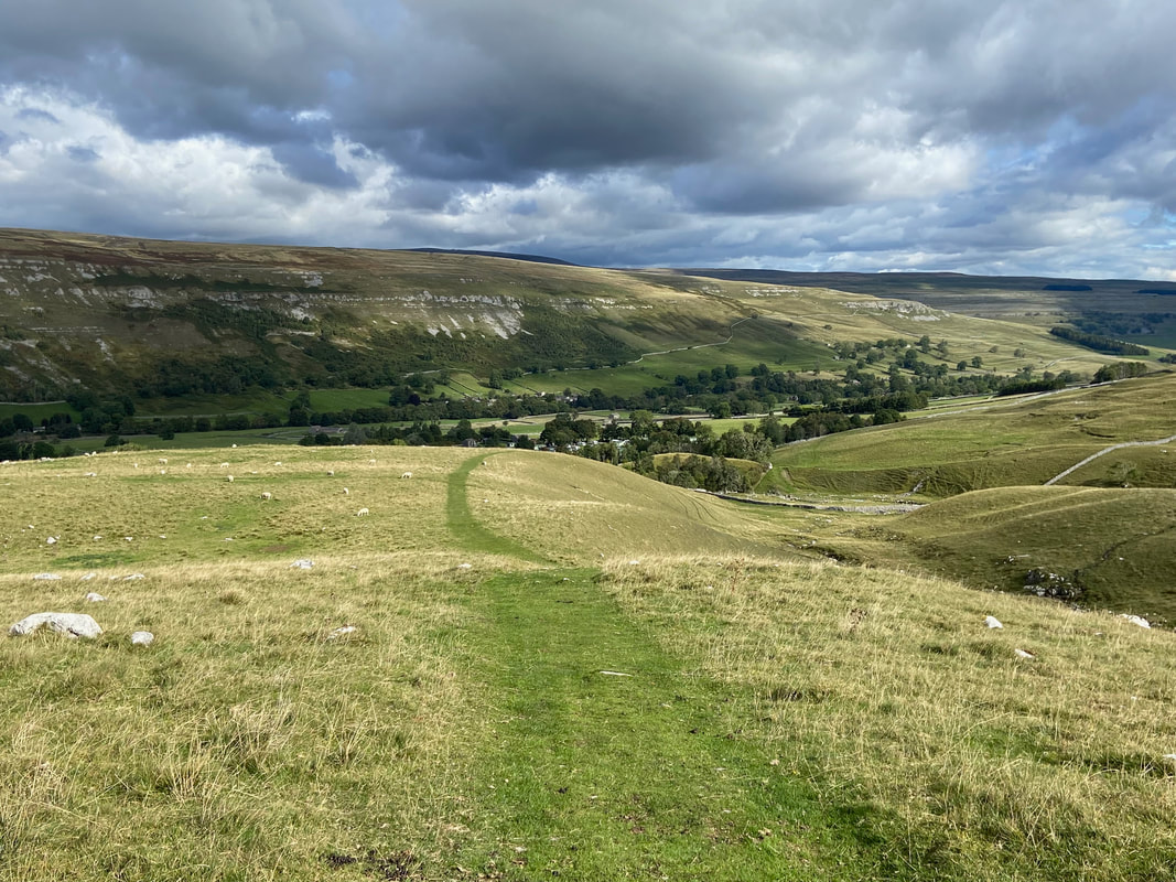
Littondale from our outward path with Cowside Beck below
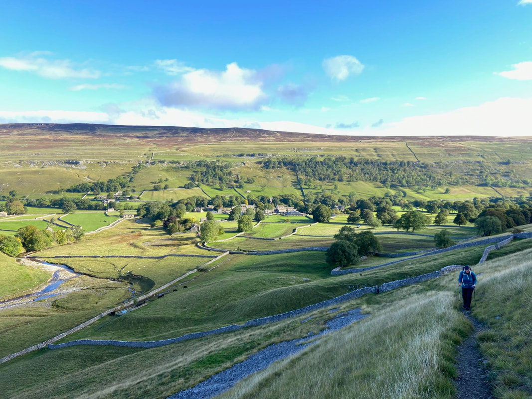
Looking back to Arncliffe as we start to climb on the Monk's Road path
The Monk’s Road from Arncliffe to Malham Tarn, so named because it was established by the lay brothers of nearby Fountains Abbey in the days long ago when this whole area of the countryside was grazed by the Abbey’s vast flocks of sheep. In the centre is Yew Cogar Scar with The Gill beyond.
Out Moor & Old Cote Moor from the Monk's Road
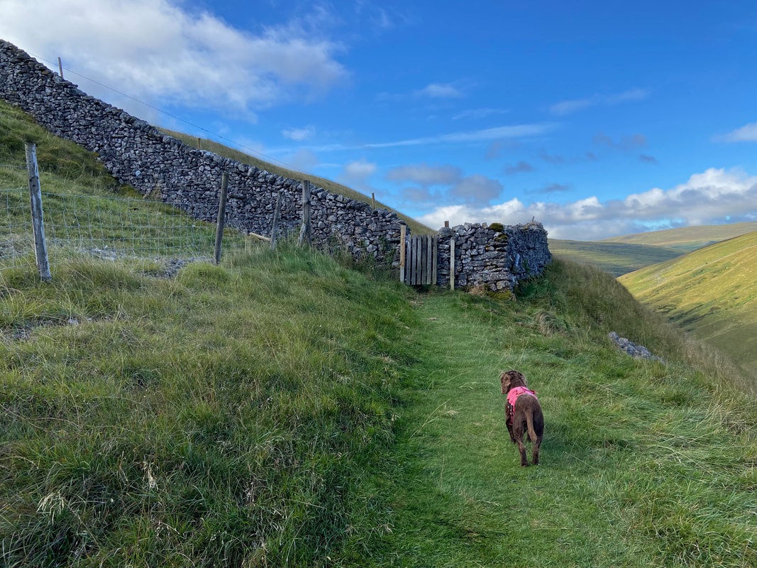
Fudge waits patiently for me to open the hand gate. He's a clever boy but these are a bit difficult for him to master.
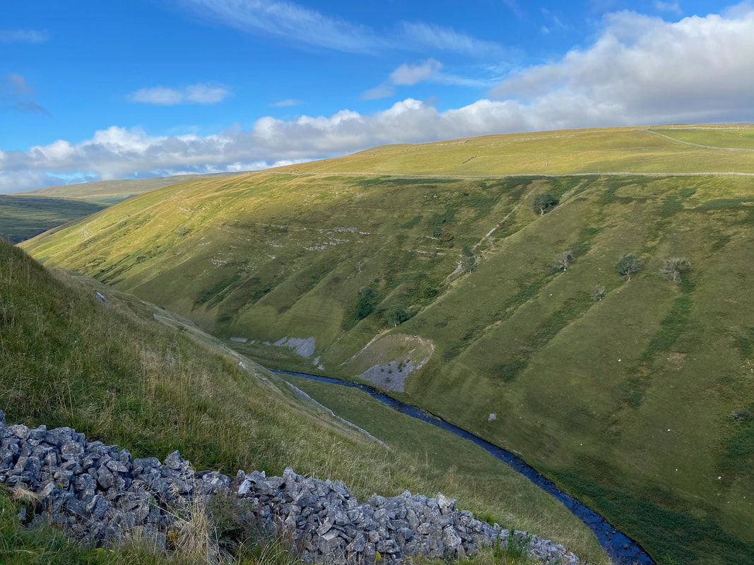
Cowside Beck below Nab End
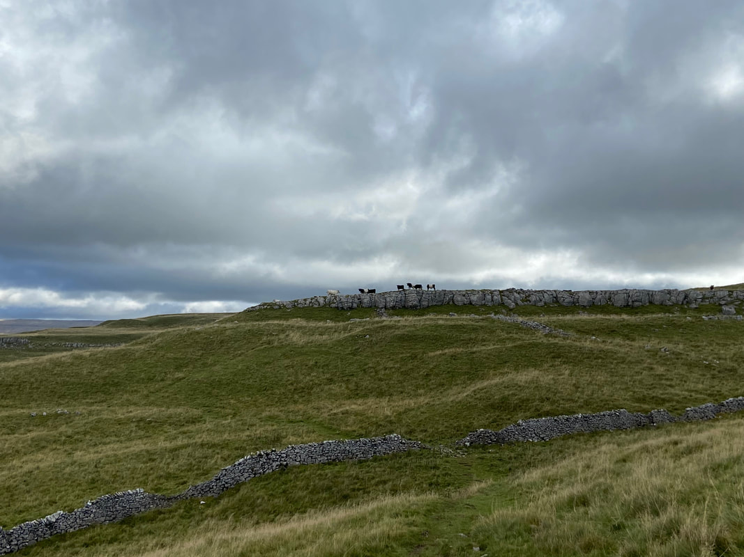
Approaching Height as the lookout sentries observe our progress
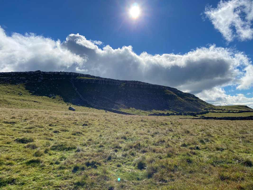
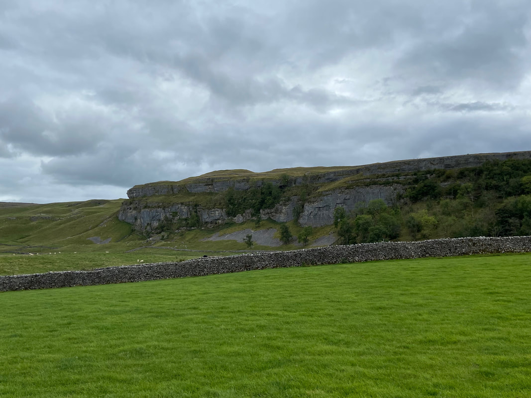
The limestone escarpment of Height
Looking back to Height from the approach to Middle House
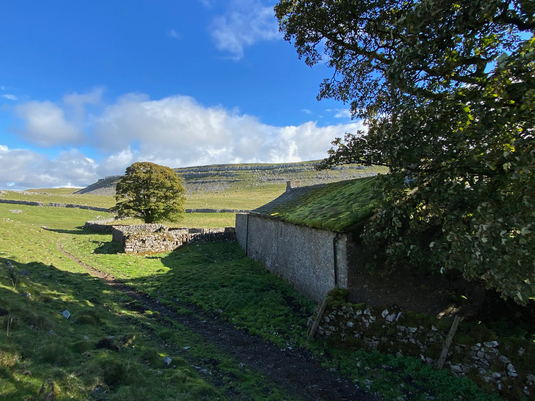
The deserted Middle House
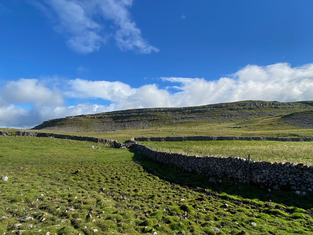
The approach to Middle House Farm with Great Close Hill beyond
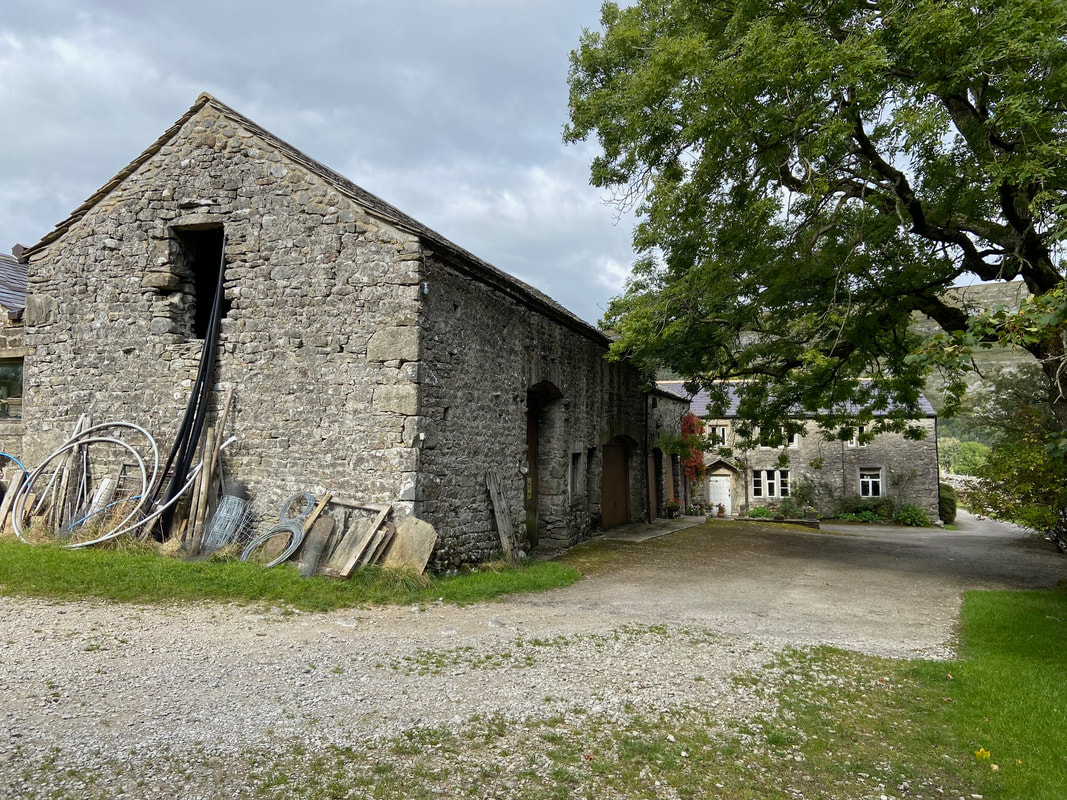
Middle House Farm
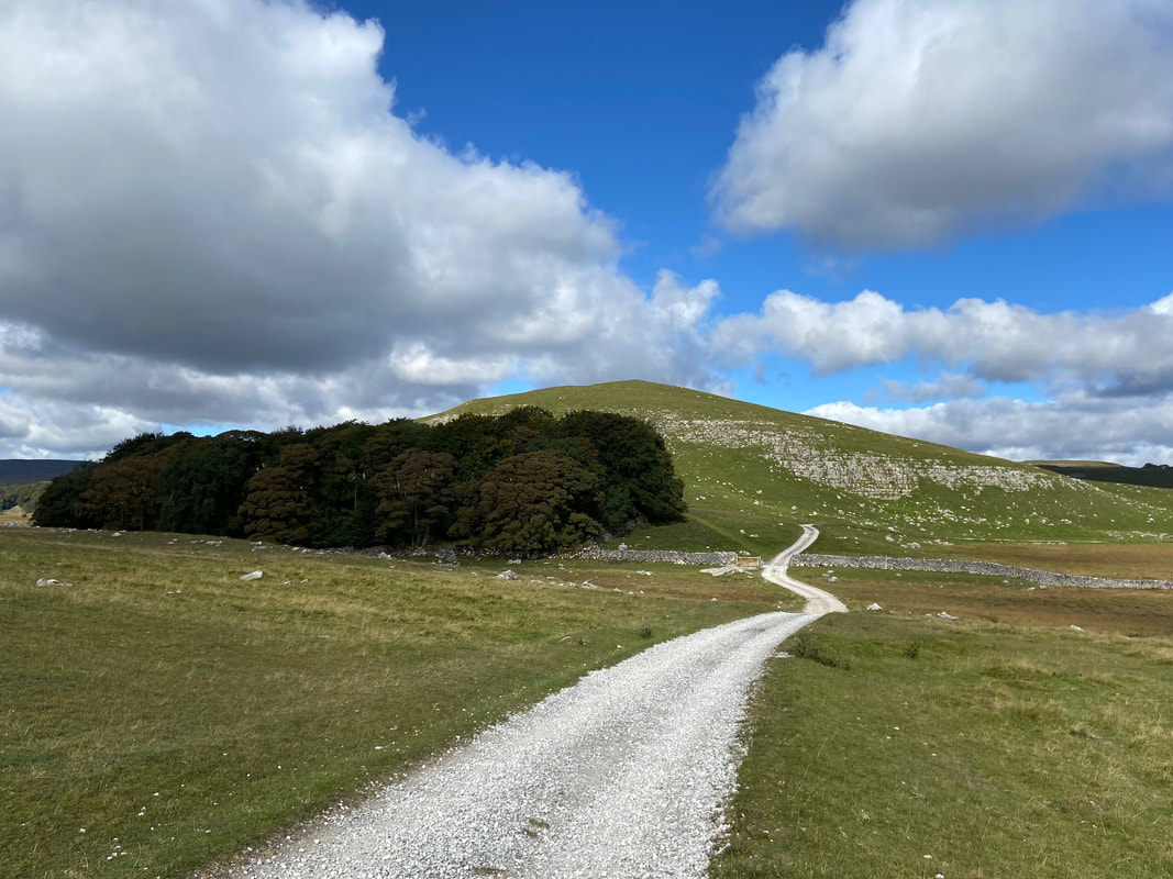
At Middle House Farm an access road leads all the way to Street Gate
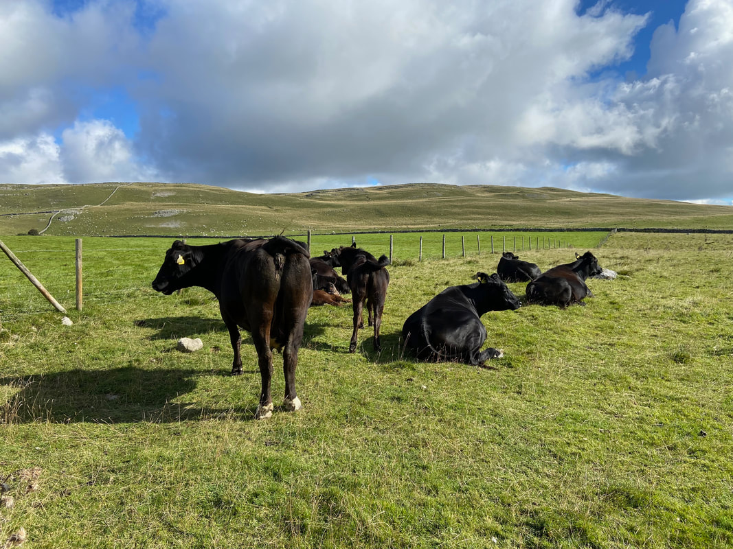
The Middle House Farm locals took absolutely no notice as we passed by their field
Fudge arsing about as we stop for lunch below Great Close Hill (Click Play to view)
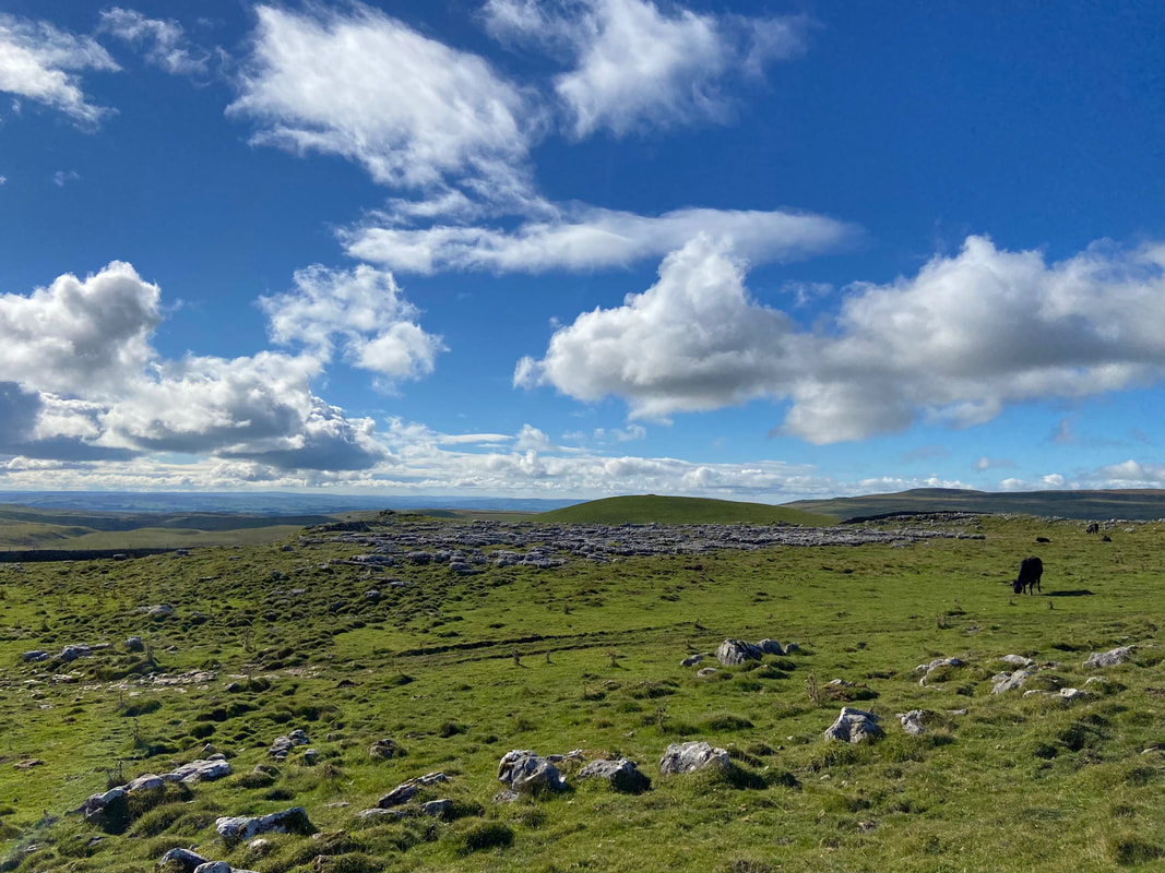
Great Close Hill
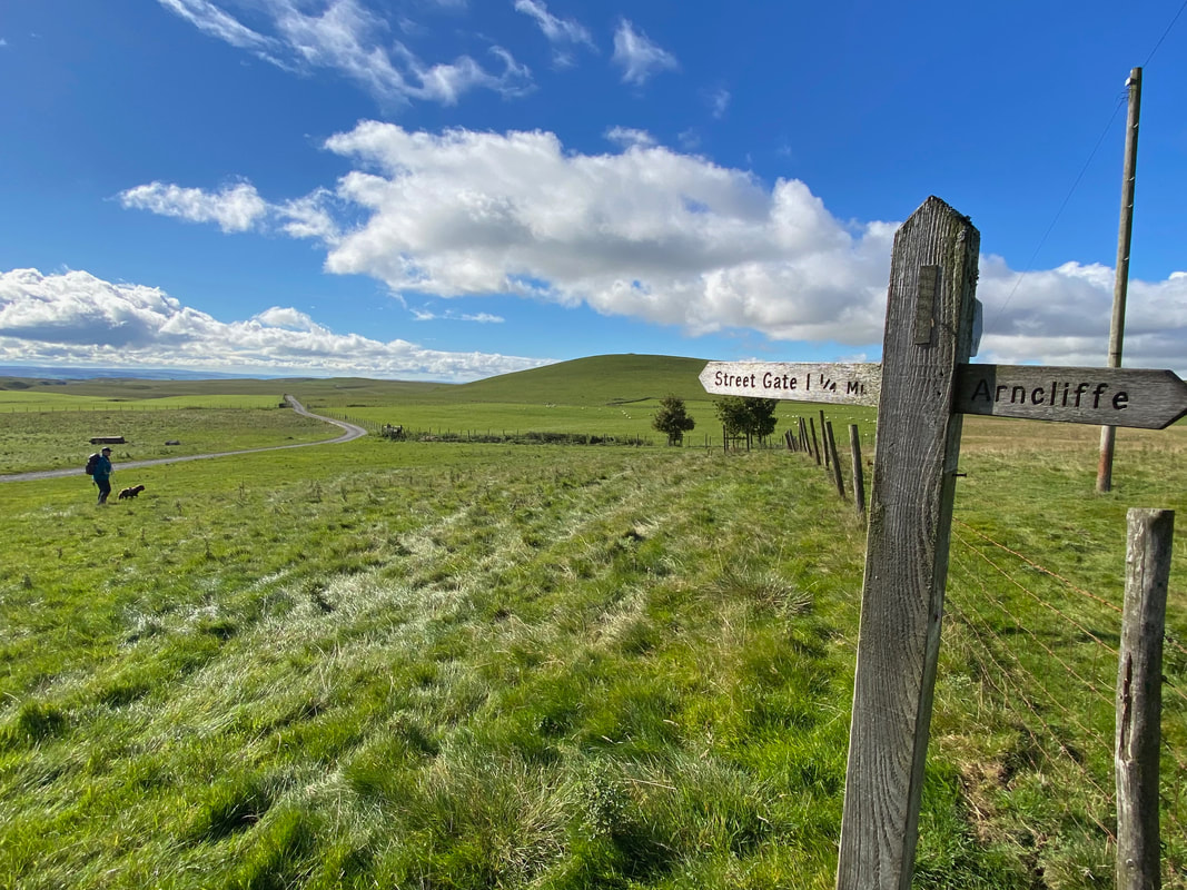
Street Gate
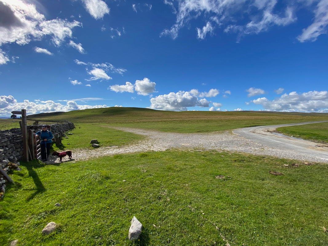
At Street Gate we would be heading to the left through the gate. Once through the gate there are two routes to choose from - heading left is our route back to Arncliffe. The other route is Mastiles Lane which leads back to Kilnsey - the lane was a former marching route in Roman Times and was also used by the Fountains Abbey Monks. The path heading straight on leads to Malham & Gordale Scar whilst the road to the right heads to Water Sinks Car Park & Malham Tarn.
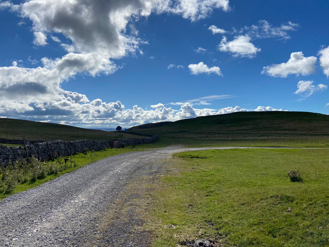
And off we go on the return journey to Arncliffe via High Cote Moor
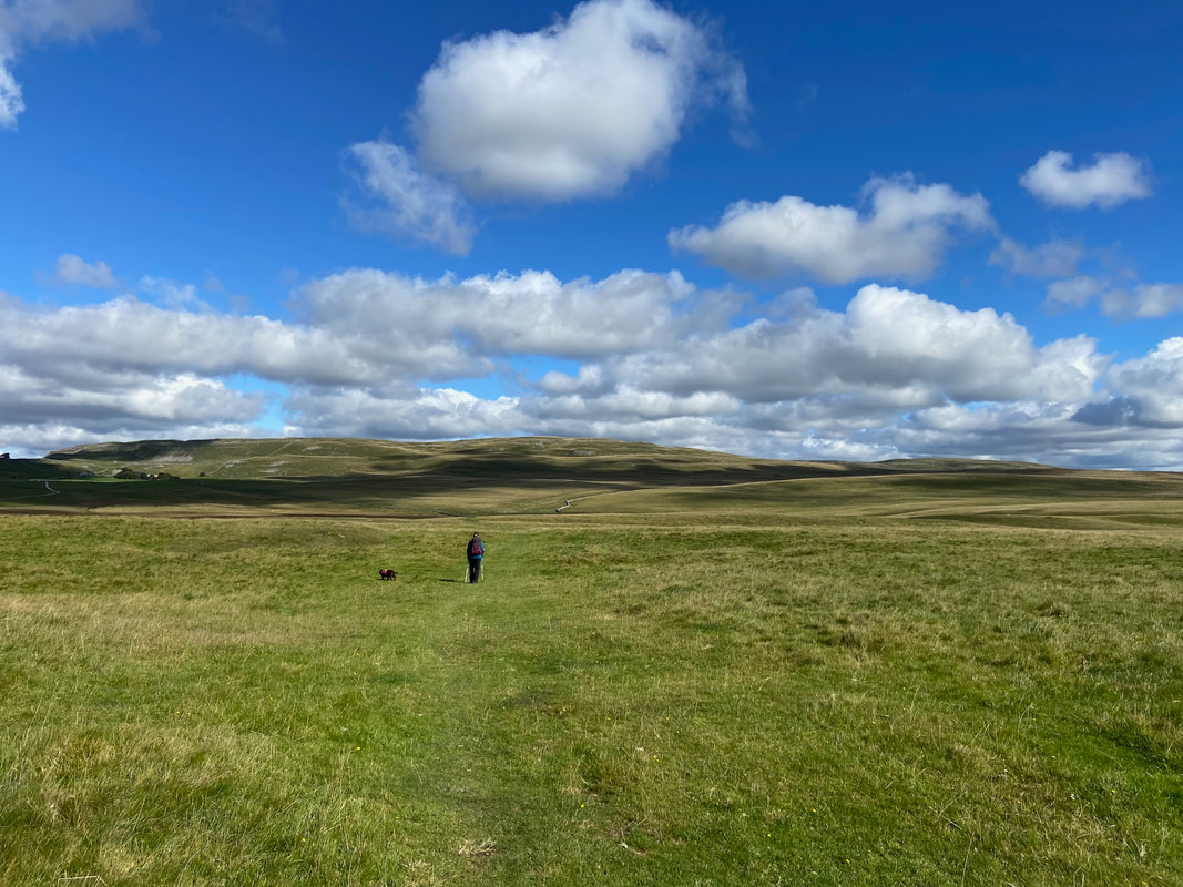
This was a really lovely part of the walk as we left Street Gate - perfect terrain for Fudge
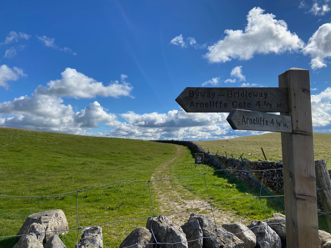
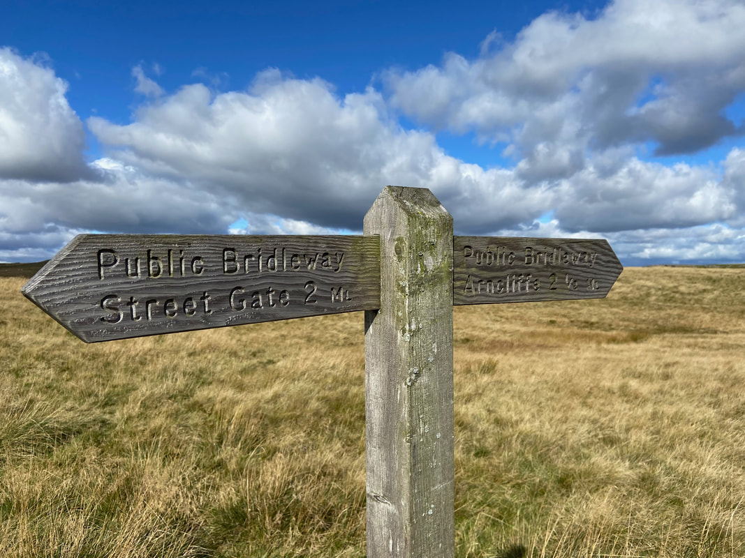
Signpost near Lee Gate High Mark
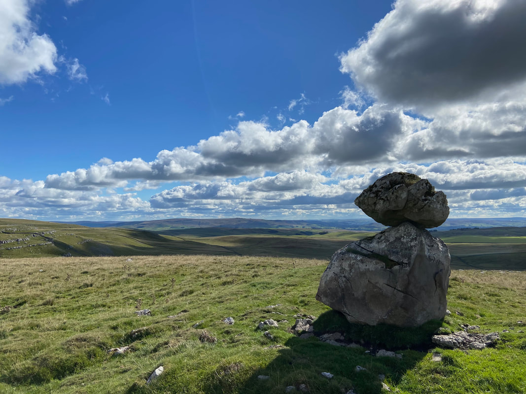
A couple of hundred yards off path at Lee Gate High Mark is this erratic stone with another one delicately balanced on top of it.
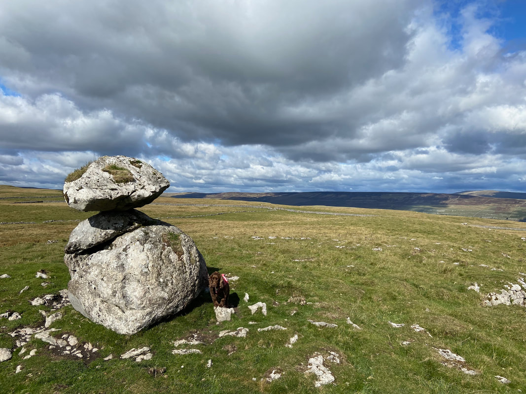
The stone from the other side
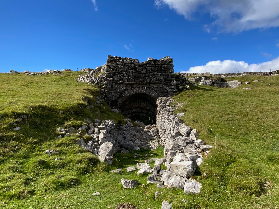
The route passes the remains of an old lime kiln on High Cote Moor
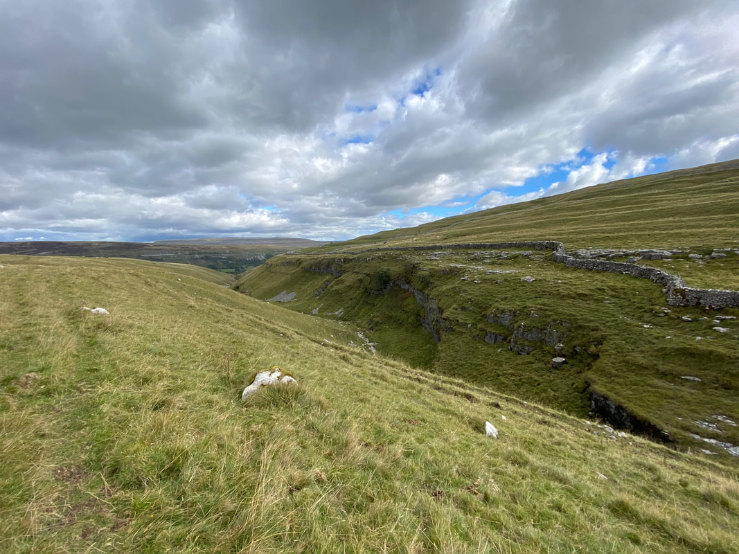
Scar Bank looking into Cote Gill - there is a waterfall down there somewhere but we saved that for another day
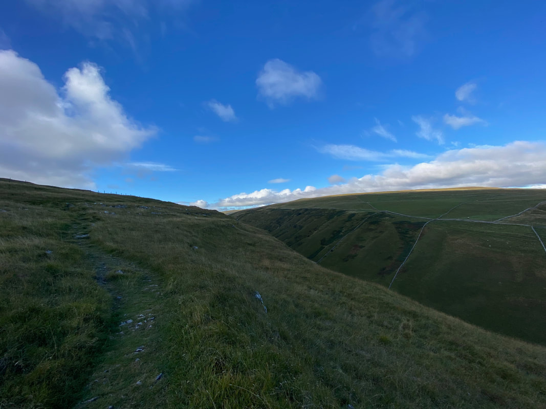
Dropping down from High Cote Moor to Arncliffe Cote
Arncliffe Cote
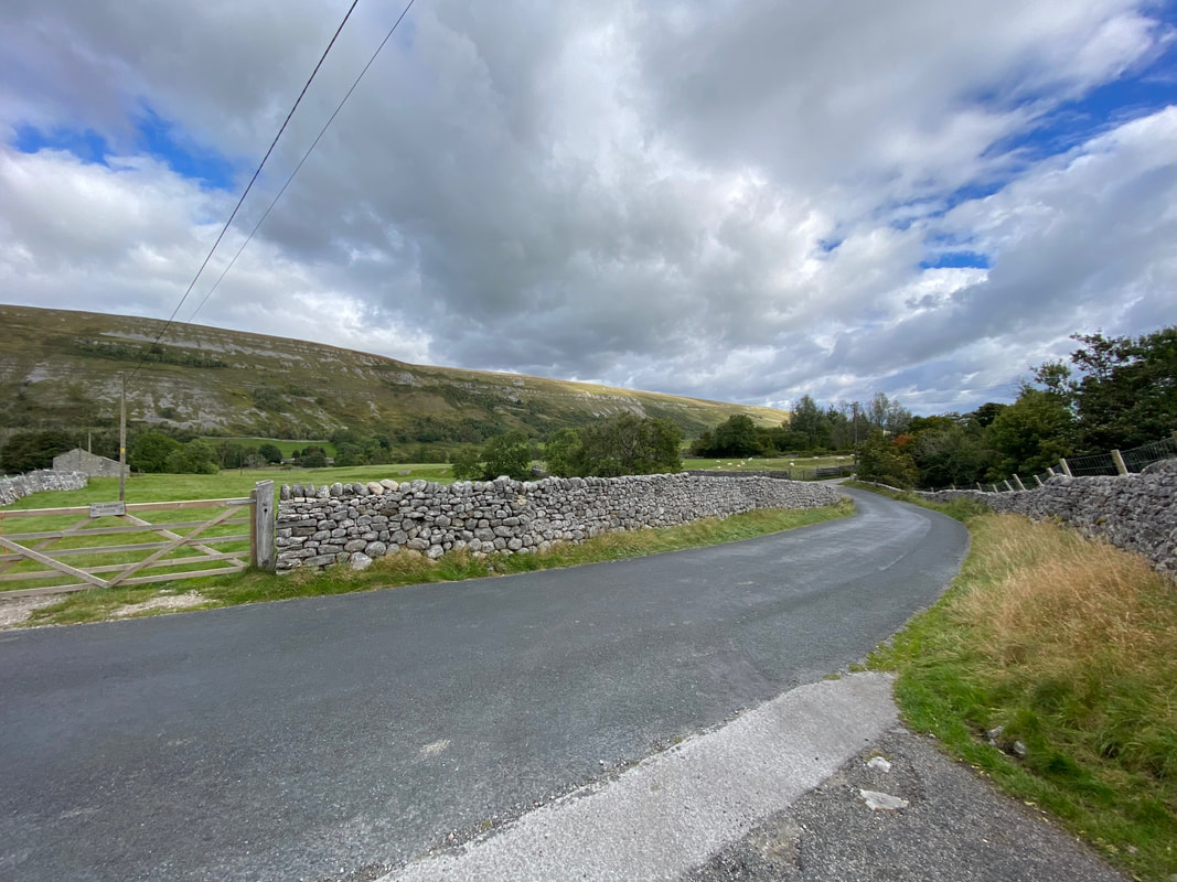
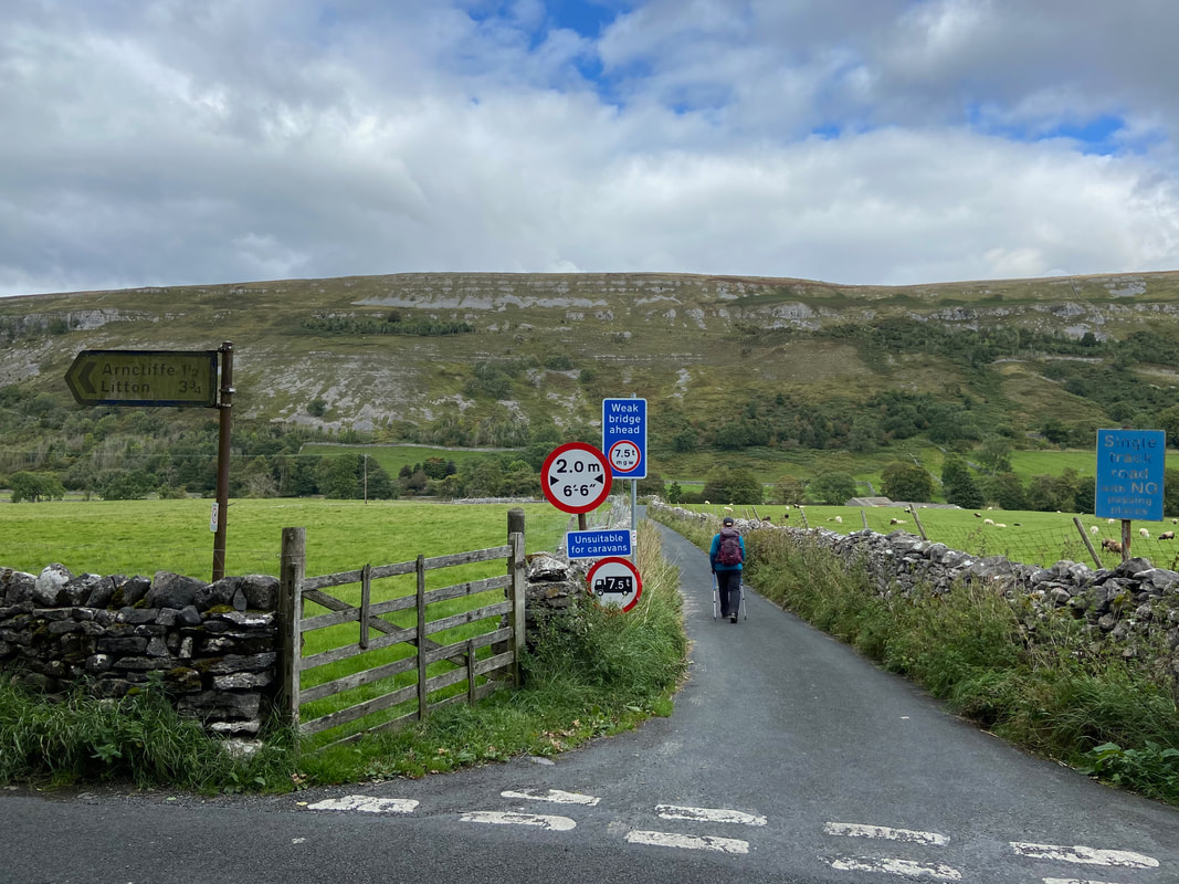
The access track to Arncliffe Cote leads out on to the road that links Kilnsey & Arncliffe - we would turn right here
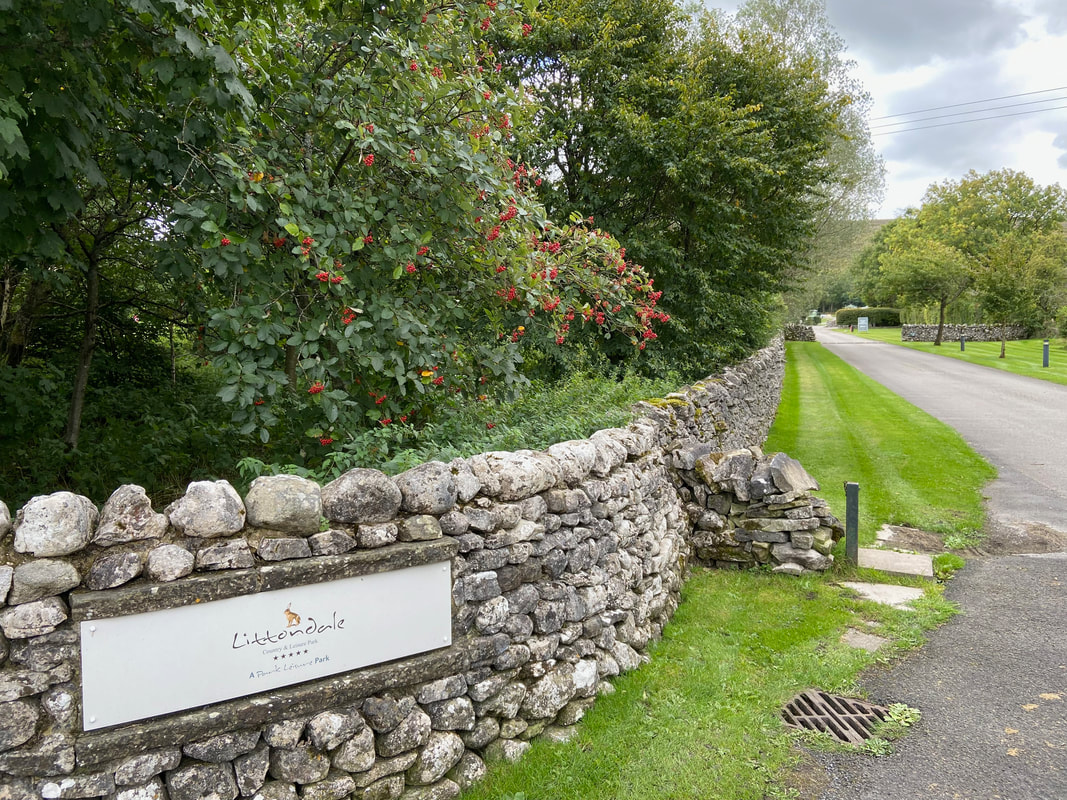
On the right hand side of the road is the former Hawkswick Cote Caravan Park which is now the Littondale Country & Leisure Park
Just past the Caravan Park entrance and on the opposite side of the road is Out Gang Lane which leads down to the River Skirfare
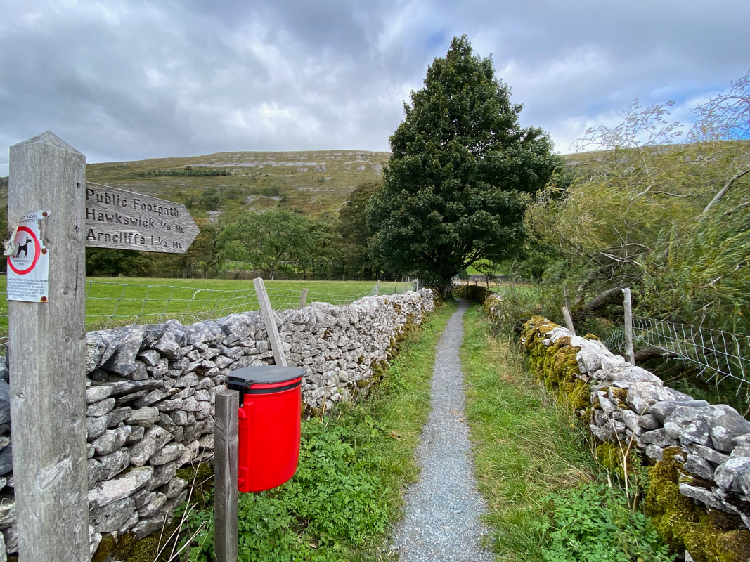
Leaving Out Gang Lane a sign points the way to Arncliffe - this path leads to the footbridge over the River Skirfare
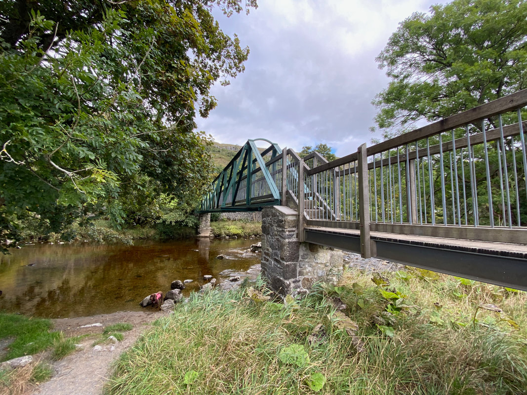
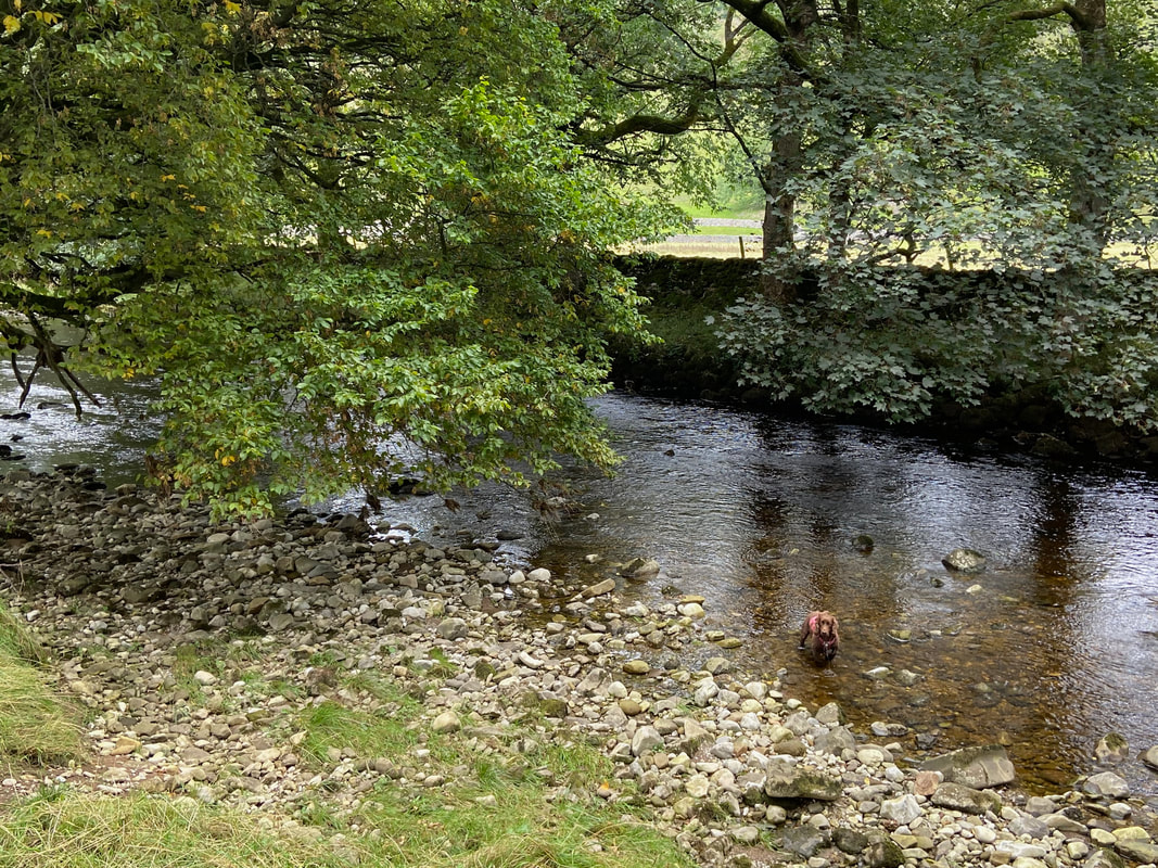
The footbridge over the River Skirfare - Fudge takes a minute to have a dip in the cool waters of the river
Claude Jeremiah Greengrass had better be careful here
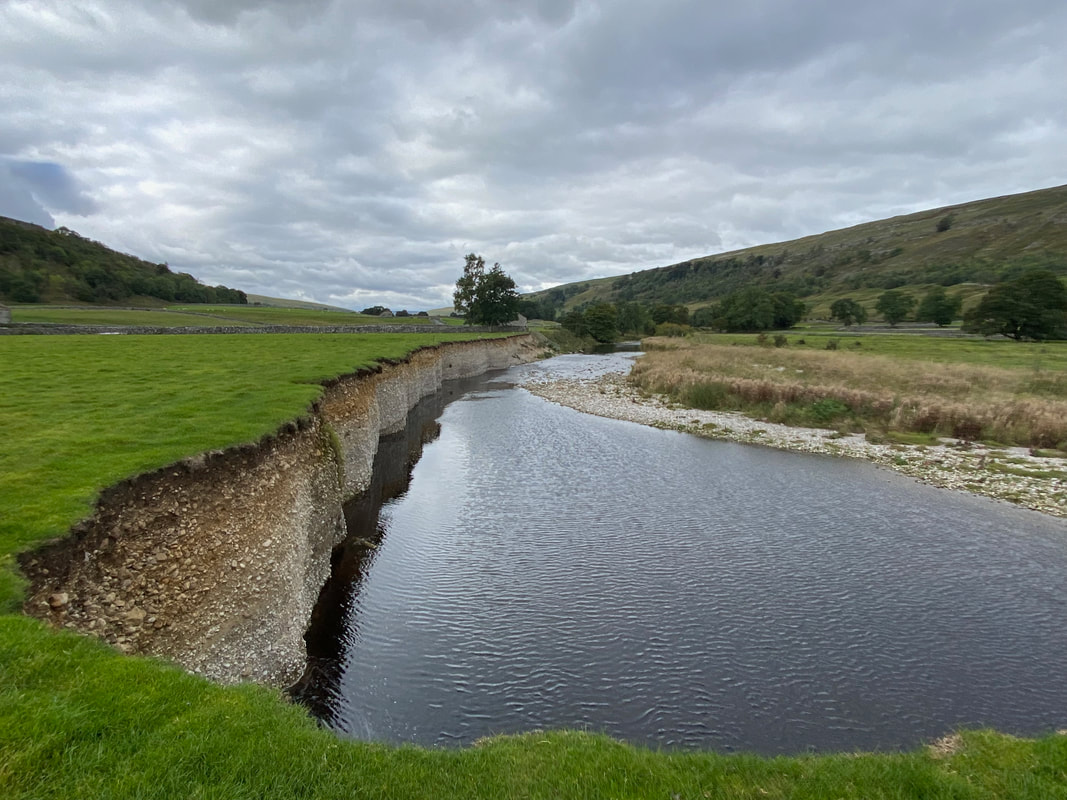
Crossing the bridge the route handrails the river bank through Littondale
Hawkswick Clowder & Dowkabottom
This was a challenge I can tell you!!
Fudge continues to have a good old mess about in the River Skirfare
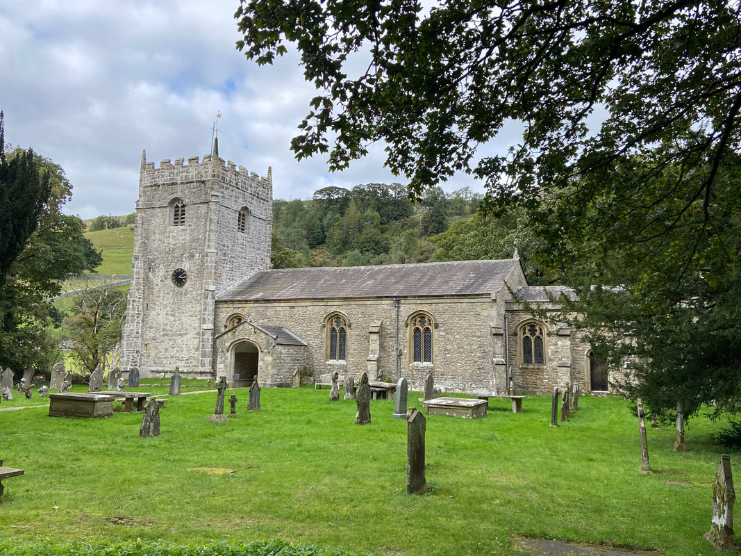
St Oswald's Church in Arncliffe
The chancel of the present church rests on Norman foundations, but the first church could have been Saxon. The tower is 15th century and holds three bells, the oldest of which dates from about 1350 and still strikes on the hour. The church has had two restorations in 1796 and 1841.
The chancel of the present church rests on Norman foundations, but the first church could have been Saxon. The tower is 15th century and holds three bells, the oldest of which dates from about 1350 and still strikes on the hour. The church has had two restorations in 1796 and 1841.
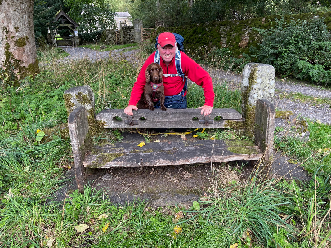
Near the church entrance are the Arncliffe Village Stocks. These stocks were built to comply with the law of 1490 requiring every village to have a set of stocks in which those who missed church would be placed to reflect on the error of their ways.
The Reading Room - one of many lovely properties in this beautiful village
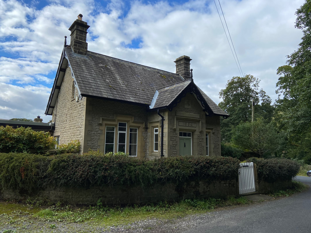
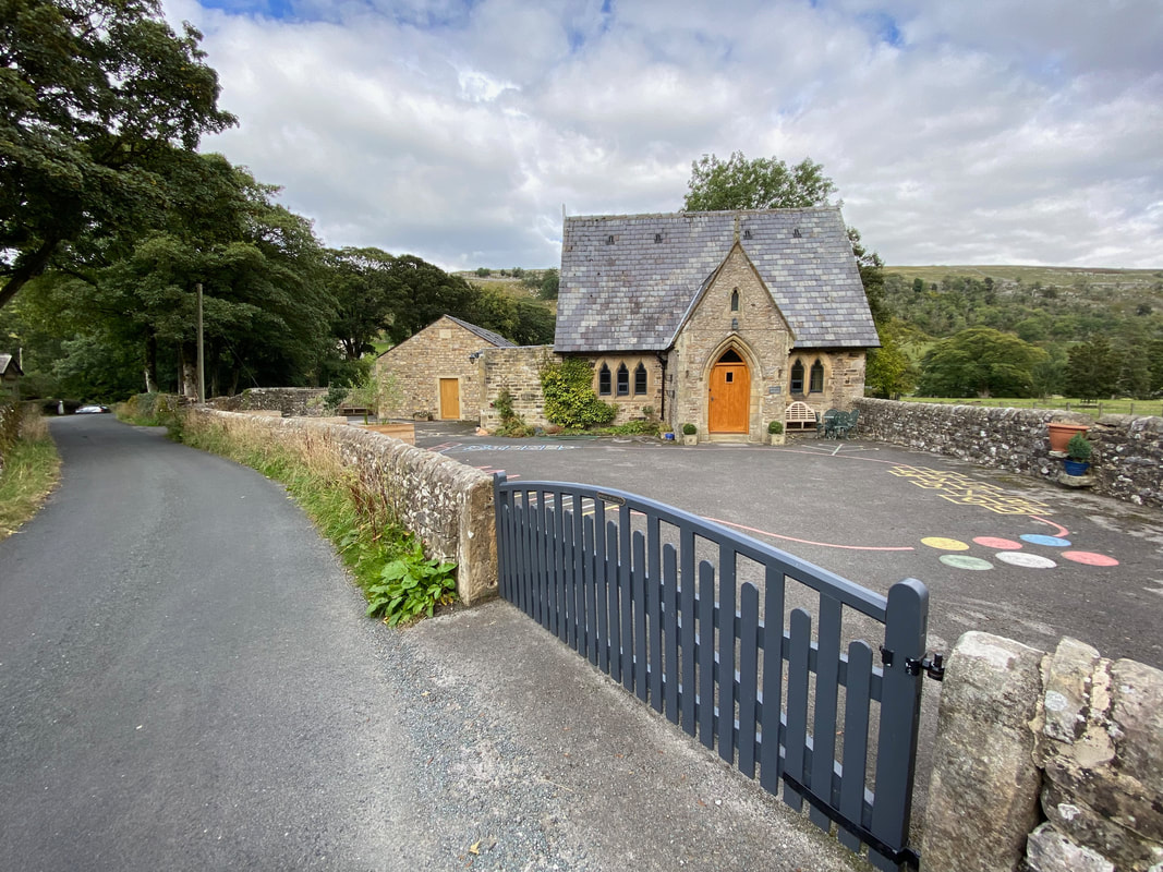
The former primary school in Arncliffe. With only 4 registered pupils, the school closed its doors for the final time in 2011. I can only assume that it is now a private home but the building still retains evidence of its past in the former playground.
