Grike & Crag Fell - Sunday 7 January 2018
Route
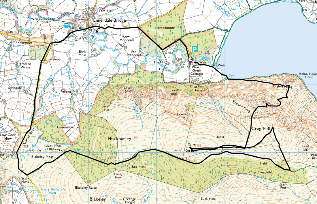
Bleach Green - Ennerdale Water - Anglers Crag - Crag Fell Pinnacles (Revelin Crag) - Grike - Crag Fell - Old Mine Road - Heckbarley - Blakeley Moss - Scarny Brow - Ennerdale Bridge - Bleach Green
Parking
Bleach Green Car Park, Ennerdale (Free) - Grid Ref NY086153. Nearest postcode is CA23 3AS.
Mileage
10 miles
Terrain
Good mountain paths with some road walking on quiet lanes. The transit from above Anglers Crag to the top of Revelin Crag beyond the Pinnacles is pathless for the most part. The area between Grike & Crag Fell can be extremely boggy after rain but can be avoided with a bit of side stepping.
Weather
Overcast at first then improving into a beautiful crisp winters day. Visibility was very good.
Time Taken
6hrs
Total Ascent
2286ft (697m)
Map
OL4 - The English Lakes (North Western Area)
Walkers
Dave, Angie & Fudge
|
GPX File
|
| ||
If the above GPX file fails to download or presents itself as an XML file once downloaded then please feel free to contact me and I will send you the GPX file via e-mail.
Walk Description
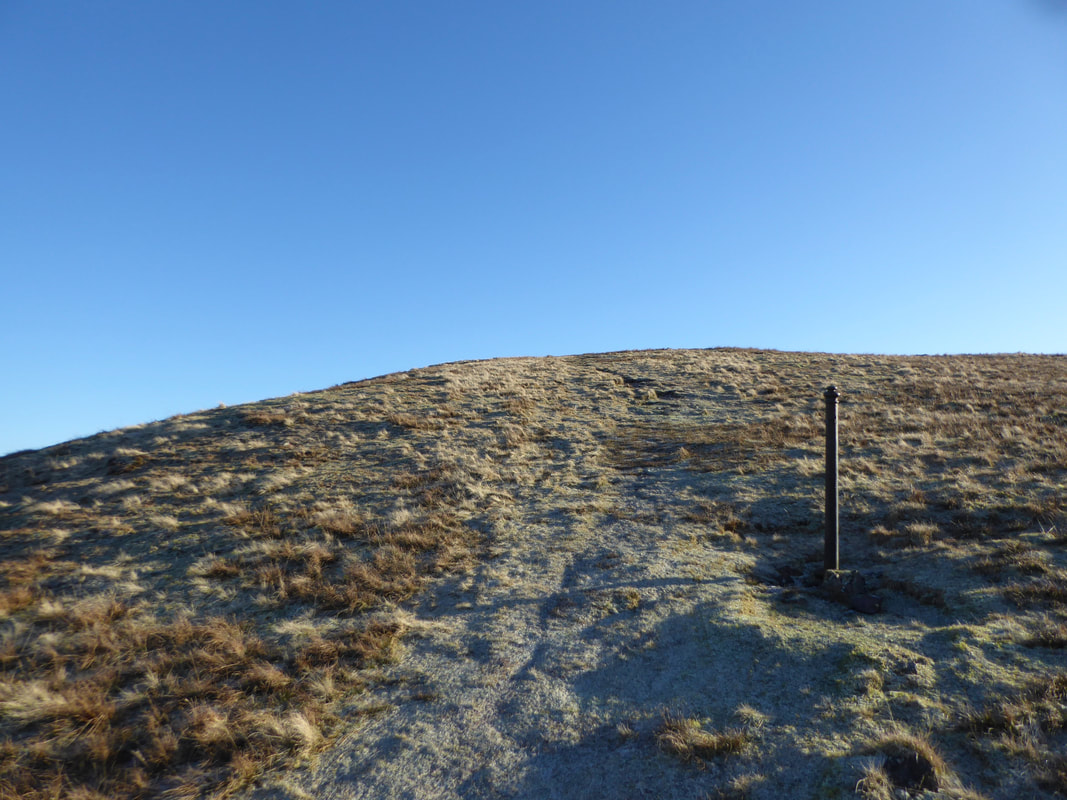
For those of you wanting to save a bit of time on this walk then to reduce the mileage it is best to approach Crag Fell first from the top of Revelin Crag (the metal fence post, see pic below). Leaving Crag Fell, simply walk to Grike's summit as per the route above then rejoin the mine road via the western path from the top of the fell.
Bearing in mind this was a Sunday we saw nobody all day.
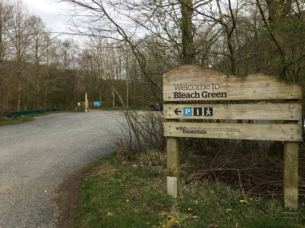
The start of today's walk was from the Car Park at Bleach Green which is at the western end of Ennerdale Water
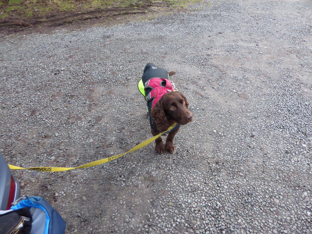
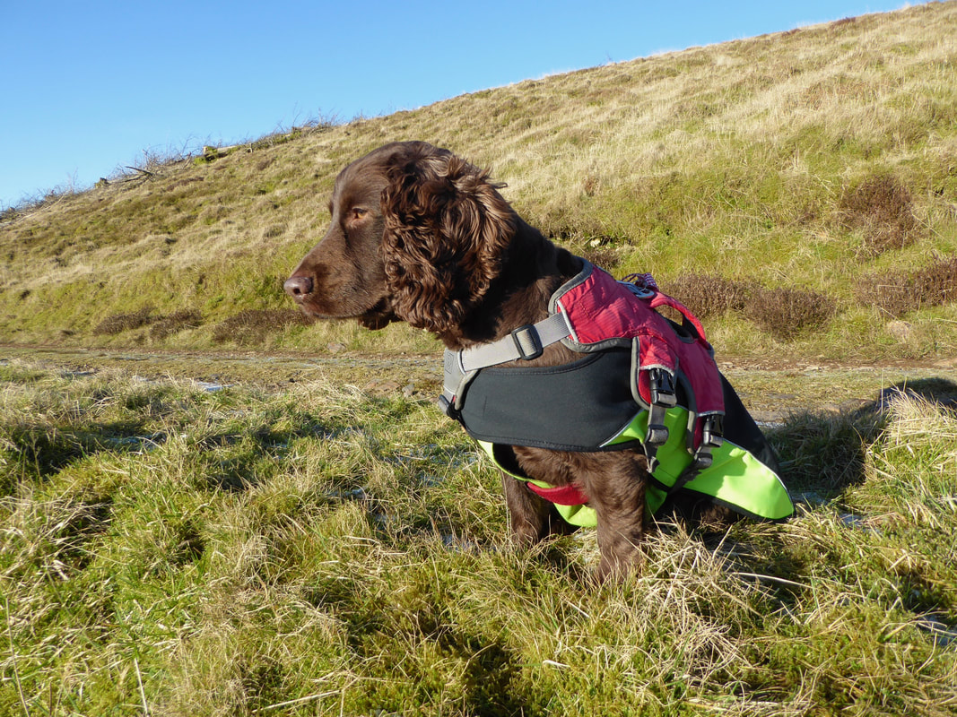
As usual Fudge was not impressed as he was forced into waiting for us to finish "faffing about"
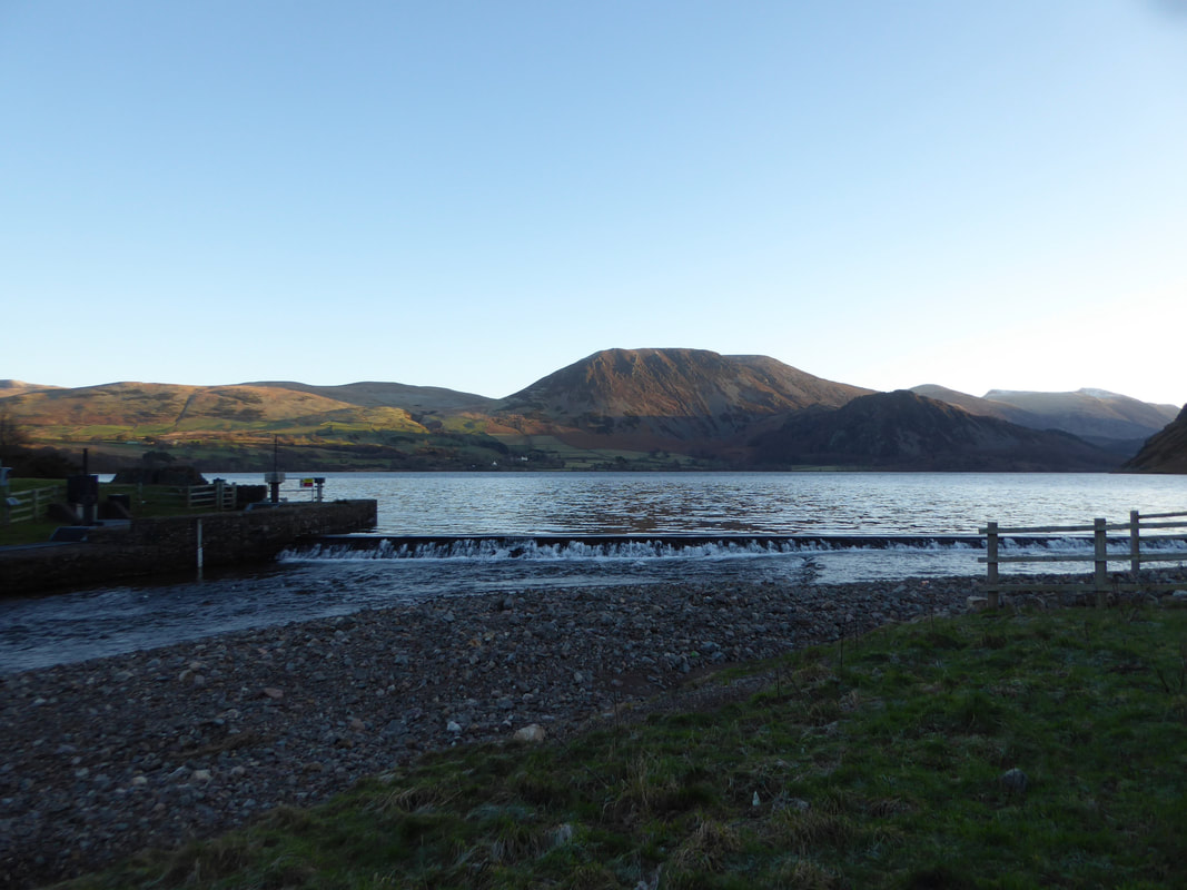
The weir at the western end of Ennerdale Water looking to Herdus, Great Borne & Bowness Knott. To the far right are Starling Dodd, Red Pike & High Stile.
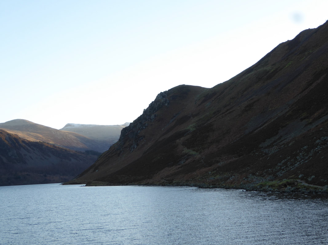
Looking down Ennerdale Water to our ascent of Anglers Crag.
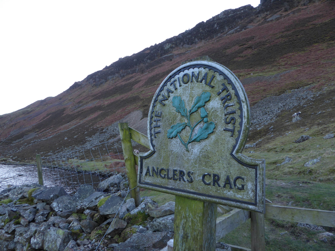
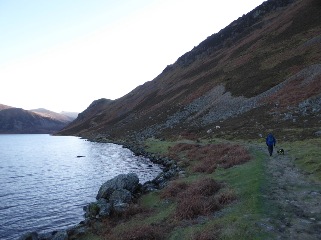
The Coast to Coast path heads along the shoreline with our route of ascent seen above it. There is another path higher than our one which starts from the gate by the Anglers Crag sign (see pic below).
The Coast to Coast path heads along the shoreline with our route of ascent seen above it. There is another path higher than our one which starts from the gate by the Anglers Crag sign (see pic below).
The higher path to Anglers Crag can be seen heading left from above the two sheep. Either of the two paths can be used - we chose the lower one today.
Heading along the south shore of Ennerdale Water on the Coast to Coast path
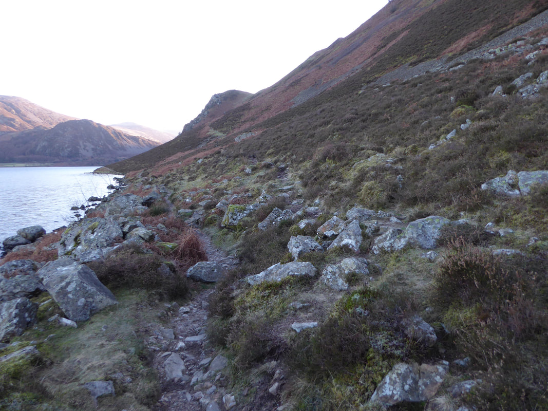
The turn off from the Coast to Coast path.
The path junction is easily missed as it is not readily apparent - the Grid Reference is NY 09224 15082.
The path junction is easily missed as it is not readily apparent - the Grid Reference is NY 09224 15082.
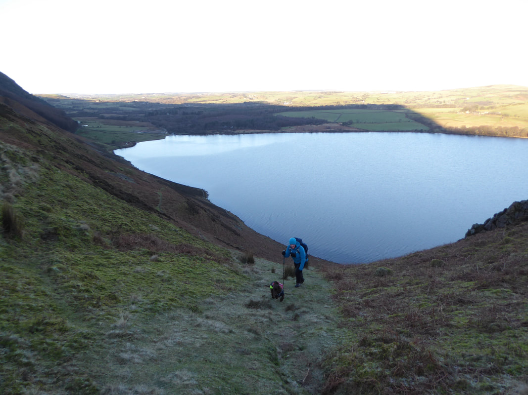
Approaching the col just below Anglers Crag
The path to Anglers Crag steepens markedly for the last 200 yards
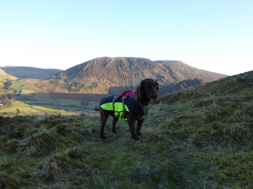
As is usual Fudge makes it look so easy as Angie and I use this photo opportunity of Herdus & Great Borne to have a breather
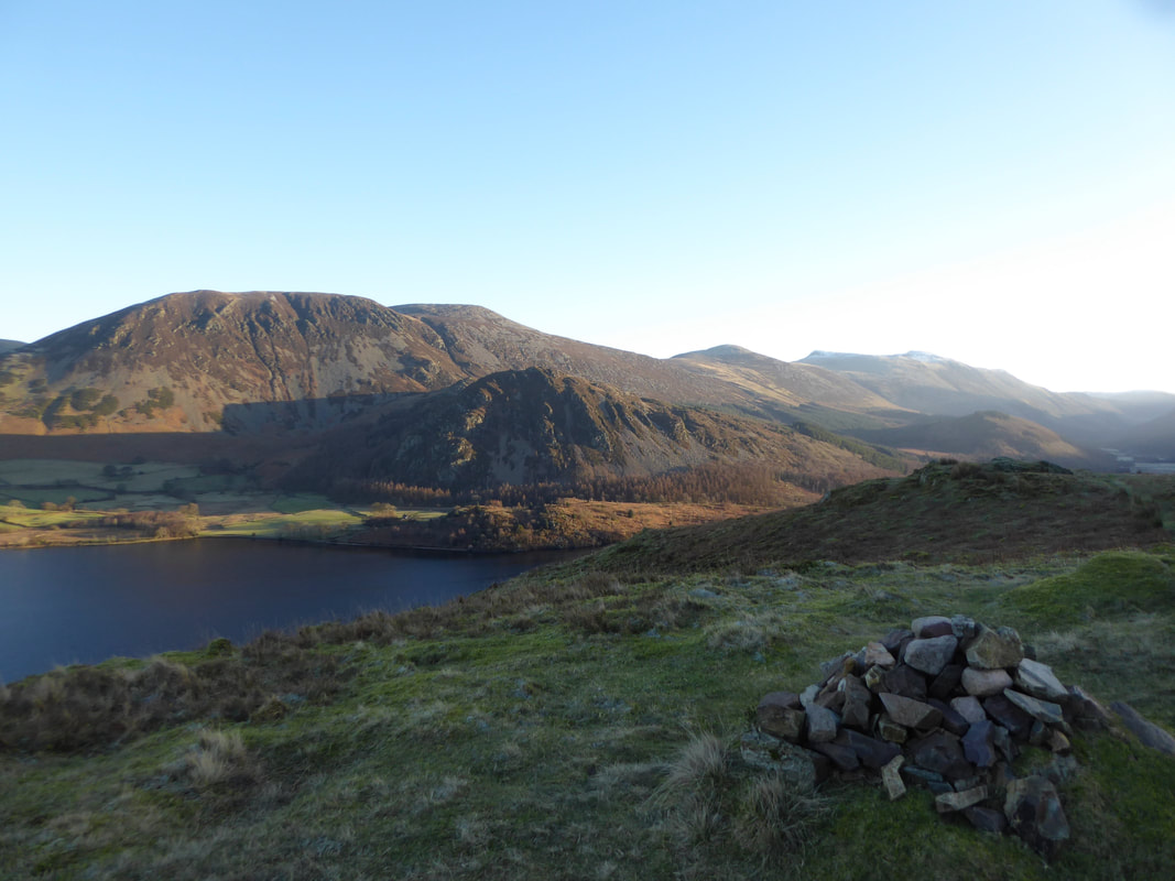
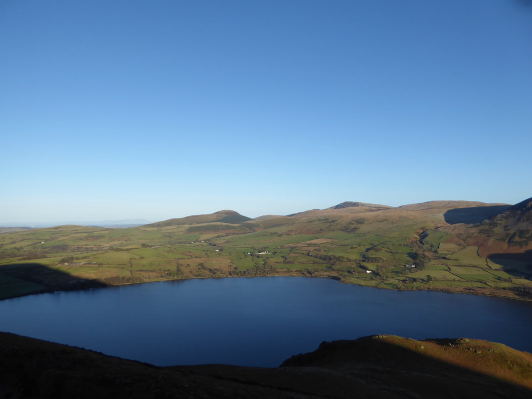
The summit of Anglers Crag looking over Ennerdale Water to Herdus, Great Borne & Bowness Knott
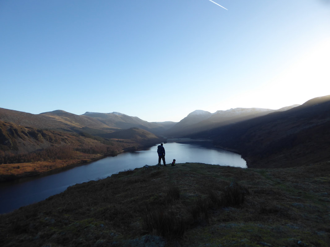
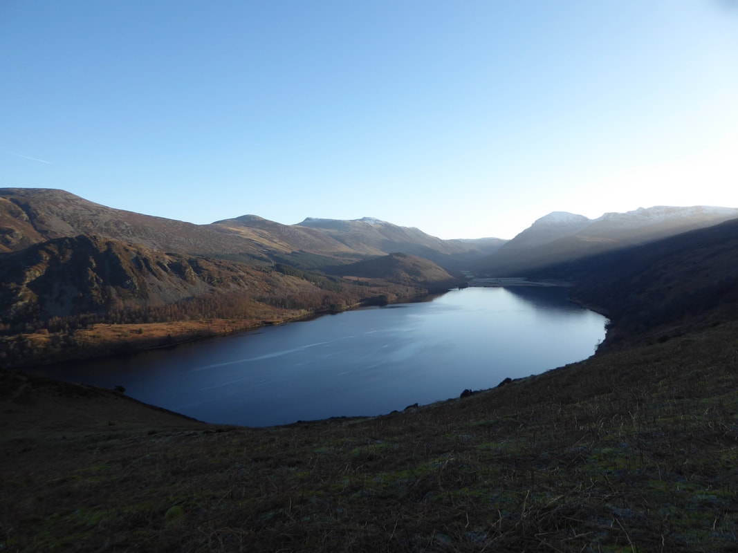
We were out fairly early today and knew that if the conditions were right then we would have a cracking view down Ennerdale Water from the summit of Anglers Crag - and so it proved.
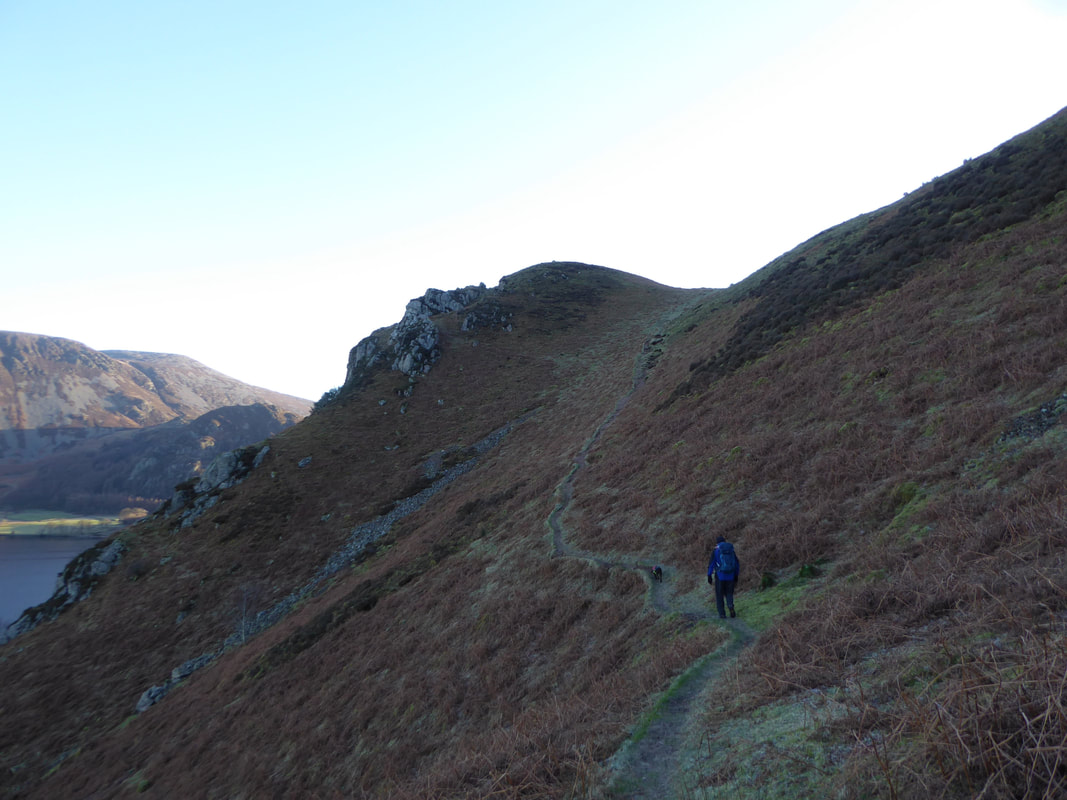
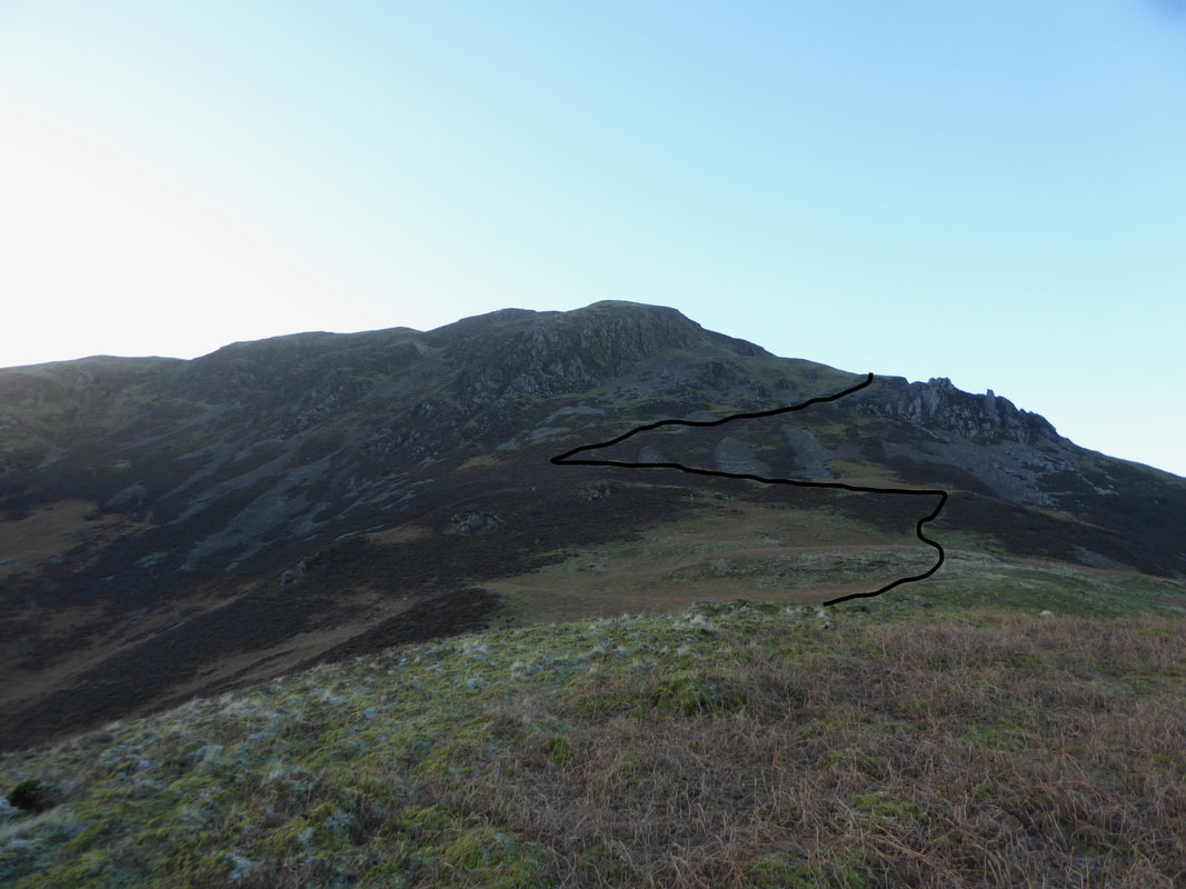
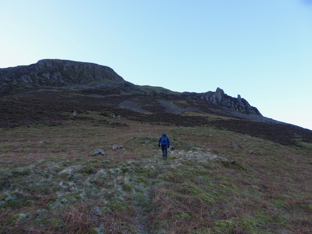
The route from Anglers Crag to the top of Revelin Crag via the Crag Fell Pinnacles which are to the right.
There is a path of sorts but it is intermittent in part and once past the Pinnacles it disappears altogether. In addition to the path that passes above the Pinnacles, there is a lower path also which starts from roughly where the black line directly below the Pinnacles turns sharply to the left.
There is a path of sorts but it is intermittent in part and once past the Pinnacles it disappears altogether. In addition to the path that passes above the Pinnacles, there is a lower path also which starts from roughly where the black line directly below the Pinnacles turns sharply to the left.
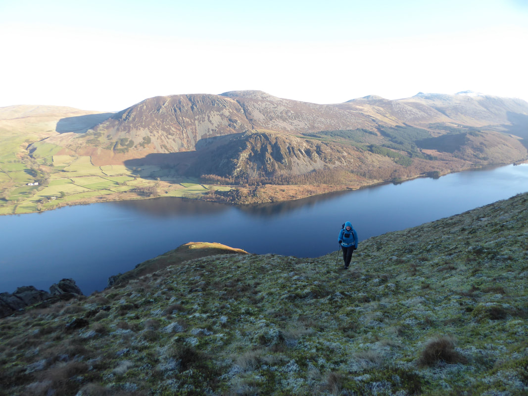
Leaving Anglers Crag the view over Ennerdale Water opens out
Anglers Crag from the ascent to the Pinnacles
Revelin Crag to the left with the Pinnacles to the right - we would turn left about 75 yards from where I am at the moment.
Knock Murton to the left with Blake Fell to the right
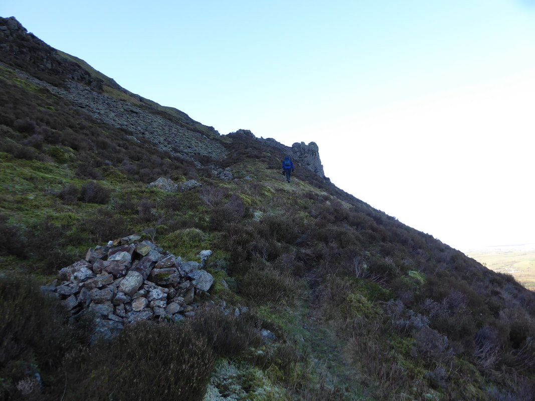
The path turns right at this cairn which is at Grid Reference NY 09792 14794. From here the path heads towards the Pinnacles along a grassy rake.
Looking back down the rake to Anglers Crag
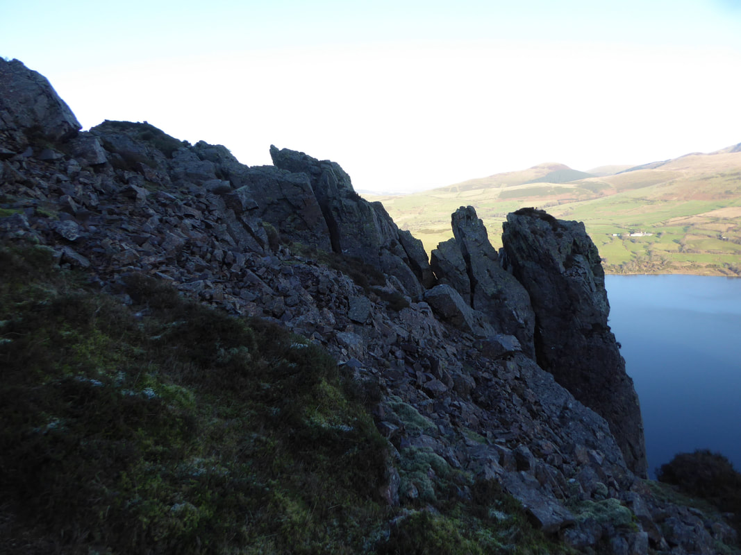
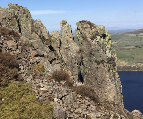
Crag Fell Pinnacles
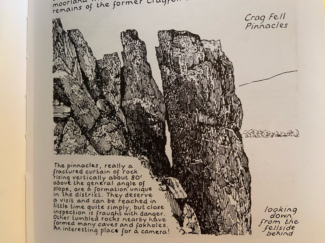
As Wainwright said in Book Seven "close inspection is fraught with danger" (Crag Fell 2)
As Wainwright said in Book Seven "close inspection is fraught with danger" (Crag Fell 2)
Wainwright's drawing of the Pinnacles which appears on Crag Fell 2 next to a pic I took on a day when the light was better.
As you can see he was pretty accurate and the scene has not changed at all considering he probably drew this in 1955.
As you can see he was pretty accurate and the scene has not changed at all considering he probably drew this in 1955.
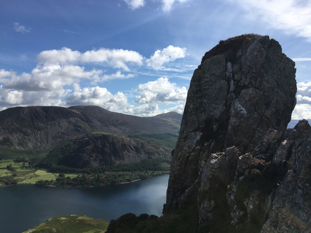
Crag Fell Pinnacles from the western side which is a much easier place to get a closer shot
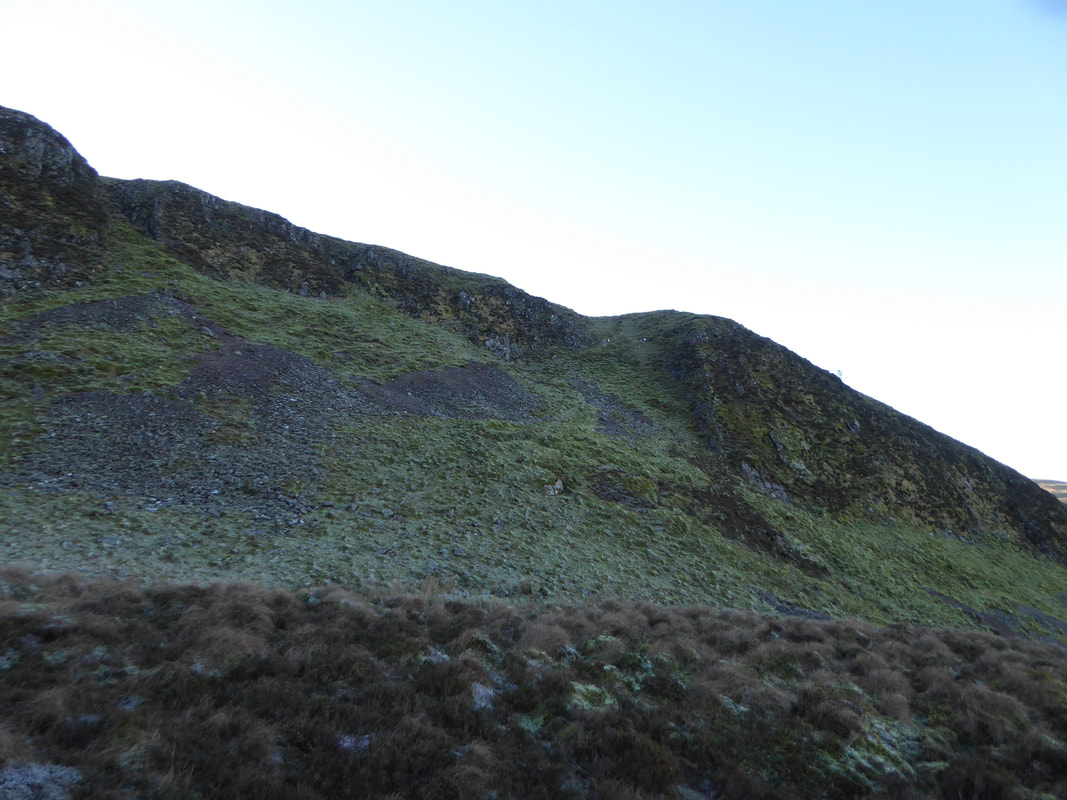
From the Pinnacles the route transits pathless & rough ground to reach the steep grassy rake ahead
At the top of the grassy rake an old post is reached.
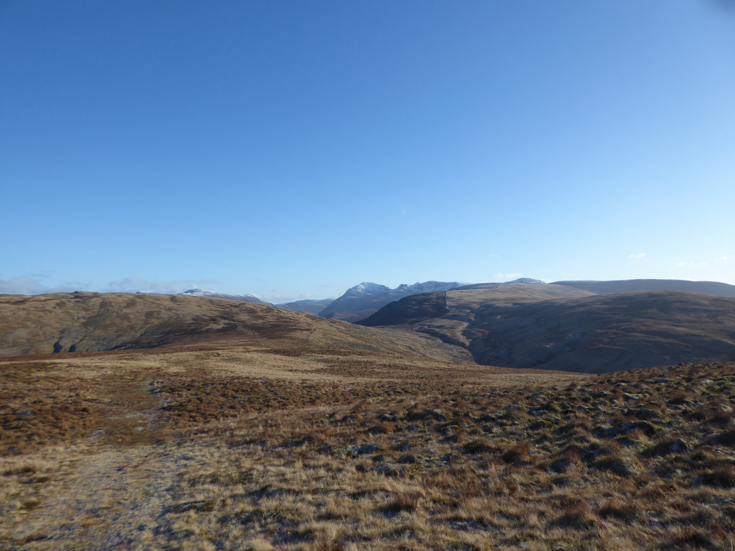
The path ahead goes on to Crag Fell and directly behind me is the path back down to Ennerdale via Ben Gill. We were heading to the right towards a fence line leading to the col between Grike & Crag Fell.
The path ahead goes on to Crag Fell and directly behind me is the path back down to Ennerdale via Ben Gill. We were heading to the right towards a fence line leading to the col between Grike & Crag Fell.
Grike
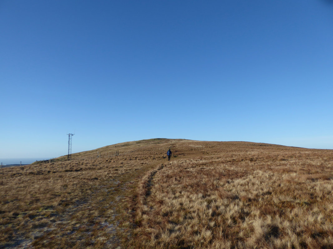
Passing the transmitter station on the way to Grike
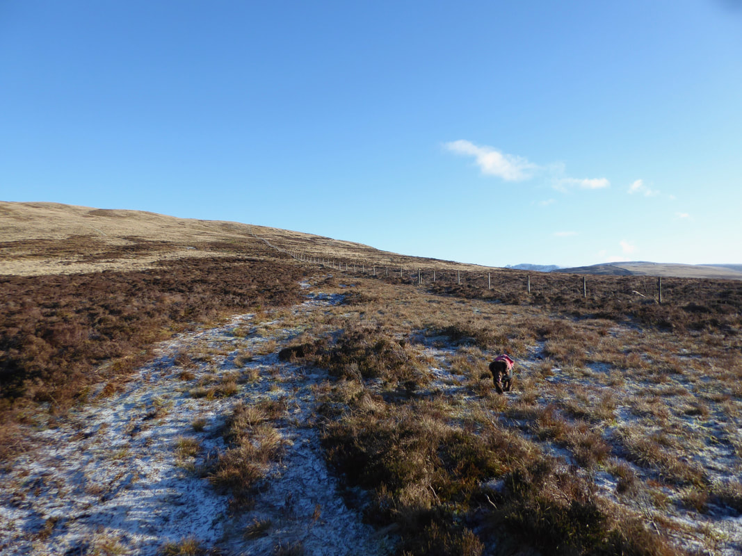
Looking back to Crag Fell from the ascent of Grike with Pillar distant. We had come from the left across the slope of Crag Fell to the col below.
As usual Fudge had beaten us to the summit
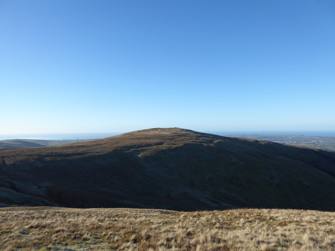
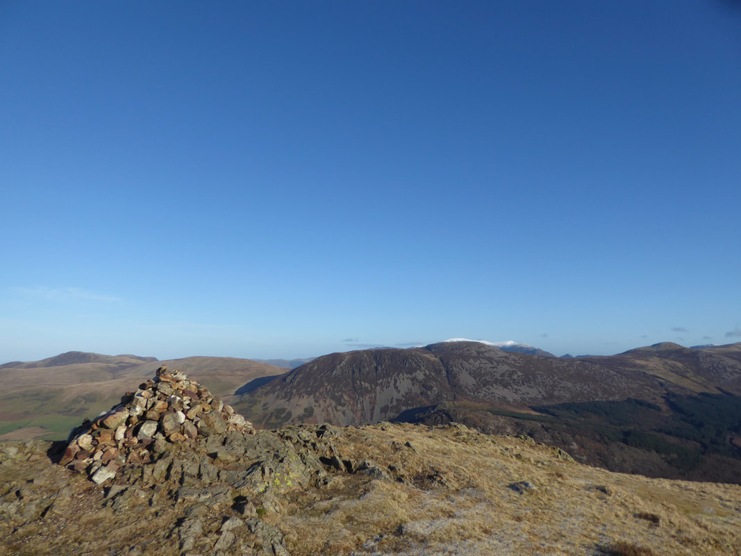
The summit of Grike looking to Herdus, Great Borne & Crag Fell
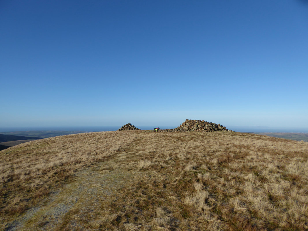
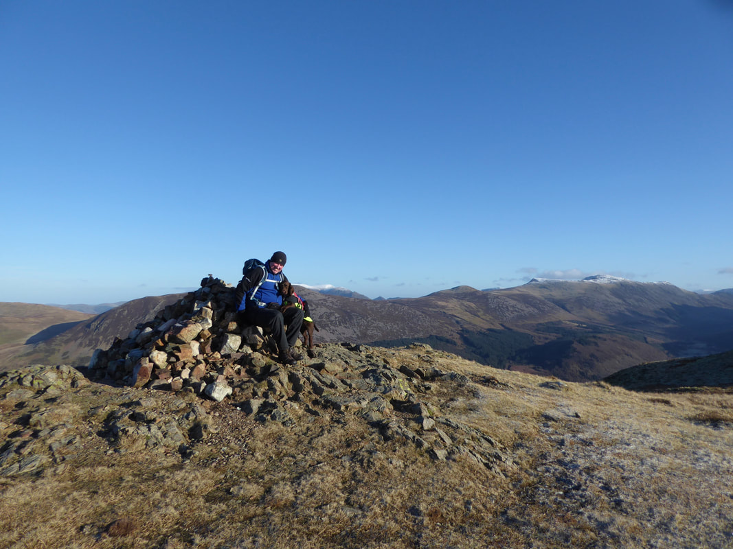
Grike's summit wind shelter & cairn
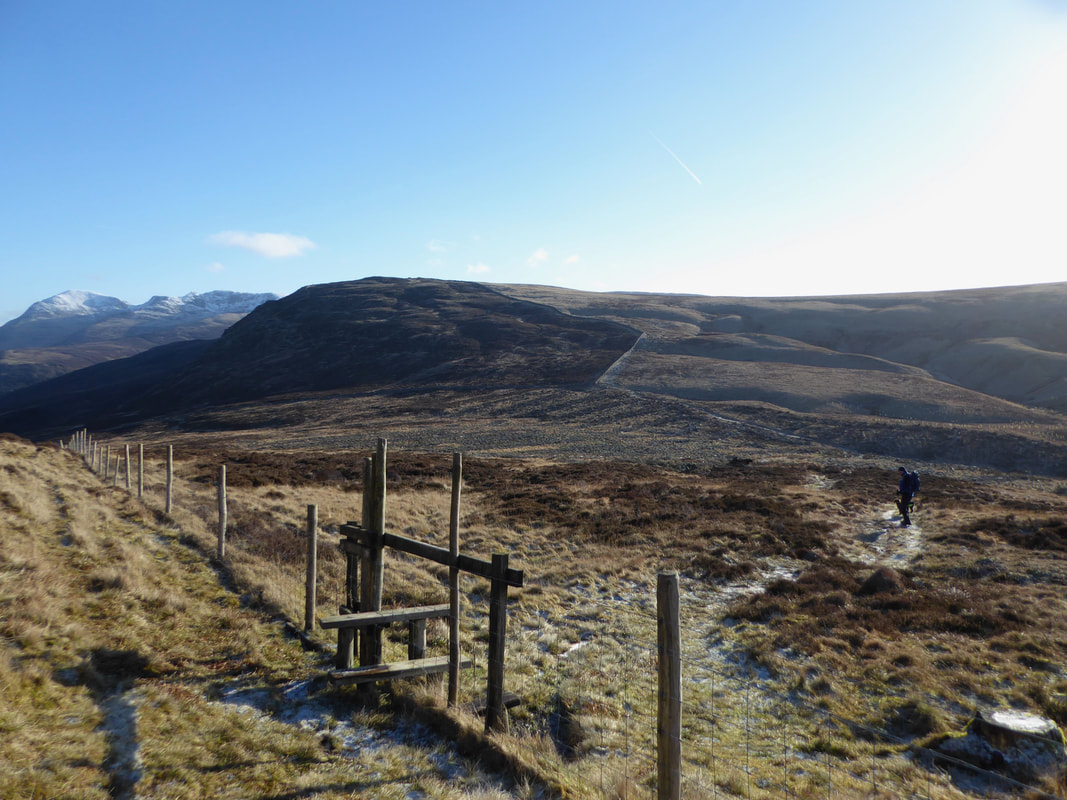
The col between Grike & Crag Fell.
The fence coming in from the right is the one we followed from near the top of Revelin Crag.
The fence coming in from the right is the one we followed from near the top of Revelin Crag.
Heading for Crag Fell.
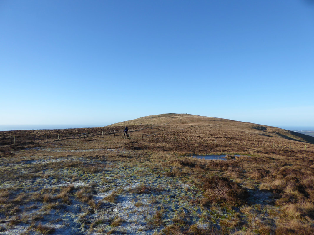
Ordinarily this part of the path either side of the fence behind us would be a tad boggy - it was bone hard today.
Ordinarily this part of the path either side of the fence behind us would be a tad boggy - it was bone hard today.
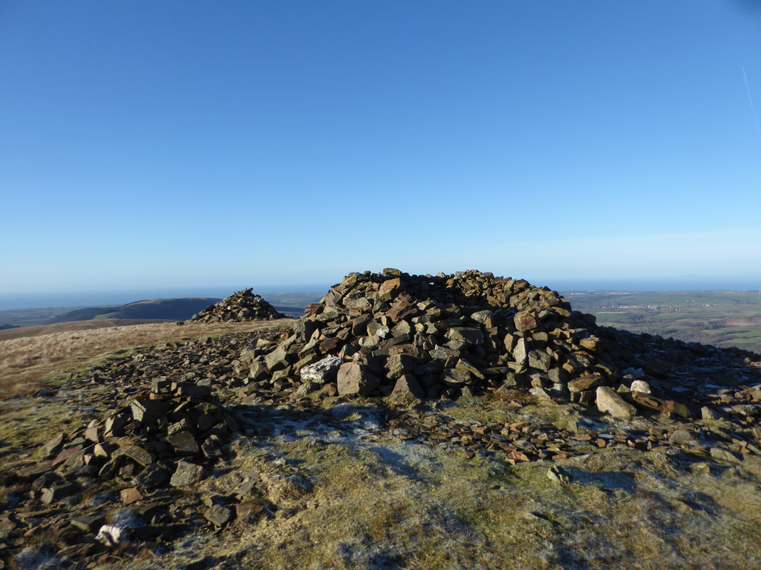
The summit of Crag Fell
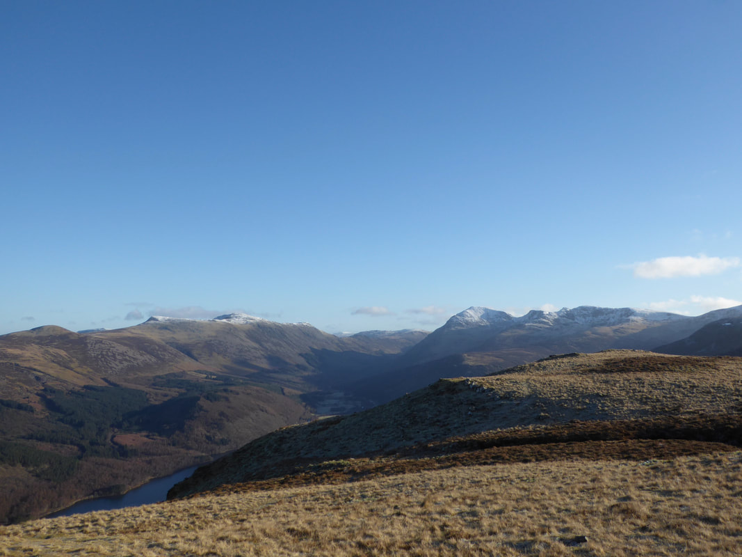
From the summit is a glorious view down Ennerdale with the High Stile range to the left and Pillar to the right.
For an even better view then head along the summit ridge for 200 yards or so in the direction of Pillar.
For an even better view then head along the summit ridge for 200 yards or so in the direction of Pillar.
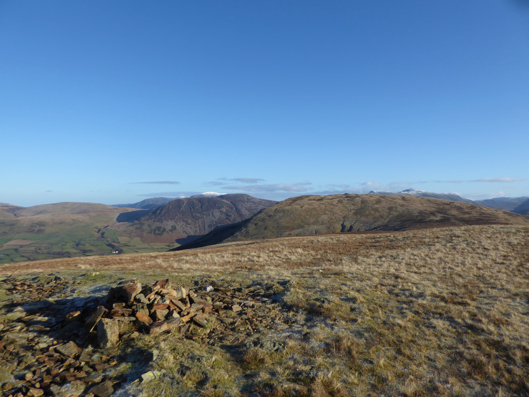
The summit of Crag Fell with Blake Fell & Gavel Fell to the left with Herdus & Great Borne centre. Starling Dodd is to the right.
Leaving Crag Fell we crossed the fence line via this stile to reach the old mine road below.
Pillar is to the left with the bulk of Iron Crag above the stile and the slopes of Whoap to the right.
Pillar is to the left with the bulk of Iron Crag above the stile and the slopes of Whoap to the right.
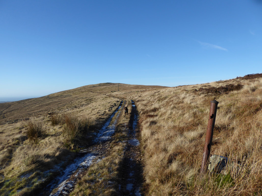
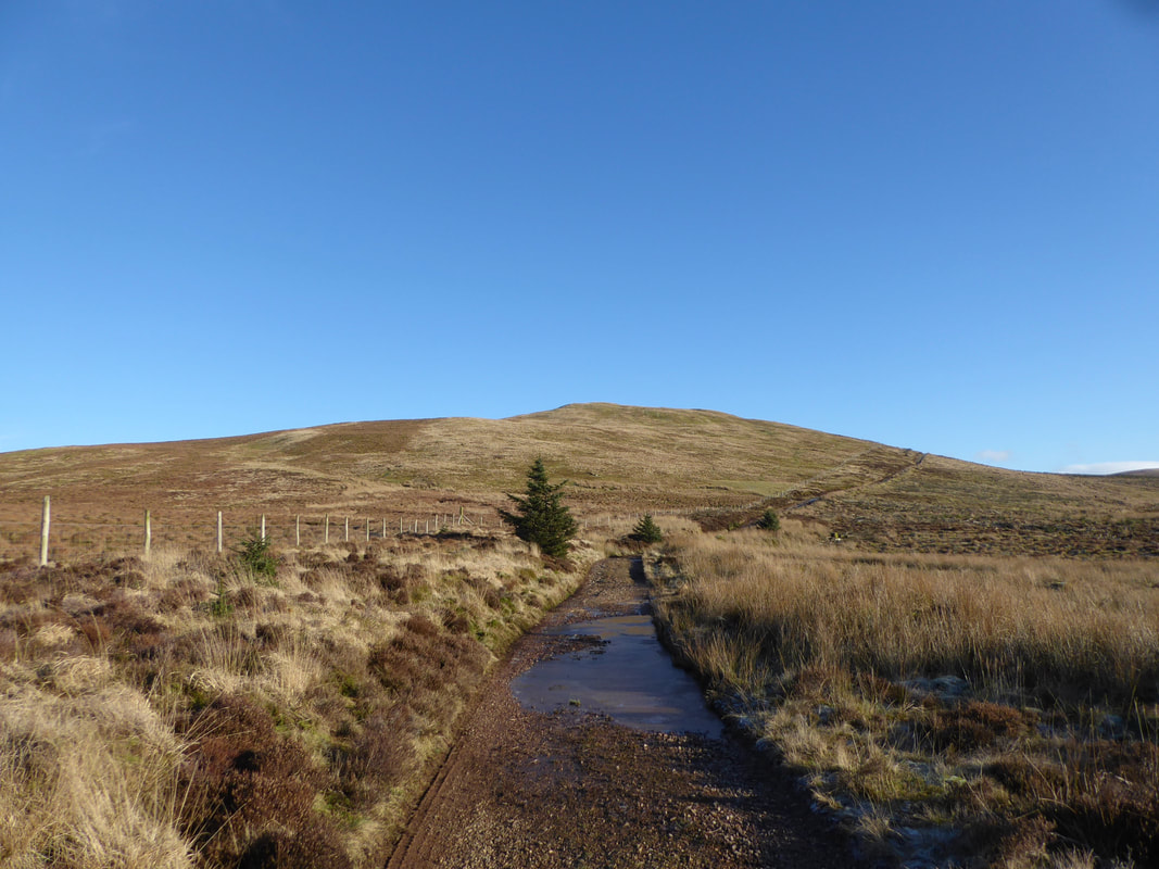
The old mine road looking to Grike.
The track runs from Scarny Brow for approximately 3 miles to the disused iron ore mine on the south eastern slopes of Crag Fell.
The track runs from Scarny Brow for approximately 3 miles to the disused iron ore mine on the south eastern slopes of Crag Fell.
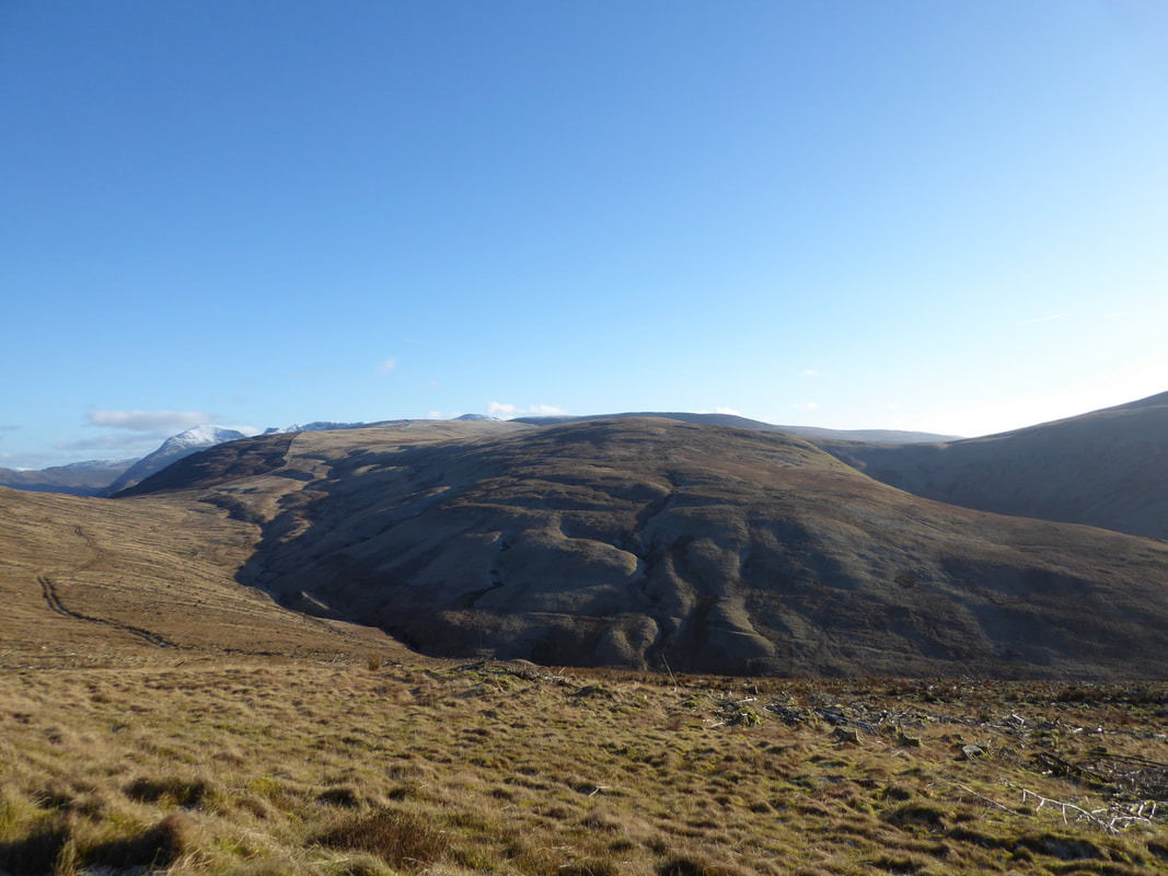
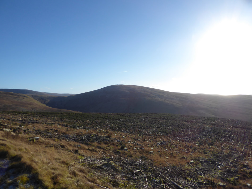
Whoap with the slopes of Lank Rigg to the right
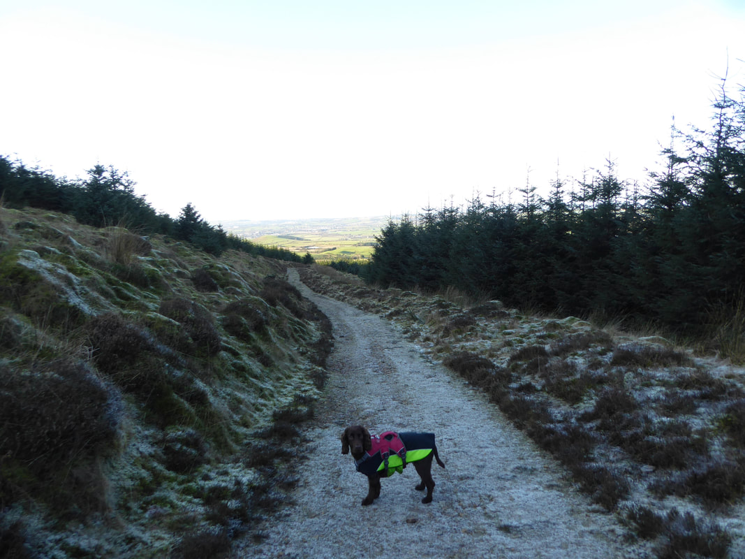
Fudge in contemplative mood.
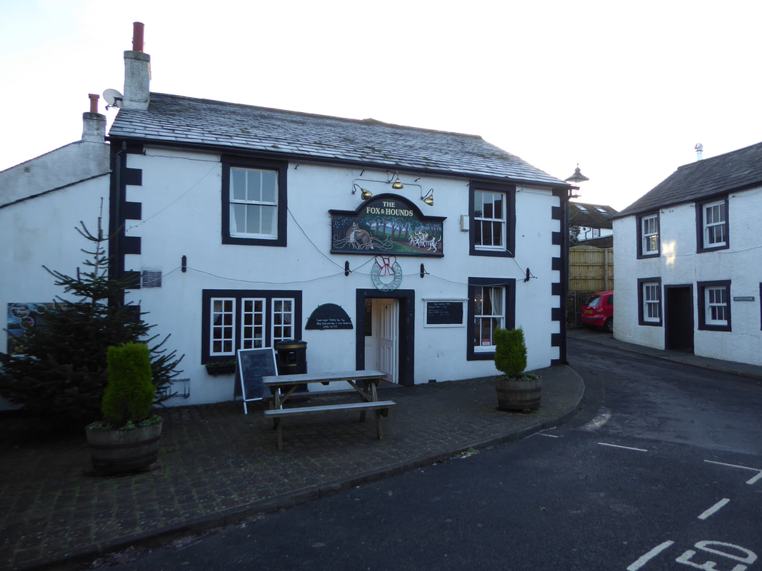
He is probably wondering if we are going for our usual post walk beer in The Fox & Hounds in order that he can go into "beg mode".
He is probably wondering if we are going for our usual post walk beer in The Fox & Hounds in order that he can go into "beg mode".
Lank Rigg
Blakeley Raise from the old mine road
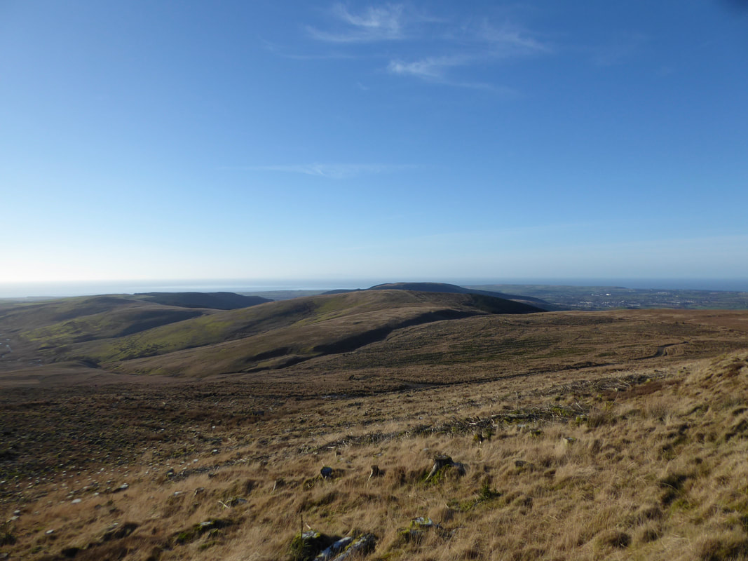
Looking back to the western descent/ascent of Grike
Giz a kiss
Not far to go now as we head through Heckbarley
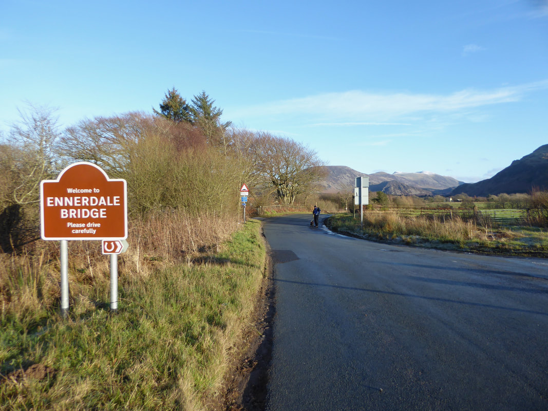
From Scarny Brow the route follows the Coast to Coast path into Ennerdale Bridge
One of the best pubs in the Lake District in my humble opinion
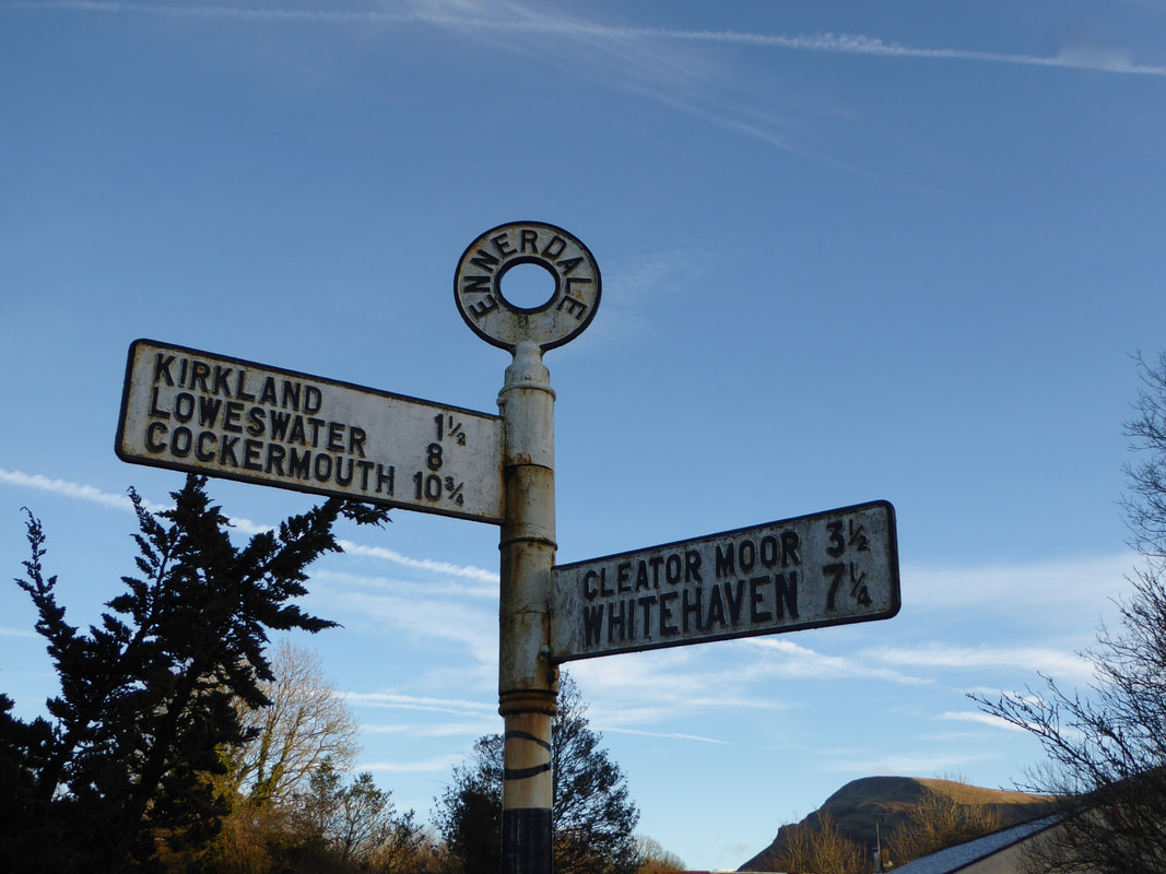
Lovely old road sign in Ennerdale Bridge.
From the village it is simply a case of following the road heading east to reach Bleach Green.
From the village it is simply a case of following the road heading east to reach Bleach Green.
