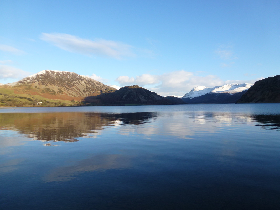
Ennerdale to Black Sail Hut - Sunday 1 February 2015
Route
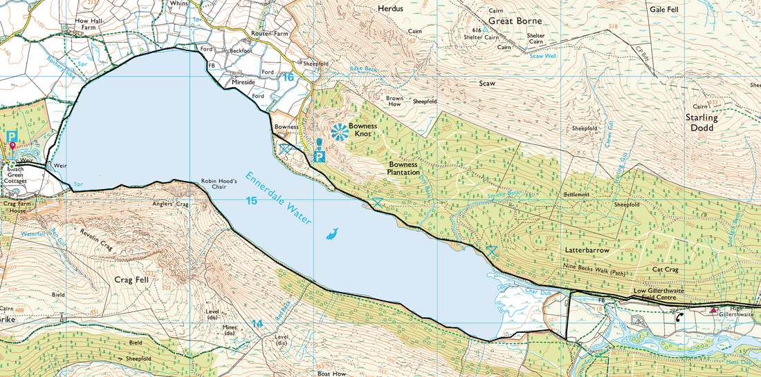
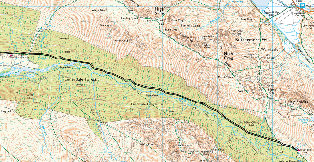
Ennerdale - Anglers Crag - The Side - Gillerthwaite - Black Sail Hut - Gillerthwaite - Ennerdale North Shore - Ennerdale
Parking
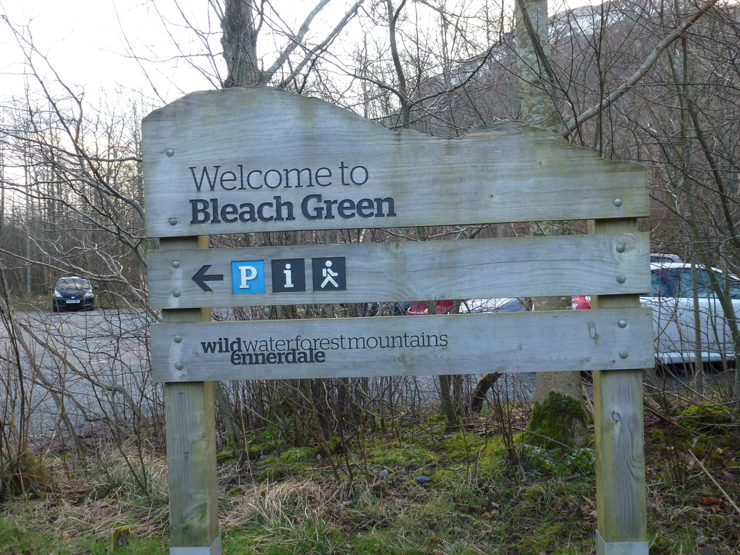
Bleach Green Car Park, Ennerdale (Free) - Grid Ref NY086153
Mileage
16.4 miles
Terrain
Lake shore paths & forest tracks with some rough paths near Black Sail
Weather
Very cold, yet sunny for the majority of the day.
Time Taken
7hrs
Total Ascent
882ft (269m)
Map
OL4 - The English Lakes (North Western Area)
|
GPX File
|
| ||
If the above GPX file fails to download or presents itself as an XML file once downloaded then please feel free to contact me and I will send you the GPX file via e-mail.
Walk Description
Back in the Lake District again and we were minded to keep the walk fairly flat today but wished to bang in a bit of mileage. We decided to drive over to Ennerdale - which we knew that even on a glorious Sunday would still be very quiet - and so it proved for the most part. The walk today started from the free Car Park at Bleach Green near the weir on Ennerdale Water.
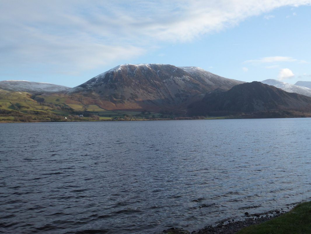
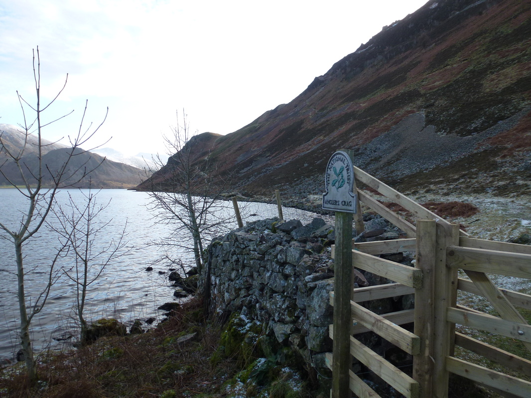
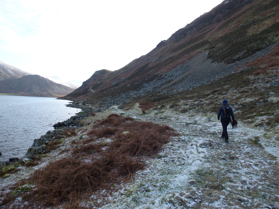
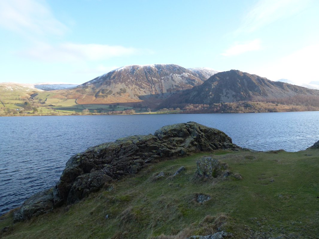
Leaving Bleach Green the path soon reached the shores of Ennerdale, immediately giving us superb views over towards Great Borne & Bowness Knott. We have walked this outward stretch before when we did the Coast to Coast walk in 2012 (link) and therefore followed the South Shore towards Anglers Crag - there are a couple of clear paths up to the crag but we remained with the shore. We then journeyed past the base of Anglers Crag, climbed up for a short period to descend to Robin Hood's Chair and then carried on along The Side, all the time enjoying complete solitude along this beautiful stretch of water. Reaching the end of Ennerdale Water we crossed a pasture before arriving at the stone bridge over the River Liza. The Liza begins its journey up at Windy Gap and flows into Ennerdale Water. There now begins a nice long stretch of nearly 4 miles through the forest but with the adjacent fells and the Liza for company it is far from dull.
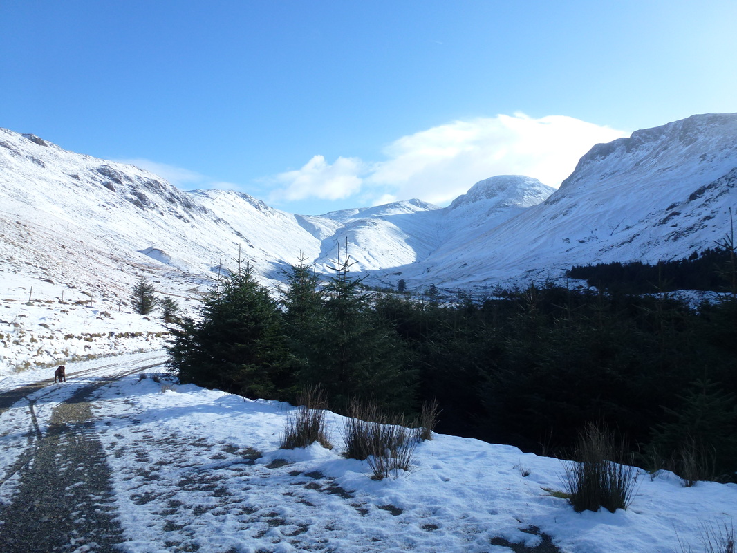
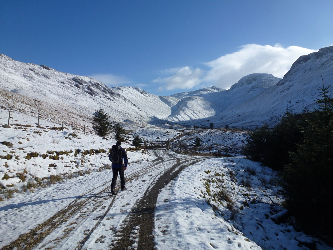
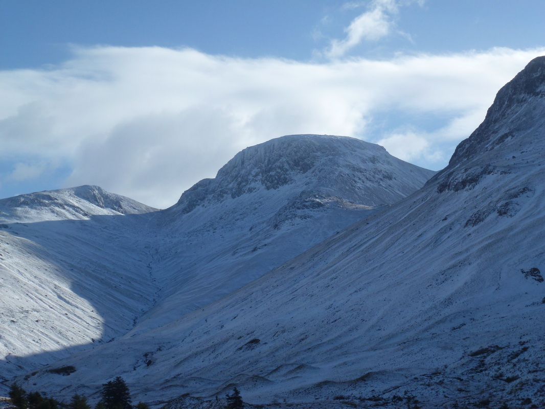
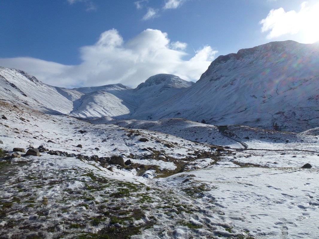
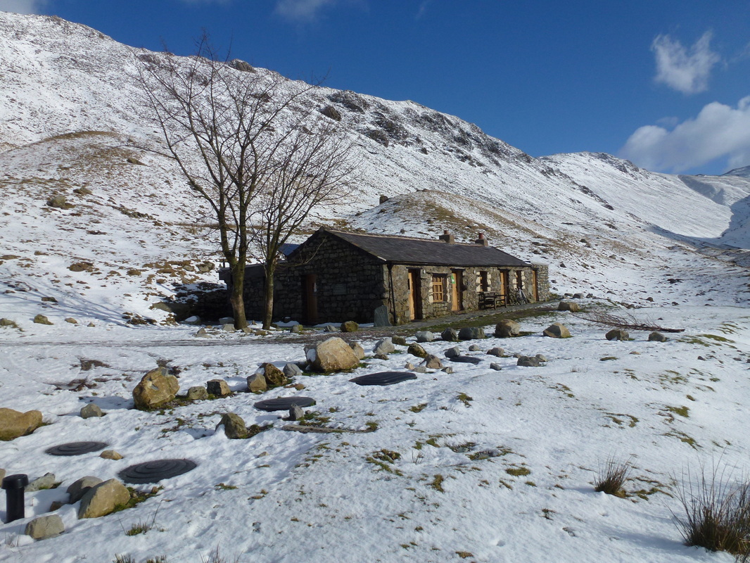
Emerging from the forest track there now opened up a superb view up the valley to Green Gable, Windy Gap, Great Gable & Kirk Fell and the snow on the tops added to the beauty of this area. There was now a short walk on a stony path to the Youth Hostel at Black Sail Hut - the hut is normally closed in the winter but was occupied by a group of friends who had hired it out for the weekend therefore we were able to go inside and eat our lunch in the company of one of the group who had not ventured out today.
Leaving the comfort of the hut we returned the 4 miles along the forest track to the stone bridge over the Liza - again this was not a boring trudge but an enjoyable ramble through a delightful area with subtle glimpses back towards the head of the valley and over to Pillar. We decided to take the South Shore path back to Bleach Green and rather regretted not going back along the North Shore again - the path became extremely busy with people although as always it was good to see people out enjoying the fresh air. Notwithstanding the busy path, the South shore is delightful and for the majority of the path hugs the shoreline, providing great views over to Crag Fell, around to Pillar and across to Great Borne & Bowness Knott.
We eventually reached Bleach Green and really did feel todays 16 odd miles in our legs but what a wonderful walk!
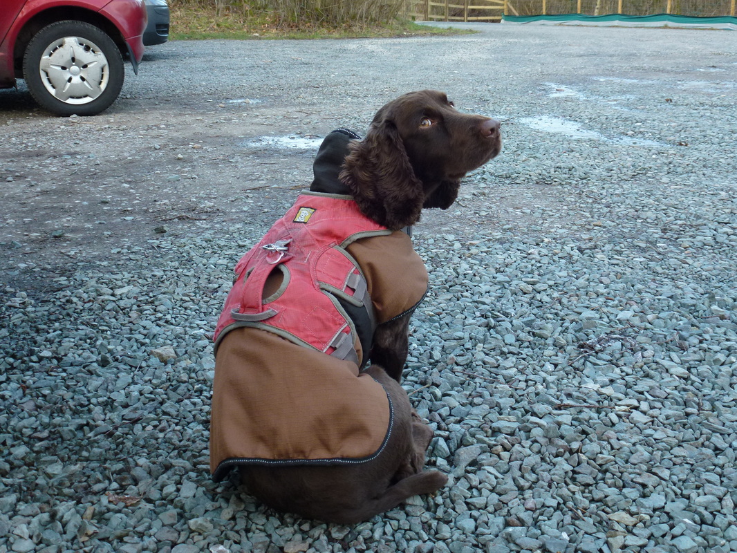
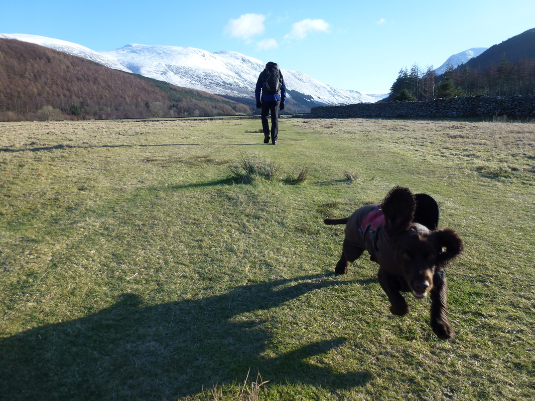
Fudge was not impressed when we put his "Emperor Ming" coat on him
The walk starts from the Bleach Green Car Park at the end of Ennerdale Water
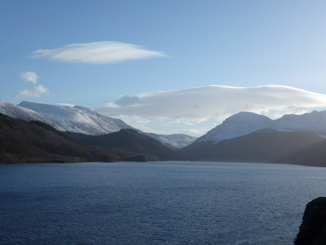
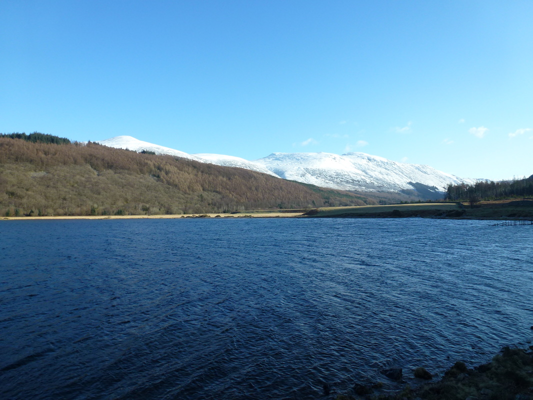
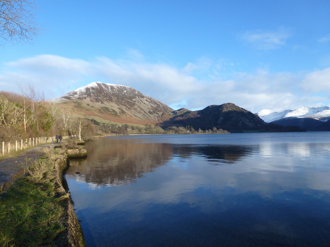
Looking across Ennerdale Water to Herdus, Great Borne & Bowness Knott
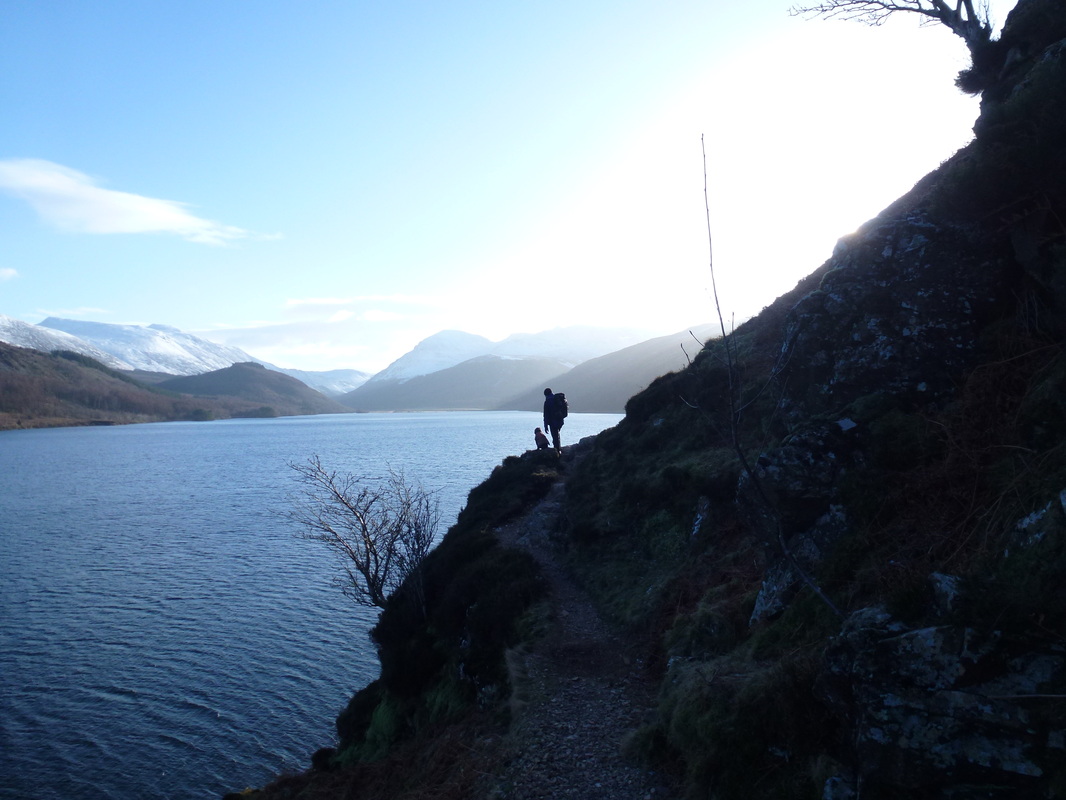
The path to Anglers Crag along the South Shore of Ennerdale Water.
There are several paths to follow here but the one we took was the Coast to Coast Path which handrails the waters edge
There are several paths to follow here but the one we took was the Coast to Coast Path which handrails the waters edge
Not too bad underfoot as we head towards Anglers Crag - the option to climb up to the crag can be taken by following the obvious path up
Robin Hood's Chair
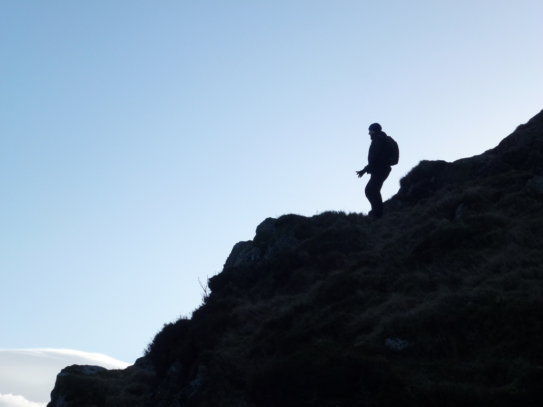
Angie silhouetted on Anglers Crag
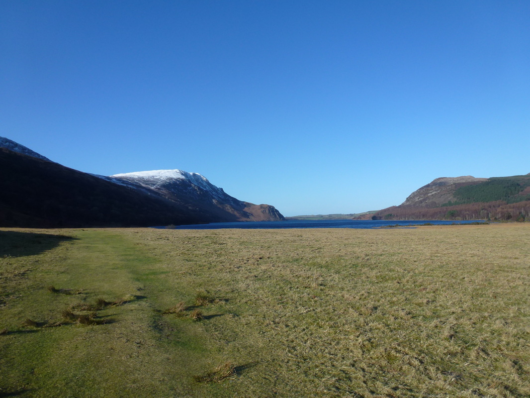
Looking down Ennerdale from Anglers Crag. The High Stile ridge is to the left with Pillar right
One man and his dog on Anglers Crag
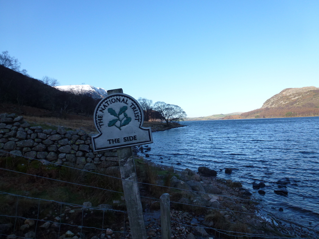
The area along the majority of the South Shore of Ennerdale Water is known as The Side
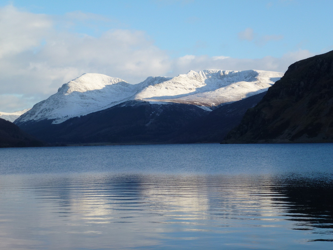
At the head of Ennerdale with Starling Dodd & the High Stile Ridge prominent
Bonkers
Looking back down Ennerdale Water to Crag Fell & Bowness Knott
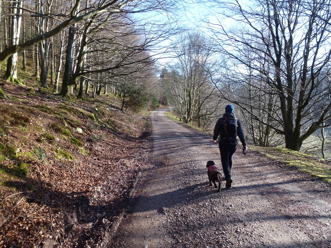
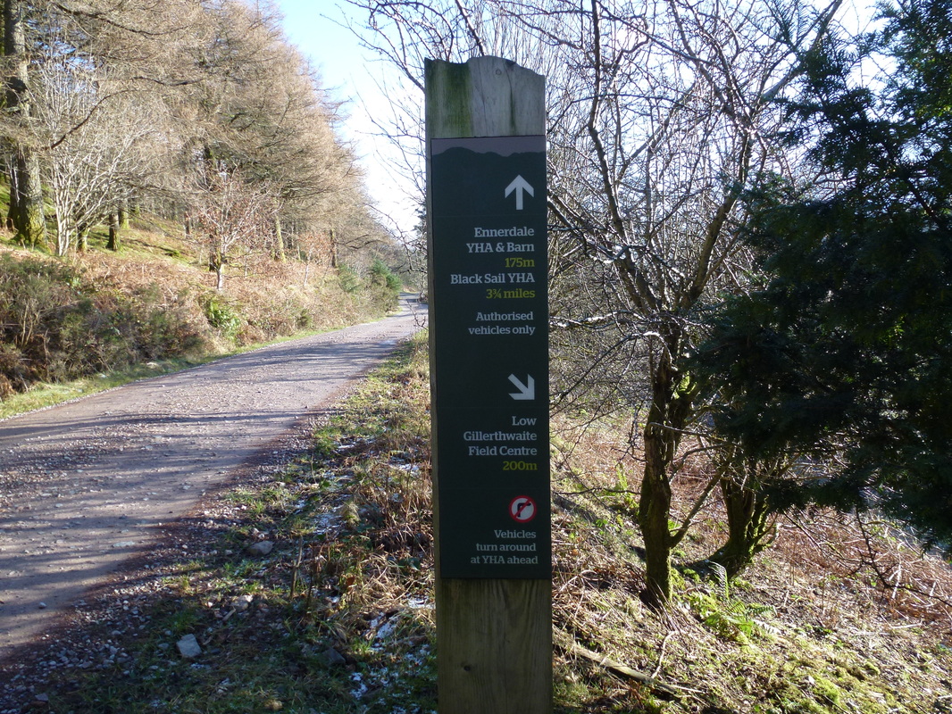
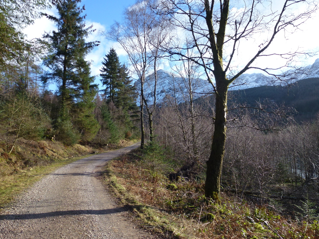
The forest track was our path for nearly 4 miles all the way to Black Sail ......
...... and here is the proof
At the end of the forest track this glorious view suddenly appears over to the Gables & Kirk Fell
Almost at Black Sail - what a great day to be out in this beautiful area
Close up on Green Gable, Windy Gap & Great Gable
Could not resist another one of these - fantastic view from Black Sail
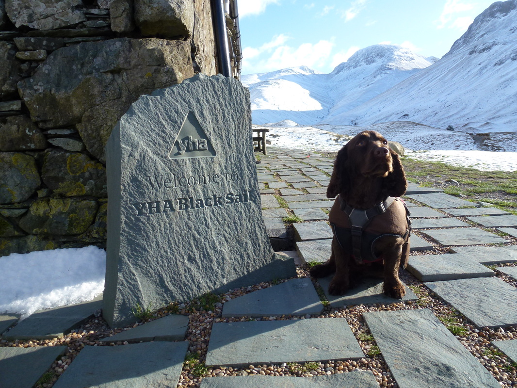
Whats that say Dad?
Black Sail - available to hire in the winter apparently
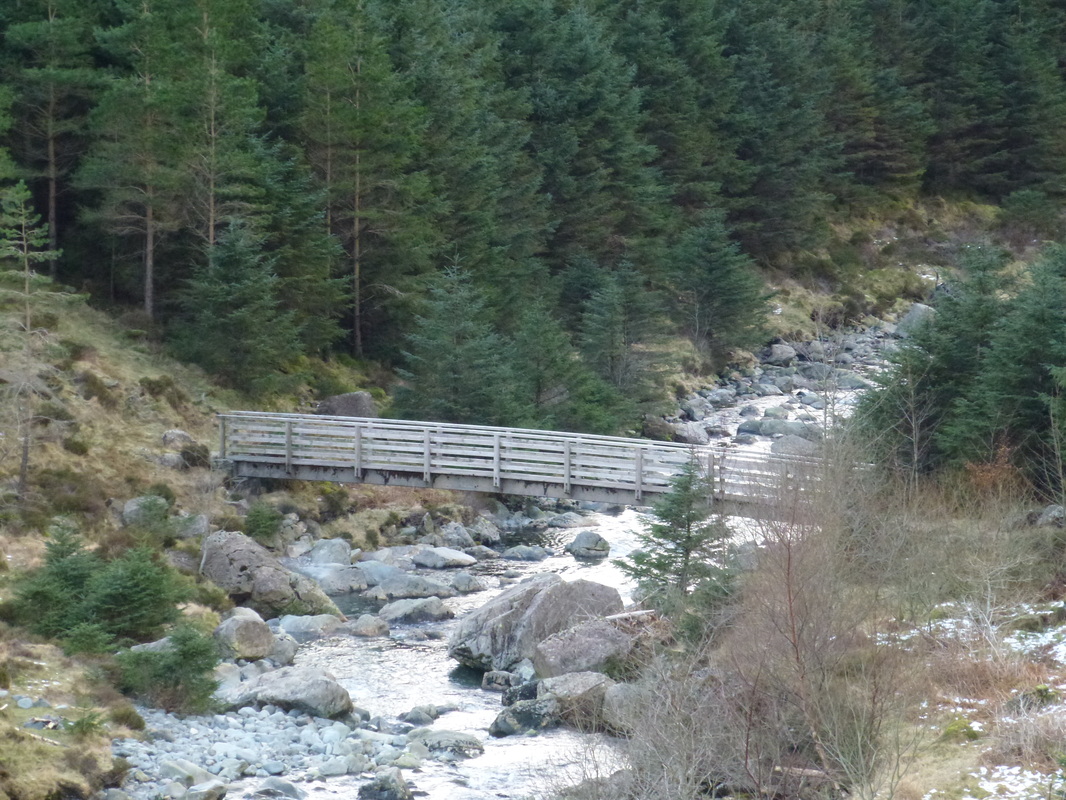
The Memorial Bridge over the River Liza - reconstructed in 1959 by members of the Fell & Rock Climbing Club to honour its fallen in WWII
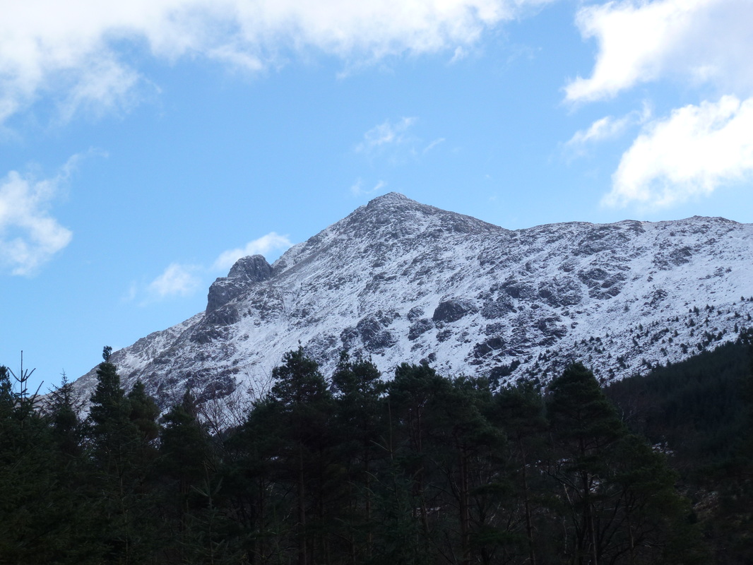
Pillar & Pillar Rock
Looking back down the forest track to Pillar
Herdus & Bowness Knott from the North Shore path
Pillar, Scoat Fell & Steeple
A last look down Ennerdale - superb
