Tal y Fan, Carnedd Ddelw, Drum & Pen y Castell - Saturday 5 March 2016
Route
Cae Coch - Tal y Fan - Foel Lwyd - Bwlch y Ddeufaen - Carnedd y Ddelw - Drum - Pen y Castell - Craig Cefn Coch - Bron-y-Gadair - Cae Coch
Parking
Verge parking on the minor road leading from the Conwy Valley to the south of Tal Y Fan 1.5 miles west from the village of Rowen - Grid Ref SH 7321 7147. Nearest postcode LL32 8UR. If the verge parking is full then there is a Car Park 3/4 of a mile to the west.
Mileage
9.5 miles
Terrain
Deep snow in part with vague paths on the ground which made progress slow at times. Without snow and in good visibility the route is easy to follow. Some road walking (2 miles) on quiet lanes from Bron-y-Gadair to the finish at Cae Coch.
Weather
Overcast all day with poor visibility for the majority of the walk. It should be stressed that the ability to navigate in low cloud is a must on any mountain walk.
Time Taken
6hrs 50mins
Total Ascent
3172ft (967m)
Map
OL17 - Snowdon & Conwy Valley
Walkers
Dave, Angie & Fudge with Lee, Karen & Foz
|
GPX File
|
| ||
If the above GPX file fails to download or presents itself as an XML file once downloaded then please feel free to contact me and I will send you the GPX file via e-mail.
Route Map
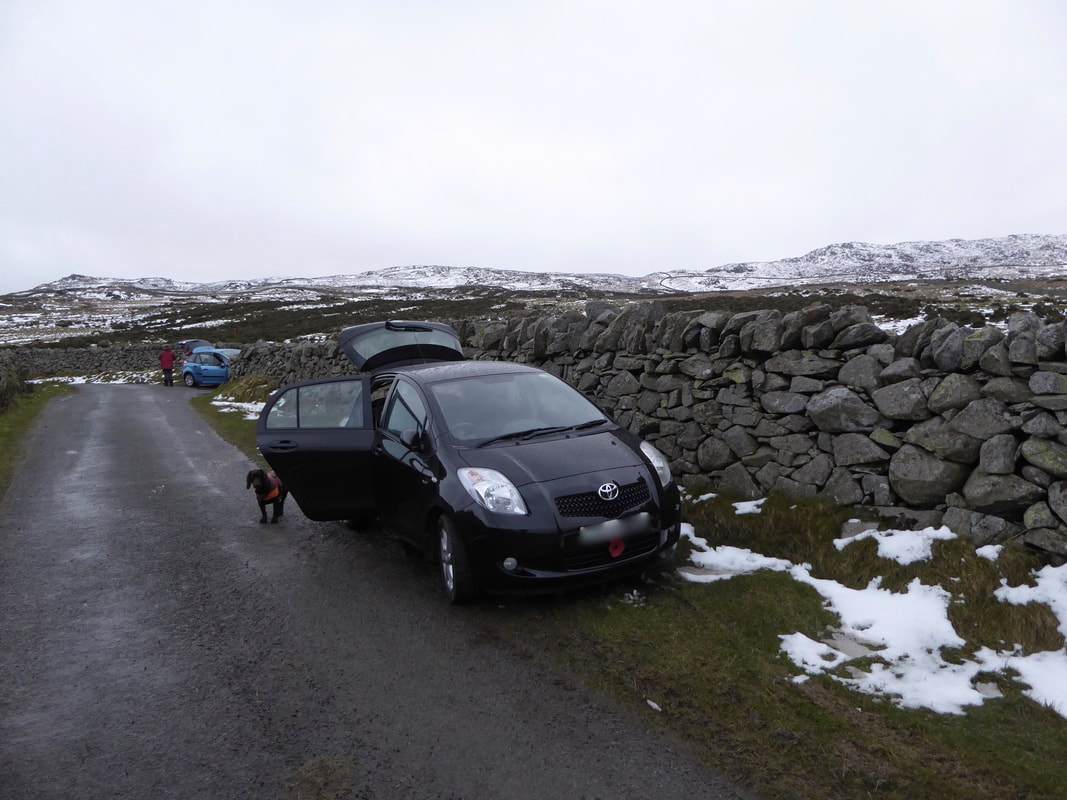
As stated above the verge parking is a mile and a half west of Rowen.
However if you turn left at the top of the road in the picture then there is a Car Park 3/4 of a mile away at the end of the road.
However if you turn left at the top of the road in the picture then there is a Car Park 3/4 of a mile away at the end of the road.
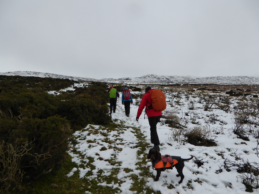
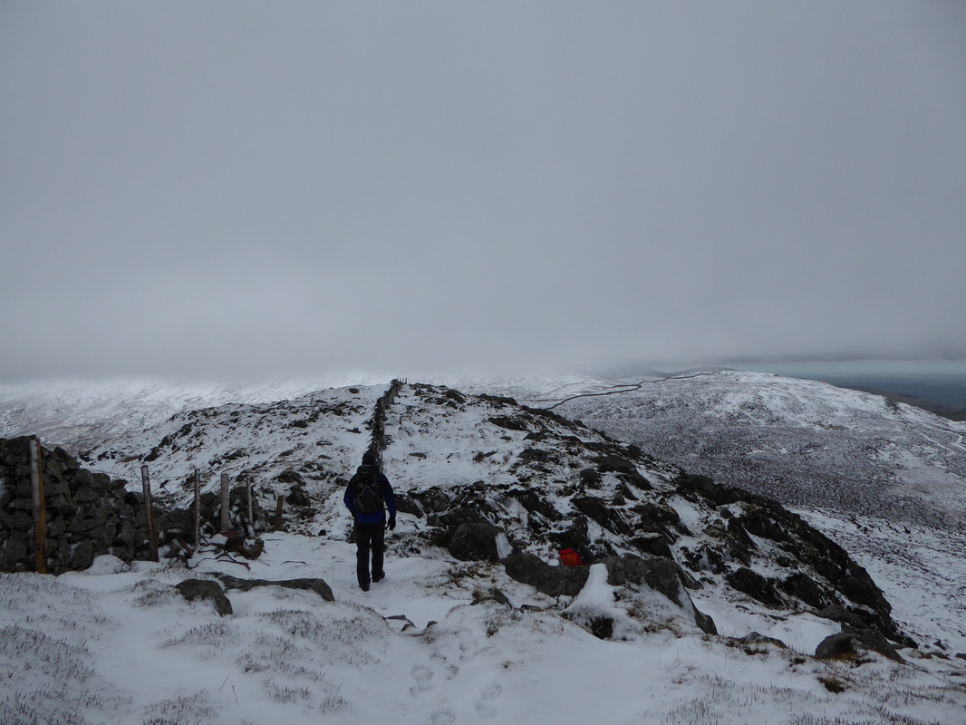
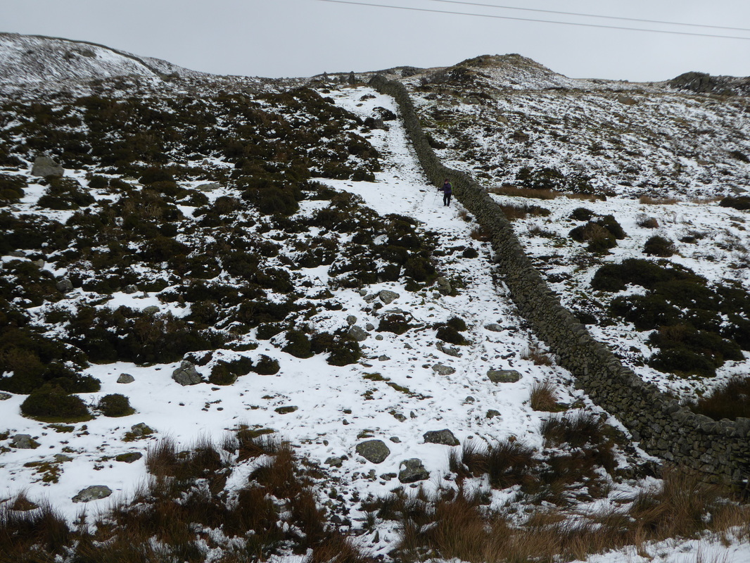
The route heads gently uphill through gorse bushes before turning right at the col ahead to join a wall which can just about be seen centre left
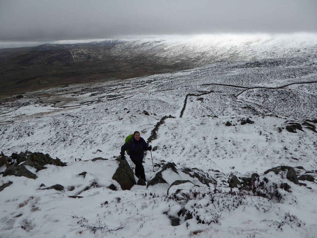
Ascending the western ridge of Tal y Fan - once the wall is reached it is a simple case of crossing it via a ladder stile and following it to reach the summit
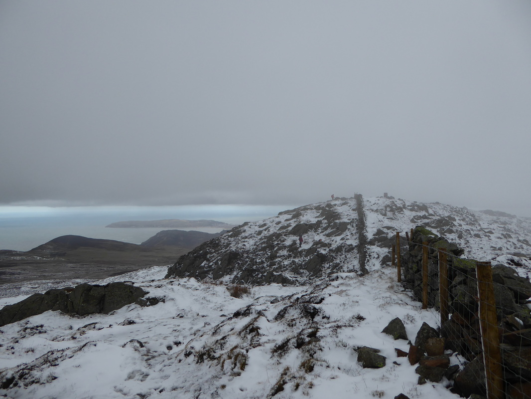
Despite the murkiness of the day the visibility was surprisingly good as the summit of Tal y Fan came into view
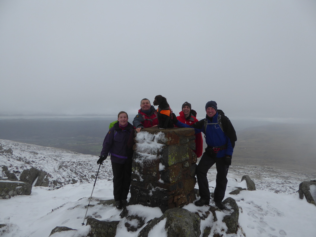
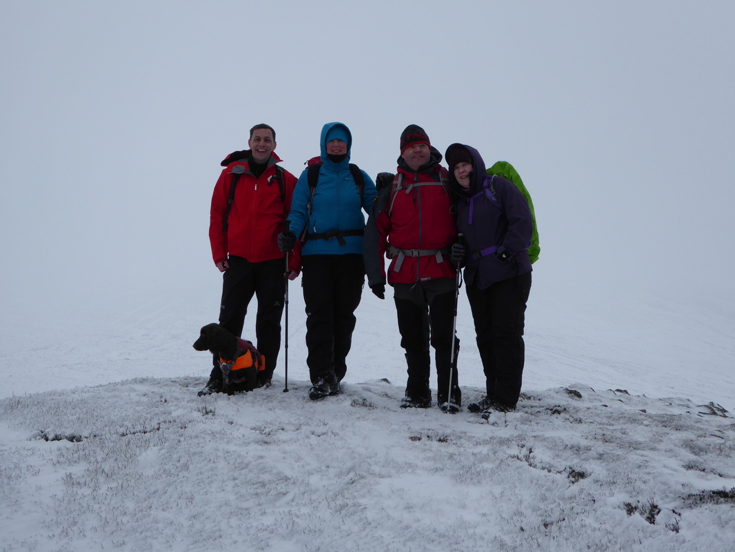
Happy smiling faces on the summit of Tal y Fan (End Peak) - the most northerly of the Welsh Mountains.
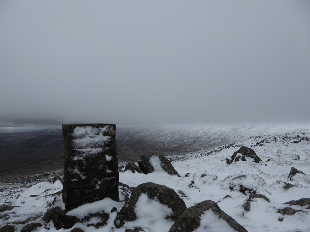
The summit Trig Point lies on the southern side of the wall and is crossed via a stile.
The summit Trig Point lies on the southern side of the wall and is crossed via a stile.
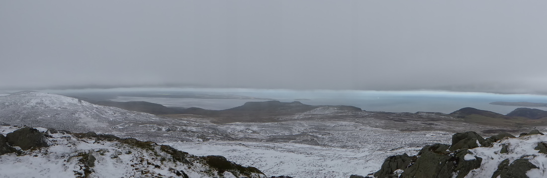
A summit panorama from Tal y Fan looking towards Anglesey
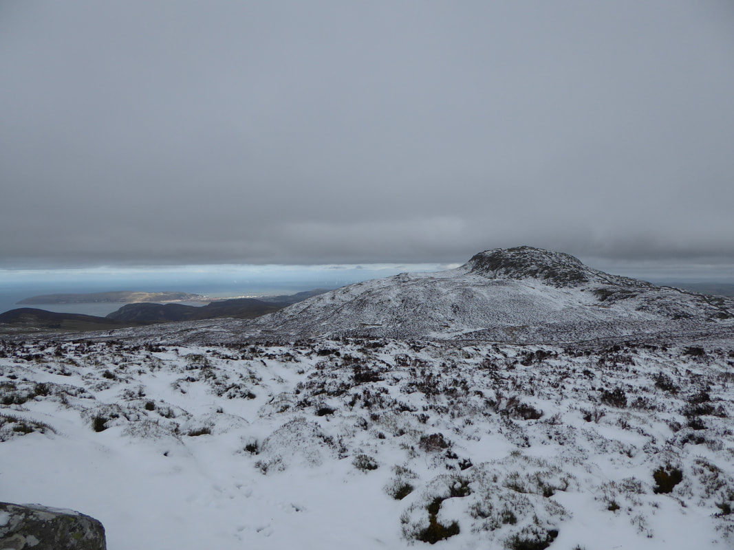
The summit of Tal y Fan looking south west to Drum which is ominously under cloud
Re-crossing the wall we retraced our steps back to the col.
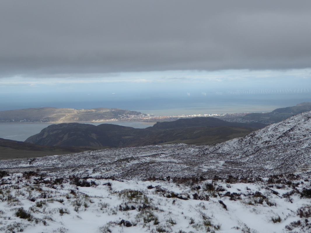
On the summit of Foel Lwyd the visibility improved to reveal the Great Orme, Llandudno & Conwy Mountain
Tal y Fan from Foel Lwyd
The steep descent to Bwlch y Ddeufaen
Descending from Foel Lwyd to Bwlch y Ddeufaen.
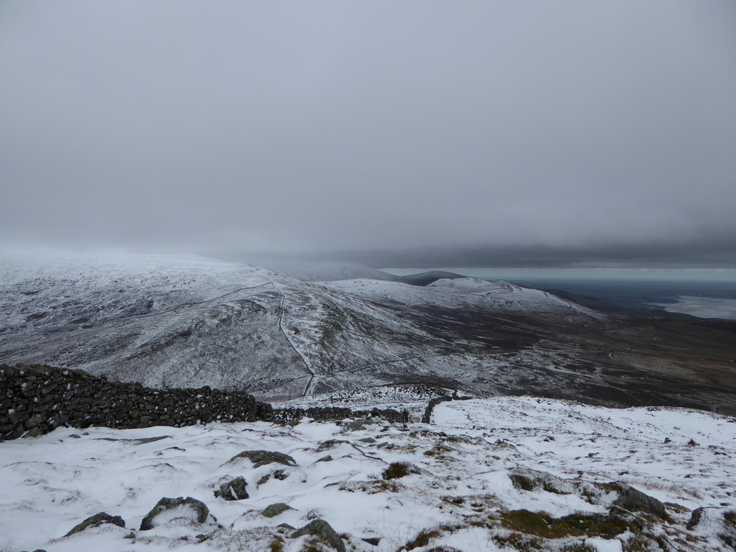
From the Bwlch the ascent to the summit of Carnedd y Ddelw is a climb of 1000ft
From the Bwlch the ascent to the summit of Carnedd y Ddelw is a climb of 1000ft

A Snowboarder came whizzing past us as we look back to Foel Lwyd with Tal y Fan to the right
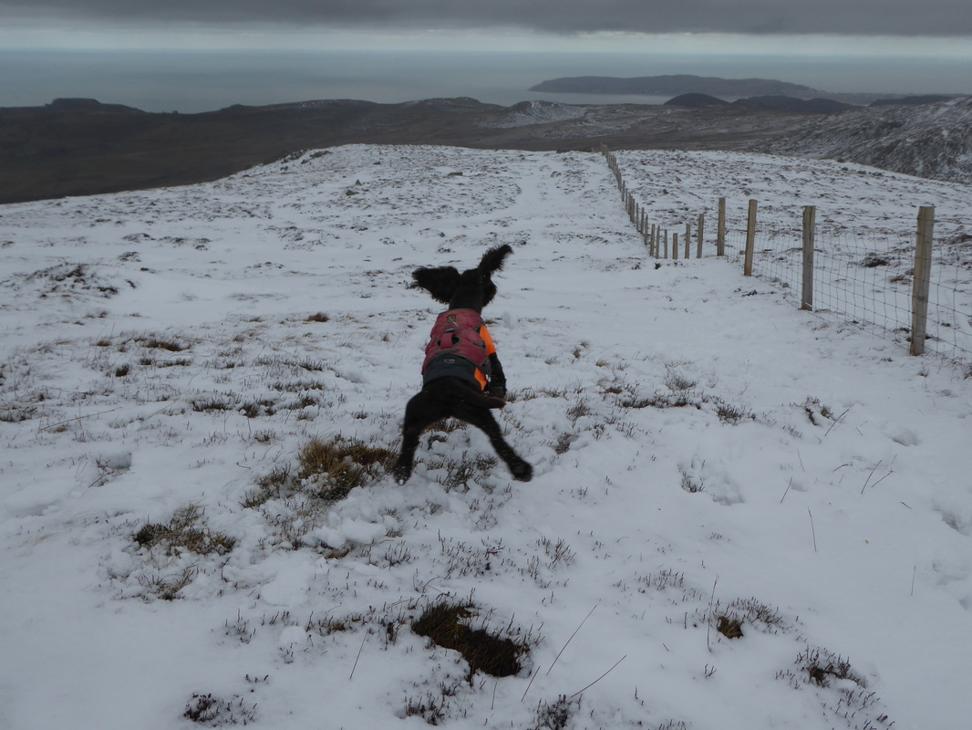
As you can see Fudge was overjoyed to get a view of the Great Orme once more
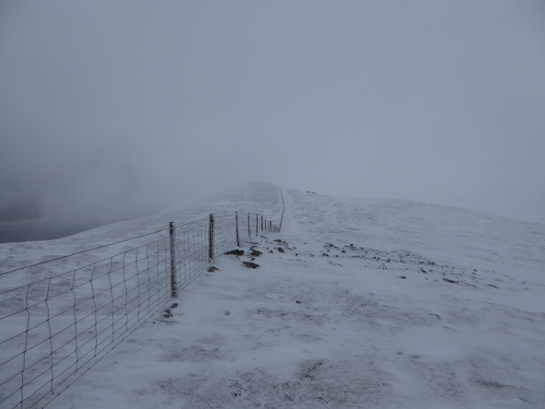
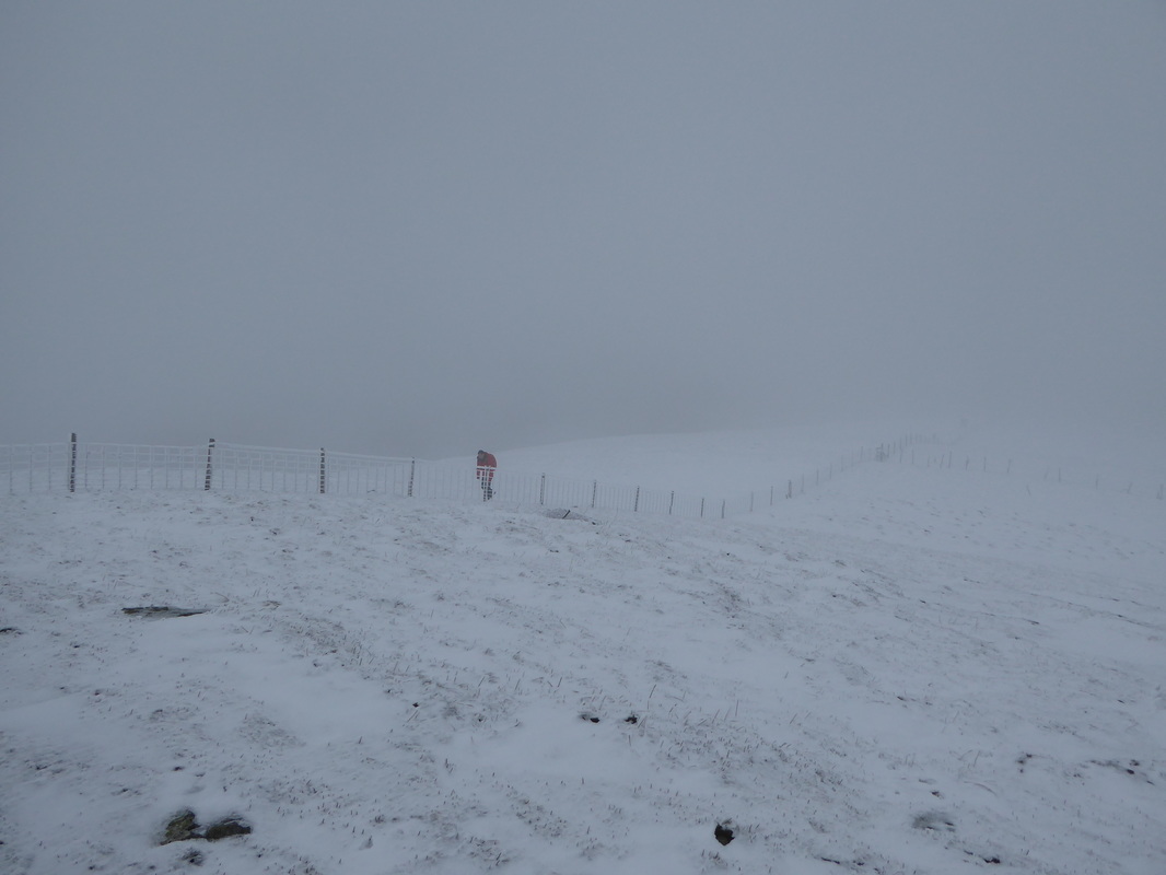
The ascent to Carnedd y Ddelw. By now the visibility was starting to deteriorate.
Nearing the summit of Carnedd y Ddelw - thankfully the gradient eases as the top is approached
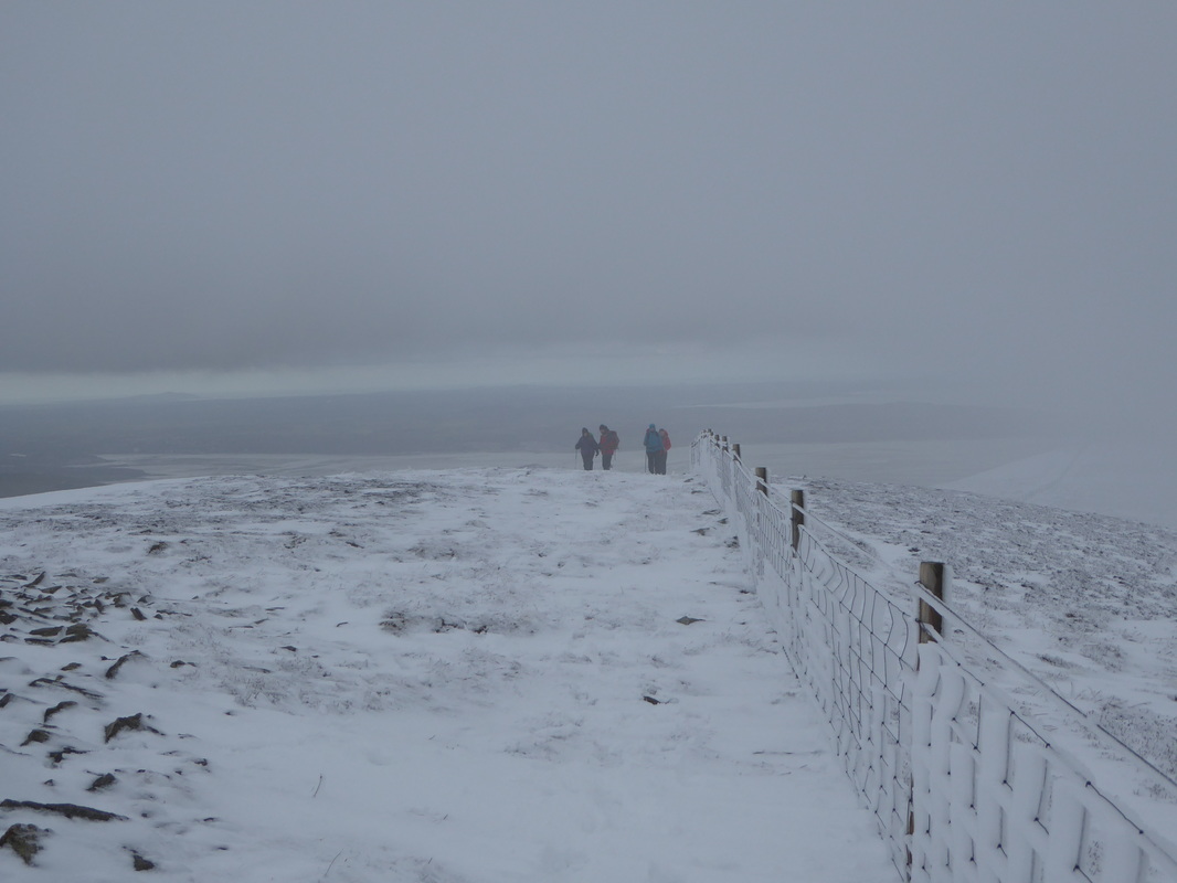
Up on the summit of Carnedd y Ddelw (Cairn of the Idol) - although to be honest we could have been anywhere such was the visibility!
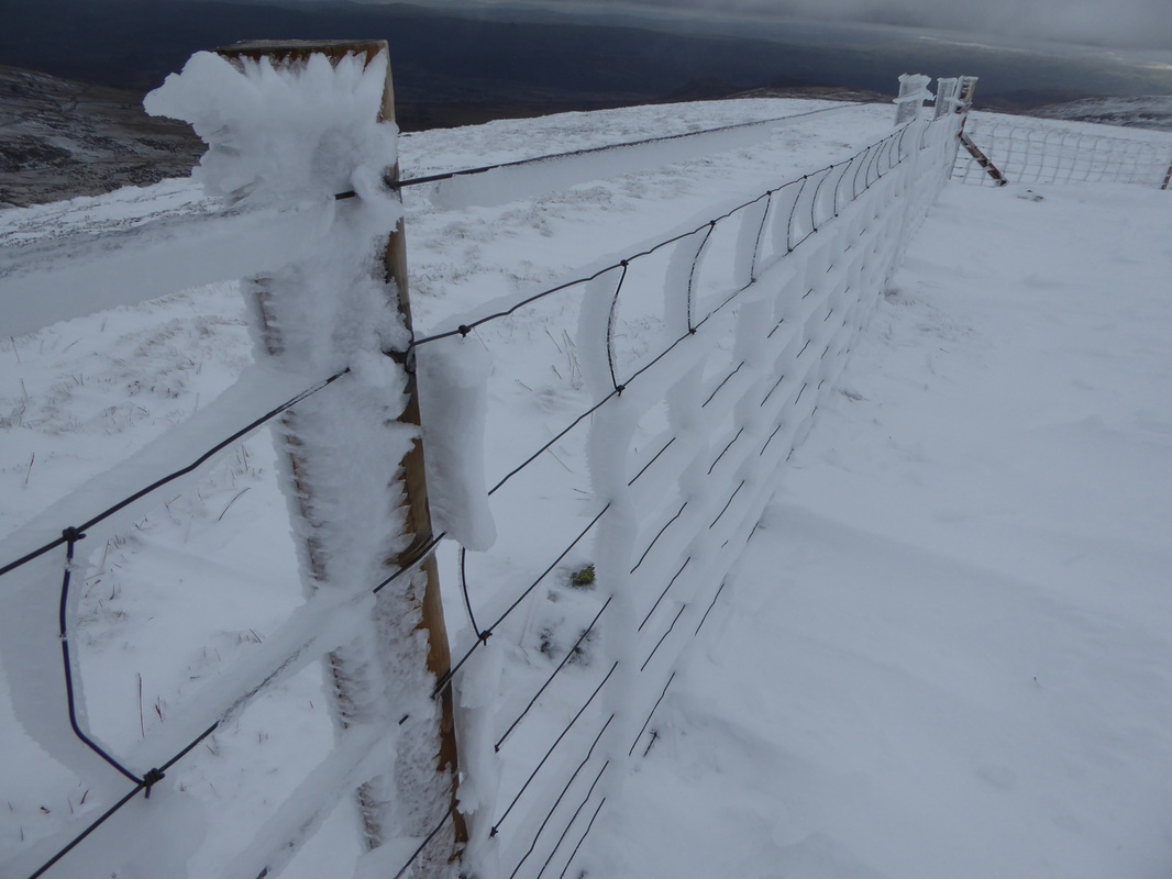
As can be seen from the ice clinging to the fence it had clearly been a bit nippy up here
Foz blowing for tugs as we near the summit of Drum
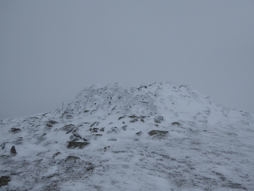
The hollowed out ancient cairn of Carnedd Penydorth-goch which marks the summit of Drum
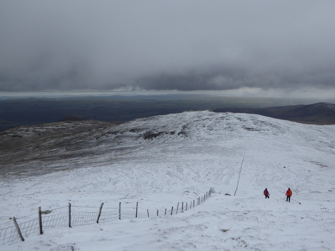
From Drum the route descends steeply towards Pen y Castell (Top of the Castle)
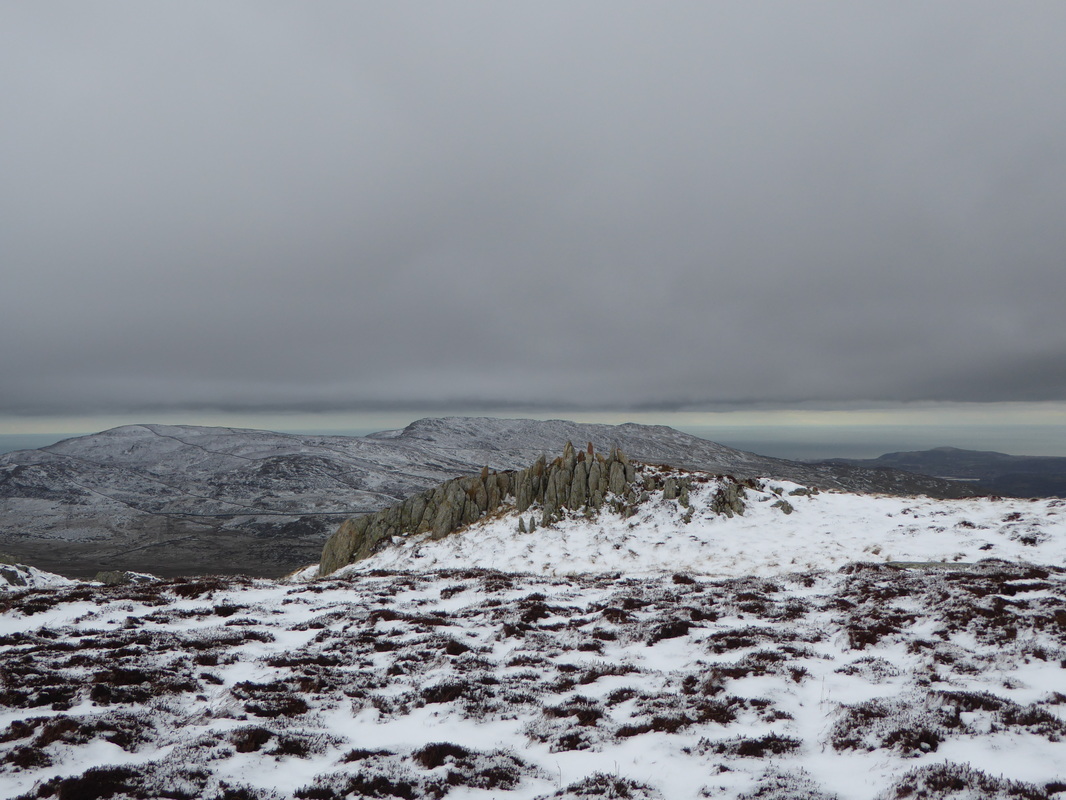
A rock outcrop on the summit of Pen y Castell looking to Tal y Fan
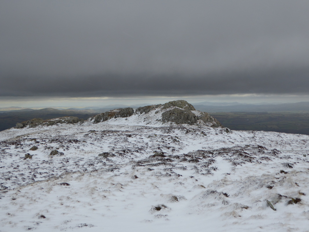
The summit of Pen y Castell
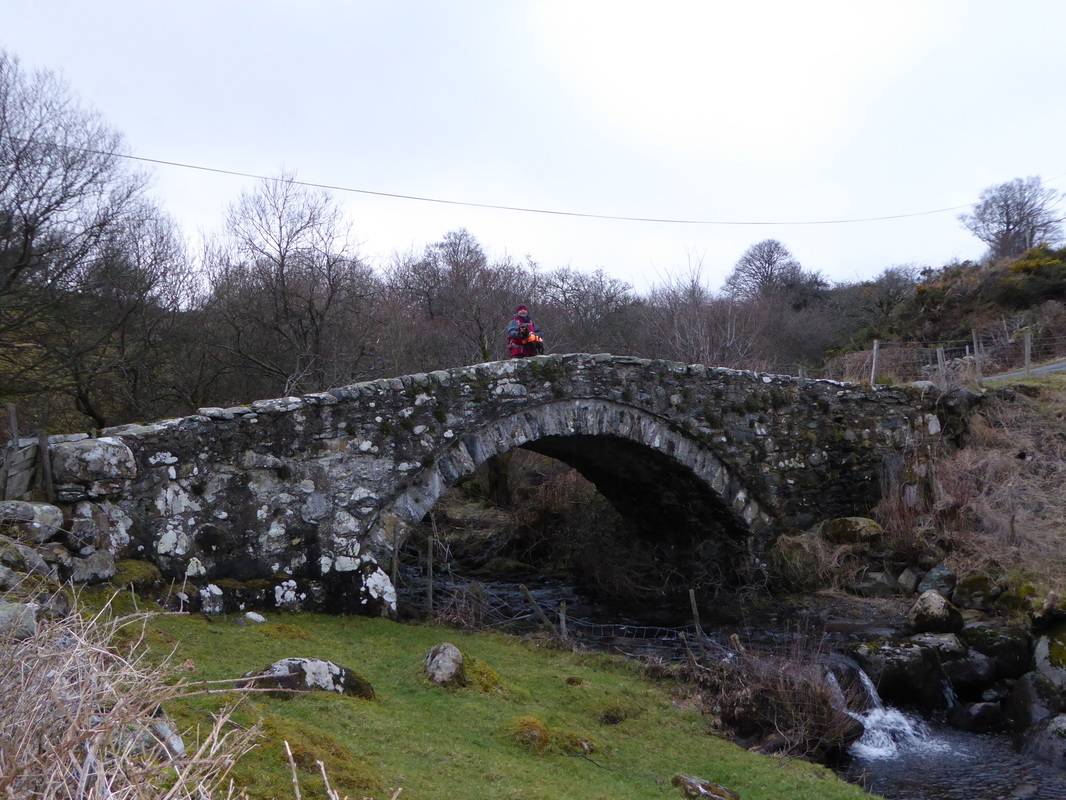
The last 2 miles are along a very quiet lane which crosses the Afon Tafolog via this lovely bridge