Coledale Horseshoe - Monday 11 February 2019
Route
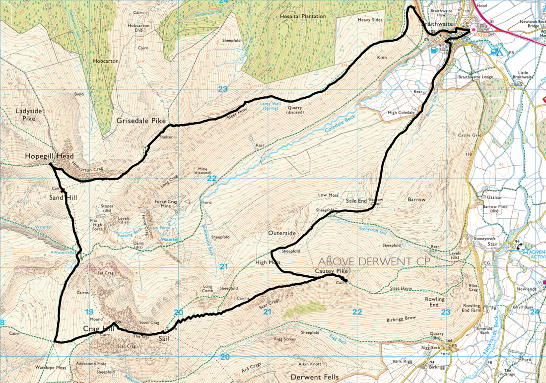
Braithwaite - Kinn - Sleet How - Grisedale Pike - Hobcarton Crag - Hopegill Head - Sand Hill - Coledale Hause - Crag Hill - The Scar - Sail - Sail Pass - Scar Crags - Causey Pike - High Moss - Barrow Door - High Coledale - Coledale - Braithwaite
Parking
On road parking in Braithwaite - Nearest Postcode is CA12 5SY.
Mileage
11 Miles
Terrain
Good mountain paths throughout.
Weather
Perfect - light breezes with excellent visibility. There was a light dusting of snow and winter kit was carried but not required.
Time Taken
6hrs 30mins
Total Ascent
3343ft (1019m)
Wainwrights
6
Map
OL4 - The English Lakes (North Western Area)
Walkers
Dave, Angie & Fudge
|
GPX File
|
| ||
If the above GPX file fails to download or presents itself as an XML file once downloaded then please feel free to contact me and I will send you the GPX file via e-mail.
Route Map
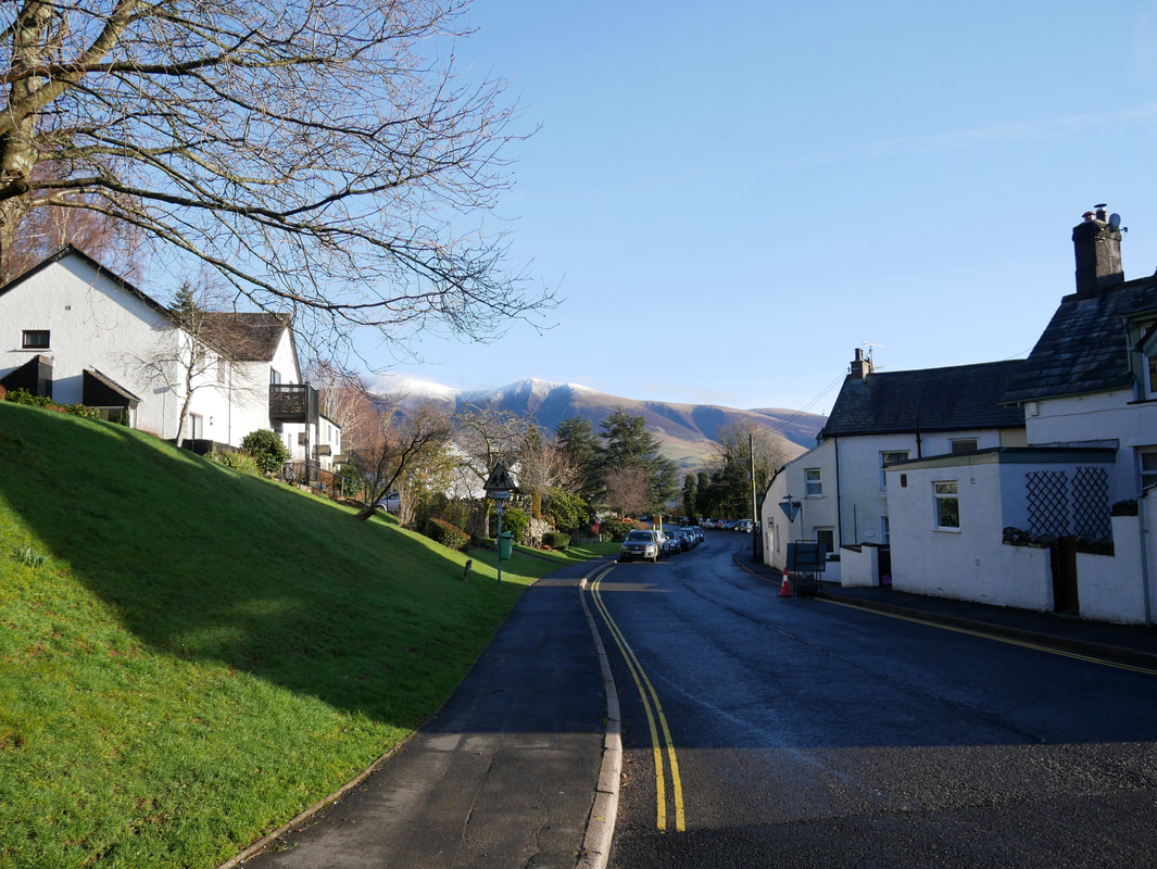
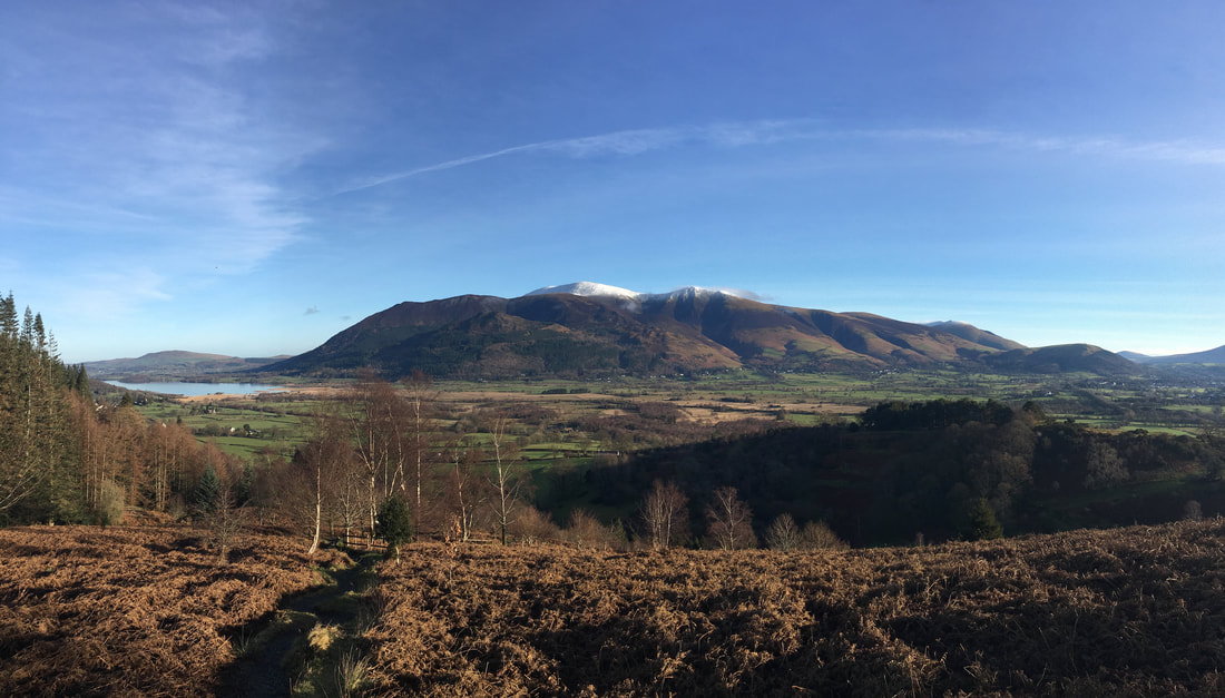
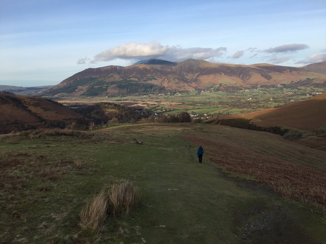
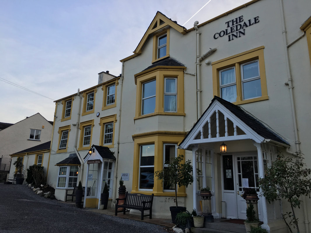
The lovely village of Braithwaite with the Skiddaw range to the rear. There is parking in the village along the roadside but please be considerate.
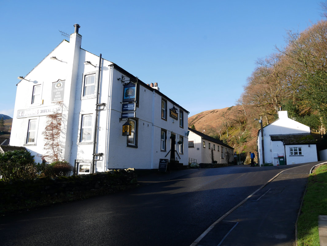
The Royal Oak in Braithwaite - one of three very good pubs in the village
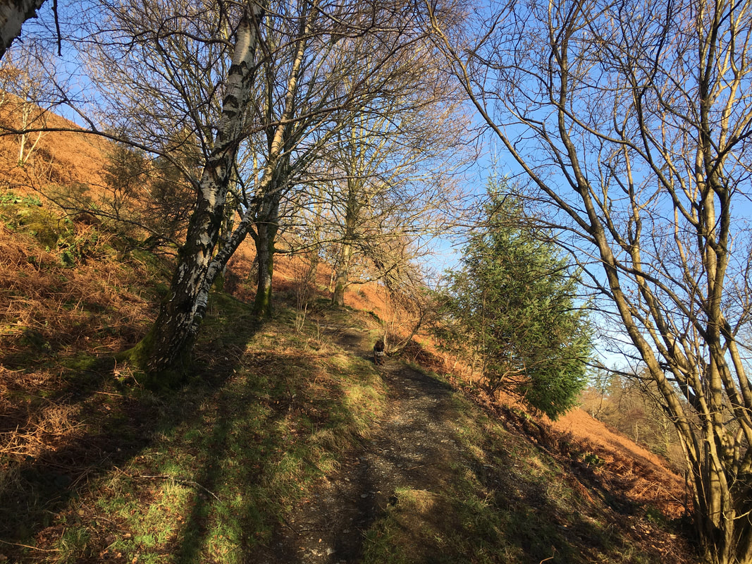
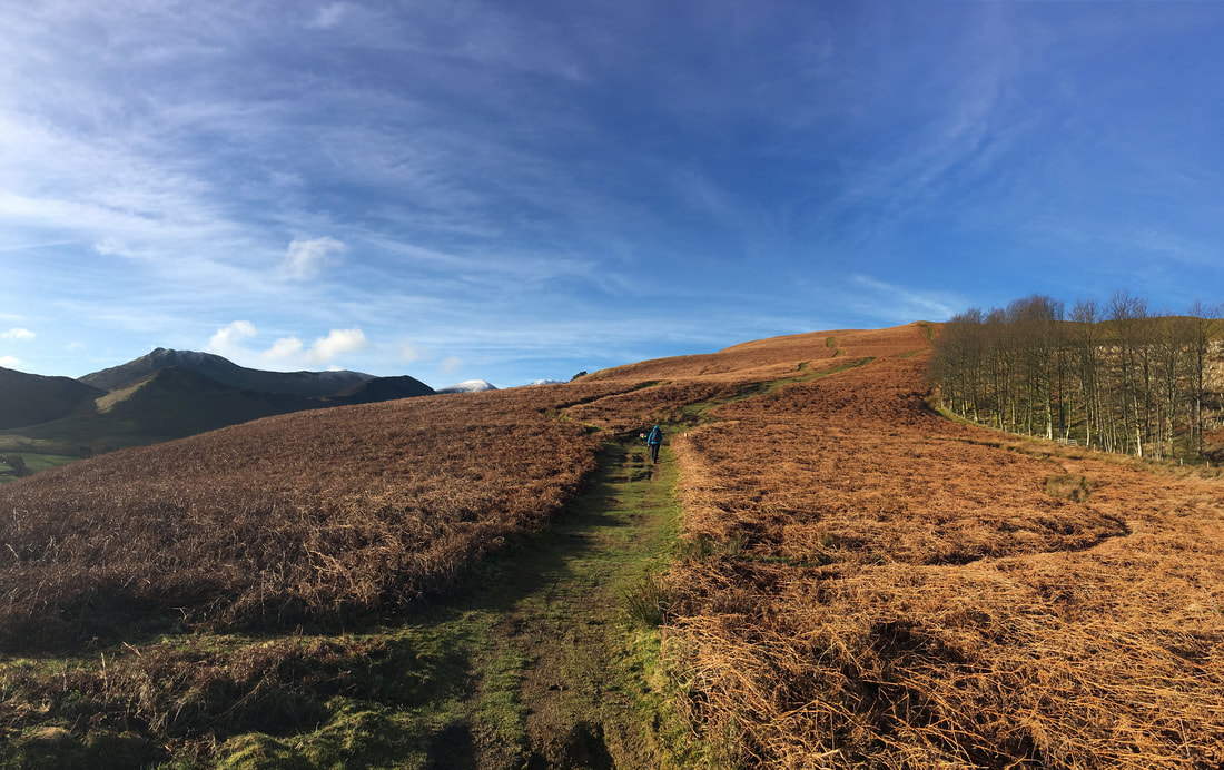
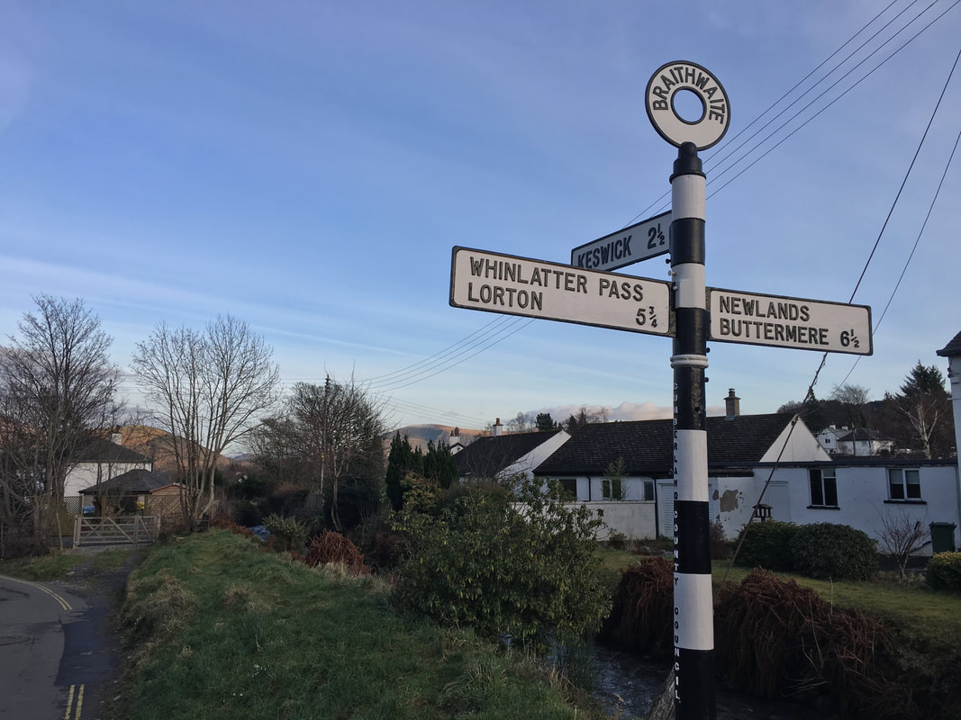
The route heads gently out of Braithwaite towards the Whinlatter Pass where a fingerpost on the left gives access to this woodland path.
The climbing through the woods is steep and leads to the north eastern end of Kinn.
The climbing through the woods is steep and leads to the north eastern end of Kinn.
Once out of the woodland the gradient eases and we could now look back to this wonderful view. To the left Binsey sits above Bassenthwaite Lake with a myriad of fells sweeping away to the right - Ullock Pike, Long Side, Dodd, Carl Side, Skiddaw, Lonscale Fell, Blencathra & Latrigg
The ascent of Kinn is on a carpet of grass
Up on the summit of Kinn looking to Outerside, Scar Crags, Sail, Crag Hill, Eel Crag & Grasmoor. To the extreme right is Sleet How & Grisedale Pike - we were off there next.
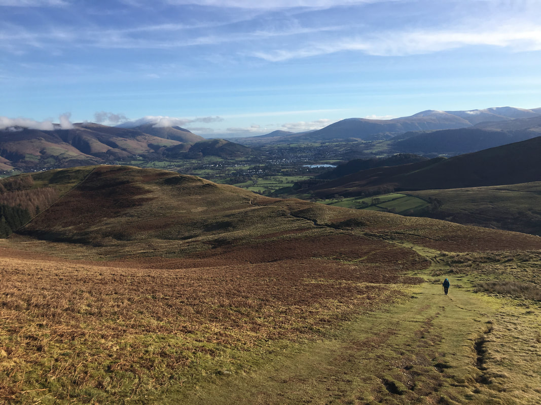
The lower slopes of Sleet How looking to Kinn with Keswick below. In the far middle distance is Great Mell Fell with Clough Head and The Dodds to the right.
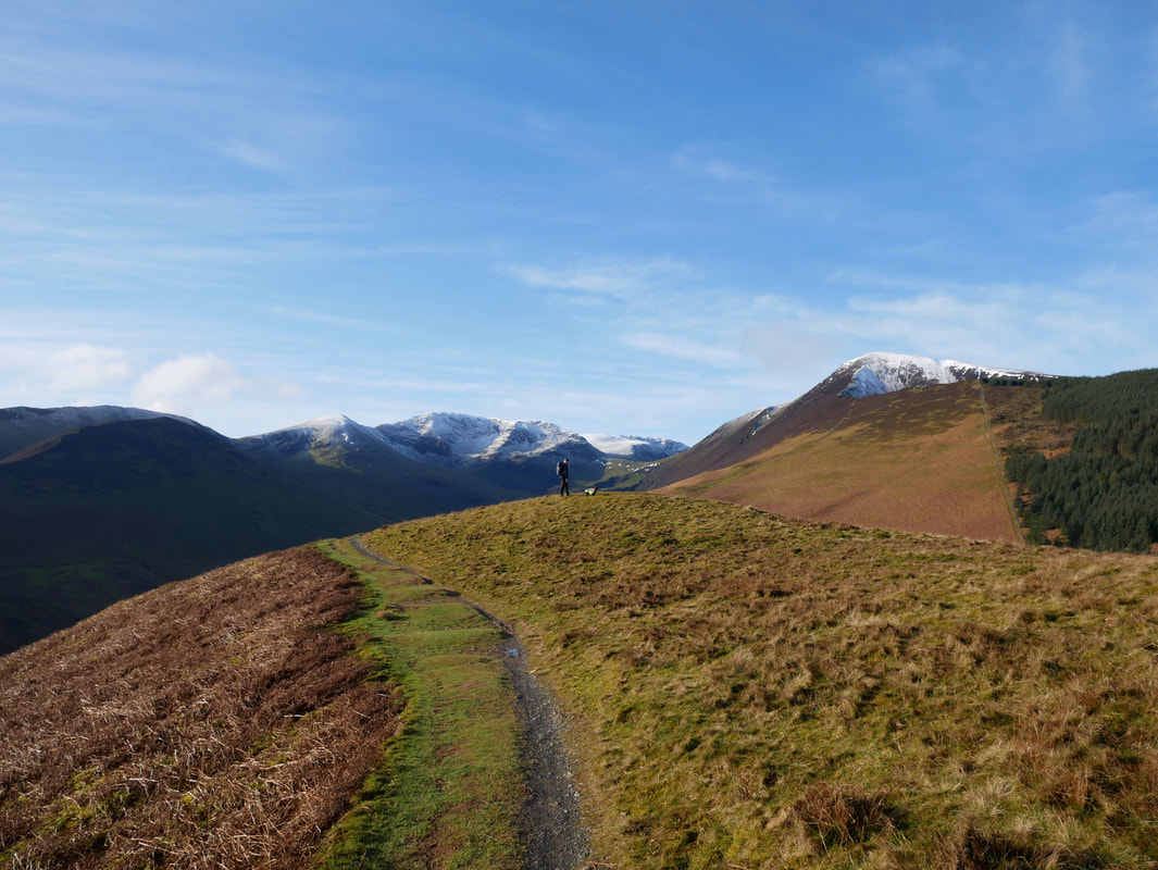
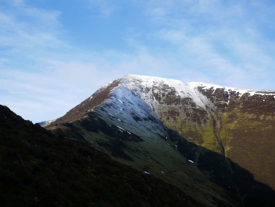
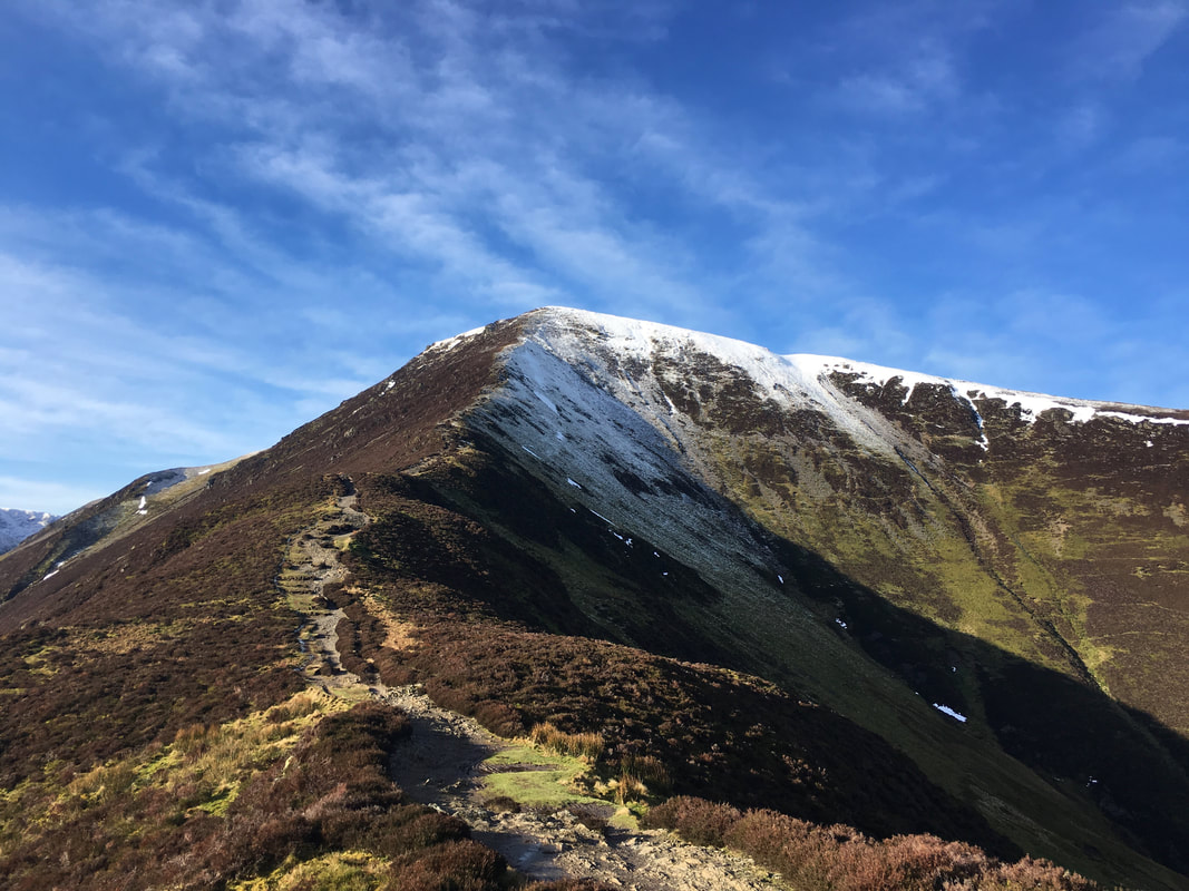
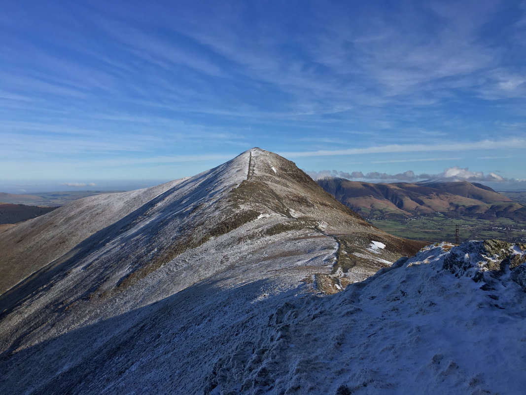
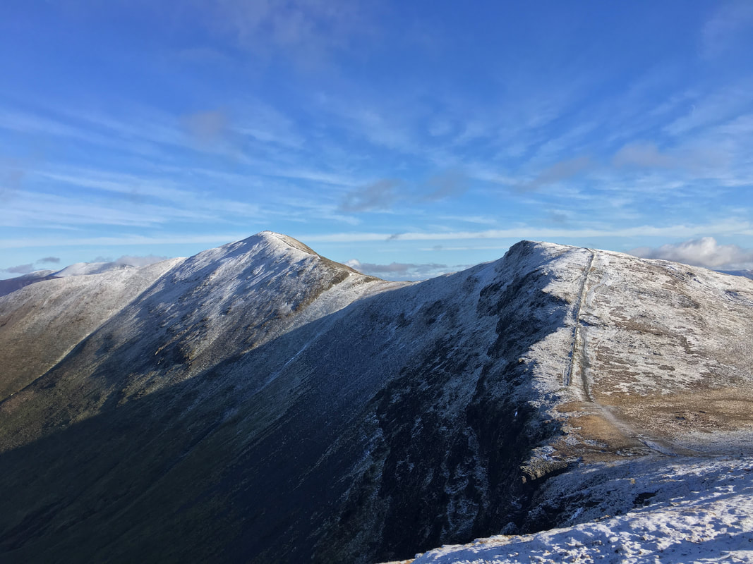
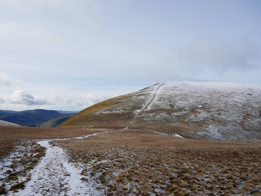
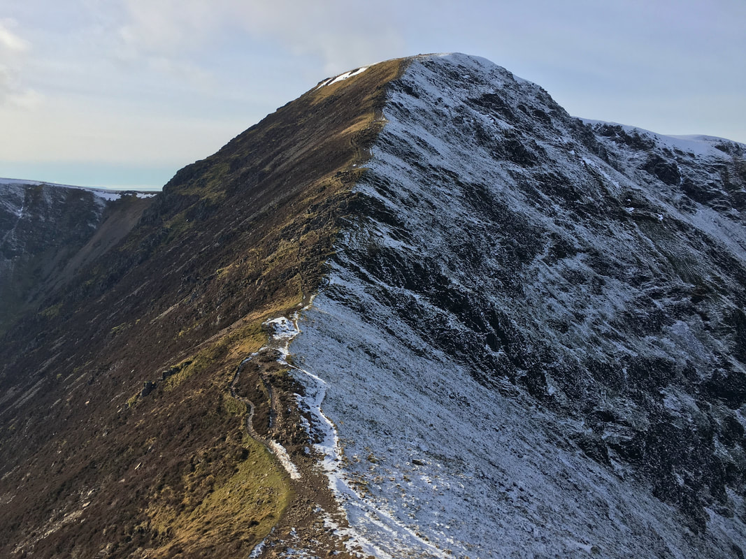
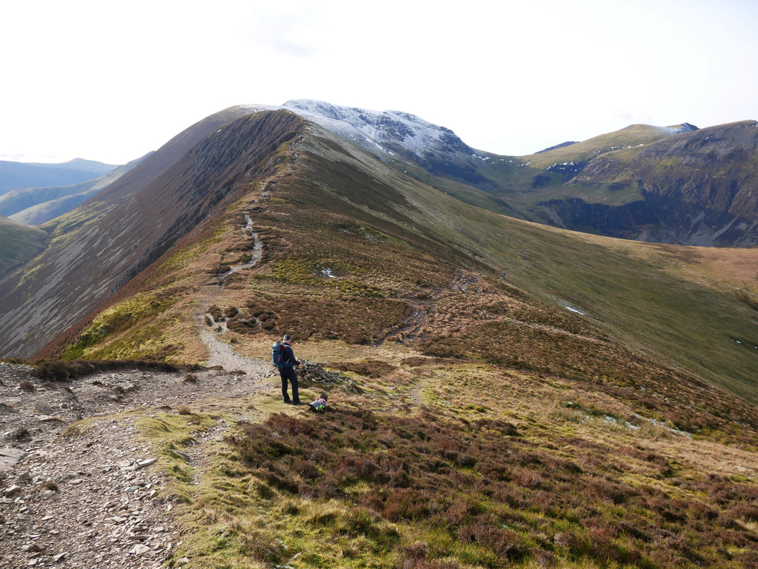
The final climb to Grisedale Pike appears to be a bit "knife edge" but looks can be deceiving.
The final approach to Grisedale Pike - if there is a lot of snow on the ground then keep well over to the left of the path
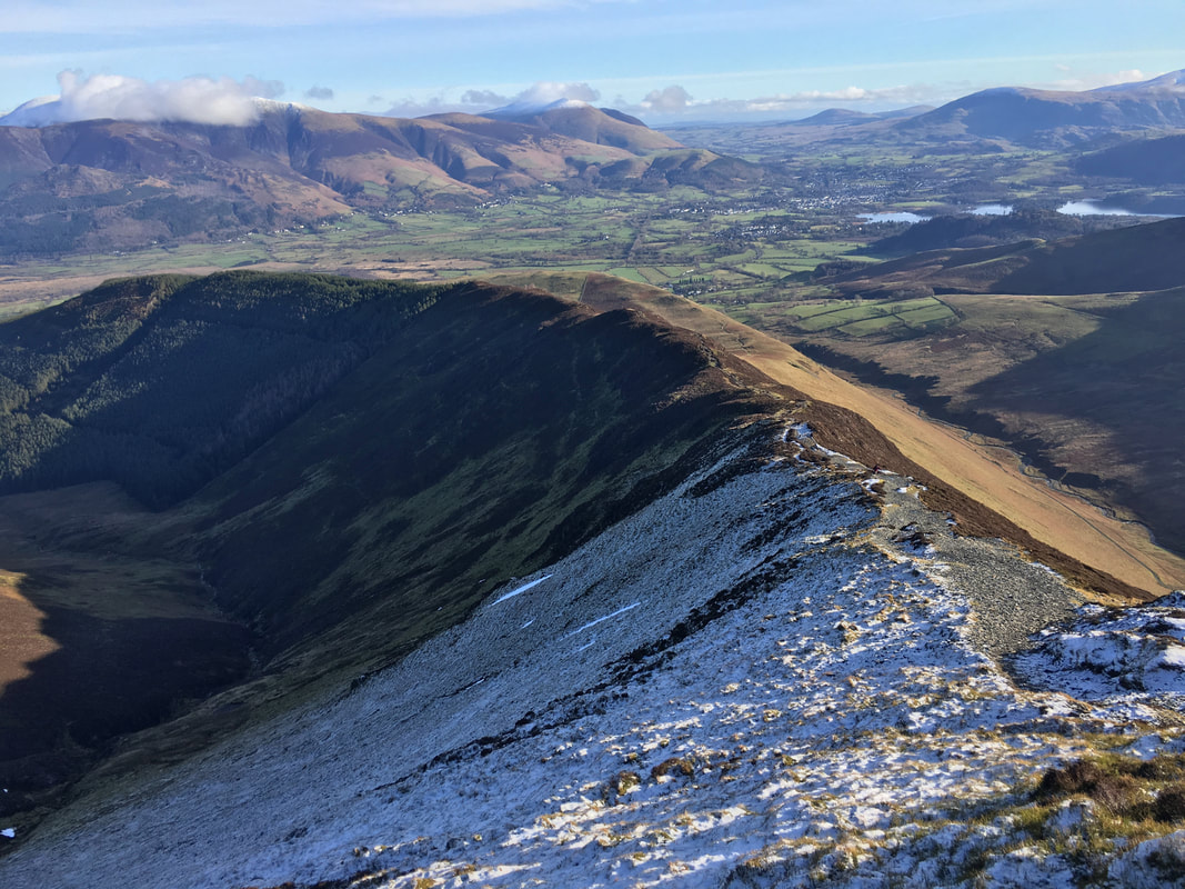
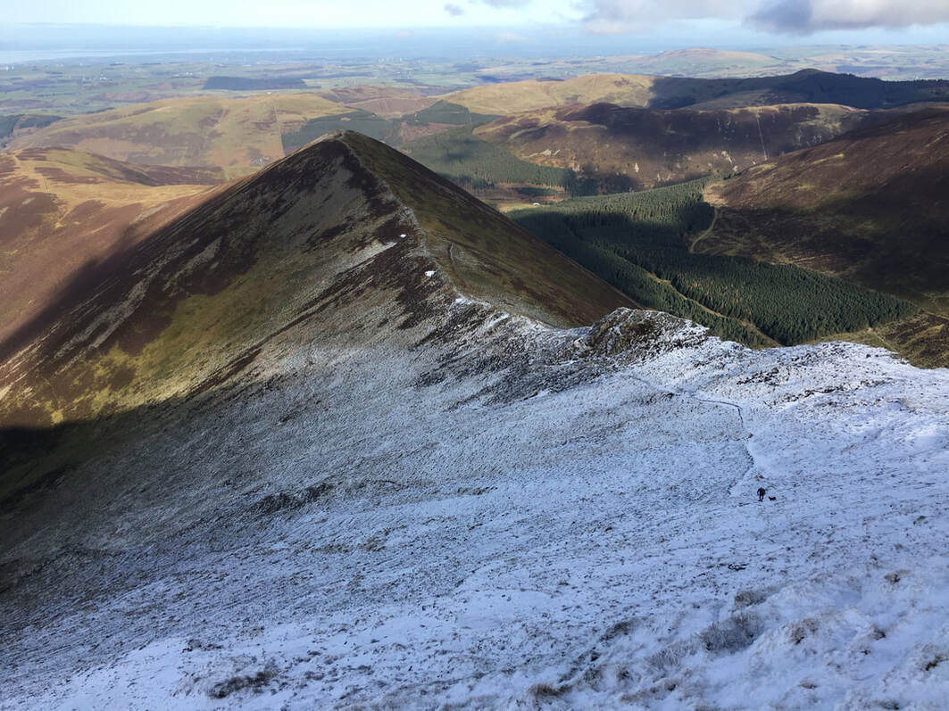
Looking back down Sleet How from the final approach to Grisedale Pike
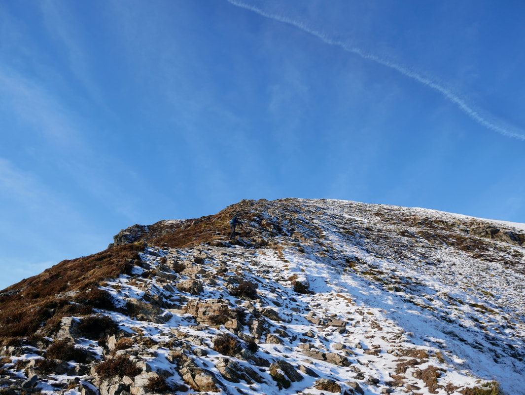
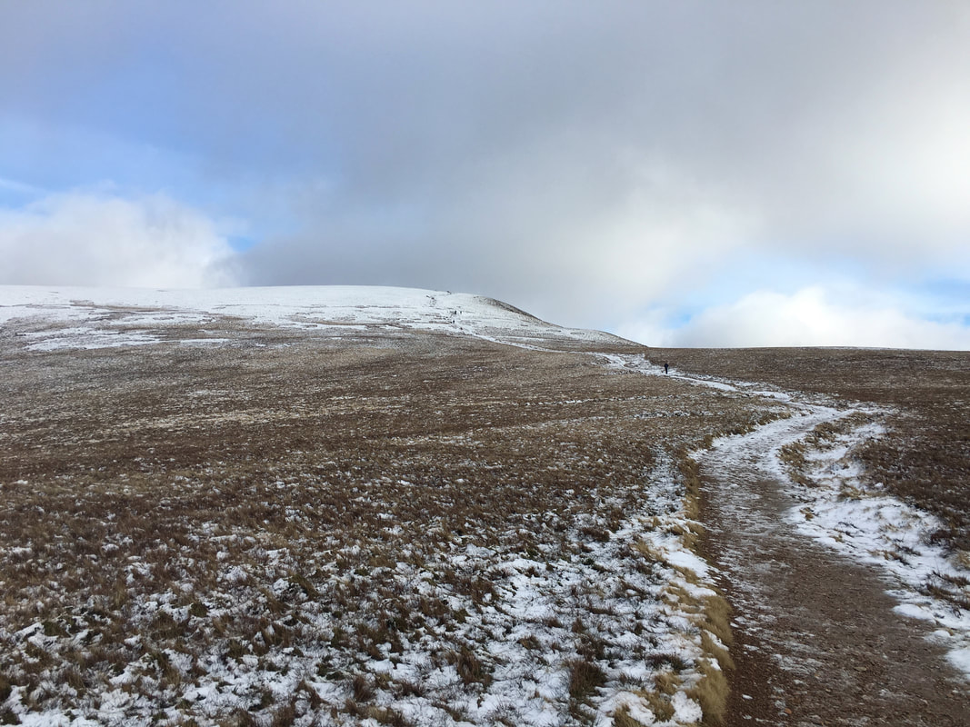
Almost there now and blowing for tugs ..................
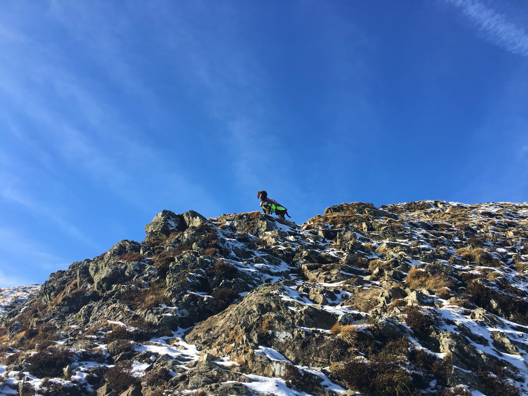
.......... although Fudge as usual made it look so easy with 4 paw drive
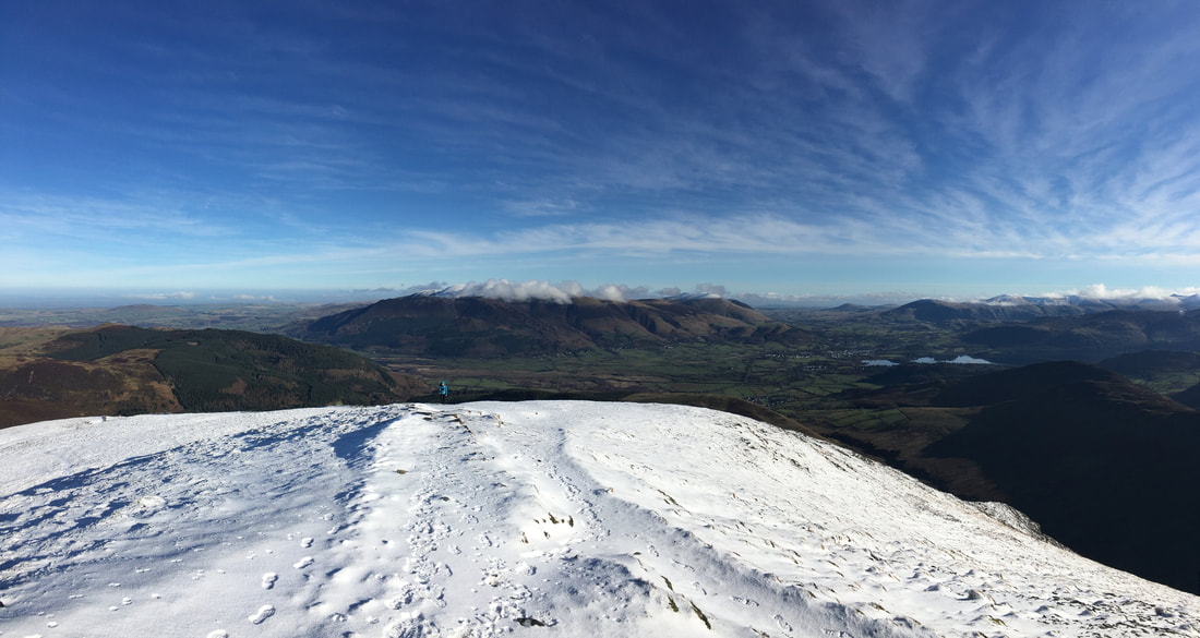
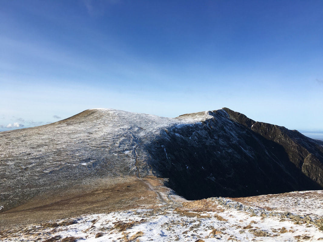
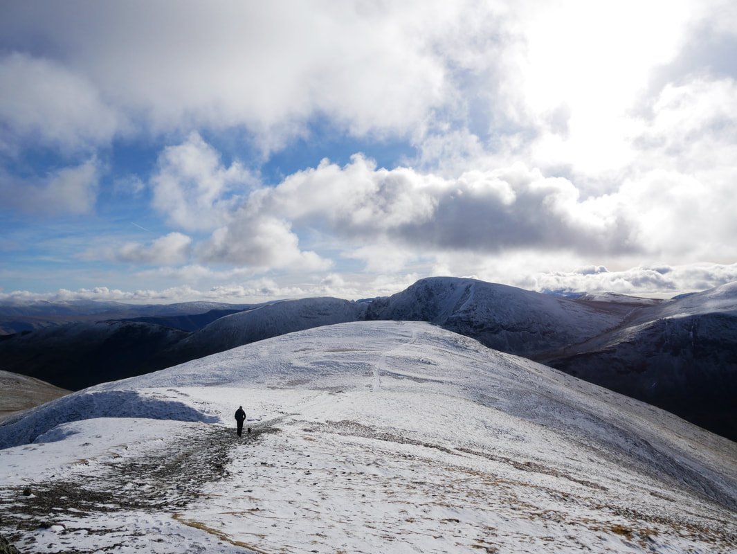
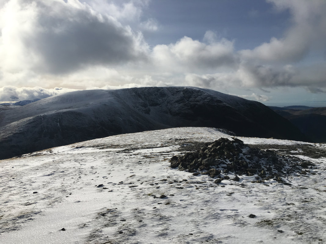
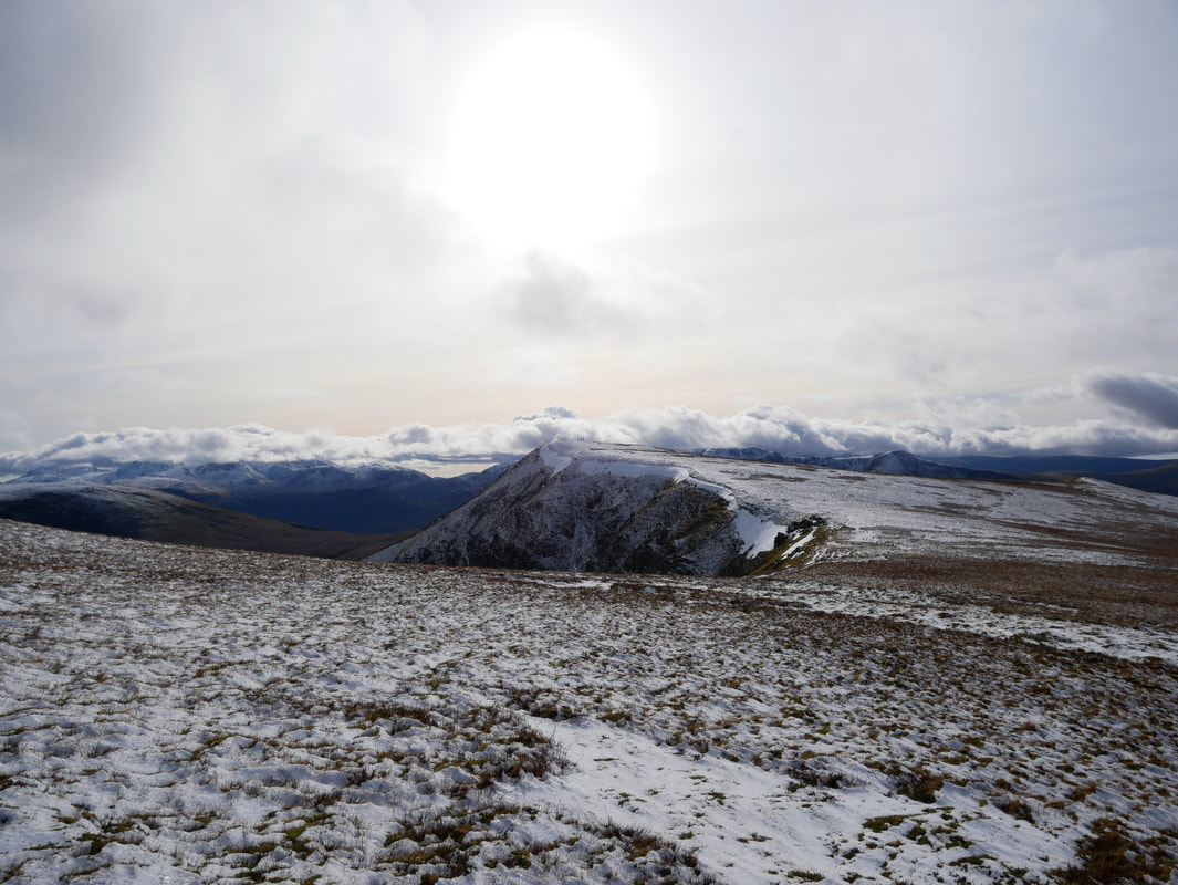
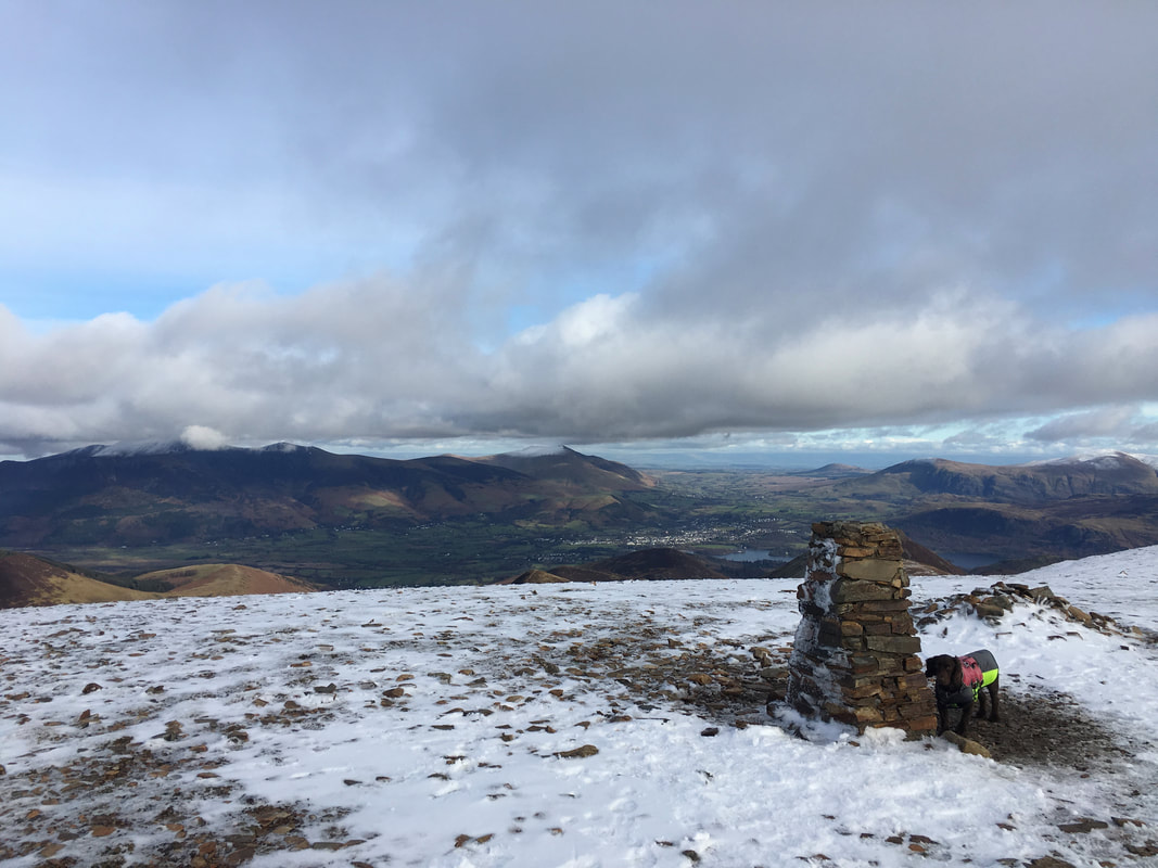
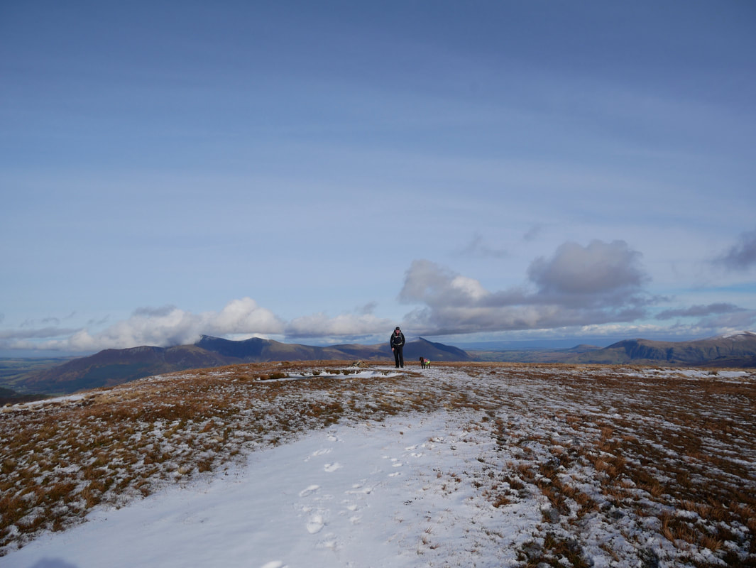
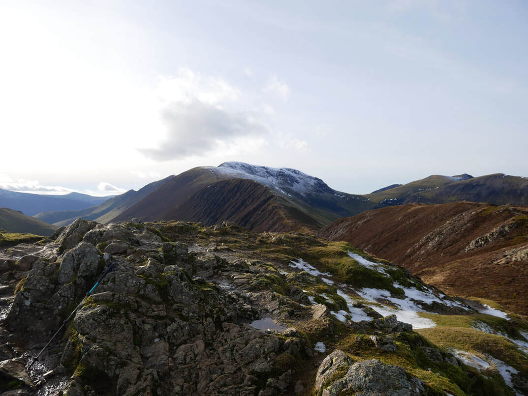
Lots of the white stuff up on the summit - Skiddaw now has a cloudy hat on
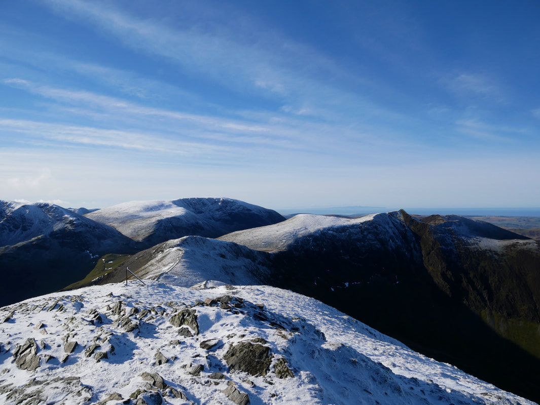
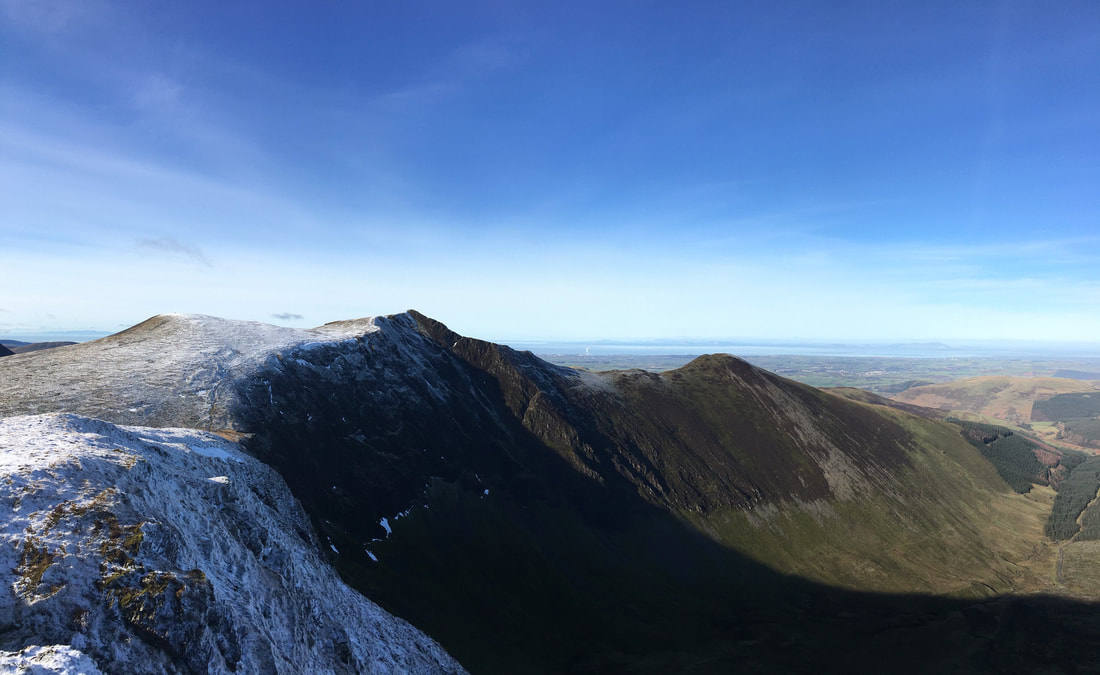
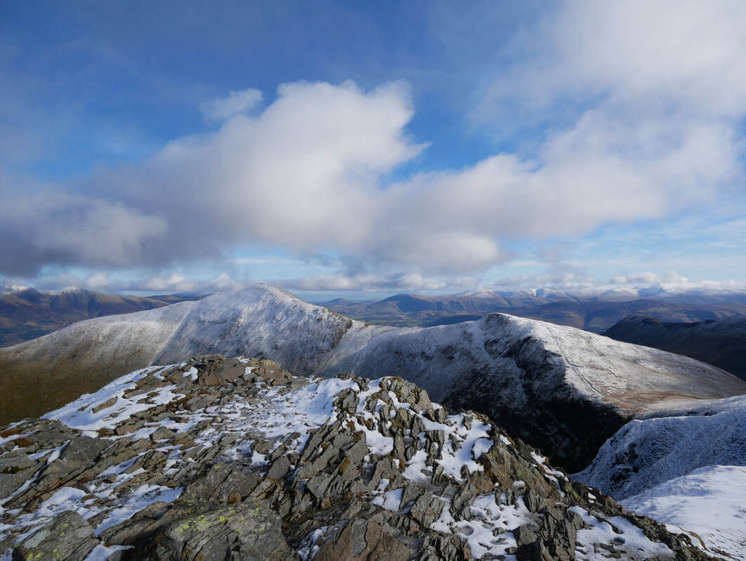
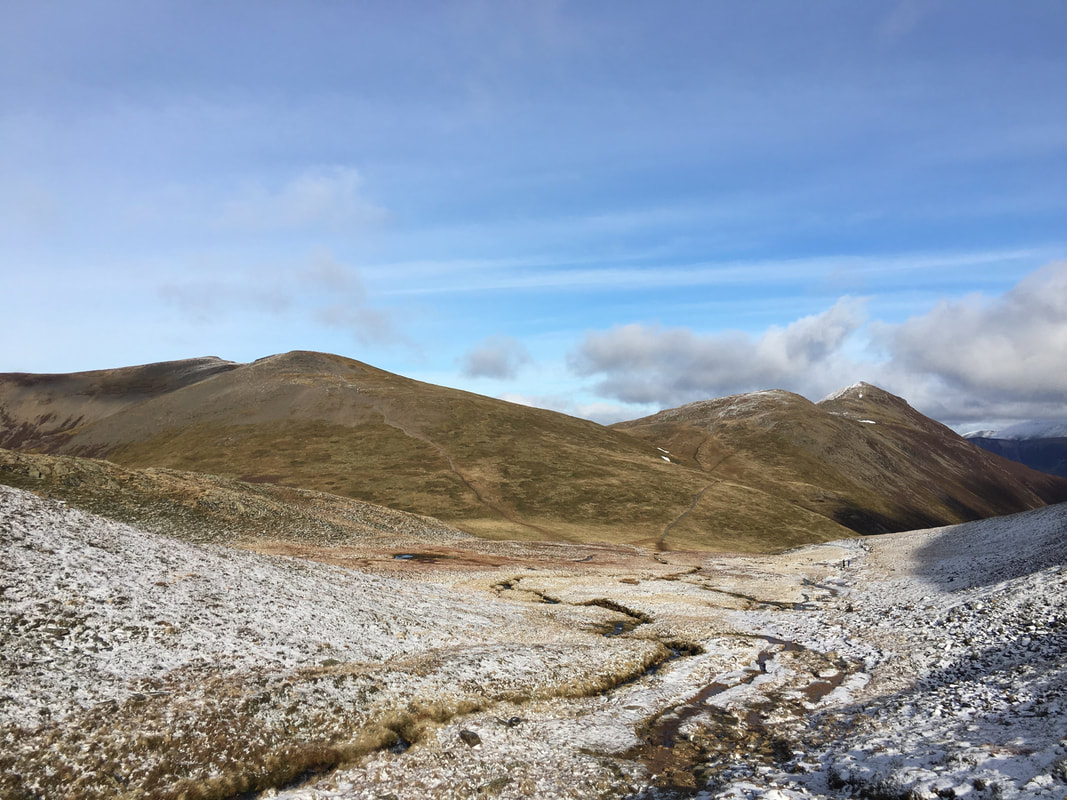
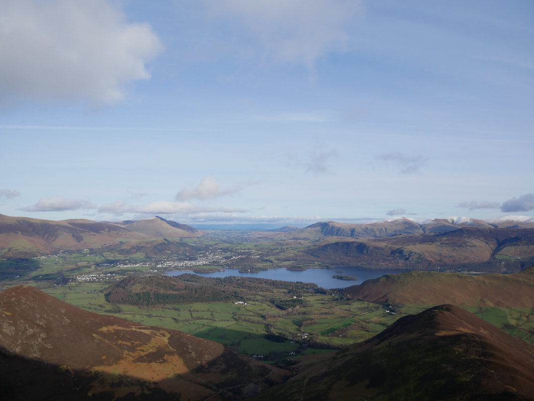
The glorious vista from the summit of Grisedale Pike. Grasmoor dominates in the centre of shot with our route stretching away to the right - Hobcarton Crag & Hopegill Head
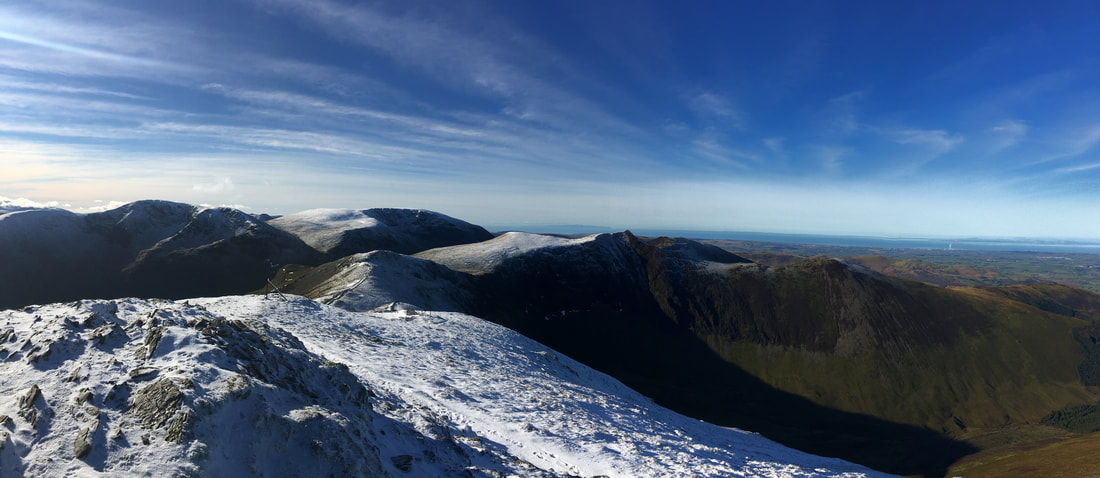
A panorama from the summit of Grisedale Pike
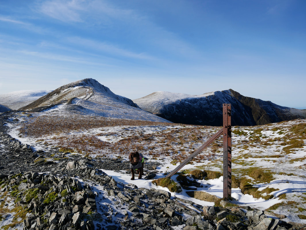
Leaving Grisedale Pike, the path runs to the left of a broken wall
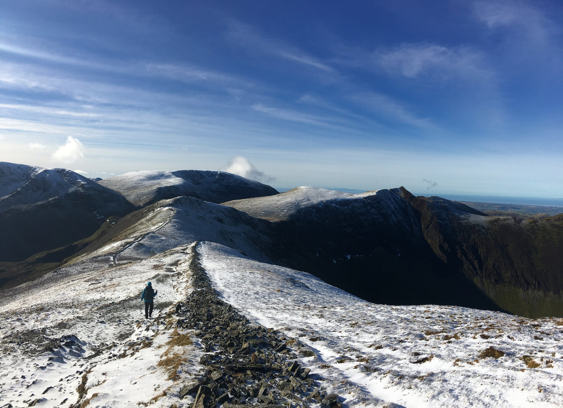
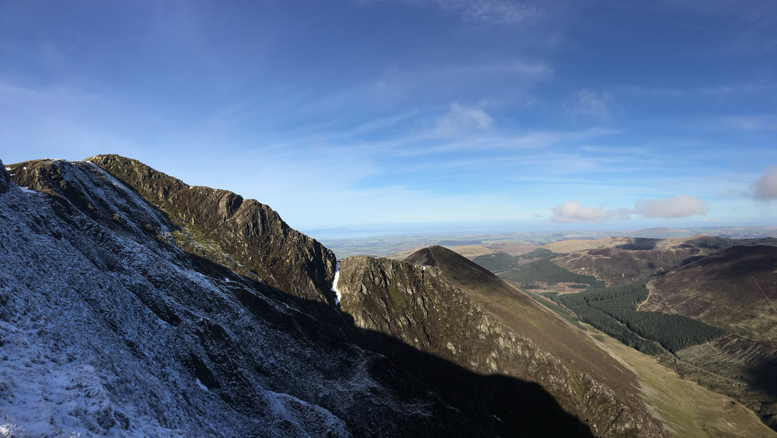
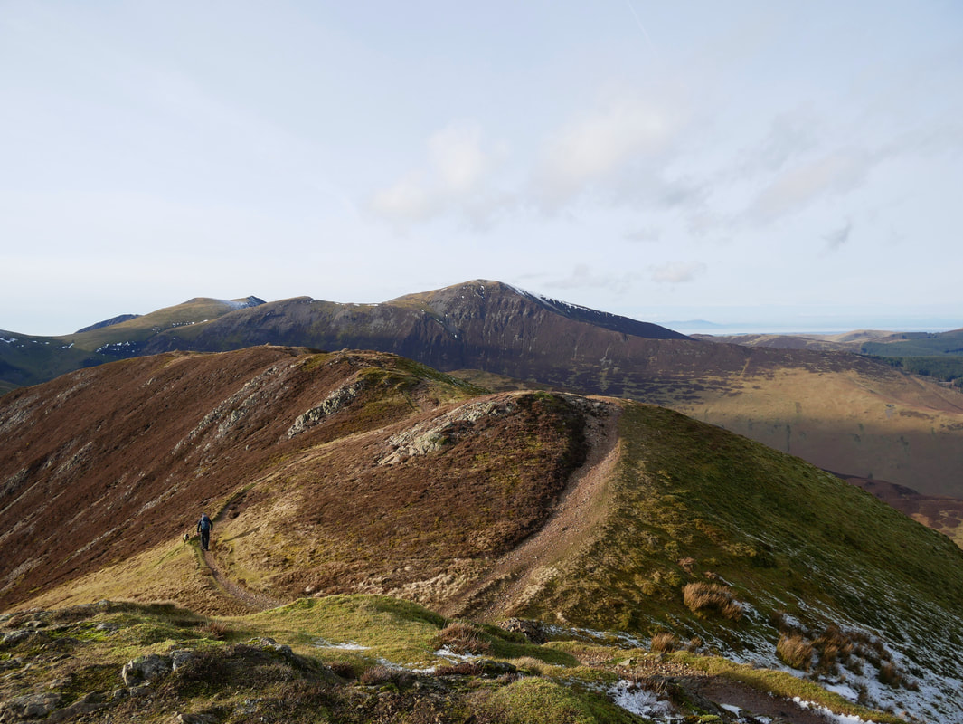
Continuing along the broken wall with Hobcarton Crag ahead, Sand Hill centre & Hopegill Head to the right
Looking back to Grisedale Pike
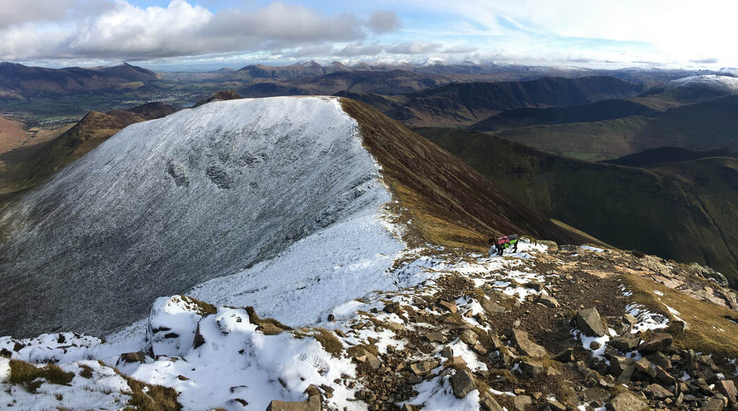
Sand Hill, Hopegill Head & Ladyside Pike from Hobcarton Crag
A little further round and still following the wall we now head up to the summit of Hopegill Head. Again, if there is a lot of snow on the ground please keep to the left of the path to avoid the cornicing here.
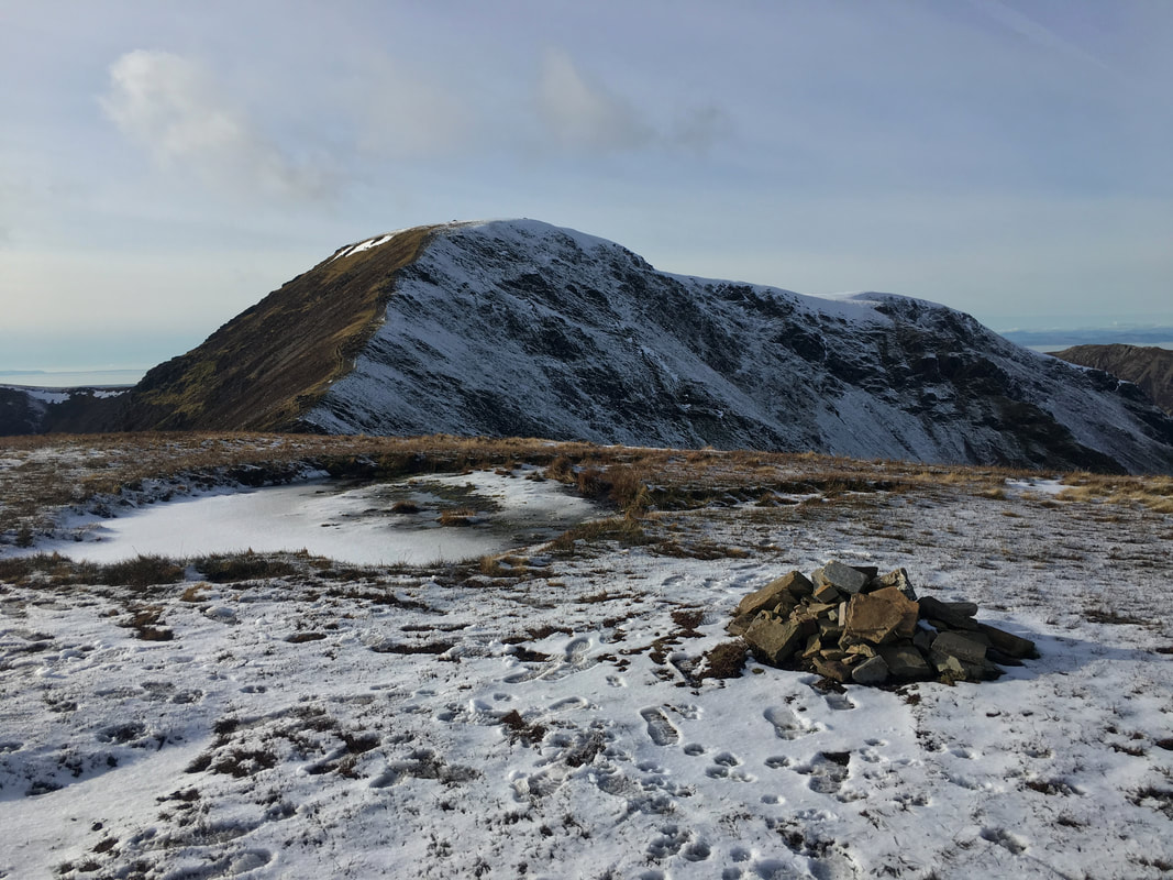
Looking back to Hobcarton Crag & Grisedale Pike
Hopegill Head & Ladyside Pike
The summit of Hopegill Head looking along to one of my favourite walks in Lakeland - the airy ridge to Whiteside. Mellbreak & Crummock Water are to the left followed by Gavel Fell, Blake Fell & Carling Knott
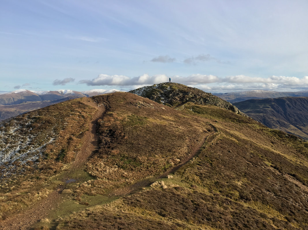
The summit of Hopegill Head looking to Grisedale Pike with the Helvellyn range now in view to the far right
If time allows then the out & back to Ladyside Pike is well worth it
Heading for Sand Hill with Crag Hill lying in wait for later
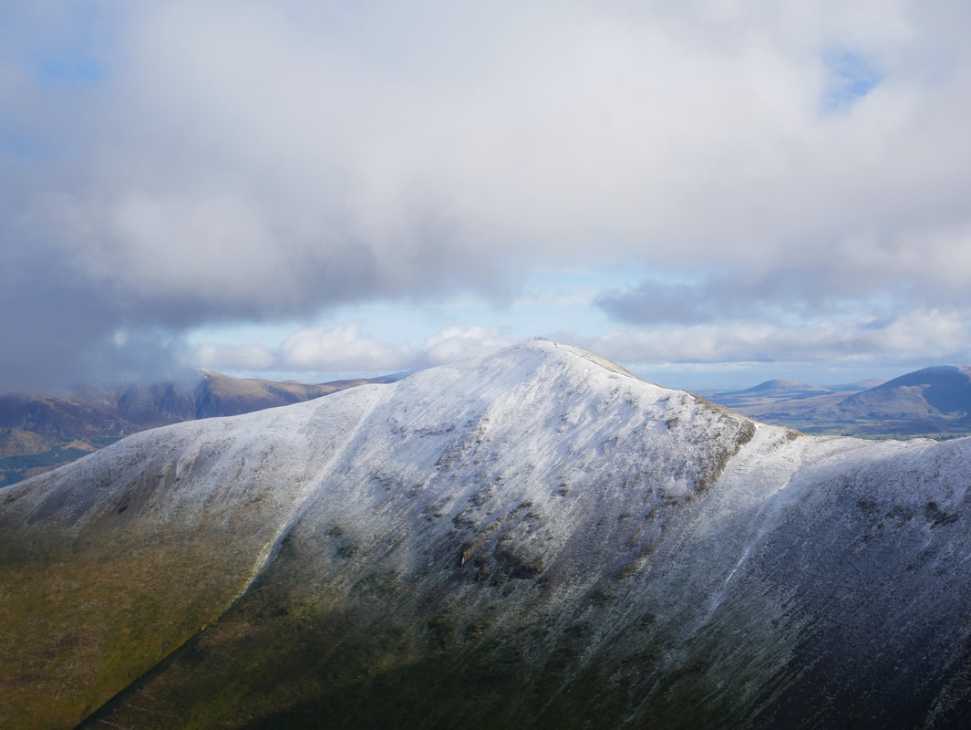
Another view of Grisedale Pike - this time from Sand Hill
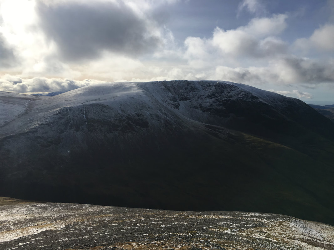
The summit of Sand Hill looking to a moody Grasmoor
A closer look at Grasmoor
The ridge to Whiteside from Sand Hill - Gasgale Gill flows below
The descent to Coledale Hause from Sand Hill. I would much rather be descending it today as coming the other way it is steep and feels like it goes on forever.
Coledale Hause and the ascent of Sand Hill - see what I mean??
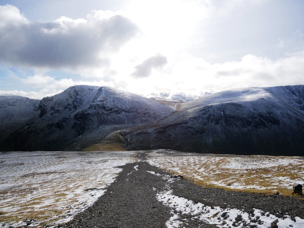
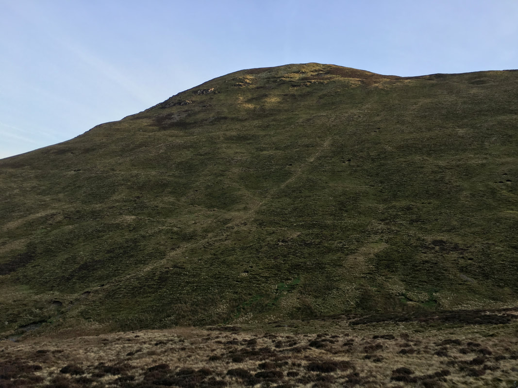
The path from Coledale Hause leads to a col. When this is reached you have several options if you want to do a few out and backs to bag more fells. Straight on goes to Wandope, half right leads to Whiteless Pike and right heads steeply off to Grasmoor. We turned to the left and headed up the gentler gradient to Crag Hill.
Looking back to the col and the ascent of Grasmoor
Wandope
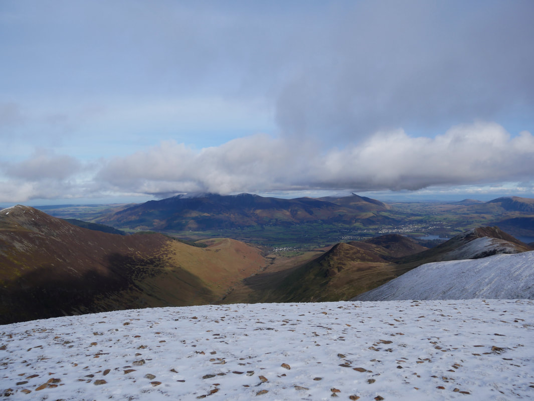
The summit of Crag Hill looking to Skiddaw, Blencathra, Keswick & The Dodds
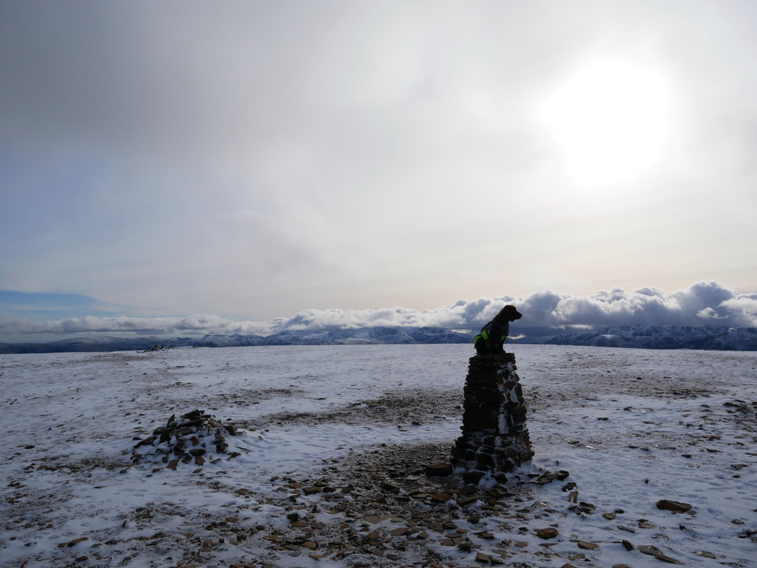
As is tradition
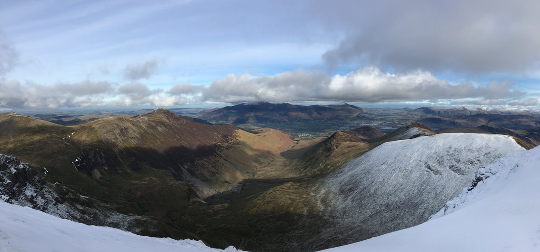
Looking into Coledale from the summit of Crag Hill
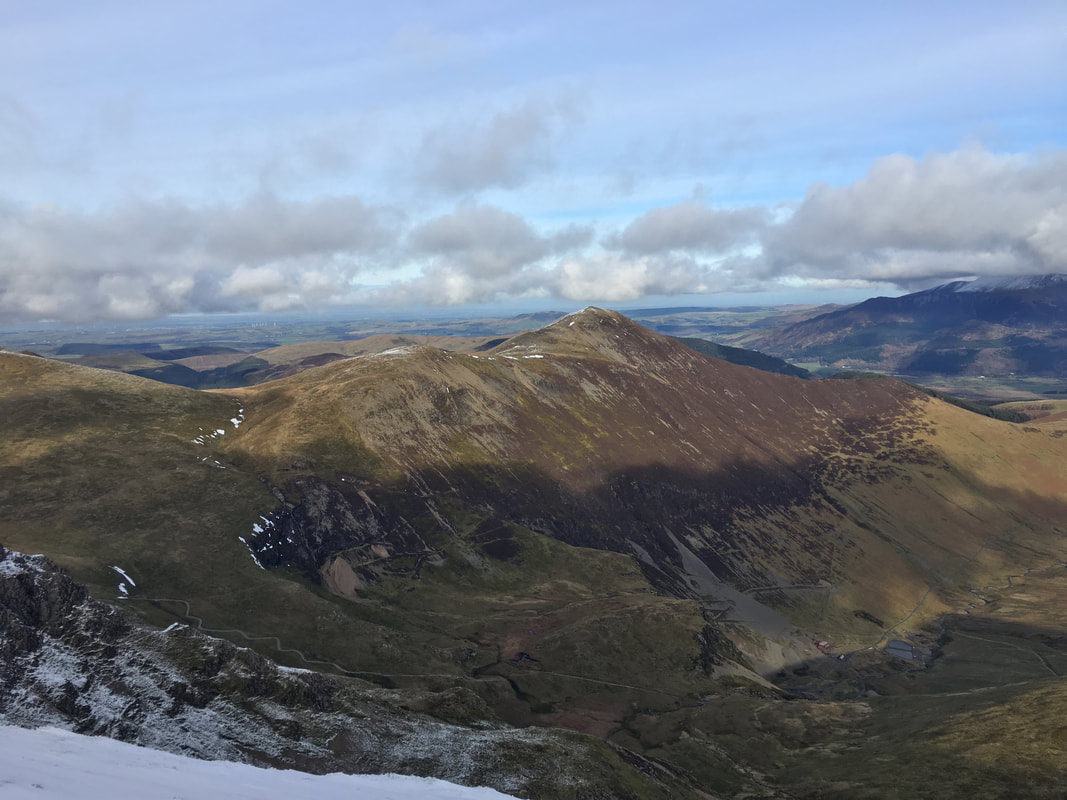
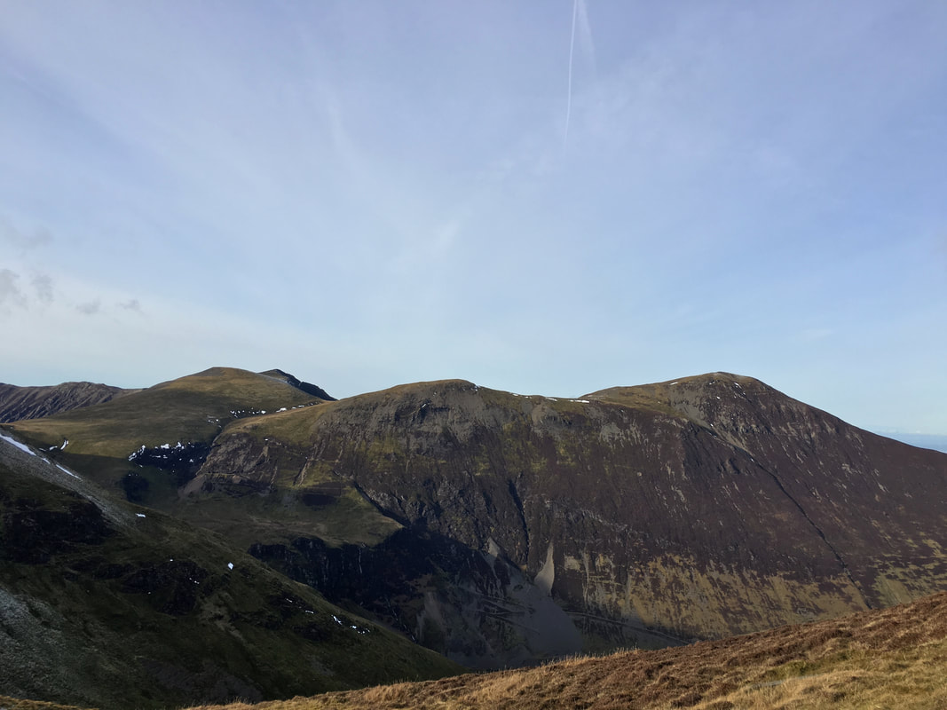
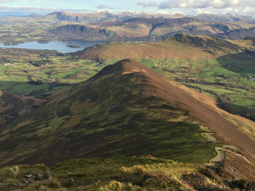
Grisedale Pike from Crag Hill with Force Crag Mine below
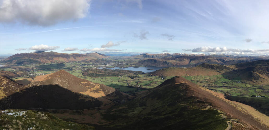
A Coledale panorama
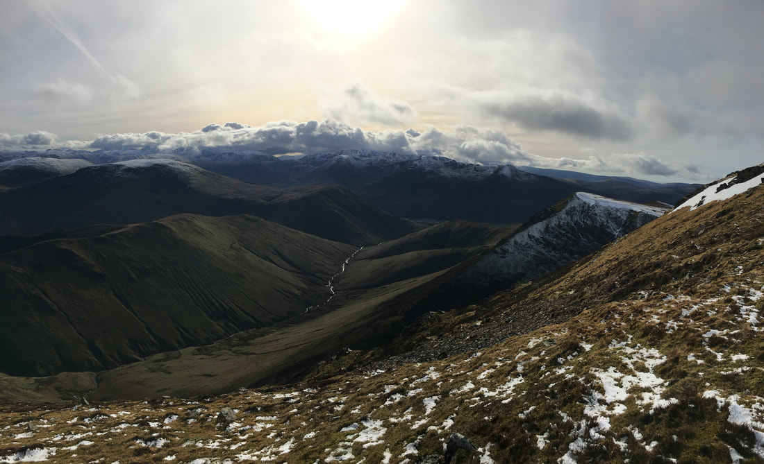
Hindscarth, Robinson, High Snockrigg, the High Stile ridge & Wandope with Knott Rigg in the foreground left
The connecting ridge between Crag Hill & Sail which is known as The Scar
Crag Hill from The Scar - this is a really good section of the walk
The summit of Sail
The summit of Sail looking to Crag Hill & Eel Crag
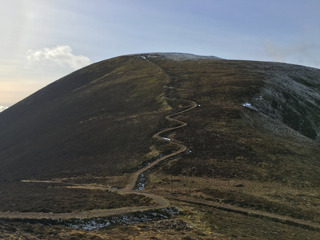
From Sail we now headed down a zig zag path to the Sail Pass below. Our route up another zig zag path can be seen ahead - firstly to Scar Crags then to Causey Pike
Sail and the zig zag pass from Sail Pass. Discussion as to the validity for building the path has caused many a fist fight in various Keswick hostelries (I am joking)
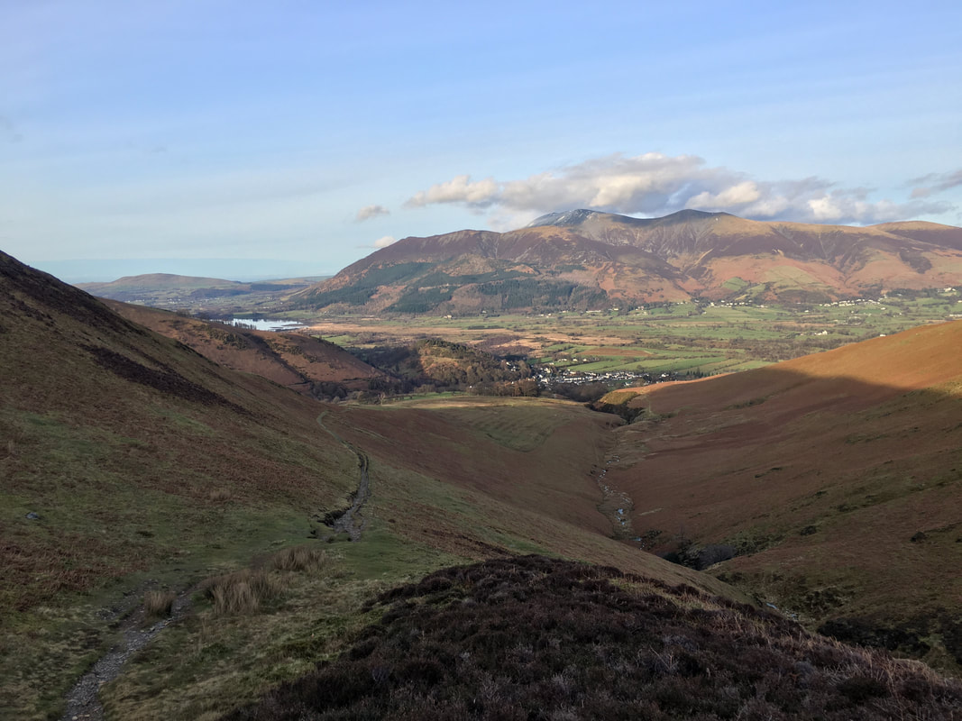
Looking across Coledale to our outward route
The summit of Scar Crags
The summit of Scar Crags with Skiddaw to the left and Blencathra centre. Our next target of Causey Pike is along the ridge to the right.
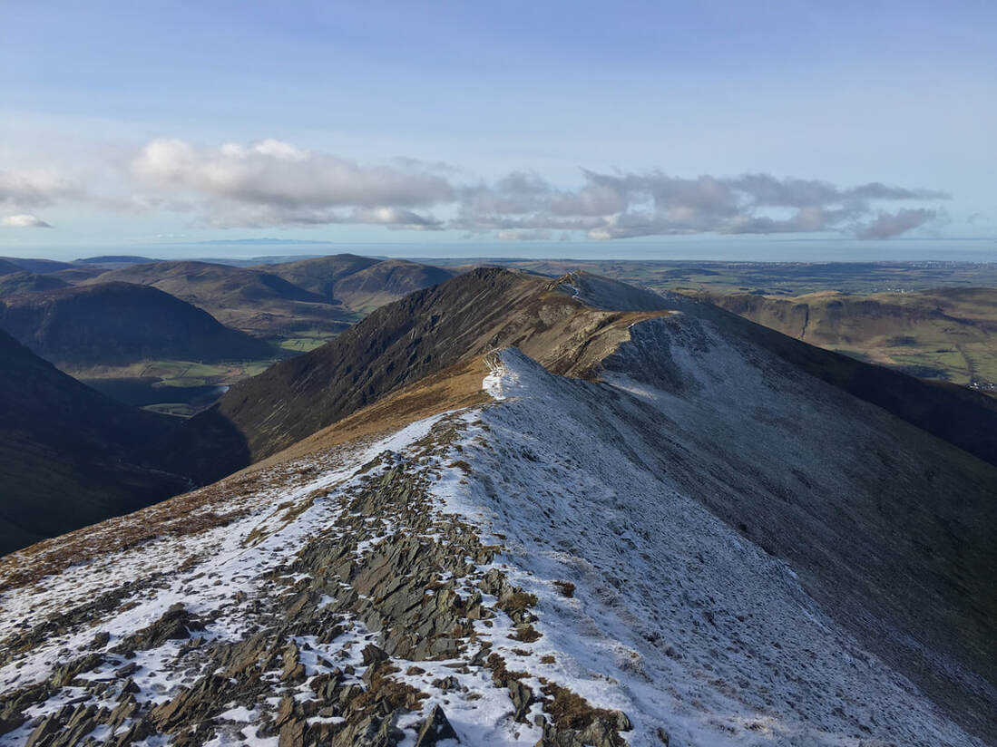
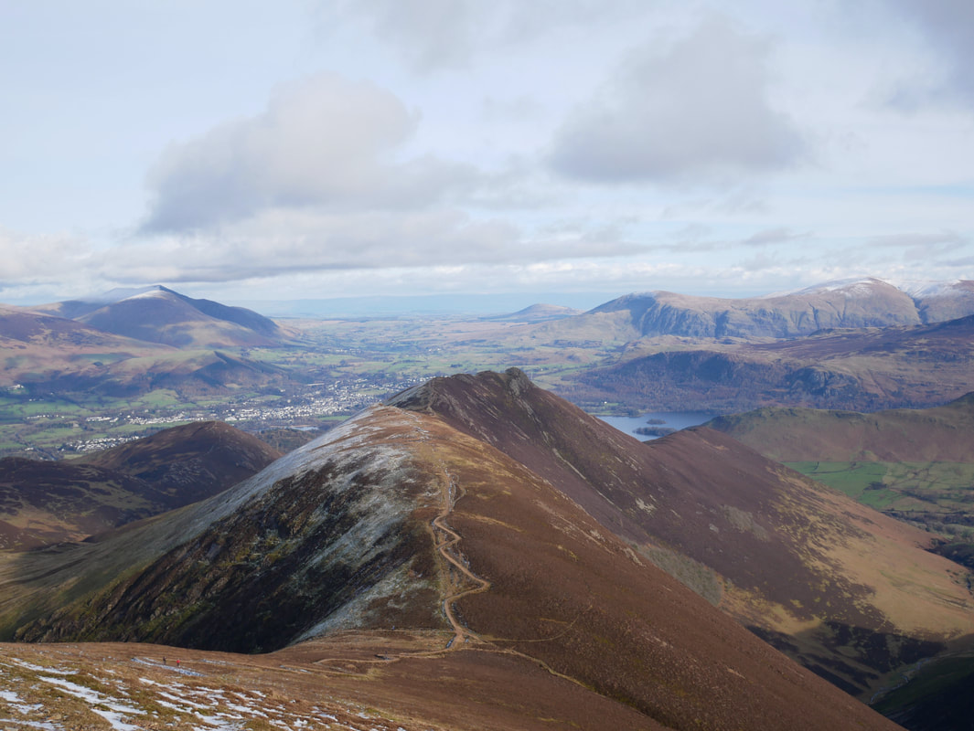
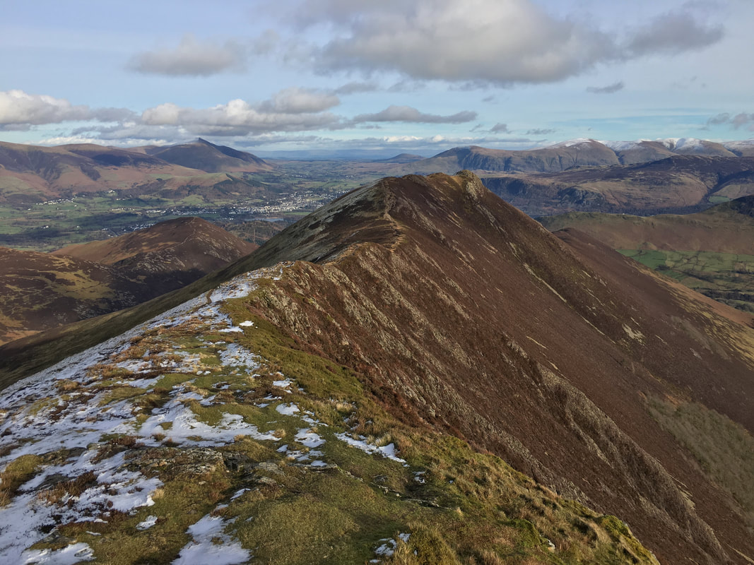
The ridge to Causey Pike
Derwent Water and Keswick from Causey Pike
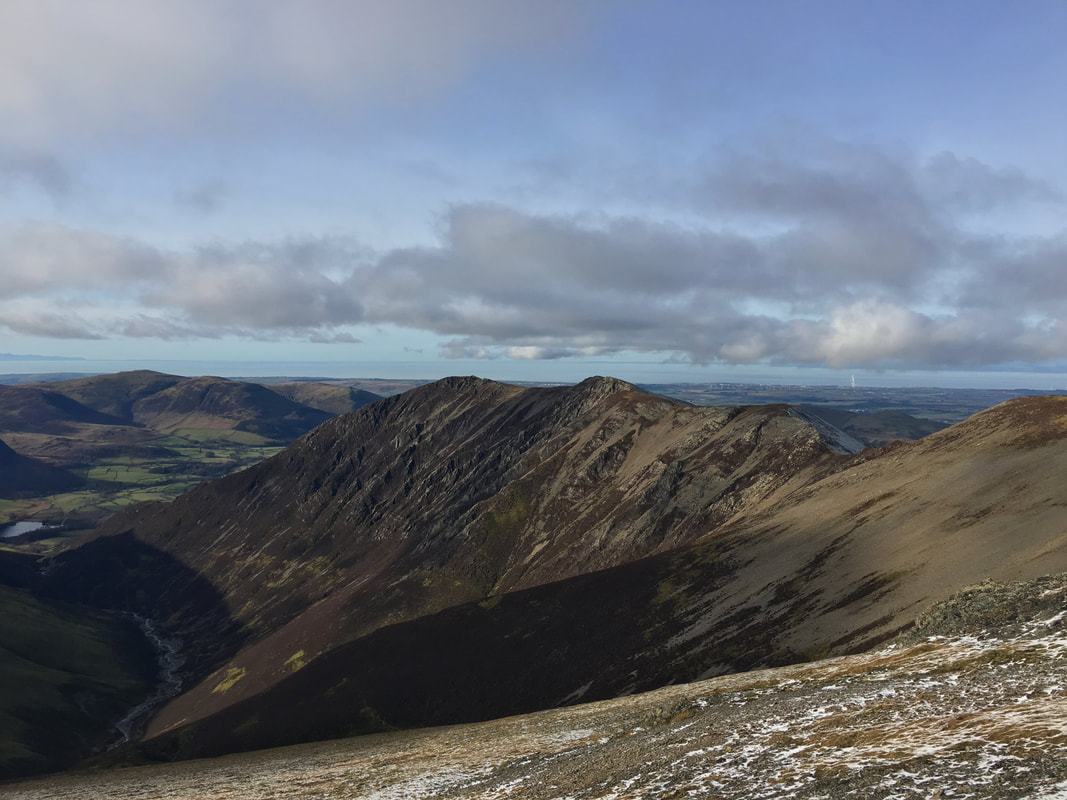
Rowling End from Causey Pike. We were doubling back from Causey Pike and therefore would not be descending via this route. This is the normal route to/from Causey Pike from the village of Stair. The ascent & descent directly to/from Rowling End is extremely steep therefore the path to the left is a pleasant alternative should you ascend or descend via this way.
A superb panorama from Causey Pike looking to Keswick & Derwent Water
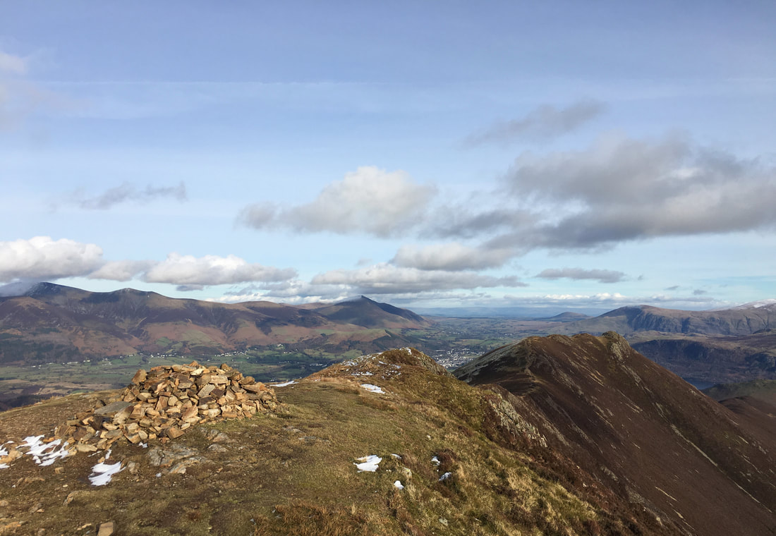
The summit of Causey Pike
From Causey Pike we about turned and went back the way we came to make our descent down to High Moss
Angie on the summit of Causey Pike
The path junction between Causey Pike & Scar Crags. The path heading to the right sloping across the fell was our route of descent but is not the one marked on the OS Map - the one detailed on the 1:25 map (as of February 2019) heads very steeply straight down the fell side due right of where I am standing. The Grid Reference for this point is NY 21552 20881.
Looking back up to the path junction from near High Moss. For those of you wanting to ascend Causey Pike from High Moss the Grid Reference for the path is NY 21043 21180.
The more direct OS Map route coming down from the path junction - I know which one I prefer
Heading to High Coledale from Barrow Door with Braithwaite below
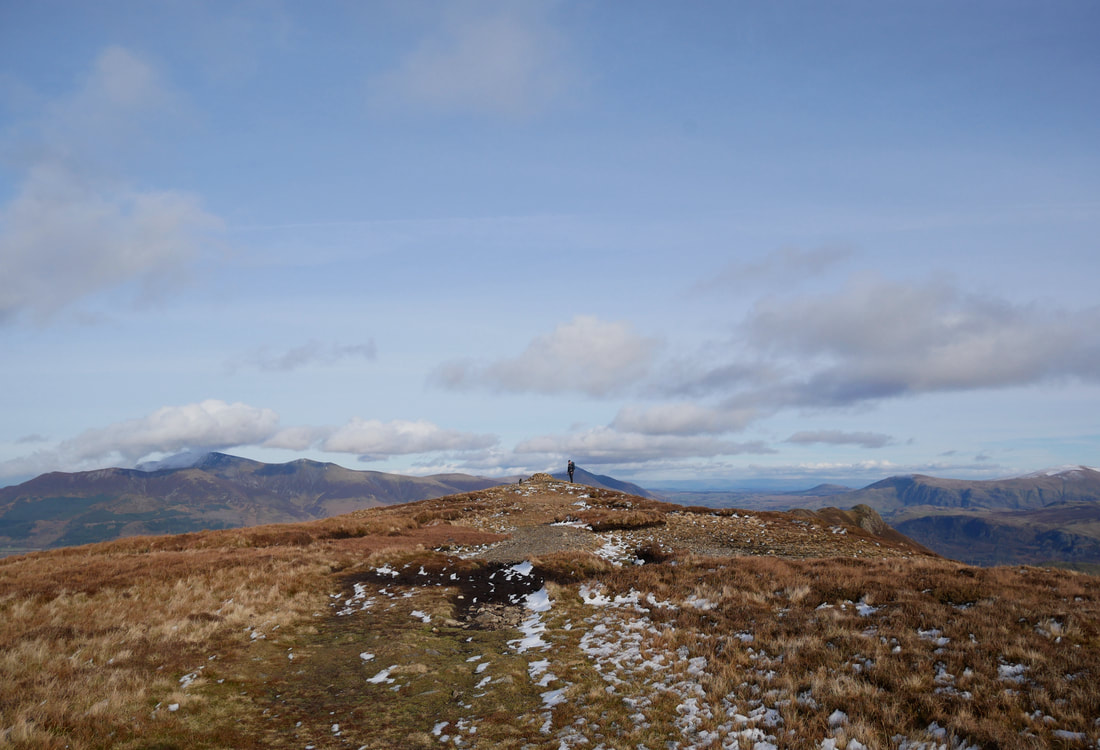
Approaching High Coledale looking to Skiddaw
Safely back in Braithwaite - now where is the pub?
Here it is - one of our favourite Lake District hostelries - they keep a mean pint and the food is very good
