The Eastern Fells Linear - Saturday 3 June 2023
Route
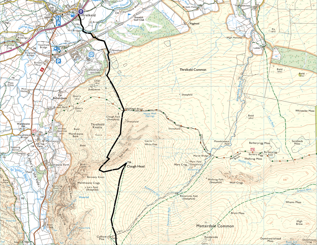
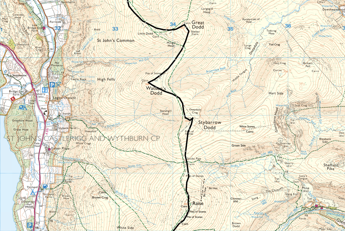
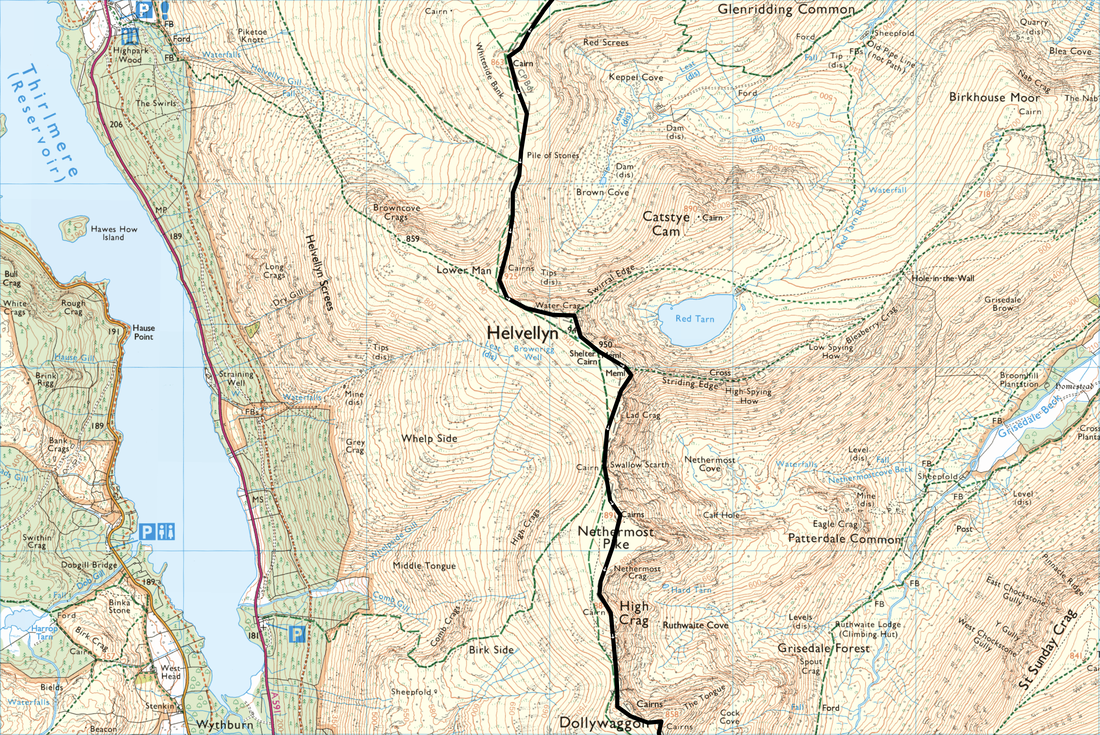
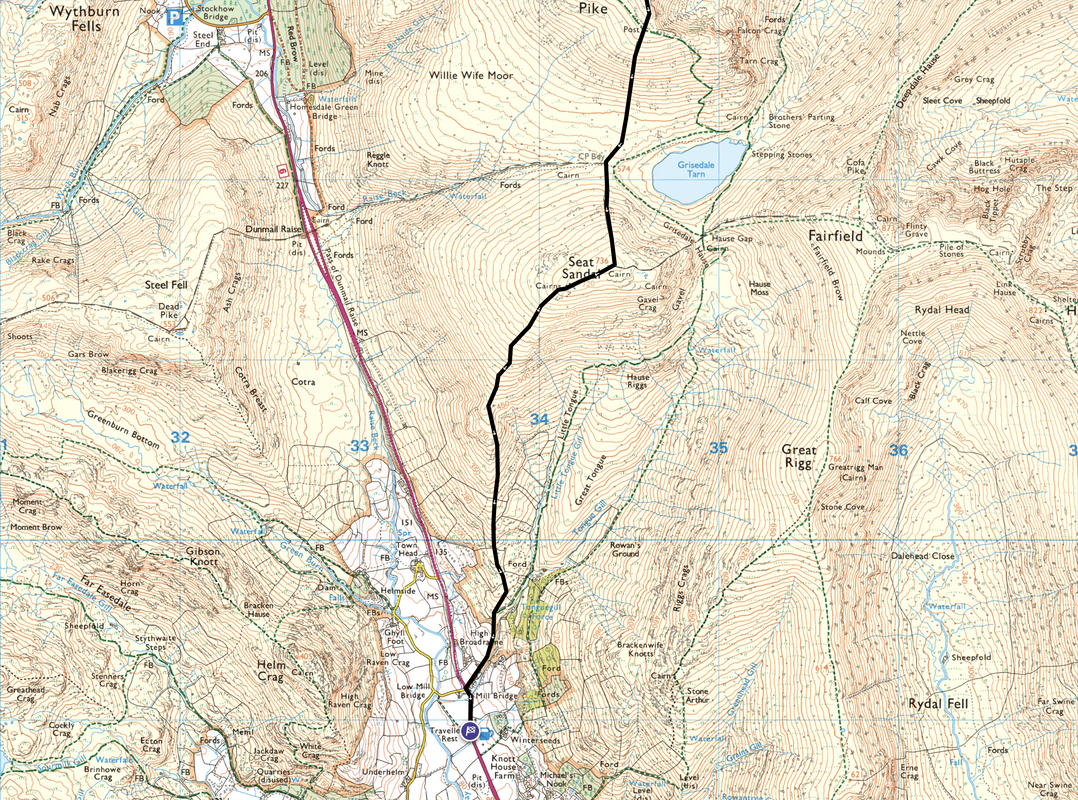
Threlkeld - Newsham - Hausewell Brow (Old Coach Road) - Red Screes - Clough Head - Great Dodd - Watson's Dodd - Stybarrow Dodd - Sticks Pass - Raise - White Side - Helvellyn Lower Man - Helvellyn - Nethermost Pike - High Crag - Dollywaggon Pike - Seat Sandal - Mill Bridge - Grasmere (Traveller's Rest)
Parking
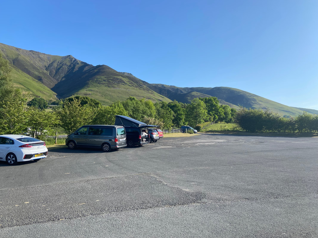
Start - Threlkeld Cricket Club on the A66 (£3 all day) - the Grid Reference is NY 32546 25415 and the nearest postcode is CA12 4ST.
Finish - Either park for free in the large lay-by on the right as you enter Grasmere on the A591 from Keswick or in the Car Park of the Traveller's Rest (Charge which is to be paid in the pub prior to starting your walk) - the Grid Reference is NY 33637 08984 and the nearest postcode is LA22 9RR.
Mileage
14 miles
Terrain
Good mountain paths throughout
Weather
A glorious Lakeland summers day with very light breezes
Time Taken
8hrs 50mins
Total Ascent
4681ft (1427m)
Wainwrights
10
Map
OL5 - The English Lakes (North Eastern Area)
Walkers
Dave with Nicky Oliver, Sara Boyle, Lucy Dockeray, Jackie Wilson & Rowena Donald
|
GPX File
|
| ||
If the above GPX file fails to download or presents itself as an XML file once downloaded then please feel free to contact me and I will send you the GPX file via e-mail.
Route Map
The Threlkeld Cricket Club Car Park on the A66 which would be the start of todays Eastern Fells linear walk. We left some cars here and some in Grasmere therefore ensuring we had the ways and means to get back to the start.
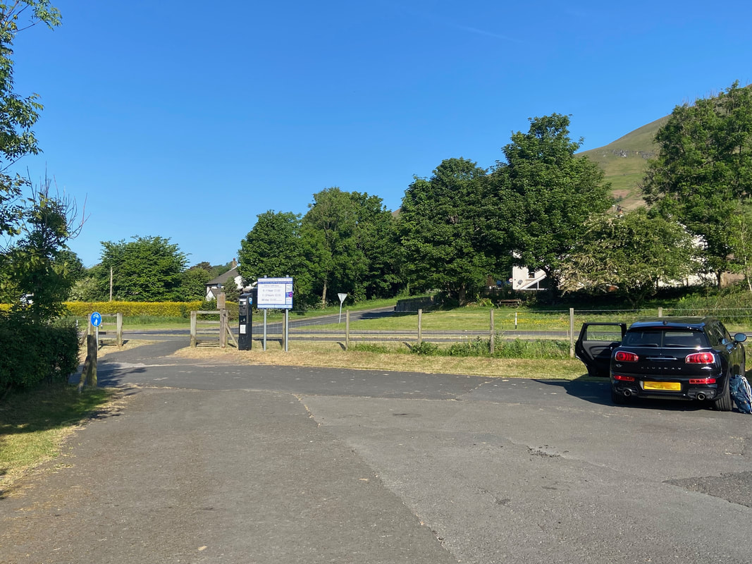
The payment method here used to be by donation however this has recently changed to a meter. At £3 for all day it is extremely good value for money.
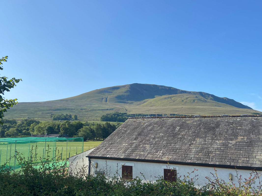
Looking over the top of the Cricket Pavilion to Clough Head and Threlkeld Knotts - this would be our first climb today
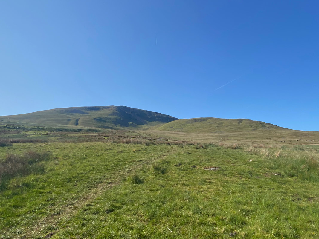
Once clear of the farm buildings at Newsham we emerged out on to the open fell side and followed a rough path towards the Old Coach Road at Hausewell Brow
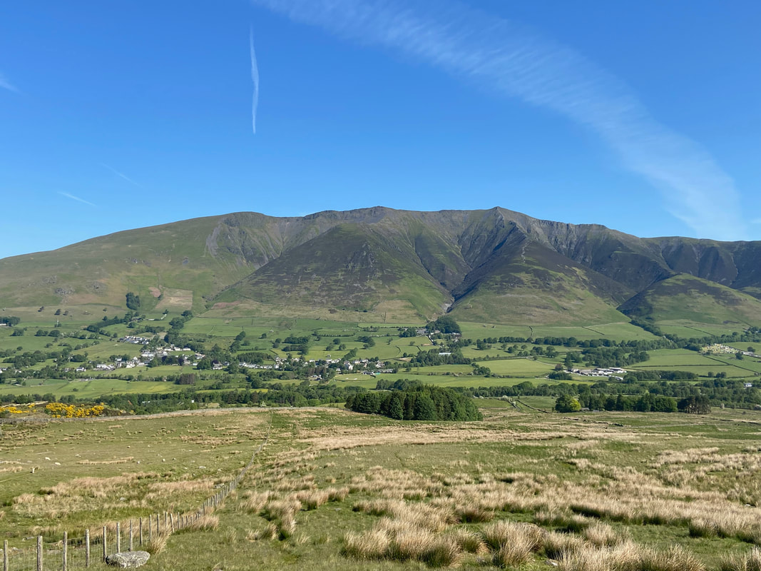
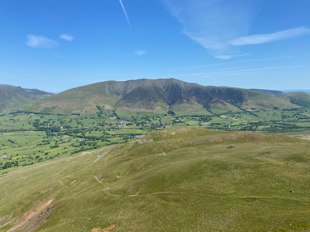
The glorious view back to Threlkeld with magnificent Blencathra towering above
Crossing the Old Coach Road, a path continues on to pass between Red Screes on Clough Head & Threlkeld Knotts. It should be noted that this path is not marked on the OS Map.
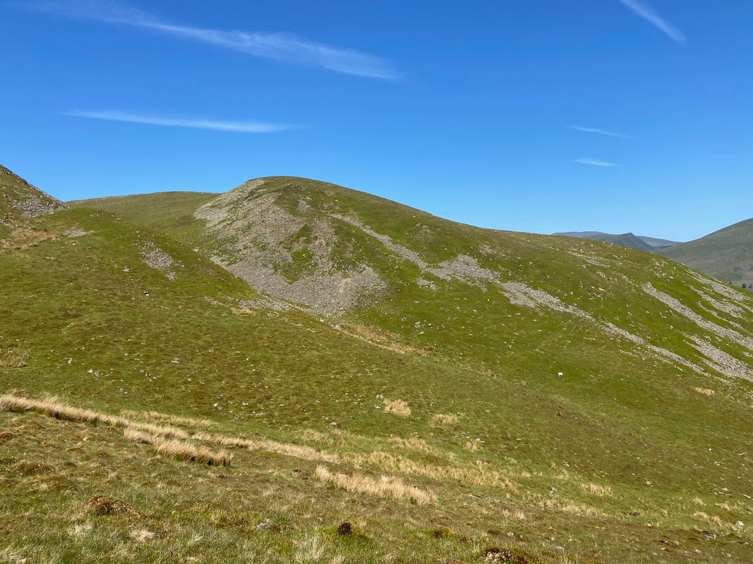
Threlkeld Knotts over to our right
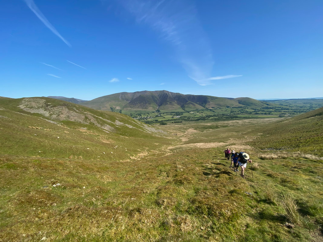
It was mid morning and it was already pretty warm. This made the modest descent through the gap to the base of Clough Head hard work.
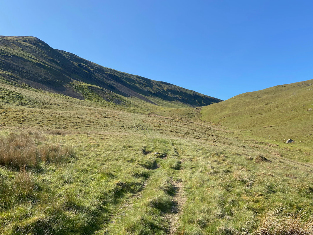
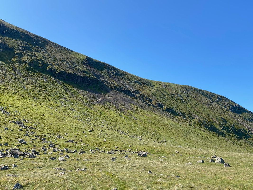
At last the gradient levelled out as we arrived below Red Screes on Clough Head. Our onward path can be seen heading across the fell from left to right.
High up on the sloping path now as we look down to Threlkeld Knotts and over to Blencathra. The path snaking its way down the slope leads to the Old Coach Road and onwards to Wanthwaite.
A little further round and the Skiddaw range comes into view
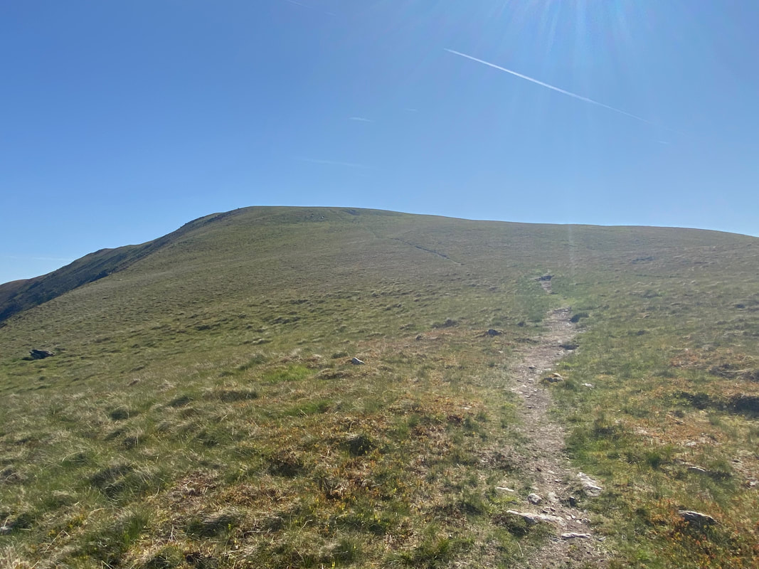
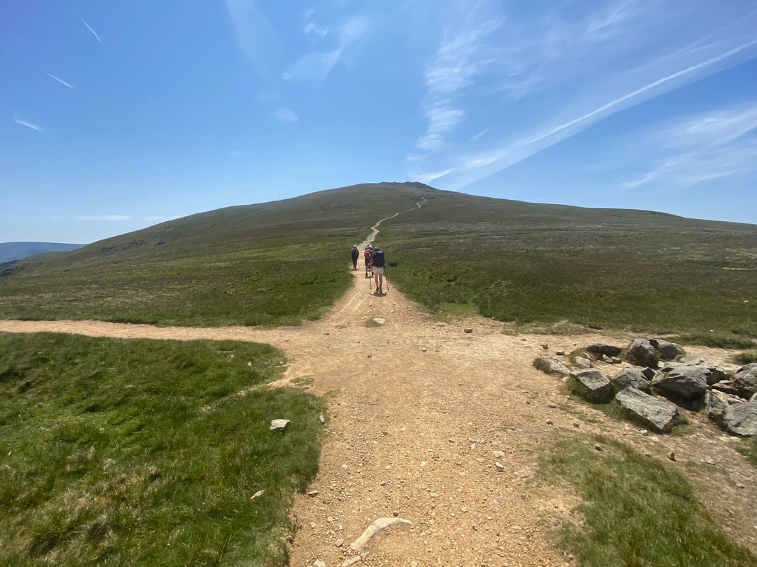
At the top of the rise the path swings around to the left and here the gradient eases to leave a 600 yards or so easy walk to the summit.
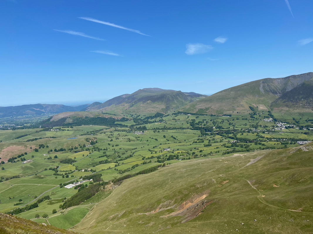
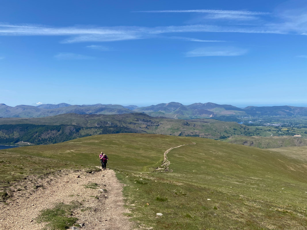
Keswick, Derwentwater and the North Western Fells from the approach to Clough Head
The summit of Clough Head looking to Skiddaw & Blencathra
Clough Head has an affinity with the global superstar Sting. He cut his teeth in the teaching profession below Clough Head at Threlkeld School and was given a tough decision to make following an assessment as to his future employment. He clearly did well at the school, so much so that they offered him a permanent position. The following extract from his book explains the thought process behind what was clearly a tough decision for him:
“The teaching practice is a success, largely because Mr Sturridge seems to like me, so much so as to offer me a permanent job there in the autumn term. He tells me that the kids like me too. I’m very flattered and I thank him for the compliment, but ask for some time to consider the offer. That evening I climb up to the top of Clough Head. On the crest of the high ridge I turn back and I can see my life spread out like the valley below me: growing old like Mr. Sturridge, a village teacher, gray-headed and stooped, with worn leather patches on the elbows of my jacket, going home each night to a stone cottage on the hillside with an older Megan standing in the garden, roses in a trellis around the front door, a wood fire in the hearth, my books and my music, idealized, peaceful, devoid of complexity or worry or the vanity of ambition. Whatever is comforting about this image of a possible future, however different it is from the harsh industrial landscape of my childhood, it holds me for no more than a moment and then it is gone. I know the answer I shall give the headmaster, and as the evening draws in I make my way at a brisker pace down the mountain to my digs in the village.”
― Sting, Broken Music: A Memoir
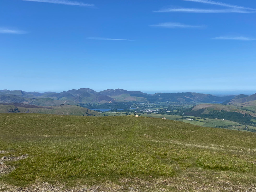
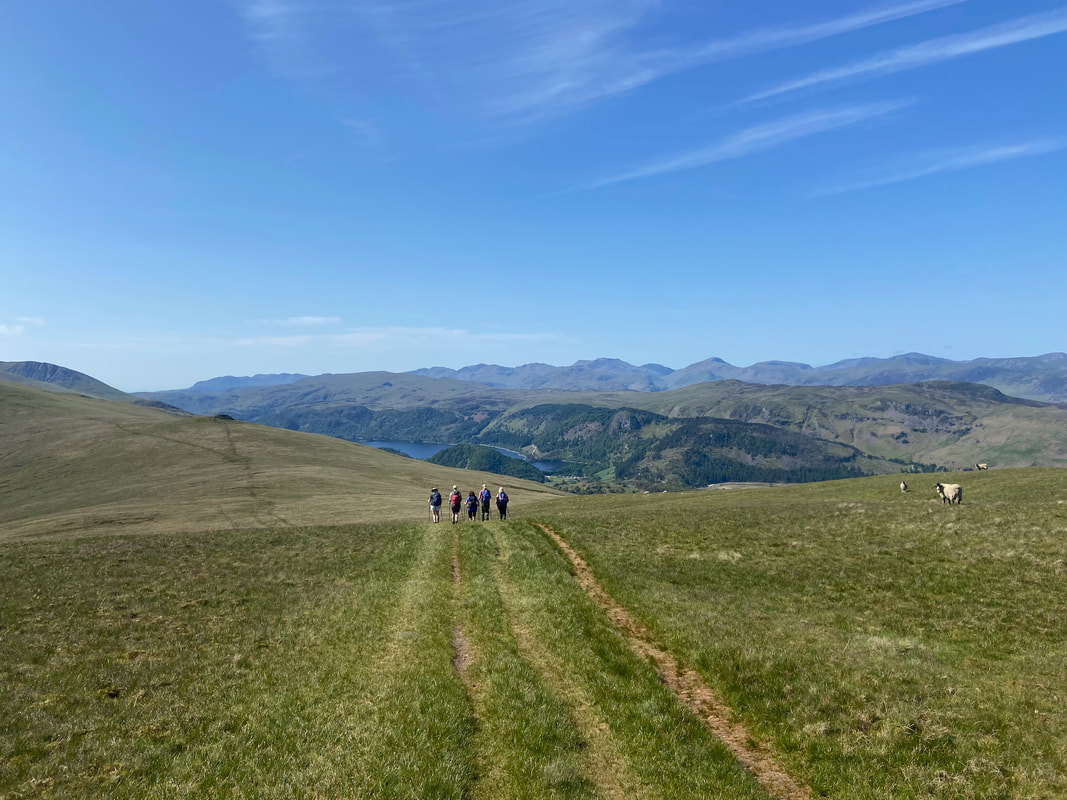
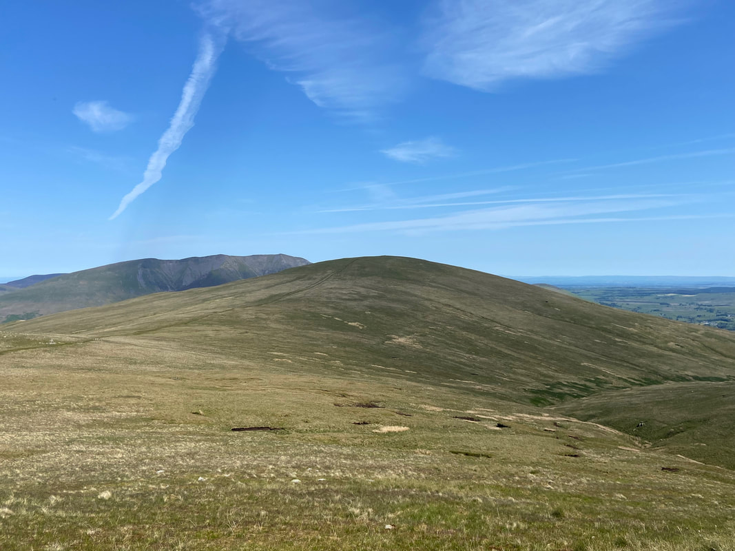
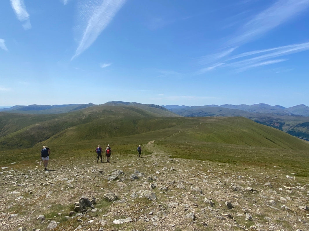
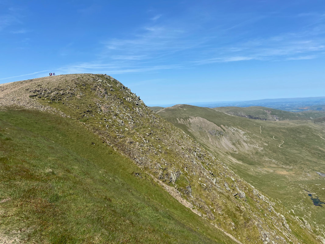
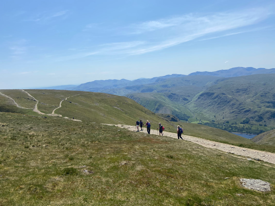
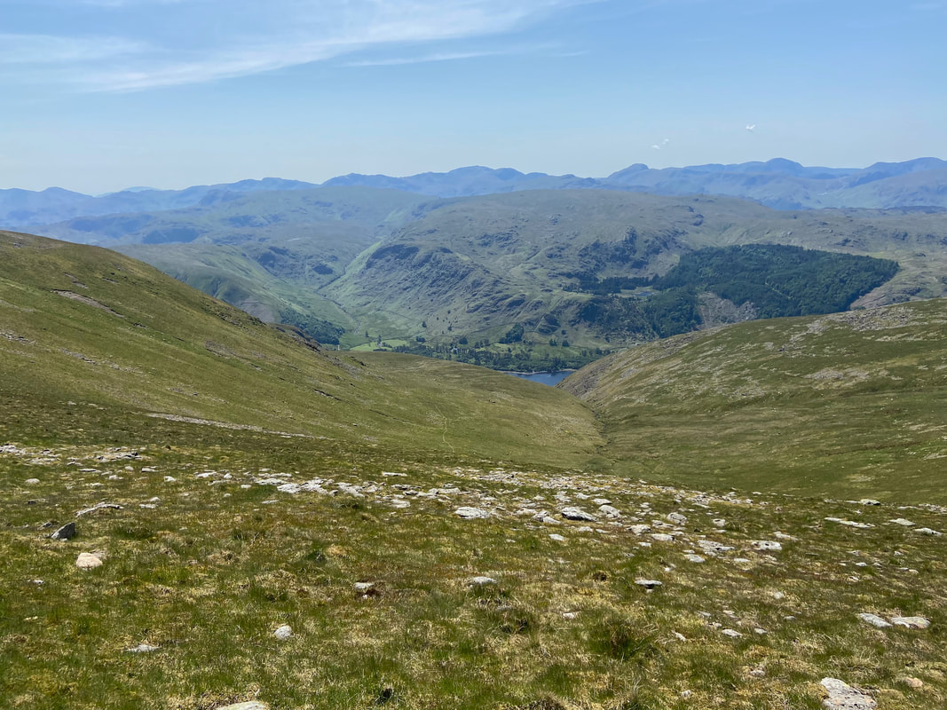
Leaving Clough Head we headed in the direction of Thirlmere which can be seen below. Over to the left our path heads up towards the next summit of Great Dodd with the small lump of Calfhow Pike just about visible. As I descended to catch up with the girls I hummed "Fields of Gold" to myself. www.youtube.com/watch?v=KLVq0IAzh1A
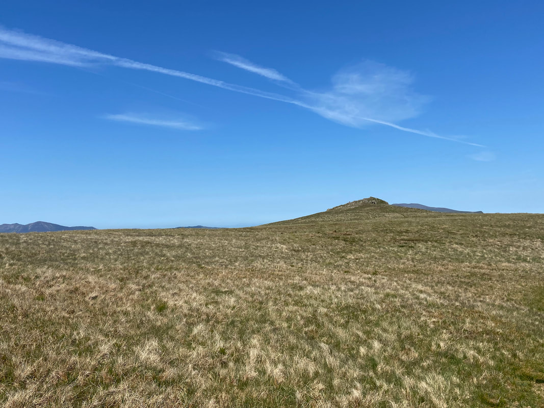
Calfhow Pike from the path to Great Dodd - if time allows it is worth a quick detour to make the short climb to its summit as it grants wonderful views. Sadly, we had enough on our plates today therefore gave it a miss.
Looking back to Clough Head and Blencathra from the ascent of Great Dodd
Another glorious panorama over to the North Western Fells as we continue the long climb to Great Dodd
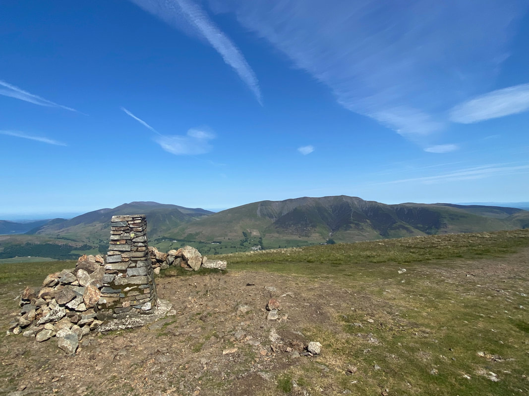
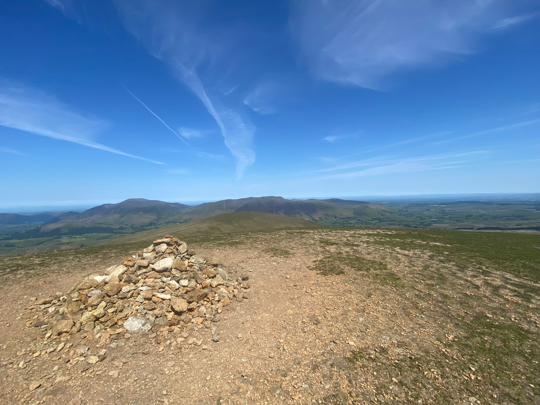
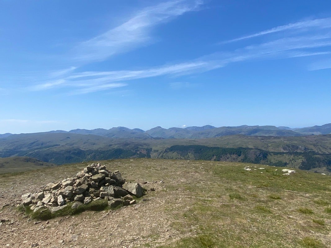
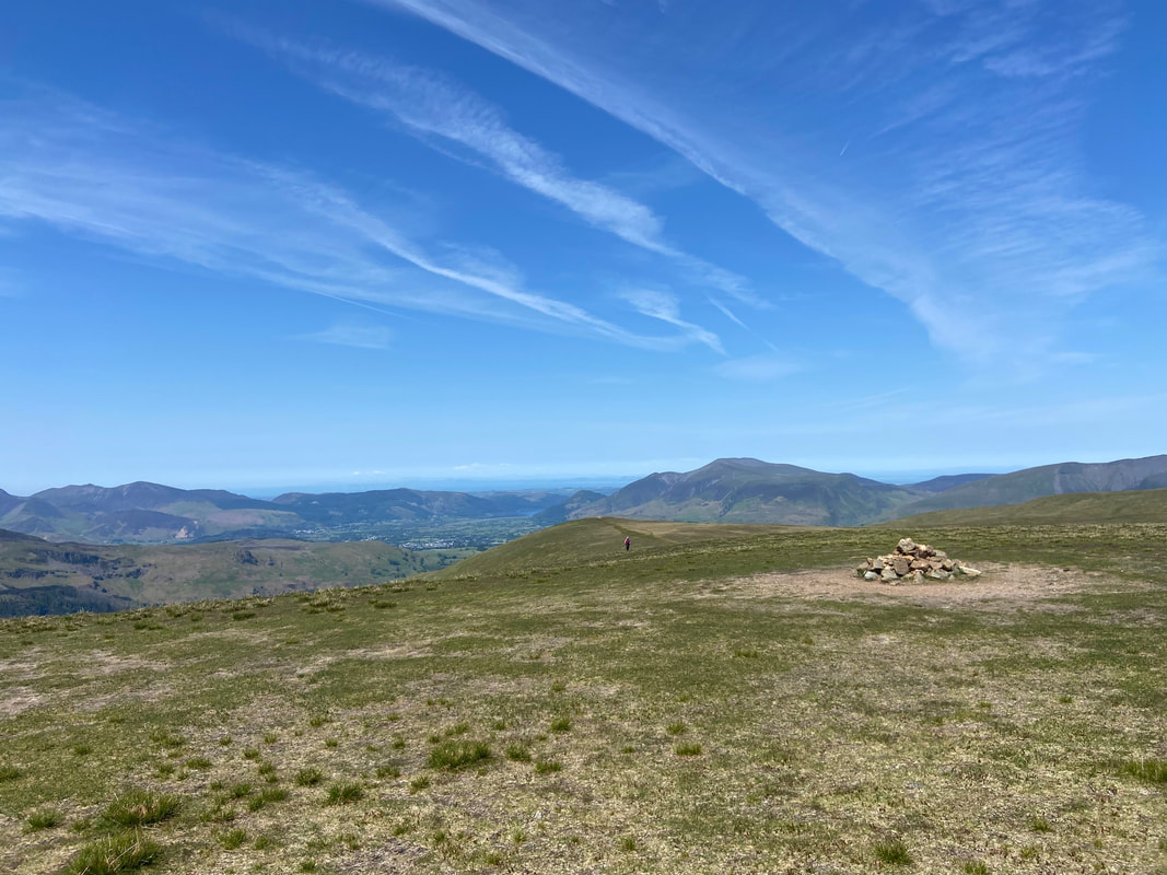
The large cairn on the summit of Great Dodd. The highest point is 30 metres south east of the cairn.
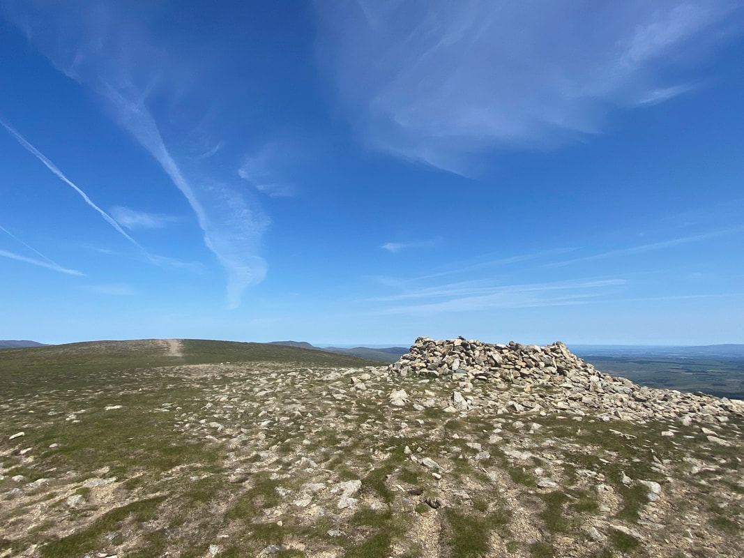
A few yards away from the cairn is a large wind shelter
Leaving Great Dodd for Watson's Dodd which is over to the right with Stybarrow Dodd left of centre and the Helvellyn range beyond
The summit of Watson's Dodd
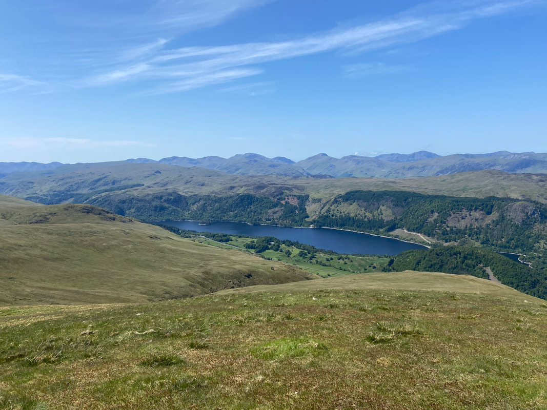
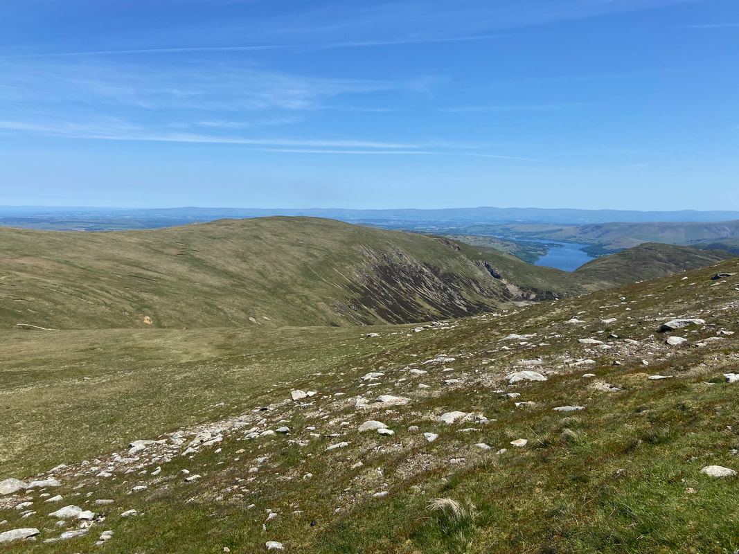
Thirlmere from Watson's Dodd
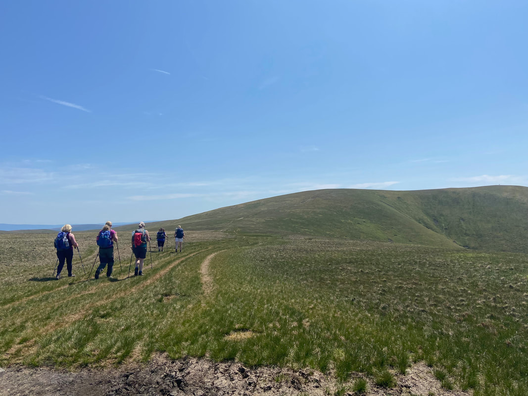
From Watson's Dodd we headed for Stybarrow Dodd on a lovely carpet of grass. It was continuing to be a beautiful day and for now we had the fells to ourselves.
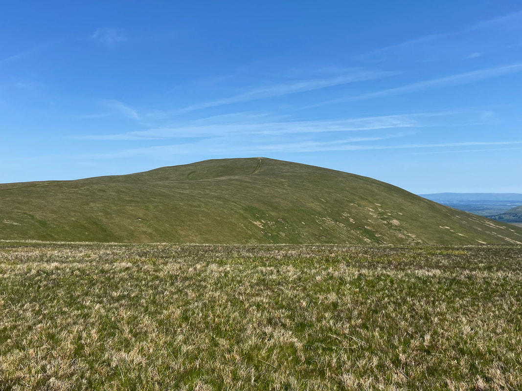
Great Dodd from the Stybarrow Dodd path
Grassy swathes give way to a rough path as we continue the ascent to Stybarrow Dodd. To the rear are Watson's Dodd & Stybarrow Dodd with Skiddaw & Blencathra distant.
The cairn near the summit of Stybarrow Dodd. The highest point is 15 metres south east of the cairn (where I am stood).
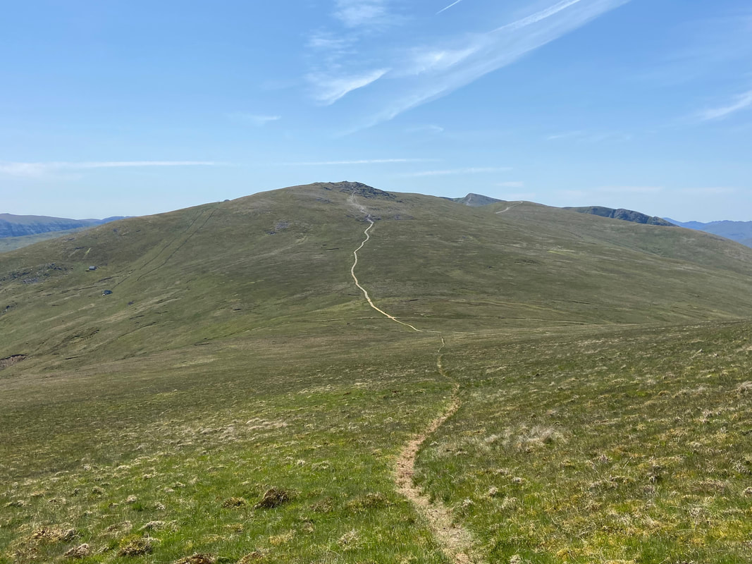
Heading down from Stybarrow Dodd to the crossroads at the Sticks Pass with our next summit of Raise ahead
The crossroads of paths at the Sticks Pass. Left for Glenridding, right for Legburthwaite & Thirlspot and straight on for Raise.
The Sticks Pass runs from near Legburthwaite in the west to the shores of Ullswater near Glenridding in the east. It is an ancient packhorse route which was used to cross the Helvellyn Range. A fence once ran along some of the route which served as a guide to the traveller, particularly in deep snow. In time the fence rotted and only the fence posts remained - the name "Sticks Pass" originates from when the wooden stakes or 'sticks' remained in situ and continued to serve as a guide until eventually disappearing.
The Sticks Pass runs from near Legburthwaite in the west to the shores of Ullswater near Glenridding in the east. It is an ancient packhorse route which was used to cross the Helvellyn Range. A fence once ran along some of the route which served as a guide to the traveller, particularly in deep snow. In time the fence rotted and only the fence posts remained - the name "Sticks Pass" originates from when the wooden stakes or 'sticks' remained in situ and continued to serve as a guide until eventually disappearing.
Looking back to the Sticks Pass & Stybarrow Dodd from the ascent of Raise
Green Side (White Stones) & Hart Side with Ullswater beyond
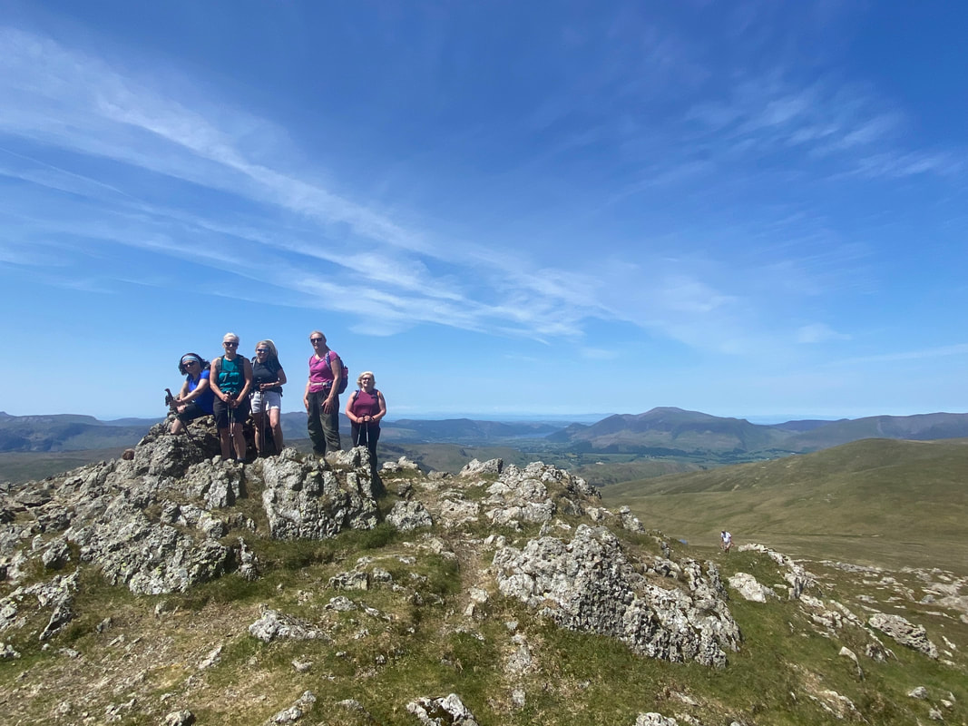
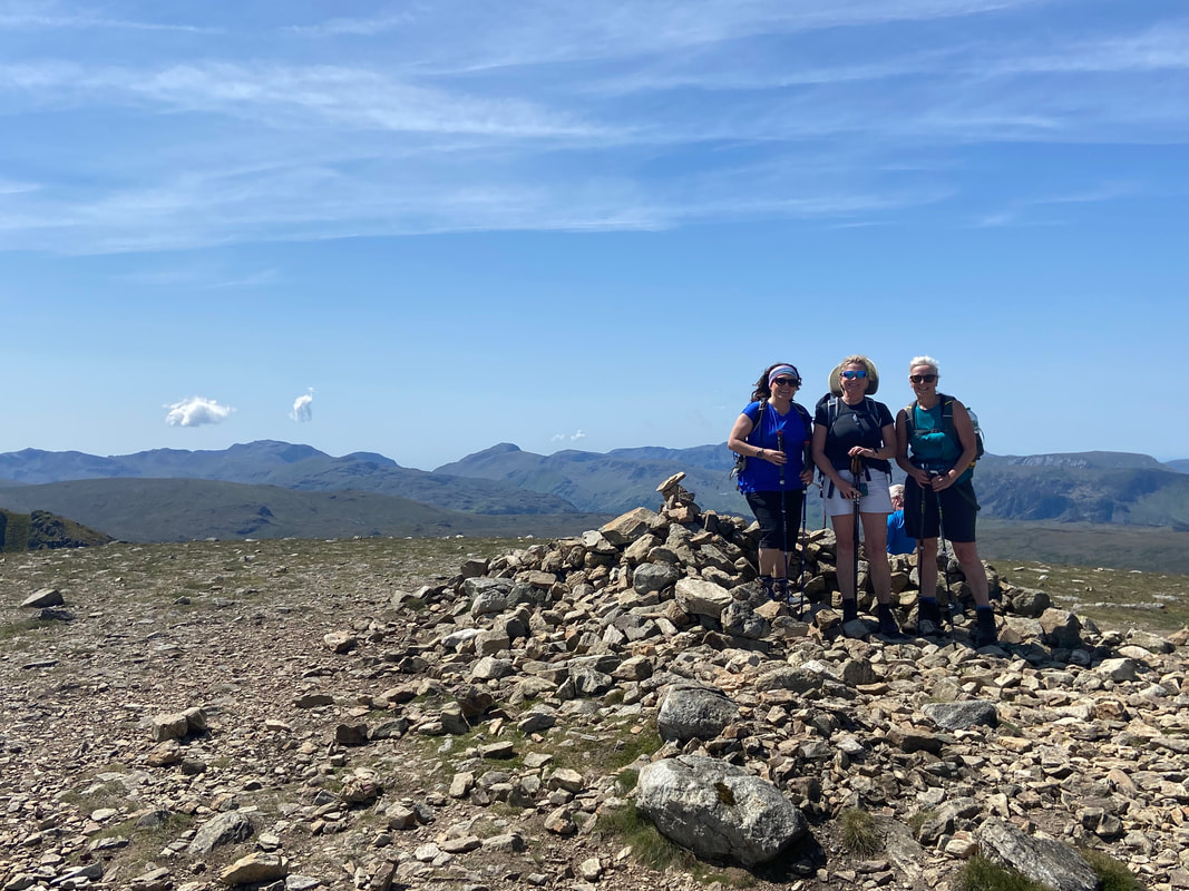
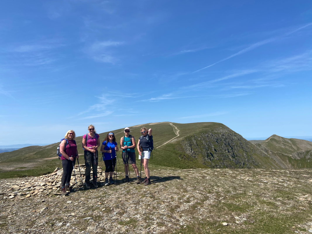
My walking companions on the summit of Raise
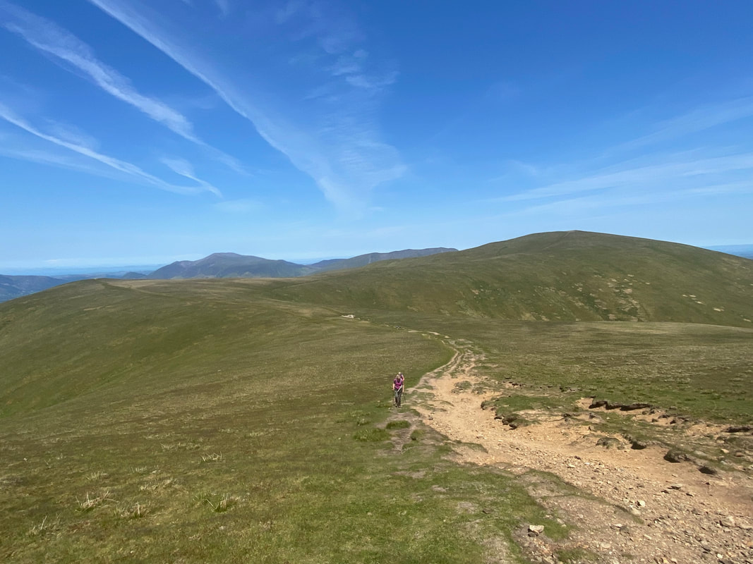
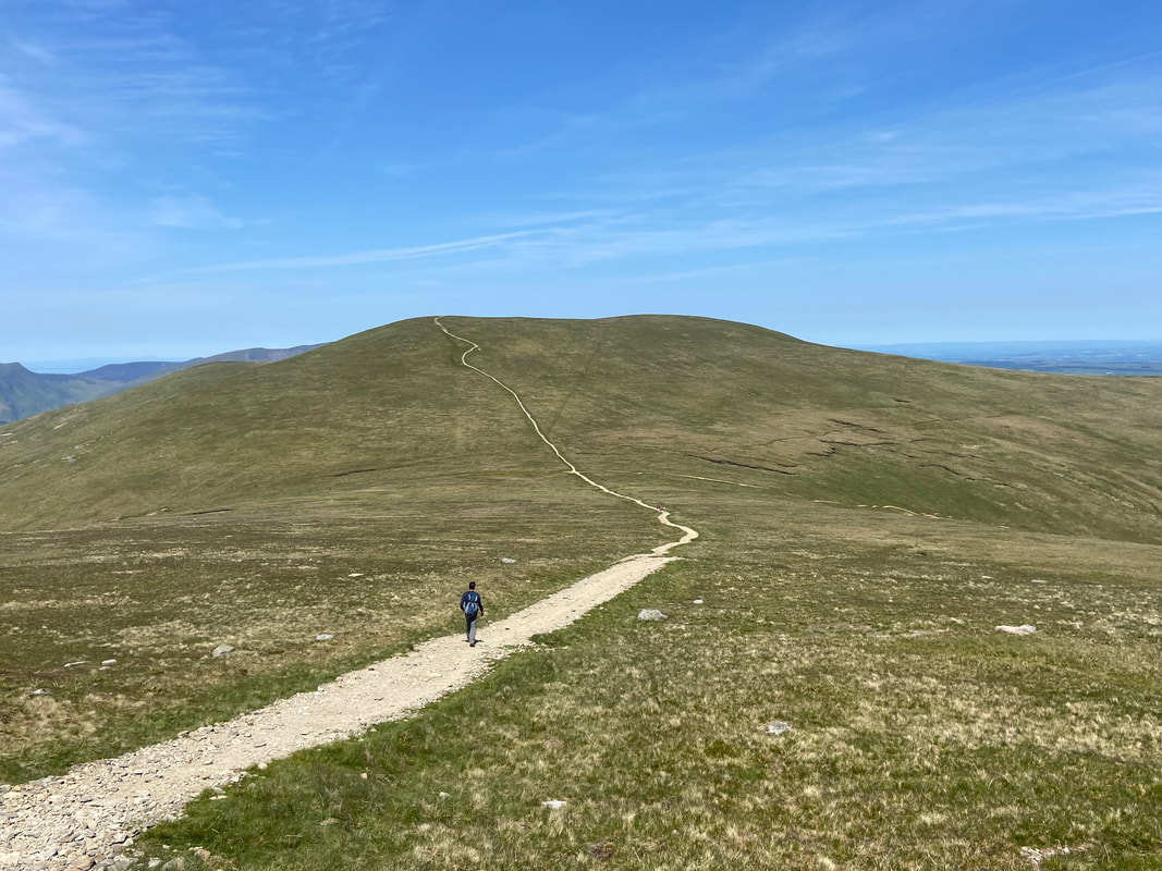
The path to White Side from Raise - on a day like today this was just glorious
Approaching White Side with Helvellyn Lower Man centre and Helvellyn over to the left. The path heading to the left is the zig zagging Keppel Cove route that eventually leads to Glenridding.
One of my favourite ascents in the Lake District - the north west ridge of Catstycam from Keppel Cove Dam.
The Dam wall can be seen to the left below the start of the ridge and the dried up tarn is bottom left. In 1927 disaster struck when a violent storm washed away part of the supporting embankment releasing the waters of the tarn. Consequently, a great flood of water headed down the valley to Ullswater causing major damage to the properties in Glenridding. The mining company subsequently replaced the dam with a concrete one, however in 1931 this was breached due to its poor construction. The dam wall was never repaired and therefore the tarn simply dried up. Walk reports showing further pictures of the dam and also the ascent of Catstycam via the north west ridge can be found here & here
The Dam wall can be seen to the left below the start of the ridge and the dried up tarn is bottom left. In 1927 disaster struck when a violent storm washed away part of the supporting embankment releasing the waters of the tarn. Consequently, a great flood of water headed down the valley to Ullswater causing major damage to the properties in Glenridding. The mining company subsequently replaced the dam with a concrete one, however in 1931 this was breached due to its poor construction. The dam wall was never repaired and therefore the tarn simply dried up. Walk reports showing further pictures of the dam and also the ascent of Catstycam via the north west ridge can be found here & here
Looking back to Raise from the approach to White Side with the Keppel Cove path heading this time to the right
The summit of White Side
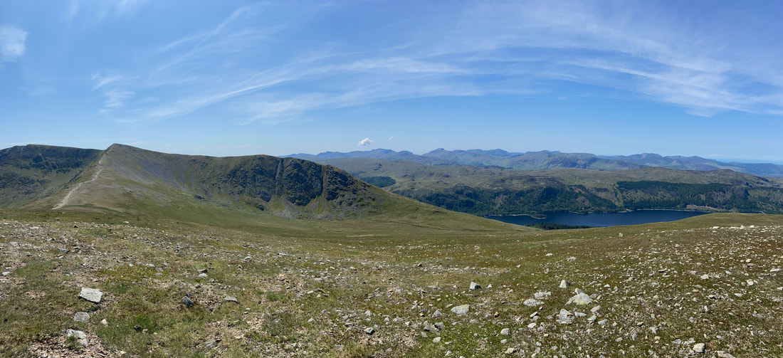
Another glorious panorama - this time from the summit of White Side
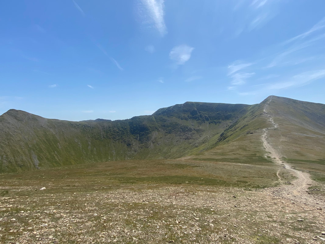
Looking over Brown Cove to Catstycam, Swirral Edge, Helvellyn and our approach to Lower Man
Helvellyn & Lower Man from the foot of the ascent
Catstycam and the lower reaches of Swirral Edge across Brown Cove. It is from here that you can appreciate the steepness of Catstycam's north west ridge.
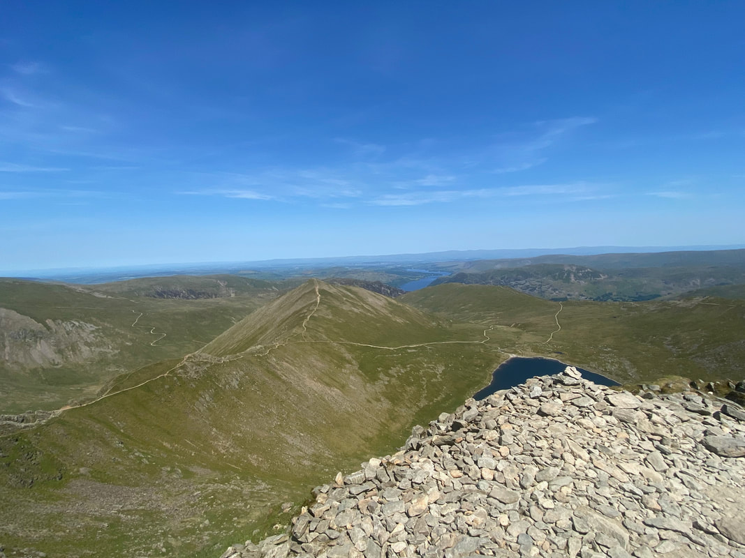
A panorama from the approach to Lower Man. The Keppel Cove path can be seen heading down the fell side to the left with Sheffield Pike & Glenridding Dodd just above it. Catstycam is centre with the full extent of Swirral Edge leading to Helvellyn.
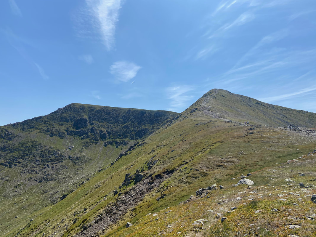
White Side & Raise from the ascent of Lower Man
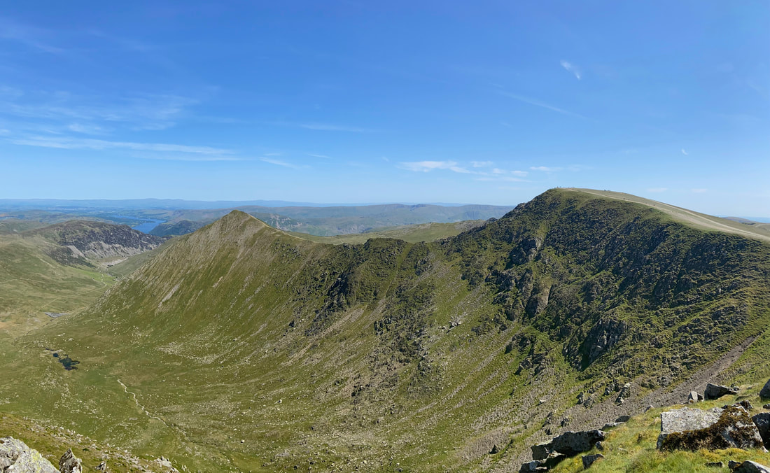
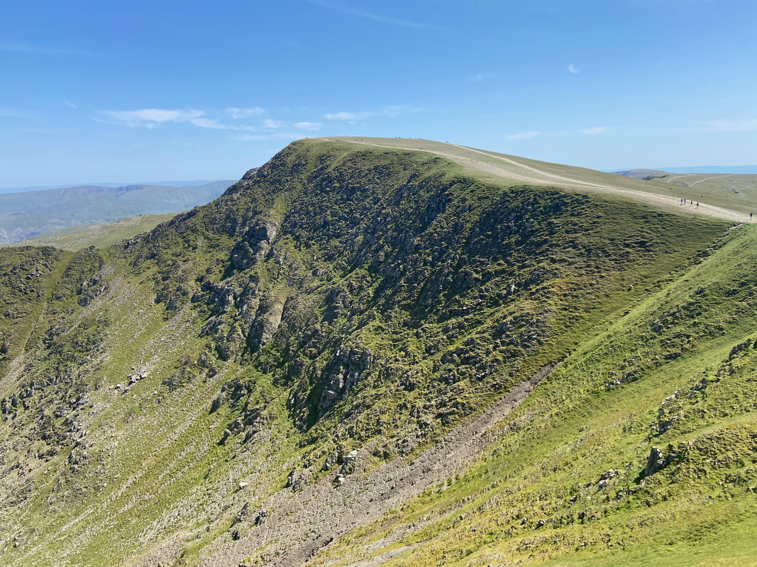
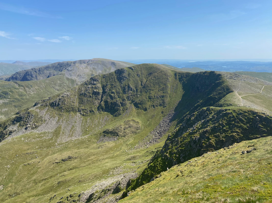
Browncove Crags from Lower Man. The path to Helvellyn coming up from Swirls can be seen running along the top of the ridge.
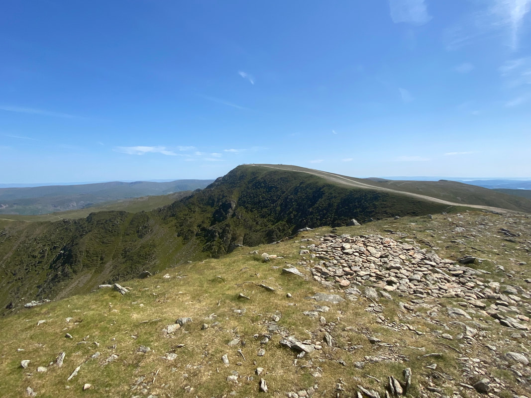
The summit of Lower Man looking to Helvellyn
Another panorama into Brown Cove - couldn't fail with the photography today, the conditions were perfect
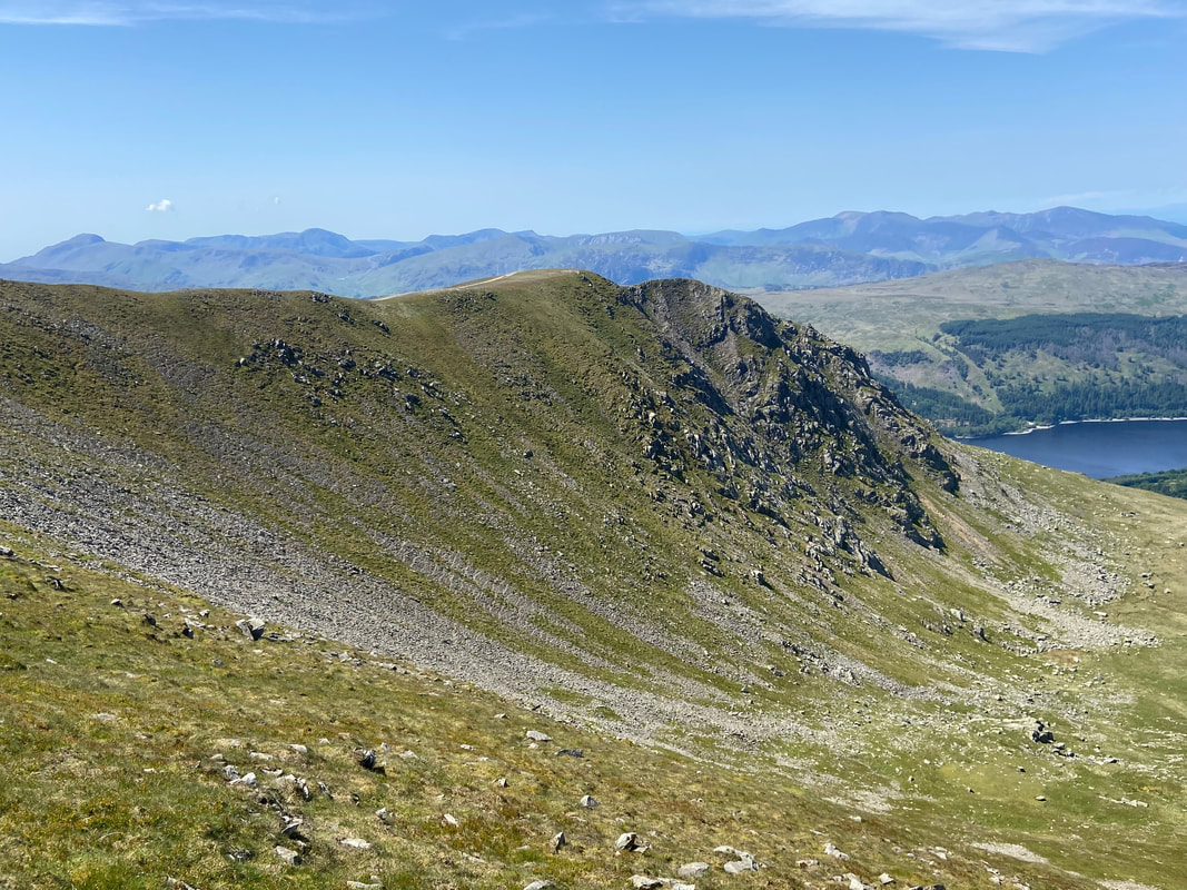
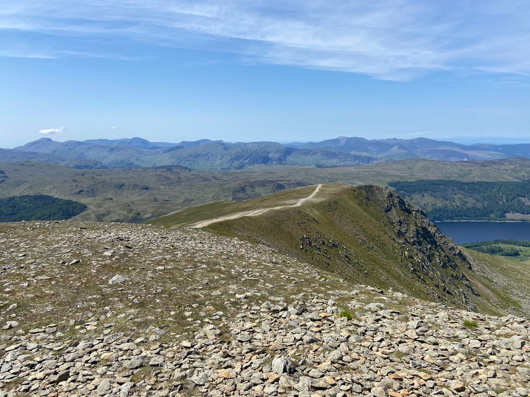
The Browncove Crags path from Lower Man with Thirlmere below to the right. On the far left of shot is Great Gable.
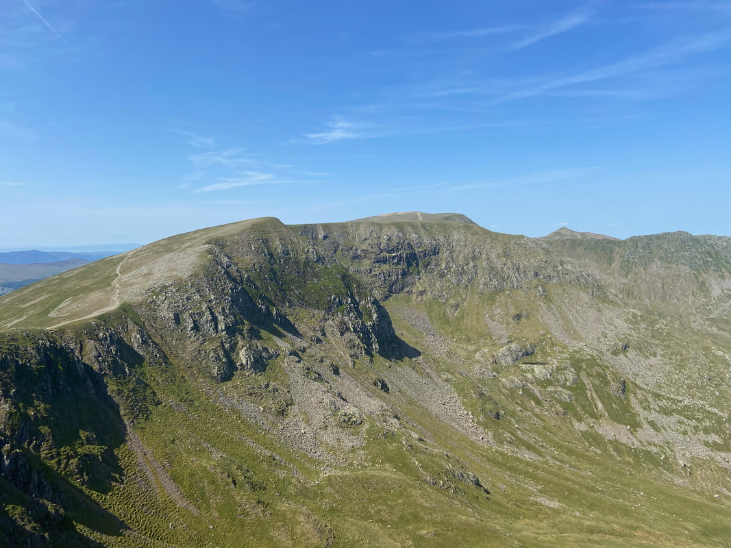
The north face of Helvellyn & the upper reaches of Swirral Edge across Brown Cove
Looking back to Lower Man as we head along the ridge to Helvellyn
Looking down on Swirral Edge - this is a glorious scramble, particularly on a day like today
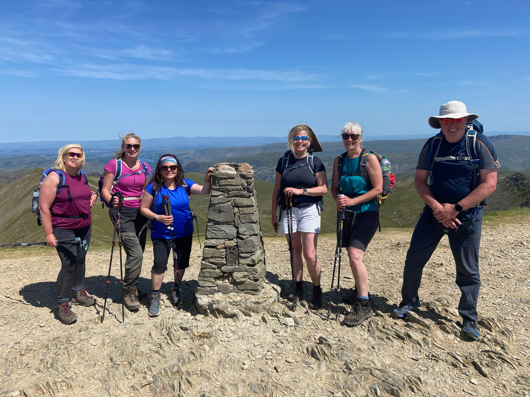
The six of us at the Trig Point on Helvellyn - the true summit lies a 120 yards over to the east
The summit of Helvellyn and what a view
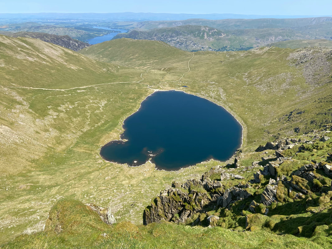
Red Tarn
The path on the left is the one coming down from the col between Catstycam & Swirral Edge. At Red Tarn this path forks - both paths can be used to return to Glenridding. The path to the left returns via Red Tarn Beck and the one on the right heads for The Hole in the Wall where you can either head over to Birkhouse Moor or return to Patterdale.
The path on the left is the one coming down from the col between Catstycam & Swirral Edge. At Red Tarn this path forks - both paths can be used to return to Glenridding. The path to the left returns via Red Tarn Beck and the one on the right heads for The Hole in the Wall where you can either head over to Birkhouse Moor or return to Patterdale.
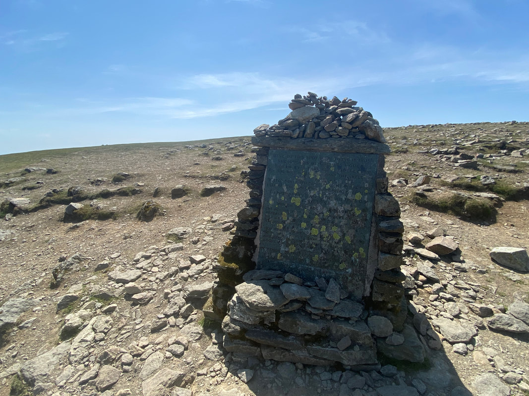
The Gough Memorial at the top of Striding Edge
The Gough Memorial commemorates a fatal fall down the east face of Helvellyn in wintry conditions in the spring of 1805. Charles Gough was a Manchester artist who set out to climb Helvellyn with only his faithful dog Foxie for company. He failed to return. At the beginning of the 19th century, fell-walking and mountaineering for pleasure were relatively new pursuits and Gough, alone on the mountains had no specialist clothing or kit. Three months later a shepherd came across a dog barking and beside her lay the remains of her unfortunate master. Foxie, an Irish Terrier, loyal to the end had remained with her master and some accounts report that not only had the dog survived but had a pup that didn’t make it. A Carlisle newspaper had reported: ‘The bitch had pupped in a furze near the body of her master.’ On a darker note, the same report concluded that the dog ‘shocking to relate, had torn the clothes from his body and eaten him to a perfect skeleton.’ Some reports speculated that ravens had attacked the body, while others stated that the body was untouched by mountain animal or bird.
The Gough Memorial commemorates a fatal fall down the east face of Helvellyn in wintry conditions in the spring of 1805. Charles Gough was a Manchester artist who set out to climb Helvellyn with only his faithful dog Foxie for company. He failed to return. At the beginning of the 19th century, fell-walking and mountaineering for pleasure were relatively new pursuits and Gough, alone on the mountains had no specialist clothing or kit. Three months later a shepherd came across a dog barking and beside her lay the remains of her unfortunate master. Foxie, an Irish Terrier, loyal to the end had remained with her master and some accounts report that not only had the dog survived but had a pup that didn’t make it. A Carlisle newspaper had reported: ‘The bitch had pupped in a furze near the body of her master.’ On a darker note, the same report concluded that the dog ‘shocking to relate, had torn the clothes from his body and eaten him to a perfect skeleton.’ Some reports speculated that ravens had attacked the body, while others stated that the body was untouched by mountain animal or bird.
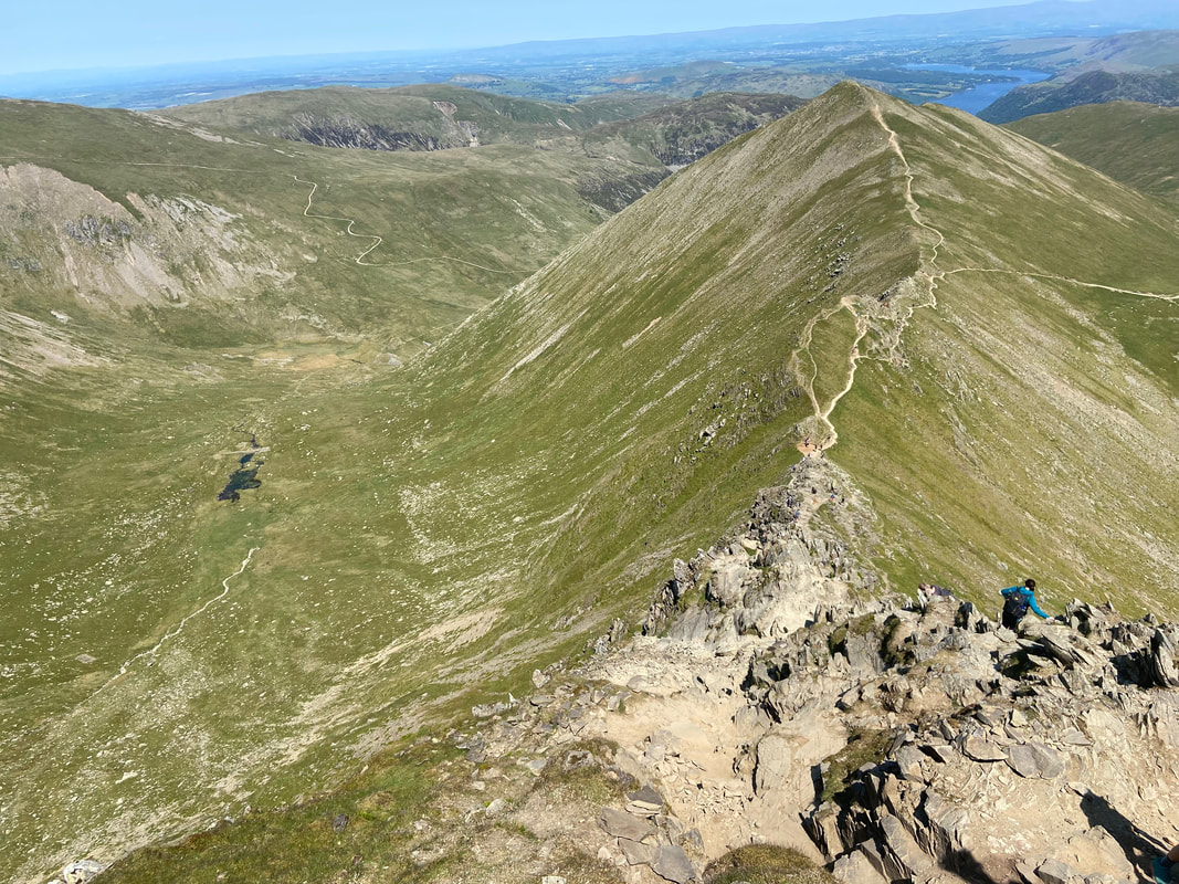
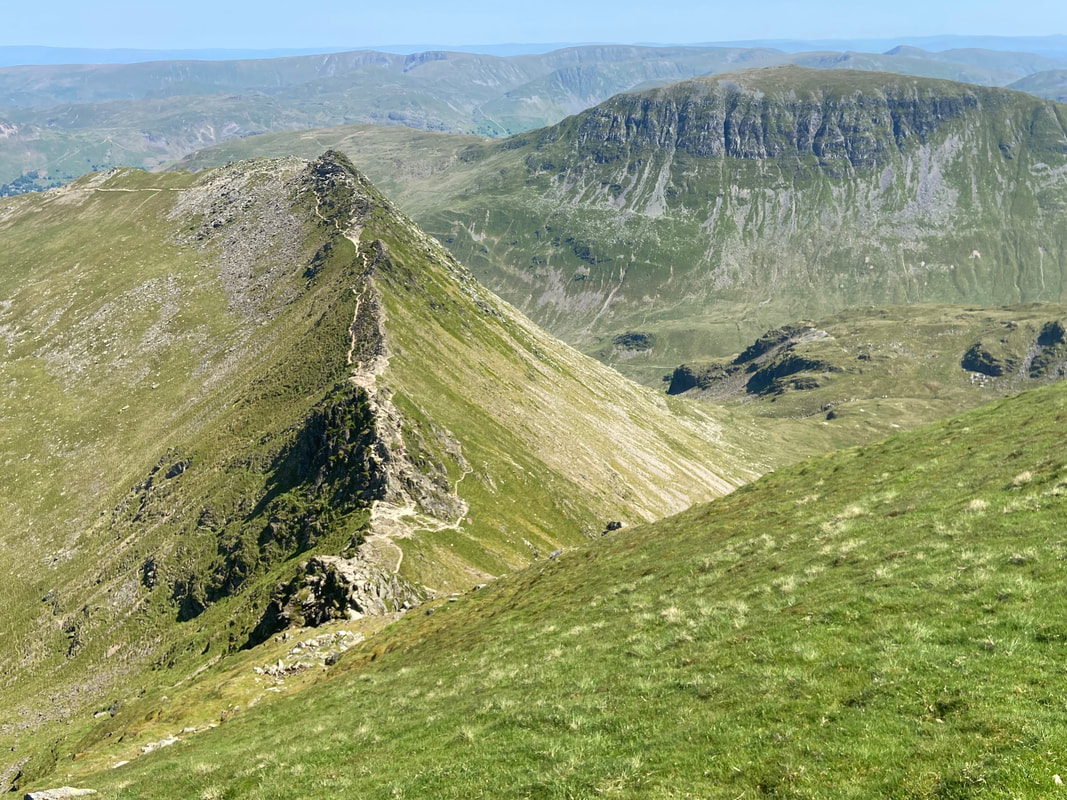
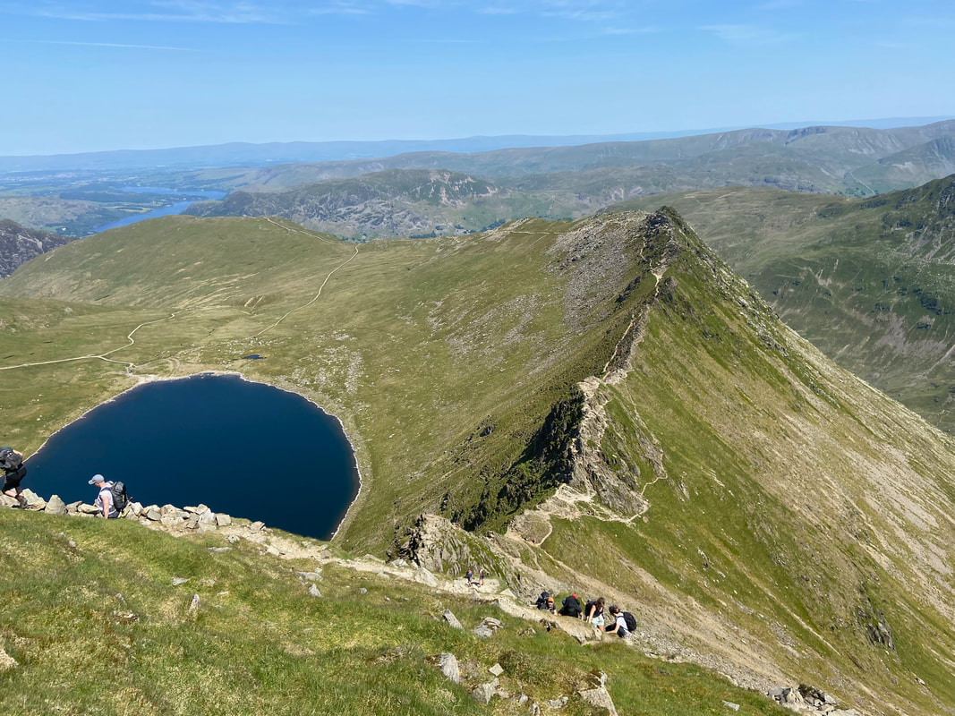
Striding Edge with St Sunday Crag to the right
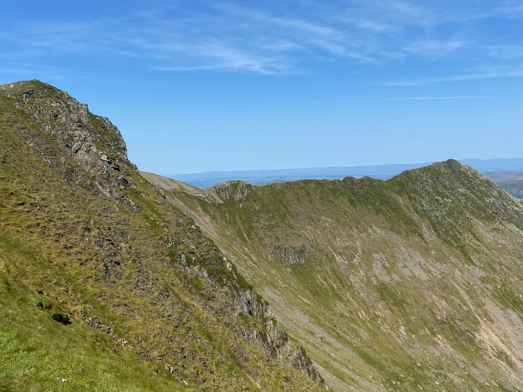
Another view of Striding Edge from a little further along the ridge
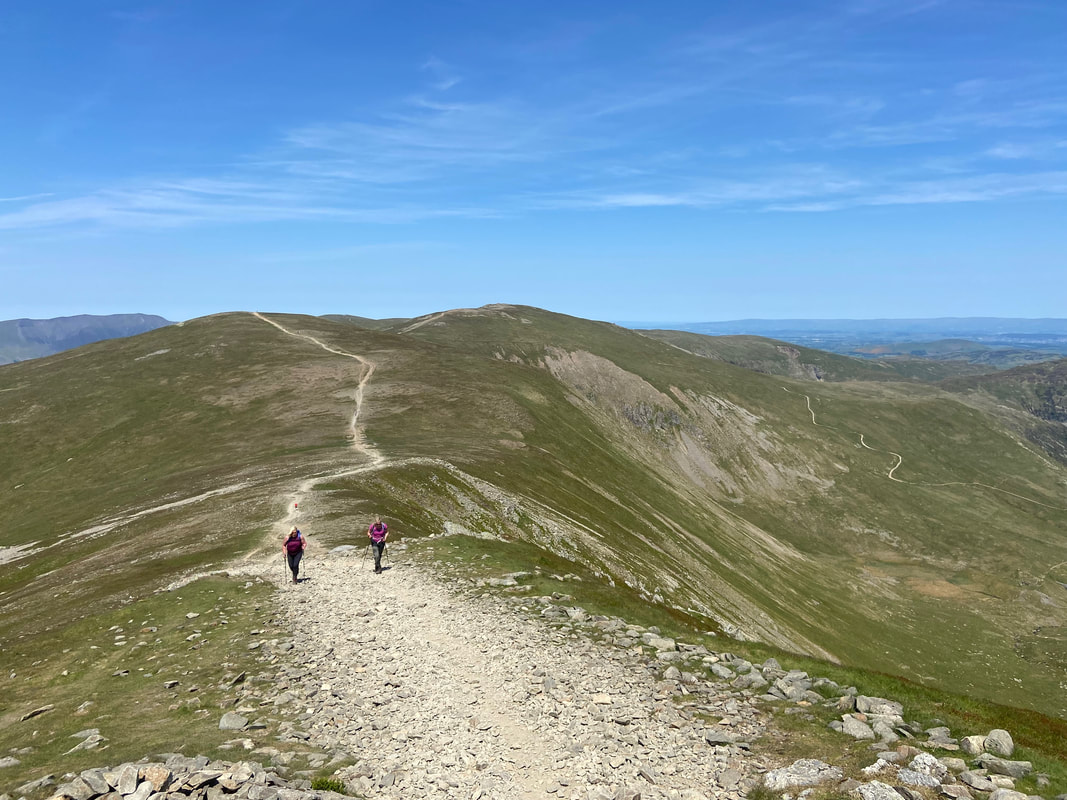
Heading along the ridge between Helvellyn & Nethermost Pike
As can be seen, a little further on the path splits into three - the left hand path (our route) heads for Nethermost Pike, the middle path stays below Nethermost and heads for Dollywaggon Pike and the lower path returns to Wythburn via Birks Side
As can be seen, a little further on the path splits into three - the left hand path (our route) heads for Nethermost Pike, the middle path stays below Nethermost and heads for Dollywaggon Pike and the lower path returns to Wythburn via Birks Side
Looking down Birk Side to Thirlmere
Striding Edge from Swallow Scarth
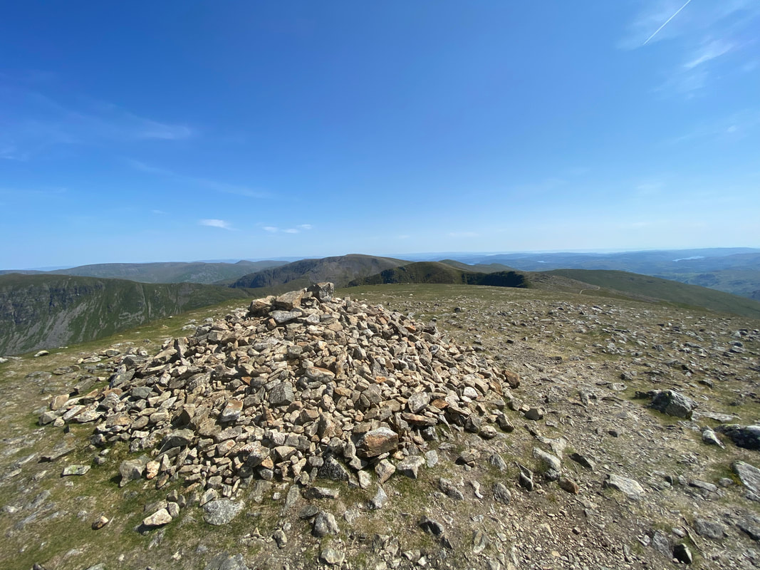
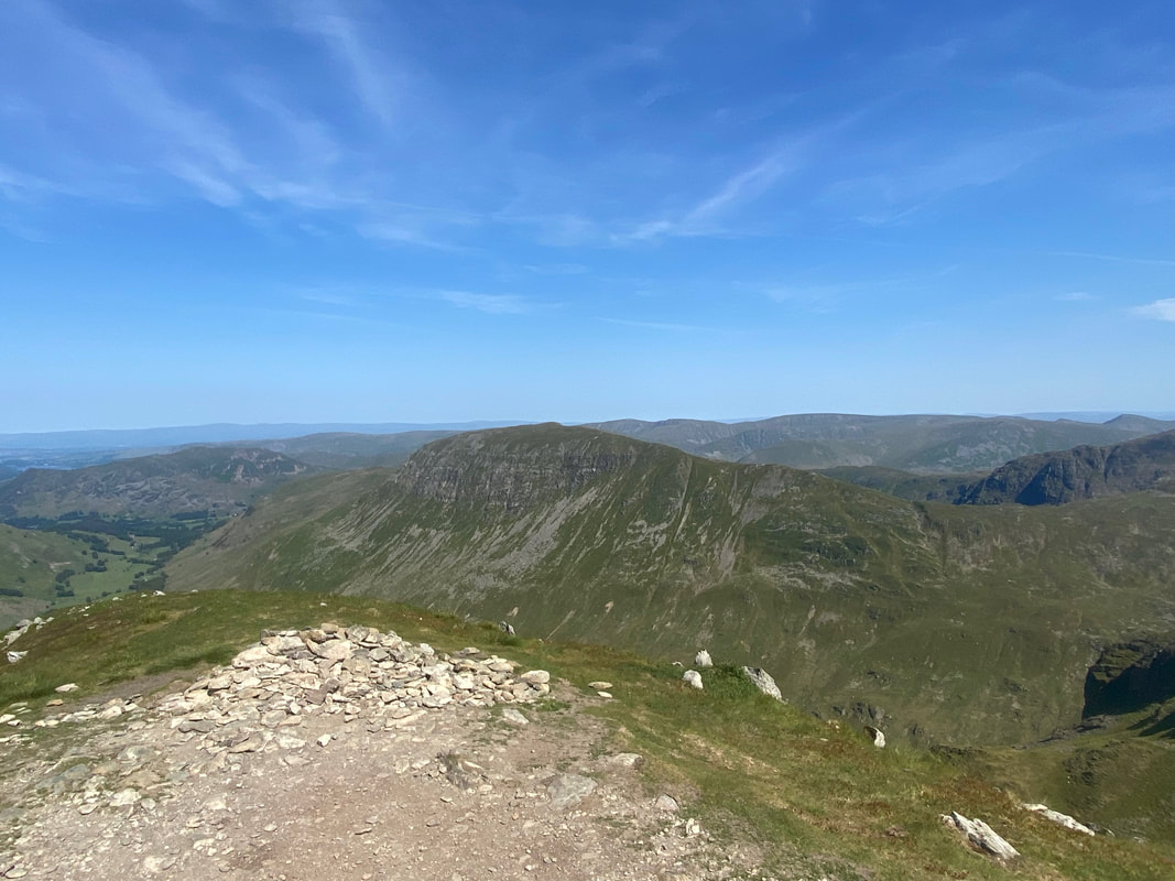
The summit of Nethermost Pike looking to Helvellyn with Catstycam over to the right
St Sunday Crag across Ruthwaite Cove with Hard Tarn sitting below
The summit of High Crag looking to Dollywaggon Pike and over to Fairfield
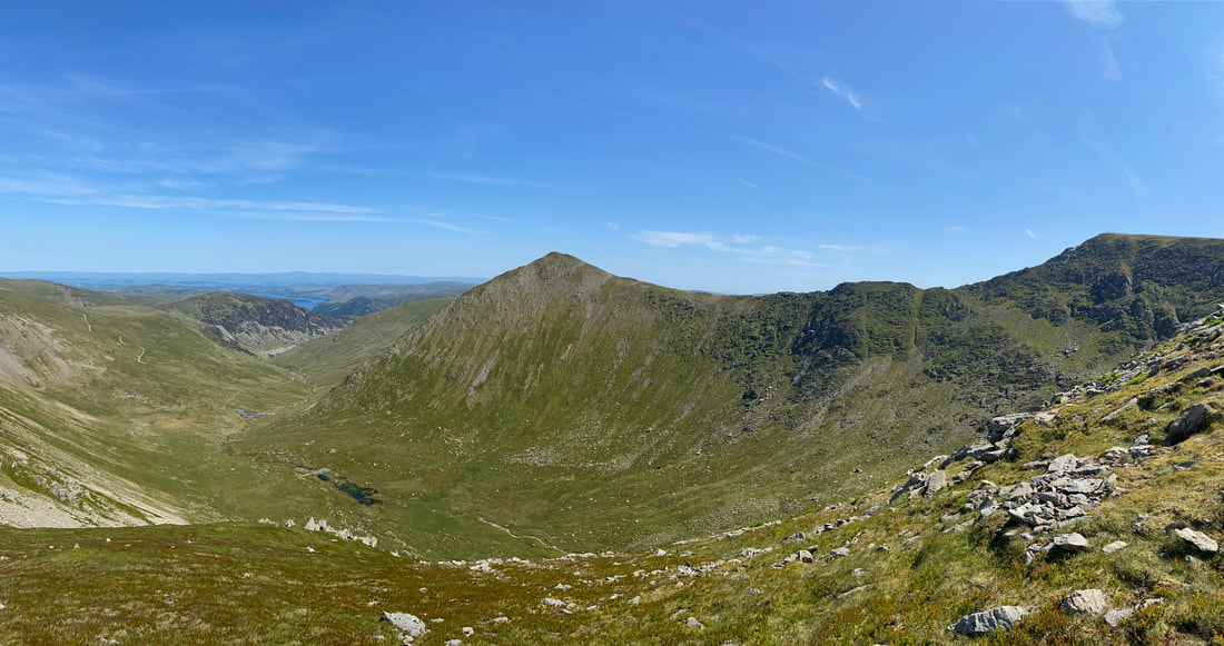
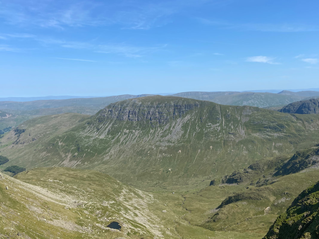
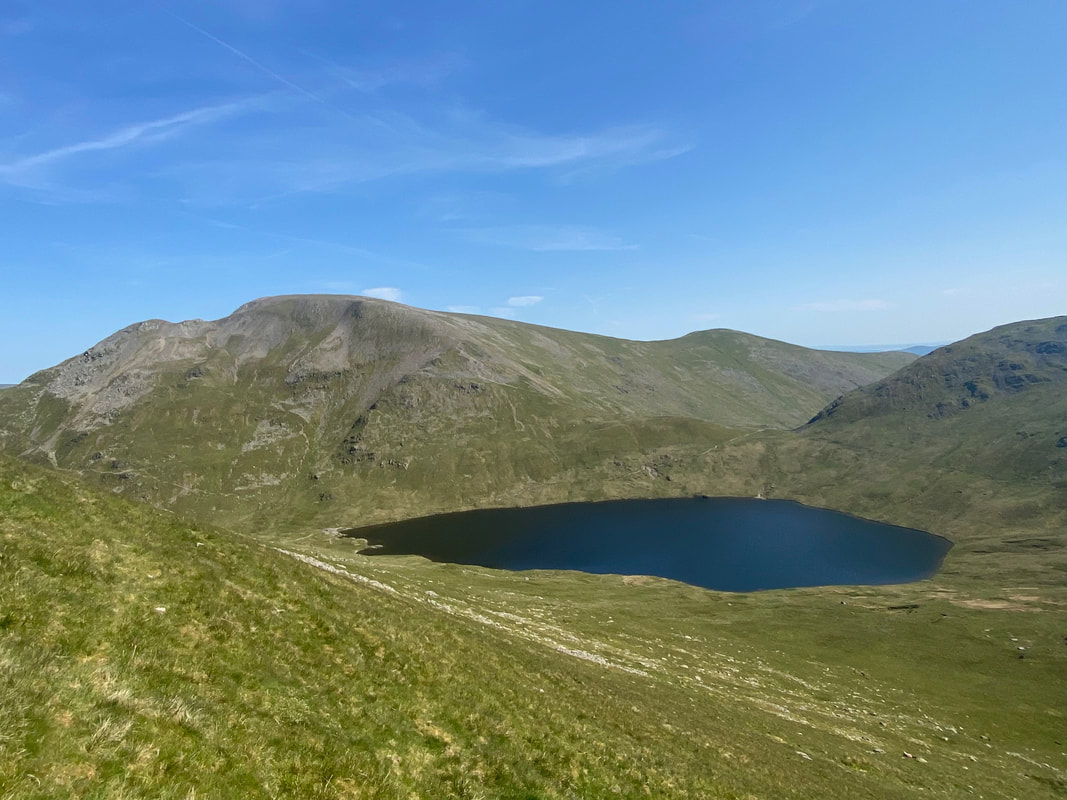
Dollywaggon Pike & The Tongue over Ruthwaite Cove with Cofa Pike & Fairfield beyond. Our ascent of Dollywaggon Pike would be via the higher of the two paths over to the right.
The final part of the ascent to the summit of Dollywaggon Pike
The summit of Dollywaggon Pike with St Sunday Crag beyond
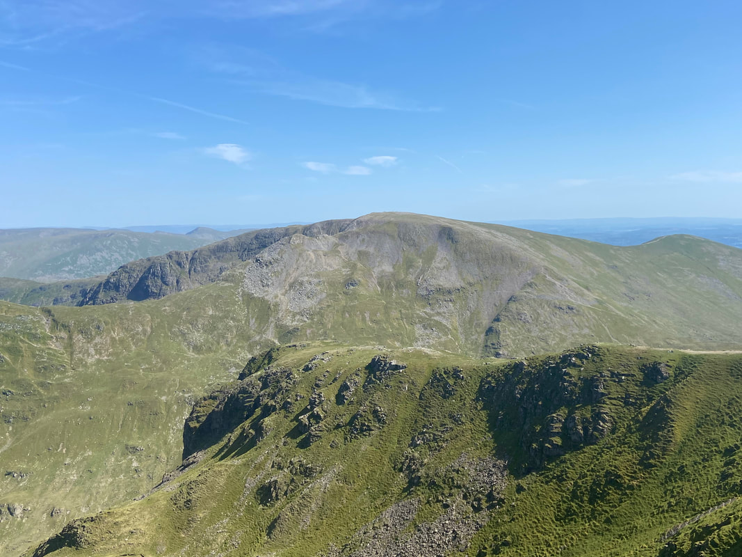
The Helvellyn Range from Dollywaggon Pike - a glorious view on a day like today
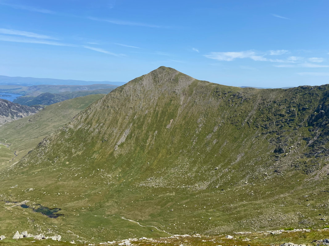
Falcon Crag with Fairfield beyond and Great Rigg over to the right
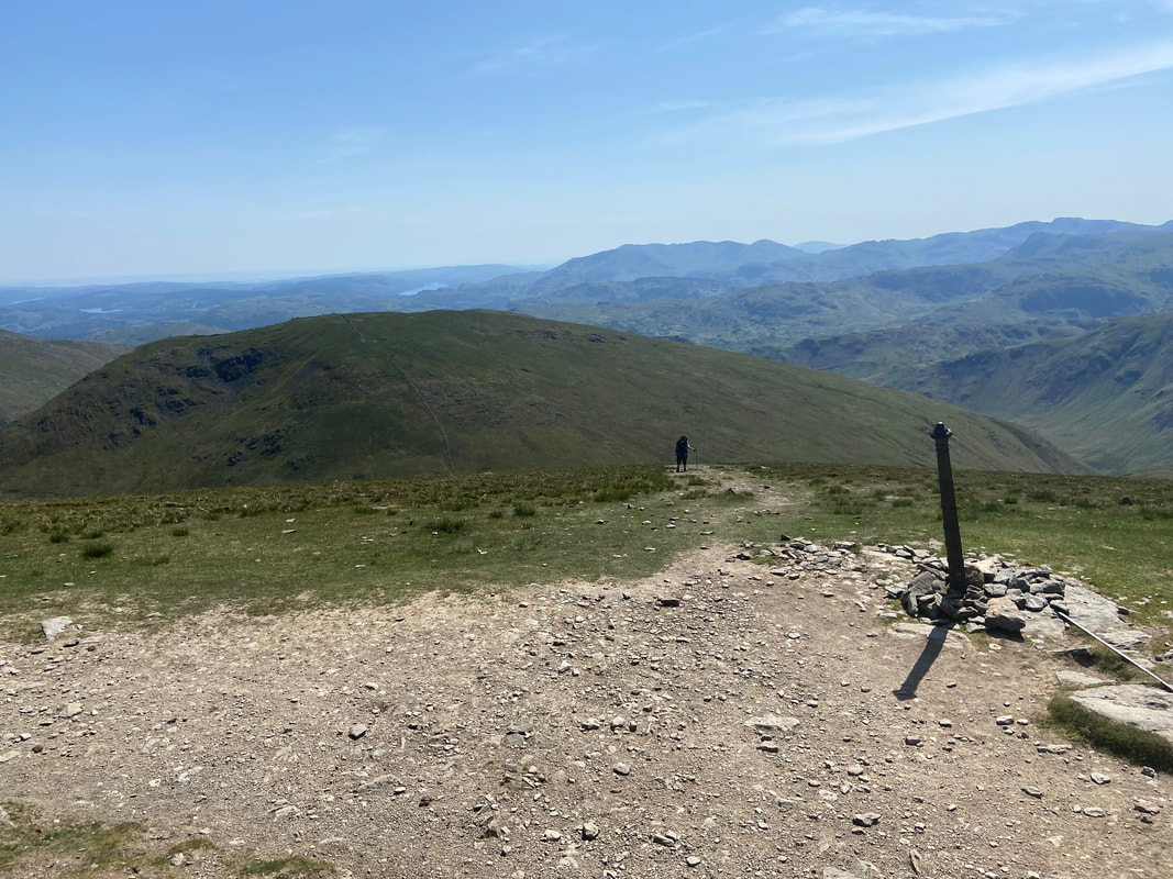
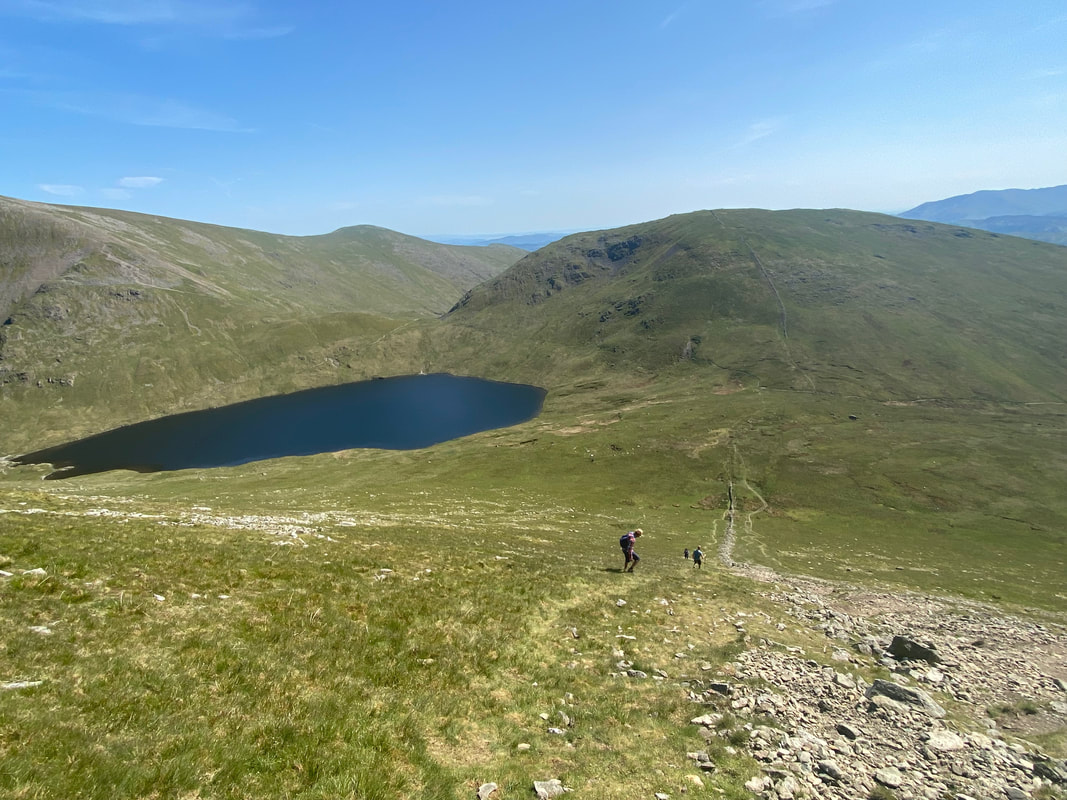
From the summit of Dollywaggon Pike we dropped back down to the main path on the ridge to a metal post which is also marked on the OS Map. The path to the left leaves for the zig zags that eventually reaches Grisedale Tarn however we were dropping down steeply to the col at the western end of the tarn. Our next and final summit of Seat Sandal is ahead.
Descending from Dollywaggon Pike - this is an extremely steep descent and before today I had only ever come up this way.
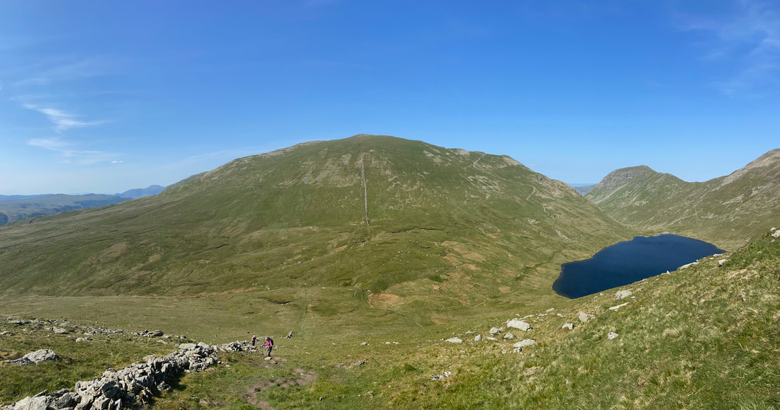
Descending Dollywaggon Pike looking over to Cofa Pike, Fairfield & Great Rigg with the slopes of Seat Sandal's east ridge to the right
Safely down at the col, I look back at some of the others making their way down
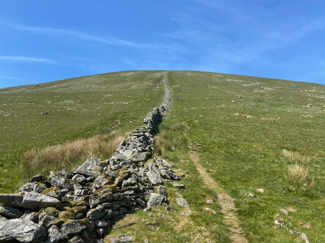
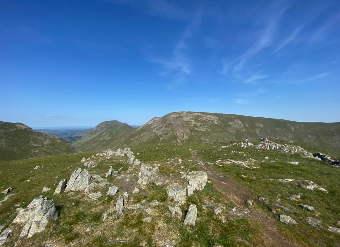
The ascent of Seat Sandal looking back to the col - at the end of a long day this was quite a challenge
Made it - the summit of Seat Sandal looking to Fairfield & St Sunday Crag with the Dollywaggon Pike zig zags over to the left
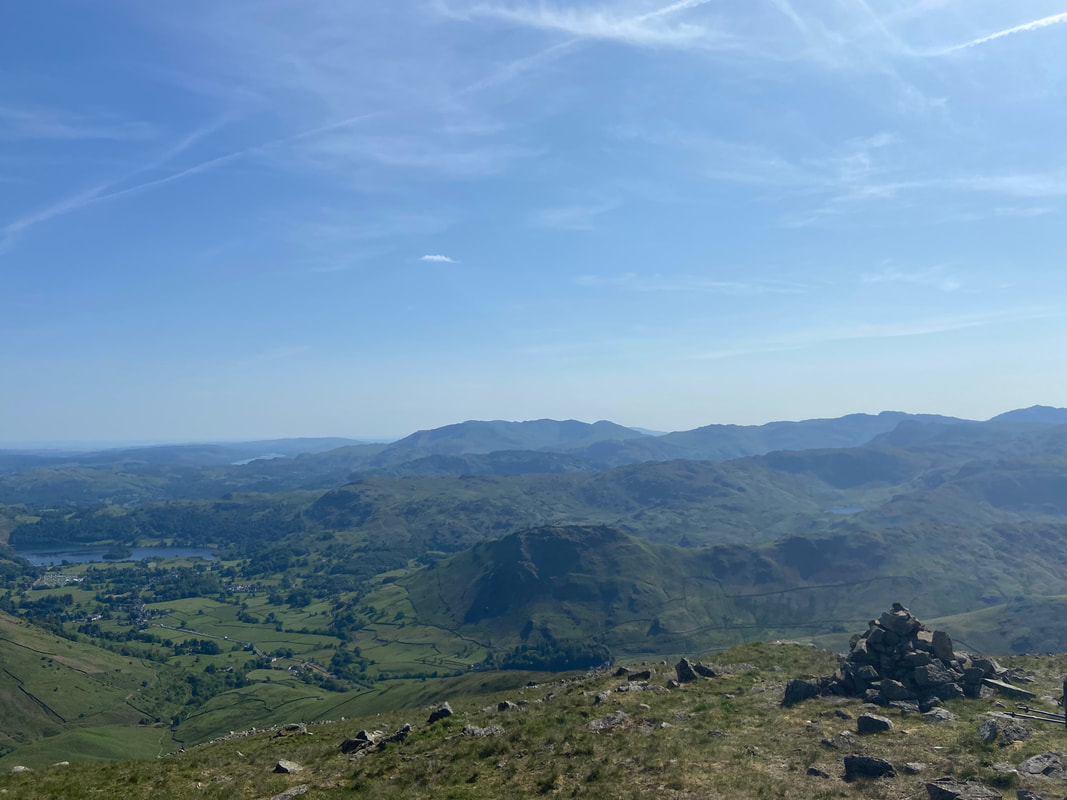
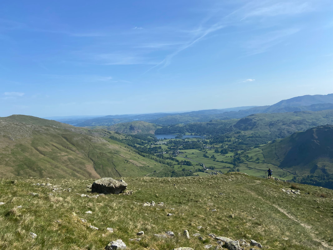
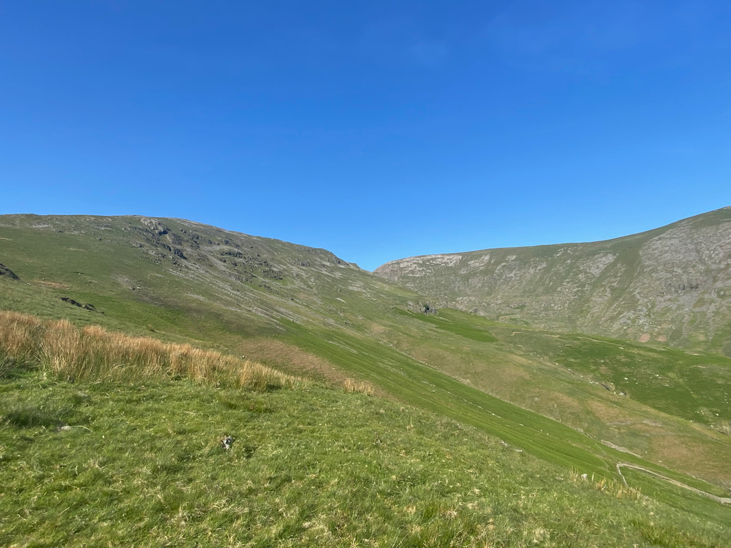
Our route of descent back to Grasmere stretches out before us as we reach the western cairn on Seat Sandal's summit ridge
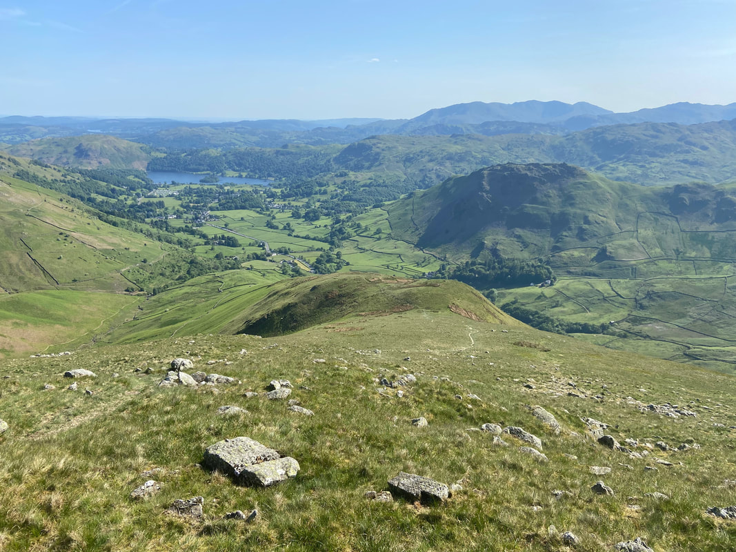
About half way down the descent and just one steep section remains - I can almost taste the beer that sits in the pumps in The Travellers Rest just waiting to be poured
The final section of the descent back to Grasmere
Looking back to Seat Sandal & Fairfield
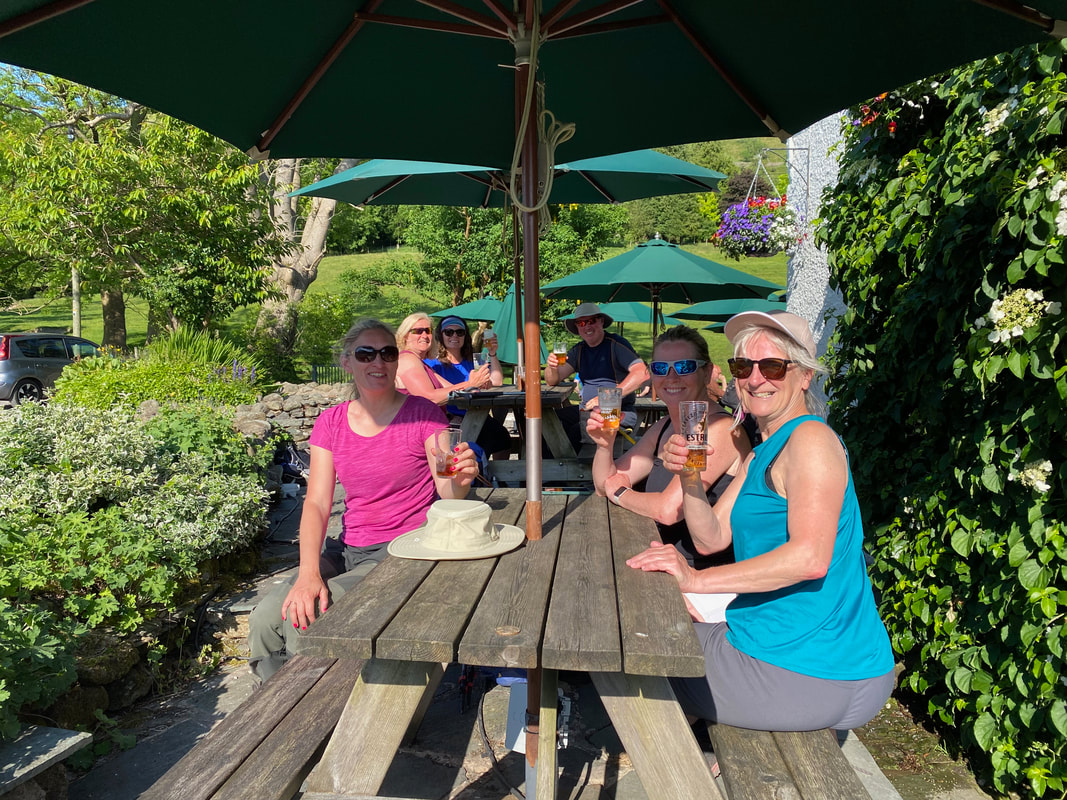
Cheers all after what was a fantastic walk in stunning conditions
