Crag Fell, Iron Crag, Caw Fell & Haycock - Saturday 11 August 2018
Route
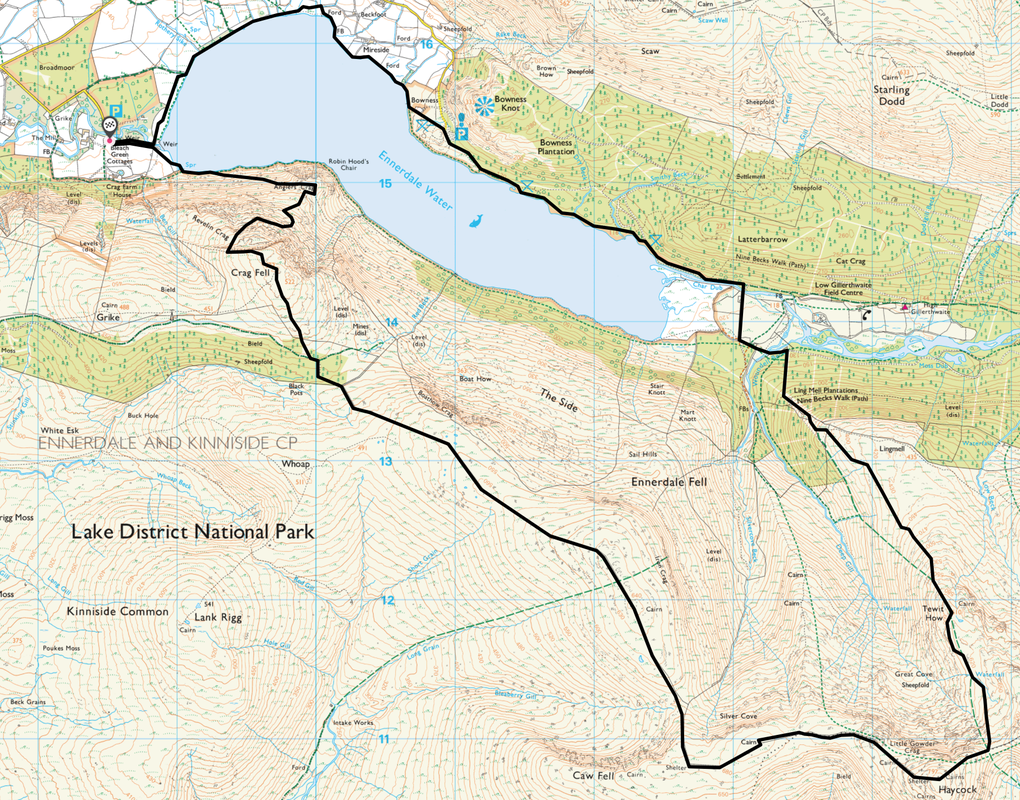
Bleach Green - Anglers Crag - Revelin Crag - Crag Fell - Iron Crag - Caw Fell - Little Gowder Crag - Haycock - Tewit How - Ling Mell Plantations - North Shore Ennerdale Water - Bowness - Bleach Green
Parking
Bleach Green Car Park, Ennerdale (Free) - Grid Ref NY086153
Mileage
13.7 miles
Terrain
Clear mountain paths for the most part with some rocky sections. There is some light scrambling up on to Little Gowder Crag. The path from Tewit How to Ling Mell Plantations is intermittent therefore in poor visibility take a bearing on the edge of the plantation - GR NY138129 or aim off to hit the wall at GR NY140131 then follow it to the left.
Weather
Sunny and warm with light breezes - overcast as we left Haycock.
Time Taken
8hrs
Total Ascent
4347ft (1325m)
Wainwrights
3
Map
OL4 - The English Lakes (North Western Area)
|
GPX File
|
| ||
If the above GPX file fails to download or presents itself as an XML file once downloaded then please feel free to contact me and I will send you the GPX file via e-mail.
Walk Description
We have had todays walk on the radar for quite a while. Whilst we have been up and over Crag Fell, Grike, Whoap & Lank Rigg many times we have never ventured further on to Iron Crag, Caw Fell and beyond - when we have been up that way it has always been approached from Wasdale. We also wanted to bag the Nuttall of Iron Crag therefore we drove over to Ennerdale Bridge and parked up at Bleach Green - we were the first here this morning but knew that on a Saturday in August it would fill up pretty quickly. There are a few other Car Parks in and around the start but this one is literally 5 minutes walk from the lake - and it is free!
After a quick Bacon Sarnie we readied our gear and were off - a glorious clear and warm day. It was 0900 and we had the area to ourselves as we walked through the outer edge of the Broadmoor Plantation and into the bright sunshine. From the South Shore a vague path branches off the main route to head up to Anglers Crag - this path is easily missed and whilst it is unclear at the start it soon widens to become more apparent. Reaching the col between Anglers Crag & the ascent to Crag Fell, it is worth a short walk to the summit of the former to enjoy the fantastic views on offer to Great Borne and up to the head of the Ennerdale valley. Looking up to Crag Fell the route ahead is unclear - with the bulk of Revelin Crag blocking a direct ascent to the summit therefore the best approach is via the Crag Fell Pinnacles - fangs of rock which are in clear view to the right. A clear path leaves Anglers Crag to head through the bracken & heather and this should be followed to reach a path which is still some distance from the scree ahead. At the path junction the route turns to the left in what in essence is the wrong direction but soon bears around to the right after a 150 yards or so. Soon a small cairn confirms the way ahead on a grassy and sometimes stony rake to pass above the Pinnacles - they are worth exploration as there are superb vistas over Ennerdale Water.
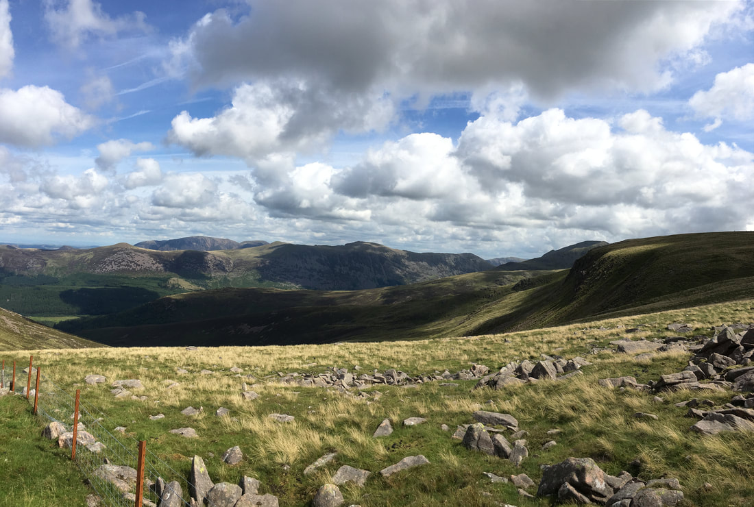
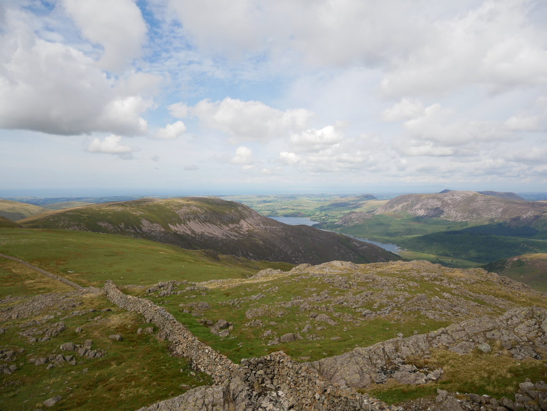
From the Pinnacles the route slants below Revelin Crag to reach another rake - this time more grassy in terrain to reach a metal pole. This is the main path coming up from Ben Gill and from here simply turn left and follow the path to attain the summit of Crag Fell - superb views from here down Ennerdale. From Crag Fell there now begins almost 4 miles of delightful walking to reach Caw Fell via Iron Crag - this is a delightful transit on good ground and we had seen one person who was making their way towards Whoap - it felt like we were walking in a big load of nothing! The route drops into a col between Iron Crag & Caw Fell and there is a steep pull up to reach the summit ridge from where a wall is followed to reach the summit cairn. We had company on the summit - two pairs of walkers who were doing an out and back from Haycock. After a nice break for lunch sitting up against the wall we headed off for Haycock - the wall is followed on its northern side before a stile gives access to the south. The path now rises gently towards Haycock and bypasses Little Gowder Crag to the right but we remained straight ahead to enjoy the delightful scramble to the summit. Regaining the path we soon reached the top of Haycock to once more take in the superb views on offer - particularly over to Scoat Fell, Steeple and the Scafell range.
At this point we toyed with the idea of heading over to Scoat Fell & Steeple but decided enough was enough today therefore once we were down in the col we turned left towards Tewit How on a gently descending grassy path. Reaching Tewit How, a short detour off path gains the summit and regaining the path the way ahead is clear but peters out on occasion before disappearing altogether. In clear visibility the route ahead to Ling Mell Plantation is never in doubt but in mist a bearing on the plantation or an aiming off point would need to be taken. At a wall junction the path reappears and drops steeply through the plantation to finally arrive on the valley floor at Woundell Beck. The forest track is then followed to cross a footbridge over the beck where shortly there is an option to return to Ennerdale Bridge via the South or North Shore. We chose the North Shore today and whilst it is a bit of a trudge along the forest track we did have the lakeshore for company all the way back to the Car Park.
To some the fells to the South West of Ennerdale Water do not demand revisiting once the Wainwrights have been bagged. To us they are a delight and provide solitude, great walking terrain and excellent views. Today was one of those days when we hardly saw a soul yet were treated to a glorious walk with views to match. The day was topped off with an excellent meal in The Fox & Hounds in Ennerdale Bridge - the food and beer were, as always superb.
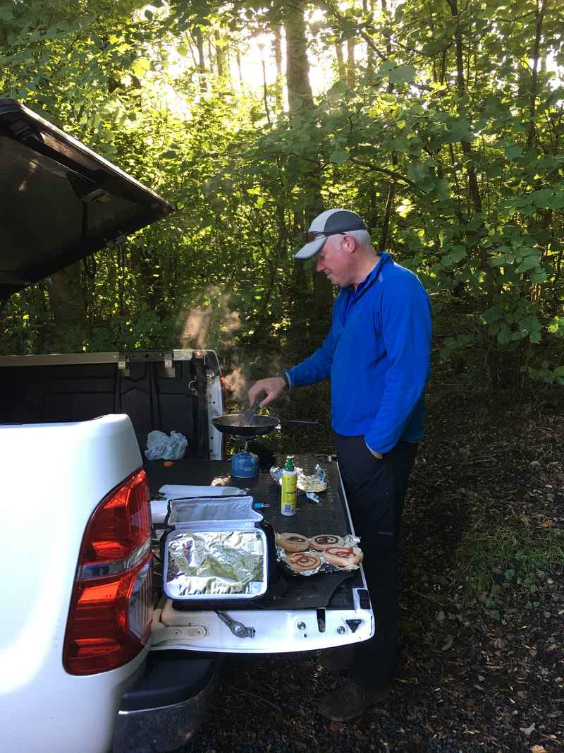
As is customary in the Walsh household these days, a pre walk Bacon Sarnie was in order today
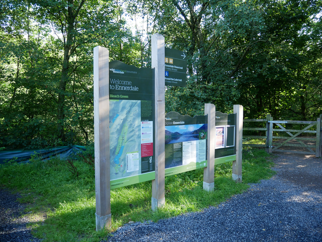
The Car Park at Bleach Green in Ennerdale was the starting point for the walk today - a mere 5 minute walk to the lake shore
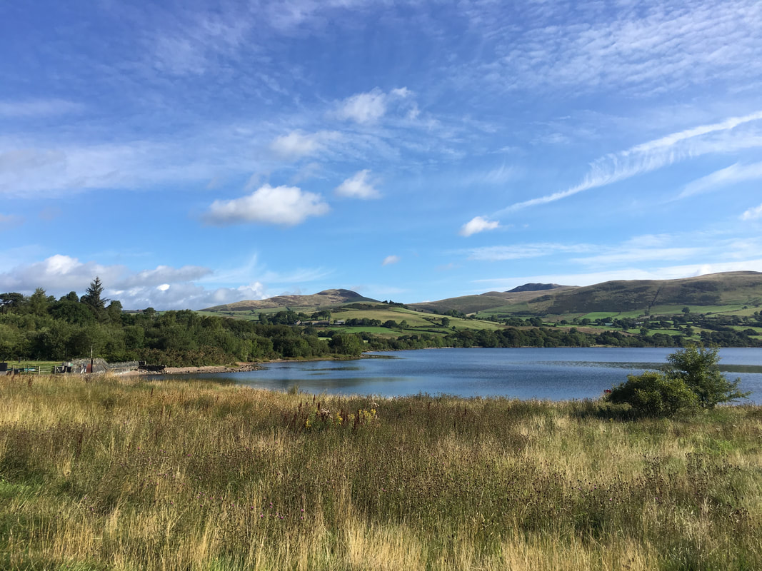
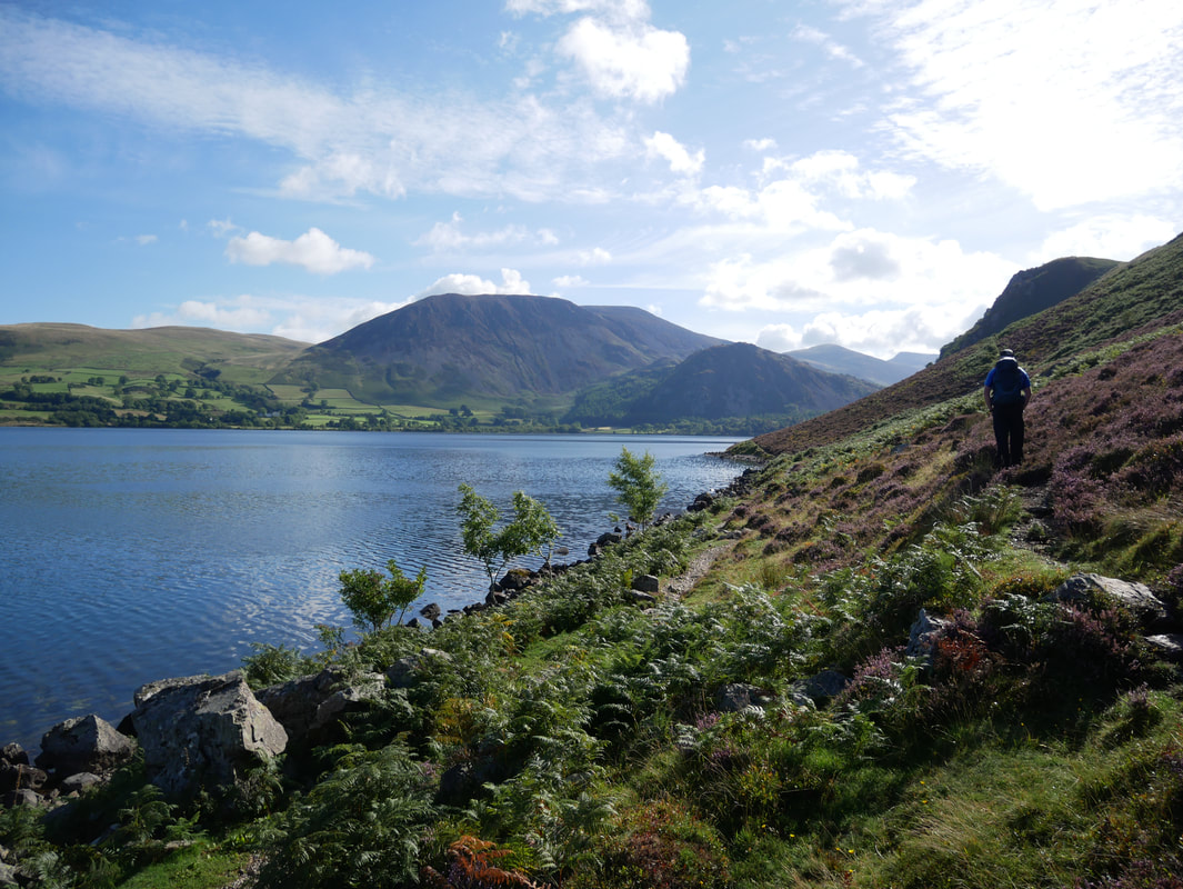
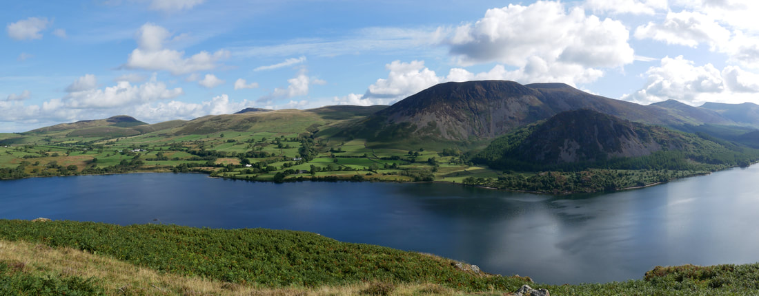
Looking across Ennerdale Water to Knock Murton Fell
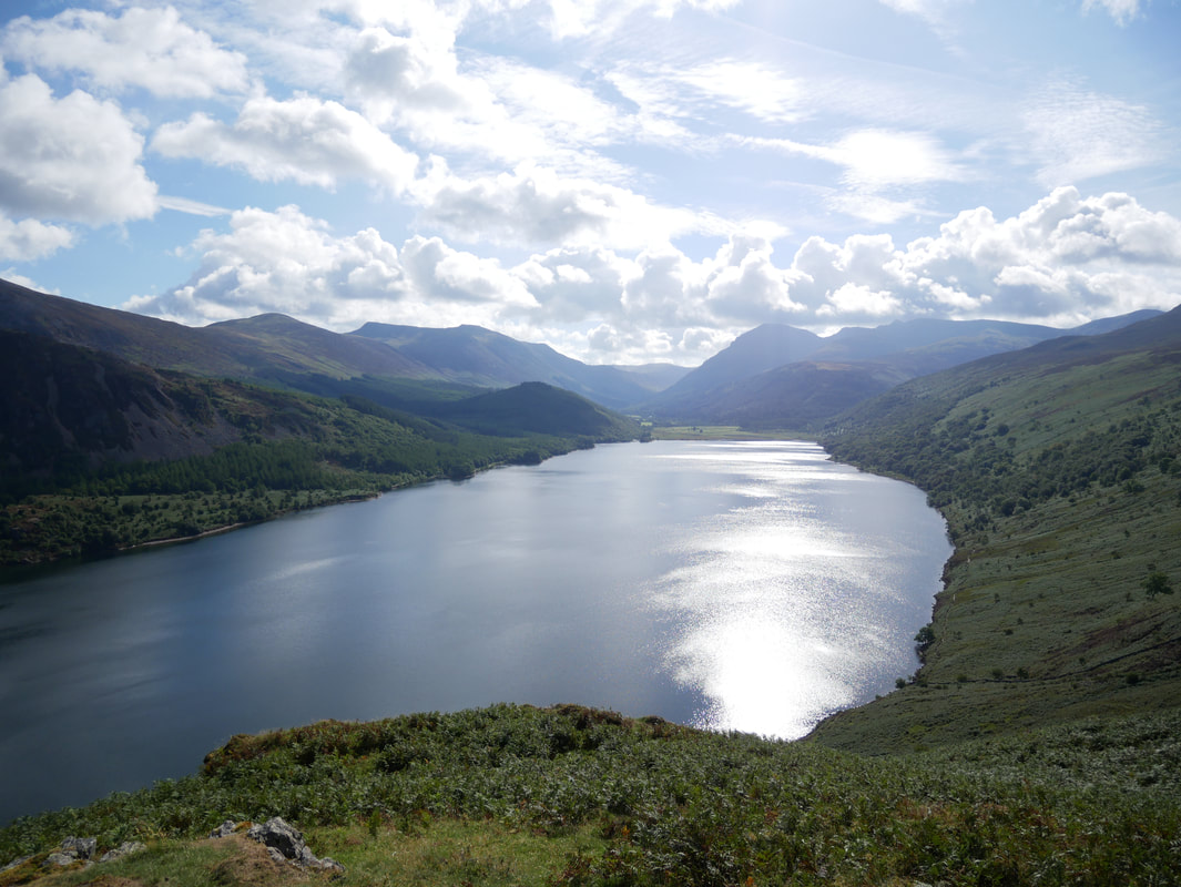
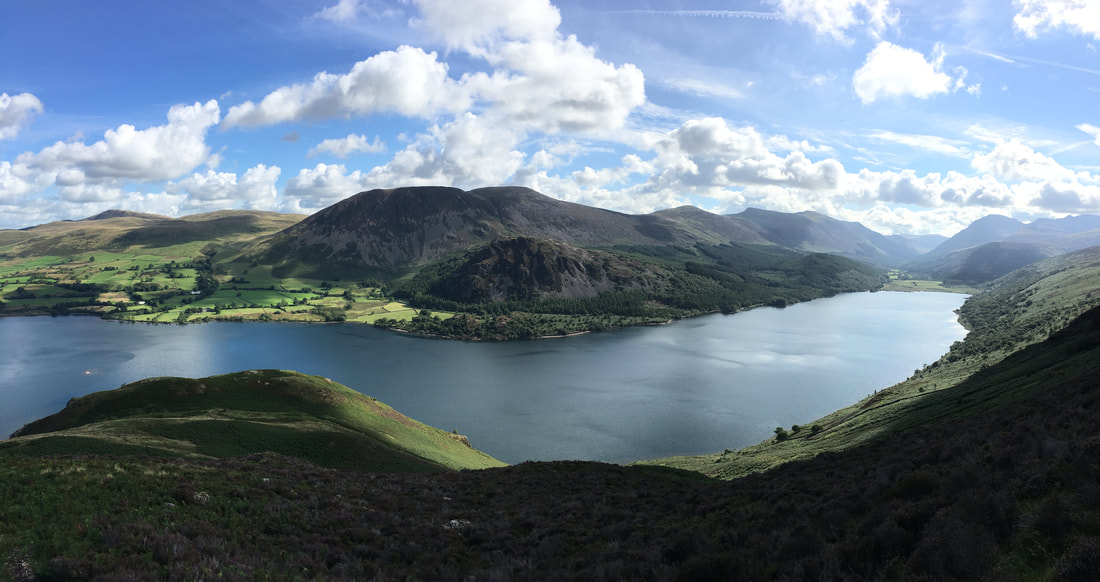
Ennerdale Water looking North
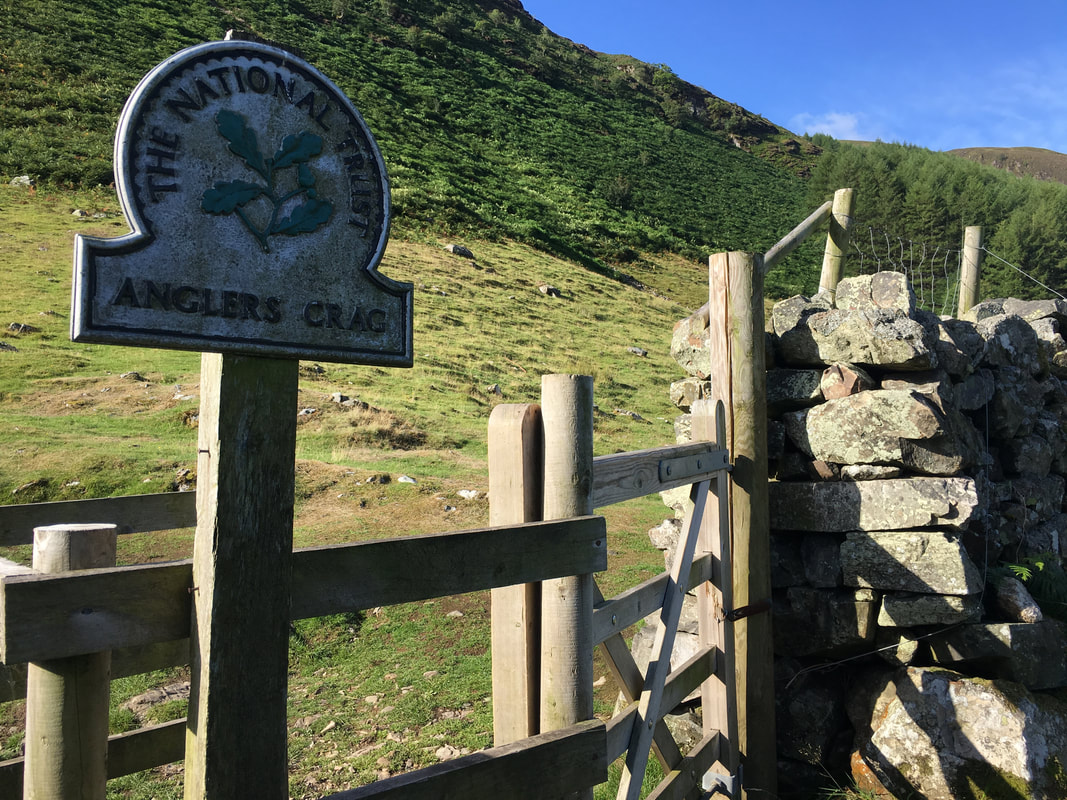
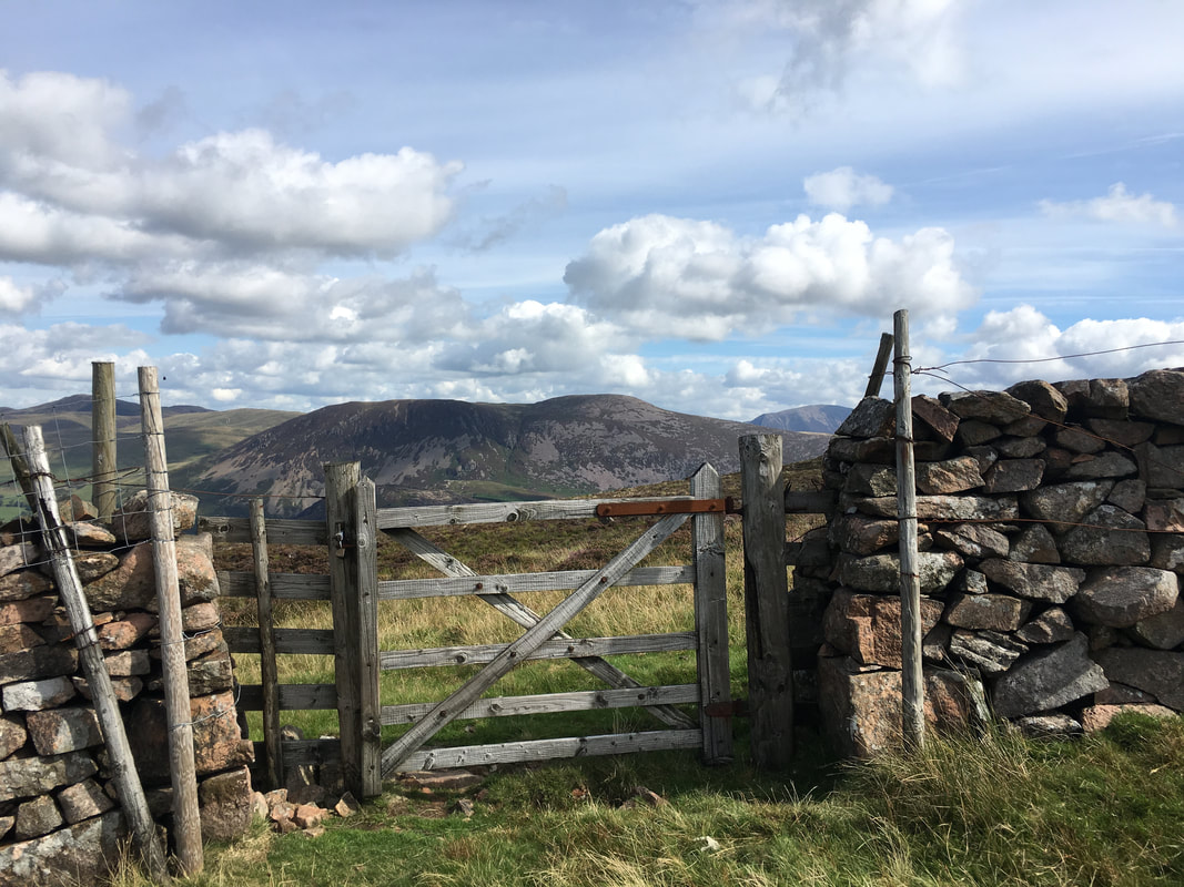
From the west a gate is reached giving access to the Southern Shore line
From the main lake shore a vague (at first) path heads up towards Anglers Crag - it is easily missed. The path is at GR NY 09224 15082
Our route of ascent to Anglers Crag
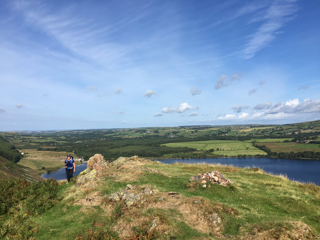
Up on the summit of Anglers Crag
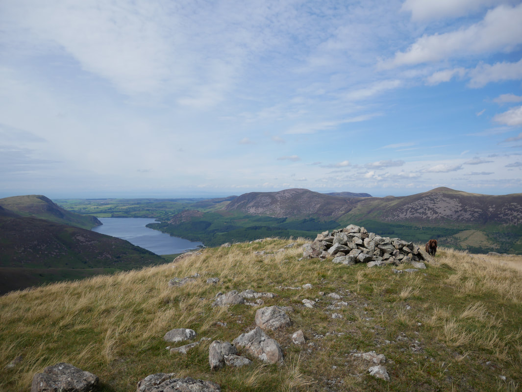
It may be a tiddler but the views from Anglers Crag are on a grand scale - here we are looking to Herdus, Great Borne & Bowness Knott
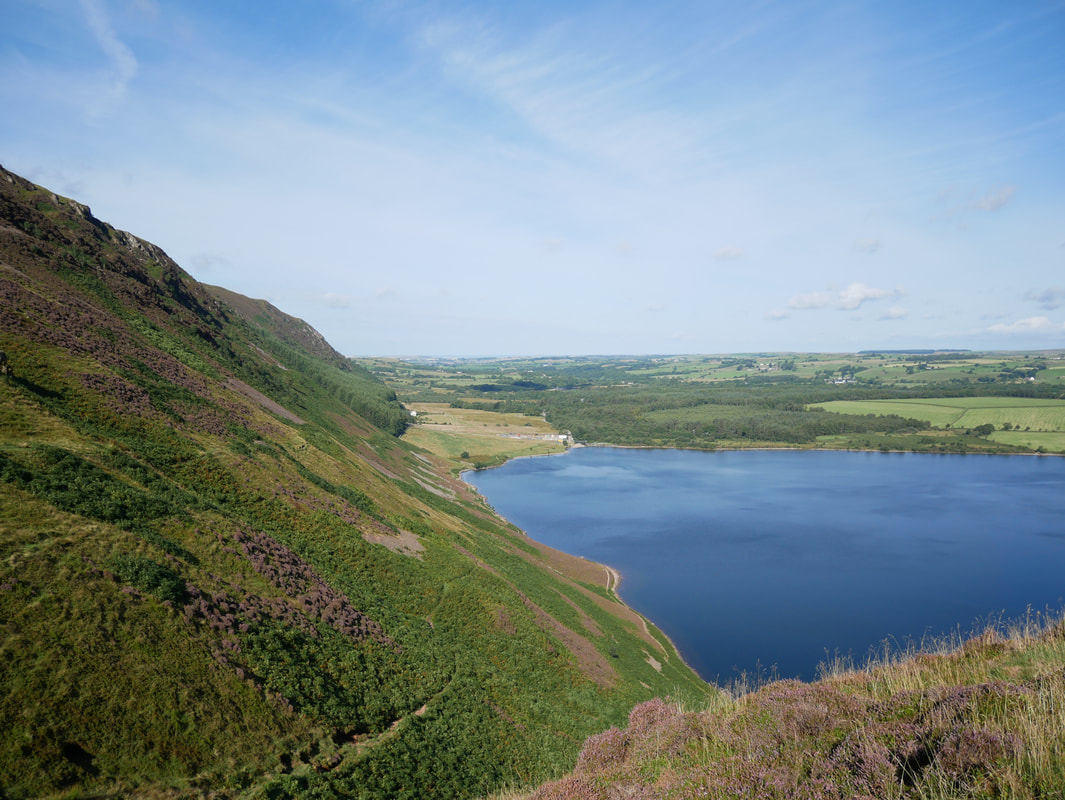
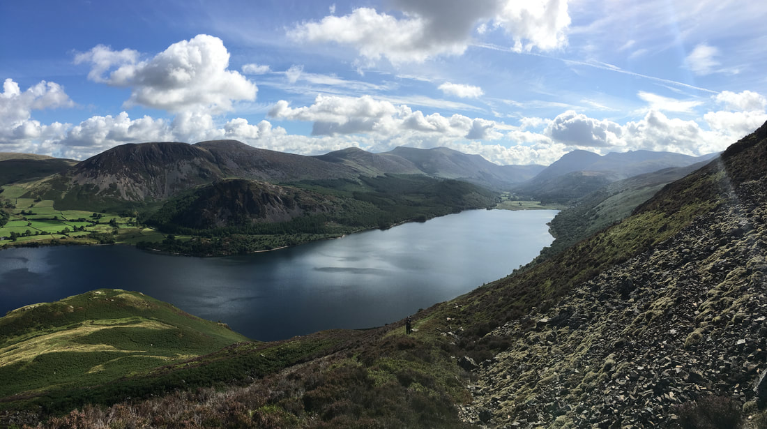
Ennerdale Water from Anglers Crag
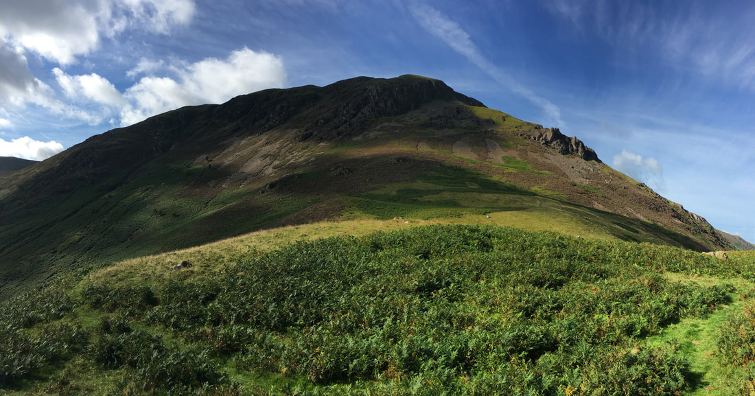
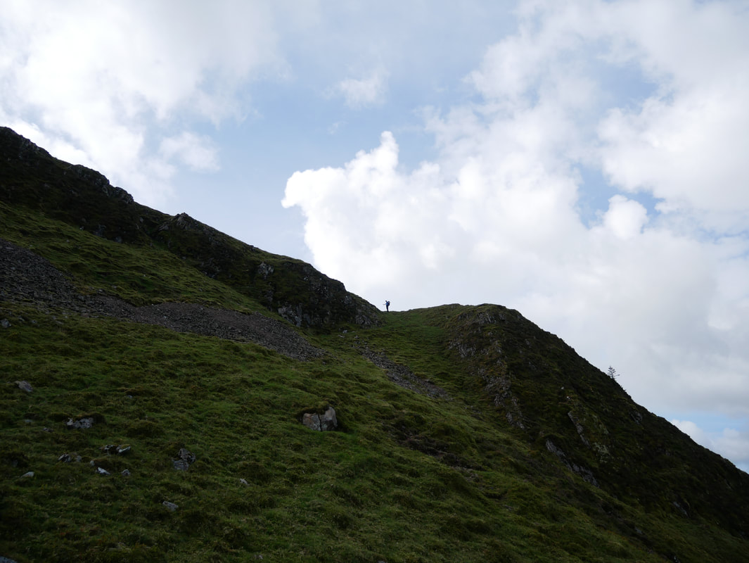
Revelin Crag on Crag Fell from Anglers Crag with the Pinnacles to the right
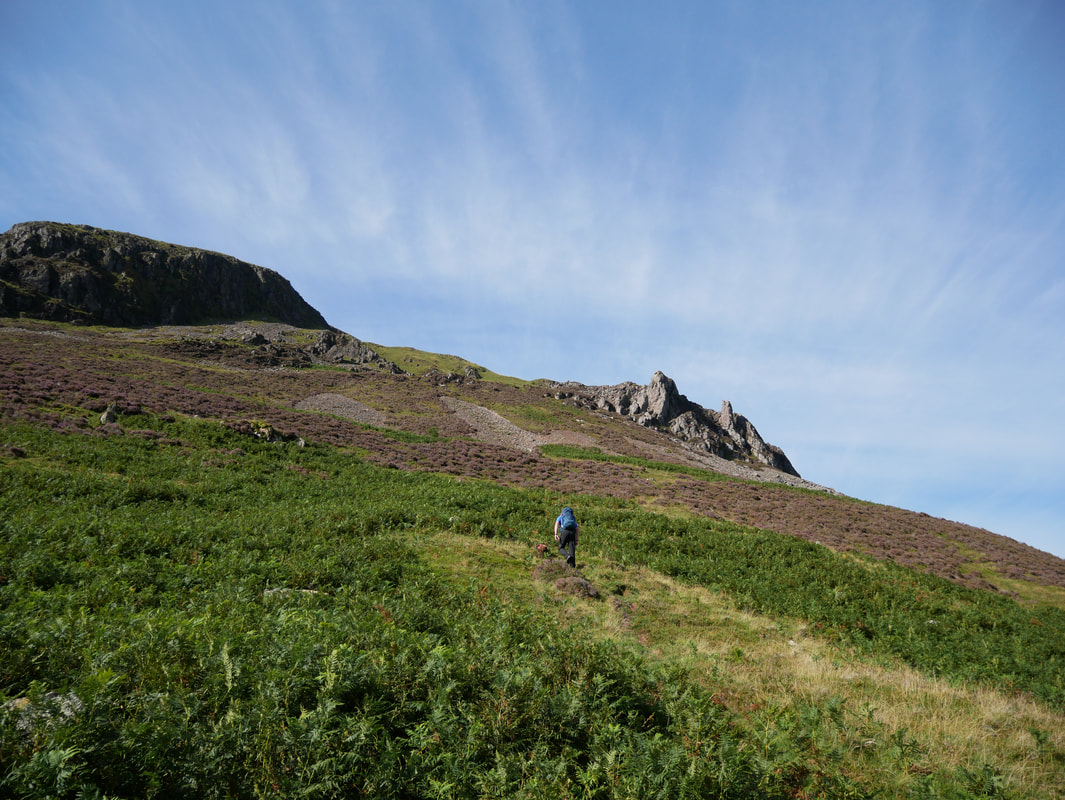
From Anglers Crag a beeline can be made to the Pinnacles, however to ease the gradient a path slopes first to the left then to the right up a natural rake which passes to the south of the Pinnacles
A beautiful Ennerdale panorama from the ascent to the Pinnacles
Angie on the rake path which comes in to the Pinnacles from the left
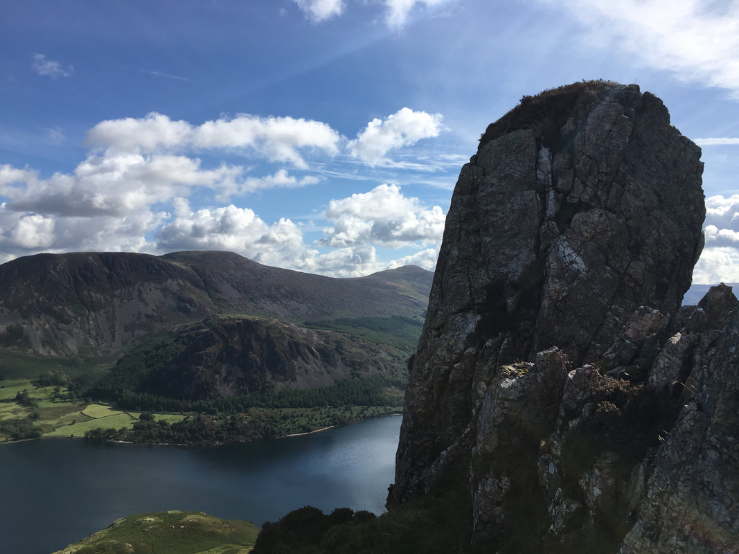
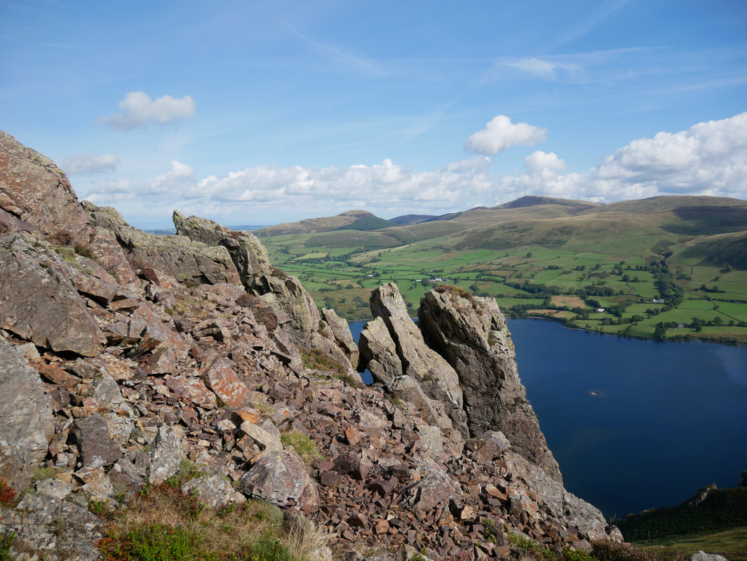
One of the many stacks of rock on Crag Fell Pinnacles - Herdus, Bowness Knott, Great Borne & Starling Dodd are to the rear
Crag Fell Pinnacles from the rake path
From the Pinnacles an intermittent path heads below Revelin Crag to reach a prominent grassy rake - I am stood at the top of the rake at the point where the path coming up from above Ben Gill is joined
The top of the rake - the path to the right of the post is the one coming up from Ben Gill - Grike is to the rear
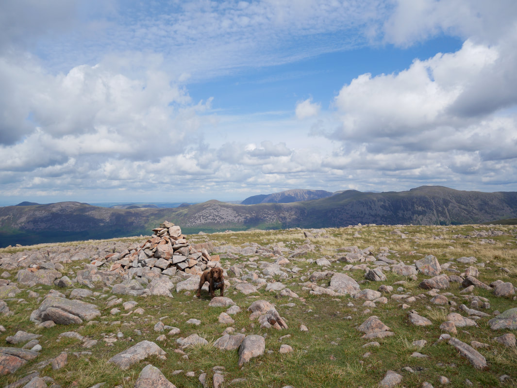
The summit cairn on Crag Fell
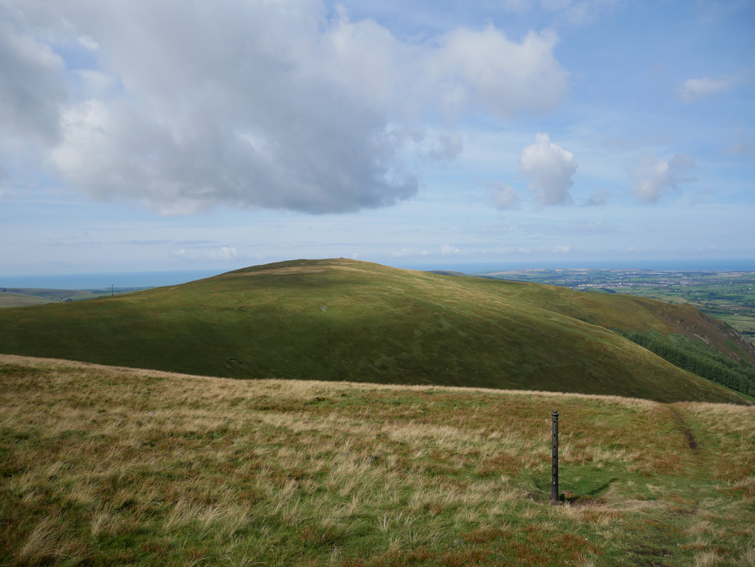
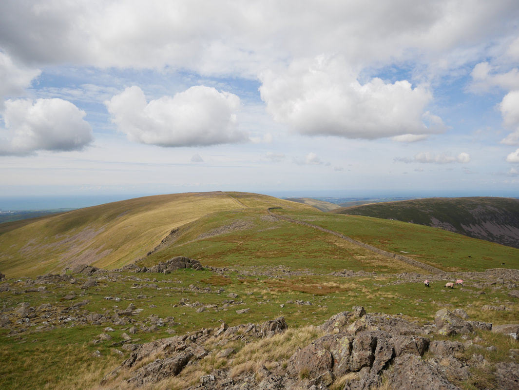
Grike & Crag Fell from the path to Iron Crag - to reach Caw Fell from Crag Fell is a walk of nearly 4 miles
Great Borne
On the path to Iron Crag looking firstly to Whoap then Lank Rigg - it was here after 2 hours walking that we first saw another person.
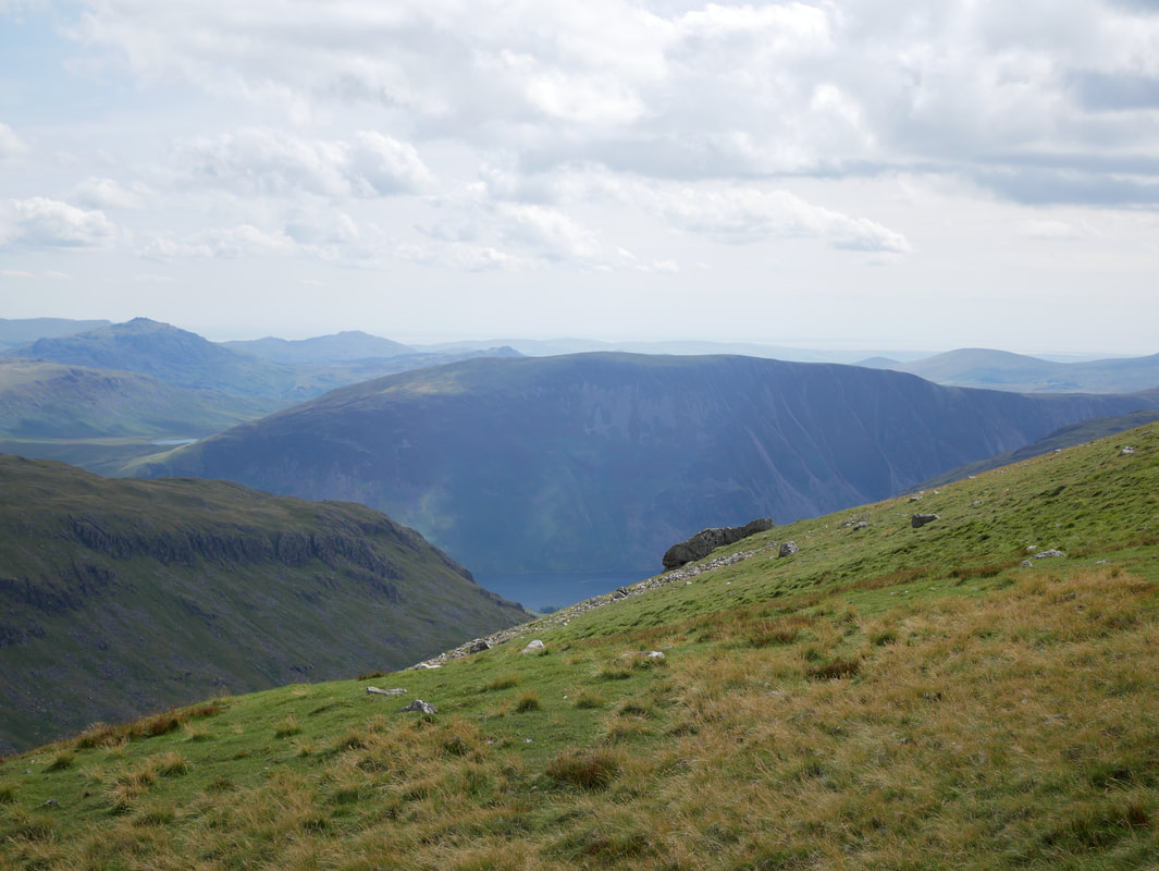
The High Stile ridge from near Iron Crag
The summit of Iron Crag
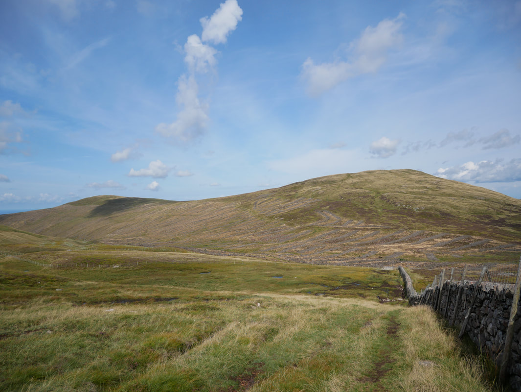
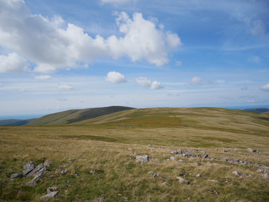
From Iron Crag the feeling of solitude increases - the huge bulk of Caw Fell is ahead
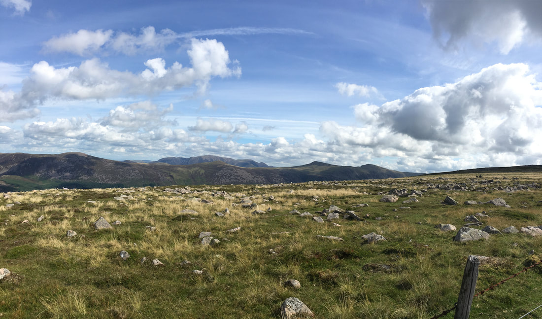
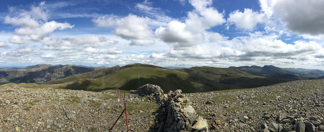
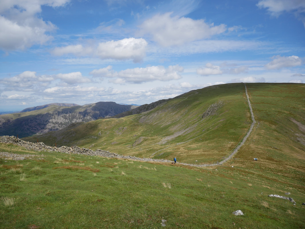
Approaching the summit ridge on Caw Fell there is a glorious view
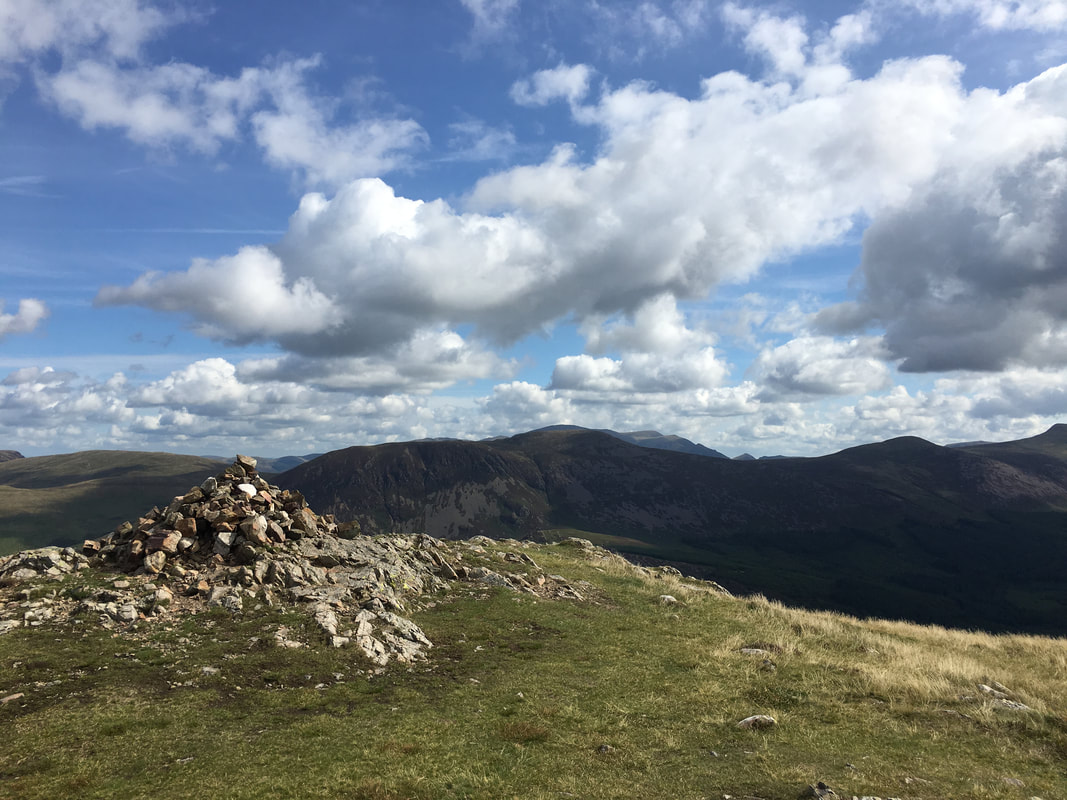
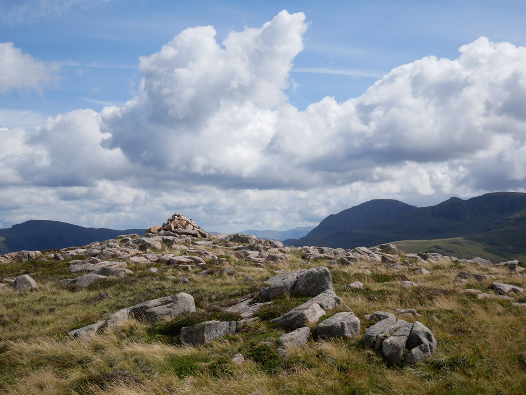
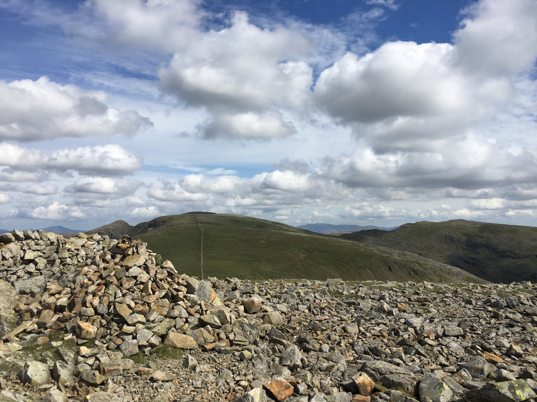
The summit of Caw Fell - Wainwright described the fell as "a broadly buttressed sprawling uncorsetted graceless lump"
In my opinion he was being a tad harsh - look at that view!
In my opinion he was being a tad harsh - look at that view!
Looking back to Caw Fell from the ascent of Little Gowder Crag
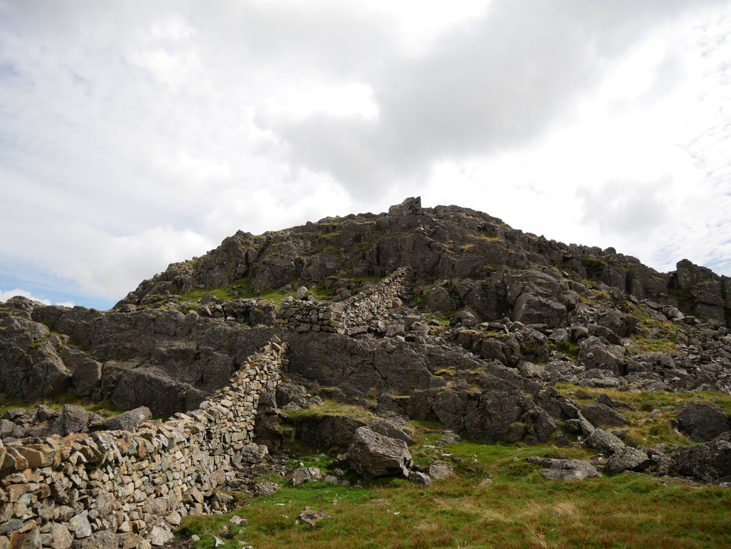
The enjoyable short scramble up to the summit of Little Gowder Crag - a path goes to the right which bypasses the summit
Iron Crag & Ennerdale from Little Gowder Crag
The summit of Haycock looking to Scoat Fell & Steeple - Red Pike is to the right
On the summit of Haycock.
The wall stretches away in the distance to Scoat Fell & beyond - Steeple pops up to the left of centre with the Scafells to the right
The wall stretches away in the distance to Scoat Fell & beyond - Steeple pops up to the left of centre with the Scafells to the right
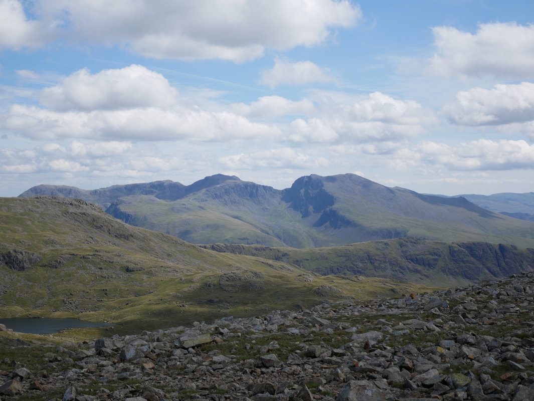
The Scafell Range
Left to right- Great End, Broad Crag, Scafell Pike, Lingmell, Mickledore, Scafell, Long Green & Slight Side.
In the foreground are Red Pike, Scoat Tarn & Yewbarrow
Left to right- Great End, Broad Crag, Scafell Pike, Lingmell, Mickledore, Scafell, Long Green & Slight Side.
In the foreground are Red Pike, Scoat Tarn & Yewbarrow
A panorama from the summit of Haycock
Illgill Head across Wastwater - Burnmoor Tarn peeps out to the left
Dropping down to the col between Haycock & Scoat Fell.
The path coming in from the right where the people are is the Nether Beck route from Wasdale
The path coming in from the right where the people are is the Nether Beck route from Wasdale
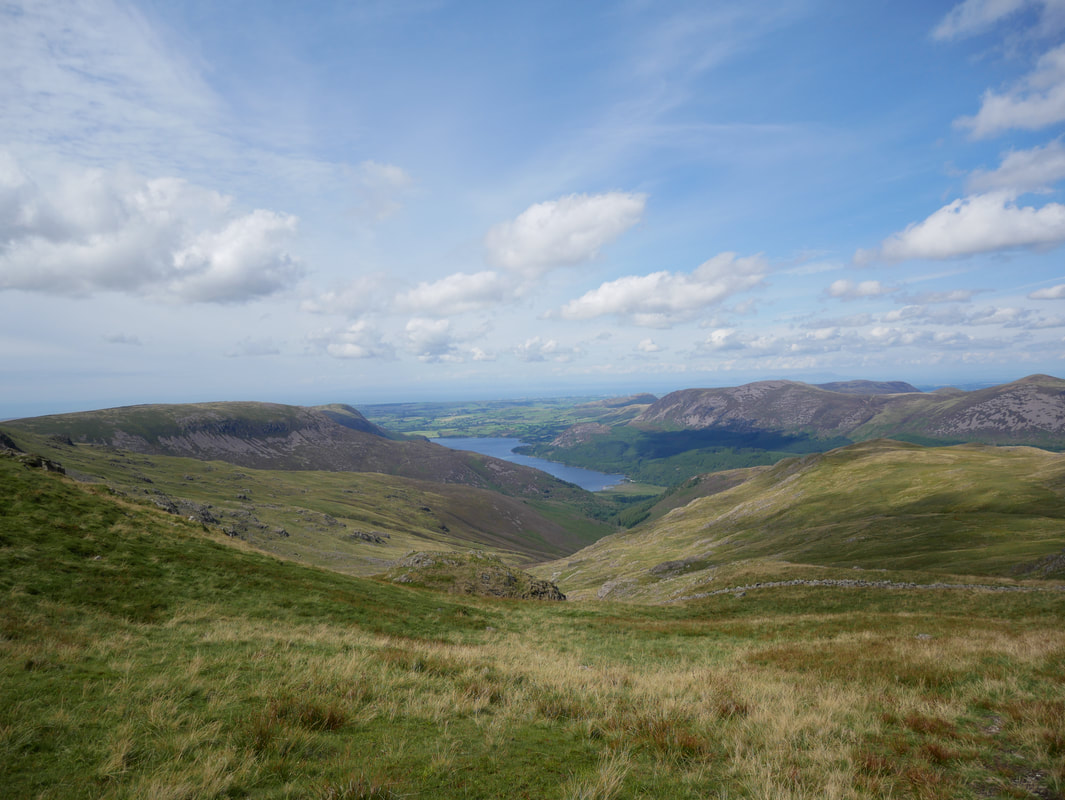
Heading for Tewit How with Iron Crag & Ennerdale now back in view
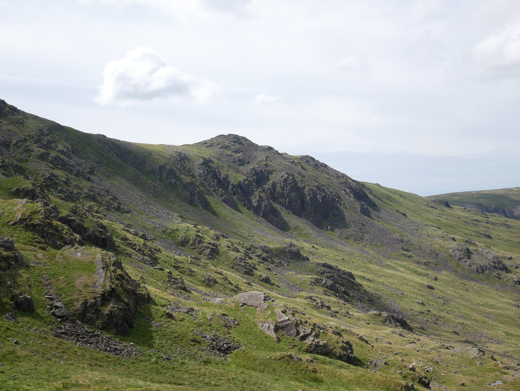
Little Gowder Crag
The summit of Tewit How
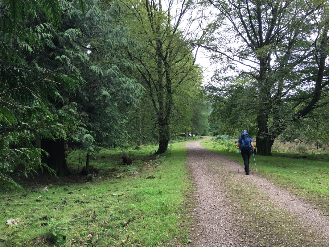
Heading along the forest track at the north western tip of the Ling Mell Plantation
Near the head of Ennerdale Water.
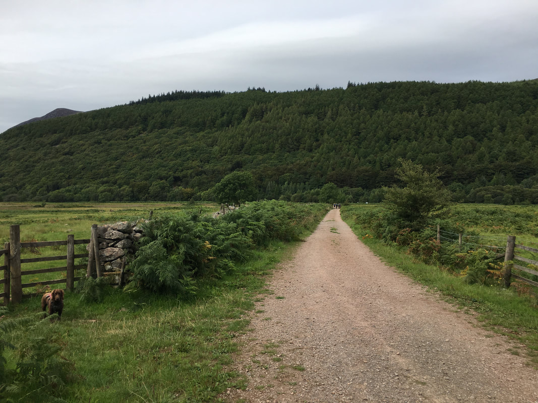
There are two options to consider here regarding the route back to Ennerdale Bridge. Where Fudge is standing is a gate that gives access to the path leading to the South Shore of the lake. Either take this path or keep ahead along the track for 200 yards to reach the main forest track between Bowness Knott & High Gillerthwaite - turn left along the track to return via the North Shore. We had a North Shore day today.
There are two options to consider here regarding the route back to Ennerdale Bridge. Where Fudge is standing is a gate that gives access to the path leading to the South Shore of the lake. Either take this path or keep ahead along the track for 200 yards to reach the main forest track between Bowness Knott & High Gillerthwaite - turn left along the track to return via the North Shore. We had a North Shore day today.
