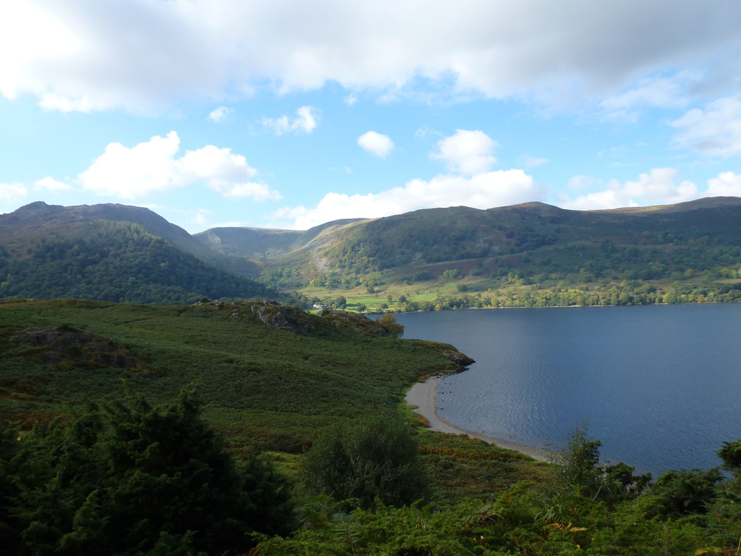
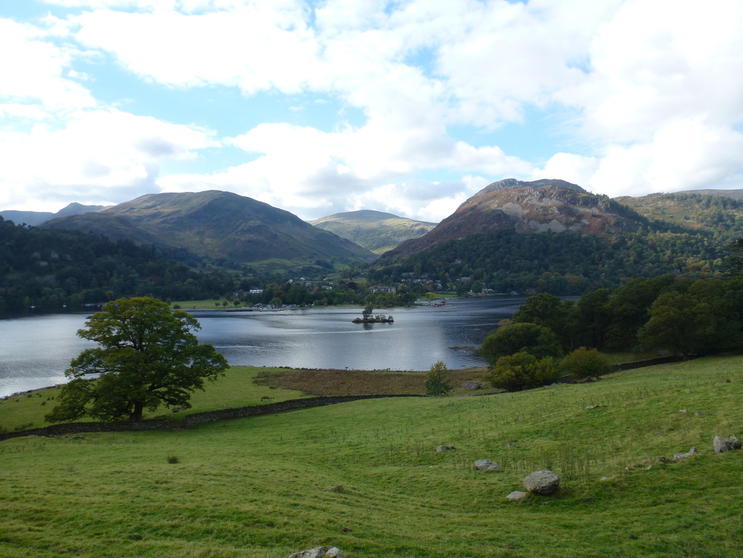
Place Fell - Tuesday 13 October 2015
Route
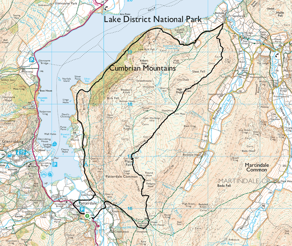
Patterdale - Boredale Hause - Round How - Place Fell - Low Moss - High Dodd - Sleet Fell - Sandwick - Silver Bay - Side Farm - Patterdale
Parking
Patterdale (Charge) - Grid Ref NY397159. There are free places to be had near the Post Office.
Mileage
8.8 miles
Terrain
Good mountain and shoreline paths. The descent from Sleet Fell to Sandwick is steep and requires care, particularly when wet.
Weather
Dry, misty patches & sunny intervals
Time Taken
5hrs 30mins
Total Ascent
2798ft (853m)
Wainwrights
1
Map
OL5 - The English Lakes - North Eastern Area
|
GPX File
|
| ||
If the above GPX file fails to download or presents itself as an XML file once downloaded then please feel free to contact me and I will send you the GPX file via e-mail.
Walk Description
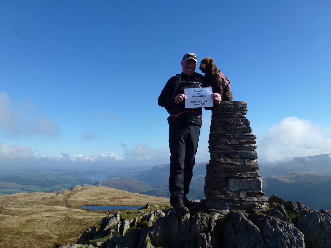
We first walked this route in 2005 and it was our inaugural Wainwright. How apt then that it should be our dog Fudge's final Wainwright having climbed his first (Souther Fell) 2 and a half years ago. Today's walk is one of our favourites and is probably the most popular route up on to Place Fell. The weather was pretty good today as on setting off there was a fair bit of low cloud on the tops but soon cleared to give us good views for the rest of the day.
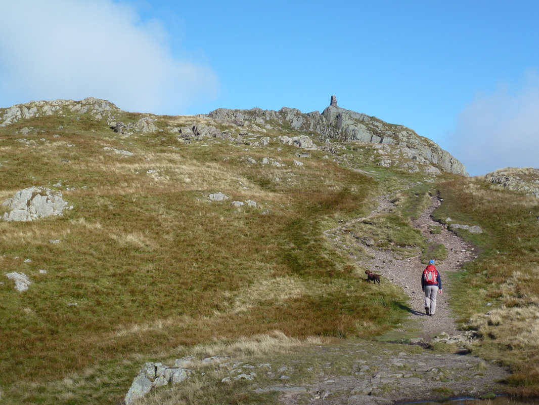
The walk starts from the lovely village of Patterdale where there is free parking near the Post Office but you need to be early - failing that there are a few Car Parks in the village. Leaving Patterdale to the South, the route heads to Rooking over Goldrill Beck before joining the popular and delightful climb up to Boredale Hause which gives superb views over towards the Helvellyn Range and down to Brothers Water. Reaching the Hause, there are a myriad of paths therefore make sure to take the one to the left and head north - almost going back on yourself. The path then rises gently until below Round How where it steepens as it turns west to reach the summit. From Round How the summit of Place Fell is now in sight and it is a simple and gradual climb to reach the rocky top which houses both a small cairn and Trig Point. There are some fantastic views to be had here - and with today's visibility we were able to enjoy a superb 360-degree Lakeland panorama.
Leaving the summit we headed North East, passing Place Fell Tarn to reach the rocky outcrop of Hart Crag. We did think of heading over to the The Knight, Birk Fell & Bleaberry Knott but left them for another day. From Hart Crag the route drops into the col of Low Moss where there is an option to take a path to reach the shoreline sooner. However we decided to carry on along this delightful ridge and took a path heading up to the top of High Dodd which gave us superb views down over Ullswater.
Leaving High Dodd and continuing North East we arrived at Sleet Fell and then made the very steep descent down to the beginning of the shoreline path at Sandwick. With the hard work now over it was time to enjoy this gently undulating path but not before taking in the delights of Lowther Barn Cafe which was not open when we last did the walk and was a welcome surprise. Suitably refreshed we then continued along the shoreline path back to Patterdale which undulates often but gives exceptional views to Ullswater, Gowbarrow Fell and Glenridding. On reaching Side Farm we took the path through the farm buildings to reach the A592 and from here it is a short walk back into the village.
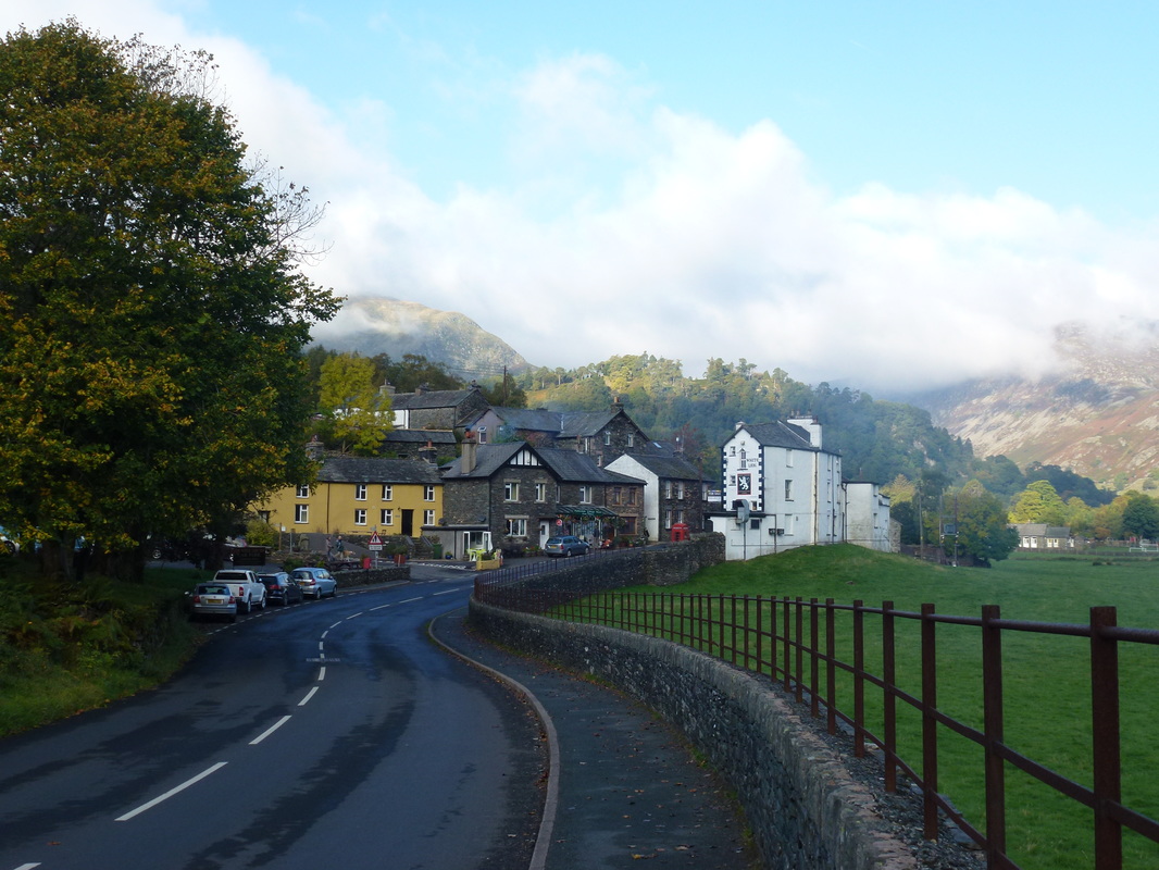
Patterdale
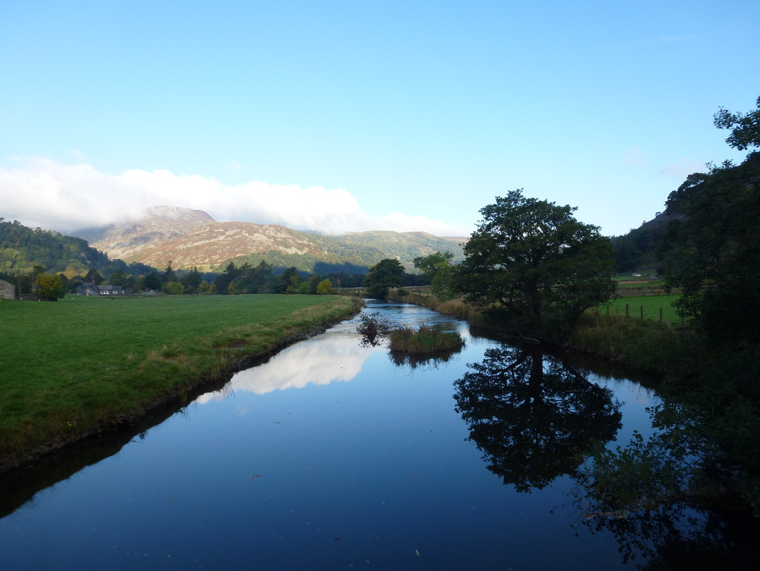
Goldrill Beck
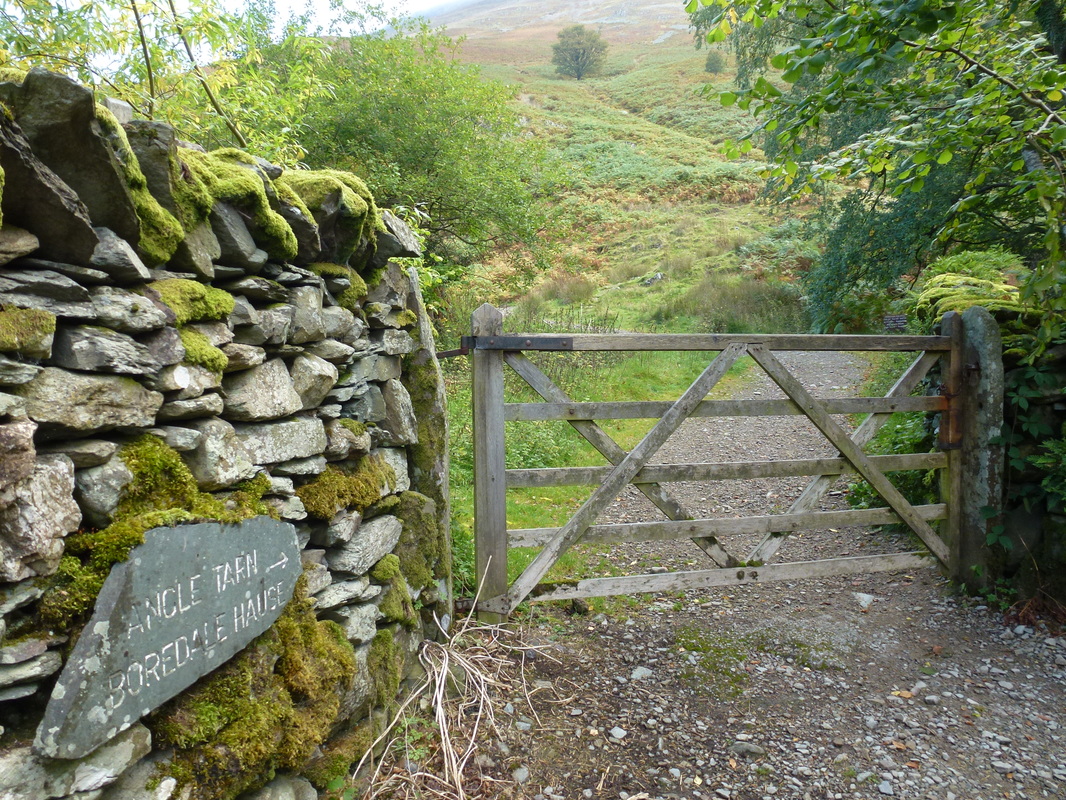
Once through Rooking, this gate gives access to the path to Boredale Hause
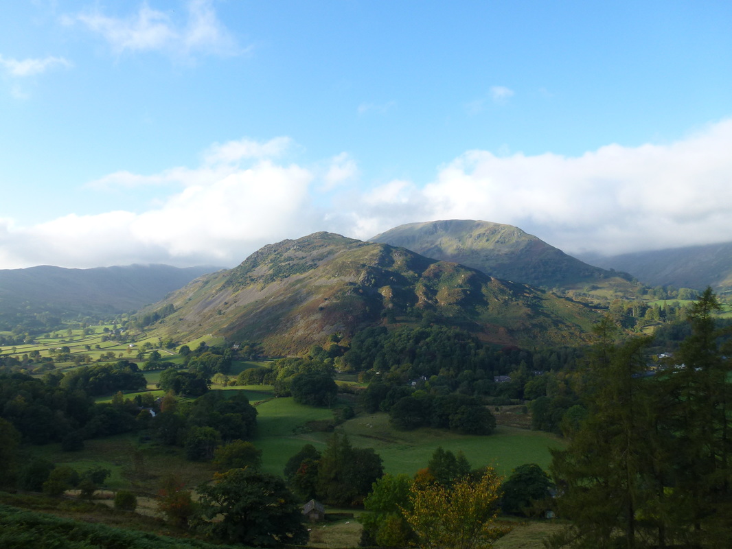
Arnison Crag & Birks
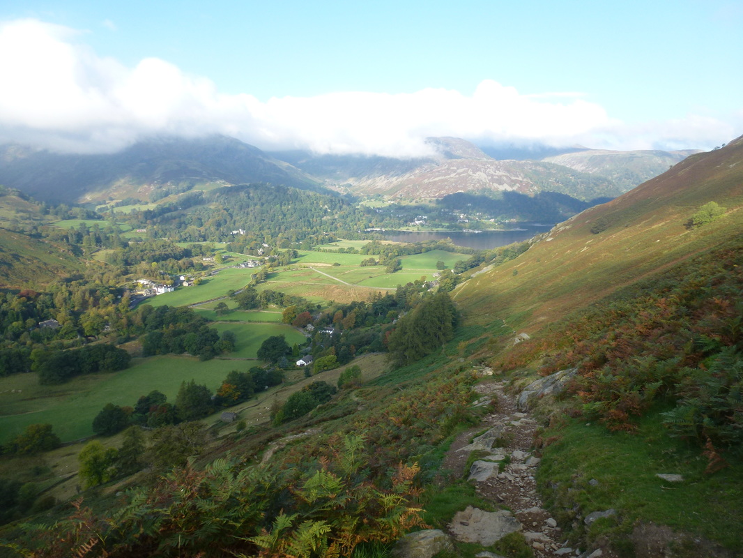
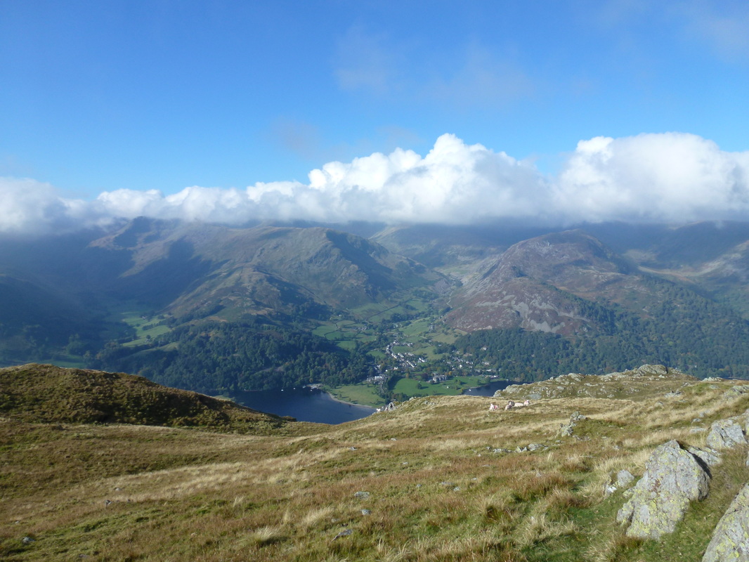
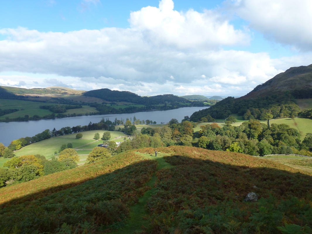
Patterdale & Ullswater from the Boredale Hause path
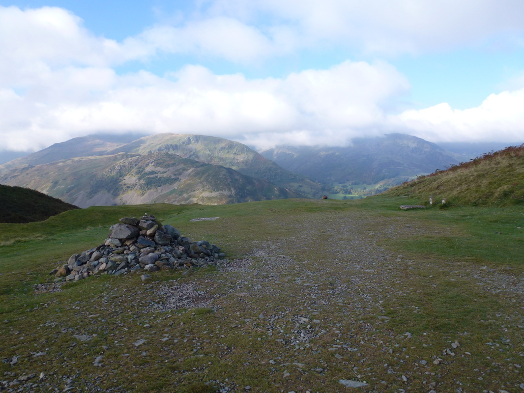
Boredale Hause
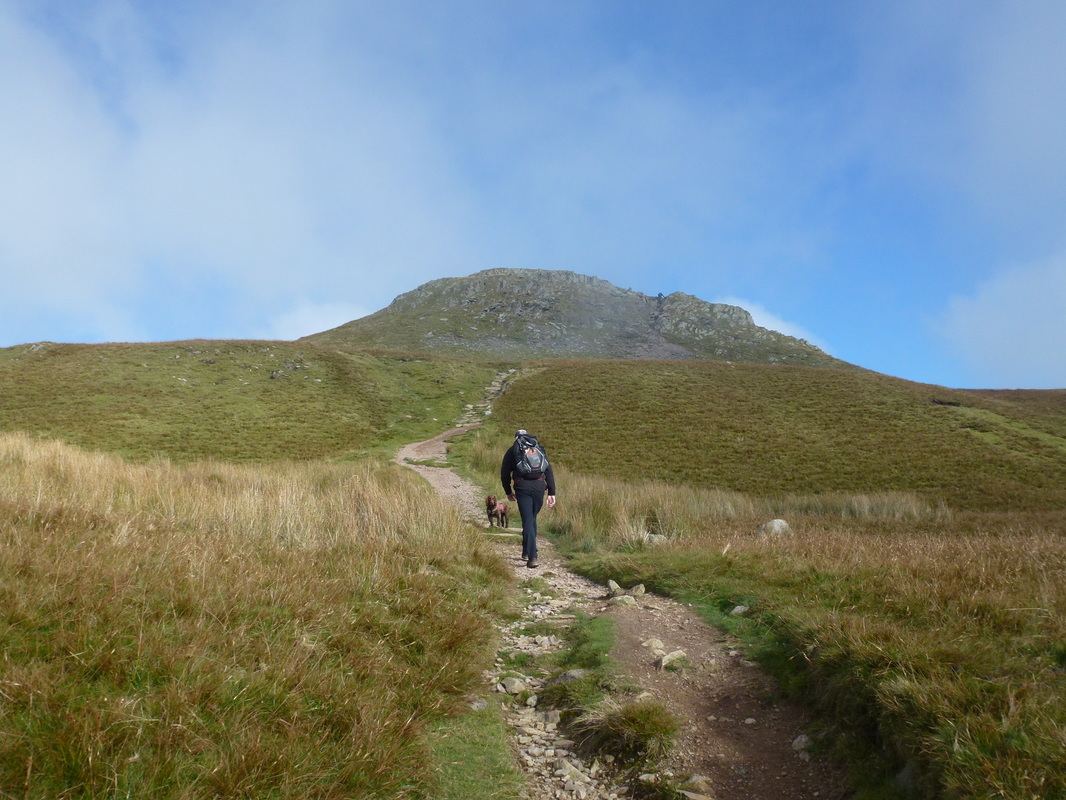
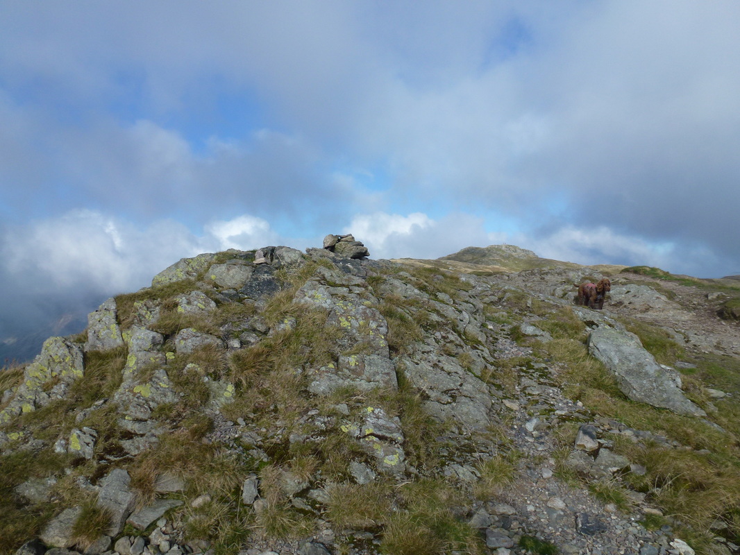
Heading for Round How
The summit of Round How
Leaving Round How the summit of Place Fell is up a gentle incline
The 214 Wainwrights duly completed for Fudge on Place Fell
He typed that out himself
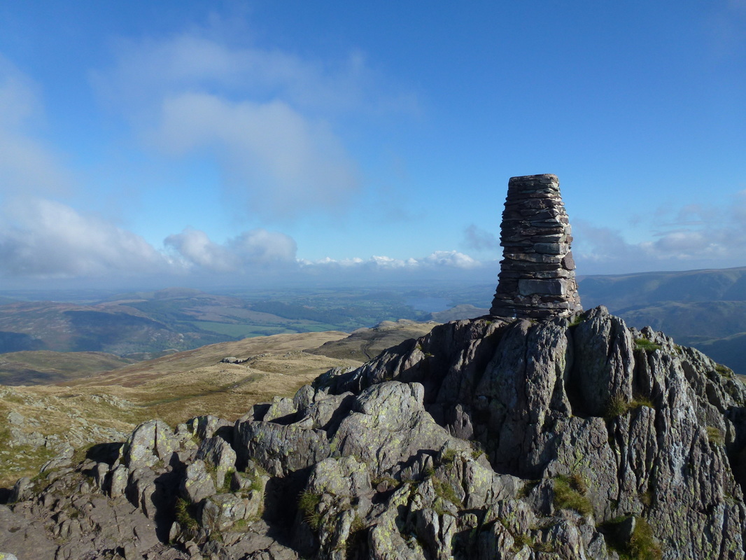
Looking North East from the Trig Point on Place Fell. Ullswater can be seen in the distance
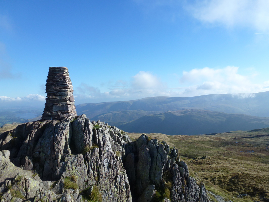
Looking East from the Trig Point over to Beda Fell, Steel Knotts and Loadpot Hill
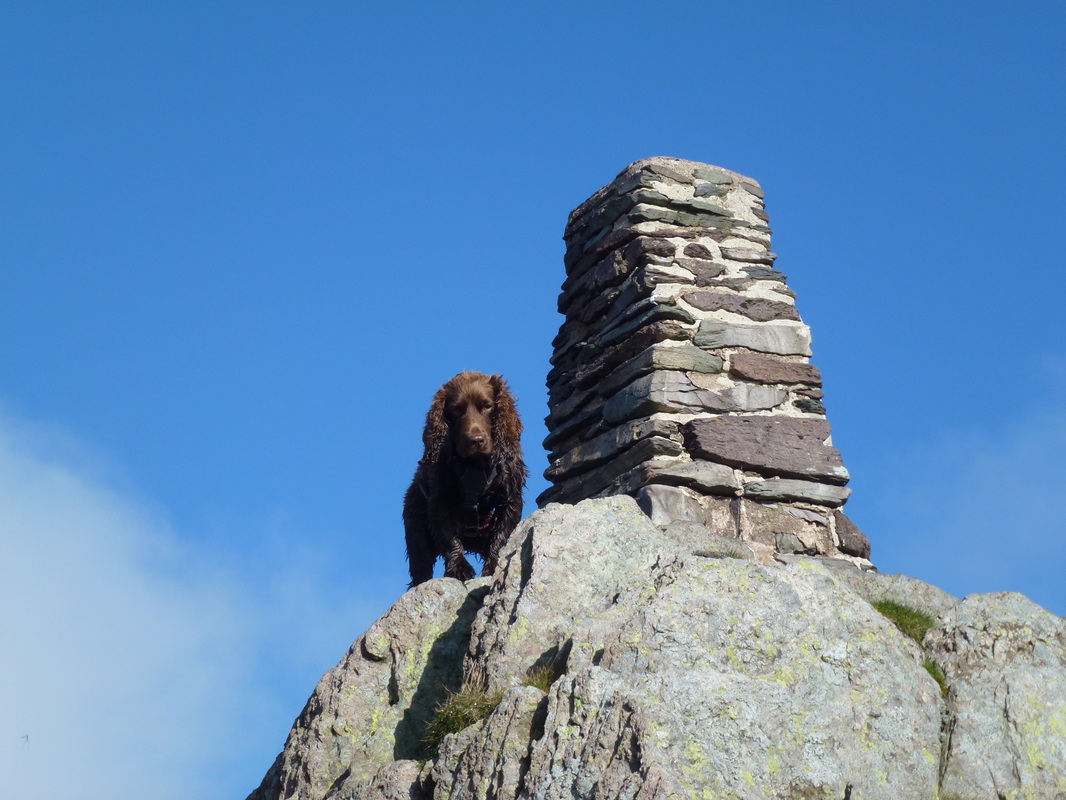
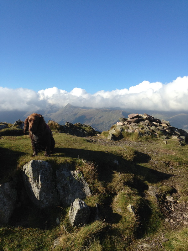
Fudge on the summit of Place Fell having completed all 214 Wainwrights - well done pooch!
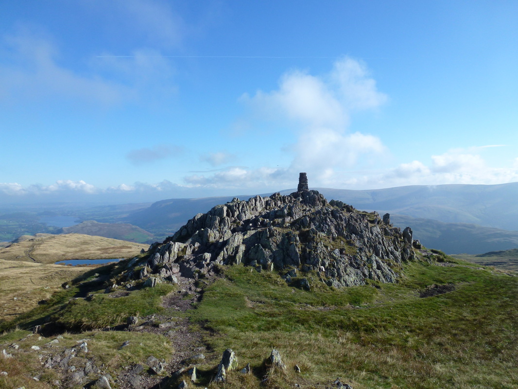
Another shot of the Trig Point on Place Fell - our route of descent can be seen to the left
Glenridding with Birkhouse Moor central with Glenridding Dodd & Sheffield Pike to the right
To the left are Striding Edge and Helvellyn
To the left are Striding Edge and Helvellyn
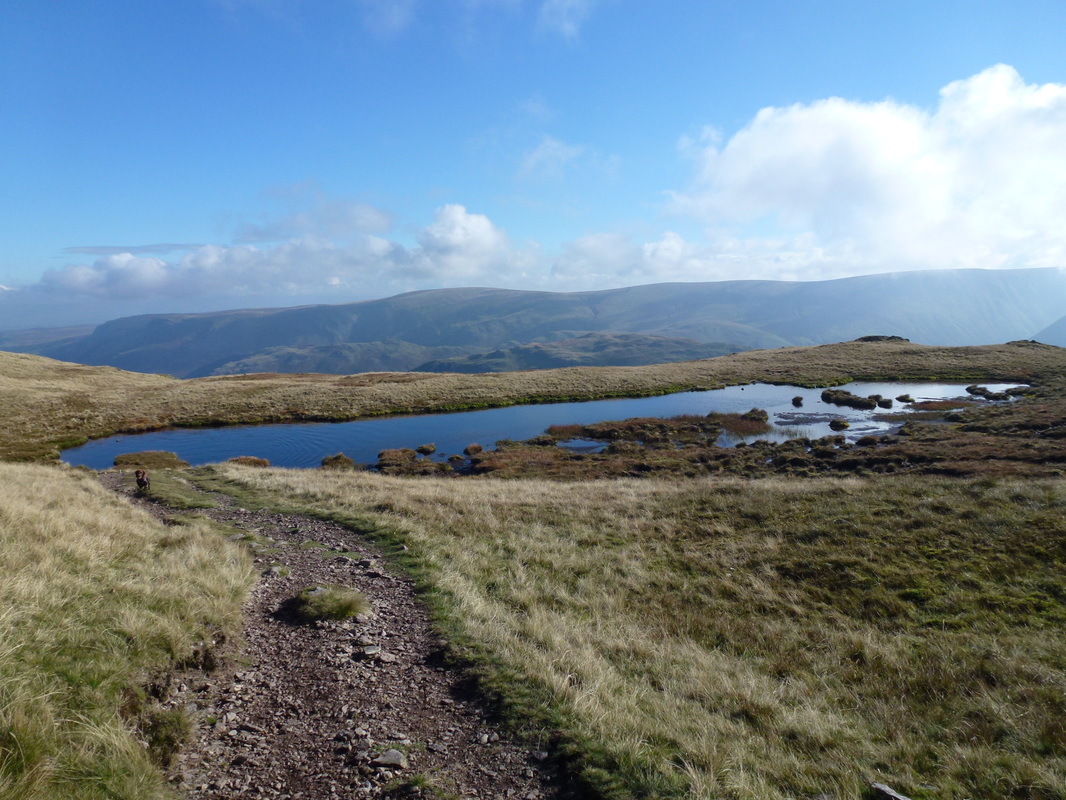
Place Fell Tarn looking to Loadpot Hill
Looking back to Place Fell's summit
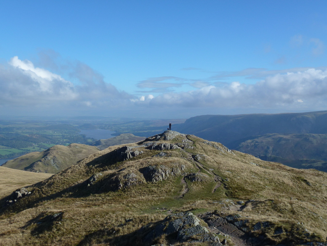
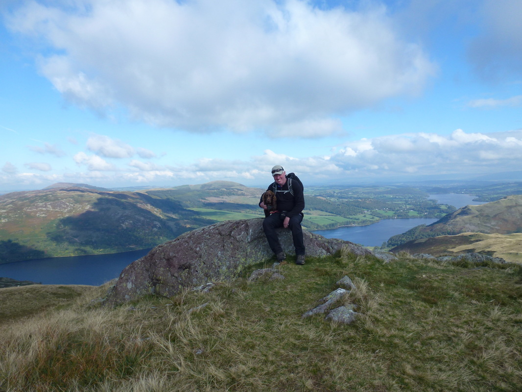
One Man & his Dog on Hart Crag
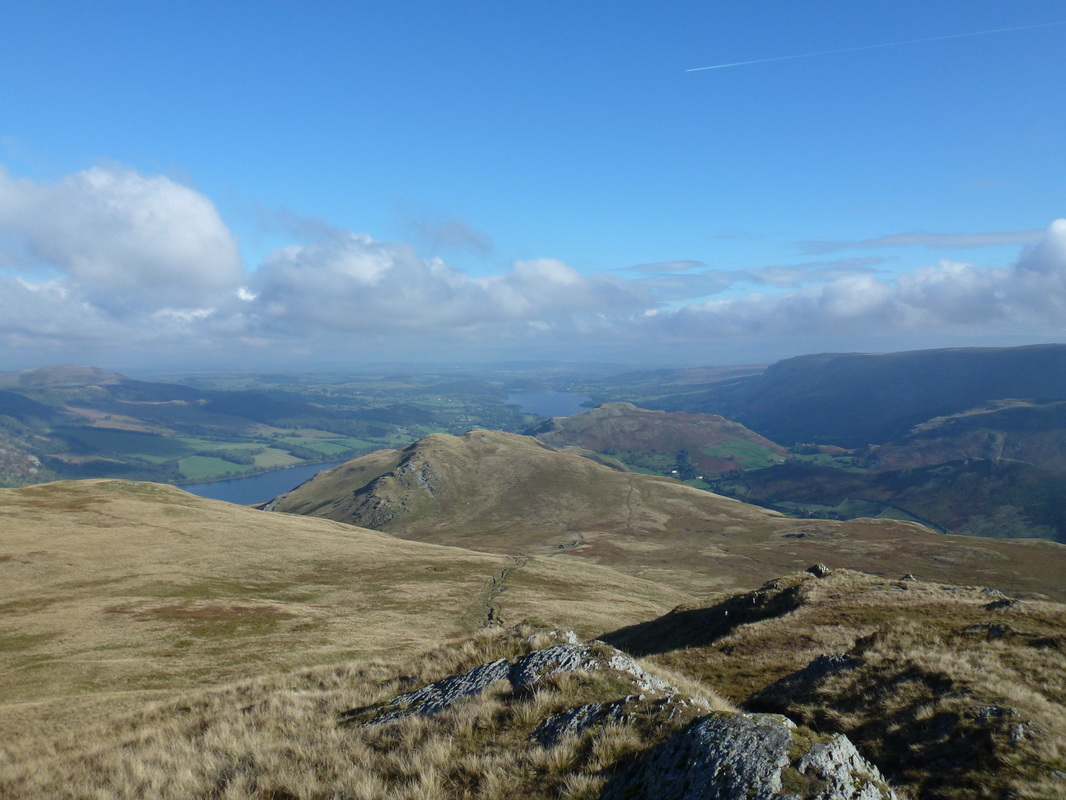
Heading off Place Fell to High Dodd (centre) with Hallin Fell to the rear and Arthur's Pike to the right
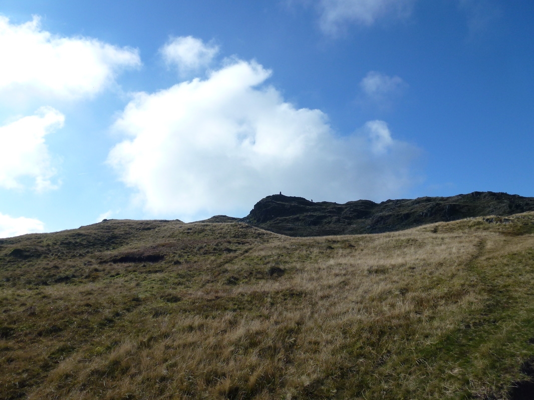
The summit of High Dodd
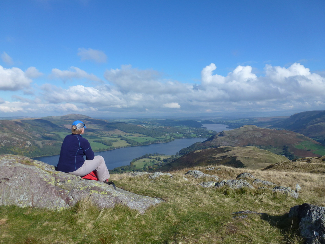
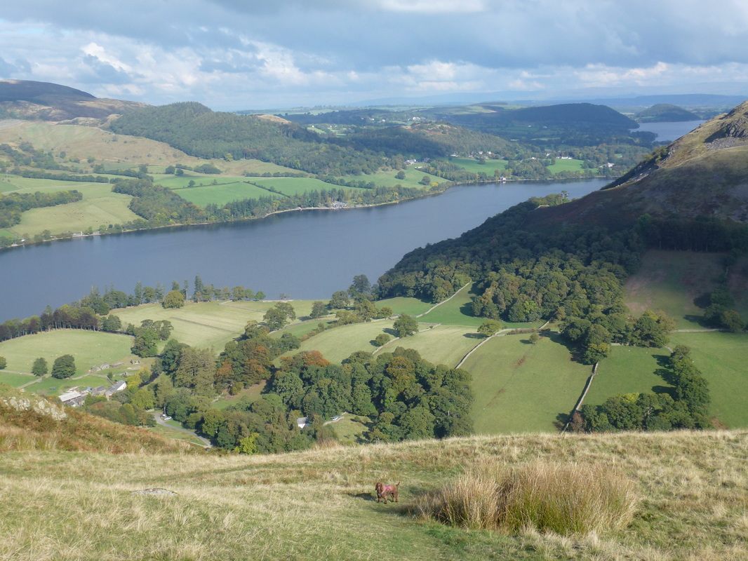
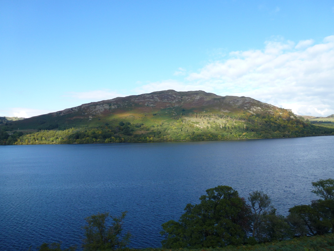
Ullswater, Sleet Fell & Hallin Fell from High Dodd
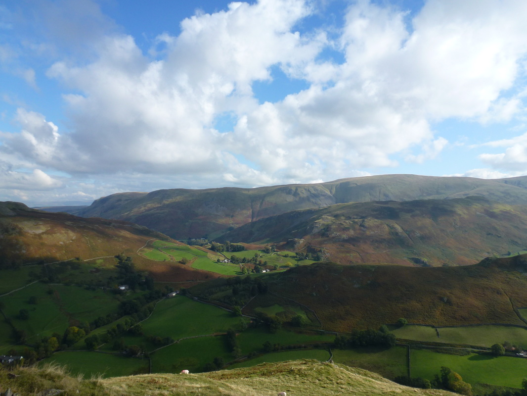
Looking East over to the Loadpot Hill range
An Ullswater panorama
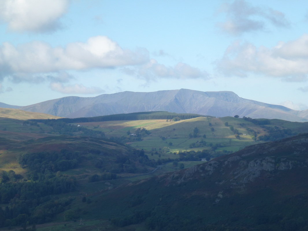
Zooming in on Blencathra
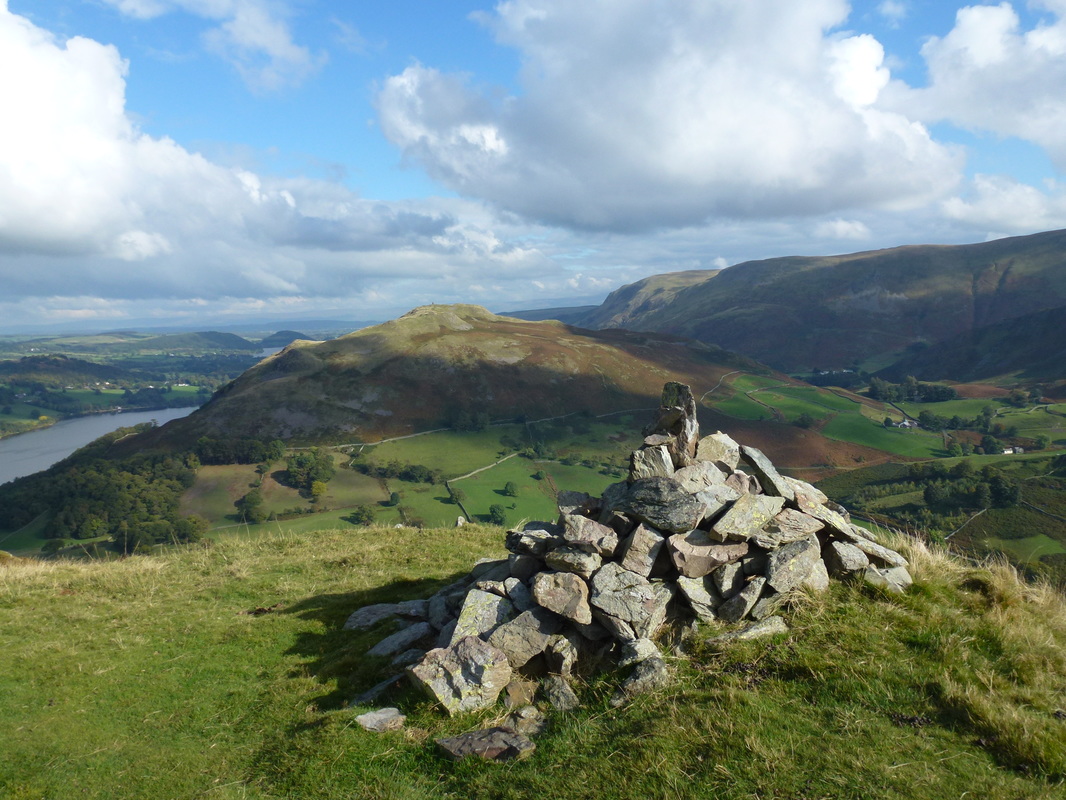
The summit of Sleet Fell looking to Hallin Fell
The steep descent down to Sandwick from Sleet Fell
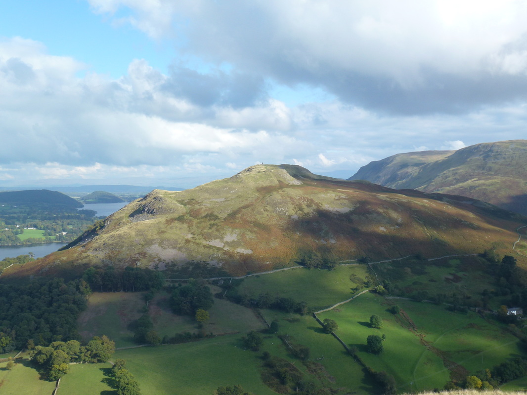
Hallin Fell
Nearly down at Sandwick
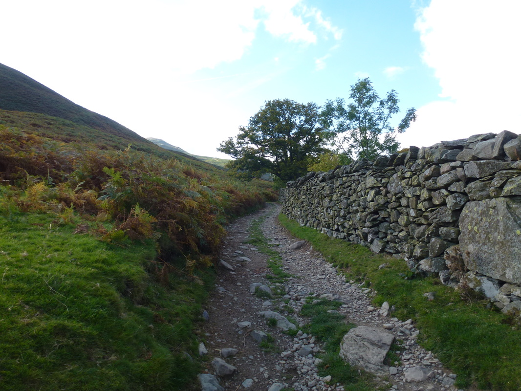
Once on the flat stuff the route heads along the stony path back to Patterdale
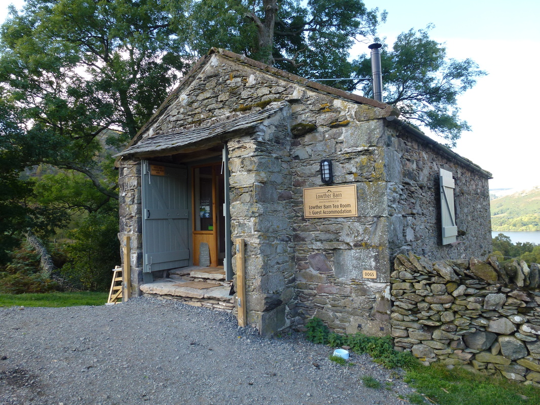
Lowther Barn on the Ullswater shore path - a welcome stop for cake and a cool drink. There is a dog friendly area to the right of the barn
Gowbarrow Fell
Silver Bay
Glenridding over Ullswater
