A Circuit of Buttermere - Tuesday 29 November 2022
Route
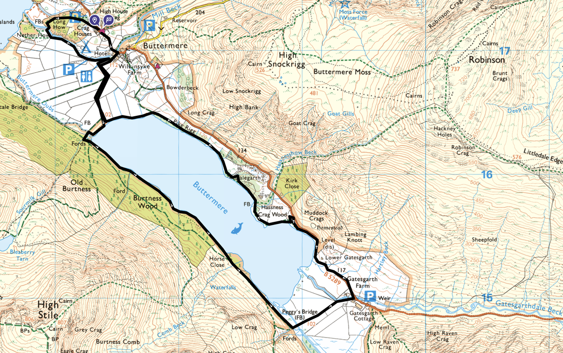
Buttermere - Burtness Wood - Horse Close - Peggy's Bridge - Gatesgarth - Crag Wood - Dalegarth - Pike Rigg - Long How - Buttermere
Parking
The National Trust Car Park (charge for non NT members) to the north west of Buttermere village on the B5289. The Grid Reference is NY 17294 17230 and the nearest postcode is CA13 9UZ.
Mileage
6.1 miles
Terrain
Mostly flat lakeshore paths with the odd minor undulation.
Weather
Cold with no wind and lots of sunshine
Time Taken
3hrs
Total Ascent
528ft (161m)
Map
OL4 The English Lakes (North Western Area)
Walkers
Dave, Angie & Fudge
|
GPX File
|
| ||
If the above GPX file fails to download or presents itself as an XML file once downloaded then please feel free to contact me and I will send you the GPX file via e-mail.
Route Map
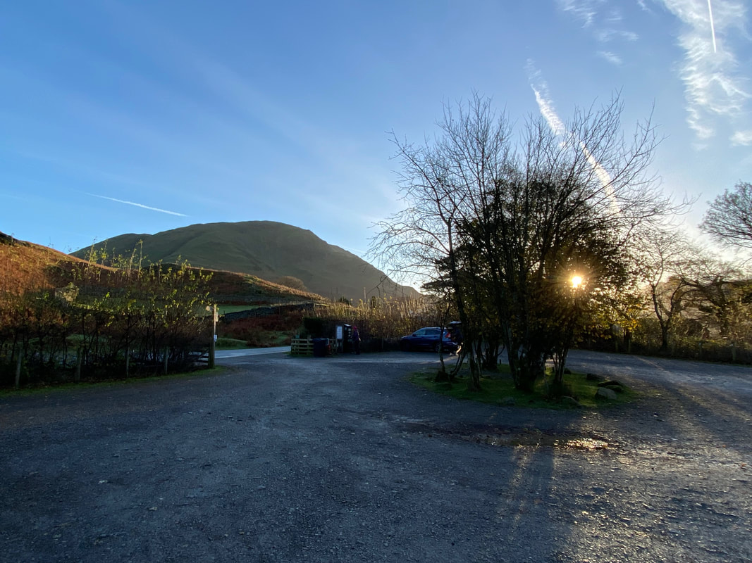
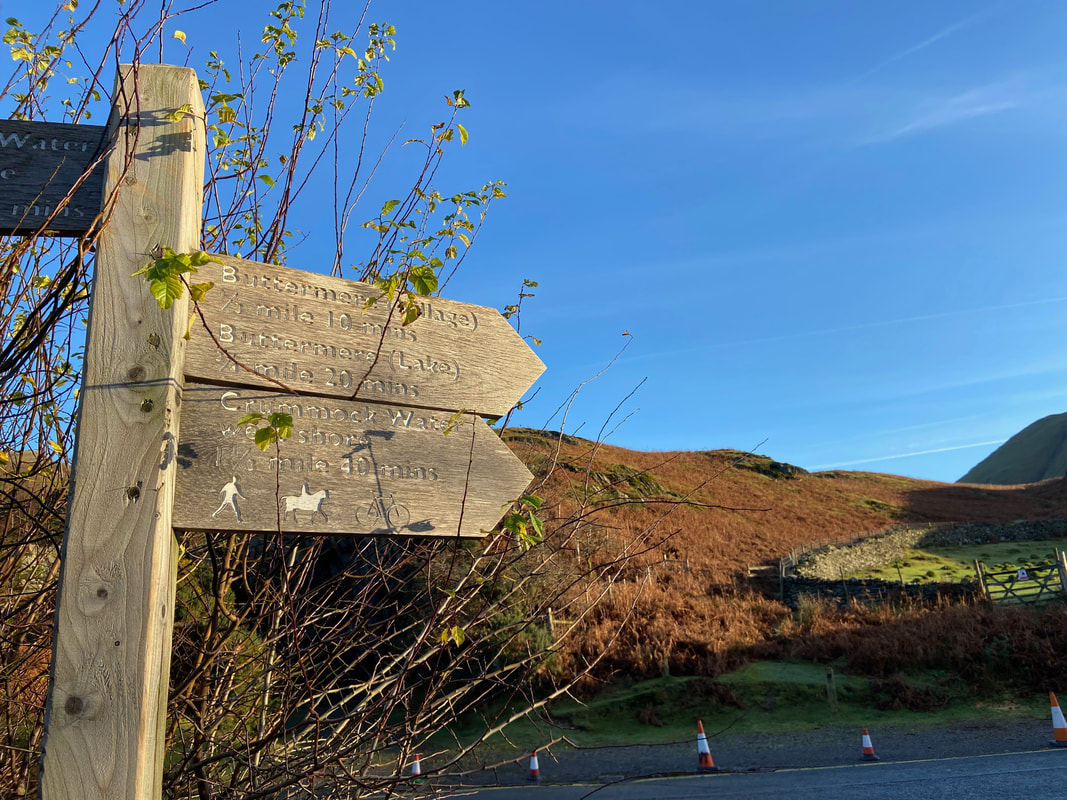
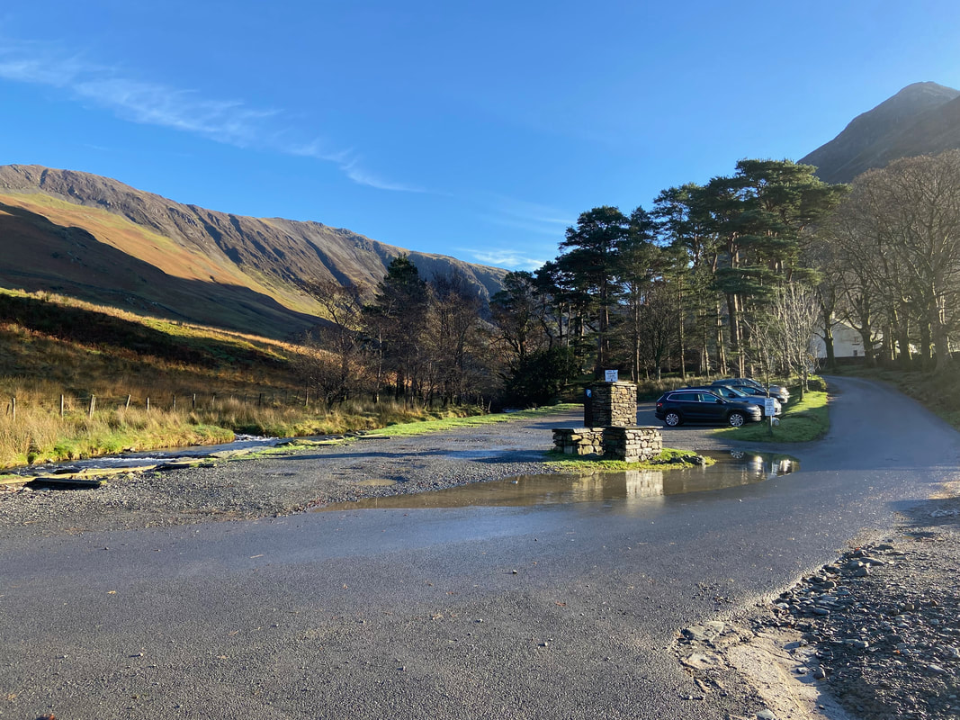
There are a few options for parking in the village of Buttermere. Today we parked up at the National Trust Car Park which is located on the right as you enter the village from the north west - from here it is a 1/4 mile walk to the centre of Buttermere.
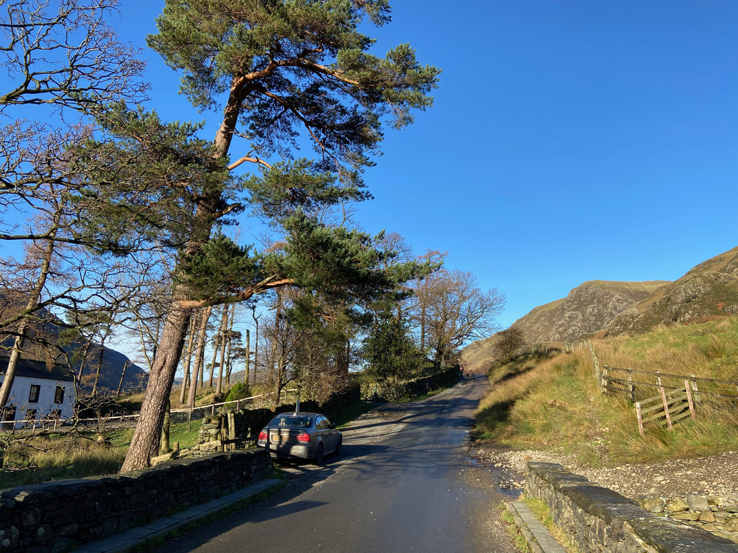
No mistaking which way to go once you leave the Car Park - sometimes the most difficult navigational decision to make is which route to take out of the Car Park.
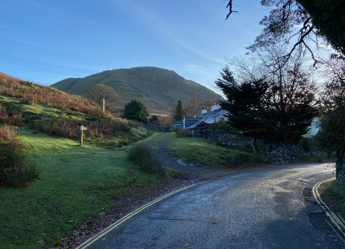
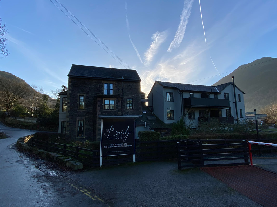
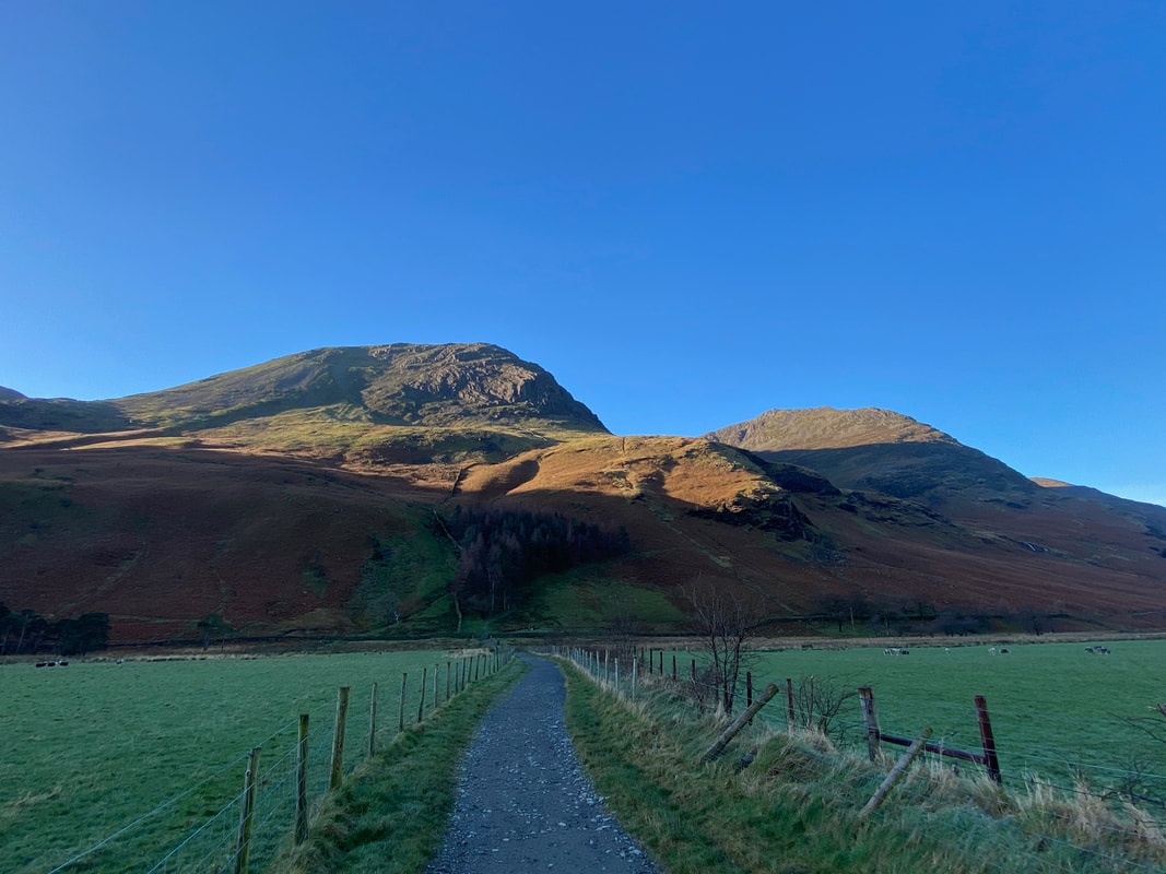
High Snockrigg dominates the view as we enter Buttermere. The path to the left heads the walker in the direction of Whiteless Pike and also leads to Rigg Beck some 4 and a half miles away.
One of two hostelries in the village........
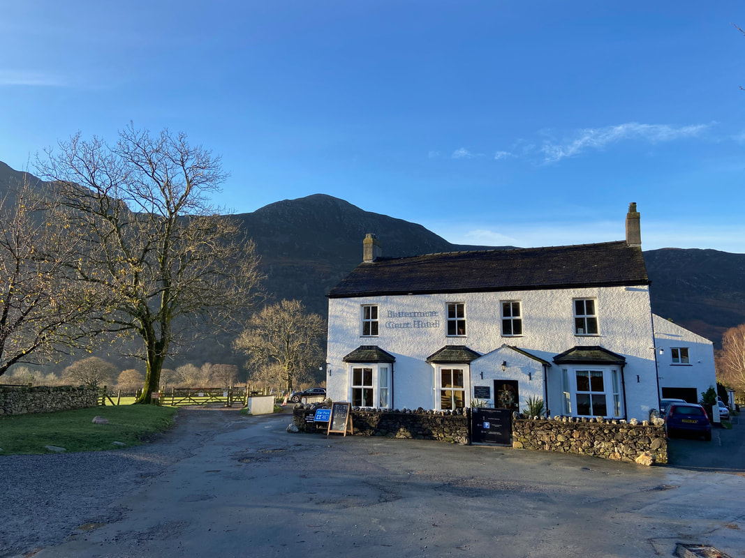
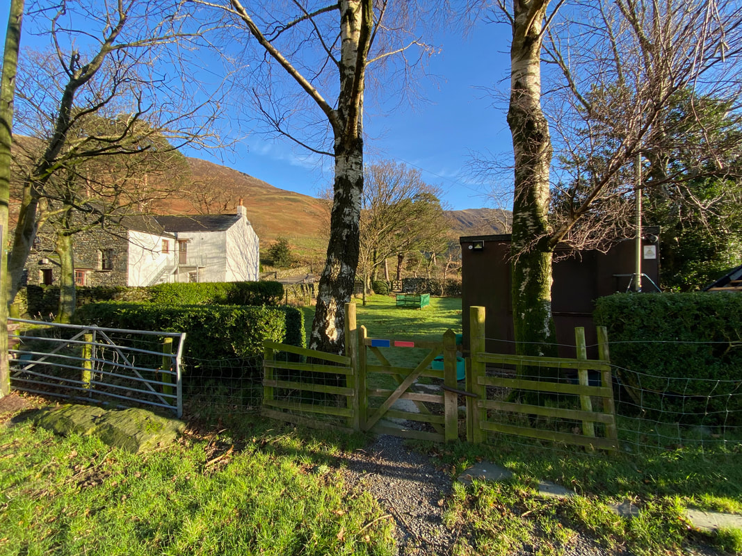
....and this is the other one - the former Fish Inn, now the Buttermere Court Hotel. Our route is via the hand gate to the left of the hotel.
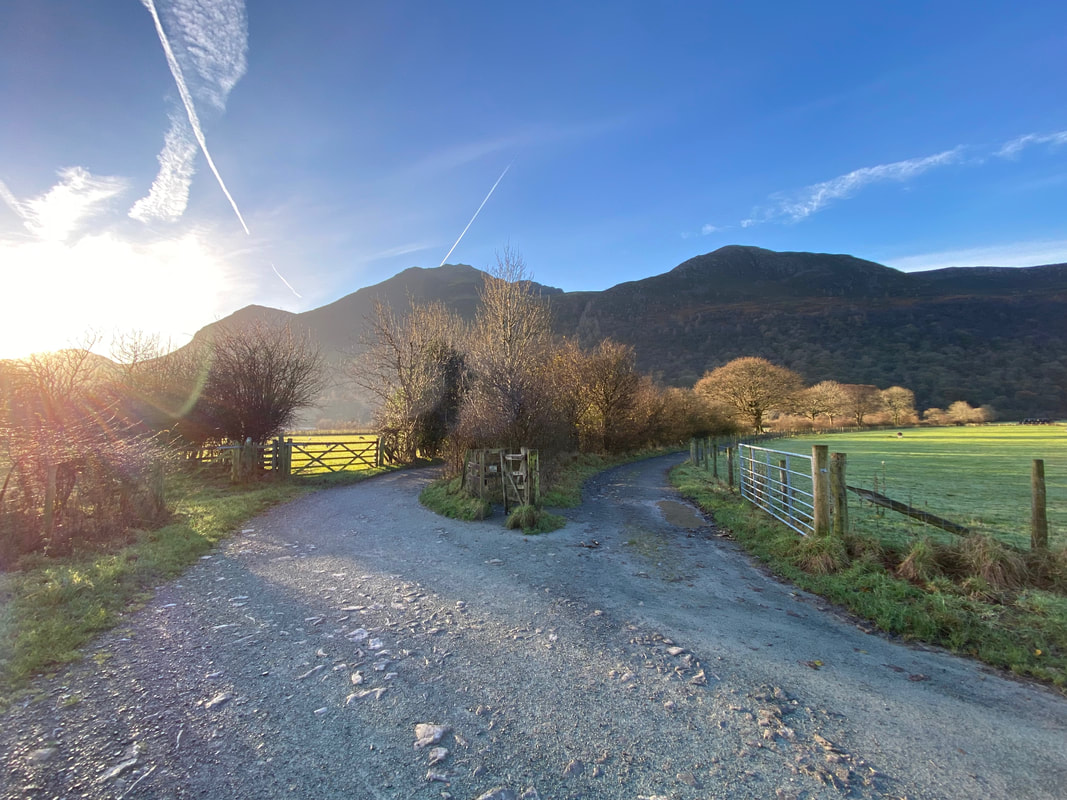
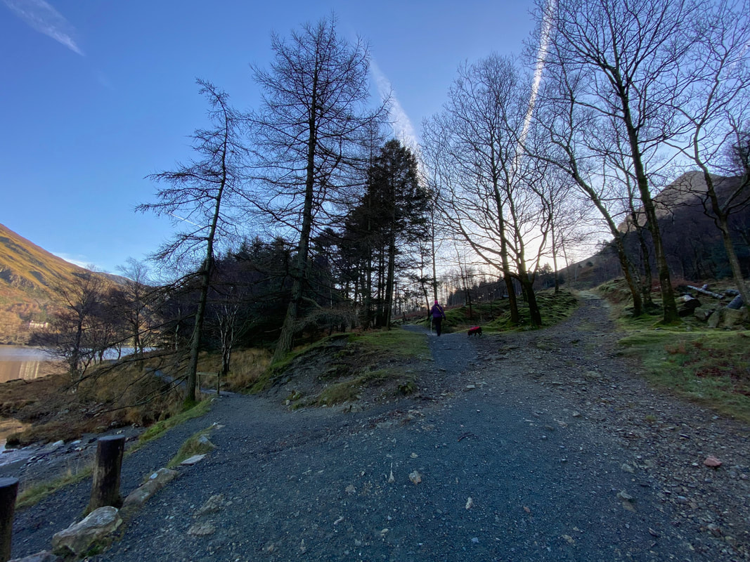
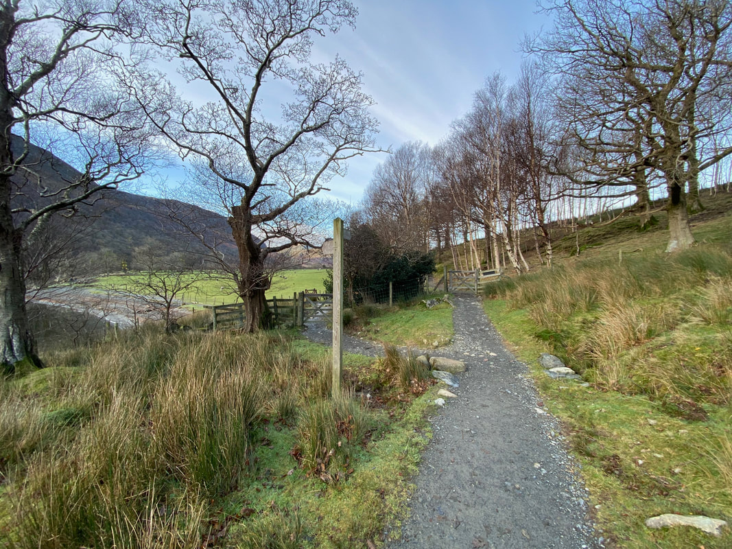
After approximately 200 yards the path splits - both paths can be taken however the one to the left heads straight to the lake and is the one we chose today.
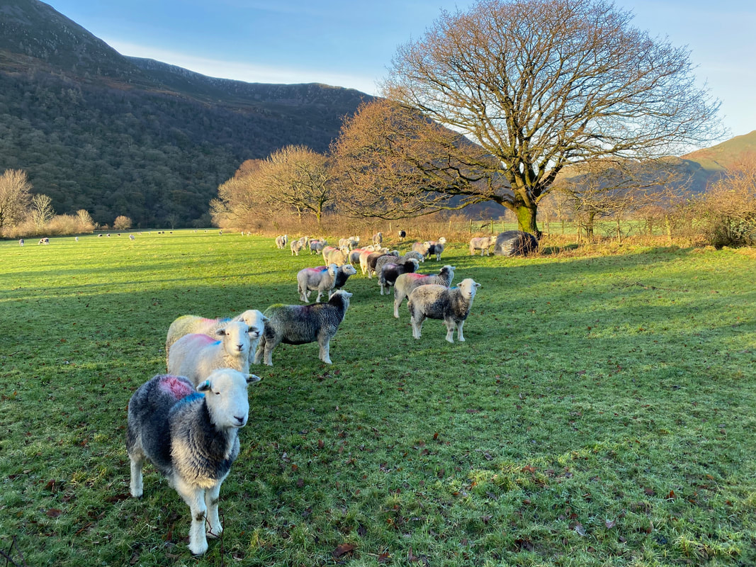
Some interested locals say hello as we neared the lakeshore
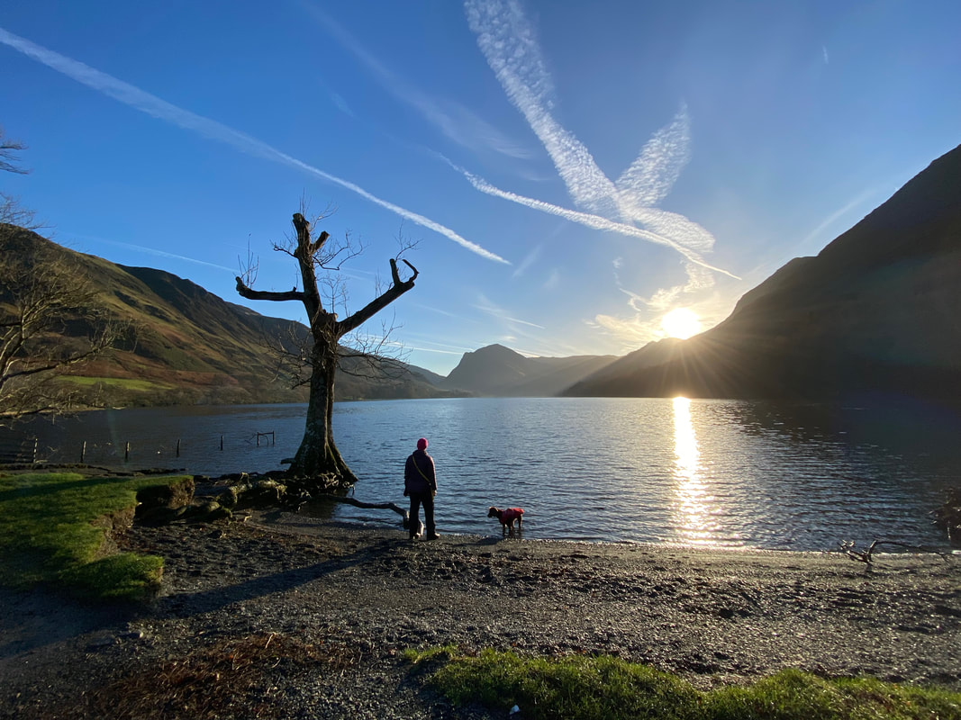
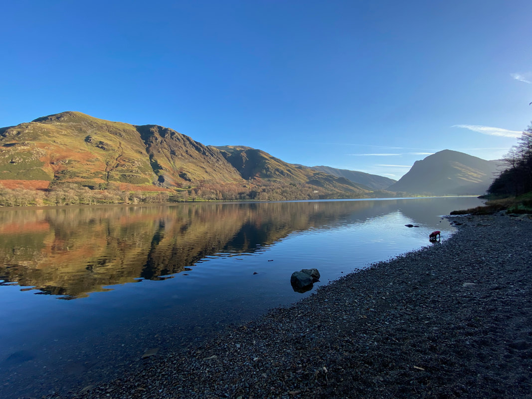
Sometimes it pays to get up at whip crack sparrow fart in order to have this normally popular area to yourself. Here Angie is looking down Buttermere towards Fleetwith Pike whilst Fudge waits to commence full arsing about mode.
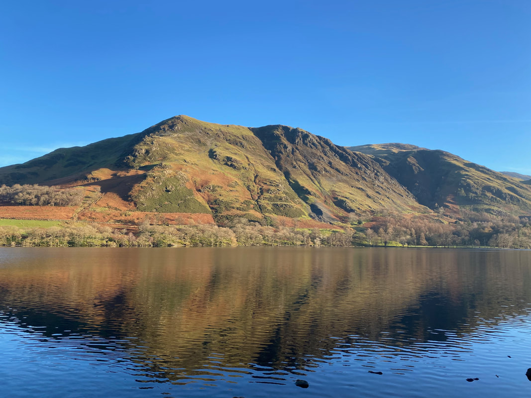
Looking to High Snockrigg over Buttermere - we would be walking anti clockwise around the lake today
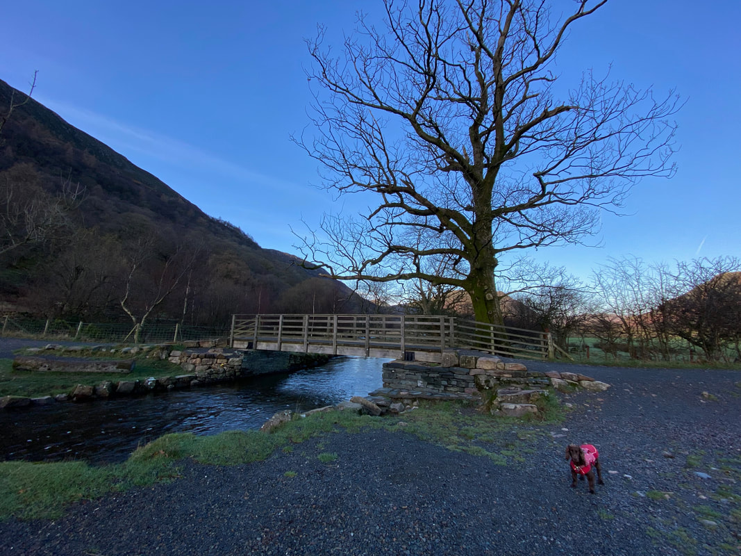
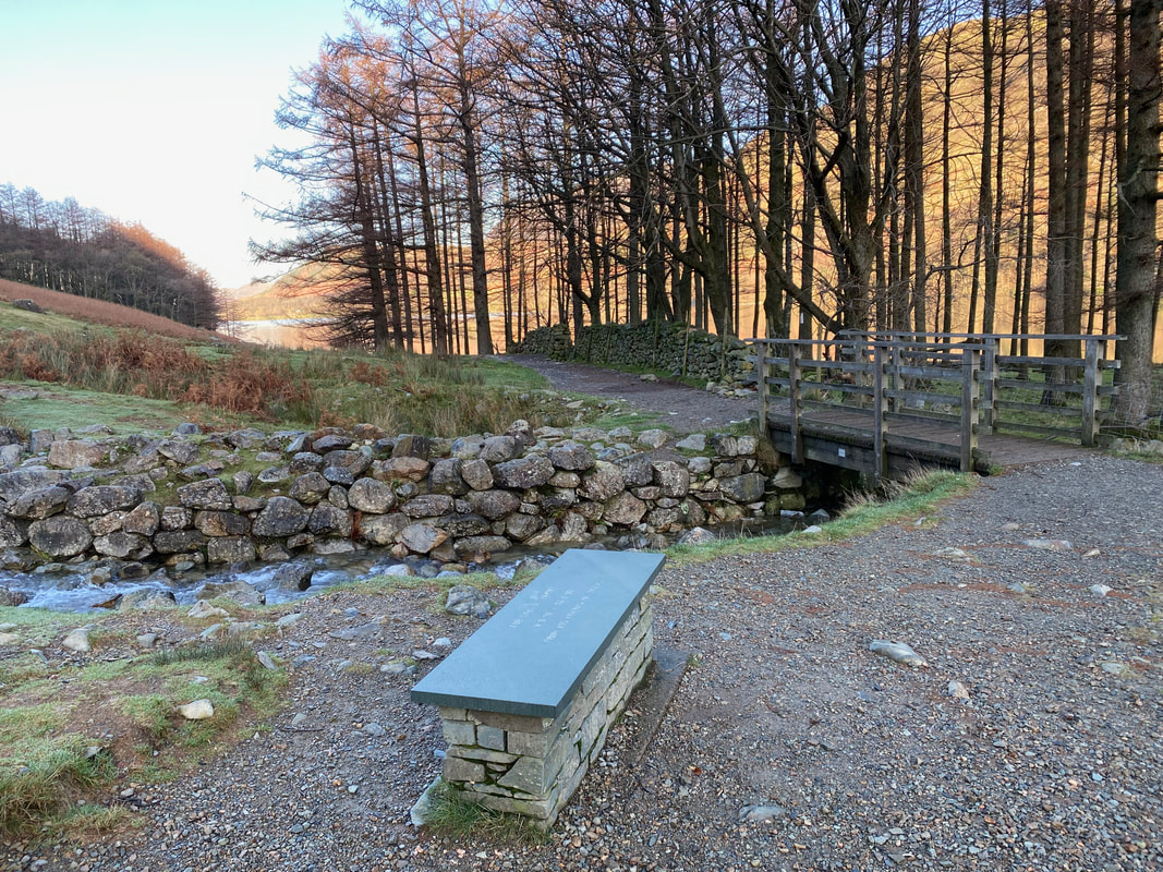
The footbridge over Buttermere Dubs which we would be crossing over shortly. The original bridge was damaged beyond repair by flood waters in 2018 and has since been replaced by a new bridge. The rebuild was sponsored by Simon Smith in memory of his wife Lynn and was reopened in September 2019.
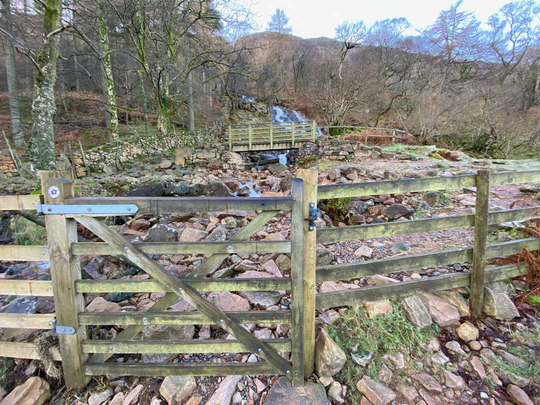
A gate off the main path gives access to the bridge over Sourmilk Gill. If you do not wish to visit the gill simply remain on the path. From the gill, the route can be rejoined by crossing the bridge.
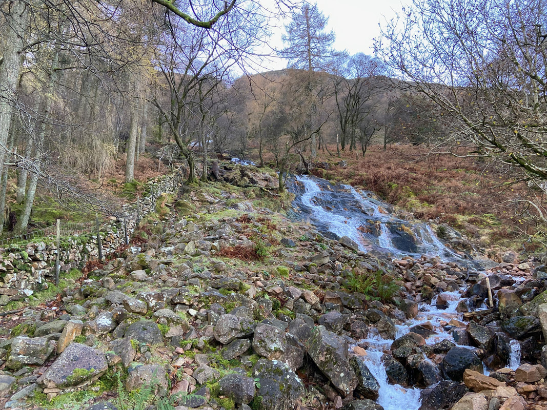
Sourmilk Gill tumbles down the fellside. The gill is the outflow from Bleaberry Tarn which sits below Red Pike.
The cascading water of Sourmilk Gill (Click Play to view)
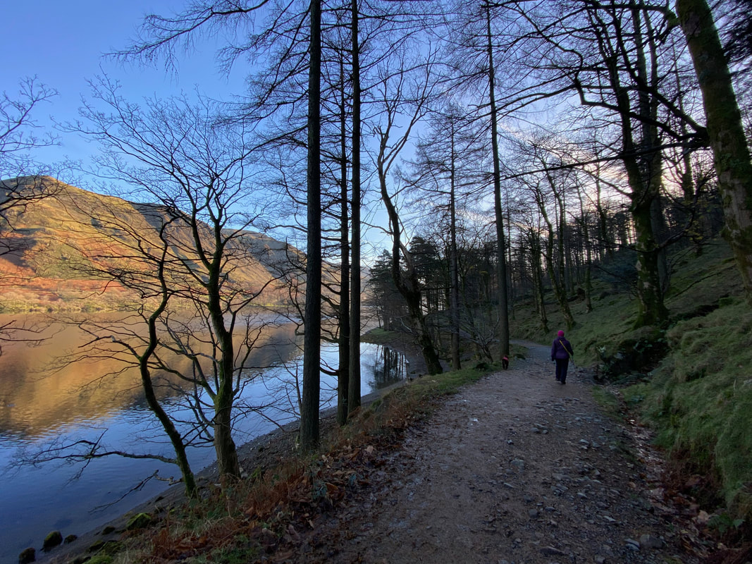
Rejoining the lakeshore path at Burtness Wood, there now begins a glorious circular walk around this beautiful lake
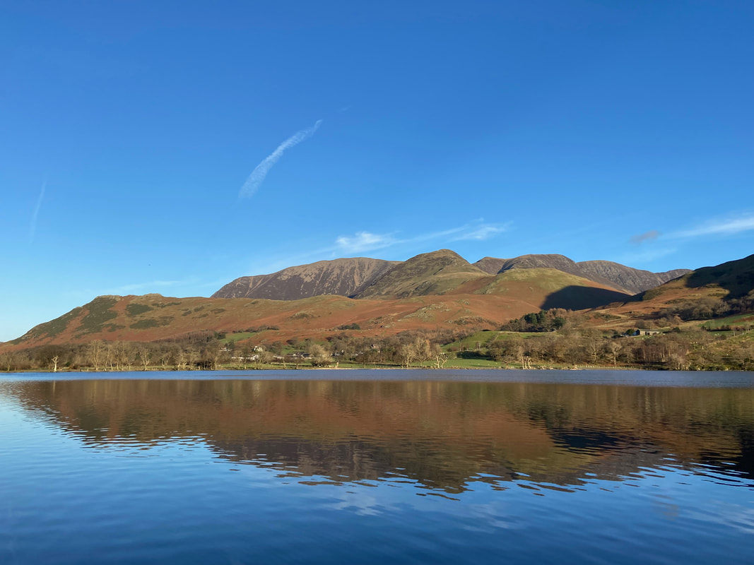
Looking across Buttermere to Rannerdale Knotts, Grasmoor, Whiteless Pike, Crag Hill, Wandope & Sail
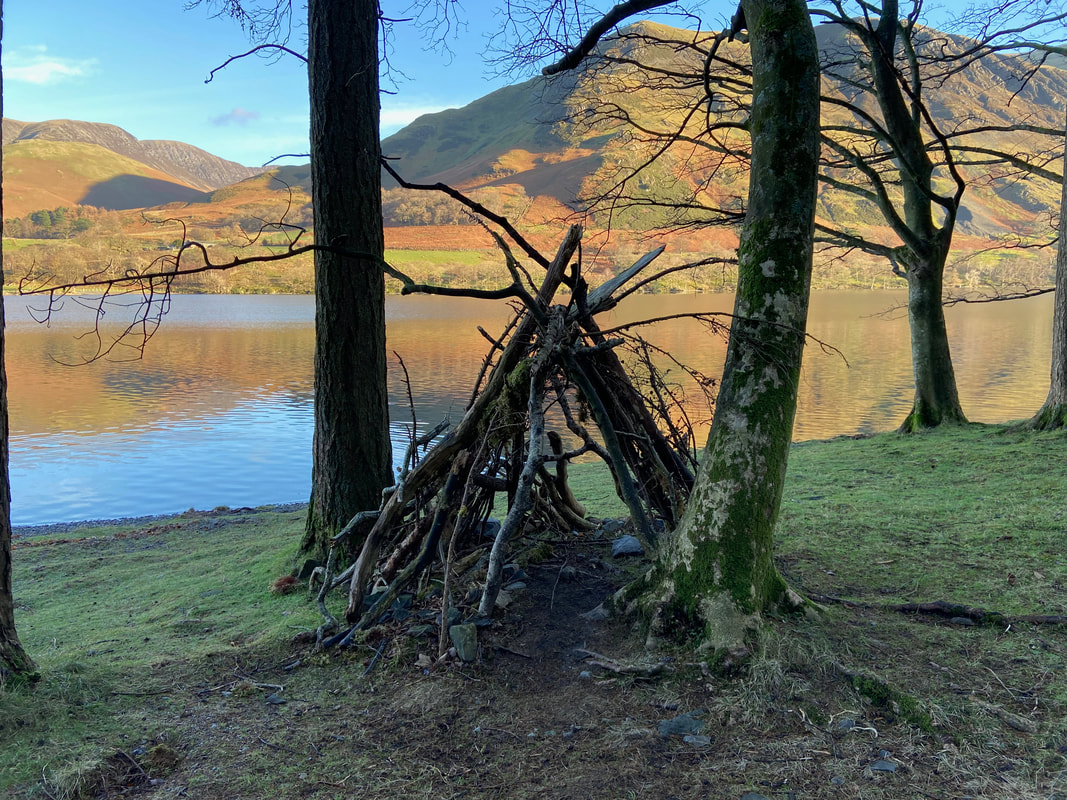
A strange set up on the lakeshore but at least nobody had set fire to it
High Snockrigg & Hindscarth with the heart shaped feature of Goat Crag to the right
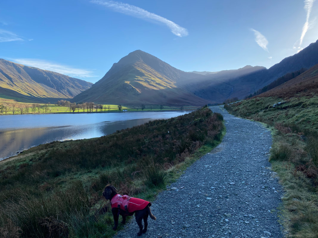
Looking south east down Buttermere to Fleetwith Pike whilst Fudge tries to empty the lake
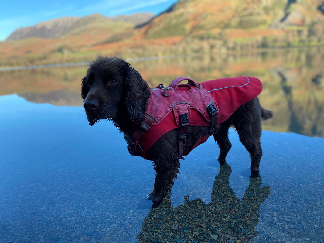
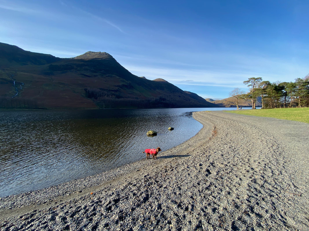
Fudge does his 3 legged dog balancing act in Buttermere
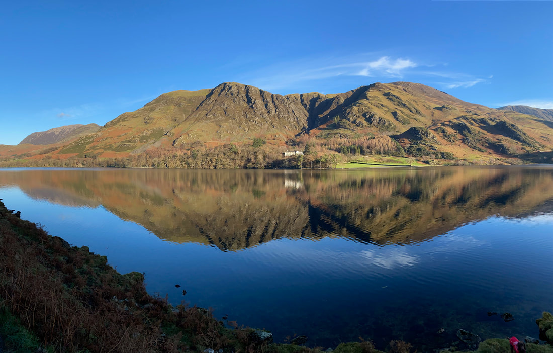
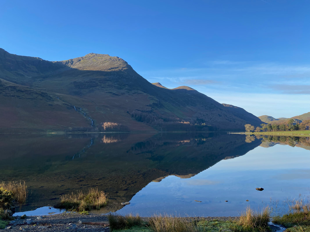
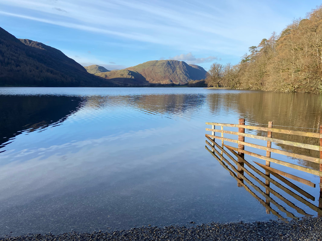
Gorgeous reflections as we look across Buttermere
At Grid Reference NY 180 157 the path splits into three - pick any one as they all end up in the same place. I took the lakeshore path to the left whilst Angie & Fudge headed down the middle.
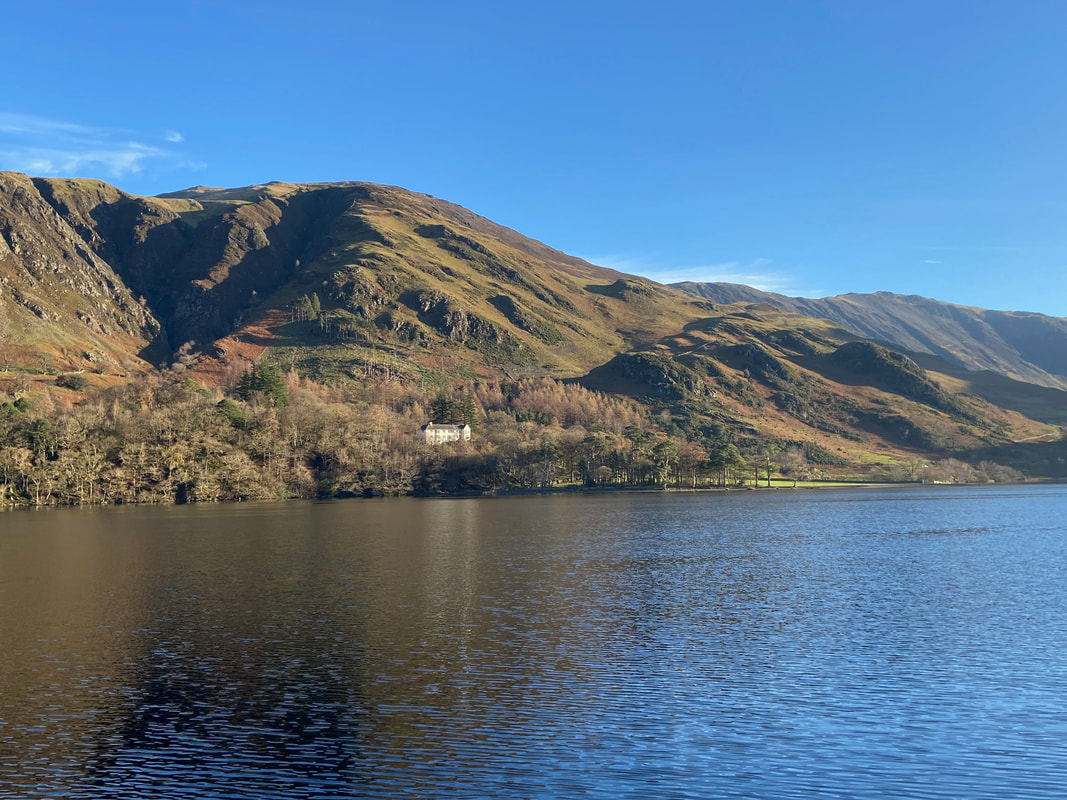
Looking across to Hassness Country House with Goat Crag to the left - the property is owned by Ramblers Walking Holidays
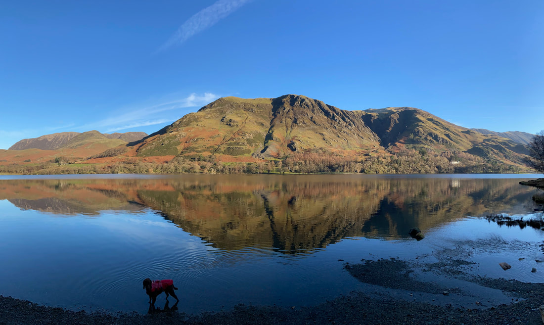
A glorious panorama across Buttermere to High & Low Snockrigg, Goat Crag, Robinson & Hindscarth
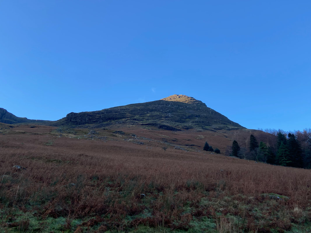
Looking up to High Stile
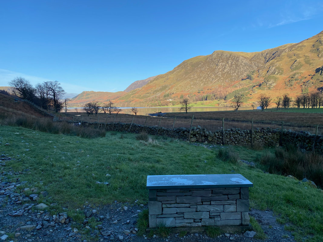
One of several slate memorial seats on this route
The far end of the lake is near now as we look to Fleetwith Pike & Warnscale Bottom. Fudge gawps at the water waiting for the command "in".
Littledale Edge leading to Hindscarth
The second memorial seat, this time at the end of the lake near Peggy's Bridge
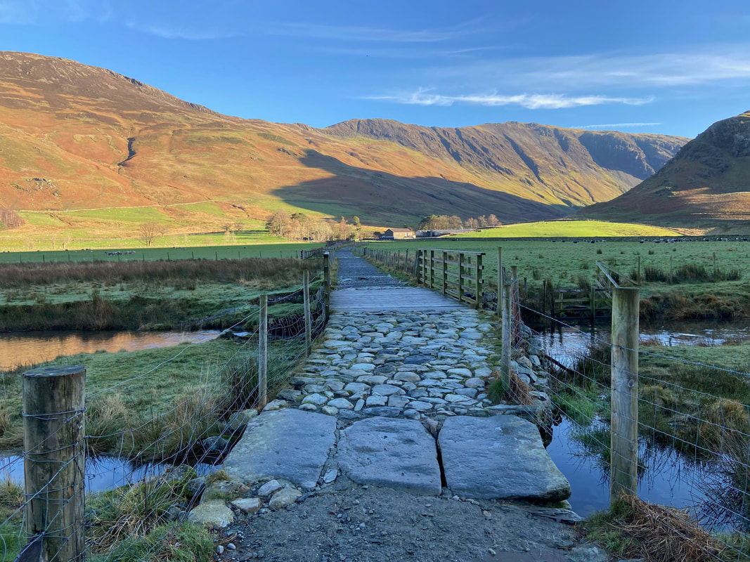
Peggy's Bridge now ahead with Gatesgarth Farm at the end of the track
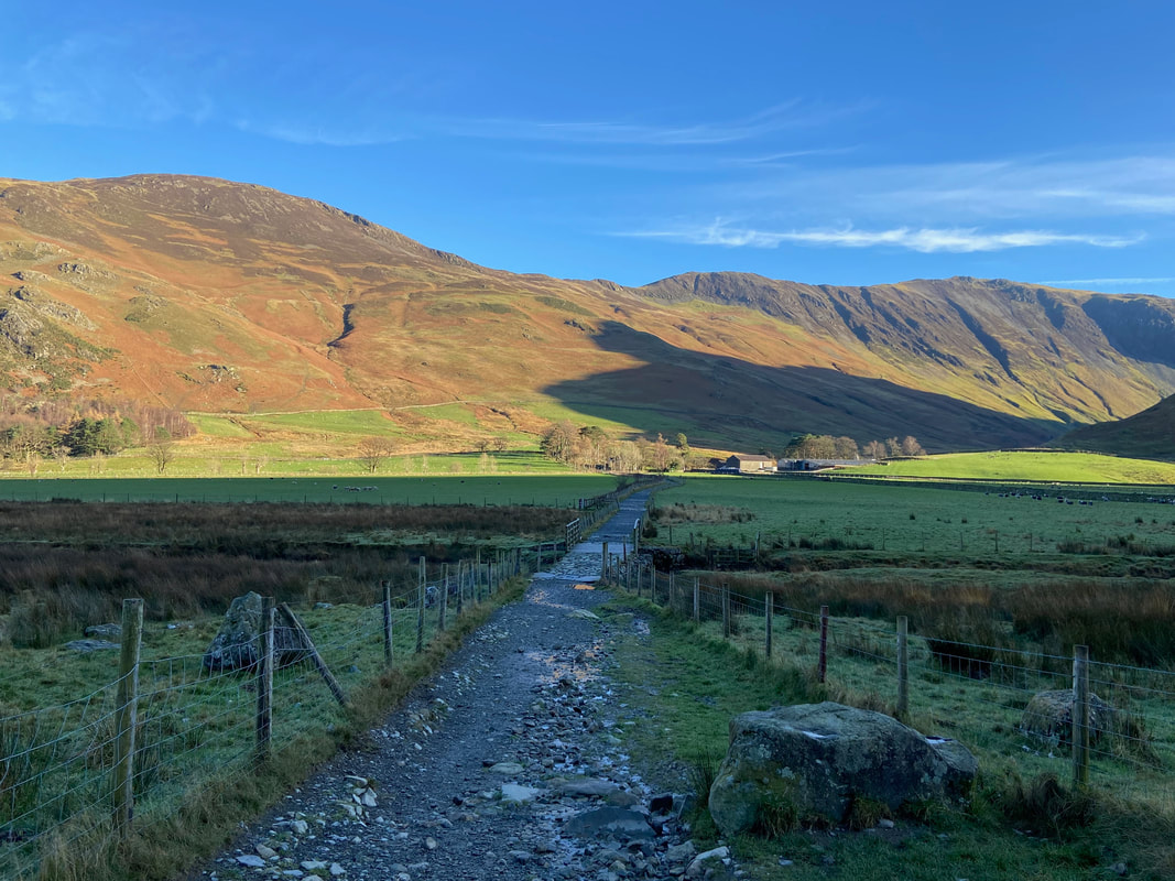
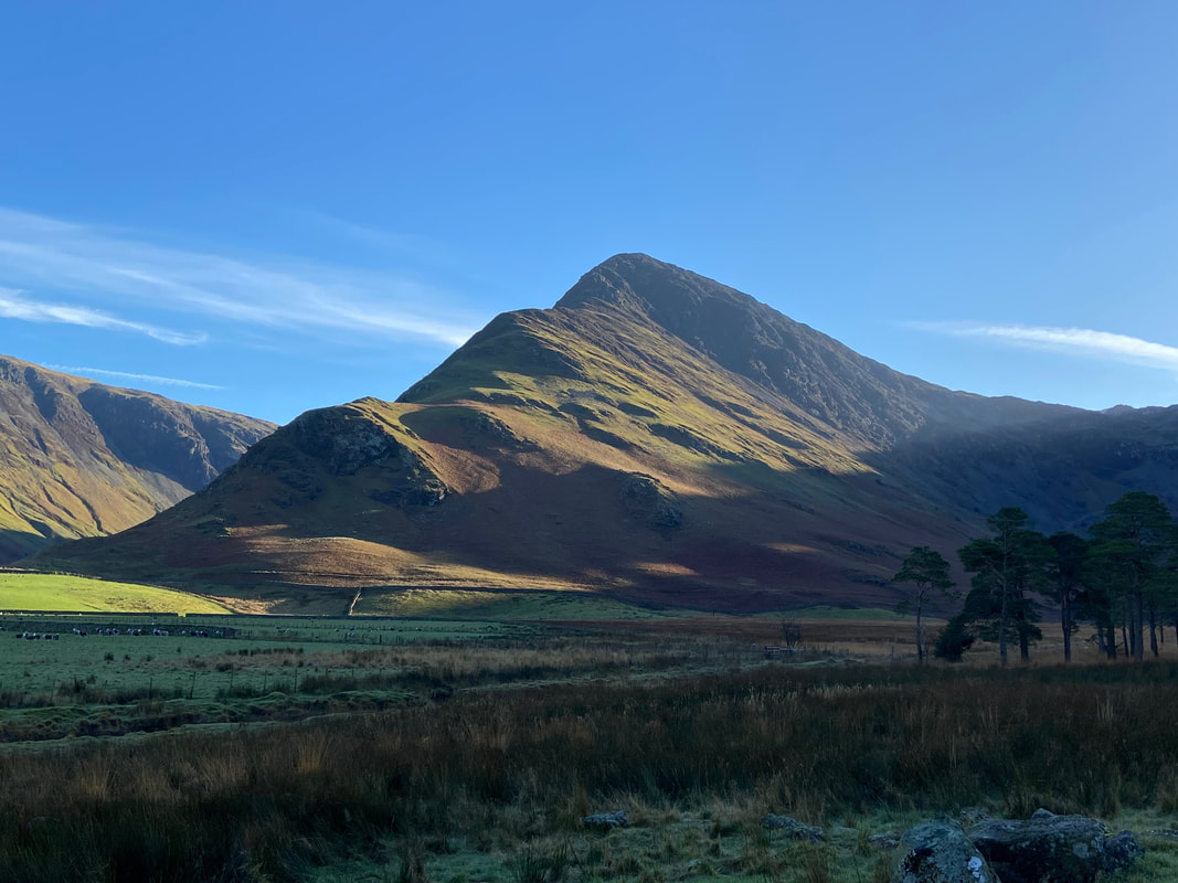
Fleetwith Edge leading up to the summit of Fleetwith Pike - in my opinion the best route of ascent
Peggy's Bridge which crosses the outflow of Warnscale Beck
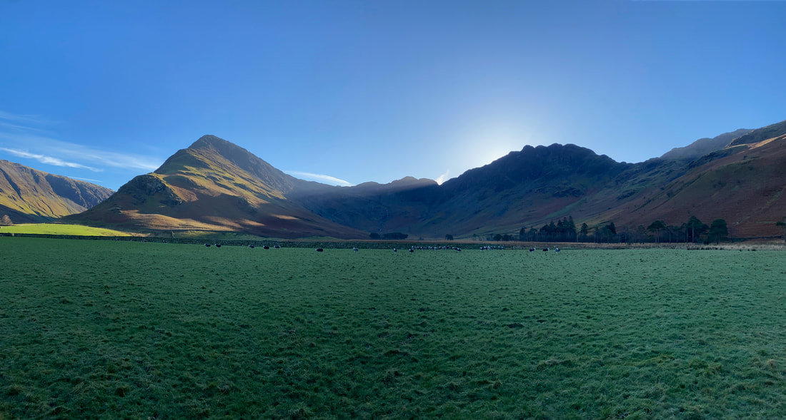
A panorama from the farm track to Gatesgarth Farm - framing the shot are Fleetwith Pike, Warnscale Bottom & Haystacks
Looking back to High Stile
Tom's Fold at Gatesgarth Farm
There is no public access into the fold which is used by Cockermouth Mountain Rescue Team. Just inside the fold is a memorial to two members of the team who were tragically killed on 15th June 1969. On that day the Team was practicing a new technique involving a horizontal lower. They were on Low Crag above Buttermere, and it was on the second lower that a huge section of rock forming one of the main belays broke away engulfing the whole party in a rock fall. The outcome of this resulted in two members being killed, three seriously injured and many others with minor injuries.
There is no public access into the fold which is used by Cockermouth Mountain Rescue Team. Just inside the fold is a memorial to two members of the team who were tragically killed on 15th June 1969. On that day the Team was practicing a new technique involving a horizontal lower. They were on Low Crag above Buttermere, and it was on the second lower that a huge section of rock forming one of the main belays broke away engulfing the whole party in a rock fall. The outcome of this resulted in two members being killed, three seriously injured and many others with minor injuries.
The Car Park at Gatesgarth Farm - it was now time to head back to Buttermere via the north side of the lake
The B5289 heading in the direction of Buttermere. The road is followed for about 1/3 of a mile to a path which leaves the road on the left.
Another gorgeous reflection over Buttermere to High Stile, Comb Beck, Red Pike & Dodd
The path is finally reached as it leaves the road to head back to Buttermere via the lakeshore
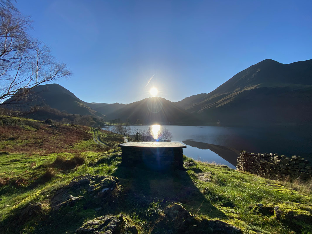
The sun hits the lens as we reach the third slate memorial seat which is near Crag Wood
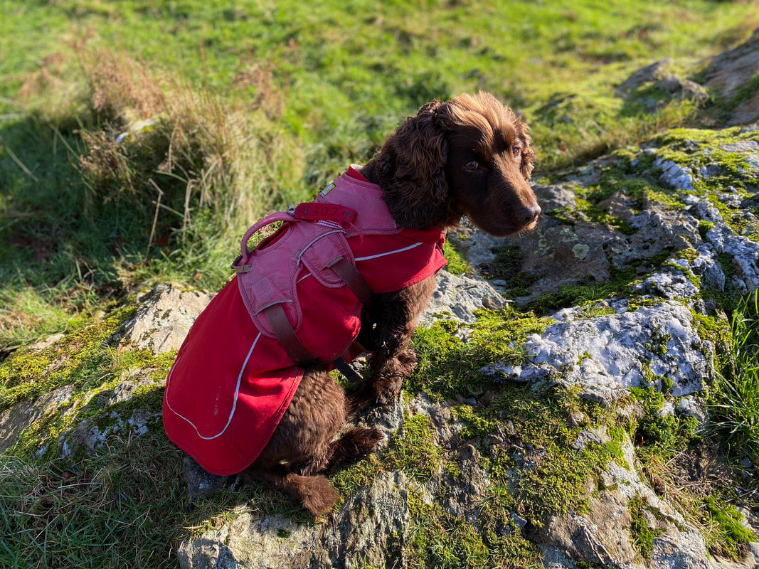
Another sulking session from the Fudgemeister as we sit and have our lunch - he had already wolfed his down.
Leaving the memorial seat we dropped back down to the lakeshore
Approaching Crag Wood. Fudge has been here many times and loves this place.
Looking back along the lakeshore to Fleetwith Pike
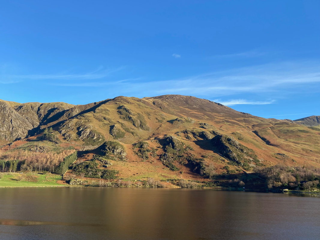
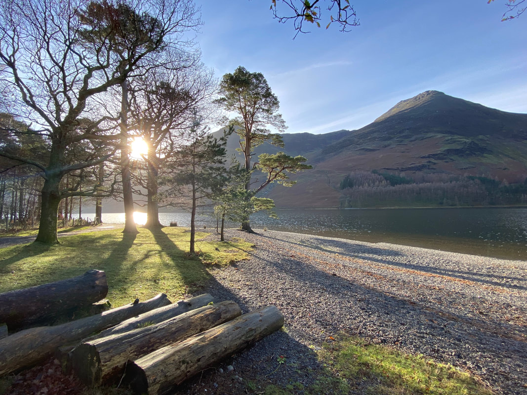
The autumn sun breaks through the trees of Crag Wood as we look over the lake to High Crag & High Stile
Mellbreak
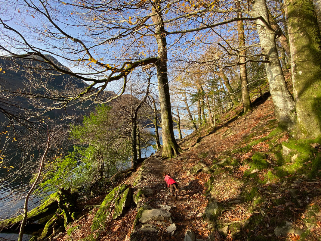
Fudge leads us through Crag Wood as the path rises above the lake
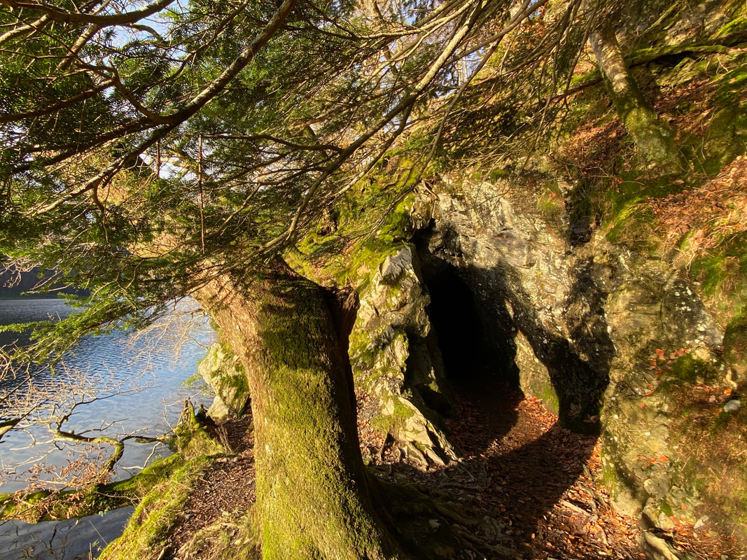
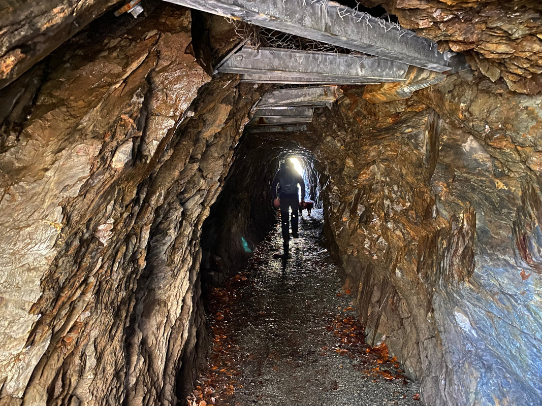
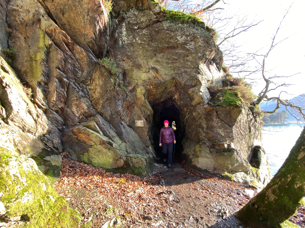
Below Pike Rigg the path passes through a hollowed out rock which was carved out in the 19th century by a Manchester Mill owner. Please remember to duck if you are over 6ft tall or it is going to hurt!
Passing through the hollowed out rock.....................
......... and out the other side
At the end of the lake there are two options to return to the village. Either walk to the right which returns to the village via Wilkinsyke Farm or, as we did go to the left around the head of the lake to meet our outward route.
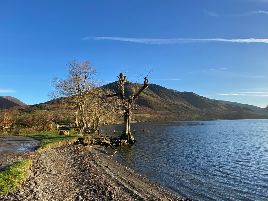
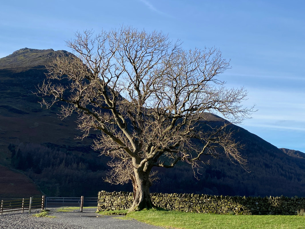
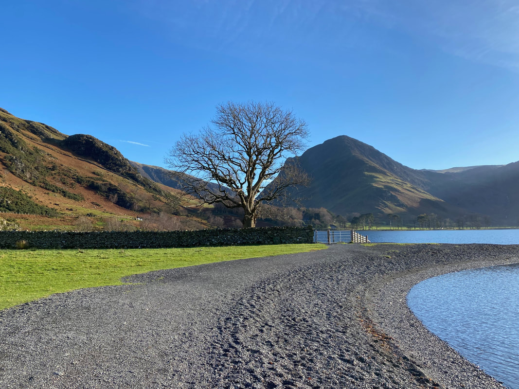
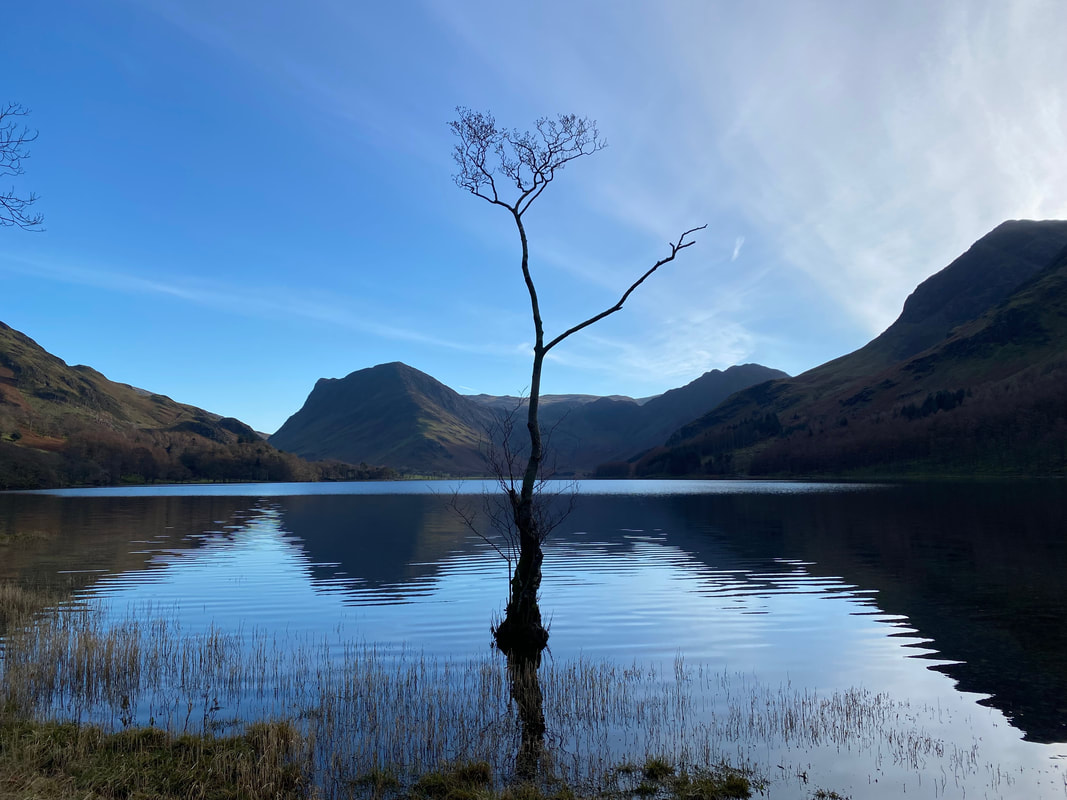
The lone tree at Buttermere - this must be one of the most photographed scenes in the Lake District but not hard to see why
The stillness of Buttermere (Click Play to view)
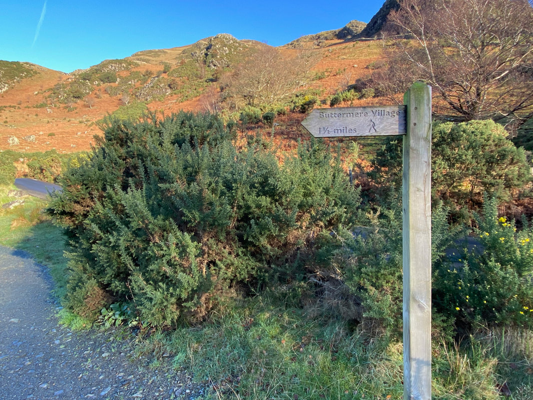
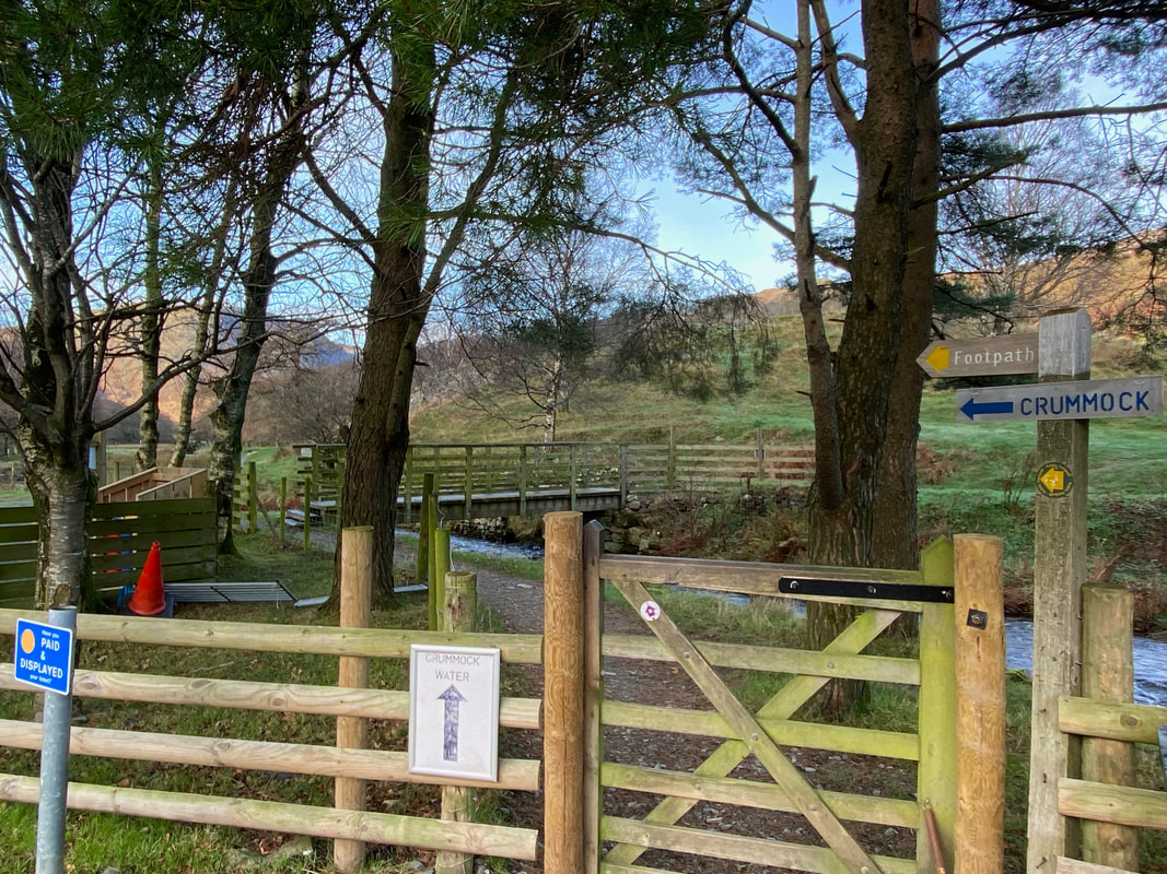
Arriving back at Buttermere. Rather than walking back along the road to the NT Car Park we decided to have a wander by the side of Mill Beck. The path heads through the gate but does not cross the bridge.
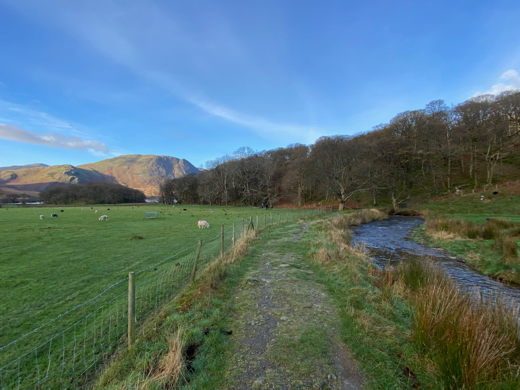
The path alongside Mill Beck with Mellbreak distant
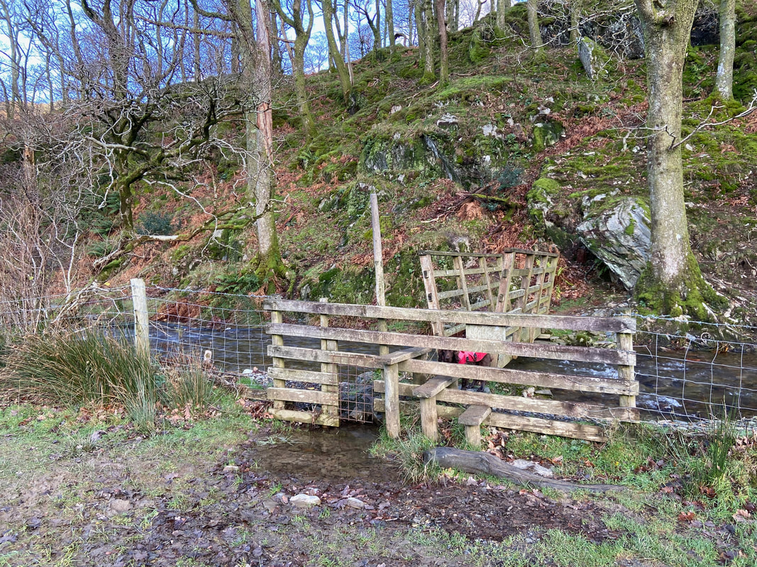
A few hundred yards before Crummock Water, Mill Beck is crossed via this footbridge to enter Long How
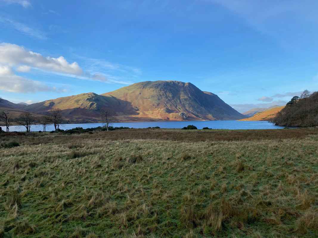
Mellbreak and Scale Knott over Crummock Water
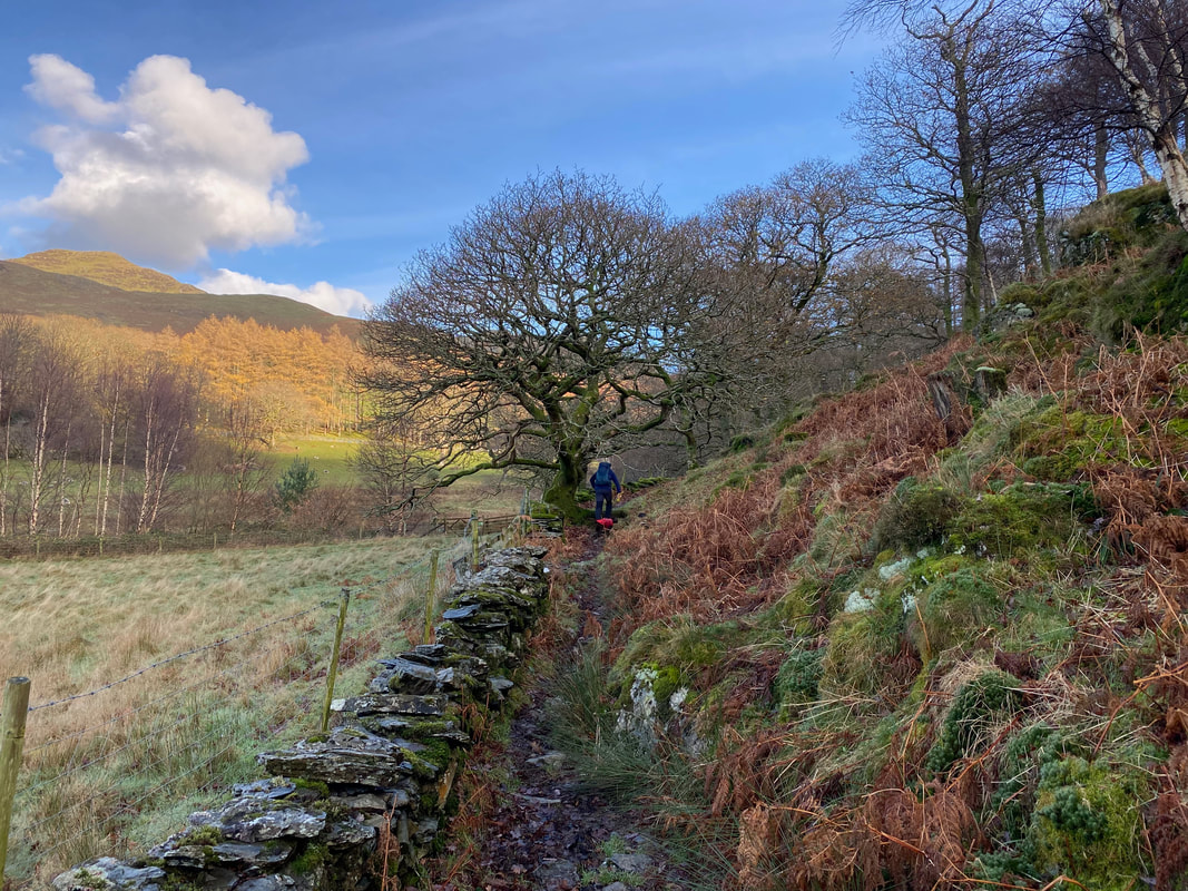
Initially the path handrails the wall on the western side of Long How
Heading through Long How back to the National Trust Car Park
