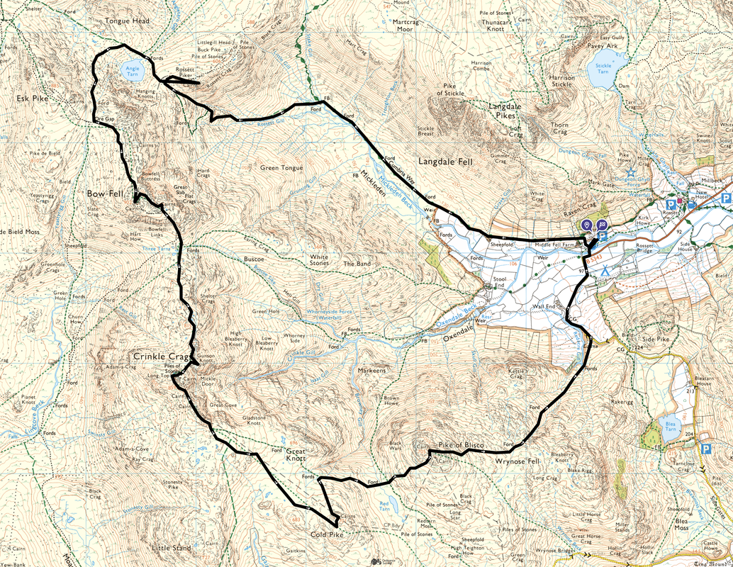
Rossett Pike, Bowfell, Crinkle Crags, Cold Pike & Pike O'Blisco - Monday 22 May 2023
Route
Old Dungeon Ghyll (ODG) - Mickleden - Rossett Gill - Packwoman's Grave - Rossett Gill - Rossett Pike - Angle Tarn - Ore Gap - Bowfell - Great Slab - Three Tarns - Crinkle Crags - Cold Pike - Pike O'Blisco - Wrynose Fell - Wall End - ODG
Parking
The National Trust Car Park at the Old Dungeon Ghyll Hotel (charge although free for members). The Car Park is located at Grid Reference NY 286061 and the nearest postcode is LA22 9JY.
Mileage
12 miles
Terrain
The transit from the Rossett Gill path up the ravine is pathless and bouldery but perfectly navigable in good conditions. Care should be taken on the transit over Crinkle Crags in mist as the path does not follow a natural direct line.
Weather
Overcast at the start however the weather improved from late morning.
Time Taken
8hrs 10mins
Total Ascent
4251ft (1296m)
Wainwrights
5
Map
OL6 - The English Lakes (South Western Area)
Walkers
Dave with Malcolm Summers, Peter Moore and Poppy
|
GPX File
|
| ||
If the above GPX file fails to download or presents itself as an XML file once downloaded then please feel free to contact me and I will send you the GPX file via e-mail.
Route Map
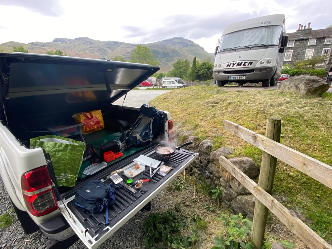
I knew that my walking companions for today would have enjoyed the benefit of a massive fry up at their B&B. In order not to miss out I therefore arrived a bit early, opened up Walshy's Kitchen and made myself some bacon & egg butties.
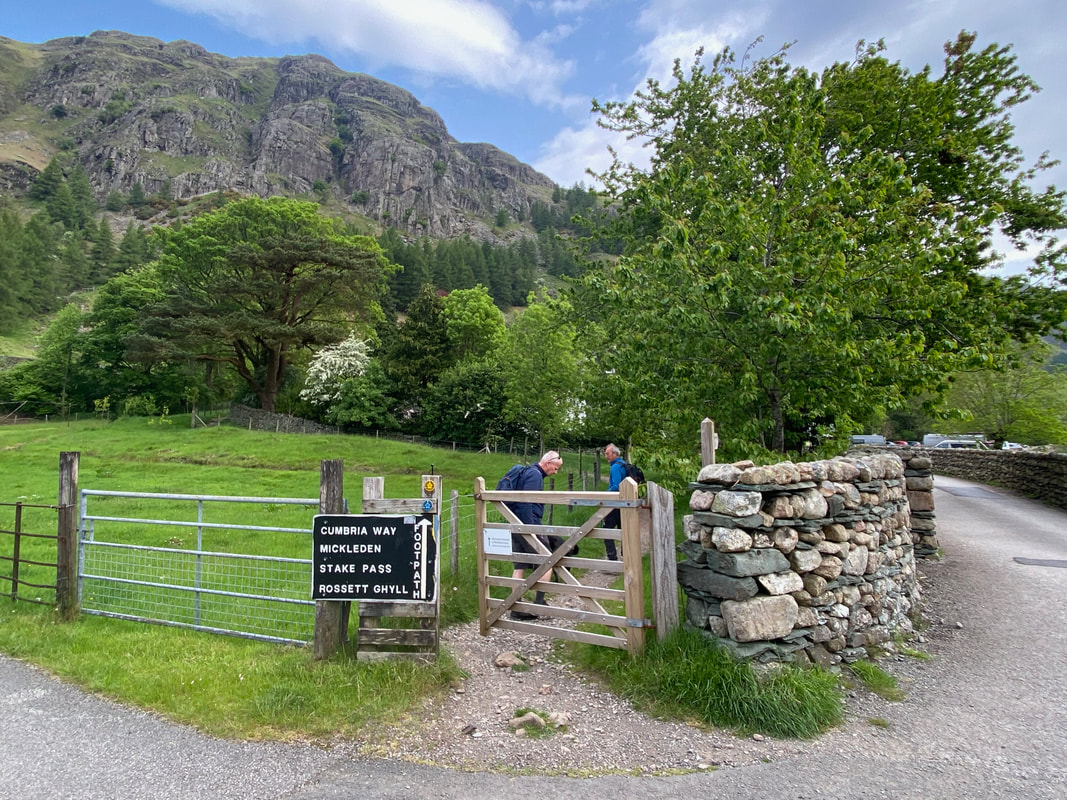
Leaving the NT Car Park we would be heading out towards Rossett Gill via the valley of Mickleden. I was out today with friends Malcolm & Peter plus Poppy dog. No Fudge today as he was resting up after a couple of big walks in the previous few days.
Looking across to Kettle Crag with Pike O'Blisco beyond to the right
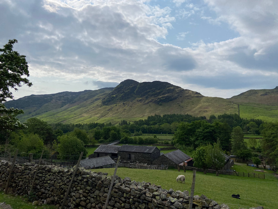
Lingmoor Fell & Side Pike over the buildings of Middle Fell Farm
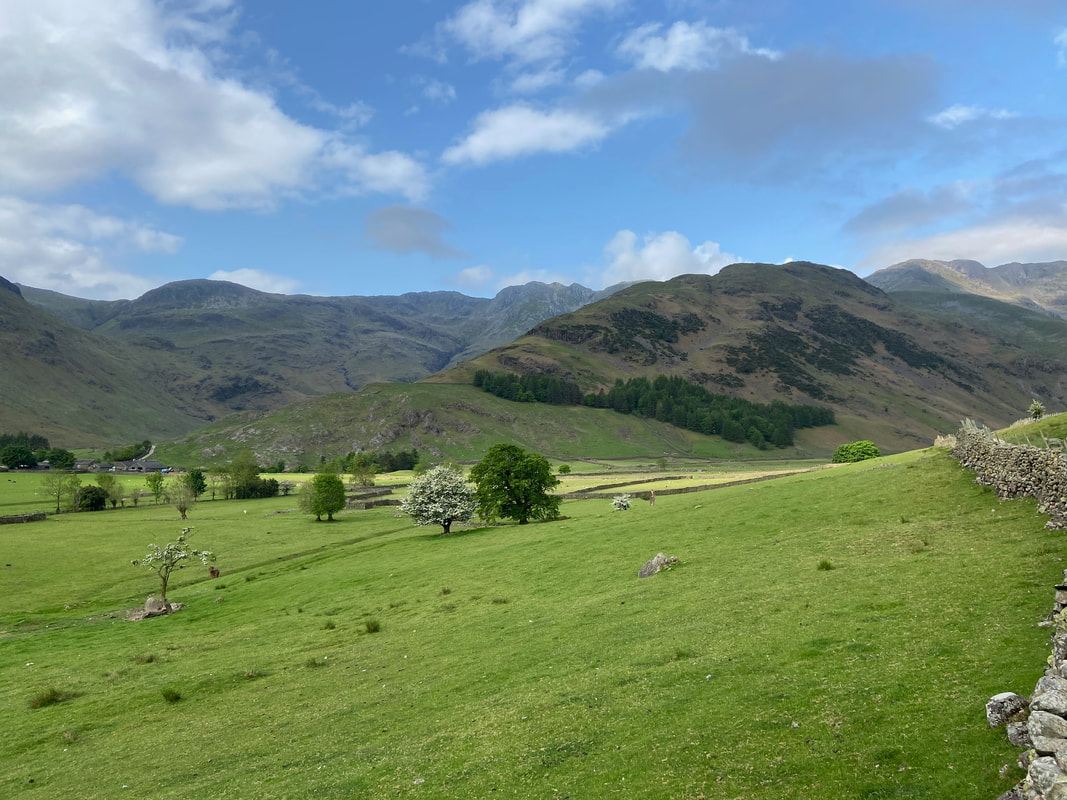
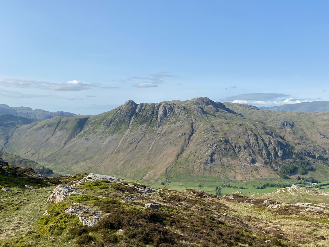
Great Knott, Crinkle Crags & Bowfell to the rear with The Band in the foreground. The ascent of The Band leads to Three Tarns and also to the start of the Climber's Traverse path to Great Slab & Bowfell Buttress.
With the slopes of The Band to the left we continue on through Mickleden along The Cumbria Way. In the distance are Bowfell & Hanging Knotts with Rossett Pike to the centre right.
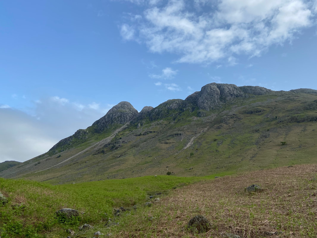
The unmistakeable Pike O'Stickle with Gimmer Crag to the right
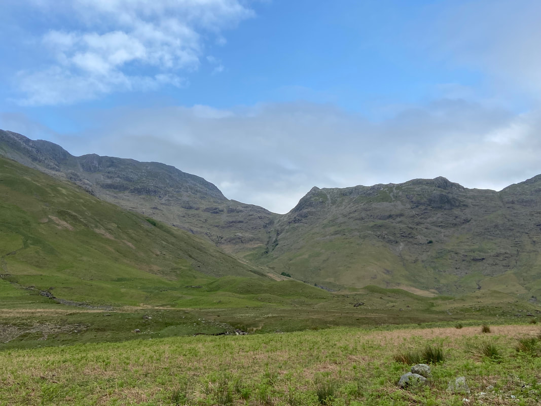
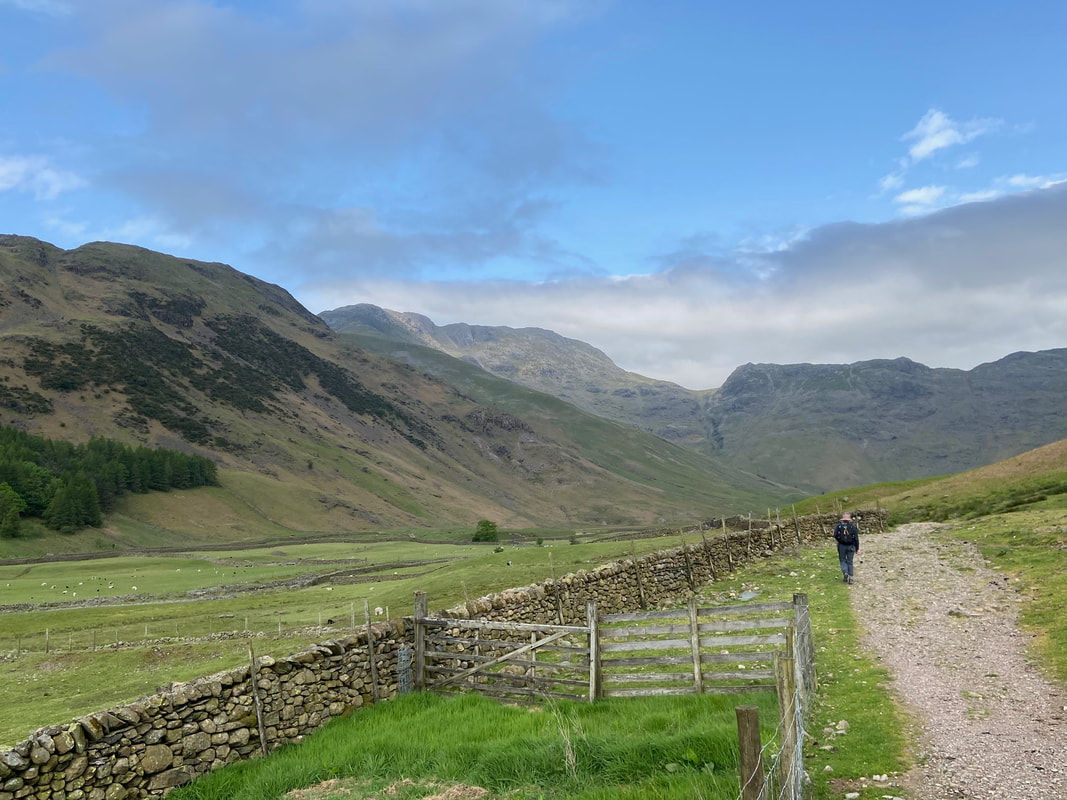
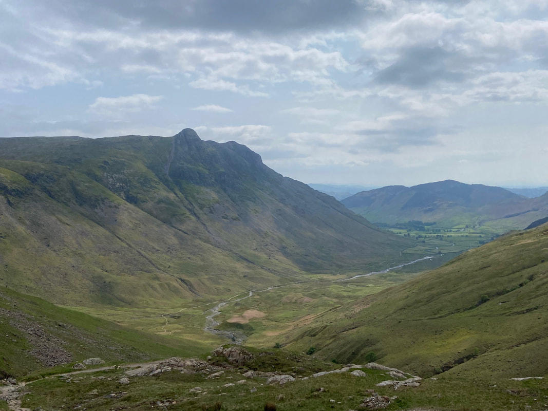
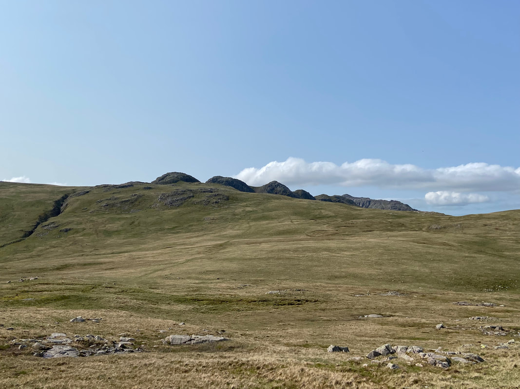
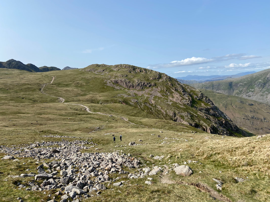
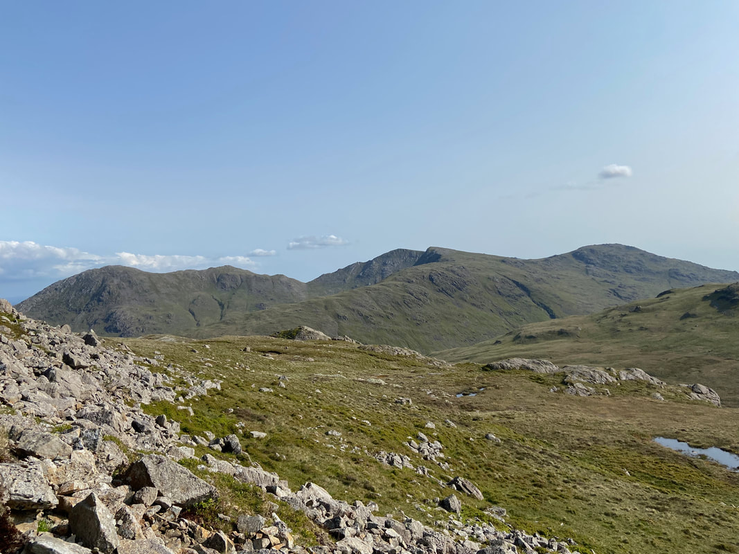
A little further up the valley and our route of ascent to Rossett Pike becomes clearer. We would be heading to the col in the centre of shot via the ravine of Rossett Gill directly below it. The usual path heads over to the left then turns to the right to reach the col.
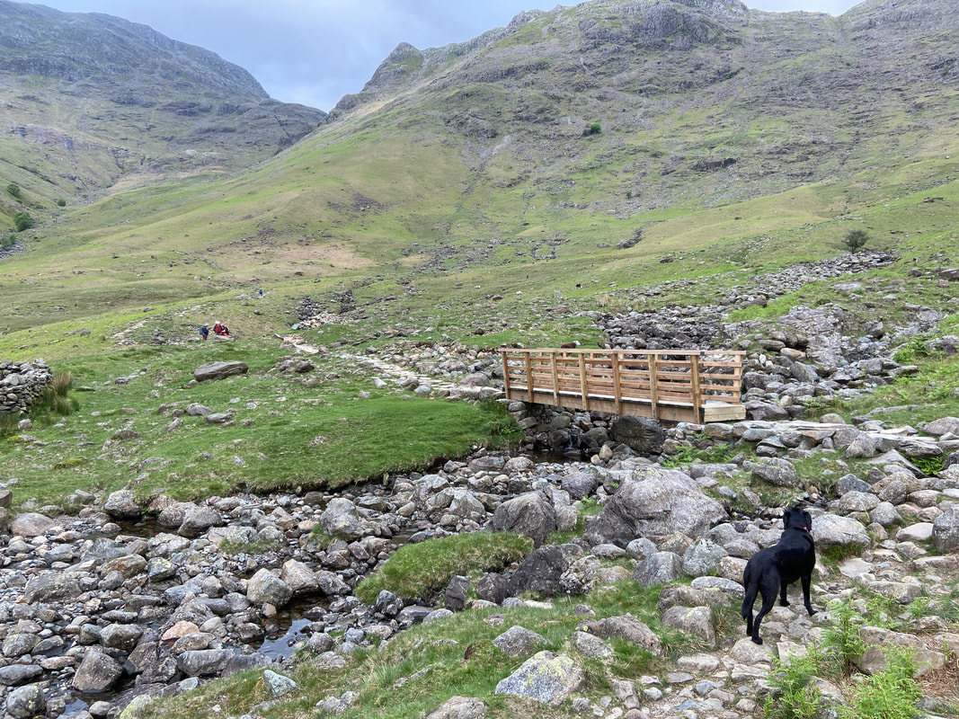
Poppy looks on as we reach the footbridge over Mickleden Beck & Stake Gill
Just a few yards over the footbridge the path splits. The Cumbria Way heads over to the right via the Stake Pass whilst our route to the left leads on to Esk Hause.
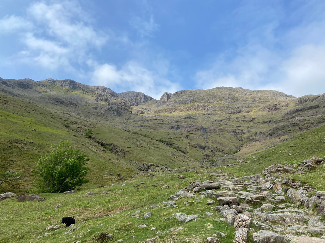
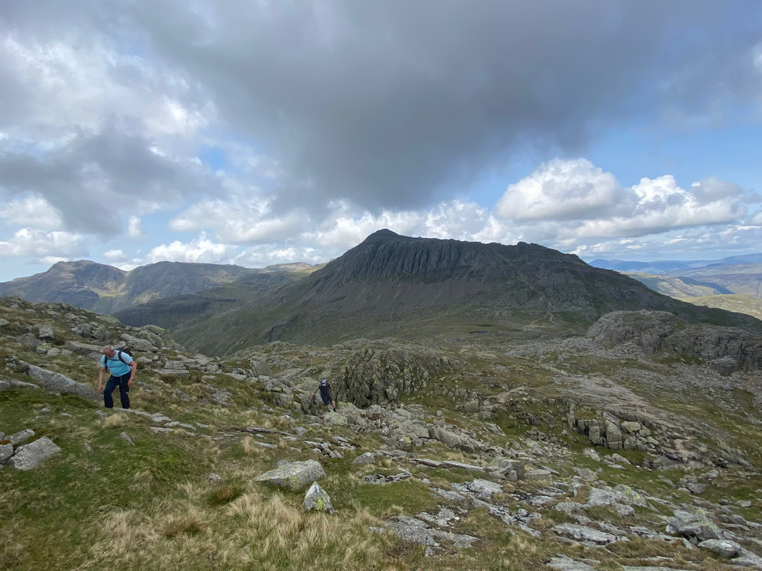
Bowfell directly ahead of us now as we start the climb up the Rossett Gill path
Looking back along Mickleden to the Langdale Pikes
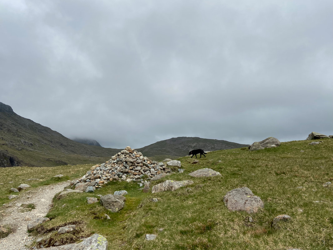
Leaving the main path for the ravine we made a detour to visit the Packwomans Grave. A small cairn and cross of stones pointing south east indicate the grave which contains the remains of a woman who used to call at Langdale farms with various items for sale. Her remains were found & buried here over 200 years ago. As Wainwright himself said "it has suffered little disturbance down the years, but because so many folk nowadays seem unable to leave things alone its precise location is not divulged here" (Rossett Pike 4).
I shall not divulge its location either.
I shall not divulge its location either.
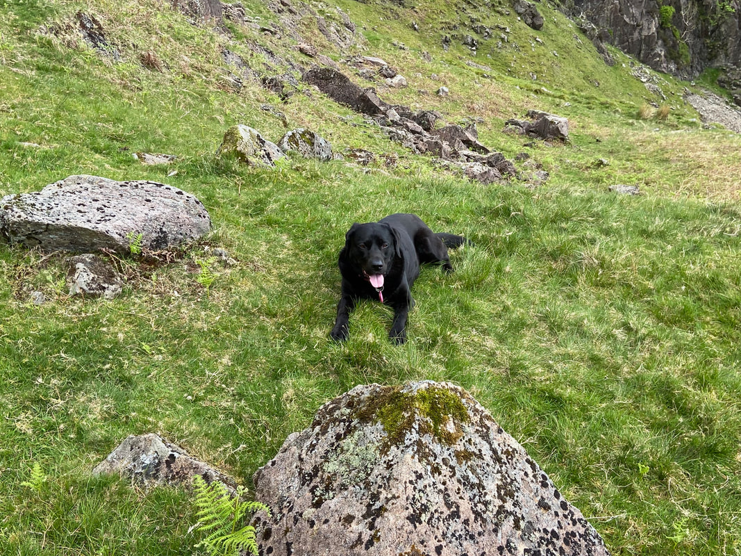
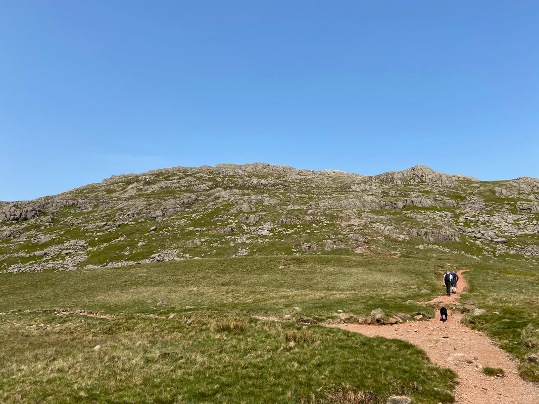
Poppy has a breather before we commence our climb through the ravine
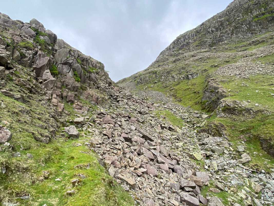
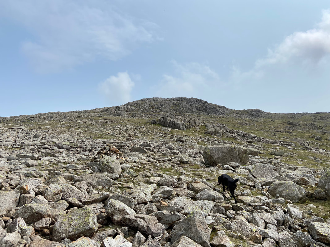
The start of the rocky ascent through the ravine. The best route up is via the left hand side.
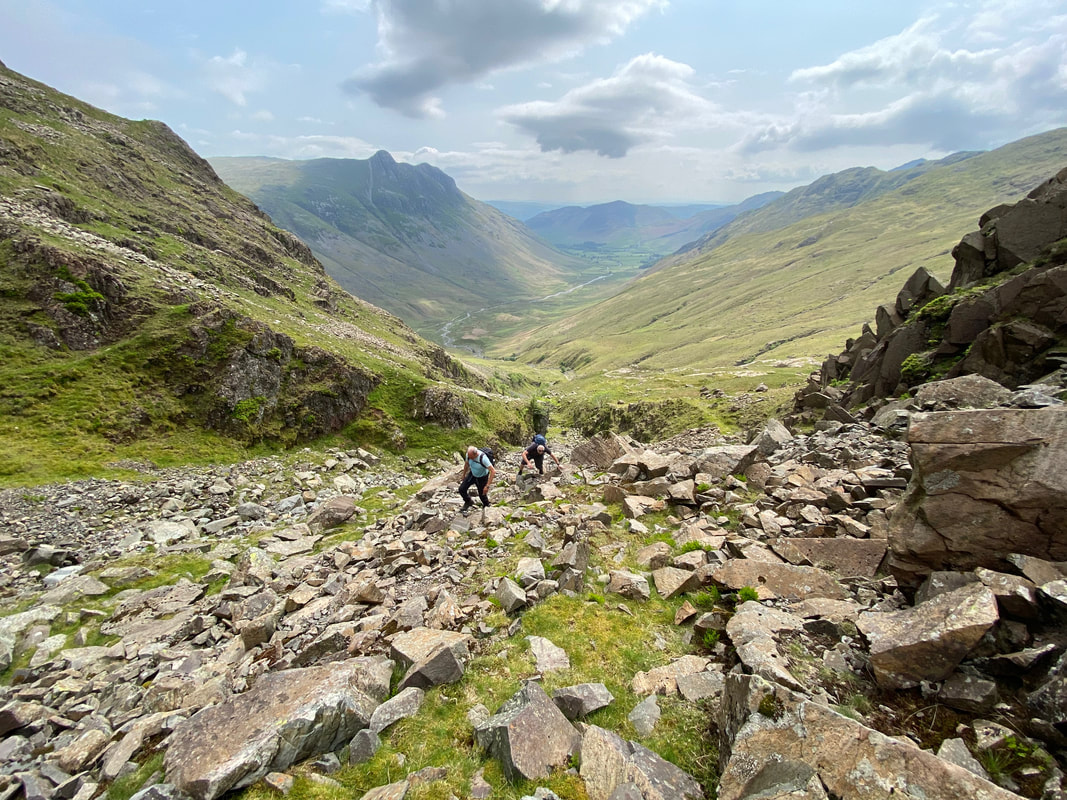
Looking back down the ravine as Peter & Malcolm make their way up. The going is fairly good although care would need to be taken if the rocks were wet, icy or covered in snow. If this is the case then it is probably best to use the paved path instead.
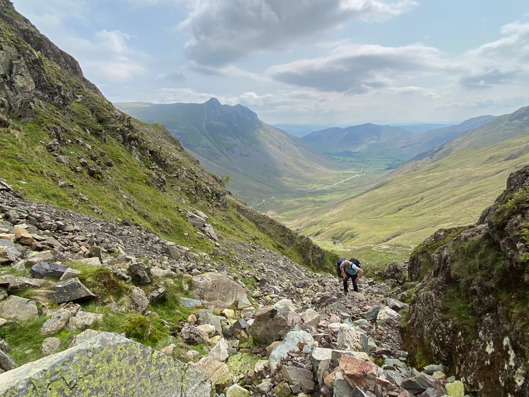
Almost at the top of the ravine and the junction with the paved path
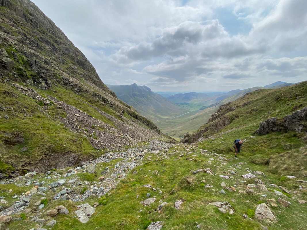
At the top of the ravine the going becomes grassy - the Rossett Gill path is over to the right just out of shot
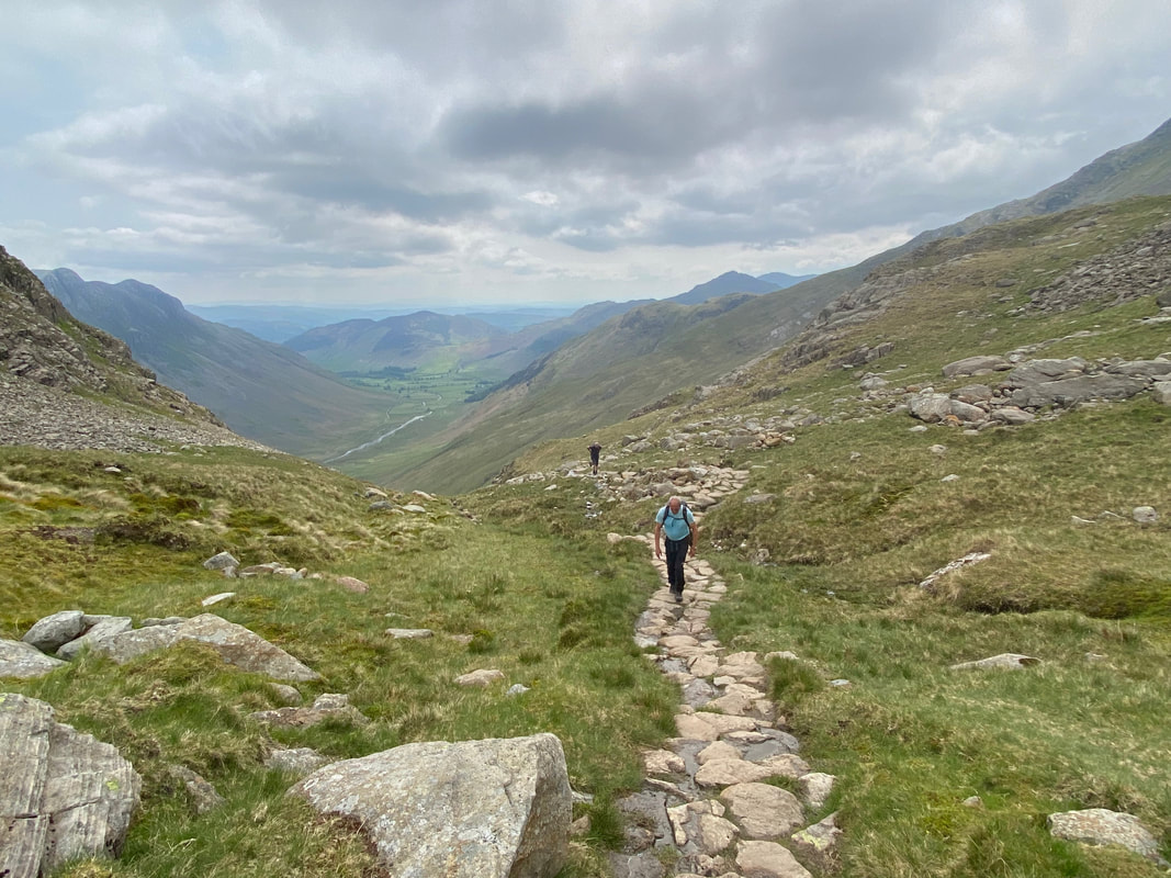
Back on the path now as we near the col
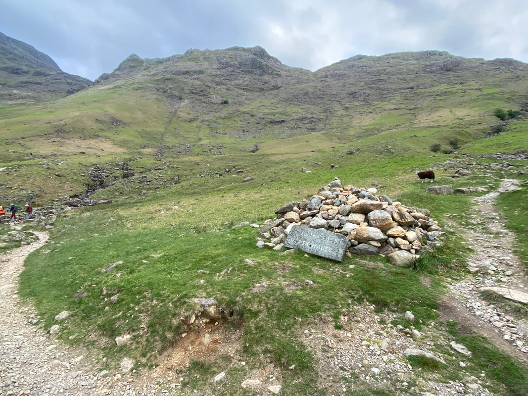
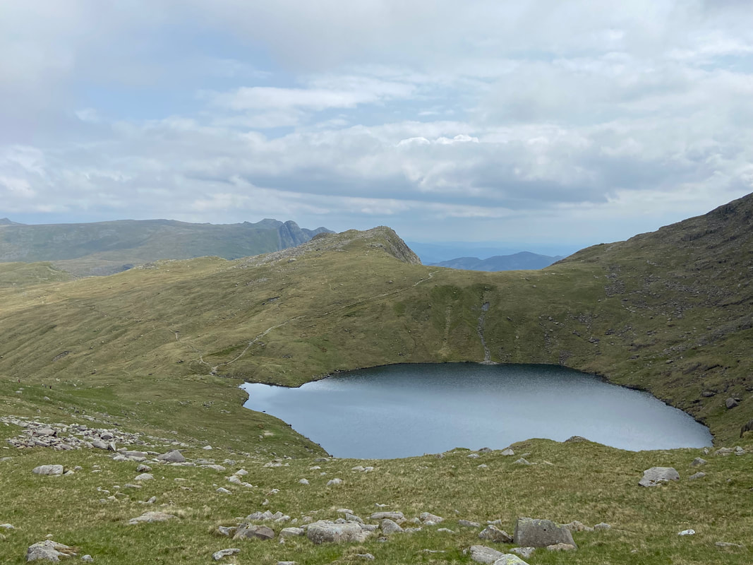
At the top of the col a large cairn is reached. The path to Esk Hause continues straight on however we would be turning right here to do a quick out and back over to Rossett Pike.
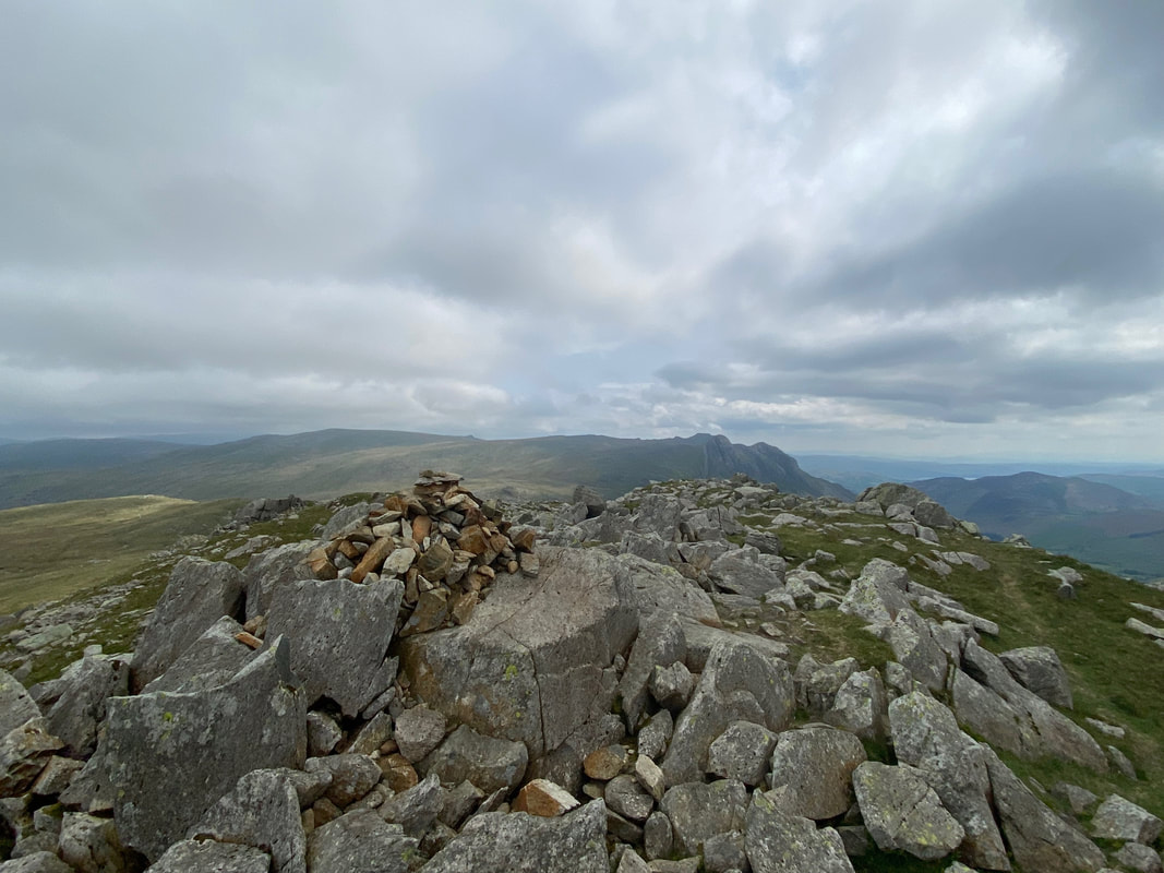
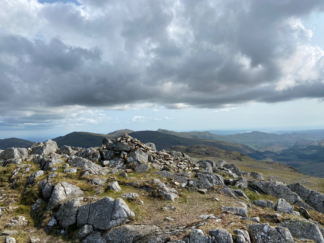
The summit of Rossett Pike
The east cairn on the summit ridge of Rossett Pike. It is certainly worth a wander over the hundred or so yards to visit it as it gives grand views down to Langdale and Mickleden.

The view into Mickleden and the Langdale valley from the east cairn
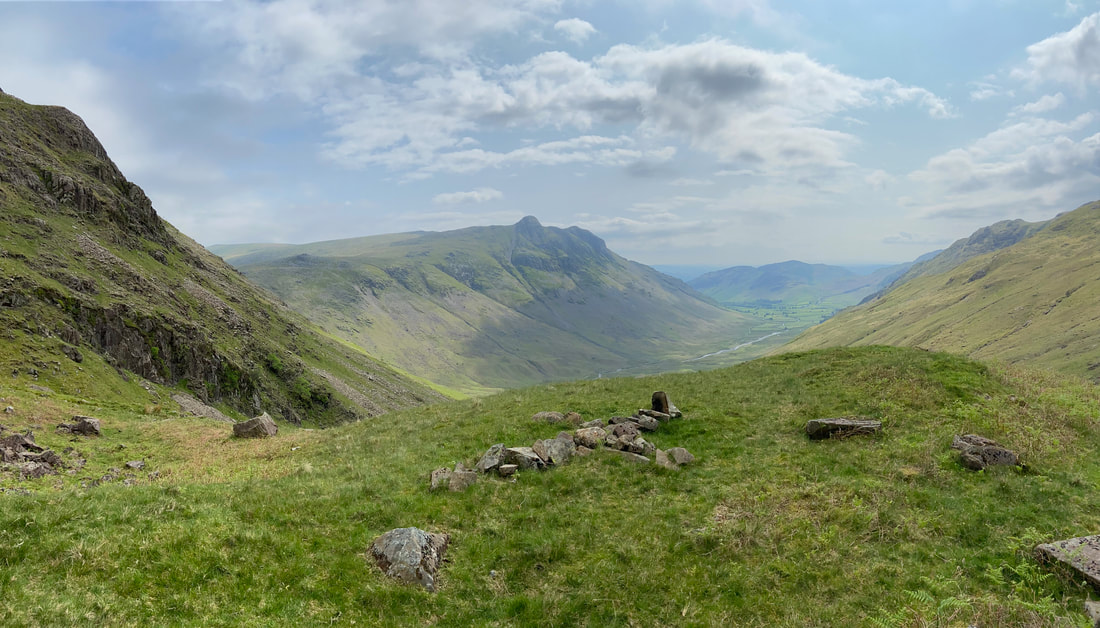
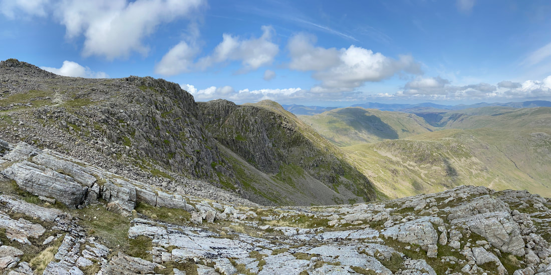
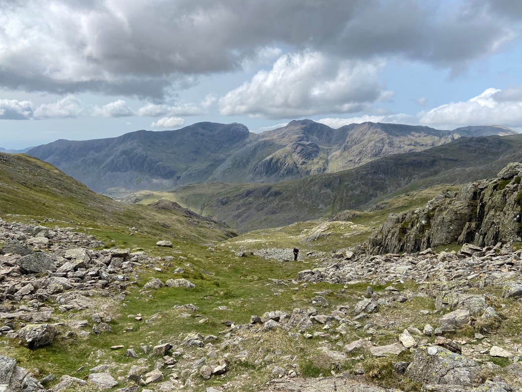
Looking to our route of ascent from the summit of Rossett Pike with Bowfell beyond. The exit from the ravine can be seen to the left with the paved path above it.
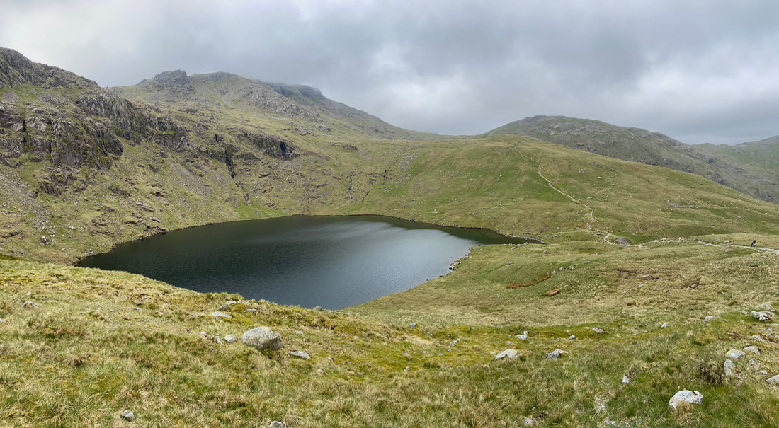
Angle Tarn below Esk Pike with Esk Hause centre and Great End to the right
The junction of paths at the outflow of Angle Tarn with Allen Crags beyond. Both the paths to the right lead to Langstrath - the upper path via Angletarn Gill and the lower path via the Stake Pass. We would be heading straight on towards Esk Hause but would soon break off to the left to head to Ore Gap.
Angle Tarn & Rossett Pike with the Langdale Pikes beyond
Looking down from the Ore Gap path to Langstrath over to the left and the outflow of Angle Tarn to the right
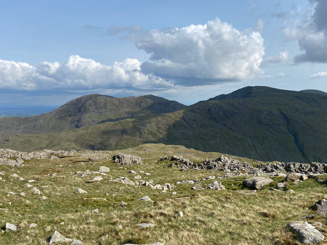
Rossett Pike & the Langdale Pikes from the large cairn on the Ore Gap path
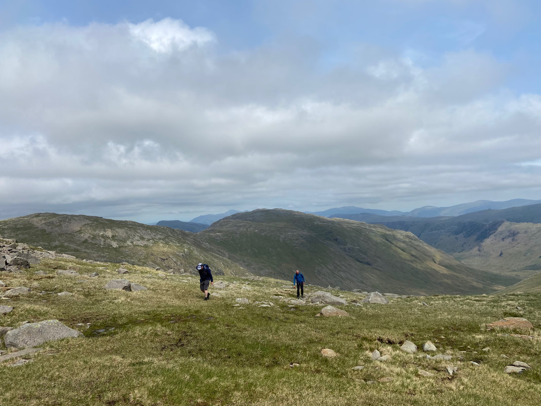
Malcolm & Peter work off their lunch as we look to Allen Crags & Glaramara from below Ore Gap
The junction of paths at Ore Gap - ahead is the start of the route up to Esk Pike with our way over to Bowfell behind me. Heading to the right is the path we have just ascended from above Angle Tarn.
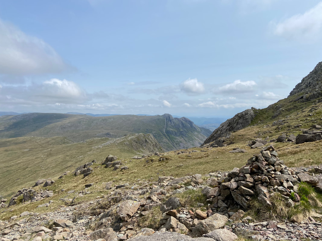
Bowfell from Ore Gap - the path sweeps in from the left
The rocky, bouldery ascent to Bowfell which Poppy makes short work of
Esk Pike & Ore Gap from just below Bowfell with Ill Crag over to the left
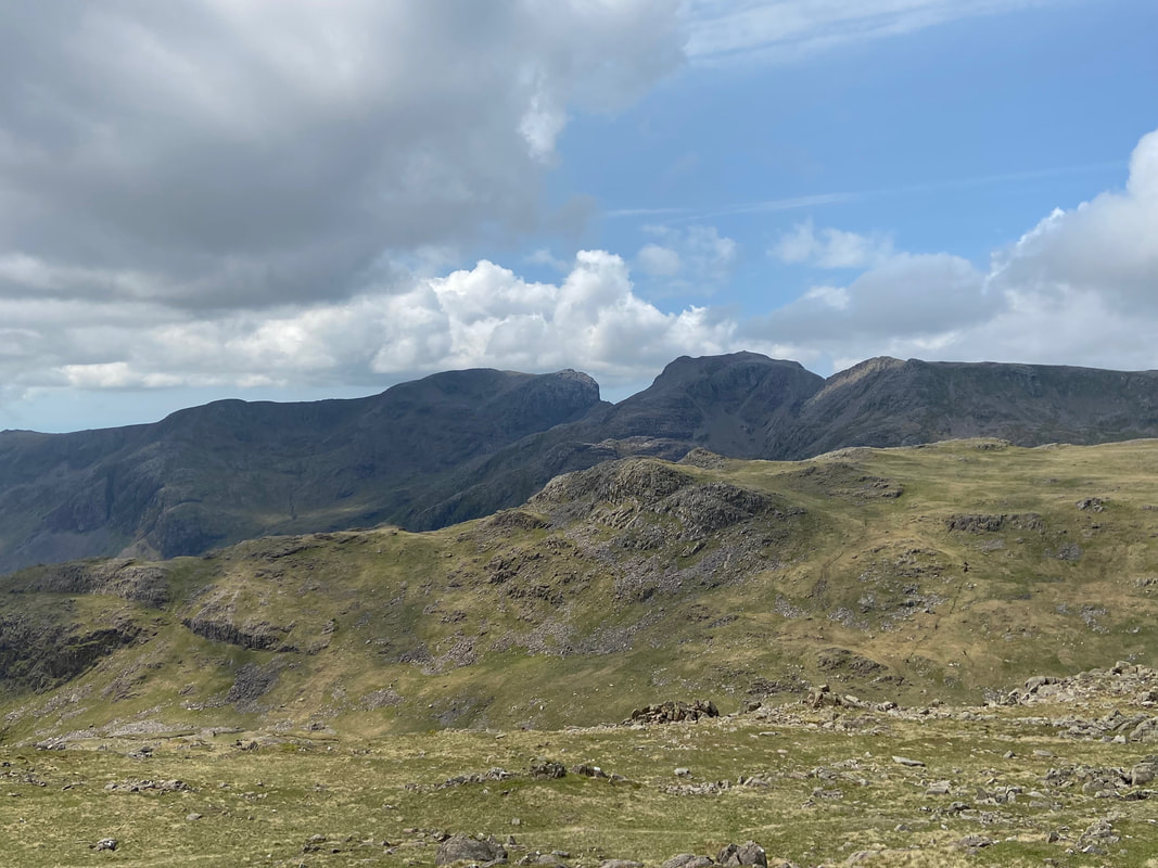
The Scafells from the approach to Bowfell - Scafell is to the left with Mickledore centre & Scafell Pike to the right
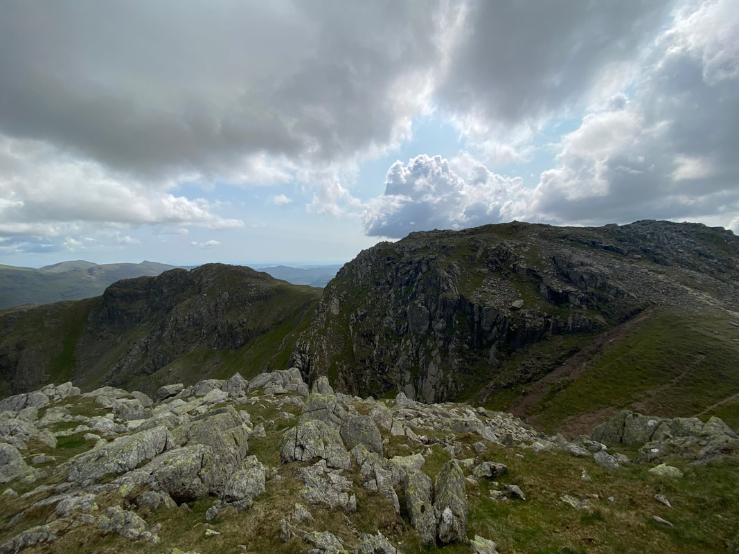
Bowfell North Top & Bowfell Buttress from near the summit
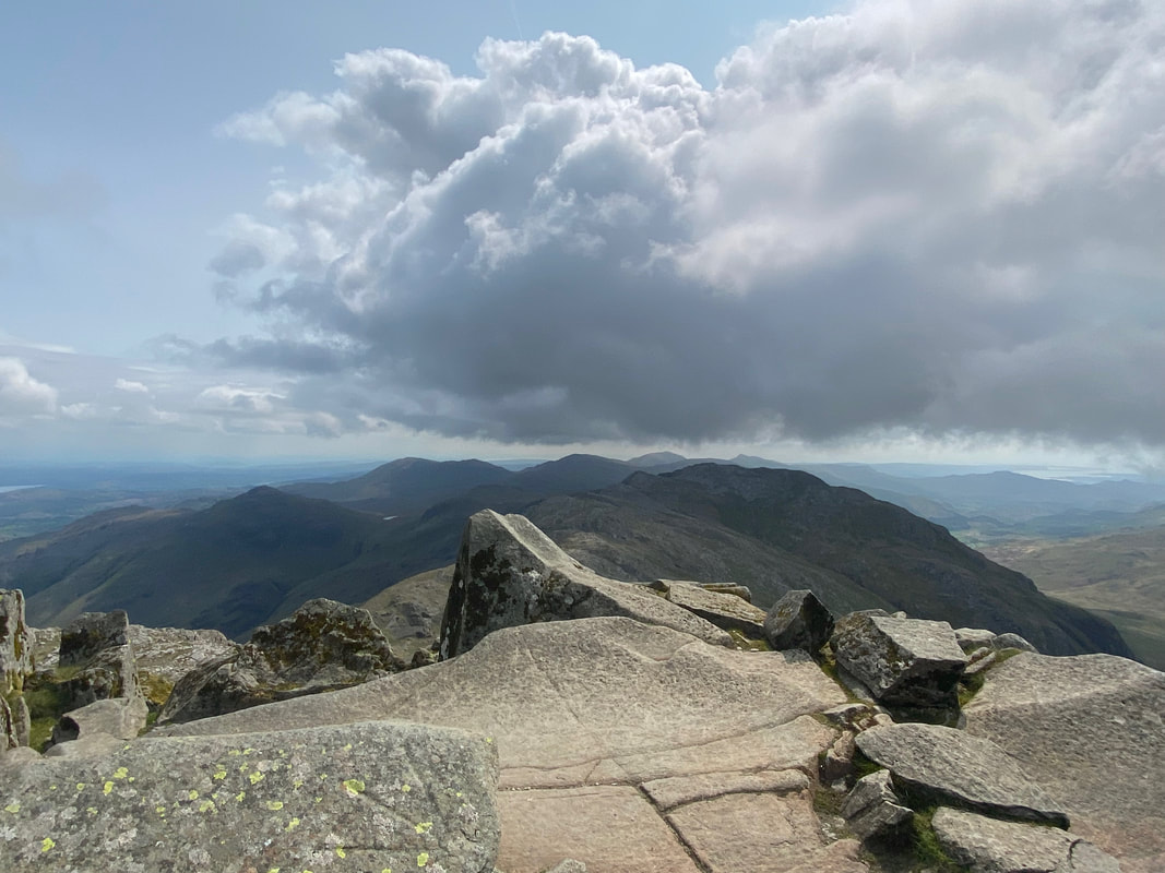
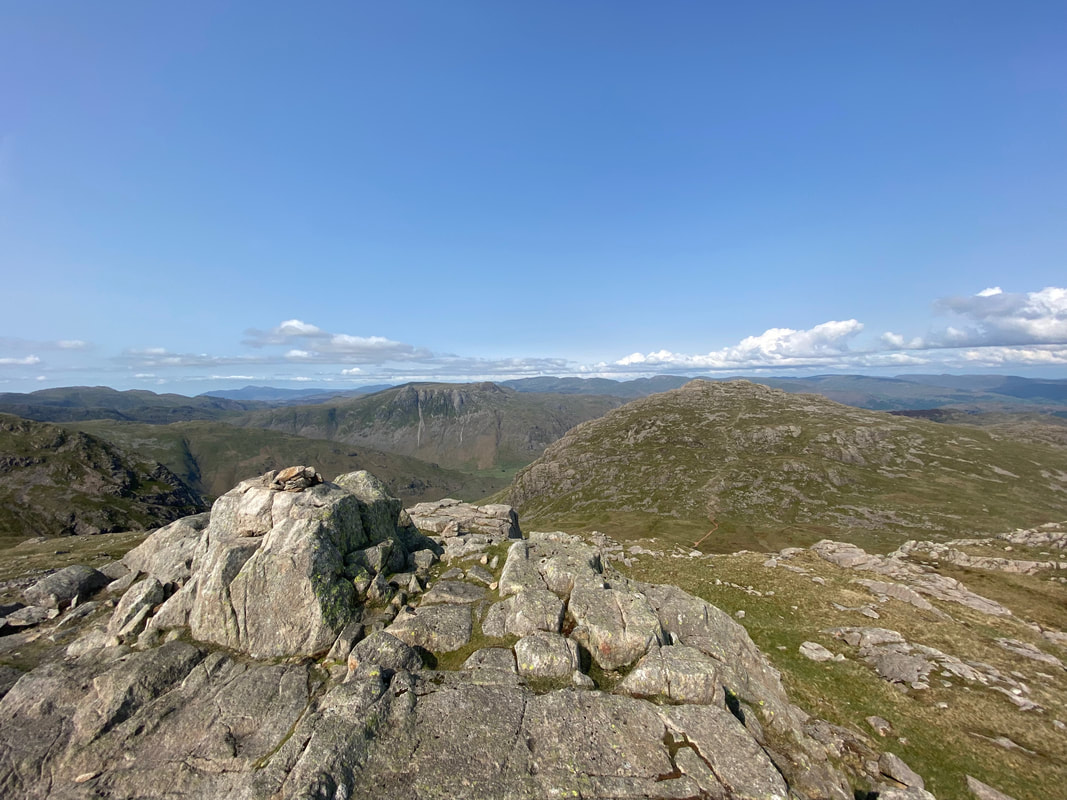
The rib of rock that marks the summit of Bowfell. Pike O'Blisco, the Coniston Fells & Crinkle Crags are to the rear
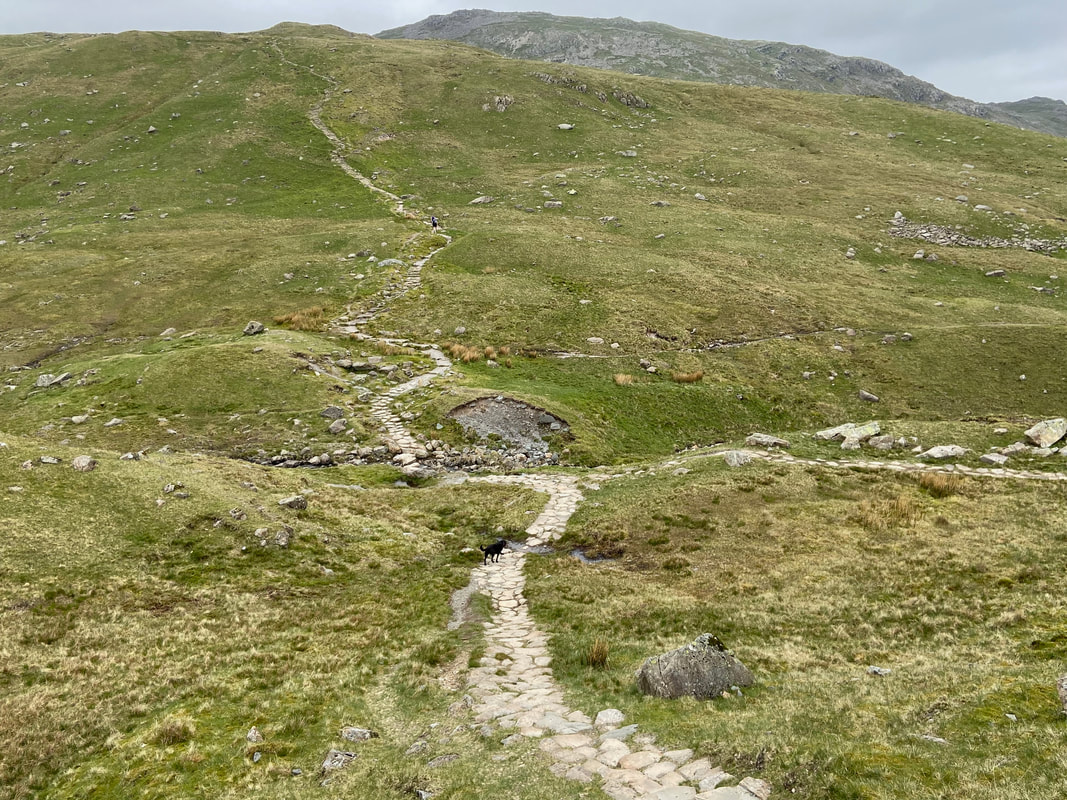
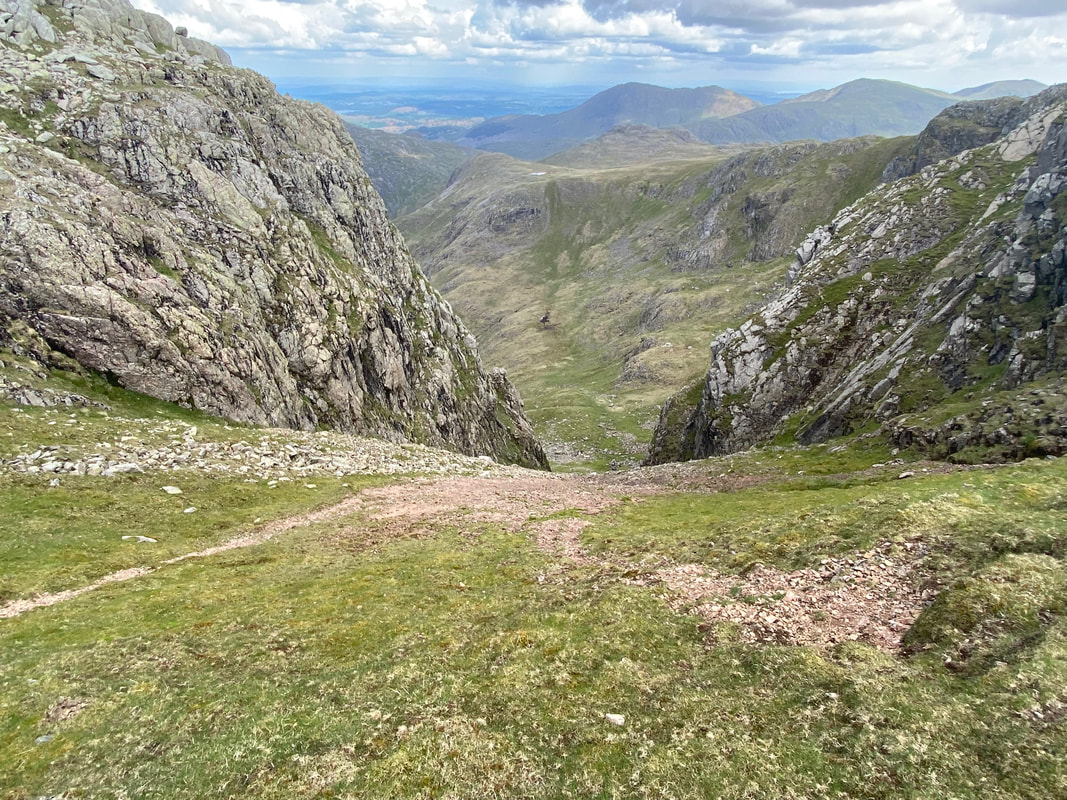
In mist Bowfell can be a very confusing place although today our way down to Three Tarns was very clear. We would be heading over to the left to join the path.
Looking down from Bowfell's summit to the path to Three Tarns with walkers making their way up - the top of Great Slab on Flat Crags comes into view over to the right.
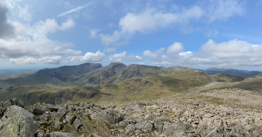
A panorama over to the Scafells from Bowfell
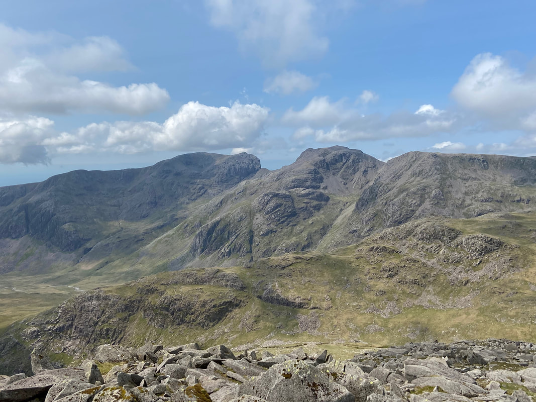
I never get tired of this view from Bowfell over to the Scafells & Mickledore. Great Moss & Cam Spout are over to the left, Pen centre & Little Narrowcove is centre right.
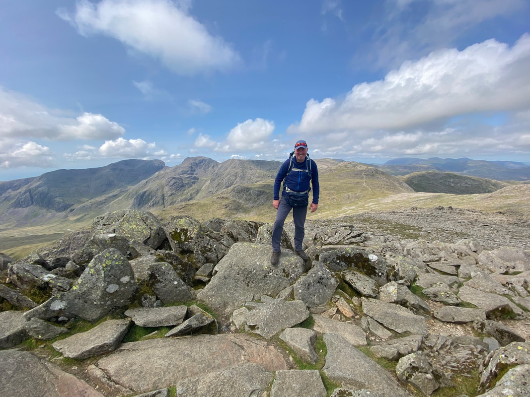
The author on the summit of Bowfell
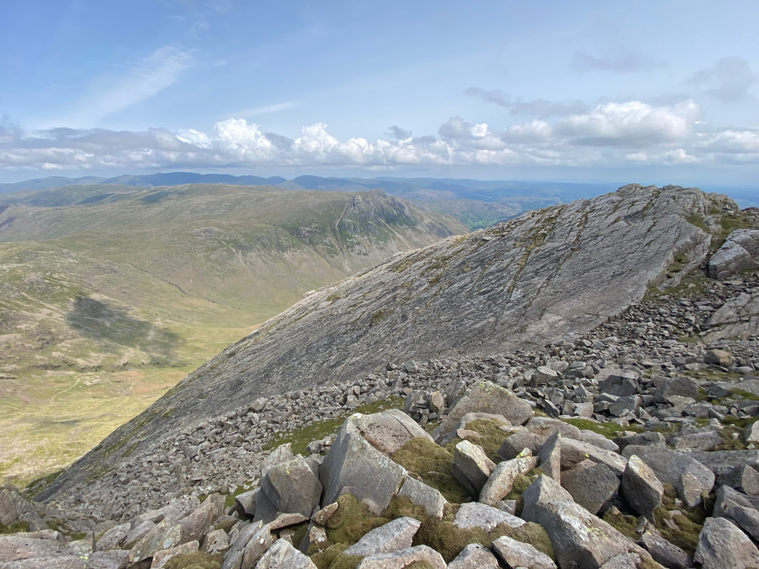
Great Slab - it is my guess that most people coming up from or going down to Three Tarns don't give it a second glance.
Looking down from Great Slab over to Bowfell Buttress. There is a path up the side of Great Slab which is used when climbing Bowfell from Langdale using the Climber's Traverse Route. A walk report taking in this excellent route can be found here
Panorama of Bowfell and the top of Great Slab
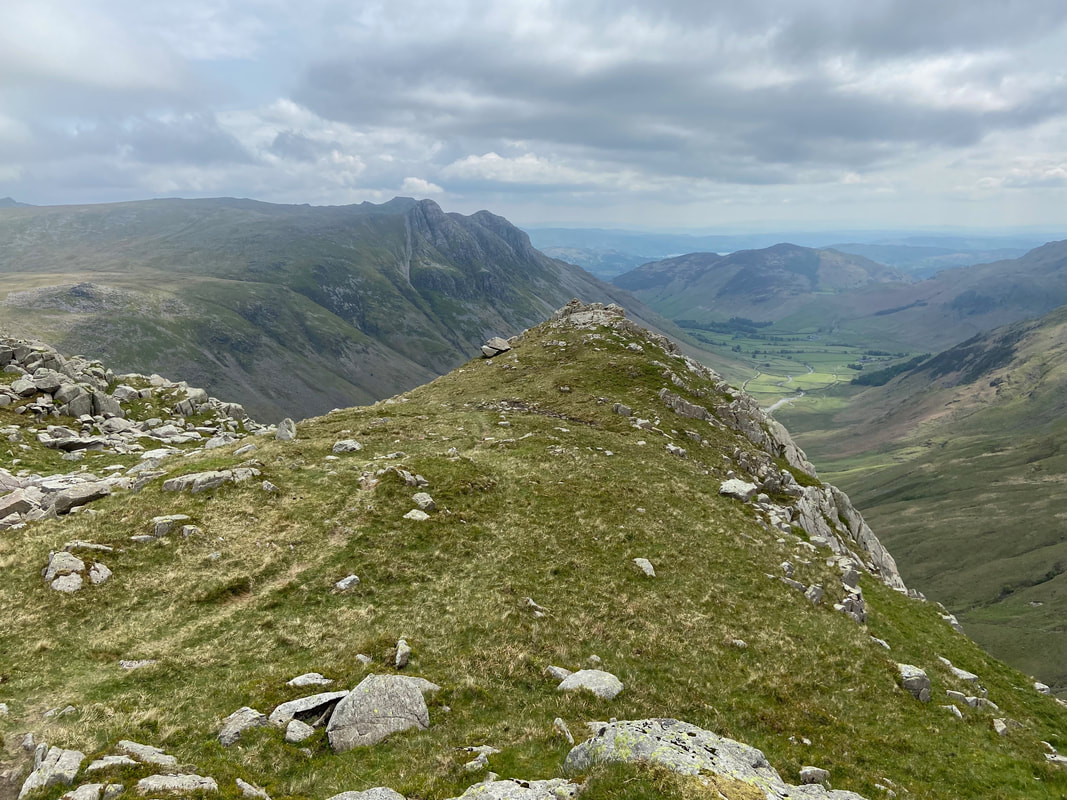
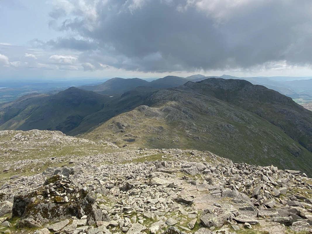
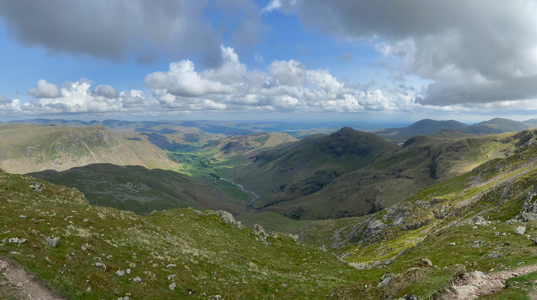
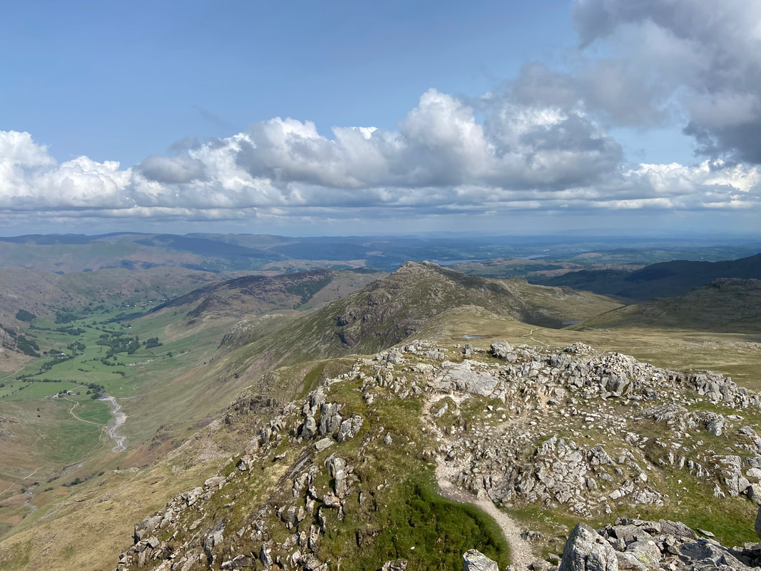
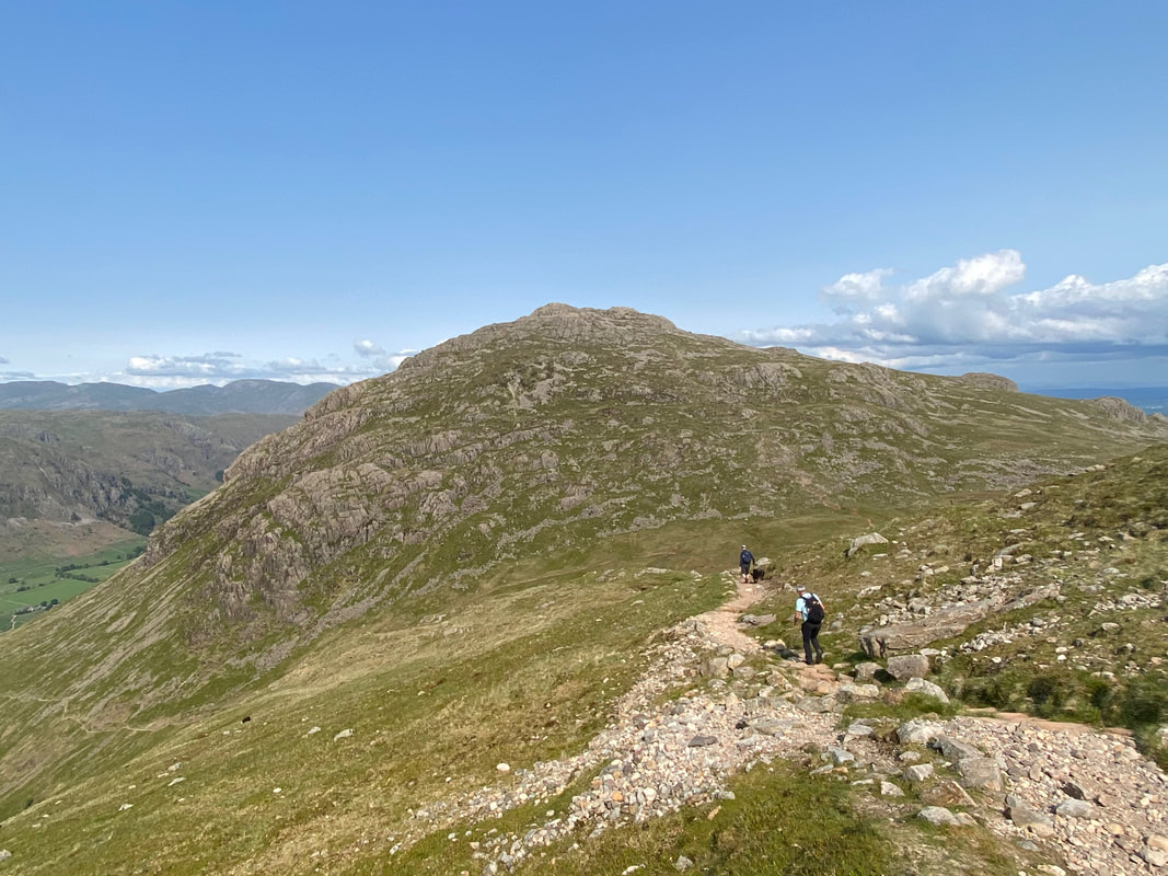
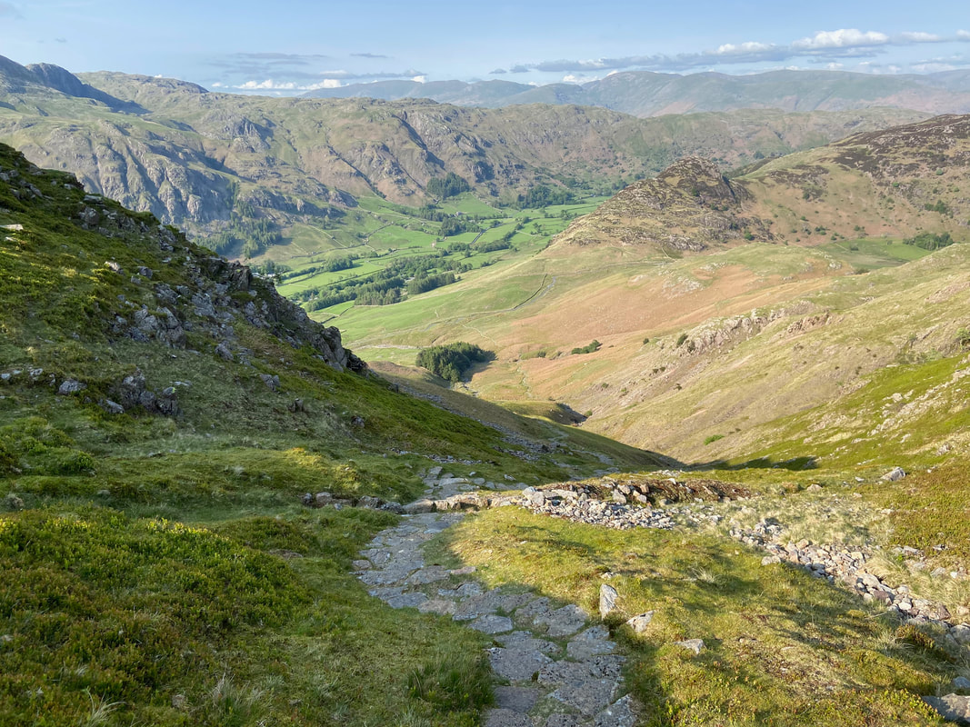
Three Tarns below us now as we descend from Bowfell with the onward route to Crinkle Crags ahead. The path coming in from the left is the one from Langdale via The Band.
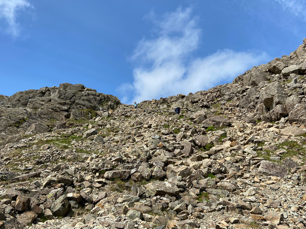
Looking up at our descent from Bowfell - the path is steep & rocky therefore care needs to be taken
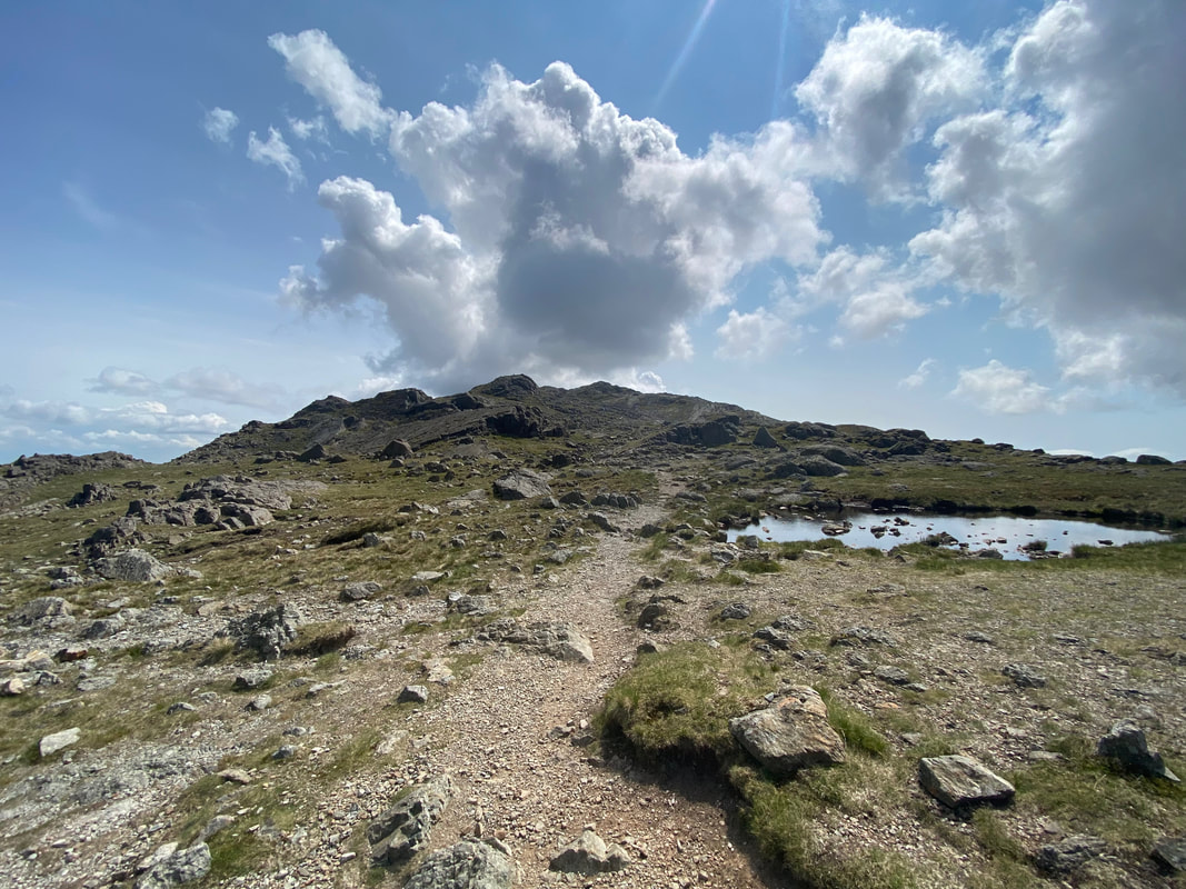
Three Tarns - the other two are over to the right

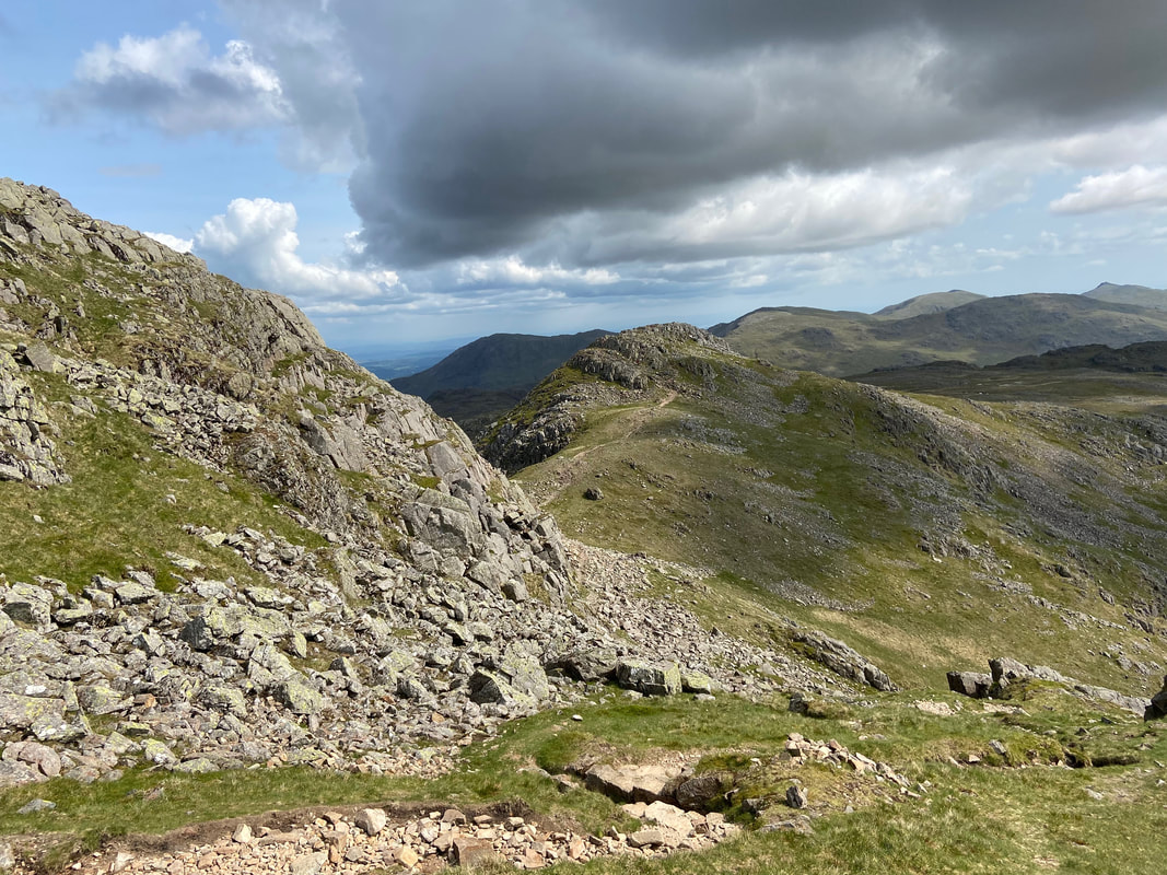
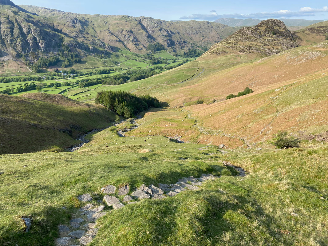
Bowfell Links with our descent path over to the right
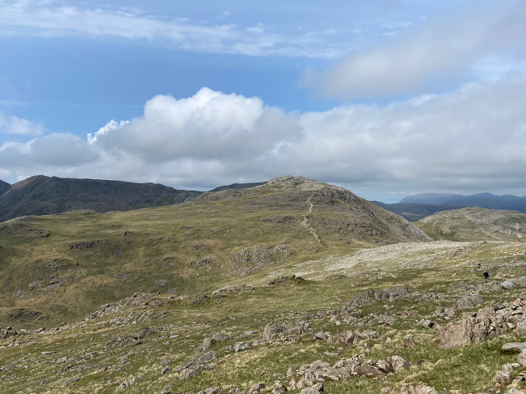
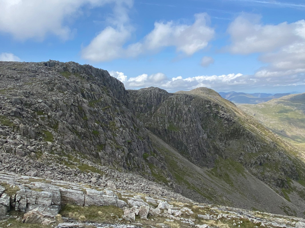
With Shelter Crags behind us to the right, we made our way over to the First (or Fifth) Crinkle
Langdale from Crinkle Crags
Heading for the First (or Fifth) Crinkle
The summit of the First Crinkle looking into Langdale
The Scafells from the route to the Second (or Fourth) Crinkle
The summit of the Second Crinkle looking to Bowfell
The short hop over to the Third Crinkle from the summit of the Second
The summit of Crinkle Number 3
The final two Crinkles taken from the summit of the Third
The scree slope ascent/descent of Mickle Door
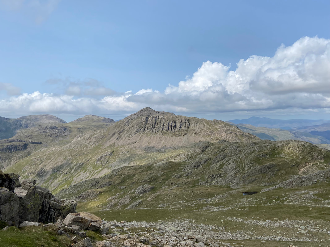
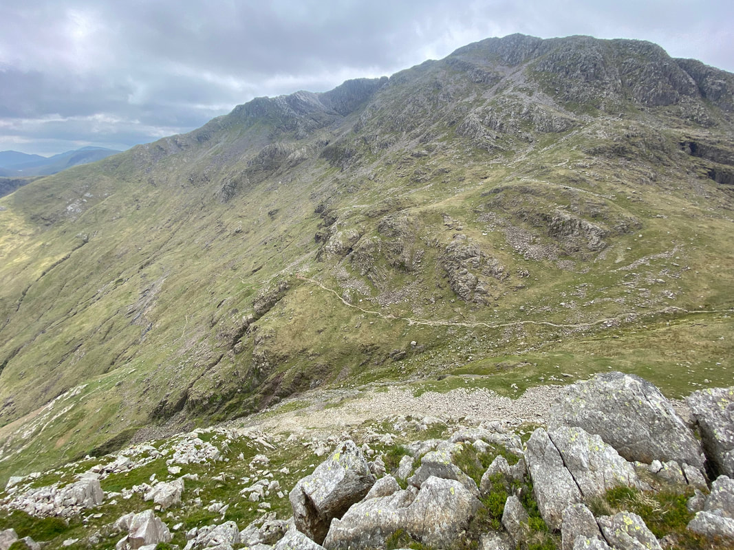
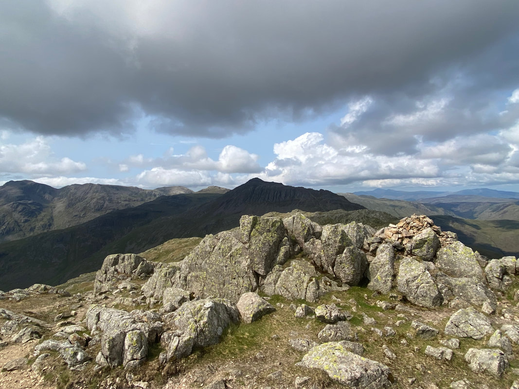
Bowfell & Shelter Crags
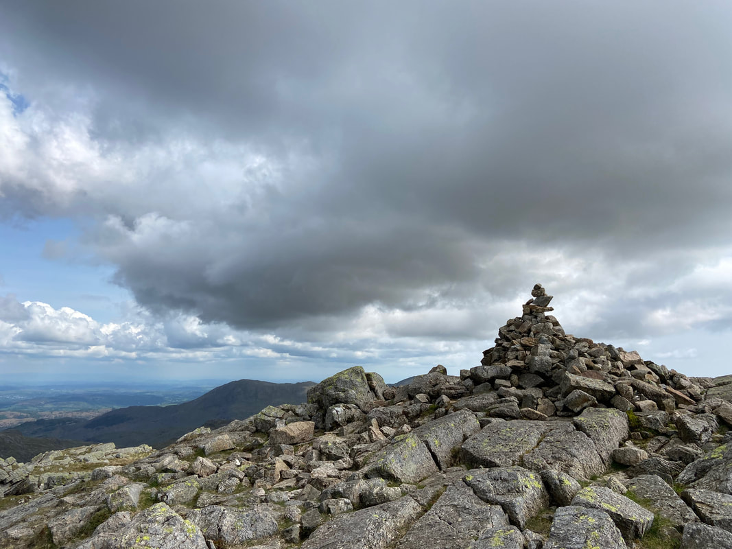
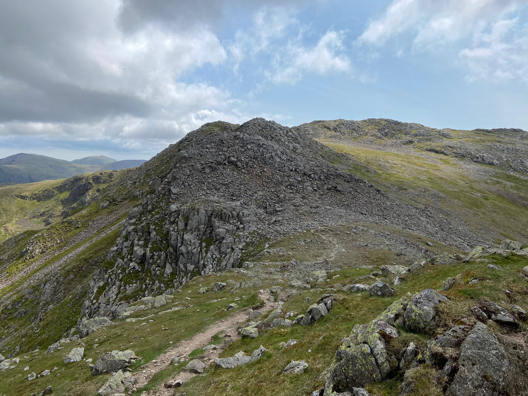
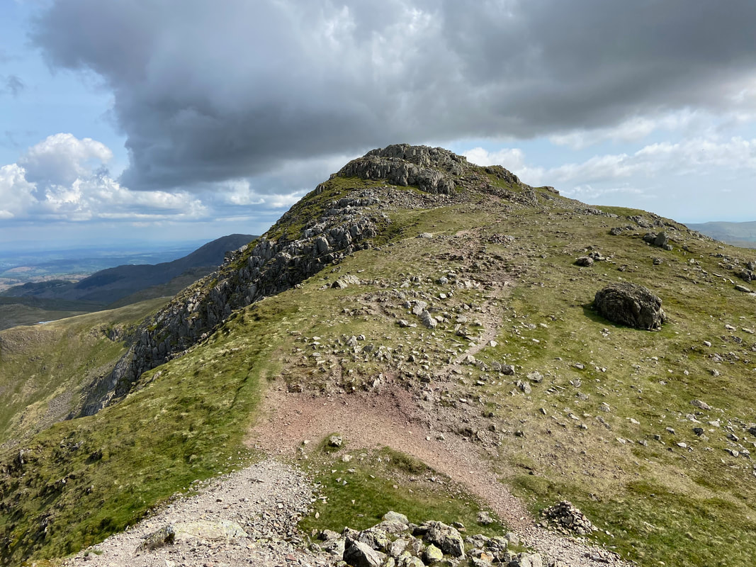
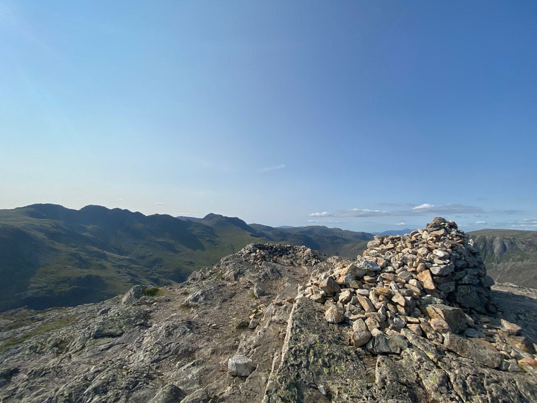
Long Top which is the actual summit of Crinkle Crags and is the Fourth (or Second) Crinkle
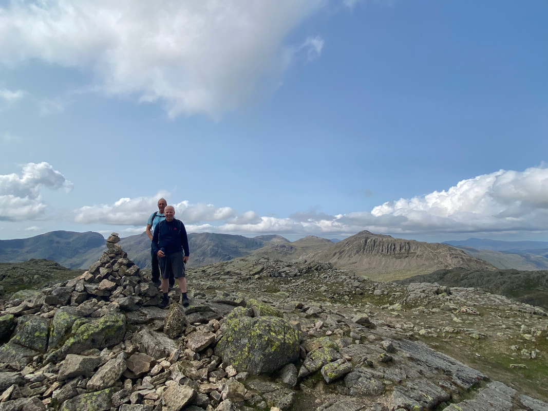
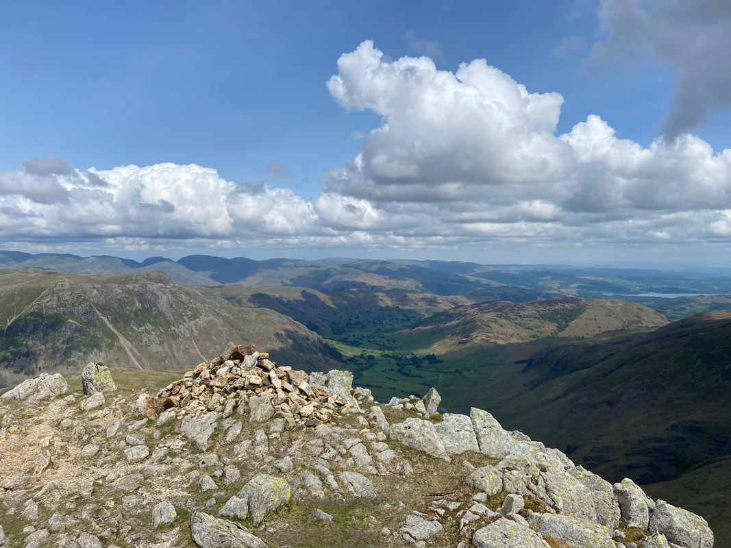
Peter & Malcolm on the summit of Crinkle Crags
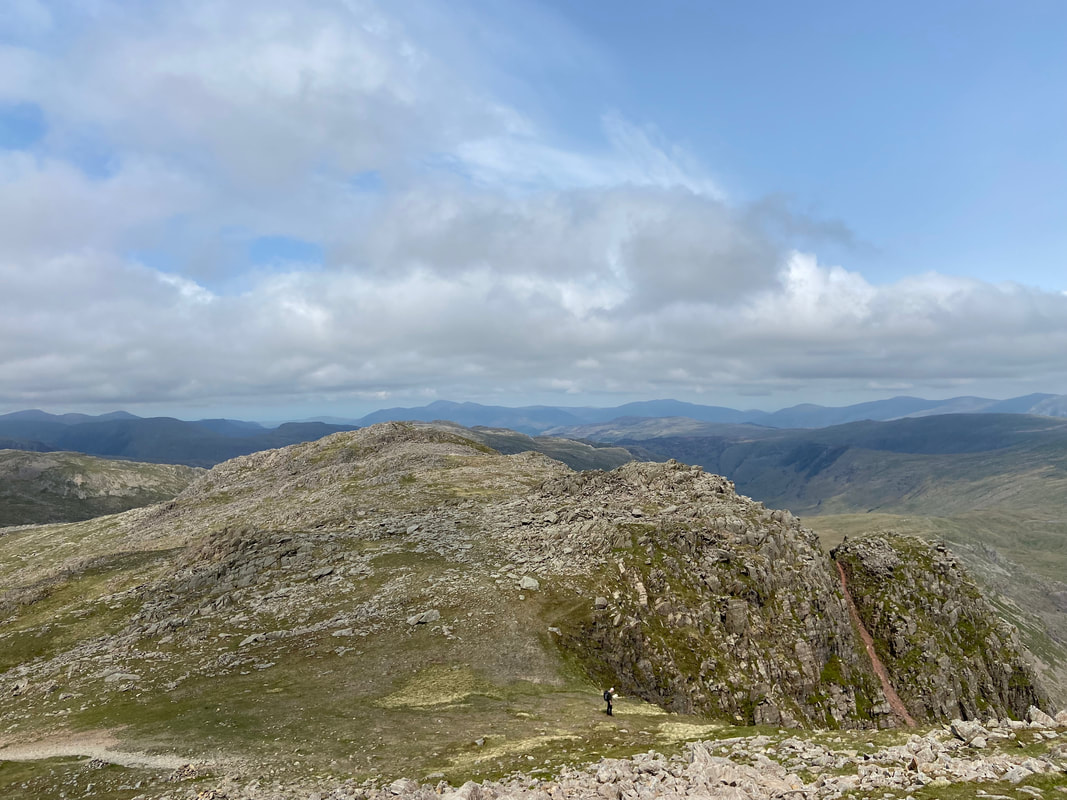
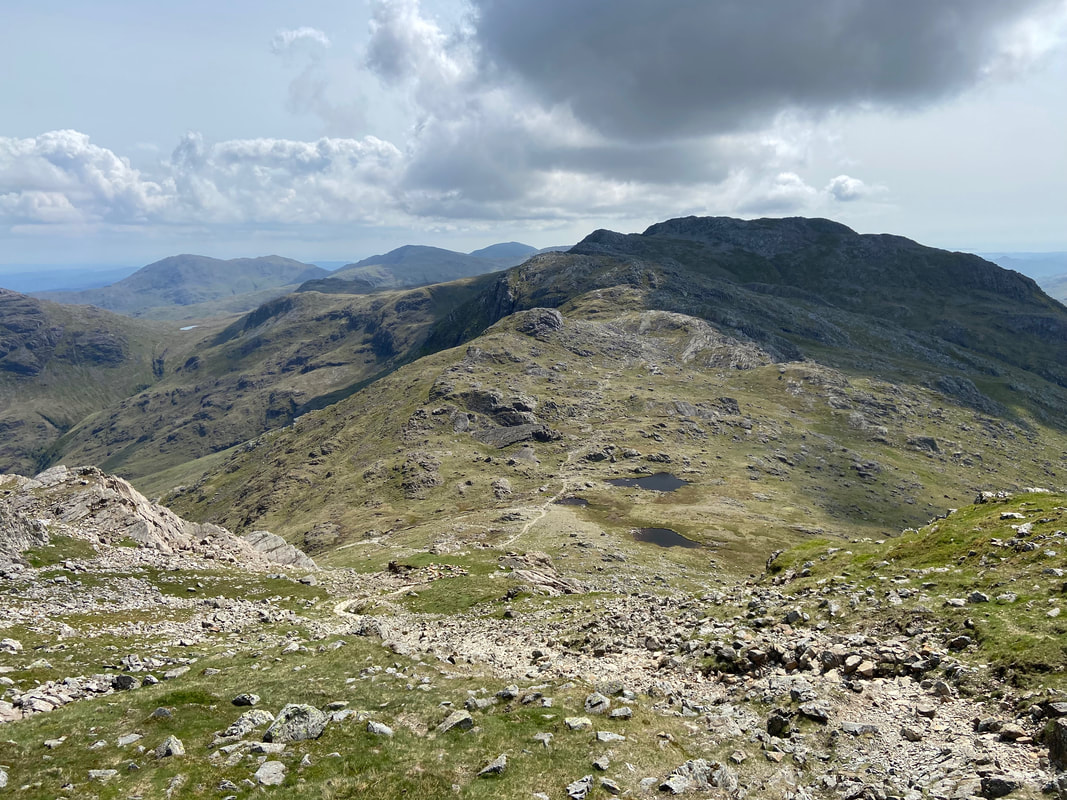
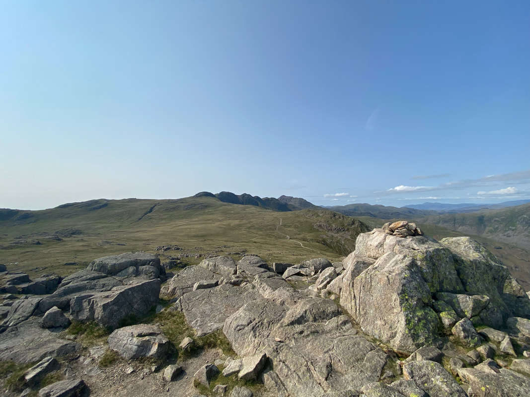
Looking to the First (or Fifth) Crinkle. This shot is taken from the side path that runs to the west of Long Top and is the usual route for walkers that want to avoid ascending/descending via the Bad Step.
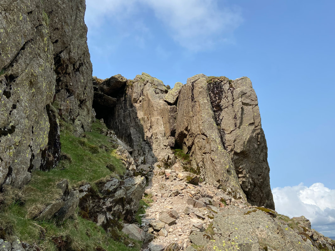
At the foot of the Bad Step - we gave coming down it a miss today as we had Poppy with us. It is a better ascent than descent and is not as "Bad" as people make out. As can be seen to the left, two large chock stones block a direct route up the gully although an off path scramble is available to the right of the Bad Step.
The Fifth Crinkle from below the Bad Step

Looking back to Long Top on Crinkle Crags from the ascent of the Fifth Crinkle. The Bad Step is just left of centre and as can be seen, from here there is a rough scramble to be made around the side of the Bad Step to the right.
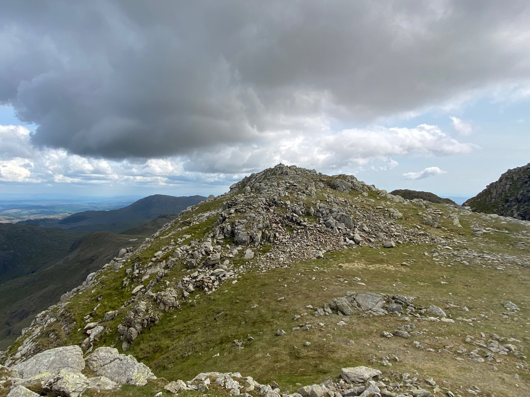
The summit of the Fifth Crinkle
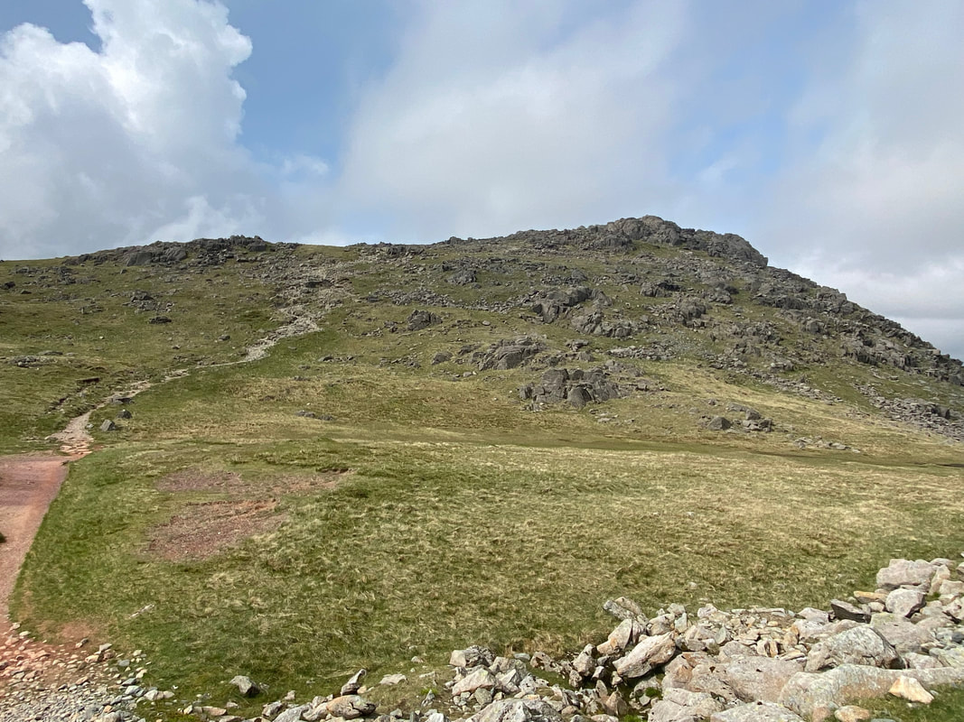
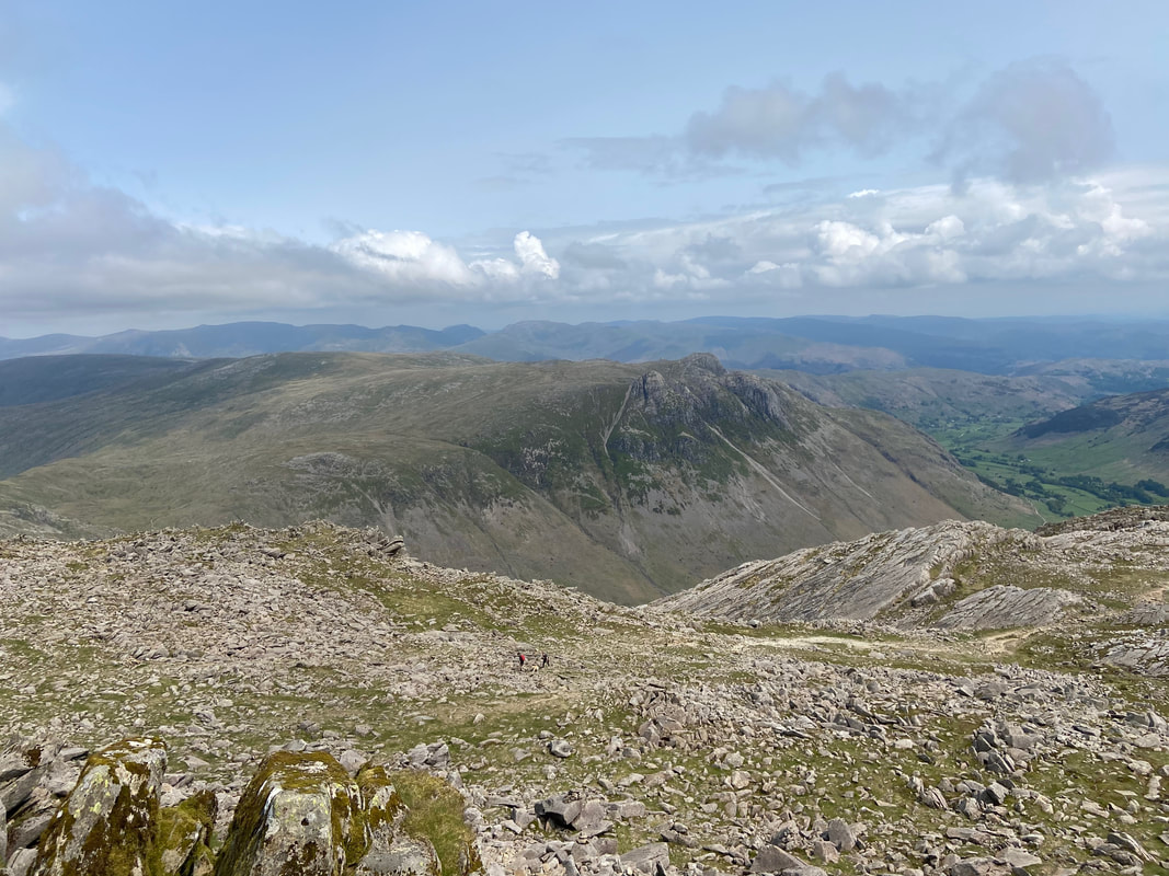
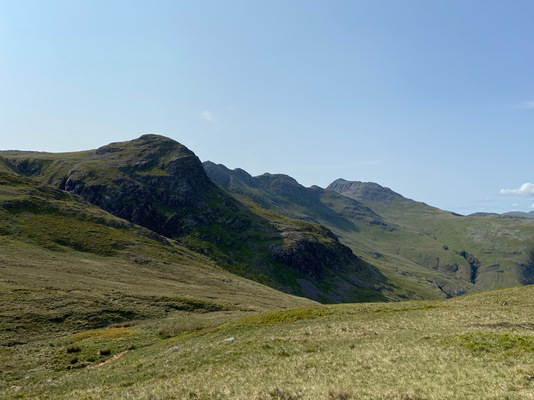
Great Knott with Pike O'Blisco beyond - firstly we were off over to Cold Pike which is to the right
Looking over The Band to the Langdale Pikes with High Raise beyond
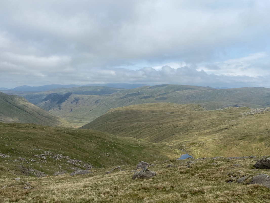
Our route over to Cold Pike from Crinkle Crags. We took the more direct route over today as the visibility was ok and the ground fairly solid. The easiest way to reach Cold Pike in reduced visibility and after prolonged rain is to remain on the main path to Red Tarn & Pike O'Blisco, branching off to the right as the path starts to lose height.
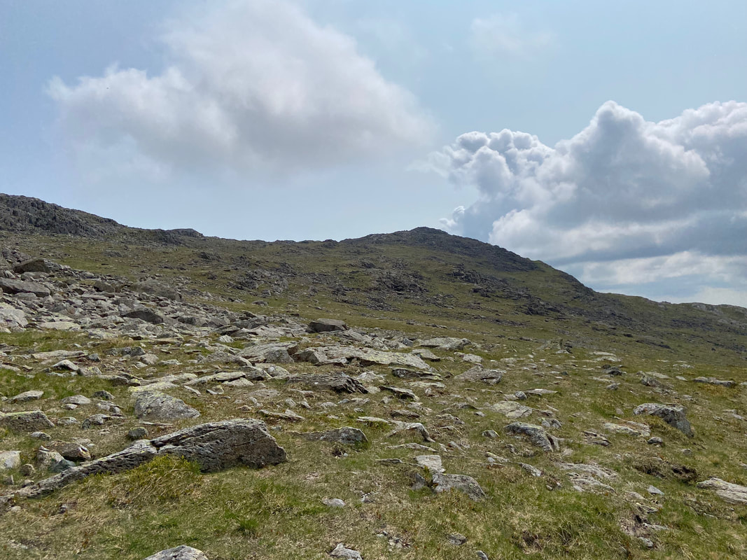
Crinkle Crags from the ascent to Cold Pike
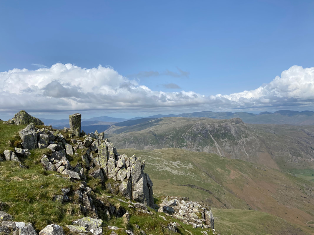
Wetherlam, Black Sails, Swirl How & Great Carrs from Cold Pike
The summit of Cold Pike looking to Pike O'Blisco
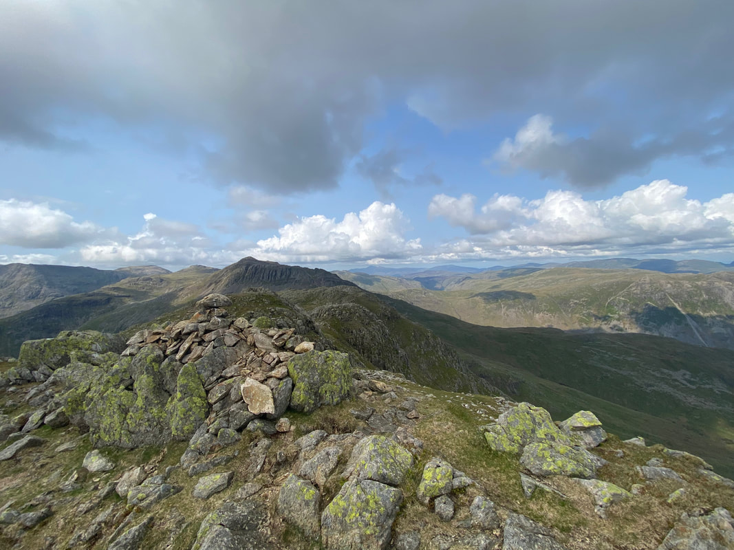
Crinkle Crags from Cold Pike. The path to Red Tarn & Pike O'Blisco can be seen over to the right below Great Knott.
Descending from Cold Pike to join the main path below Great Knott
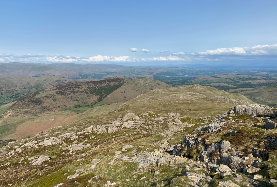
The path descends gradually giving a fantastic view over to Pike O'Blisco
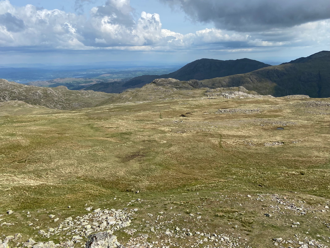
The col between Cold Pike & Pike O'Blisco near Red Tarn. If you wish to leave Pike O'Blisco for another day, a return to Langdale can be made via Brown Howe & Oxendale by taking the path to the left. From here it doesn't look much of a climb to gain the summit however after a long day it does feel like it goes on a bit!!
Great Knott, Crinkle Crags & Bowfell from the climb to Pike O'Blisco
The Coniston Fells of Wetherlam, Swirl How, Great Carrs & Grey Friar from the ascent
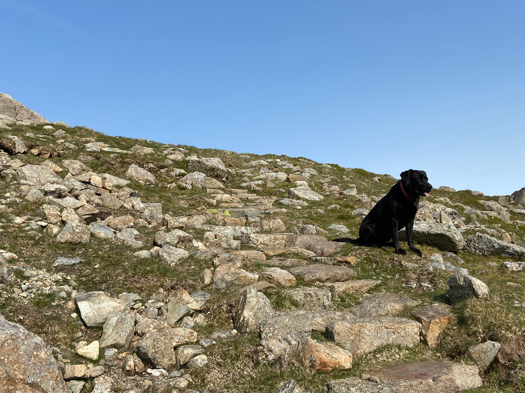
Poppy having a bit of a breather on the ascent Pike O'Blisco
The summit of Pike O'Blisco
Descending Pike O'Blisco back to Langdale - the work isn't over here as the initial part of the descent is tricky with a couple of steep, loose sections to negotiate
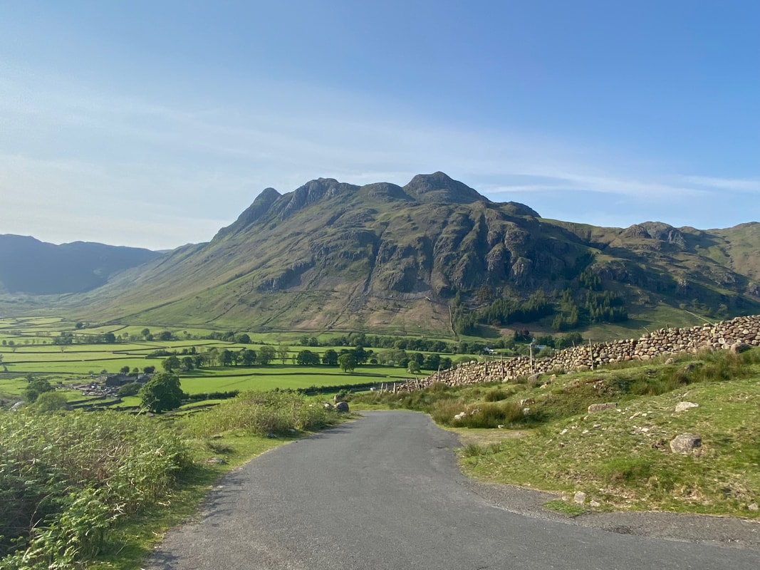
The Langdale Pikes over Mickleden
The latter part of the descent is via a well maintained pitched path - when this path is wet it can be tricky
Almost down now - soon be beer o'clock
The route reaches the tarmac road coming out of Langdale - this descends steeply and levels out at Wall End Farm
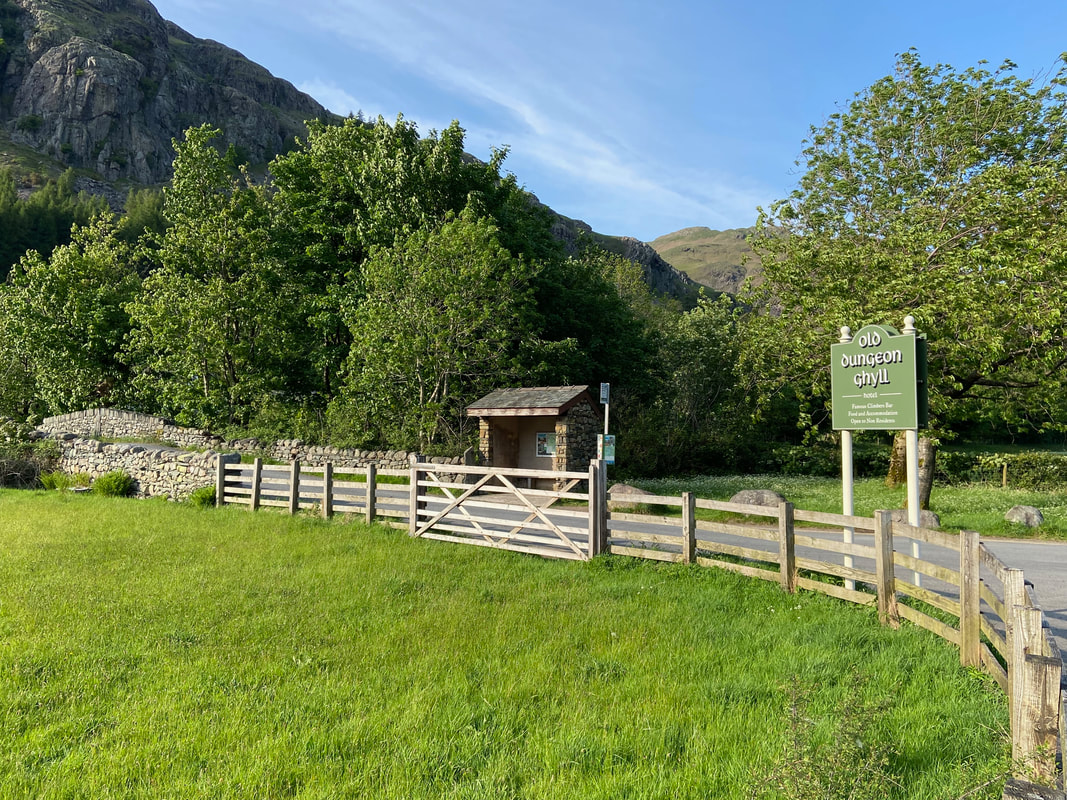
Safely back at the ODG and time for Dinner & a couple of Beers with Peter & Malcolm after another absolutely cracking day on the fells