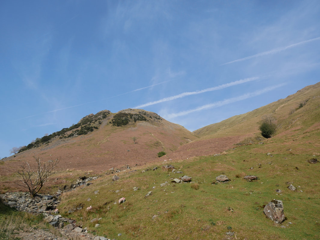
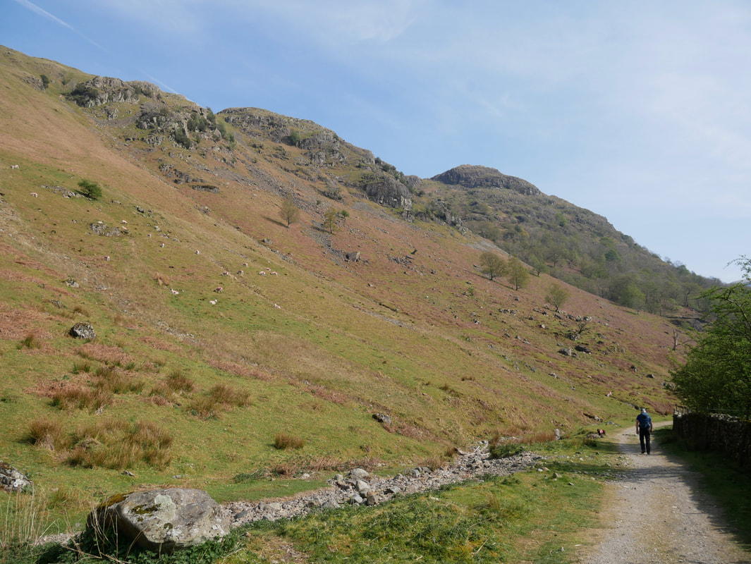
Brock Crags, The Nab, Rest Dodd & Angletarn Pikes - Sunday 21 April 2019
Route
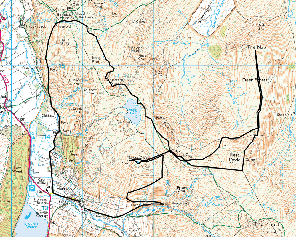
Hartsop - Filter House - Brock Crags - Satura Crag - The Nab - Rest Dodd - Satura Crag - Buck Crag - Angle Tarn - Angletarn Pikes (South Top) - Angletarn Pikes (North Top) - Boredale Hause - Dubhow - Hartsop
Parking
Hartsop (Donation in box by the gate) - Grid Ref NY41001301 (nearest postcode is CA11 0NZ)
Mileage
10.3 miles
Terrain
Good mountain paths. From below Rest Dodd to The Nab has a reputation for boggy peat hags however the difficulty in crossing them is massively over egged. Keep well over to the right hand side and the crossing is easy enough.
Weather
Sunny, yet hazy in parts with very good visibility.
Time Taken
7hrs
Total Ascent
2824ft (861m)
Wainwrights
4
Map
OL5 - The English Lakes - North Eastern Area
Walkers
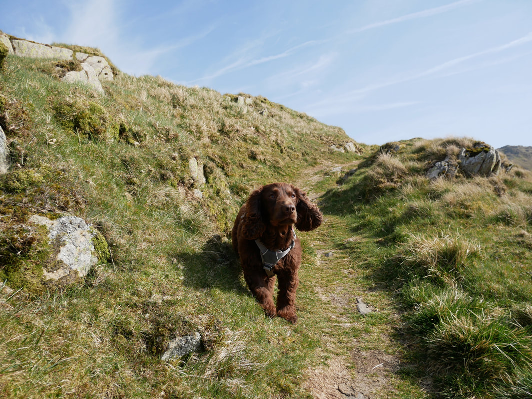
Dave, Angie & Fudge
|
GPX File
|
| ||
If the above GPX file fails to download or presents itself as an XML file once downloaded then please feel free to contact me and I will send you the GPX file via e-mail.
Walk Description
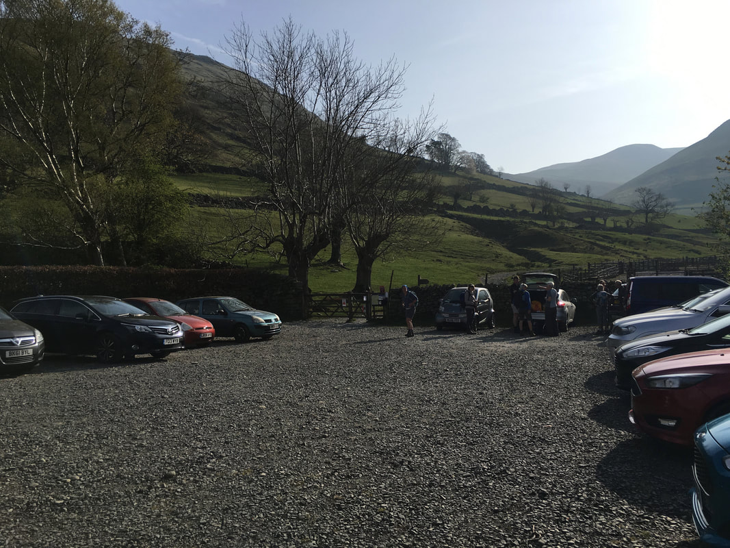
The walk started from the Car Park in Hartsop - we were here pretty early and it was already busy.
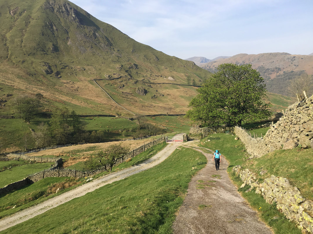
The walk starts by heading through the gate and following the Filter House access road straight ahead - those heading for Hartsop Dodd simply turn right.
The walk starts by heading through the gate and following the Filter House access road straight ahead - those heading for Hartsop Dodd simply turn right.
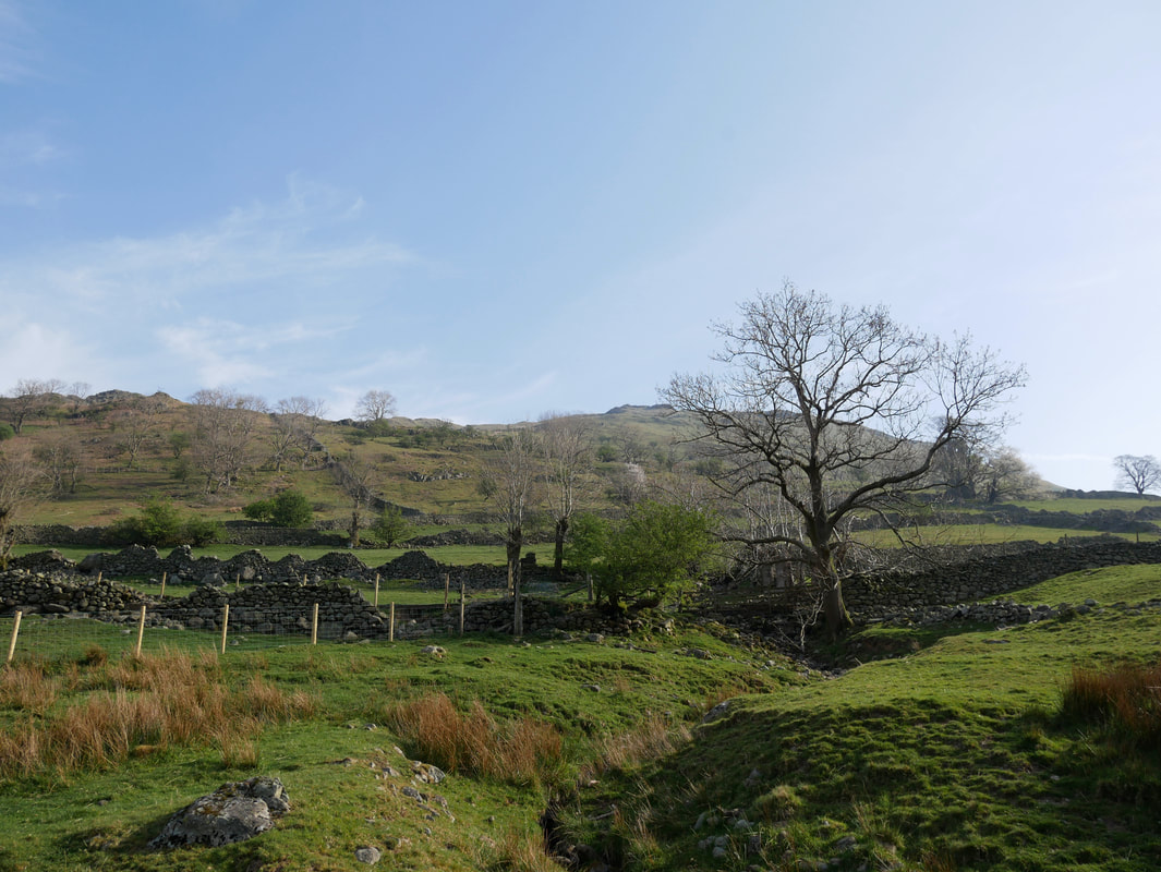
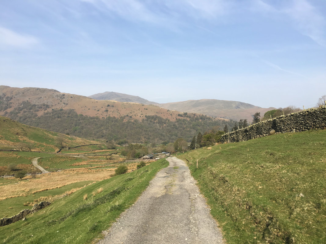
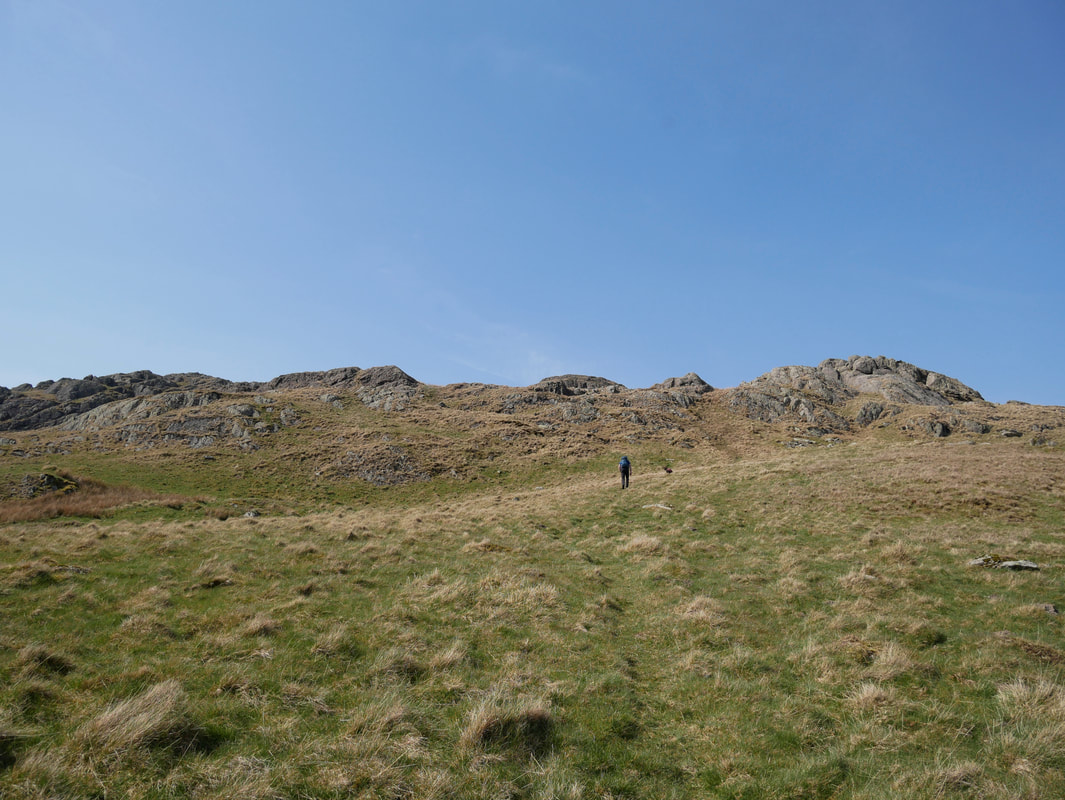
Looking to Brock Crags from the start of the walk.
It would be simple from here to make a direct ascent to the summit but many walled enclosures block the route.
It would be simple from here to make a direct ascent to the summit but many walled enclosures block the route.
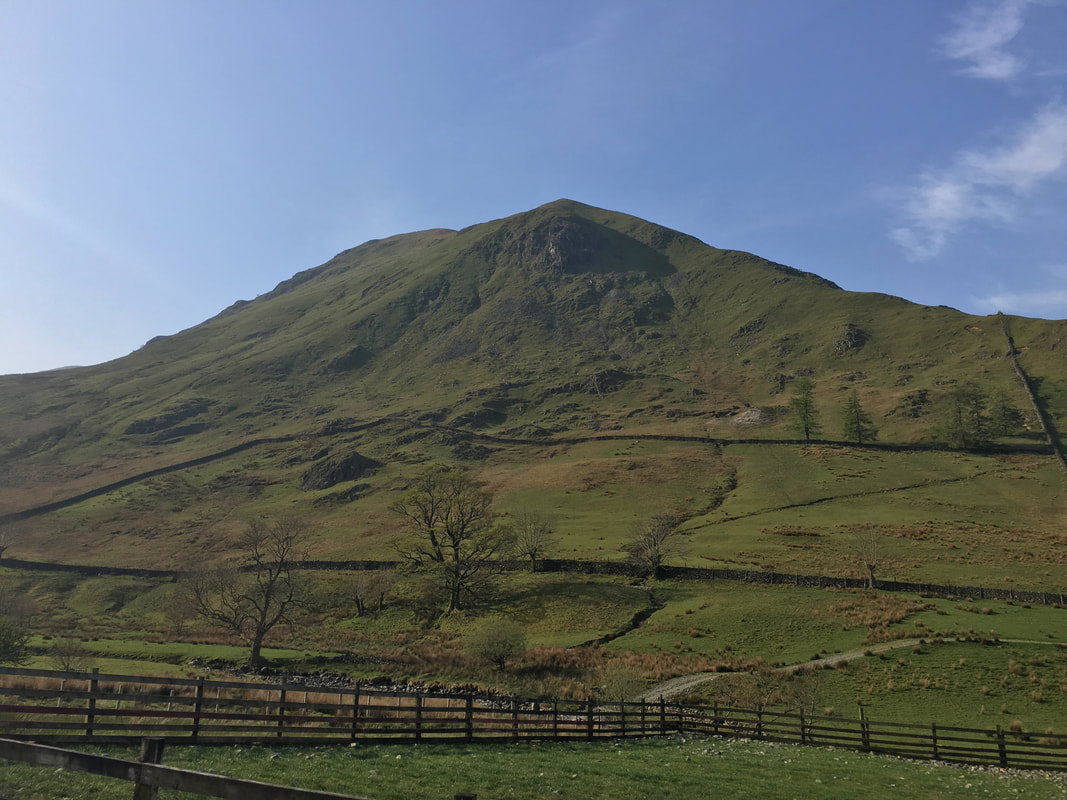
Hartsop Dodd - a cracking ascent in its own right
Looking back to the Car Park from the Filter House access road.
The wooded lower reaches of Hartsop above How dominate the backdrop with St Sunday Crag & Birks further back
The wooded lower reaches of Hartsop above How dominate the backdrop with St Sunday Crag & Birks further back
At a gate the access road splits with the lower path heading for Hayeswater. To reach the Filter House we followed the upper path.
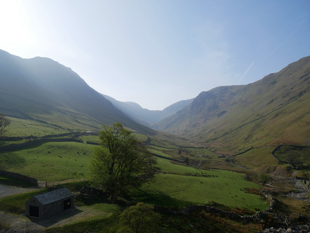
Looking into the sun along Pasture Bottom to Threshthwaite Mouth.
The slopes of Gray Crag are to the left with Hartsop Dodd to the right. Threshthwaite Mouth sits between Thornthwaite Crag on the left with Caudale Moor to the right. The walk through Pasture Bottom is superb from either direction and the ascent/descent to either Thornthwaite Crag or Caudale Moor is highly recommended.
The slopes of Gray Crag are to the left with Hartsop Dodd to the right. Threshthwaite Mouth sits between Thornthwaite Crag on the left with Caudale Moor to the right. The walk through Pasture Bottom is superb from either direction and the ascent/descent to either Thornthwaite Crag or Caudale Moor is highly recommended.
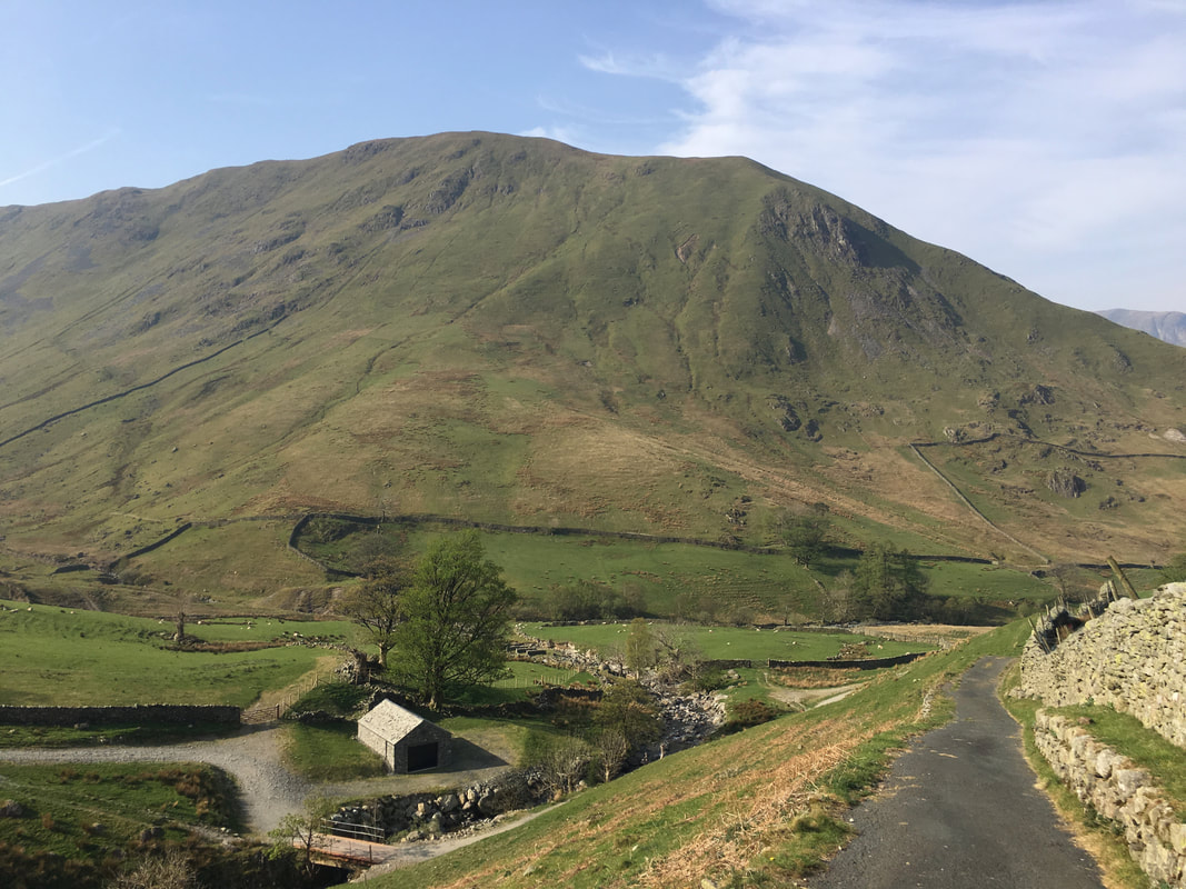
Another view of Hartsop Dodd from near the Filter House
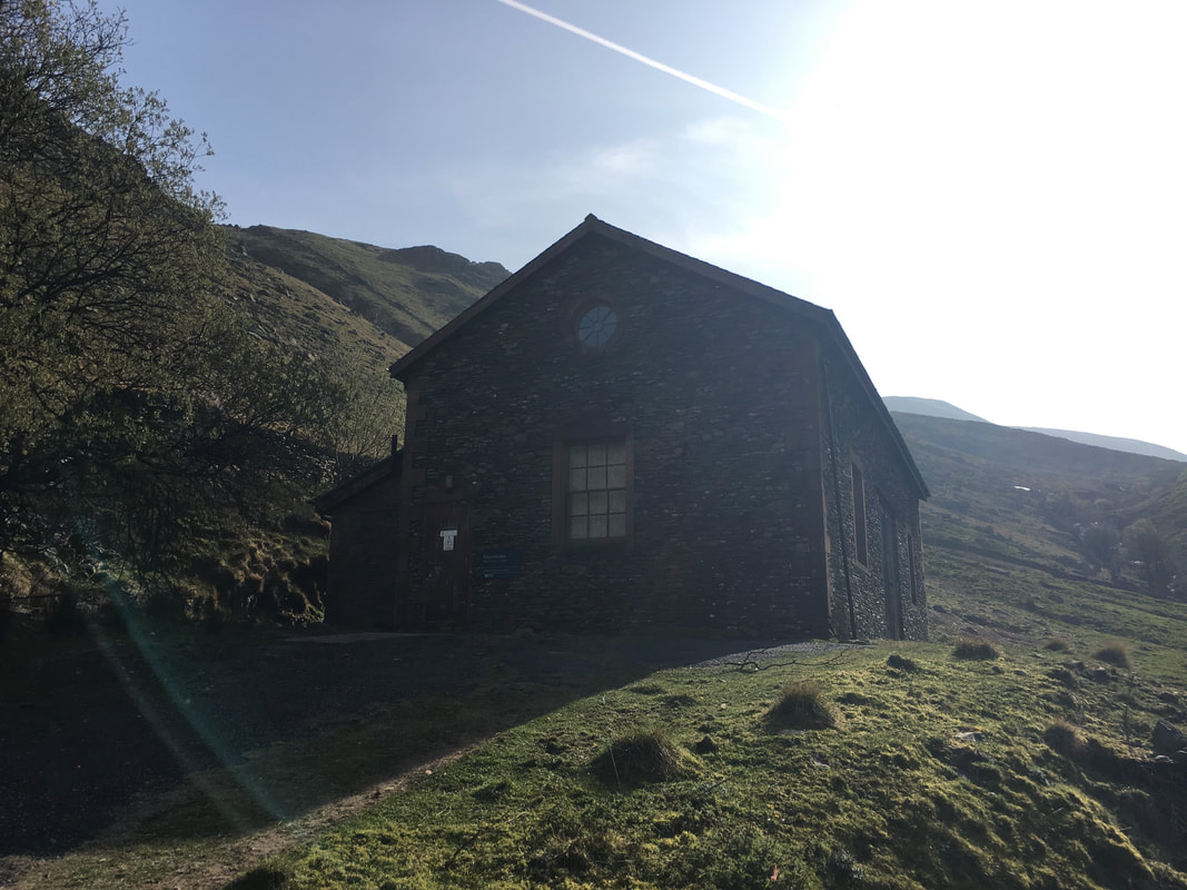
The Hayeswater Filter House
The building housed the equipment used for filtering the water that was abstracted from Hayeswater. The lake stopped being used as a water source in 2005 and the dam was dismantled in 2014 therefore the building is now redundant.
The building housed the equipment used for filtering the water that was abstracted from Hayeswater. The lake stopped being used as a water source in 2005 and the dam was dismantled in 2014 therefore the building is now redundant.
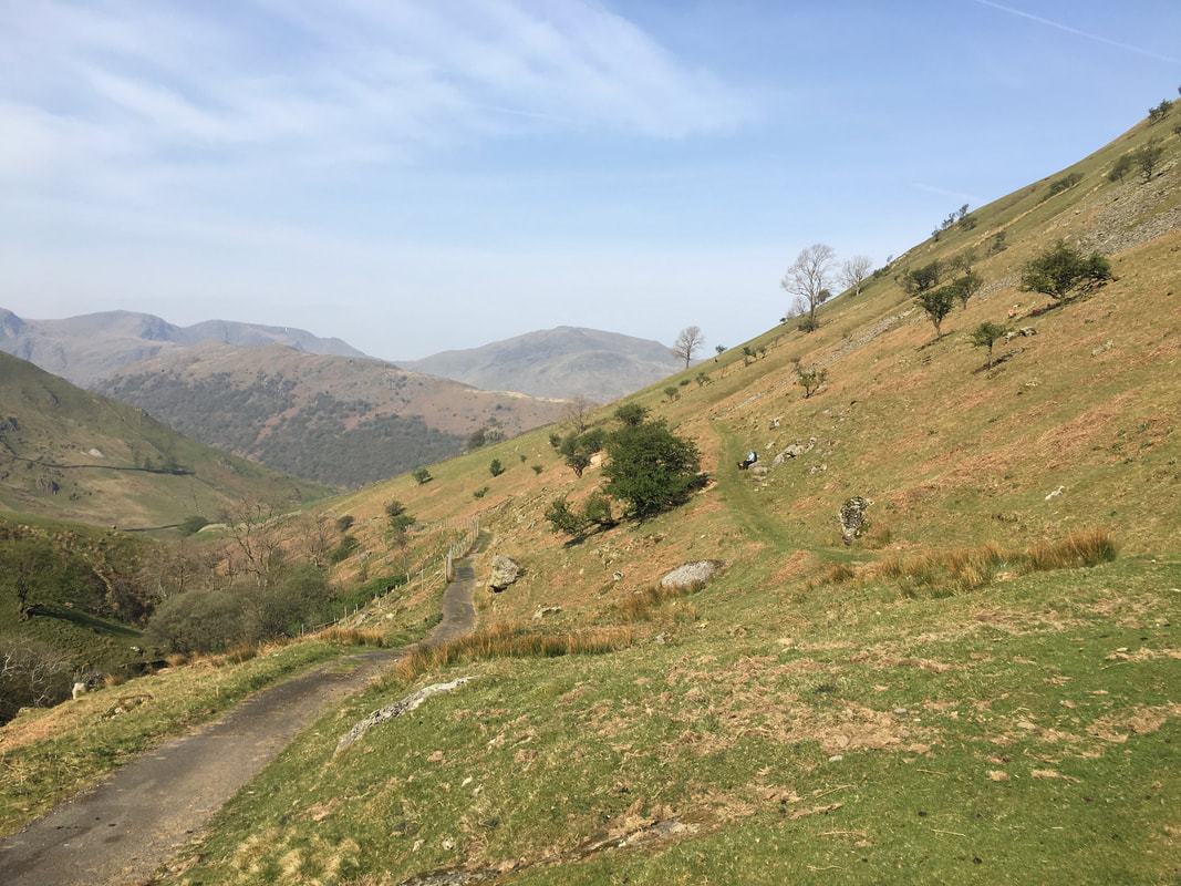
From the Filter House the route switches back on itself to follow the line of the now covered pipeline of Hayeswater Aquedect.
Wainwright said of the Aqueduct on the slopes of Brock Crags "the pipe laying operations there in the 1950s left an ugly scar along its fair breast. Nature is a great healer and it has healed effectively here" (Brock Crags 1).
Wainwright said of the Aqueduct on the slopes of Brock Crags "the pipe laying operations there in the 1950s left an ugly scar along its fair breast. Nature is a great healer and it has healed effectively here" (Brock Crags 1).
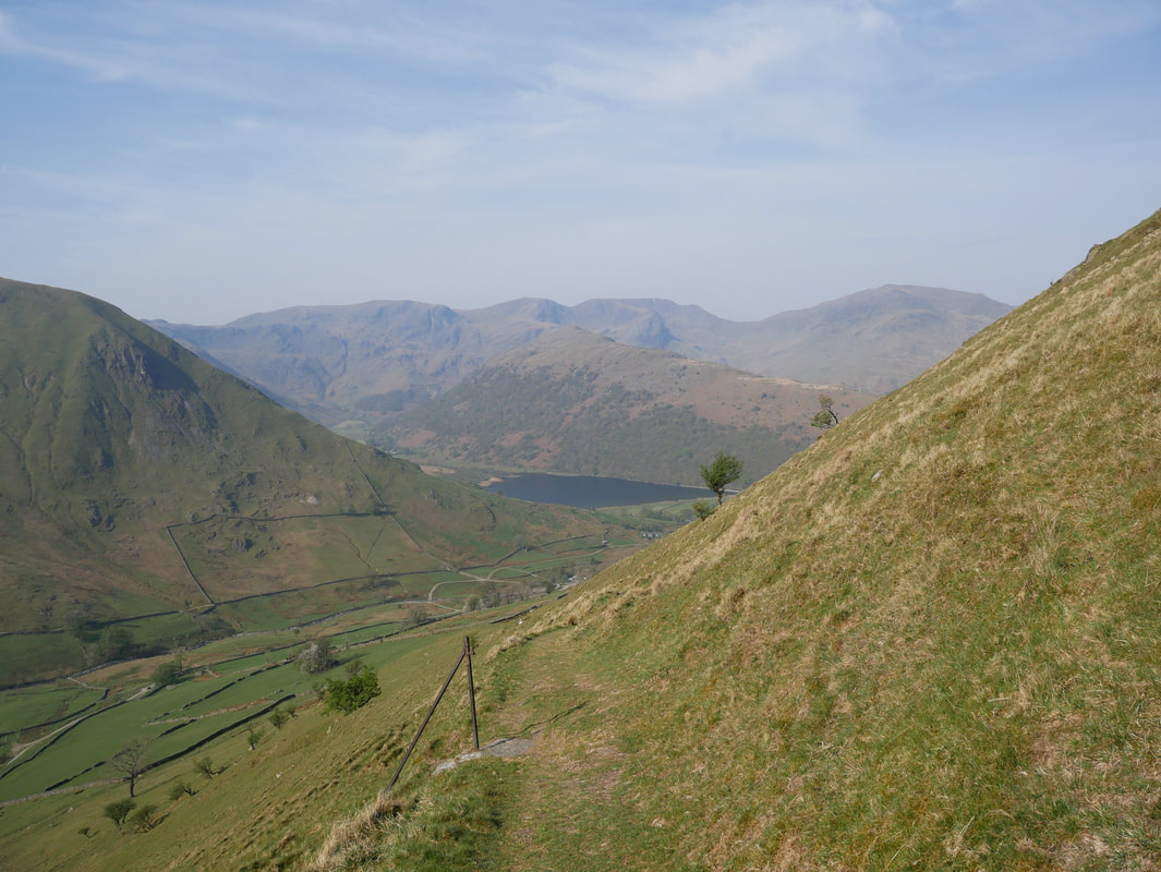
As we make our way along the line of the Aqueduct, Brothers Water comes into view
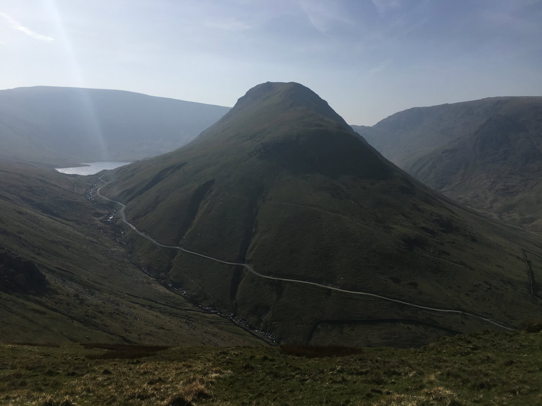
Gray Crag with the access track to Hayeswater clearly visible. The ascent of Gray Crag via the nose as shown here is not for the faint hearted!
The path switches back once more to climb north east towards Brock Crags. Fudge is reminding us that he hasn't eaten for a whole 5 minutes.
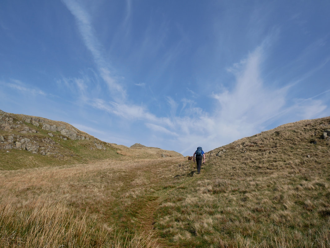
After a short climb the gradient levels out to reach the ridge line
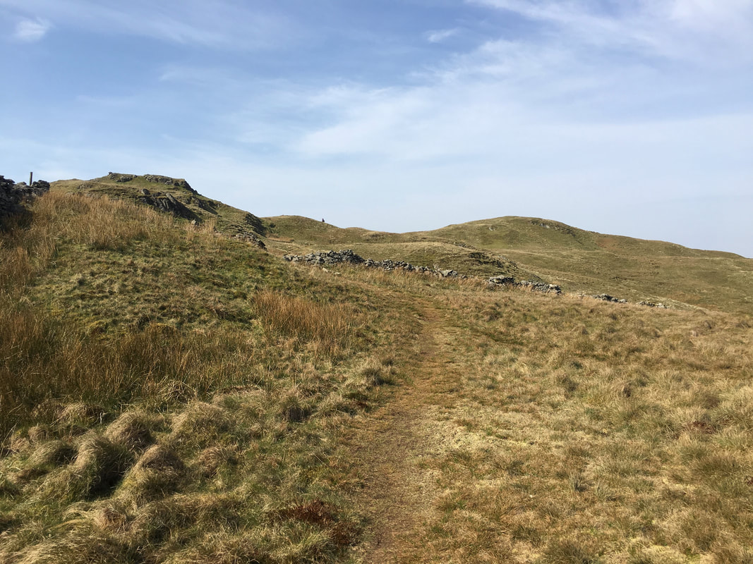
After passing through a wall gap the route turns left to climb again gently towards Brock Crags
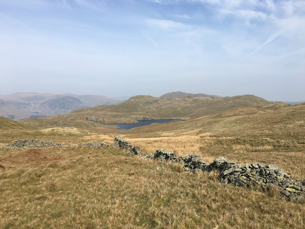
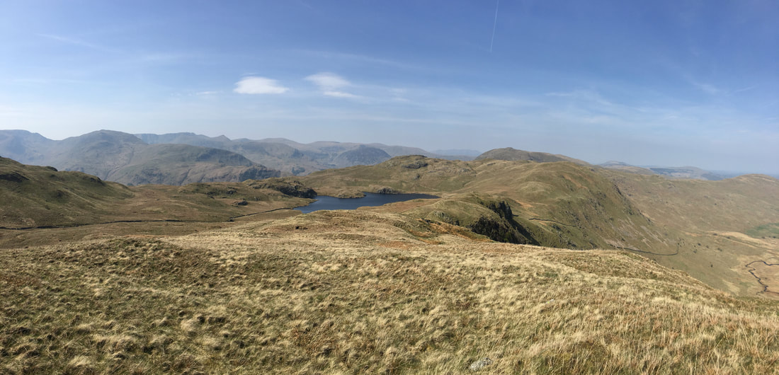
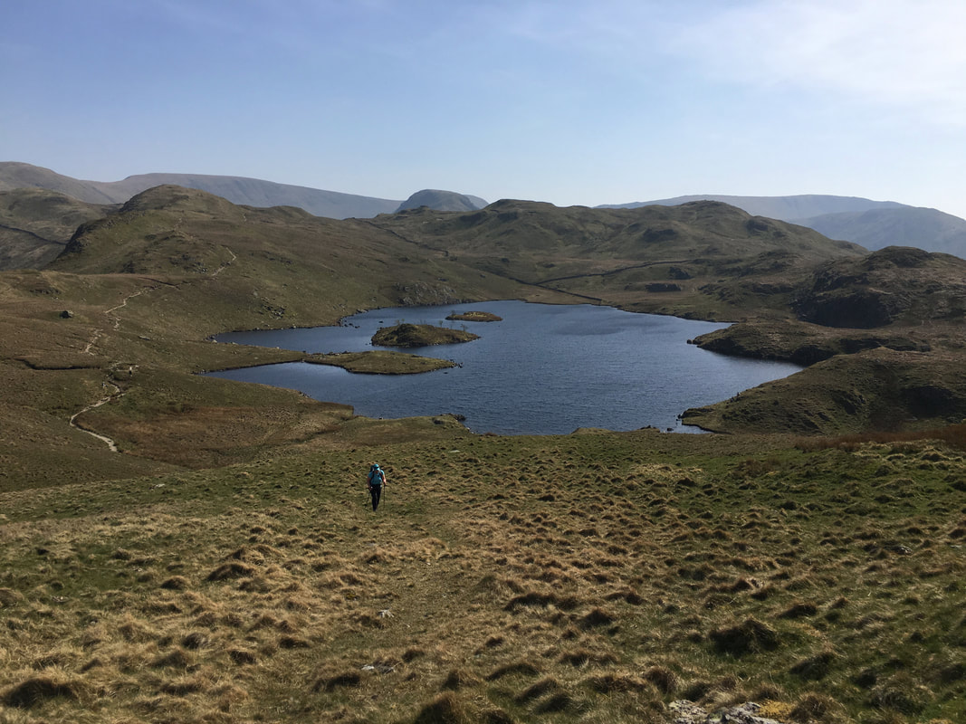
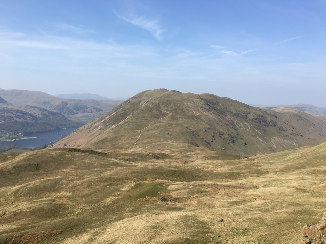
Angle Tarn comes into view as we near Brock Crags
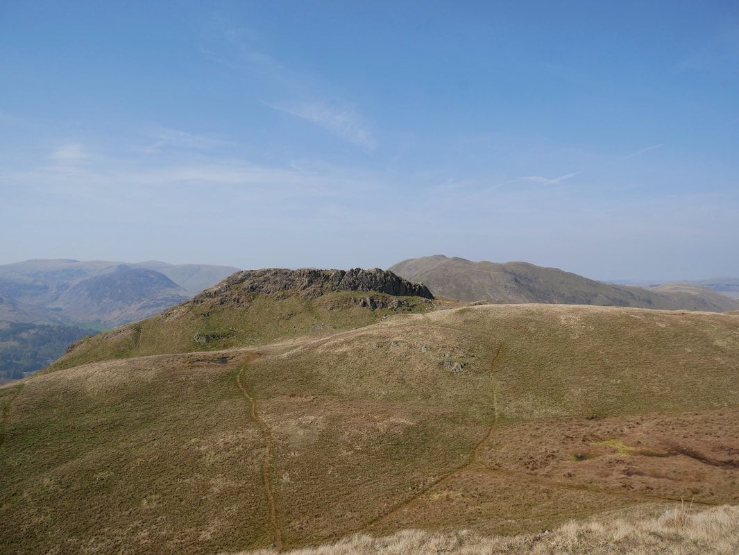
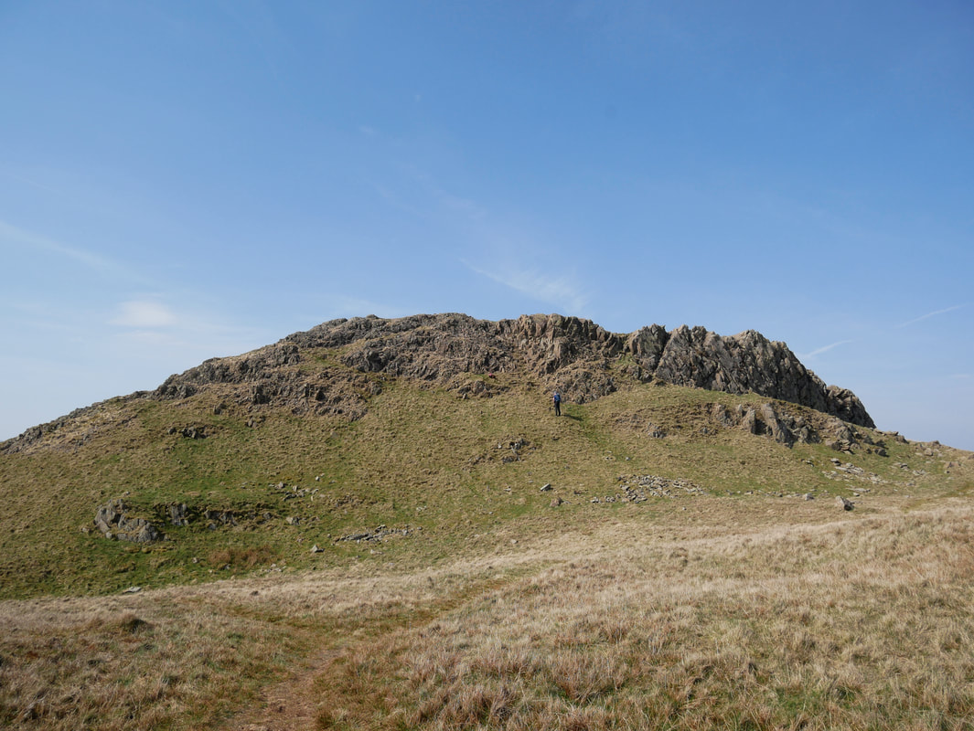
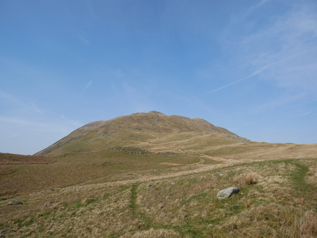
Brock Crags summit ahead. There are a couple of paths available to access the top - either are suitable.
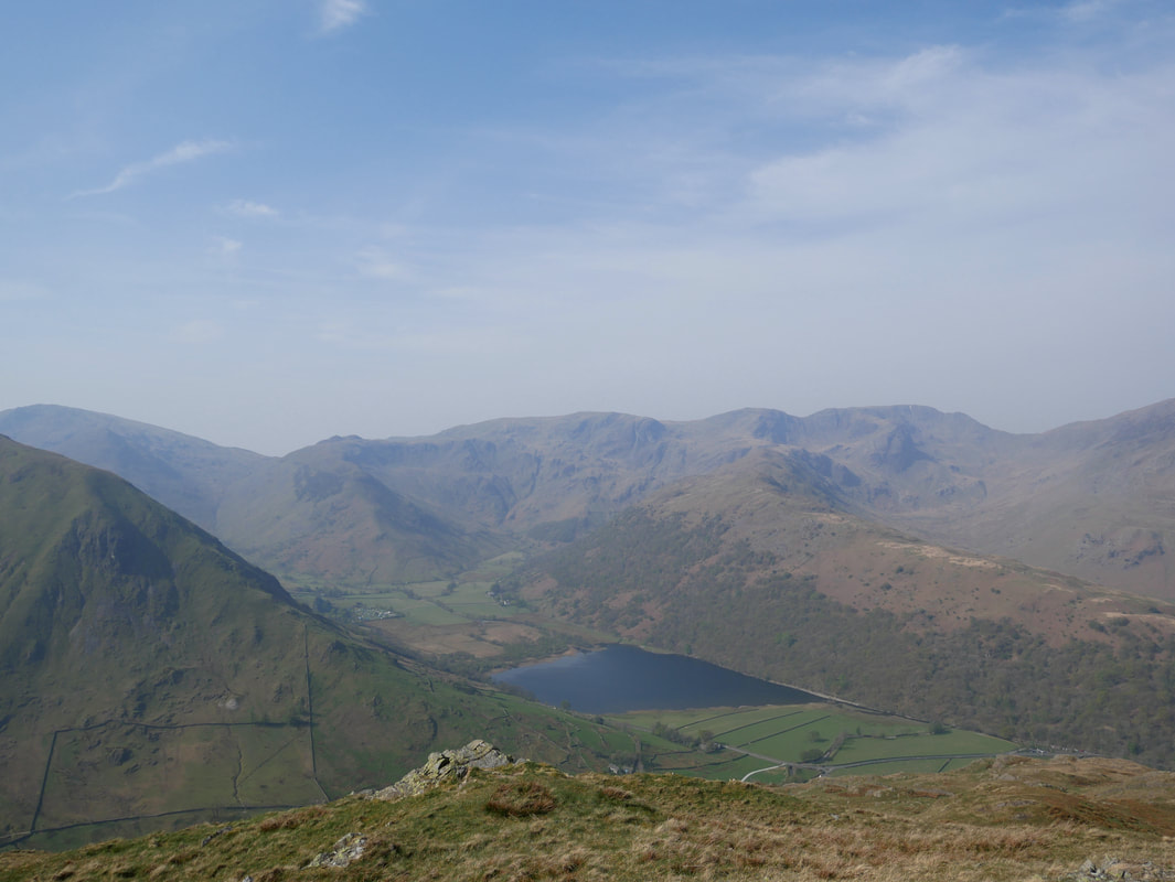
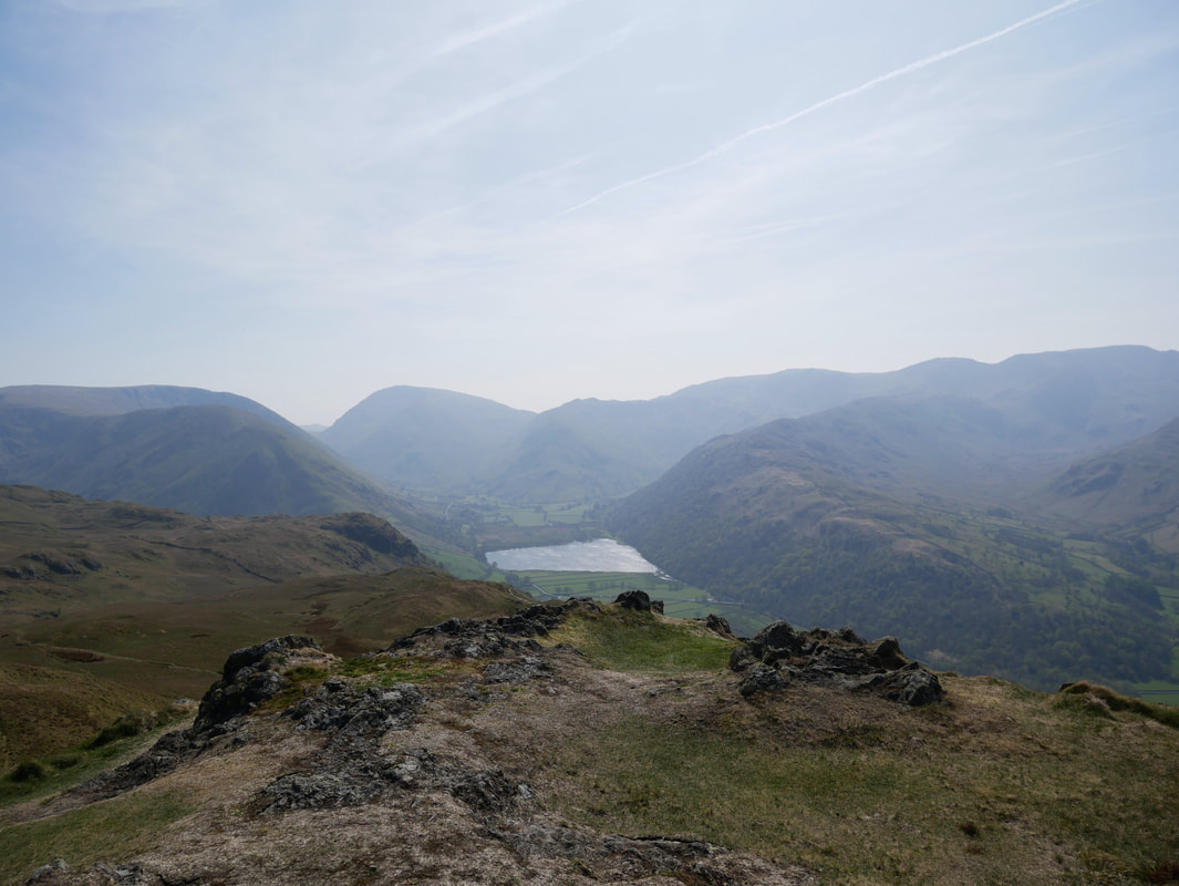
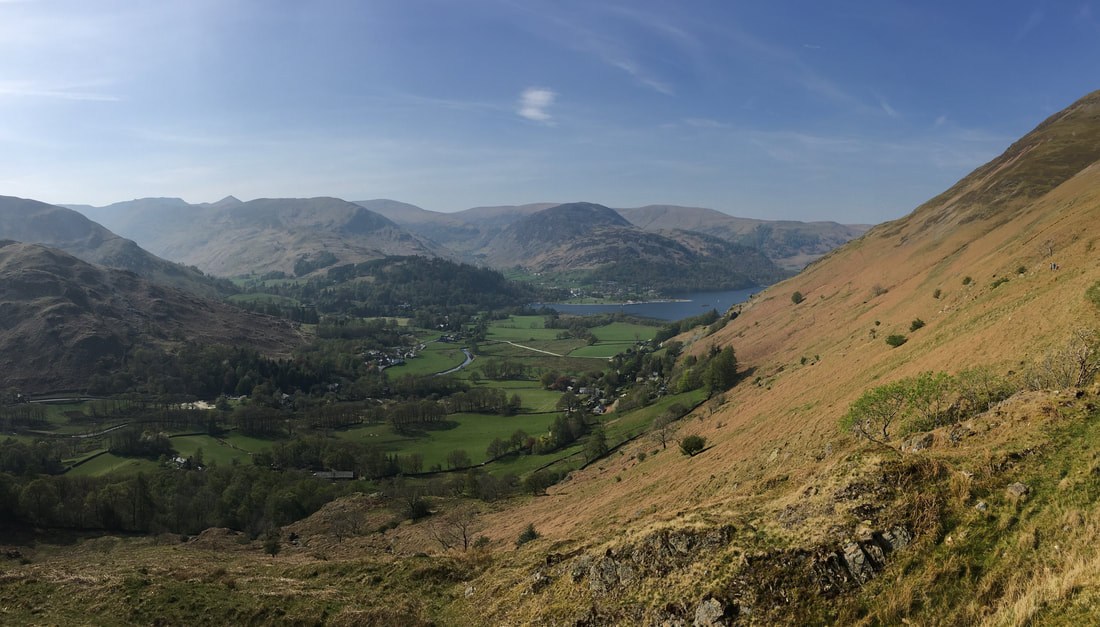
Brothers Water from the summit of Brock Crags with Red Screes to the left and the Fairfield range to the right.
The slopes of Hartsop Dodd are in the left foreground with Hartsop above How to the right.
The slopes of Hartsop Dodd are in the left foreground with Hartsop above How to the right.
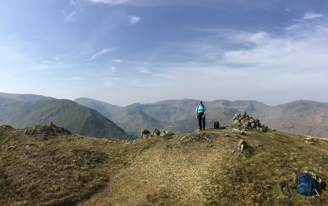
The summit of Brock Crags
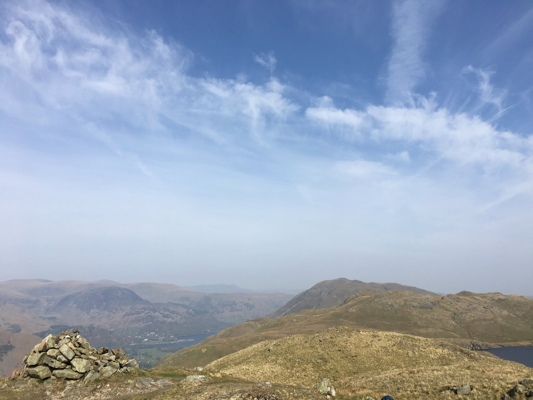
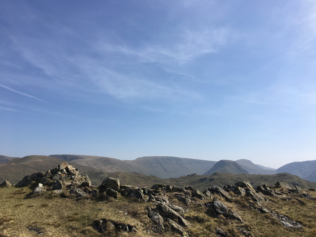
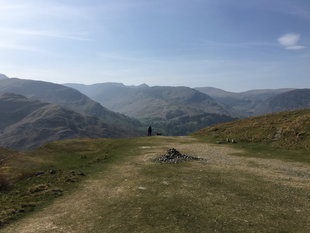
The summit cairn on Brock Crags looking to Place Fell & Angletarn Pikes
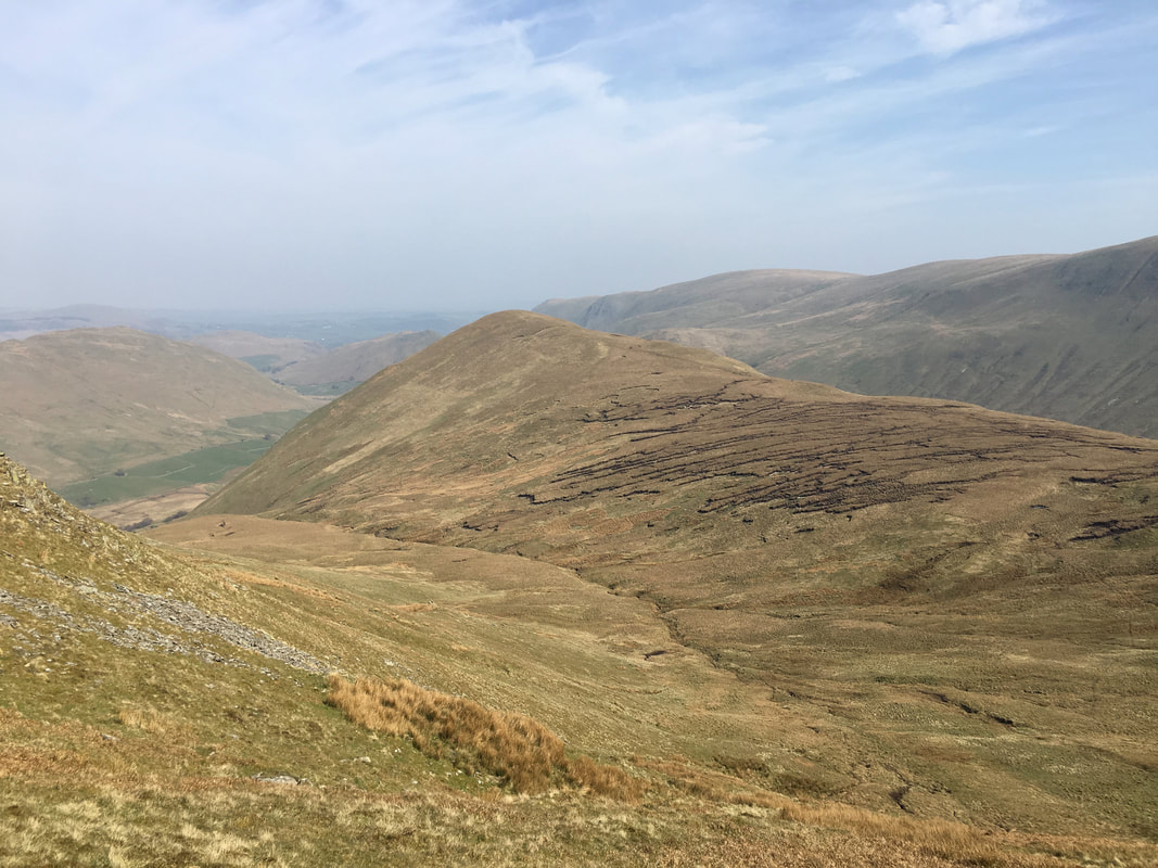
From Brock Crags the route heads east to join up with the path coming in from Angle Tarn. We were now on the Coast to Coast path just below Satura Crag. Rest Dodd is in the centre of shot and whilst we would not initially be heading in that direction, we were aiming for the top of the wall on the left hand side.
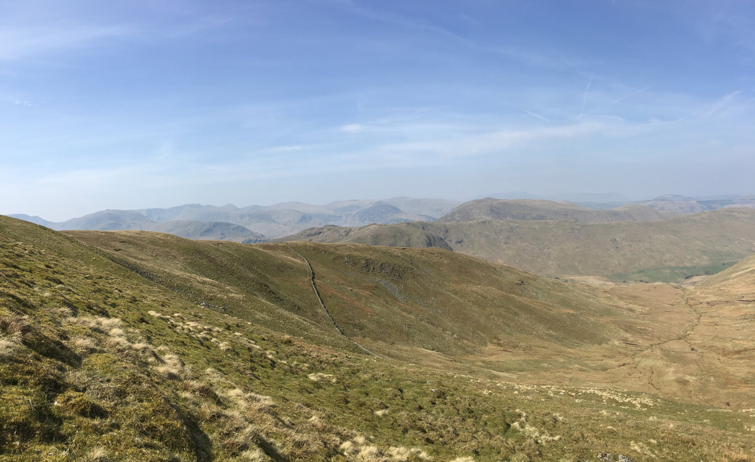
As we headed for the highest point of the wall, our next objective of The Nab comes into view.
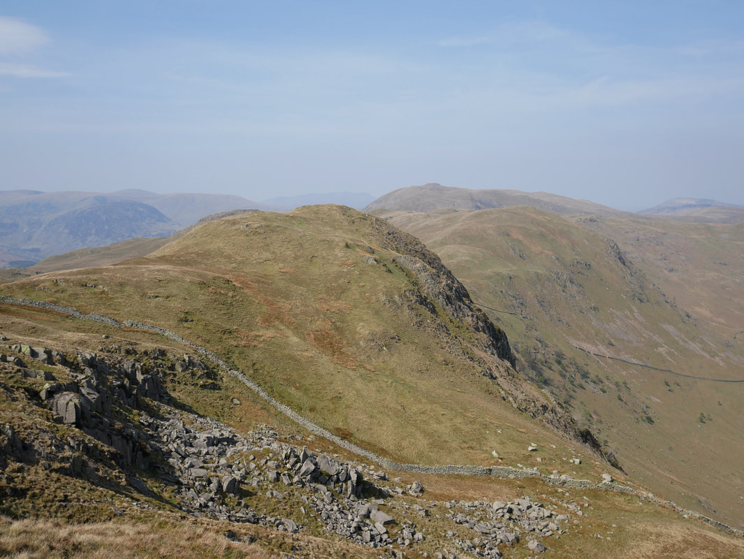
Looking back to Satura Crag as we head for The Nab.
The Fairfield & Helvellyn ranges dominate the background with the pointy top of Catstycam to the right.
The Fairfield & Helvellyn ranges dominate the background with the pointy top of Catstycam to the right.
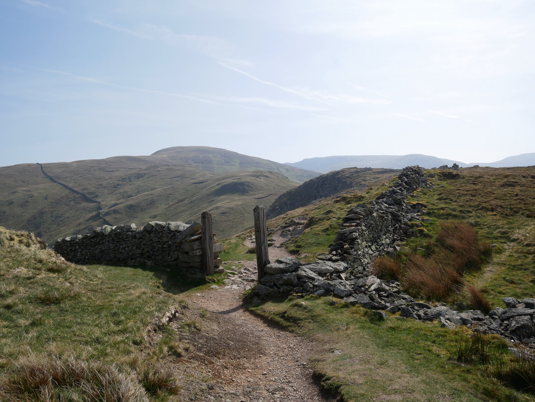
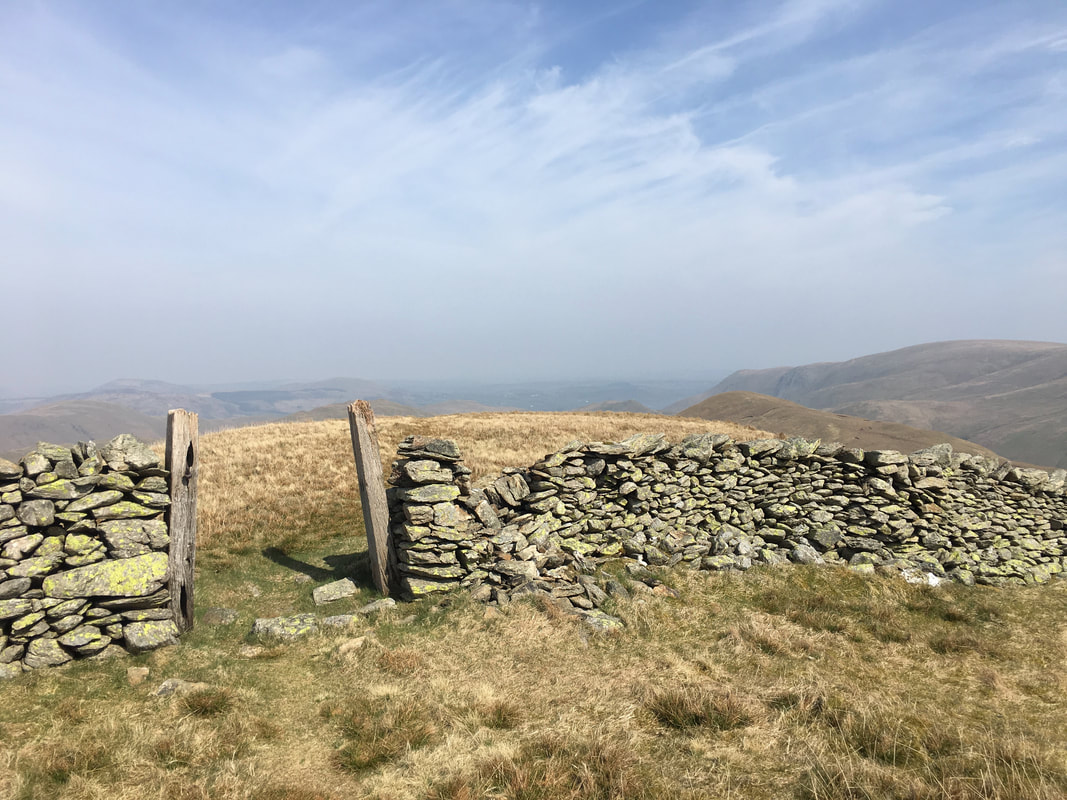
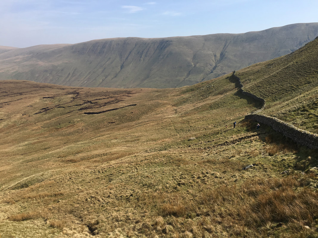
The path eventually reaches the highest point on the wall and passes through it to head right
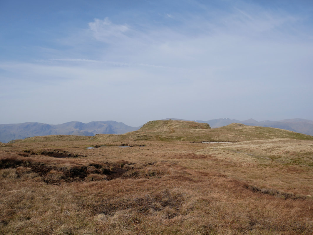
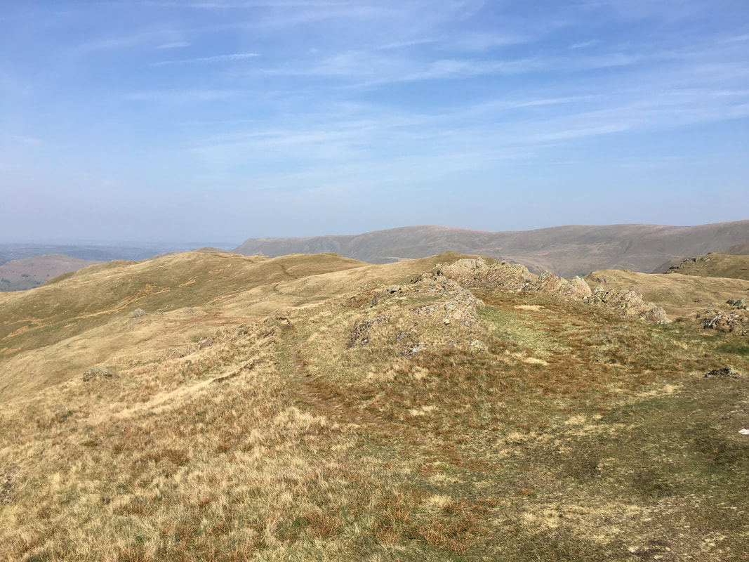
The Nab from the wall gap with the peat hags clearly visible
Once through the wall gap a faint path keeps roughly parallel with the left hand side of the wall before heading left around the top of the peat hags
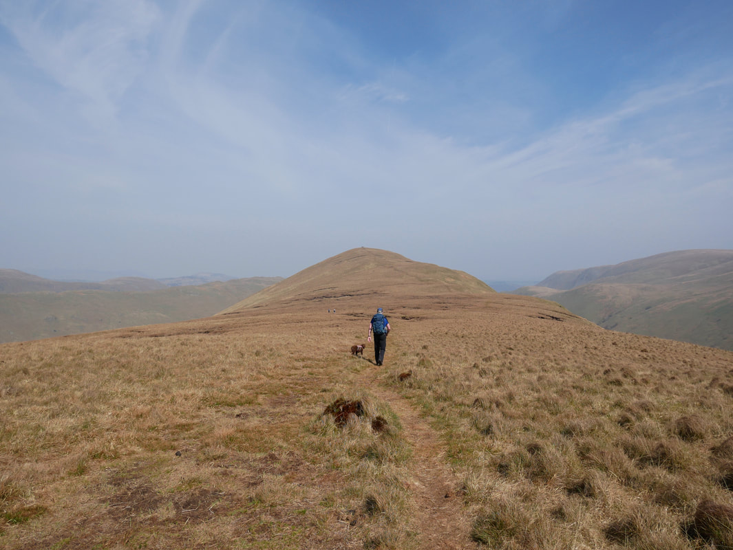
Heading for The Nab - a couple of hundred yards from here it is best to head right in order to avoid the peat hags
Looking back to Rest Dodd from the ascent of The Nab
The understated summit of The Nab.
The Nab is situated within the Martindale Deer Forest which is owned by the nearby Dalemain Estate. As expected there are lots of Deer about and it is not unusual to see and hear them rutting away. They do however roam freely in this area and I have seen them out & about as far away as Place Fell.
The Nab is situated within the Martindale Deer Forest which is owned by the nearby Dalemain Estate. As expected there are lots of Deer about and it is not unusual to see and hear them rutting away. They do however roam freely in this area and I have seen them out & about as far away as Place Fell.
Looking to Bonscale Pike, Loadpot Hill & Wether Hill from the summit of The Nab
Looking back to The Nab from the ascent of Rest Dodd. The peat hags can now be seen in all their glory - keep well to the right and they can be avoided
Nearing the summit of Rest Dodd - we had this all to ourselves
Looking to our outward route and the wall we followed from Satura Crag
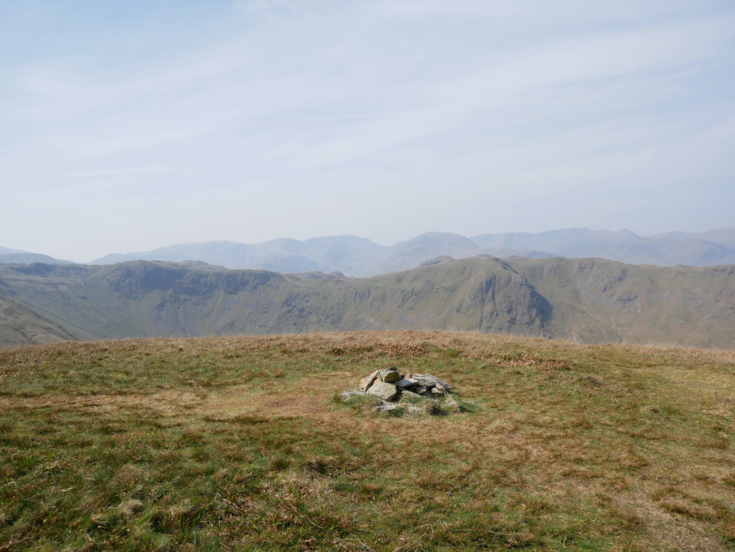
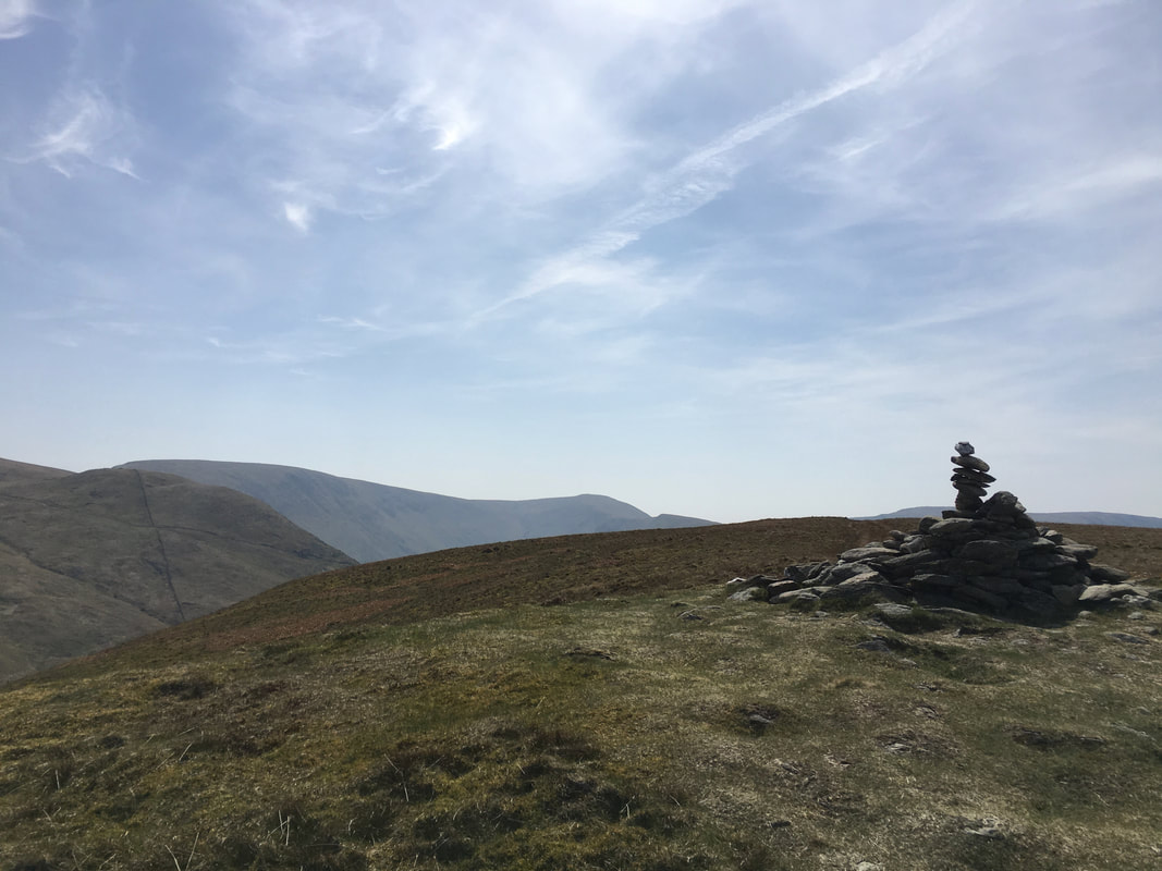
The summit of Rest Dodd complete with a rock balancing cairn.
The Knott, High Street & Thornthwaite Crag are to the rear.
The Knott, High Street & Thornthwaite Crag are to the rear.
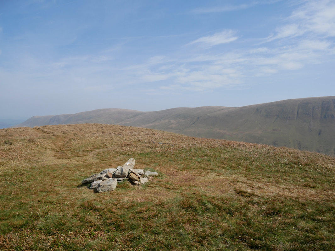
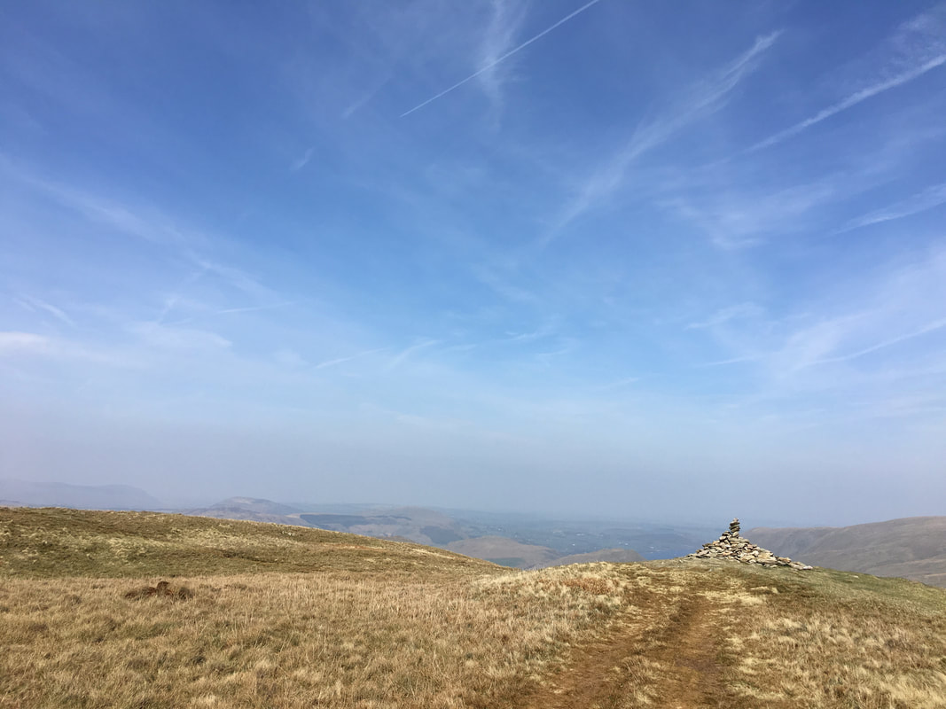
Another view of the summit of Rest Dodd this time looking to Ullswater
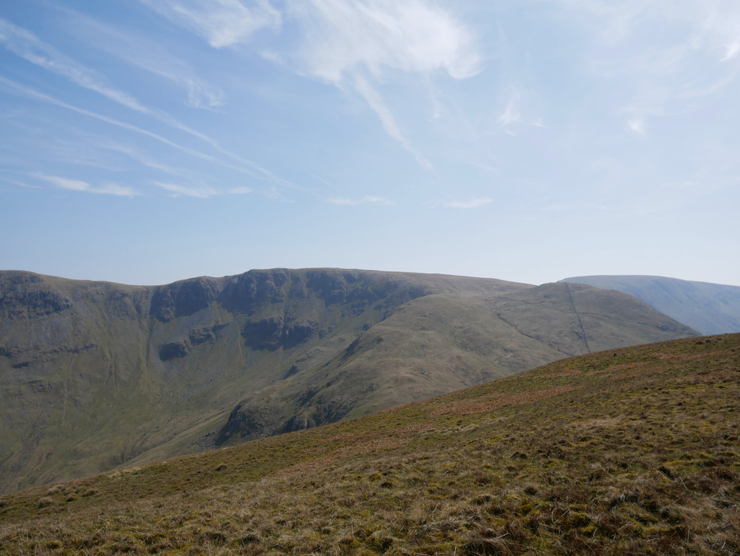
High Raise, Rampsgill Head & The Knott from Rest Dodd
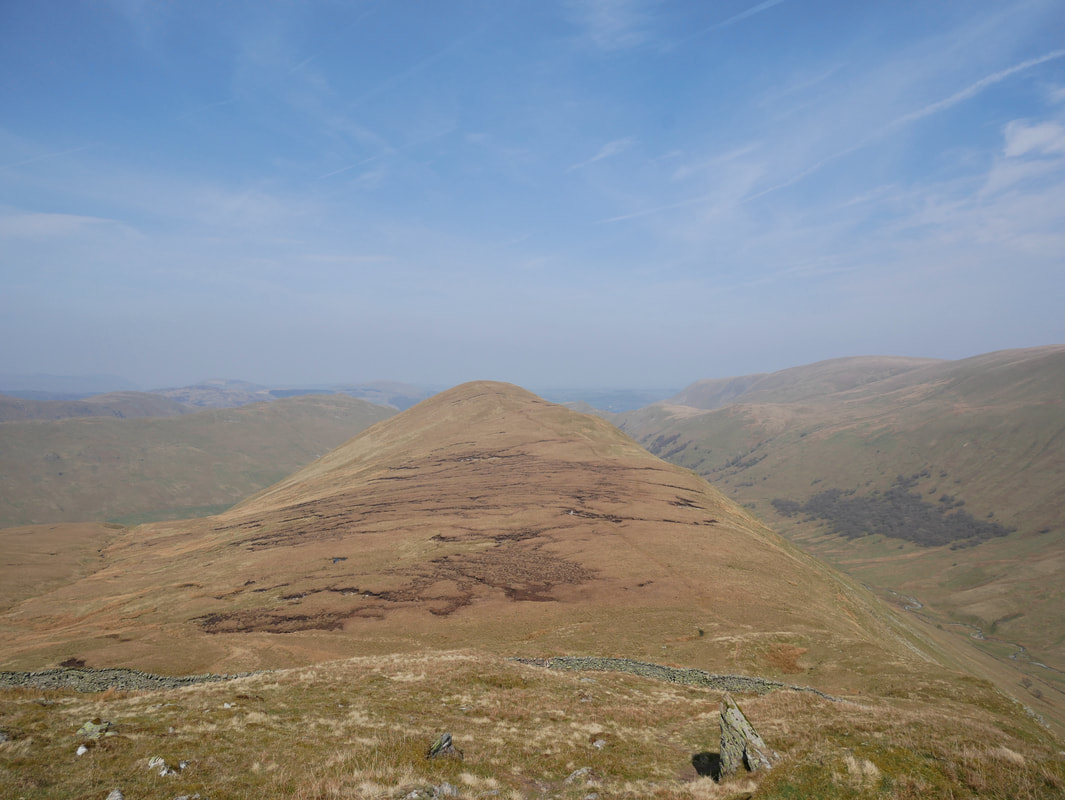
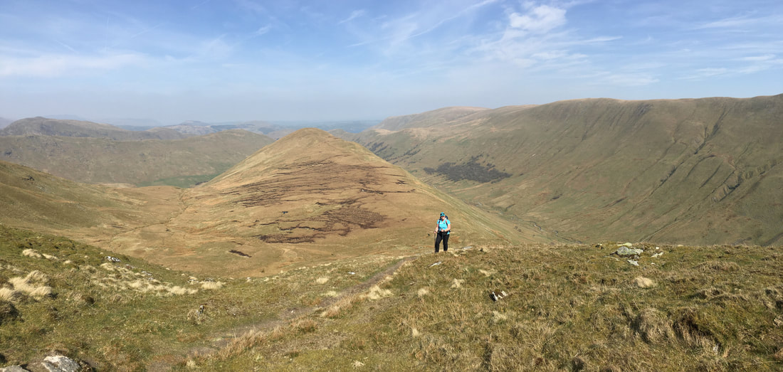
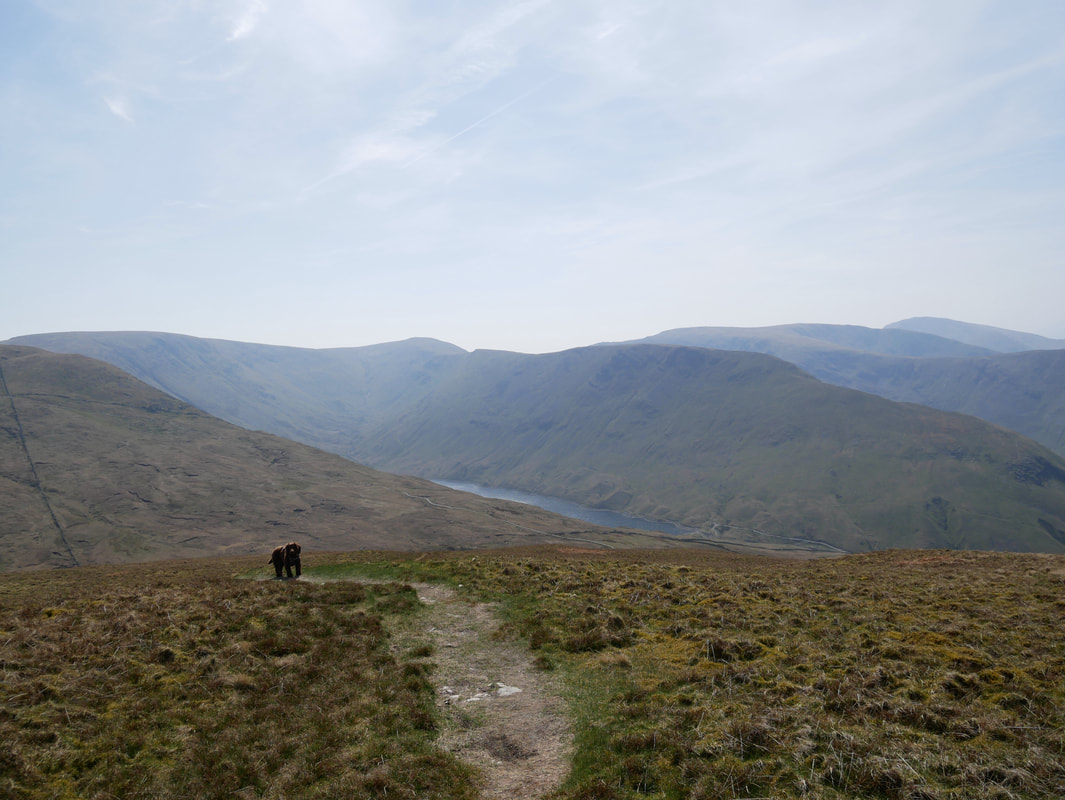
As we descend from Rest Dodd, Hayeswater comes back into view below Gray Crag
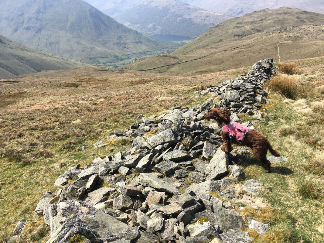
As we hit the broken wall, Fudge decides to give us is his bestest Superdog impression.
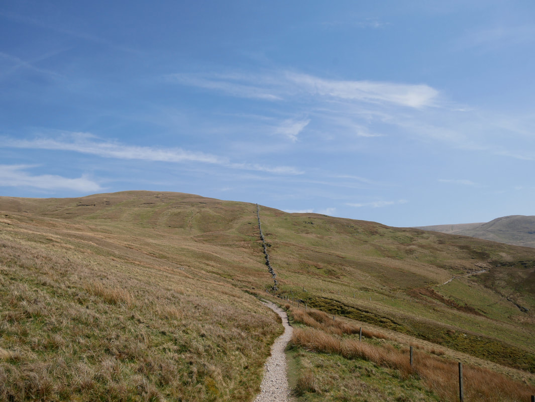
If the visibility is bad on Rest Dodd then the broken wall is a good navigational aid. Simply aim off on a bearing from the top of Rest Dodd and on hitting the wall turn right to drop down to the Coast to Coast path.
If the visibility is bad on Rest Dodd then the broken wall is a good navigational aid. Simply aim off on a bearing from the top of Rest Dodd and on hitting the wall turn right to drop down to the Coast to Coast path.
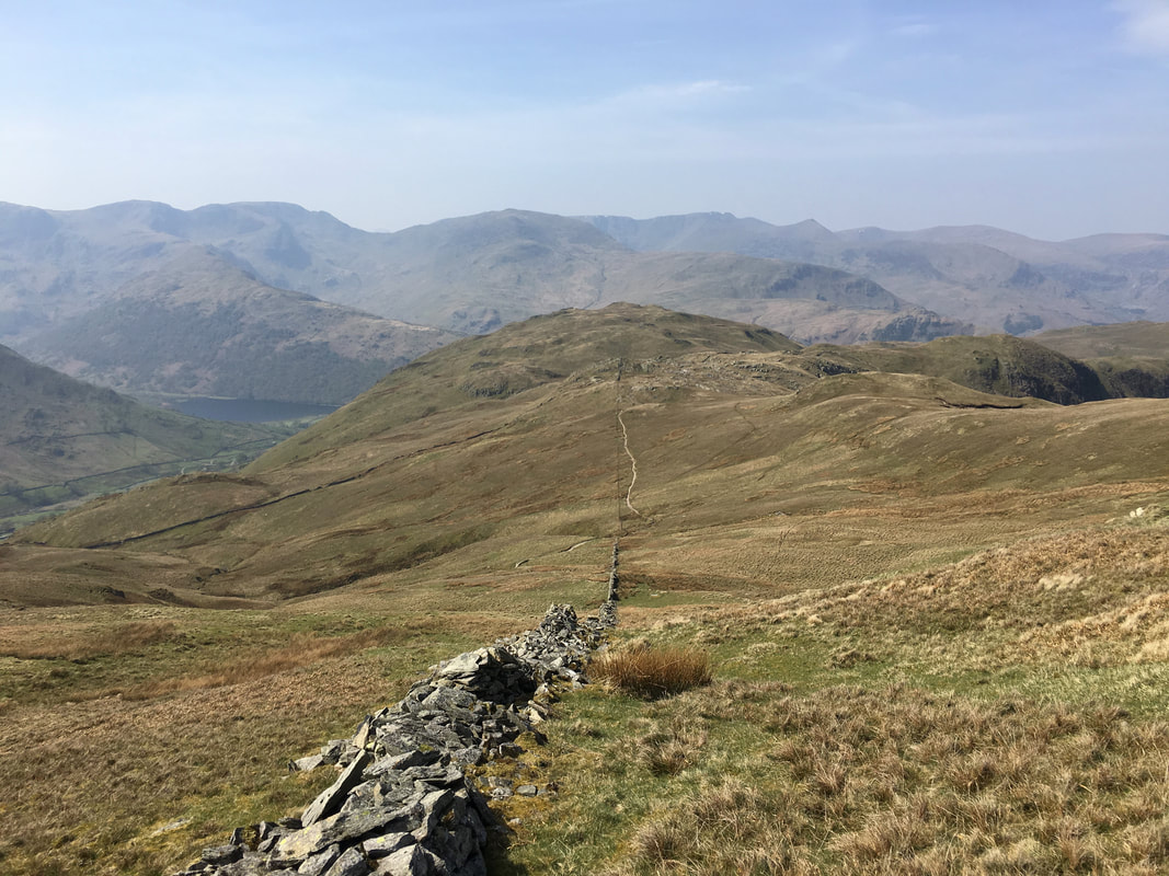
The broken wall that leads down to the Coast to Coast path which can be clearly seen coming down from Satura Crag
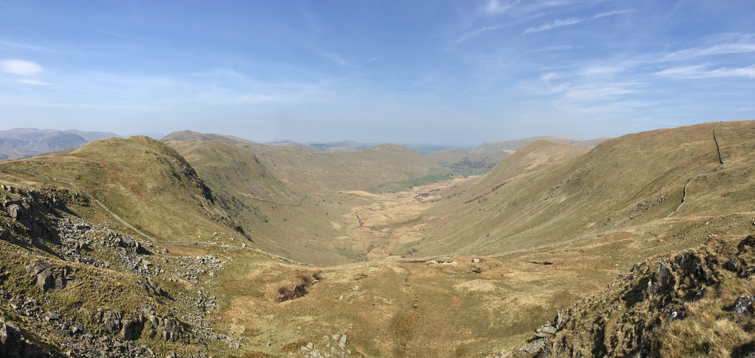
Looking back up to our descent from Rest Dodd. The Coast to Coast path can be seen swinging right towards The Knott
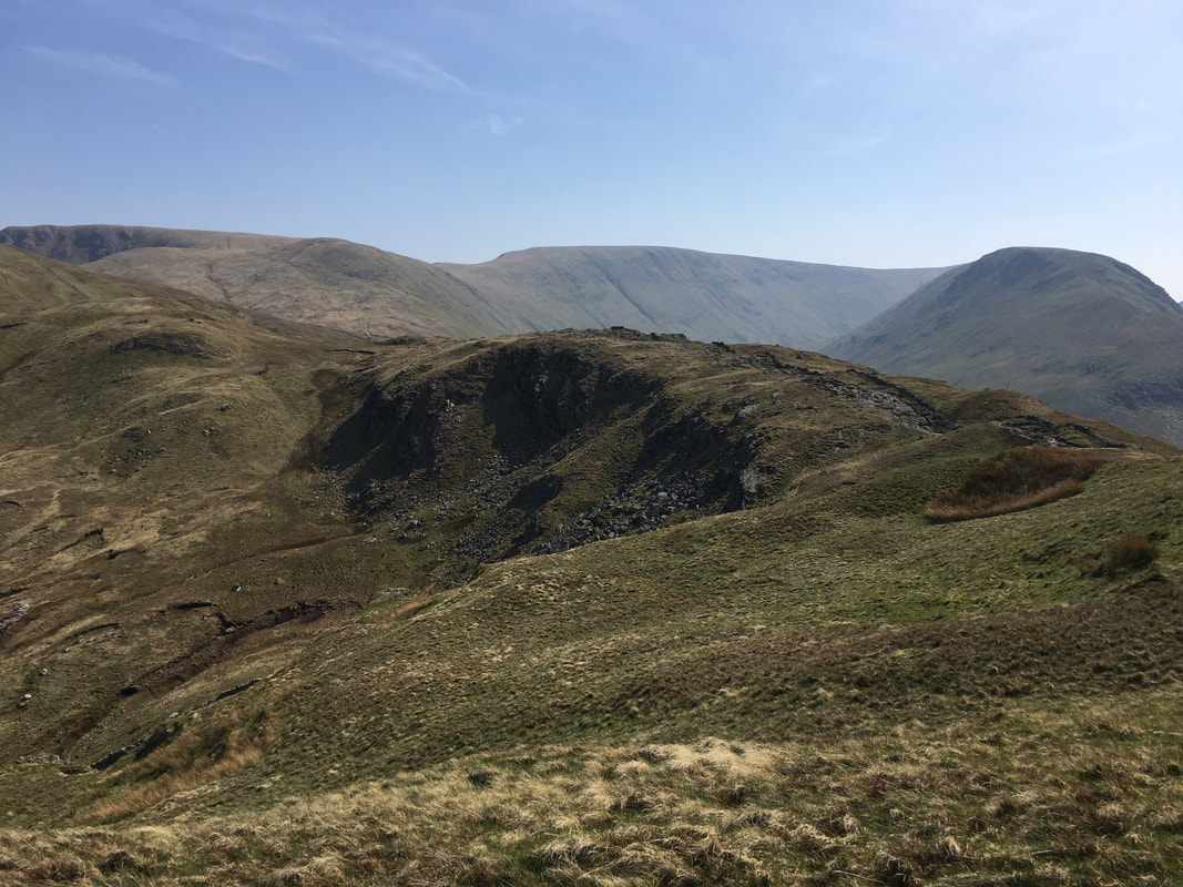
Looking to Buck Crag from Satura Crag
Looking into Bannerdale from Satura Crag
We were now back at the Satura Crag gate with Brock Crags to the rear.
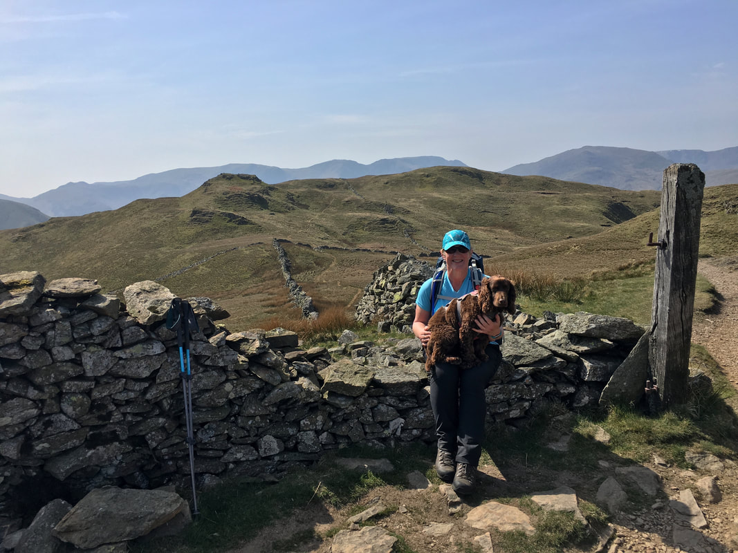
We have been through this gate many times and sat here often - it is a lovely spot.
We have been through this gate many times and sat here often - it is a lovely spot.
Looking back to Satura Crag
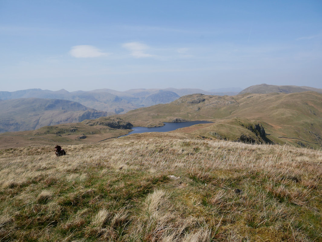
Angle Tarn & our last summit of the day Angletarn Pikes from the summit of Buck Crag
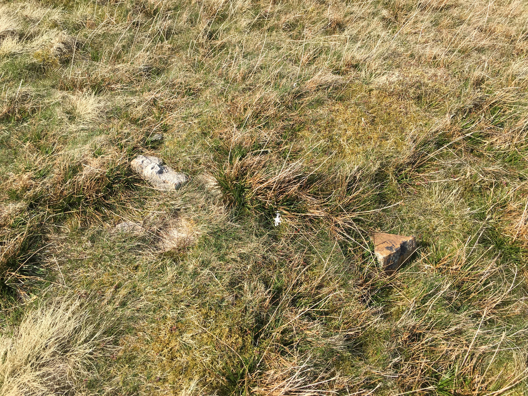
The summit of Buck Crag is described as "an embedded stone in the ground" - and here it is.
The summit of Buck Crag looking to Angle Tarn with Angletarn Pikes behind and Place Fell away to the right
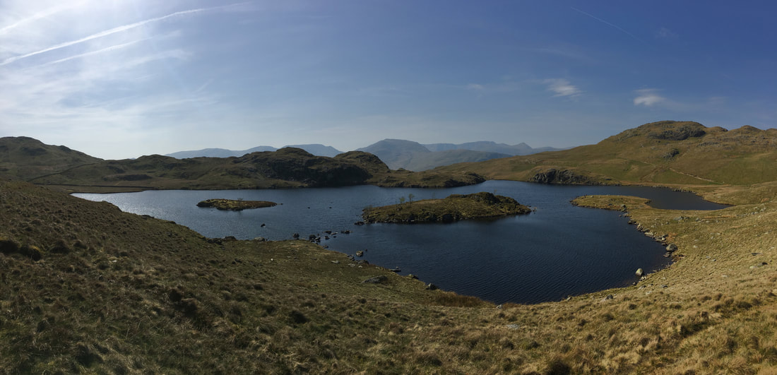
The idyllic Angle Tarn - a really beautiful spot
From Angle Tarn it is a short, sharp pull up to the southern summit of Angletarn Pikes
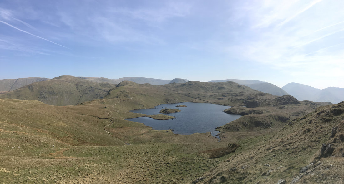
Looking back down our ascent of Angletarn Pikes to Angle Tarn.
Our route over from Buck Crag can clearly be seen on the left. In the distance from the left are Rest Dodd, High Street, The Knott, Gray Crag & Brock Crags.
Our route over from Buck Crag can clearly be seen on the left. In the distance from the left are Rest Dodd, High Street, The Knott, Gray Crag & Brock Crags.
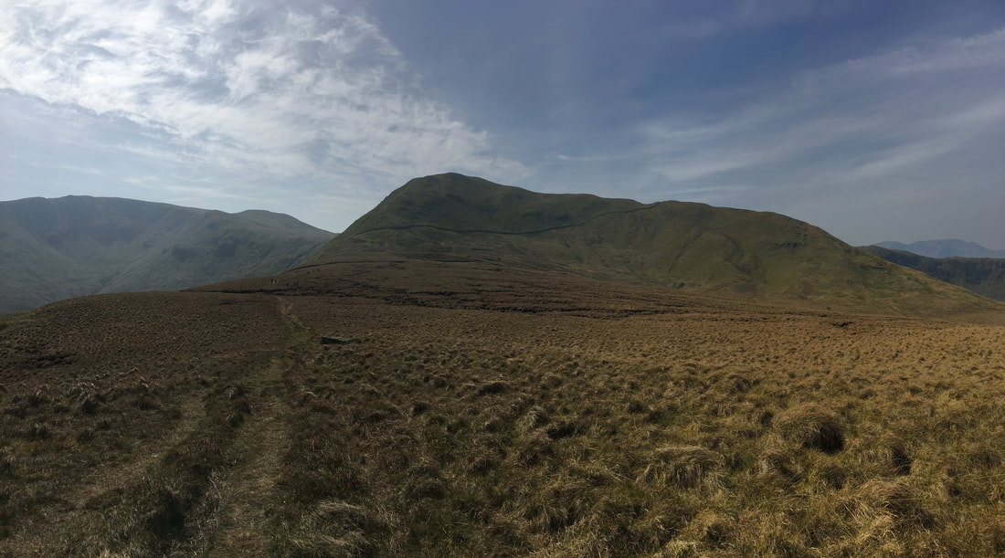
A panorama from the southern summit of Angletarn Pikes
The summit of Angletarn Pikes (South Top)
The view to Angletarn Pikes North Top from the South Top.
As can be seen there are a couple of option from here - both paths can be used however the left hand side is a much more interesting ascent and leads to the sloping path that can just about be seen in the centre of shot. The path to the right gives a much gentler ascent around the right hand side of the fell.
As can be seen there are a couple of option from here - both paths can be used however the left hand side is a much more interesting ascent and leads to the sloping path that can just about be seen in the centre of shot. The path to the right gives a much gentler ascent around the right hand side of the fell.
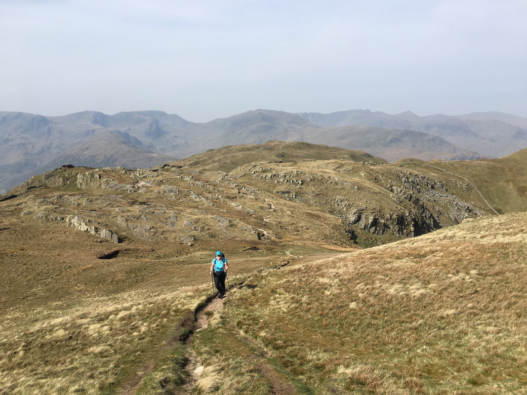
The approach to Angletarn Pikes North Top
Place Fell & Ullswater from the North Top summit
Looking to Red Screes and Brothers Water from the rocky outcrop that marks the Wainwright summit of Angletarn Pikes
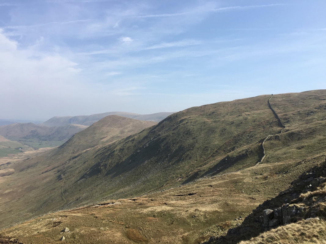
The last time I was here I had come over from Beda Fell, the path to which can be seen stretching away in the distance
We were next off to Boredale Hause which can be reached either by dropping down a short distance to the south west to regain the Coast to Coast path or as we did today head off on the north east path which after a short distance reaches a junction - go left for Boredale Hause or right for Beda Fell.
Boredale Hause
Looking to the ascent of Place Fell from Boredale Hause
Boredale Hause is another place we have been to many times - as can be seen it gives glorious views to the west
Looking to Patterdale & Glenridding from Boredale Hause
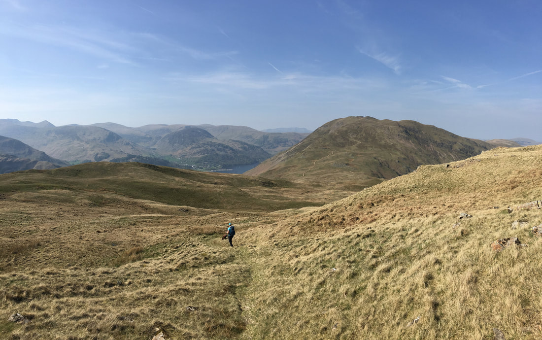
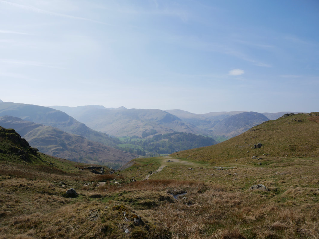
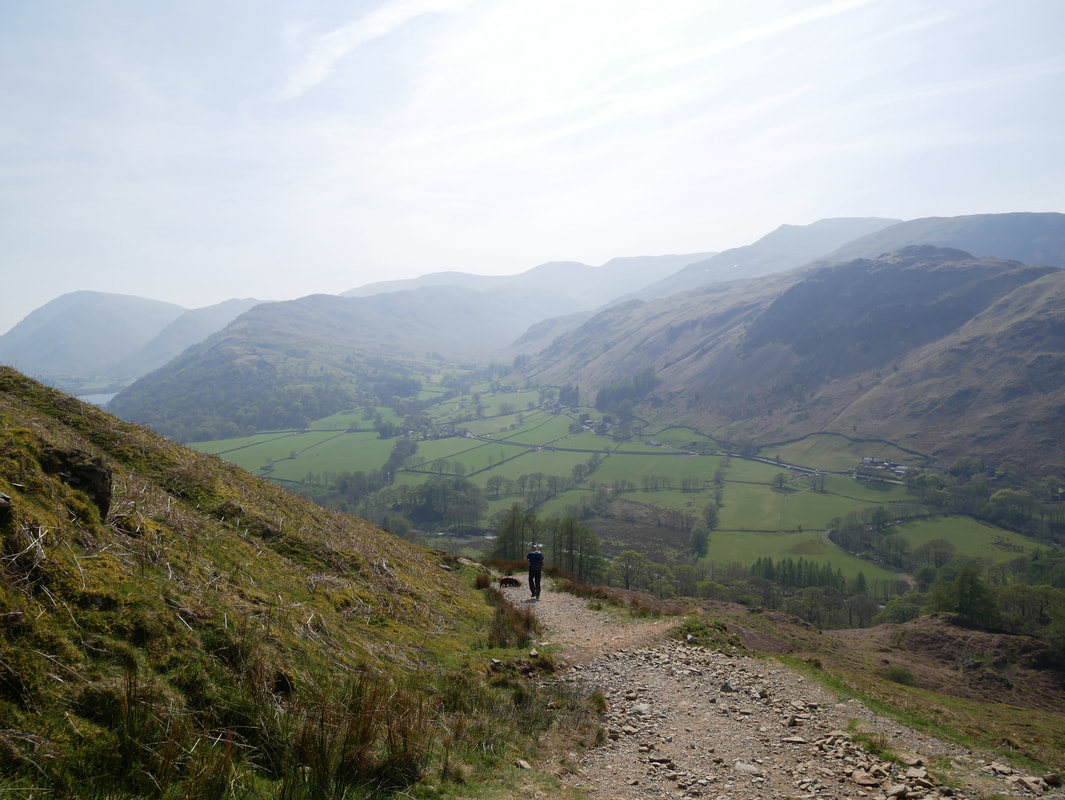
The path back to Hartsop descends gently to the valley floor......................
............ and gives superb views to Hartsop Dodd, Caudale Moor, the Kirkstone Pass & Red Screes
Dubhow Crag
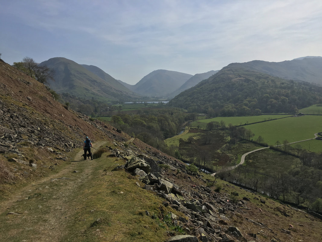
Once on the valley floor it is a delightful walk back to Hartsop
