St Abbs Head from Coldingham - Monday 17 October 2016
Route
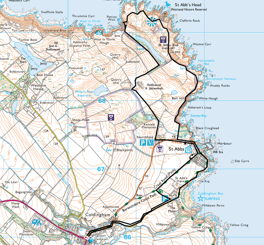
Coldingham - St Abbs - Kirk Hill - St Abbs Head - Pettico Wick - Northfield - St Abbs - Creel Road - Coldingham
Parking
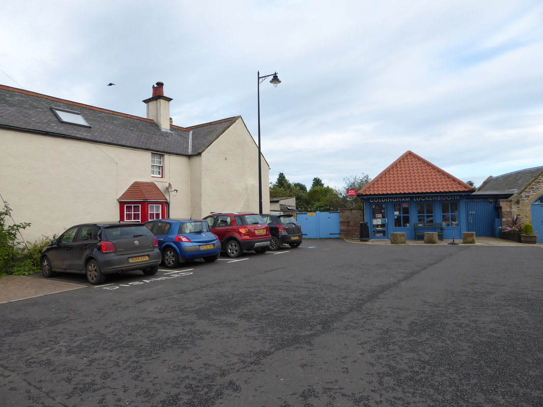
Luckenbooth Car Park near Coldingham Priory & The New Inn (Free) - Grid Ref NT 903660
Mileage
7.8 miles
Terrain
Cliff top and field paths with some walking on minor roads.
Weather
Overcast with sunny spells.
Time Taken
3hrs 30mins
Total Ascent
1407ft (429m)
Map
OS 346 - Berwick-upon-Tweed
|
GPX File
|
| ||
If the above GPX file fails to download or presents itself as an XML file once downloaded then please feel free to contact me and I will send you the GPX file via e-mail.
Walk Description
Not far over the English/Scottish eastern border is St Abbs Head - a rocky promontory near to the village of St Abbs which is just outside Coldingham. We were staying in Northumberland therefore hopped over the border to walk along some of Scotland's impressive eastern coastline - we were not disappointed.
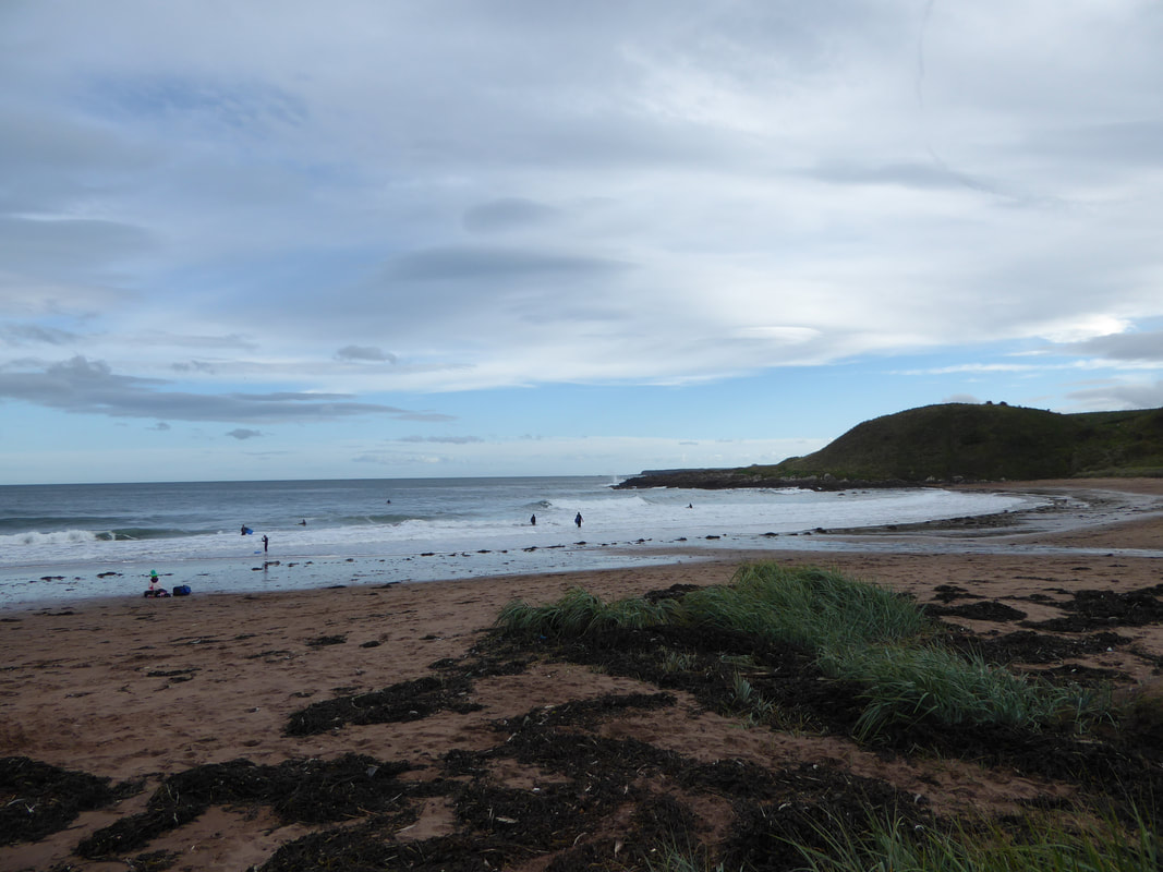
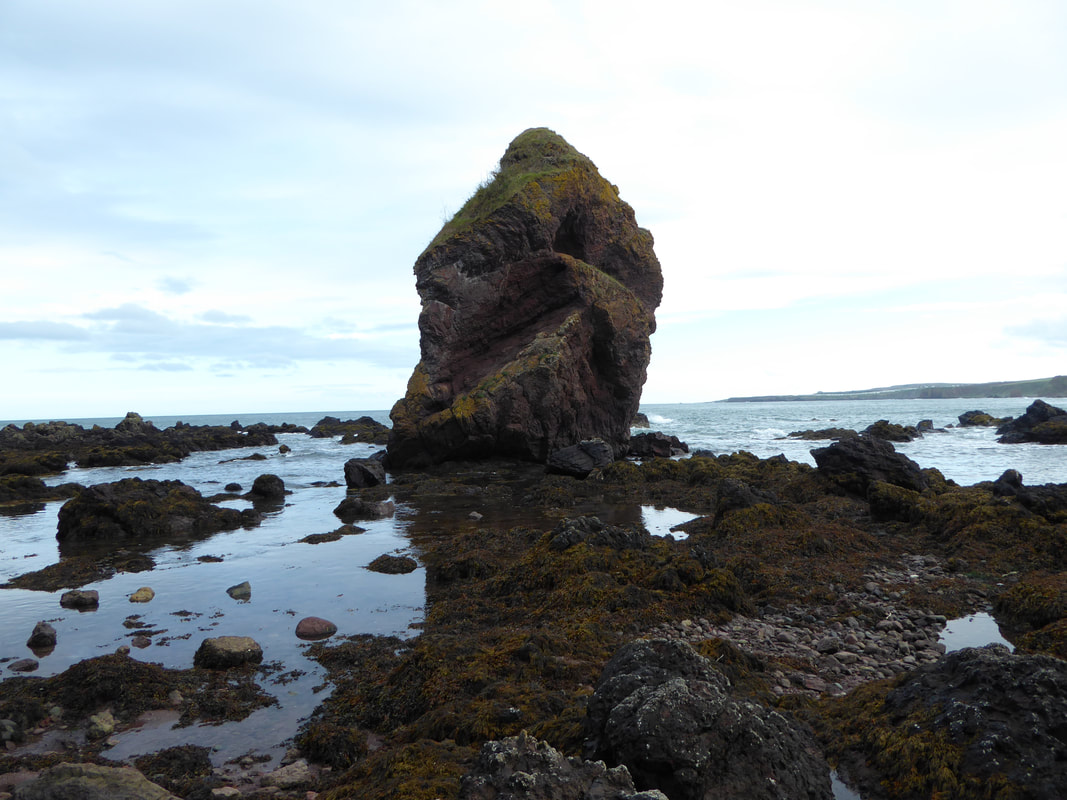
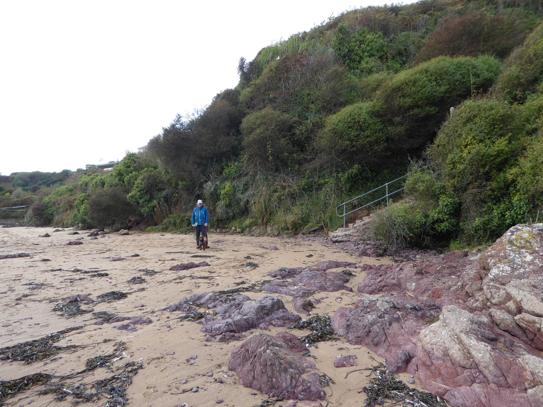
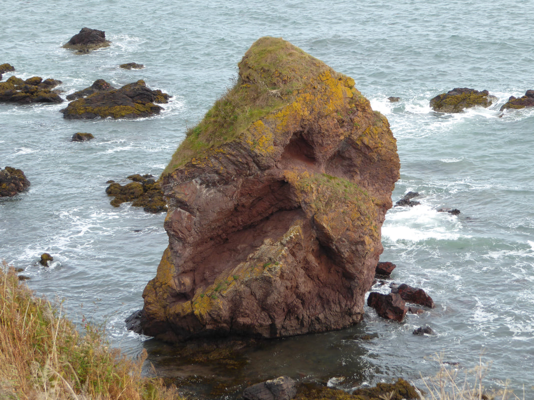
There are several car parks in Coldingham village - we had a bit of lunch in The New Inn therefore parked just over the road in the Luckenbooth Car Park. From the parking area the route headed along a minor road to reach Coldingham Bay from where there is a section walking along the sand to reach The Kip - an impressive 8 metre high sea stack. From The Kip a set of steps climbed to reach a path which took us along the cliff edge to reach the village of St Abbs.
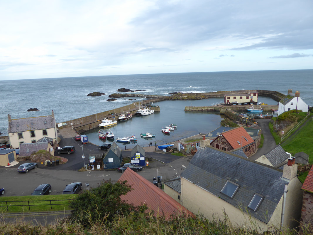
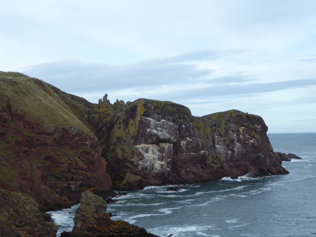
St Abbs is a delightful and picturesque place with a small compact harbour. The village takes its name from the 7th century St Ebba, or Aebba, who is supposed to have established a nunnery along the cliffs just north of the village. The route heads above the village & harbour, passing the memorial to 2 independent fishing disasters before heading inland to pass the former village church. From the church a gravel path leads back to the coast and this is where the scenery becomes more dramatic. Heading around Starney Bay, the interesting rock formations of White Heugh come into view and from here the path moves away from the coast for a few hundred yards before joining the coast again near Horsecastle Bay.
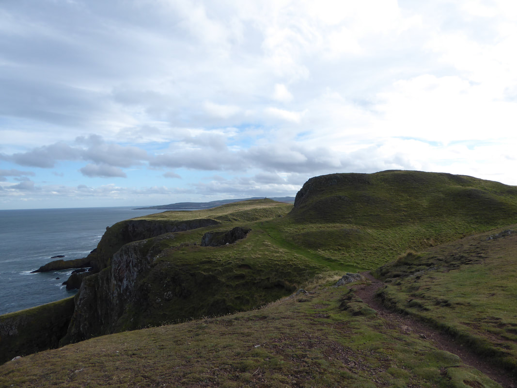
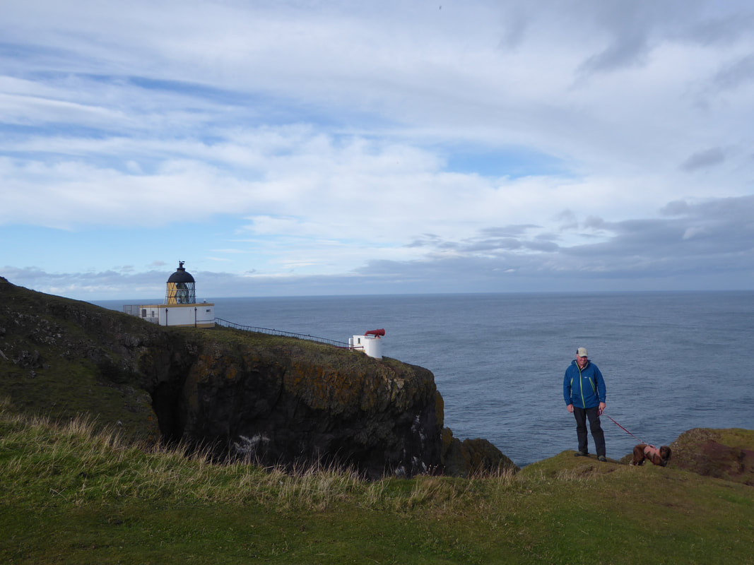
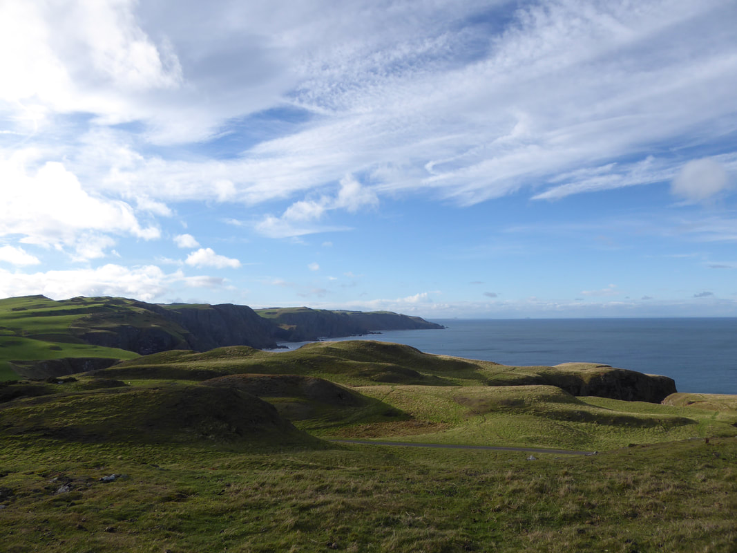
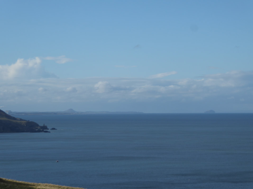
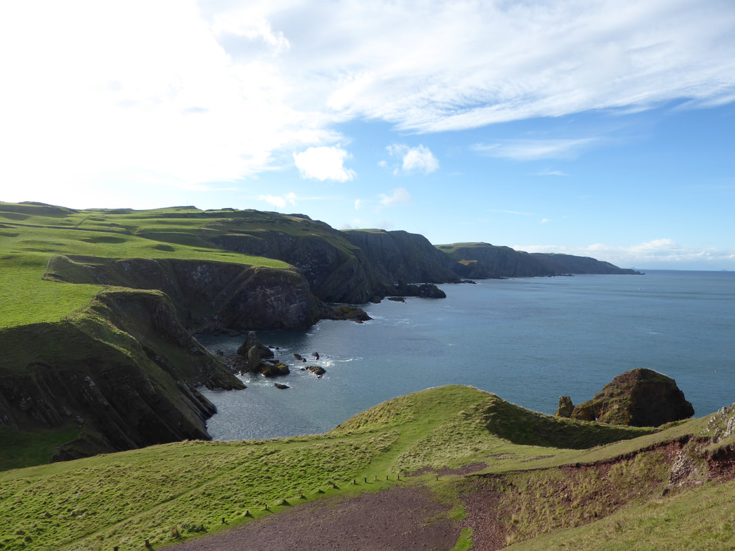
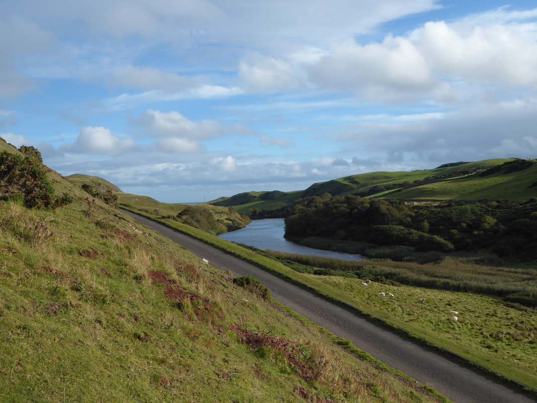
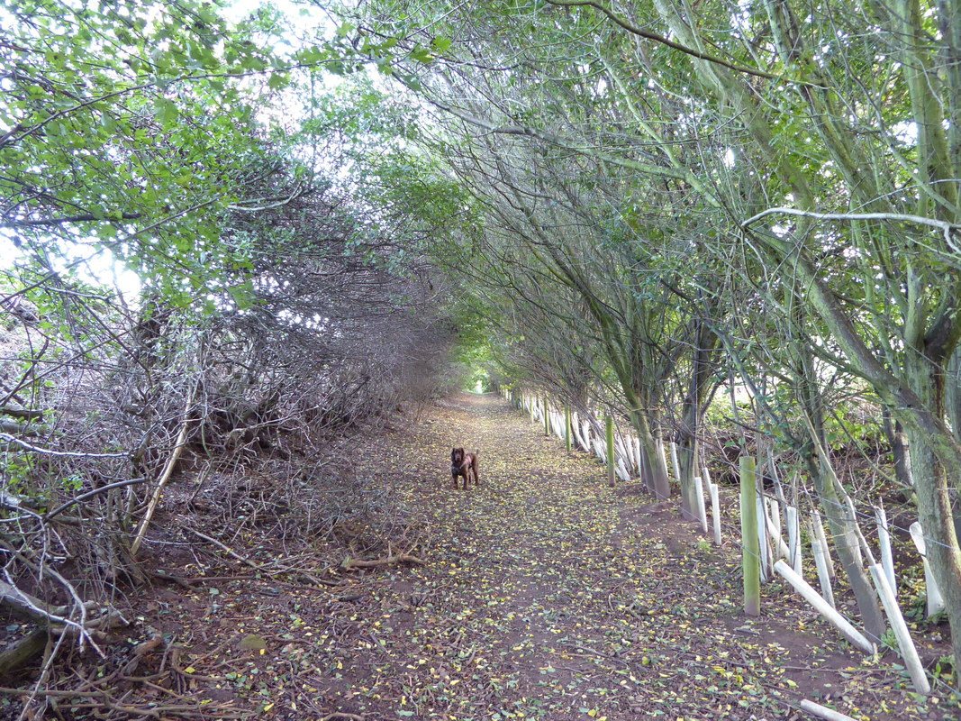
From Horsecastle Bay the route heads to Kirk Hill and the site of a former monastery to then reach the Lighthouse before rounding the headland, dropping steeply to Pettico Wick. It is quite beautiful here with the coast stretching away towards North Berwick and the outcrop of Bass Rock clearly visible. The path now headed inland away from the coast to continue through the Nature Reserve along the woodland shore of Mire Loch. This is a delightful stretch and meanders along grassy paths with some minor road walking including a beautiful tree lined path near Northfield which took us back into St Abbs village. From the village it was a simple walk along a path known as the Creel Road which took us back to join our outward route to eventually return to Coldingham.
The Car Park in Coldingham at Luckenbooth
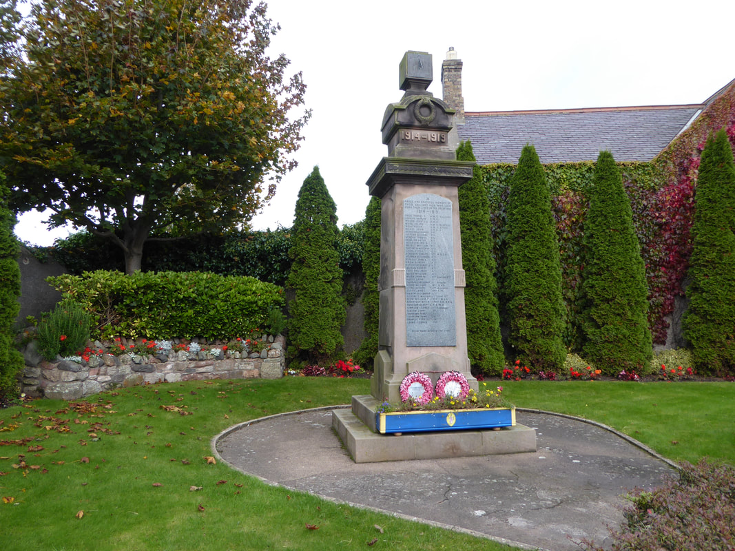
Coldingham War Memorial
The beach at Coldingham Bay
The 8 metre high sea stack in Coldingham Bay known as "The Kip"
After a wander along the beach, these steps lead up to St Abbs village
Looking down on The Kip from above the beach
The Northern promontory of Coldingham Bay
The lovely fishing village of St Abbs
A St Abbs panoramic (click on the image for an enhanced pic)
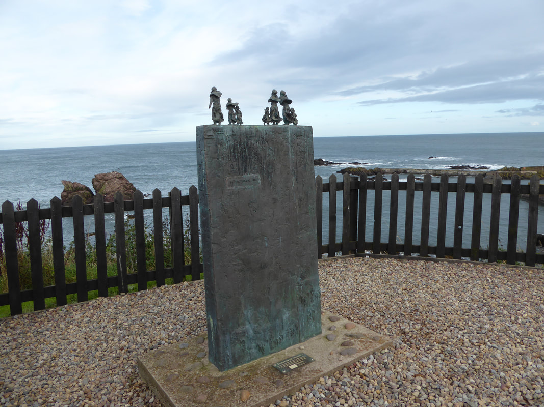
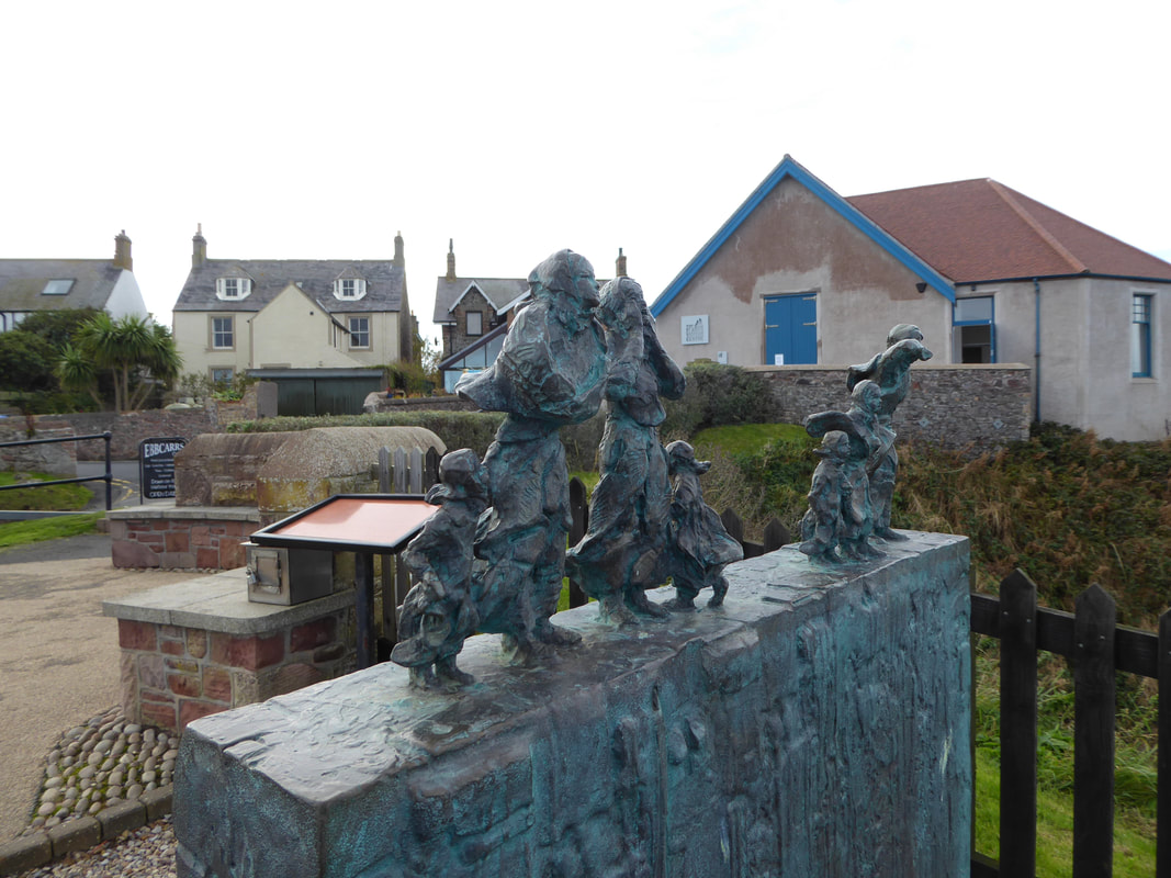
The bronze memorial at St Abbs in memory of the Eyemouth Fishing Disaster. The memorial consists of the figures of wives and children, braced against the wind looking out to sea for the return of their loved ones. The disaster was caused by a severe European windstorm that struck the south eastern coast of Scotland on 14 October 1881. 189 fishermen, most of whom were from the village of Eyemouth were drowned. Many citizens of Eyemouth call the day "Black Friday".
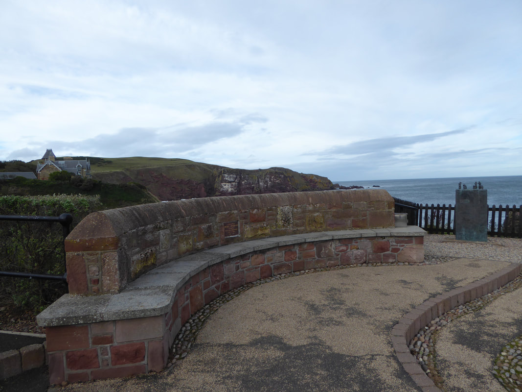
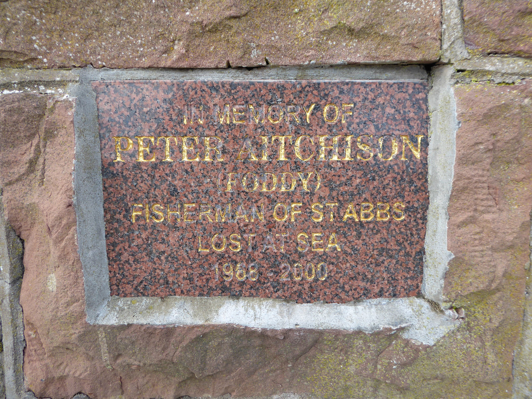
Another memorial near the Eyemouth Disaster Bronze - a bench and plaque to mark the passing of a
local resident who was drowned on a fishing trip in 2000
local resident who was drowned on a fishing trip in 2000
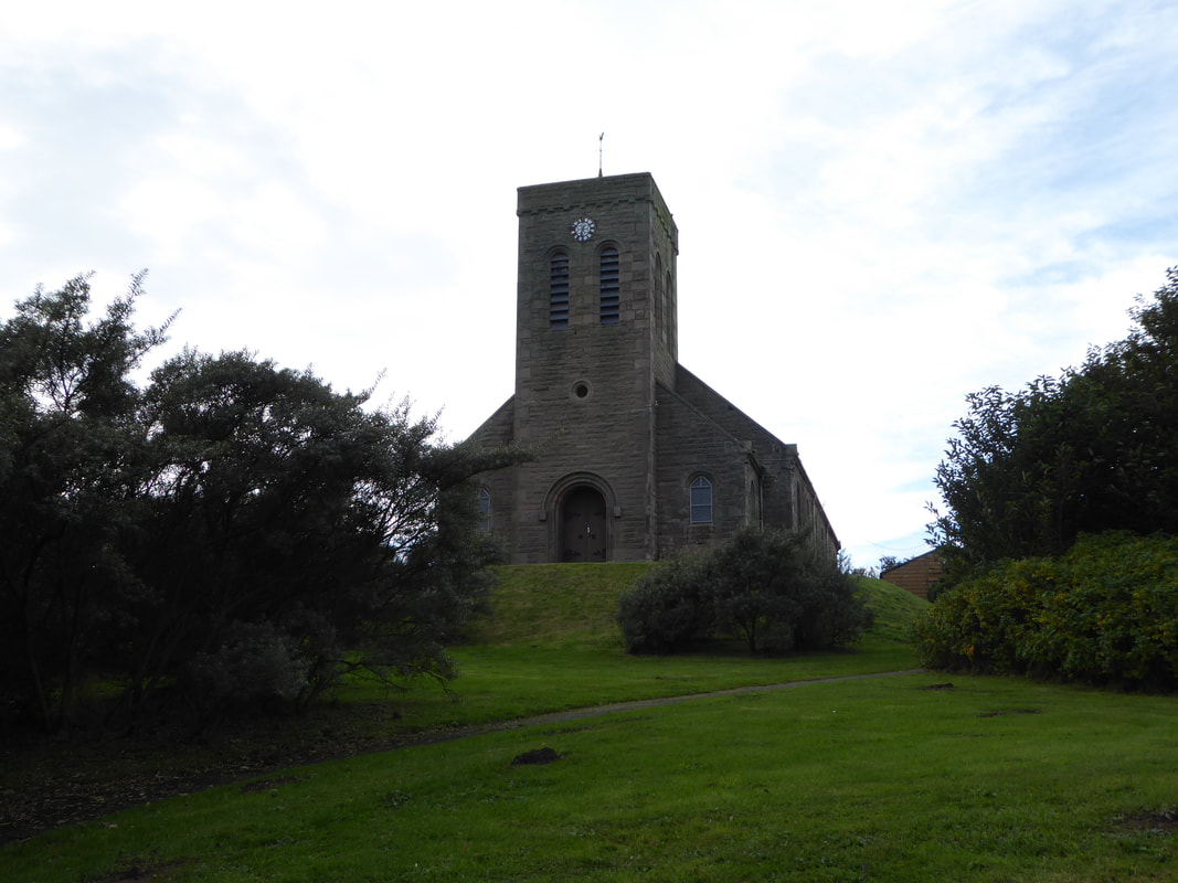
The former Church of St Abbs
Passing the former church, the route heads to the right over the road.......
..... to reach this gravel path
The cliff top & rocks at White Heugh, Starney Bay
White Heugh
Horsecastle Bay
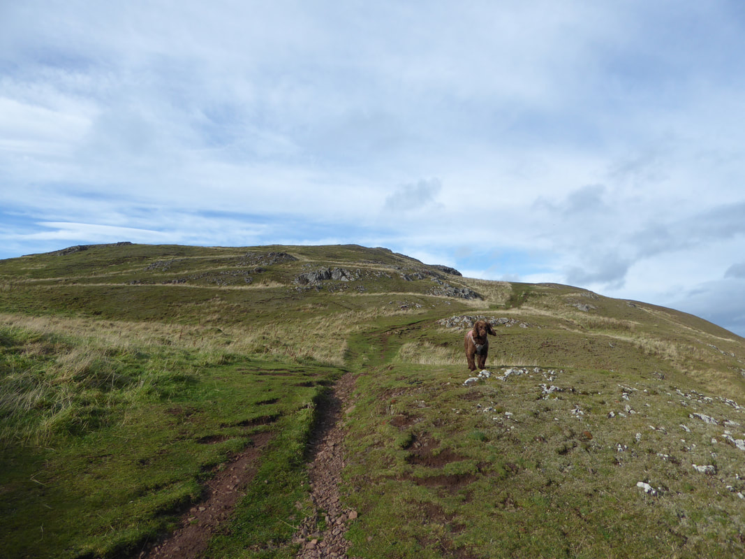
Kirk Hill (and an impatient Cocker)
Looking back to Kirk Hill from near St Abbs Head
The lighthouse at St Abbs Head - began its service in 1862
A St Abbs Head panoramic (click on the image for an enhanced pic)
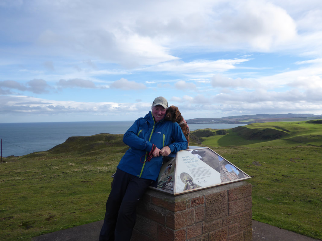
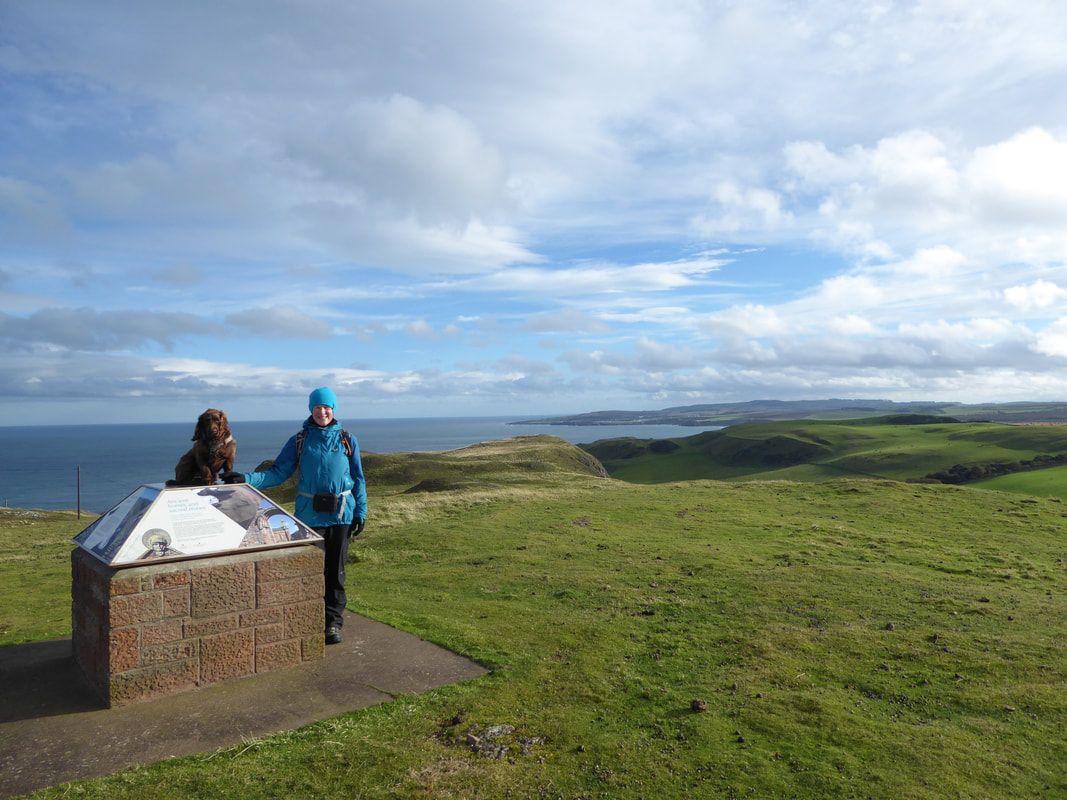
With Fudge at the information board on St Abbs Head
It was lovely here - we had St Abbs Head to ourselves
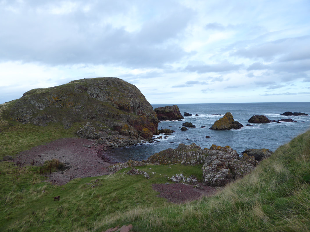
St Abbs Head, Pettico Wick & Thirle Bay
Another St Abbs Head panoramic (click on the image for an enhanced pic)
Zooming in on Bass Rock
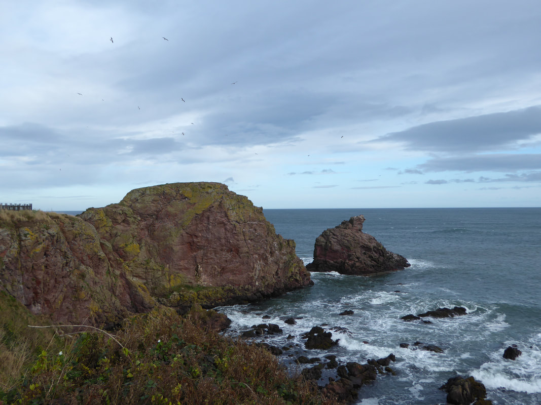
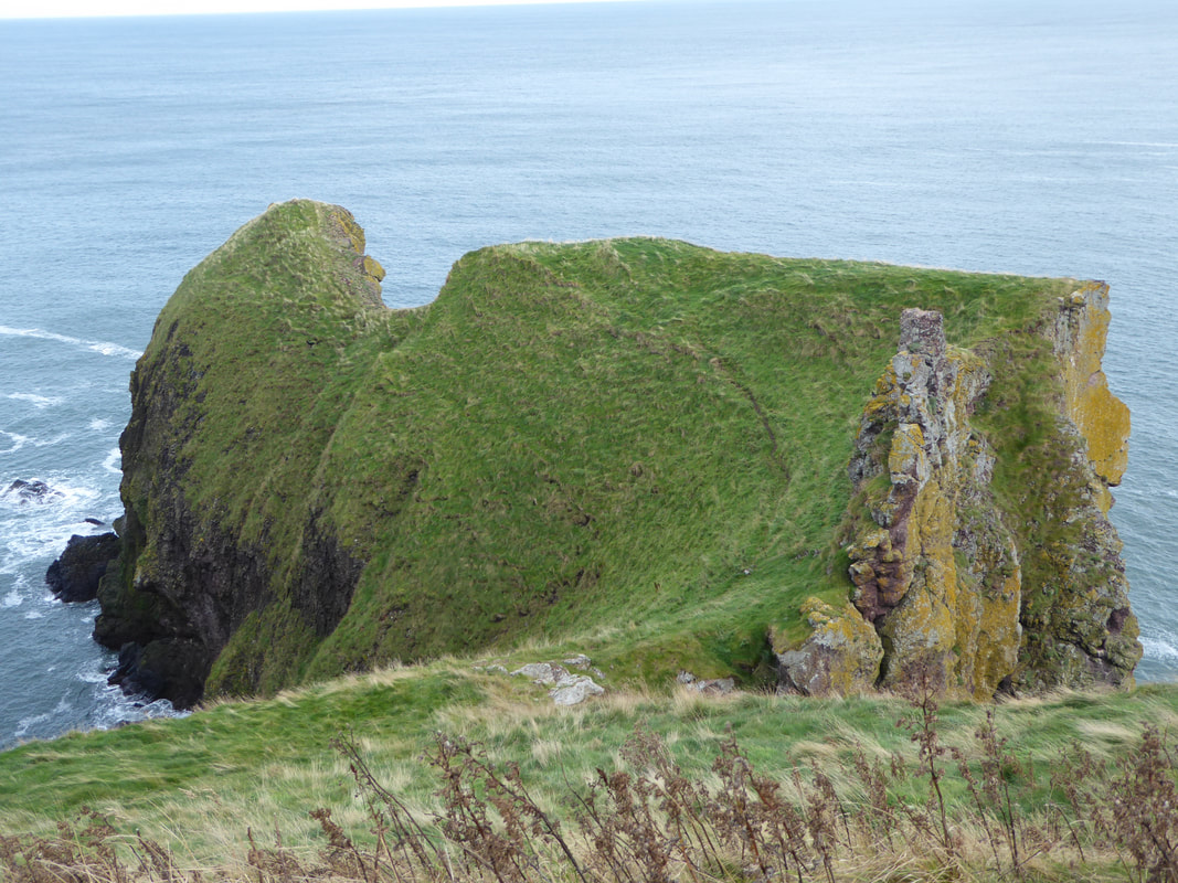
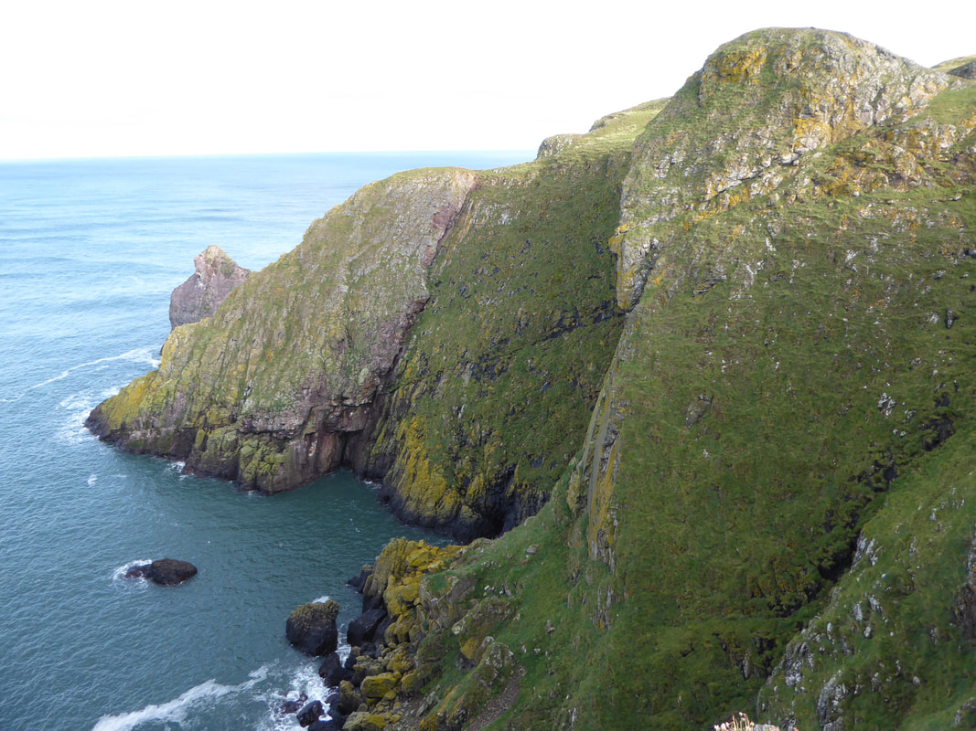
Another view of the rocks at St Abbs Head
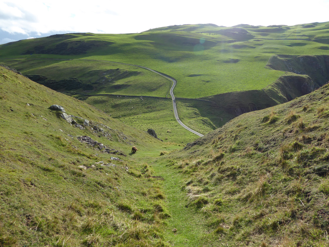
The descent to the road at St Abbs Head
The weather was starting to brighten up as we turned inland
Mire Loch - a freshwater loch that is part of the St Abbs Nature Reserve
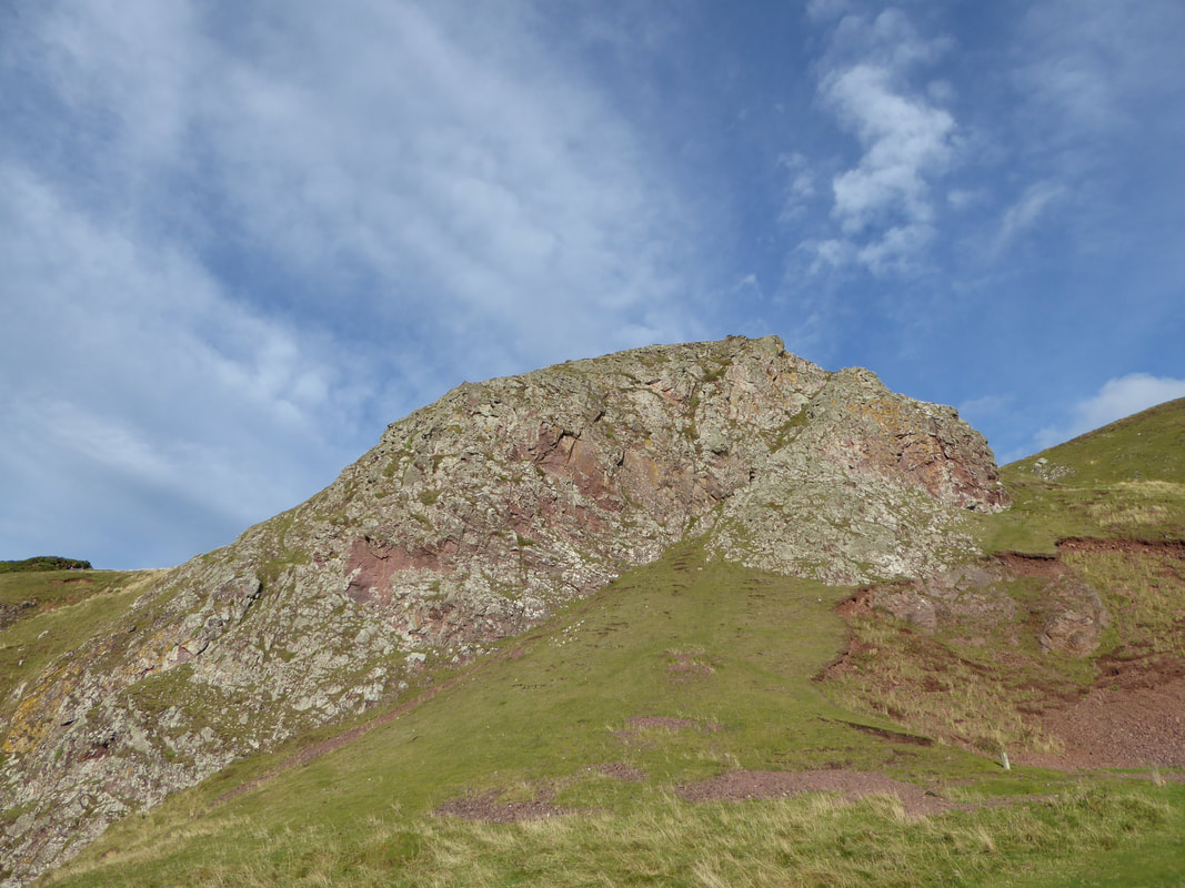
Superb rock formation on St Abbs Head
On the return route to St Abbs, White Heugh comes into view again
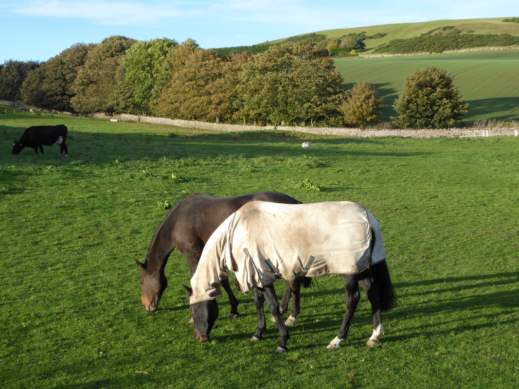
Even Horses feel the cold in October
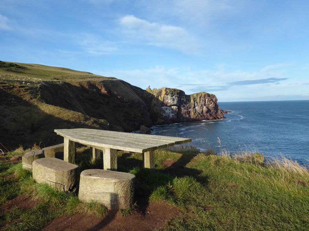
What a lovely place to stop and enjoy the view
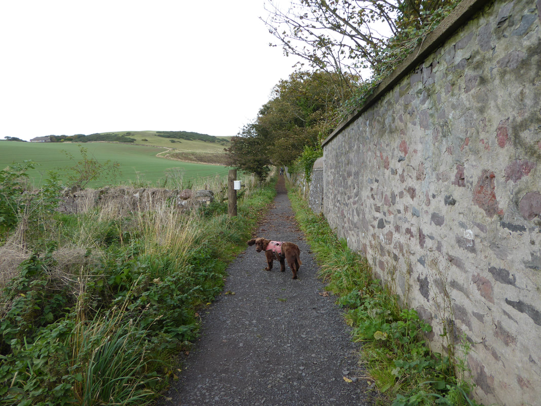
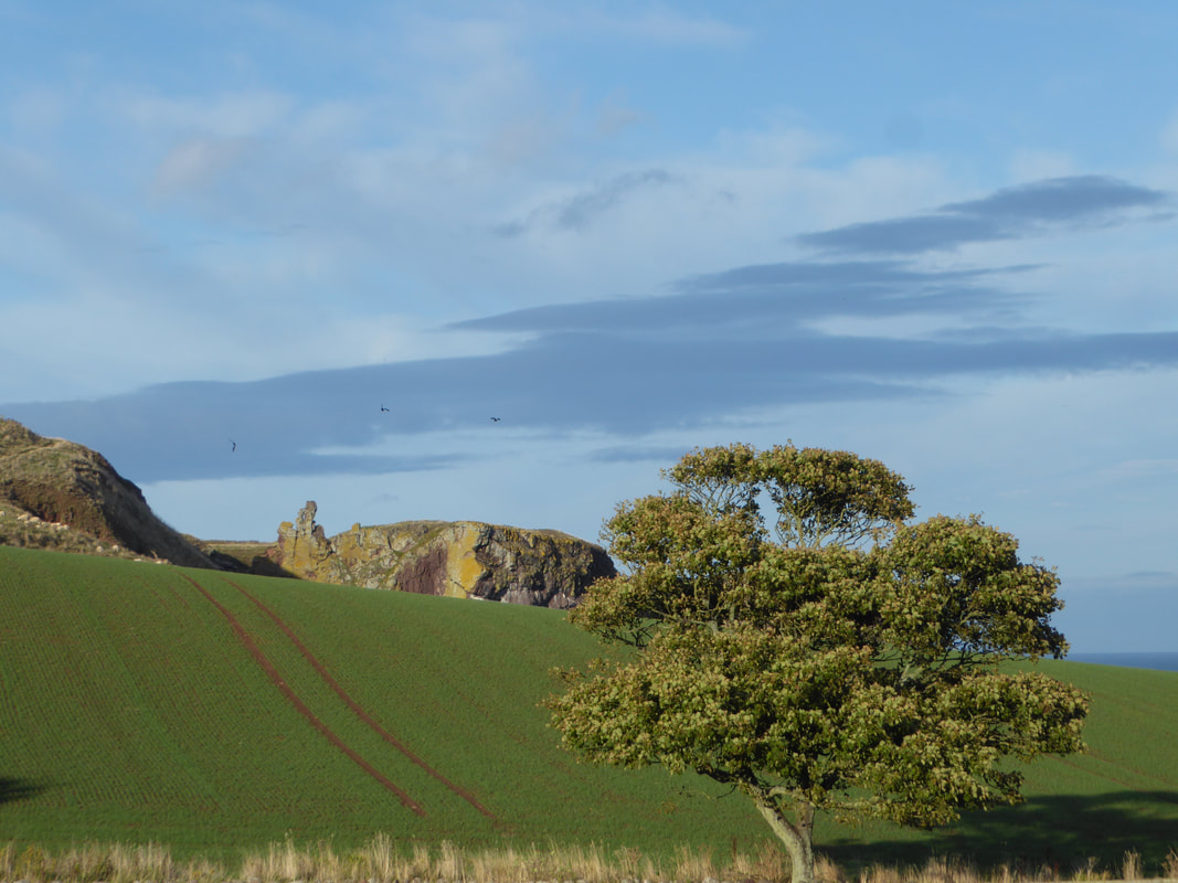
A lovely tree lined path near Northfield
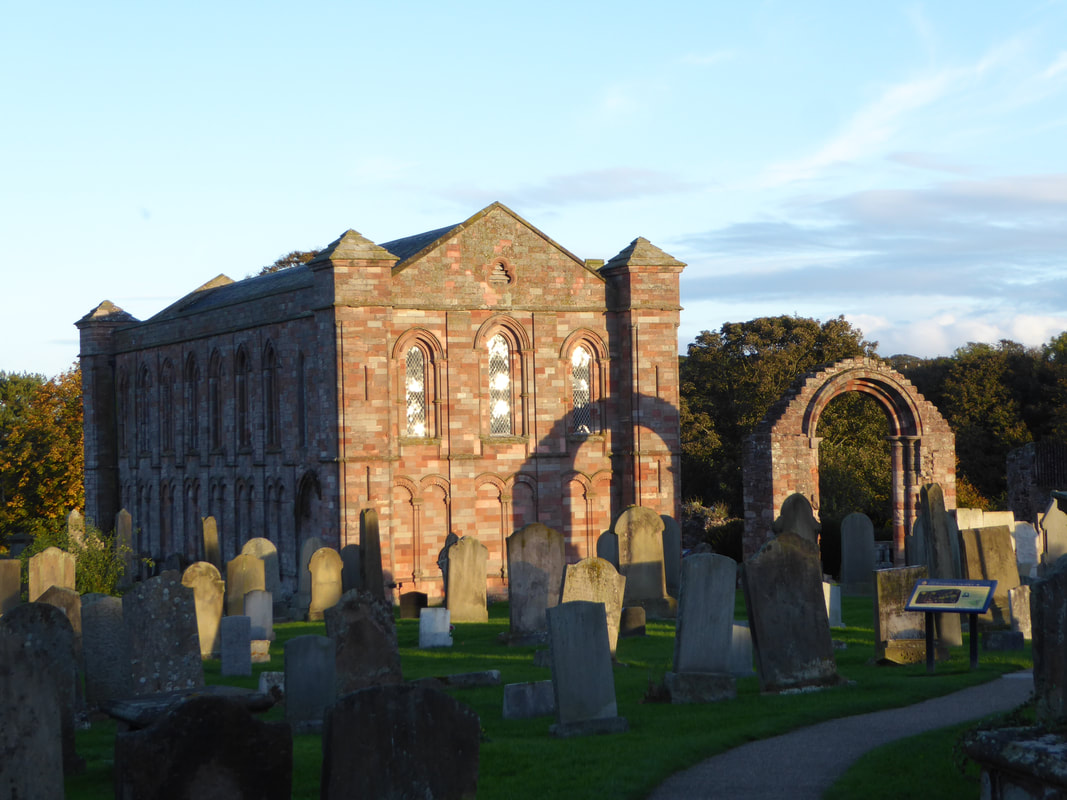
The Benedictine Priory at Coldingham
