Crib Goch, Garnedd Ugain & Snowdon - Friday 15 October 2021
Route
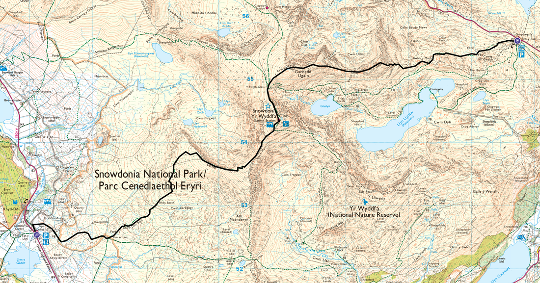
Pen y Pass - Pyg Track - Bwlch y Moch - Crib Goch - Bwlch Coch - Crib y Ddysgl - Garnedd Ugain - Bwlch Glas - Yr Wyddfa (Snowdon) - Rhyd Ddu Path - Bwlch Main - Llechog - Rhos Boeth - Pen ar Lon - Rhyd Ddu
Parking
Start - Pen y Pass Car Park east of Nant Peris (Charge) - Grid Ref SH 6475 5560, nearest postcode is LL55 4NU.
Finish - Rhyd Ddu Station (Charge) - Grid Ref SH 5712 5257, nearest postcode is LL54 6TH.
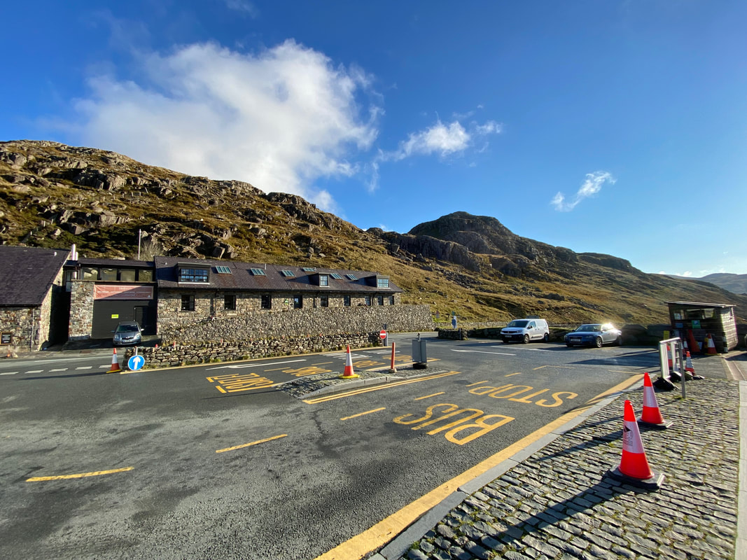
Pen y Pass Car Park is a busy place. It was lucky for me today that Angie dropped me off and I did a linear walk over to Rhyd Ddu as parking at the Pass is a nightmare. Simply turning up expecting a spot just isn't going to happen. A website providing information about the Car Park is here.
Mileage
7.5 miles
Terrain
The knife edged arête of Crib Goch is a Grade 1 Scramble which means that the competent scrambler should not require ropes and therefore not find any technical sections beyond their capabilities. It is not a route for the inexperienced. The exposure along the crest of the mountain is considerable and sustained meaning that if you do not have a head for heights then this scramble may not be for you. On this day for much of the early part of the route I was behind one chap who was having an awful time and struggled getting along the arête. It should certainly not be attempted in poor conditions such as high winds and constant rain. In winter it should not be attempted unless experienced in these conditions - it is a full on winter mountaineering traverse requiring more technical skills than winter walking.
Crib Goch is no place for a dog - in my opinion.
In summary, it is the hardest and most difficult ascent of Snowdon and should only be attempted if you are competent enough to do so.
Weather
Perfect. No wind, glorious sunshine with excellent visibility.
Time Taken
5hrs 35mins
Total Ascent
2719ft (829m)
Map
OL17 Snowdon (Yr Wyddfa)
Walkers
Dave
|
GPX File
|
| ||
If the above GPX file fails to download or presents itself as an XML file once downloaded then please feel free to contact me and I will send you the GPX file via e-mail.
Route Map
The walk started from the Car Park at the top of the Pen y Pass. Details of parking arrangements for this popular start point are at the link above under "Parking". I was fortunate today in that Angie dropped me off and drove around to Rhyd Ddu to pick me up.
From the Car Park the route to Crib Goch follows the Pyg Track
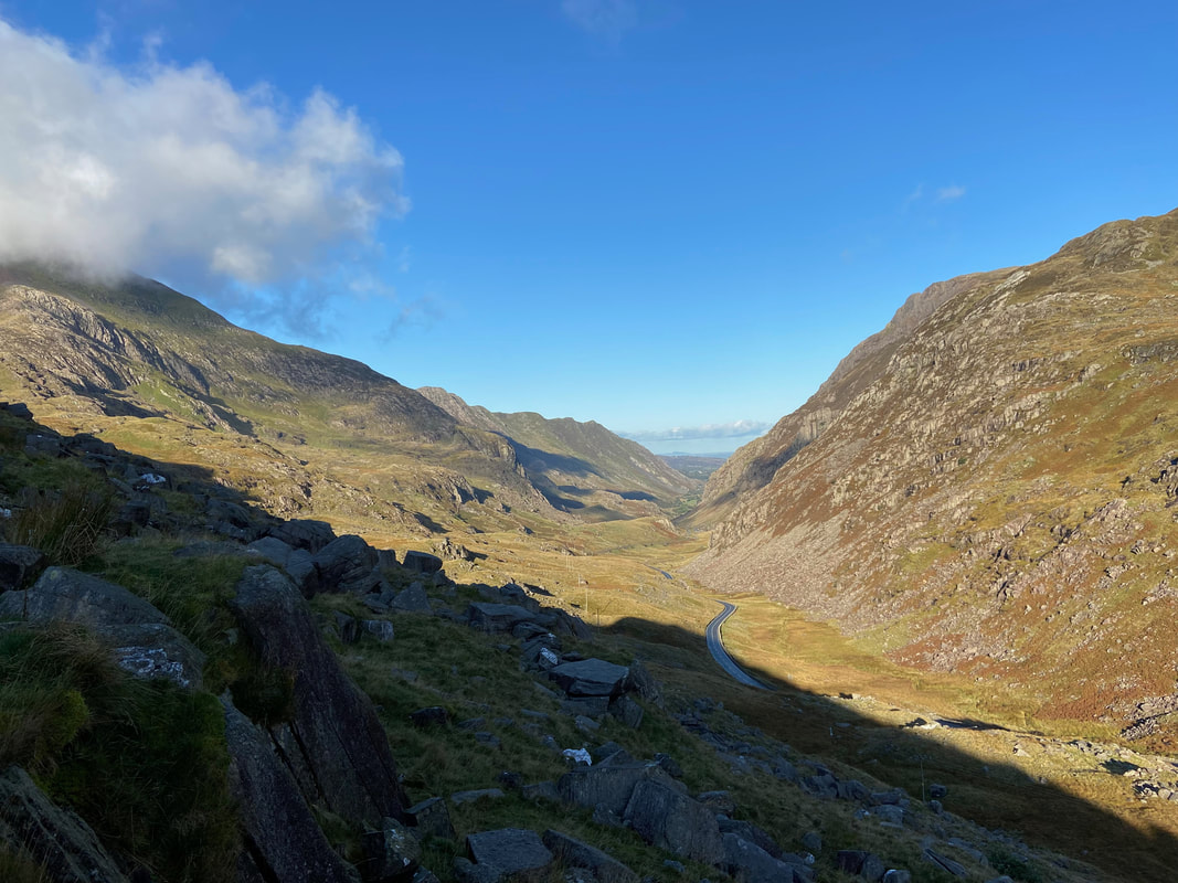
Looking down the Pass of Llanberis from the Pyg Track
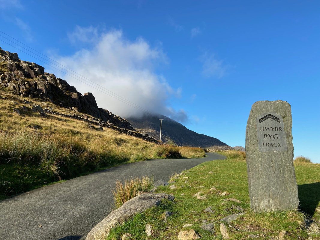
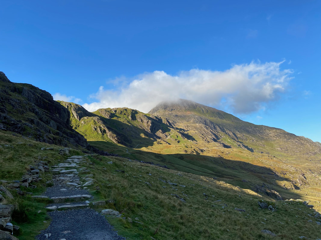
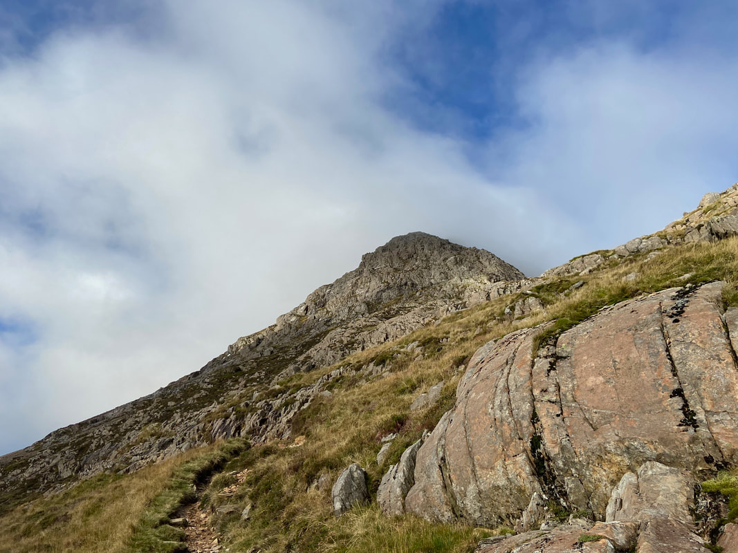
The Pyg Track route up Snowdon with the start of Crib Goch ahead. Despite the weather looking really promising, the cloud up ahead had me worried. It was at this point I just hoped that I could make the crossing in good visibility.
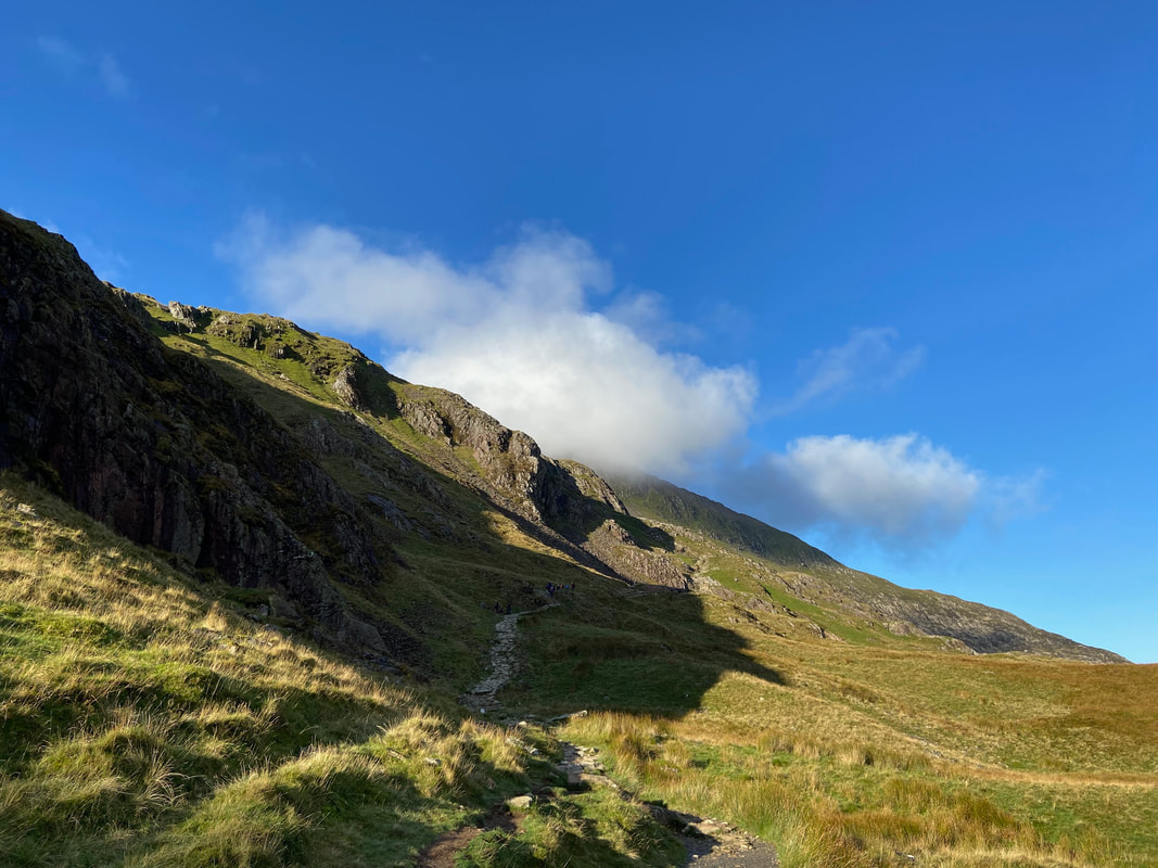
As you would expect, the Pyg Track gets a fair bit of a hammering from the many boots that make their way up to Snowdon. Despite this, the path is very well maintained and was a nice bit of easy walking before the scrambling started later.
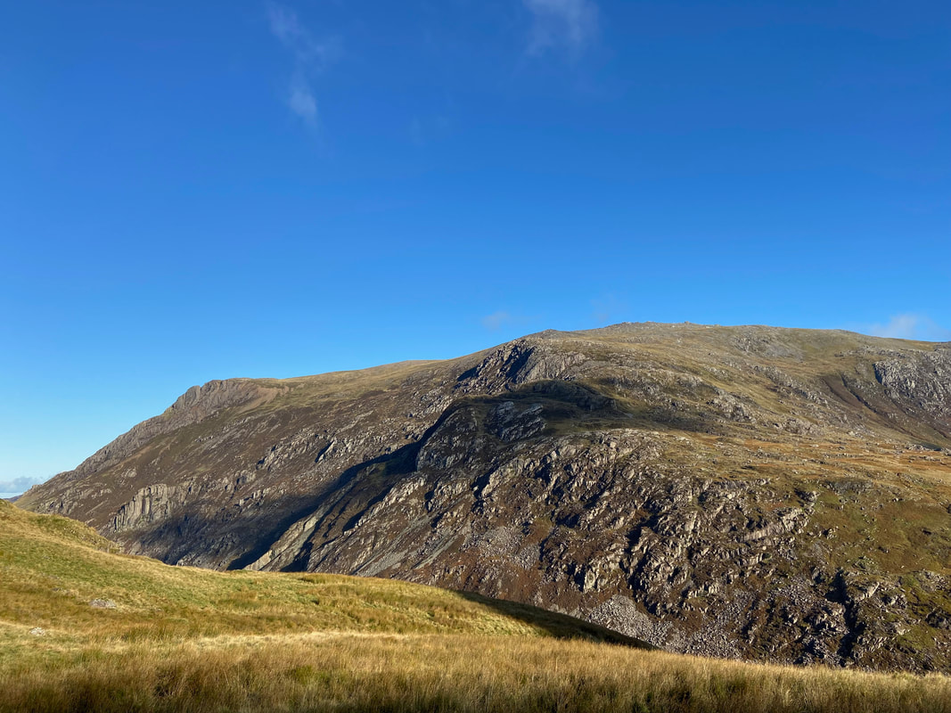
Glyder Fawr across the Pass of Llanberis from the Pyg Track
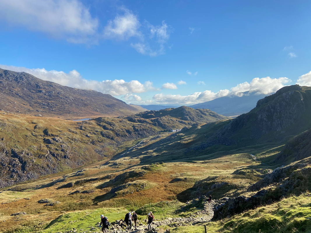
Looking back down the Pyg Track to the Pen y Pass with Llyn Cwnffynnon just about visible to the left and Moel Berfedd centre. I passed a fair few people on my way up all of which were continuing on to Snowdon via the Pyg Track.
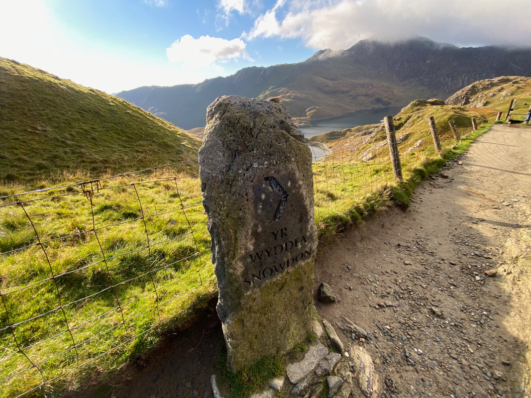
Arriving at Bwlch y Moch. I get the feeling the signs have been strategically placed for the route up Snowdon. This sign is at the point where the path to Crib Goch leaves the Pyg Track to the right with the main route continuing on. The sign for Crib Goch is a hundred yards or so on up the right hand fork and I imagine that if placed directly at the fork, it could encourage people to give it a go rather than continuing along the Pyg Track.
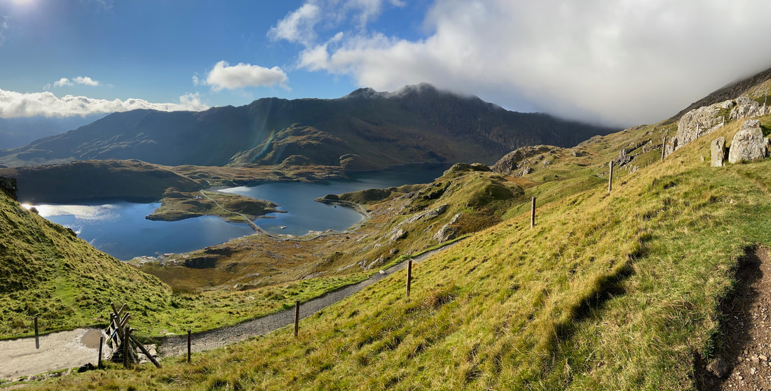
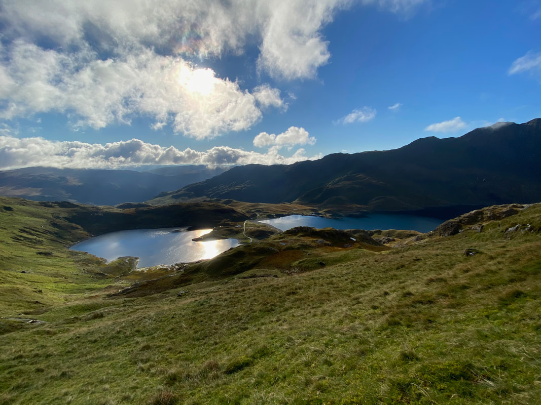
Just above the path junction at Bwlch y Moch with the Pyg Track continuing on over the two stiles to the left. Llyn Llydaw sits below with the causeway clearly visible. The impressive sight of Y Lliwedd provides an impressive backdrop.
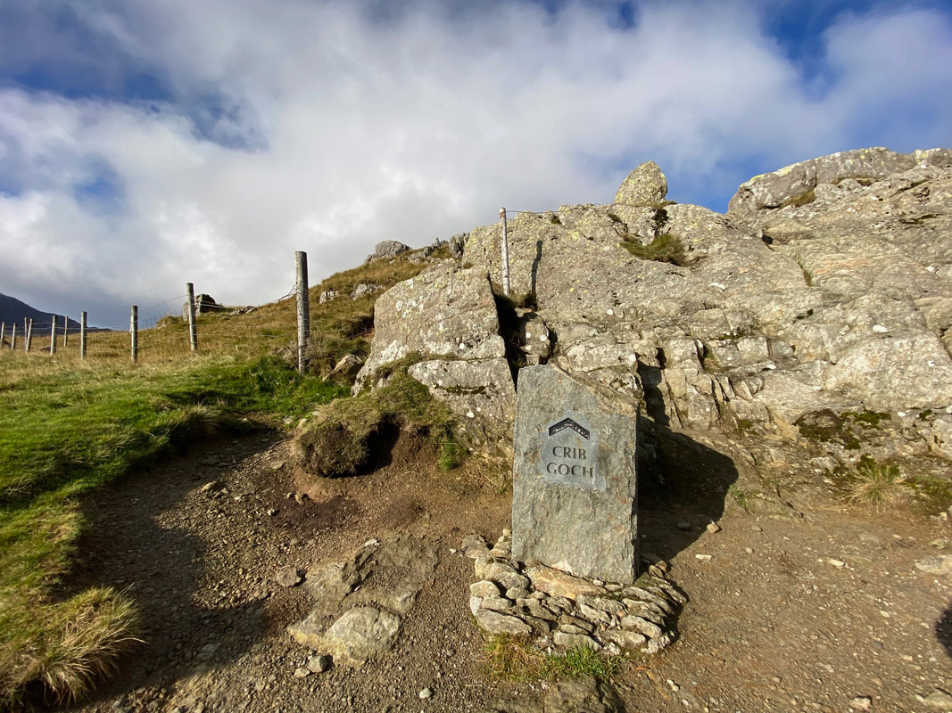
The sign for Crib Goch sits a 100 or so yards to the west of Bwlch y Moch. Crib Goch translates as "Red Ridge".
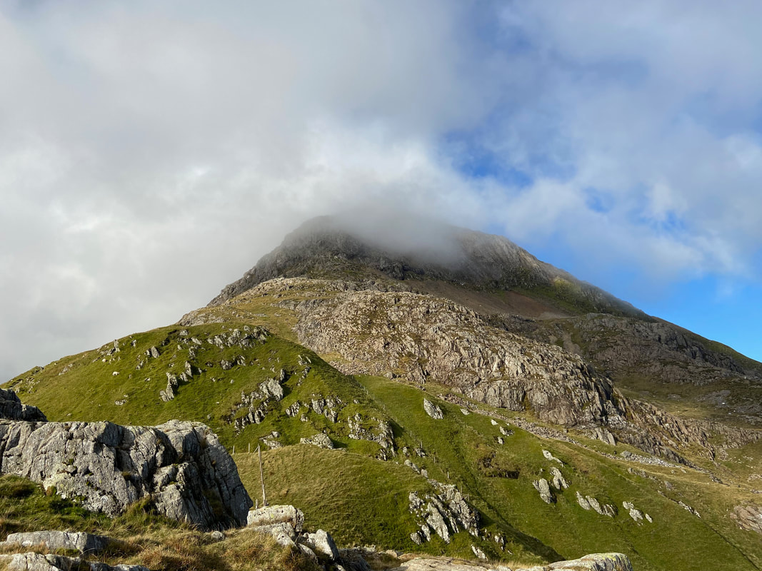
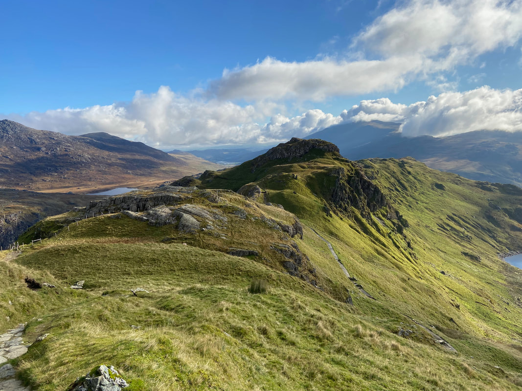
Before the real climbing starts, the route undulates over a couple of rocky crests
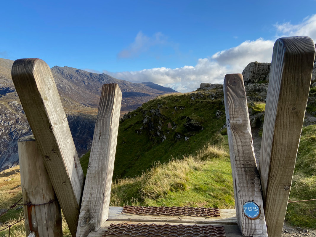
Such a good idea and I have only ever seen them on stiles in Snowdonia. If somebody is lost on the mountain and happens upon a stile, the Grid Reference should enable the person to establish where they are - of course that is providing they have a map & compass and basic navigation skills.
Looking back along the ridge near Bwlch y Moch - the stile in the previous picture can be seen on the left.
It was turning out to be a beautiful day as I look down on Llyn Llydaw and the Causeway
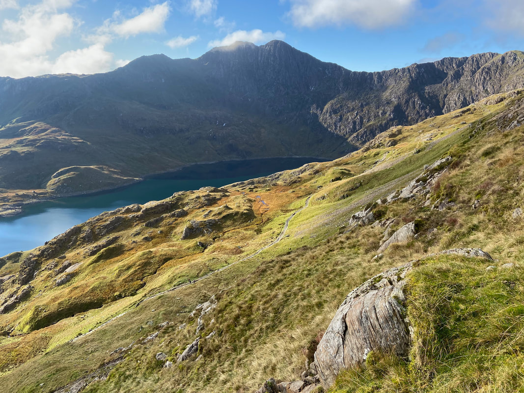
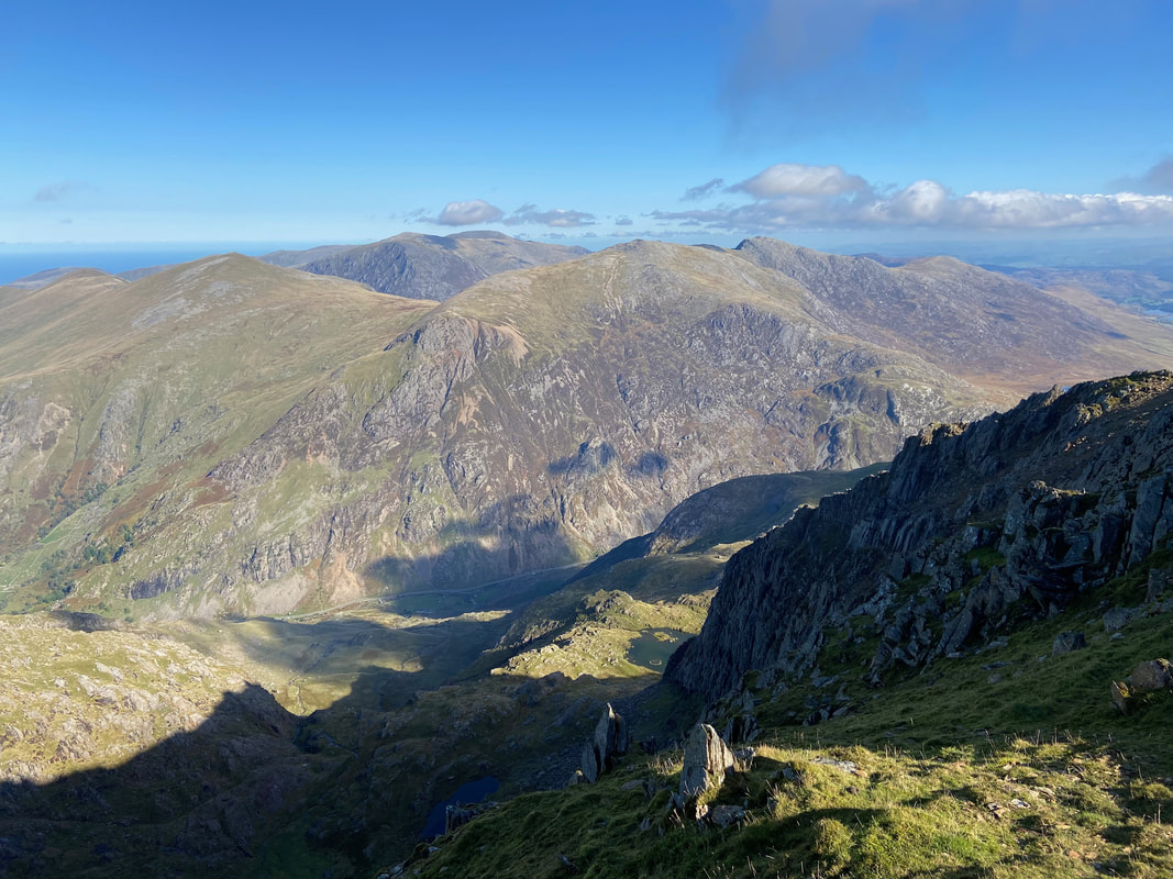
The western end of Llyn Llydaw and Bwlch Ciliau with Y Lliwedd towering above
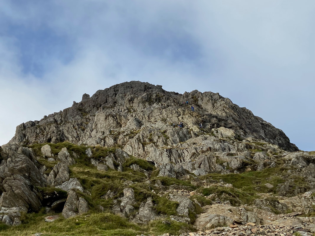
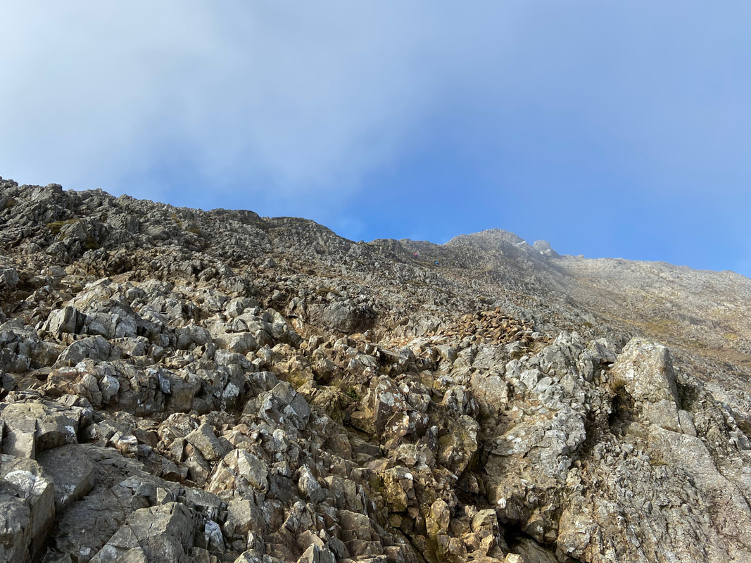
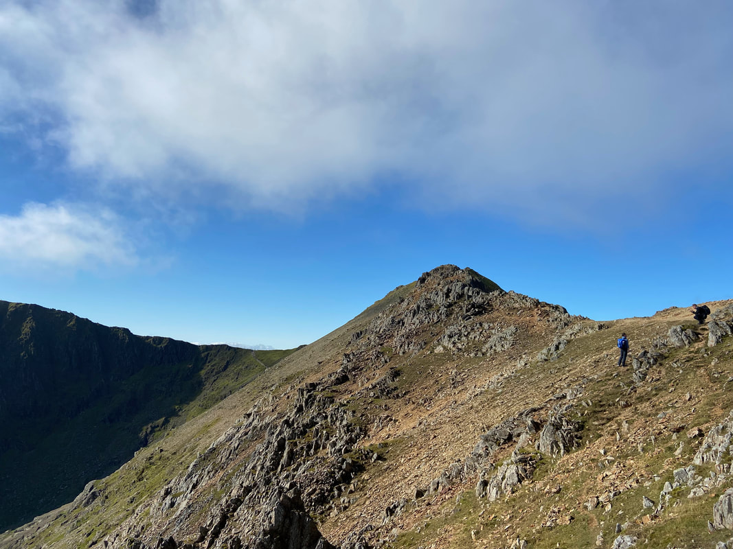
The path leads up to a solid wall of rock just below the beginning of the arête. This is a good introduction to what lies ahead and is the first chance to get some hands on rock.
At the base of the rock wall. Since leaving the stile these were the first people I had seen. It was a lovely day and despite there being a few people ahead of me it wasn't busy - perhaps 10 people on the entire arête as I made my way over.
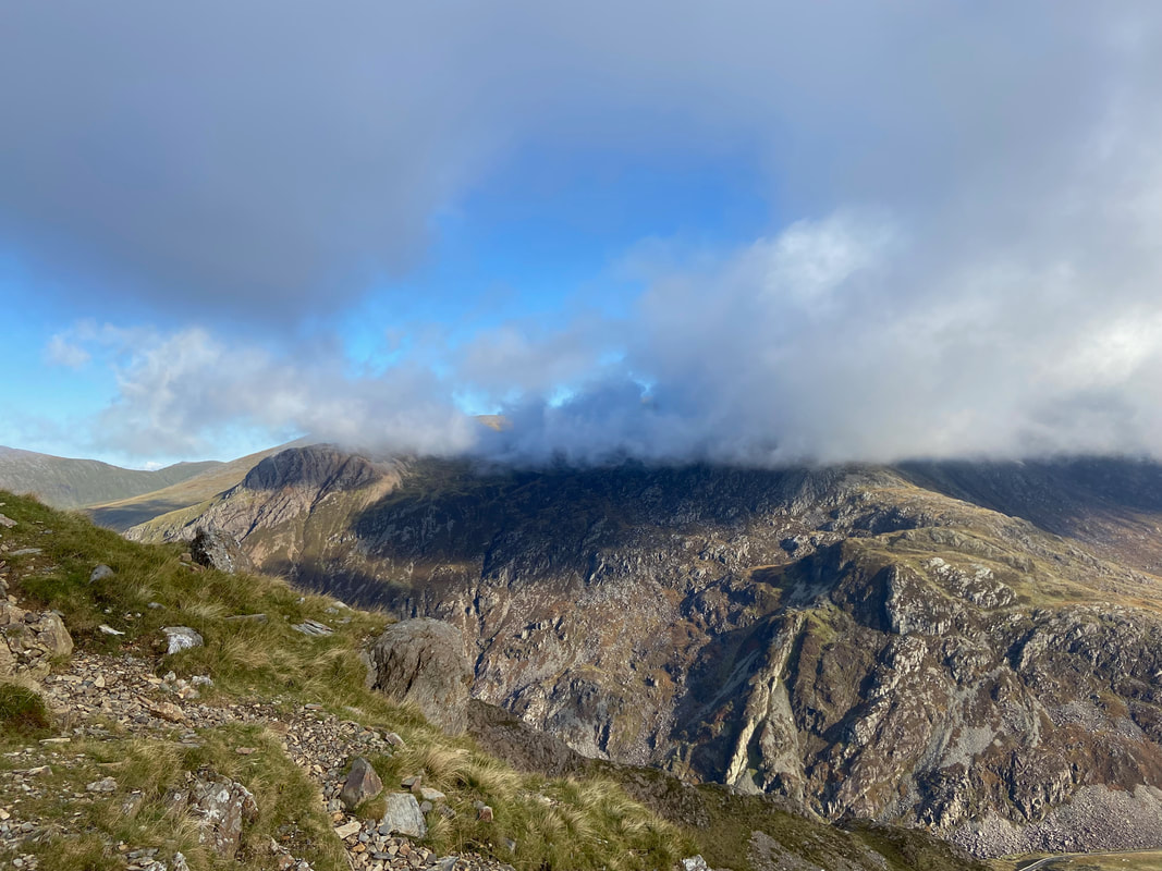
The Glyders with a cloudy hat on from the ascent of the rock wall
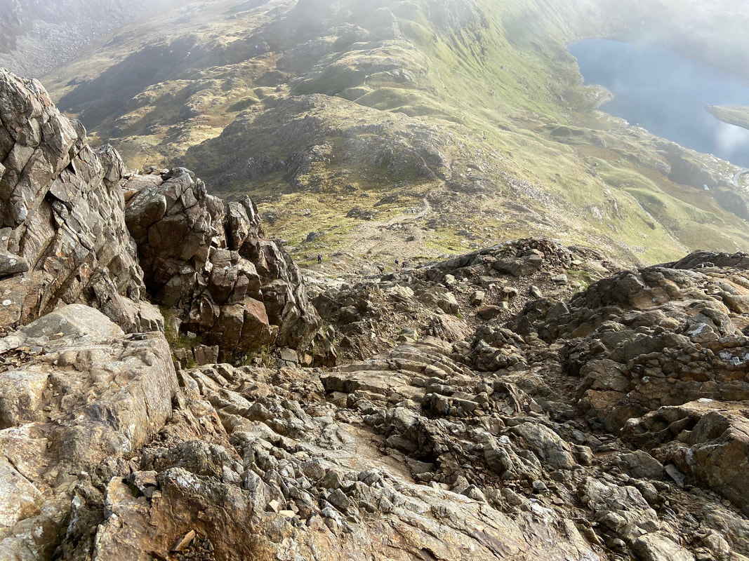
Looking down to the start of the ascent up the rock wall. There were plenty of foot and hand holds here and it was an enjoyable scramble up.
As the crest of the rock wall is gained the ridge starts to narrow. As can be seen, the cloud was beginning to move away and reveal blue sky - hopefully I had timed it right and would have a clear crossing.
Up at the top of the rock wall looking down on Bwlch y Moch as the last of the cloud passes over me.
Up we go as I start the narrow section that leads to the start of the arête. I was following the two lads ahead of me and when I caught up with them we continued on together. They were Windy & Jamie from Burnley and were up here for the day.
Almost caught up with Windy & Jamie now as I approach the eastern end of the arête
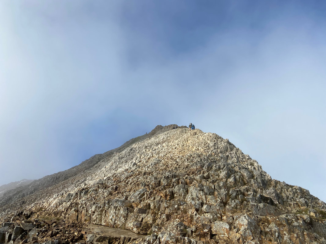
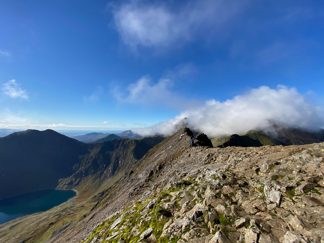
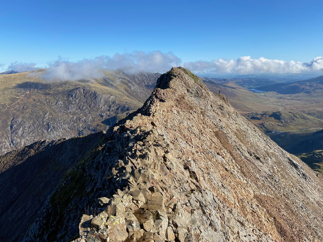
The start of the arête and what a wonderful sight. Snowdon was just getting the last of the cloud and this would soon clear.
The exciting arête of Crib Goch (click on Play to view)
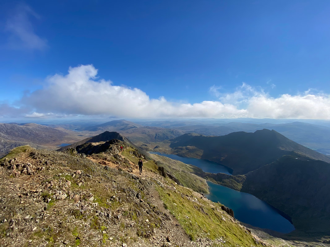
Windy & Jamie begin their crossing as I pause to look at what lies ahead - this was going to be a lot of fun. Snowdon has just revealed itself as the cloud passes over Garnedd Ugain. Llyn Glas sits below to the right.
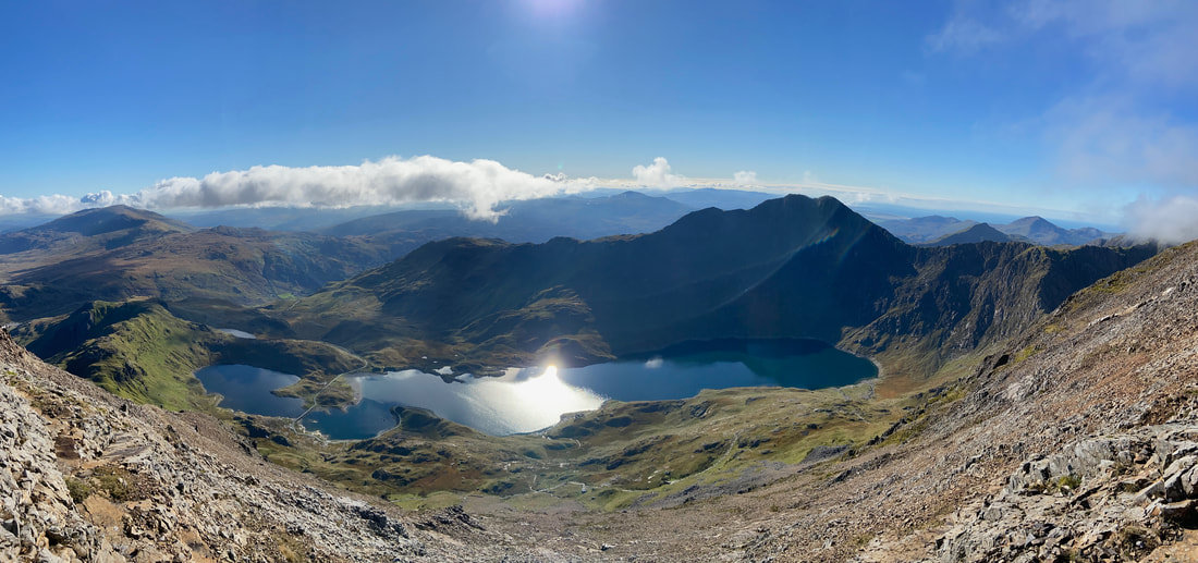
A panorama from Crib Goch looking over Llyn Llydaw to Y Lliwedd
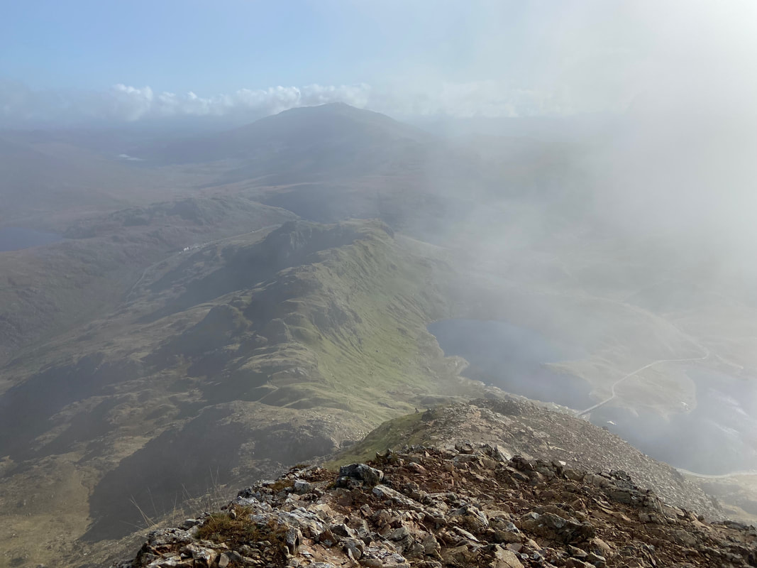
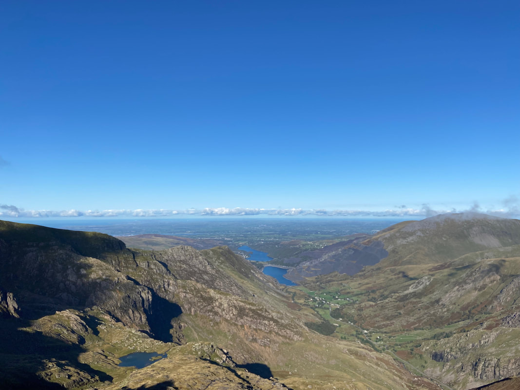
Llanberis, Llyn Padarn and Llyn Peris from Crib Goch with Elidir Fawr over to the right
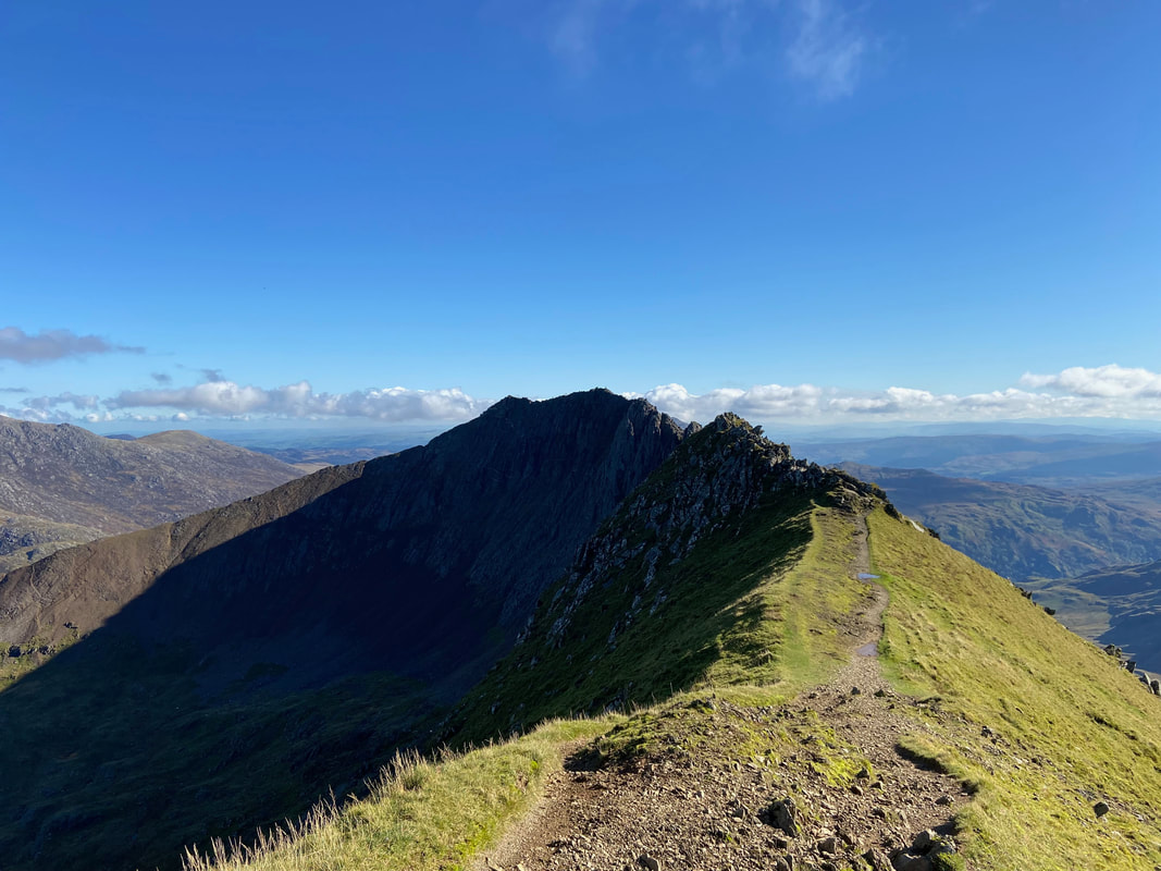
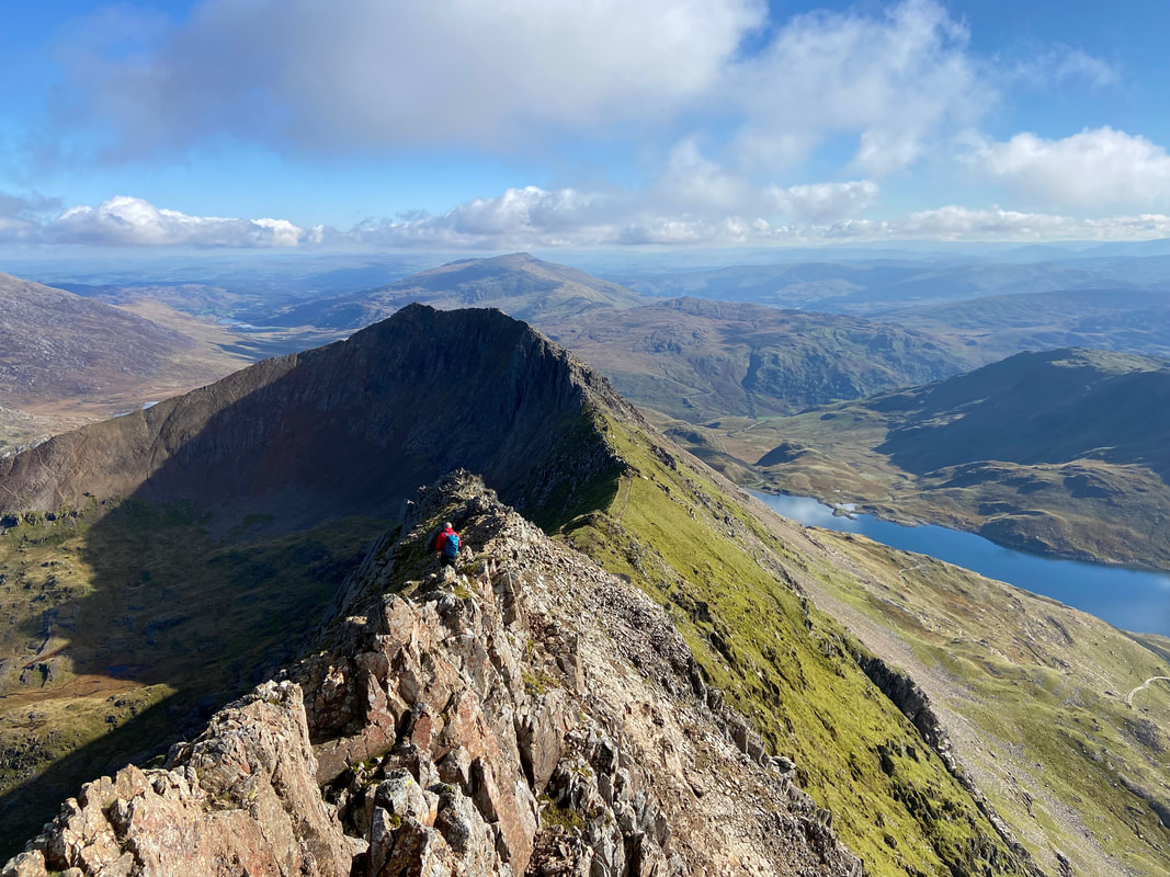
Looking back along the arête from near the summit of Crib Goch
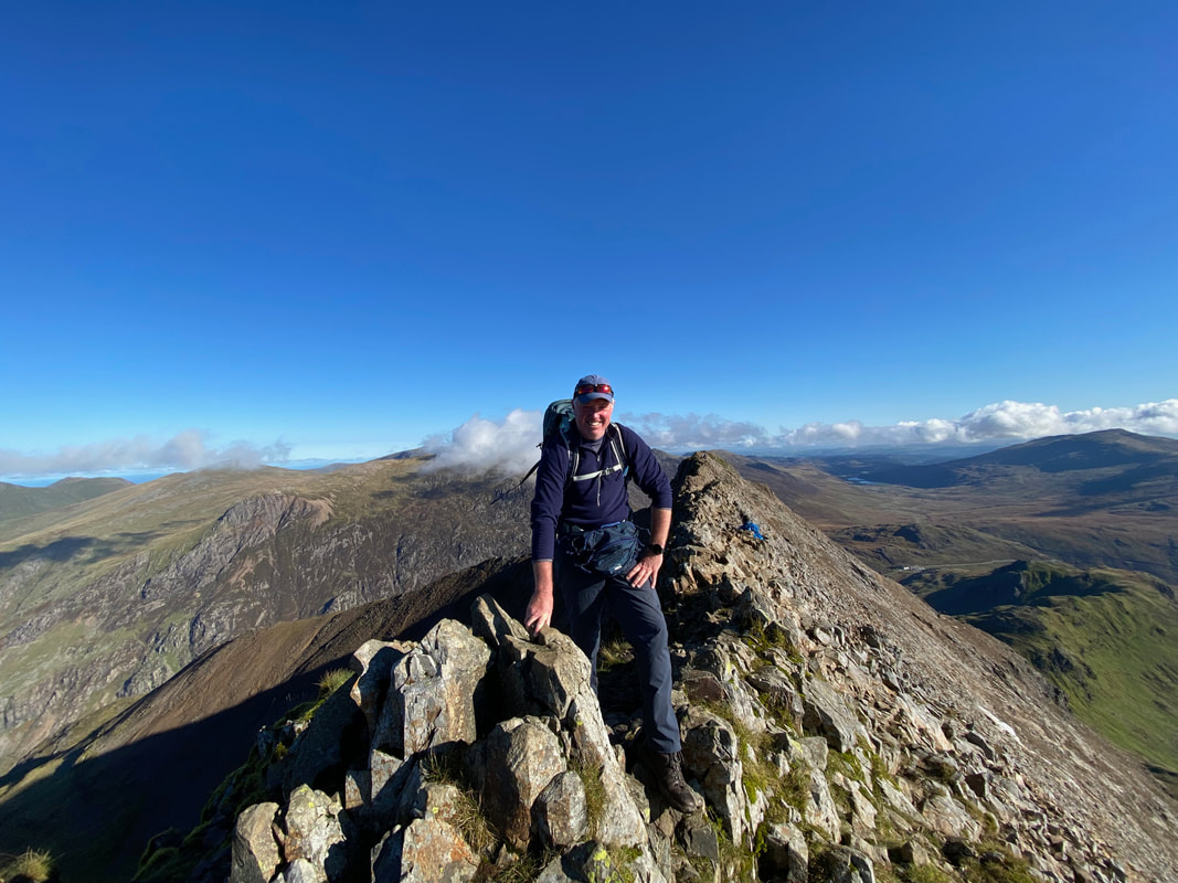
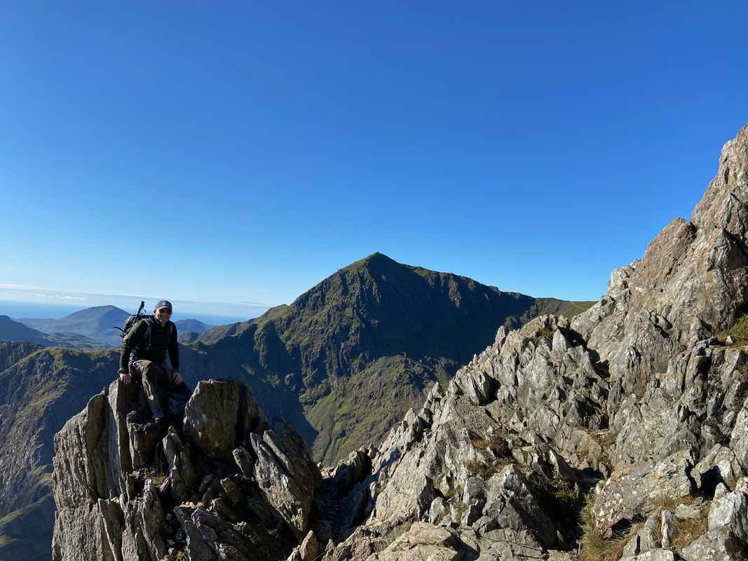
Me on the summit of Crib Goch (3028ft, 923m) - thank you Windy for taking the photograph
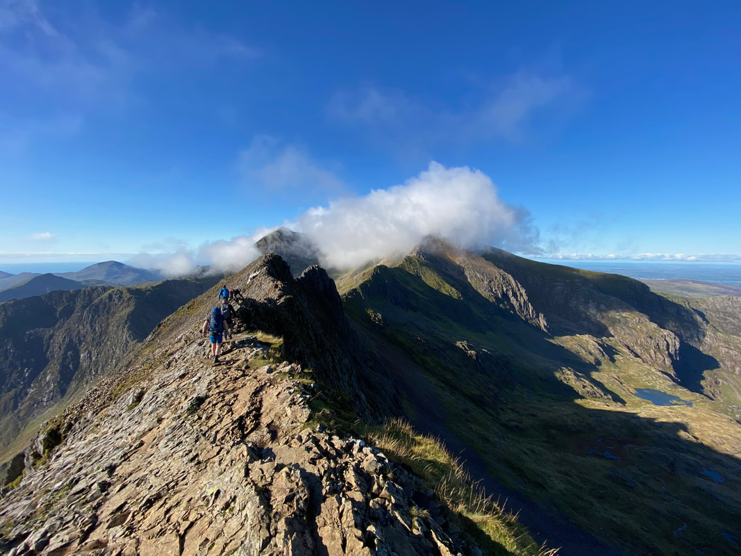
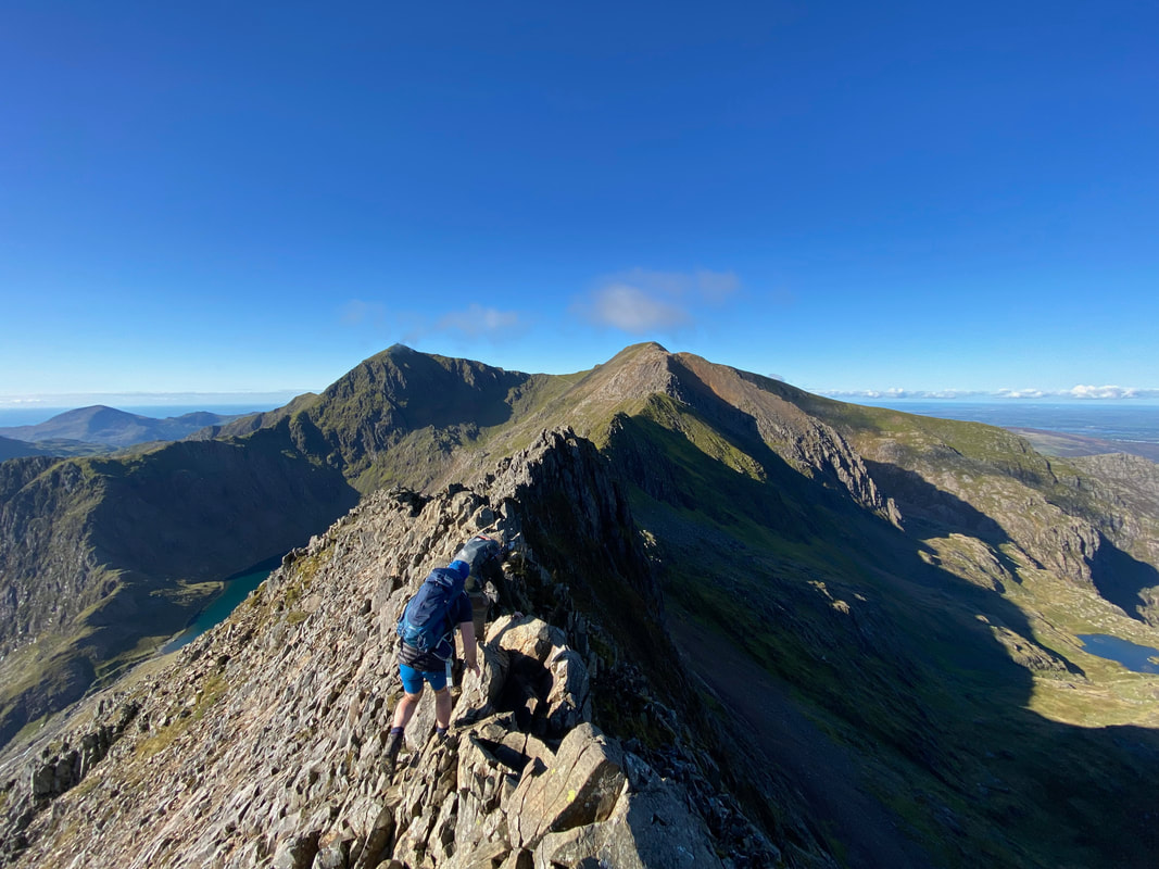
From the summit the arête continues along its knife edge with Snowdon & Garnedd Ugain now clear of cloud
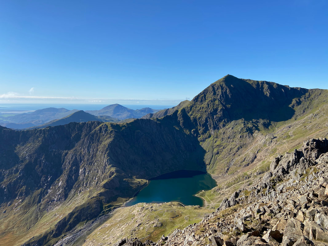
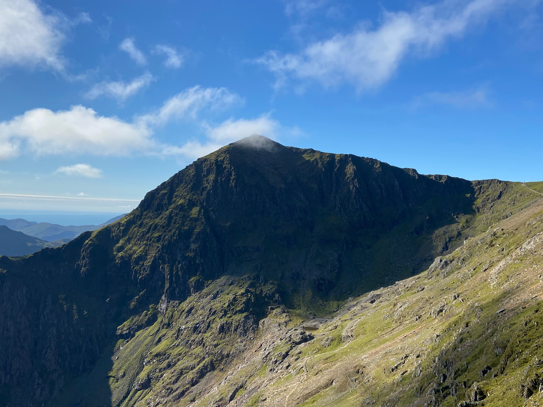
Snowdon from Crib Goch with Glaslyn below
A great pic of Windy near the Pinnacles looking over to Snowdon
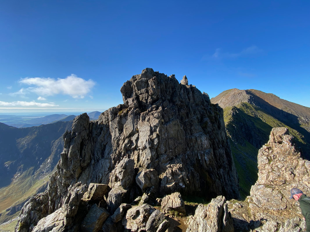
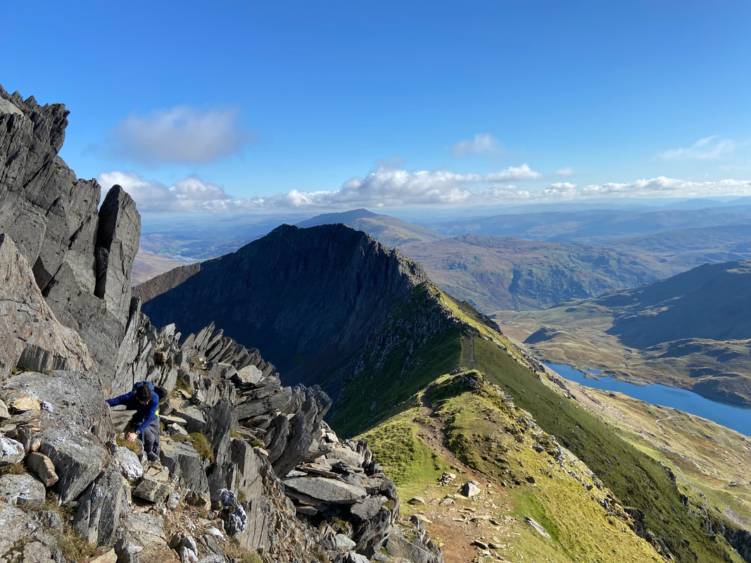
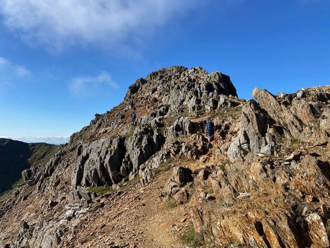
The Pinnacles on Crib Goch - I found the best way up and over is to keep to the right where there are plenty of hand & foot holds
The superb view to Snowdon & Garnedd Ugain from the top of the Pinnacles - Bwlch Coch sits below. The fun wasn't over yet as the transit over to Garnedd Ugain is pretty tricky as will be seen shortly.
Bwlch Coch looking back to the descent from the Pinnacles
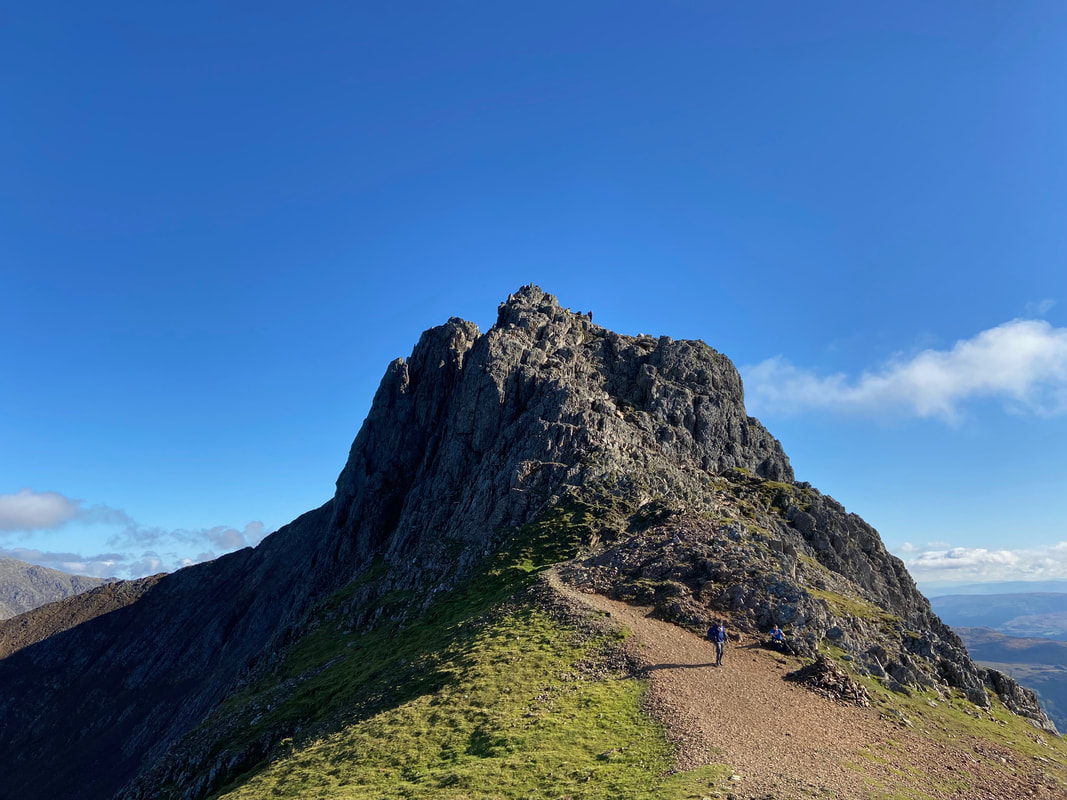
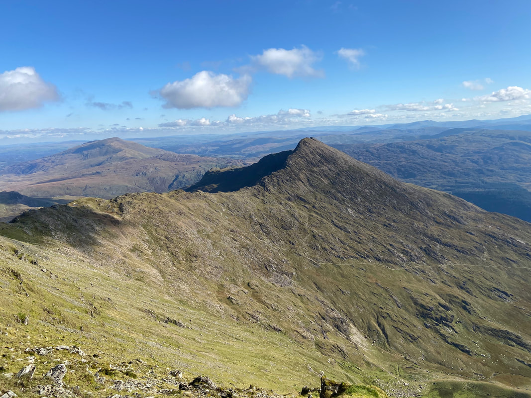
Crib Goch from below Crib y Ddysgl
Snowdon from the ascent of Garnedd Ugain - the Pyg & Miners Track junction can be seen in the bottom centre of shot
A short rocky scramble starts the ascent of Crib y Ddysgl to Garnedd Ugain - what a view back that is.
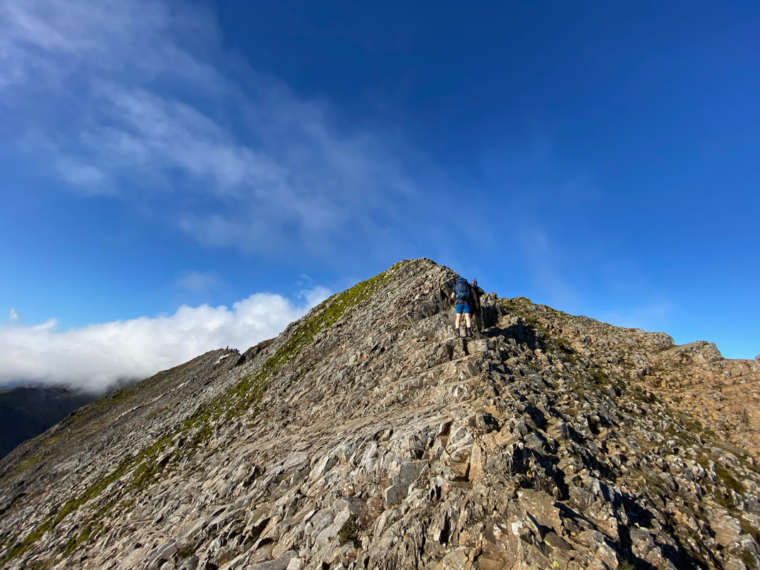
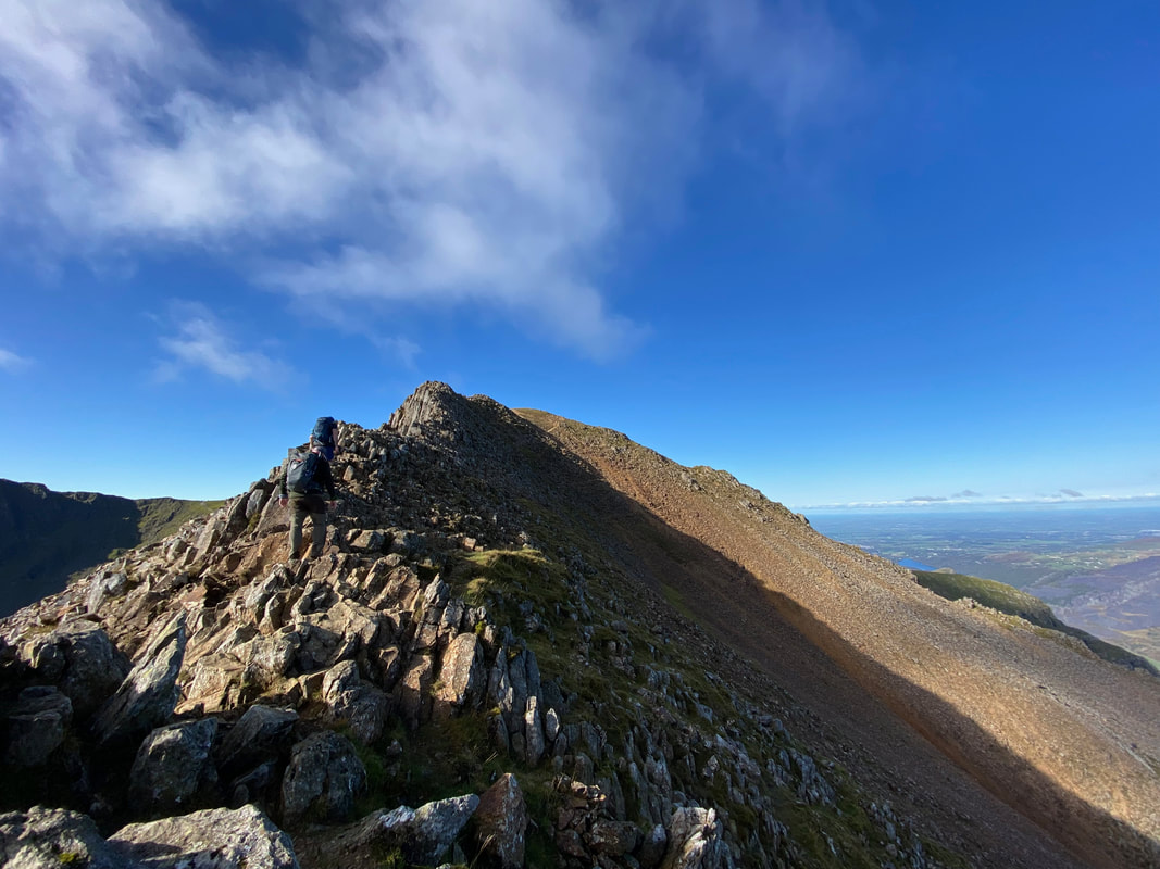
The climb along the arête of Crib y Ddysgl to Garnedd Ugain is less demanding than Crib Goch but still requires care & attention
Crib Goch, & Bwlch Coch from the ascent of the arête to Garnedd Ugain
Approaching the summit of Garnedd Ugain
Elidir Fawr, Carnedd y Filiast, Mynydd Perfedd, Foel-goch, Y Garn & Pen yr Ole Wen from Garnedd Ugain
The final scramble to the summit of Garnedd Ugain
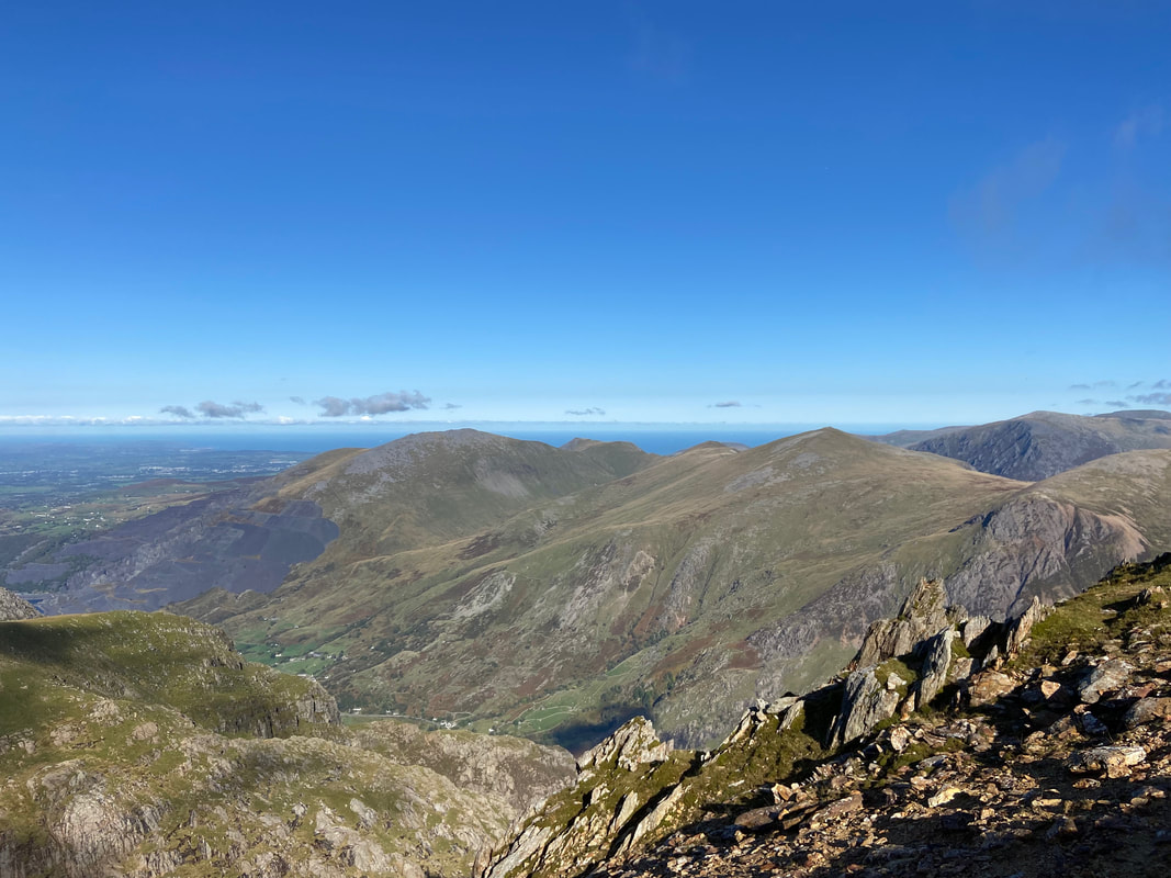
Y Garn & The Glyders from Garnedd Ugain
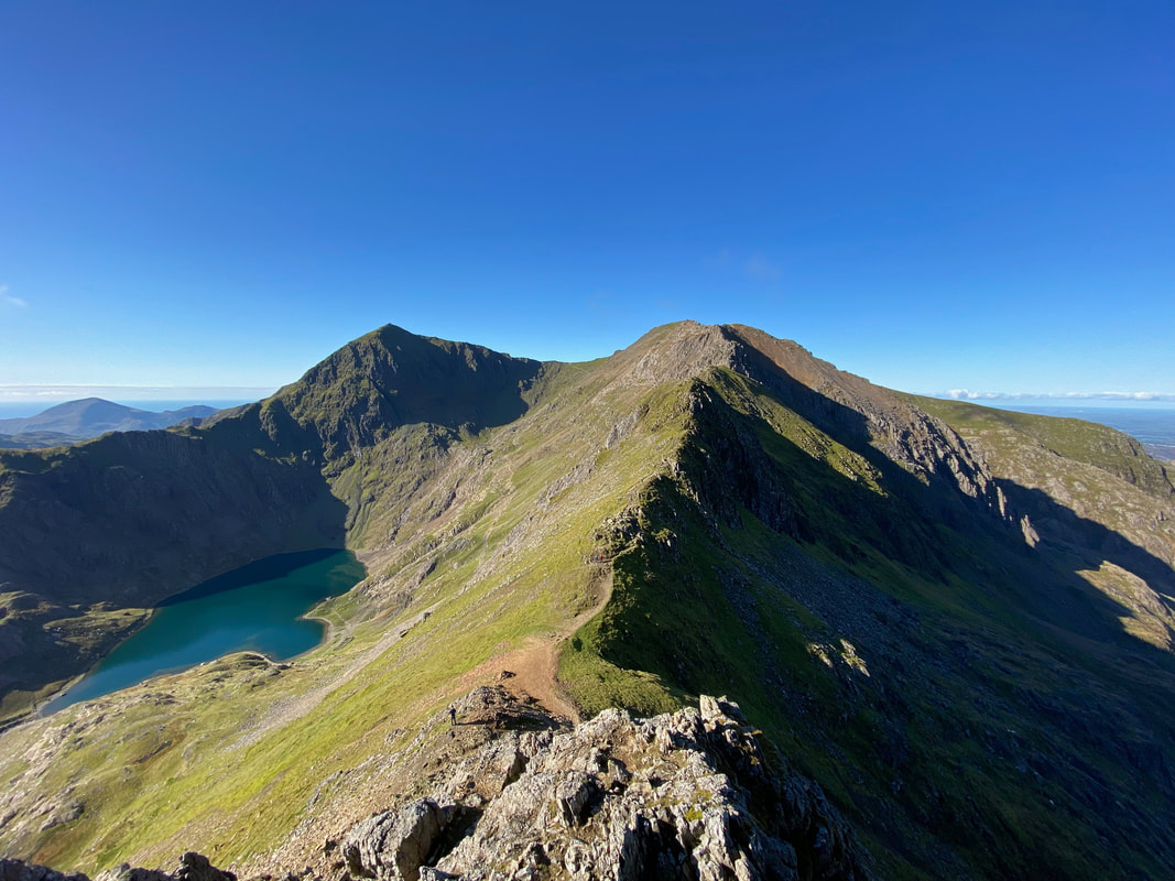
The fantastic view back over Crib Goch & beyond from Garnedd Ugain - on the right hand side is the second part of The Snowdon Horseshoe which heads over Y Lliwedd from Snowdon's summit via Bwlch Ciliau.
From Garnedd Ugain Mynydd Mawr and the Moel Eilio Horsehoe come into view. The Moel Eilio Horseshoe is a fantastic rollercoaster of a walk and our blogs of it can be found here and here
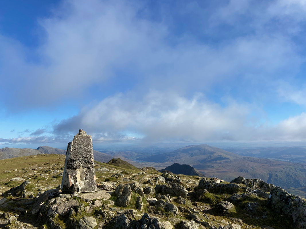
The summit of Garnedd Ugain where the Trig Point seems to be suffering a bit. Both Garnedd Ugain and Crib-y-Ddysgl appear on the Ordnance Survey map however the name Crib-y-Ddysgl (Ridge of the Dish) refers to the east ridge whilst the summit is known as Garnedd or Carnedd Ugain (Cairn of the Twenty - possibly named after the Roman Legion based in nearby Caernarfon).
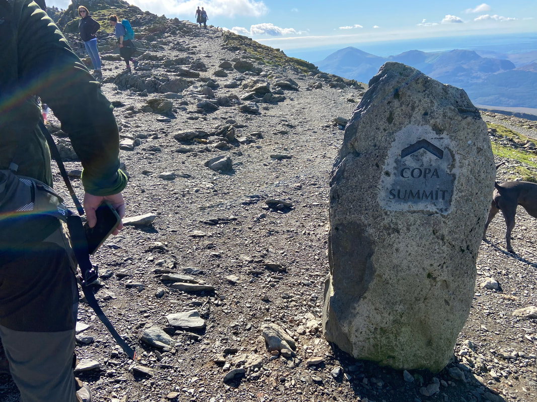
From Garnedd Ugain the route swings around to the south over Bwlch Glas to join the throngs coming up from Llanberis & Rhyd Ddu
There was no doubt which way it was today
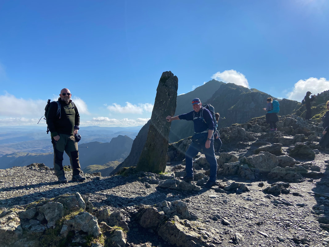
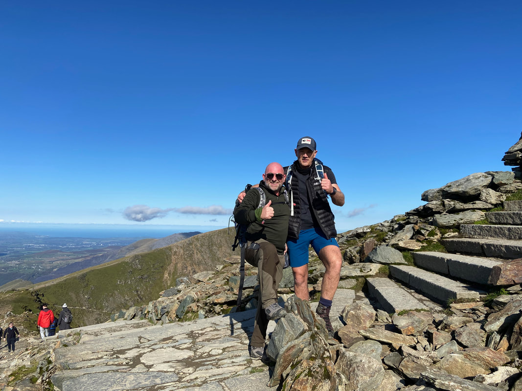
With Windy at the obelisk which stands near the top of the Miners & Pyg Track routes. Unfortunately the sun hit the lens.
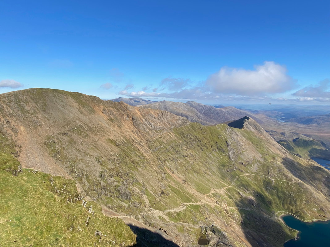
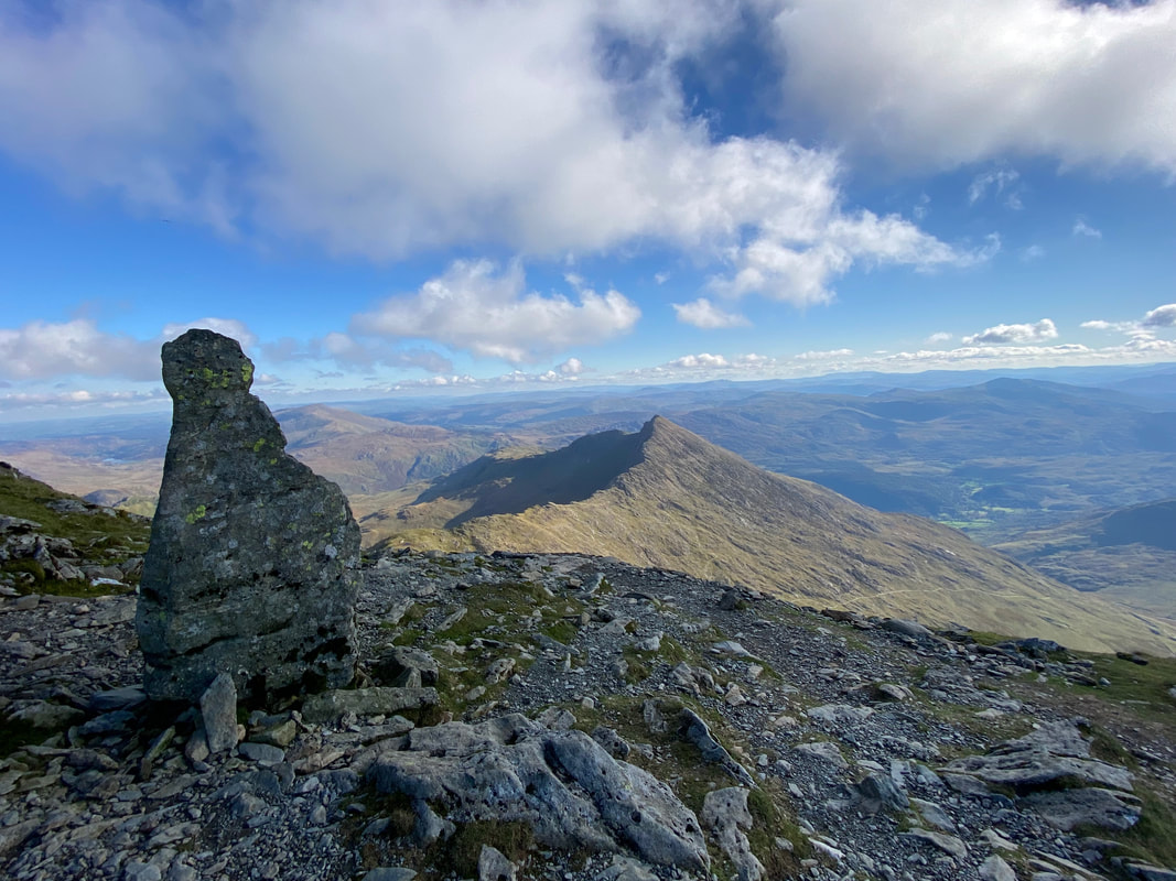
Looking back to our transit over Crib y Ddysgl & Crib Goch with the Miners & Pyg Tracks clearly visible below
The Burnley Boys, Windy & Jamie just below Snowdon. Two great guys who it was a pleasure to have spent a couple of hours with. We parted company below the summit - I hope we get the chance to walk with each other again.
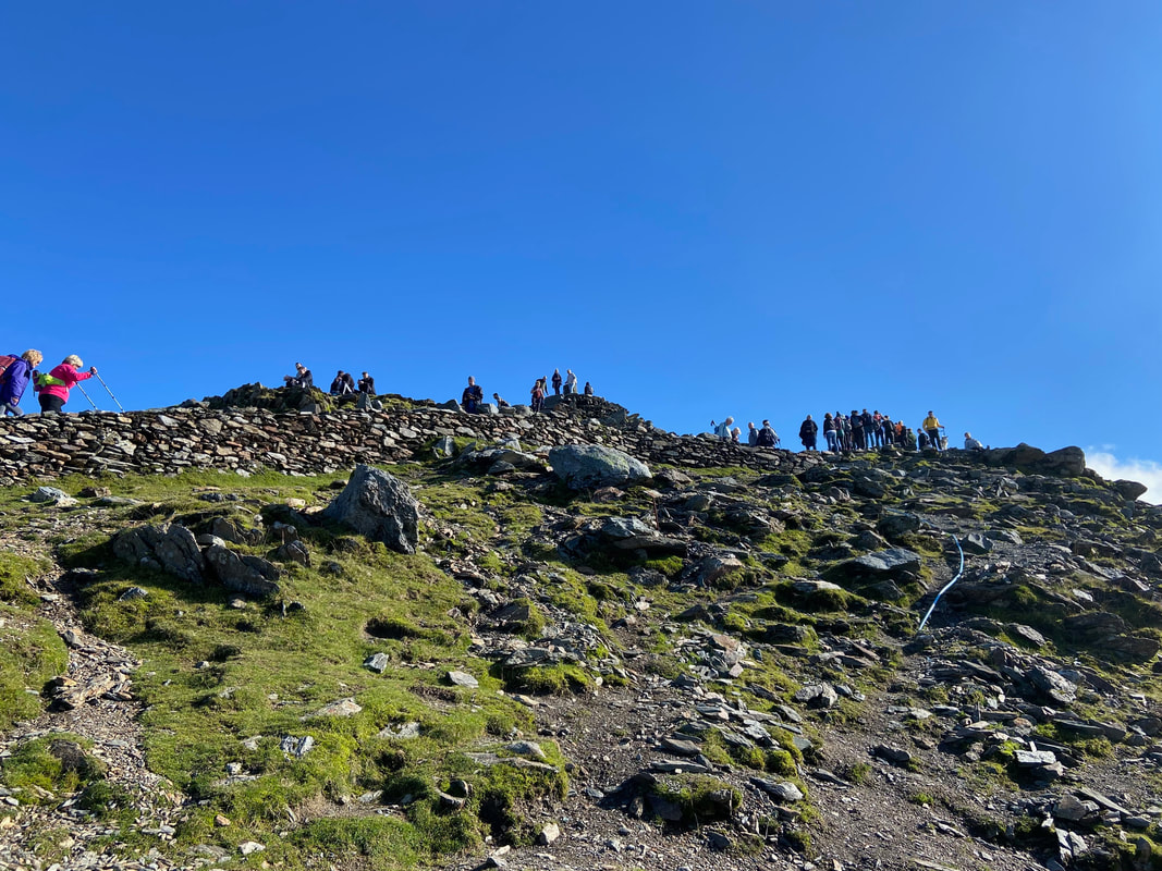
Looking up to Snowdon's summit - I thought "sod that" as I passed between the top and the cafe and headed for a spot away from the crowds. Yr Wyddfa, Snowdon's proper Welsh name translates as "grave" or "burial place". There are several theories as to the origin of Yr Wyddfa - one theory is that ‘wyddfa’ comes from gwydd + ma where gwydd is a ‘sight or face’ which therefore likely signified a visible peak and ma (mutating to fa) is ‘place’ therefore ‘the (high and) visible place’. Gwydd also means a grave or cairn but this may be a later meaning retrospectively applied to Yr Wyddfa. There is a link with the legendary giant Rhita Gawr but it’s likely the mountain name predates this link. Another theory is more legendary with ‘gwyddfa’ being abbreviated from its 13th century name ‘weedfa veer’ meaning the large burial mound. This referring to the stone cairn on the summit under which the giant Rhita Gawr was buried. The name "Snowdon" is more simpler and is derived from the Old English ‘snow dun’ meaning ‘snow hill’. There are references to this as far back as the 11th century.
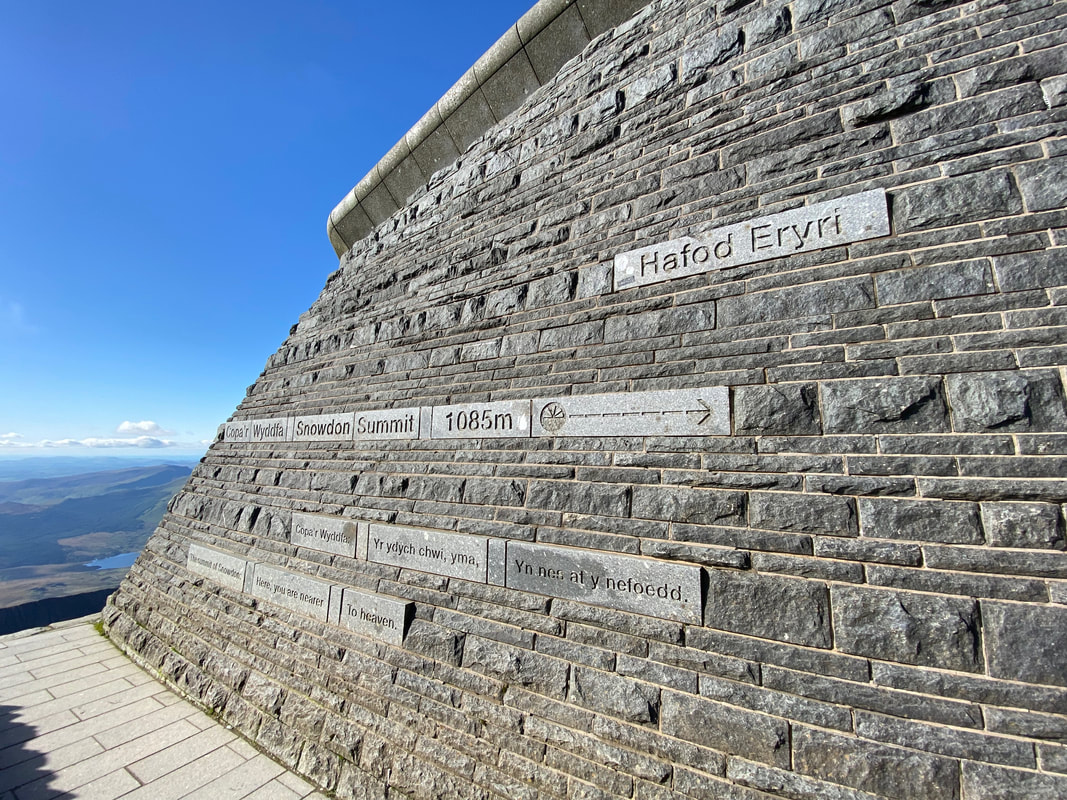
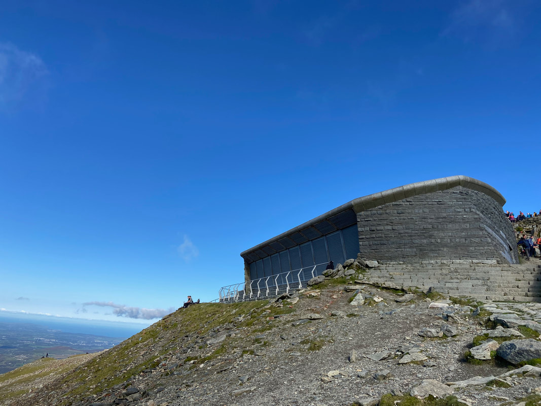
The cafe building near the summit of Snowdon - I sat and had a bit of lunch here before making my way down. Whilst I was sat here two chaps asked me the way down as they were parked in Llanberis and were wondering if they could head off back to their car by way of the Rhyd Ddu path. Had they done that they would have had an awfully long detour as it was totally the wrong side of the mountain. I find it best not to belittle people on these occasions and rather use it as an educational opportunity. I got my map out (they didn't have one) and we had a 10 minute teach-in.
Looking back to the classroom/lunch stop near the cafe
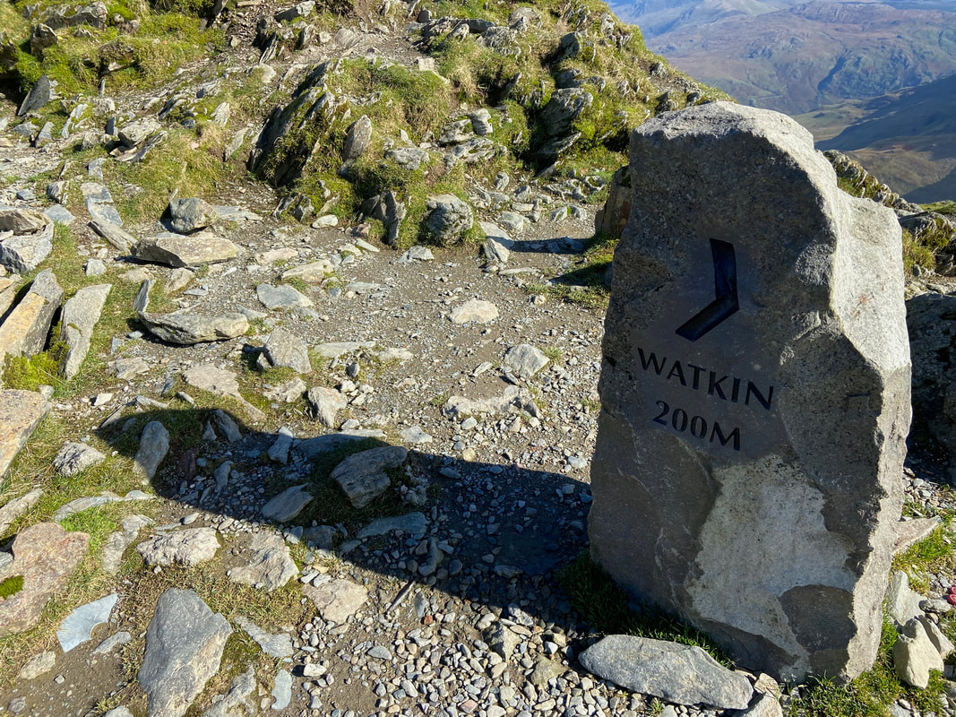
My route down followed the Watkin Path for a few hundred yards
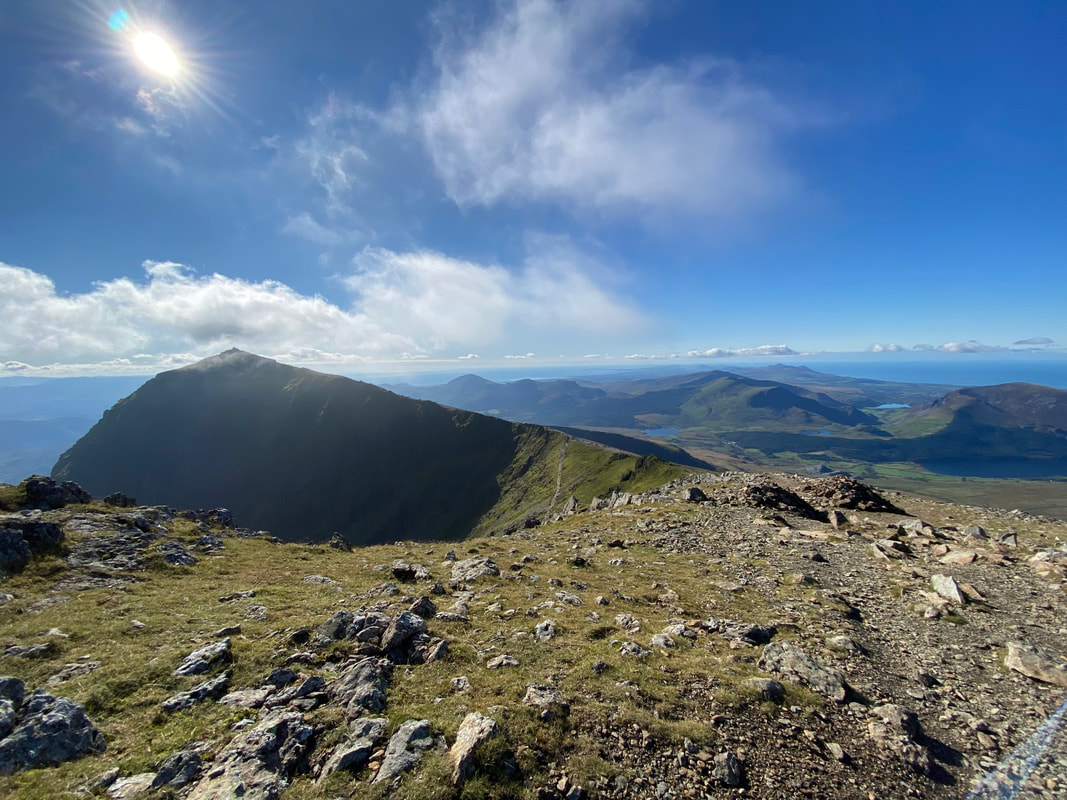
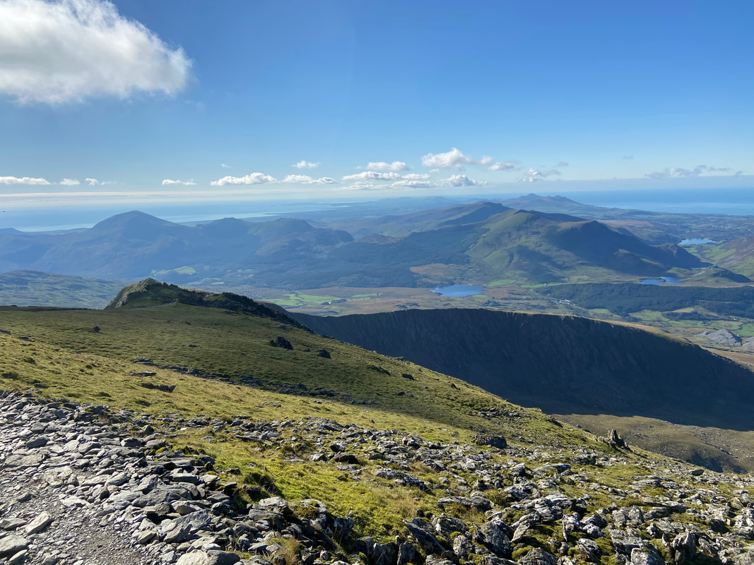
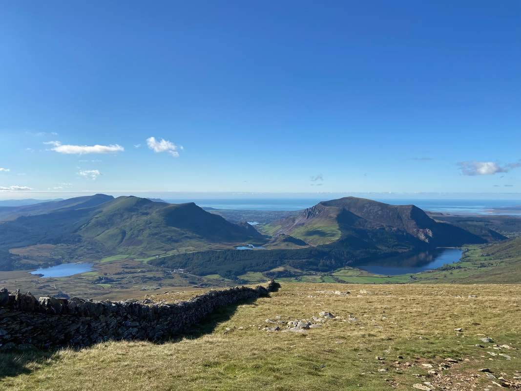
Looking to Moel Hebog left and the Nantlle Ridge to the right. In the foreground is my route of ascent down the Llechog ridge. In the very far distance to the right are "The Rivals" - Yr Eifl. A blog of the Yr Eifl walk can be found here
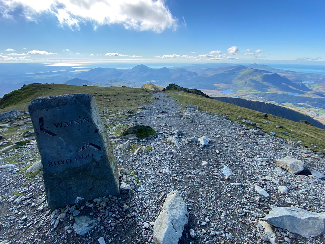
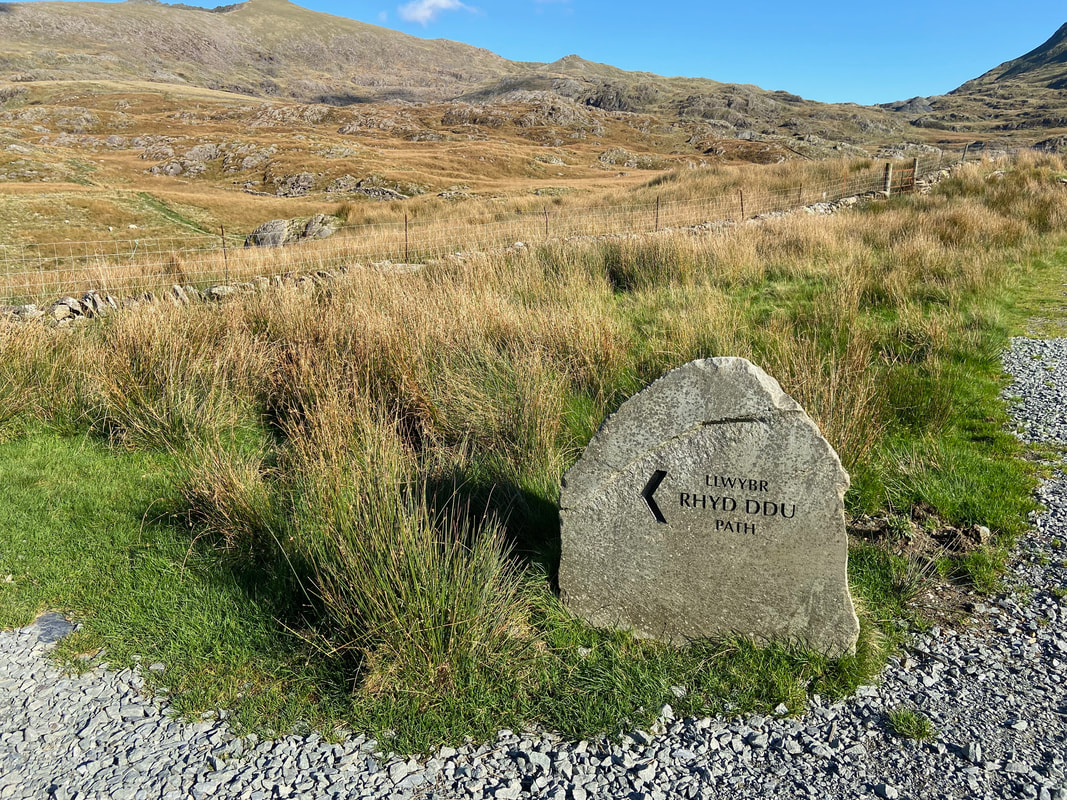
Time to leave the Watkin Path and head down to Rhyd Ddu via Bwlch Main - at this point I was still toying with the idea of descending via Snowdon's south ridge (the Allt Maenderyn) but in the end stuck with the Rhyd Ddu path.
Y Lliwedd from the Watkin Path junction
A closer view of Mynydd Mawr and the Moel Eilio Horseshoe
Y Lliwedd with the Watkin Path below
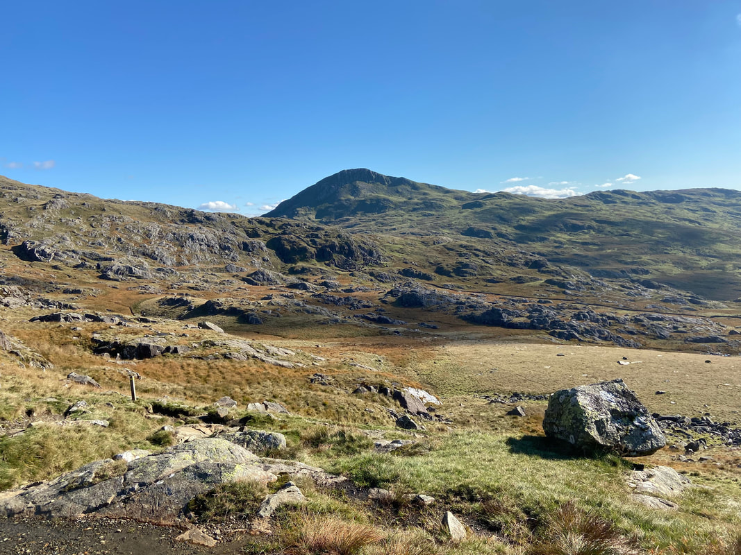
Heading along the Rhyd Ddu path which can be seen swinging to the lower right of the lump ahead
Looking back towards Snowdon & Bwlch Main from Llechog
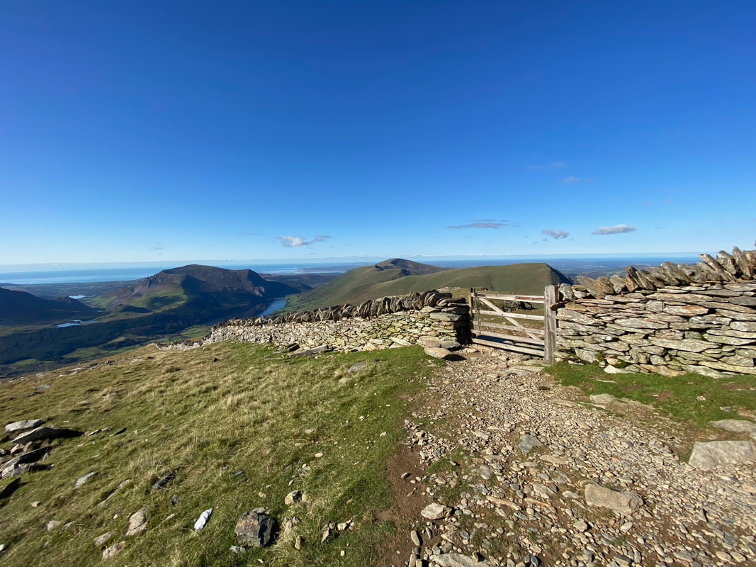
Once I had transited the Llechog ridge I dropped down to a gate at Rhos Boeth to begin the final part of my descent to Rhyd Ddu
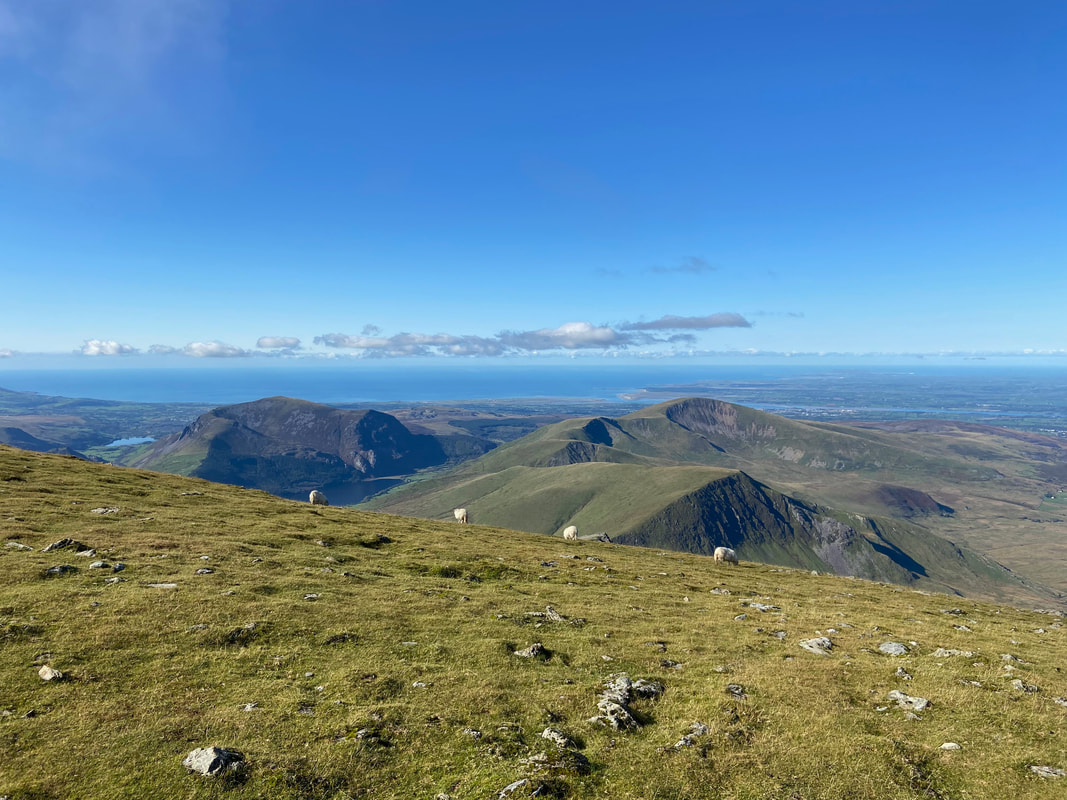
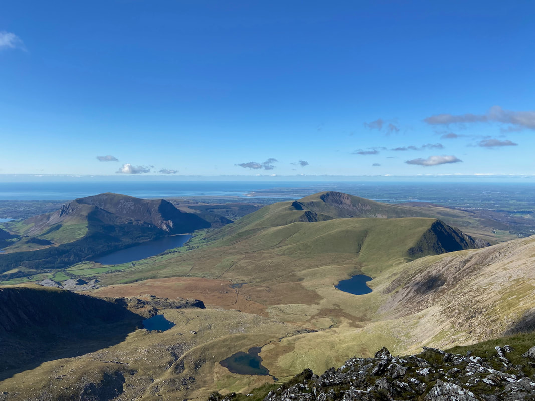
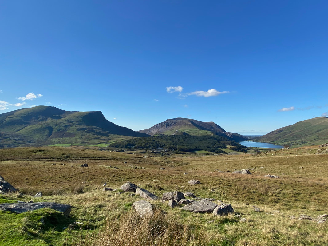
A closer look at the Nantlle Ridge & Mynydd Mawr with Llyn y Gader left, Llyn y Dywarchen centre & Llyn Cwellyn right
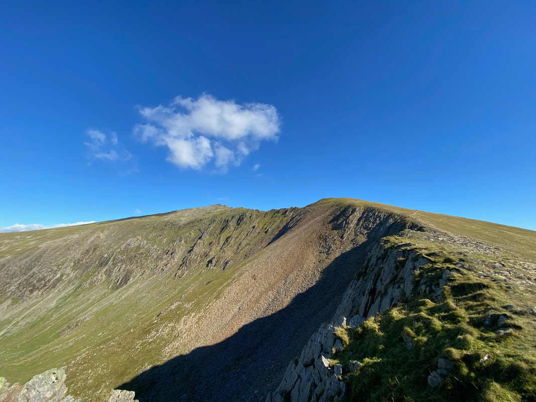
A final look up at my descent before I make for Rhyd Ddu
Safely back down and now just a short walk into the village
Mynydd Drws-y-coed, Y Garn & Mynydd Mawr
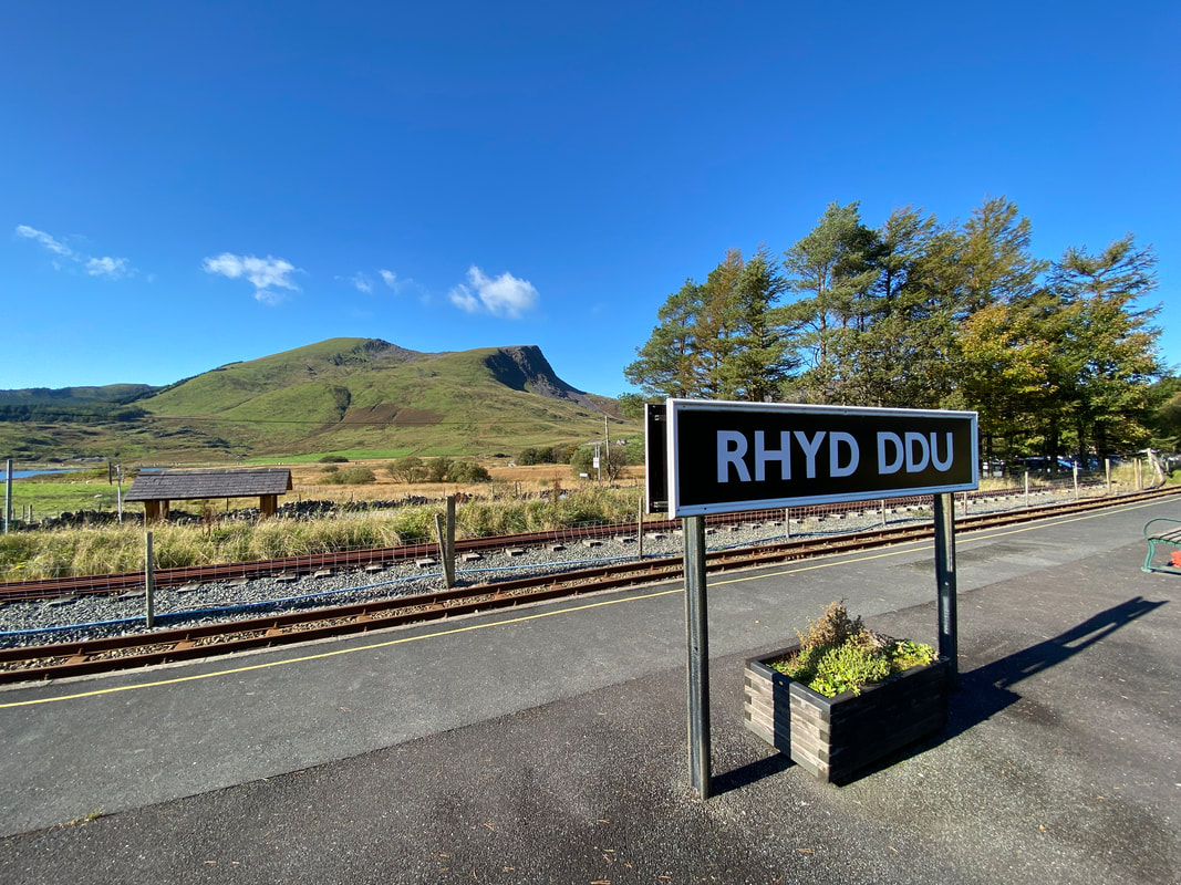
Rhyd Ddu Station & journey's end - a cracker of a day out that will live long in the memory
