Robinson, Hindscarth, Dale Head, High Spy, Maiden Moor & Cat Bells - Saturday 28 April 2018
Route
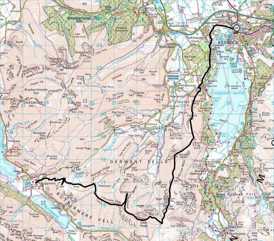
Buttermere - High Snockrigg - Robinson - Littledale Edge - Hindscarth - Hindscarth Edge - Dale Head - Dalehead Tarn - High Spy - Maiden Moor - Cat Bells - Skelgill Bank - Portinscale - Keswick
Parking
Plenty of parking in Keswick both free and Pay & Display. To get to Buttermere catch the 77 Honister Rambler from the Bus Station outside Booths in Keswick. The bus drops you off outside The Fish Hotel in Buttermere.
Mileage
13 miles
Terrain
Good mountain paths however the transit from High Snockrigg to Robinson via Buttermere Moss is likely to be boggy after heavy rain. Some steep ascents and descents.
Weather
Overcast with sunny spells. The visibility was good throughout.
Time Taken
8hrs 20mins
Total Ascent
4868ft (1484m)
Wainwrights
6
Map
OL4 - The English Lakes (North Western Area)
Walkers
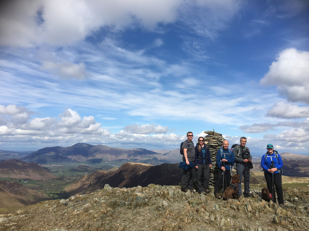
Dave, Angie & Fudge with Ian, Jenni, Sam, John & Chester the Sprocker
|
GPX File
|
| ||
If the above GPX file fails to download or presents itself as an XML file once downloaded then please feel free to contact me and I will send you the GPX file via e-mail.
Walk Description
We have done this walk a few times now and it is best done on a really clear day when the views can be appreciated. Circular walks are ok but if I had to choose between the two then a linear walk wins every time - especially if you can utilise public transport.
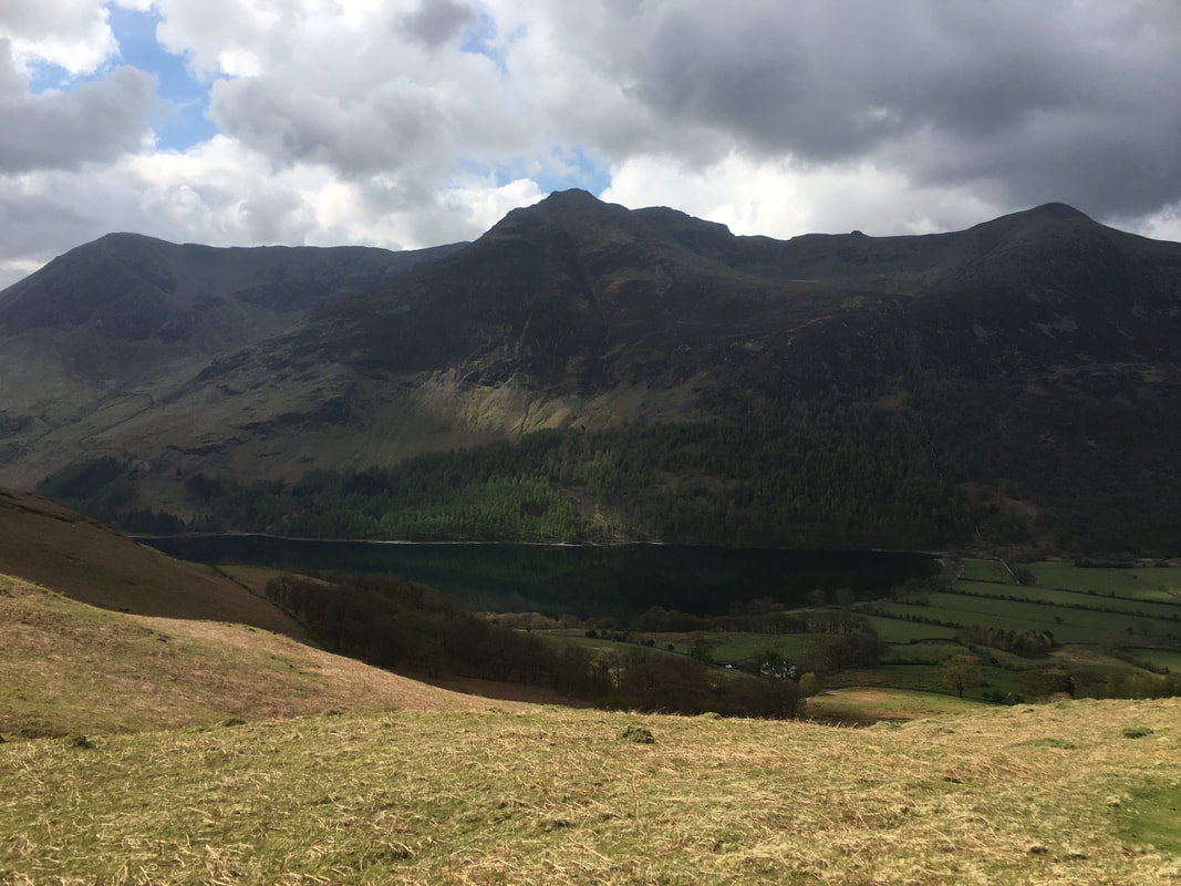
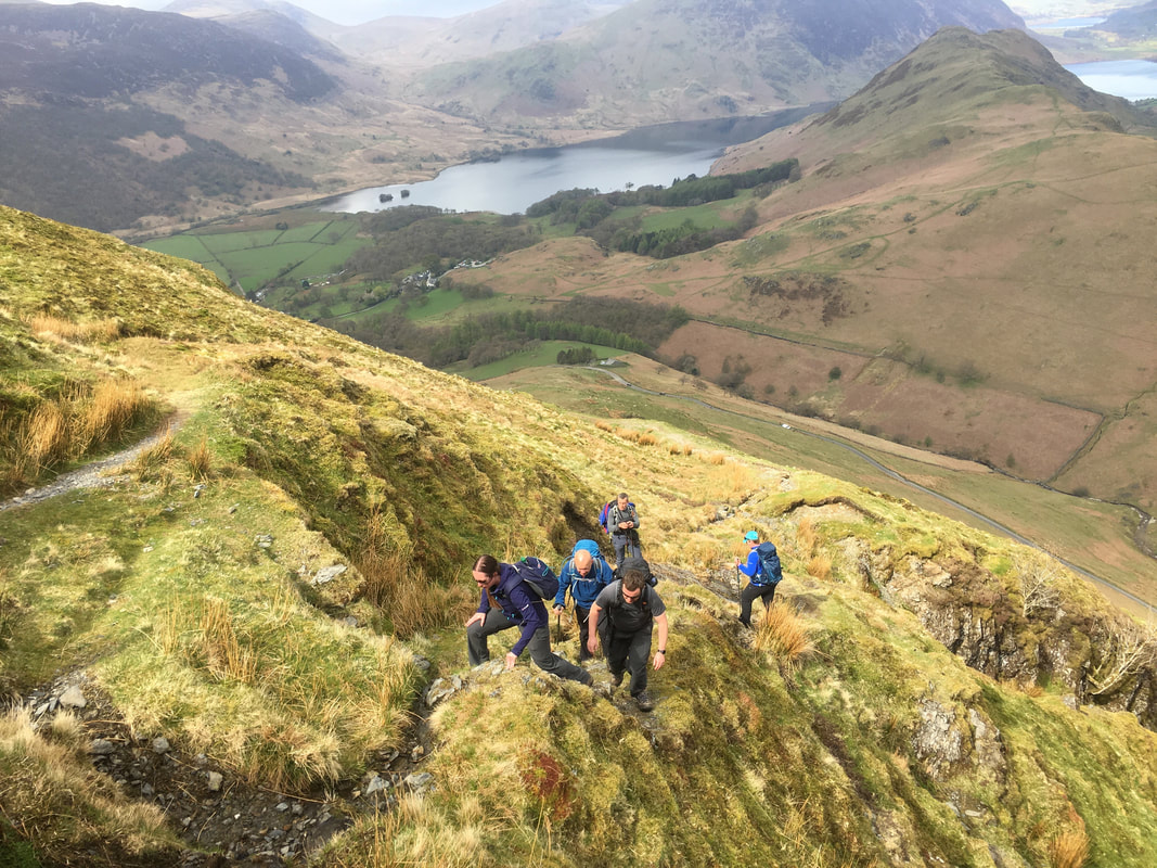
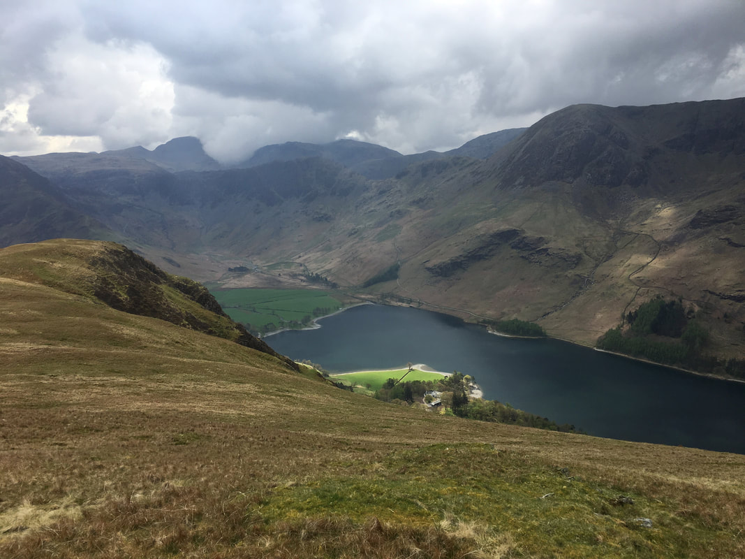
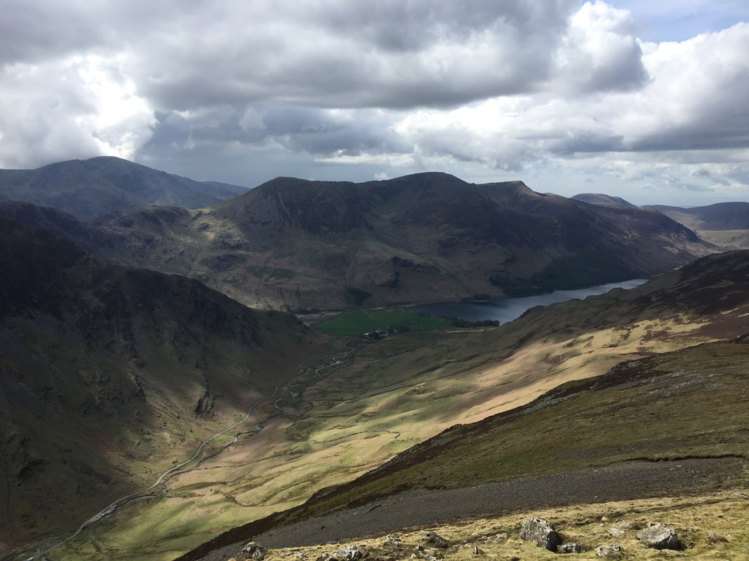
The route leaves Buttermere to head up in the direction of Newlands Hause for about 150 yards. A signpost on the right hand side of the road points the way to Robinson in the direction of High Snockrigg. This is a quick introduction to the steep stuff therefore stop often to look at views like this - looking over Buttermere to the High Stile ridge.
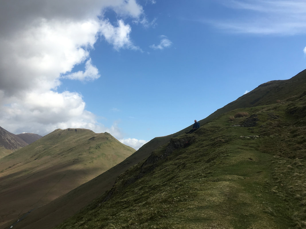
John pauses for a breather as we head steeply up to High Snockrigg. To the left of John is Knott Rigg with Scar Crags distant left.
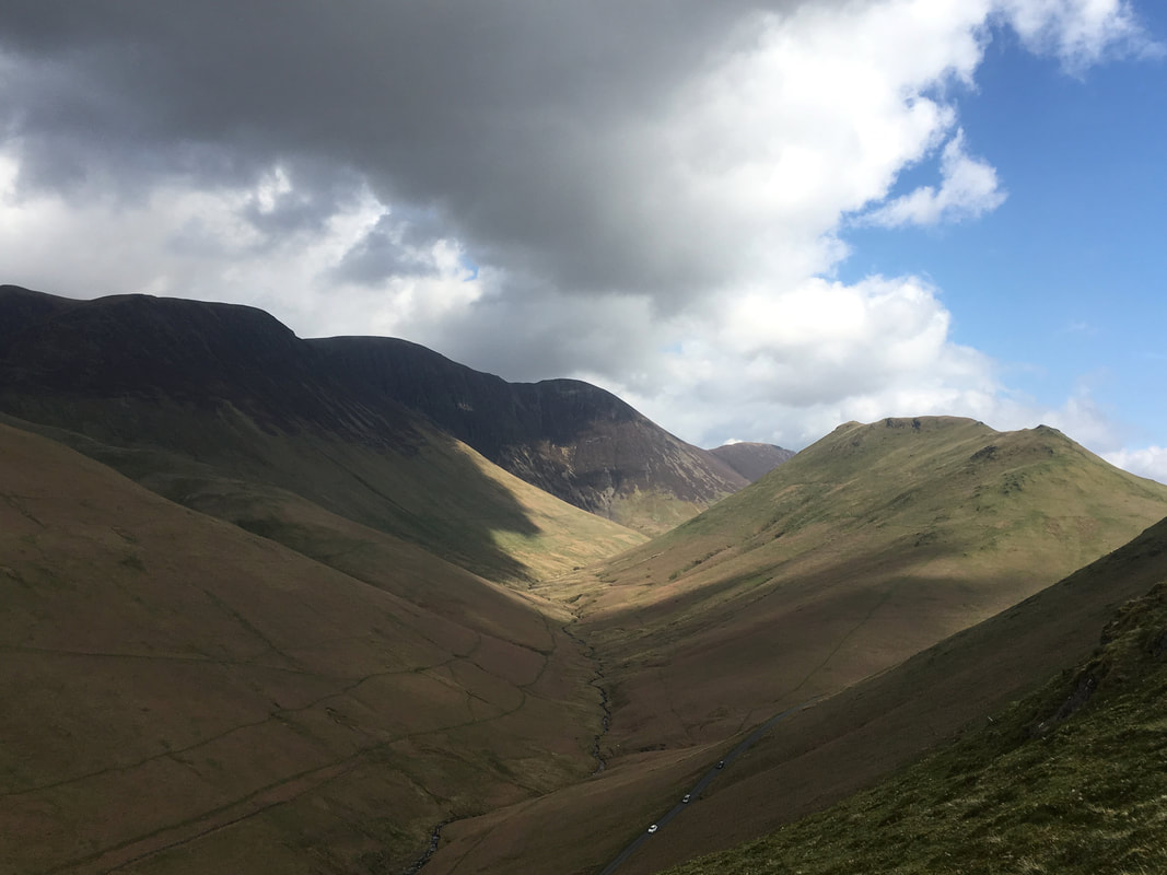
The road to Newlands Hause and the valley of Sail Beck are below with from left to right Wandope, Crag Hill, Sail, Scar Crags & Knott Rigg
The ascent of High Snockrigg is certainly a big wake up call for the calfs & thighs! Crummock Water is in the background with Rannerdale Knotts to the right
Up on High Snockrigg. It is well worth the short detour for this fantastic view over Buttermere to Haystacks and the Pillar range - just a shame it is in cloud.
Looking to Robinson across Buttermere Moss. Much is made of the "squelchiness" of the transit over this section. Like most boggy sections it is vastly over egged and to be honest it is a delightful transit over grass and sphagnum moss - just apply common sense and don't do it after a weeks worth of rain.
Looking back over Buttermere Moss to High Snockrigg from the ascent to Robinson. High Stile & Red Pike are centre with Starling Dodd & Great Borne to the right. The path from High Snockrigg can be seen snaking its way over Buttermere Moss to then traverse the lower slopes of Robinson before switching back to the summit.
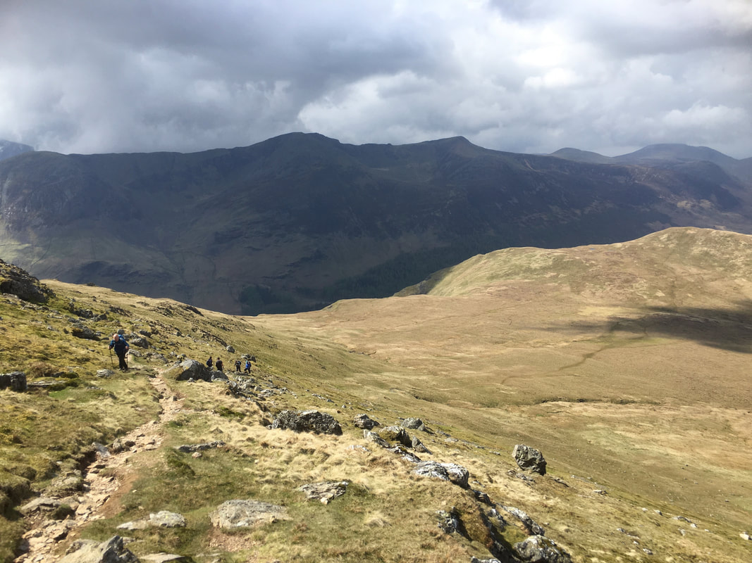
Looking to the North Western Fells. Knott Rigg is in the foreground with from left to right Whiteless Pike, Grasmoor, Thirdgill Head Man, Wandope, Crag Hill & Sail
After traversing the lower slopes the gradient eases as the summit is approached
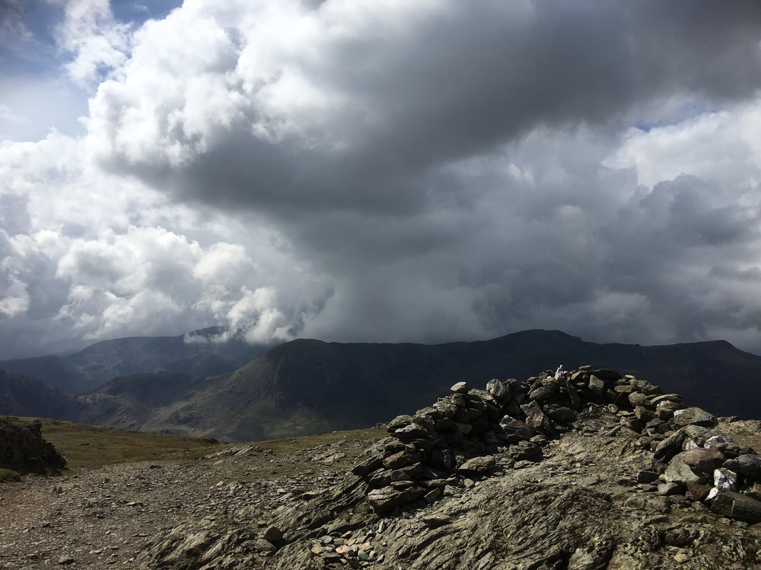
The wind shelter on the summit of Robinson
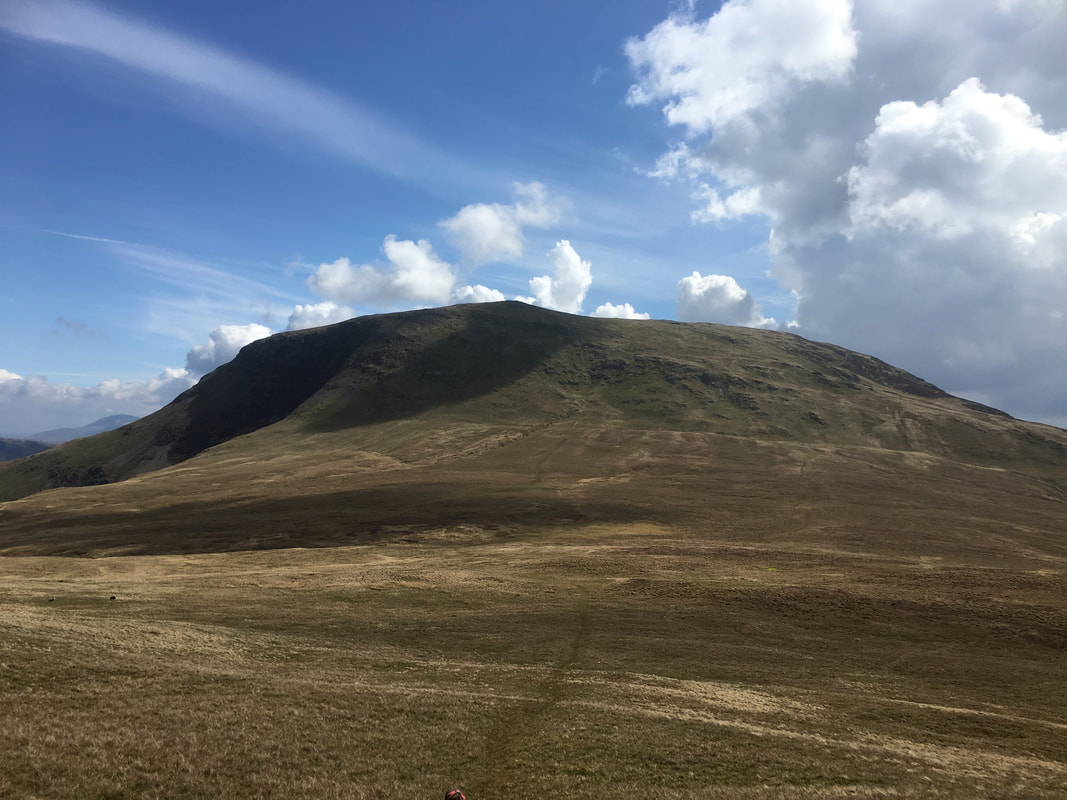
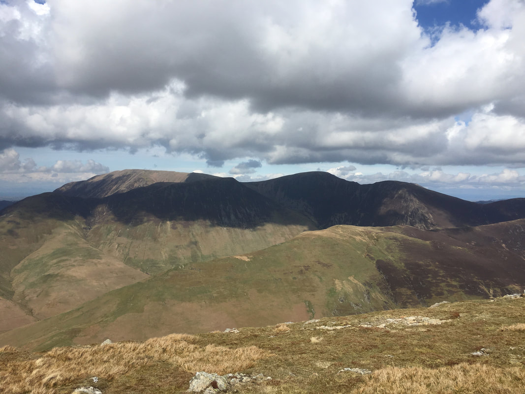
Our next summit of Hindscarth is ahead with Dale Head to the right
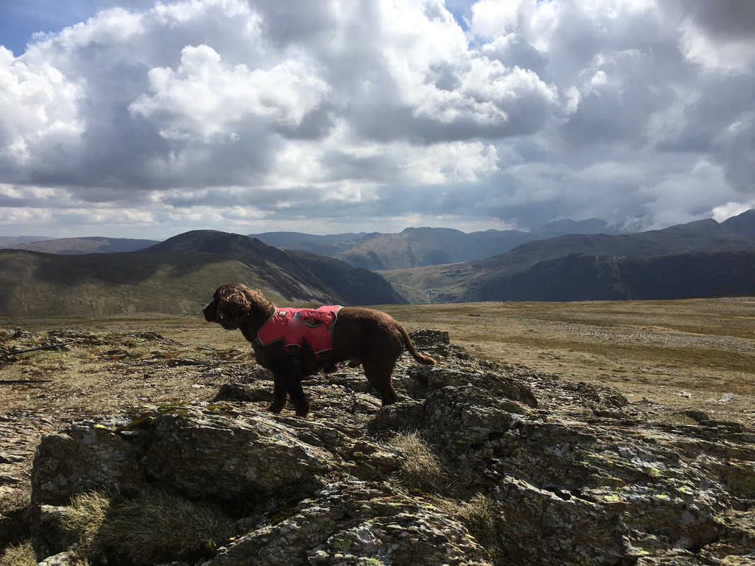
Fudge on the summit of Robinson - I think he has heard someone opening a packet of crisps in Keswick (that's where he is looking)
Heading along Littledale Edge towards Hindscarth. There are two ways to the summit from here - either continue along Littledale Edge to then wander along the summit ridge or as we did, traverse the lower slopes from right to left.
Heading for Hindscarth looking back to Littledale Edge and the High Stile Ridge
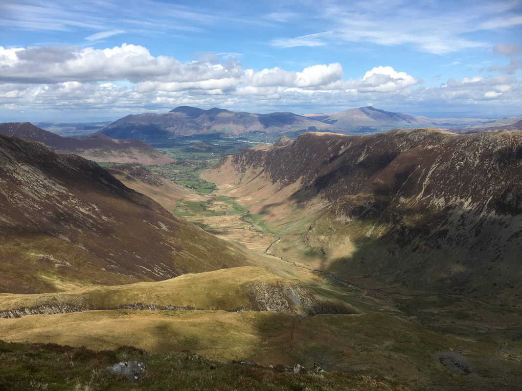
The view north from the summit of Hindscarth. We wandered down to the northern cairn ahead as there are superb views to be had into the Newlands Valley.
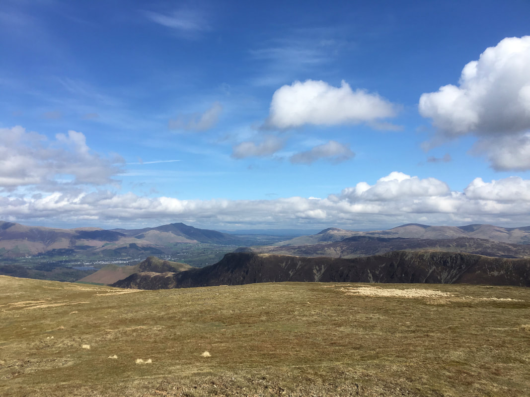
Looking over to Maiden Moor with Cat Bells to the left. Blencathra is to the centre left with Clough Head and The Dodds to the right.
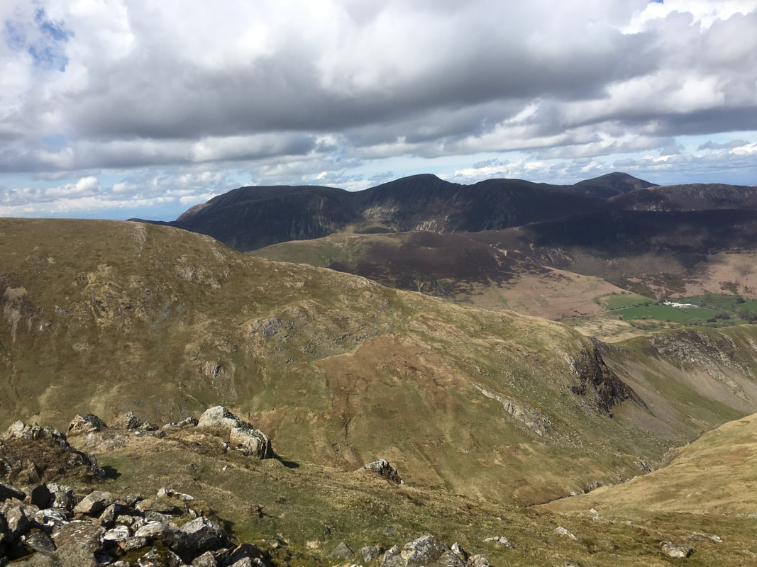
The lower slopes of Robinson to the left with the North Western Fells providing the backdrop
Should you wish to cut the walk short from Hindscarth then the path from the northern end of the fell can be taken as shown here. This route will take you over High Crags & Scope End to Little Town. From there you can head for Derwent Water and onward to Keswick via Portinscale.
The summit of Hindscarth looking to Hindscarth Edge & Dale Head
Leaving the summit we headed to the right along Hindscarth Edge to climb up to Dale Head
High Spy
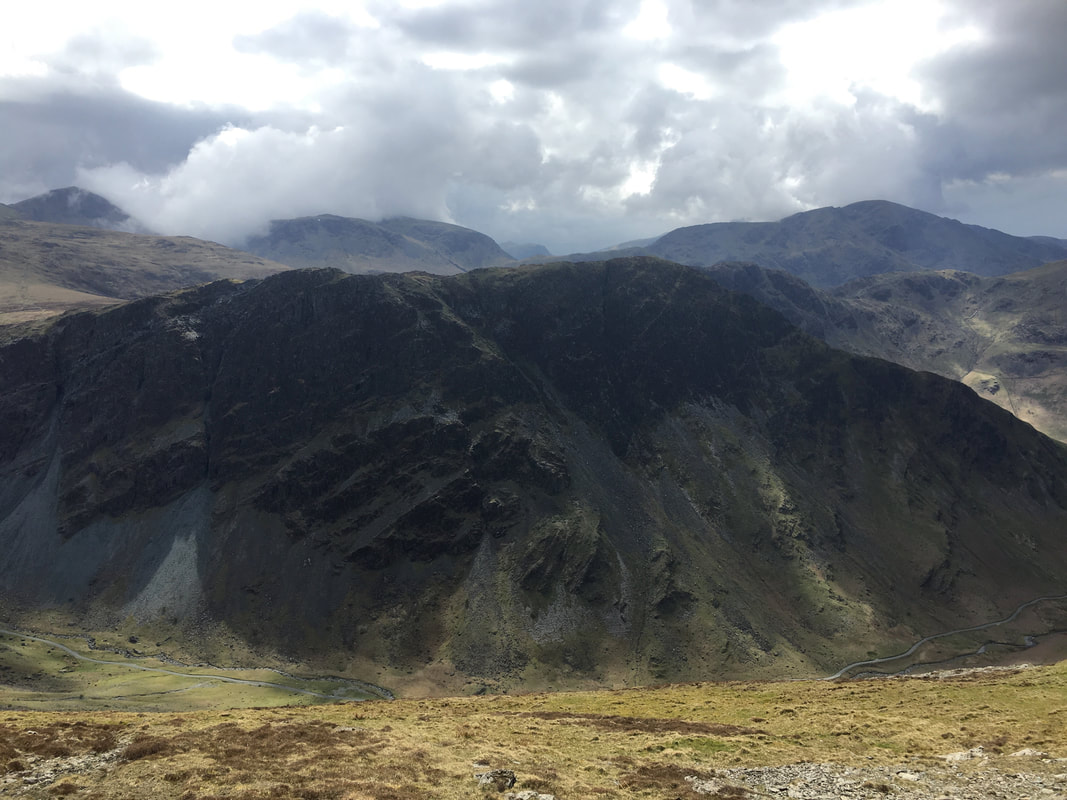
Looking across the Honister Pass to Fleetwith Pike
Hinsdcarth from the ascent of Dale Head
Fleetwith Edge is to the left with Pillar behind - Seat, Gamlin End, High Crag, High Stile & Red Pike sit above Butttermere
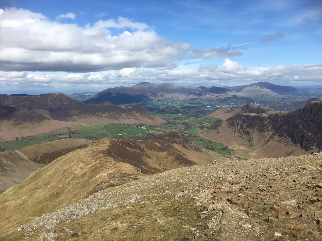
The beautiful Newlands Valley from near Dale Head with Skiddaw & Blencathra in the distance
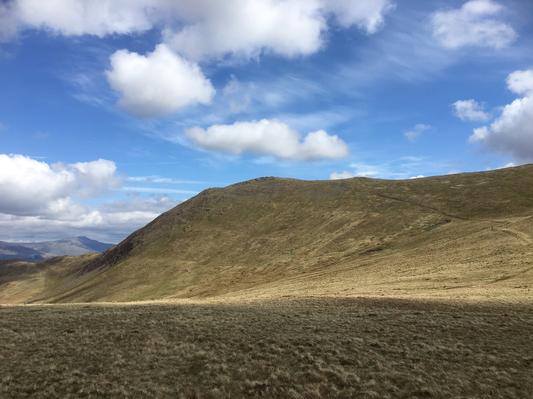
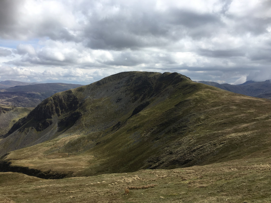
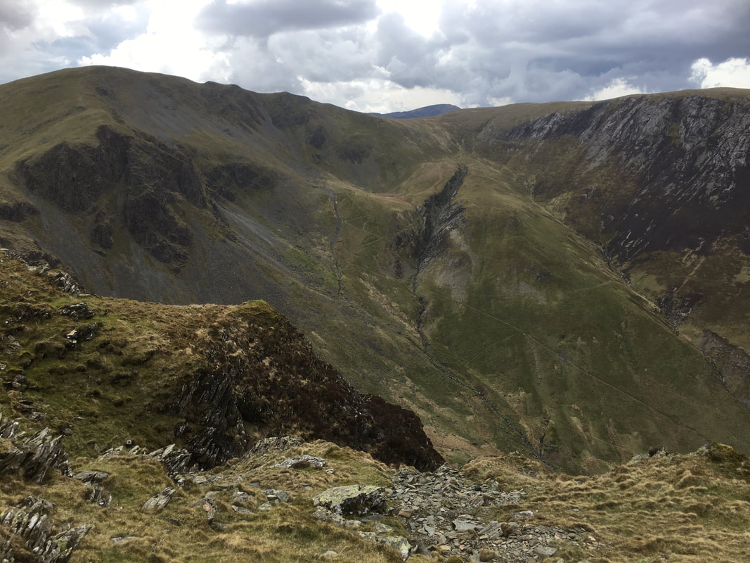
Another view of High Spy from near Dale Head
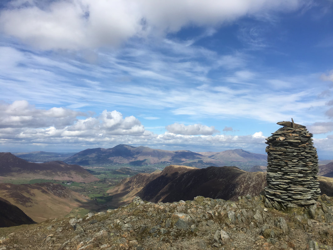
The impressive summit cairn on Dale Head - the actual summit is some 20 metres to the west
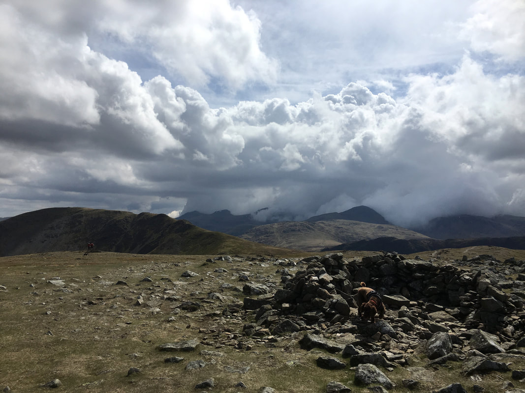
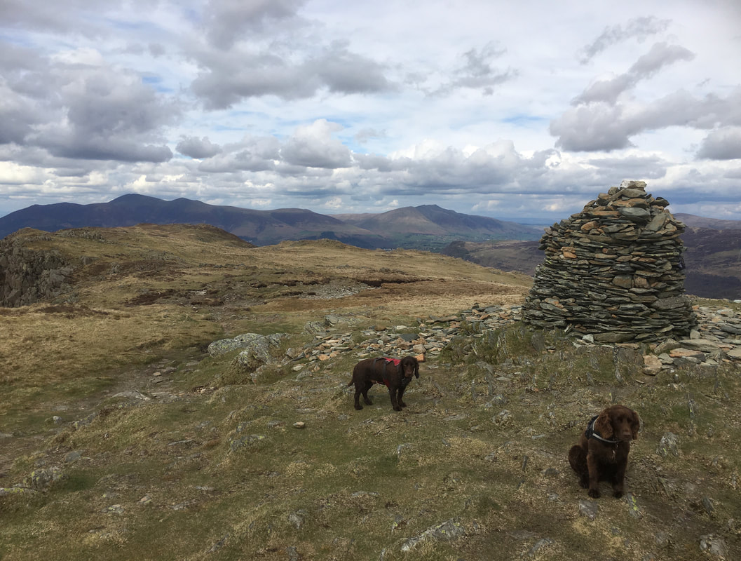
Walkers & pooches on the summit of Dale Head
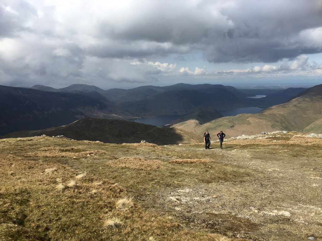
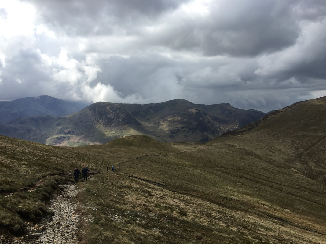
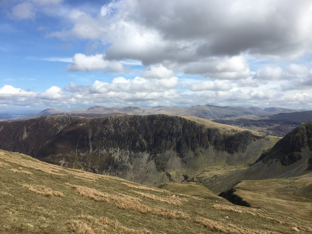
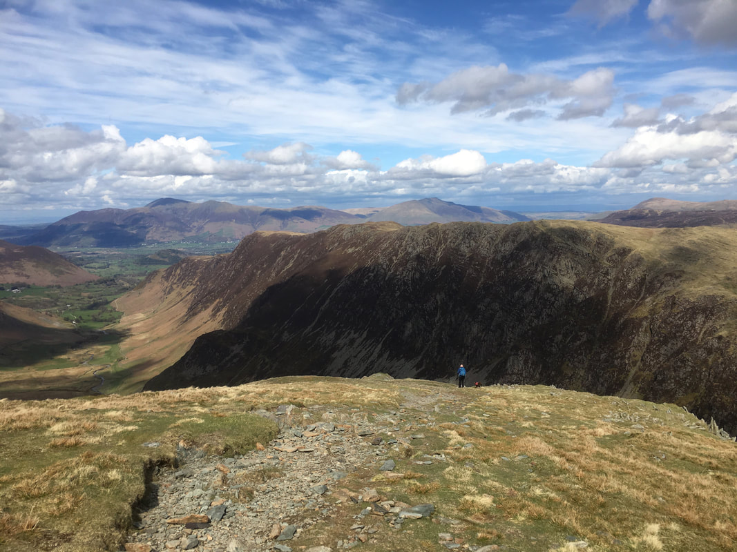
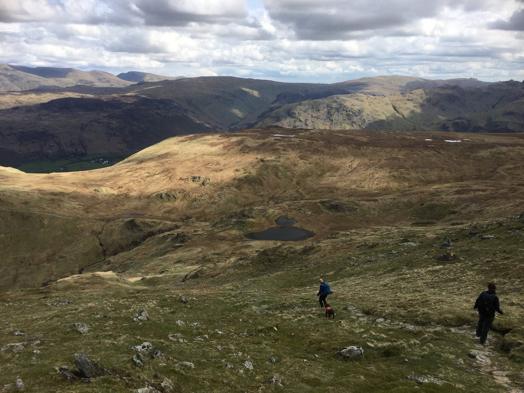
John & Fudge lead the descent from Dale Head to Dalehead Tarn. High Spy is ahead and we would be off there next. From here the path swings to the right to head steeply down to the tarn.
The steep path to Dalehead Tarn which can be seen below. Fix the Fells have done a lot of work on this path which makes the descent a lot easier. To learn more about the Fix the Fells organisation, maybe to donate or become a volunteer then the information can be found here
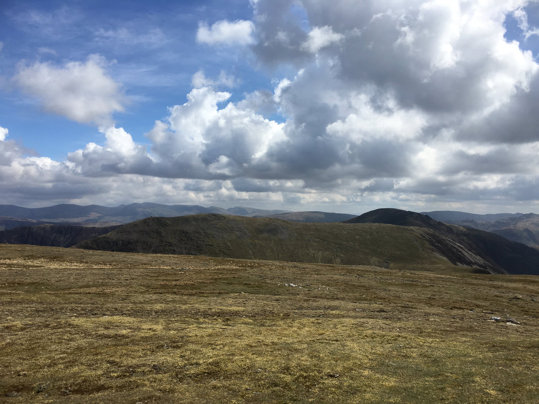
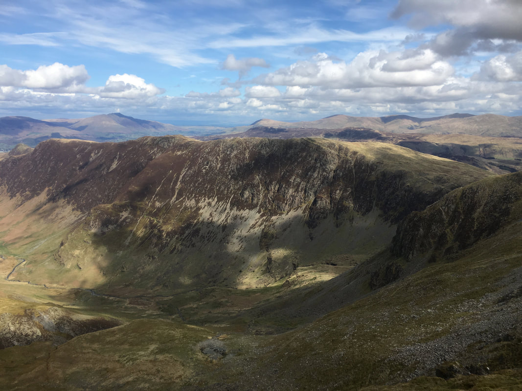
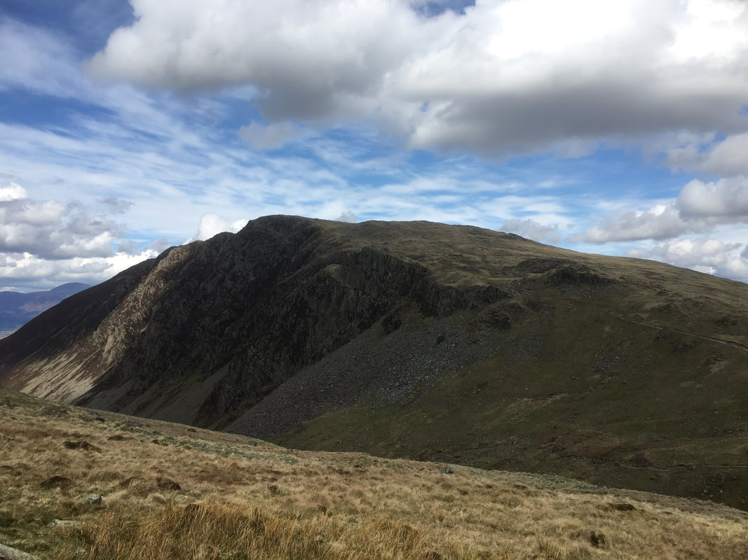
High Spy - our route of ascent can be seen on the right
Dale Head & Hindscarth from the ascent of High Spy. High Stile peeps out in the centre of shot.
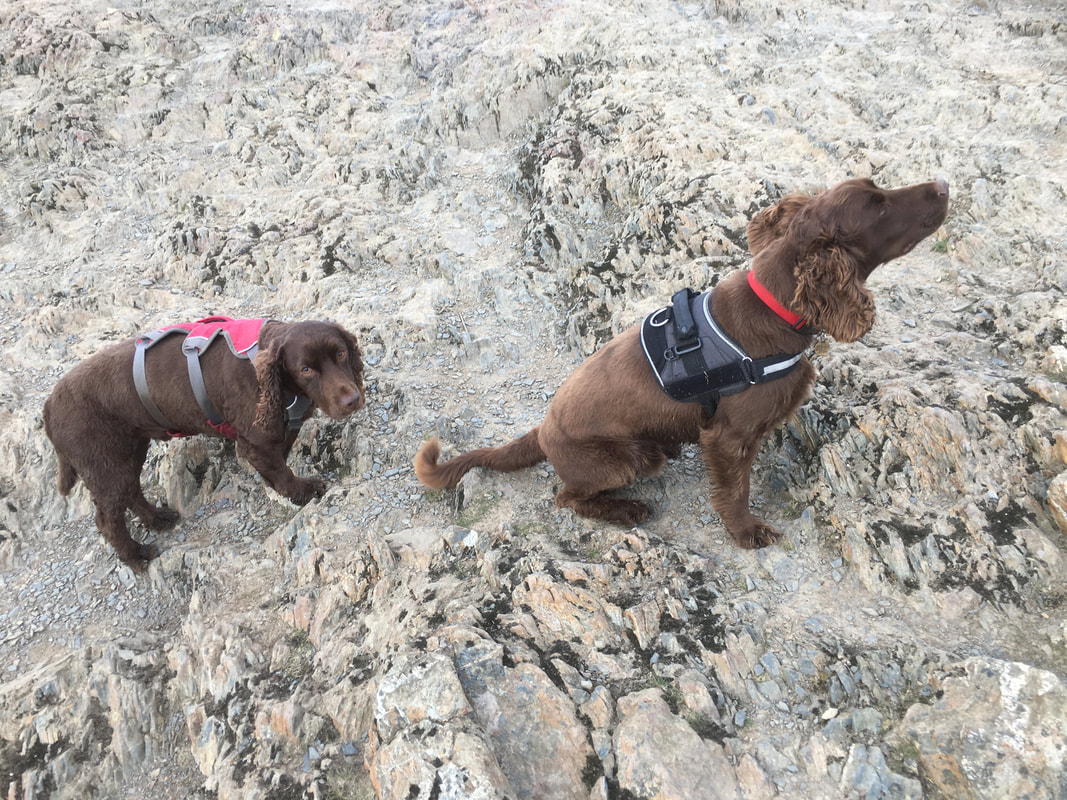
Fudge & Chester look distinctly unimpressed on the summit of High Spy
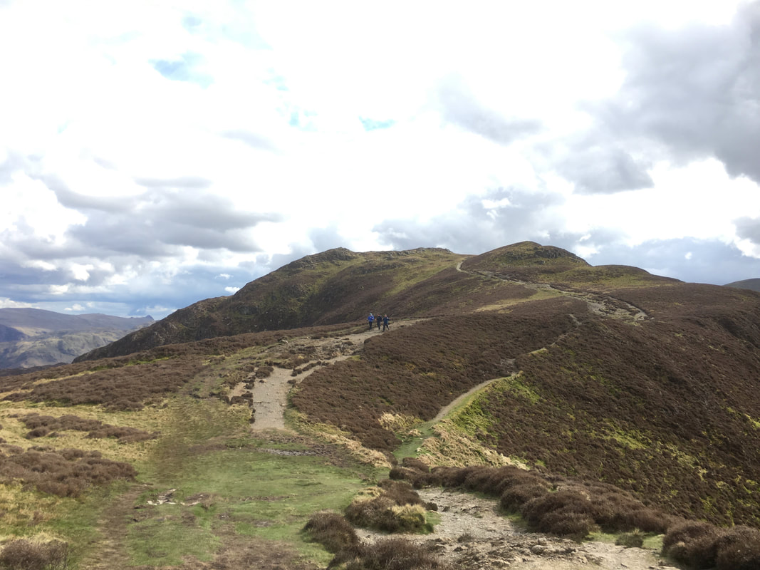
Looking back to the transit from High Spy from near the summit of Maiden Moor
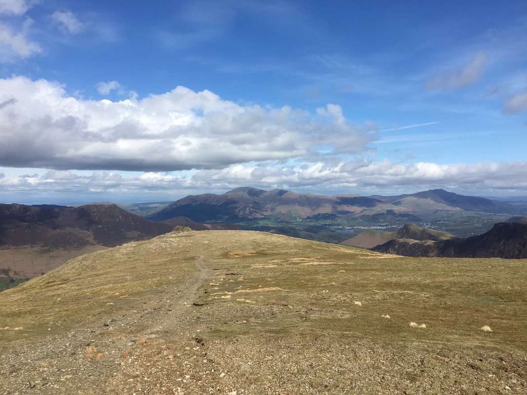
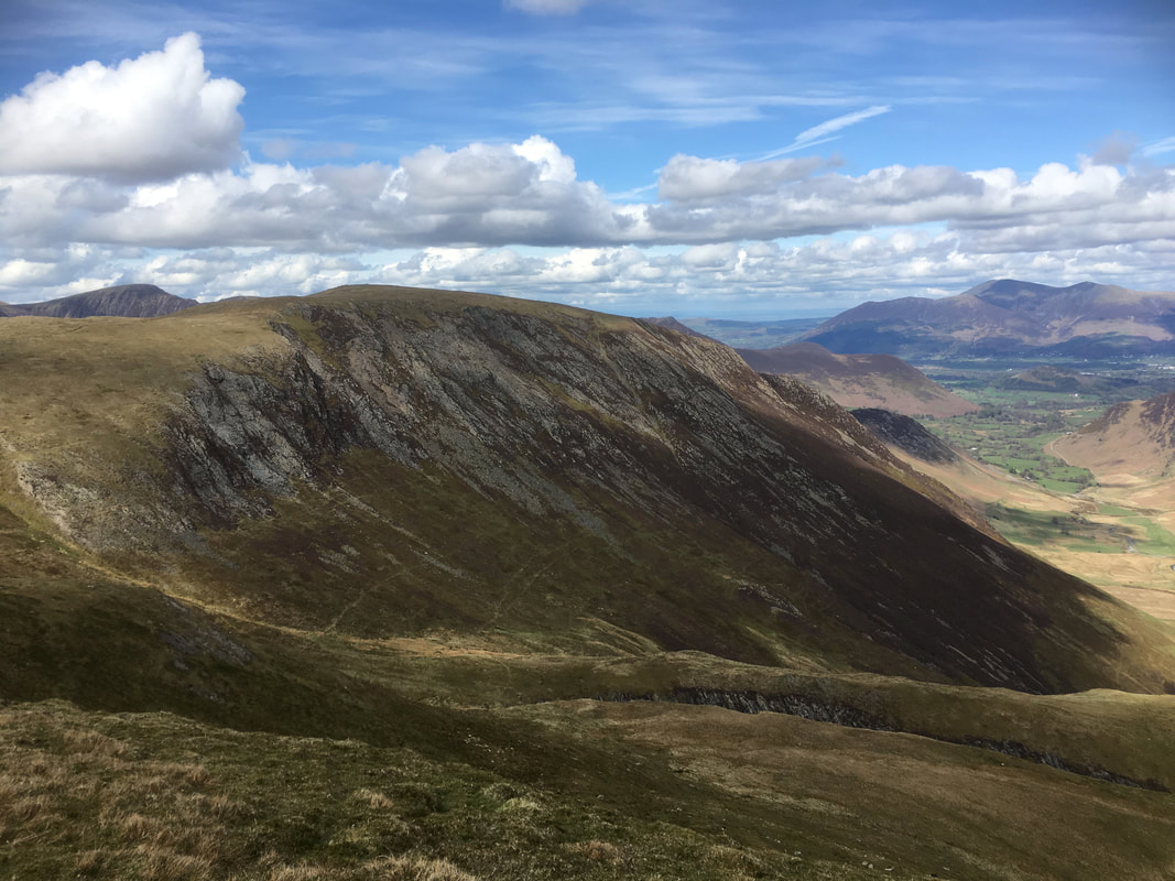
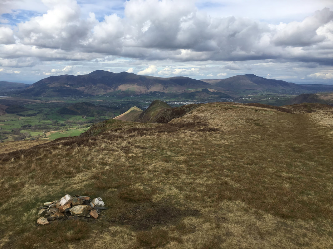
The summit of Maiden Moor. Cat Bells & Skelgill Bank are in the foreground with Skiddaw & Blencathra to the rear.
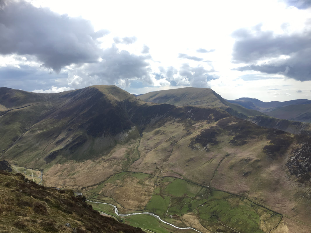
Hindscarth, Robinson & Great Borne from the summit of Maiden Moor
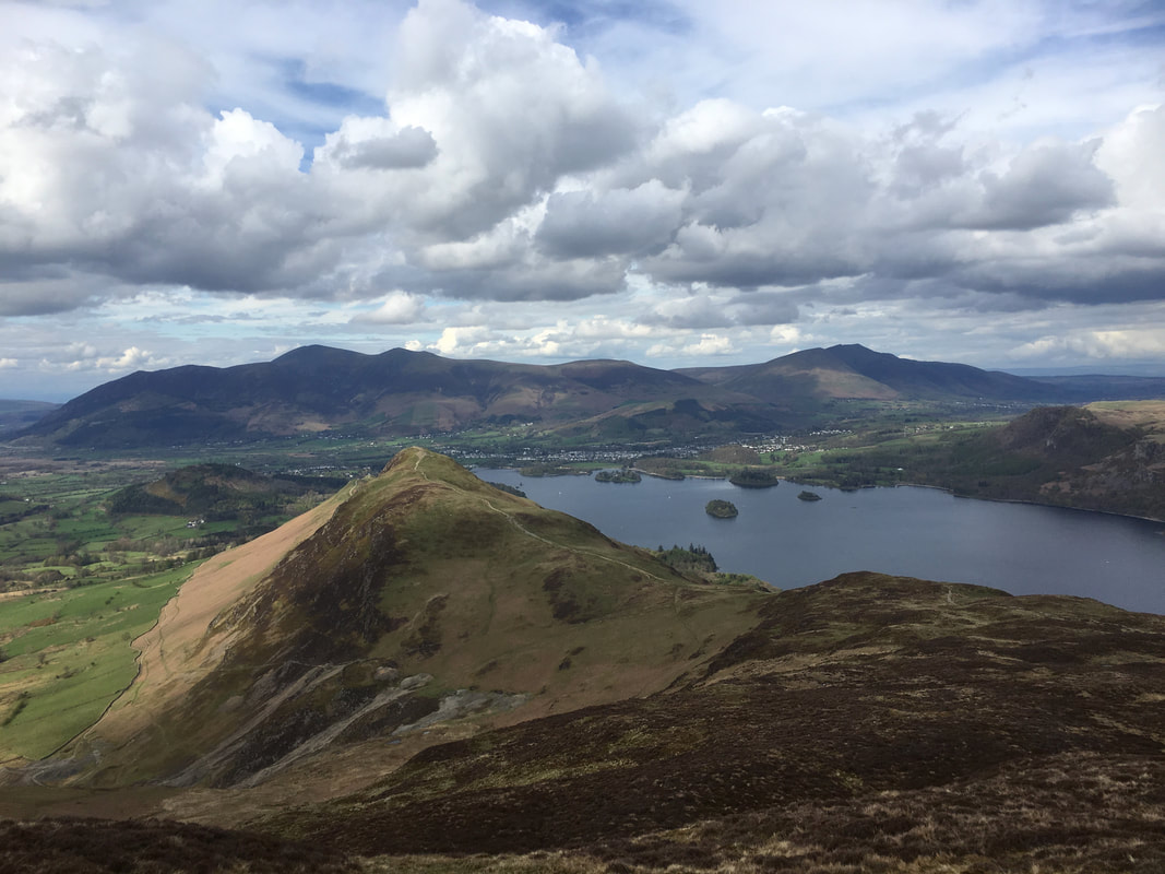
The approach to Cat Bells from Maiden Moor with Derwent Water below. The col down below is Hause Gate and is a popular route to Cat Bells from Little Town.
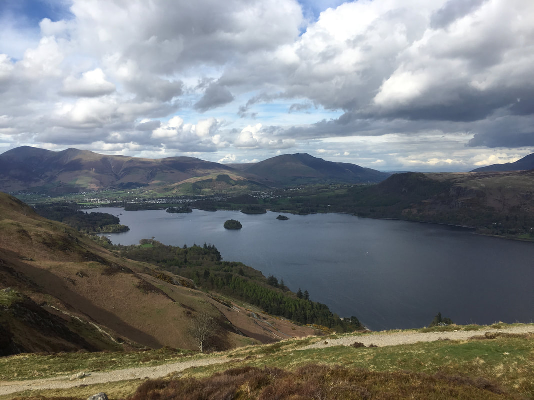
Derwent Water from above Hause Gate
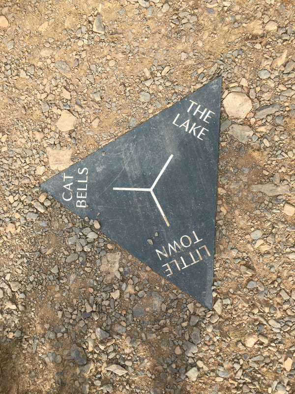
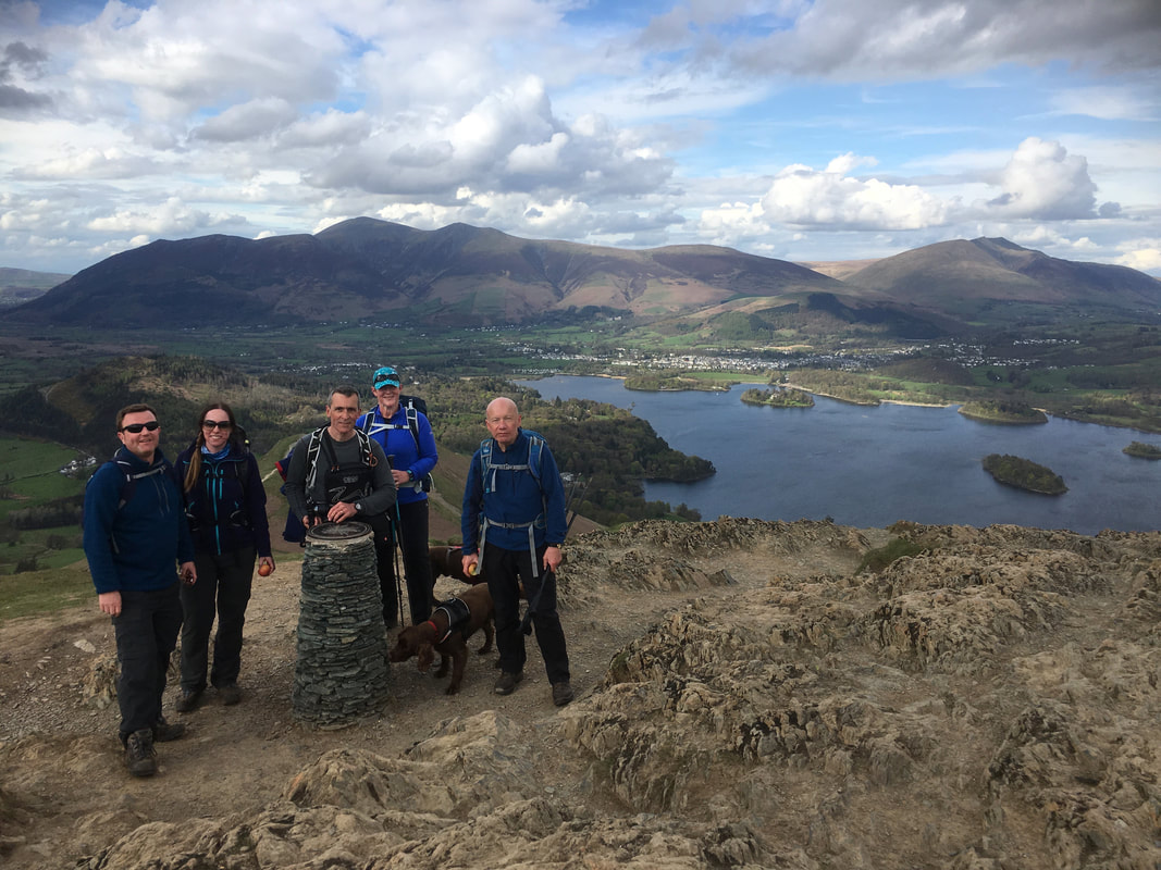
Handy little navigational aid if you are up here in the mist - unless somebody twirls it around that is!
Fudge & Chester on the summit of Cat Bells. They have been out together a few times now and sort of get on ok.
My walking companions at the Toposcope near the summit of Cat Bells. Once over Skelgill Bank we would have a long walk in of 3 miles to Keswick via Portinscale.
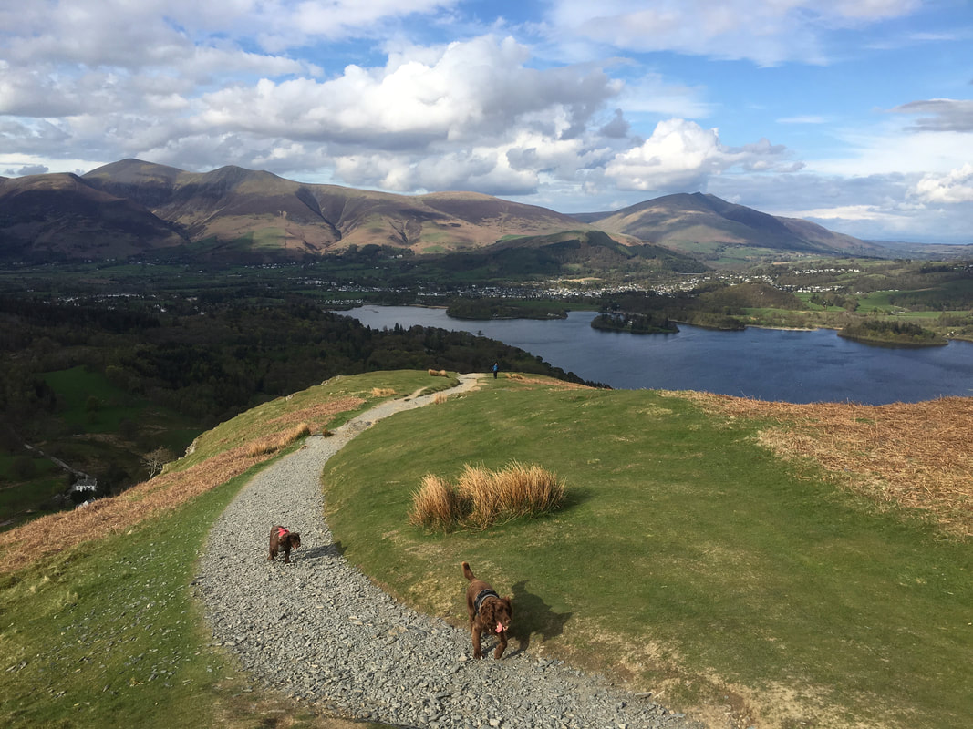
Happy pooches on Skelgill Bank
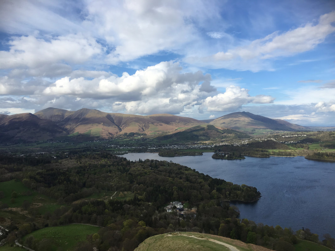
The steep descent down Sklegill Bank. Hawse End Outdoor Centre sits below on the edge of Derwent Water with Skiddaw & Blencathra now bathed in sunshine - well sort of. Time for a beer in Keswick I think - what a cracking day out.
