Moel Hebog - Wednesday 3 December 2014
Route
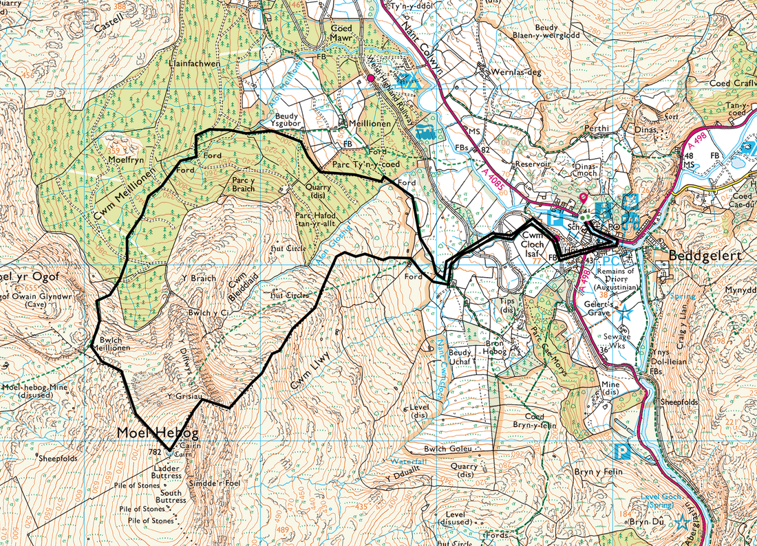
Beddgelert - Cwm Cloch Isaf - Moel Hebog - Bwlch Meillionen - Cwm Meillionen - Parc Ty'n-y-Coed - Cwm Cloch Isaf - Beddgelert
Parking
Loads in Beddgelert however we parked in the Car Park near the large Outdoor Shop (Free) - Grid Ref SH589483
Mileage
7 miles
Terrain
Good mountain paths generally with some loose scree and easy scrambling approaching the summit plateau of Moel Hebog. Additionally, the descent off Moel Hebog to Bwlch Meillionen is very steep and on grass at the start therefore after rain care needs to be taken. The path through the lower section of Beddgelert Forest at Cwm Meillionen was mostly festooned with tree roots and boggy in places.
Weather
Overcast and cold - visibility was generally good.
Time Taken
5hrs
Total Ascent
2939ft (896m)
Map
OL17 - Snowdon & Conwy Valley
|
GPX File
|
| ||
If the above GPX file fails to download or presents itself as an XML file once downloaded then please feel free to contact me and I will send you the GPX file via e-mail.
Walk Description
We have been to Beddgelert on many occasions and each time we are there or passing through we have always mentioned how lovely it would be to climb up Moel Hebog (Bare Hill of the Hawk). We were staying just outside the village therefore after a morning drive out to the Siabod Cafe in Capel Curig to have breakfast we made our way back to Beddgelert to ready ourselves for what we hoped would be a fine day out in good visibility.
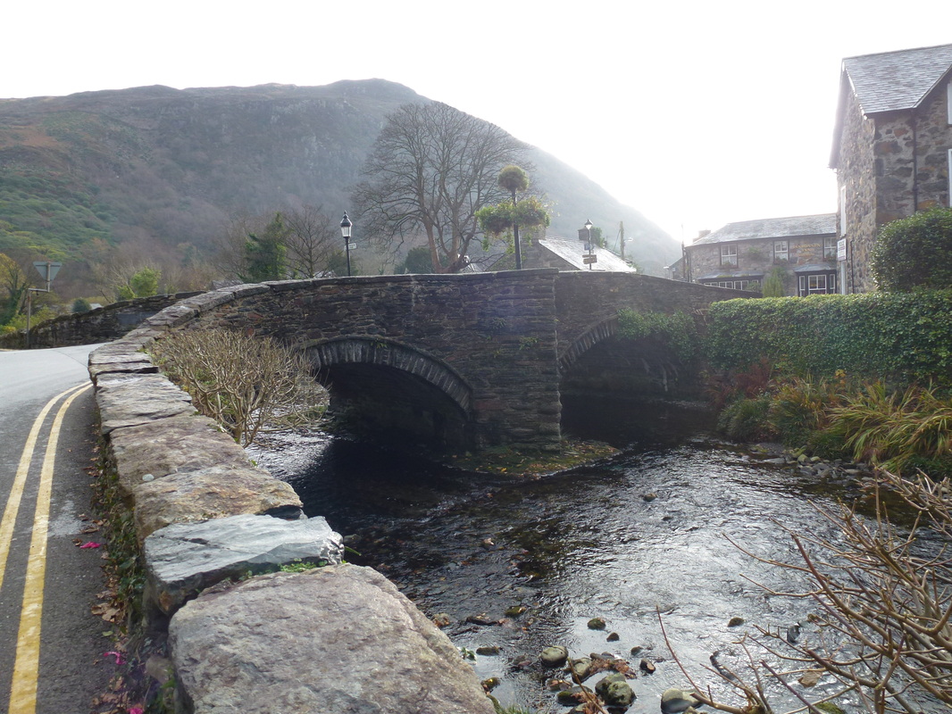
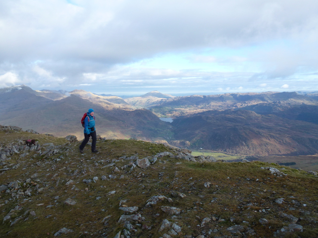
The walk starts from the village where there are several choices by way of parking. We parked in the free Car Park on the main road near the large outdoor shop. Crossing the bridge over the river we headed for the Welsh Mountain Railway where there is a good path leading to Cwm Cloch Isaf which eventually arrives at a gate on to open hillside. The path rises gently at first and as we gained height so the views over the surrounding area opened up. All too soon though, the gradient started to increase and we were soon climbing up amongst loose stone and scree but gaining height very quickly. Reaching a cairn at the top of the scramble, we then enjoyed a delightful amble along a gentle grassy rise to the summit plateau that gave us superb views over to Snowdon, Nantlle, Moel Siabod and to Cnicht.
Leaving the summit, the descent off the mountain towards Moel yr Ogof (Hill of the Cave) is very steep at first and we needed to take care here as the grass was extremely slippery and gave way easily. However the path quickly became stony and we were soon down at Bwlch Meillionen, turning right at the wall to follow the path down to the forest. There is an option here to carry on up to the summit of Moel yr Ogof, visit Owain Glyndwr's Cave and carry on up and over Moel Lefn, descending to the forest and making your way back to Beddgelert from there. We were short on time today, therefore tempted as we were to visit the cave, we made our way down to the forest and through several boggy and tree rooted paths to the ford over the stream at Parc Ty'n-y-coed. From here, we simply joined the Rhyd Ddu path leading to our outward route from Beddgelert.
Moel Hebog is well worth a visit as on a clear day the views from the ascent, descent and the summit itself are fabulous but pick a day with good visibility like we did.
The bridge over the Nant Colwyn in Beddgelert
The route takes the path centre right of picture over the Welsh Highland Railway lines
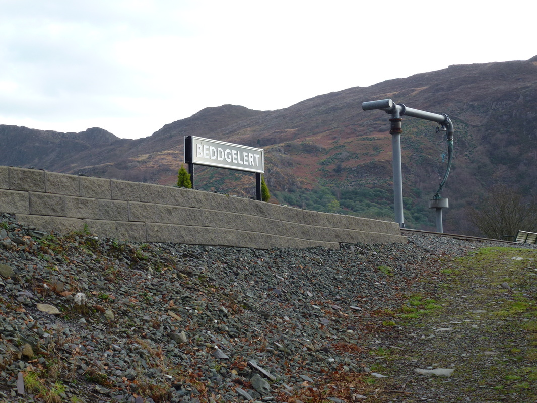
Beddgelert Station on the Welsh Highland Railway
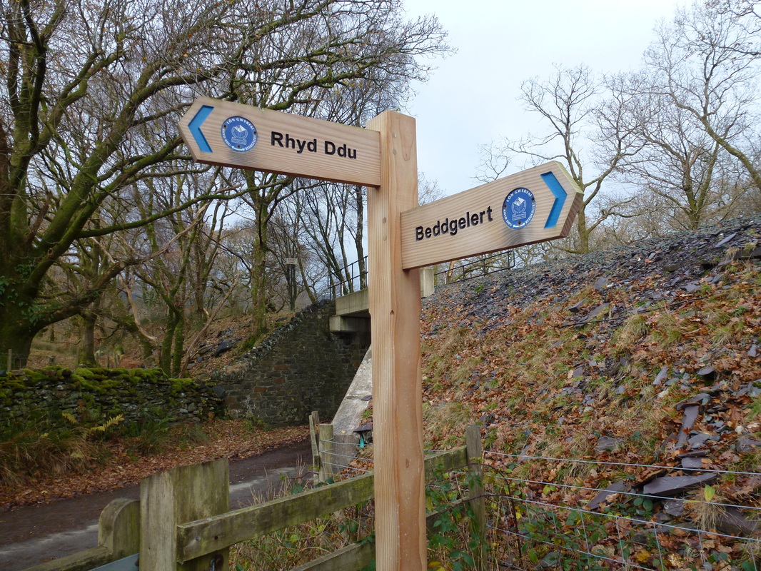
New signs - very nice
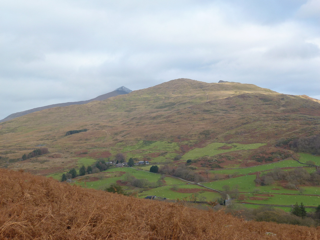
Heading out of Beddgelert, Snowdon appears over the top of Craig Wen with Yr Aran peeping out on the right
Moel Siabod also makes an appearance
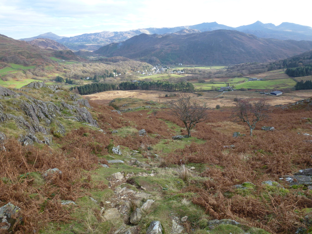
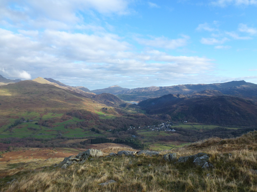
Looking back down to Beddgelert from the start of the ascent
Zooming back out and looking down Gwynant to Moel Siabod
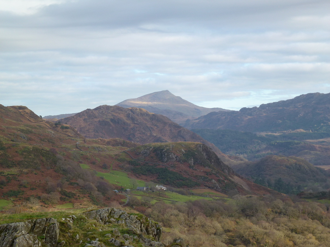
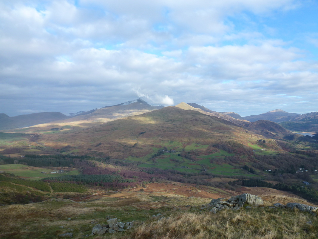
Snowdon from further up the ascent
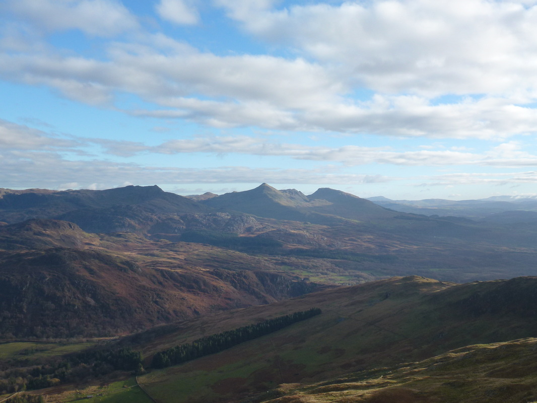
Looking across to Cnicht
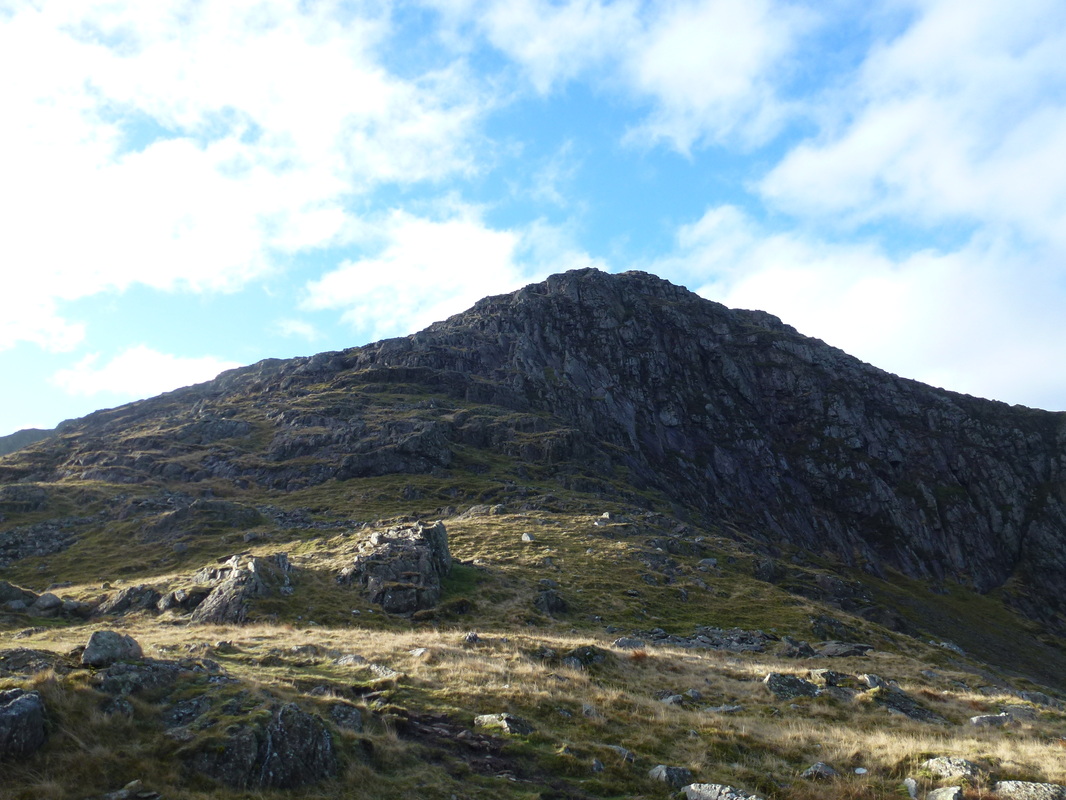
Getting higher now and a bit of scree and scrambling await
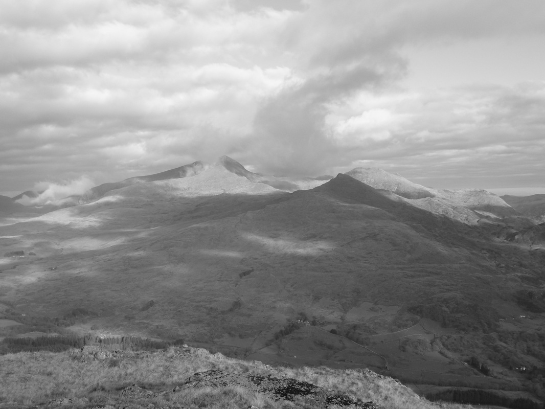
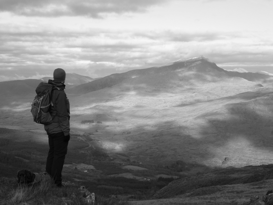
Snowdon & Yr Aran in mono. Y Lliwedd is over the top of Yr Aran
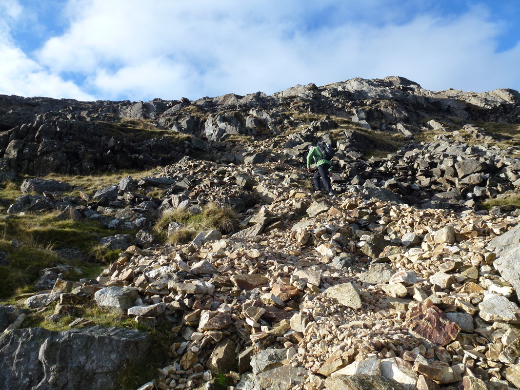
The final part of the ascent is up loose scree with some fairly easy scrambling required
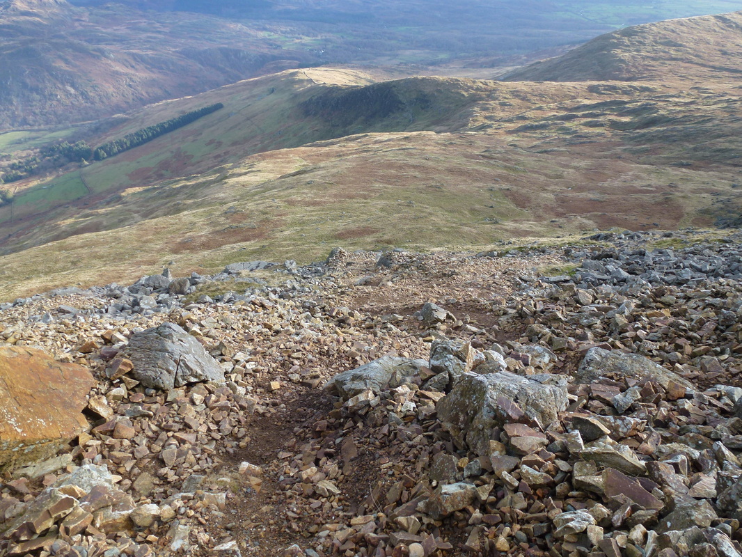
Looking back down the scree slope - this climb was very enjoyable but would be a different proposition with snow & ice on the ground
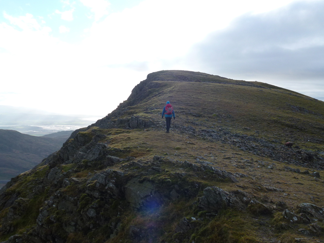
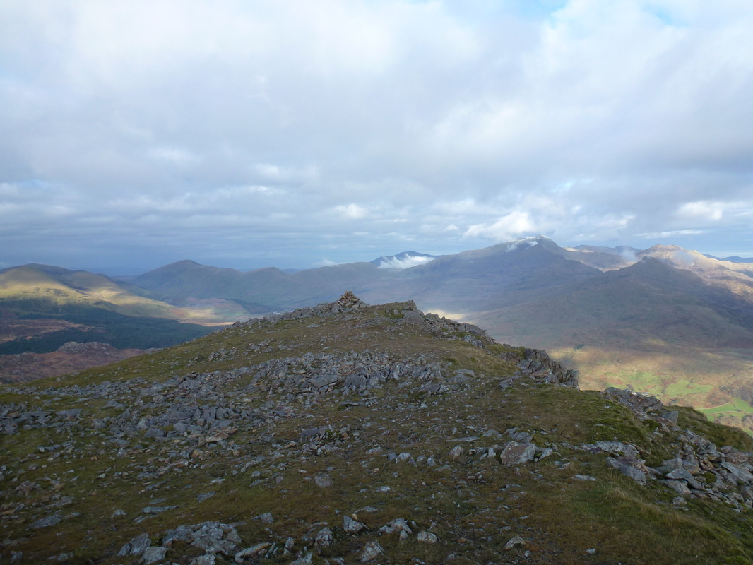
At the top of the scree slope a grassy rise leads to the summit
Angie doing her "scenery bit"
Looking back to the cairn which marks the top of the scree slope
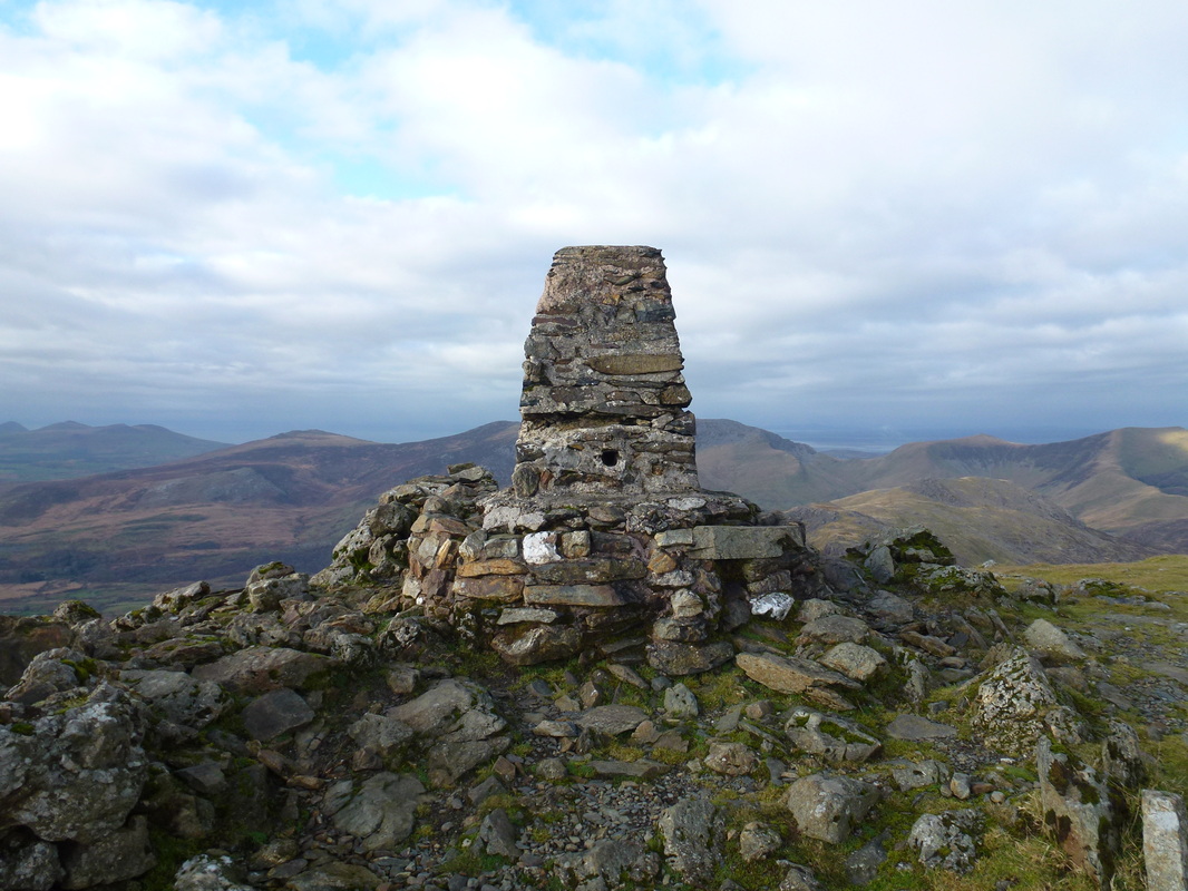
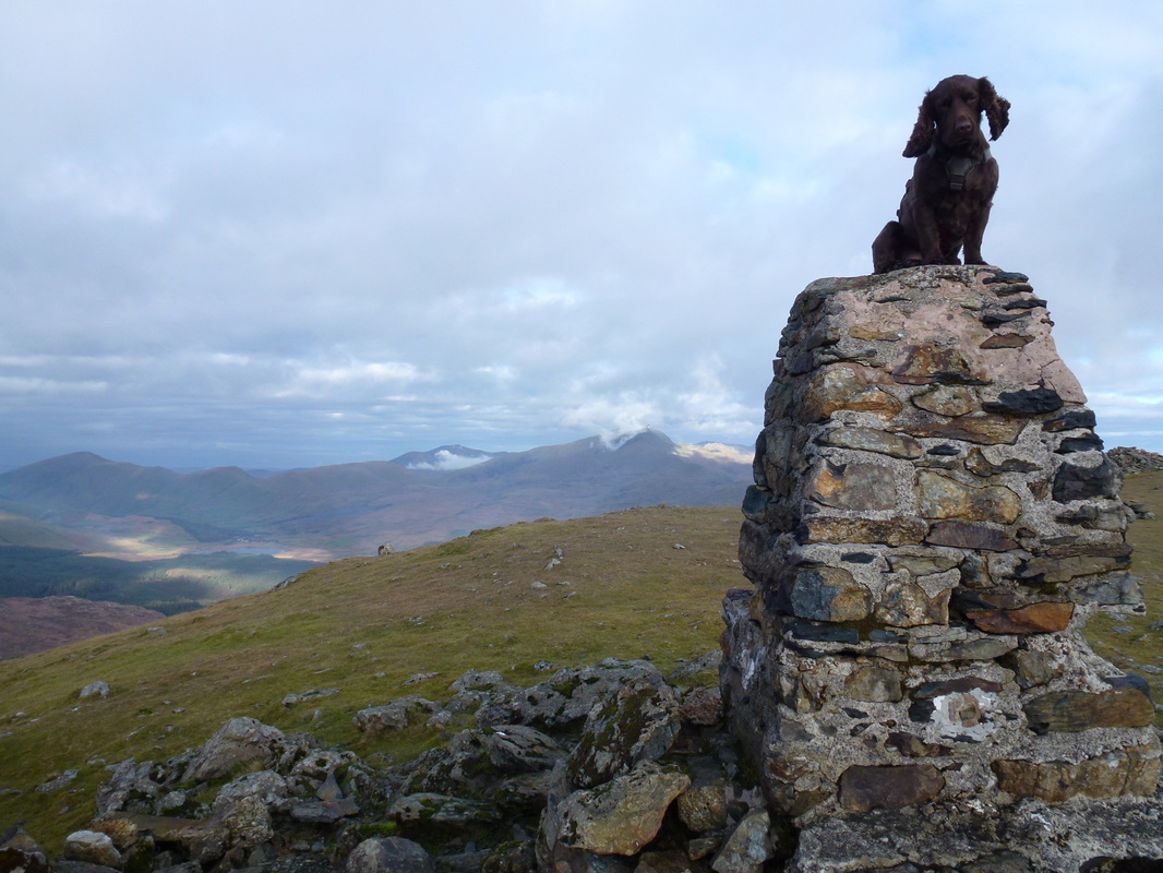
The summit of Moel Hebog......
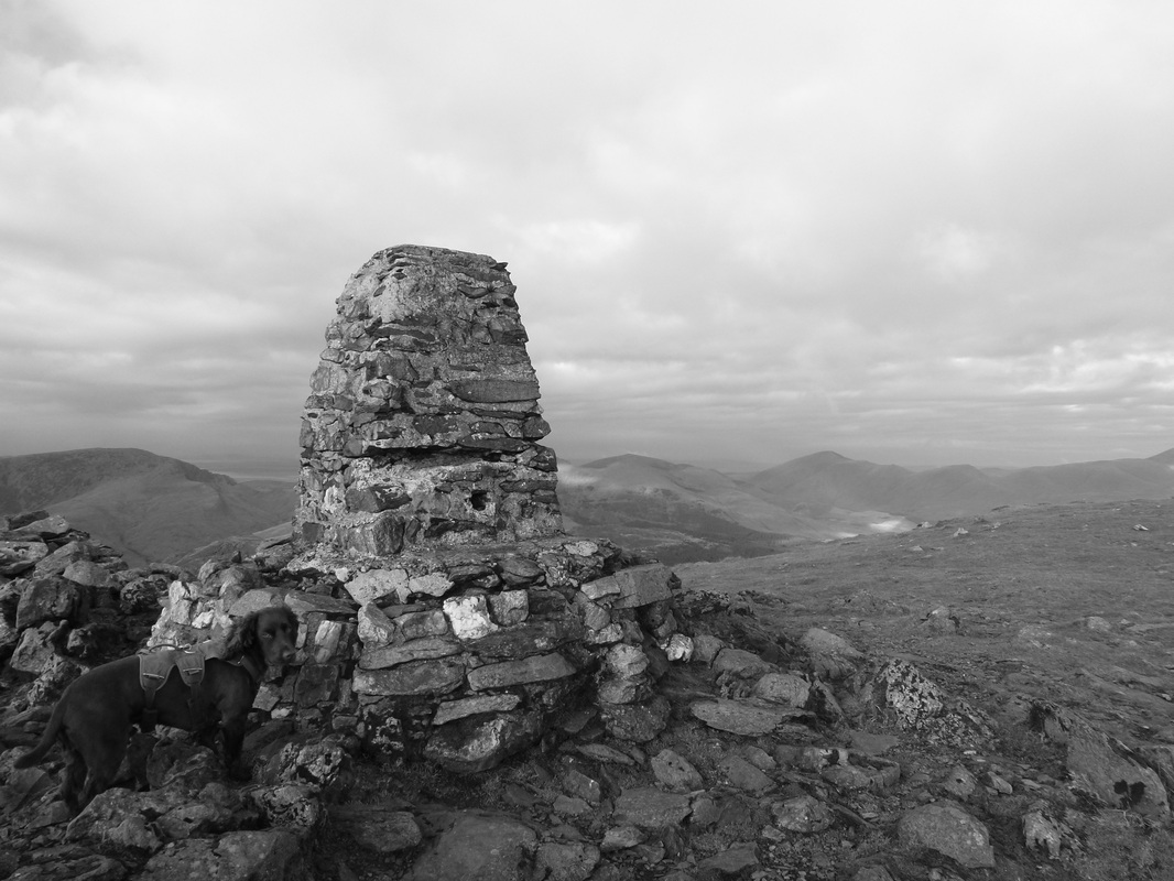
........and in mono. Mynydd Mawr and Moel Eilio are to the right
Any excuse
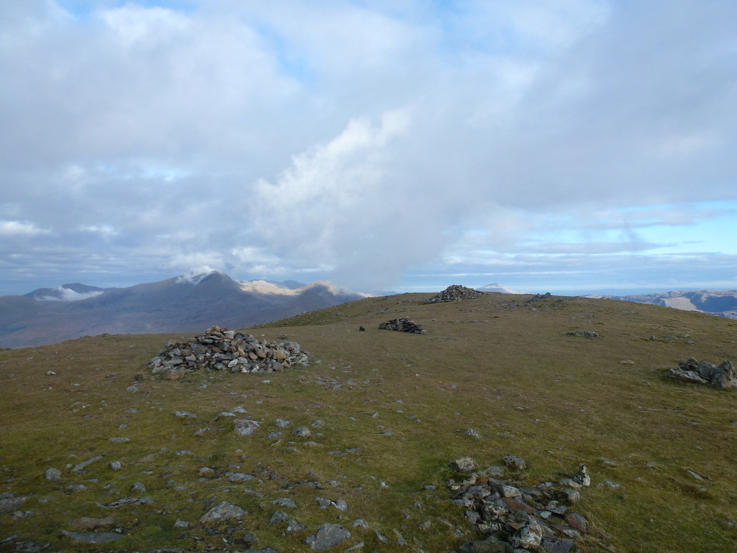
The summit plateau of Moel Hebog
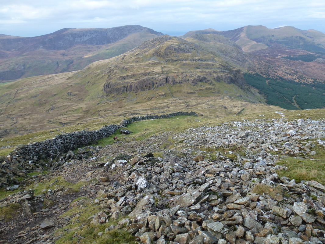
Looking down the steep descent to Moel yr Ogof and the Nantlle Ridge
Descending off Moel Hebog
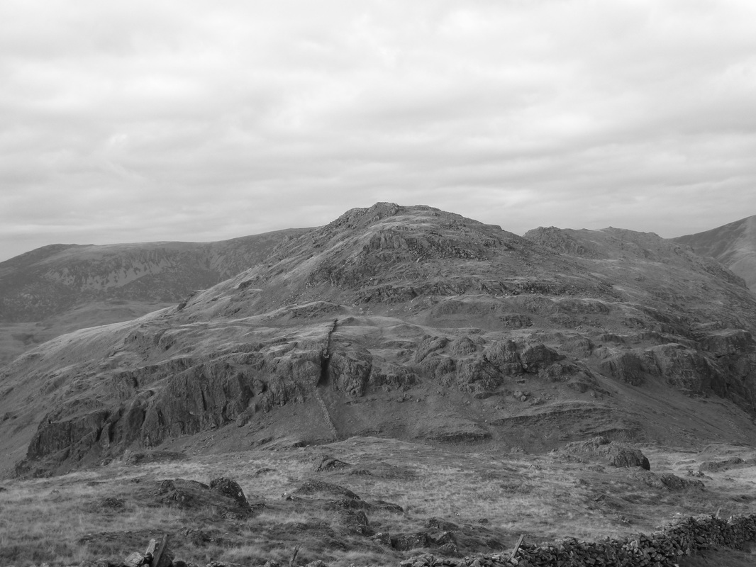
Moel yr Ogof in mono - if you wish to add this lovely summit in to the walk the ascent is up through the rake in the left centre of shot
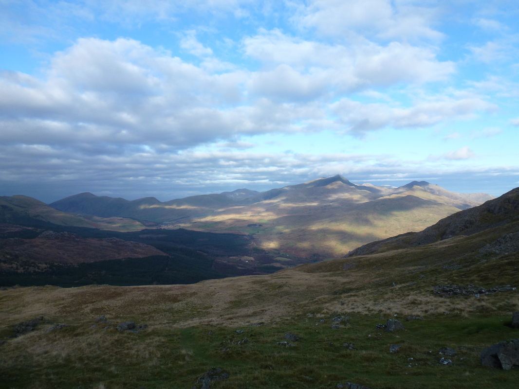
Looking over to Snowdon
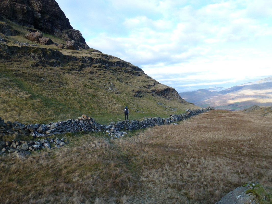
At Bwlch Meillionen the path heads over the wall and turns right to descend to the southern end of Beddgelert Forest
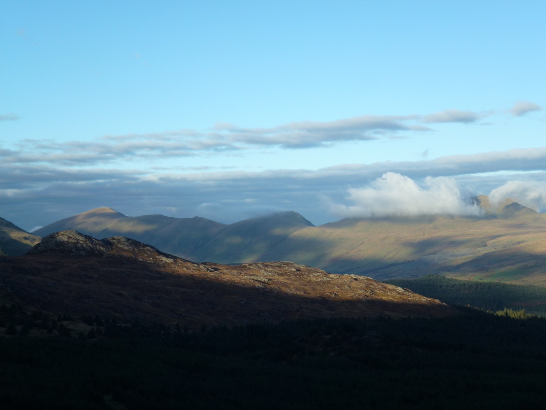
Moel Eilio left and Moel Cynghorion centre. Snowdon is engulfed in cloud.
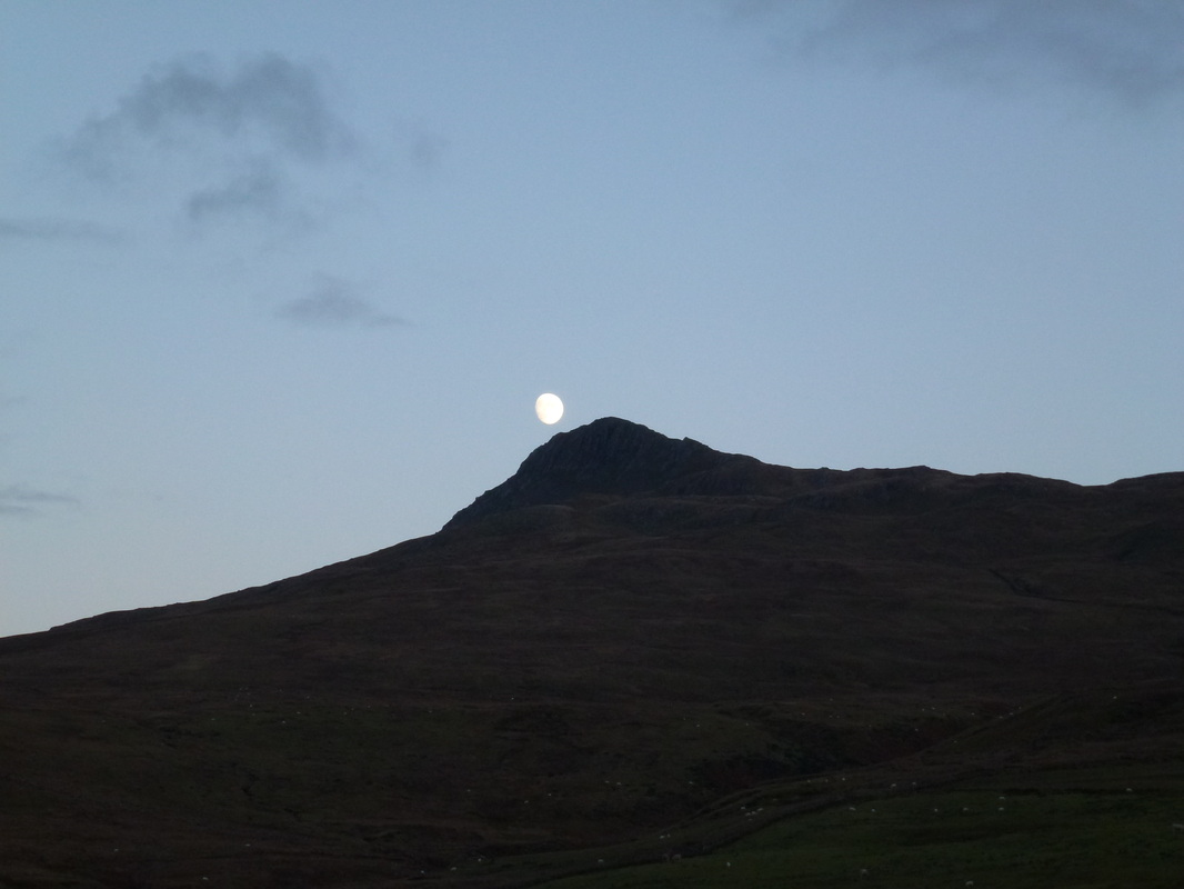
Back at Ffridd Uchaf and the moon above Yr Aran
