Trollers Gill - Wednesday 22 September 2021
Route
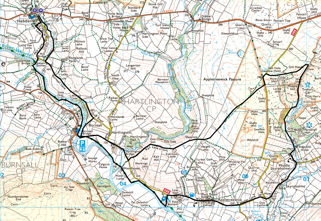
Hebden - Burnsall - Hartlington Bridge - Kail Lane - Hell Hole - Trollers Gill - Skyreholme - Appletreewick - Woodhouse - Burnsall - Scuff Road - Hebden
Parking
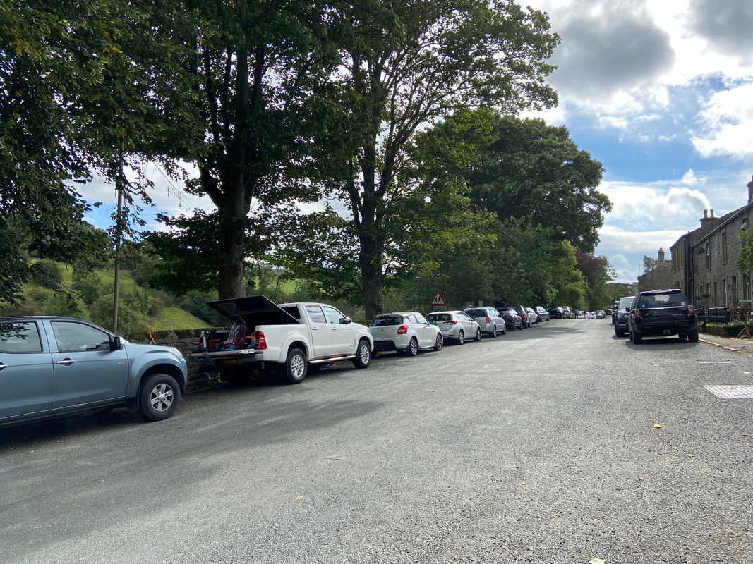
Green Terrace, Main Street, Hebden. The postcode is BD23 5DS.
Mileage
11.1 miles
Terrain
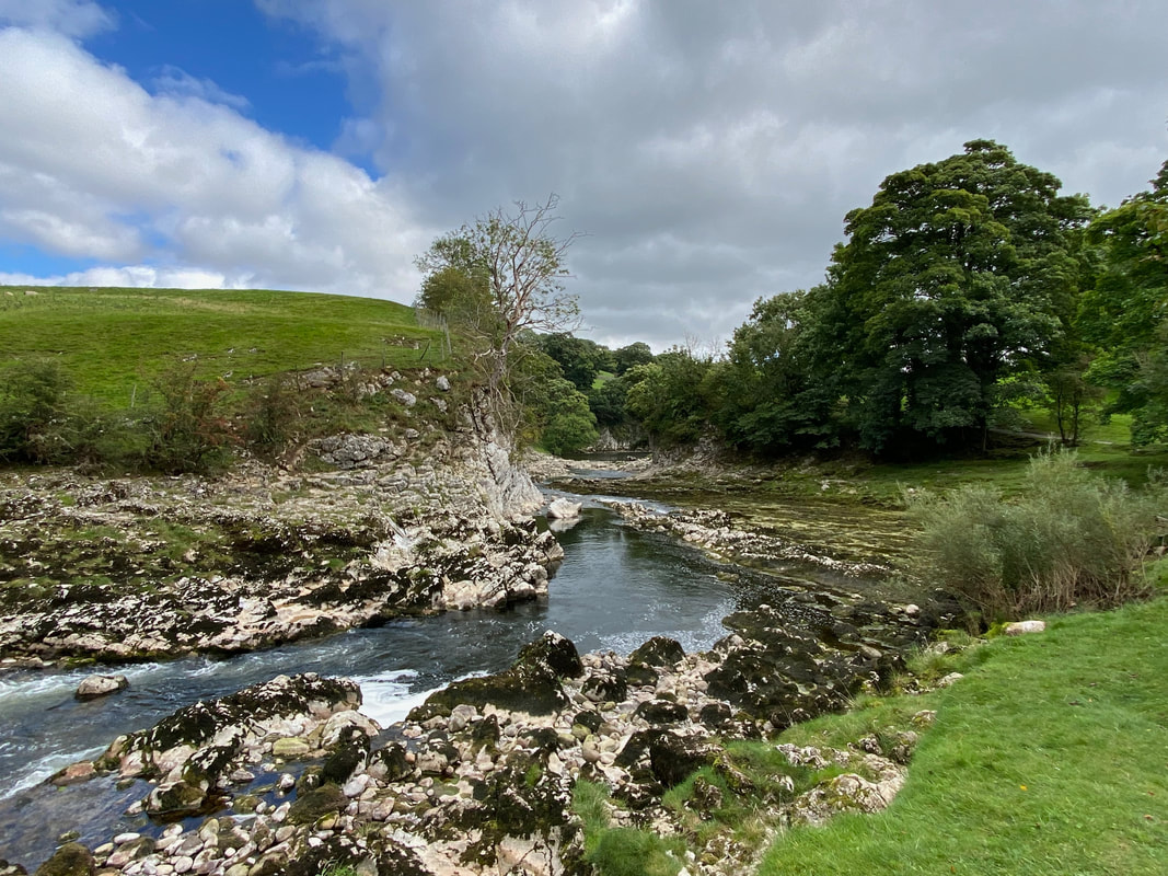
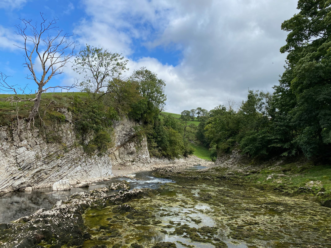
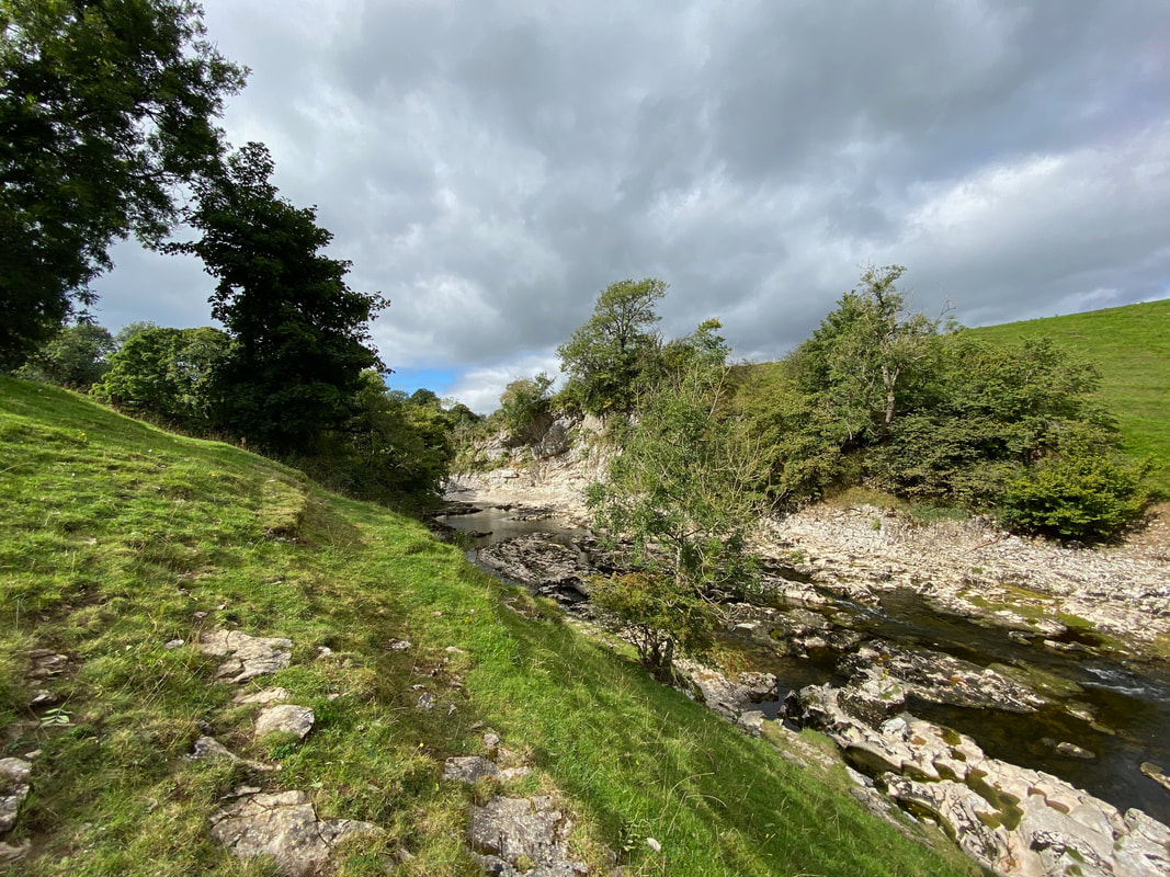
Farmland paths and tracks with some road walking on quiet lanes. The transit through Trollers Gill, whilst not overly difficult requires care to be taken particularly after a spell of rain.
Weather
Sunny with strong breezes
Time Taken
4hrs 30mins
Total Ascent
1190ft (363m)
Map
OL2 Yorkshire Dales, Southern & Western Areas
Walkers
Dave, Angie & Fudge
|
GPX File
|
| ||
If the above GPX file fails to download or presents itself as an XML file once downloaded then please feel free to contact me and I will send you the GPX file via e-mail.
Route Map
The walk starts from opposite Green Terrace on Main Street. If you get here early enough then there is normally space to park.
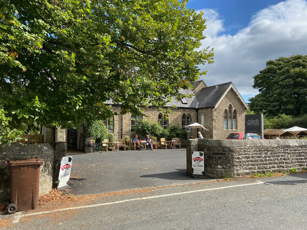
The Old School Tea Room in Hebden which is approximately 200 yards along Main Street from the start. It is an absolutely cracking cafe that does an amazing Full English. We popped in for cake at the end of the walk and very good it was too.
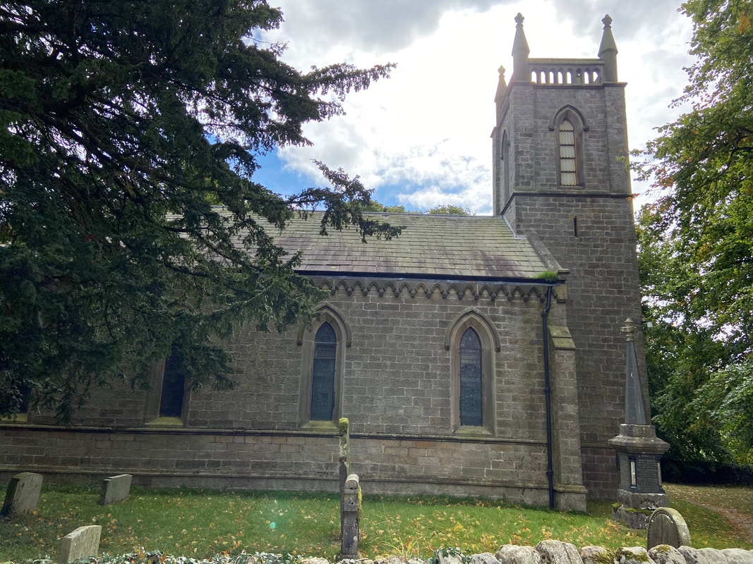
St Peter's Church in Hebden
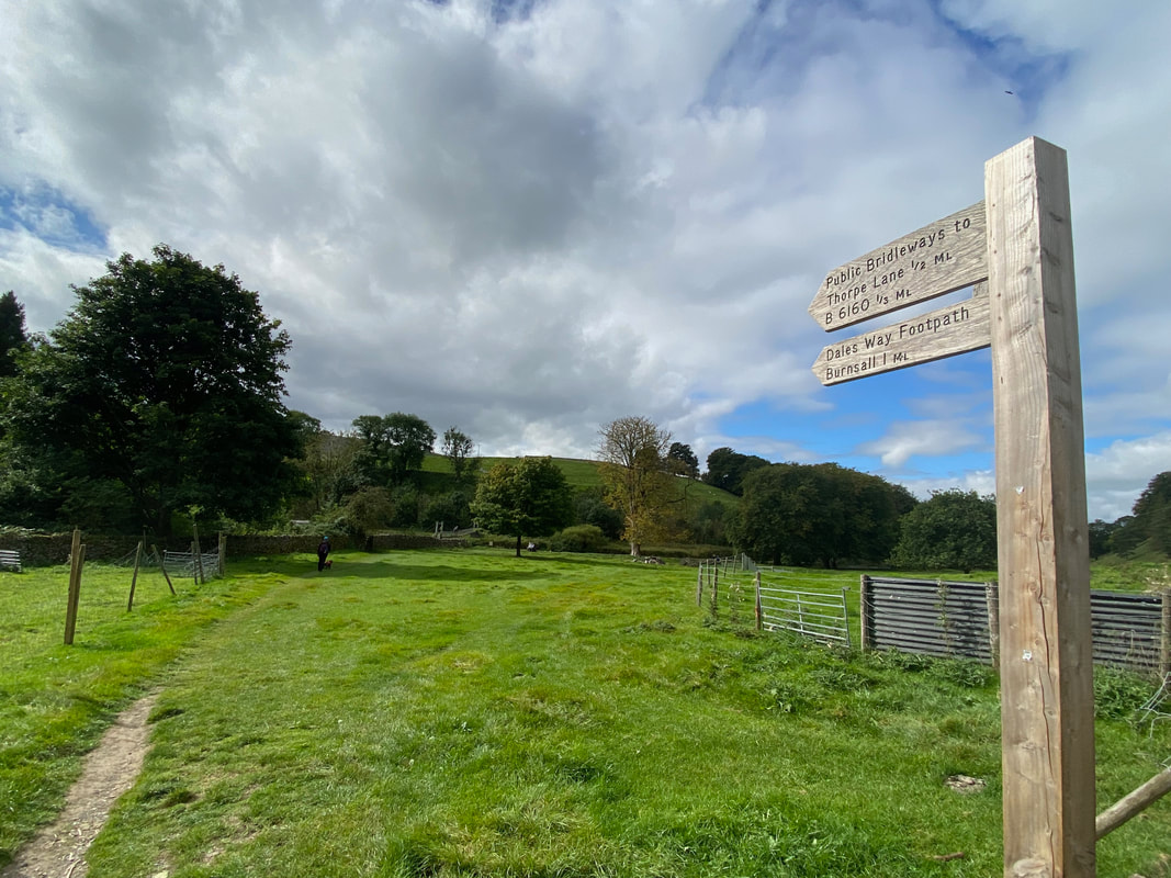
Once through the village a sign points the way down to the River Wharfe and the path to Burnsall
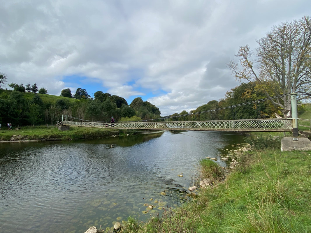
Angie and Fudge cross the River Wharfe by way of the wobbly Suspension Bridge
It is popularly believed that Hebden Suspension Bridge was built after a man named Joseph Slack was drowned when crossing the stepping stones just a short distance from where the bridge stands today (see pic below). The bridge was built by the Hebden blacksmith William Bell in 1885 largely from materials recycled from the lead mines. Strangely, for a suspension bridge it initially had a central support however this was damaged during a flood in 1937, and the bridge was raised and the support removed. The base of the support can still be seen when river levels are low.
It is popularly believed that Hebden Suspension Bridge was built after a man named Joseph Slack was drowned when crossing the stepping stones just a short distance from where the bridge stands today (see pic below). The bridge was built by the Hebden blacksmith William Bell in 1885 largely from materials recycled from the lead mines. Strangely, for a suspension bridge it initially had a central support however this was damaged during a flood in 1937, and the bridge was raised and the support removed. The base of the support can still be seen when river levels are low.
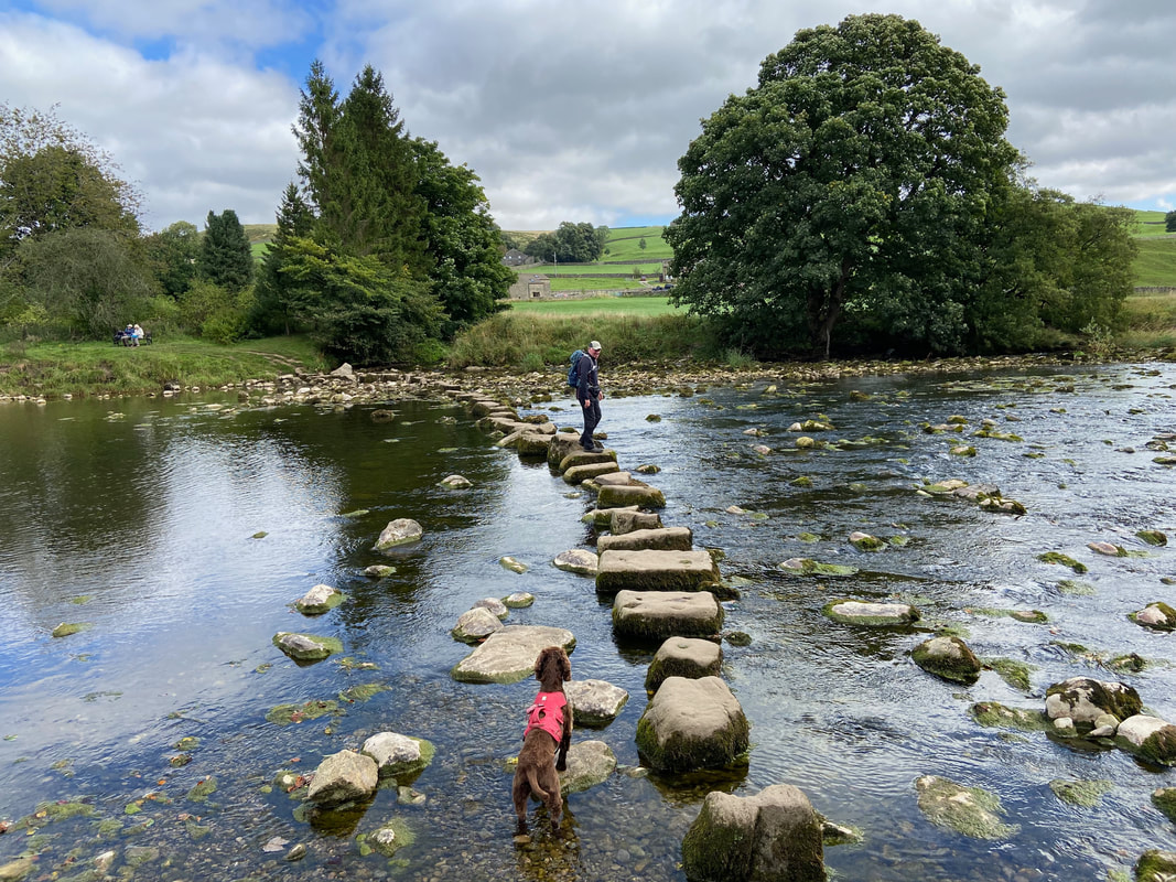
If wobbly bridges are not your thing then the River Wharfe can be crossed via a set of stepping stones a few yards away downstream from the bridge. The stepping stones were restored in 2001 by the Yorkshire Dales National Park as a Millennium project.
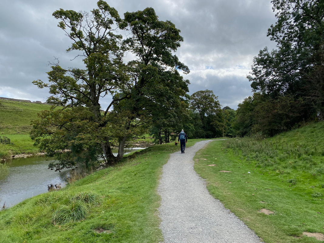
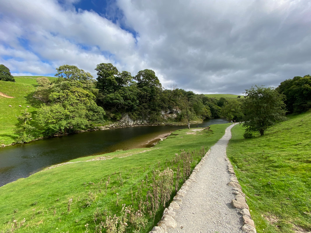
Once over the river a restored gravel path heads in the direction of Burnsall
The path continues along the River Wharfe passing the limestone gorge of Loup Scar
Loup Scar and the River Wharfe
From Loup Scar the route passes Wilfrid Scar
This is a lovely section of the walk alongside the Wharfe
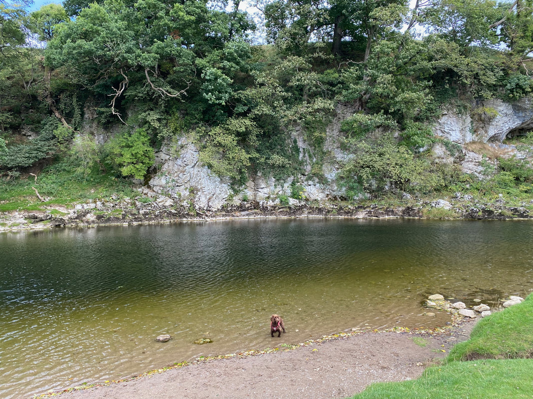
As usual Fudge was only interested in arsing about in the river and there was plenty of that today
Tiny things please tiny minds
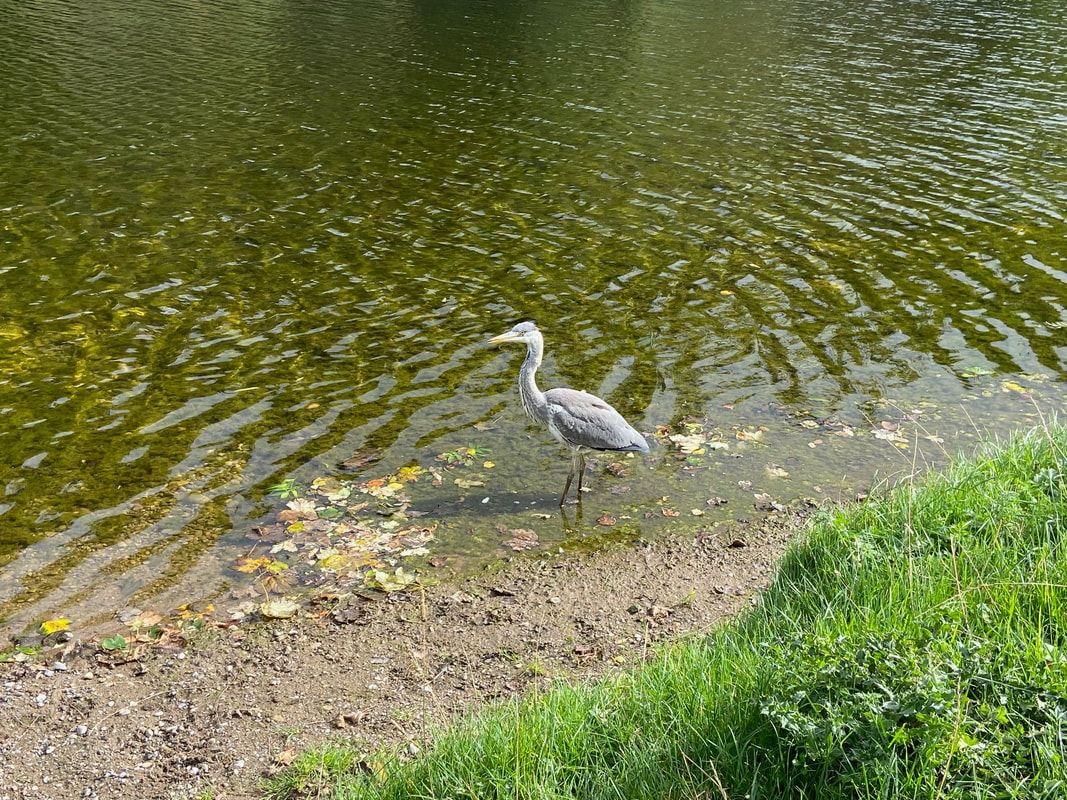
No it is not a plastic one! It is very rare that we have been able to get this close to a Heron. Normally what happens is we get the camera out only for it to fly off just before taking the picture. On this occasion, Angie spotted the Heron downstream and therefore after getting a grumpy Fudge out of the water, we managed to capture this beautiful bird.
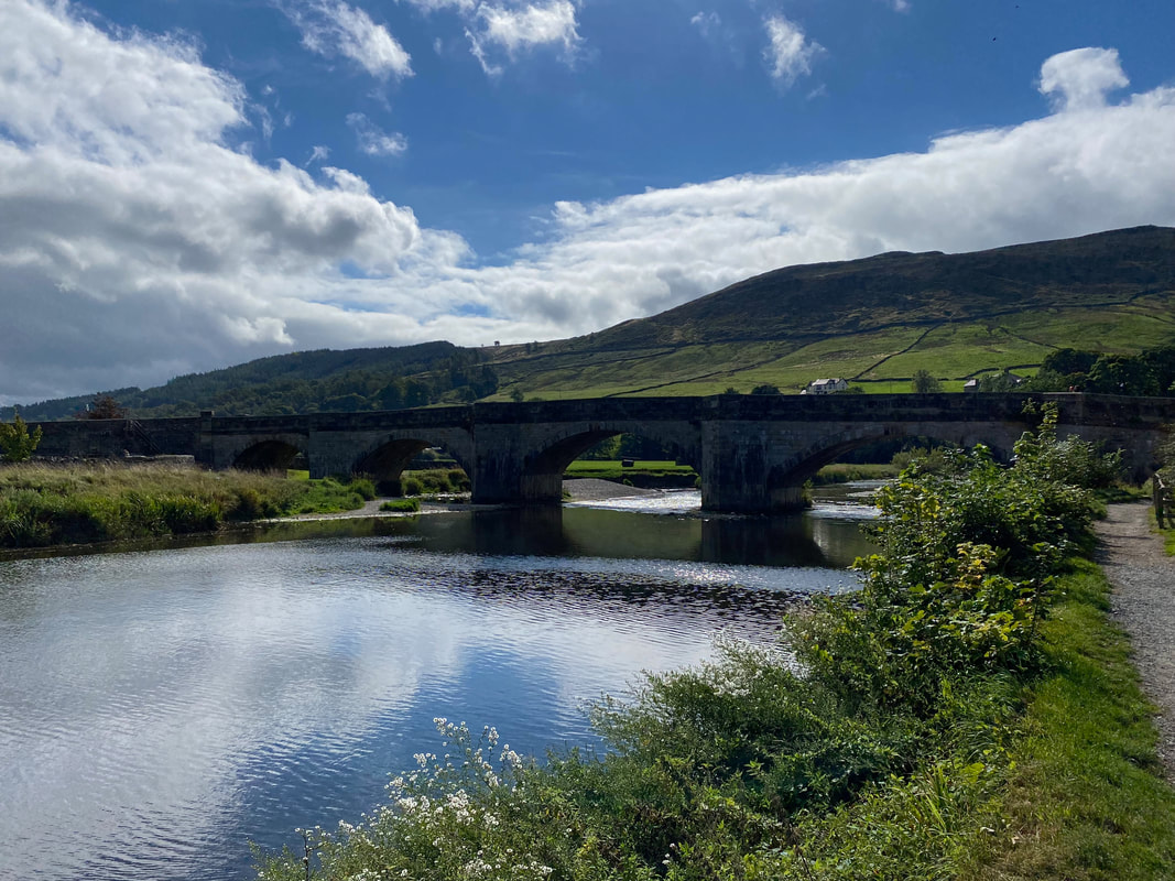
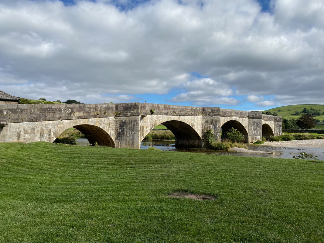
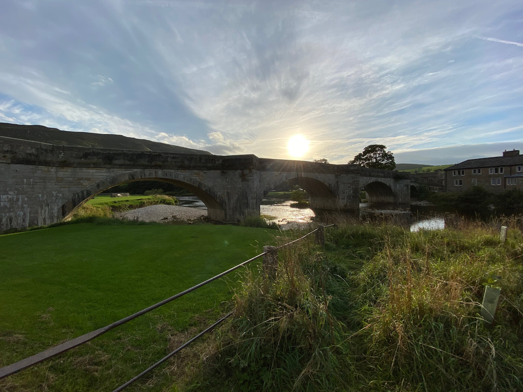
Burnsall Bridge
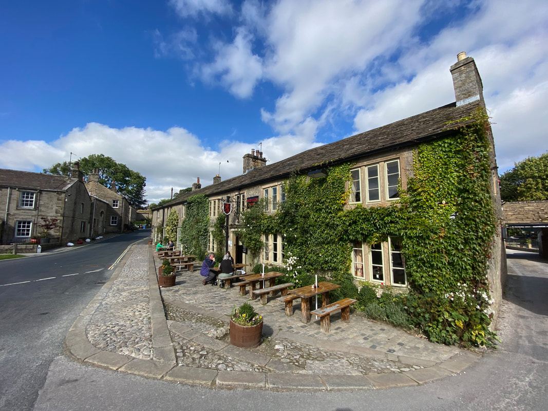
The Red Lion at Burnsall - the pub has a massive Beer Garden out the back next to the river
Burnsall Bridge from the eastern bank of the river. Our route would cross the bridge and then turn right.
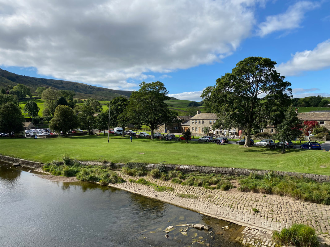
The village green at Burnsall - this place is heaving in the Summer
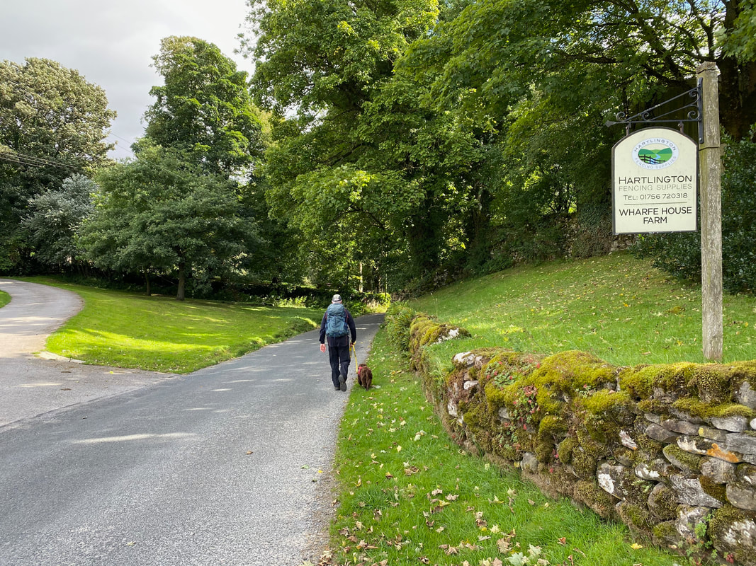
The route continues along a quiet lane passing through the hamlet of Hartlington
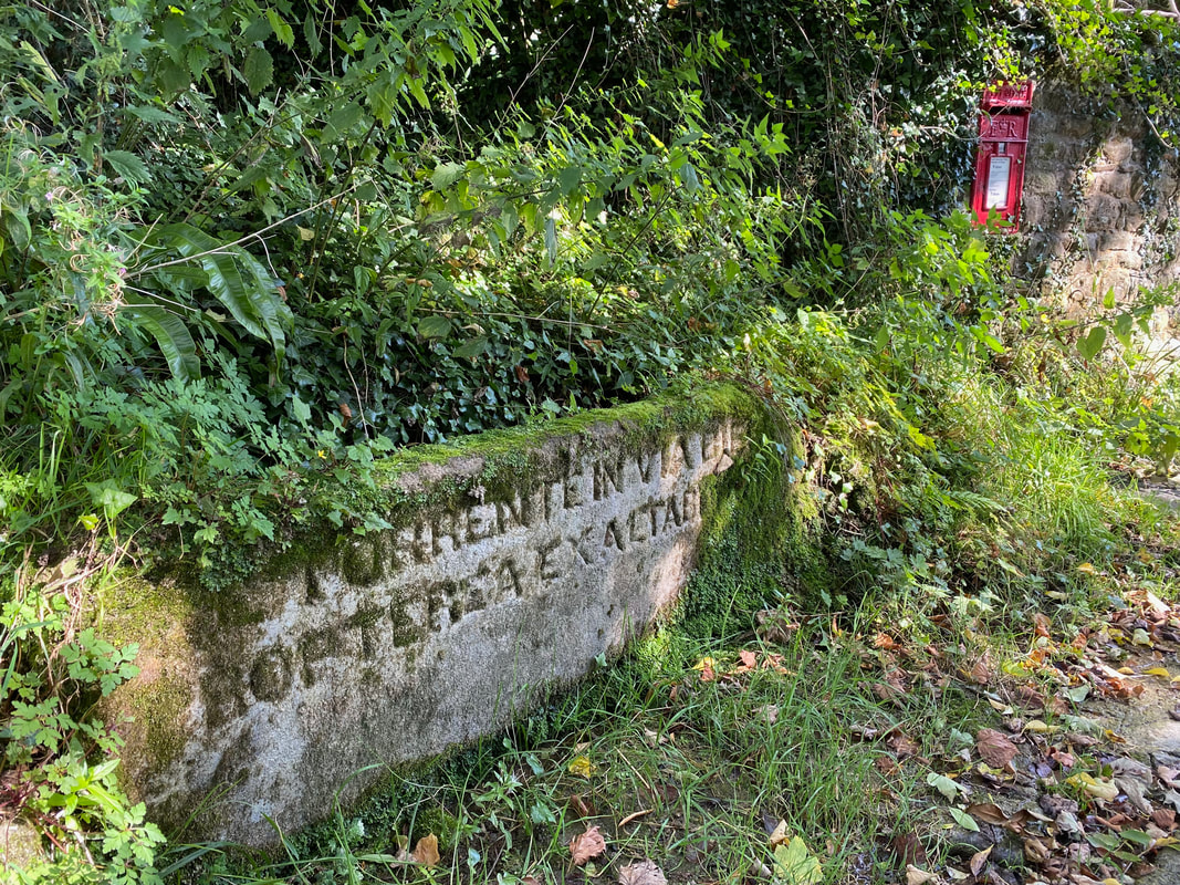
Next to Hartlington Bridge is a large stone with a latin phrase engraved within
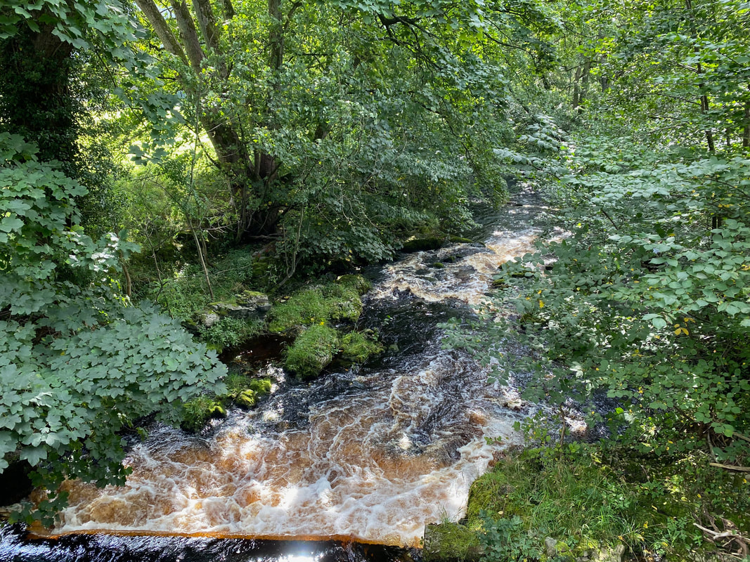
The River Dibb taken from Hartlington Bridge - the river eventually flows into the Wharfe
A few yards after the bridge a turning on the left heads up a track called Kail Lane
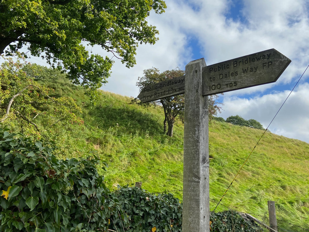
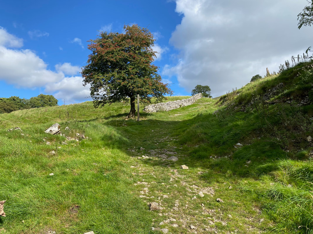
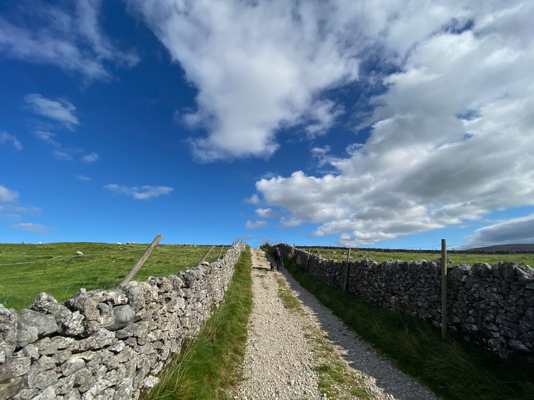
Kail Lane heads gently uphill towards New Road
Looking back down Kail Lane to Burnsall & Thorpe Fell
Continuing along the track of Kail Lane
At the end of Kail Lane the route reaches New Road. We turned left here and after a short walk along the road headed to the right.
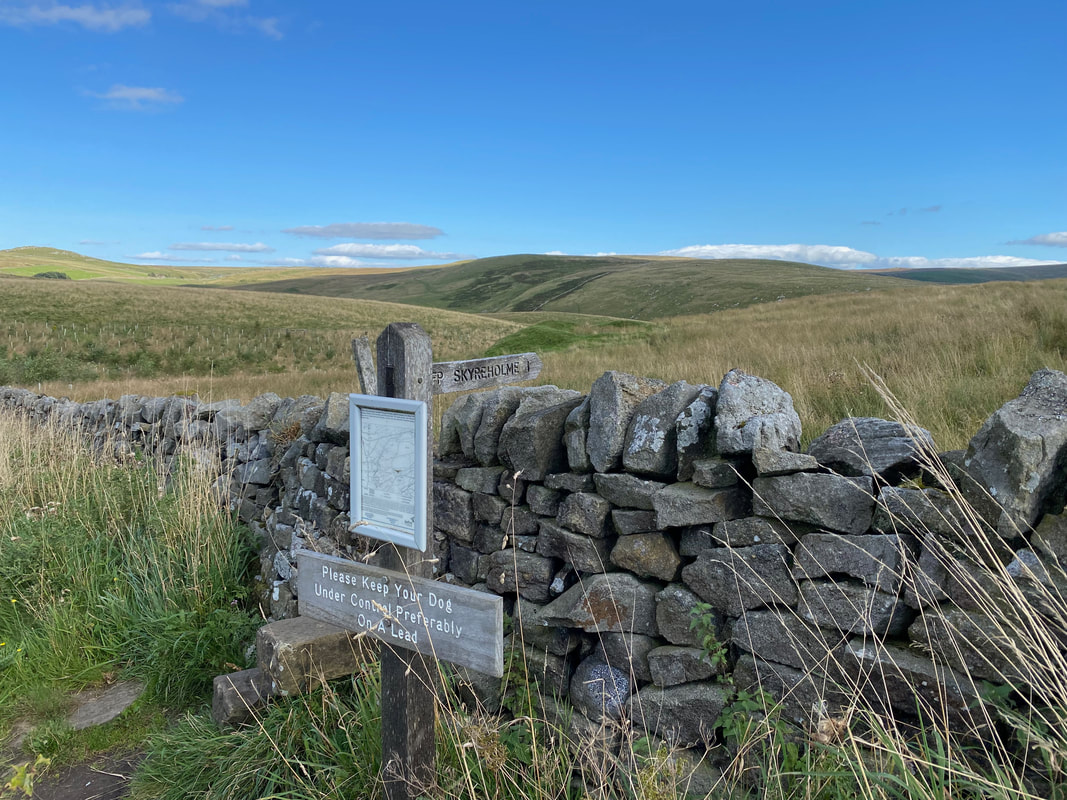
After turning right a stone stile is climbed signposted Skyreholme
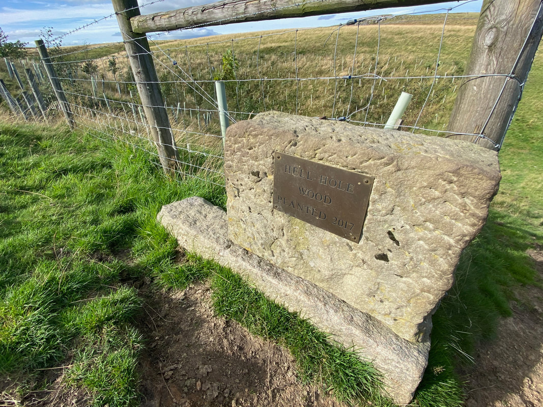
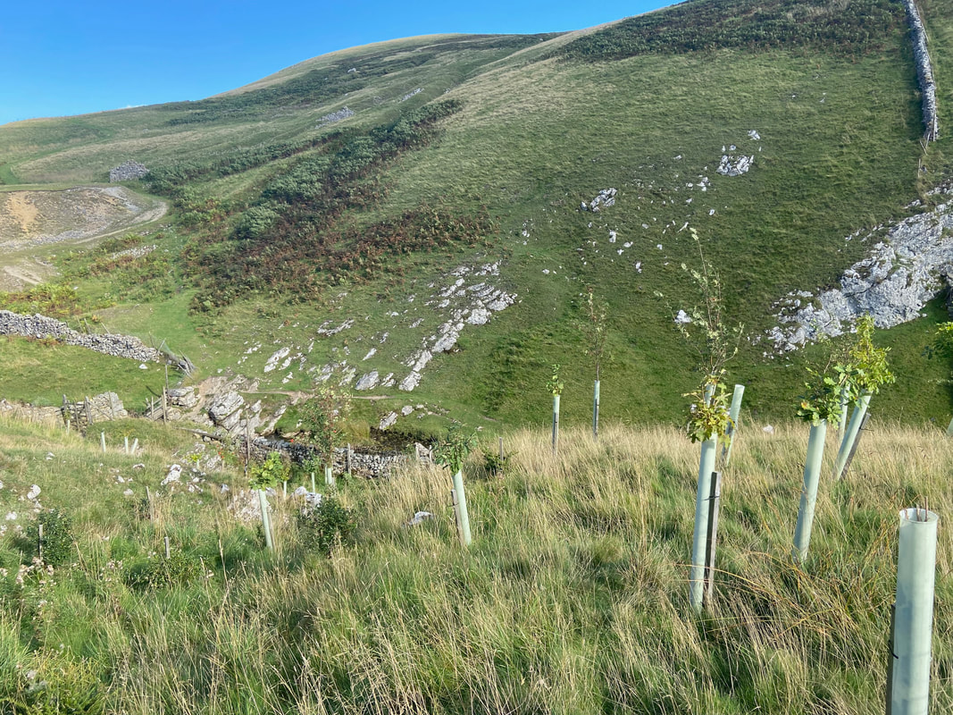
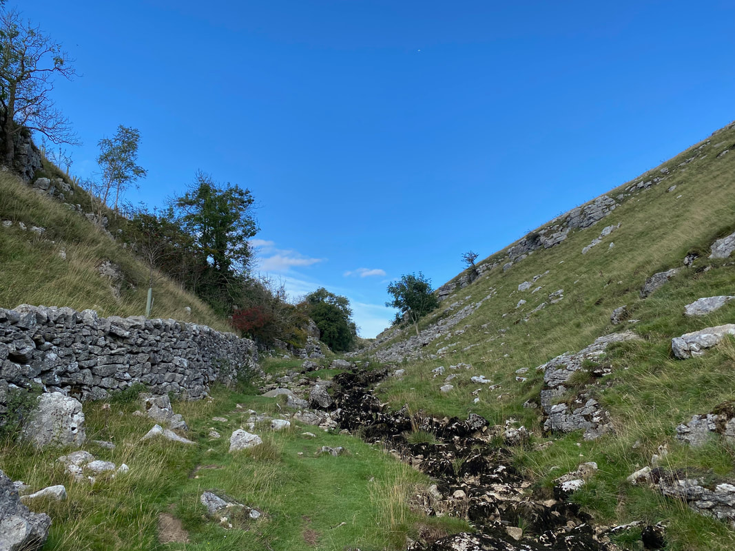
Shortly before Trollers Gill we passed the recently planted Hell Hole Wood. Hell Hole itself is a pothole just above Trollers Gill.
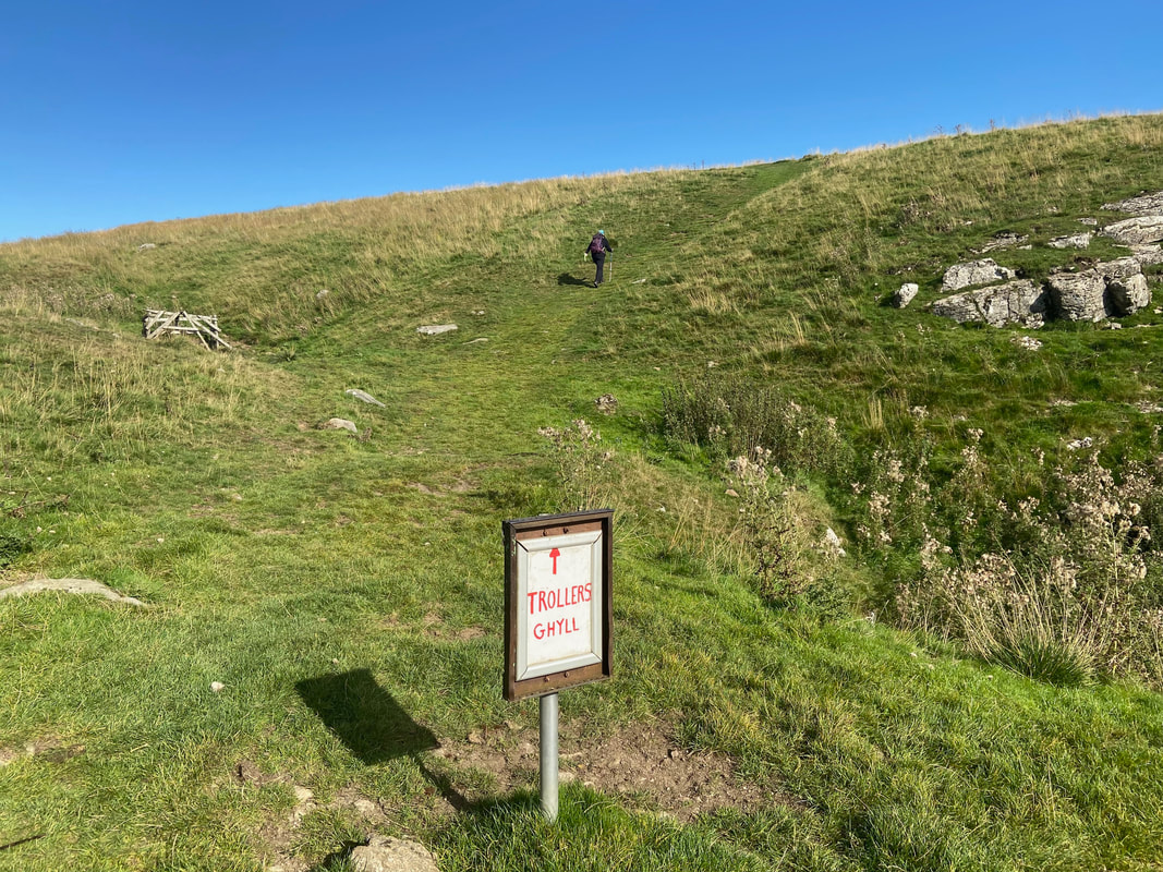
From Hell Hole Wood there is a short, steep climb to reach the area above Trollers Gill
At the top of the rise, the path heads steeply down to the gate on the left
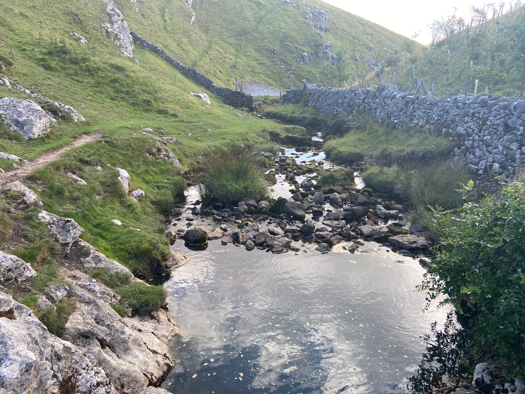
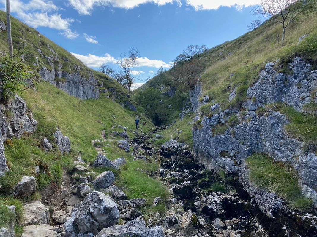
The top of Trollers Gill at Skyreholme Beck
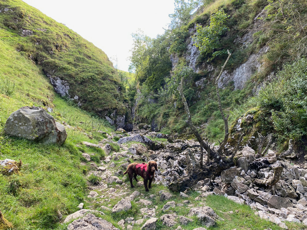
The approach to Trollers Gill is via the left hand side of the beck
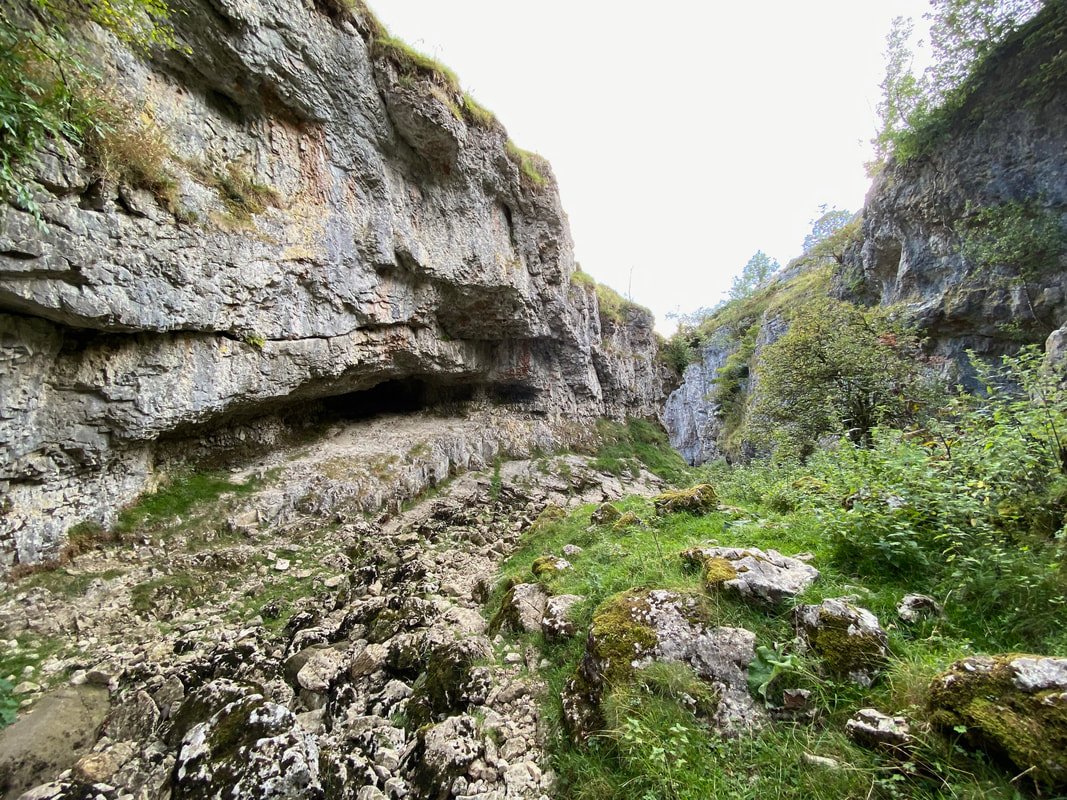
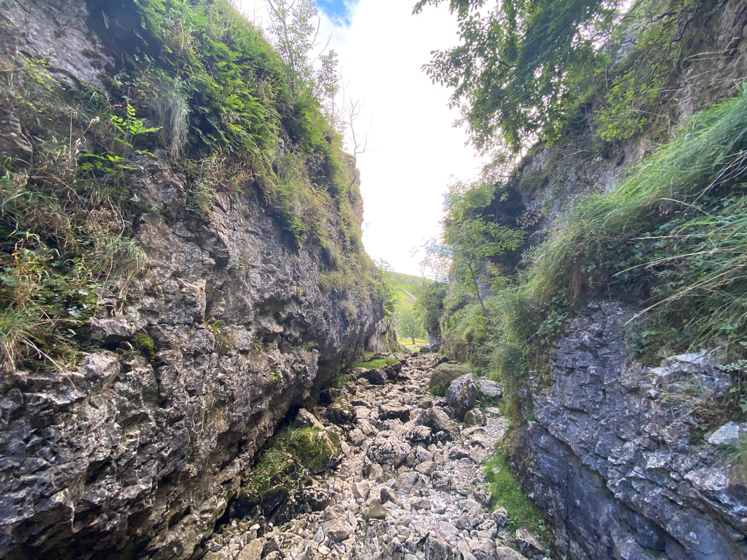
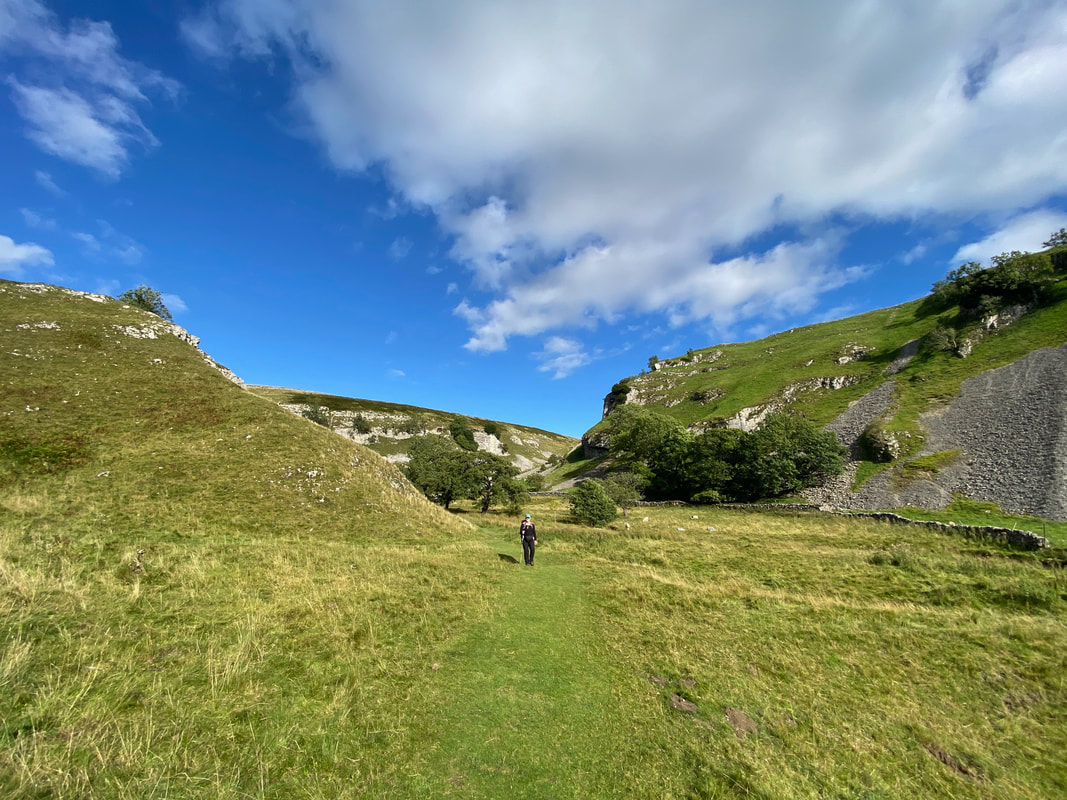
Passing through the entrance to Trollers Gill
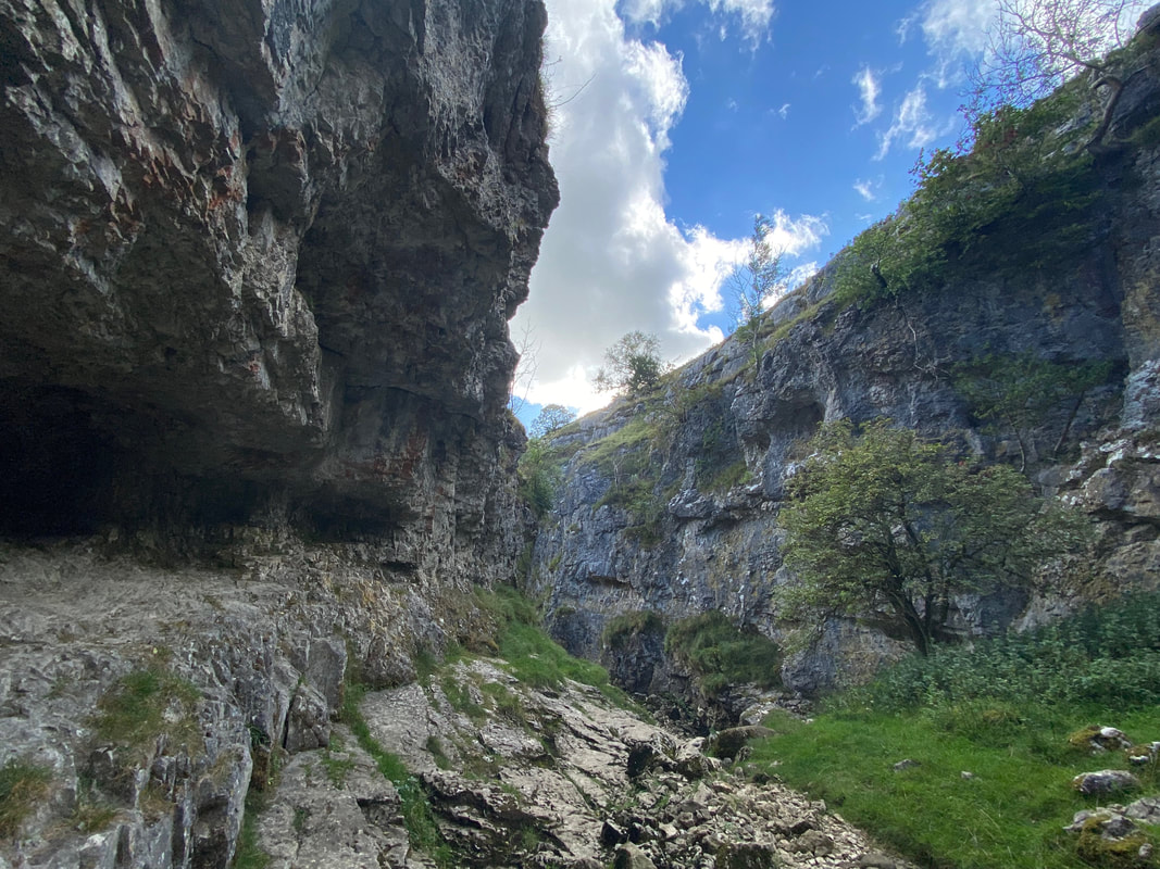
Entering Trollers Gill. The limestone gorge is half a mile in length and is also known as Trollerdale. The name Trollers is from troll and ears ('arse'), therefore the name translates as "the troll's arse", presumably after the supposed existence of trolls here. "Arse" is commonly used for a buttock-shaped hill.
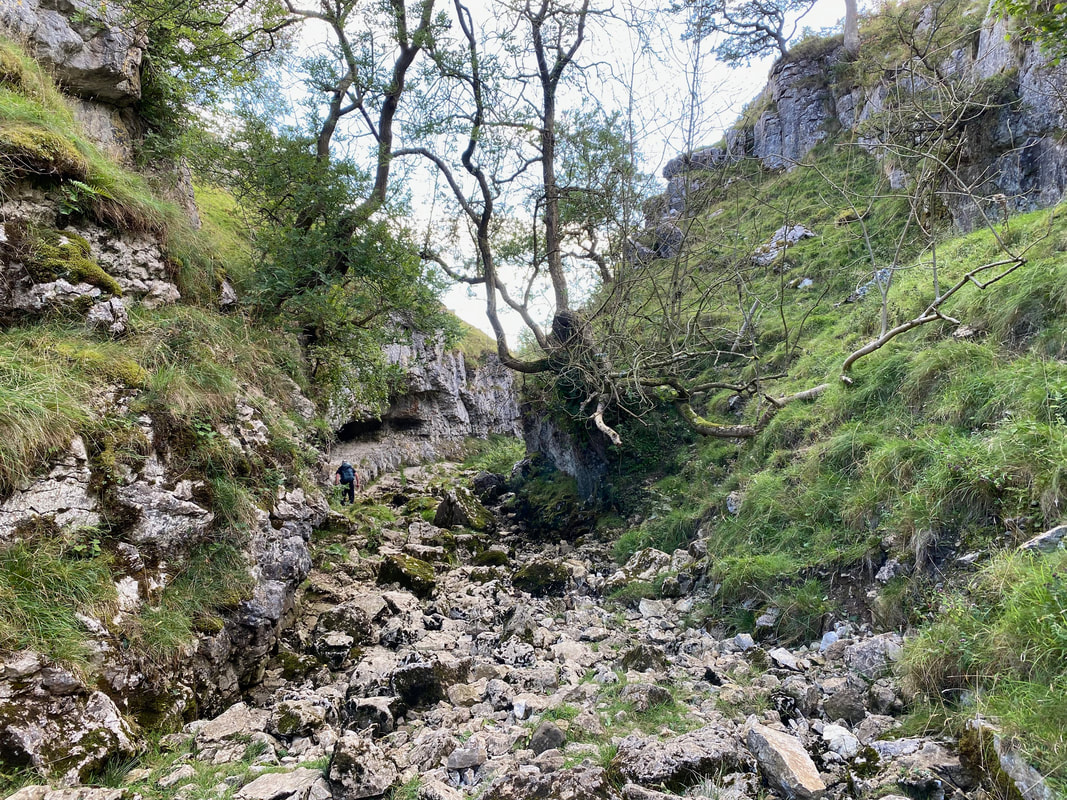
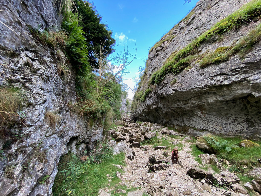
The gorge becomes more steep sided as progress is made
Continuing through the gorge
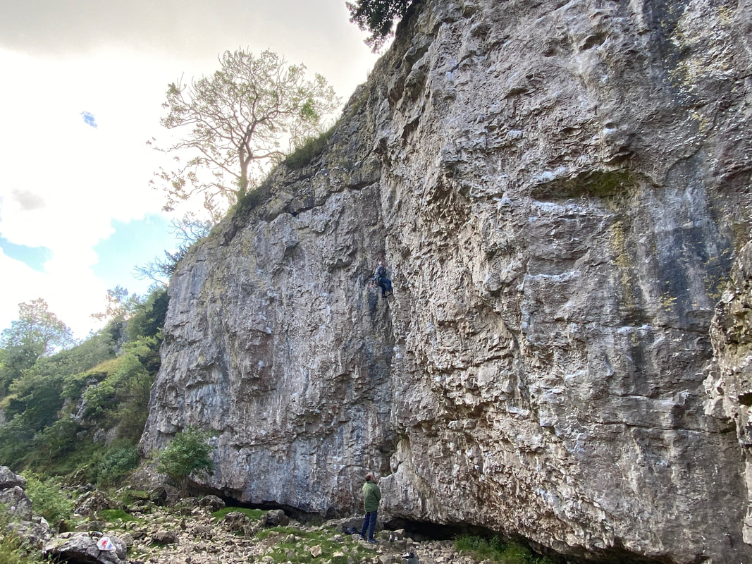
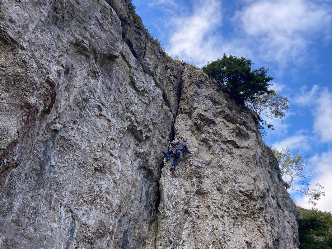
Last time we were here we saw a climber making his way up the side of the gorge and here was another one
Safe I know but rather you than me matey
About half way through the gorge we began to make our descent out the other end
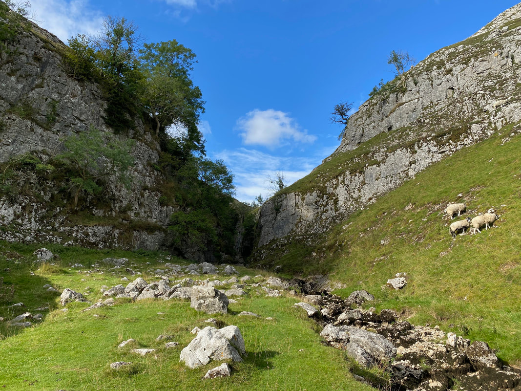
Approaching the gorge's exit
Looking back up the gorge from near the exit
The gorge's southern exit/entrance
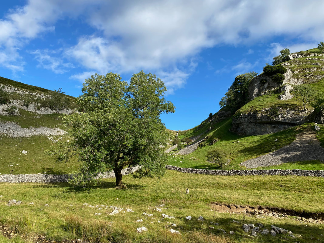
Looking across to Old Man's Scar
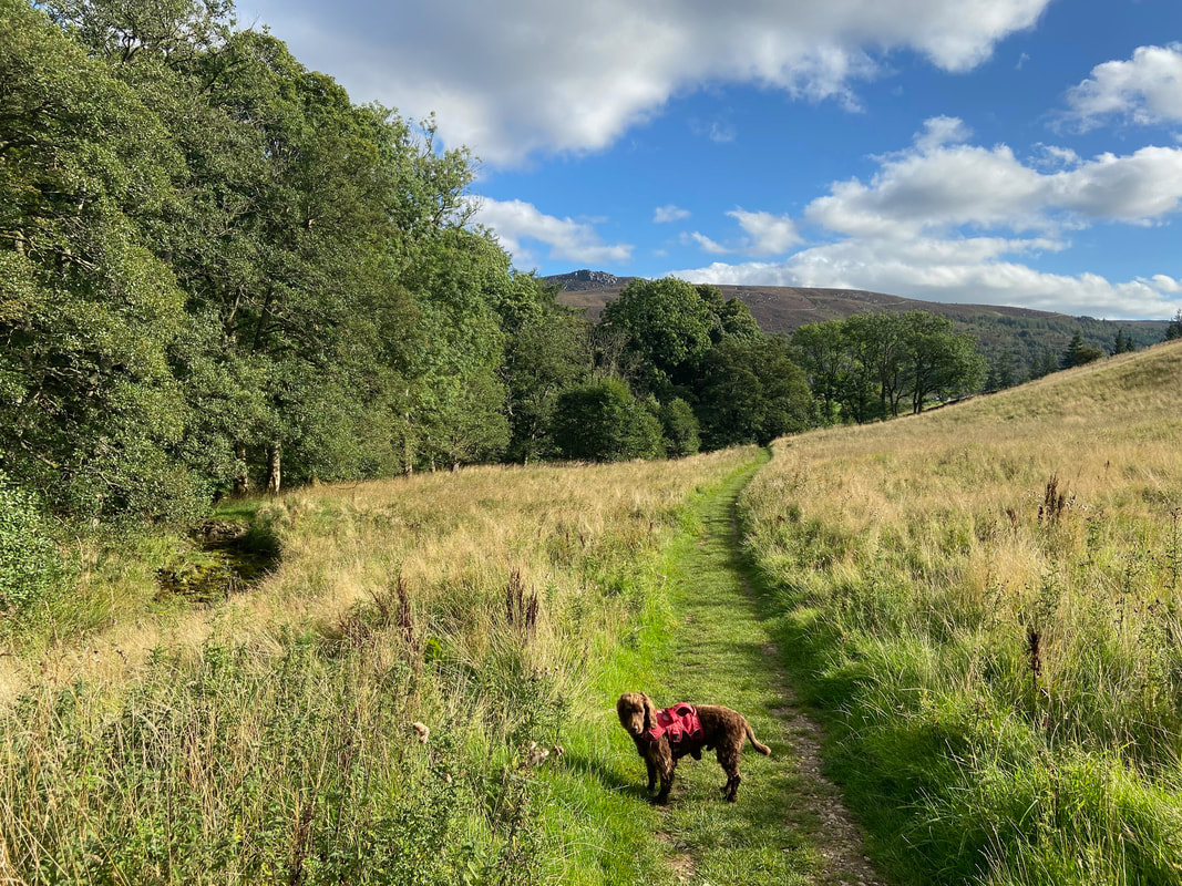
The exit from the gorge joins a delightful grassy path
Passing the unseen Parceval Hall to the left with Simon Seat now in view
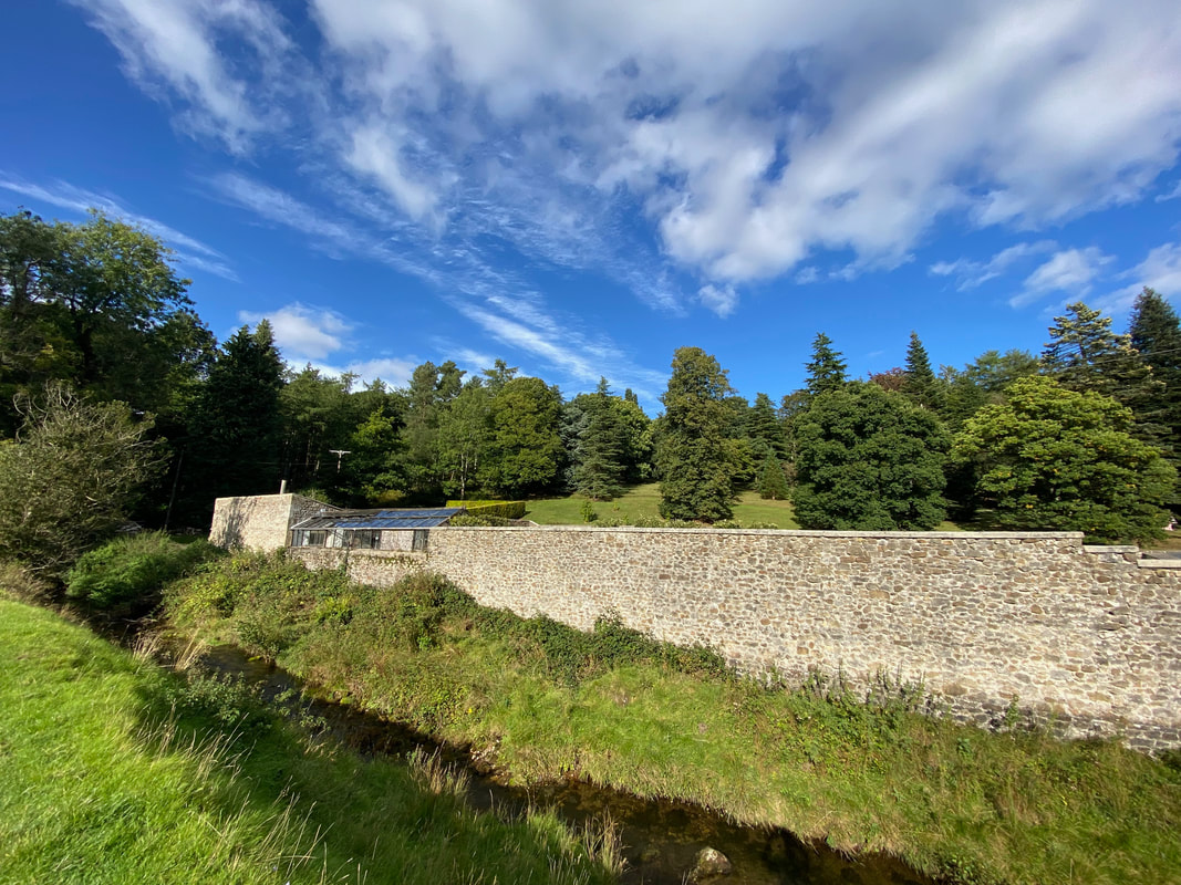
The garden outbuildings at Parcevall Hall - there is a tea room up at the Hall however we gave it a miss
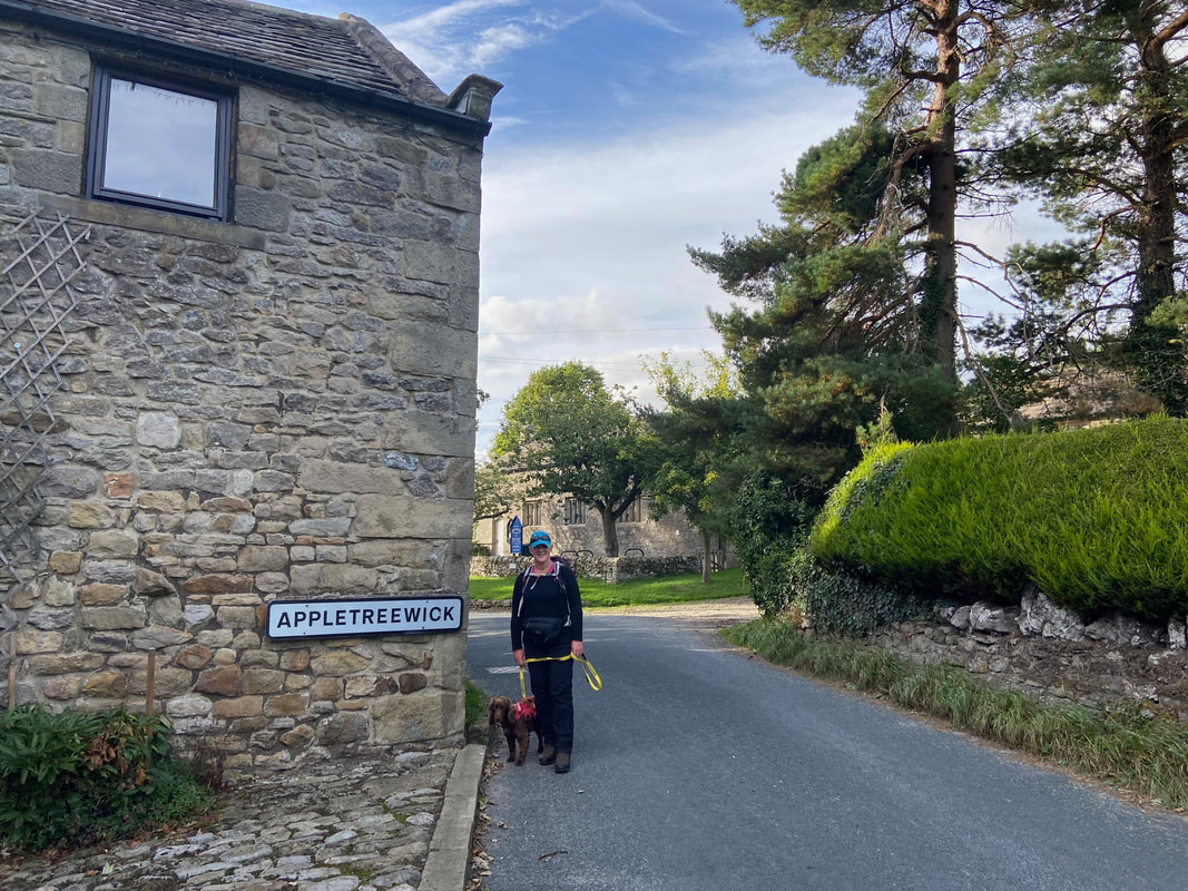
Entering the delightful village of Appletreewick (pronounced by the locals as "Ap-trick")
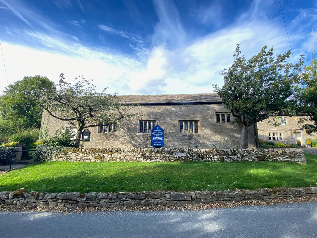
St John the Baptist Church in Appletreewick
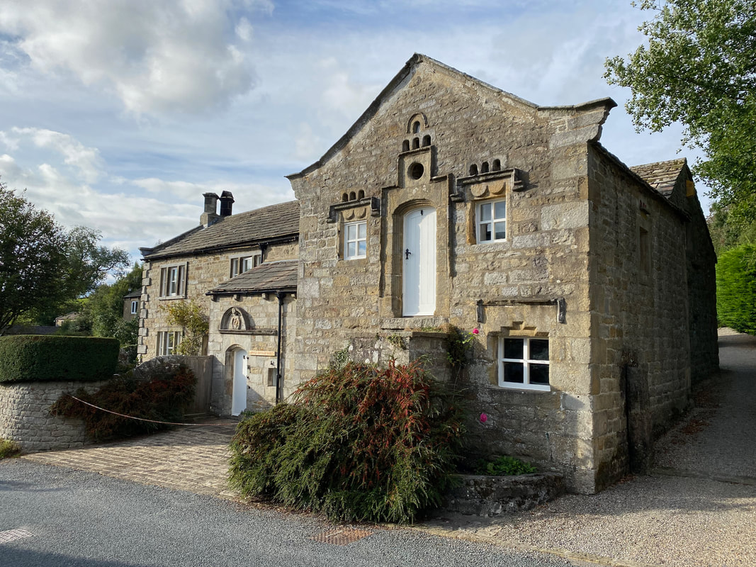
The Mock Beggar Hall or "Monks Hall" in Appletreewick complete with Dovecot frontage
A Mock Beggar Hall or Manor is 'A grand, ostentatious house, where no hospitality is afforded, neither is any charity given'. The house is in what was the demesne (a piece of land attached to a manor and retained by the owner for their own use) of Appletreewick, owned by the monks of Bolton Priory until the Dissolution, when the King sold the land to the Master of the Rolls and Prosecutor of Anne Boleyn, Sir Christopher Hales. The house was a grange, and possibly inhabited by lay brothers from the Priory, administering the demesne property and lead mines with an obligation to provide food and shelter to passing travellers.
A Mock Beggar Hall or Manor is 'A grand, ostentatious house, where no hospitality is afforded, neither is any charity given'. The house is in what was the demesne (a piece of land attached to a manor and retained by the owner for their own use) of Appletreewick, owned by the monks of Bolton Priory until the Dissolution, when the King sold the land to the Master of the Rolls and Prosecutor of Anne Boleyn, Sir Christopher Hales. The house was a grange, and possibly inhabited by lay brothers from the Priory, administering the demesne property and lead mines with an obligation to provide food and shelter to passing travellers.
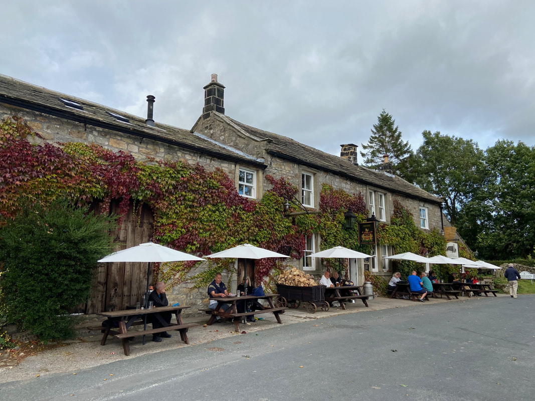
One of two excellent pubs in the village - to the left and out of sight is a small beer garden therefore we stopped off for a quick one.
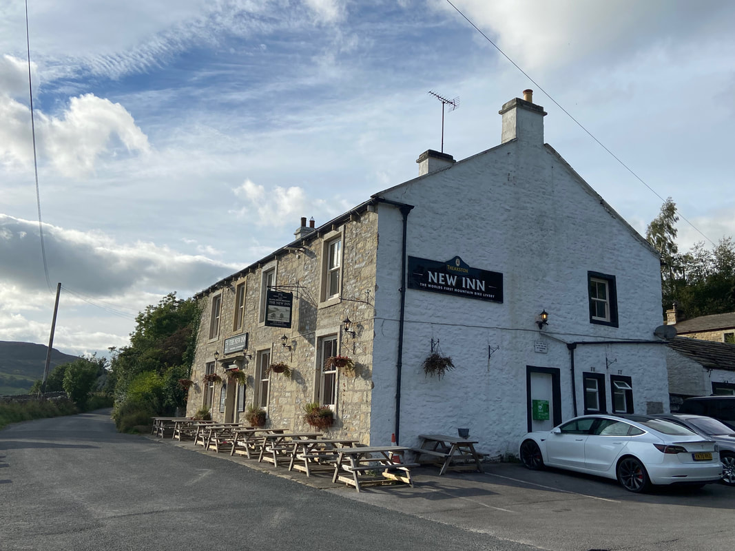
The second pub, The Craven Arms is just a few hundred yards down the road
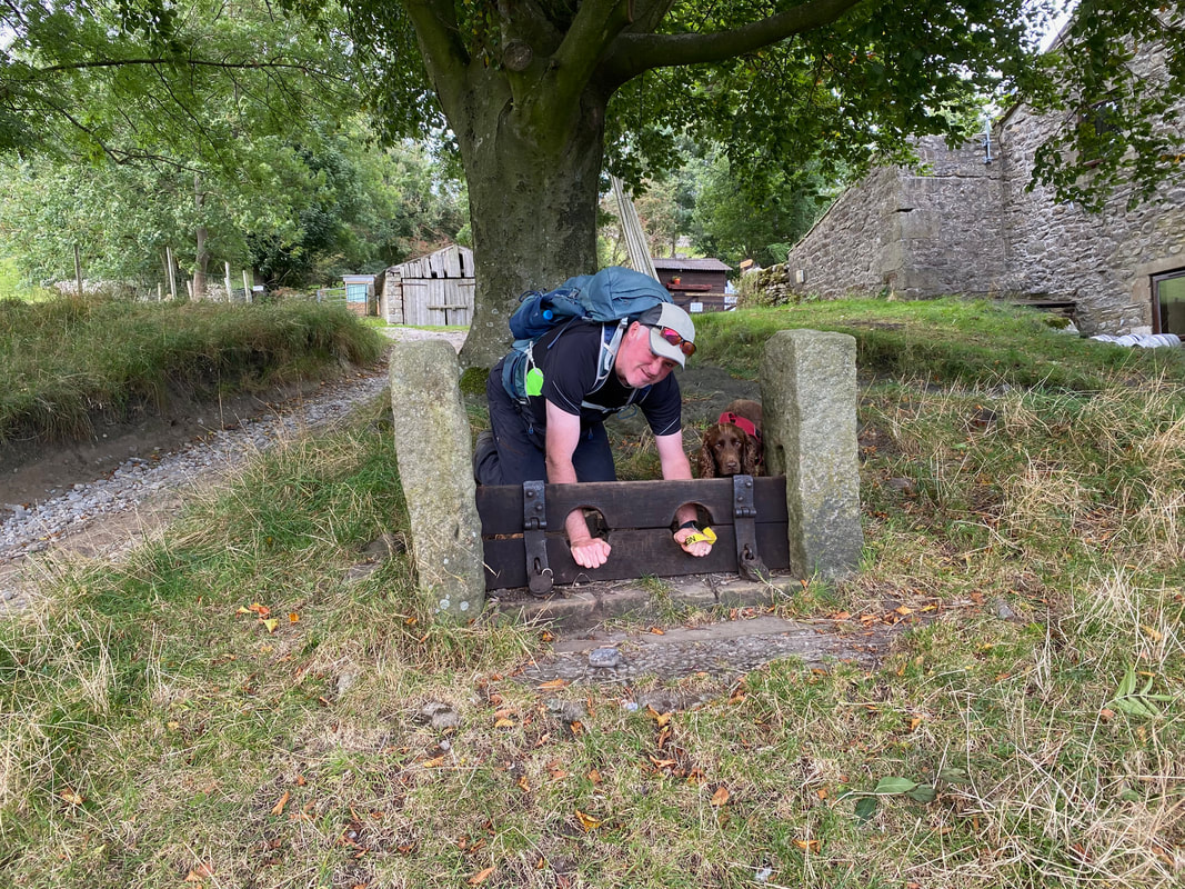
We didn't stop at the second pub therefore Angie put me in the village stocks, supervised by Jailer Fudge
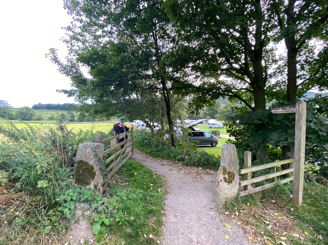
At a caravan site, the route turns off the main road just after The Craven Arms to head back down to the River Wharfe
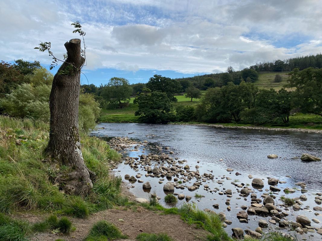
Back alongside the River Wharfe heading to Burnsall
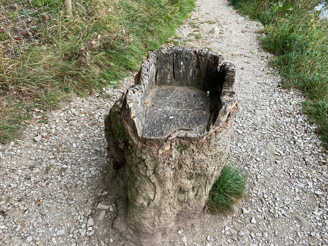
Try as I might I couldn't get any of the money out
Approaching Burnsall
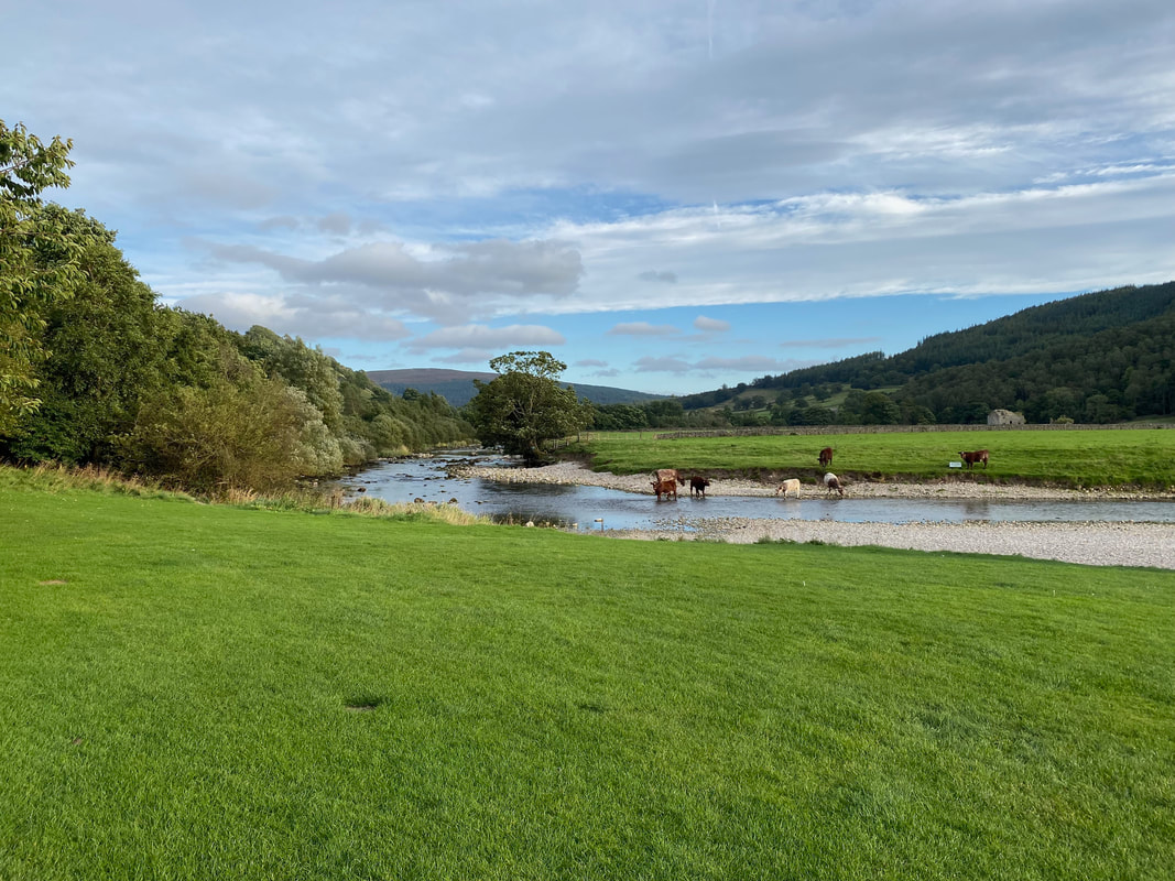
Local Bovines enjoying a quick slurp in the Wharfe
Crossing the road on Burnsall Bridge a gap stile leads down to the river and a footpath to Scuff Road
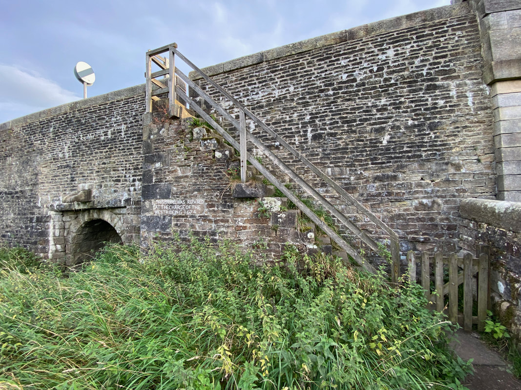
A sign on the bridge states that it was repaired in 1674 at the charge of the West Riding
Below Burnsall Bridge at sunset looking towards the pub & village
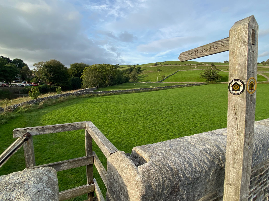
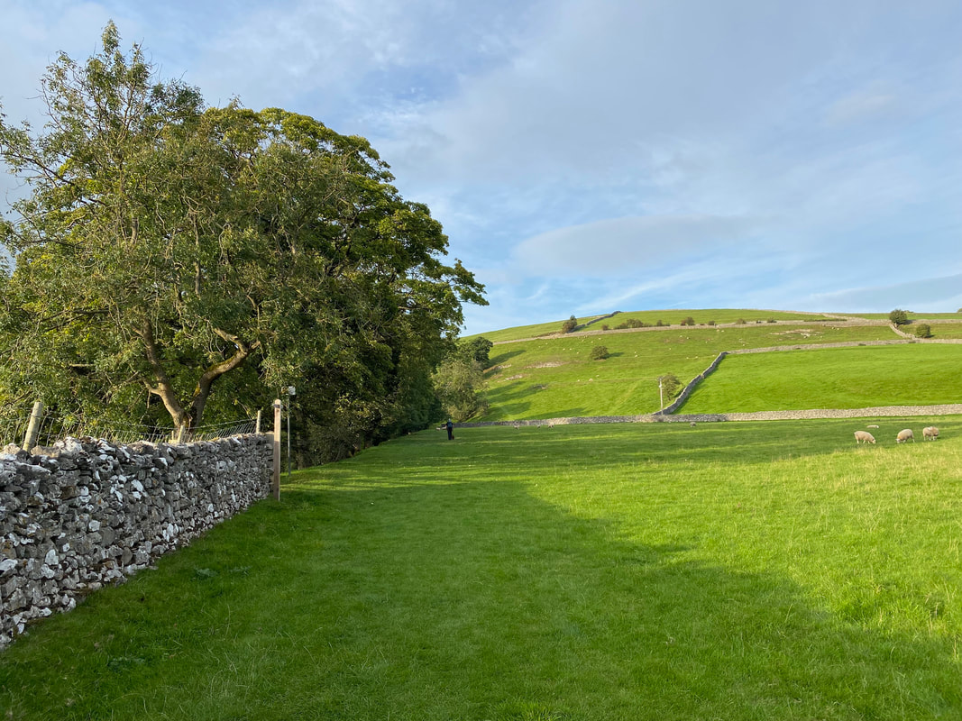
Heading up to Scuff Road - turning left at the top leads back to Hebden
