Melmerby Fell - Thursday 13 May 2021
Route
Melmerby - Rake Beck Wood - Gate Castle - Knapside Hill - Dun Edge (Melmerby Fell) - Maiden Way - Meg's Cairn - Man at Edge - Ladslack Hill - Capple Hill - Townhead - Rayson Hall - Melmerby
Parking
Plenty of free roadside parking in the village near the green. The Grid Reference is NY61340 37375 and the nearest postcode is CA10 1HE.
Mileage
10.3 miles
Terrain
Generally good mountain paths with some road walking on quiet lanes
Weather
Mild and generally overcast with some sunny spells.
Time Taken
5hrs
Total Ascent
1984ft (605m)
Map
OL31 North Pennines (Teesdale & Weardale)
Walkers
Dave, Angie & Fudge
|
GPX File
|
| ||
If the above GPX file fails to download or presents itself as an XML file once downloaded then please feel free to contact me and I will send you the GPX file via e-mail.
Route Map
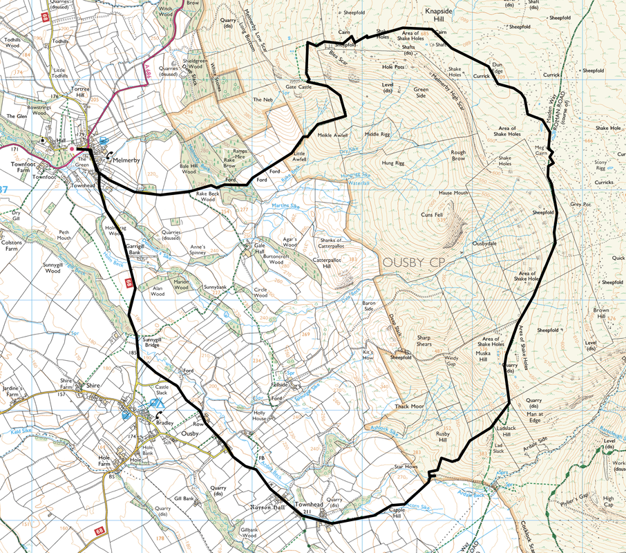
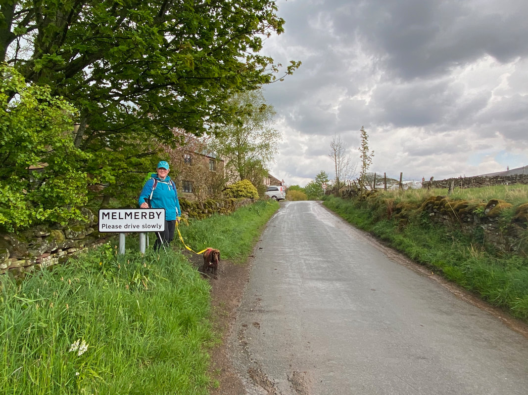
The Village Green, Melmerby - plenty of room for verge parking however please park sensibly.
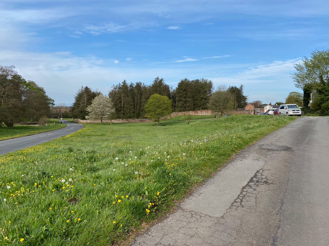
The Tower House, Melmerby. This handsome building which served as Melmerby School from 1862 has now been converted to a private house. With only 16 pupils, the school was forced to close in 1974.
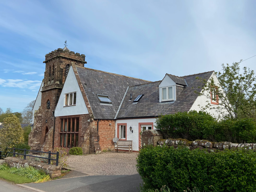
Melmerby's Pub, The Shepherd's Inn lies just off the Village Green - at 0830, it was a bit early for a swift half unfortunately.
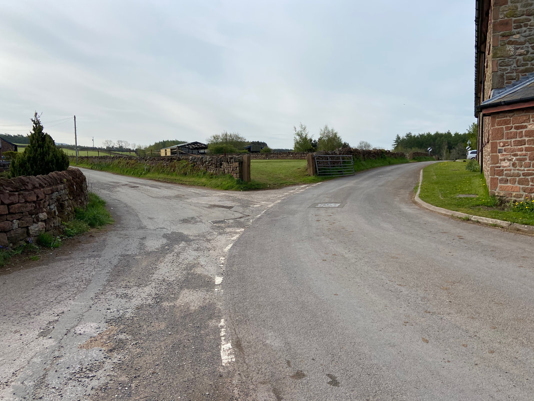
Walking south out of the village the route turns left off the Ousby road to head to Rake Beck Wood
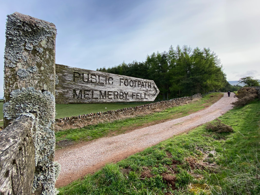
After half a mile the the lane bends to the right where a waymarked turning on the left points along a farm track to Melmerby Fell
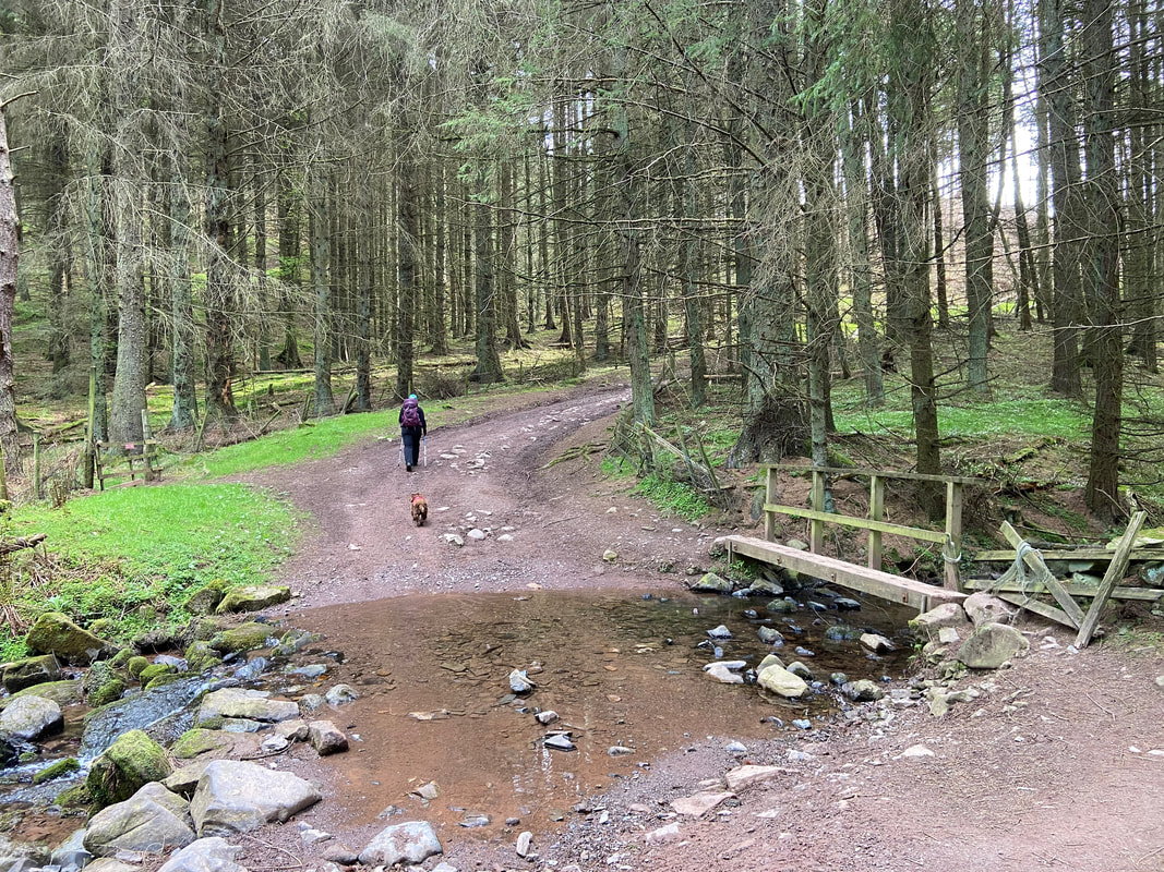
The route crosses several fords as it gently ascends. Having had a quick dip Fudge is now in 'trundle' mode.
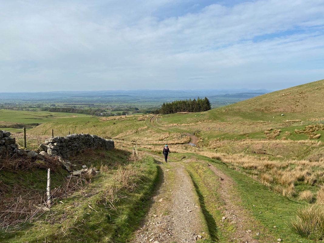
The farm track becomes rougher as height is gained
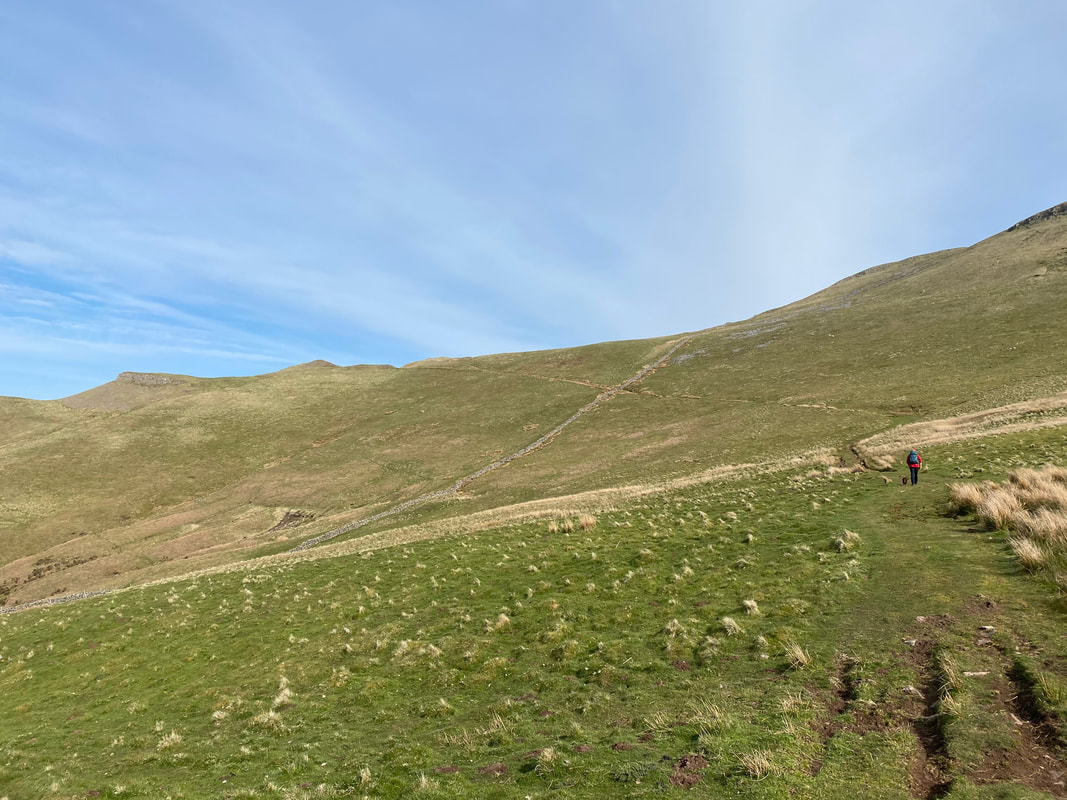
Open ground now as we head towards Gate Castle which is over to the left
Looking back down our route of ascent to Gate Castle
As we swing around to the scar of Gate Castle a view opens out to our return route
Approaching Gate Castle
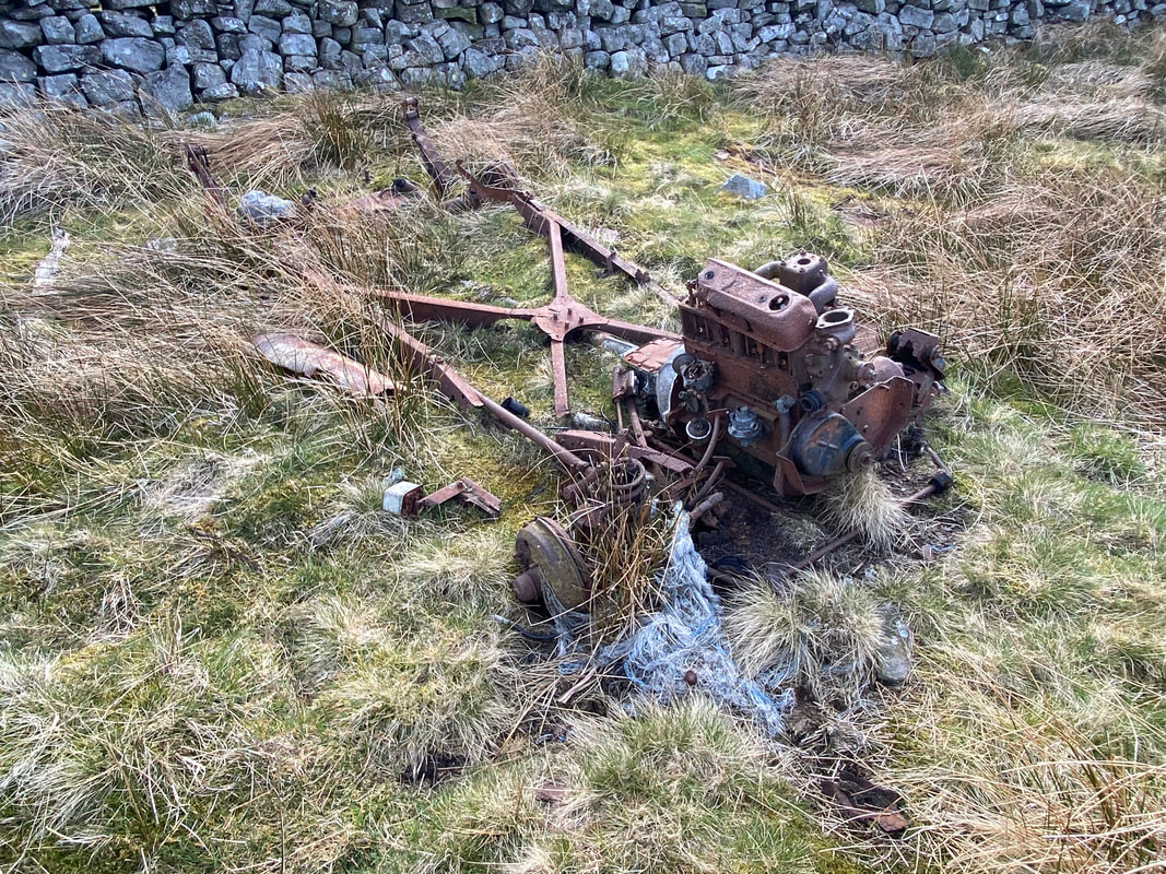
Looks like some sort of derelict ploughing machinery which has been left to rust
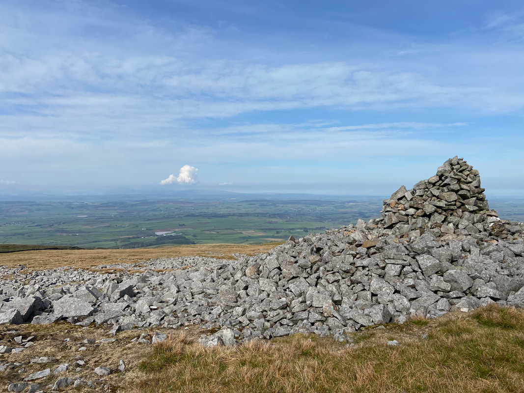
The large cairn below Knapside Hill
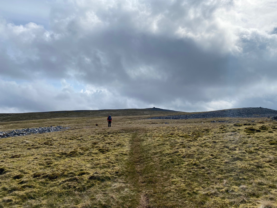
From the cairn below Knapside Hill the route continues to rise to reach a plateau
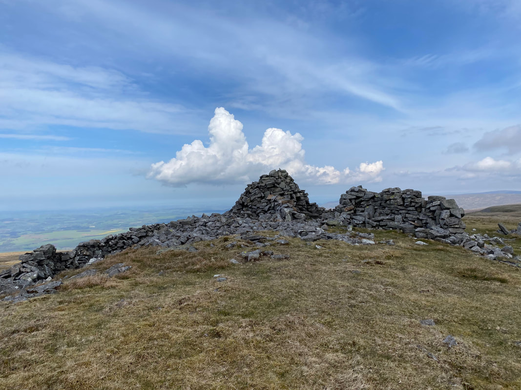
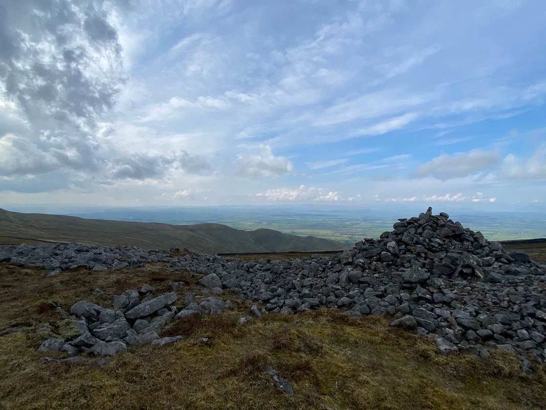
Another large cairn is passed as we make our way to the summit of Melmerby Fell
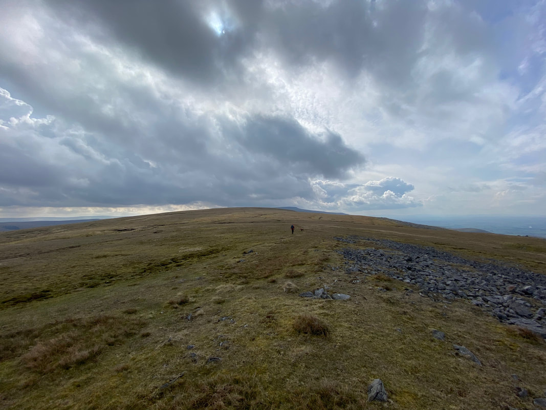
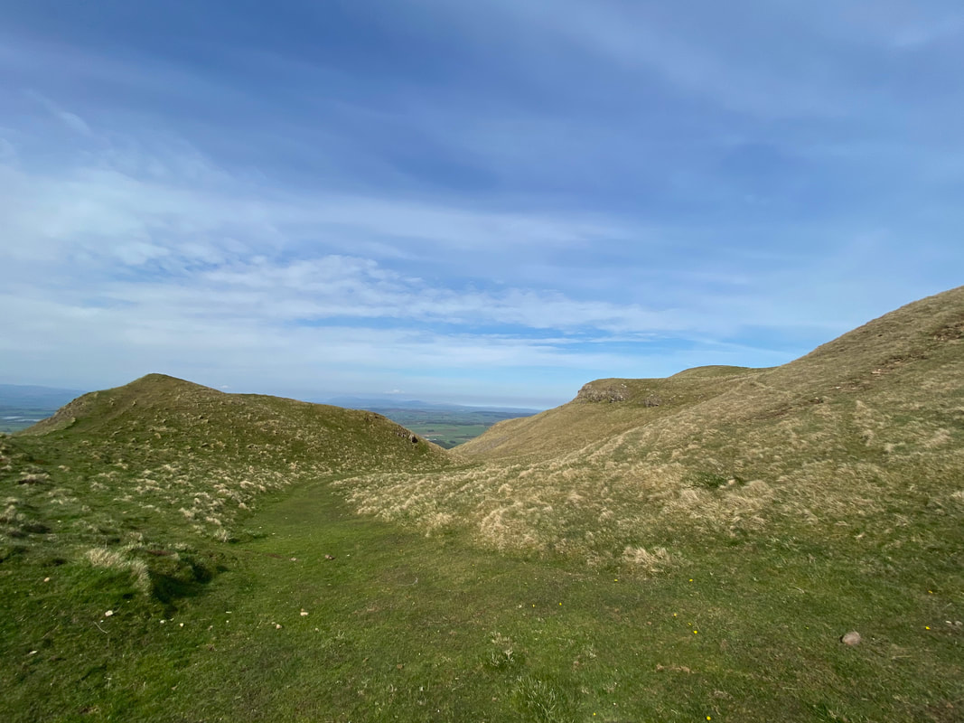
Heading along the summit plateau above Melmerby High Scar
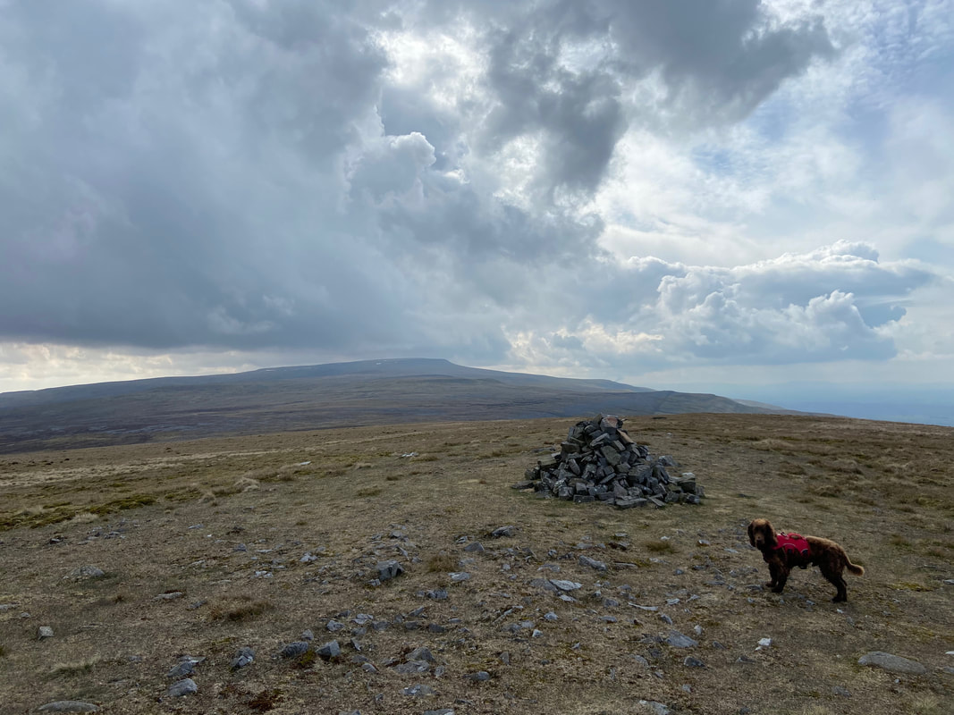
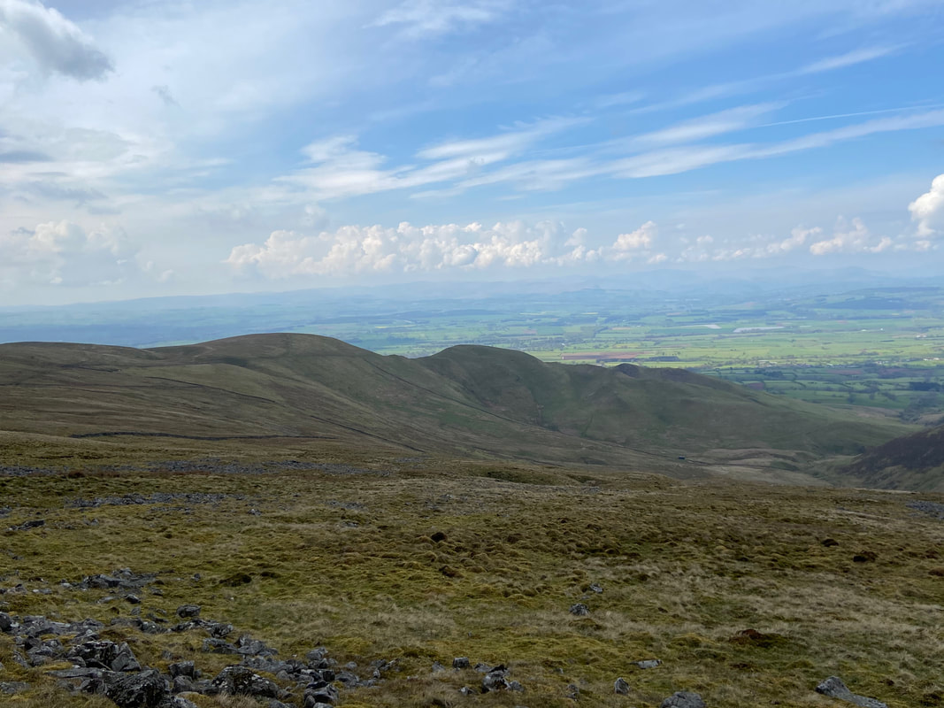
The summit of Melmerby Fell looking to the huge bulk of Cross Fell
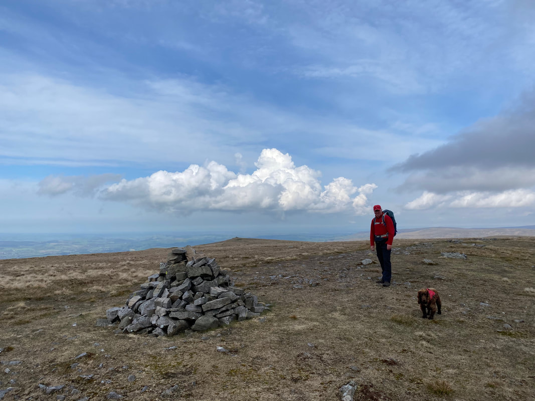
Fudge and I on the summit of Melmerby Fell. The fell is a northerly extension of the Cross Fell massif.
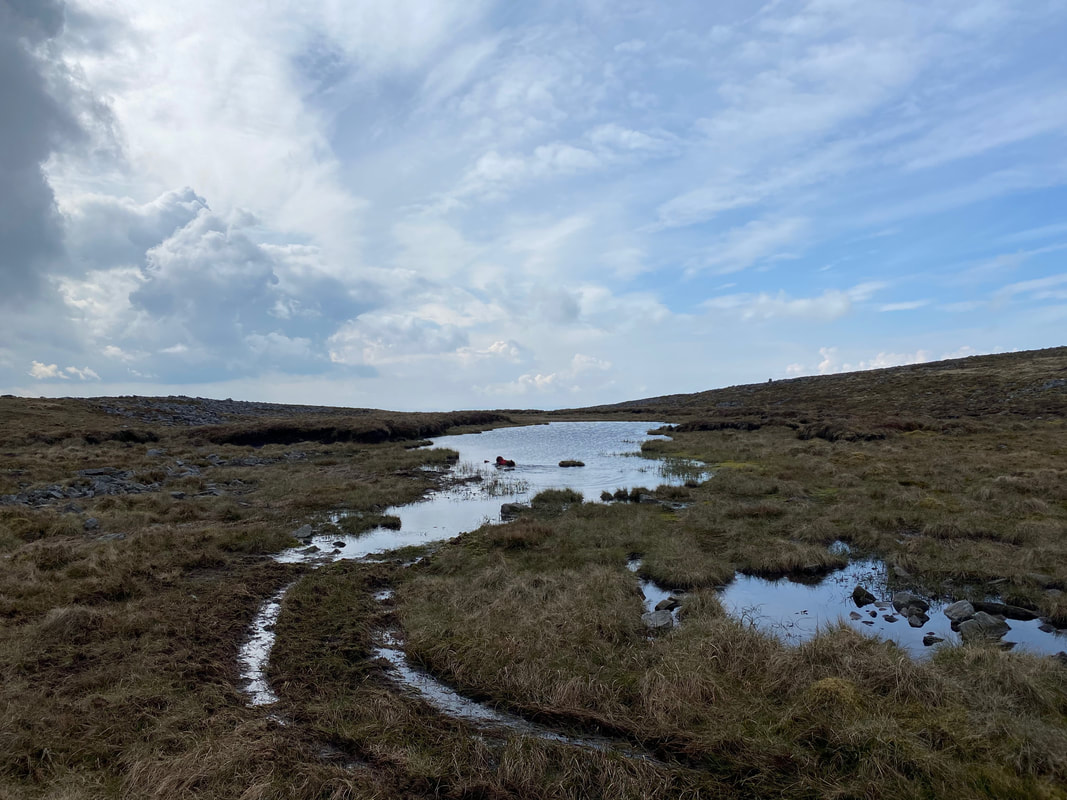
Just prior to joining the Maiden Way Roman Road is this small tarn which Fudge was straight into. The Maiden Way is now officially a Public Bridleway and linked the Roman Fort at Kirkby Thore with Hadrian's Wall at Greenhead by way of the South Tyne.
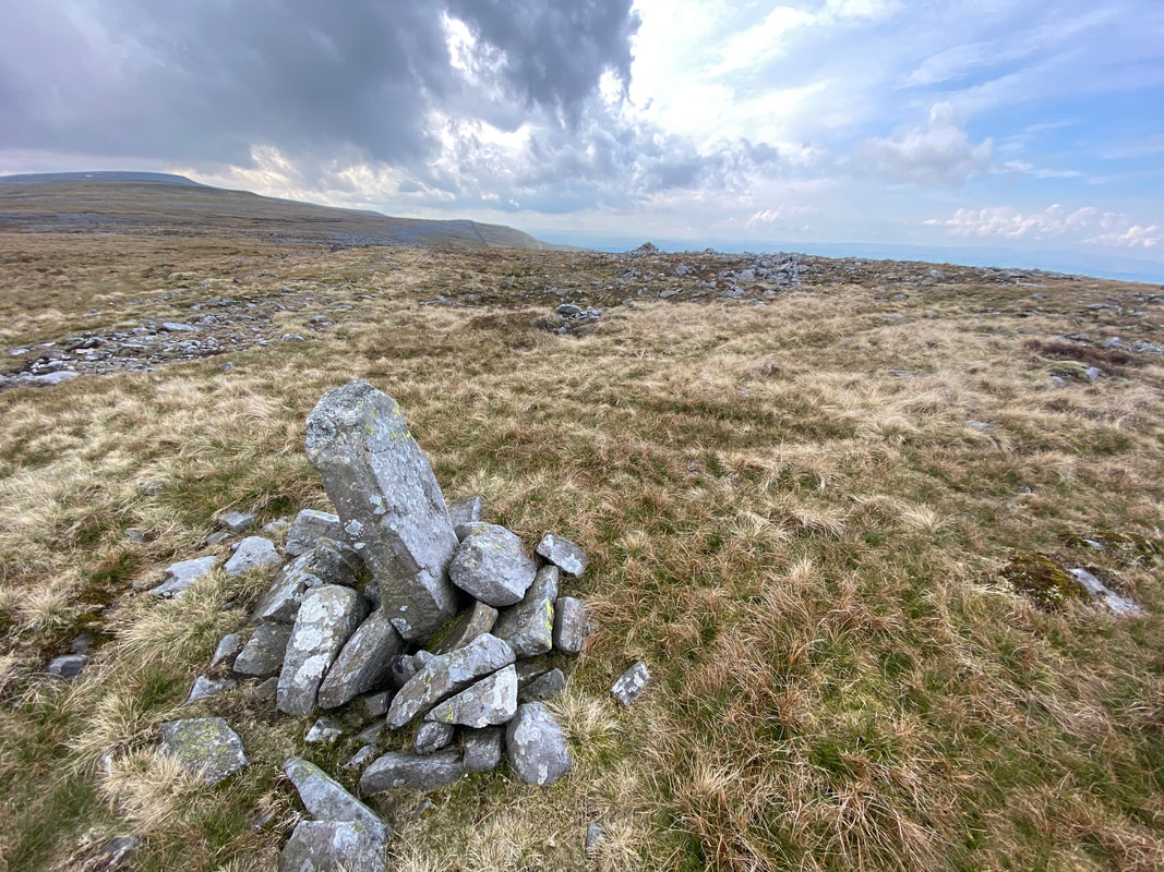
A stone boundary marker with Meg's Cairn ahead
The jumble of rocks of Meg's Cairn. I am unsure as to why it is called Meg's Cairn but there is a Stone Circle called Long Meg and her Daughters and another called Little Meg just over 5 miles due East near Little Salkeld - there may be a connection, who knows? The link to a walk we did to Long Meg is here.
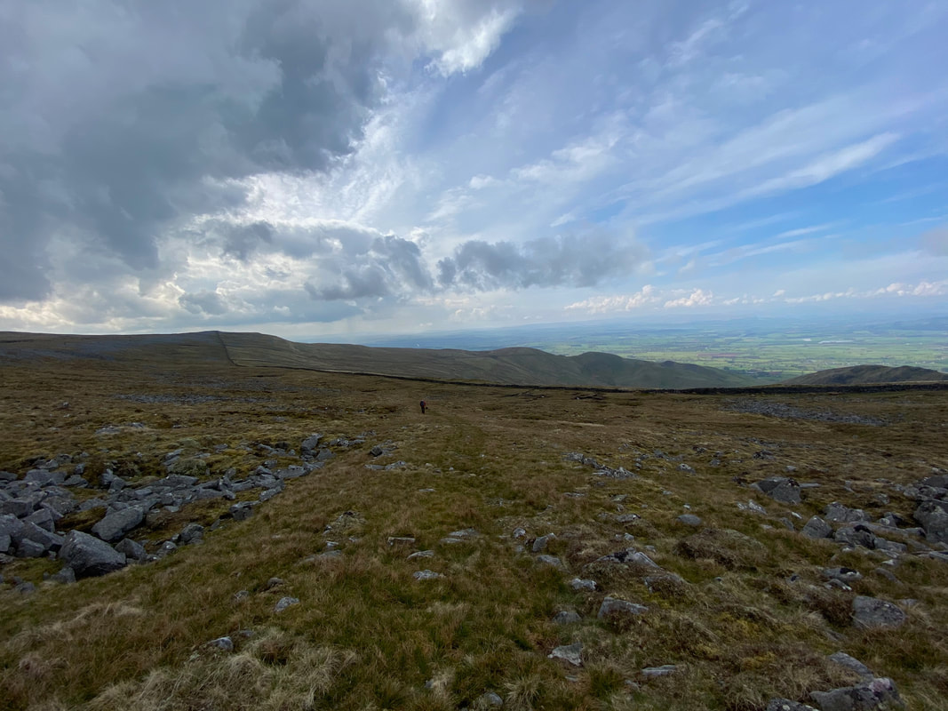
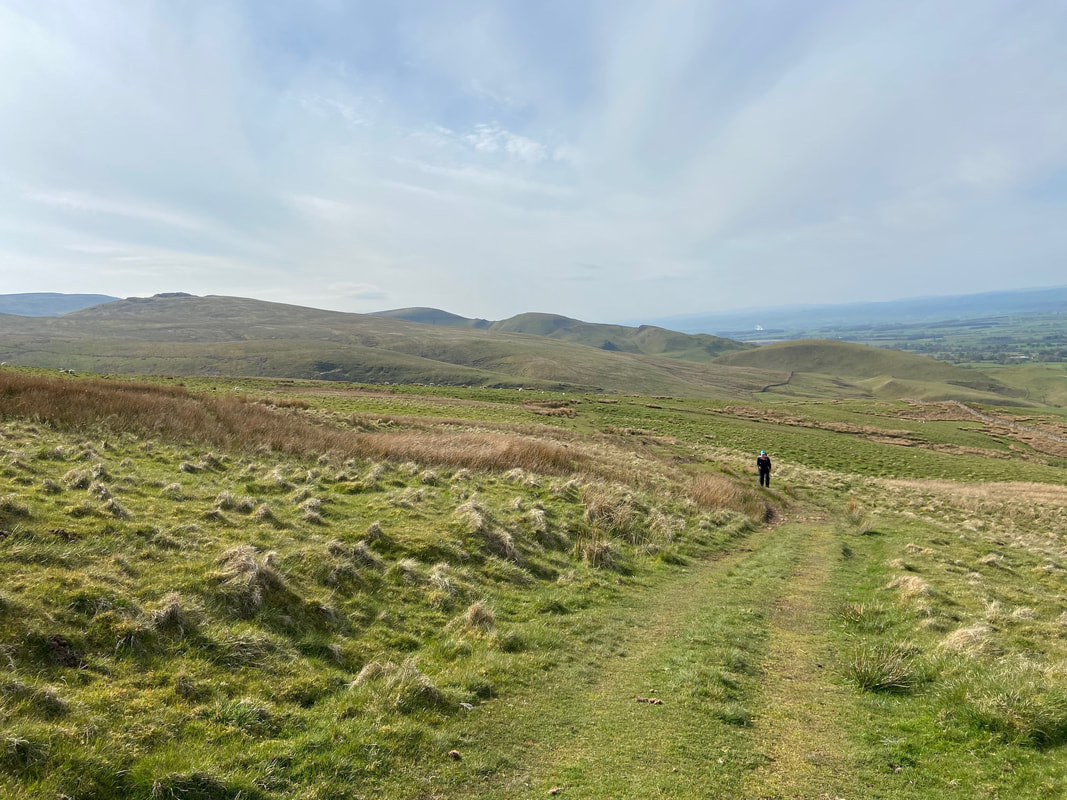
Continuing along the Maiden Way as we leave Meg's Cairn for Ladslack Hill
Although intermittent in part, the path down the Maiden Way is never in doubt
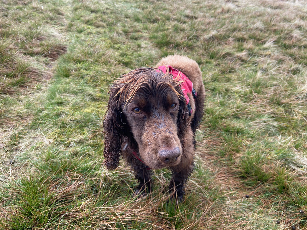
Fudge sporting a centre part coupled with his inexpensive highlights
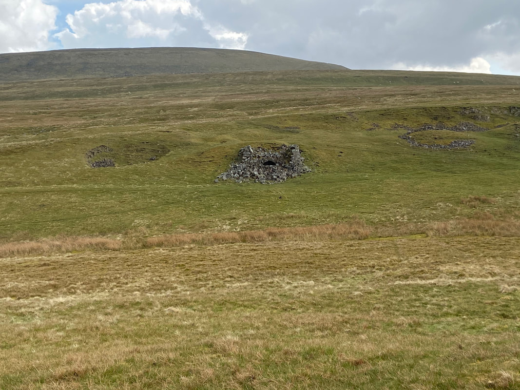
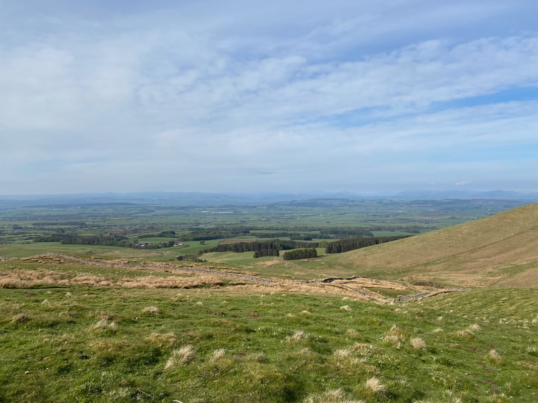
Lime Kilns dot the landscape and are limited evidence of this once busy lead mining area
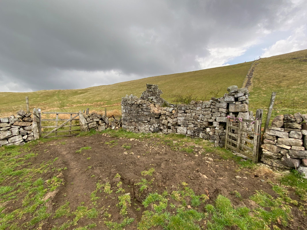
The ruined former mine building of Man at Edge
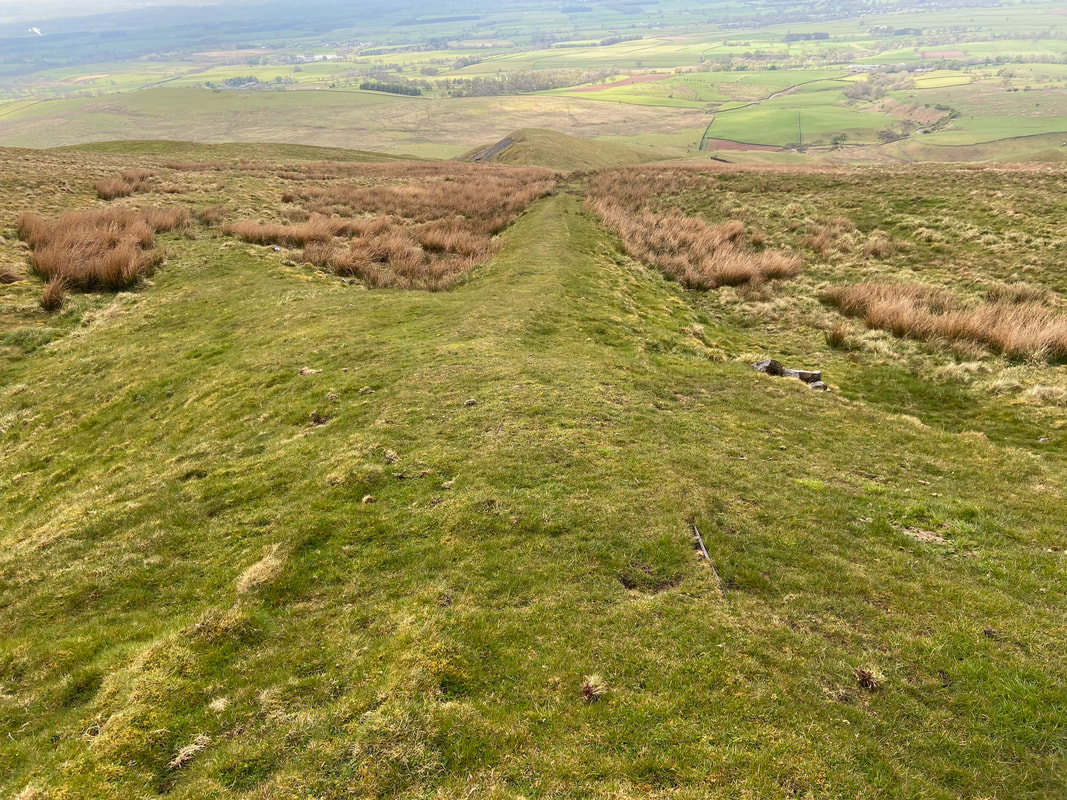
From Man at Edge an old tramway is followed downhill. The rails are still clearly visible on the descent, remaining unhidden by the close cropped turf - the narrow gauge rail terminates at the lime kiln at Ardale Beck.
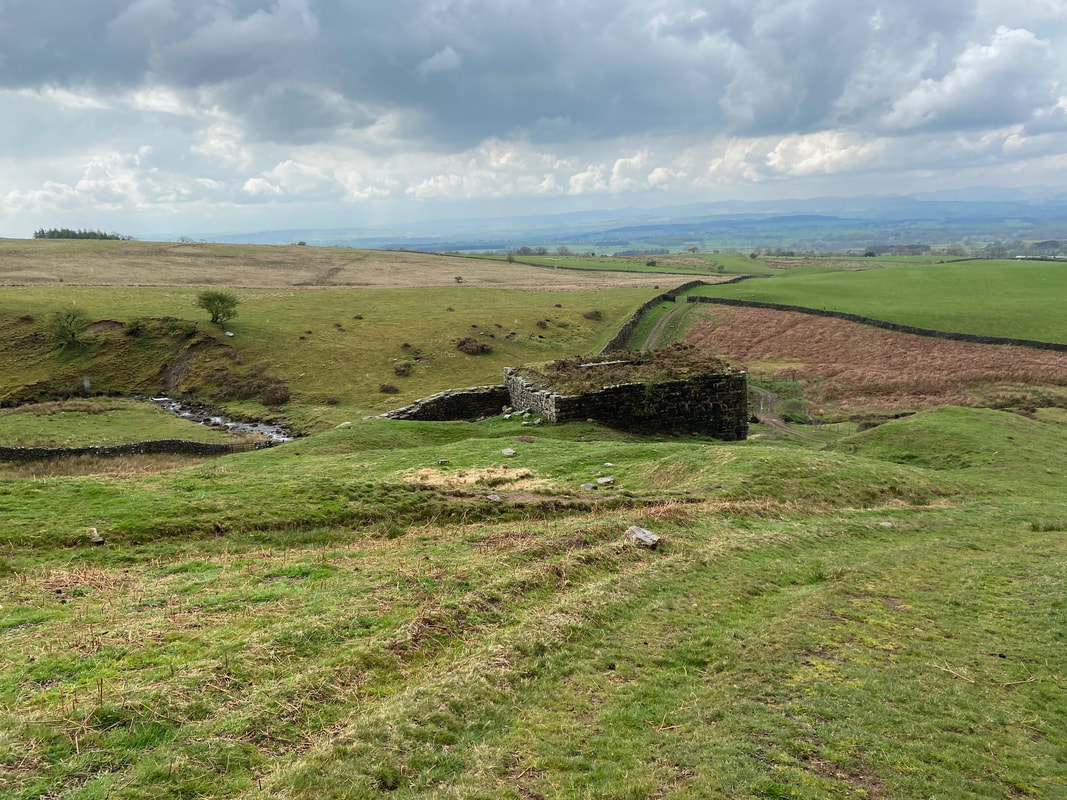
Approaching Ardale Beck and the lime kiln
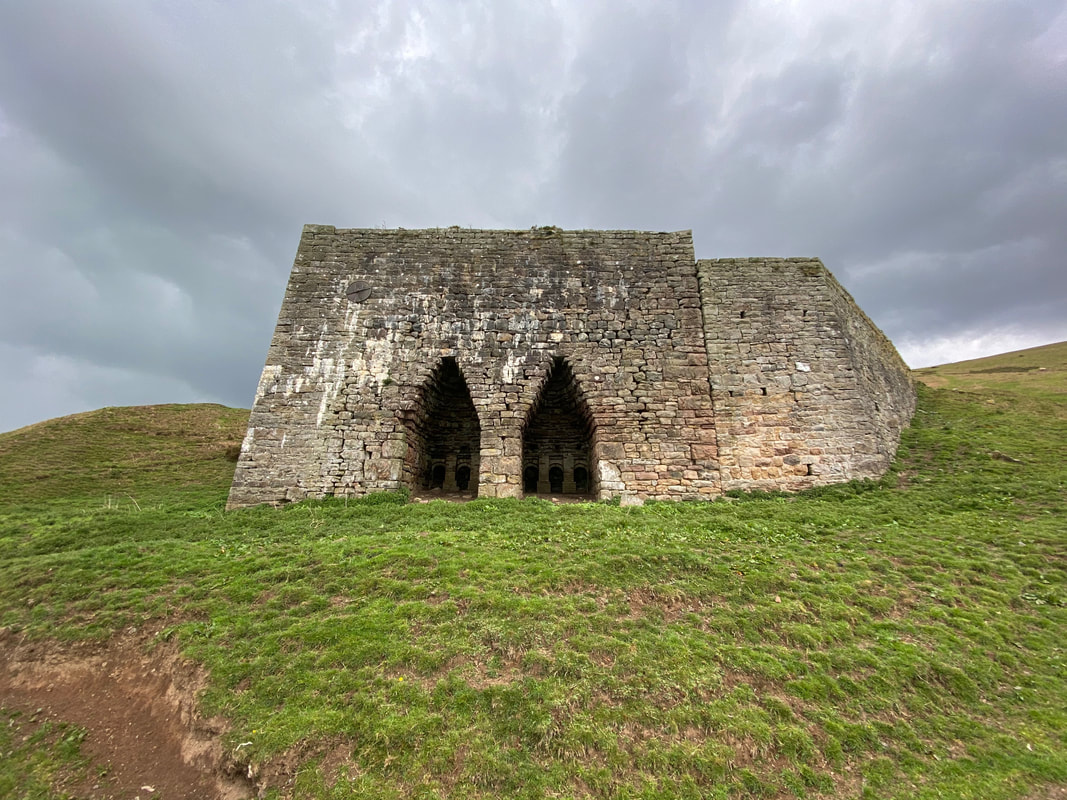
The ornate double Townhead Lime Kiln at Ardale Beck which was rebuilt in 1930 and never used once this was completed. It now appears to be refuge for sheep as there were a few inside having a snooze.
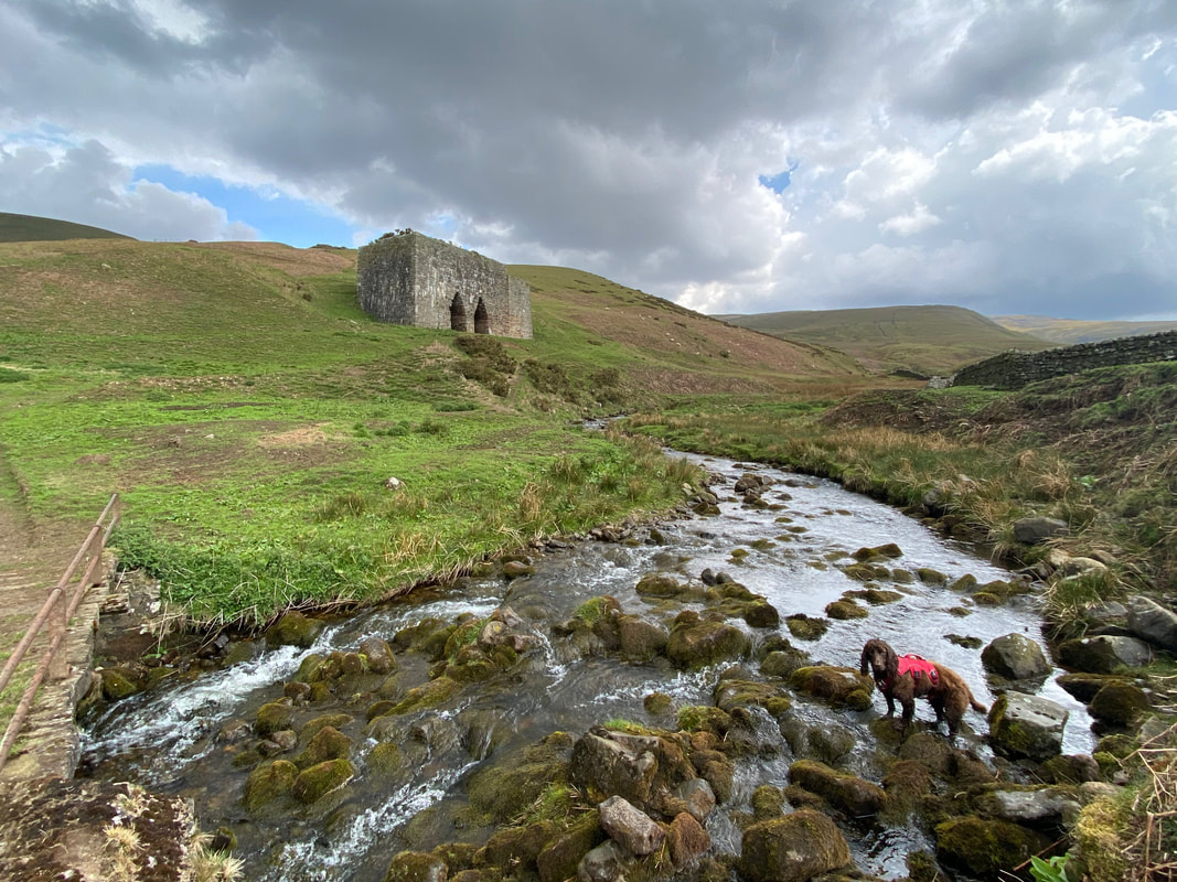
Fudge in Ardale Beck - the route crosses the beck via the bridge on the left
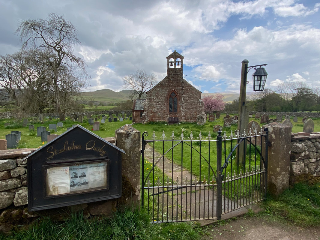
St Luke's Church Ousby - the church dates back in part to the 13th Century
A section of quiet road walking brought us back to Melmerby
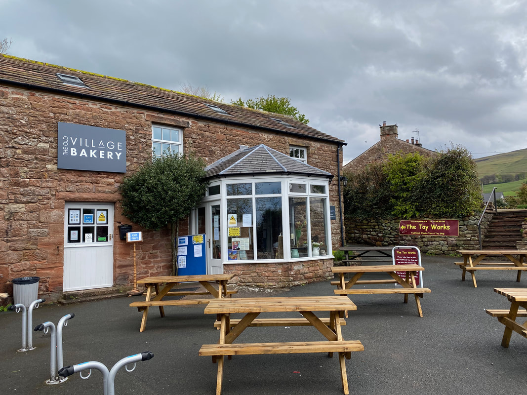
Did I mention Cake? Well the excellent Village Bakery in Melmerby has loads of it - and they do an excellent breakfast too.