Sandwood Bay - Friday 29 April 2022
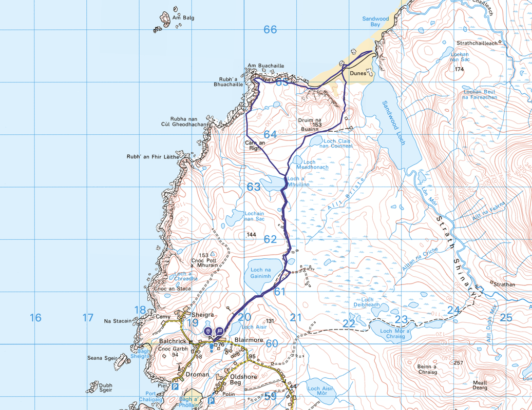
Route
Blairmore - Loch Aisir - Loch na Gainimh - Loch a' Mhuilinn - Sandwood Bay - Am Buachaille - Carn an Righ - Loch a' Mhuilinn - Loch na Gainimh - Loch Aisir - Blairmore
Parking
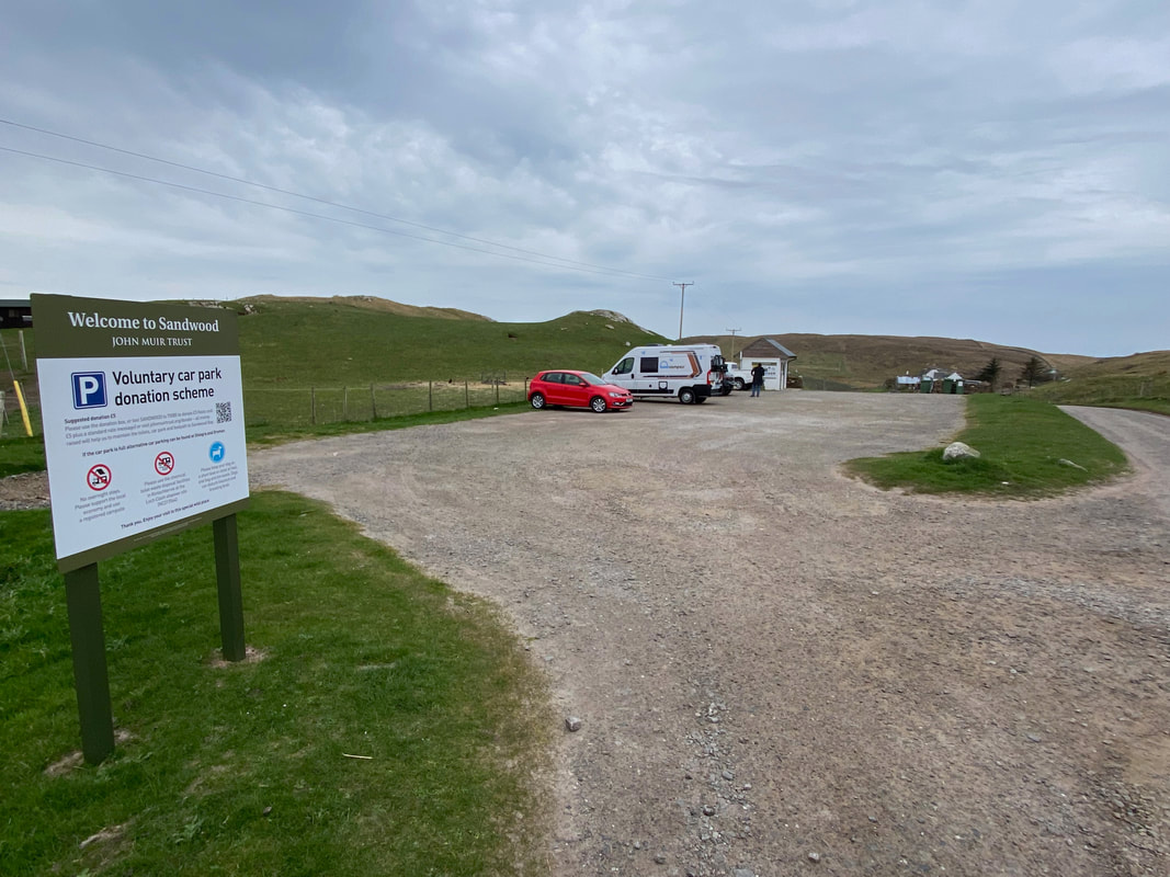
The John Muir Trust Car Park at Blairmore (Charge). The Grid Reference is NC 194 600 and the nearest postcode is IV27 4RU.
Mileage
10.8 miles
Terrain
Access tracks, sandy beaches and coastal paths. The section between Am Buachaille to Loch a' Mhuilinn via Carn an Righ is mostly pathless however the going is good.
Weather
Mainly overcast with some sunny spells.
Time Taken
5hrs 40mins
Total Ascent
875ft (267m)
Map
OS Explorer 446 Durness & Cape Wrath
Walkers
Dave, Angie & Fudge
|
GPX File
|
| ||
If the above GPX file fails to download or presents itself as an XML file once downloaded then please feel free to contact me and I will send you the GPX file via e-mail.
Route Map
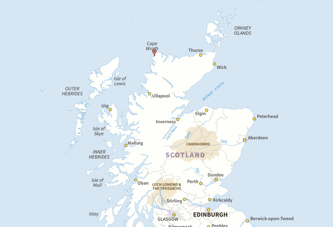
An idea as to how far up country this walk is - Sandwood Bay is marked with a pin
The start of the walk at The John Muir Trust Car Park in Blairmore. We have completed this walk previously in PF 2005 (Pre Fudge) when we were on holiday near Ullapool.
The walk today was entirely on land that is owned and managed by the trust. The charity protects wild places and has owned this land since 1993 and aims to preserve the wild beauty and bio-diversity at the same time as maintaining a viable crofting community here. You can find out more and support their work by joining at http://www.johnmuirtrust.org/.
The walk today was entirely on land that is owned and managed by the trust. The charity protects wild places and has owned this land since 1993 and aims to preserve the wild beauty and bio-diversity at the same time as maintaining a viable crofting community here. You can find out more and support their work by joining at http://www.johnmuirtrust.org/.
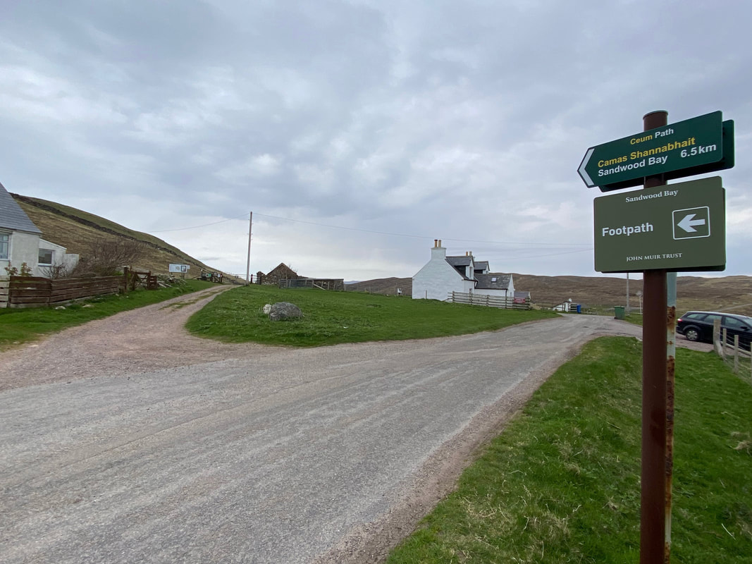
From the Car Park the walk heads off to the north east up a signposted track. The road to the right is the only way in to Blairmore and is accessed from Kinlochbervie some three and a half miles to the south east.
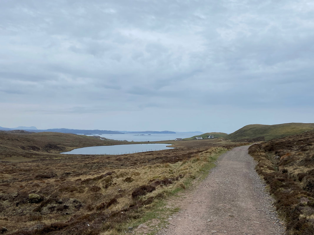
Looking back to Blairmore, Loch Aisir & Eilean Roin Mor from the track
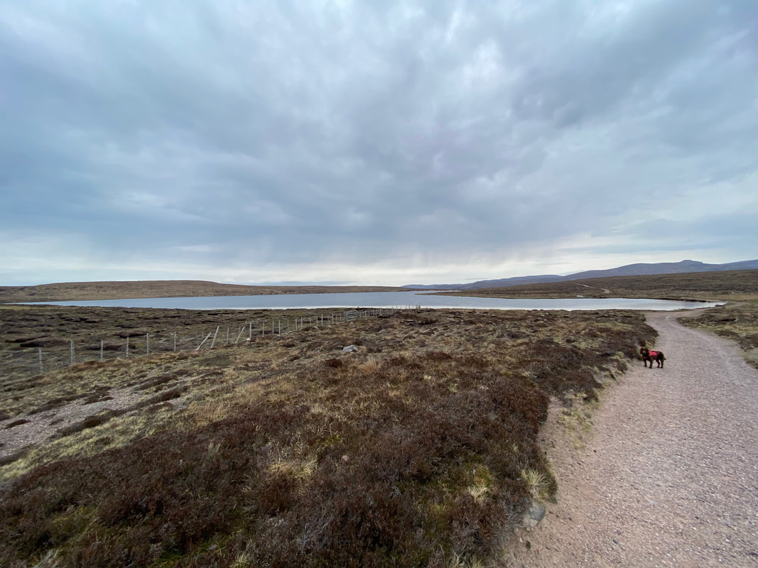
Continuing along the track the route reached Loch na Gainimh...........
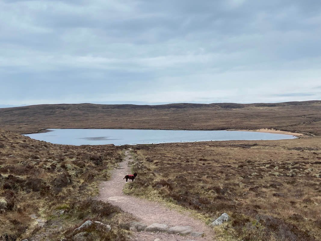
....... followed by Loch a' Mhuilinn a mile and a half later
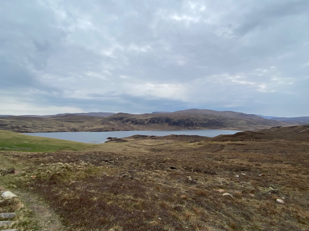
Nearing Sandwood Bay the loch of the same name comes into view with Carn Call above it
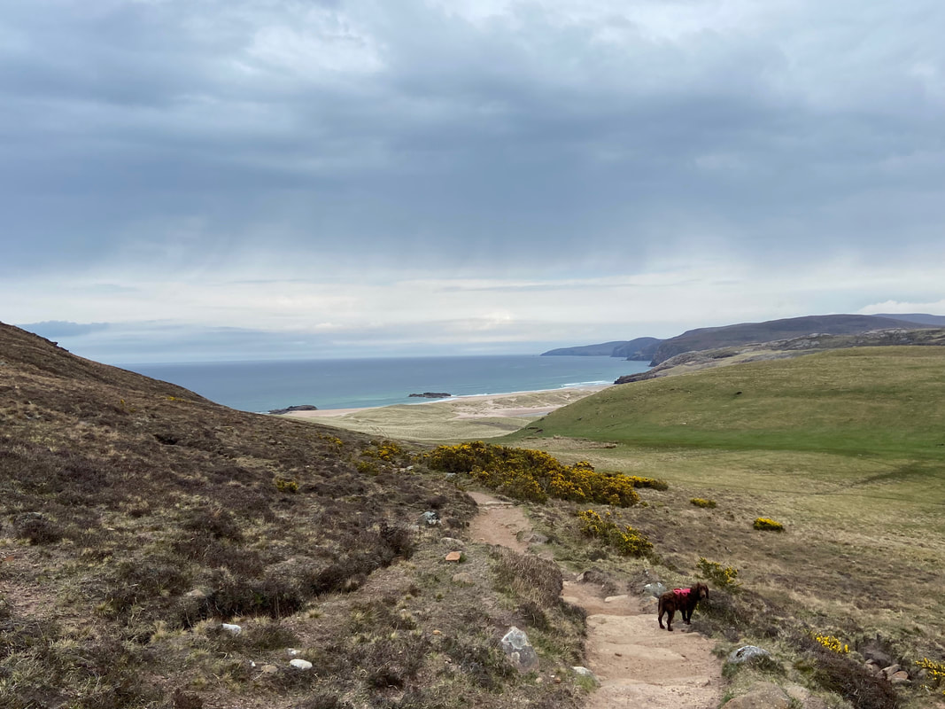
Sandwood Bay now in view - just a shame we were seeing it on an overcast day but never mind
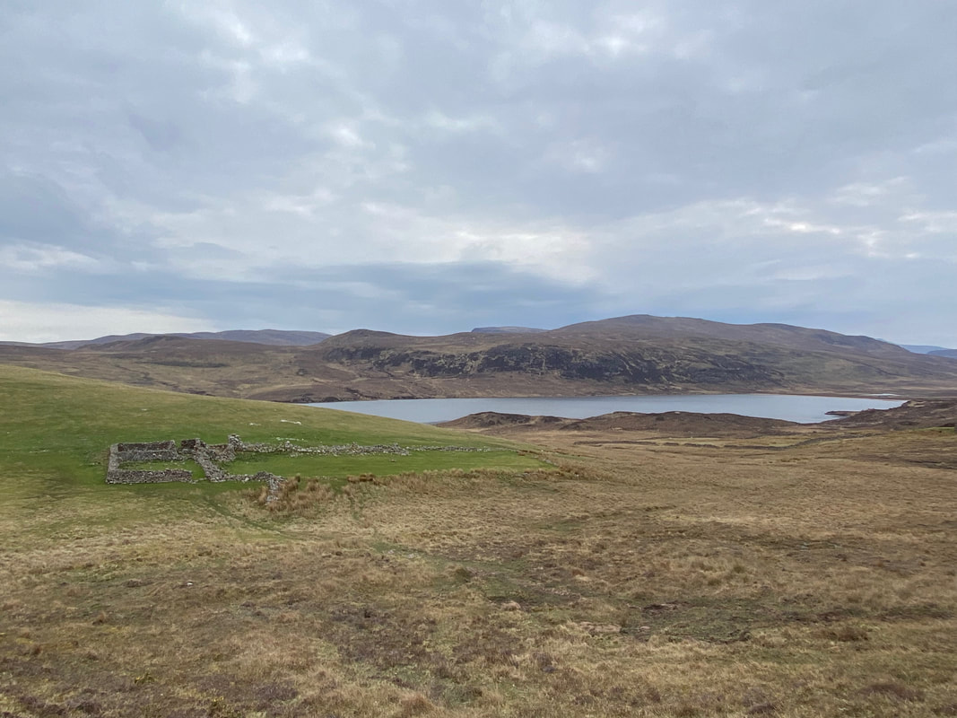
A little further on the route passes above an old sheepfold before reaching the bay
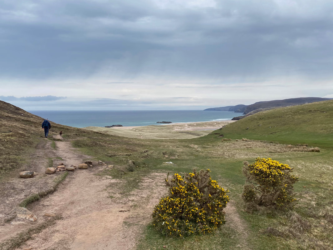
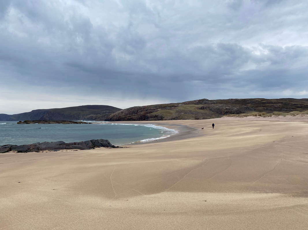
Reaching the bay, there are a myriad of paths available to the walker. We stayed to the left although to be fair all the paths end up at the same place anyway - roughly in the centre of shot.
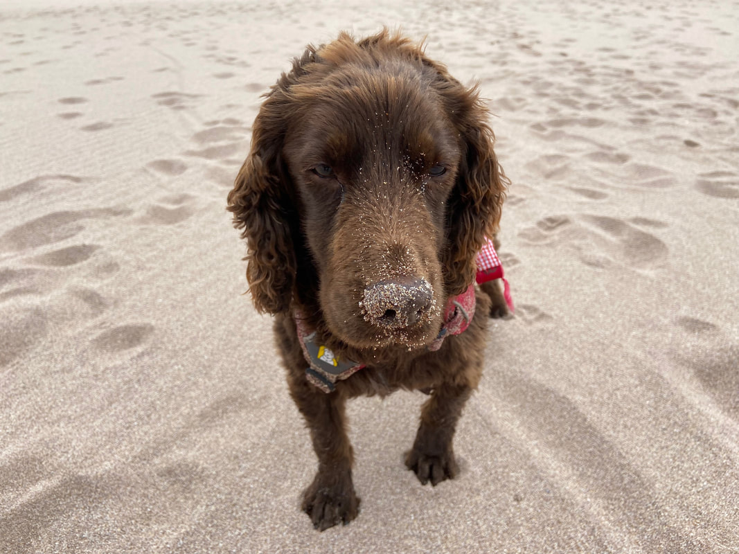
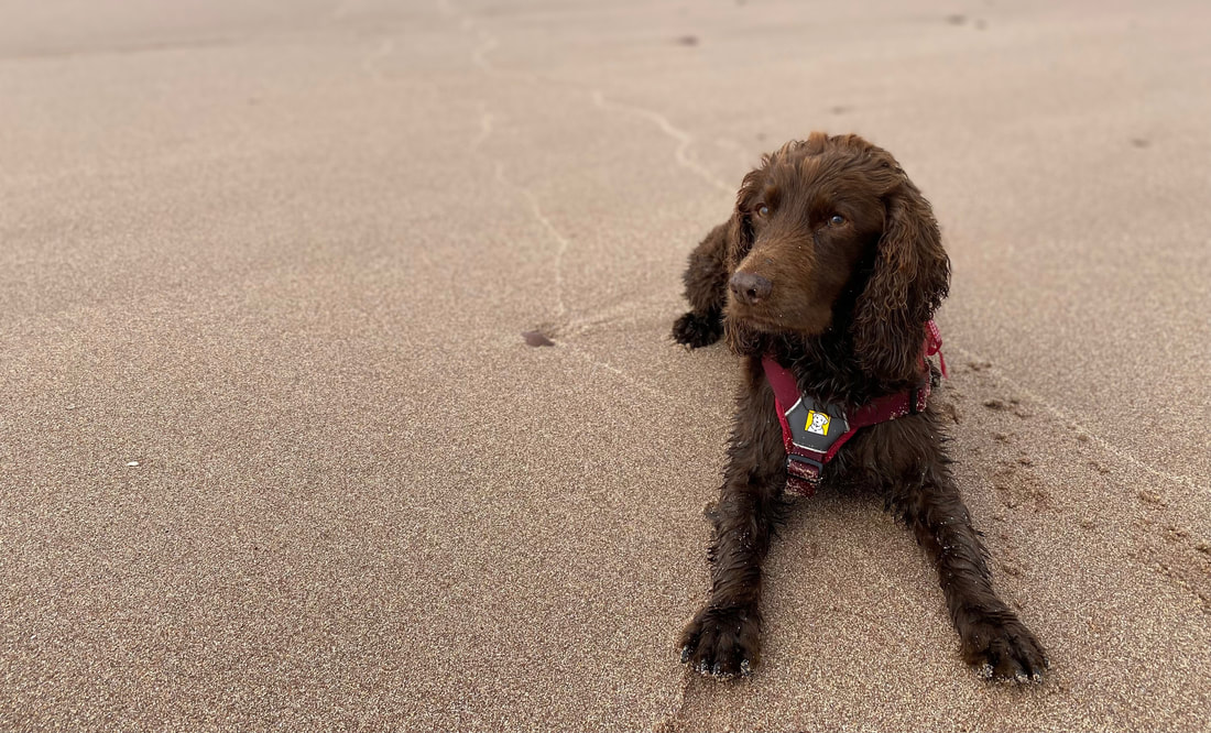
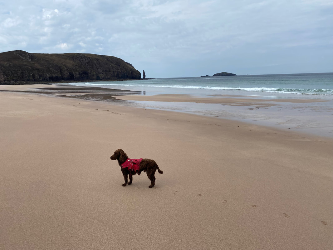
Somebody has already been arsing about and sniffing in the sand
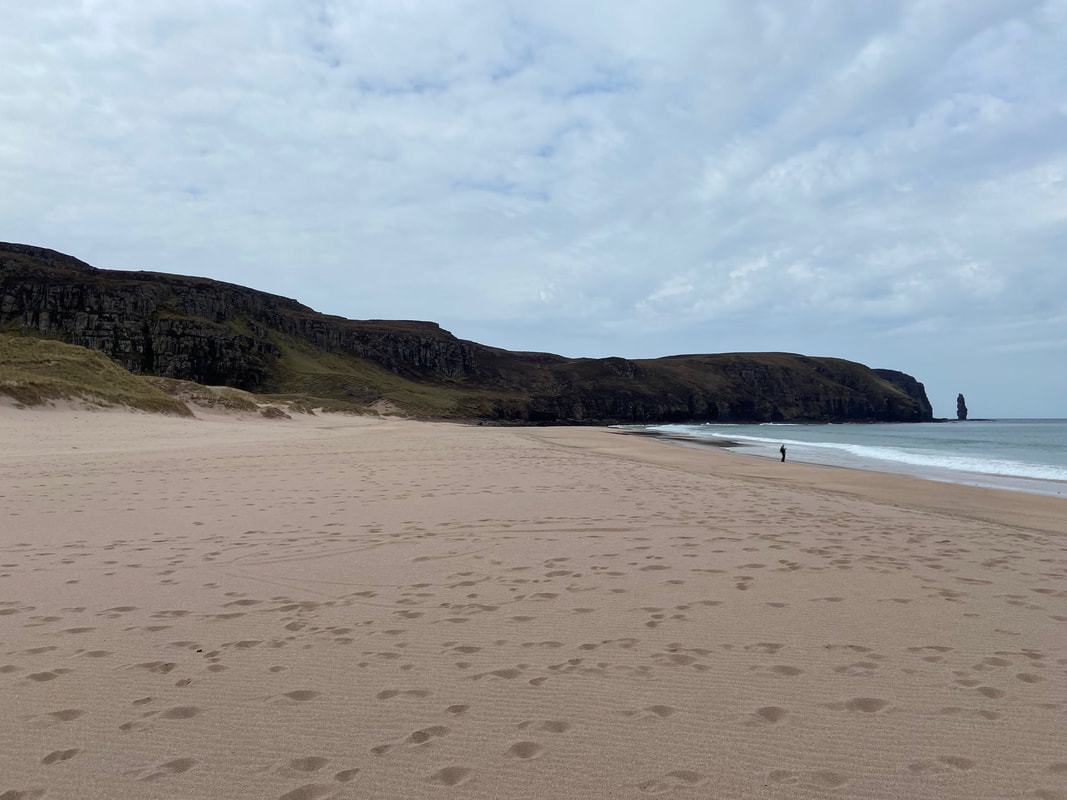
Looking south west along the bay to Am Buachaille which is to the right - more about the sea stack a bit later
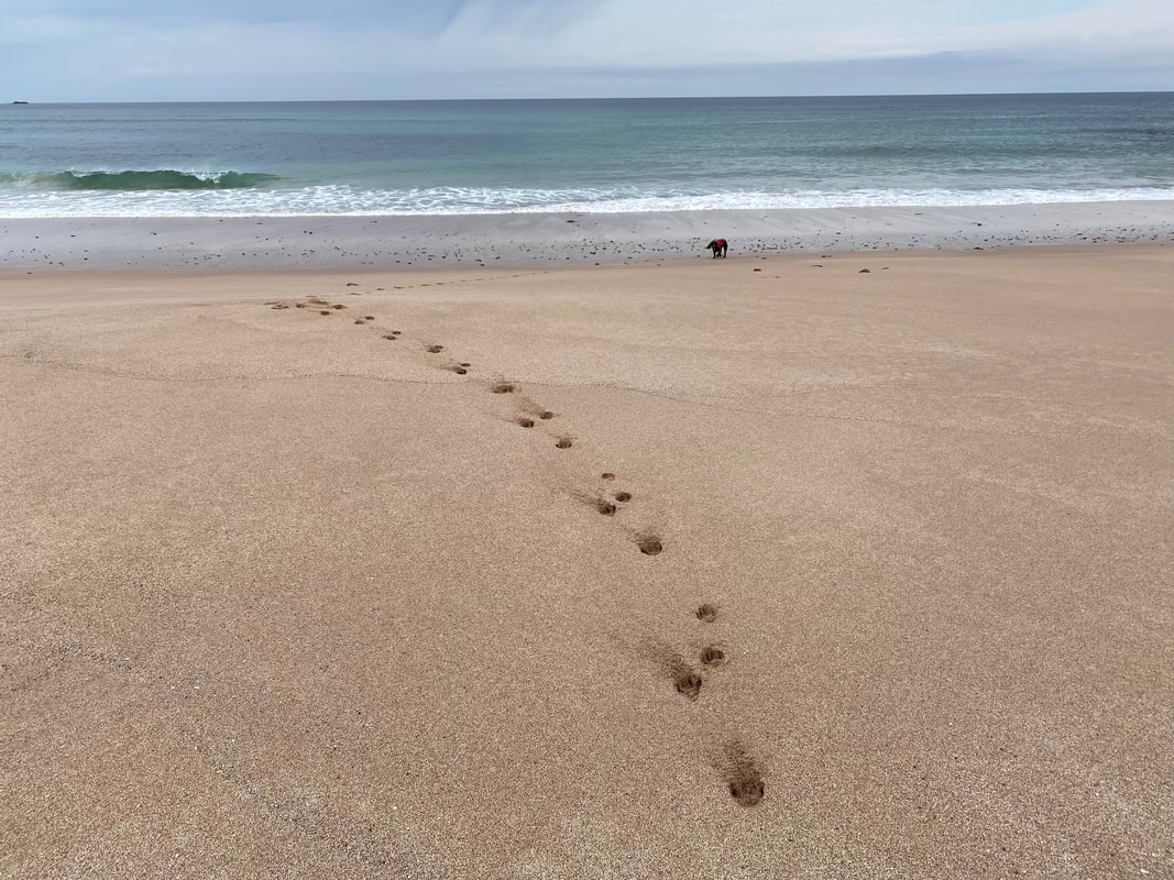
Paw marks in the sand as Fudge waits for the command to enter the top of Davy Jones's Locker
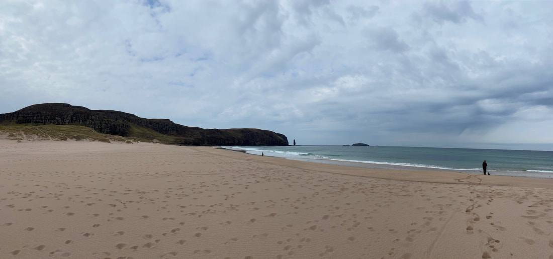
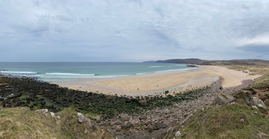
A panorama of Sandwood Bay - this really is a beautiful place and certainly worth the monster drive up here. The Gaelic name of the beach is Tràigh Shanabhait and is shown on the OS Map as such.
Sandwood Bay (click Play to view)
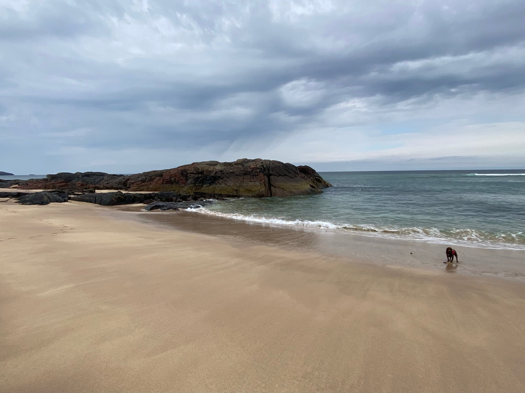
There are a couple of small rocky headlands jutting out from the sand
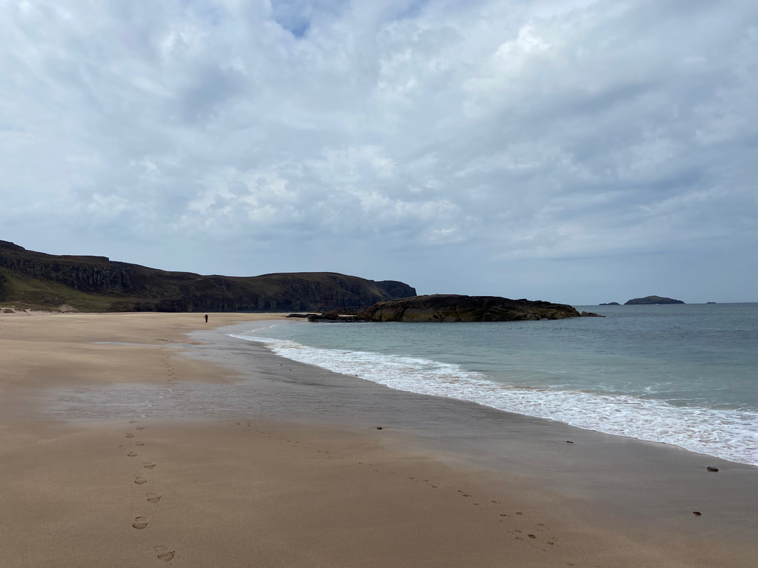
Fudge and I heading to the eastern end of Sandwood Bay - this really is a magical place
The walk to the eastern end of Sandwood Bay (click Play to view)
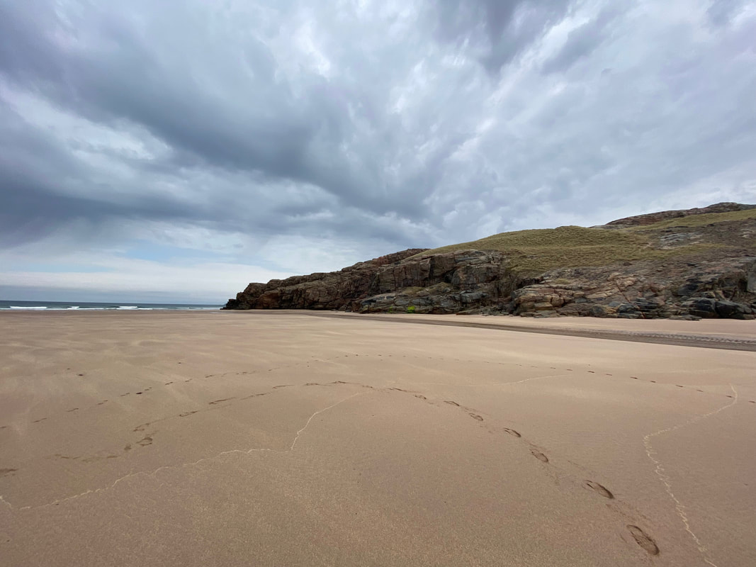
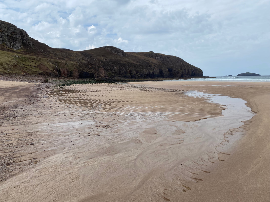
Fudge's and my foot & paw prints in the sand as Angie heads towards us
The eastern end of Sandwood Bay
We would now head to the western end of Sandwood Bay to begin our return to Blairmore - Fudge meanwhile wants to continue with his favourite pastime of arsing about.
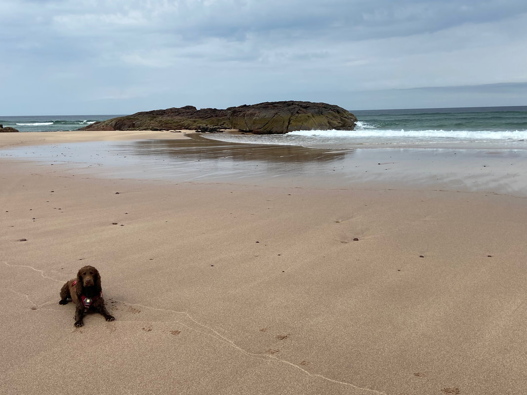
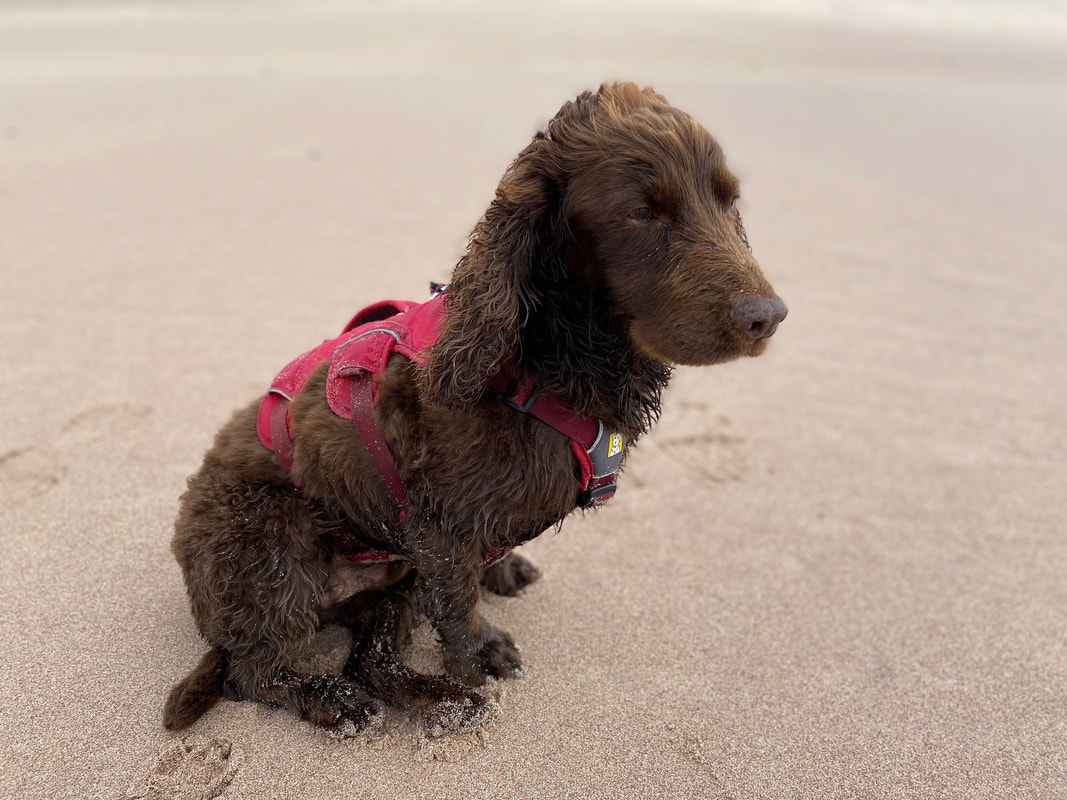
One of our favourite pictures of Fudge - I can't wait to hoover the car out later said no dog owner ever
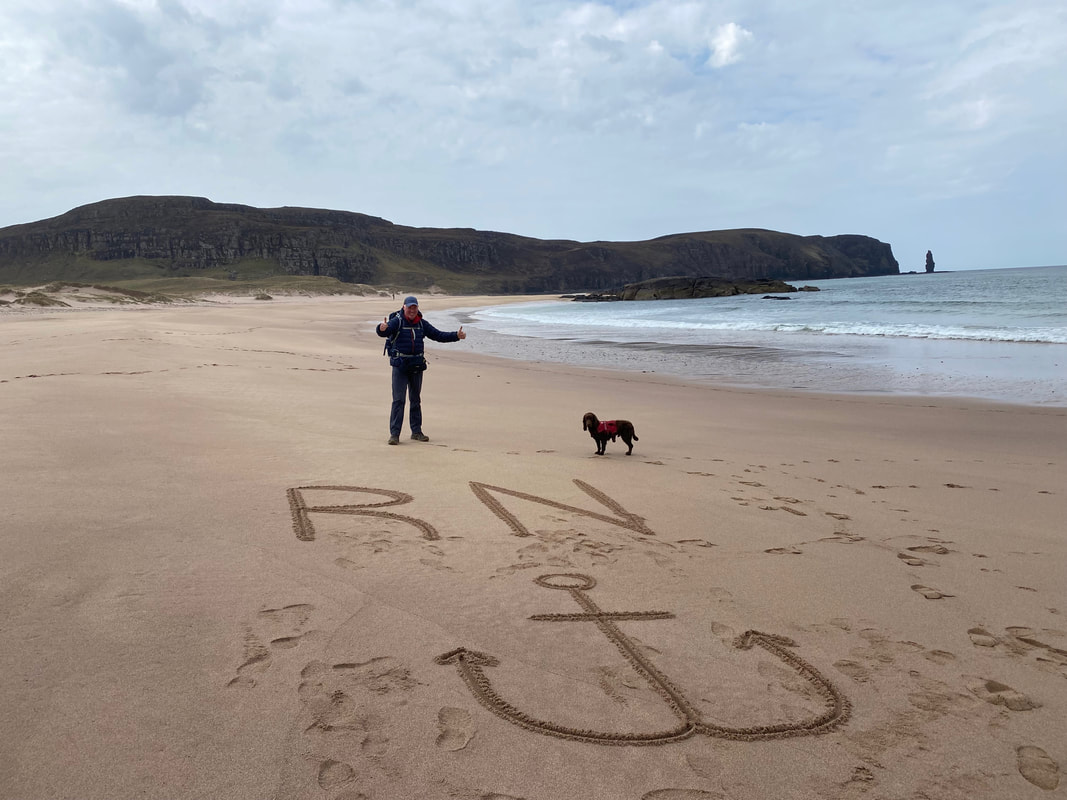
It was time for some sand etching as we made our way over to the western end - firstly my effort.............................
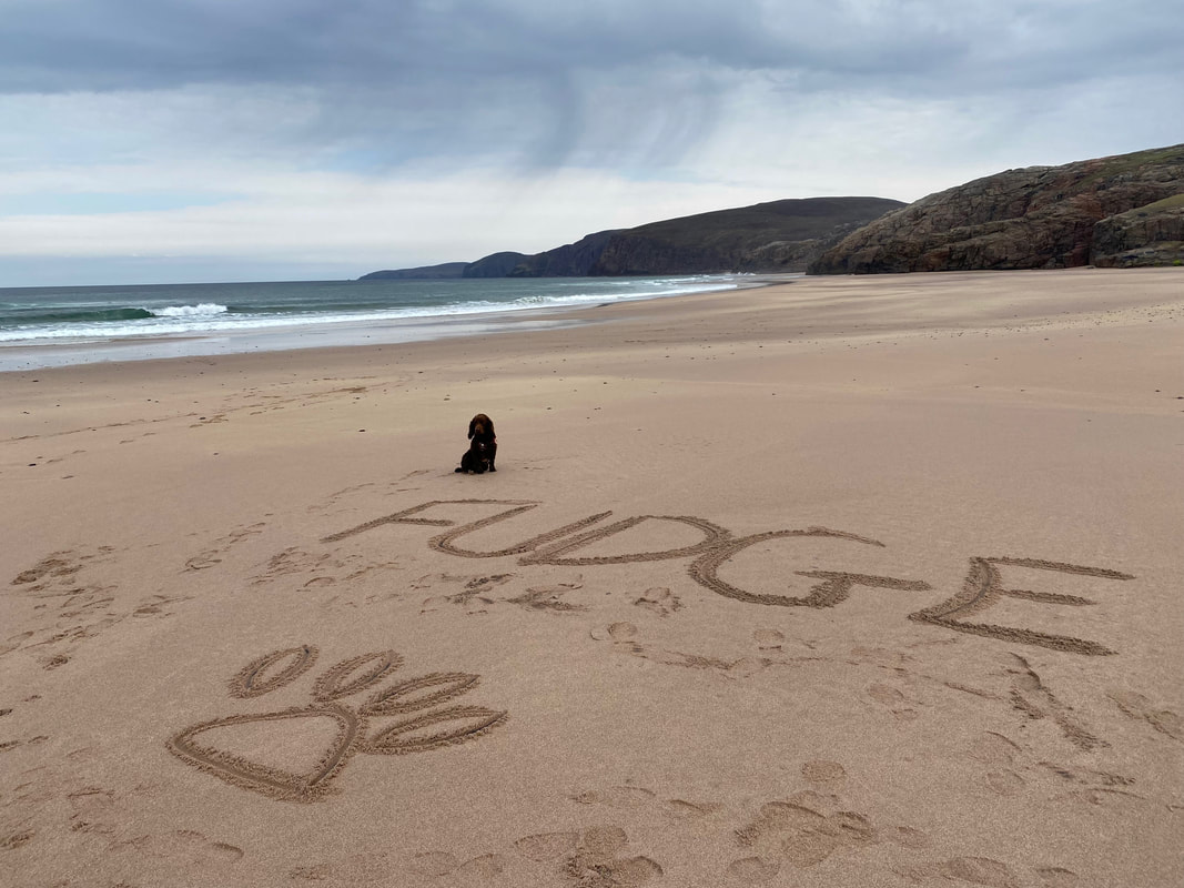
............ and now Fudge's. We didn't know he could spell his name never mind write it.
Fudge looking smug as he basks in the glory of spelling his name right
Approaching the headland at the western end of Sandwood Bay - the rocky promontory is called Rubh' a Bhuachaille
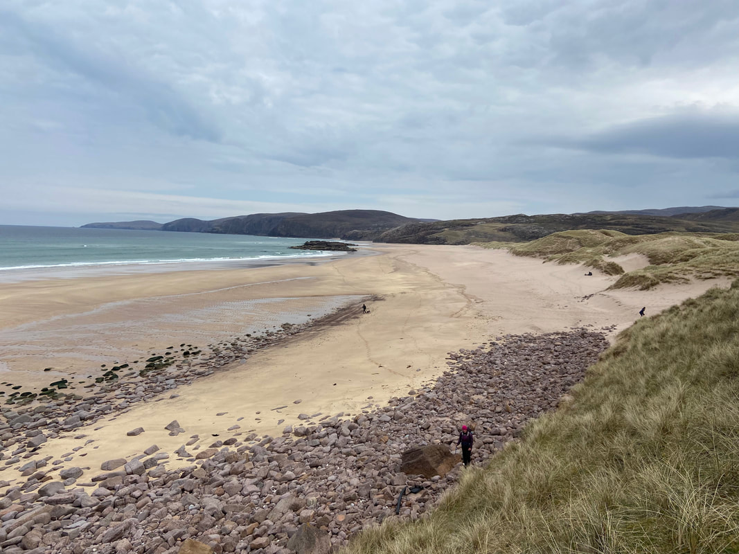
Whilst it does not look like it from here, the headland is easily accessed via a path heading up from the rocks on the left of shot
Angie heads for the point where the path is accessed. The path can also be accessed from the sandy section on the right.
A panorama along Sandwood Bay
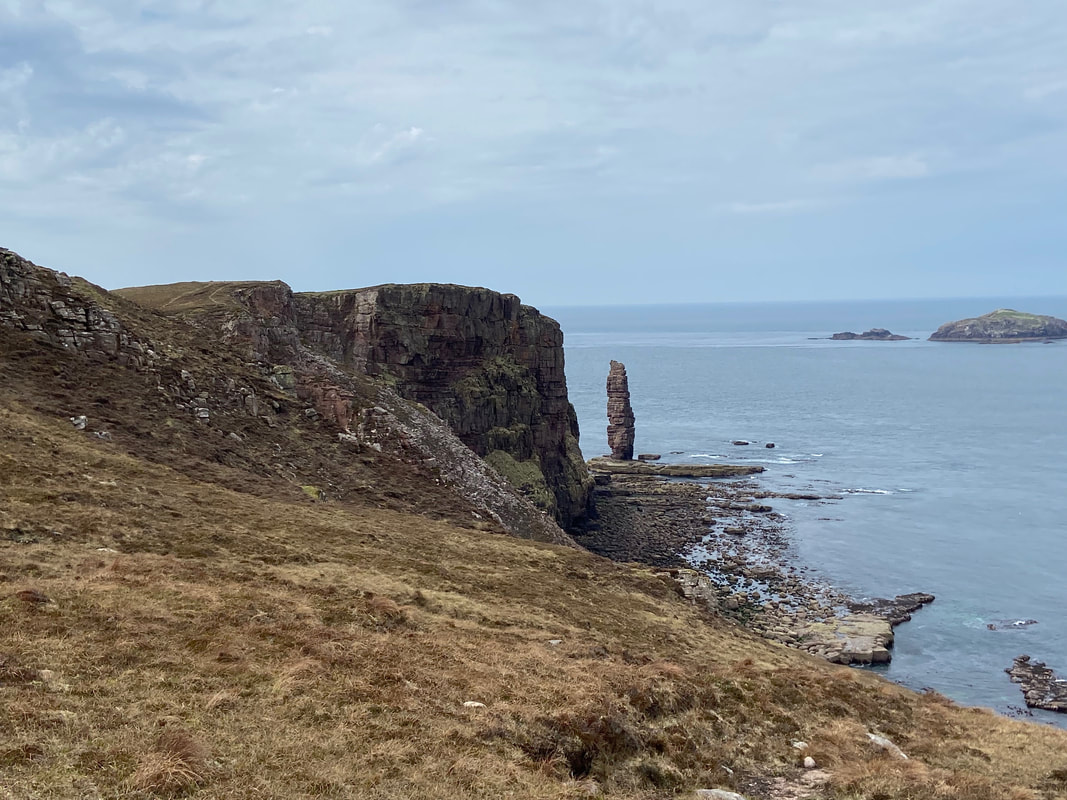
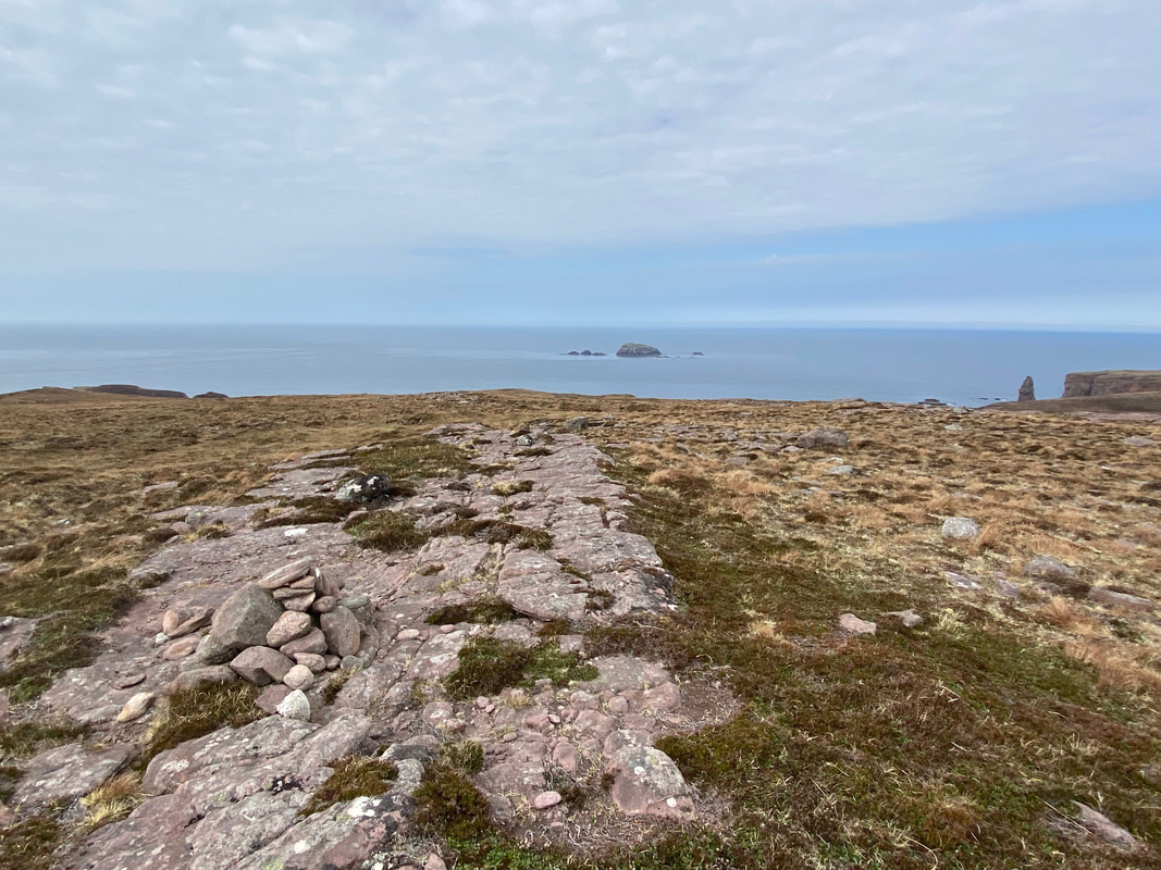
Rubh' a Bhuachaille and Am Buachaille from the headland path
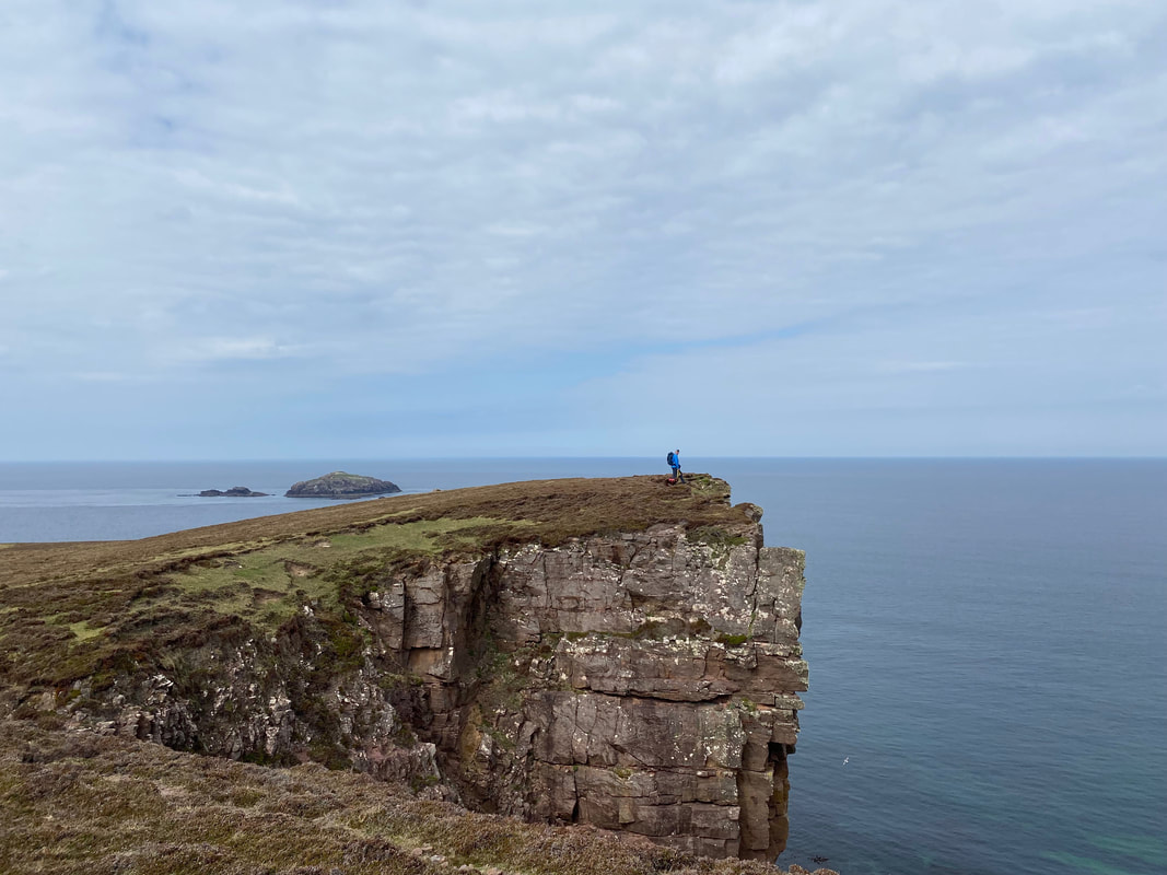
With Fudge now safely on his lead I wandered over to the promontory of Rubh' a Bhuachaille
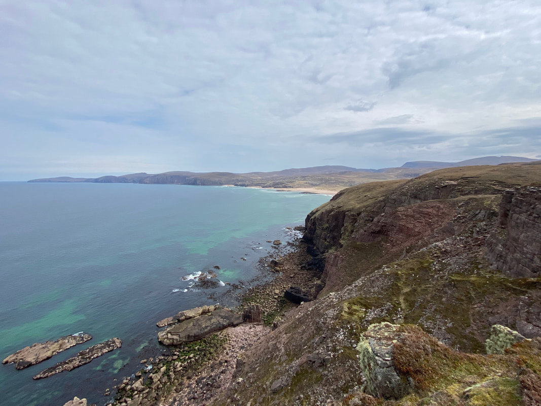
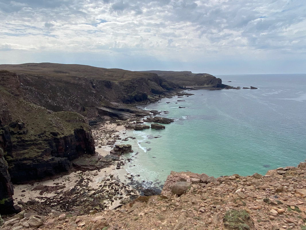
Looking north along the coast to Cape Wrath
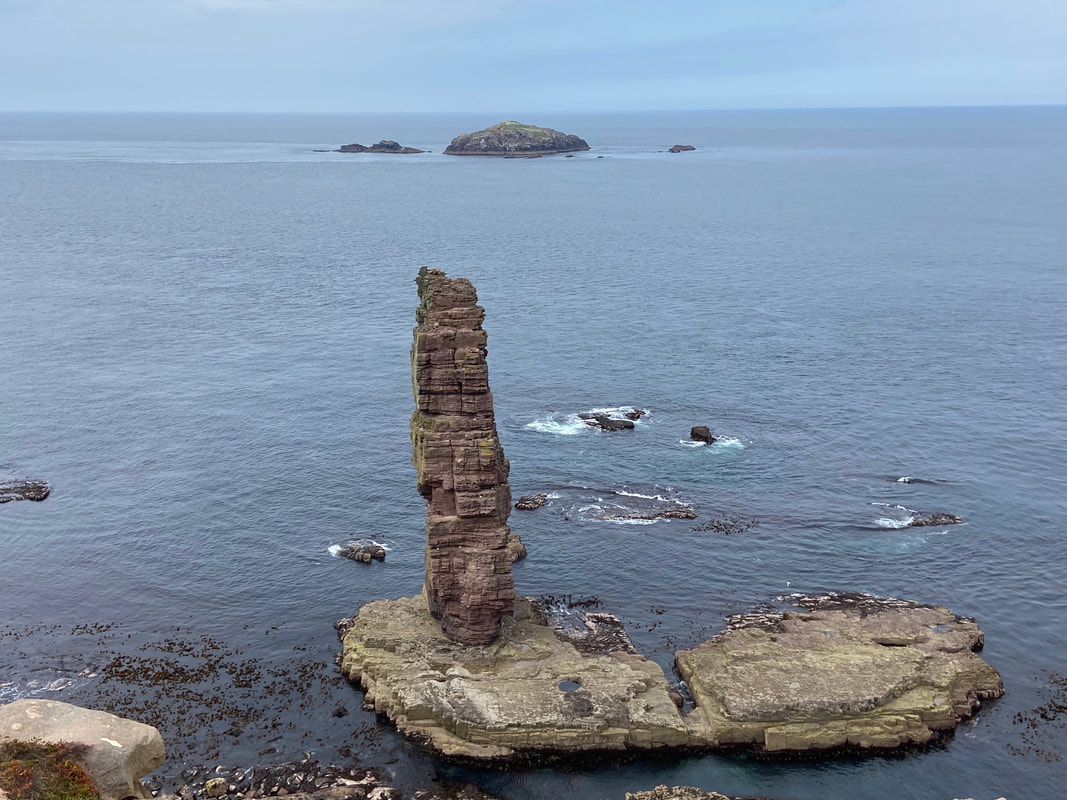
Am Buachaille
Am Buachaille is a sea stack, or vertical rock formation composed of Torridonian Sandstone. The stack stands 213ft (65 metres) high and was first climbed in 1968 by the mountaineers Tom Patey, Ian Clough and John Cleare. At least four climbing routes are identified on Am Buachaille which is considered the "most serious of 'the big three' Scottish stacks" and a "truly great stack". The easiest route is graded "Hard, Very Severe"and access to the stack involves a 30-metre (100-foot) swim at low tide. The name Am Buachaille translates as "the herdsman" or "the shepherd" in Gaelic.
Am Buachaille is a sea stack, or vertical rock formation composed of Torridonian Sandstone. The stack stands 213ft (65 metres) high and was first climbed in 1968 by the mountaineers Tom Patey, Ian Clough and John Cleare. At least four climbing routes are identified on Am Buachaille which is considered the "most serious of 'the big three' Scottish stacks" and a "truly great stack". The easiest route is graded "Hard, Very Severe"and access to the stack involves a 30-metre (100-foot) swim at low tide. The name Am Buachaille translates as "the herdsman" or "the shepherd" in Gaelic.
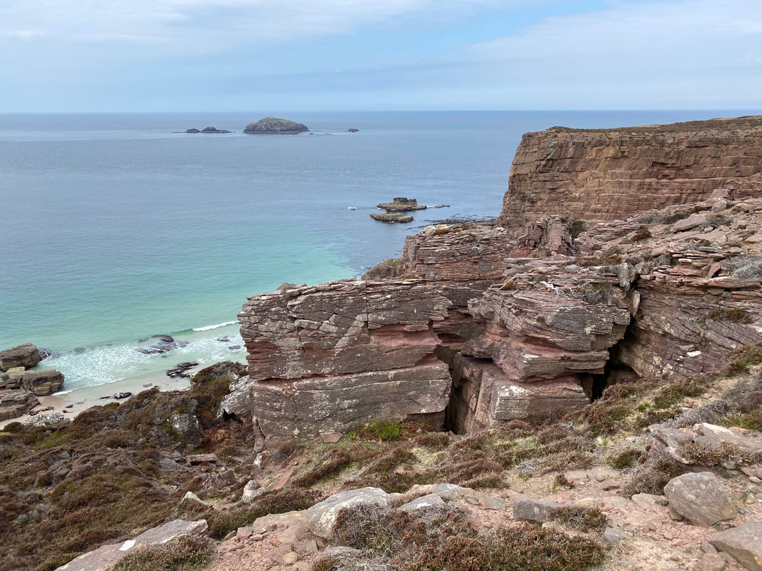
Looking south along the headland to Port Mor & Port Beag
The small island of Am Beag from Rubh' a Bhuachaille
In and around Rubh' a Bhuachaille (click Play to view)
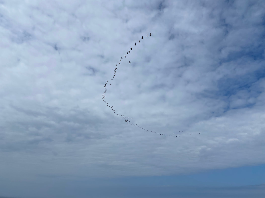
I wonder where they are off to?
From Rubh' a Bhuachaille it was now time to head inland to the small hill of Carn an Righ which is ahead
The summit of Carn an Righ
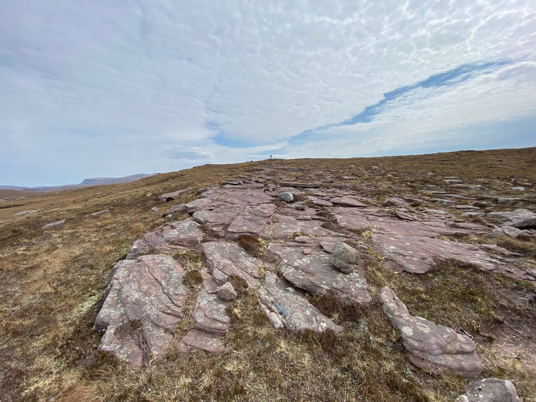
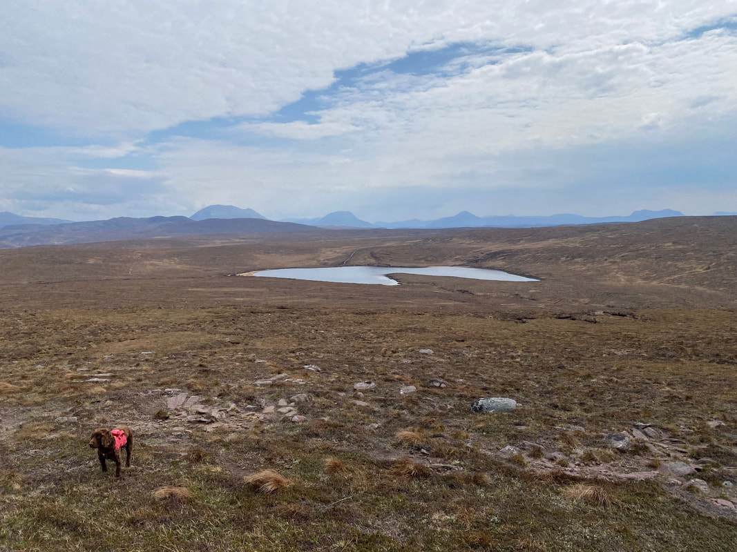
From Carn an Righ it was a pathless descent to rejoin our outward route at Loch a' Mhuilinn. In poor weather it would be best to set a bearing for the middle of the loch thus "aiming off" and simply turn left to reach the track. Despite being off path the route down to the loch is over good ground.
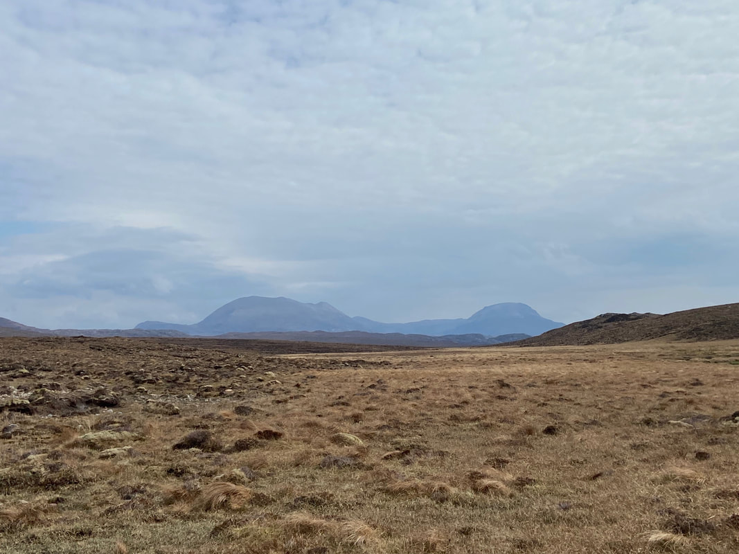
The Corbetts of Arkle & Foinaven
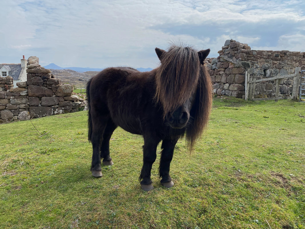
Near the end we came across this lovely little chap doing a half decent Phil Oakey impression
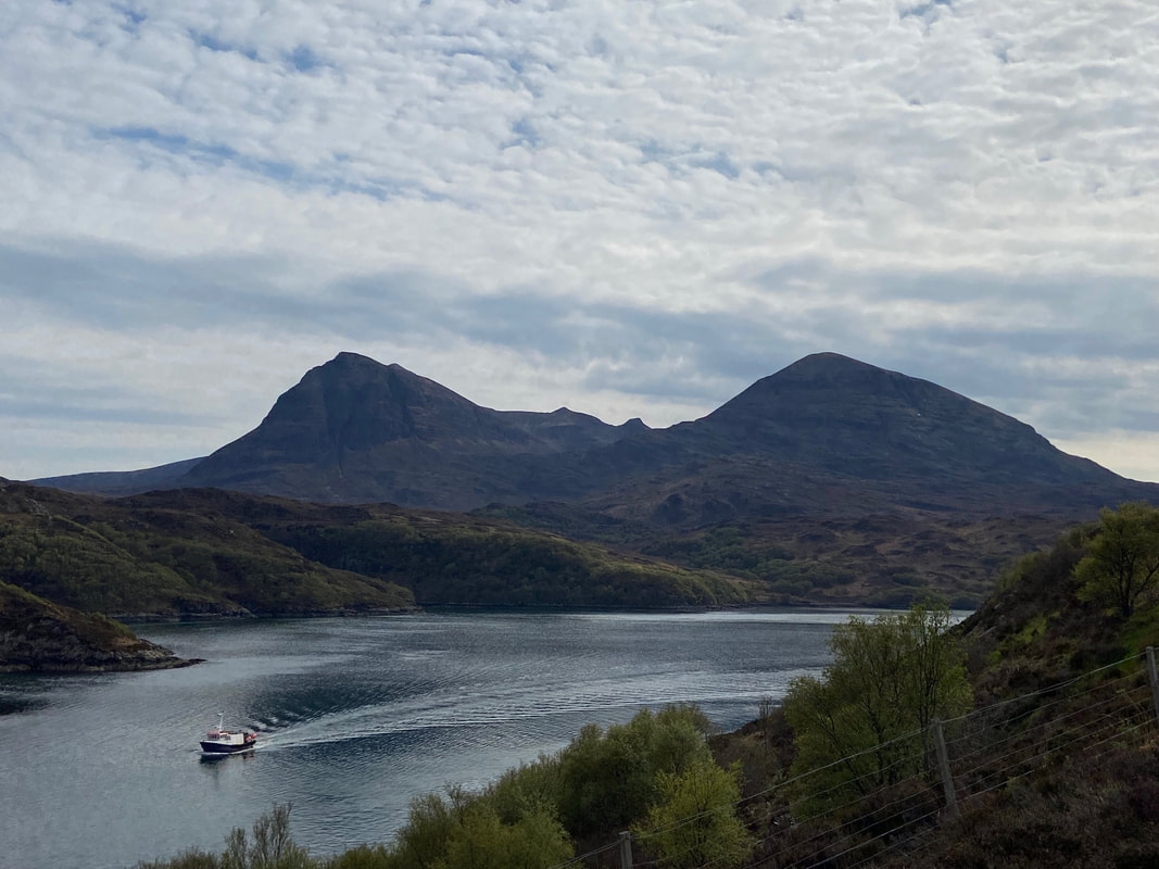
On our way back to Lochinver we stopped off near the Kylesku Bridge to take some photos of this stunning area. This shot is looking from from the viewpoint car park near the bridge over Loch a' Chairn Bhain to the Quinag.
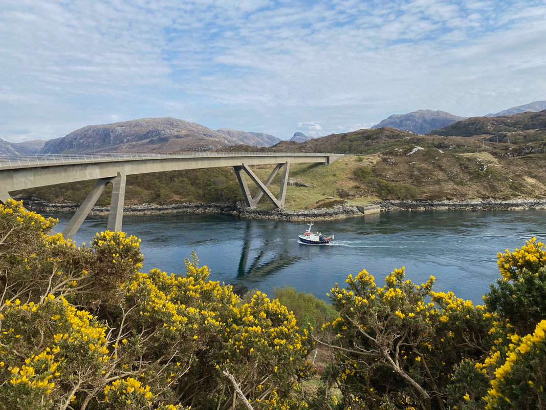
The Kylesku Bridge
Costing about £4m, the bridge was opened in 1984 by Her Majesty Queen Elizabeth II
Costing about £4m, the bridge was opened in 1984 by Her Majesty Queen Elizabeth II
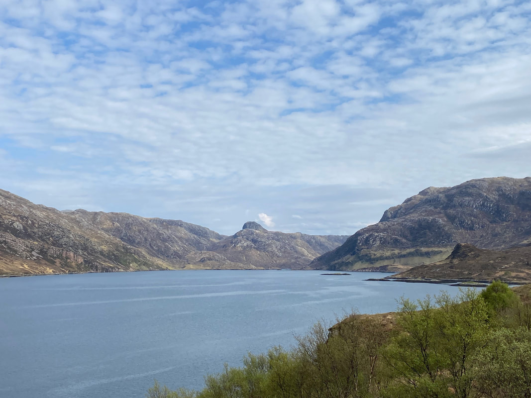
Looking down Loch Glencoul to The Stack of Glencoul
