Gowbarrow Fell - Sunday 5 May 2013
Route
Watermillock Church - Swinburn's Park - Gowbarrow Fell - Swinburn's Park - Watermillock Church
Parking
Watermillock Church - Grid Ref NY432230
Mileage
5 miles
Terrain
Good path as far as the Shooting Lodge after which the path becomes intermittent
Weather
Mild with occasional sunshine although blustery on the Summit
Time Taken
2hrs 30mins
Total Ascent
1440ft (439m)
Wainwrights
1
Map
OL5 - The English Lakes - North Eastern Area
|
GPX File
|
| ||
If the above GPX file fails to download or presents itself as an XML file once downloaded then please feel free to contact me and I will send you the GPX file via e-mail.
Walk Description
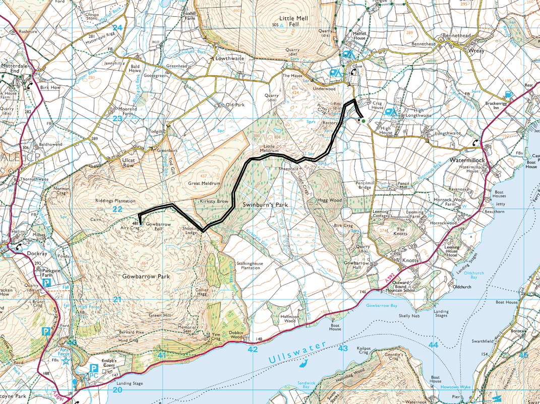
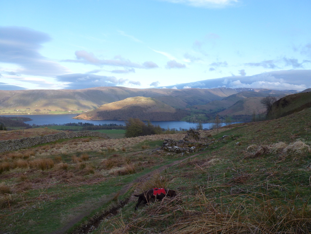
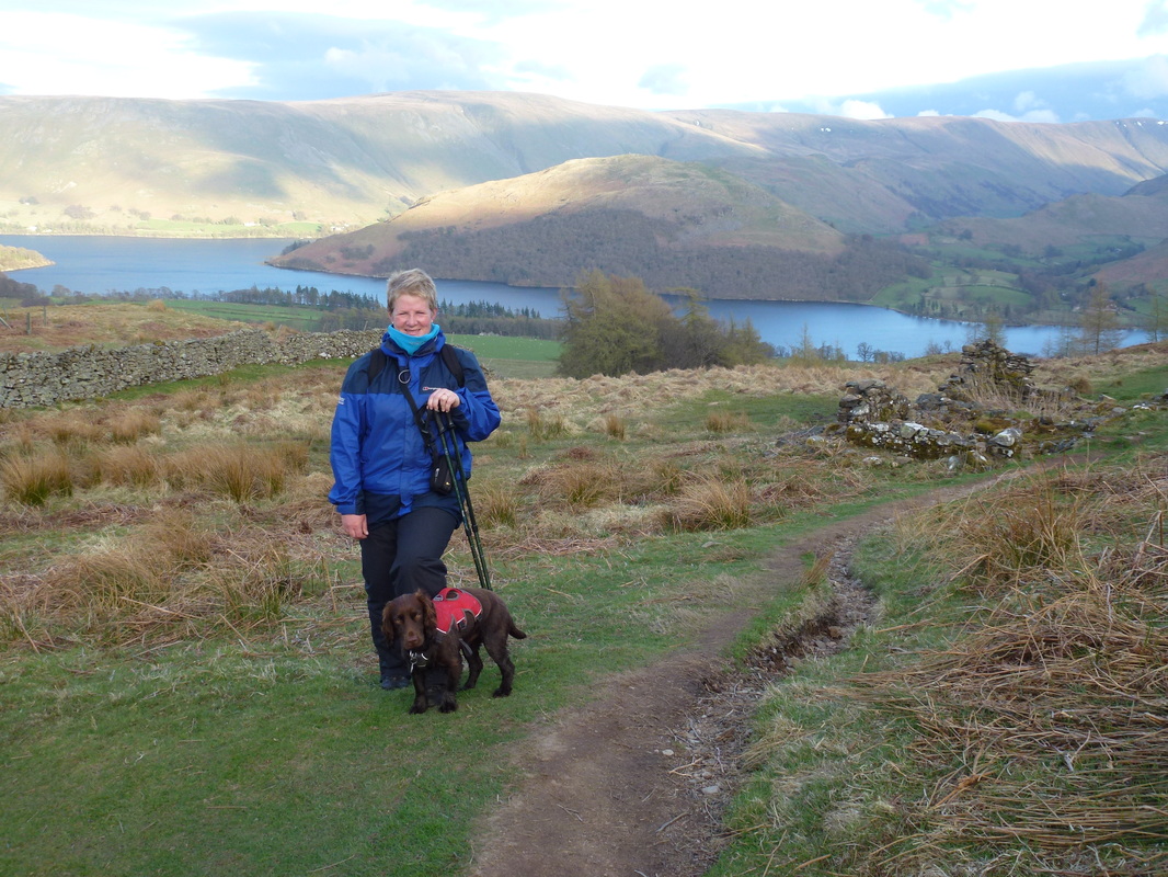
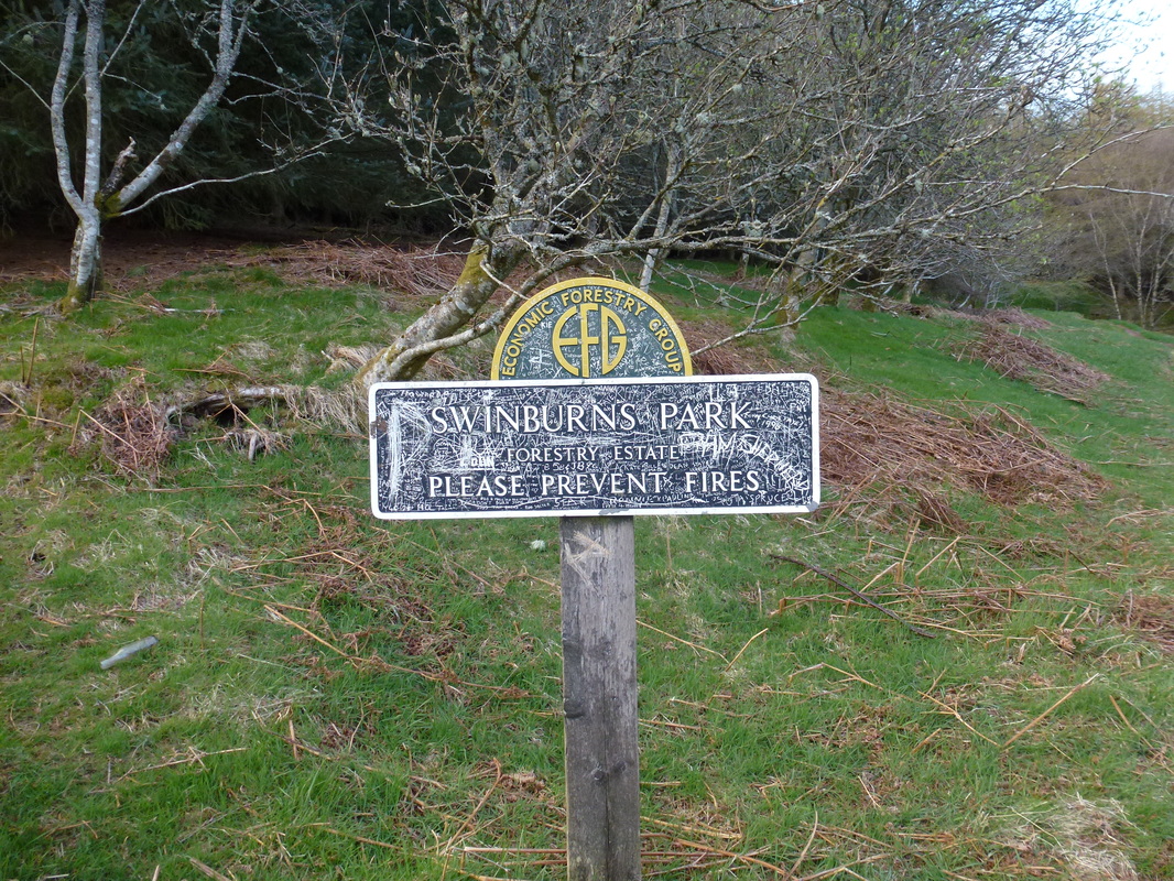
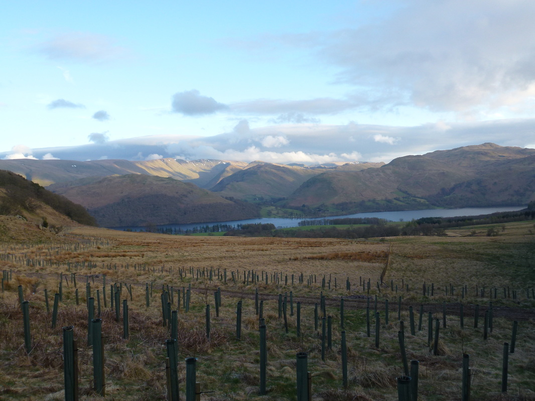
After a filling Sunday Lunch in The Herdwick Inn at Penruddock theherdwickinn.co.uk we made an early evening ascent of Gowbarrow Fell. The walk begins at the very pretty Watermillock Church and makes its way on a good path through the woodland of Swinburn's Park. At the Shooting Lodge the path becomes intermittent therefore we followed the wall to the right and then picked up a path from the wall which leads to the summit. For relatively little effort, the top of the fell gives superb views over Ullswater. We both really enjoyed this walk and did not see anybody either on the way up or down.
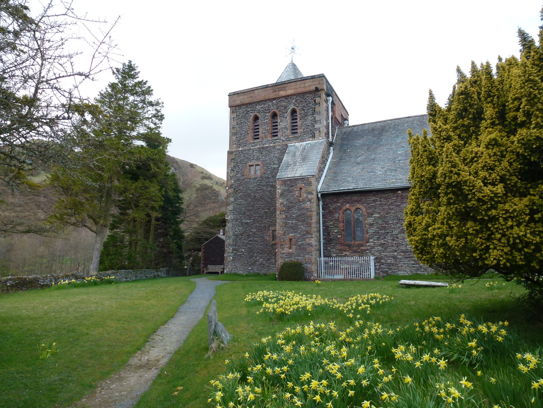
Watermillock Church
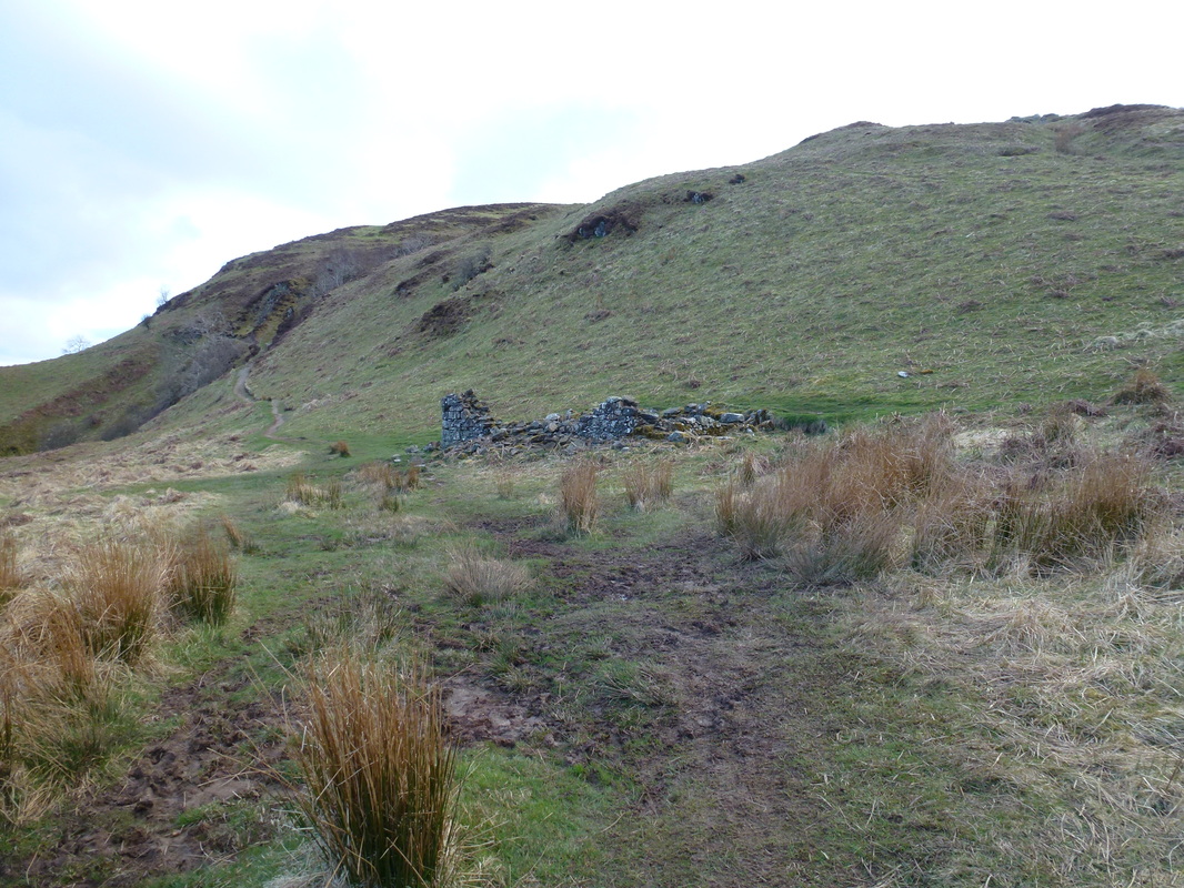
The ruined Shooting Lodge - turn right here!
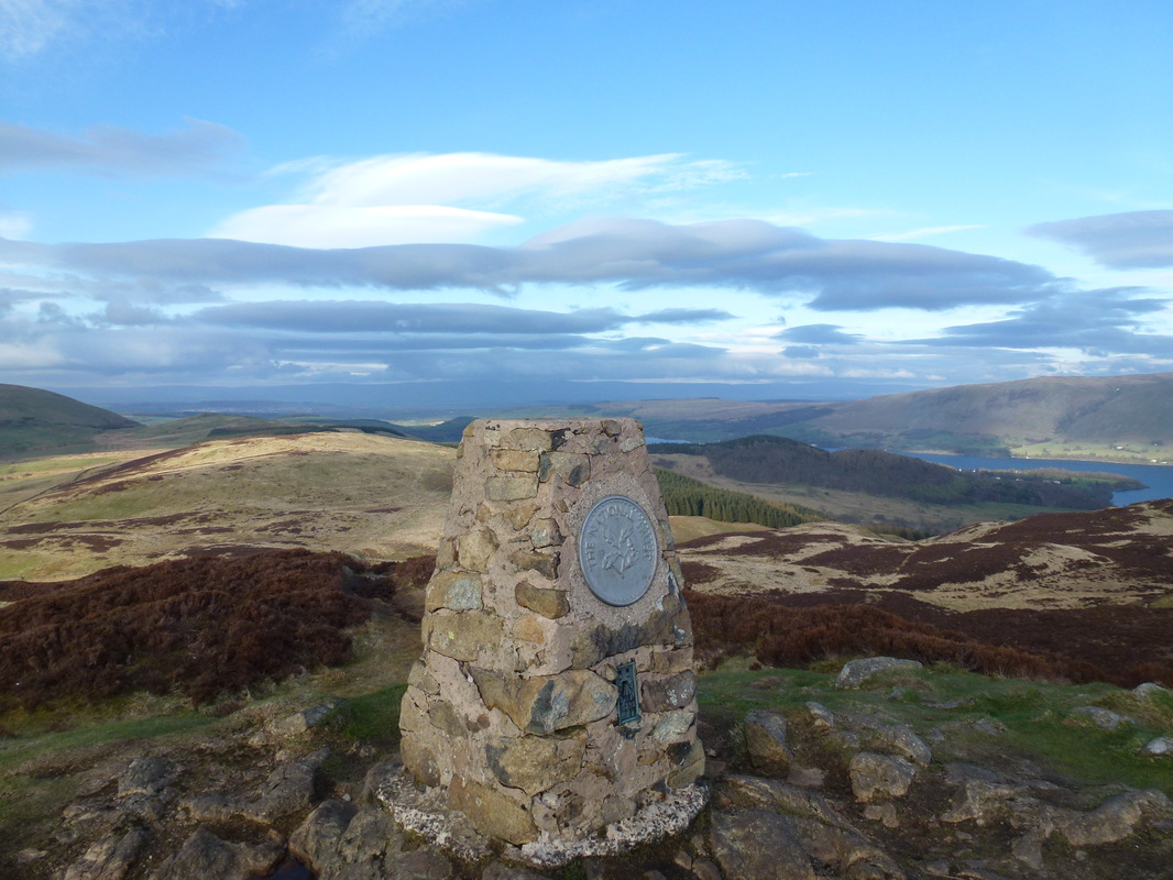
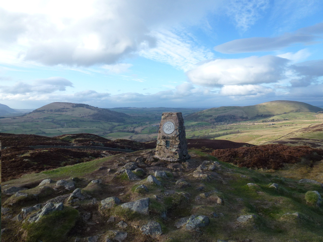
The Summit of Gowbarrow Fell
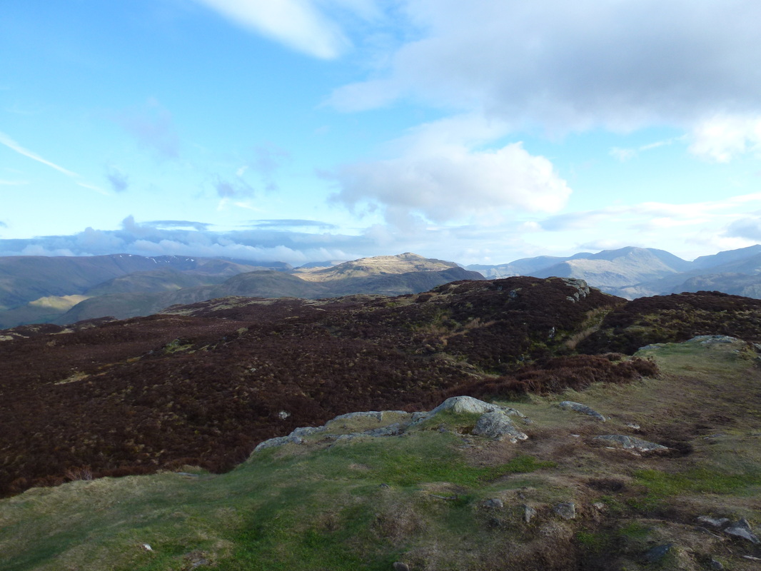
Place Fell
Sheffield Pike in the centre with Helvellyn behind
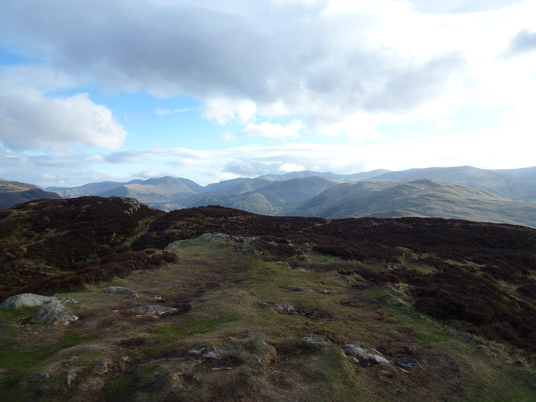
Gowbarrow Fell Summit with the Mell Fell brothers in the background - Great to the left and Little to the right!
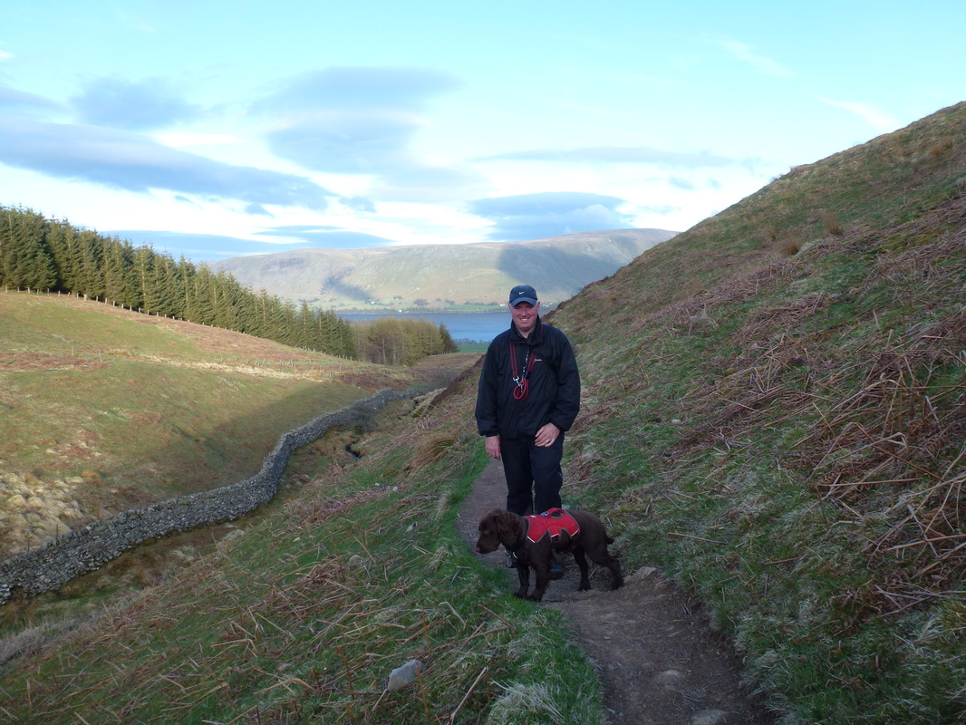
Dave & Fudge on the descent - on the left is the wall we followed both up and down. Loadpot Hill and Wether Hill are behind Ullswater
Hallin Fell in sunshine with Loadpot Hill and Wether Hill behind. Steel Knotts is to the right.
Hallin Fell and Ullswater - Fudge looks impatient!
It seems that nowhere is safe from graffiti
The Far Eastern Fells