Rosedale Abbey & The Iron Stone Railway - Wednesday 19 January 2022
Route
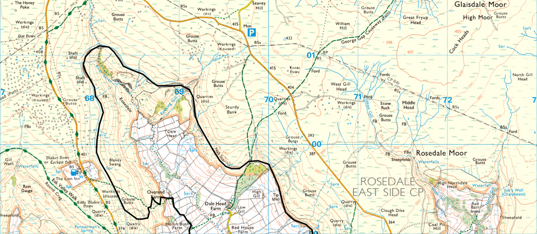
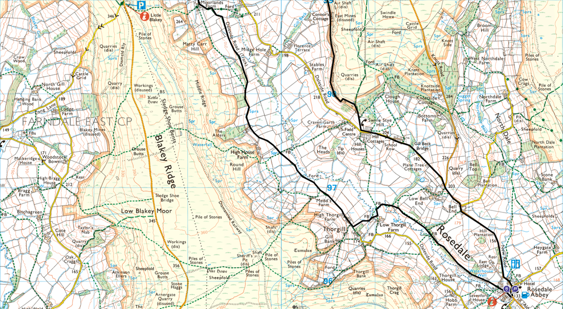
Rosedale Abbey - Thorgill - Daleside Road - Moorlands Farm - Overend Farm - Blakey Swang - Head of Rosedale - Nab Scar - East Mines - Hill Cottages - Bell End - Rosedale Abbey
Parking
Roadside parking in Rosedale Abbey. The Grid Reference is SE 72471 95822 and the nearest postcode is YO18 8SA.
Mileage
10.6 miles
Terrain
Valley paths muddy in places, cinder tracks & tarmac along quiet lanes.
Weather
Mild temperature, strong breezes and sunshine.
Time Taken
5hrs
Total Ascent
951ft (290m)
Map
OL26 - North York Moors (Western Area)
Walkers
Dave, Angie & Fudge
|
GPX File
|
| ||
If the above GPX file fails to download or presents itself as an XML file once downloaded then please feel free to contact me and I will send you the GPX file via e-mail.
Route Map
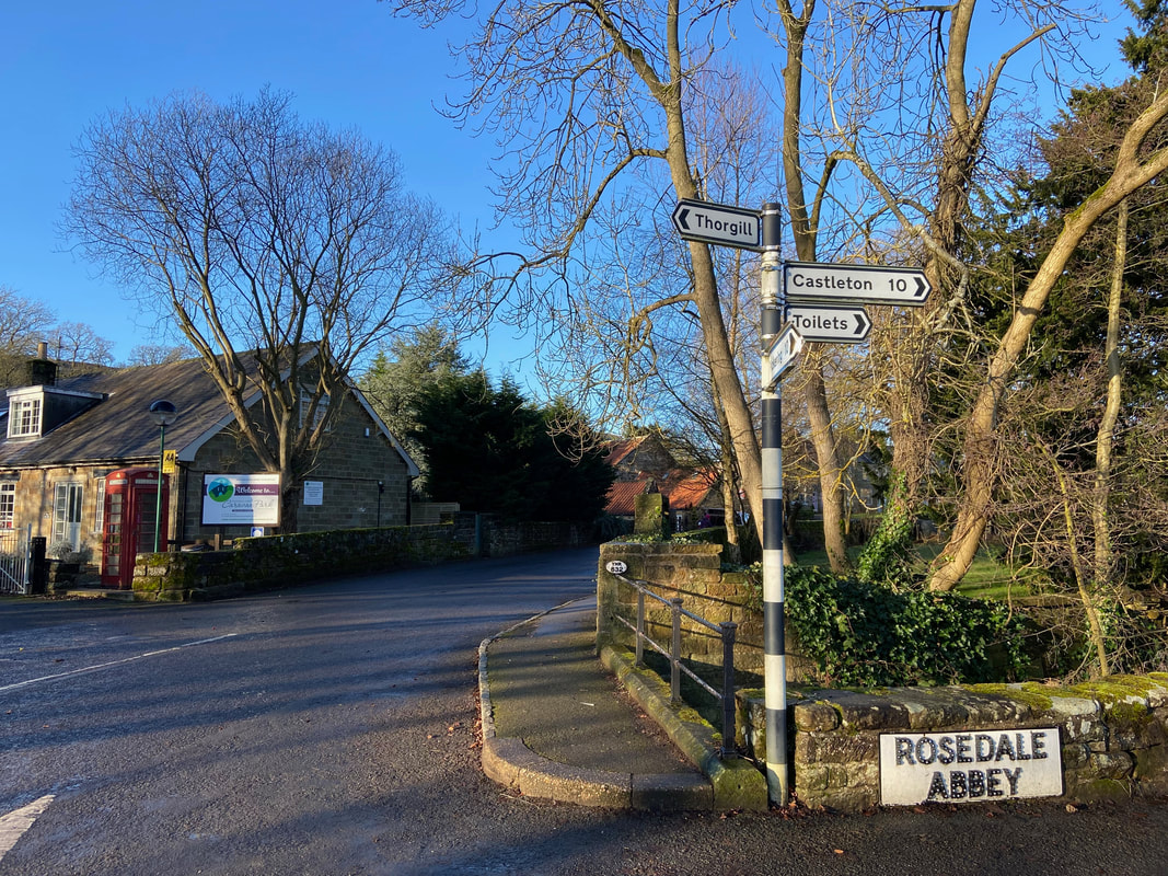
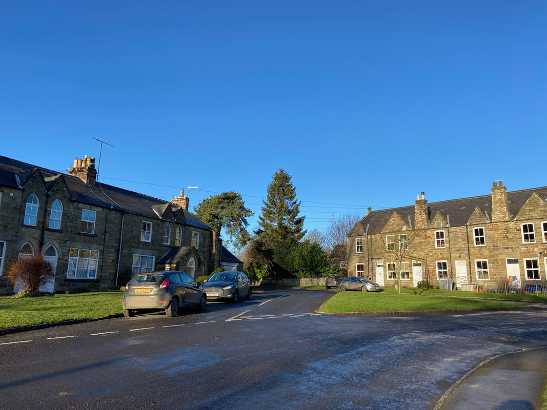
The walk started from the lovely village of Rosedale Abbey where there is plenty of roadside parking. Visiting Rosedale today, it is hard to imagine that it spent the seventy years between the 1850s and 1920s as a bustling, sooty and noisy hive of industrial activity, home to nearly 5,000 miners. Nowadays it is home to a lively, diverse and expanding community set in the heart of some of the UK’s most beautiful scenery.
Heading north through the village we turned off to the left towards Rosedale Abbey Caravan Park
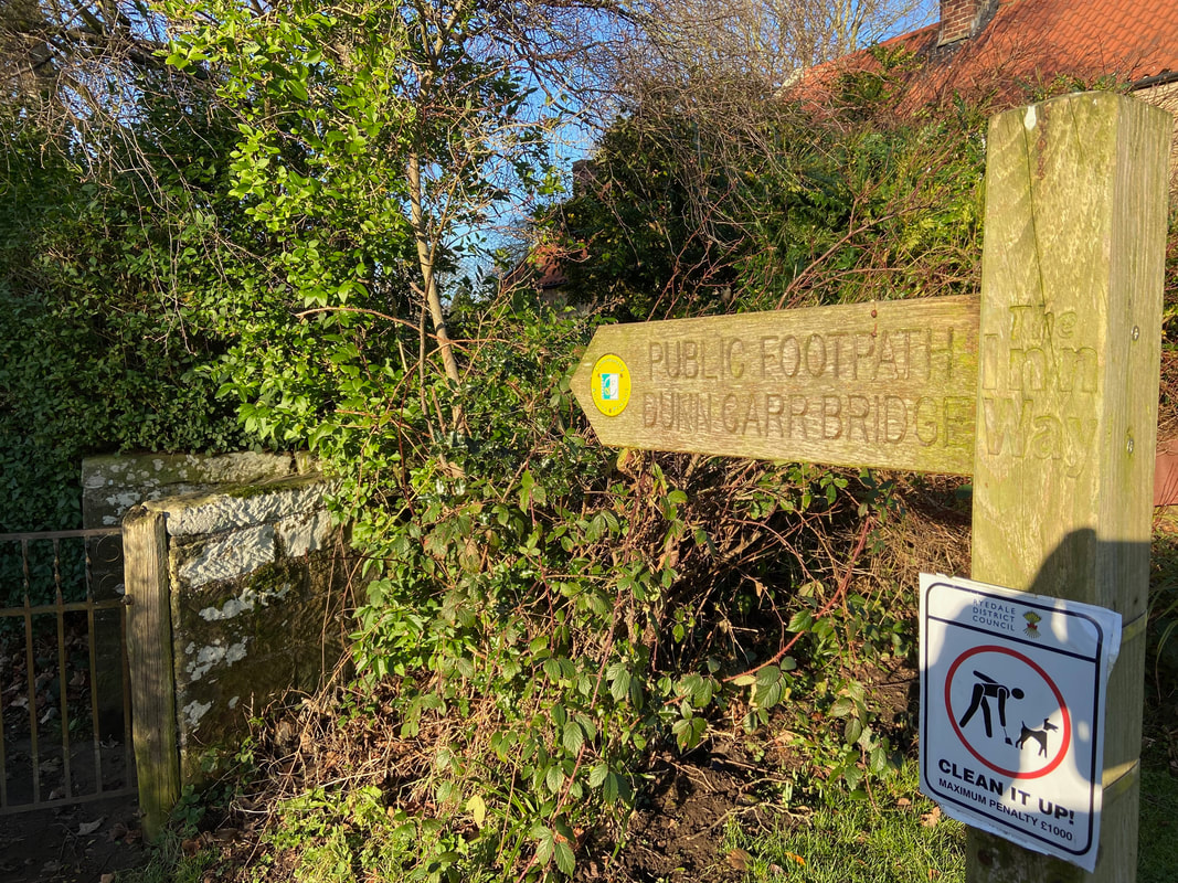
From the road a path on the left points the way to Dunn Carr Bridge
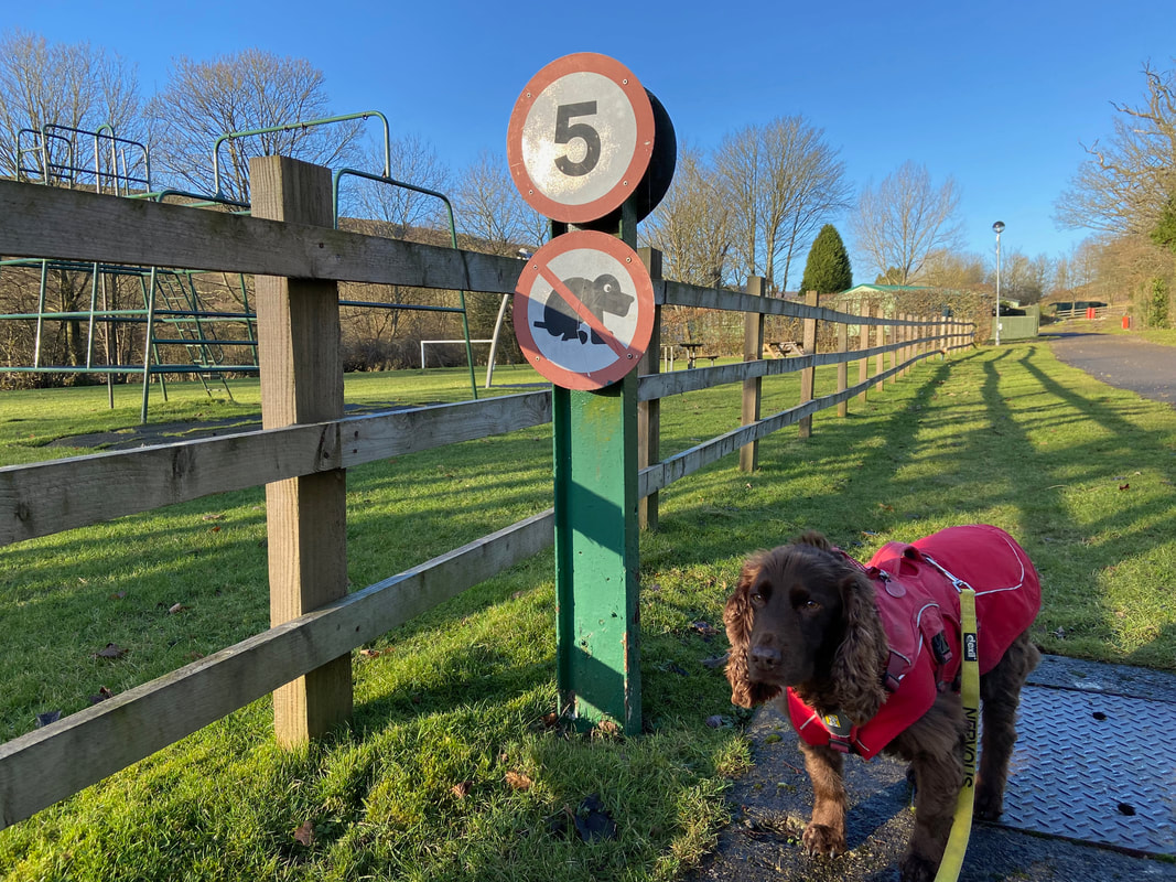
Passing through the Caravan Park Fudge gets a timely reminder - he's very particular about where he goes and therefore the look of disdain & disgust on his face says it all. Mind you, he cannot poo at that speed anyway.
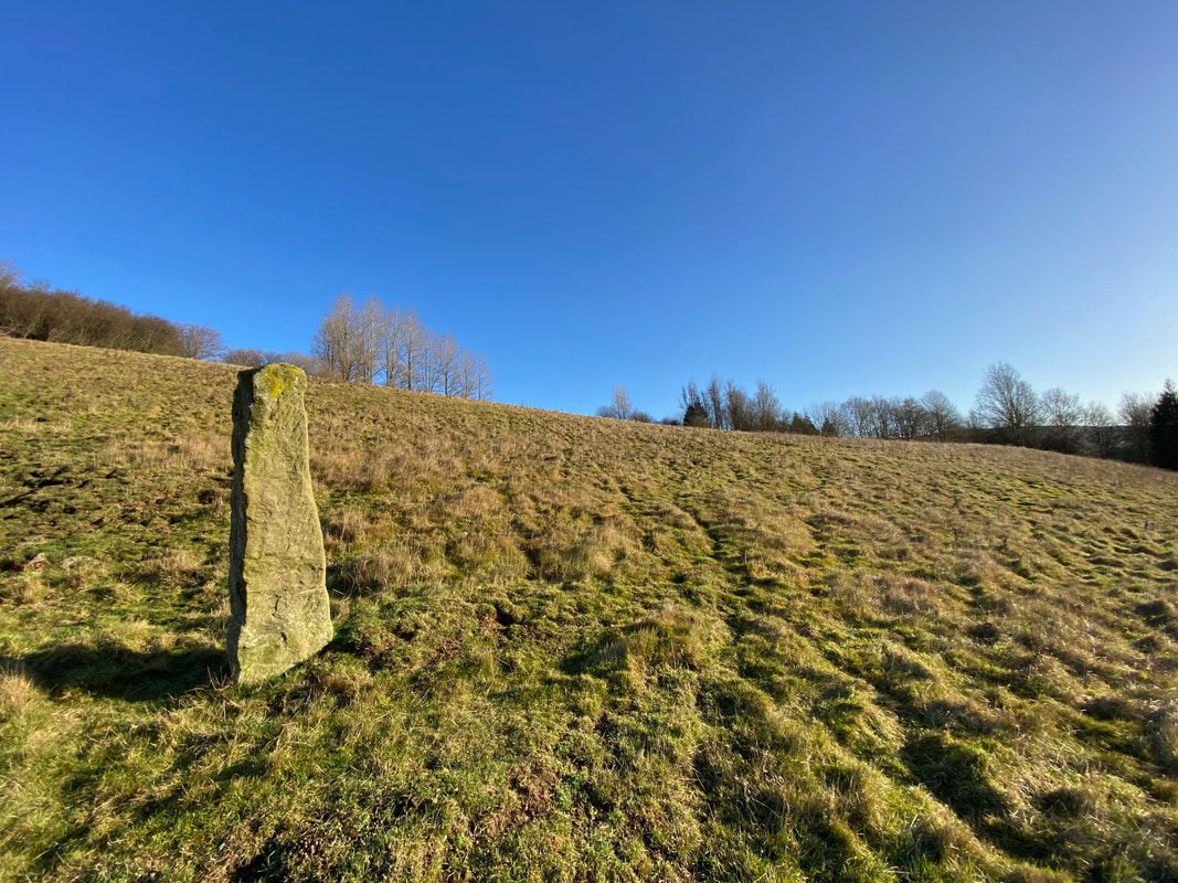
The route passes an old boundary stone as we head to Dunn Carr Bridge
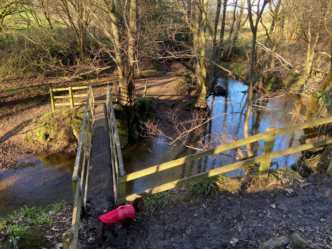
Dunn Carr Bridge over the River Seven
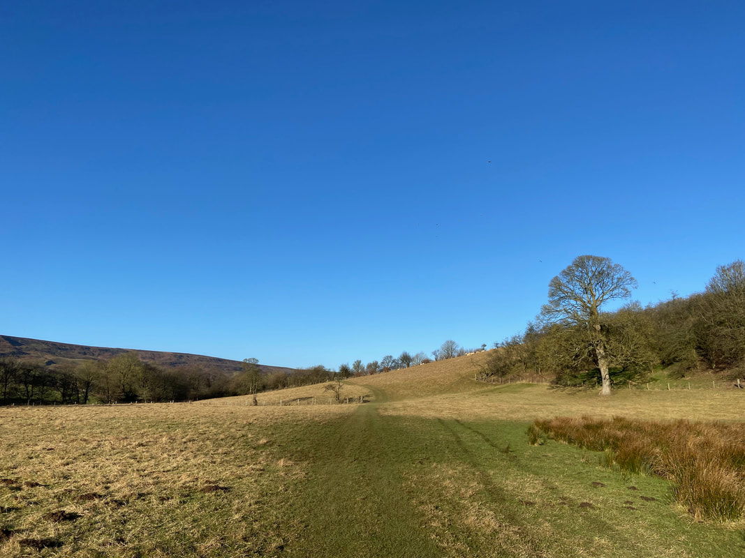
Heading over lush farmland to Thorgill
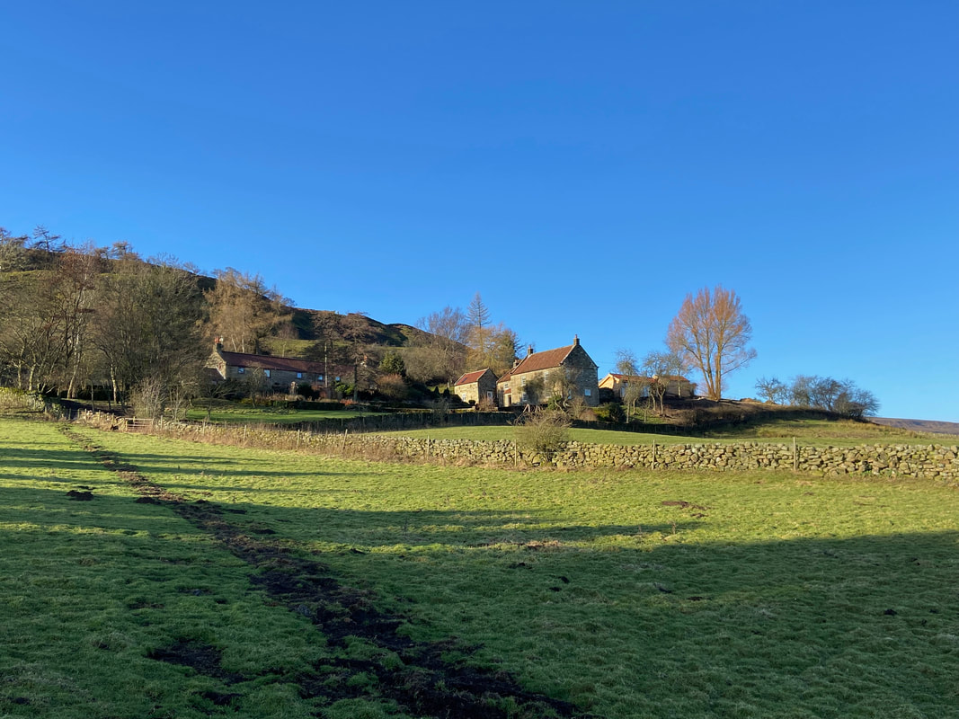
Approaching the hamlet of Thorgill
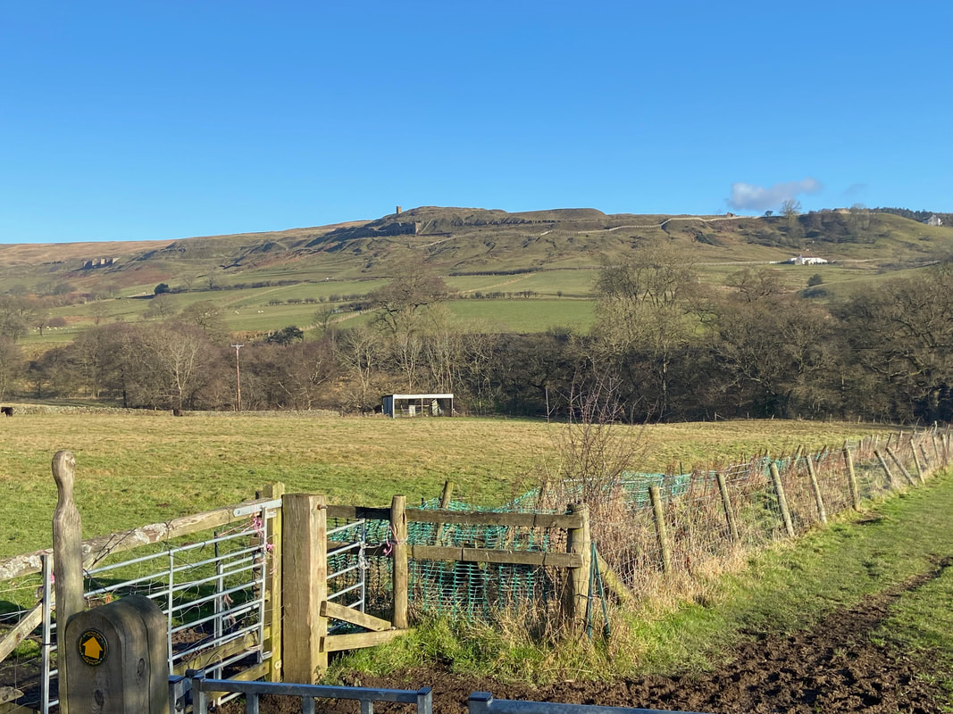
Looking over to Rosedale East and our return route via the mine workings
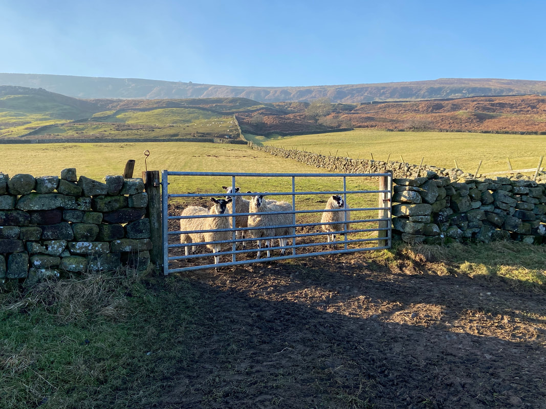
A reception committee from the locals at High Thorgill Farm..............
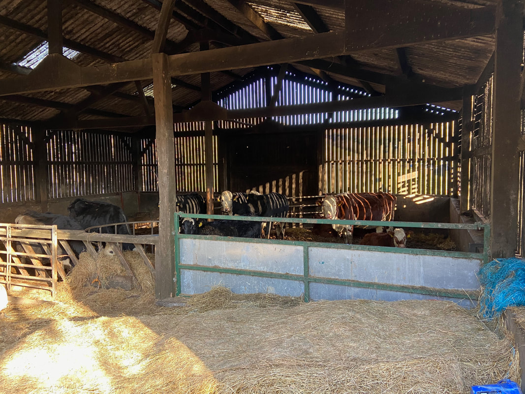
........ and a big hello from the Bovines
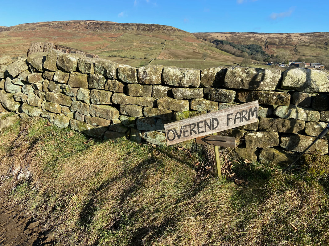
From Overend Farm the gradient increased to climb up on to the old railway line. The farm to the rear is Dale Head.
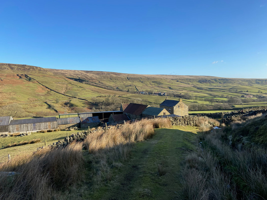
Looking back to Overend Farm as we start the climb
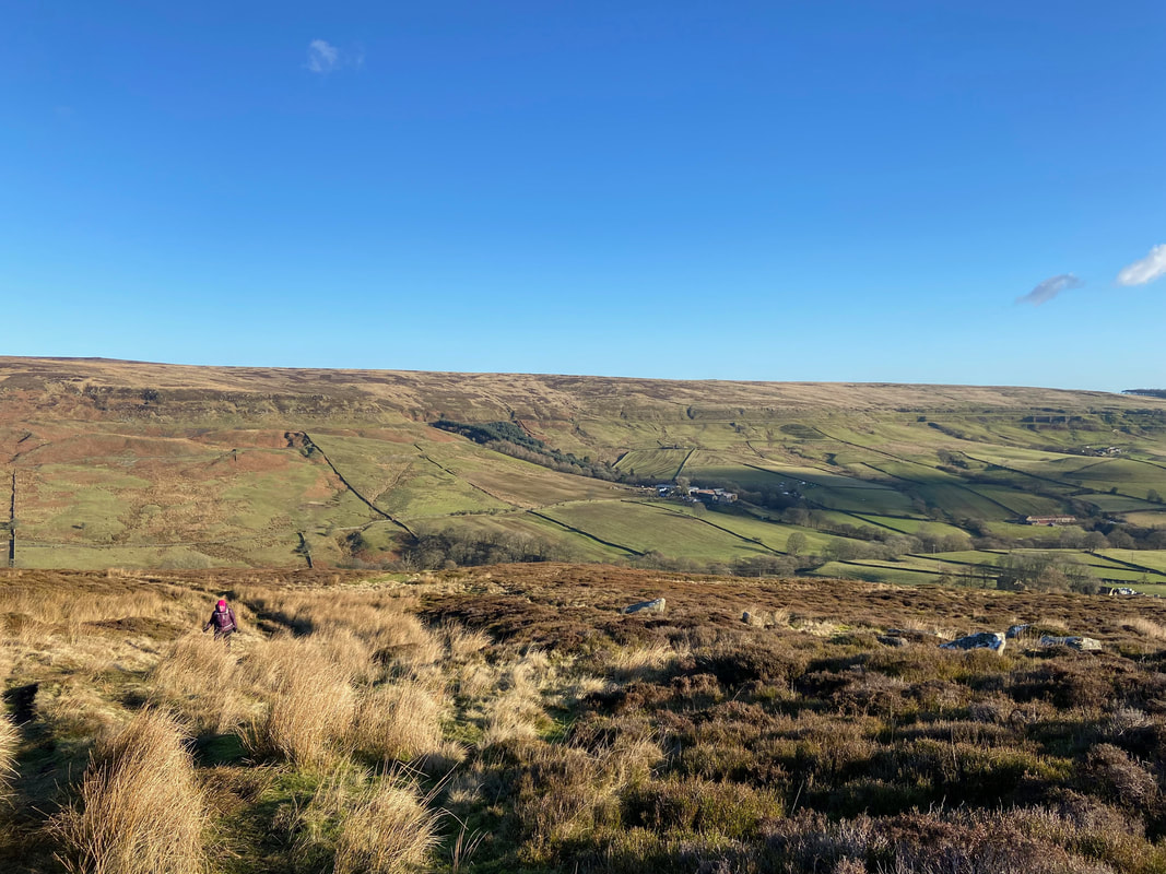
Looking to Rosedale East as we continue the gradual climb
The rough path becomes a decent track as we near the old railway line
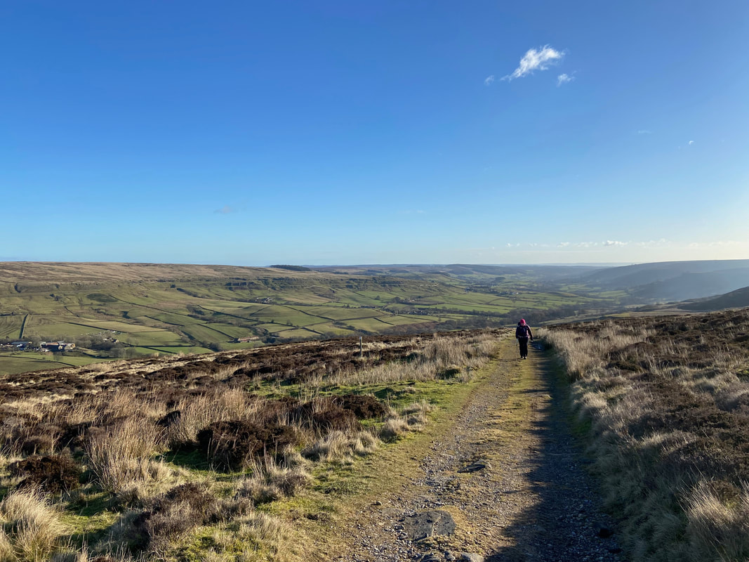
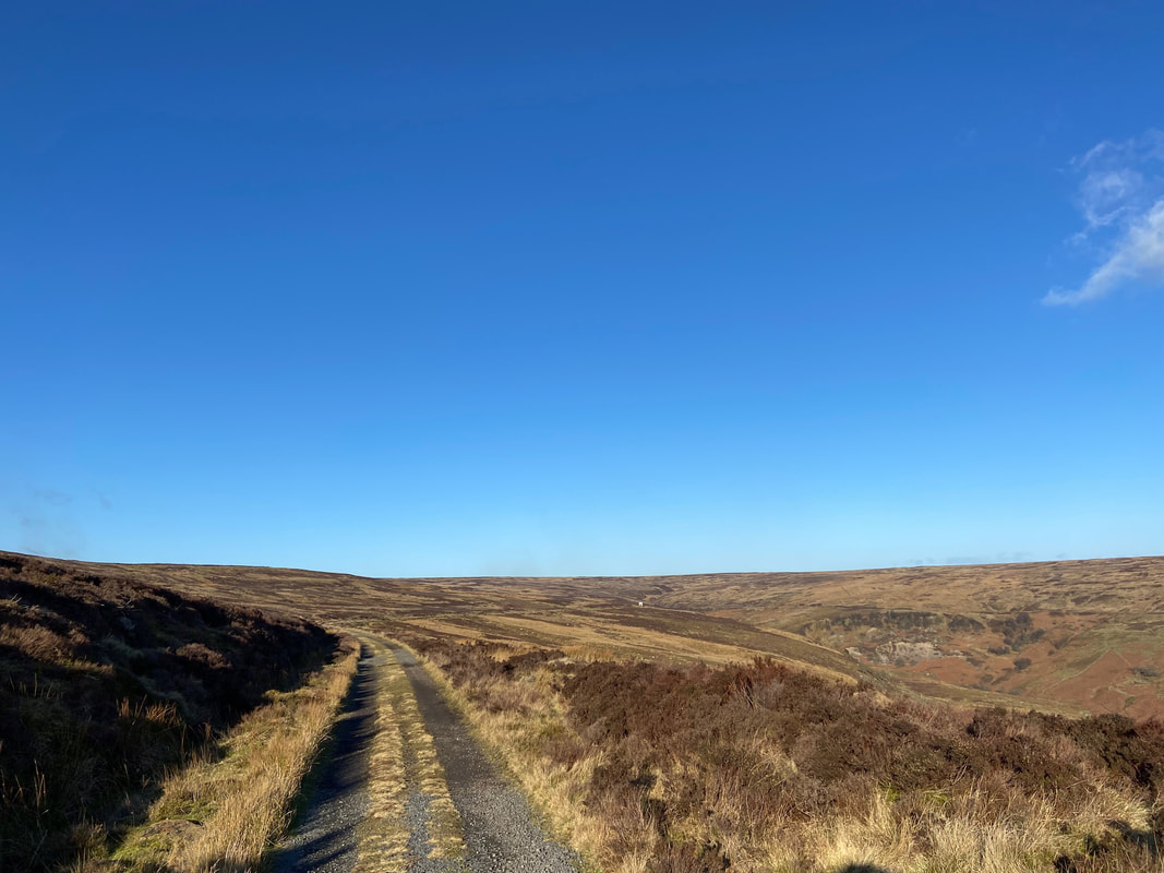
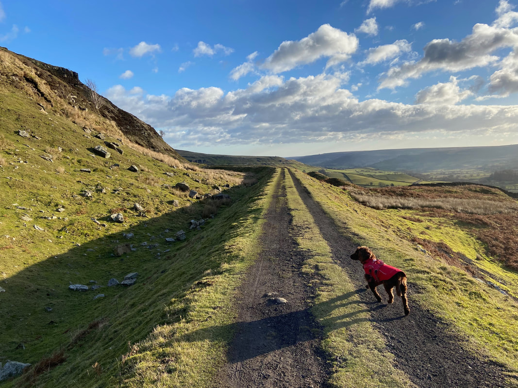
Up on the track bed of the Rosedale Railway
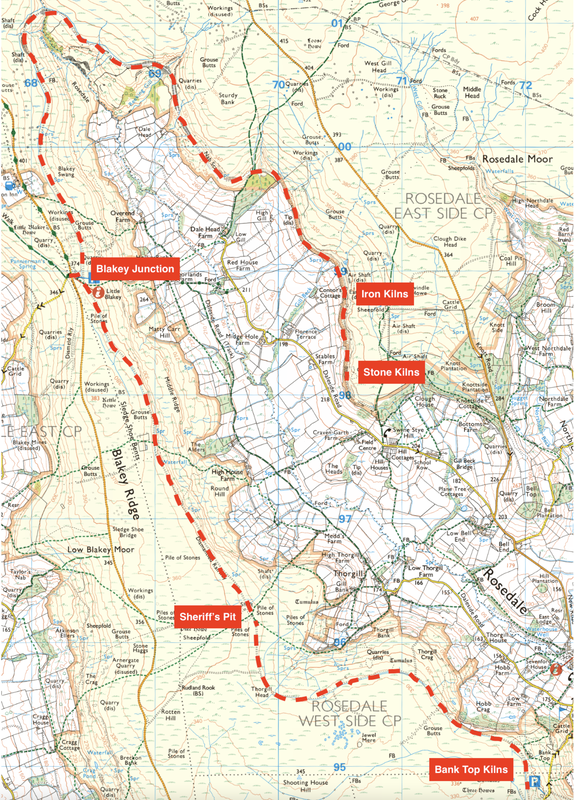
The Rosedale Ironstone Railway was an 19.5-mile (31.4 km) goods-only line running from Battersby Junction via Ingleby Incline, across the heights of the North York Moors to reach the Rosedale valley. It opened to traffic as a narrow gauge railway to Ingleby Incline top in 1858, converted to standard gauge and opened to Rosedale West in 1861 closing completely in 1929. The reason for building the railway was to carry ironstone from three hillside kilns in Rosedale to a single point at Blakey Junction (just ahead from where this pic was taken) to blast furnaces in Teesside and County Durham. Apart from Ingleby Incline, no major engineering works were constructed and as such, particularly the east branch, the railway followed the contours of the surrounding hillside.
As for who actually built the railway well this was down to the famous Victorian navvies using primitive and very basic tools such as picks, shovels and wheelbarrows. The navvies lived on site in turf huts which were left to decay when the job was finished and they moved on. It was a brutal existence and conditions were simply awful.
The map of the Rosedale Railway. The map shows the 3 kilns plus the Sheriff's Pit Mine. The ironstone would be moved from the 3 Kilns to Blakey Junction for onward transporting to Ingleby Incline then on to the blast furnaces.
Image used by kind permission of Paul Beal (www.paulbeal.com)
Image used by kind permission of Paul Beal (www.paulbeal.com)
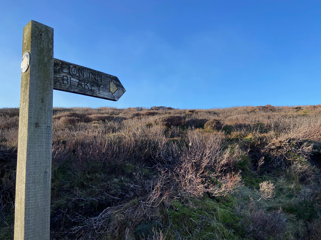
Passing the turn off to Blakey Junction and The Lion Inn
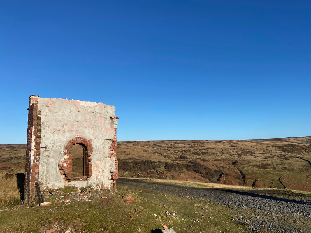
Continuing along the trackbed towards the head of Rosedale. The building which can just about be seen in the distance is the ruins of a water tower.
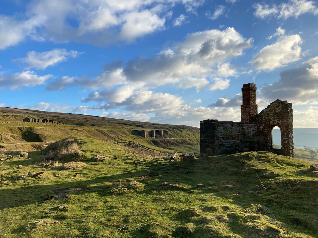
The ruins of the old water tower near Rosedale Head. The water contained within would be used to top up engines as they were working hard to steam uphill towards Blakey Junction.
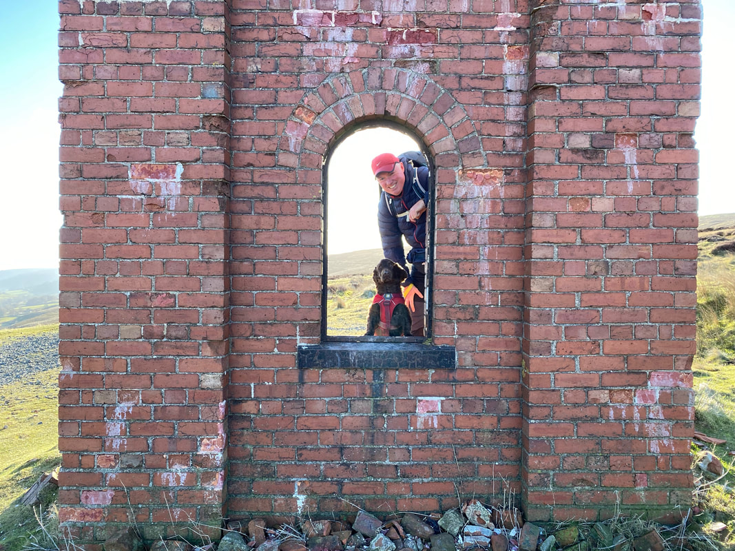
With Fudge at the old water tower
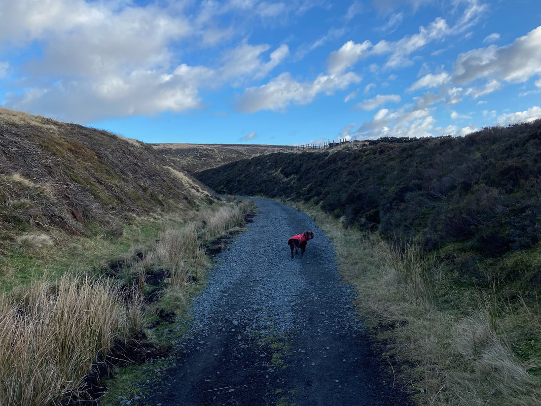
Rounding Rosedale Head the trackbed passed through several deep cuttings - these would have been excavated by hand.
The trackbed continues on to pass Reeking Gill
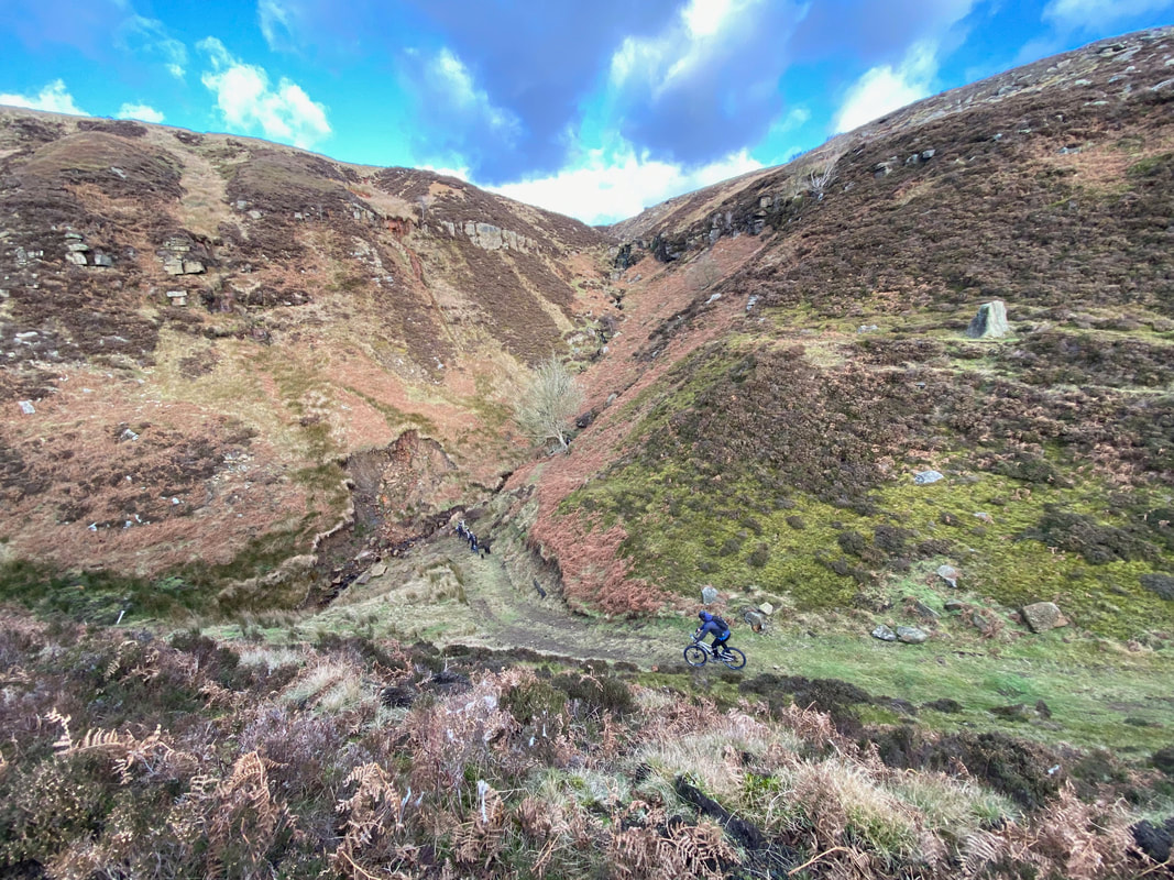
A trio of mountain bikers descend from the main path to cycle down to Reeking Gill
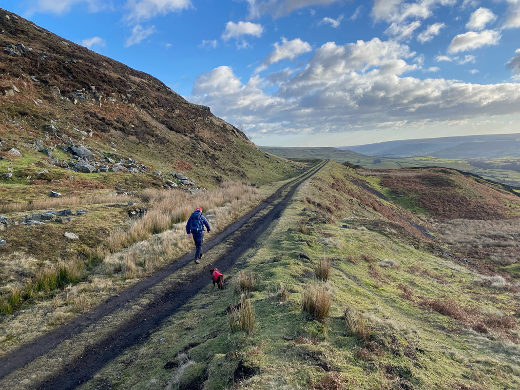
Fudge and I stride out from Reeking Gill onward towards Dale Head
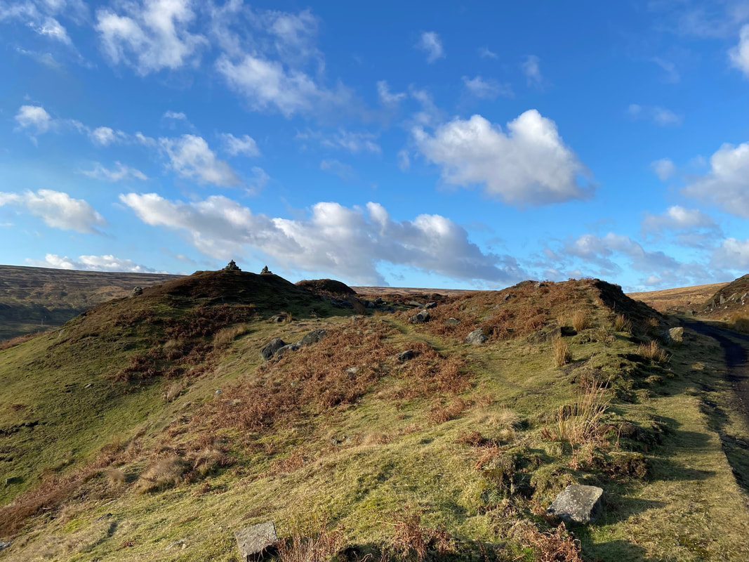
Near Dale Head the route passes a small hillock with a couple of cairns for company
Fudge continues along the trackbed as we near the turn off for Dale Head Farm
By now we appeared shadows of our former selves
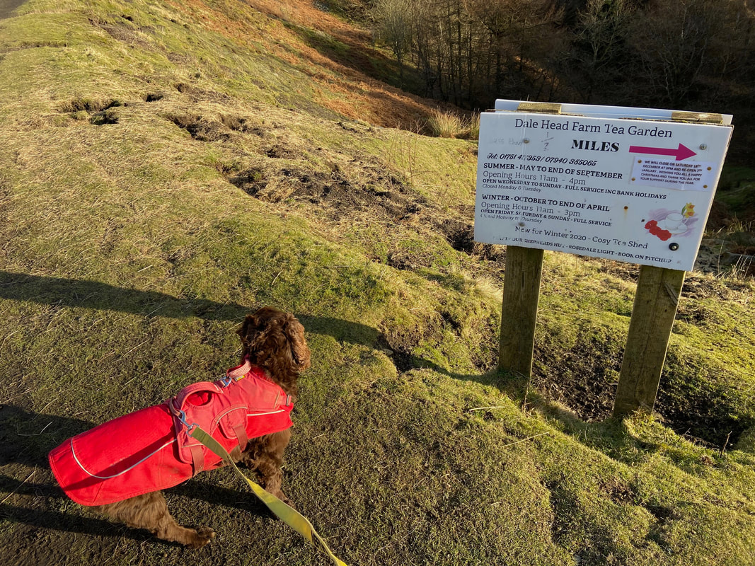
The turn off for Dale Head Farm complete with its own Tea Garden. Not ones to pass up the chance of Tea & Cake, we gave it a miss today as it was 1/2 a mile downhill to the farm plus the same distance uphill back to here - plus it could be shut! The turn off for the Tea Garden is at Grid Reference SE 69821 99826.
From the Dale Head turn off the trackbed continues below Nab Scar to eventually arrive at the East Mines
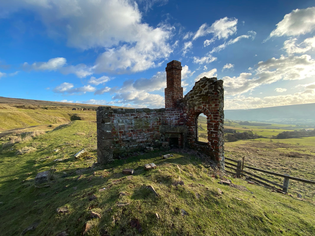
The remains of Black Houses Cottages. A pair of railway workers two-storey cottages once stood here that were coated in bitumen to improve their weatherproofing, hence the name. The main cottages are long gone and all that remains is a lean-to wash house.
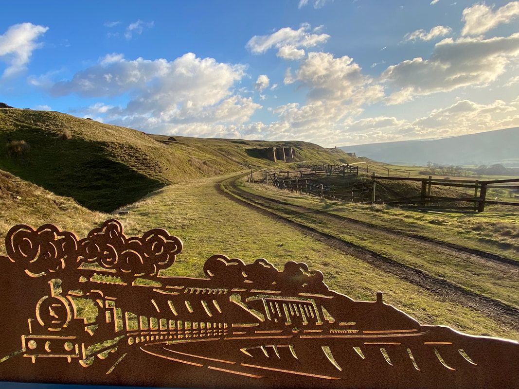
Looking to the Iron Kilns of East Mines. The metal carving in the foreground adorns the information boards that are dotted around the abandoned mine workings and shows how a train would have looked making its way from the mine to Blakey Junction.
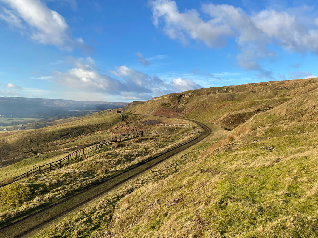
Looking back to Rosedale Head & Black Houses Cottages. The scars of mining are clearly evident as we look down from above the trackbed.
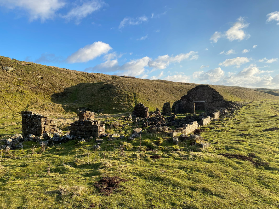
The workshops at High Barings with the ruined cottages over to the right
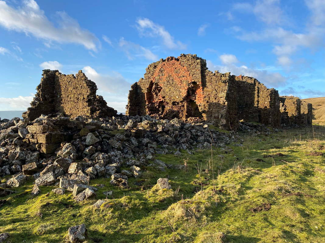
High Barings Cottages. The cottages and workshops were built in the mid 1860s for the miners at Rosedale East Mine. Life must have been very hard for the families that lived here even in the Summer, never mind the Winter. Although the mine itself continued operating until the miners strike in 1926 it appears the cottages were abandoned sometime in the 1890s.
Another look at the ruins of High Barings Workshops, this time from the eastern side
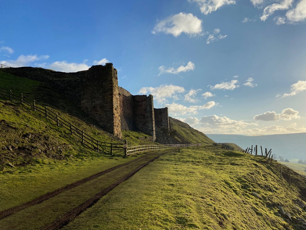
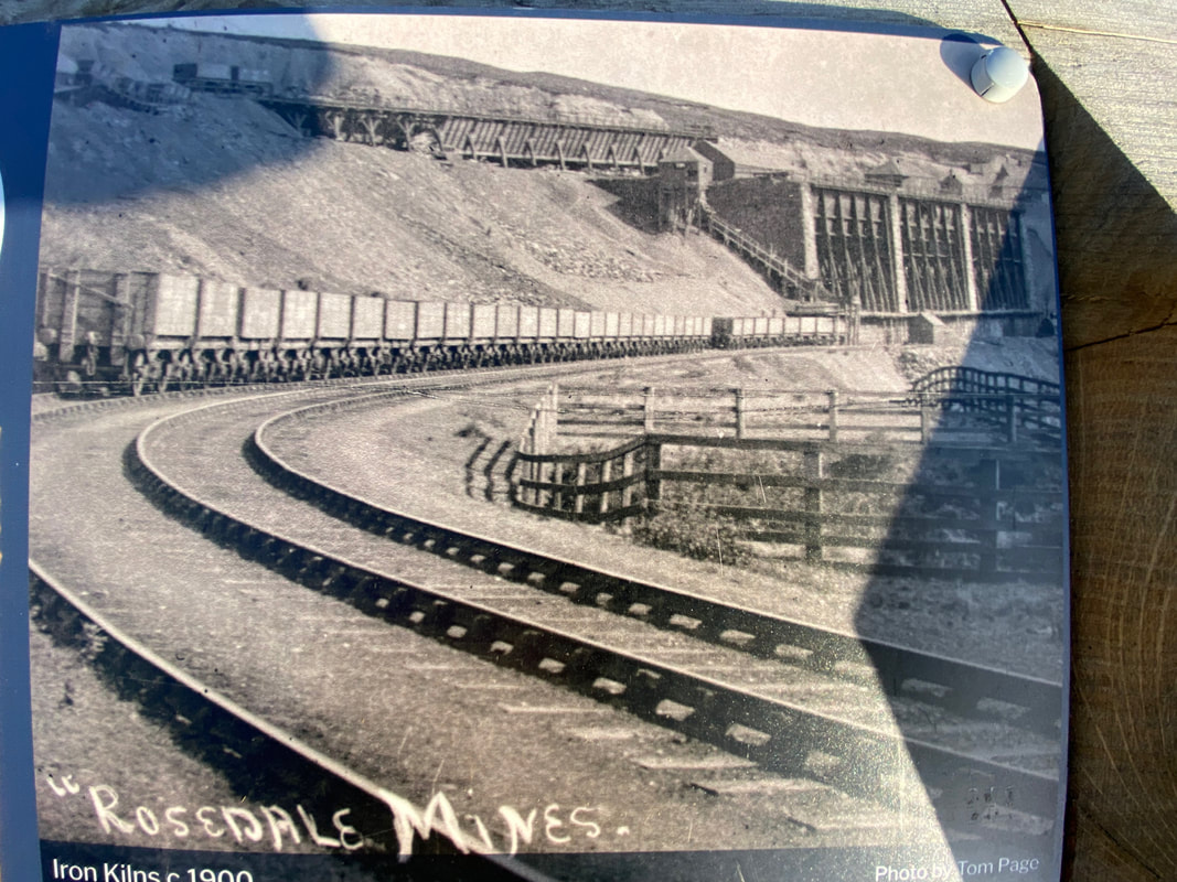
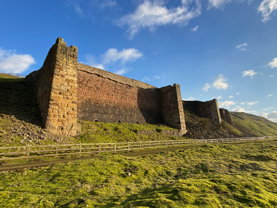
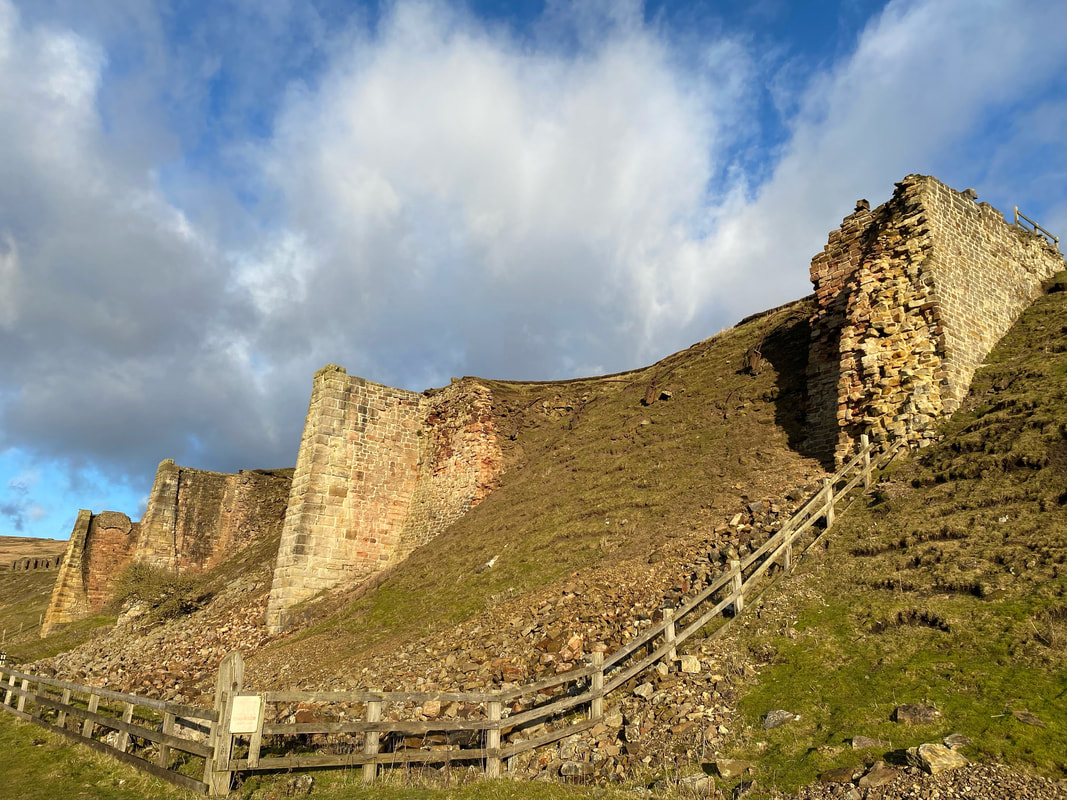
The huge Iron Kilns at East Mine. These huge stone piers are the remains of the three kilns which once incorporated iron fronts.
A photograph of the Iron Kilns and railway from around 1900 with the iron fronts on the kilns clearly visible
The surviving remains of the Iron Kilns consist of three compartments lined with firebricks. This was a unique design although roasting or ‘calcining’ in this way was crude and wasteful. The Stone Kilns a few hundred metres to the south, with 16 arched chambers, was a more conventional building but eventually ironstone was processed more efficiently at the blast furnace locations.
Another view of the Iron Kilns, this time from the south
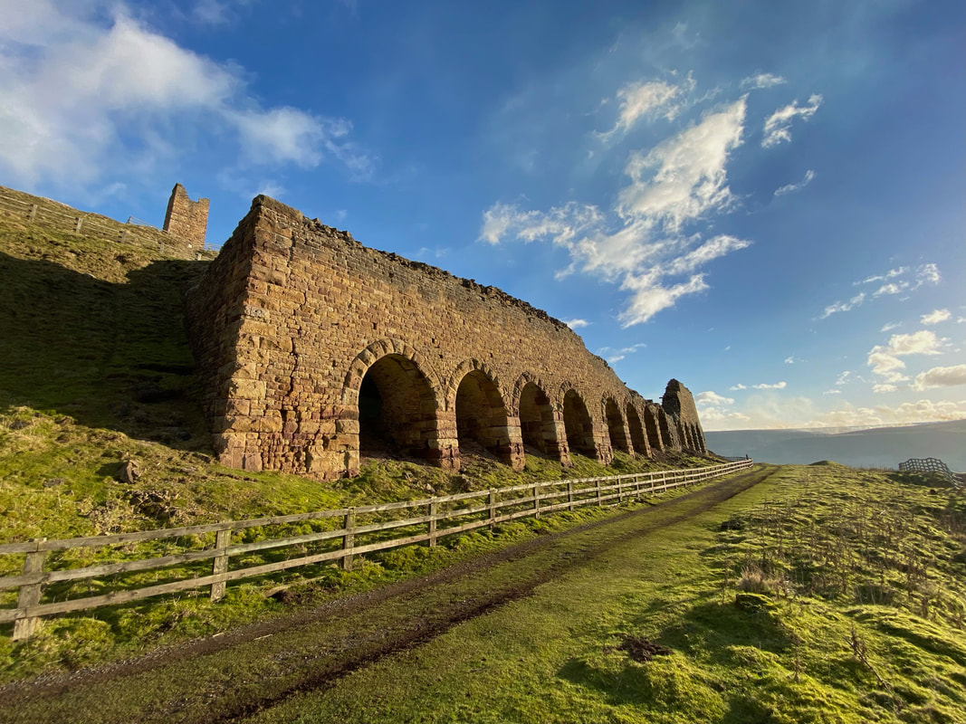
The East Mine Stone Kilns
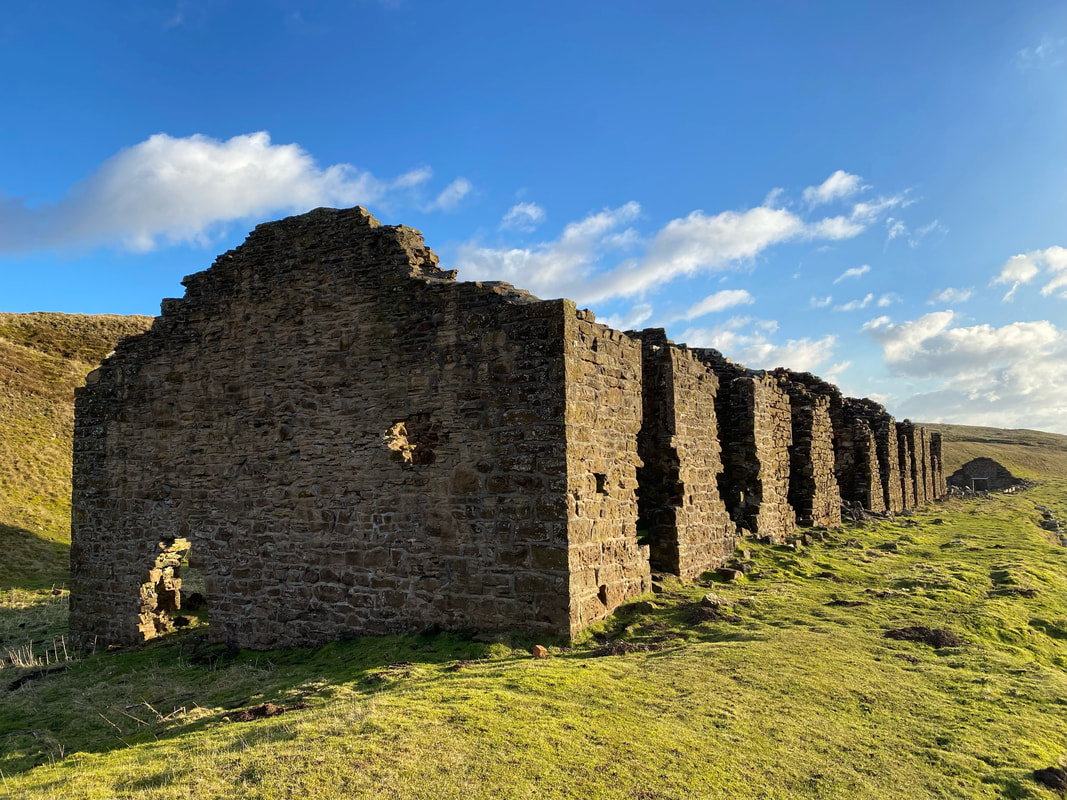
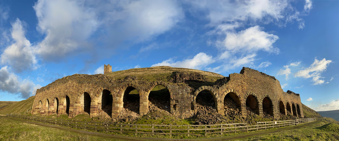
The Stone Kilns are a couple of hundred metres south of the Iron Kilns. The ironstone would be tipped into the kilns from above. After the roasting (calcining) process, the workers would remove the hot stone from the kilns using long and extremely heavy metal rakes. The stone was then raked into metal wagons for onward transportation via the railway to the blast furnaces on Teesside. This was hard and gruelling work and was by far the most dirtiest & unpleasant job on site.
The Stone Kilns are a couple of hundred metres south of the Iron Kilns. The ironstone would be tipped into the kilns from above. After the roasting (calcining) process, the workers would remove the hot stone from the kilns using long and extremely heavy metal rakes. The stone was then raked into metal wagons for onward transportation via the railway to the blast furnaces on Teesside. This was hard and gruelling work and was by far the most dirtiest & unpleasant job on site.
A panoramic view of the 16 arches of the East Mine Stone Kilns
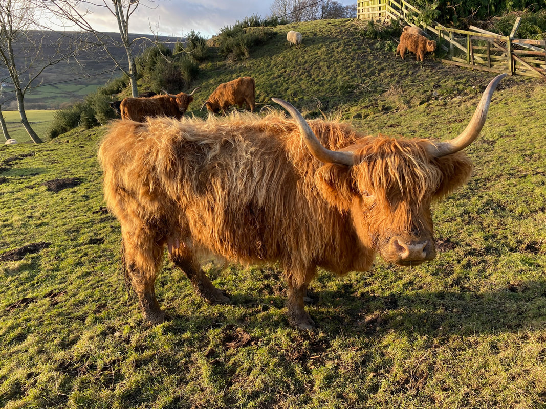
Near Swine Stye Hill we came across a herd of Highland Cattle one of whom could not resist posing for us
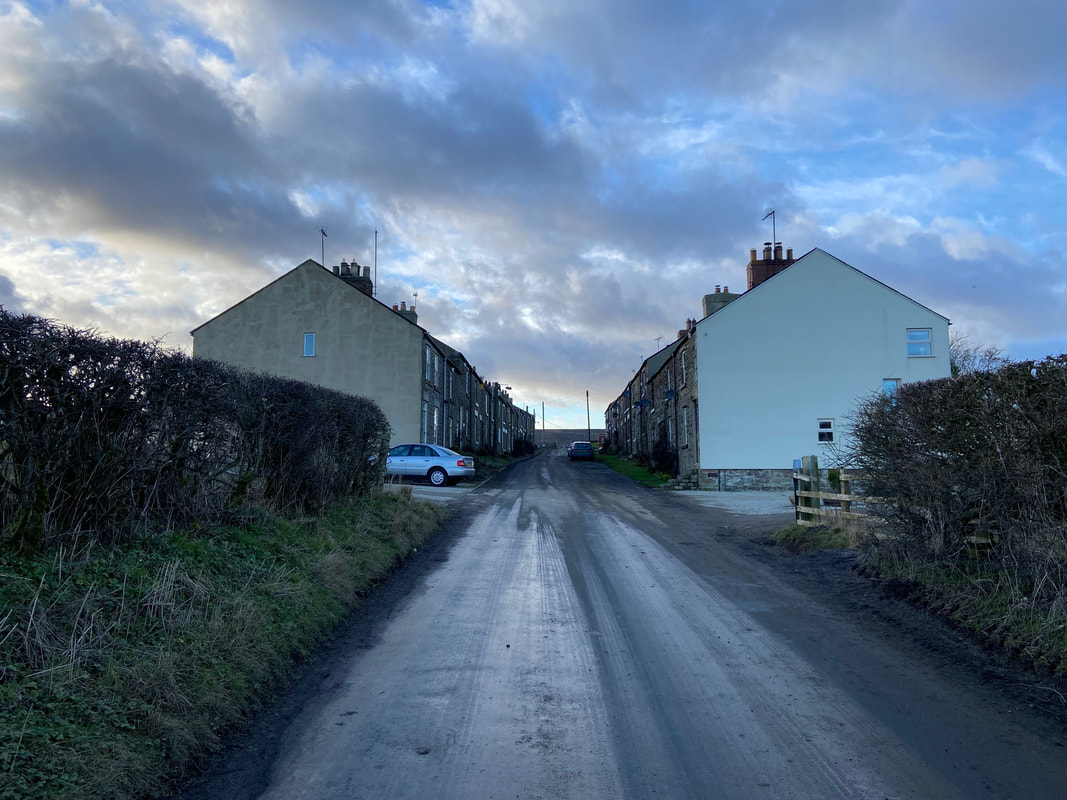
The small development at Hill Cottages, Swine Stye Hill
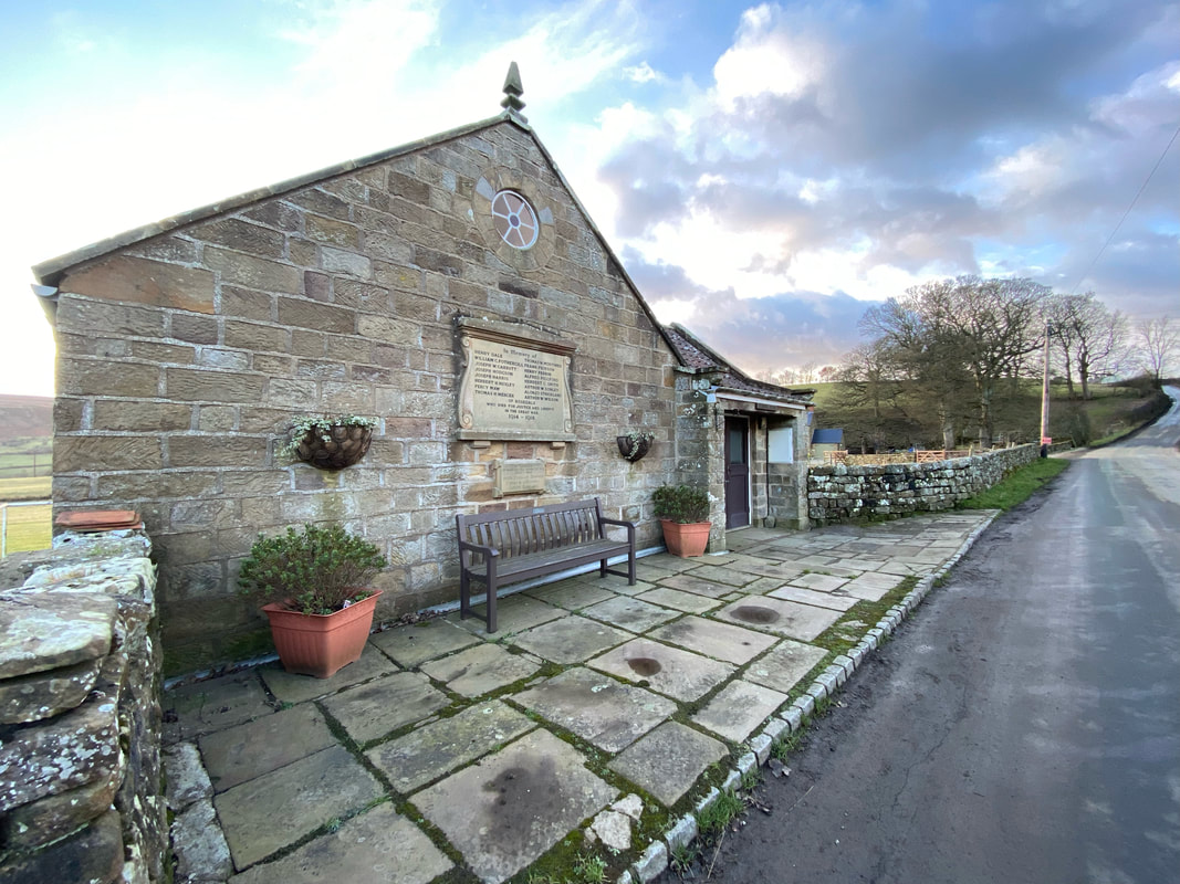
Rosedale Hall & War Memorial
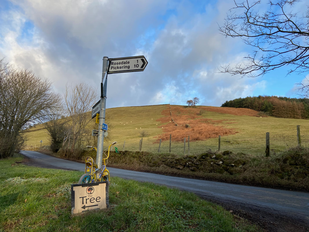
Not far to go now as we approach Rosedale. "The Tree" is a nearby relaxation retreat.
Giggles childishly
The appropriately named "Hill Plantation"
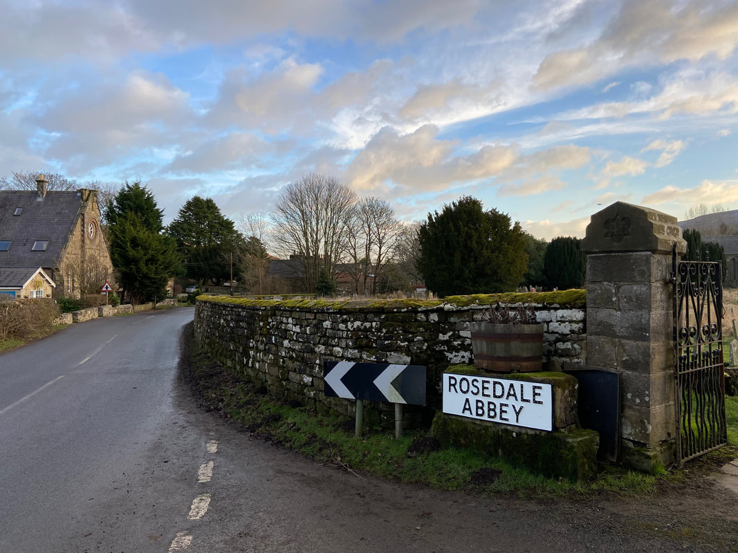
Arriving back in Rosedale Abbey after a truly beautiful walk
