Scafell Pike & Lingmell - Friday 12 May 2023
Route
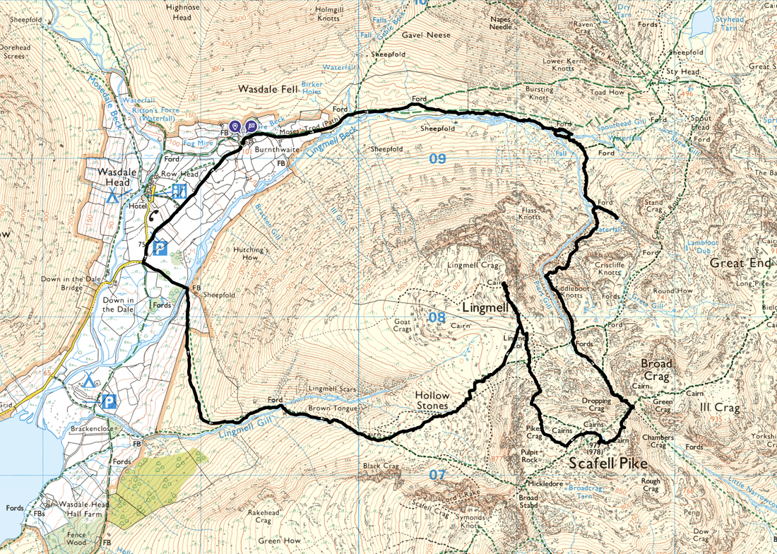
Burnthwaite Farm - Moses Trod - Emerald Pool - Piers Gill - Broad Crag Col - Scafell Pike - Lingmell Col - Lingmell - Hollow Stones - Brown Tongue - Lingmell Gill - Wasdale Head - St Olaf's Church - Burnthwaite Farm
Parking
We started directly from our accommodation at Burnthwaite Farm, however the walk can commence from Wasdale Head where there is plenty of parking on the green. The Grid Reference is NY 18670 08490 and the nearest postcode is CA20 1EX.
Mileage
8.3 miles
Terrain
Good mountain paths throughout. In poor visibility be aware of steep drops whilst ascending via Piers Gill. Additionally, be careful when approaching the edges of the gill in order to peer in to the ravine as some of the edges are eroded therefore take the utmost care. The ascent to Broad Crag Col is steep and over loose scree therefore care needs to be taken.
Weather
Sunny and mild with light breezes. The visibility was excellent for most of the day.
Time Taken
6hrs 30mins
Total Ascent
3418ft (1042m)
Wainwrights
2
Map
OL6 - The English Lakes (South Western Area)
Walkers
Dave, Angie & Fudge
|
GPX File
|
| ||
If the above GPX file fails to download or presents itself as an XML file once downloaded then please feel free to contact me and I will send you the GPX file via e-mail.
Route Map
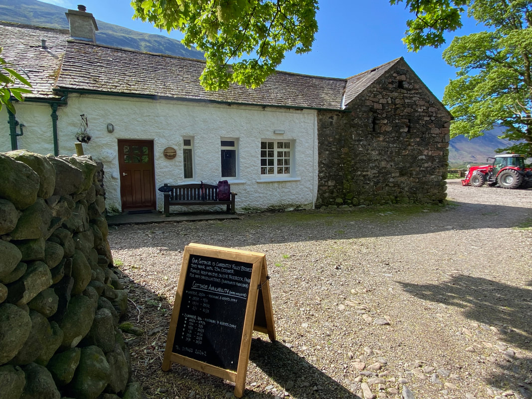
We started the walk today from our holiday cottage accommodation at Burnthwaite Farm. The farm also does a very reasonable charge for B&B and a link to their website is here
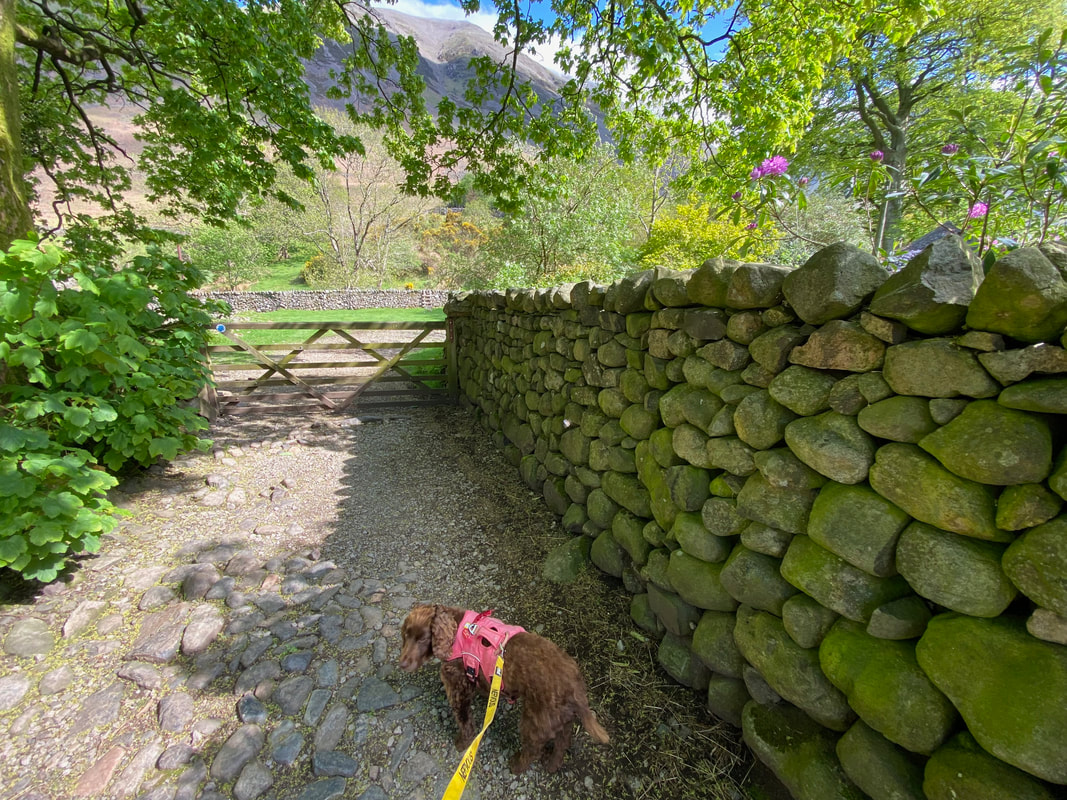
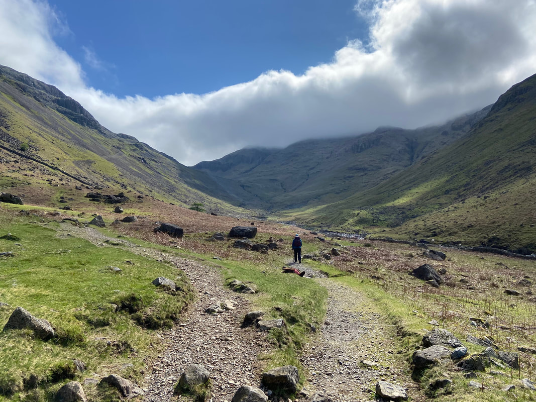
From the door of the cottage a path leads to a gate - we turned right on to Moses Trod and headed towards Sty Head.
Moses Trod (marked on the OS Map as such) is named after Moses Rigg, who was a legendary slate worker. According to the stories, Moses established the route as the shortest way to carry slate from the Honister mines over to Wasdale and thence down the valley road to the port at Ravenglass. However, his sled carried some extra cargo other than slate as he was known to be a notorious smuggler of Wadd (Graphite). According to Wainwright, there is not a shred of historical evidence that Rigg ever existed, but he is still inclined to believe in him. Not content with just smuggling Wadd, he was supposed to have distilled his own whisky in a hideout, high up on Gable Crag. Apparently, the bog water from Fleetwith Pike made the best moonshine.
Moses Trod (marked on the OS Map as such) is named after Moses Rigg, who was a legendary slate worker. According to the stories, Moses established the route as the shortest way to carry slate from the Honister mines over to Wasdale and thence down the valley road to the port at Ravenglass. However, his sled carried some extra cargo other than slate as he was known to be a notorious smuggler of Wadd (Graphite). According to Wainwright, there is not a shred of historical evidence that Rigg ever existed, but he is still inclined to believe in him. Not content with just smuggling Wadd, he was supposed to have distilled his own whisky in a hideout, high up on Gable Crag. Apparently, the bog water from Fleetwith Pike made the best moonshine.
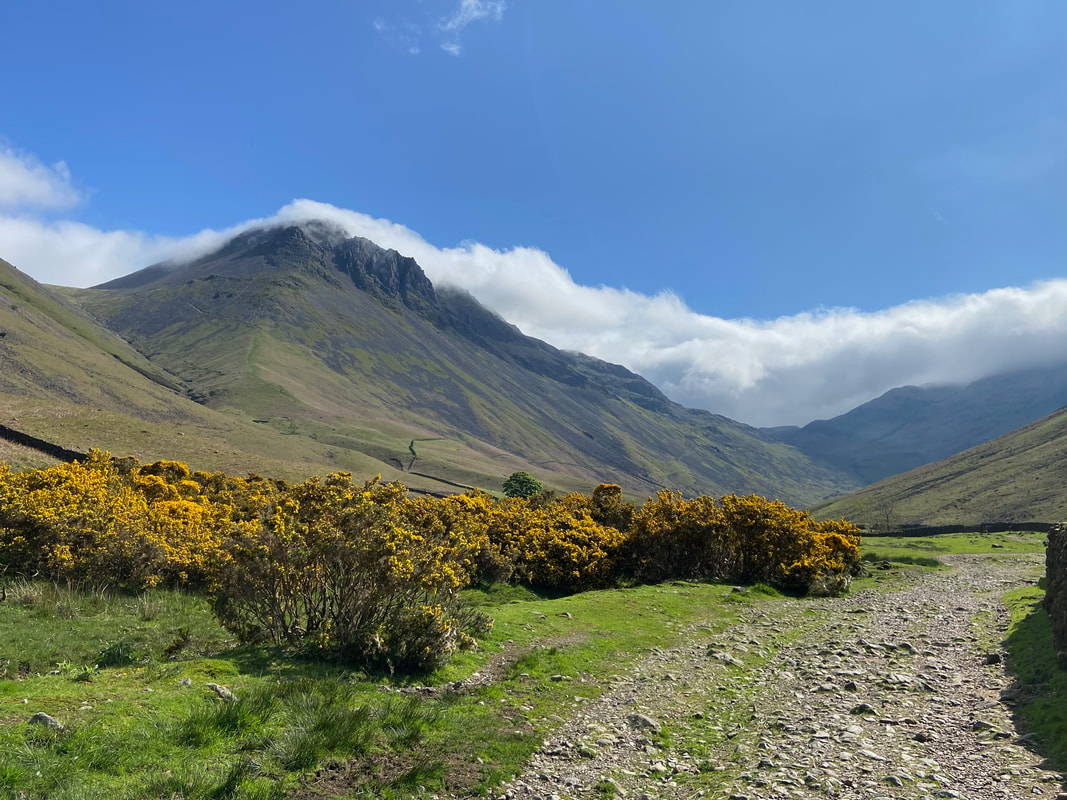
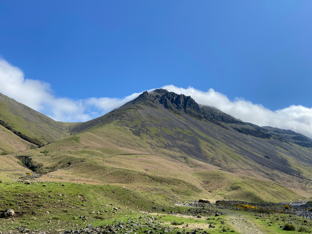
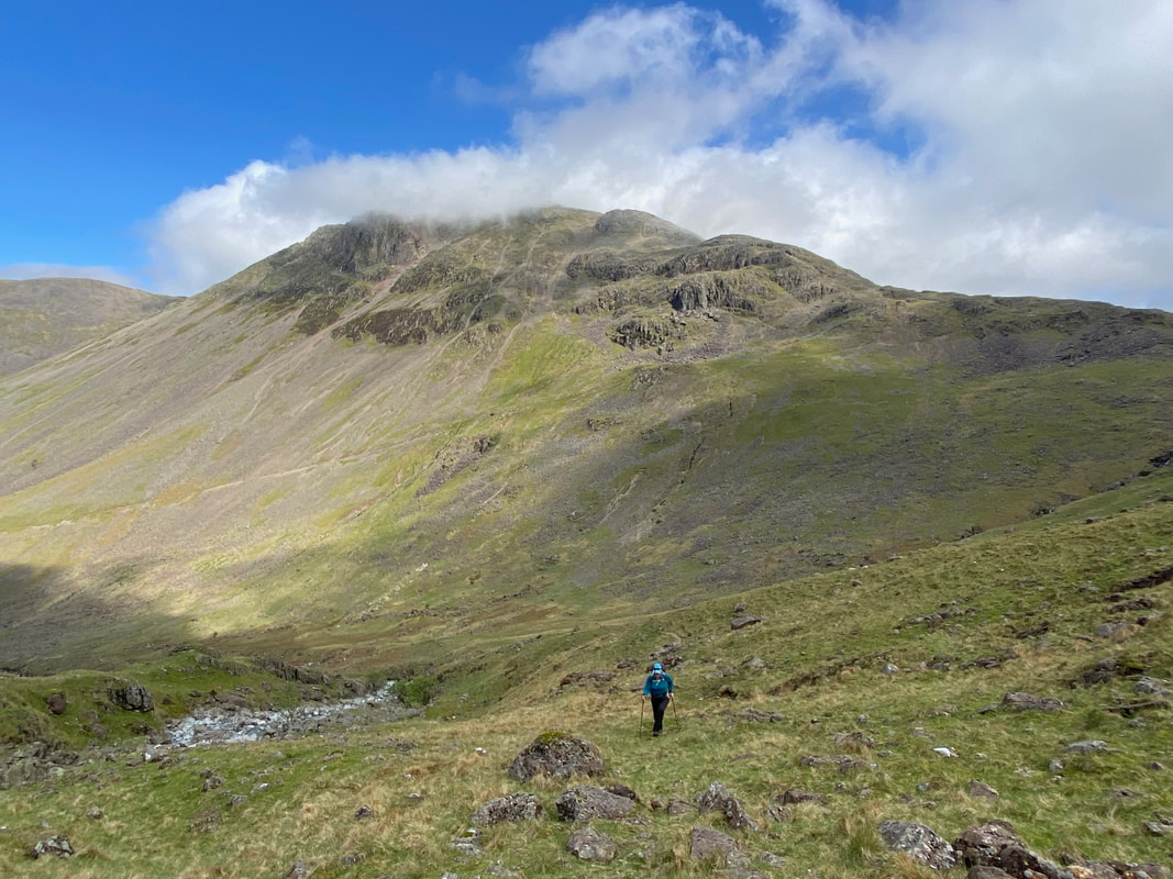
Great Gable from Moses Trod with Sty Head centre right.
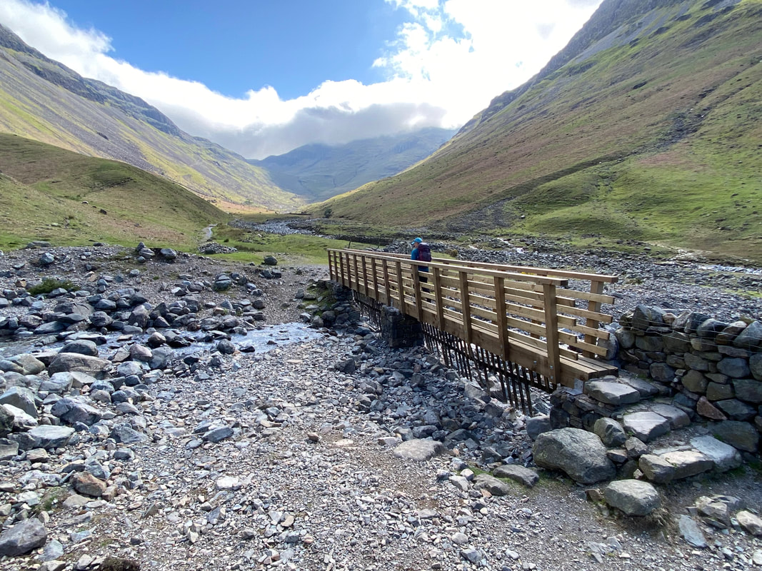
Approaching the bridge over Gable Beck with Great Gable and The Napes now almost clear of its wispy, cloudy hat
Looking across to Kirk Fell
Crossing Gable Beck with Lingmell Beck ahead
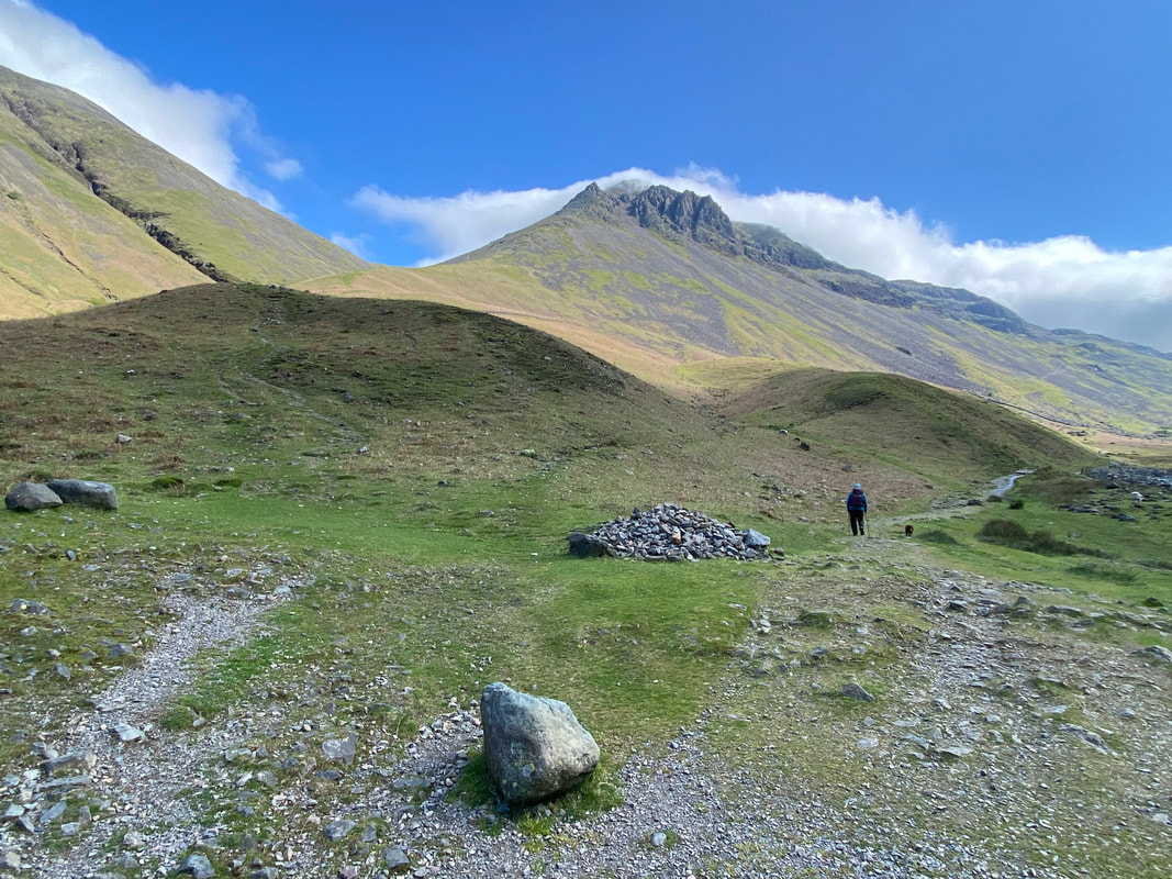
Just the other side of the bridge is a large cairn marking the path split - turn left for Gavel Neese, Beck Head & Great Gable and right for Sty Head & Piers Gill.
A little further on the path splits once more at Grid Reference NY 20394 09335. The path to the left heads up to Sty Head whilst the path to the right (our route) hugs Lingmell Beck and crosses it via a ford further up the valley.
Looking up to The Napes on Great Gable
I wonder why we love walking in Wasdale? The mind boggles, it really does.
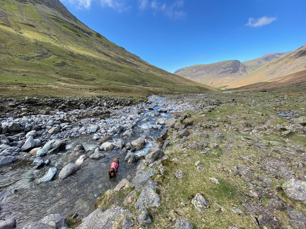
Fudge having an arse about in Lingmell Beck with Yewbarrow & Red Pike to the rear
The main Emerald Pool at Lingmell Beck - so called because of the colour of the water on a lovely summer's evening when it takes on a lovely emerald colour - to be honest it is the best time to see it. The pool is at the confluence of Lingmell Beck & Spouthead Gill and is described by Wainwright in Book Four of his Pictorial Guides as "a beautiful watersmeet" (Lingmell 6).
The Emerald Pool (Click Play to view)
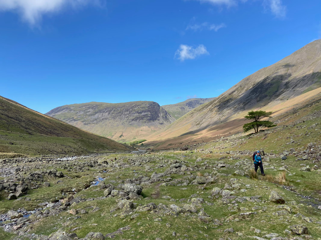
The view back to Wasdale Head, Yewbarrow & Red Pike
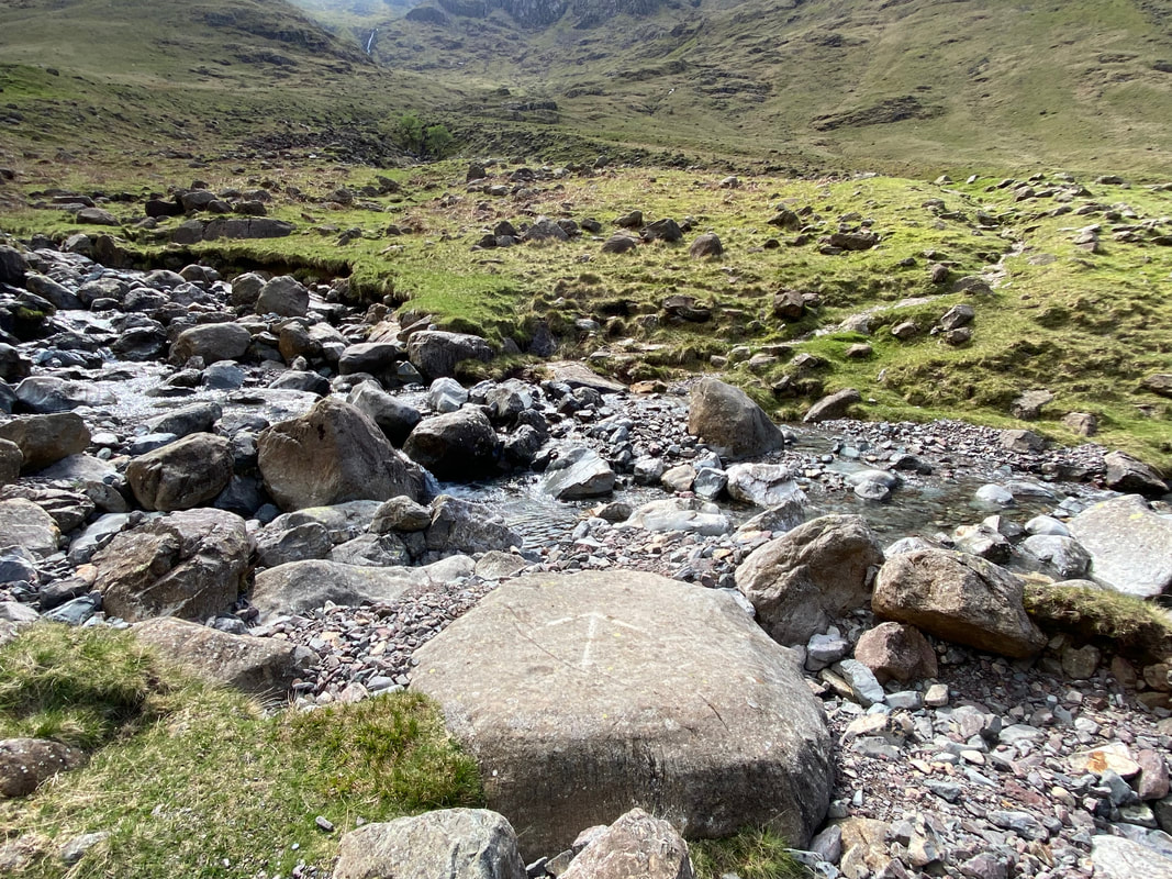
At Grid Reference NY 21245 09179 Spouthead Gill is crossed - some kind soul has drawn an arrow to show the crossing point
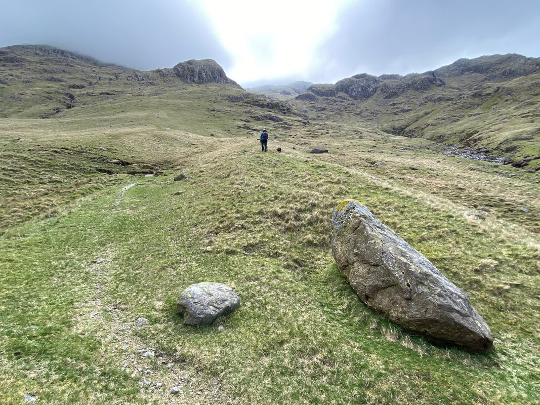
From the crossing point over Spouthead Gill the path makes its way up to Grid Reference NY 21405 09081 to reach a large stone. Greta Gill can be seen on the left hand side of shot with Piers Gill further up and the path to Sty Head is to the left. We would be heading up to the left of where Angie is and then sweeping around to the right to walk above Piers Gill.
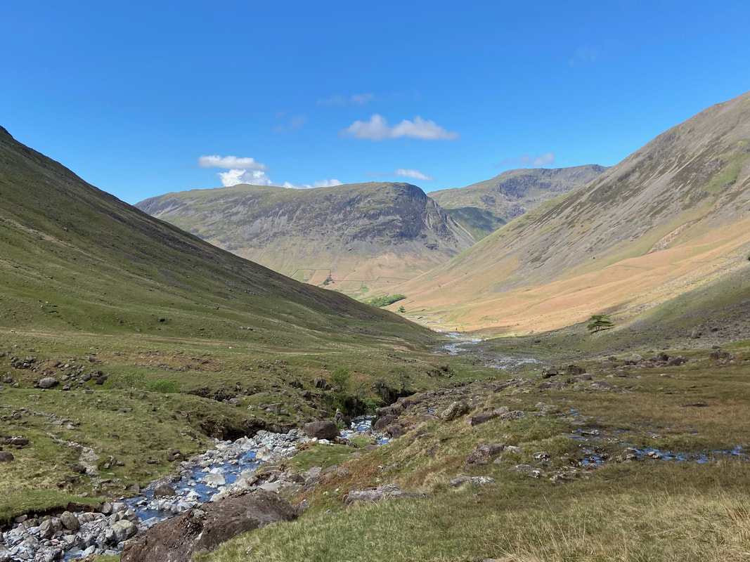
We were now walking alongside Greta Gill with a fantastic view of Great Gable to the rear. The path between Sty Head & Wasdale can be seen heading along the lower flank.
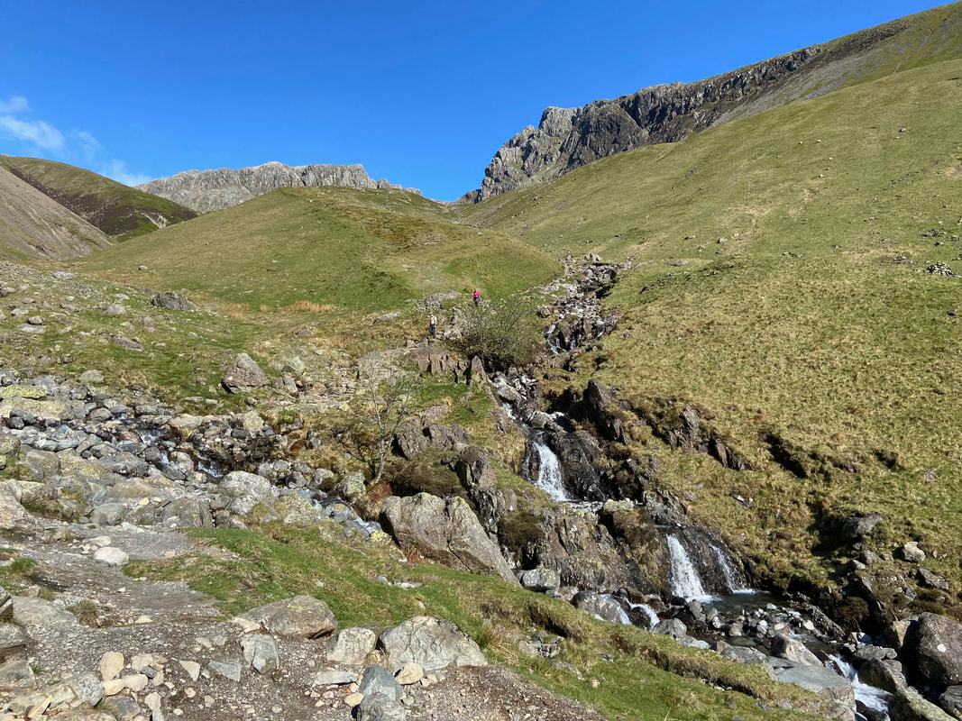
The lower reaches of Greta Gill
Looking south east up Greta Gill to Stand Crag & the Corridor Route
The crossing point over the ford of Greta Gill looking to Criscliffe Knotts
The ford over Greta Gill (Click Play to view)
The eastern face of Lingmell from the ford
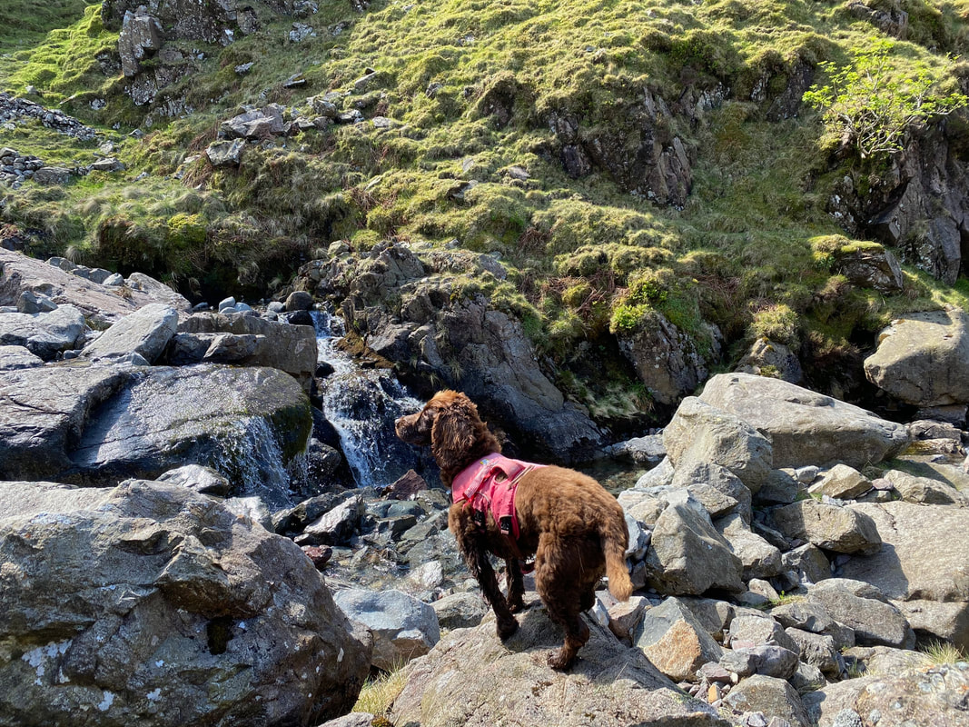
What has Fudge spotted? Shall we go and find out?
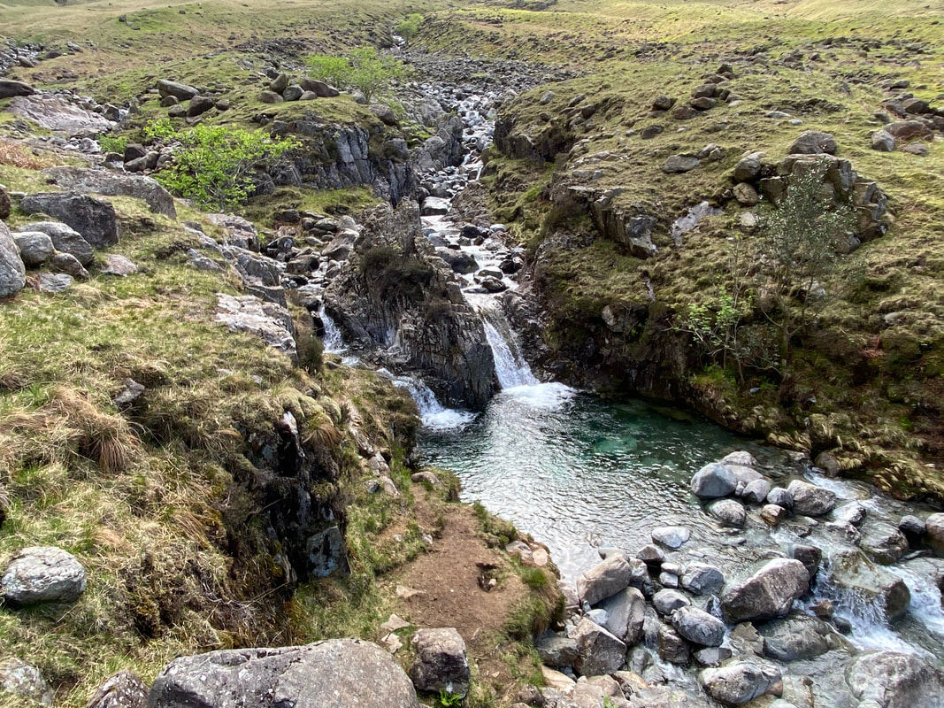
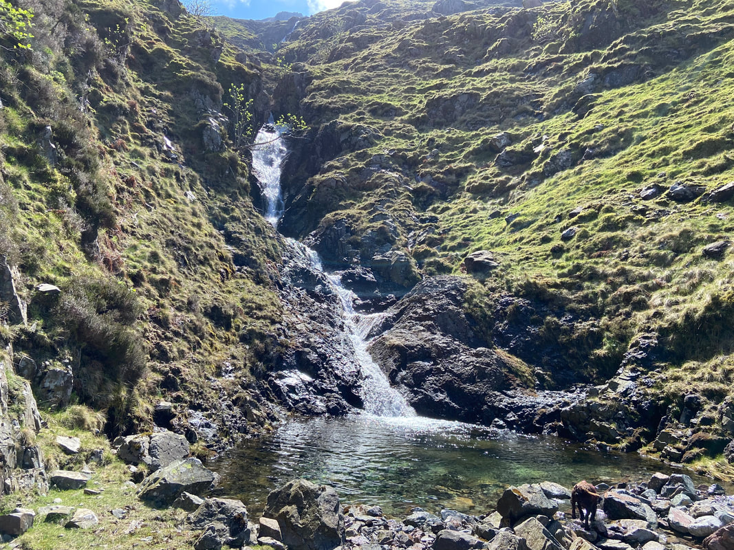
Turning left before crossing the ford leads to a waterfall with this lovely jacuzzi below it
Fudge having a bit of an arse about in the pool (Click Play to view)
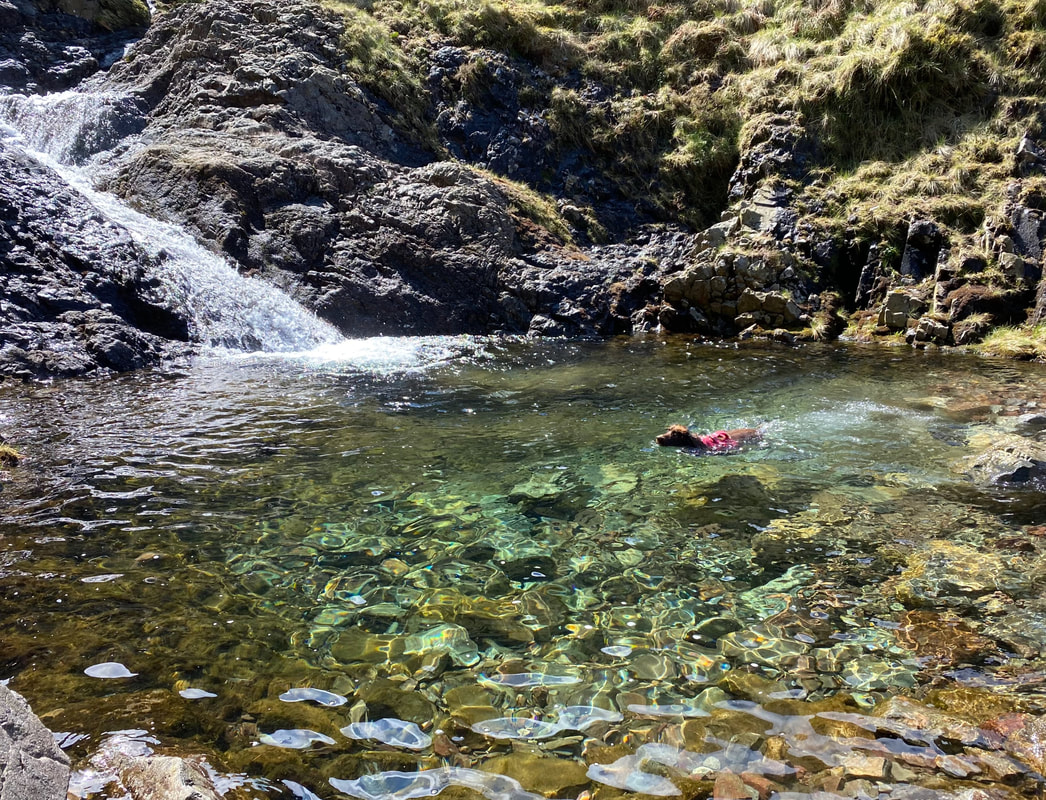
While I took some arty farty shots and videos, Fudge got a bit of doggypaddle practice in
Leaving the pool and heading back to the ford with a great view of Red Pike & Kirk Fell
Great Gable from the ford - I will never, ever get tired of this view
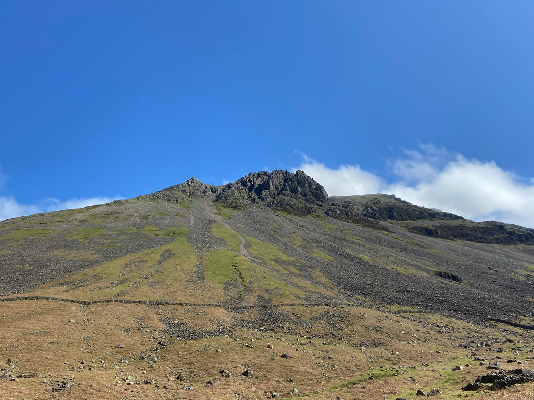
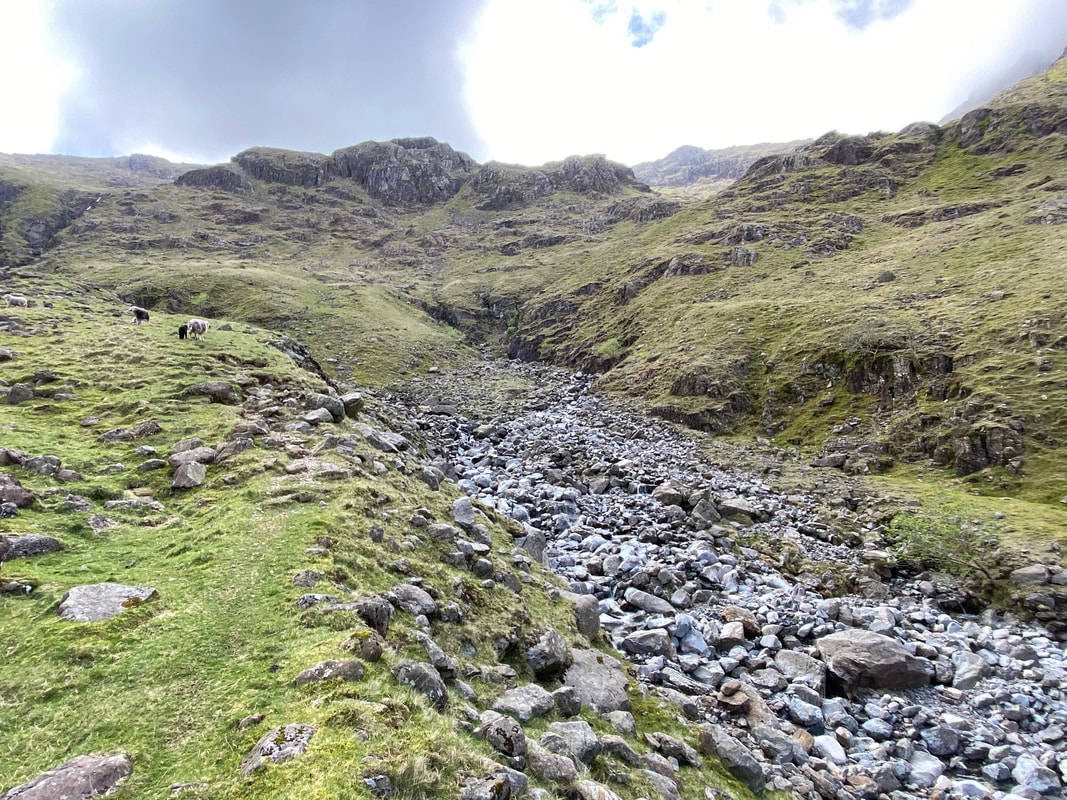
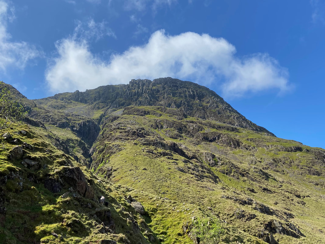
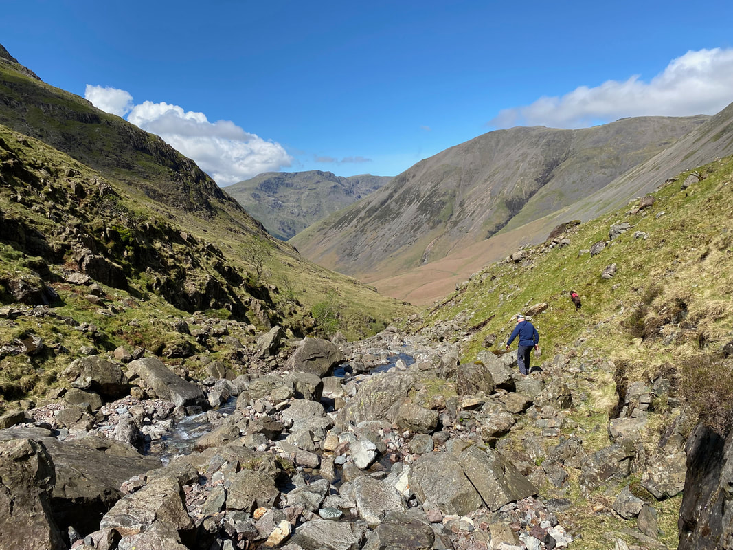
The lower reaches of Piers Gill with Lingmell towering above
The view from the lower reaches of Piers Gill (Click Play to view)
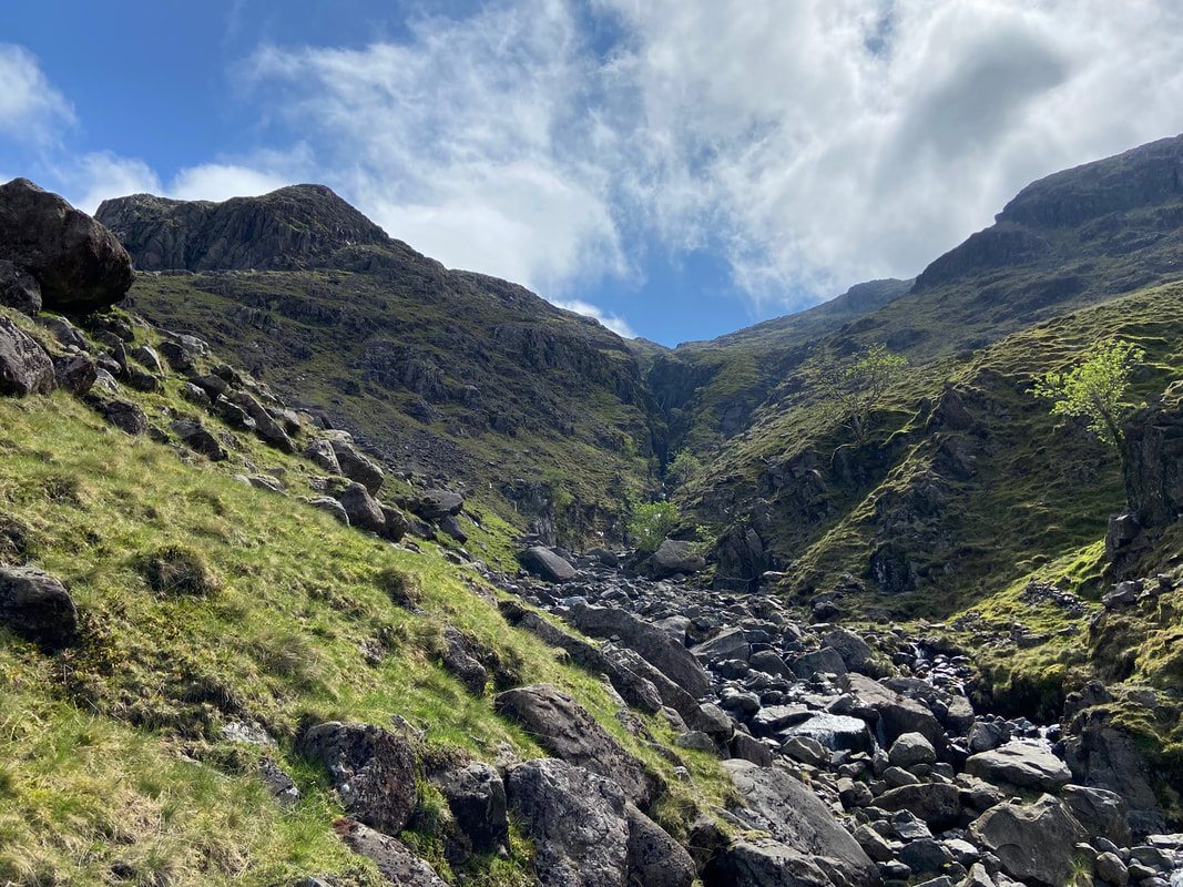
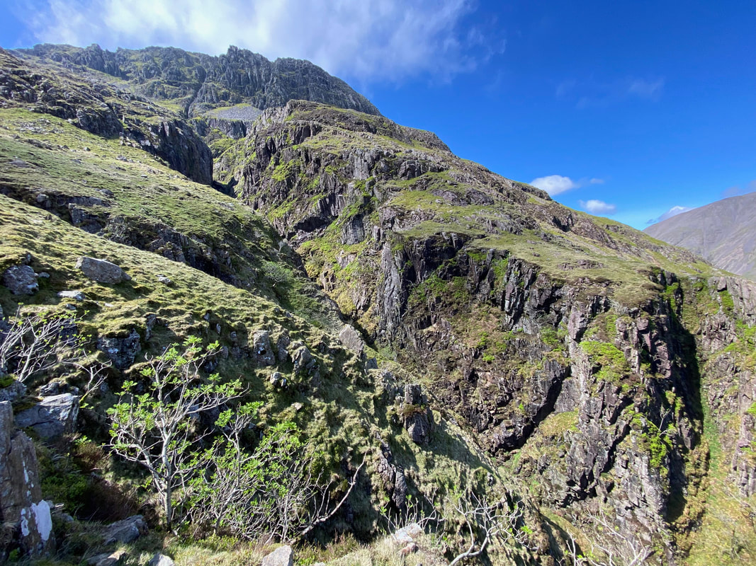
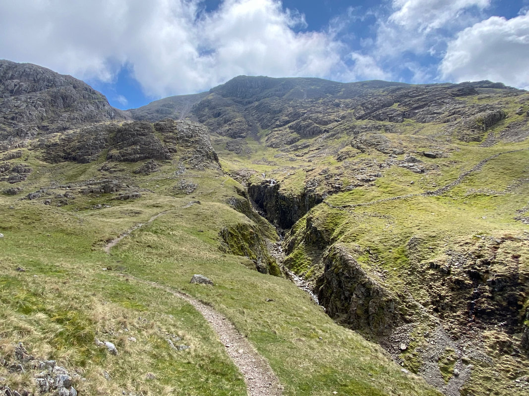
Another view of Piers Gill
Angie making her way up the route besides Piers Gill - this is about as close as the path goes to the edge of the ravine
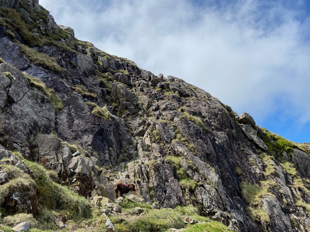
All of a sudden a 25ft ramp of rock is reached which requires a bit of hand on rock. The scrambling is not difficult and there are plenty of hand and foot holds - even in descent the way down is manageable if you simply take your time.
Angie approaches the base of the rock face - I am taking the shot from about half way up the ramp of rock. The view back to Sty Head and beyond to Blencathra in the far distance is stunning from here.
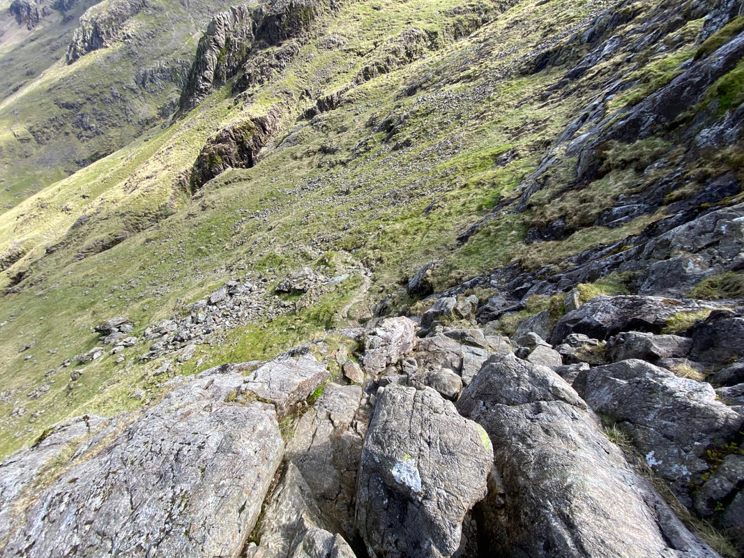
Looking down the rock face from the top of the climb
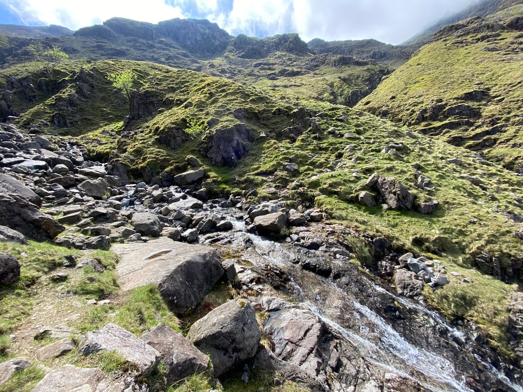
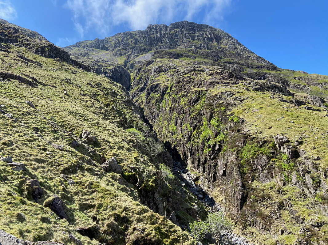
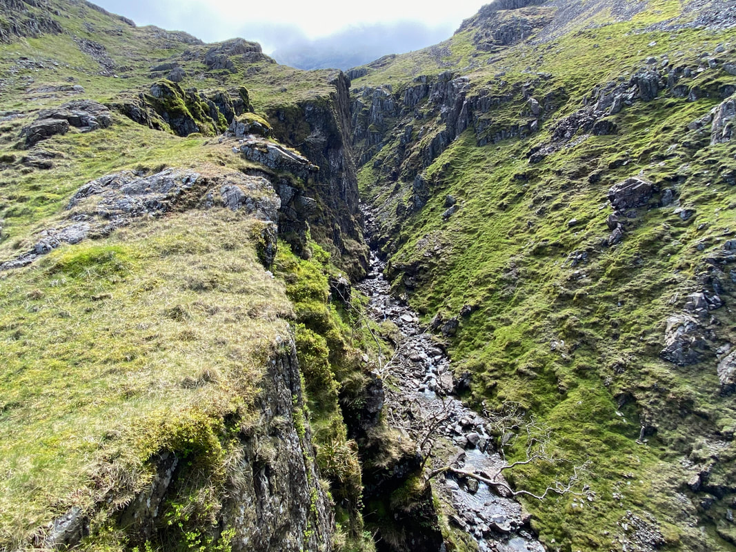
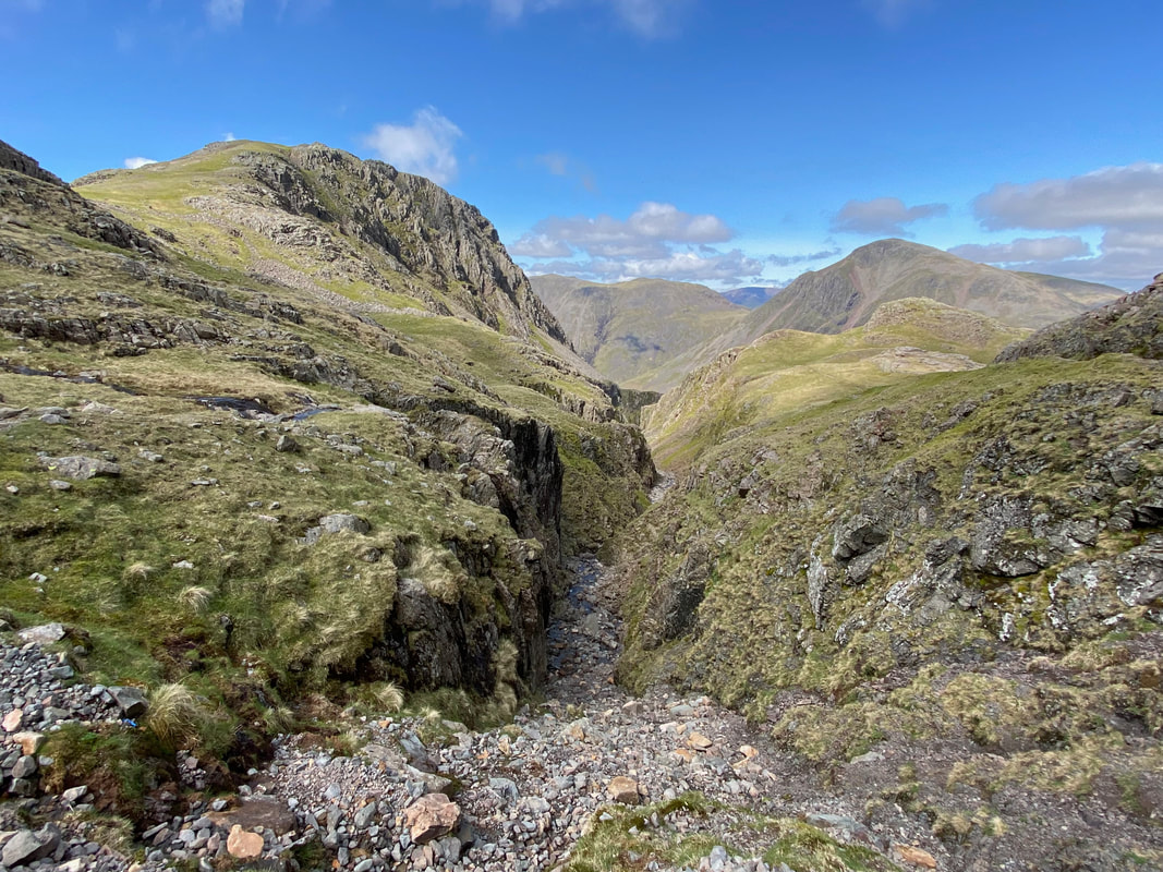
The deep chasm of Piers Gill
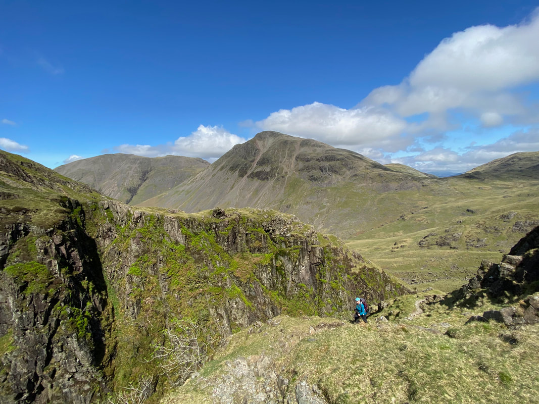
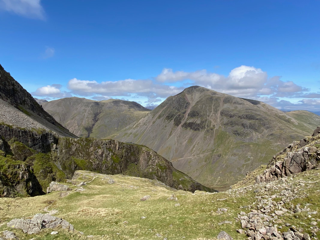
Kirk Fell & Great Gable over Piers Gill from just below Middleboot Knotts
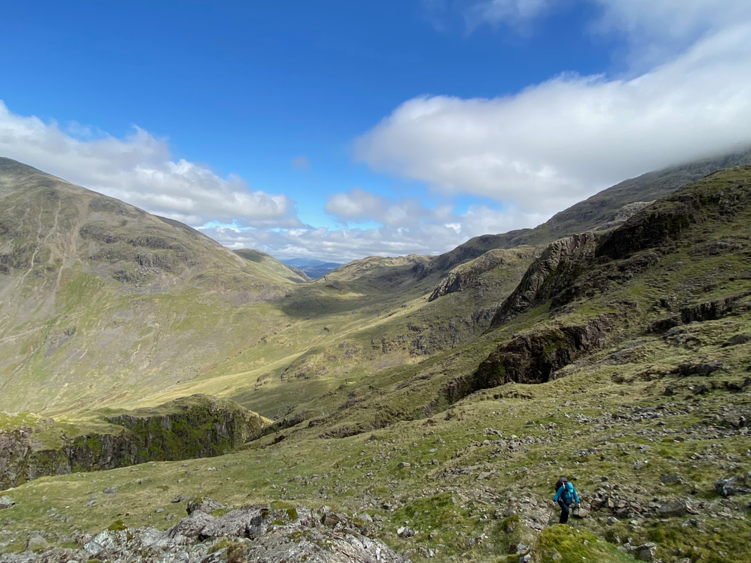
Lingmell provides a fabulous backdrop as we continue up the side of Piers Gill
The upper reaches of Piers Gill
The path joins the Corridor Route coming in from the left and crosses the head of Piers Gill which is over to the right
The head of Piers Gill
From the head of Piers Gill looking to Broad Crag col
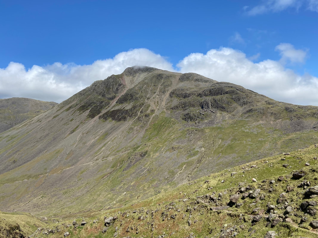
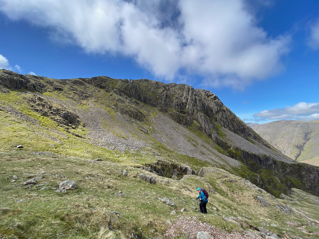
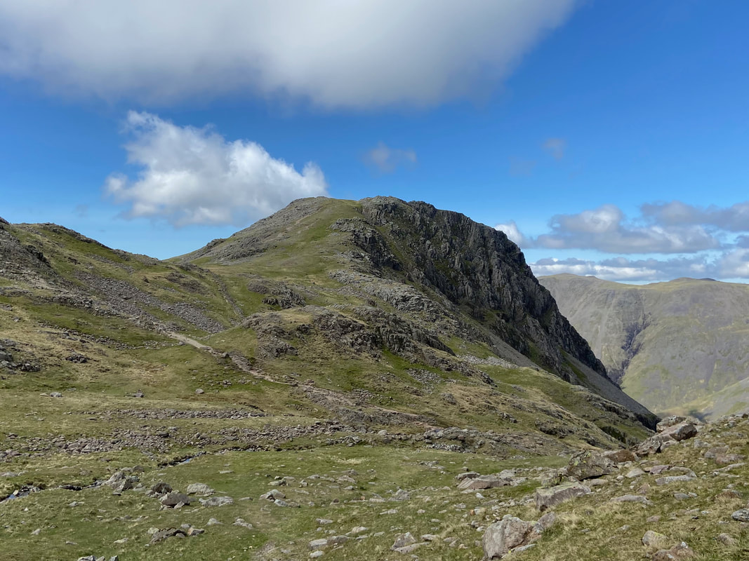
Lingmell with the path to Lingmell col below
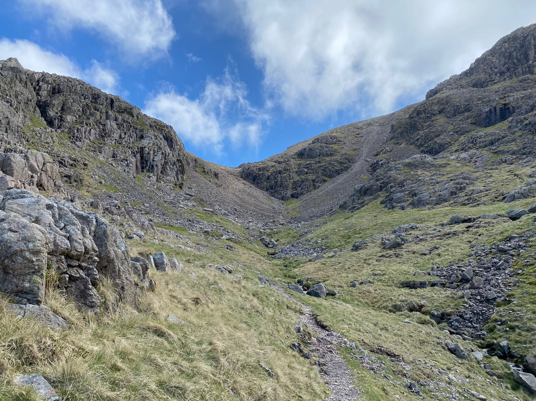
Our route of ascent would be via Broad Crag col - a path we had not used before.
Looking back to Lingmell, Kirk Fell, Middleboot Knotts & Great Gable from the start of the Broad Crag col path
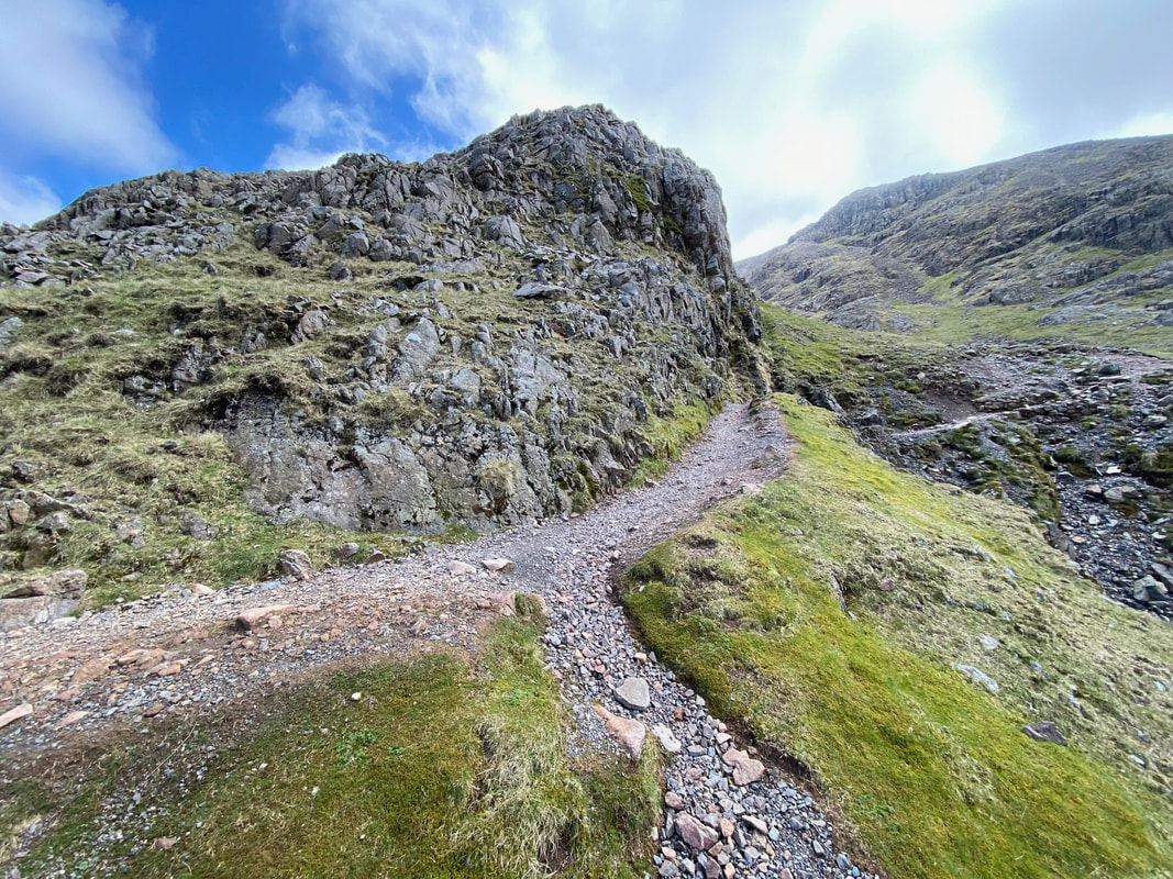
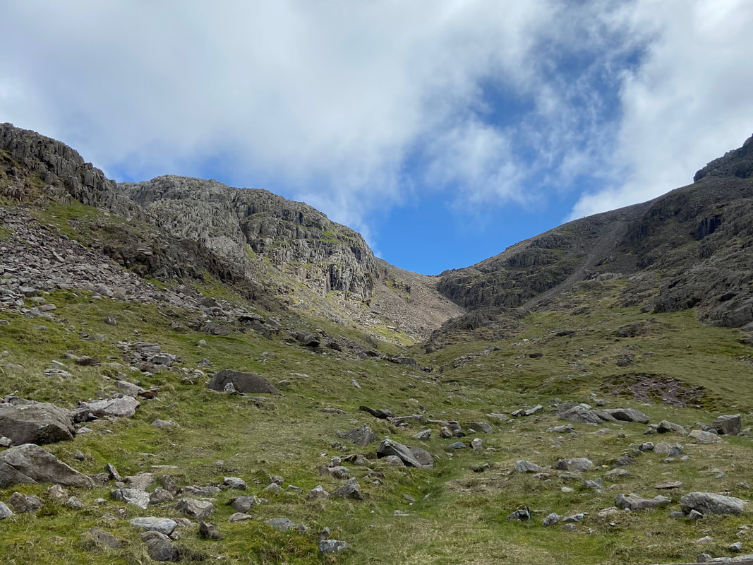
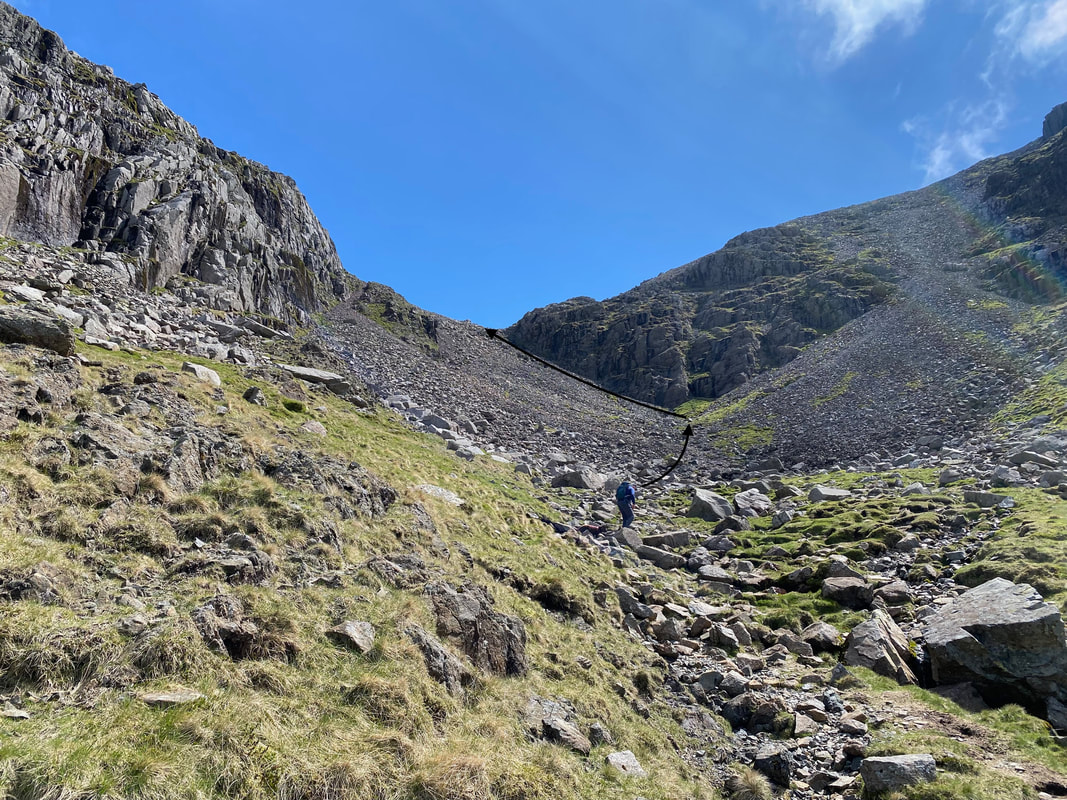
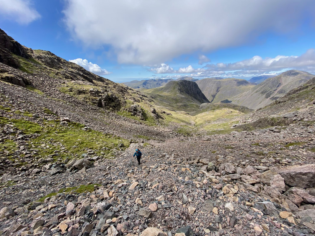
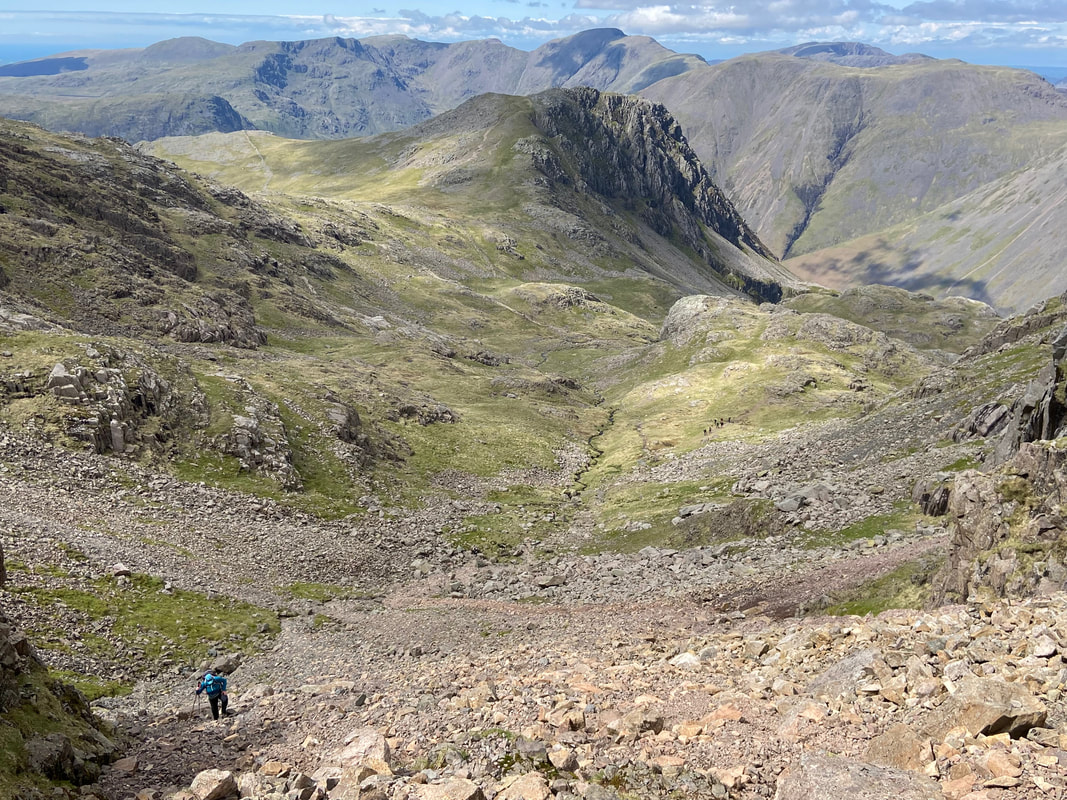
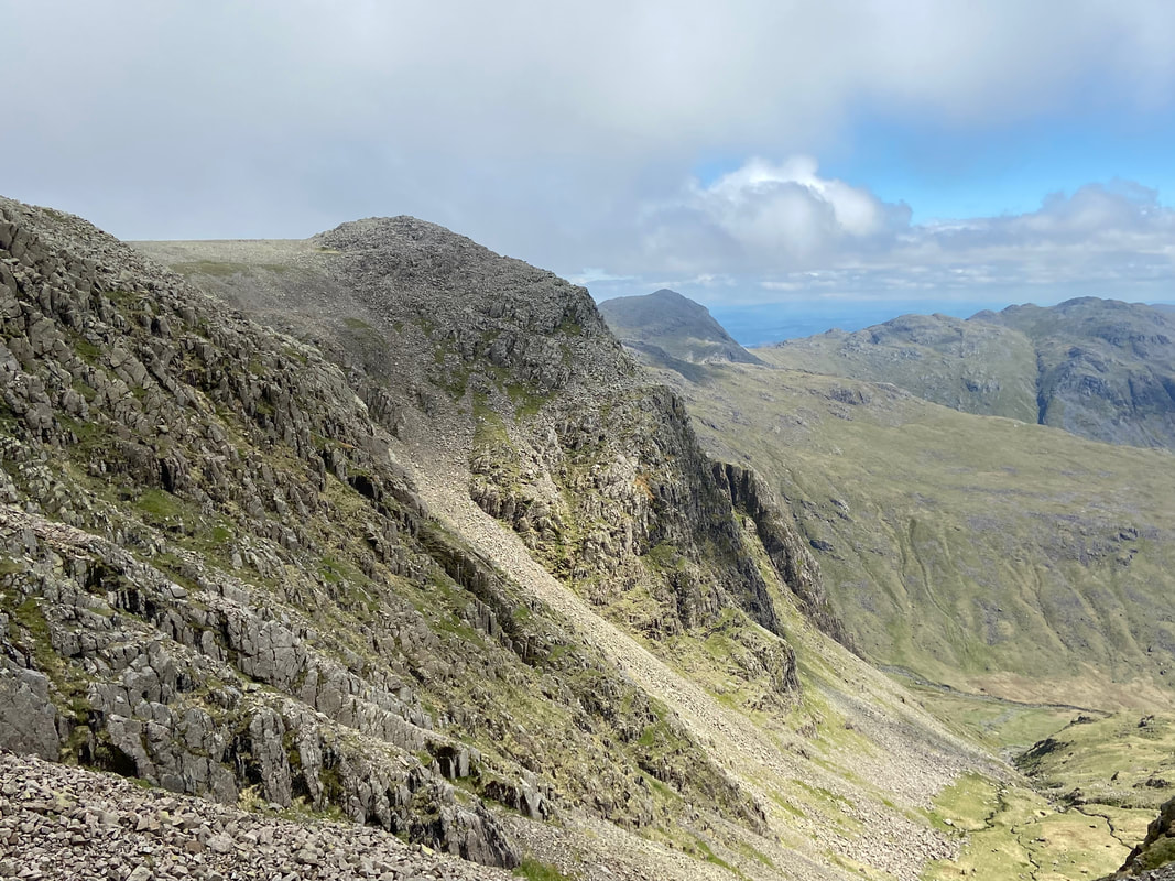
From below the col, the route is not clear until you progress further up. It looks easier to make a direct route up the left hand side below the crags however the best way is to follow the rough path as indicated by the black arrows. For future reference, we encountered people coming down by our route and it did not look like much fun. In summary, I think the best way is to climb to Broad Crag col from below as the scree makes for an uncomfortable passage down.
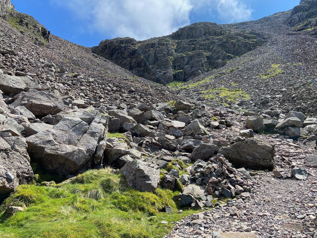
The rough path from a little further into the col - as progress is made, the route becomes more clearer
The rough scree path from above
I am almost at the top of Broad Crag col as I watch Angie's progress up the steep scree slope
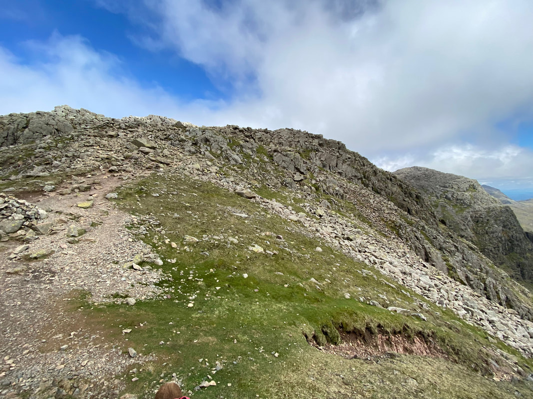
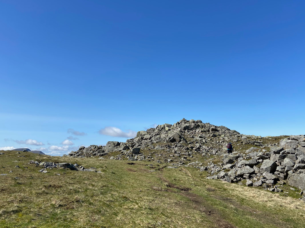
The top of Broad Crag col - the path ahead leads to Scafell Pike
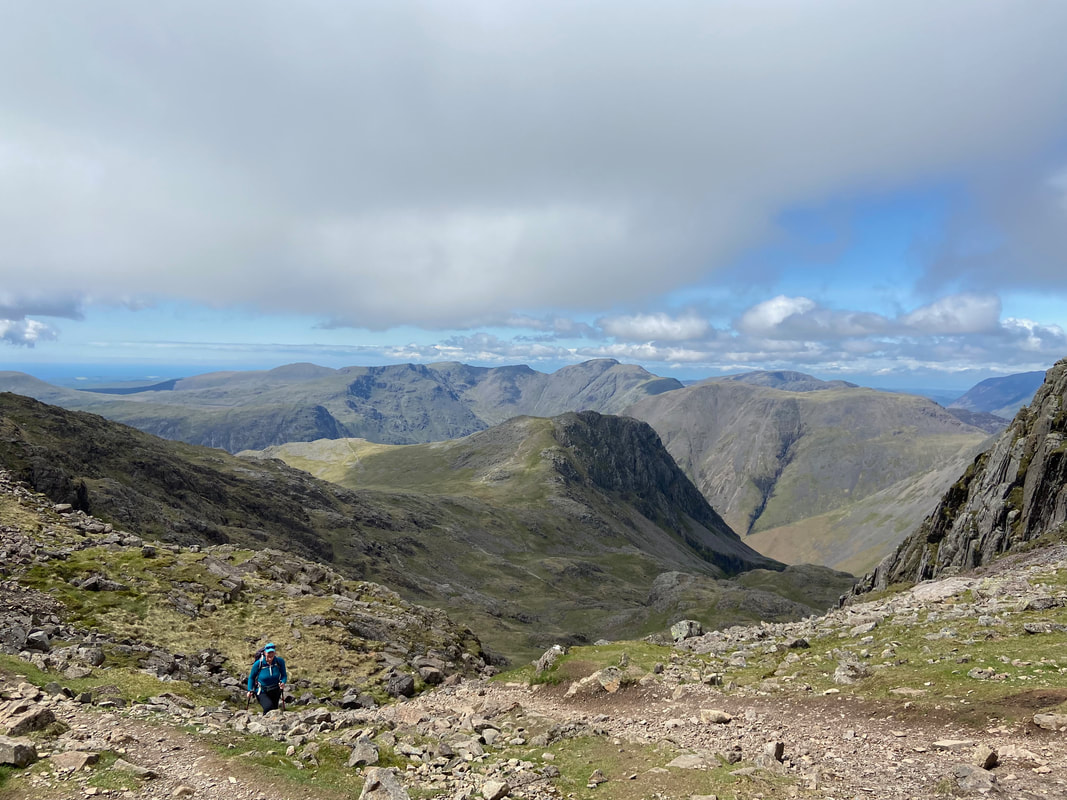
Angie pops up to Broad Crag col - hard work but a lovely way up and what a view
Looking into Little Narrowcove with Ill Crag over to the left and Bowfell & Crinkle Crags to the rear
Broad Crag, Ill Crag, Bowfell & Crinkle Crags from above the col
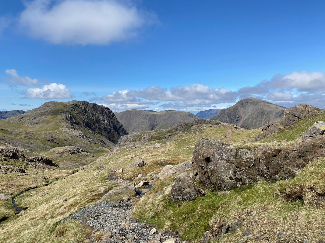
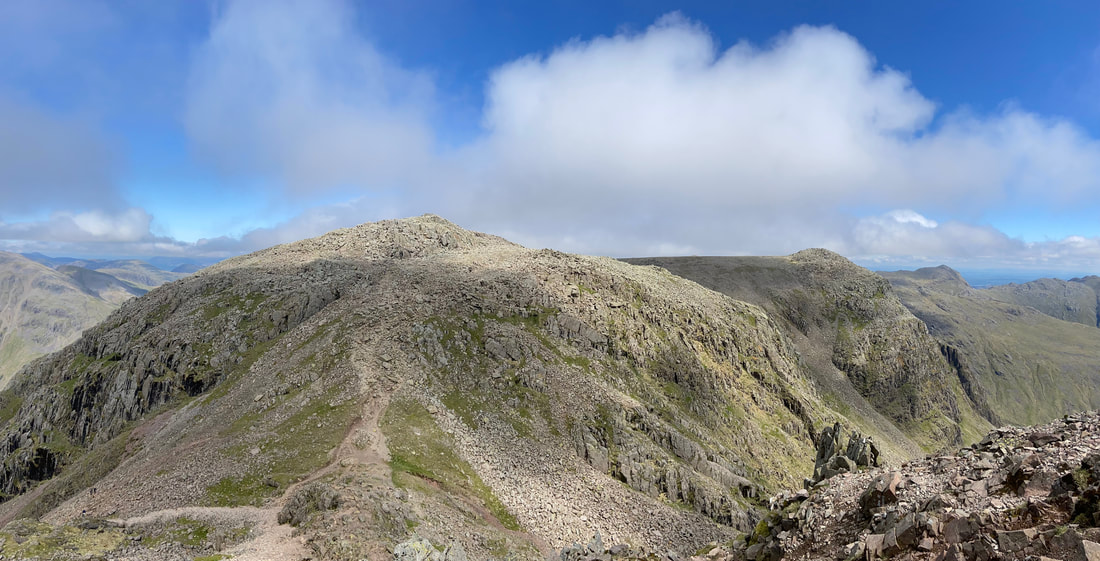
Approaching Scafell Pike looking to Red Pike, Scoat Fell, Black Crag, Wind Gap, Pillar, the High Stile Ridge, Kirk Fell, Grasmoor, Great Gable & Green Gable
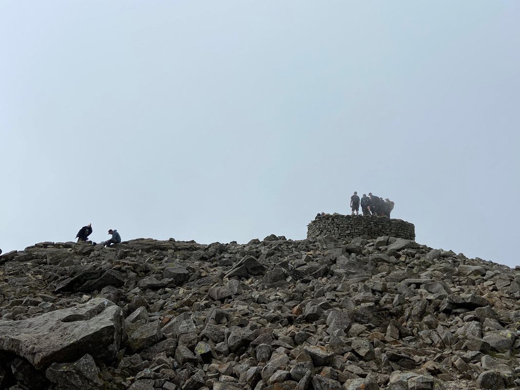
Just like that the cloud came in as we reach the Roof of England, Scafell Pike - thankfully it didn't hang about
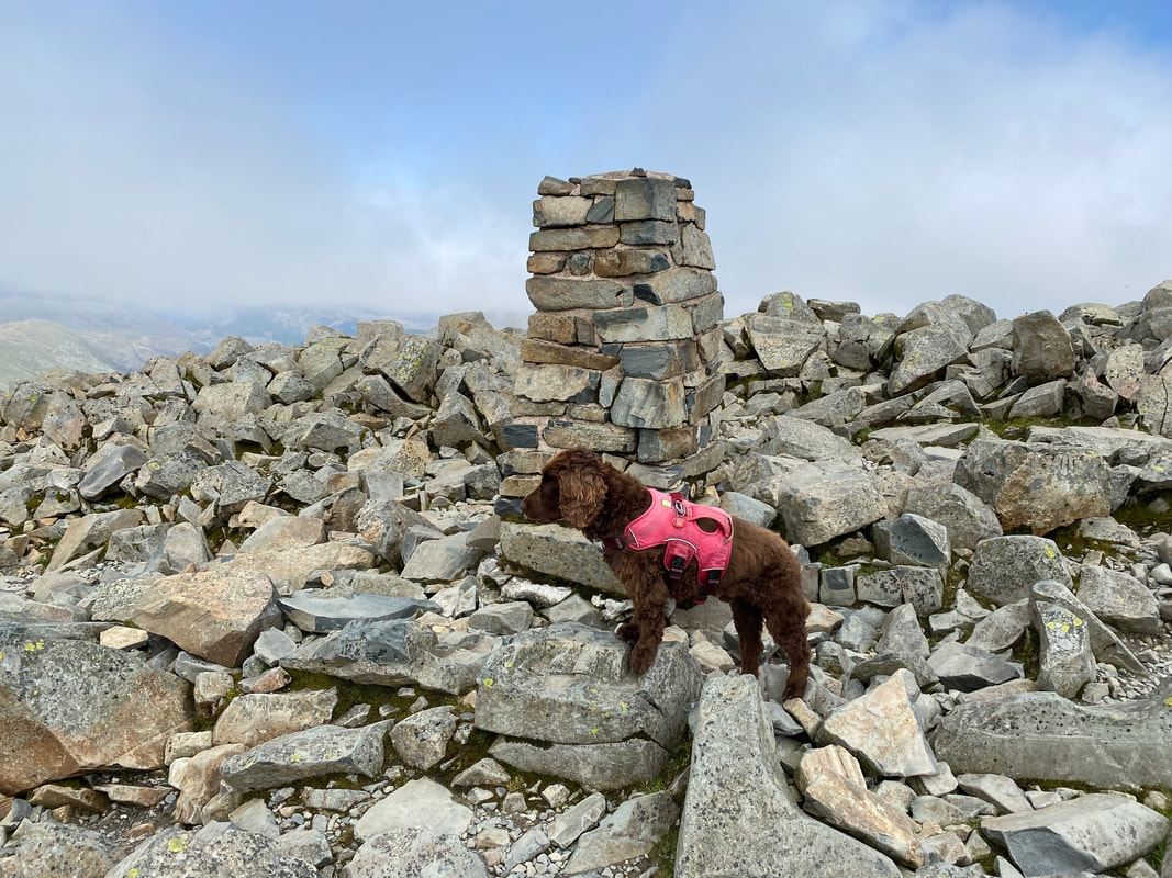
Fudge staking his claim as the highest dog in England at that particular time
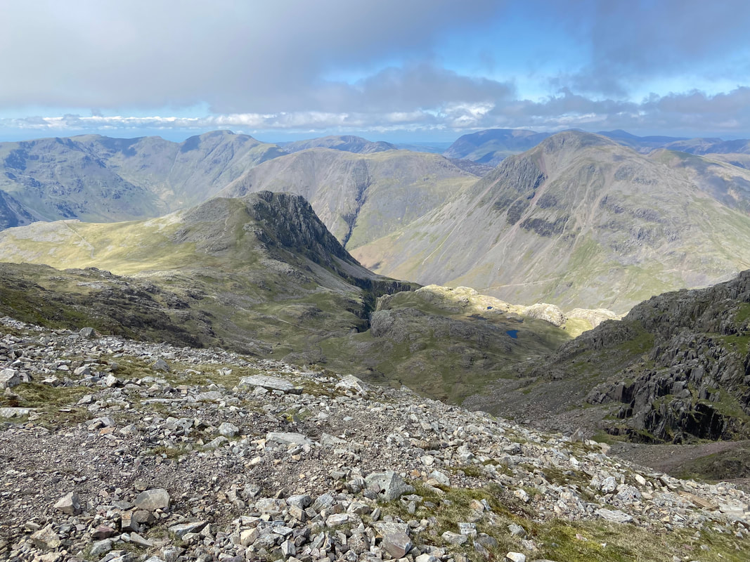
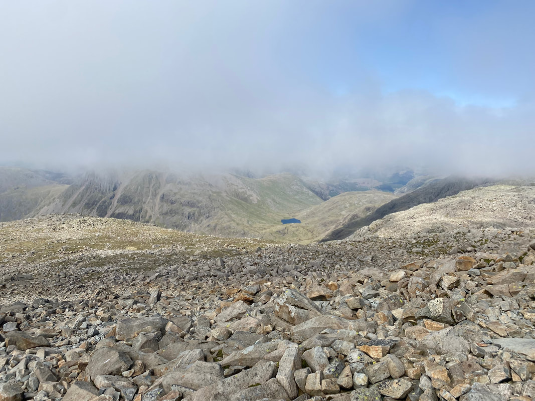
The cloud starts to dissipate as we look down to Sty Head & Styhead Tarn
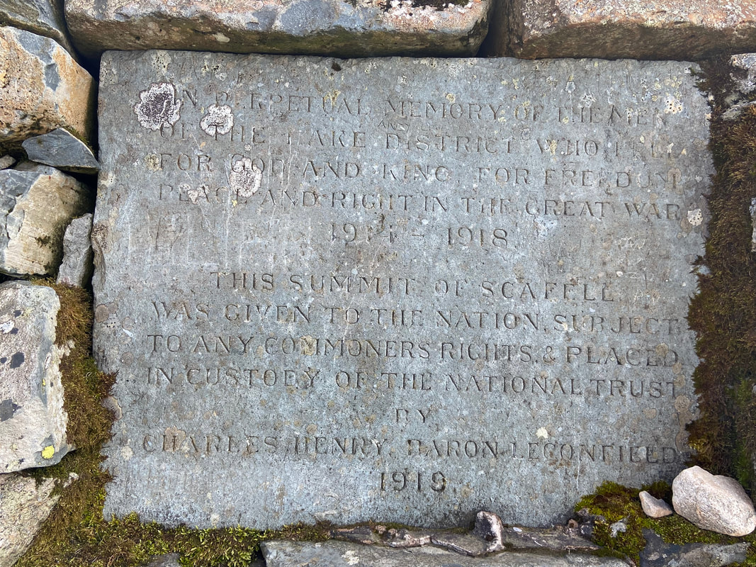
The stone plaque embedded into the summit cairn on Scafell Pike. The inscription is twofold - to the memory of the men of the Lake District who made the ultimate sacrifice in the First World War and secondly to proclaim the giving of the summit to the nation in the custody of the National Trust. Despite its significance, it doesn't stop the knuckle dragging element of today's society from scraping graffiti on it.
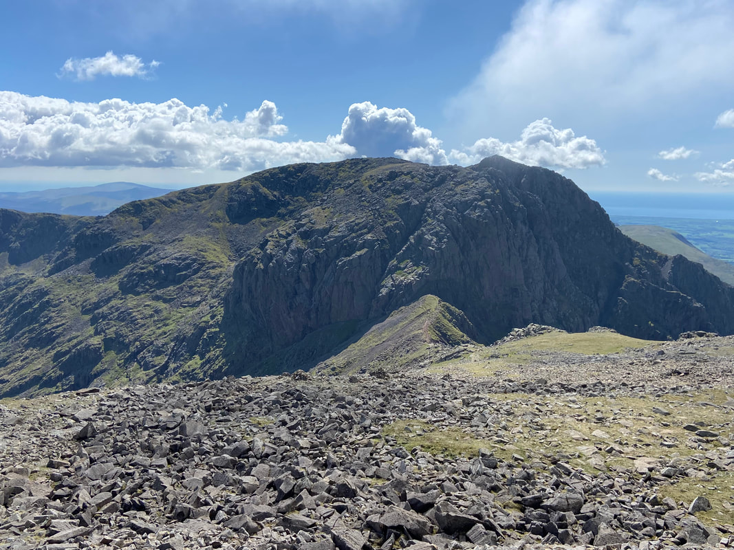
Scafell Pike is not just about the summit - it is always worth having a walk around the top in all directions as on a clear day the views are simply superb. This is the view south west to neighbouring Scafell & Broad Stand across the col of Mickledore.
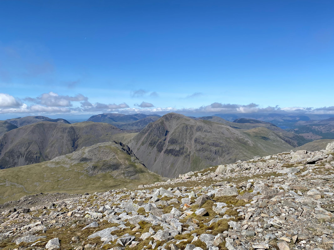
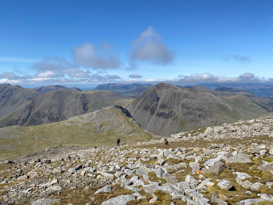
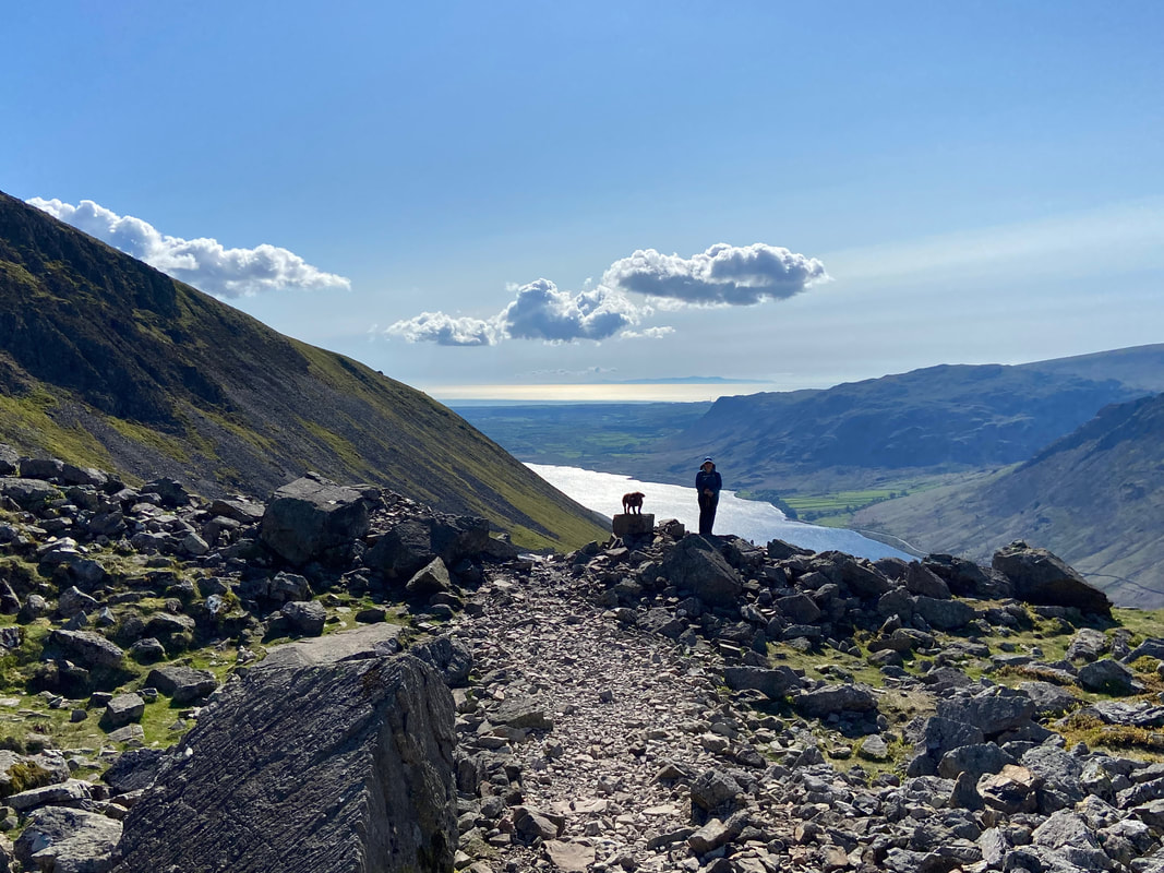
Leaving the summit we headed down the popular Hollow Stones path coming up from Wasdale - ahead of us centre left is Lingmell which is where we were off to next
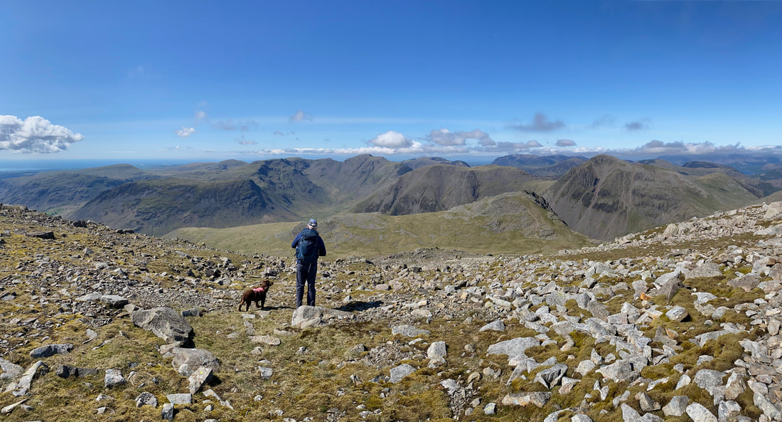
Fudge and I enjoying the fantastic panorama from just below Scafell Pike
Continuing the descent to Lingmell col
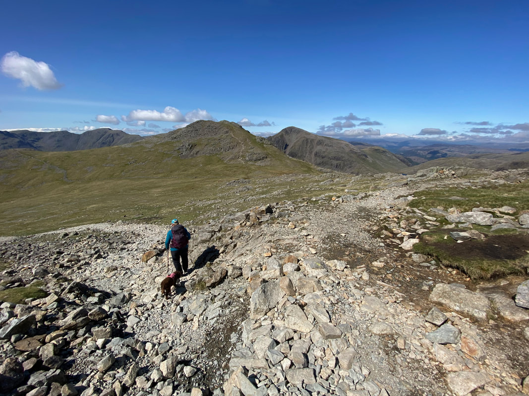
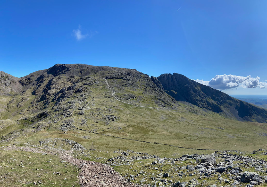
At Grid Reference NY 21080 07682 the path splits - heading left leads back to Wasdale Head via Hollow Stones and leaving to the right continues on to reach the Corridor Route & Piers Gill paths. The path heading up to Lingmell's summit can be seen snaking its way up the fell in the distance therefore we just made a beeline for this path which can be reached over good ground.
Heading for the western end of Lingmell col - as can be seen, the pathless going is pretty good
As we start the ascent of Lingmell, over to the right is our earlier route up to Broad Crag col
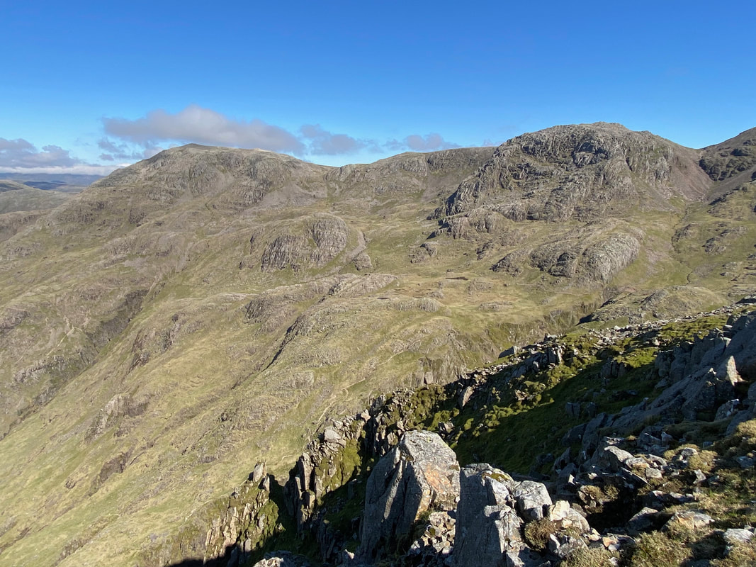
Looking back to Scafell Pike & Scafell from the Lingmell ascent - the Hollow Stones path can be seen heading over to the right back to Wasdale Head
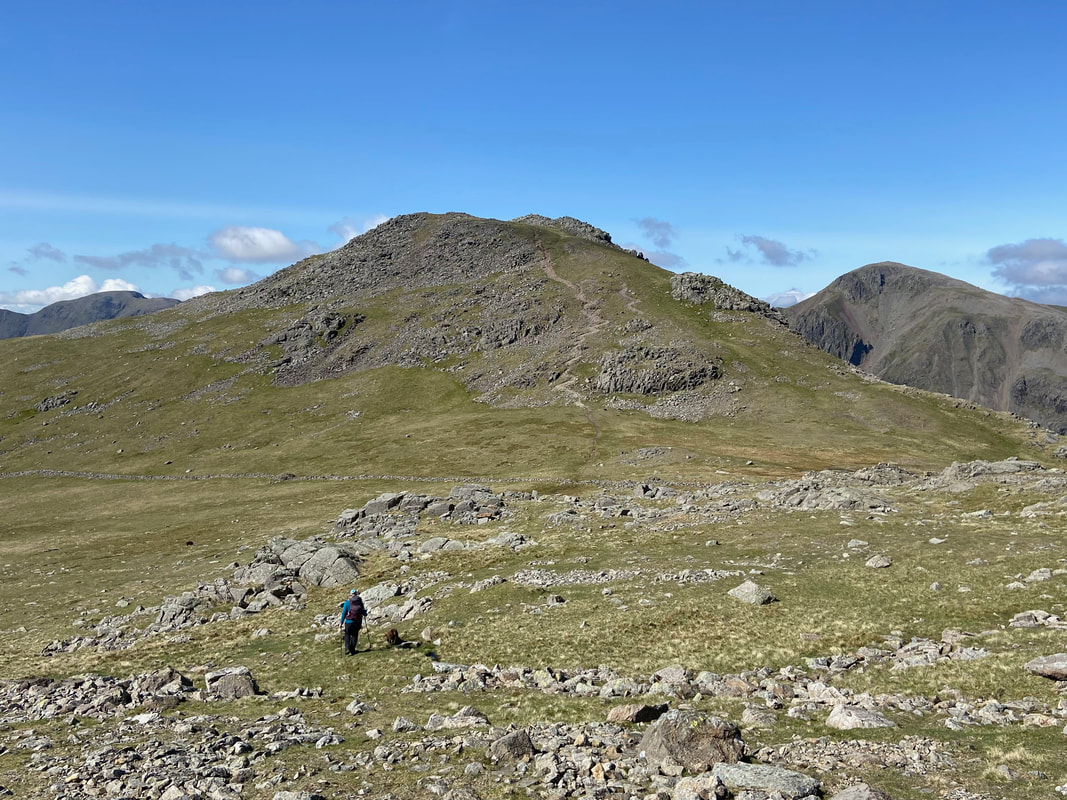
Approaching the summit of Lingmell
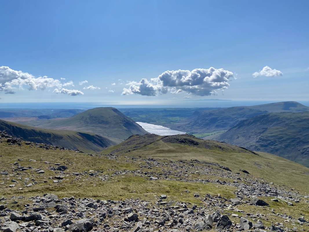
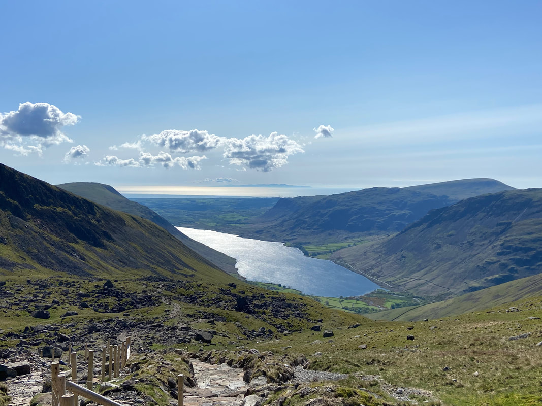
Illgill Head, Wastwater, Middle Fell, Seatallan & Yewbarrow from Lingmell
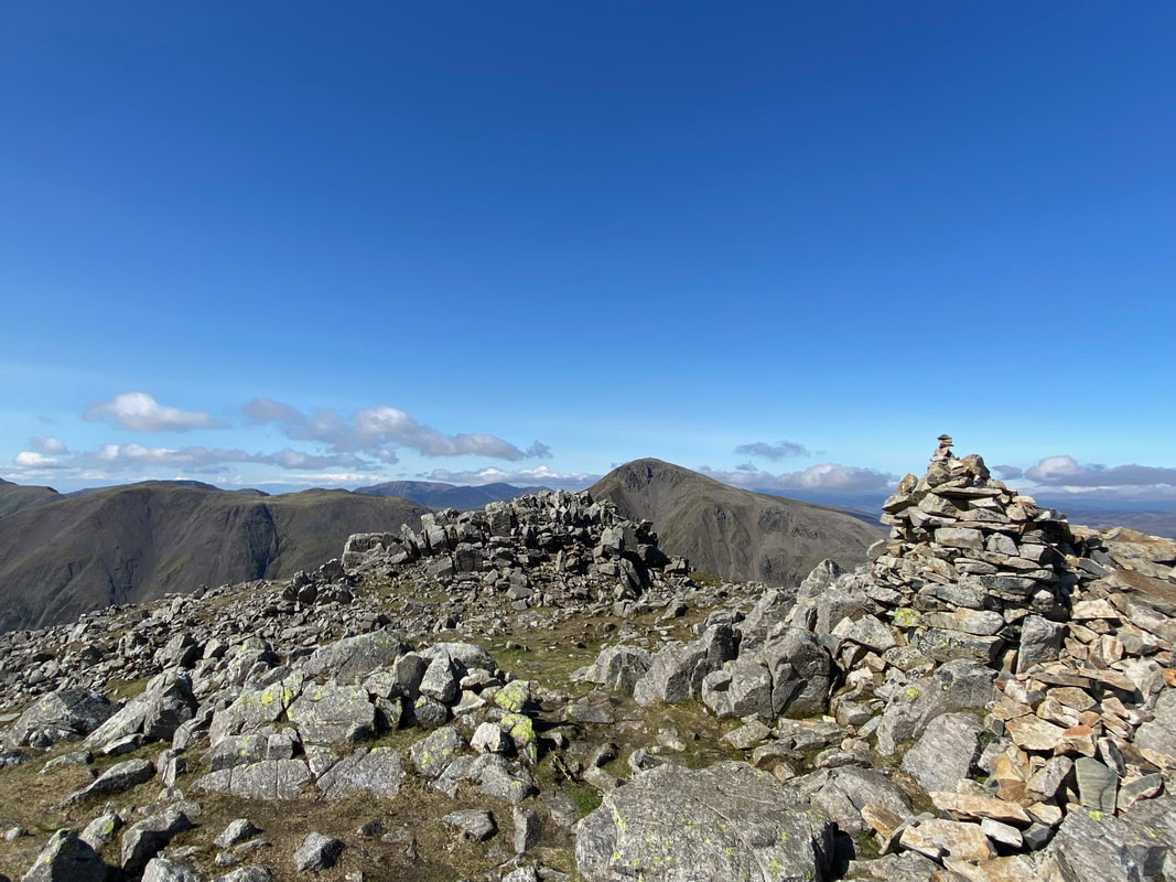
The summit of Lingmell looking to Kirk Fell & Great Gable
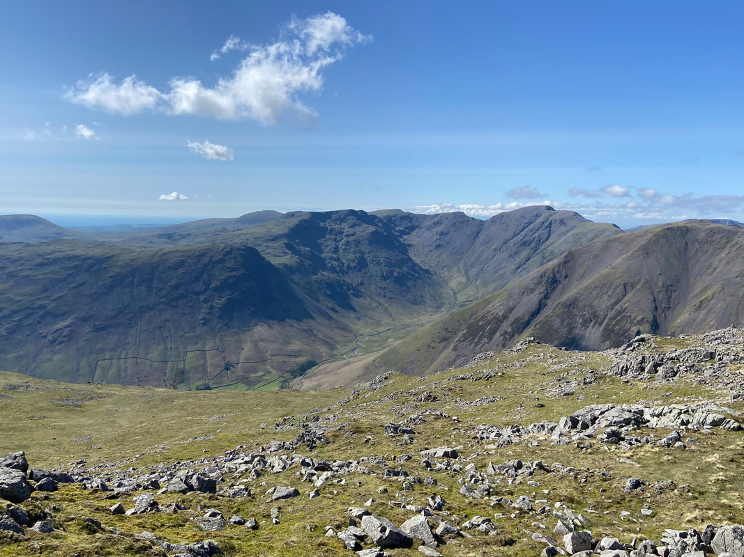
Mosedale from Lingmell
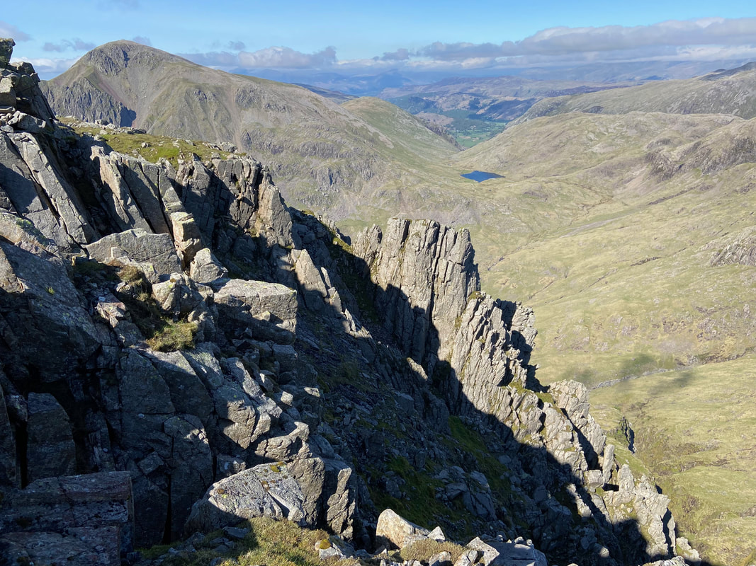
The craggy eastern face of Lingmell looking to Styhead Tarn
Great End & Broad Crag from Lingmell
From Lingmell's summit we retraced our steps back towards Lingmell col and then made a beeline to rejoin the Hollow Stones path above the zig zags
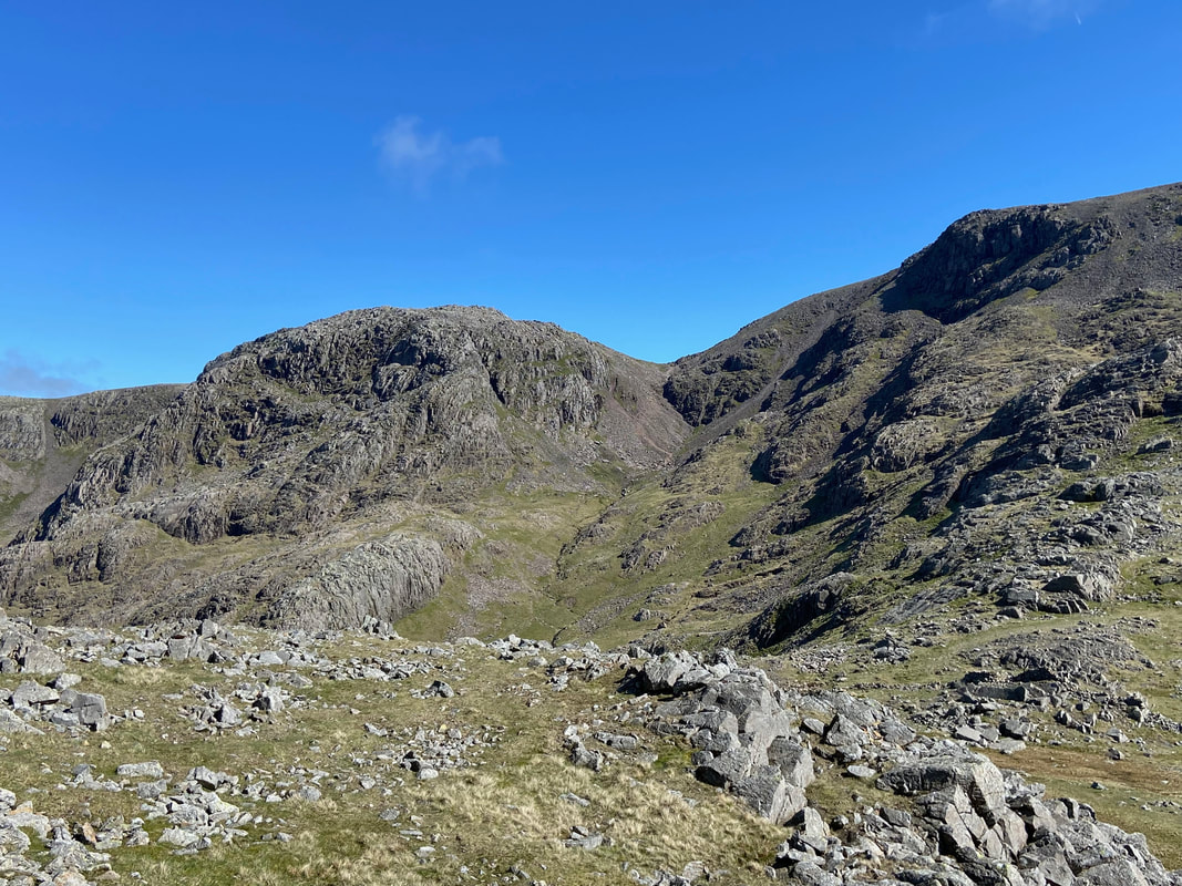
The magnificent view over to Mickledore & Scafell. Deep Gill, the West Wall Traverse & Lord's Rake are in the centre of shot
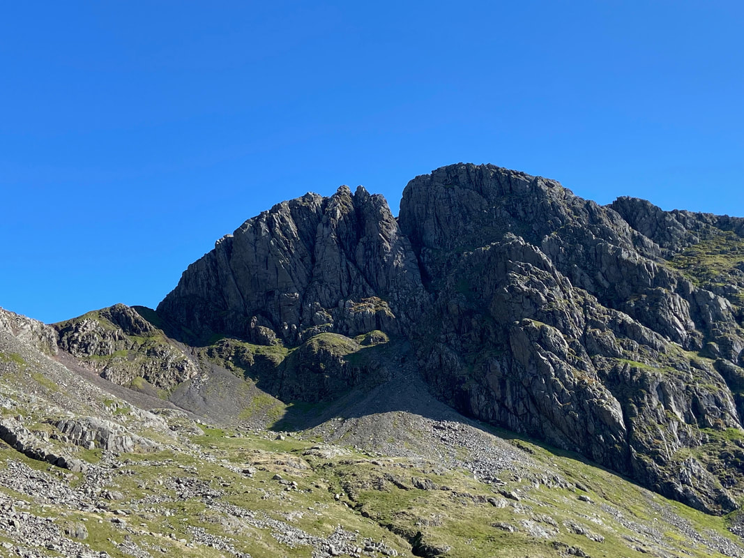
Pikes Crag and Pulpit Rock with Mickledore to the right
Nothing better than sharing a day like today with my two best friends
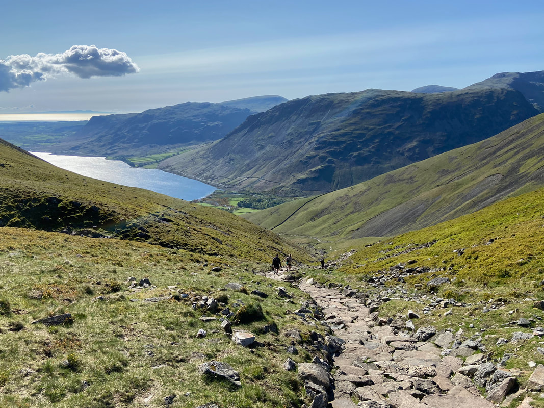
Continuing the descent as we head down Brown Tongue to the ford over Lingmell Gill
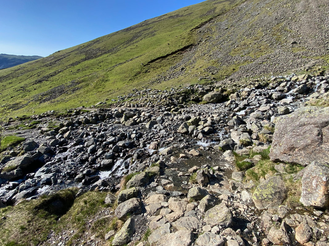
The ford over Lingmell Gill
Looking back to the path above the ford over Lingmell Gill
At a kissing gate the path splits - if you are parked at Brackenclose head left, Wasdale Head turn right
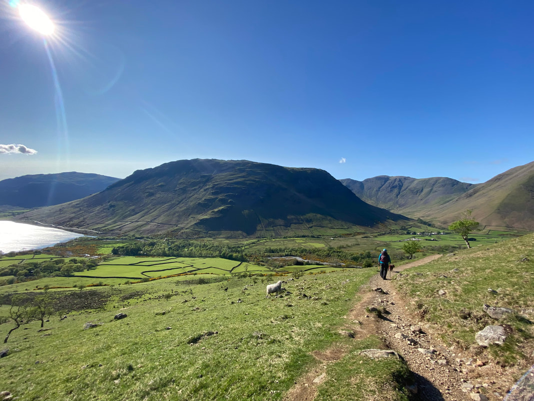
Yewbarrow in the early evening sun as we near Wasdale Head
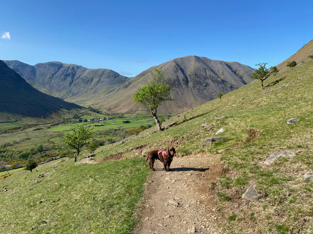
Hungry again no doubt - his tea was late therefore all was not well in Fudge's world
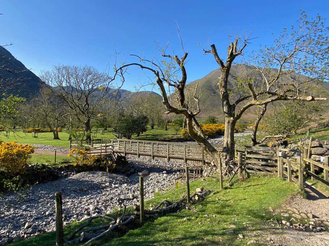
The footbridge over Lingmell Beck
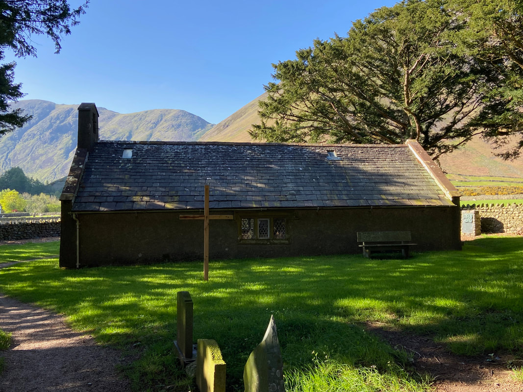
St Olaf's in Wasdale Head which is England's smallest parish church. It sits just 35 people. The church is always worth a visit and we have wandered inside many, many times. Wasdale Head was originally a Norse settlement, its first settlers being 2nd and 3rd generation Norse explorers who became farmers after landing on the west coast from Ireland and the Isle of Man around 1000 AD, bringing Christianity with them.
St Olaf (995 - 1030) was the King of Norway and is widely credited with uniting his country with a widespread adoption of Christianity. Before inheriting the throne he took part in a raid on London in 1014 and helped depose King Canute and restore Ethelred the Unready back to the English throne. However in 1028, Olaf himself was overturned by Canute and was killed at the Battle of Stiklestaad in 1030 as he attempted to regain his throne. He was eventually canonised by Pope Alexander III in 1164.
St Olaf (995 - 1030) was the King of Norway and is widely credited with uniting his country with a widespread adoption of Christianity. Before inheriting the throne he took part in a raid on London in 1014 and helped depose King Canute and restore Ethelred the Unready back to the English throne. However in 1028, Olaf himself was overturned by Canute and was killed at the Battle of Stiklestaad in 1030 as he attempted to regain his throne. He was eventually canonised by Pope Alexander III in 1164.
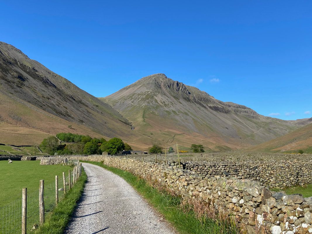
Great Gable from the track to Burnthwaite Farm
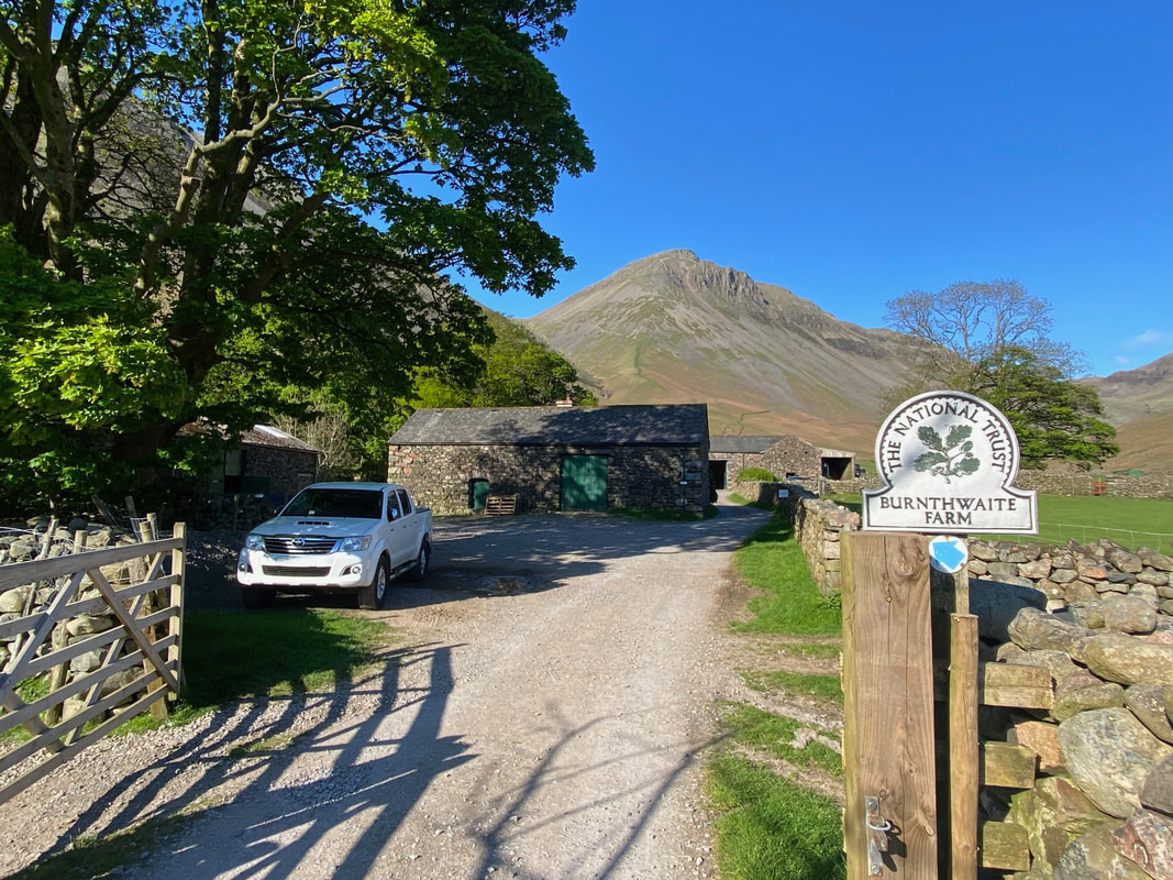
Back at Burnthwaite Farm after a simply stunning day out - it was now time to drive home after a fantastic week in Wasdale
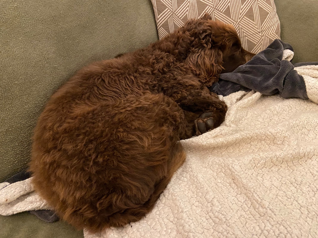
Safely back home and Fudge assumes his favourite position snuggled up on the couch
