Dale Head & Hindscarth - Wednesday 1 June 2022
Route
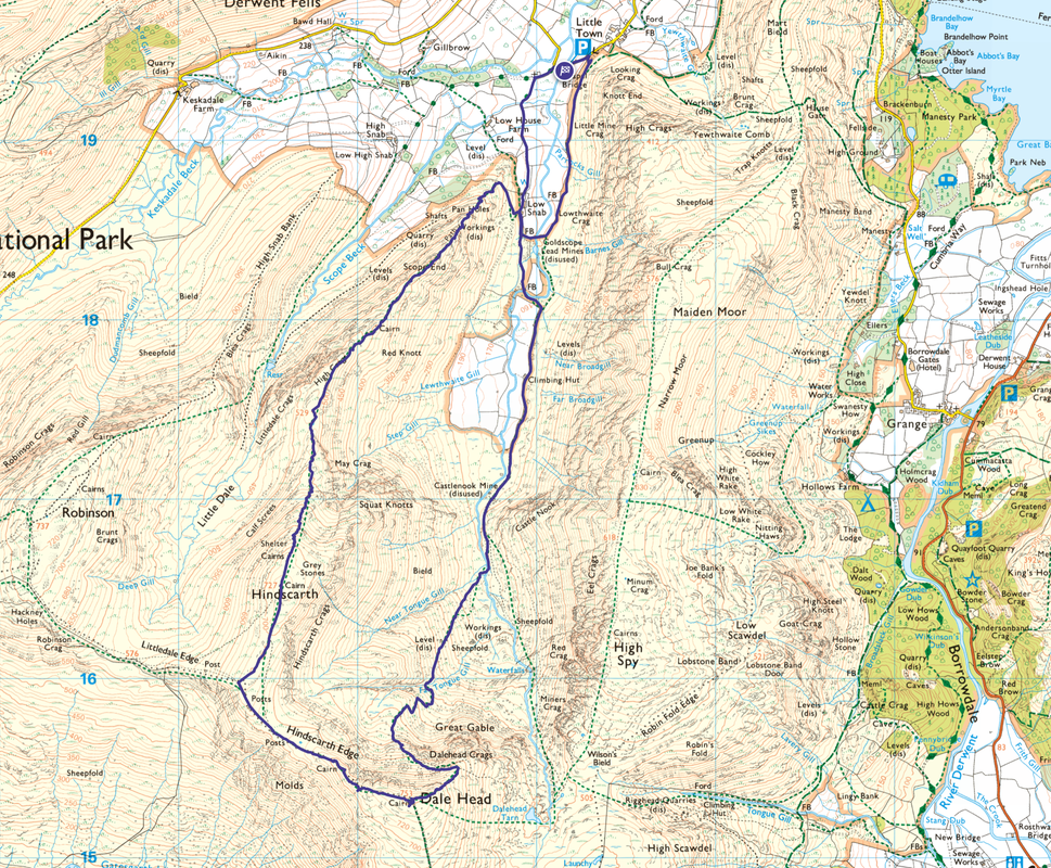
Chapel Bridge - Newlands Church - Low Snab - Castlenook Mine - Far Tongue Gill - Dale Head Mine - Dale Head - Hindscarth Edge - Hindscarth - High Crags - Red Knott - Scope End - Low Snab - Goldscope Lead Mine - Chapel Bridge
Parking
The small Car Park (Donation) at Chapel Bridge which is 1/4 mile south west of Little Town. The Grid Reference is NY 232 194 and the nearest postcode is CA12 5TU. When using this Car Park in the summer months you are advised to arrive early as it fills up quickly.
Mileage
7.9 miles
Terrain
Good mountain paths throughout. The descents from Hindscarth to High Crags & Scope End to the valley floor are steep but on good paths.
Weather
Overcast with some sunny spells. I had a period of low cloud whilst on the summit of Dale Head.
Time Taken
4hrs 45mins
Total Ascent
2454ft (748m)
Wainwrights
2
Map
OL4 The English Lakes - North Western Area
Walkers
Dave & Fudge
|
GPX File
|
| ||
If the above GPX file fails to download or presents itself as an XML file once downloaded then please feel free to contact me and I will send you the GPX file via e-mail.
Route Map
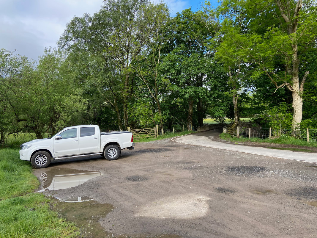
The Car Park near Little Town at Chapel Bridge. As stated above, this is a popular spot for climbing Cat Bells therefore at busy times it pays to be here early.
Just Fudge and I out today as Angie was away visiting her Mum on the South Coast. I had always wanted to climb Dale Head from this less travelled route and from the start until reaching the summit I saw nobody. It just goes to show that if you get your head into the OS Map and Wainwright's Guides then there are little gems like this to be found. The route can be viewed in Book 6, The North Western Fells on page Dale Head 6.
Just Fudge and I out today as Angie was away visiting her Mum on the South Coast. I had always wanted to climb Dale Head from this less travelled route and from the start until reaching the summit I saw nobody. It just goes to show that if you get your head into the OS Map and Wainwright's Guides then there are little gems like this to be found. The route can be viewed in Book 6, The North Western Fells on page Dale Head 6.
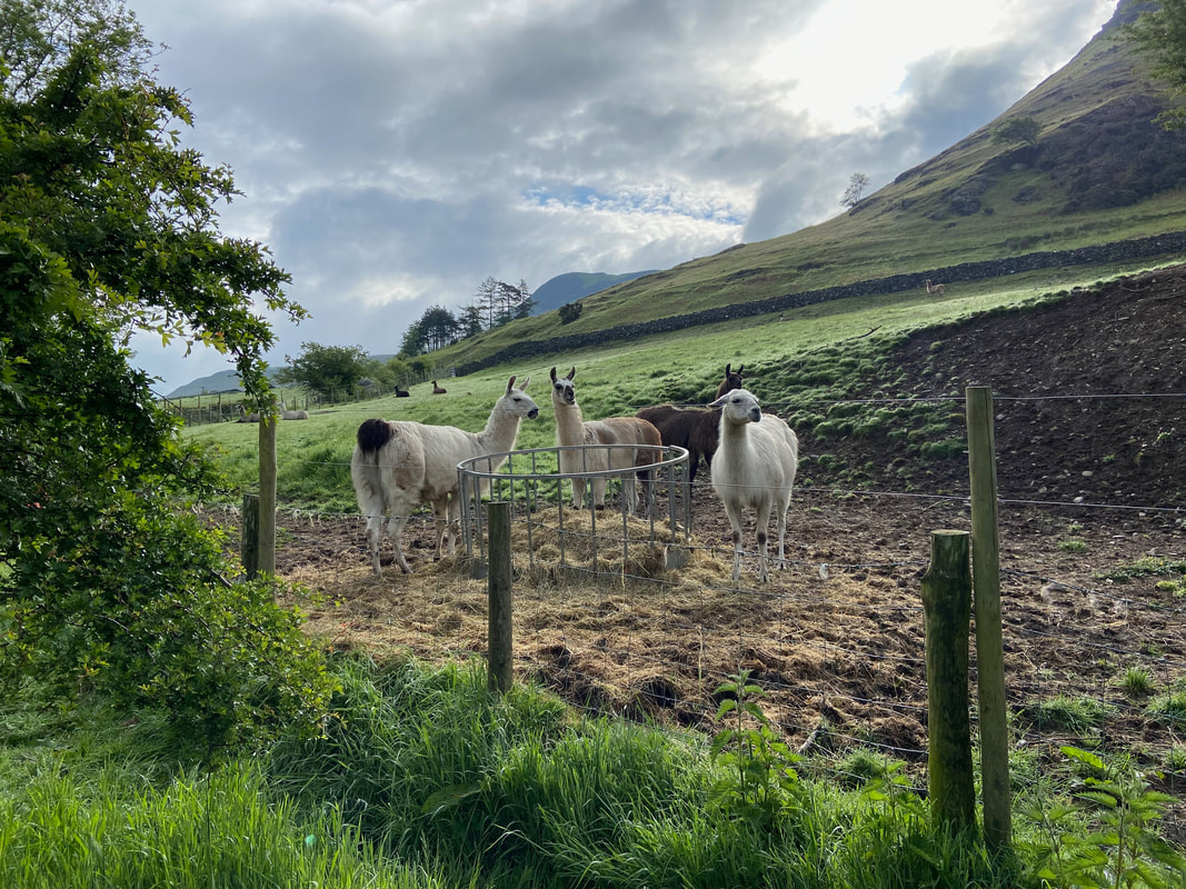
Llamas apparently although I always find it hard to tell them apart from Alpacas. This lot were having a munch in the field behind the Car Park.
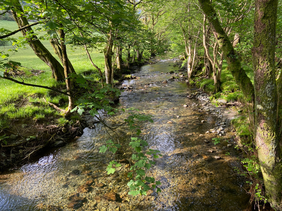
Crossing Chapel Bridge over Newlands Beck
Crossing the bridge the route turns left in the direction of Newlands Church
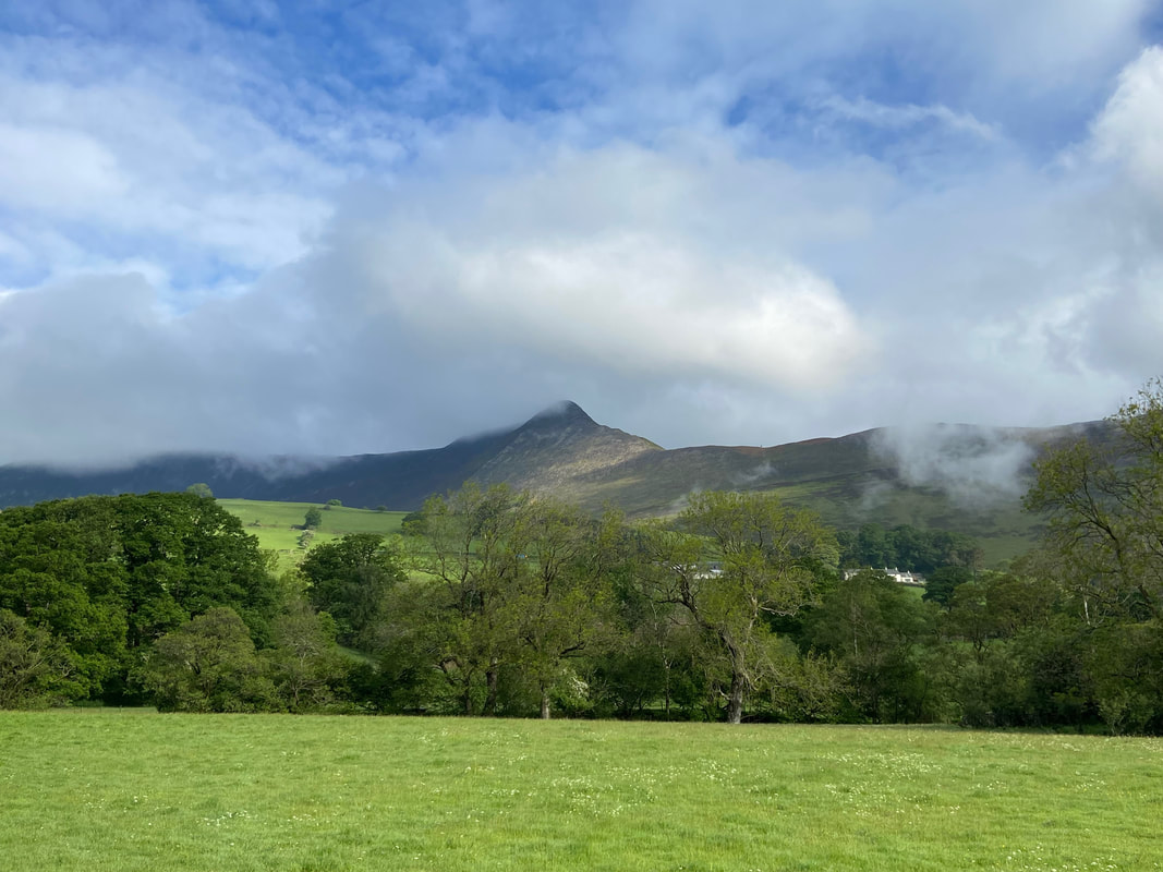
Causey Pike
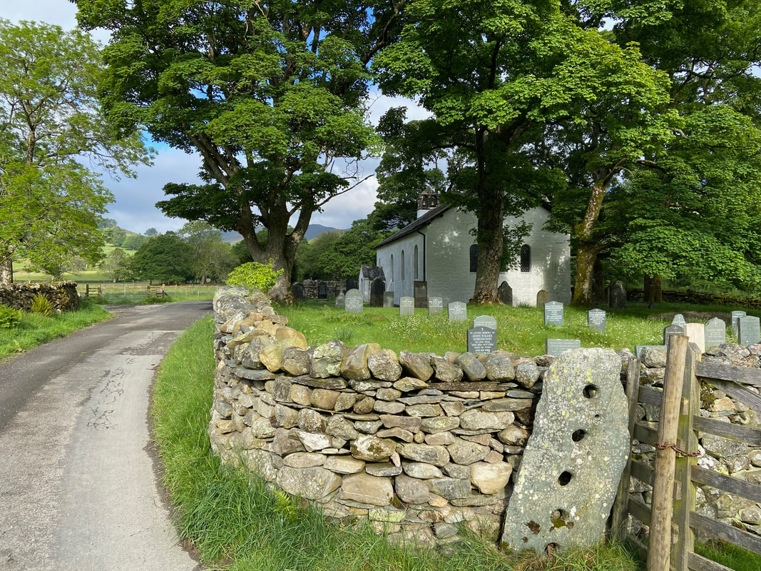
Newlands Church - I like the fact that the old stone fencepost is still here. The exact date of origin is unknown but a map dated 1576 shows a chapel on the site.
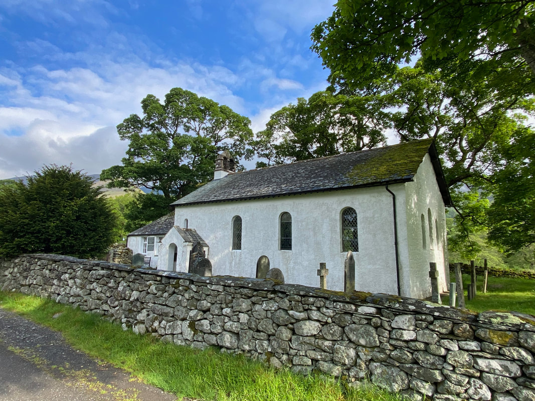
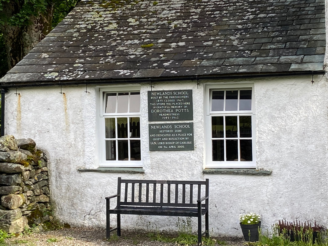
Newlands Church from a little further along the lane. The building at the far end of the church on the west side is the former Newlands School and despite a plaque on the external wall stating it was built in 1877, records confirm it was constructed in 1841 at a cost of £37.
The slate plaques on the external wall of Newlands School. As can be seen, the school closed in 1967 and when it was restored in the year 2000 became a place for "quiet & reflection".
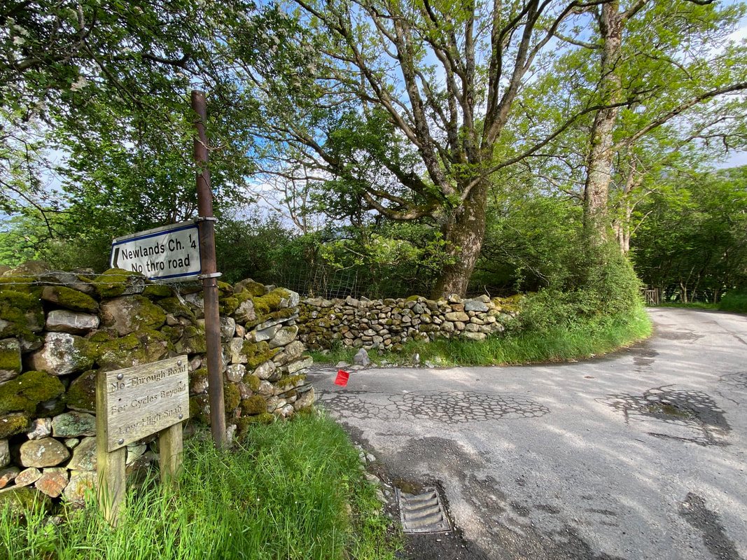
To the right of the track to Low Snab is Low House Farm
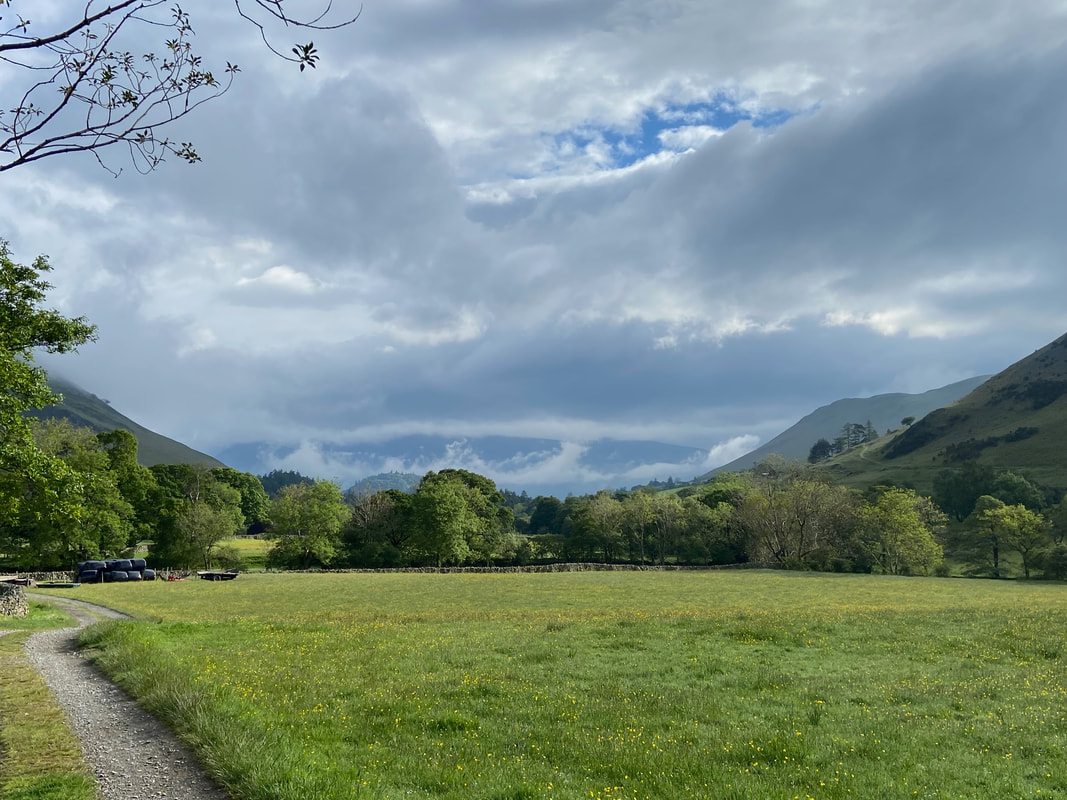
A cloudy Skiddaw to the rear as I continue along the access track to Low Snab
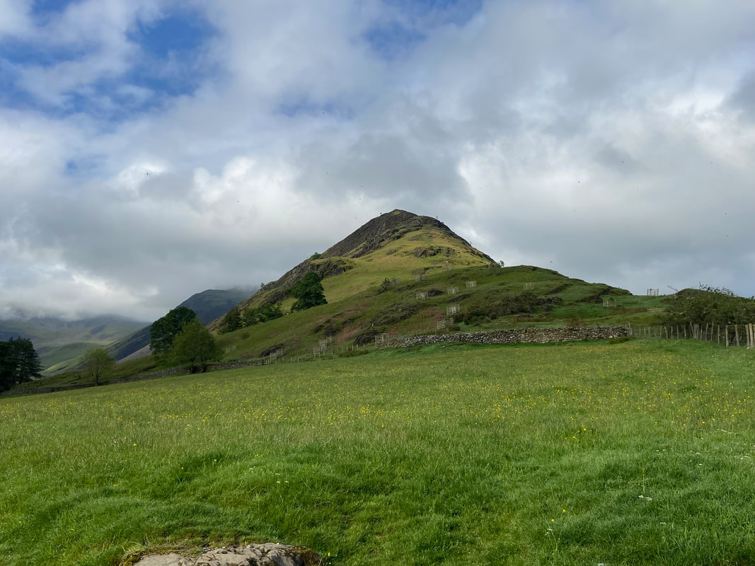
Scope End which would be my route of return
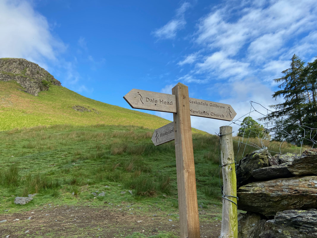
A 3 way signpost just after Low Snab. To return to the start I would drop down to here via Hindscarth & Scope End and head along the path a little further on towards Dale Head (see next pic).
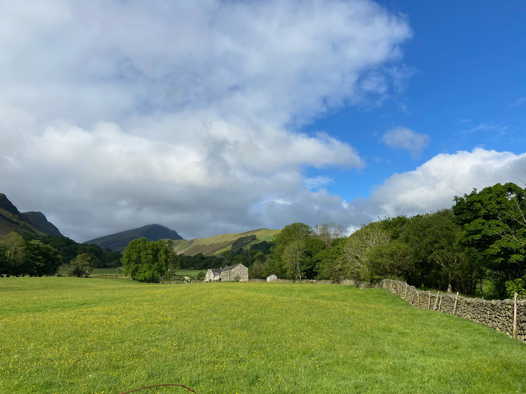
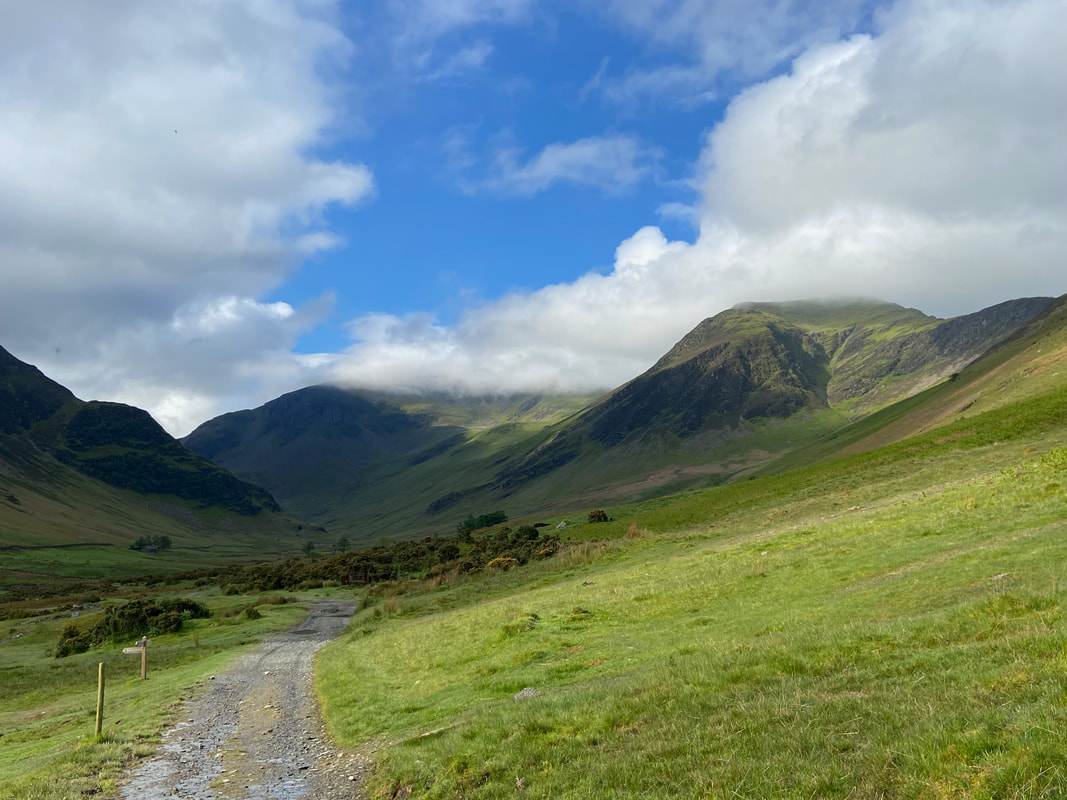
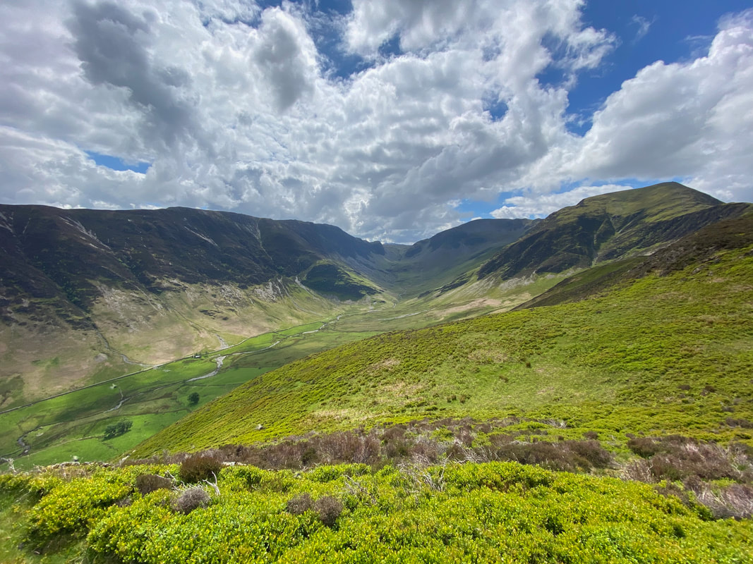
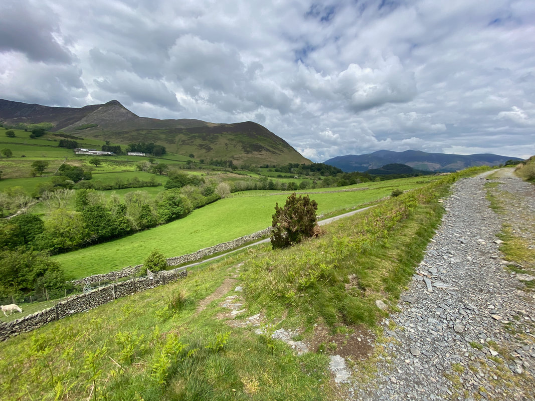
My route through the Newlands Valley with Dale Head straight ahead of me and Hindscarth to the right. The headland on the left is Castle Nook. The sign on the left will be my return route once I had descended from Scope End and would take me back to the Car Park via Parrocks Gill below Lowthwaite Crag.
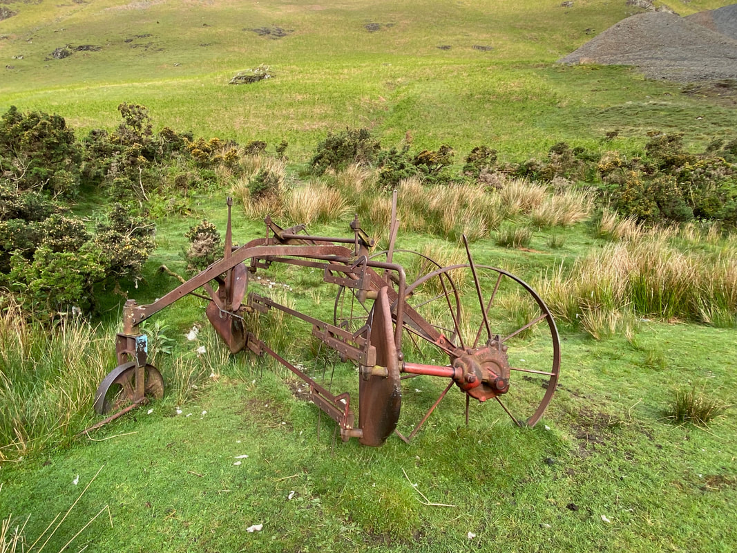
A piece of redundant farm machinery on the side of the path. On closer inspection this could be a Swathe Turner which was manufactured by Lister & Blackstone. The Swathe Turner was used to turn the hay after it was cut to ensure it dried evenly and quickly.
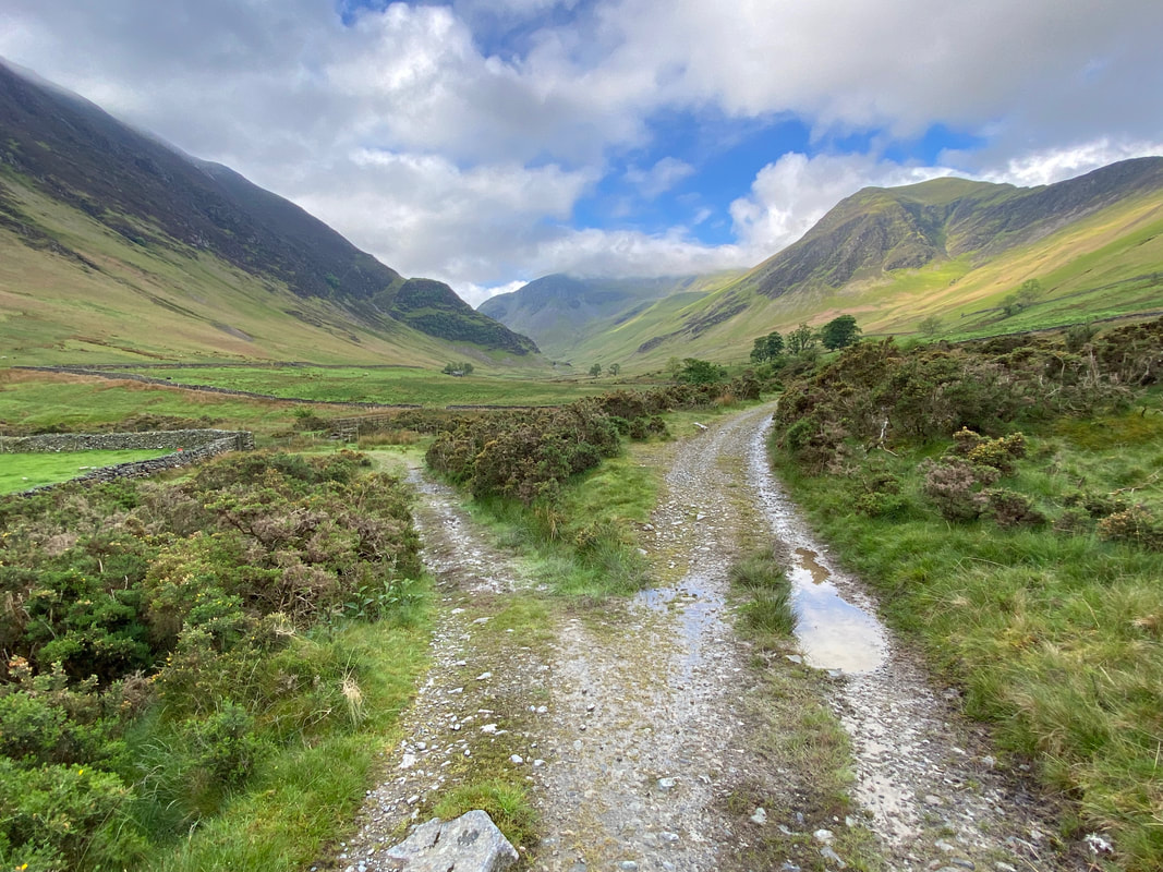
After 300 yards from the signpost the path forks. I would be taking the path to the left which leads to a footbridge over Newlands Beck.
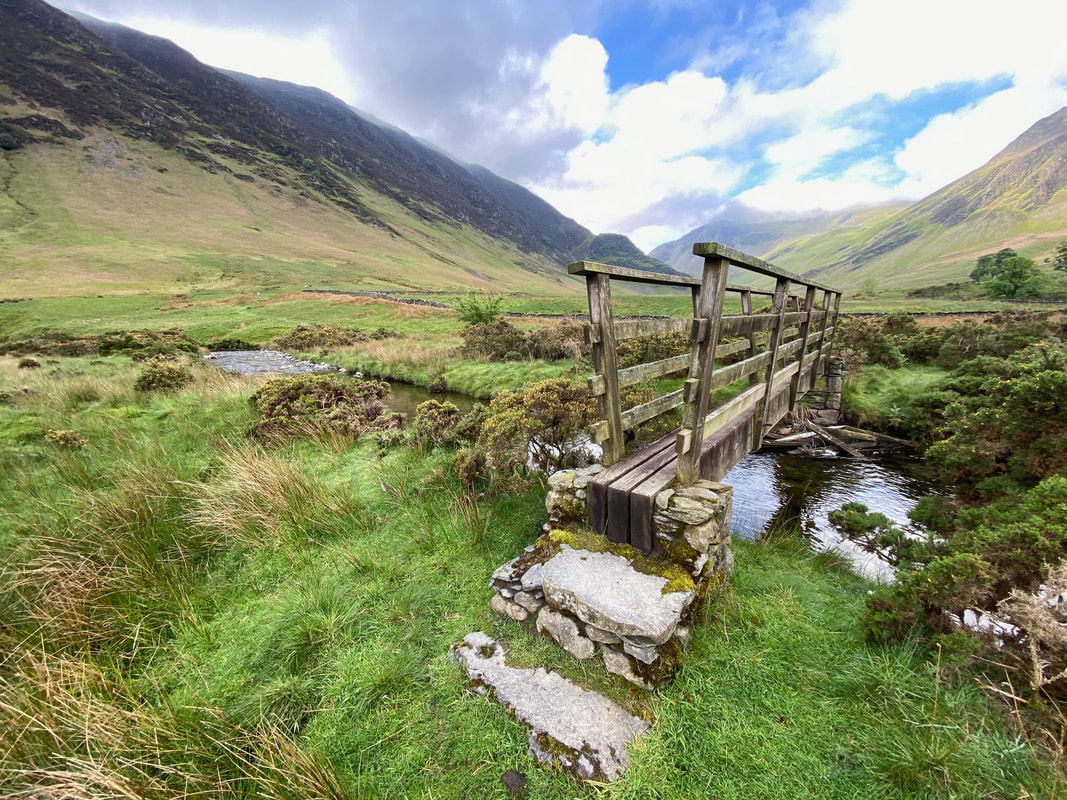
The footbridge over Newlands Beck
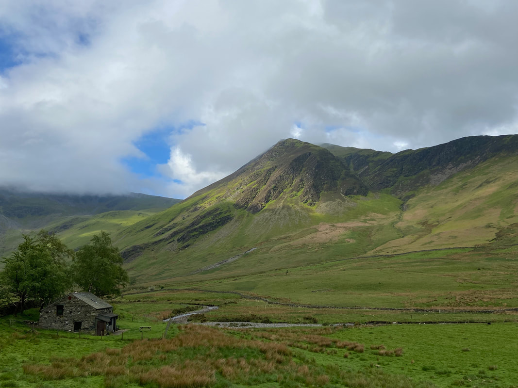
With Hindscarth providing the backdrop, the route passes a Climbing Hut. The hut belongs to the Carlisle Mountaineering Club and can be hired by the general public. Further information can be found here.
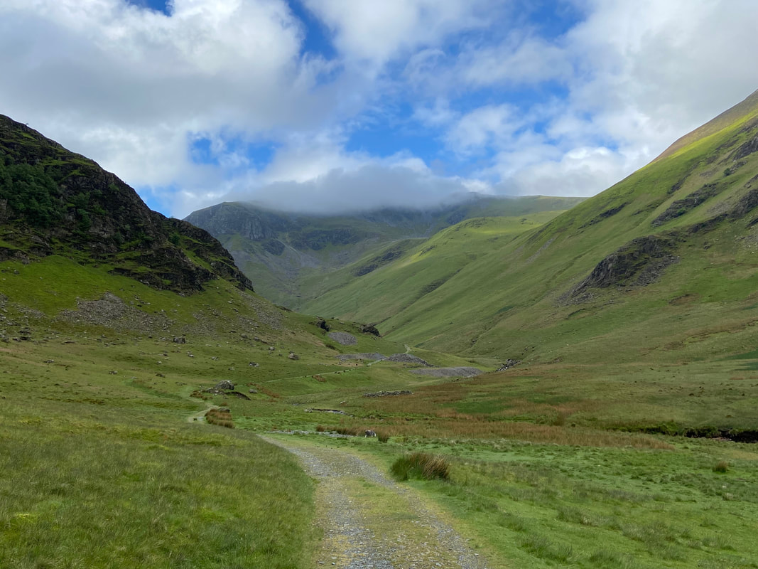
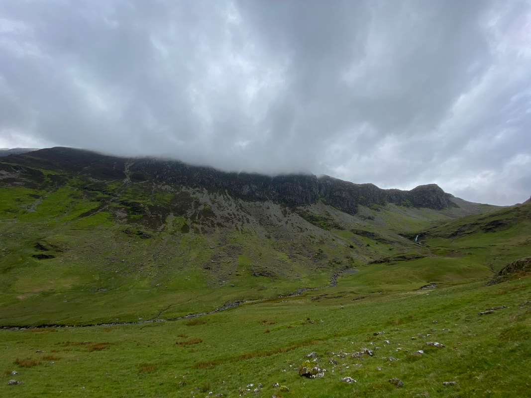
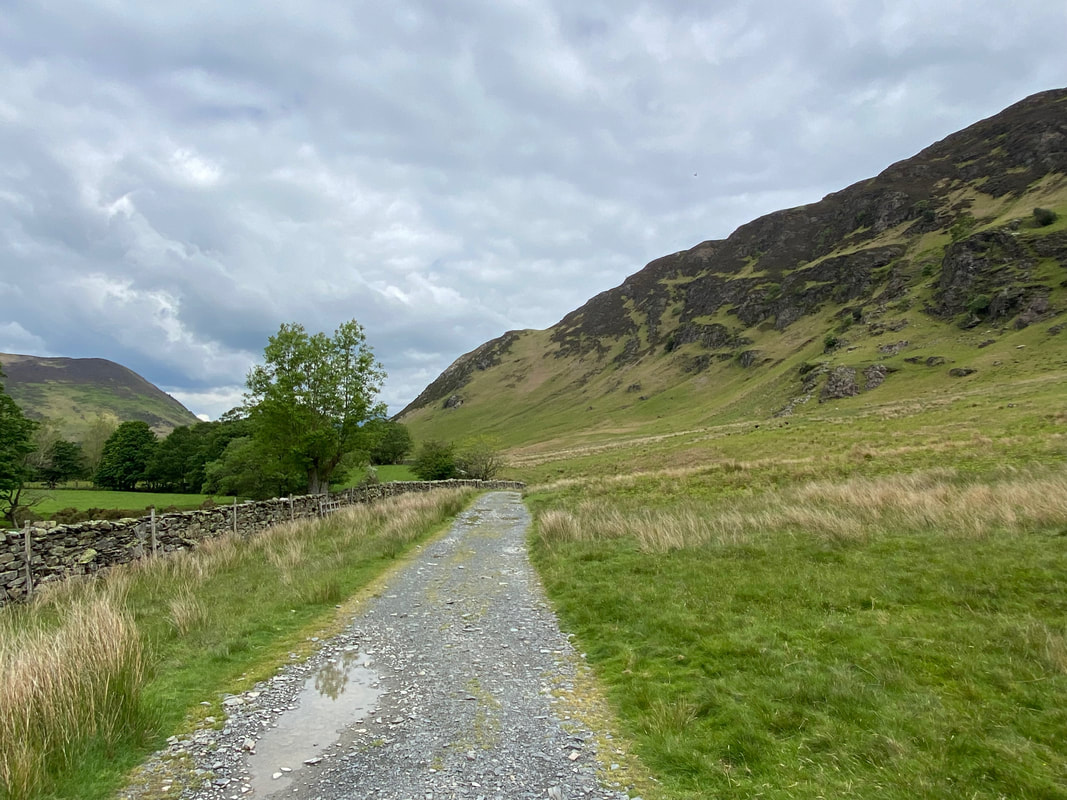
Dale Head topped with a cloudy hat as I continue my transit through this beautiful valley along the old mine road. Ahead to the left are Castle Nook Crags with the old spoil heaps from the mine.
Castlenook was a lead mine which was established in the 17th Century but not much is known until 1835. The mine worked for brief spells only. In 1859 a water wheel was erected, dressing floors were put down and 18 men employed. It closed in 1864 and re-opened in 1917 only to close again a year later. It never opened again.
Castlenook was a lead mine which was established in the 17th Century but not much is known until 1835. The mine worked for brief spells only. In 1859 a water wheel was erected, dressing floors were put down and 18 men employed. It closed in 1864 and re-opened in 1917 only to close again a year later. It never opened again.
About 1/4 mile beyond Castlenook Mine the path swings to the west to head up a grassy shelf in the direction of Far Tongue Gill
High Spy across Newlands. On the far side of Newlands Beck is a path that takes the walker up to Dalehead Tarn. Wainwright described this path as "a tedious way to the top" (Dale Head 6)
Crossing Far Tongue Gill
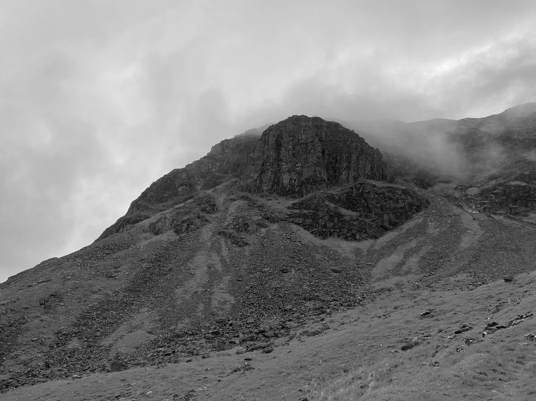
Gable Crag on Dale Head in mono
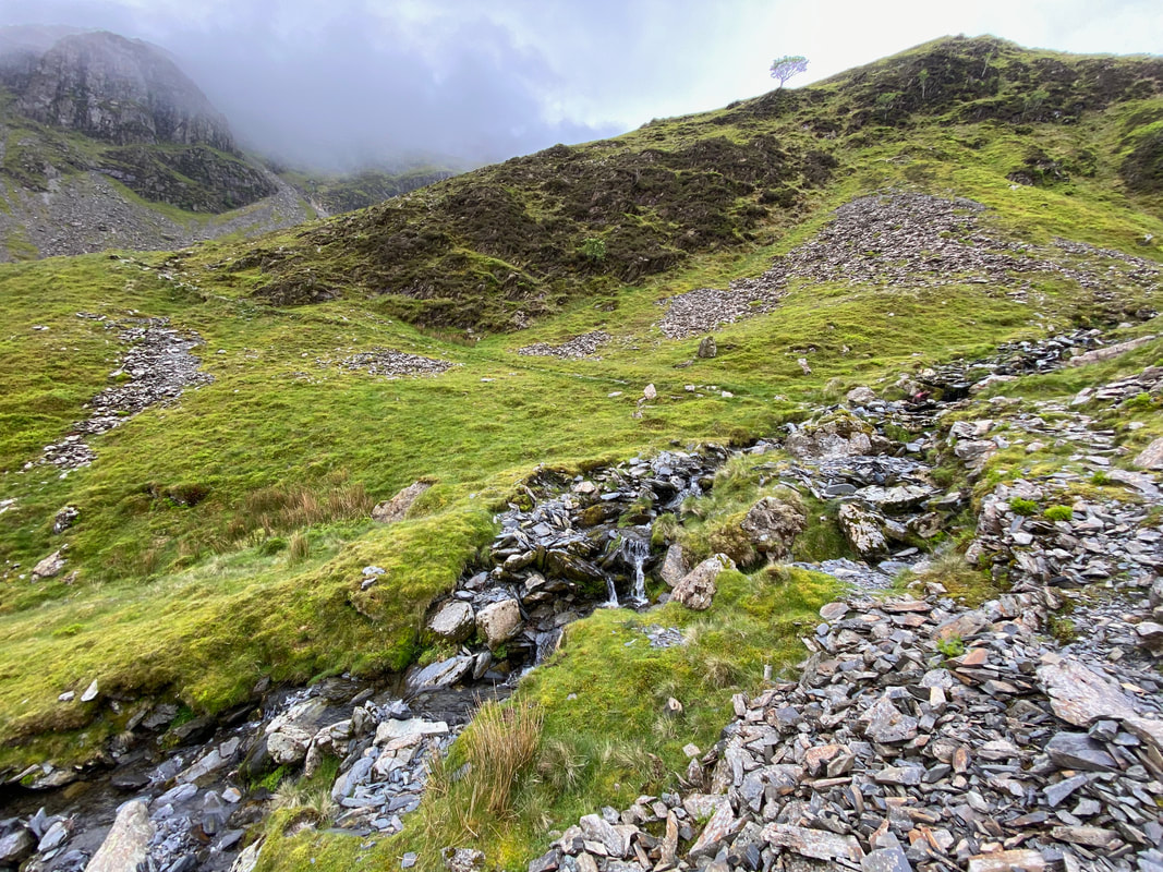
Once Far Tongue Gill is crossed, the path zig zags its way up the fell side to reach the ruins of Dale Head Mine at the head of the Newlands Valley.
Dale Head Mine was a copper mine worked by small groups of men in about 1570 for a short time and subsequently abandoned for 100 years. No records exist for a further 100 years or so until in 1805 it started up again and produced outputs of about 150 tons per year until 1833, when the venture ran out of money. Further ventures were undertaken but the difficulties of working for poor returns were too great and the mine closed for good in 1848.
Dale Head Mine was a copper mine worked by small groups of men in about 1570 for a short time and subsequently abandoned for 100 years. No records exist for a further 100 years or so until in 1805 it started up again and produced outputs of about 150 tons per year until 1833, when the venture ran out of money. Further ventures were undertaken but the difficulties of working for poor returns were too great and the mine closed for good in 1848.
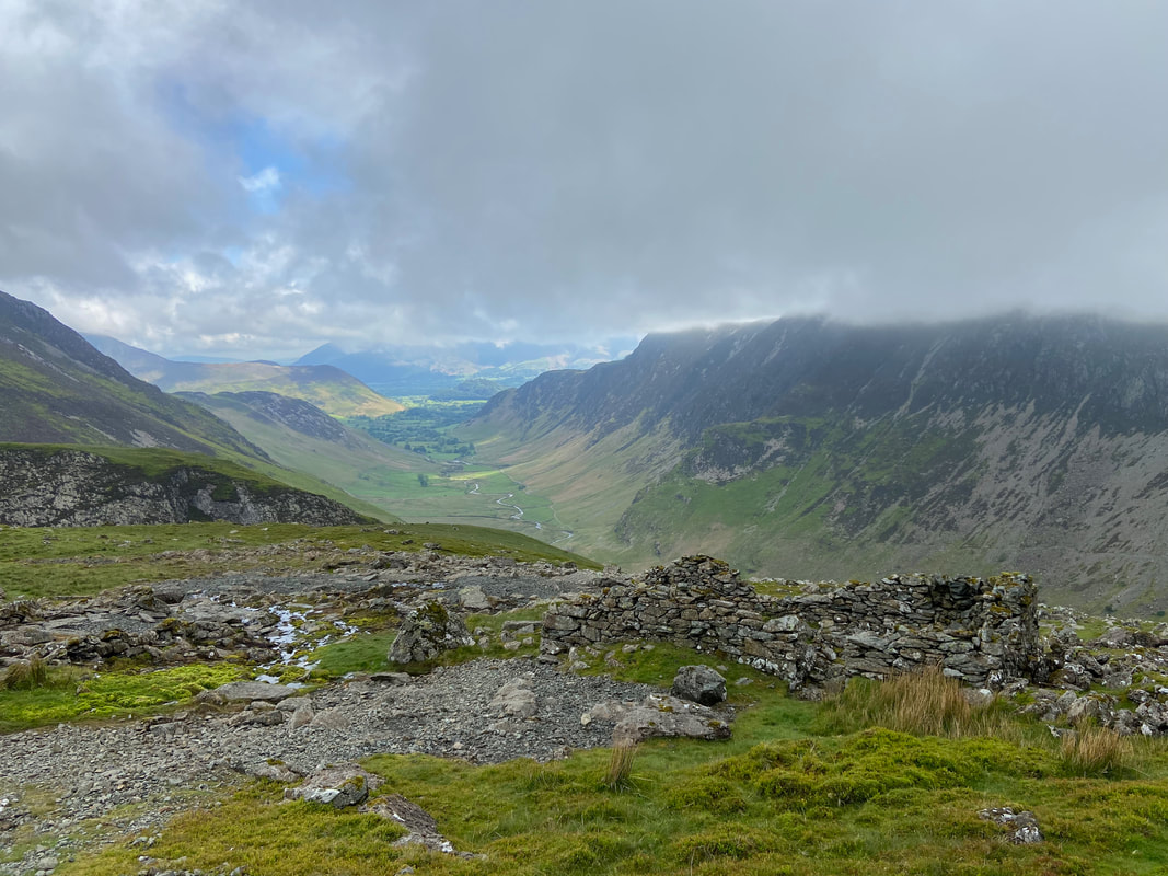
The superb view down the Newlands Valley from the ruins of Dale Head Mine
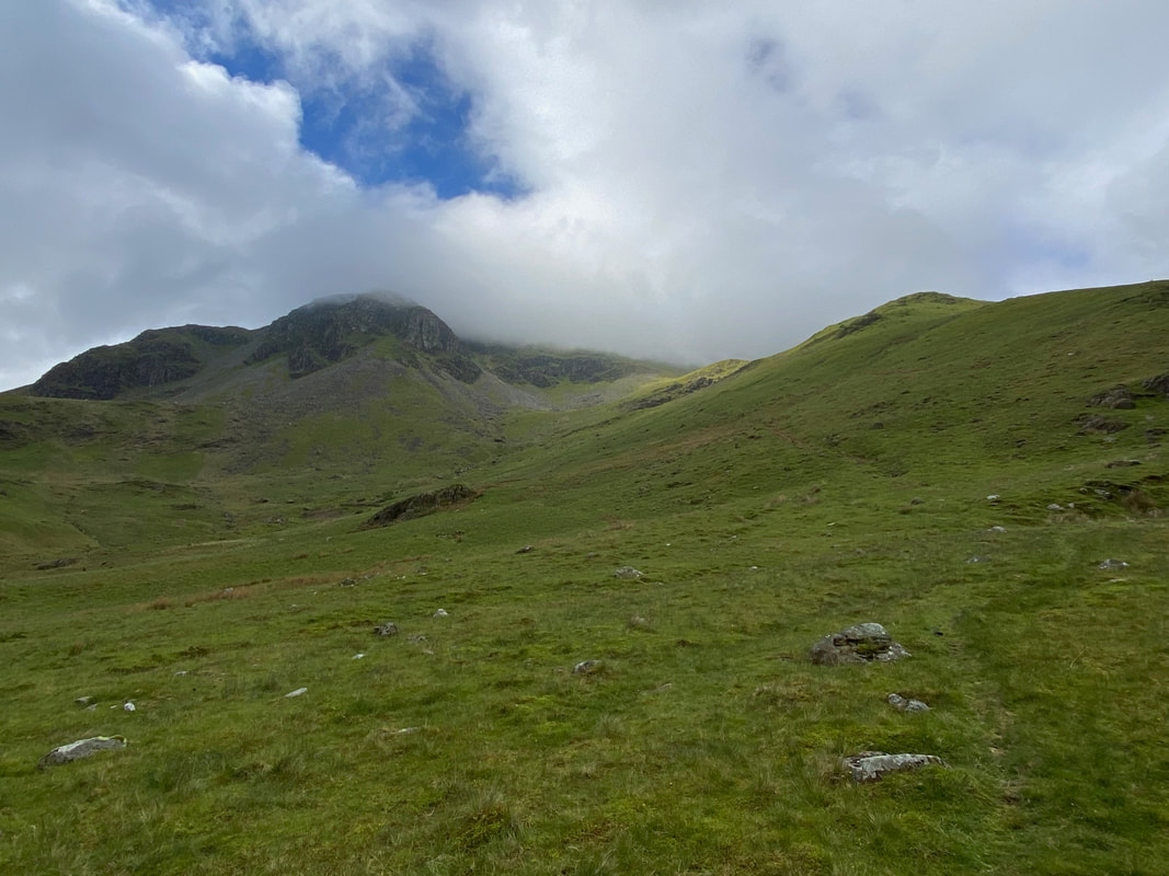
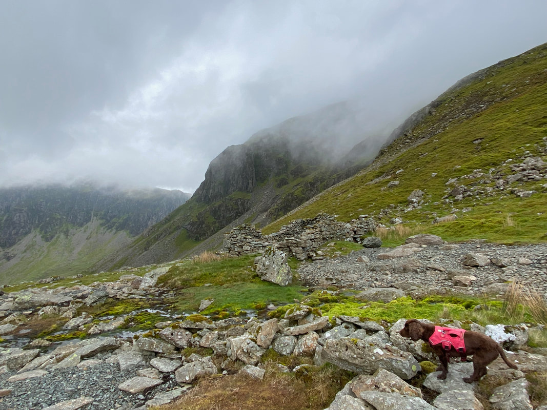
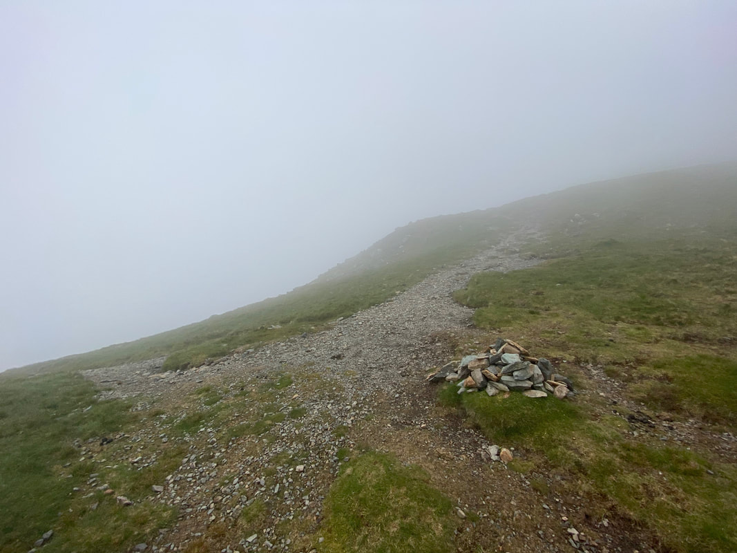
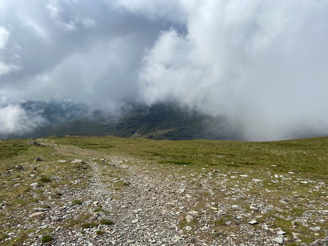
The path climbs steeply to reach the junction with the path coming up from Dale Head Tarn. The intersection is marked by a small cairn. As I climbed to this point I knew that I would be out of luck with any sort of view from Dale Head's summit but maybe the cloud would clear as I headed for Hindscarth - read on to find out.
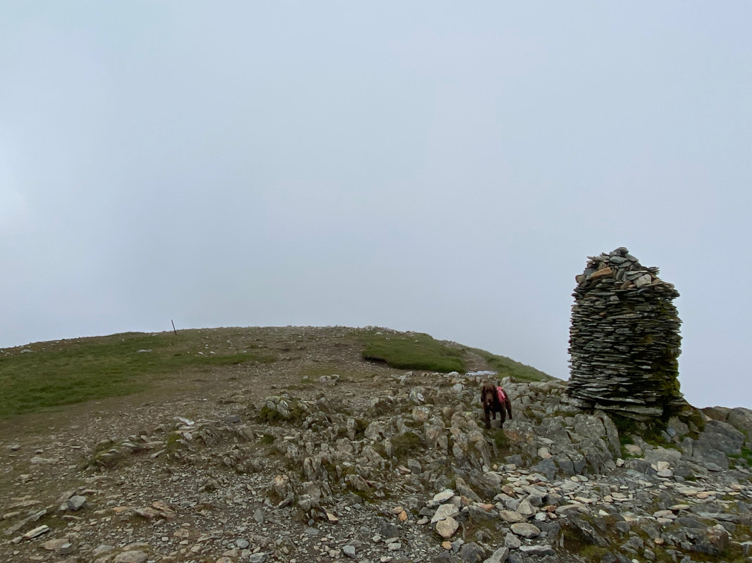
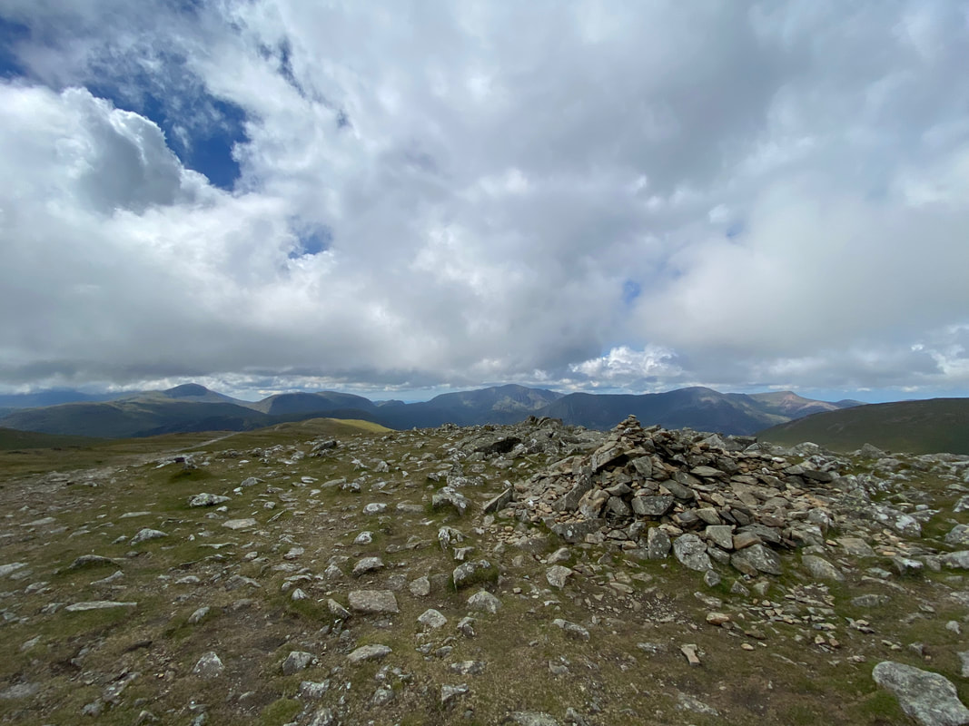
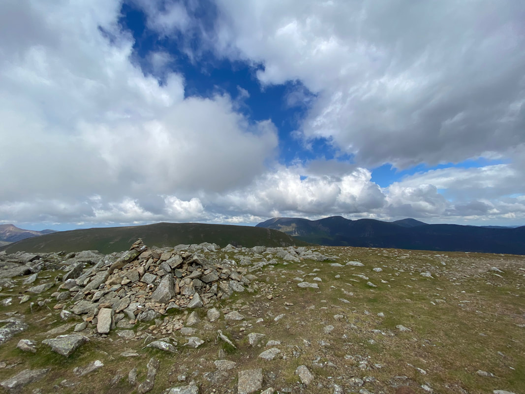
The large cairn on the summit of Dale Head
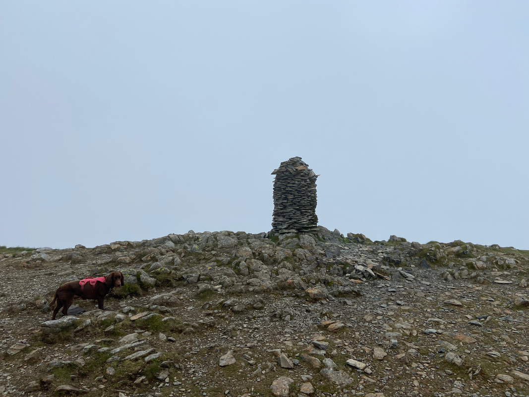
Another view of the cairn on the summit of Dale Head. Whilst it may look like it, I can assure the reader that Fudge's look of disdain is not because of the lack of a view - it is because he hasn't had his lunch yet.
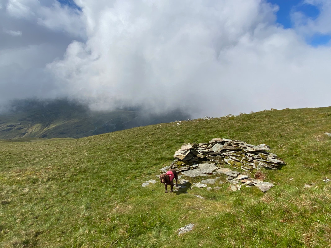
From Dale Head's summit I walked down towards Honister for a few yards to locate the shelter I would be using to have my lunch. The path up from Honister Slate Mine is a very steep way to climb Dale Head but is a lovely walk all the same.
Fudge continues to look grumpy as I fart about taking a picture of the shelter before giving him his food.
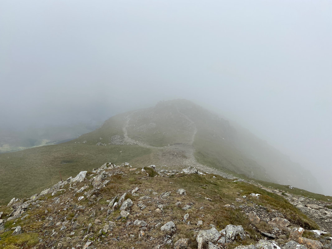
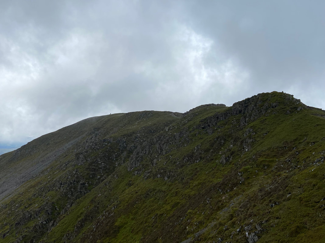
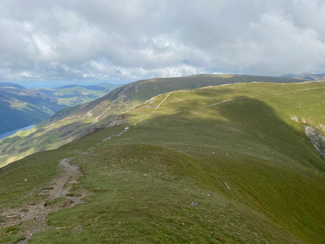
Lunch over, it was time to make my way to Hindscarth via the edge of the same name. As can just about be seen below, the path splits - the left hand path takes an easier route around the crags whilst the right hand one goes straight over the top of them.
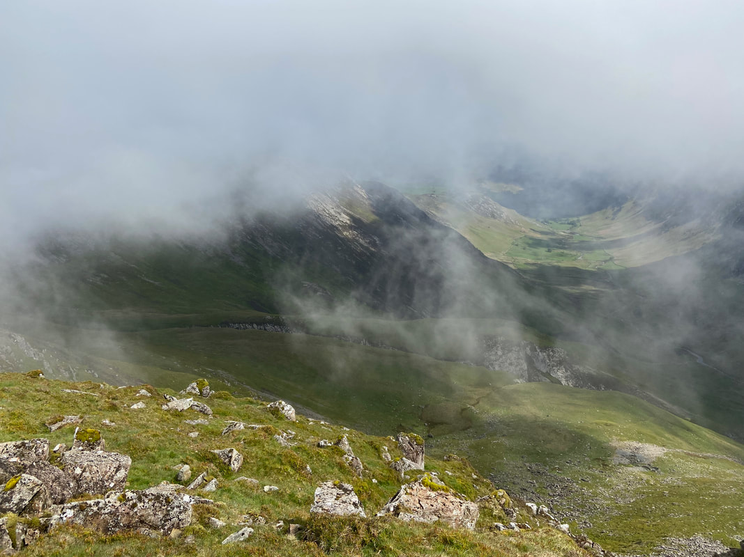
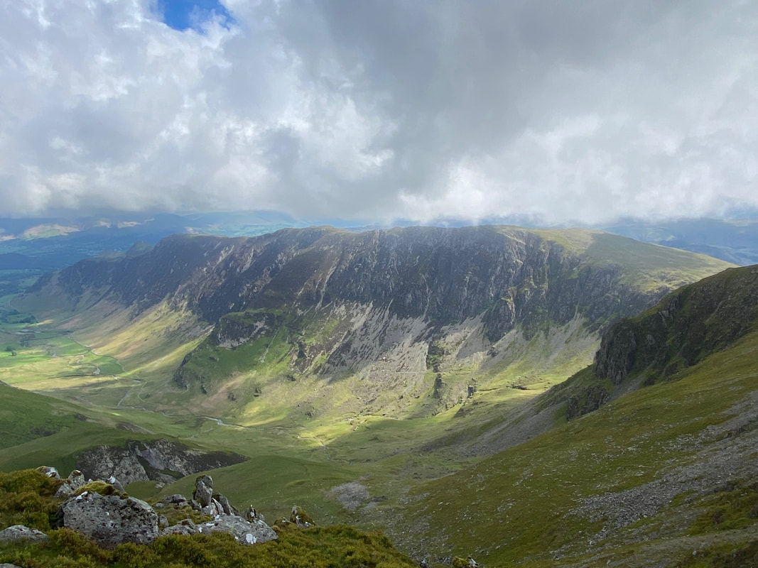
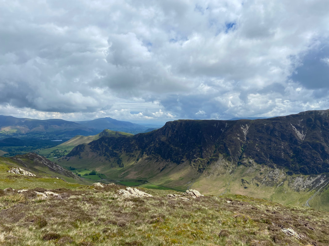
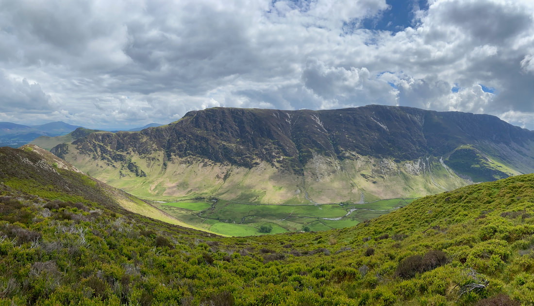
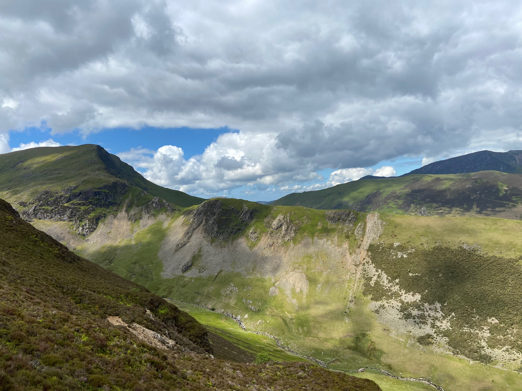
As I crossed Hindscarth Edge, the crags on the eastern slopes of Hindscarth & Newlands suddenly came into view and I began think that the low cloud was going to do one.
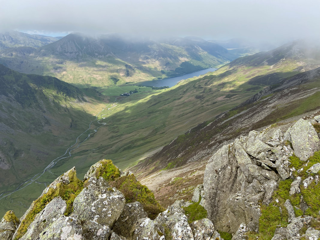
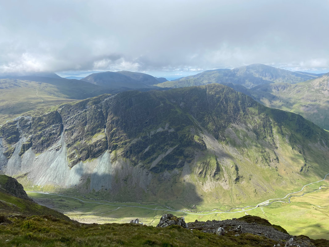
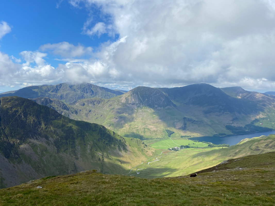
The Honister Pass cuts through the landscape below me with the lower slopes of Fleetwith Pike to the left. In the far distance to the left is the High Stile ridge with Buttermere sitting below. The slope to the far right above the lake is the southern flank of Robinson.
Looking over to Honister and the various quarries above the Honister Pass.
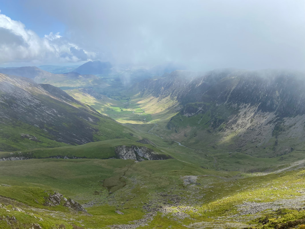
The Newlands Valley is now a lot clearer as I continue along Hindscarth Edge
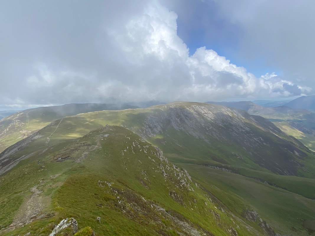
Just like that all the cloud disappeared to reveal the remainder of my route over to Hindscarth
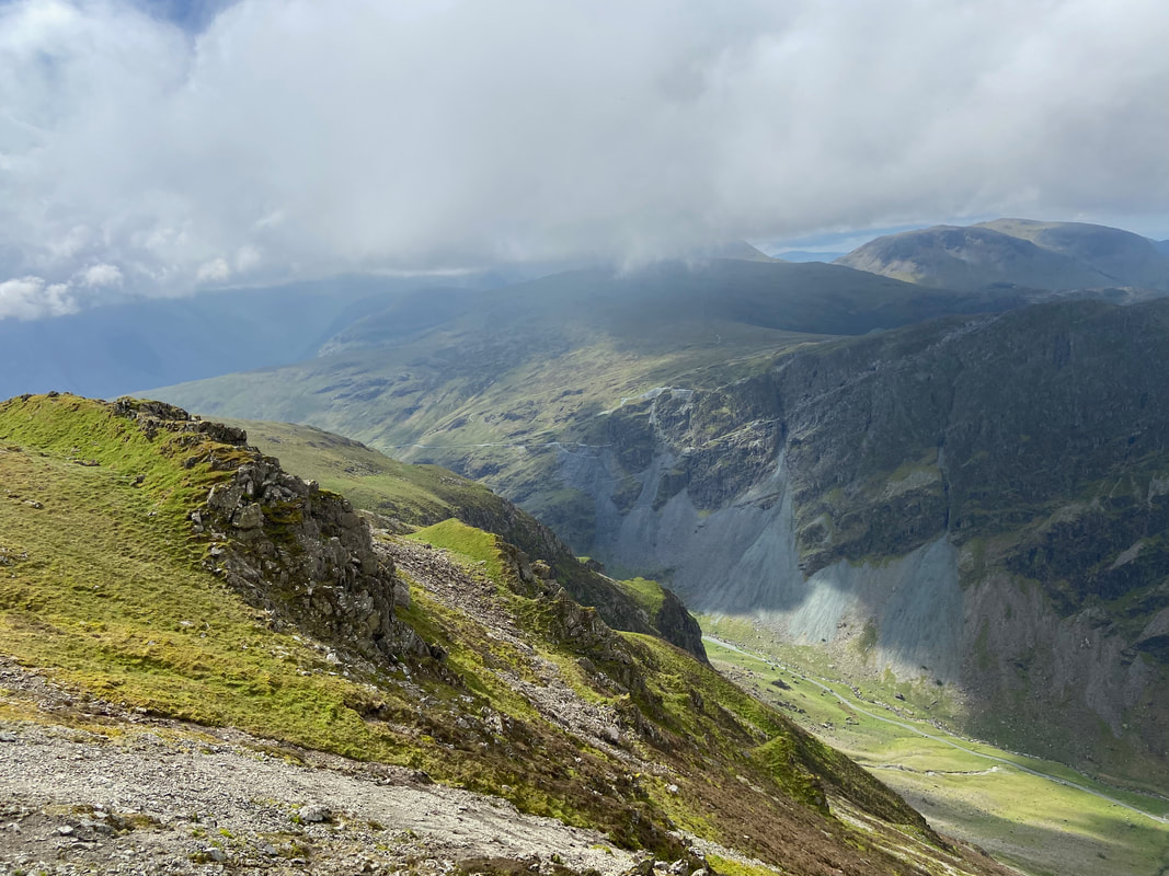
Fleetwith Pike now dominates the view over to the south to my left. The summit is to the right of centre with Fleetwith Edge right of that. The crag centre left is Honister Crag also known as Black Star. Pillar is in the distance to the right with Kirk Fell centre.
Looking back to a now clear of cloud Dale Head with the summit cairn just about visible
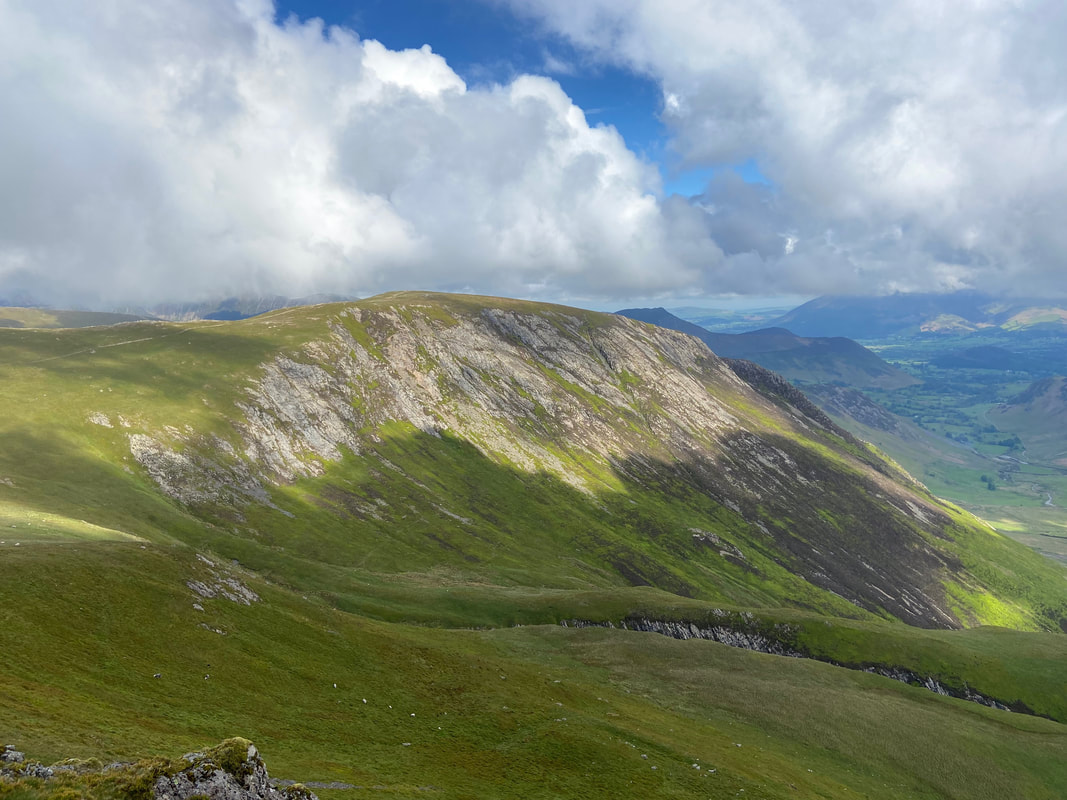
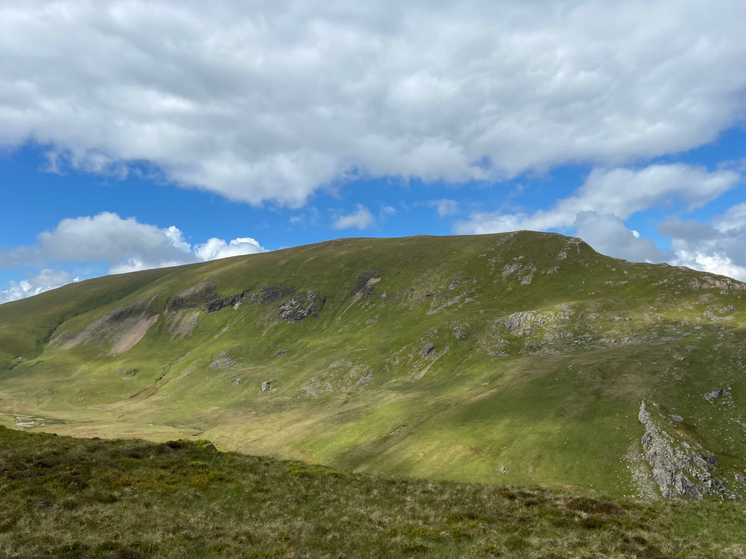
Maiden Moor, High Spy and my outward route across the upper reaches of Newlands
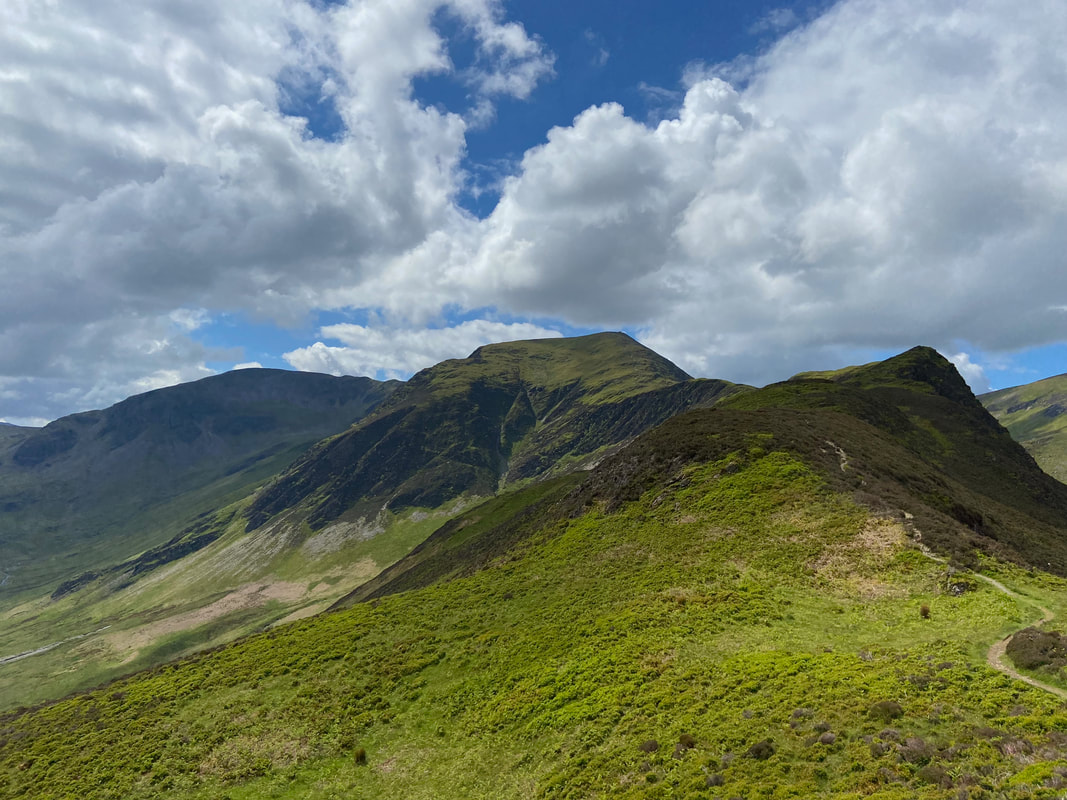
Hindscarth gets nearer now as the path starts to bend right. Causey Pike is right of centre with Skiddaw to the right.
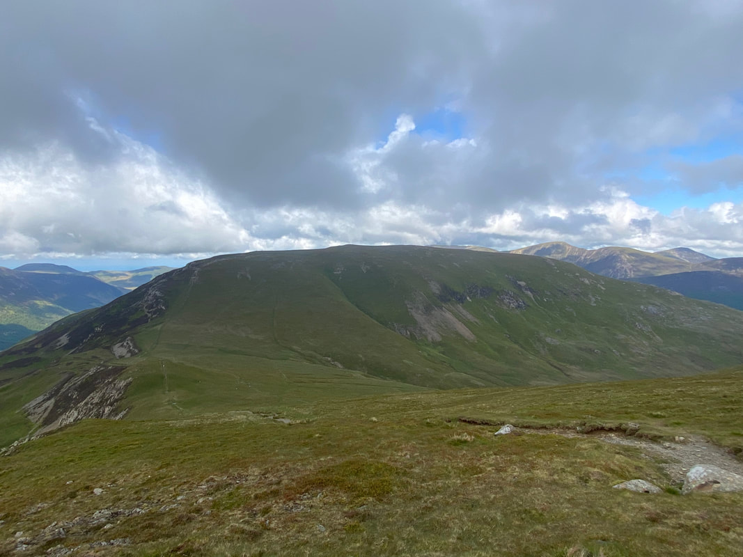
The final 300 yards or so of Hindscarth Edge descends to a path junction where a decision has to be made whether to take the lower path over to Hindscarth or to carry on for a few yards and take the higher route. I carried on towards Robinson to then turn along the crest on the higher route just as the path starts to descend Littledale Edge.
Another view towards Buttermere now that the cloud has gone and this time the High Stile ridge is now in view above the lake. The steep ascent from Gatesgarth up Fleetwith Edge is to the left.
The path junction for the lower or higher route to Hindscarth with Littledale Edge & Robinson ahead. The path junction is at Grid Reference NY 21497 15745.
Having walked along the higher path I reached the summit of Hindscarth complete with shelter
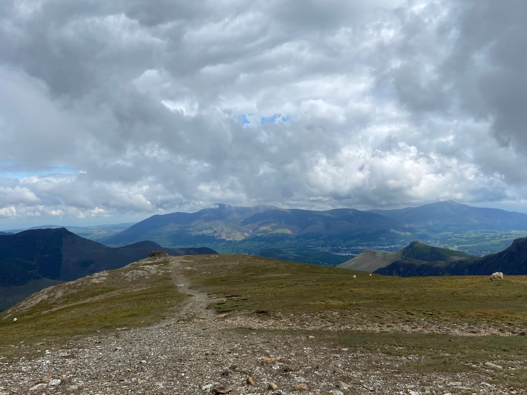
The summit of Hindscarth looking to Robinson with Grasmoor, Wandope, Crag Hill, Sail, Grisedale Pike and Scar Crags in the distance
Leaving the summit I headed over to the north east cairn to begin my descent back to Little Town. Skiddaw & Blencathra dominate the view to the rear
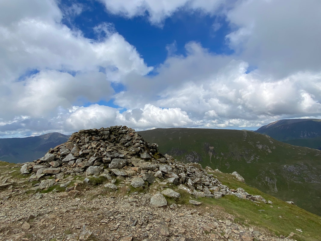
The north west cairn is huge and has been hollowed out to make a very good wind shelter
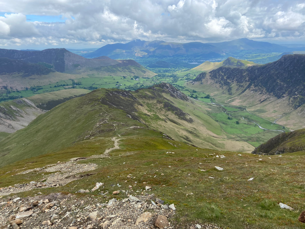
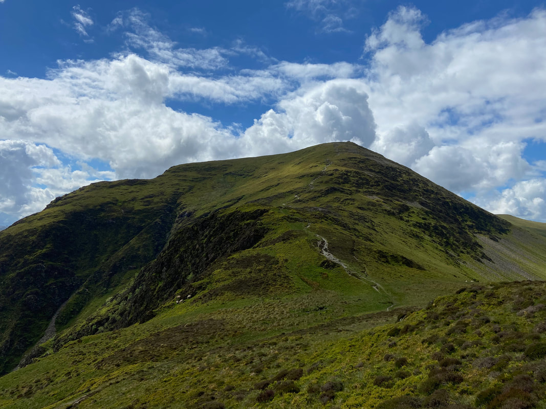
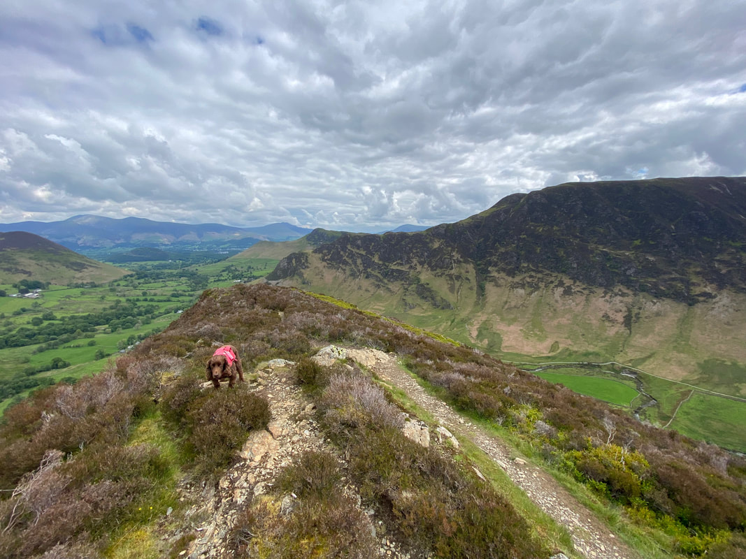
From the north west cairn I could now see my descent in its entirety and would take in High Crags, Red Knott & Scope End
Cat Bells & Maiden Moor across Newlands
Looking back to my descent of Hindscarth from High Crags
Robinson across Little Dale
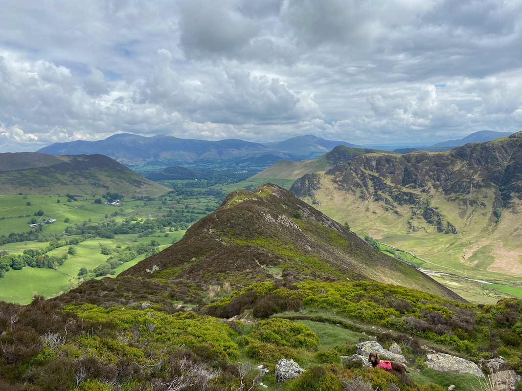
The ridge to Scope End from Red Knott
Cat Bells, Maiden Moor & High Spy from the approach to Scope End
Robinson and its superb north eastern ridge of Blea Crags & High Snab Bank
My outward path through Newlands with High Spy to the left and Dale Head & Hindscarth to the right
Looking back to Dale Head, Hindscarth, High Crags & Red Knott from near Scope End
Fudge on the summit of Scope End
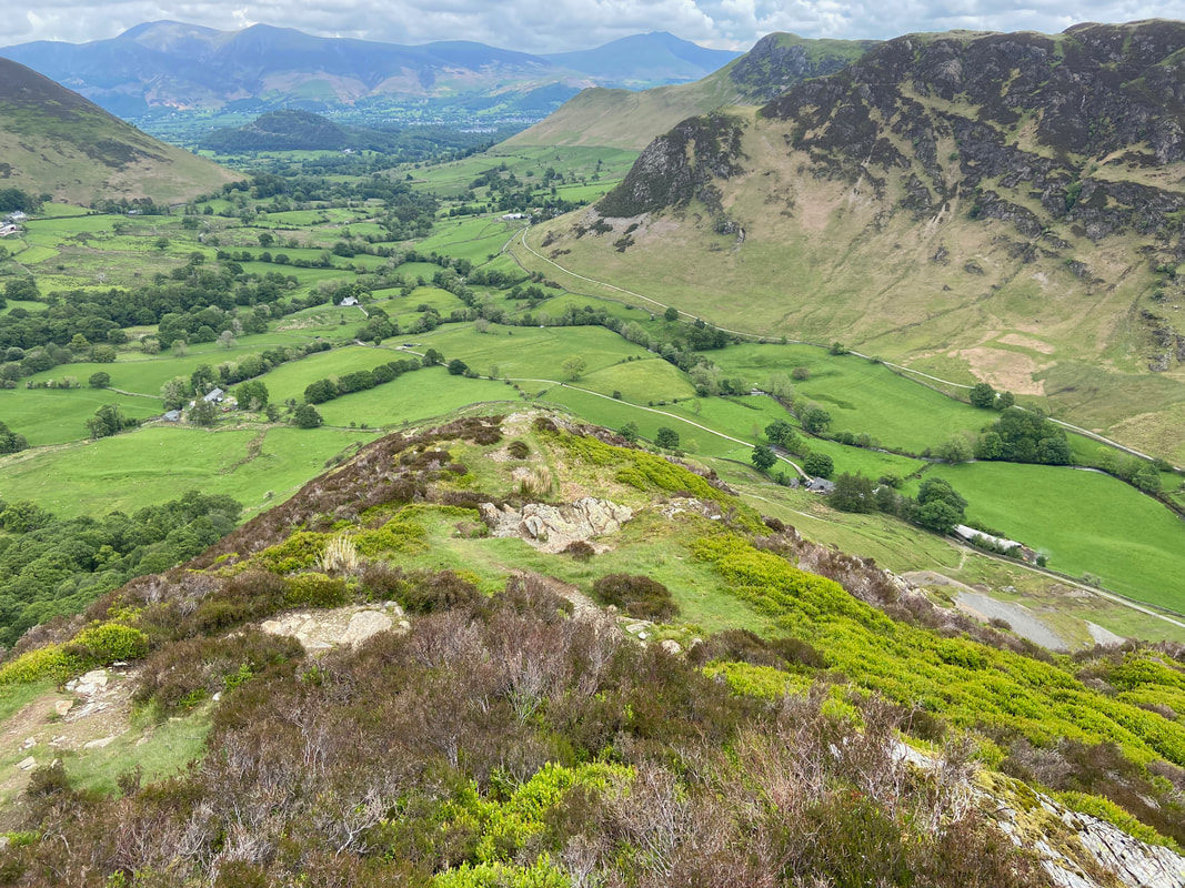
The descent of Scope End is steep but on a good path. Below to the right are the spoil heaps of the Goldscope Mine. The lead and copper mine was one of the oldest in the area and was unfortunately abandoned in 1864 due to flooding.
My route back to Chapel Bridge below Lowthwaite Crag
The main path continues on to Skelgill however I turned down to the left to reach the Car Park at Chapel Bridge. This was a fabulous day out on a route I had not walked before but one I would certainly do again.
