Raven Crag, Armboth Fell & High Tove - Wednesday 4 March 2020
Route
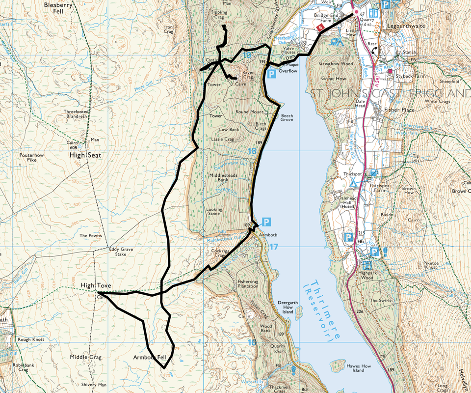
A591 - Bridge End Farm - Thirlmere Dam - The Benn (Sippling Crag) - Raven Crag - Castle Crag Fort - Armboth Fell - High Tove - Armboth - Thirlmere Dam - Bridge End Farm - A591
Parking
Verge parking (Free) on the A591 opposite the access road to Thirlmere Dam near Bridge End Farm - Grid Ref NY316195 (Nearest Post Code is CA12 4TG)
Mileage
9.2 miles
Terrain
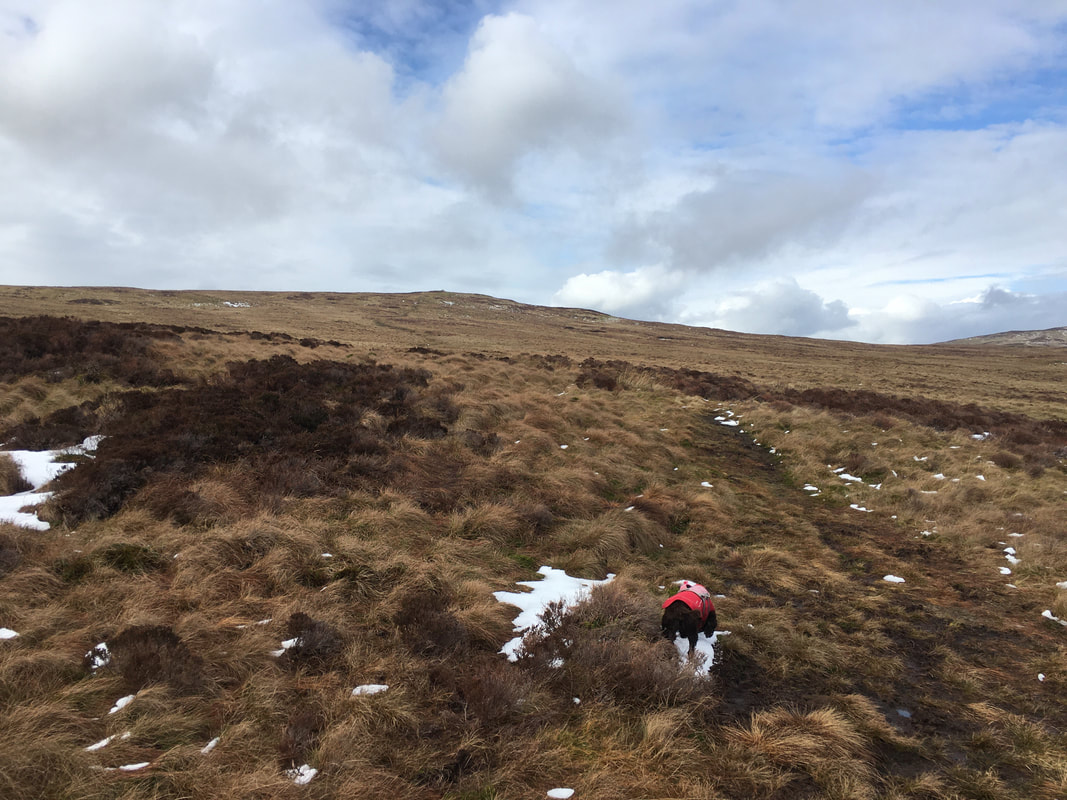
Forest & moorland paths and tracks. The paths to & from Armboth Fell & High Tove were a little squelchy but not as bad as some people make out.
Weather
Overcast with sunny spells. Light breezes with very good visibility.
Time Taken
5hrs 30mins
Total Ascent
1984ft (605m)
Wainwrights
3
Map
OL4 - The English Lakes (North Western)
Walkers
Dave, Angie & Fudge
|
GPX File
|
| ||
If the above GPX file fails to download or presents itself as an XML file once downloaded then please feel free to contact me and I will send you the GPX file via e-mail.
Route Map
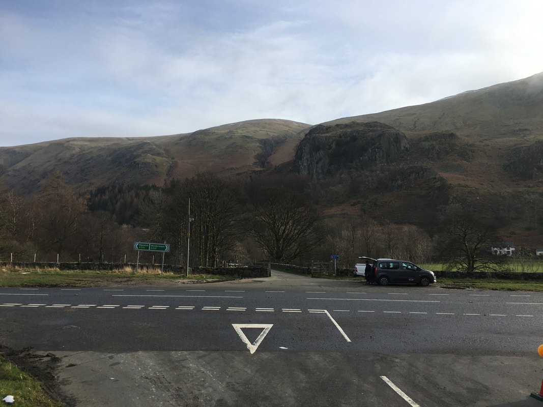
The verge parking on the A591 opposite the dam wall access road. There is room for about 5 sensibly parked cars.
As of March 2020 there is a lot of work going on in and around the northern end of Thirlmere. Ordinarily, cars would be able to park a lot closer to the access gate for Raven Crag however the walk along the dam wall is pleasant enough.
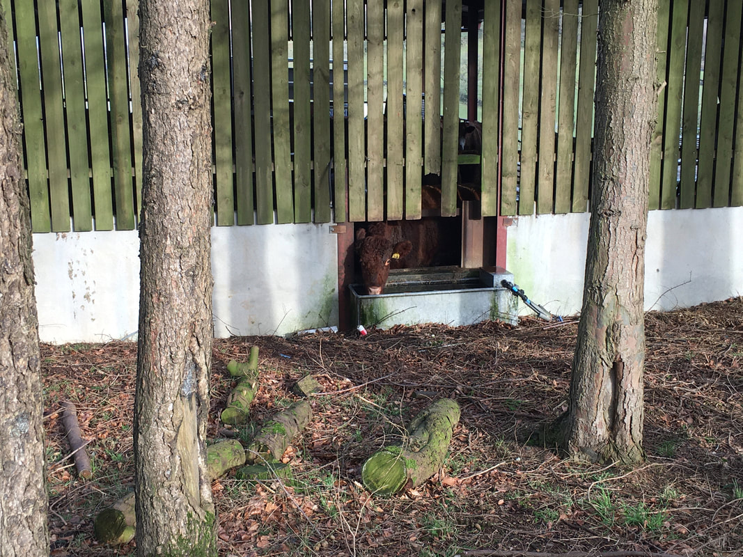
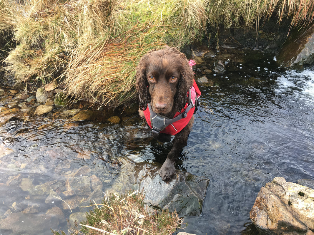
Don't mind me, I'm just having a quick slurp
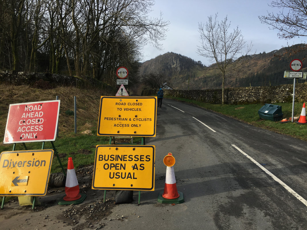
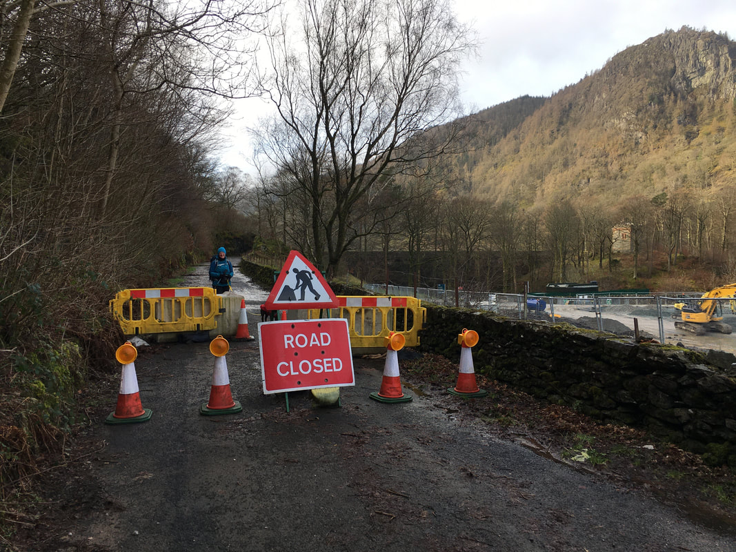
Just past the Caravan Site at Bridge End Farm is where the road is closed. However, there is access for pedestrians.
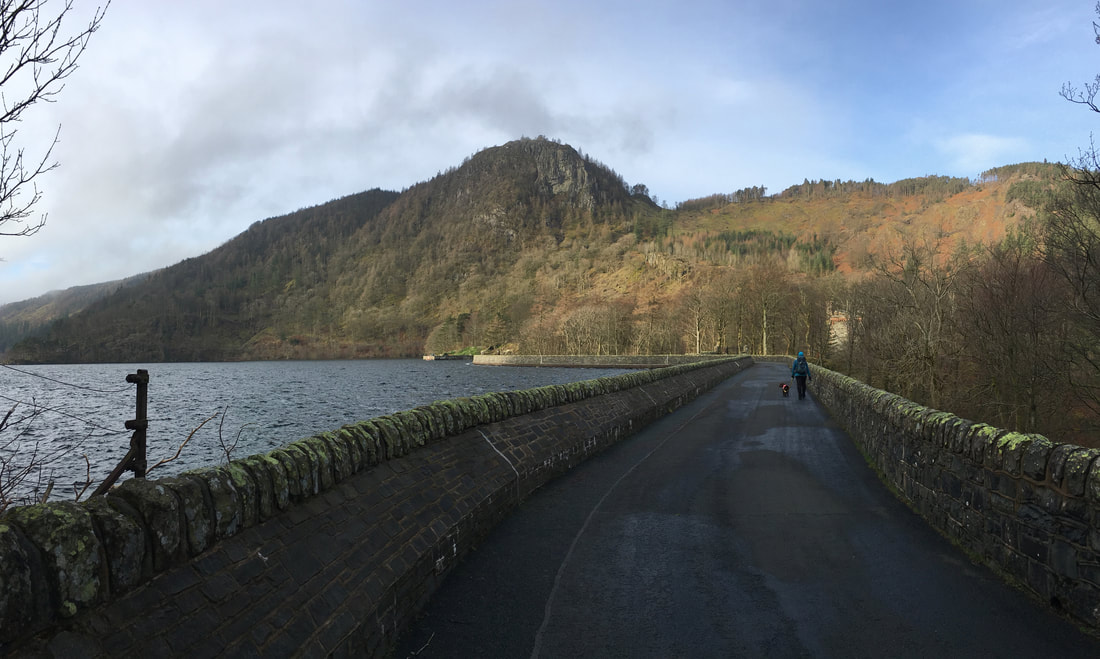
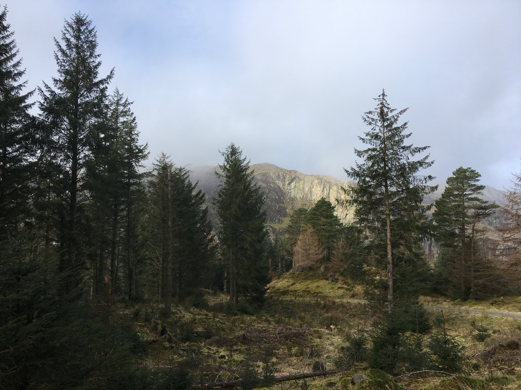
Heading along the dam wall causeway with Thirlmere to the left & Raven Crag ahead
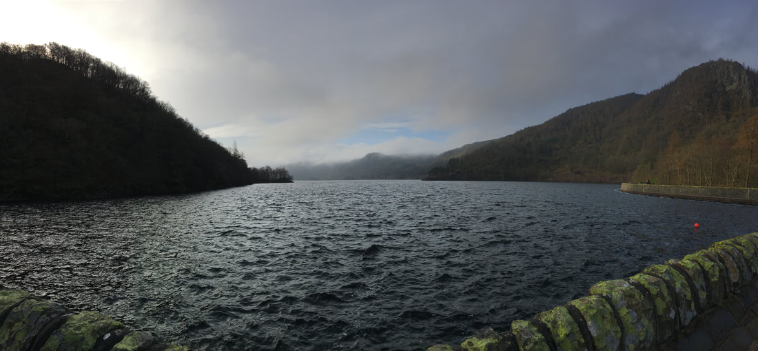
Looking south down Thirlmere - this view would have been very different before the "Thirlmere Scheme"
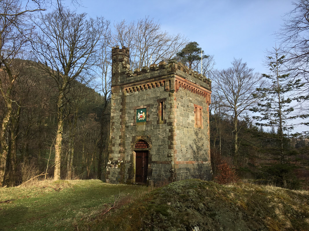
To the right behind the wall stands this beautifully constructed building which is probably the Pump House or Valve House.
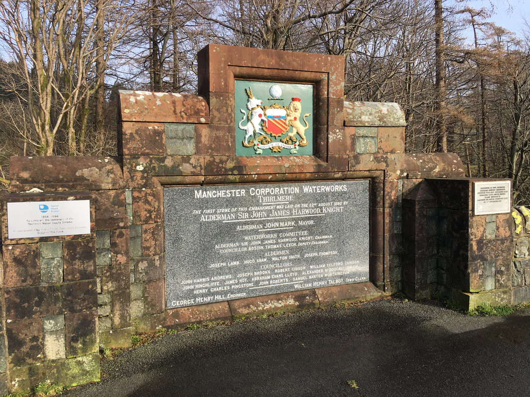
The coat of arms above the door are those of the City of Manchester whose water Thirlmere provides (along with other lakes in Cumbria)
The coat of arms above the door are those of the City of Manchester whose water Thirlmere provides (along with other lakes in Cumbria)
The commemorative plaque which is sited centrally on the right hand side of the dam wall. The plaque on the left was erected by United Utilities who manage the reservoirs in Cumbria and commemorates the centenary in 1994 of Thirlmere as an active reservoir providing water to Manchester. The dam's construction began in 1886 and the structure is 856 ft long and 66 ft high. The water is delivered via a straining well at the south end of the reservoir and passes through a tunnel under Dunmail Raise. The water aqueduct to Manchester is 99 miles long and is gravity fed.
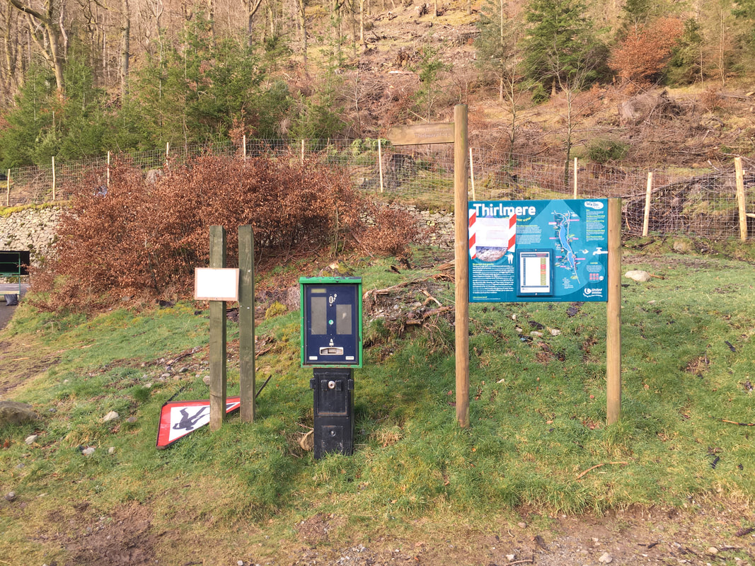
At the end of the dam causeway is a Car Parking area which is normally used by people climbing Raven Crag - it was blocked off by wooden stakes on the day of our walk and I can only assume will remain closed until full access is restored in and around the dam.
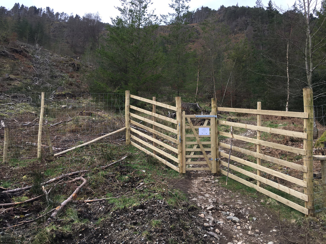
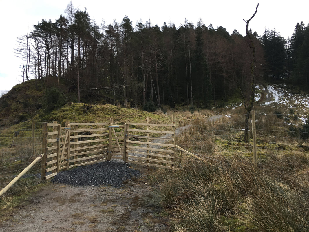
The newly positioned gate which gives access to the path to Raven Crag.
The gate is opposite a small parking area which has room for a few cars. The Grid Reference for the gate is NY307191.
The gate is opposite a small parking area which has room for a few cars. The Grid Reference for the gate is NY307191.
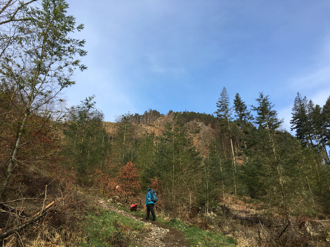
Heading up the access path to Raven Crag - The Benn (Sippling Crag) is in the centre of shot and is where we were off to first.
Looking over the dam works to The Dodds
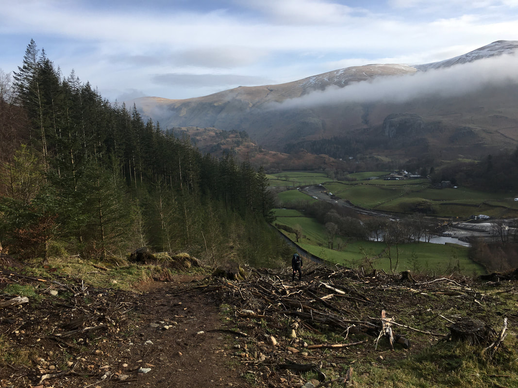
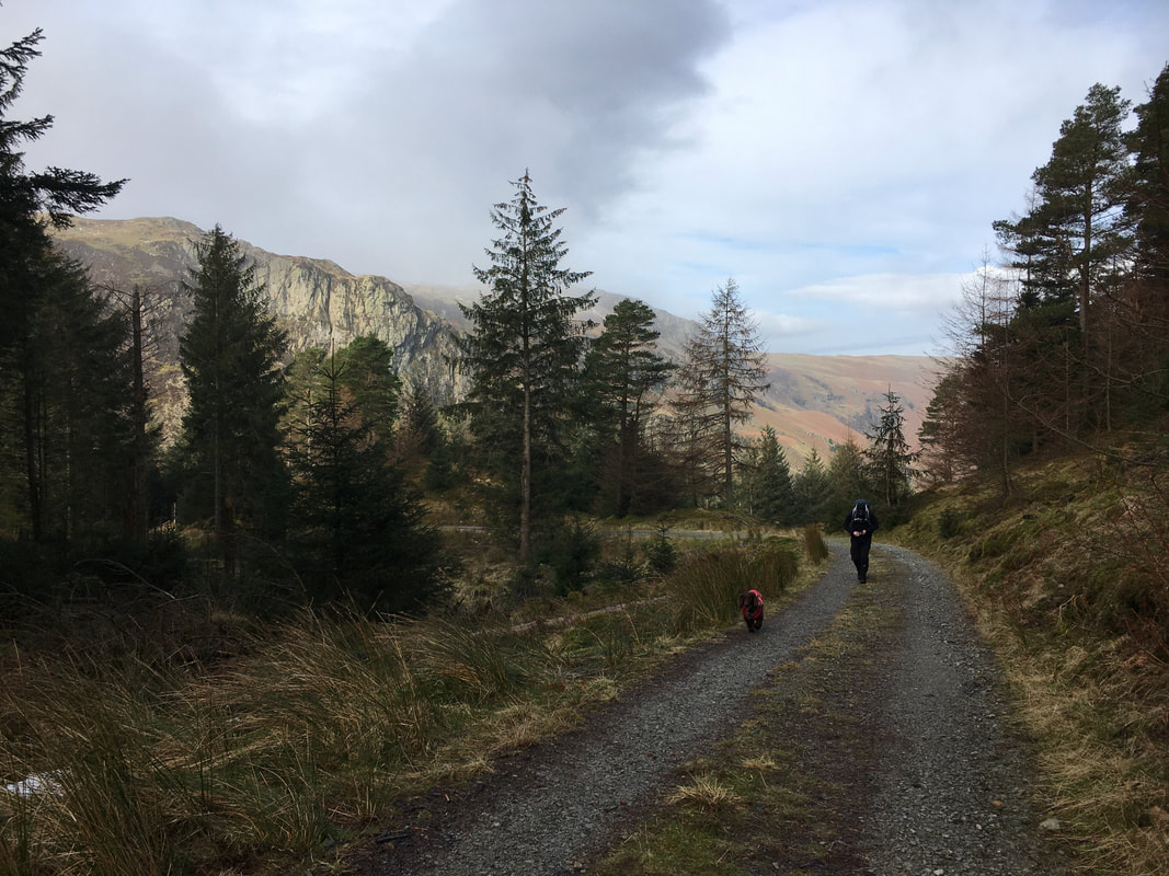
The path is a tad rough in parts having been hacked out of the forest but is clear on the ground and easy to negotiate
For such a modest climb the views over to The Dodds & the Helvellyn Range are superb. Great How is the wooded fell in the centre right.
The access gate at the top of the climb.
We had just come through the left hand gate with the right hand gate heading to Raven Crag. The path I am stood on leads along a track towards The Benn.
We had just come through the left hand gate with the right hand gate heading to Raven Crag. The path I am stood on leads along a track towards The Benn.
Looking to Iron Crag on Bleaberry Fell from the forest track
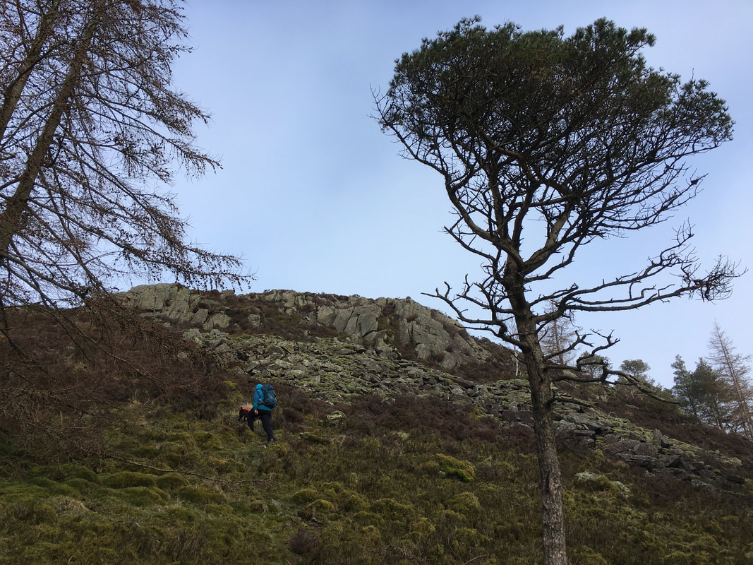
At a sharp bend in the track an inconspicuous path heads through the forest to then arrive in a clearing. From the clearing a path of sorts climbs over rough ground to the summit of Sippling Crag (The Benn). The rocks ahead of Angie provided some gentle scrambling - nothing more.
Looking to Raven Crag and Thirlmere from the ascent of The Benn
The summit of The Benn looking to Bleaberry Fell
With The Benn conquered we headed back towards Raven Crag.
The "inconspicuous path" to The Benn I mentioned earlier is over my right shoulder on the track bend.
The "inconspicuous path" to The Benn I mentioned earlier is over my right shoulder on the track bend.
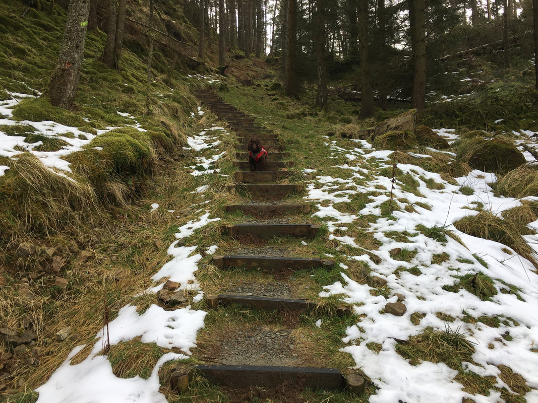
"Mr Impatient" on the stepped path that leads to Raven Crag
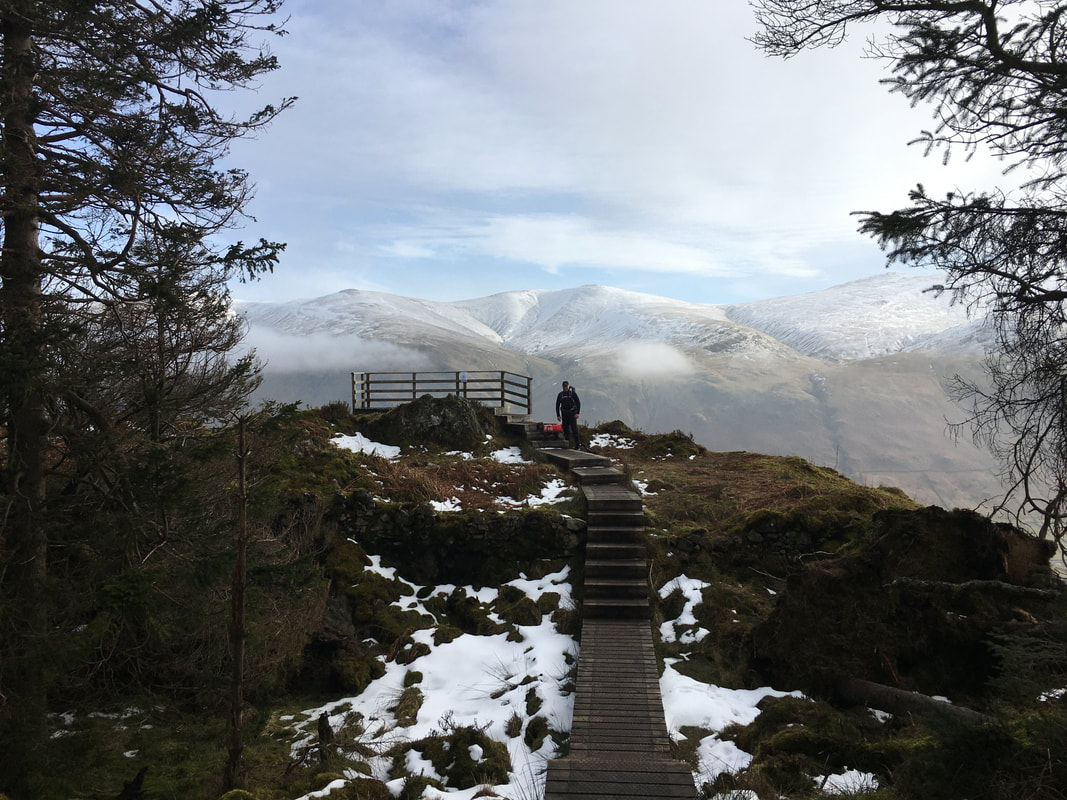
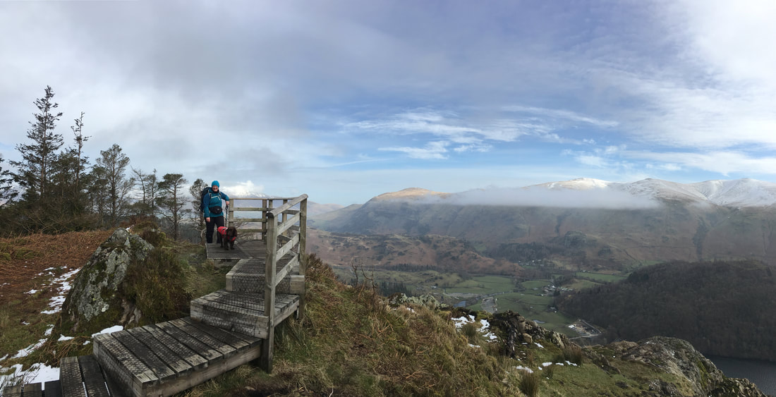
The viewing platform and the small outcrop of rock that marks the summit of Raven Crag. The Dodds provide the superb backdrop.
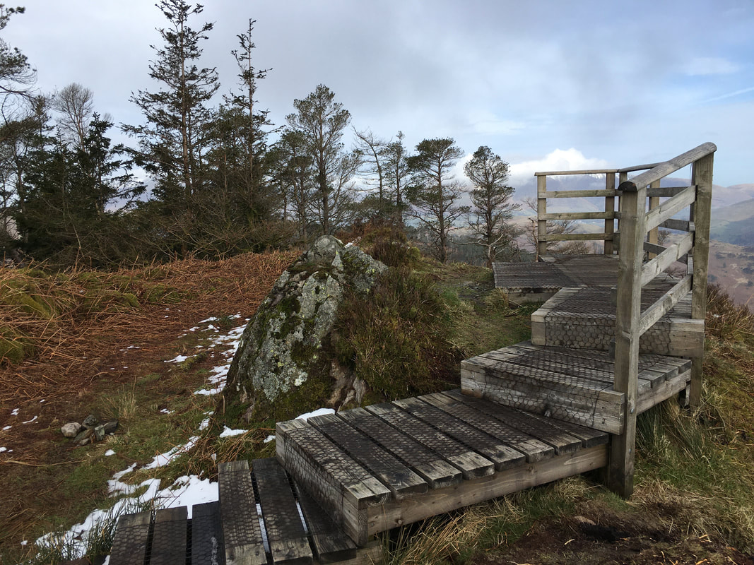
The summit of Raven Crag
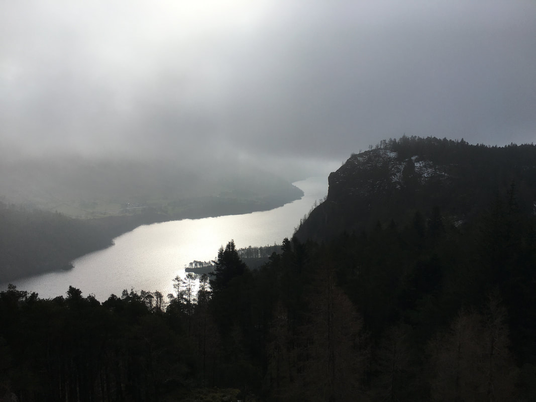
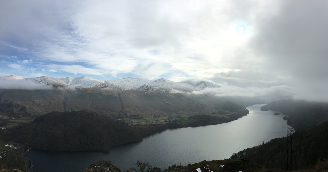
The classic view from Raven Crag over Thirlmere.
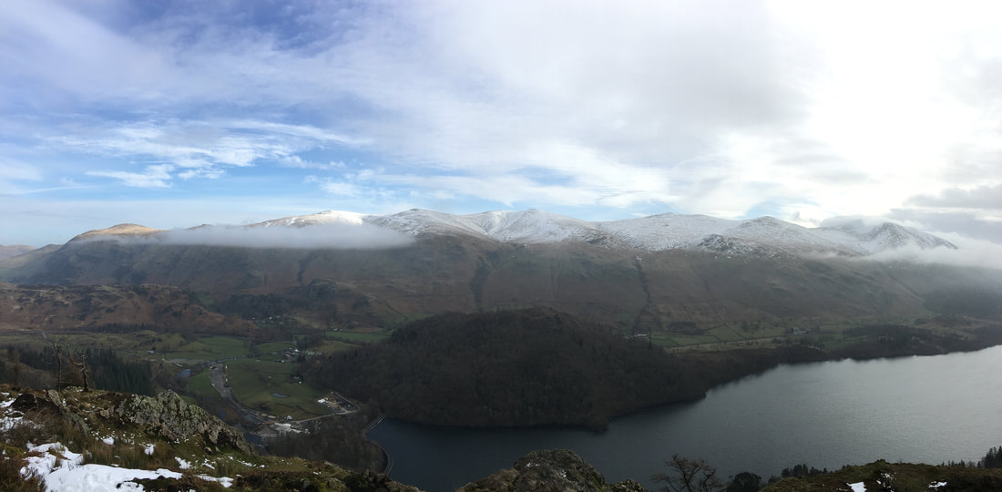
Great How is the wooded fell to the left with The Dodds & the Helvellyn Range behind.
Great How is the wooded fell to the left with The Dodds & the Helvellyn Range behind.
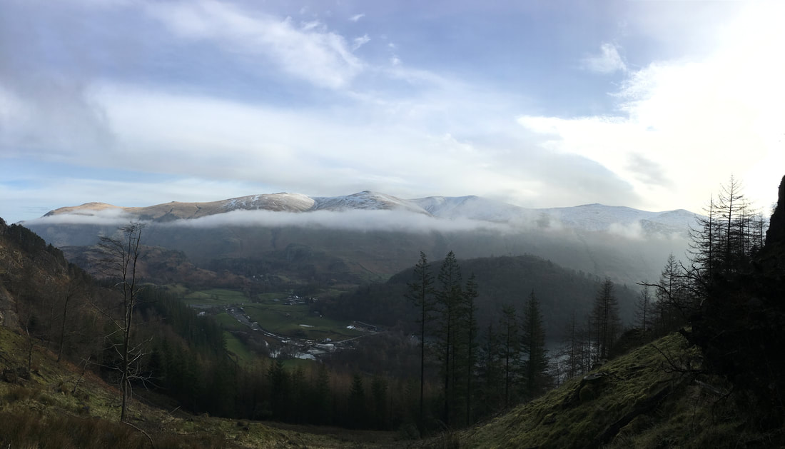
The view north from the viewing platform on the summit of Raven Crag.........
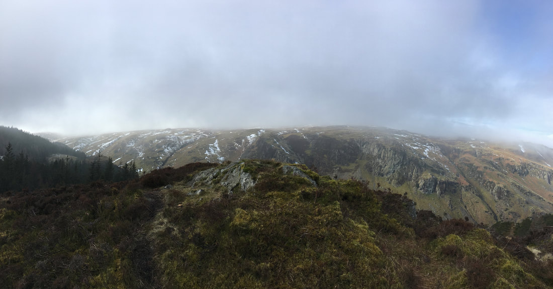
........ and a panorama of the lot
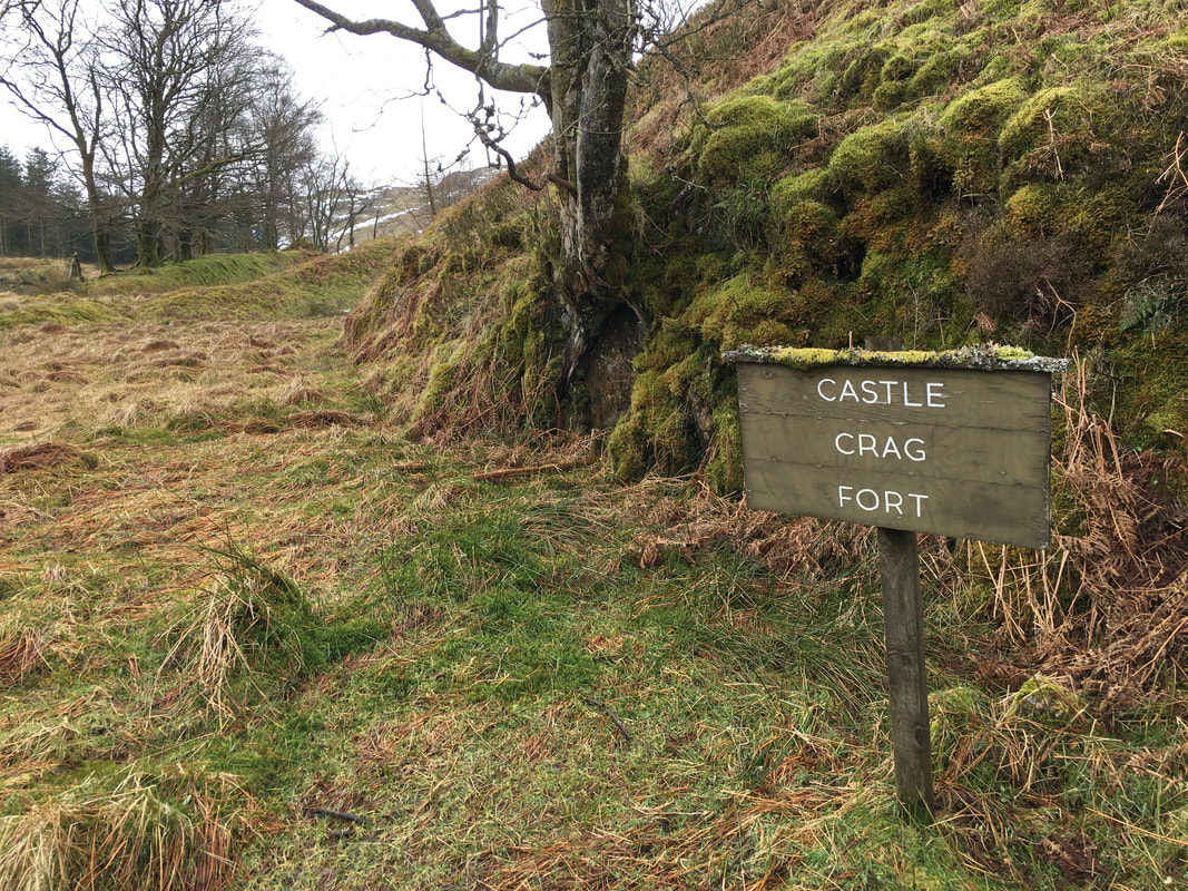
Once down from Raven Crag we thought we would visit Castle Crag Fort - a gate and footpath sign show the way
Here we are but to be honest there is not much to indicate a fort was here apart from earth ramparts
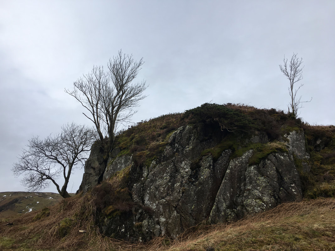
Castle Crag Fort outcrop
Wainwright remarked that "the average visitor will be sadly disappointed with it" (Raven Crag 3).
Wainwright remarked that "the average visitor will be sadly disappointed with it" (Raven Crag 3).
However there is an extremely good view of High Seat & Bleaberry Fell from Castle Crag Fort with Mere Gill splitting the two fells
From Castle Crag Fort we regained the forest track by reversing our route back to the access gate indicated earlier.
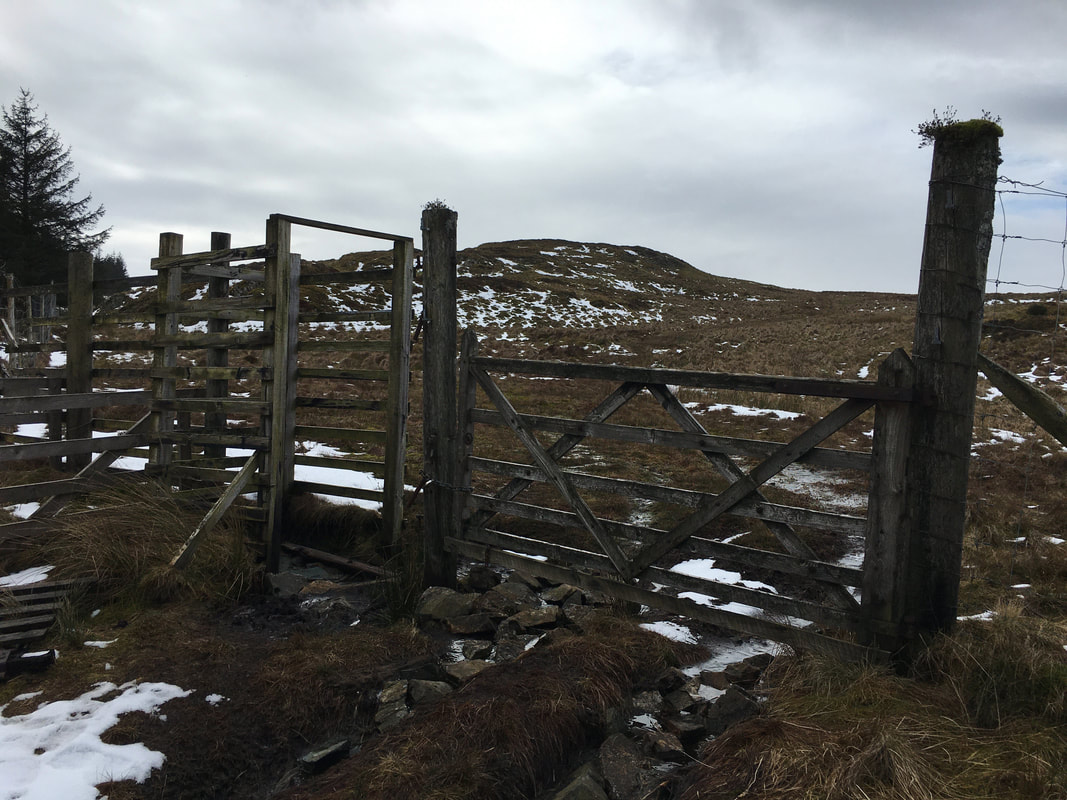
A forest track is then followed for just over half a mile to another gate which gives access to the open fellside.
The Grid Reference of the gate is NY 29927 18028.
A forest track is then followed for just over half a mile to another gate which gives access to the open fellside.
The Grid Reference of the gate is NY 29927 18028.
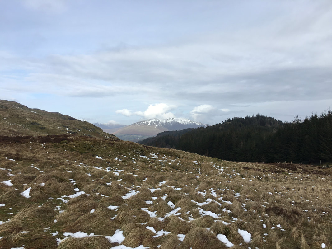
Looking to Blencathra - the gate we just passed through can be seen to the right on the fence line
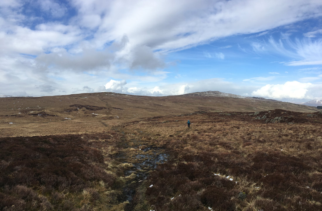
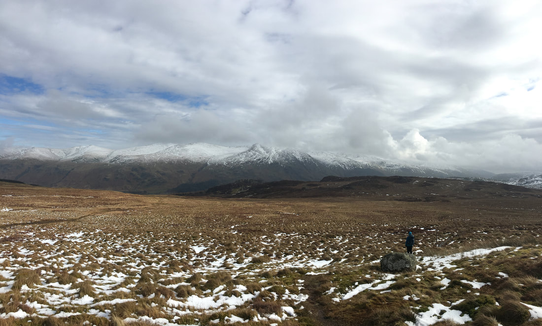
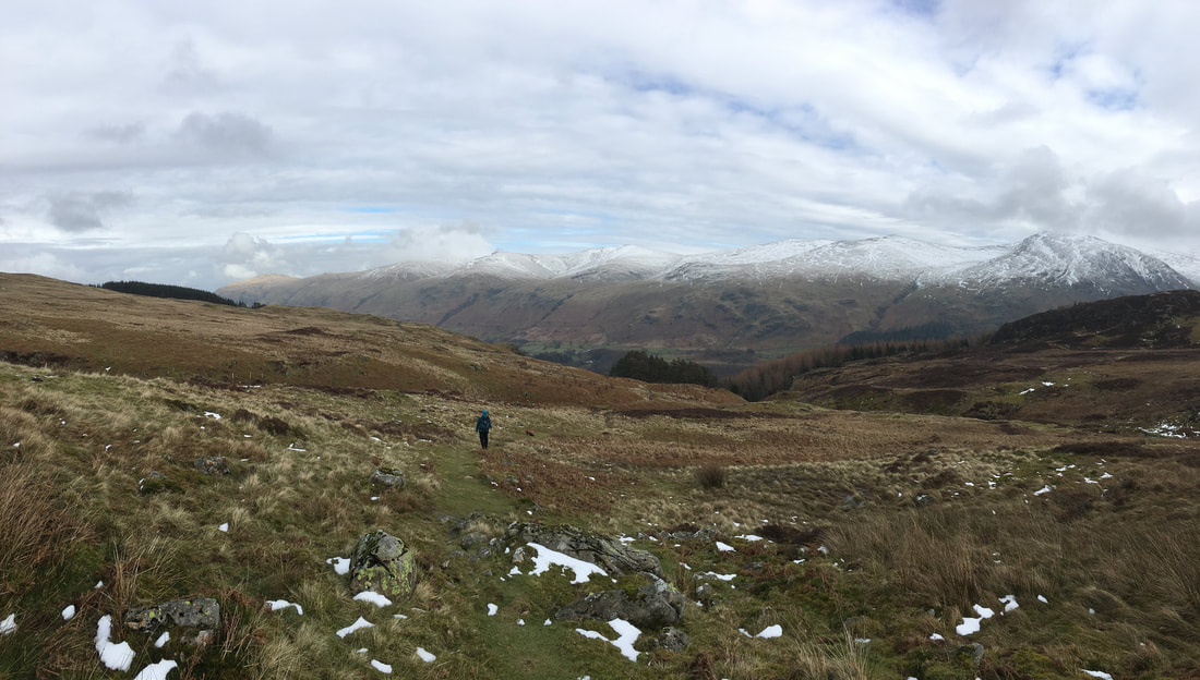
The long transit over the fellside to Armboth Fell - High Tove is to the left with High Seat over to the right
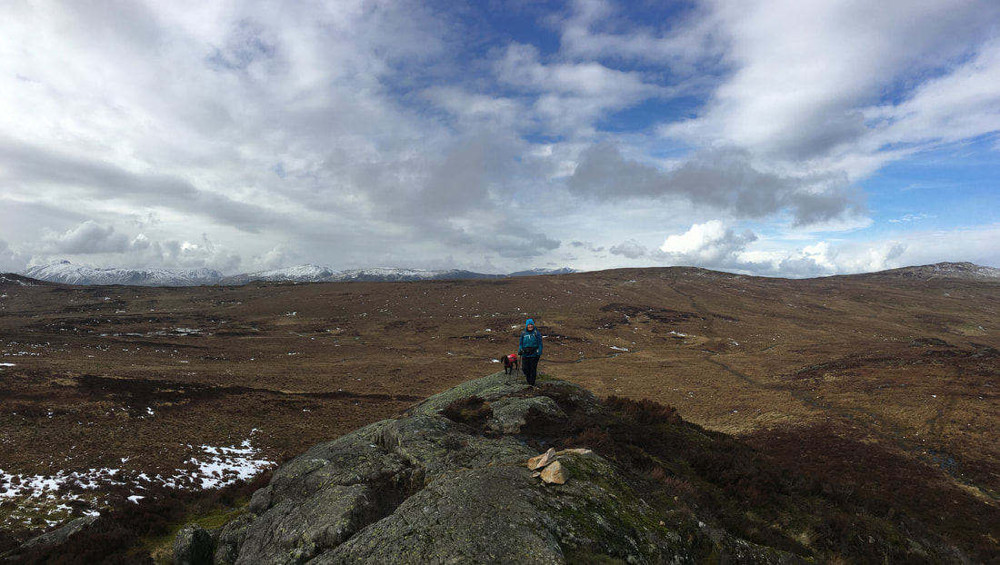
Armboth Fell has two summits. This is the northern Birkett summit.
Looking back to the northern summit of Armboth Fell
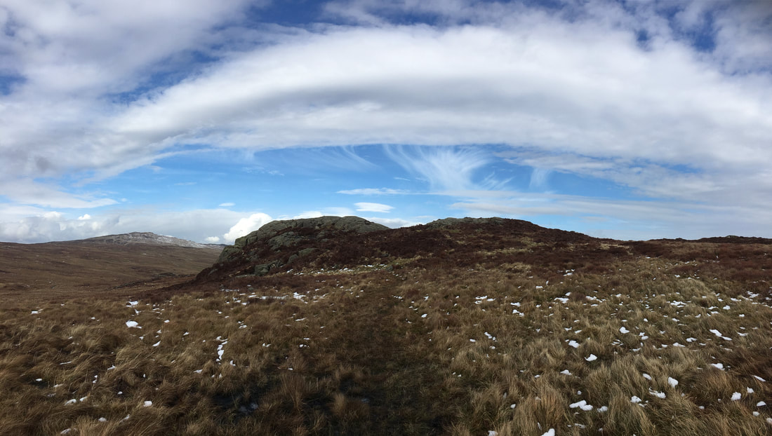
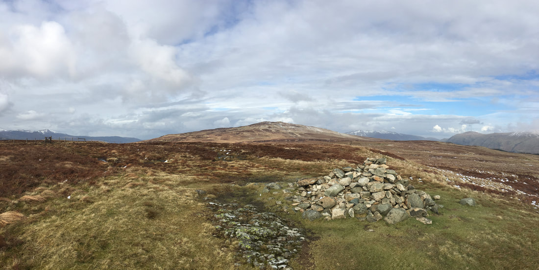
The Wainwright summit of Armboth Fell
On the path to High Tove which is up ahead.
This whole area has a reputation for being extremely boggy but is not that bad to be honest. The worst of the bogs are to be found north of High Tove in an area called The Pewits - however even that isn't too bad but if you are not bog averse then wait until after a dry spell to walk between High Seat & High Tove
This whole area has a reputation for being extremely boggy but is not that bad to be honest. The worst of the bogs are to be found north of High Tove in an area called The Pewits - however even that isn't too bad but if you are not bog averse then wait until after a dry spell to walk between High Seat & High Tove
Looking to Helvellyn from High Tove - our path back to Thirlmere is to the left
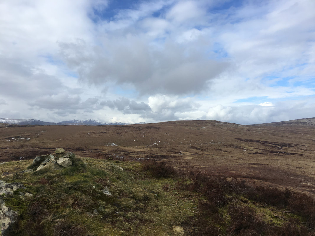
The summit of High Tove looking to High Seat
The gate to the left leads to the path which takes you down to Watendlath
The gate to the left leads to the path which takes you down to Watendlath
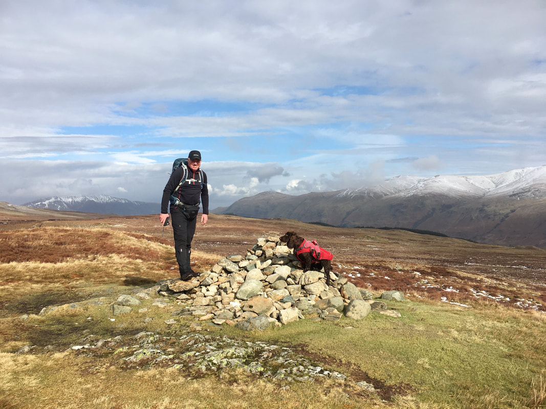
With Fudge on the summit of High Tove - he is giving me the eyes for some reason (probably his tea time)
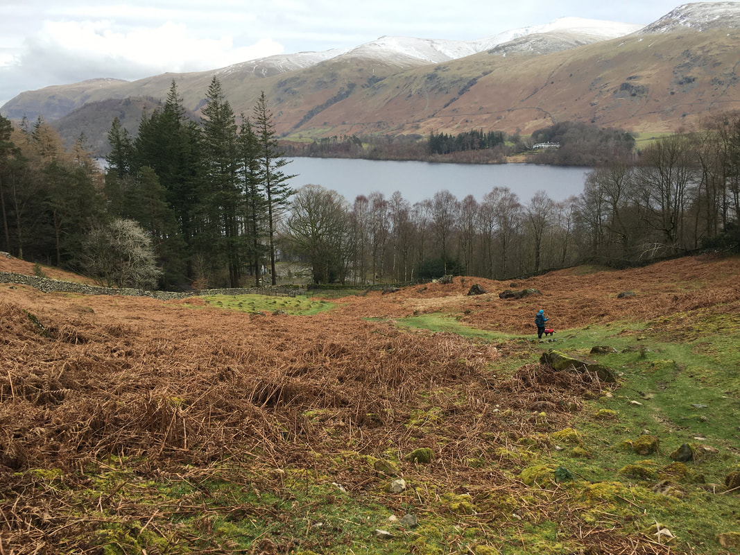
Time to get back down to Thirlmere - the path from here down to the lake is easy to follow
That look Fudge gives when he wants you to arse about with him in the water
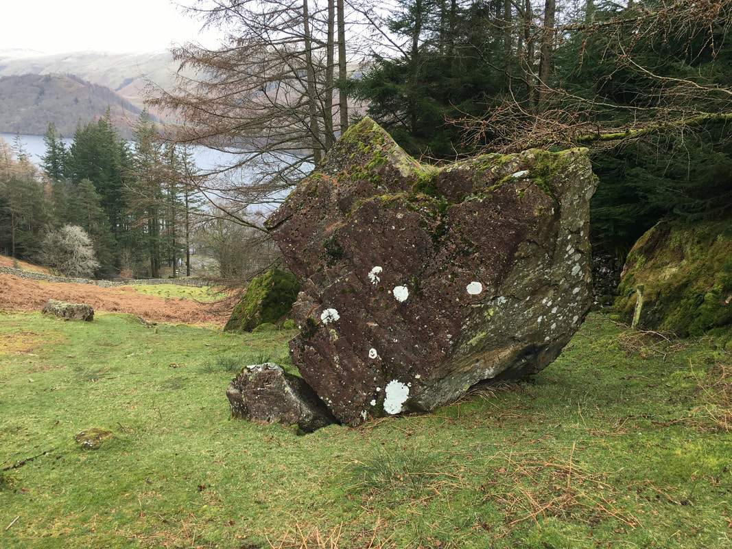
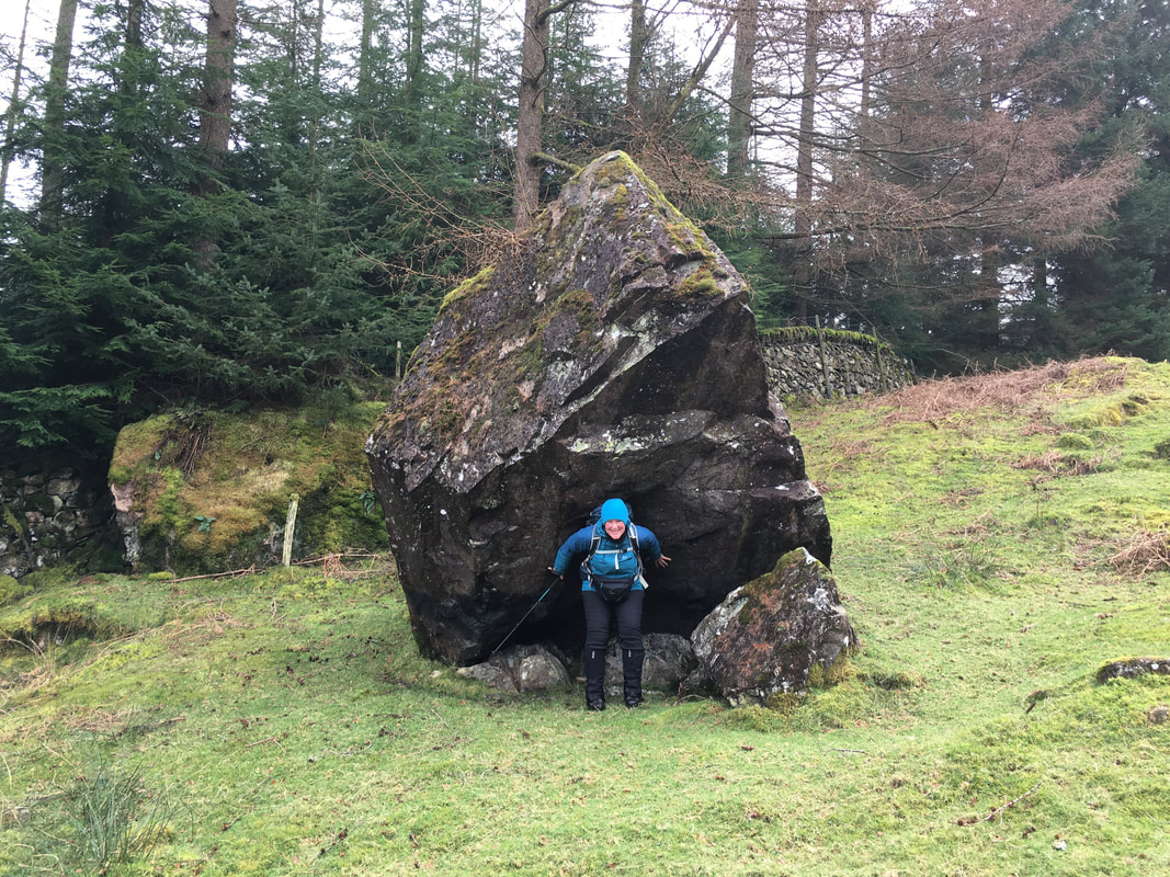
Wainwright's "balanced boulder" (Armboth Fell 2)
The boulder is approximately 12 feet high and can be found at Grid Reference NY 30385 17048
The boulder is approximately 12 feet high and can be found at Grid Reference NY 30385 17048
I thought I saw the boulder move slightly therefore Angie held it up and steadied it - seems ok now
Approaching the road down at Armboth
A path can be found in the far left hand corner of the Car Park which heads along the lake shore back to the Thirlmere Dam wall
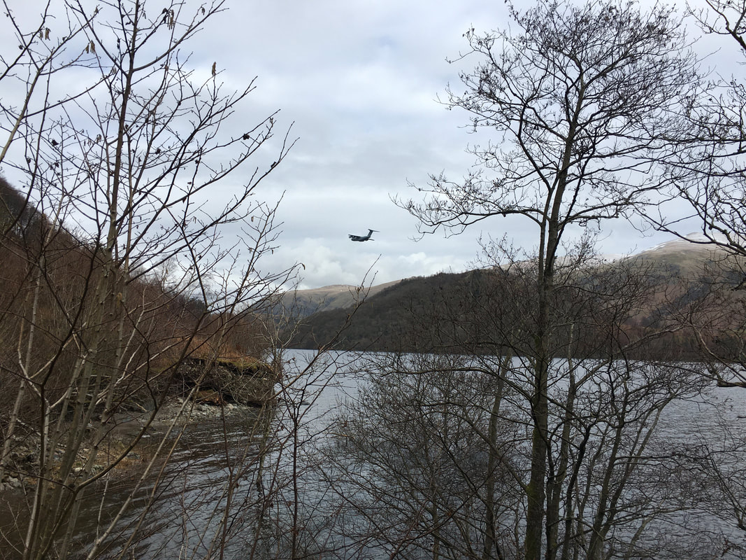
Nice to see the RAF out and about - Gawd Bless 'em
