Black Fell via Tarn Hows - Saturday 9 November 2013
Route
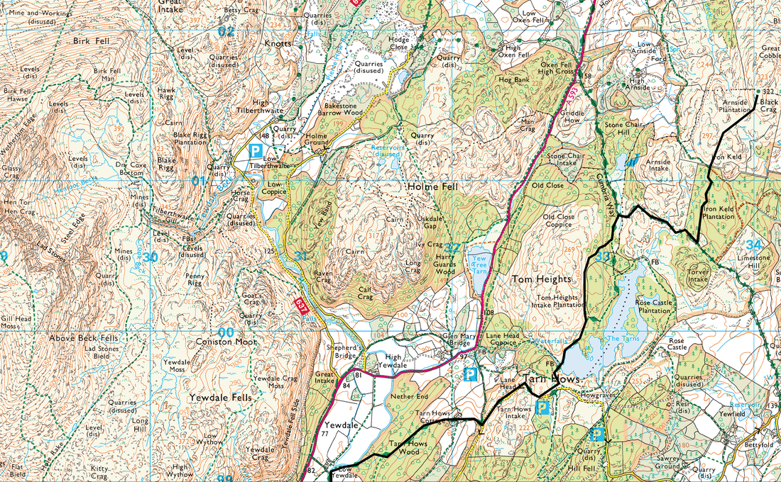
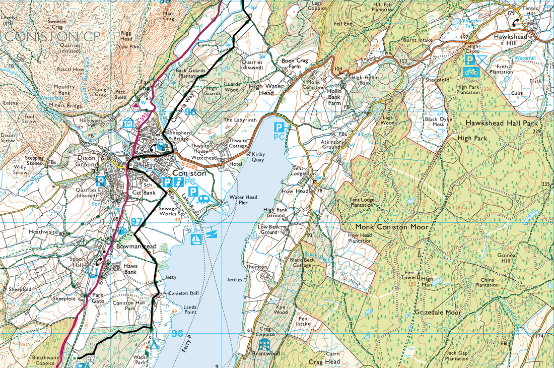
Park Coppice - Coniston Hall - Coniston - Low Yewdale - Tarn Hows - Iron Keld - Black Crag - Iron Keld - Tarn Hows - Low Yewdale - Coniston - Coniston Hall - Park Coppice
Parking
We started the walk from the Caravan Site at Park Coppice but the walk can leave from the centre of Coniston where there is plenty of parking.
Mileage
13.6 miles (approx 4 miles shorter from Coniston)
Terrain
Good paths throughout
Weather
Outward route - sunny & overcast yet cold. Inward route - pouring rain.
Time Taken
6hrs
Total Ascent
2824ft (861m)
Wainwrights
1
Map
OL6 - The English Lakes (South Western Area)
Walkers
Dave, Angie & Fudge
|
GPX File
|
| ||
If the above GPX file fails to download or presents itself as an XML file once downloaded then please feel free to contact me and I will send you the GPX file via e-mail.
Route Map
Leaving Coniston on The Cumbria Way.
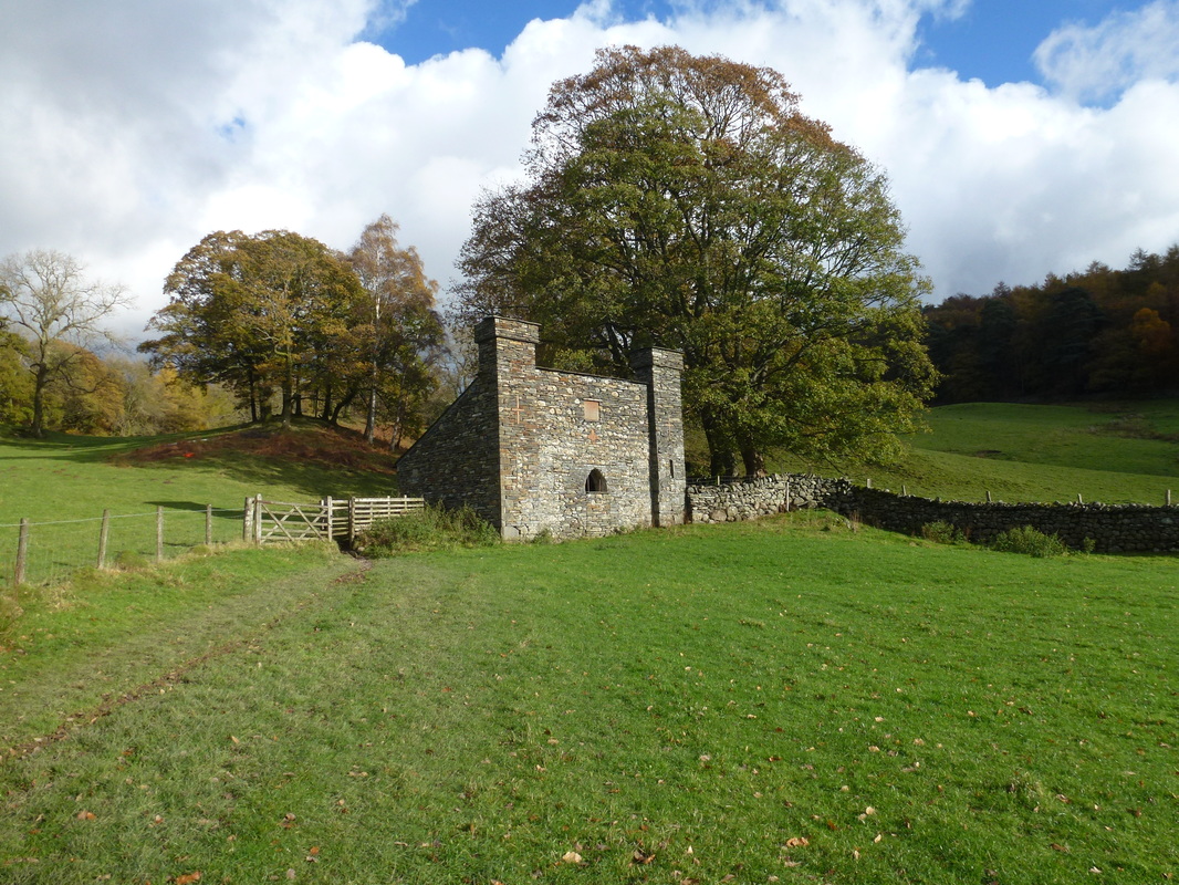
The building here is actually a Dog House and was built by the owners of the Monk Coniston Estate to provide the Coniston Fox Hounds with a home.
The building here is actually a Dog House and was built by the owners of the Monk Coniston Estate to provide the Coniston Fox Hounds with a home.
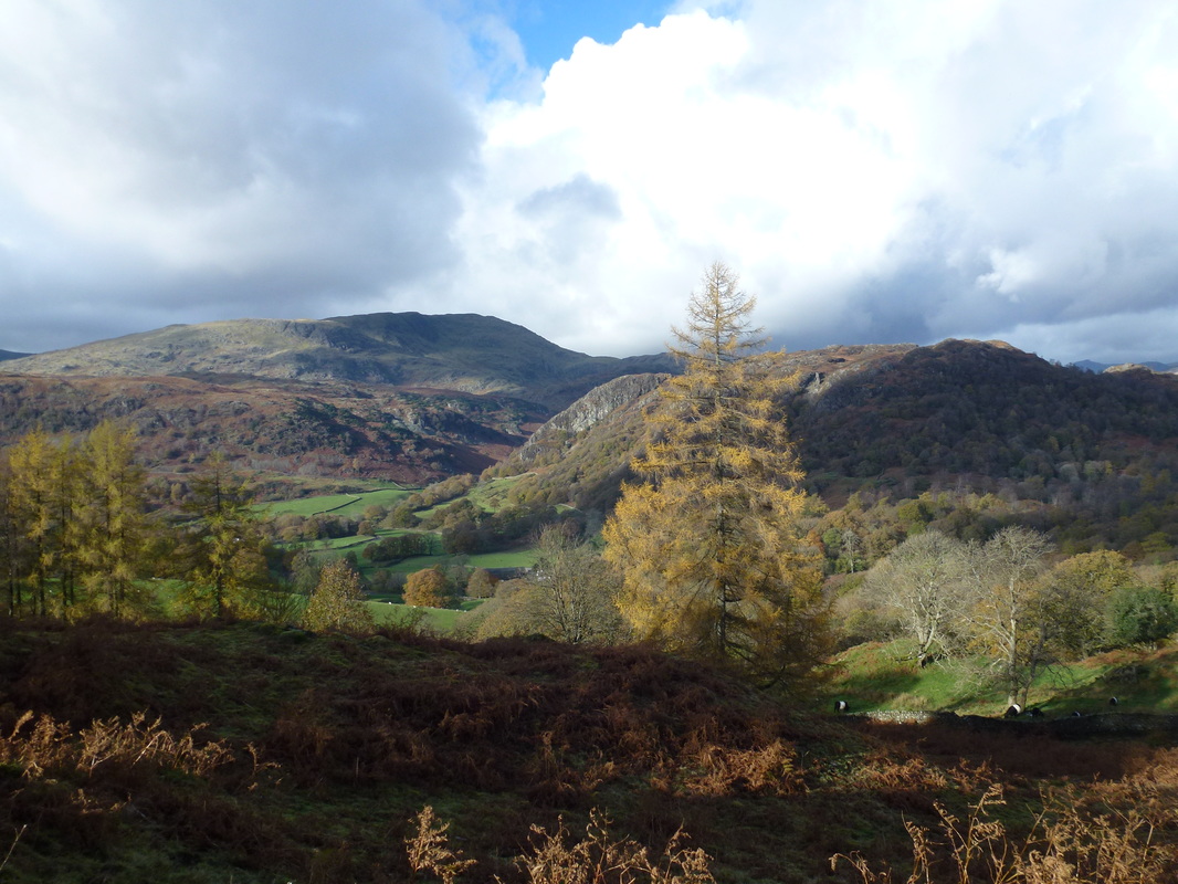
Looking to Wetherlam & Holme Fell
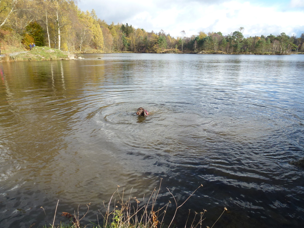
The Tarn Hows Monster
Arriving at Tarn Hows
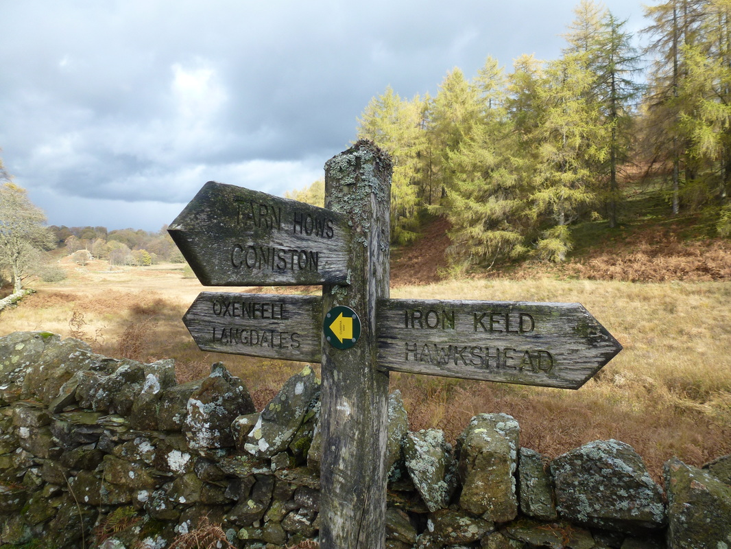
We were heading for Iron Keld
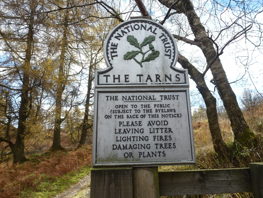
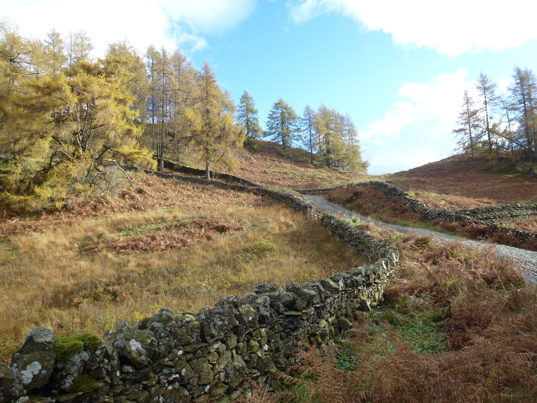
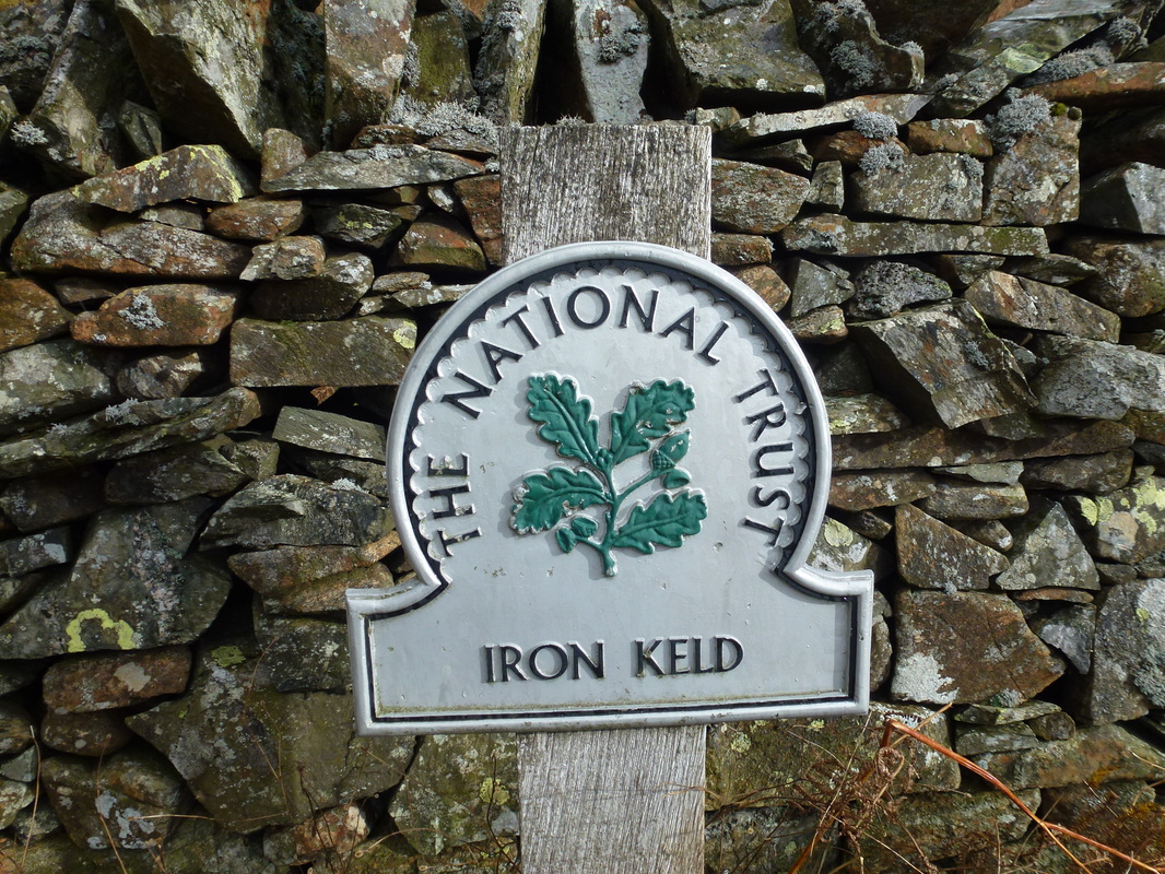
Entering the Iron Keld plantation........
......... as can be seen from the National Trust sign at the entrance
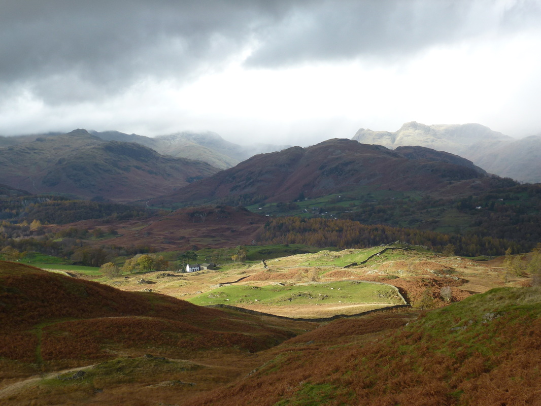
Looking into Great Langdale from the ascent of Black Fell. Lingmoor Fell is in the foreground, Bowfell in cloud with the Langdale Pikes to the right.
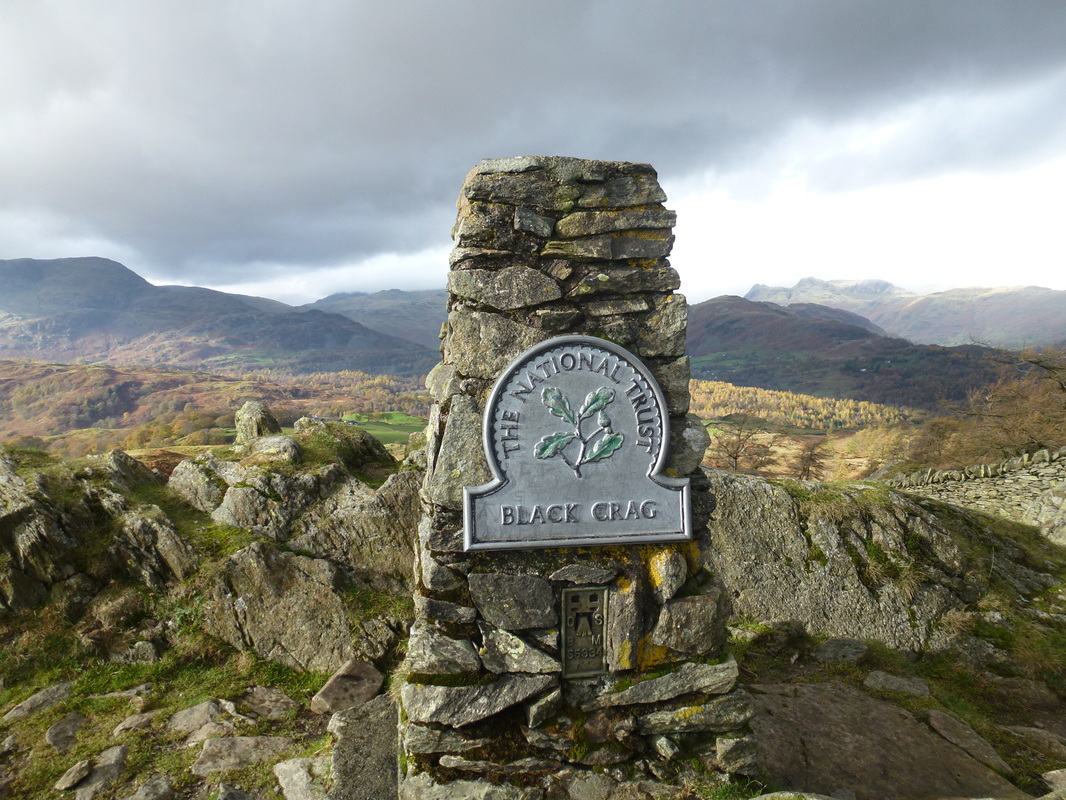
The summit of Black Fell.
Whilst the NT sign says "Black Crag" this is the name of the rocky outcrop the Trig Point stands on. Wainwright said of the scratched initials on the sign that they were done by "visitors of the type who seem to see in this practice a chance of immortality. It must readily be conceded that, for people of such mentality, probably it is their only chance" - Black Fell 3
Whilst the NT sign says "Black Crag" this is the name of the rocky outcrop the Trig Point stands on. Wainwright said of the scratched initials on the sign that they were done by "visitors of the type who seem to see in this practice a chance of immortality. It must readily be conceded that, for people of such mentality, probably it is their only chance" - Black Fell 3
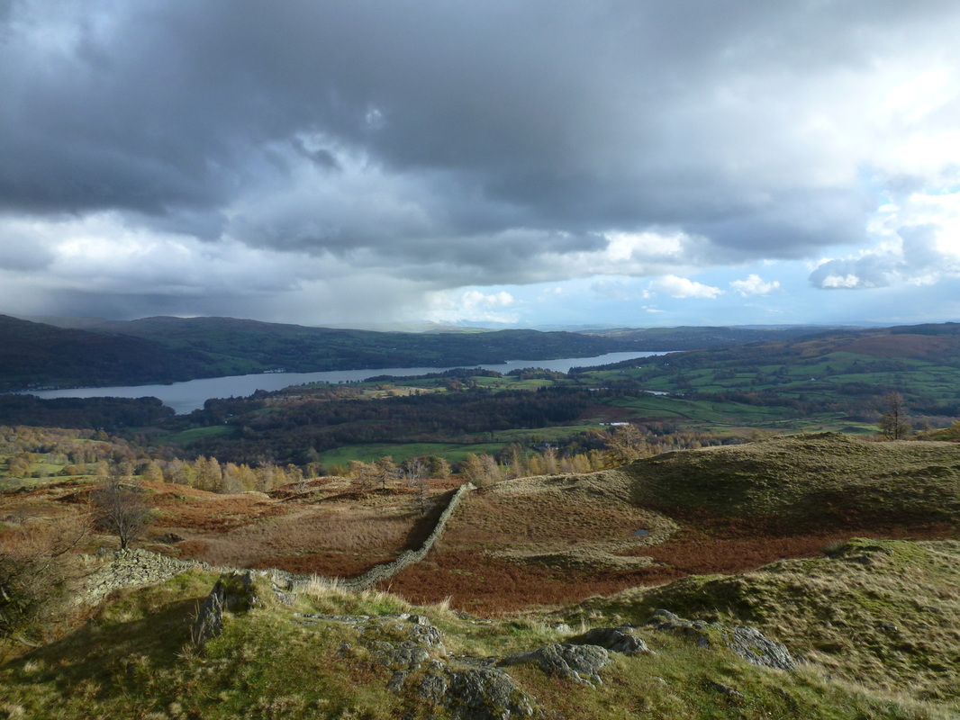
Windermere from the south east cairn
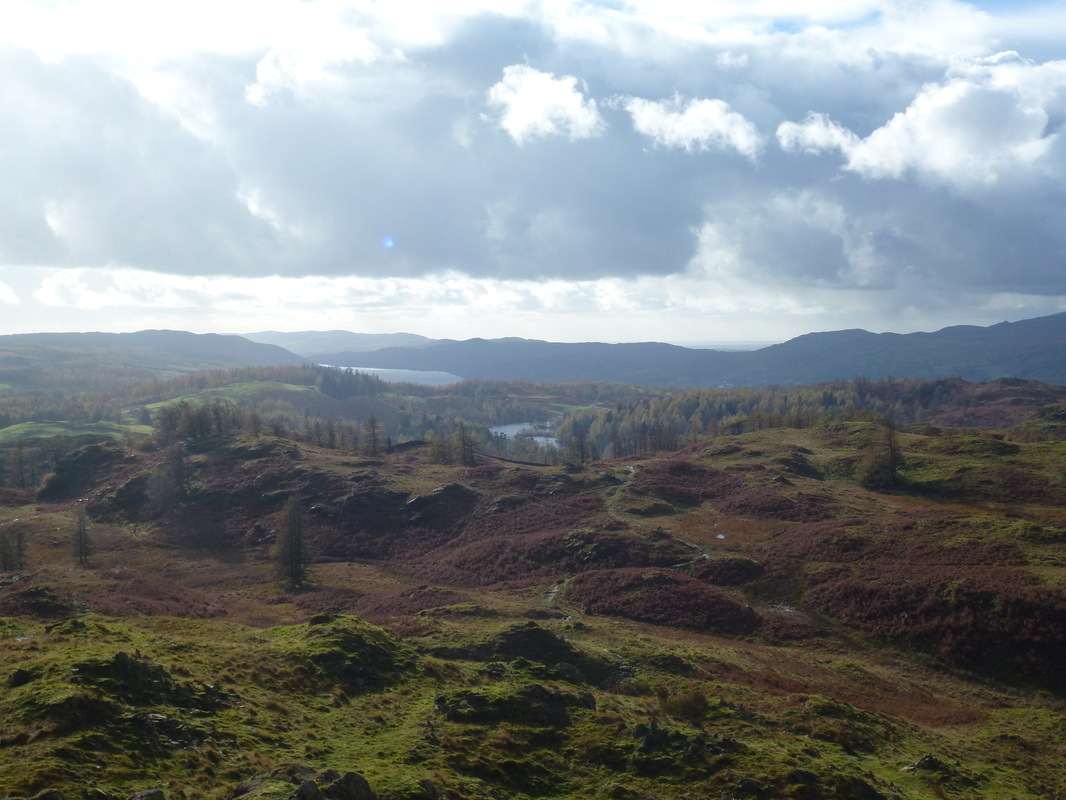
Iron Keld, Tarn Hows & Coniston Water from Black Fell
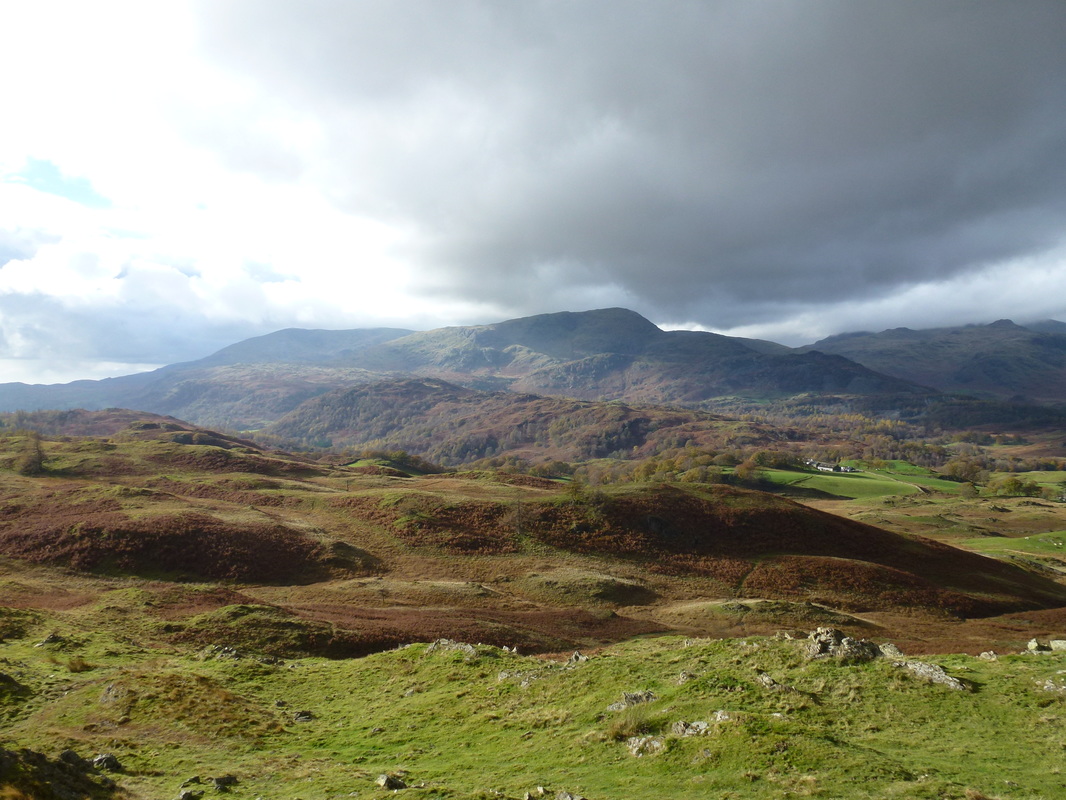
Looking to the Coniston Fells
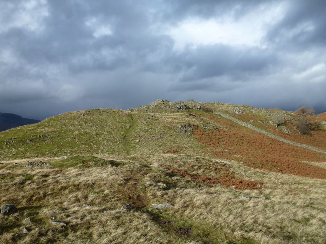
Looking to the summit of Black Fell from the south east cairn
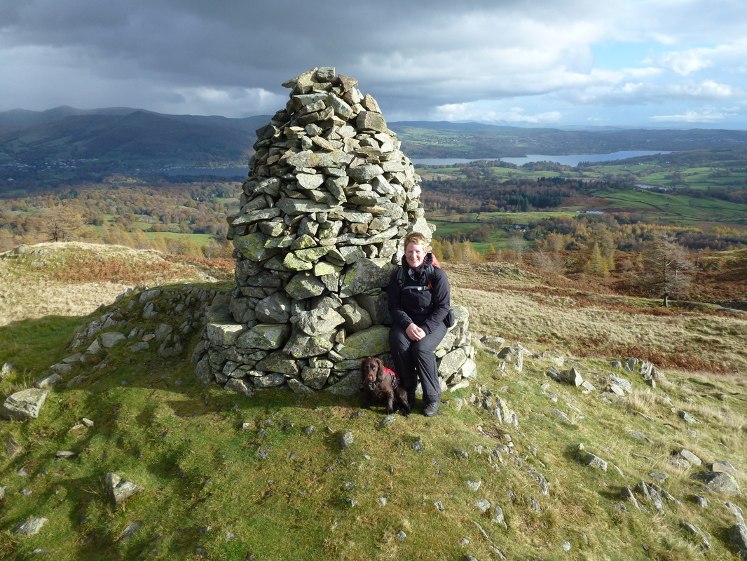
The South East Cairn which gives a grand view over Windermere
