High Stile Ridge & Dodd - Tuesday 13 September 2022
Route
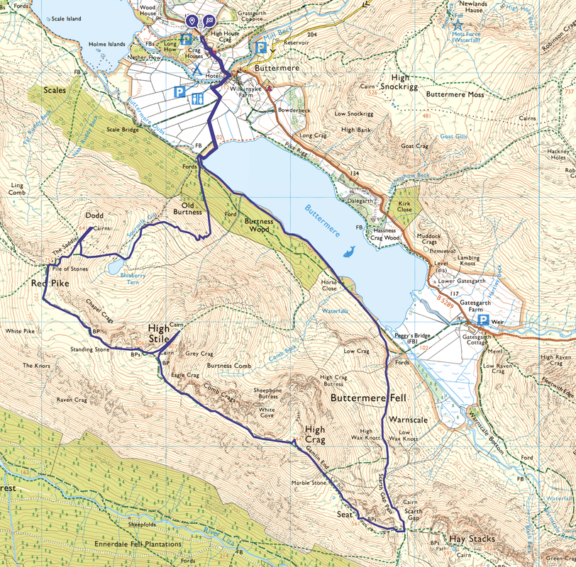
Buttermere - Burtness Wood - Bleaberry Tarn - Dodd - The Saddle - Red Pike - High Stile - High Crag - Gamlin End - Seat - Scarth Gap - Scarth Gap Pass - Burtness Wood - Buttermere
Parking
The National Trust Car Park in Buttermere (Charge but free to NT members). The Grid Reference is NY 17301 17209 and the nearest postcode is CA13 9UZ.
Mileage
9.5 miles
Terrain
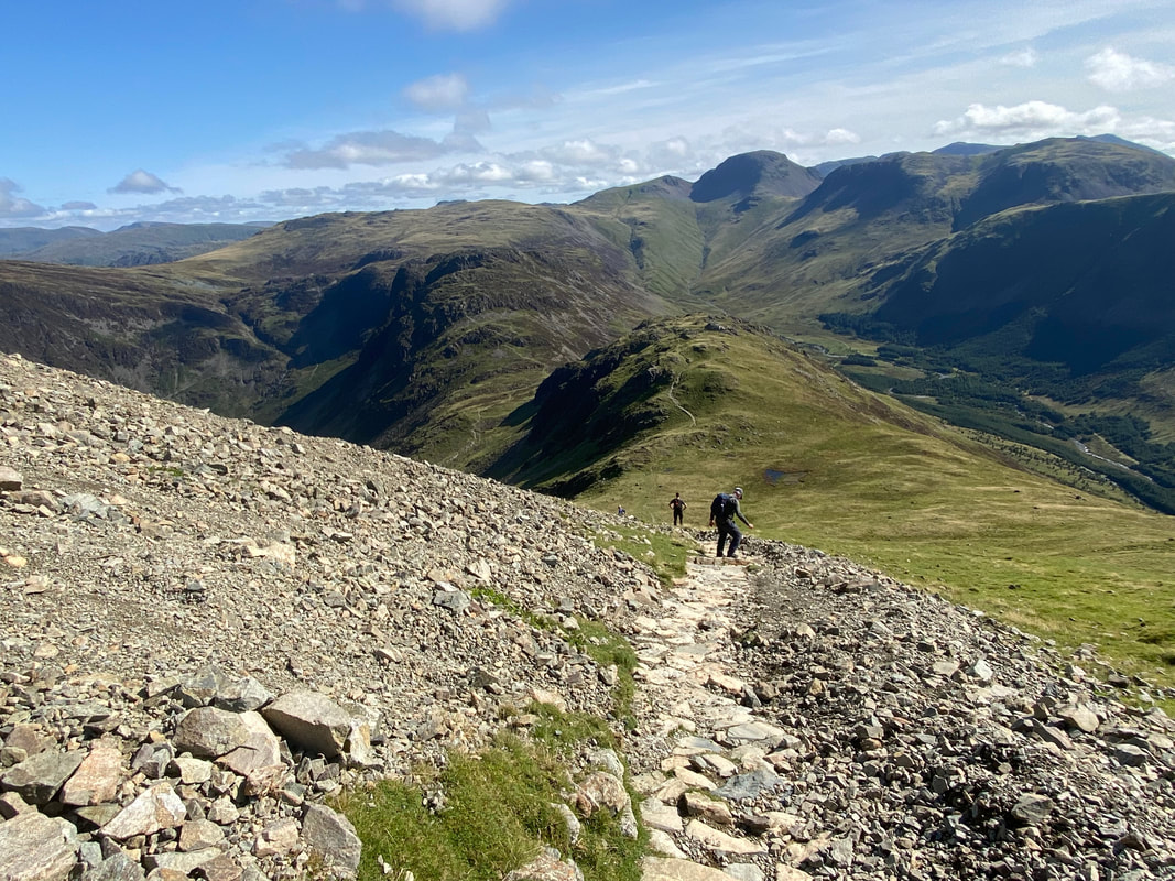
Woodland, lakeshore and mountain paths throughout. The descent from High Crag via Gamlin End is steep and over loose stone in places therefore care needs to be taken.
Weather
Low cloud at first which soon cleared to bring sunny spells and excellent visibility.
Time Taken
7hrs 15mins
Total Ascent
2713ft (827m)
Wainwrights
3
Map
OL4 The English Lakes (North Western Area)
Walkers
Dave with Malcolm Summers, Peter Moore & Poppy
|
GPX File
|
| ||
If the above GPX file fails to download or presents itself as an XML file once downloaded then please feel free to contact me and I will send you the GPX file via e-mail.
Route Map
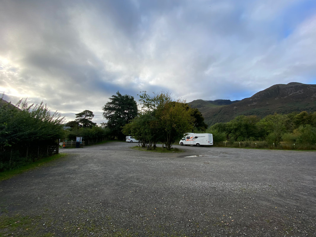
The walk started from the National Trust Car Park in Buttermere. I had arrived here very early and was disappointed to see a Camper Van & a Motorhome set up in the parking area taking up valuable spaces. They had clearly been here all night and as far as I am aware they are not allowed to do so. The issue is getting worse with some of the more popular Car Parks being used as 3 or 4 day stopping points. Something needs to be done - anyway, moving on....................
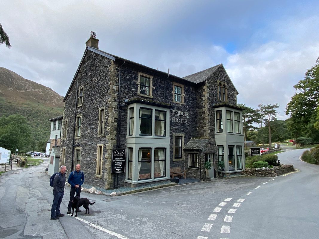
I would be joined today by the (very) Old Bill therefore no chance of me getting into trouble. I met Malcolm & Peter in 2021 when I was guiding them on their Coast to Coast walk - joining us would be Peter's lovely "I'll eat anything" Lab Poppy. They are stood outside The Bridge Hotel in Buttermere where hopefully we would enjoy a post walk pint.
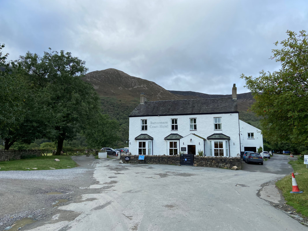
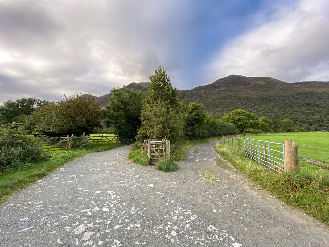
The Buttermere Court Hotel in Buttermere. The place was formerly called The Fish and has recently had a complete revamp including a change of name. Our route would head through the gate to the left.
From the village we headed out towards Buttermere Lake. After a while the path splits - both routes can be used. The path on the right leads to Scale Bridge and the one on the left (the one we used) leads to Buttermere Dubs Bridge.
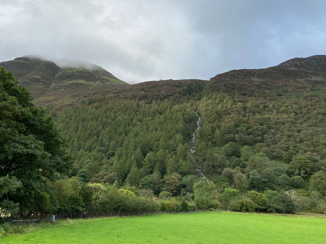
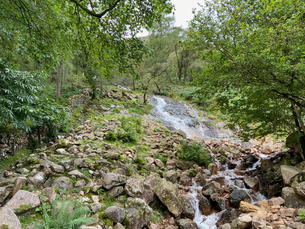
Sourmilk Gill which flows out of Bleaberry Tarn - we would be up there shortly.
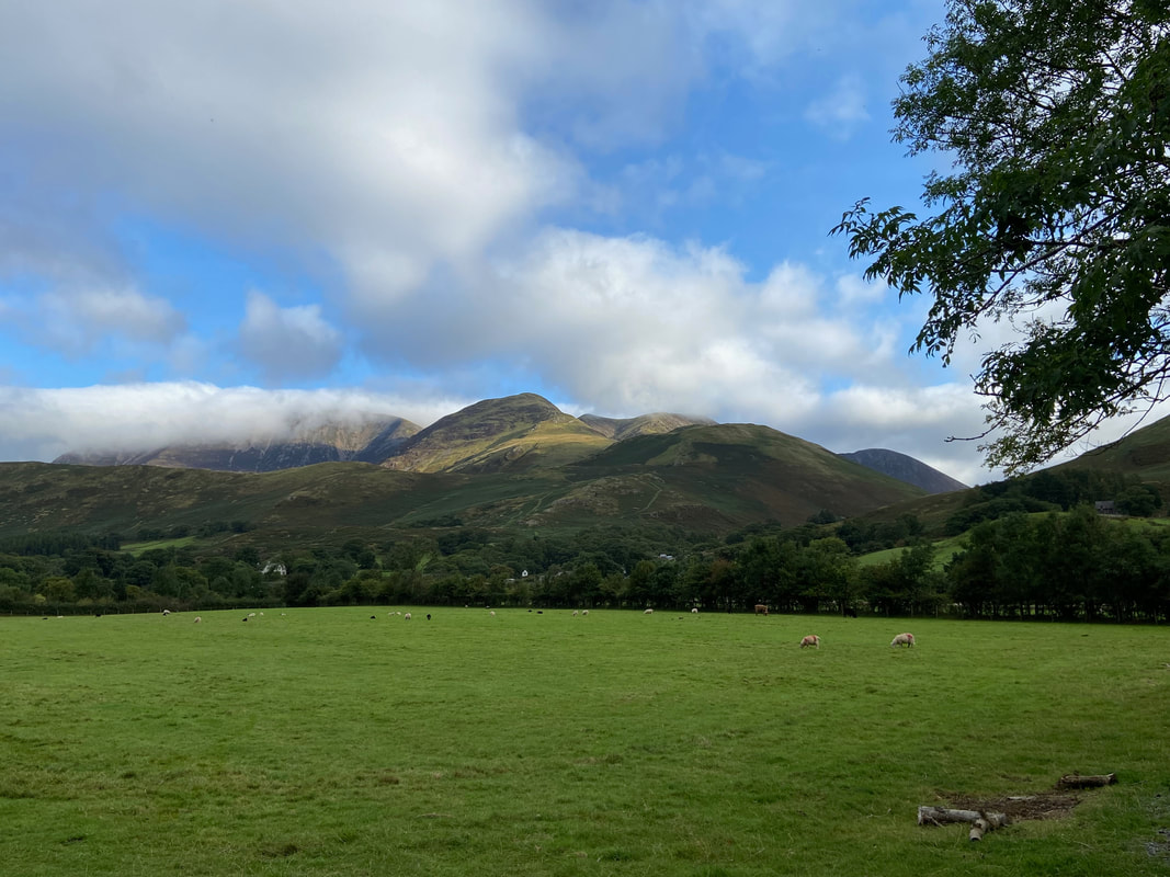
Looking back to Buttermere with Whiteless Pike occupying centre stage - to the left is Grasmoor which is slightly hidden in cloud
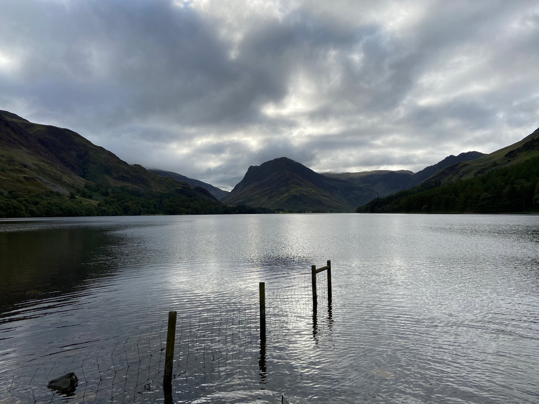
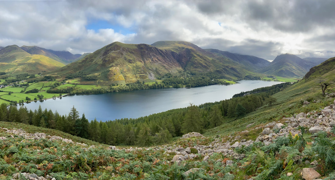
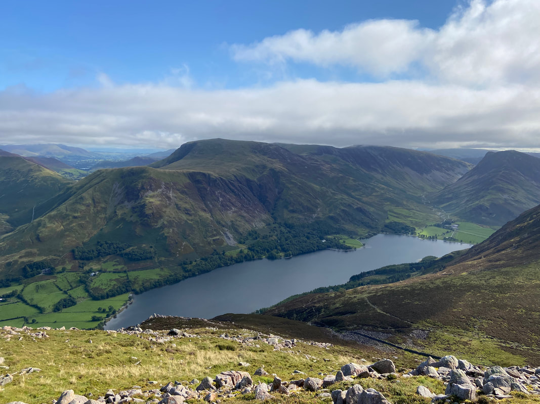
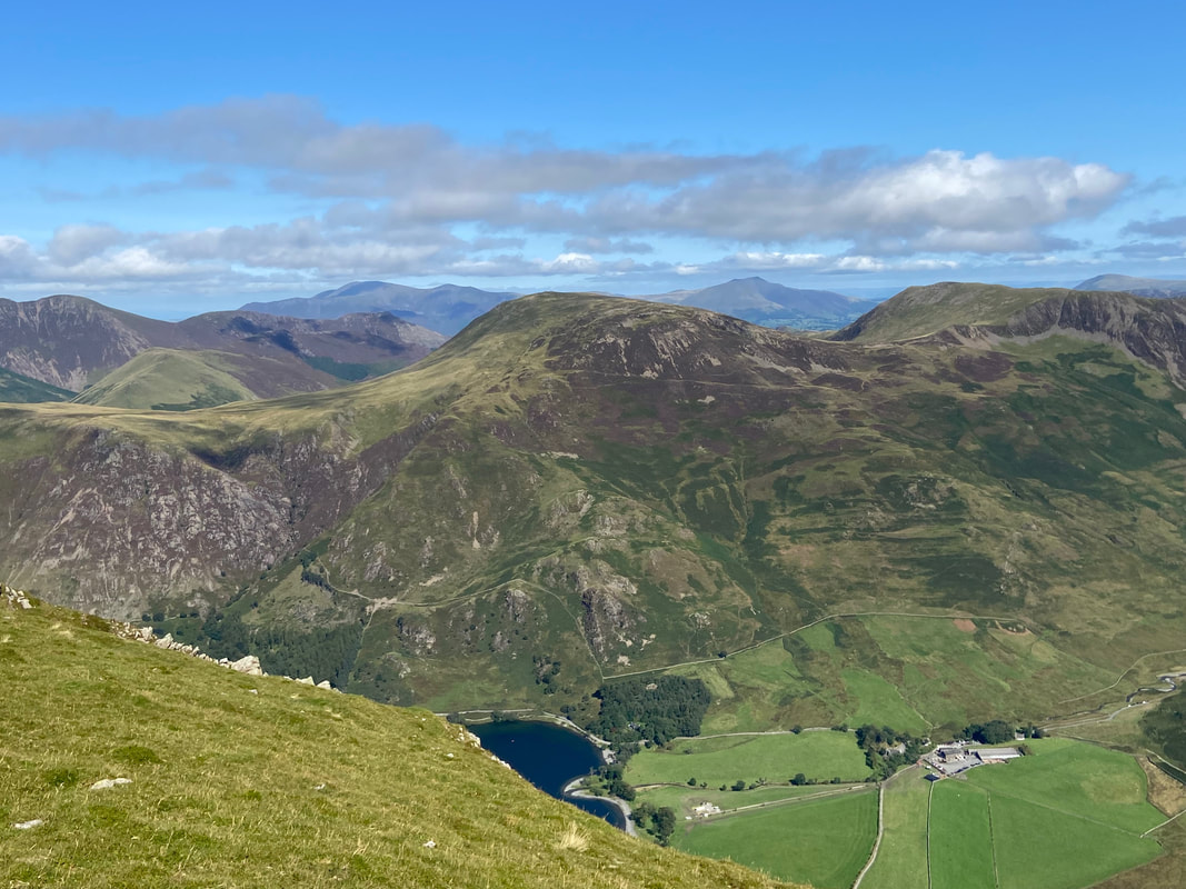
Gloomy skies over Buttermere's beautiful lake looking south east to Fleetwith Pike & Haystacks
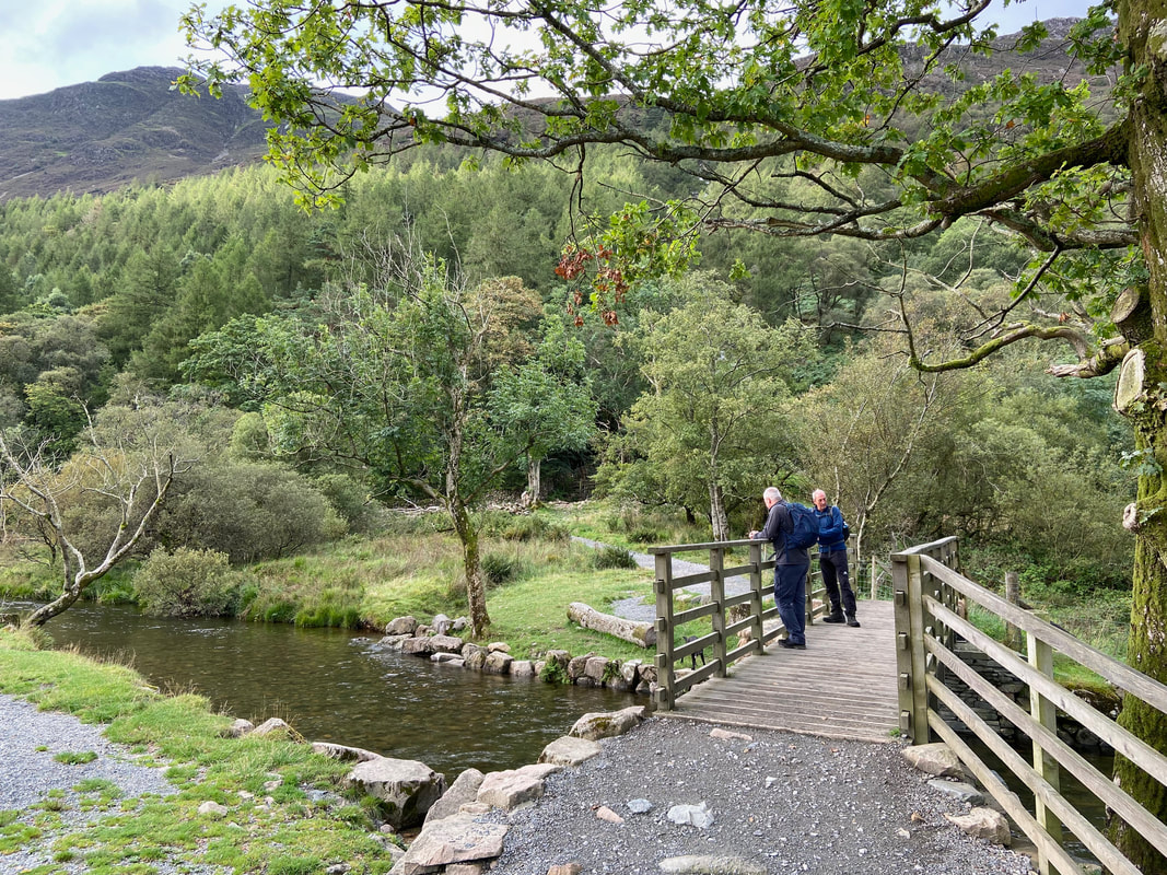
Crossing Buttermere Dubs Bridge. Following weather damage to the original, the present bridge was re-opened in late 2019 after a substantial donation was made to the landscape charity Friends of the Lake District.
Crossing the bridge a slight diversion to the right gives a view of Sour Milk Gill cascading over the rocks
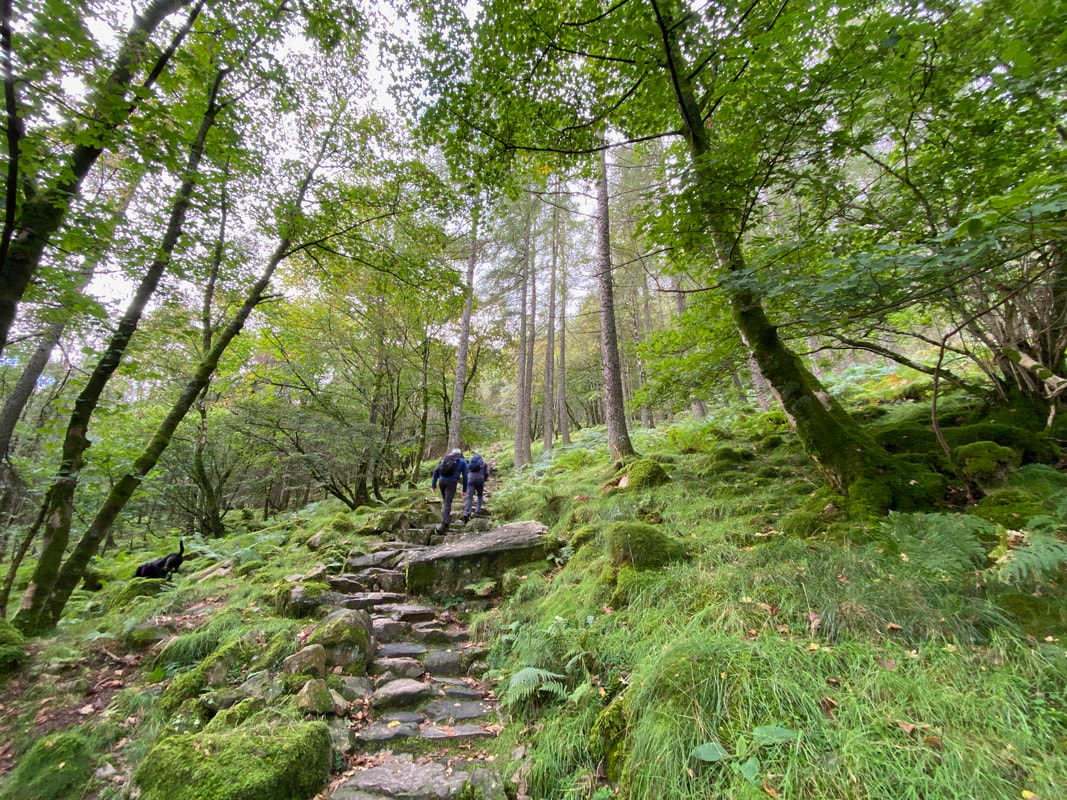
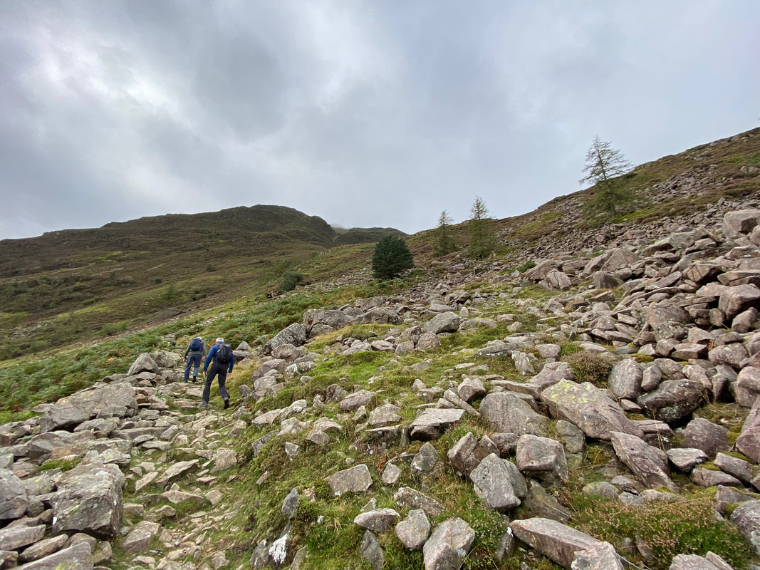
The ascent through Burtness Wood. I would heartily recommend that anybody thinking of descending by this path gives it up as a bad idea. The wood itself gets very little natural light and sun. This means that following a period of rain, the slabs making up the path do not get the chance to dry off and are therefore permanently slippy and covered in greasy lichen. Going up is ok - coming down is dangerous, believe me I've done it.
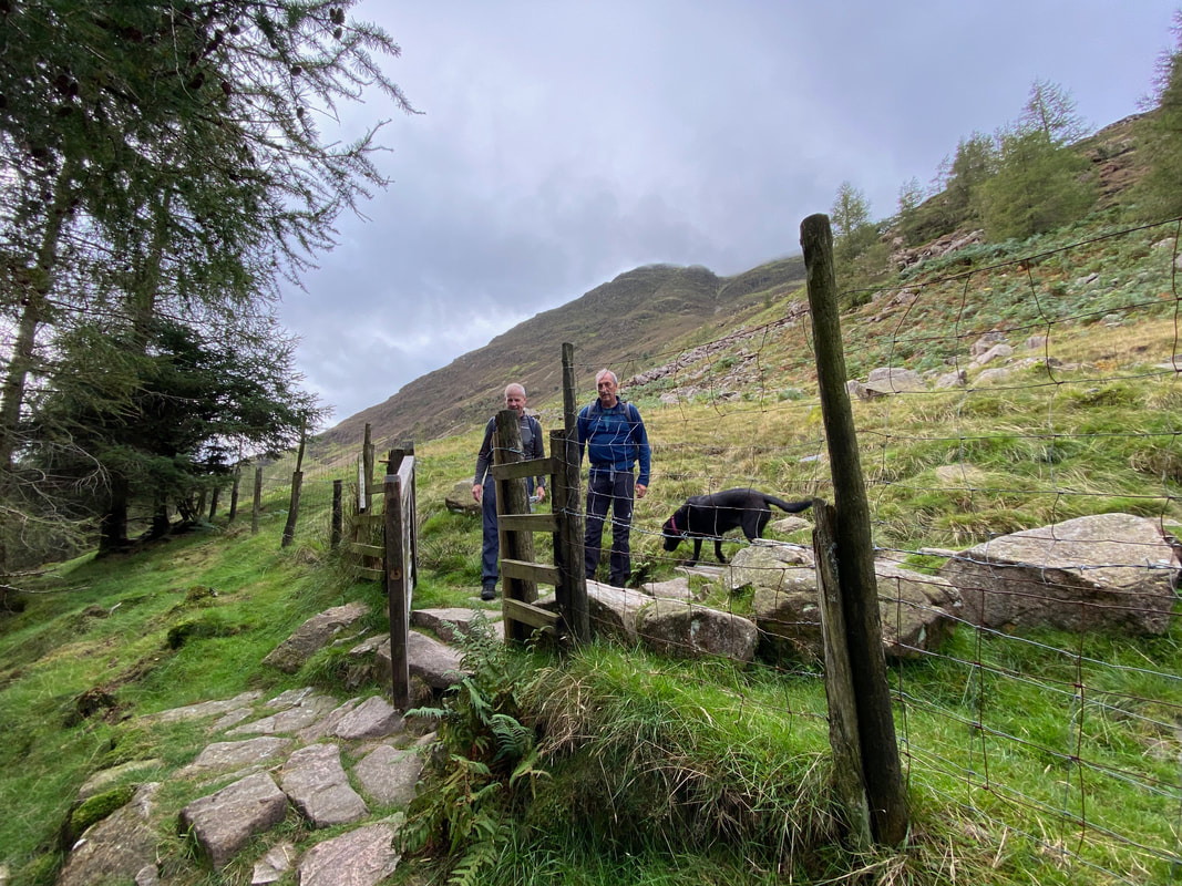
The gate exiting Burtness Wood. The gate was broken therefore I reported it to the LDNPA - hopefully they will facilitate its repair via the relevant landowner or authority.
Looking over Buttermere to High Snockrigg & Robinson
Heading for Bleaberry Tarn. The path is clear on the ground as it switches back on itself up the fell side.
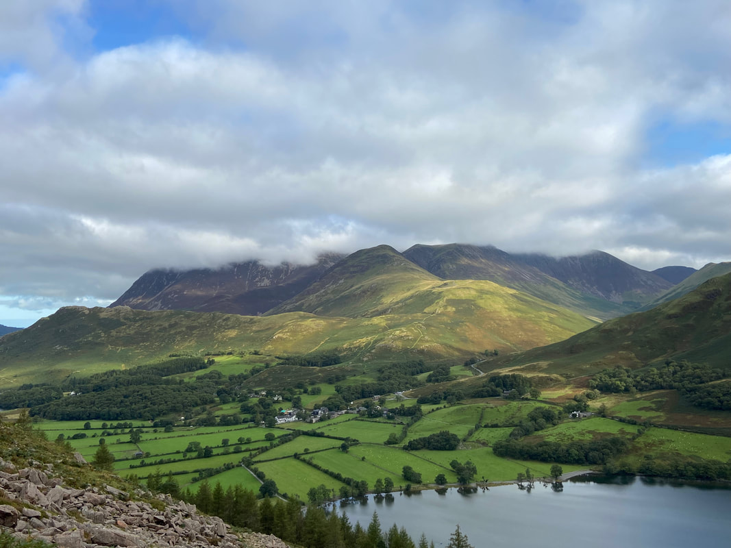
At this point the weather started to turn for the better as we look back over Buttermere to the North Western Fells
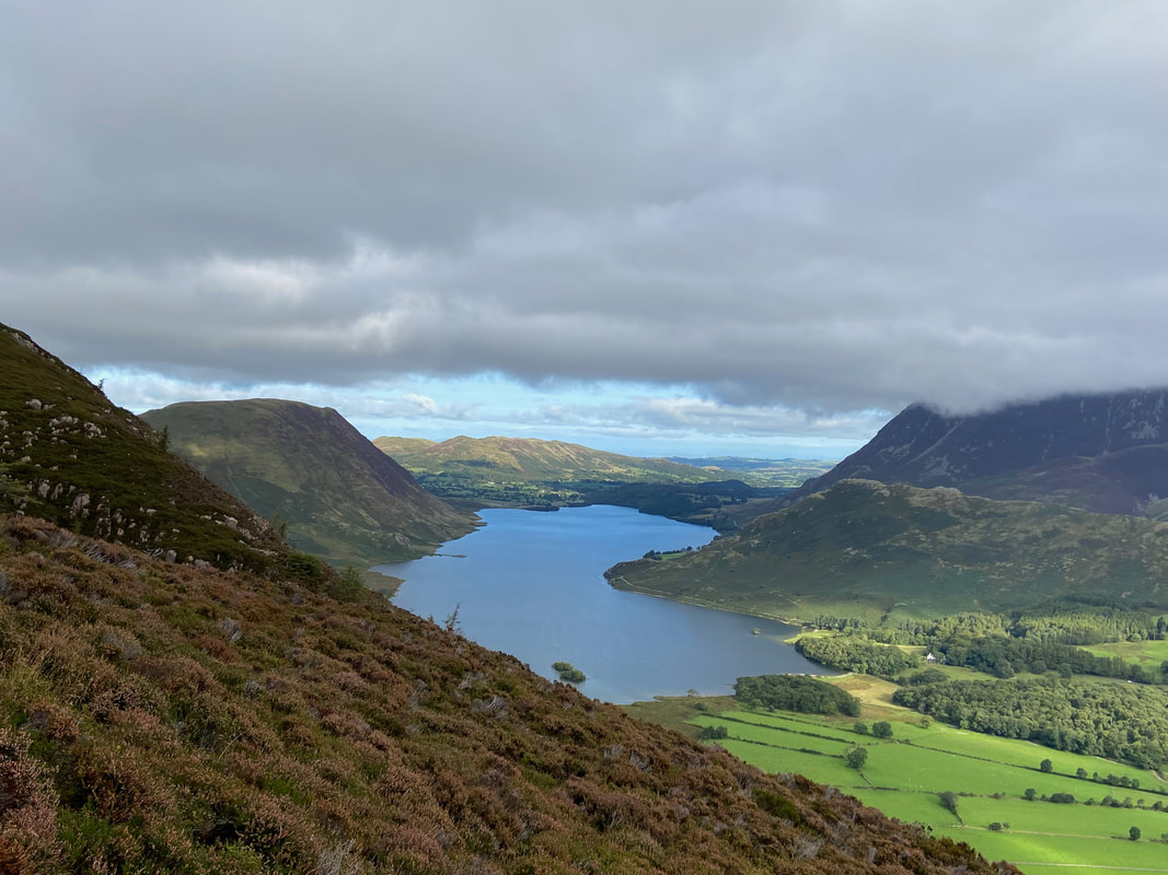
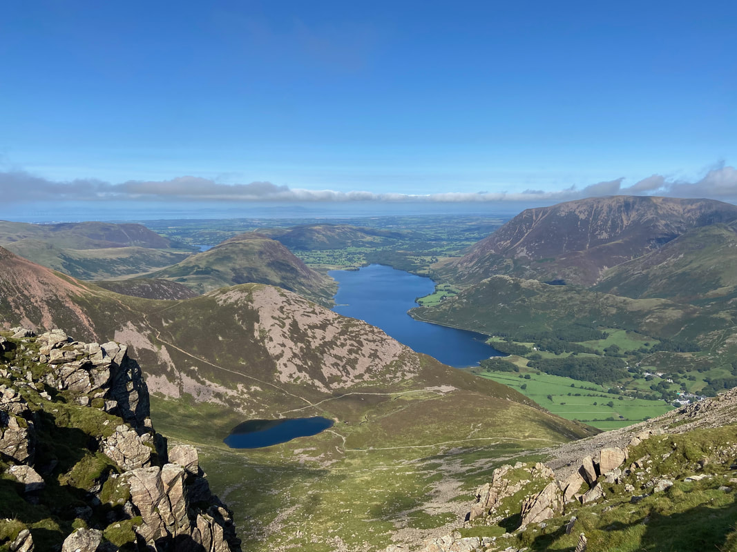
Looking to Crummock Water with Mellbreak to the left, Grasmoor & Rannerdale Knotts to the right with Low Fell & Fellbarrow distant
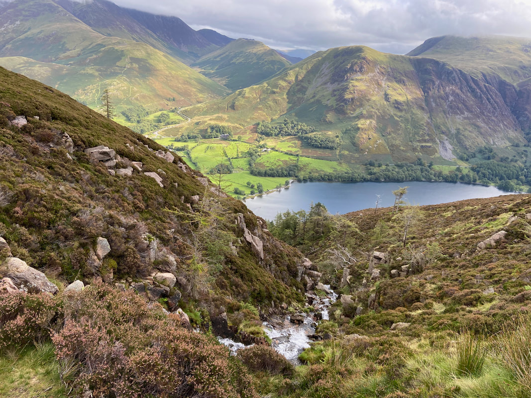
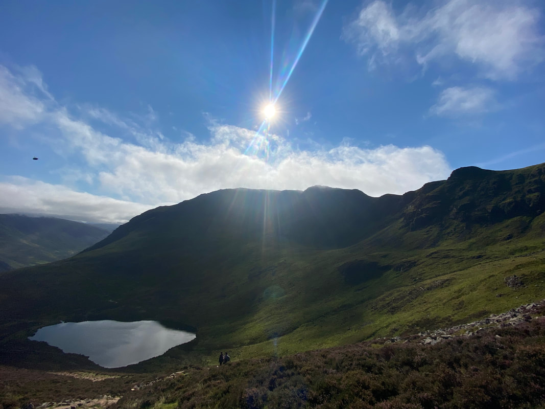
Sourmilk Gill tumbles down the fell side as we near Bleaberry Tarn
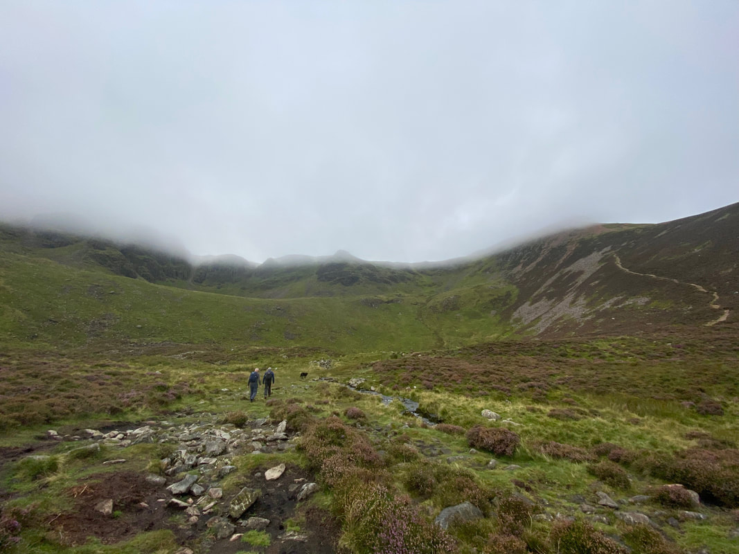
From here it felt like somebody had nicked the tarn - it's around here somewhere!
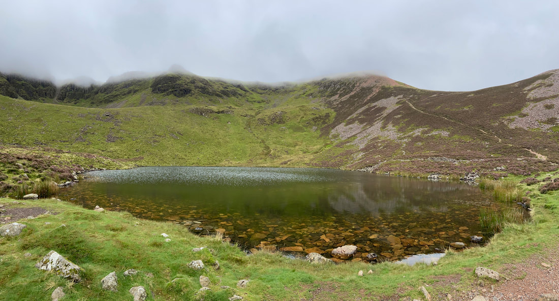
Here it is!!
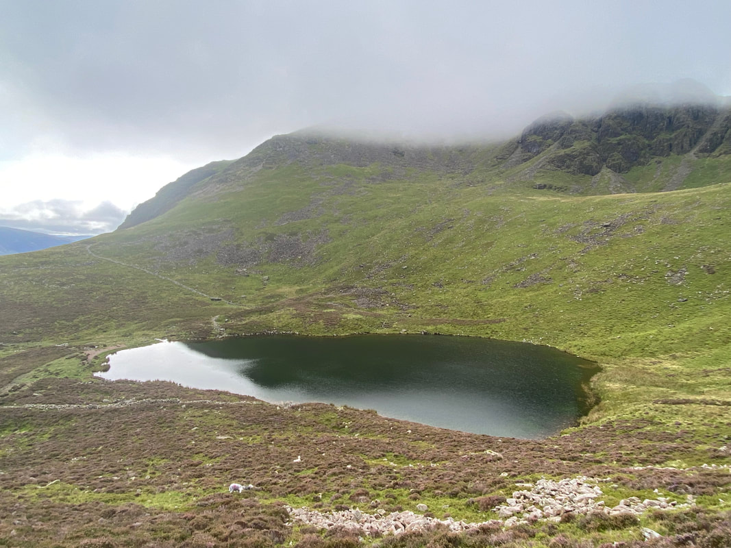
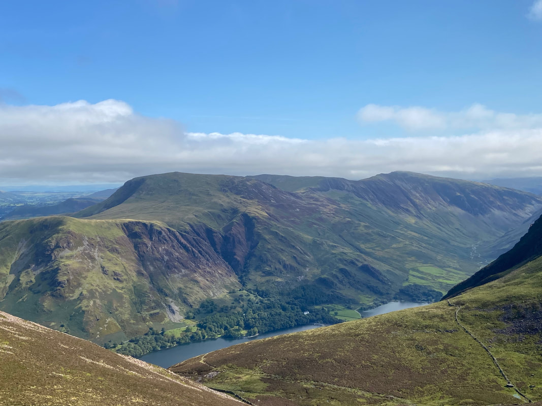
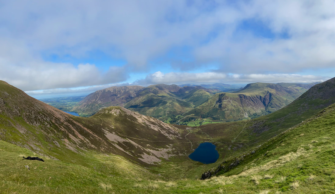
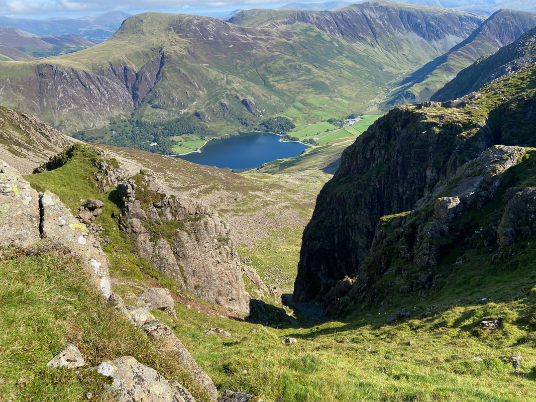
Looking down on Bleaberry Tarn from the path to the saddle
In the words of The Beatles, Here Comes the Sun as it shows itself at last over High Stile
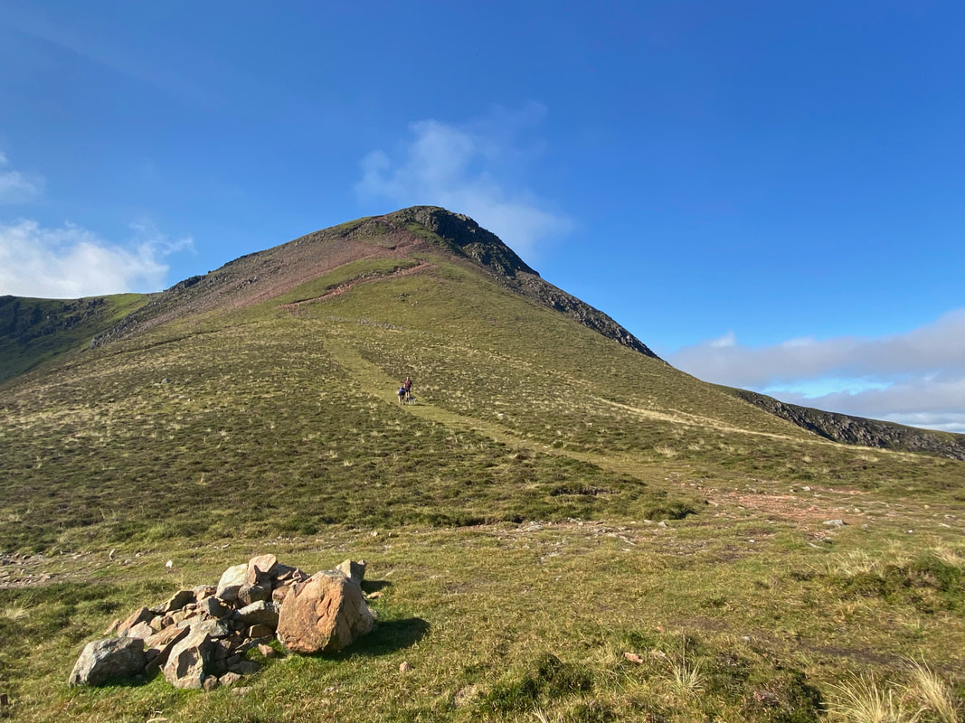
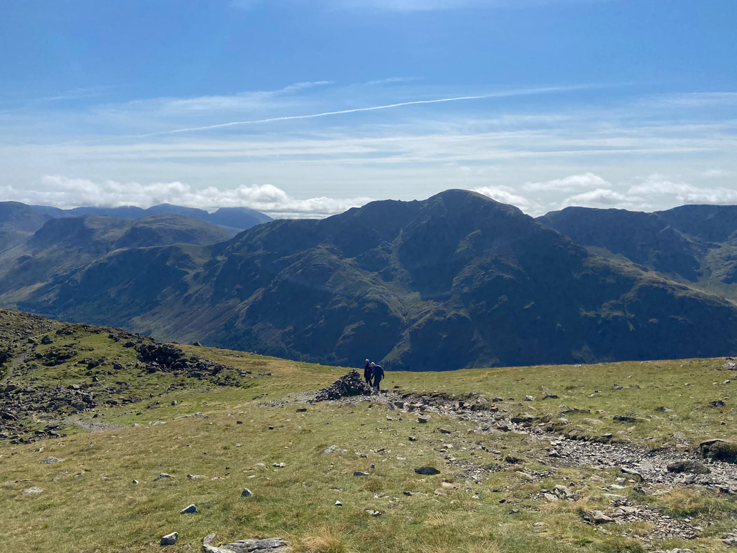
A large cairn marks the top of the path from Bleaberry Tarn in an area known as The Saddle. The path to Red Pike can be seen ahead however I was taking Peter & Malcolm up on to Dodd which is to the right out of shot.
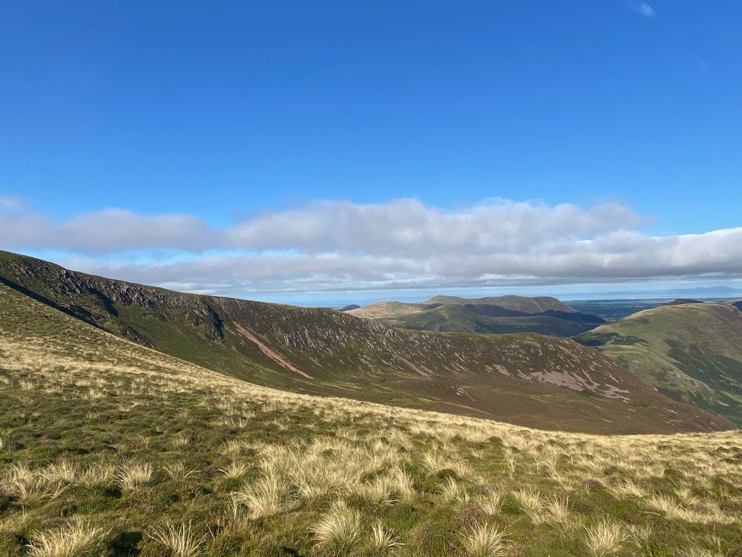
Lingcomb Edge from The Saddle with Starling Dodd & Great Borne to the rear
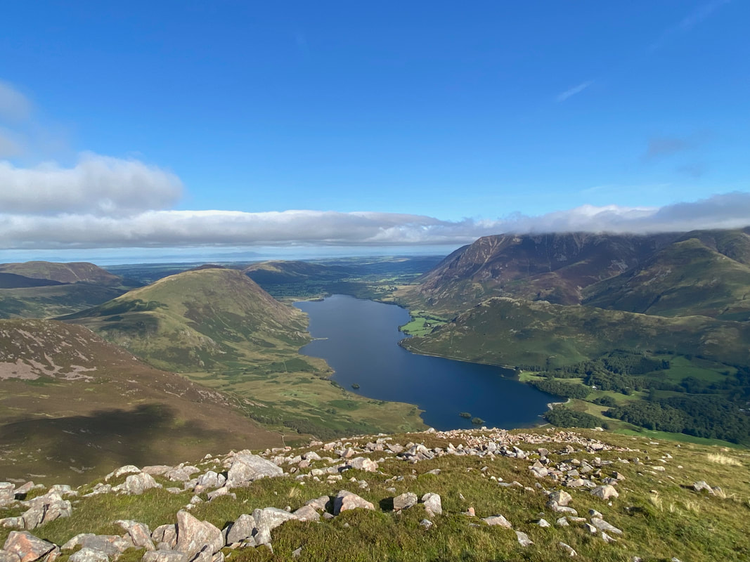
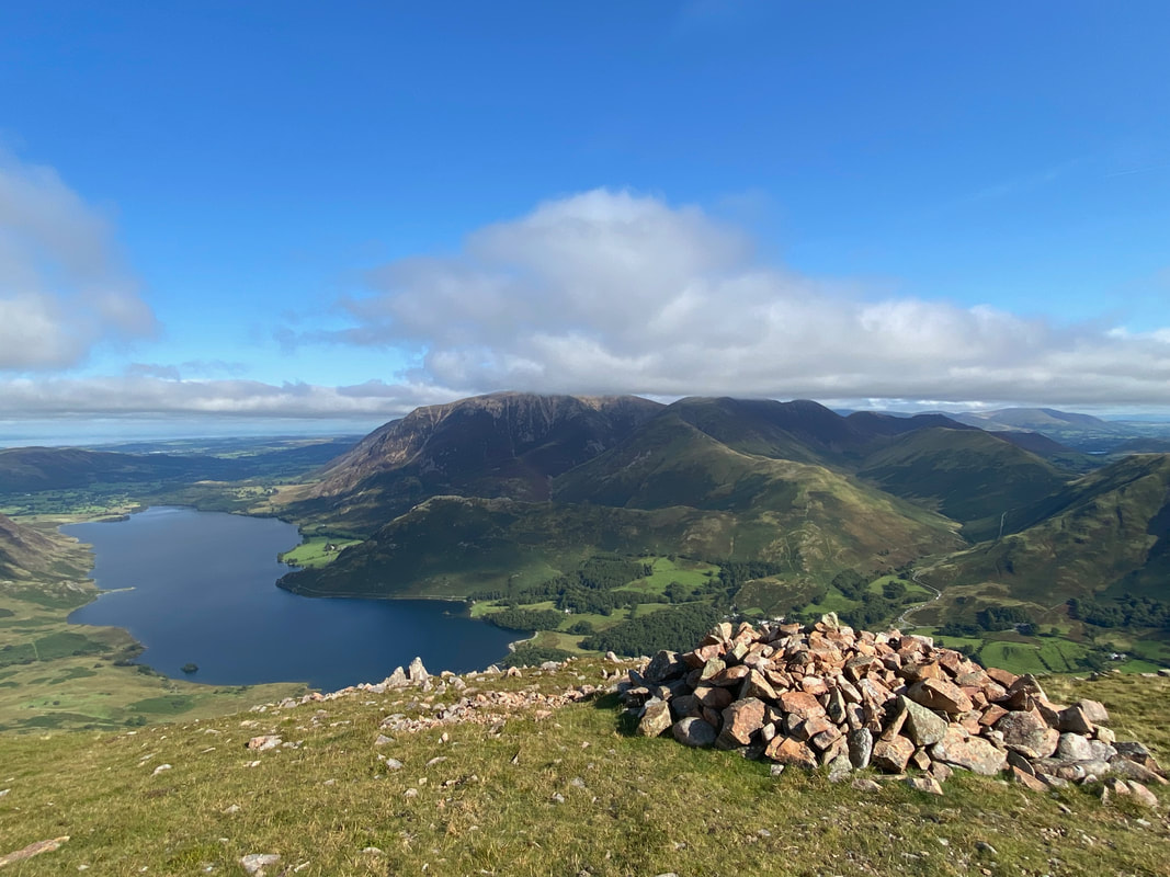
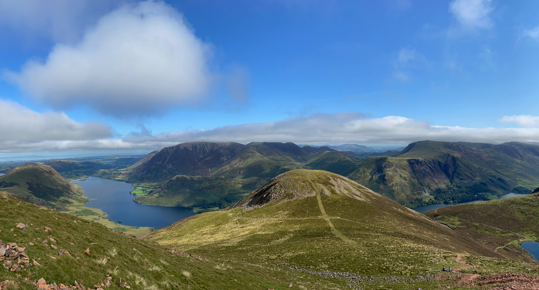
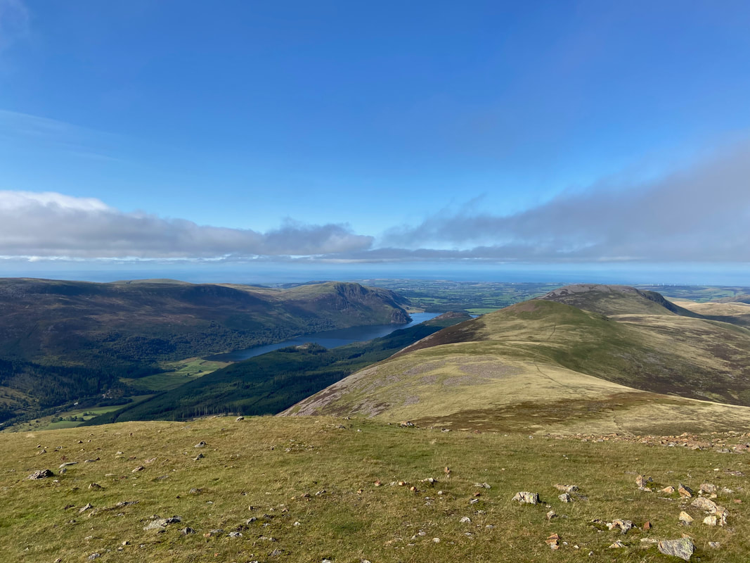
Crummock Water from the summit of Dodd. It's my guess that Dodd gets very few visitors as most people simply head to Red Pike - as can be seen it is fantastic viewpoint.
Buttermere from the summit of Dodd
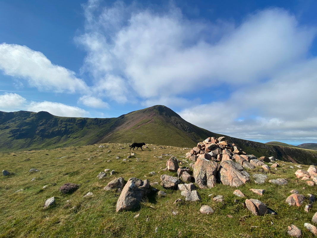
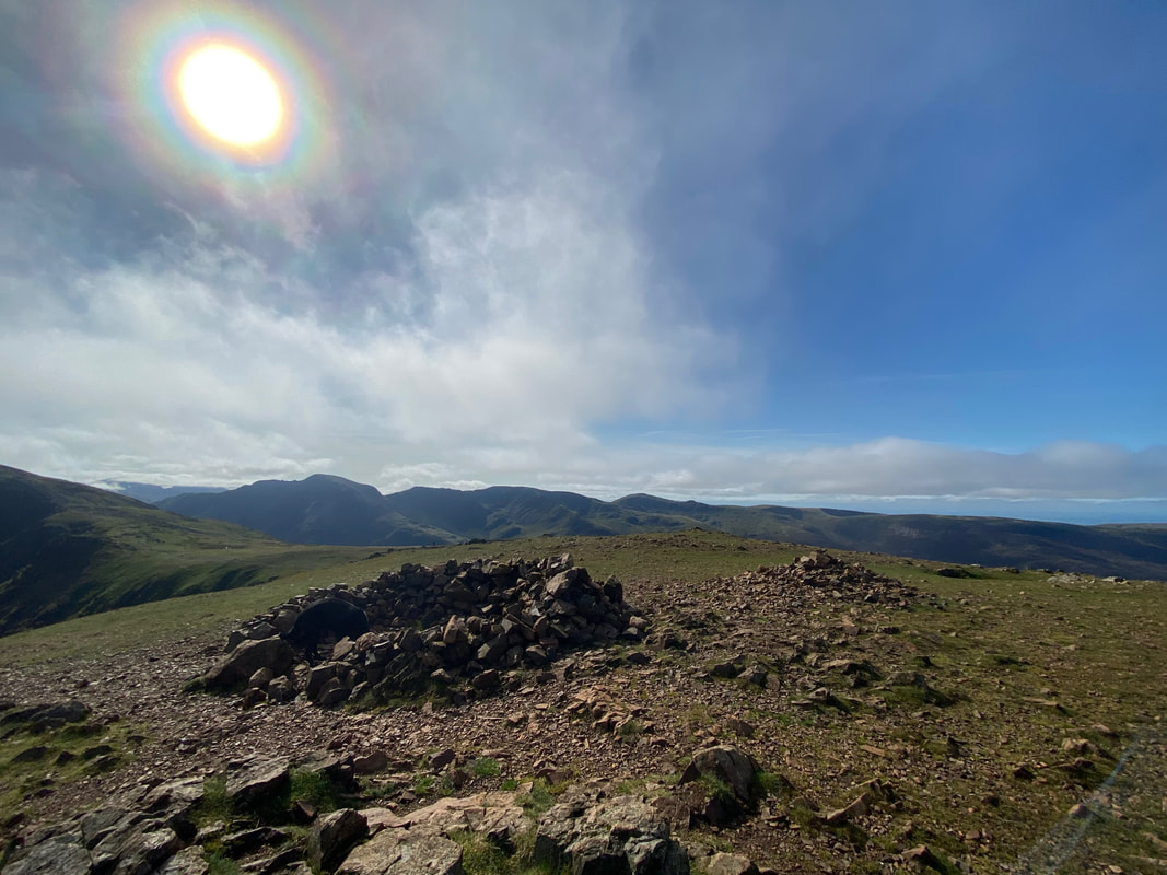
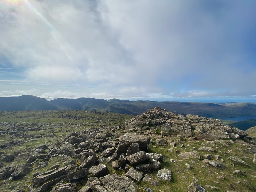
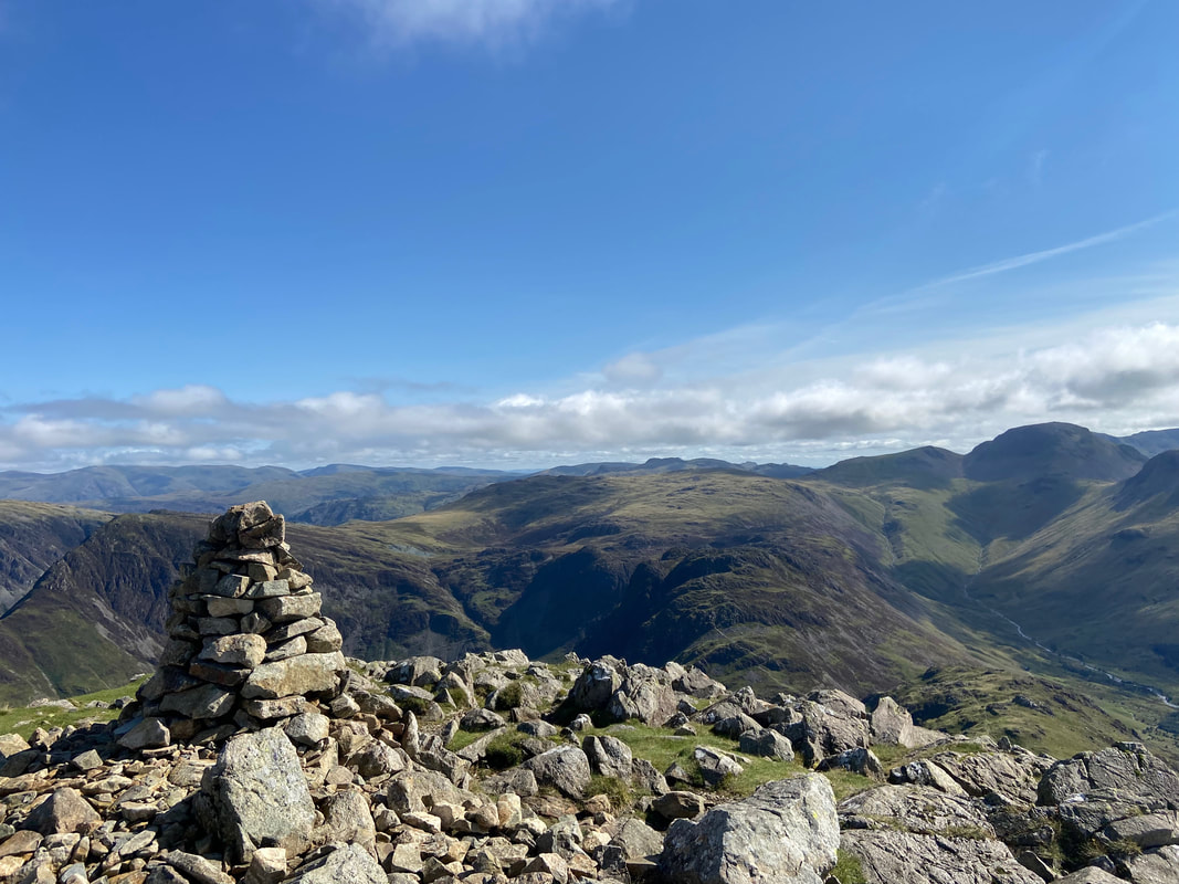
The summit cairn on Dodd looking to Crummock Water & the North Western Fells
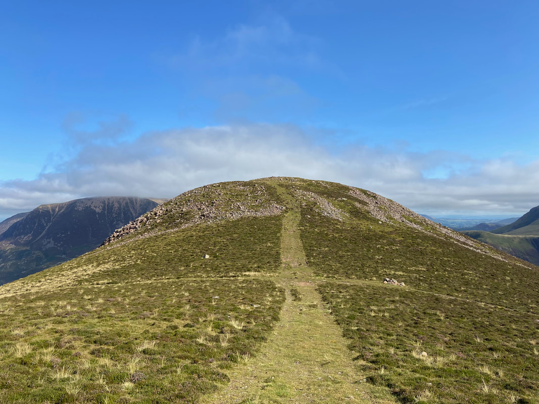
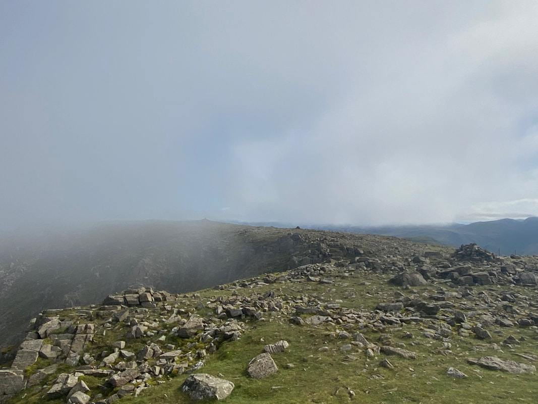
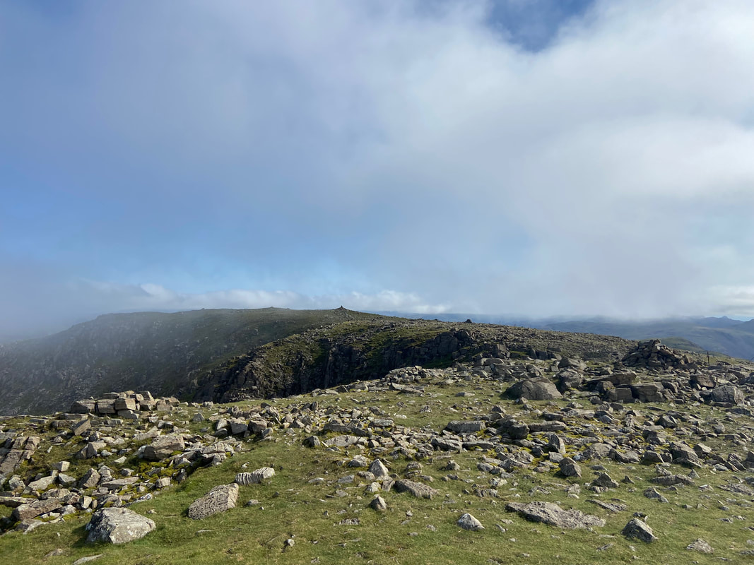
Dodd summit looking to Red Pike
Heading back to The Saddle from Dodd - next up was the steep and stony path to Red Pike
Dodd from just above The Saddle
Gaining height and the vista improves with every step
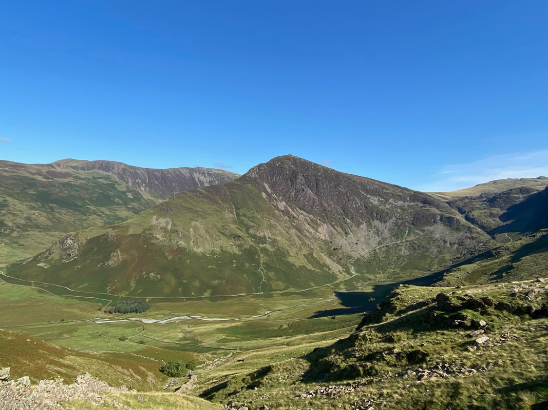
High Snockrigg, Robinson, Hindscarth & Dale Head with the Honister pass over to the right
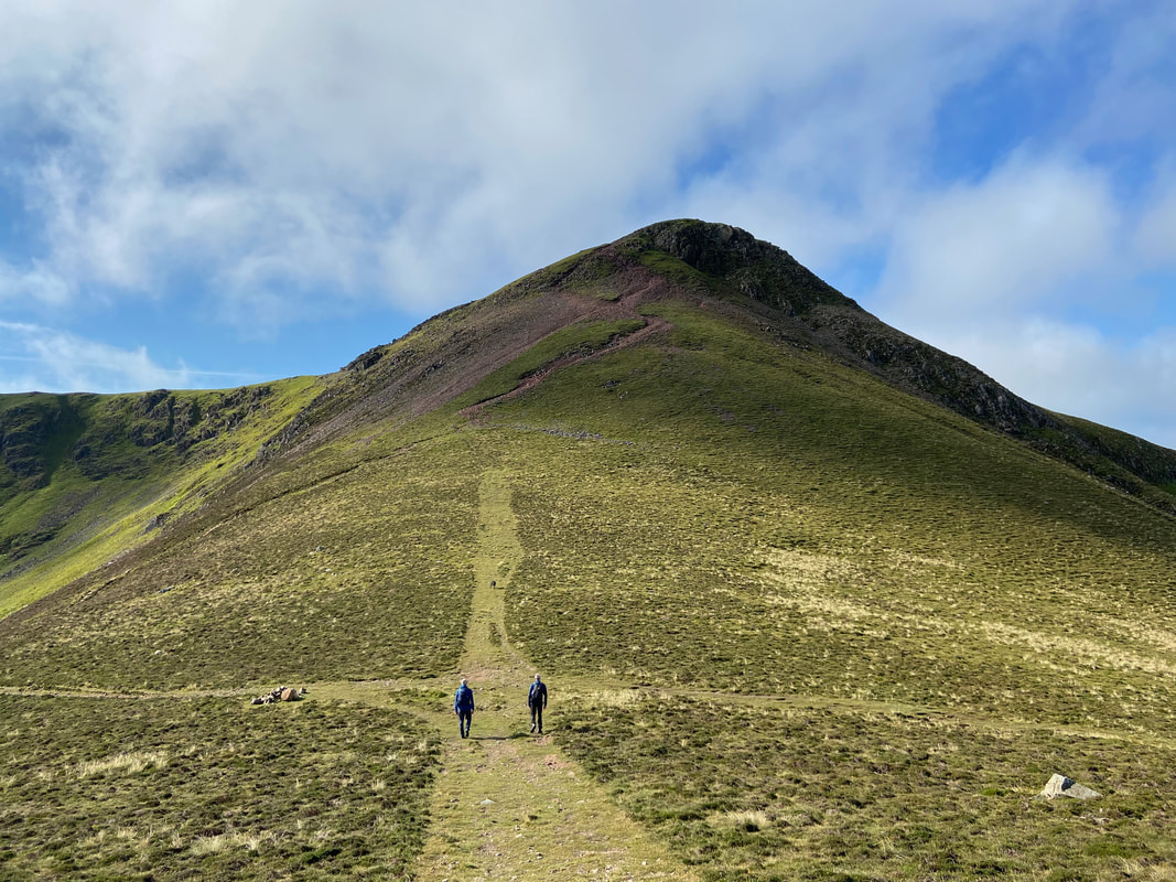
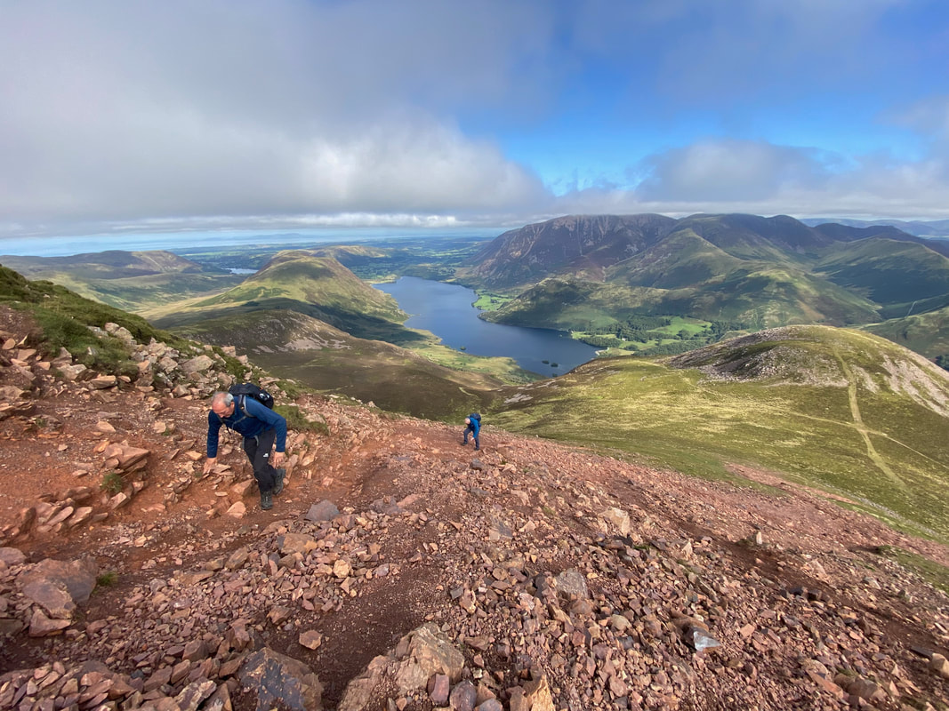
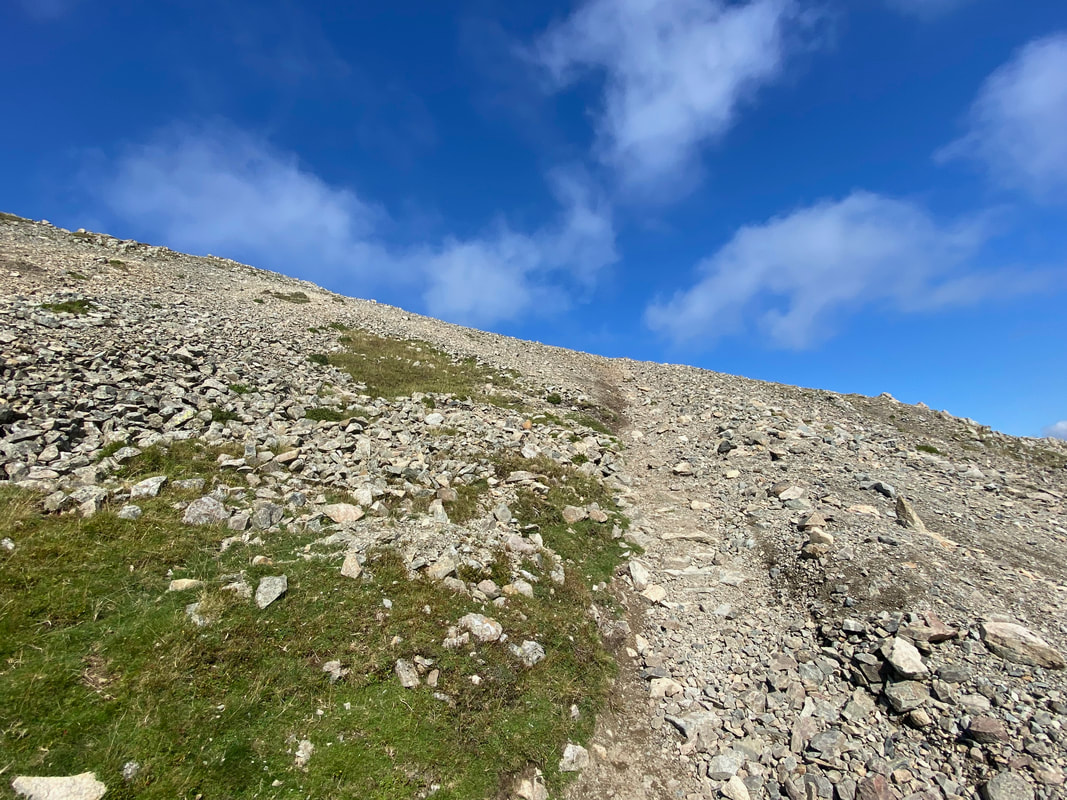
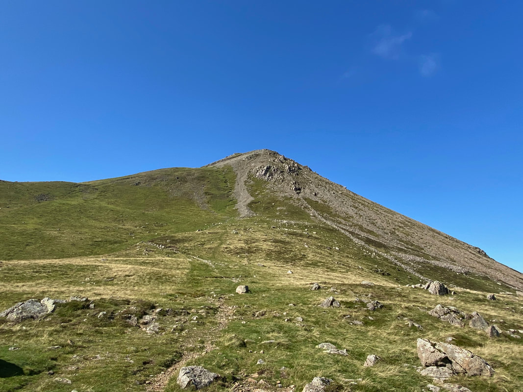
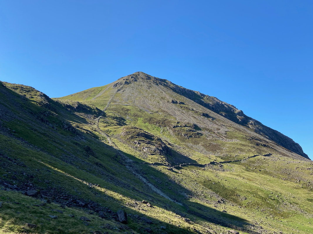
As height is gained the path becomes extremely rough and stony - this is another path that is much better in ascent than descent.
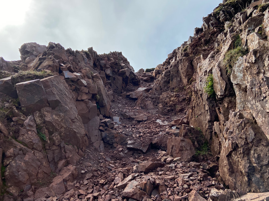
Just before the summit a rock groove needs to be negotiated
The summit of Red Pike
Looking into Ennerdale with Crag Fell above the lake to the centre left and Starling Dodd & Great Borne to the right
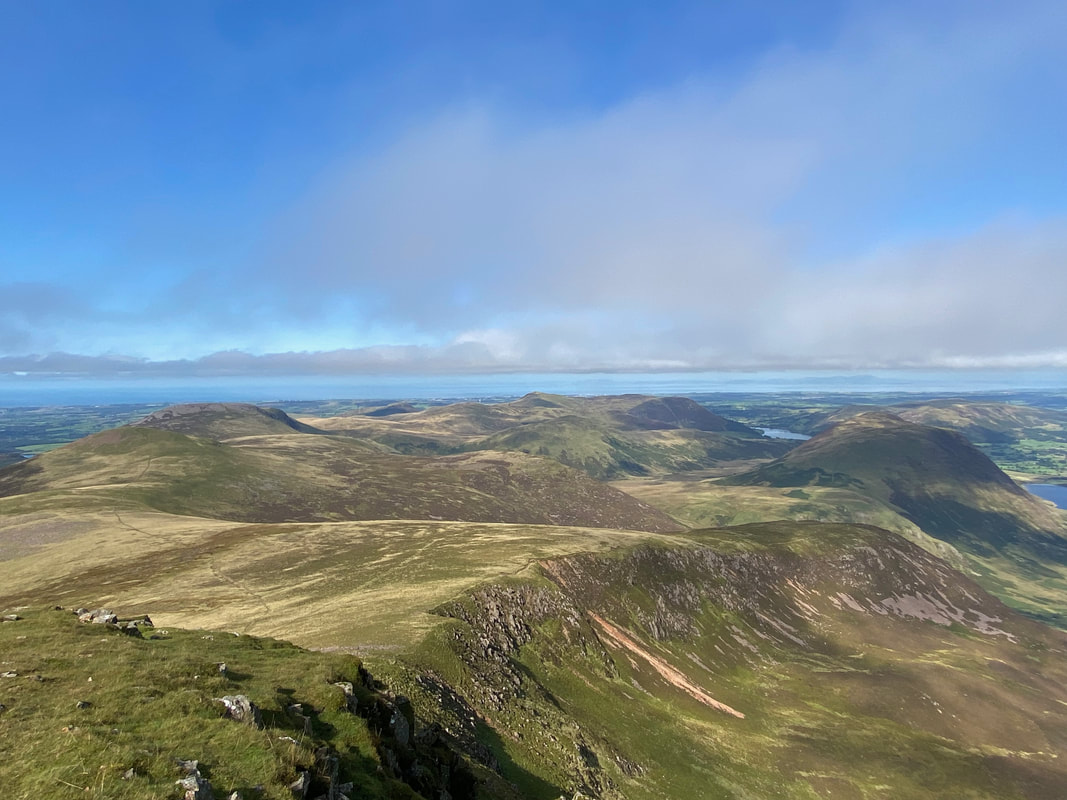
Another cracking view this time with Lingcomb Edge in the foreground and some of the Western Fells beyond
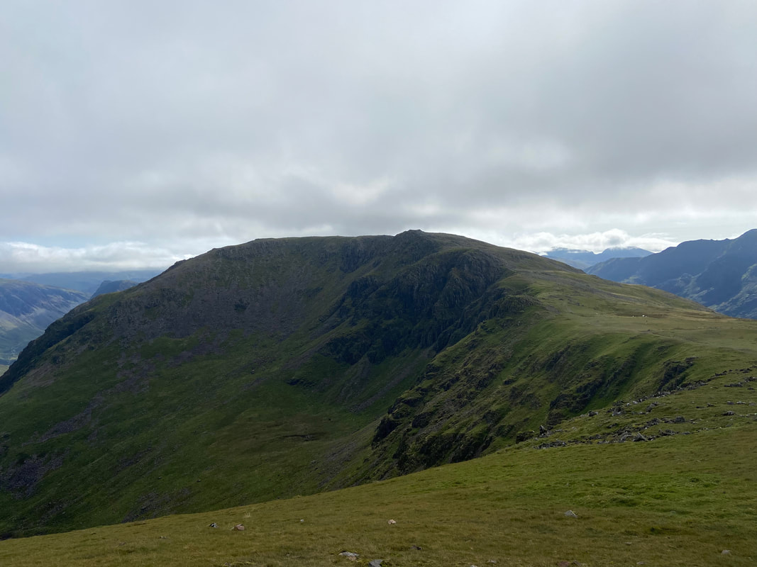
High Stile from Red Pike - we were off there next
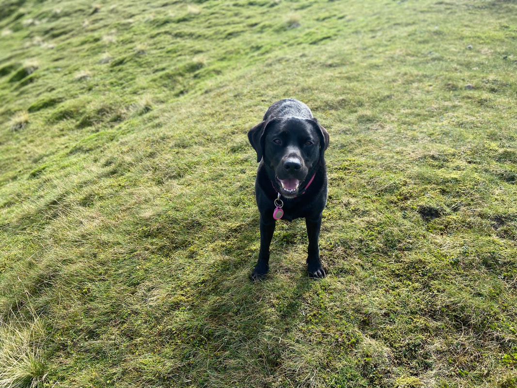
Poppy decides to have a bit of an arse about as I try to take an arty farty panorama from the transit to High Stile
Feel better after that Pops??
Looking back to Red Pike from the climb to High Stile
Low cloud sweeps over High Stile as we near the summit
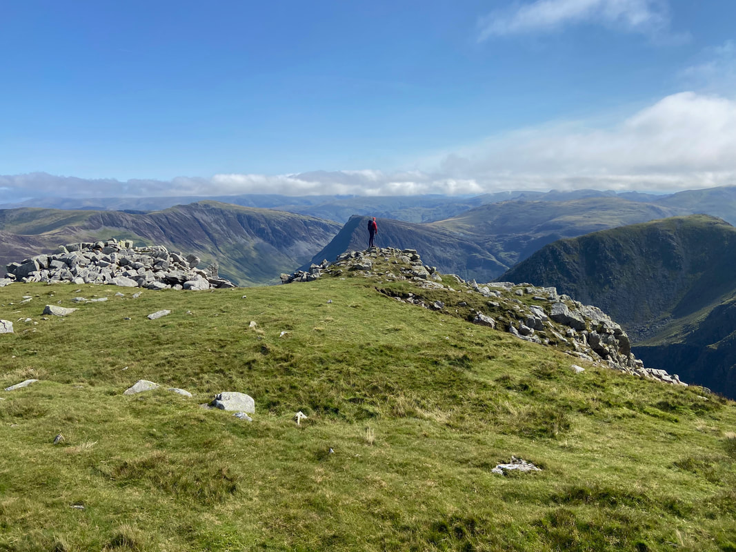
The Wainwright summit of High Stile - there are officially two summits separated in height by the massive amount of 1 foot. They are both lovely tops therefore just visit them both and be done with it!
From the Wainwright summit it is a short walk of 30 yards to the second summit which can be seen ahead.
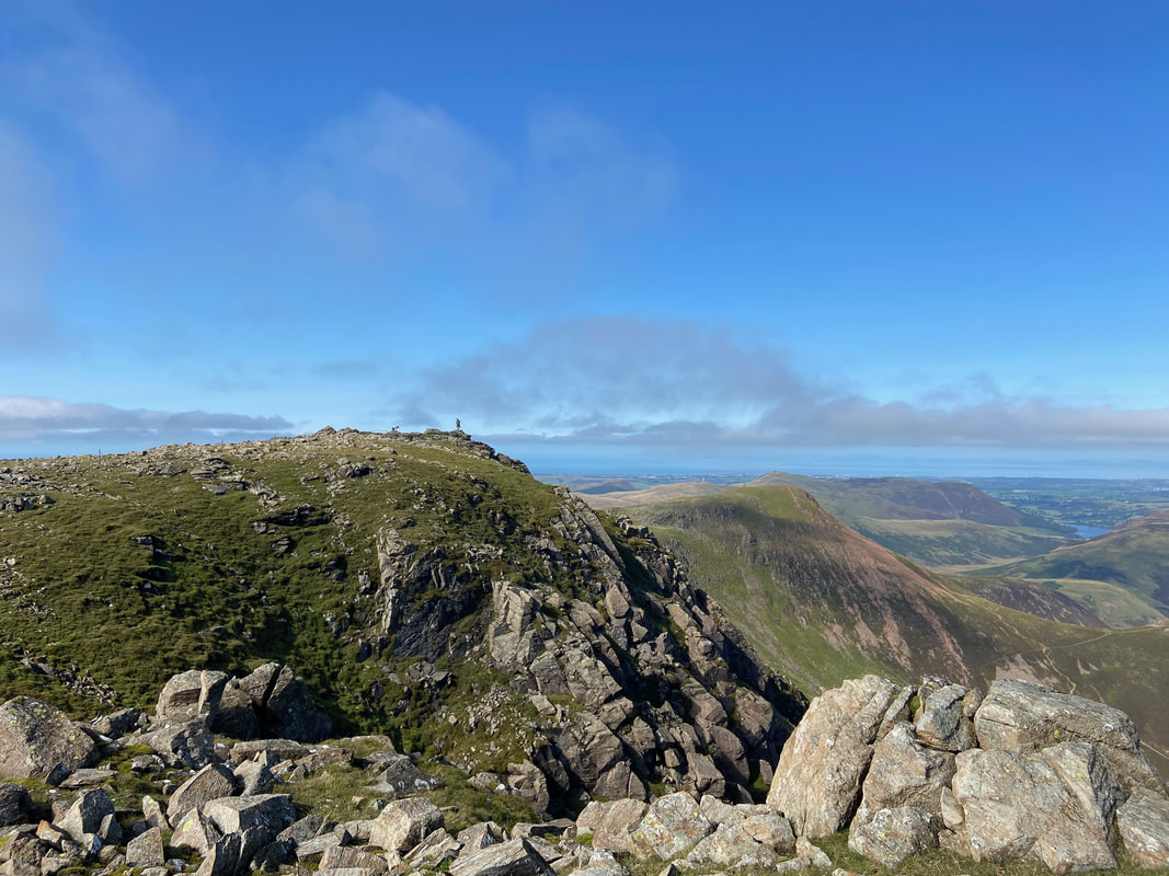
Looking back to the Wainwright summit from the second top - the walker gives the picture a sense of scale
The glorious view to the north from High Stile
Looking south east from High Stile
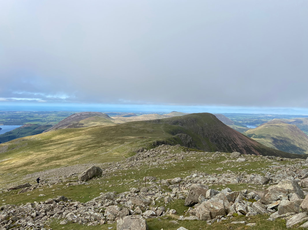
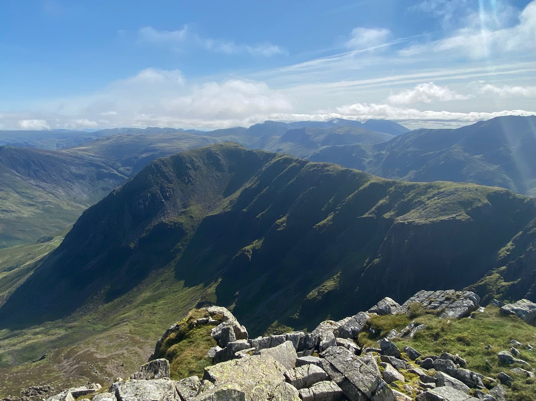
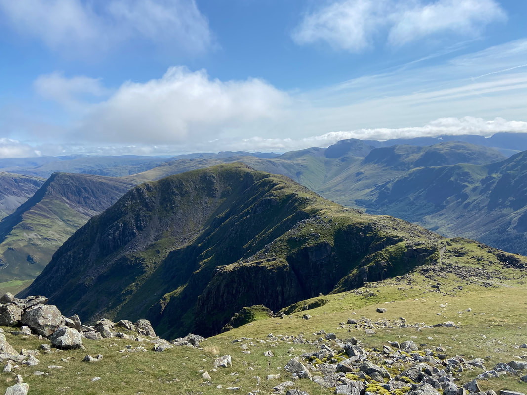
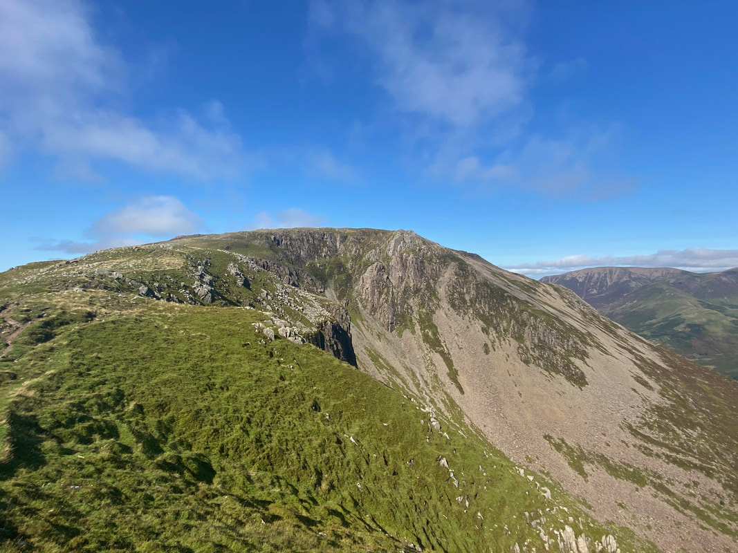
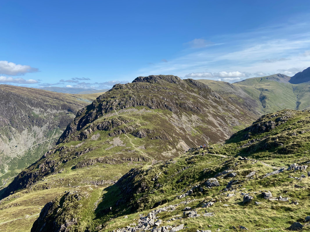
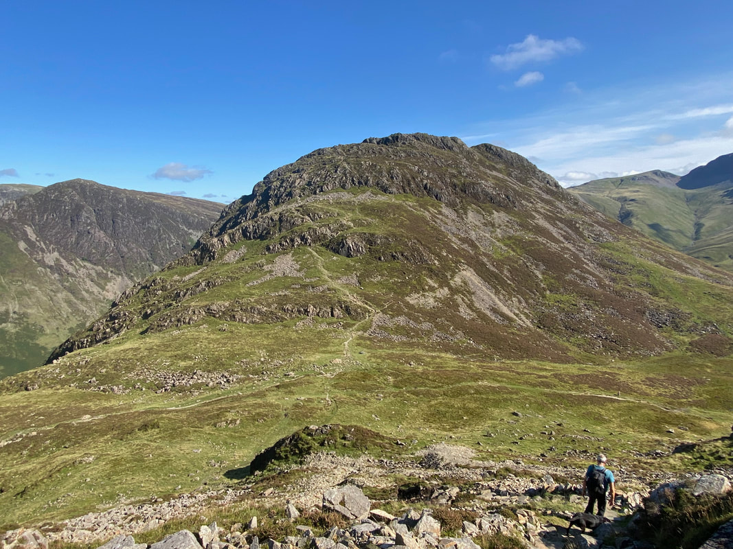
Looking to our next summit of High Crag from High Stile - the northern side of the fell seen here is called Comb Crags
Another view of High Crag showing our route over to the summit with Fleetwith Pike to the left.
Kirk Fell to the left with The Scafells distant and Pillar in the immediate foreground
Looking down one of the many gullies as we transit along Comb Crags towards High Crag
High Stile & Burtness Comb from High Crag
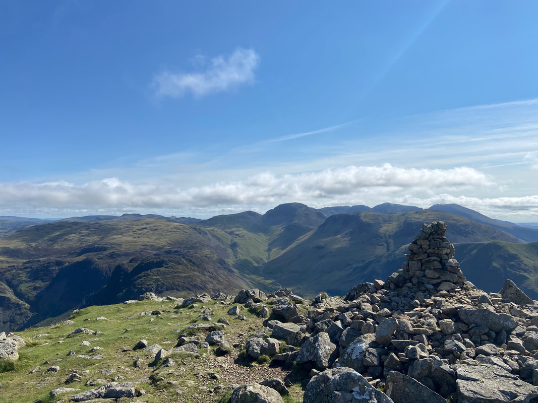
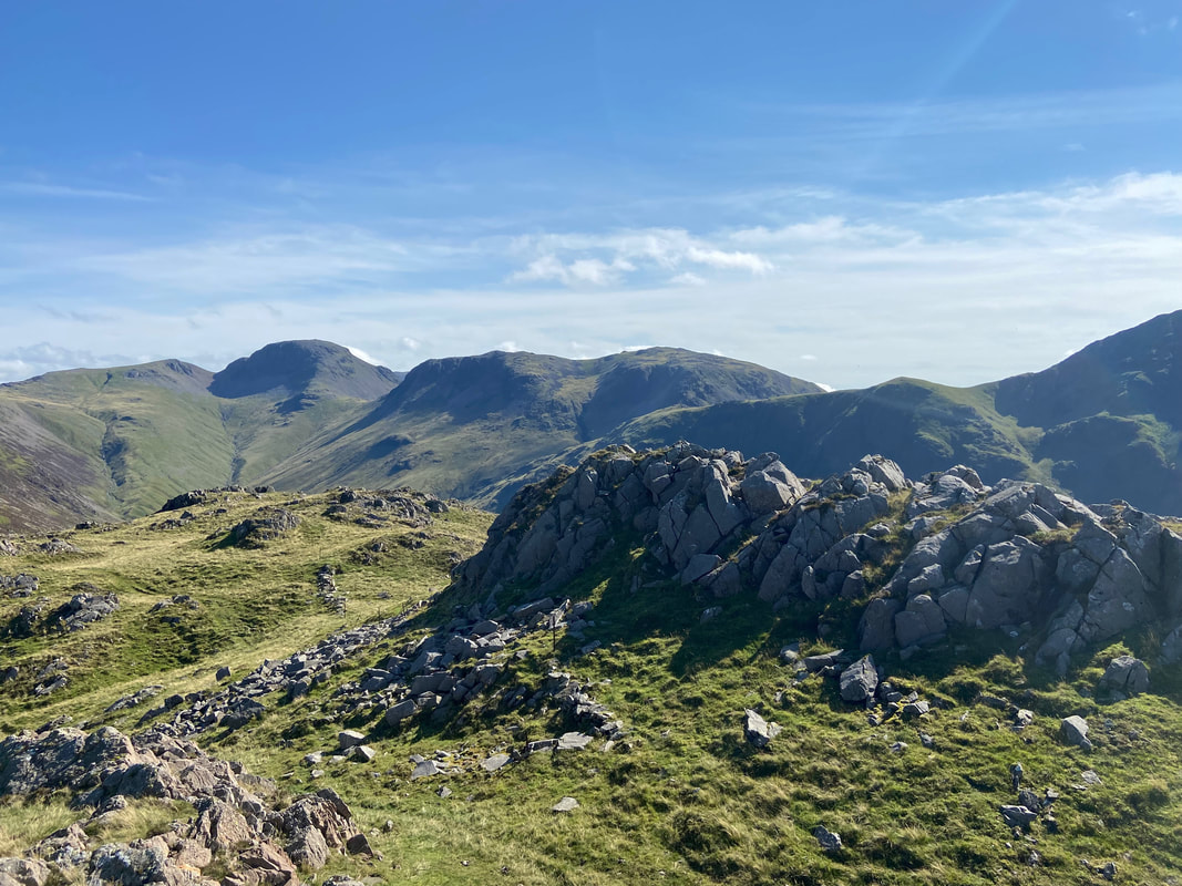
The summit of High Crag with Great Gable centre and The Scafells to the right
Another superb view from the summit of High Crag - this time looking to the east
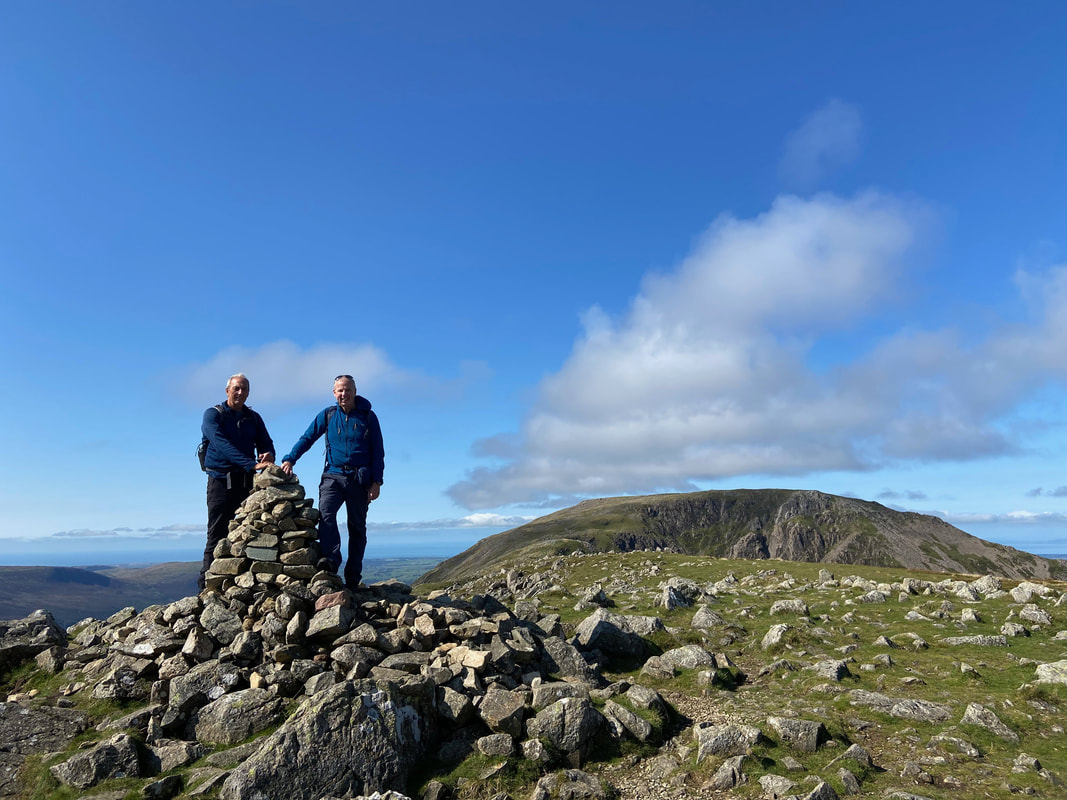
Peter & Malcolm on the summit of High Crag
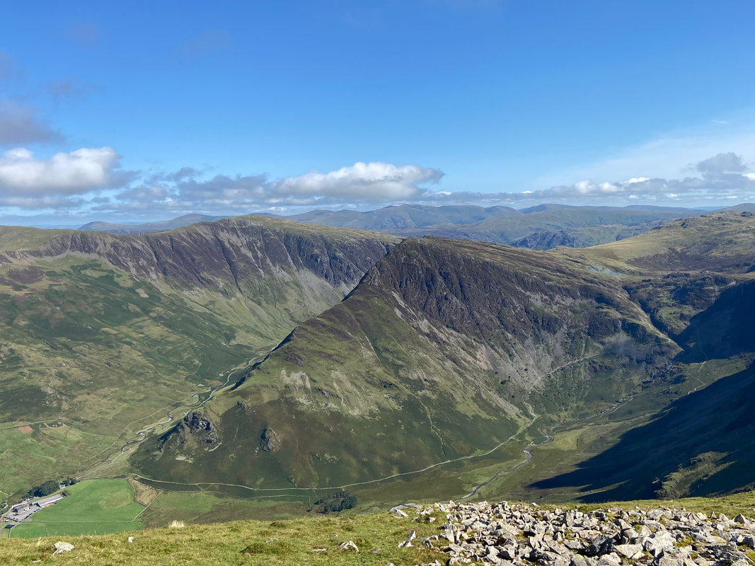
Dale Head, Fleetwith Pike & Warnscale Bottom with the Helvellyn Range in the far distance
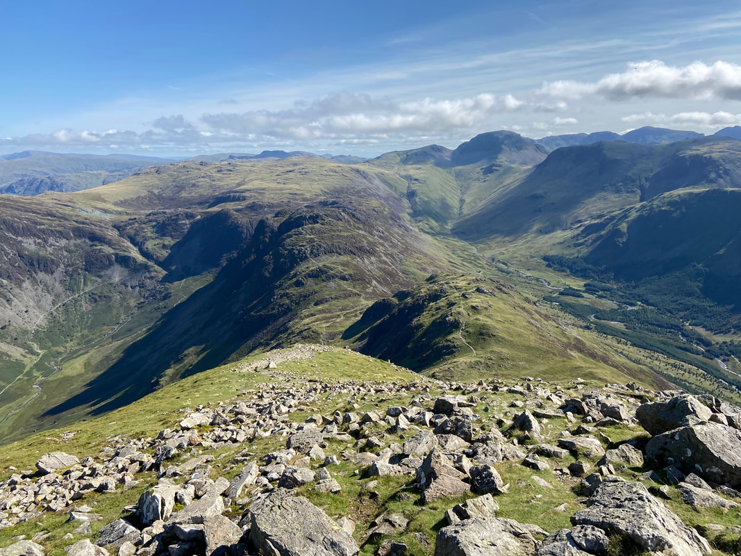
Descending Gamlin End with Seat below and Haystacks across Scarth Gap
Robinson takes centre stage as we continue our descent of Gamlin End. Skiddaw is in the left far distance with Blencathra to the right
A short way down the descent of Gamlin End the path splits at Grid Reference NY 18148 13939. We kept to the right and followed this path which leads to Seat. The path to the left is not recommended - whilst it cuts down on some of the mileage it is not the most pleasant of descents if I'm honest.
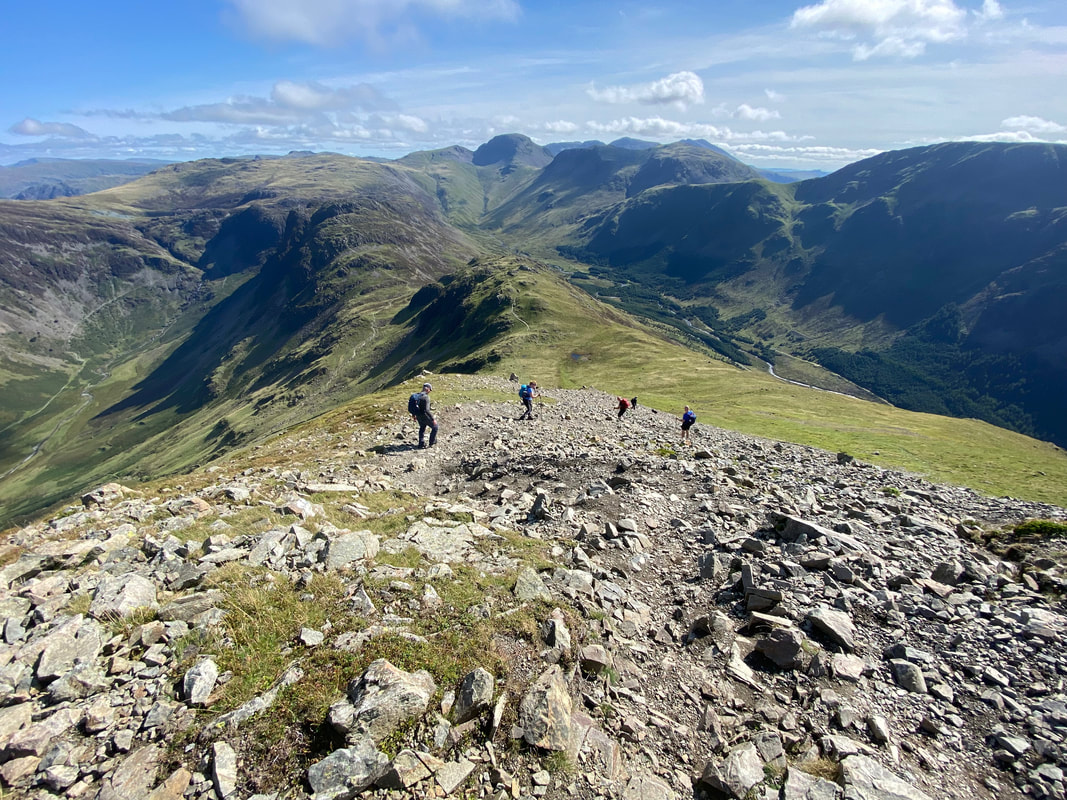
Descending Gamlin End with Seat below - a steep descent over loose stone makes for an interesting transit.
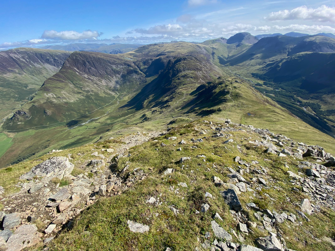
A look back up Gamlin End and our route of descent
Near the foot of Gamlin End the loose stone becomes a pitched path
Approaching Seat we had a quick look back at our descent from Gamlin End
The summit of Seat looking to Green & Great Gable with Kirk Fell centre
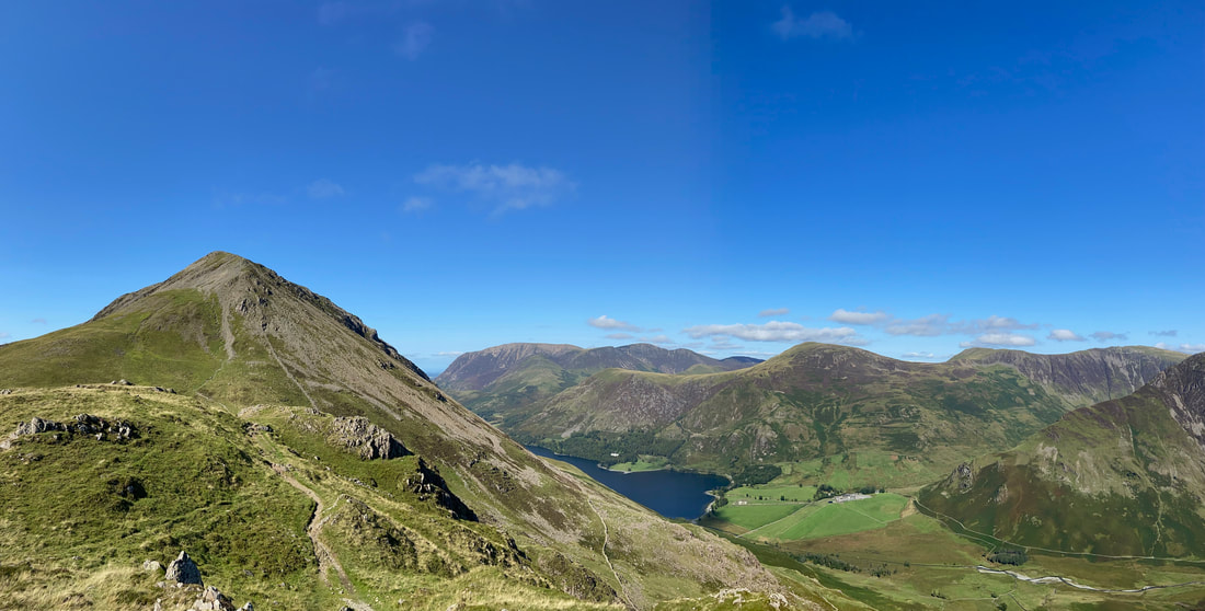
A panorama of High Crag, Buttermere and the North Western Fells
Haystacks across Scarth gap from the summit of Seat
Scarth Gap below us now as we complete the descent of Seat. Once down at the gap we would be heading left back to Buttermere - the path heading to the right leads to Black Sail Youth Hostel at the head of Ennerdale.
Looking to Gamlin End and High Crag from Scarth Gap. The left hand path I mentioned earlier can just about be seen coming down the fell side and again it is not one I would recommend.
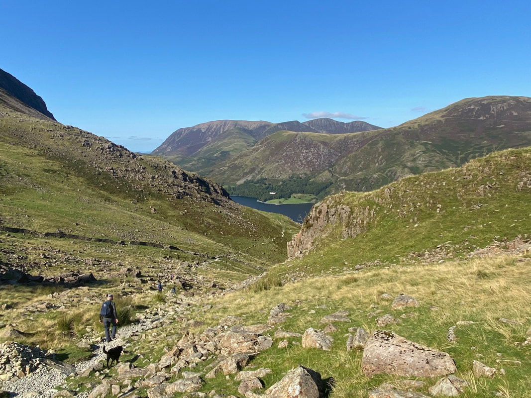
Heading down the Scarth Gap Pass back to Buttermere
Another superb view of Fleetwith Pike across Warnscale Bottom
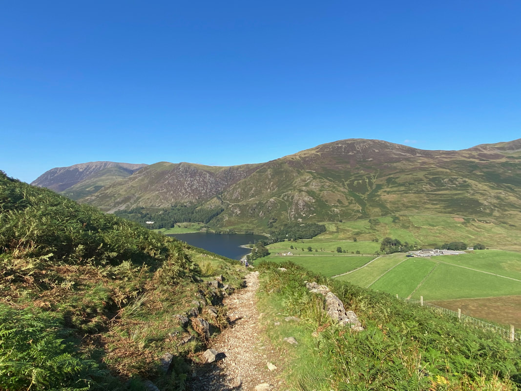
The gradient easing now as we approach the lake. The farm to the right is Gatesgarth.
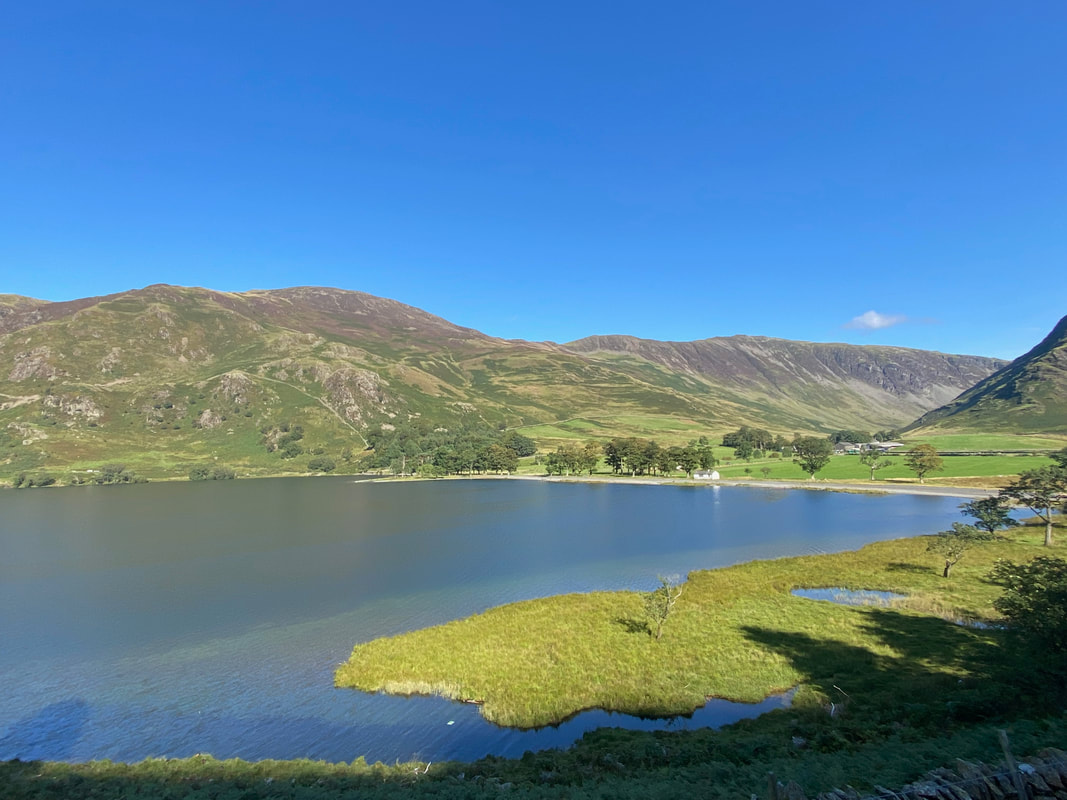
It was turning into a beautiful day now as we look across Buttermere towards Gatesgarth
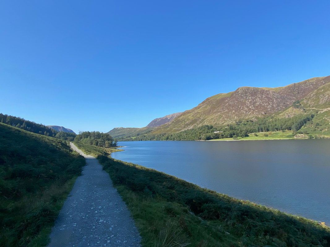
The lakeshore path back to Buttermere village
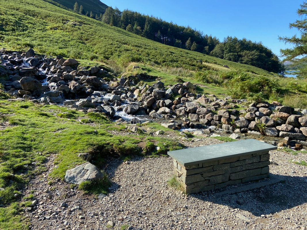
The Stuart Elliott Memorial Bench
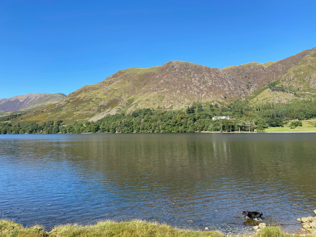
Nearing the end, it was time for Poppy to have a lovely swim in the lake
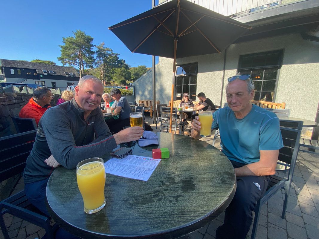
Cheers chaps and thanks for your company on a lovely day out.
