Scale Knott - Thursday 20 August 2020
Route
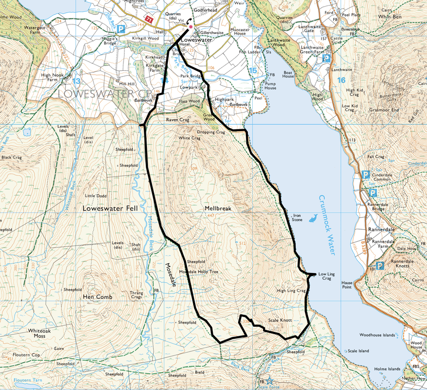
Loweswater - Park Bridge - Lowpark - Crummock Water - Low Ling Crag - Scale Knott - Mosedale - Mosedale Beck - Kirkgate - Church Bridge - Loweswater
Parking
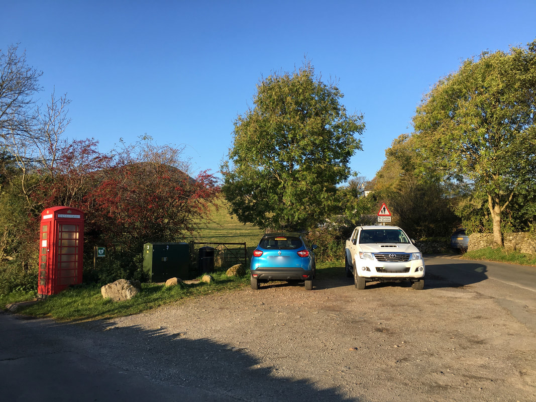
Small parking area by the village telephone box in Loweswater (Free) - Grid Ref NY143211. The nearest postcode is CA13 9UX. Please park sensibly at this location.
Mileage
6.5 miles
Terrain
Good paths throughout.
Weather
Extremely windy, yet sunny with good visibility.
Time Taken
3hrs 10mins
Total Ascent
931ft (284m)
Map
OL4 The English Lakes (North Western Area)
Walkers
Dave, Angie & Fudge
|
GPX File
|
| ||
If the above GPX file fails to download or presents itself as an XML file once downloaded then please feel free to contact me and I will send you the GPX file via e-mail.
Route Map
There are a few parking areas and Car Parks in and around Loweswater that can be used for this walk.
The parking area we used today was just as you enter the village where there is room for a few cars - however please park sensibly as this is a road junction.
The parking area we used today was just as you enter the village where there is room for a few cars - however please park sensibly as this is a road junction.
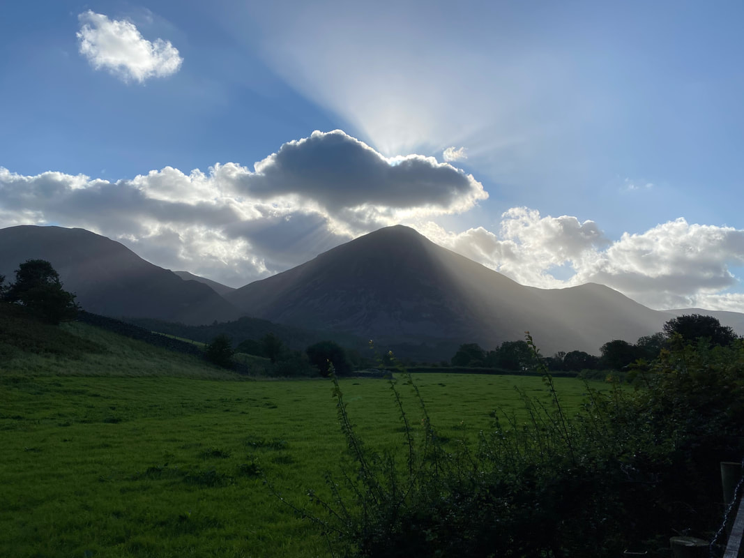
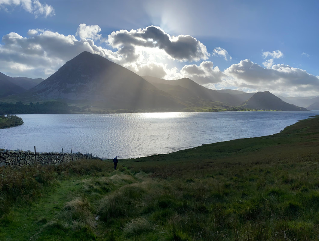
Into the sun near Lowpark looking to Whiteside, Grasmoor & Whiteless Pike
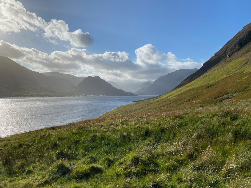
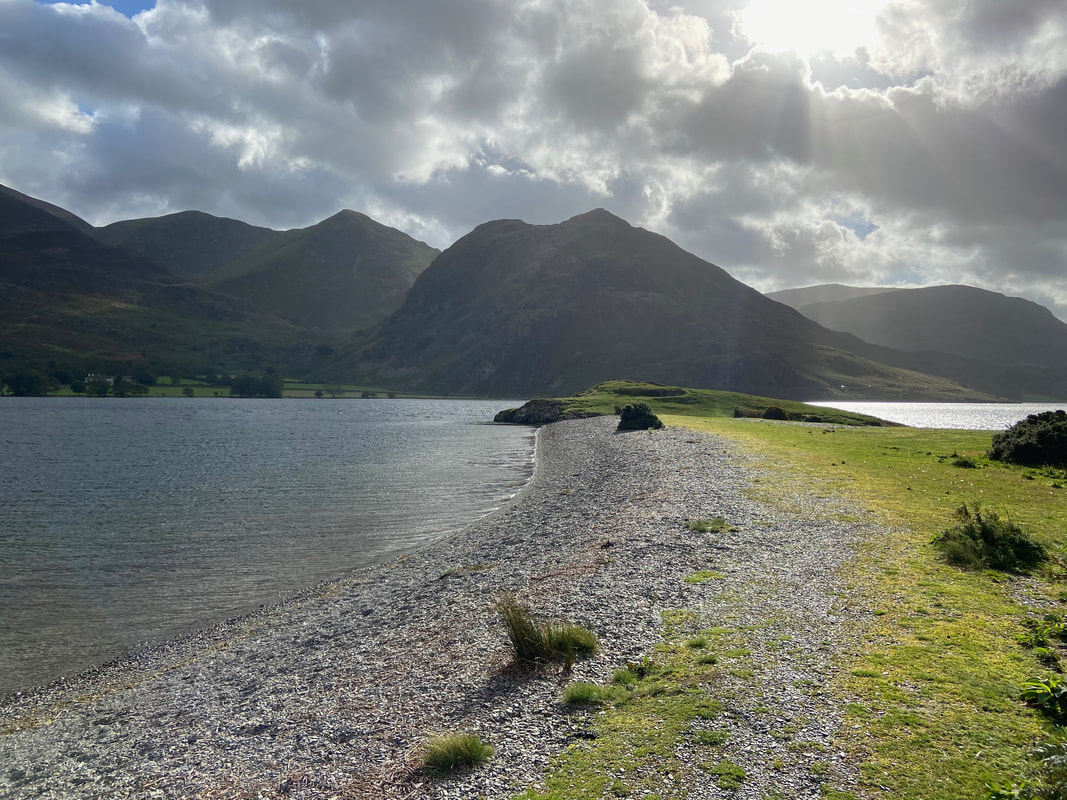
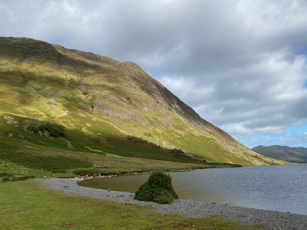
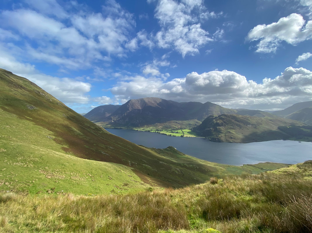
Crummock Water with Rannerdale Knotts left of centre. Our path along the western side of the lake stretches ahead.
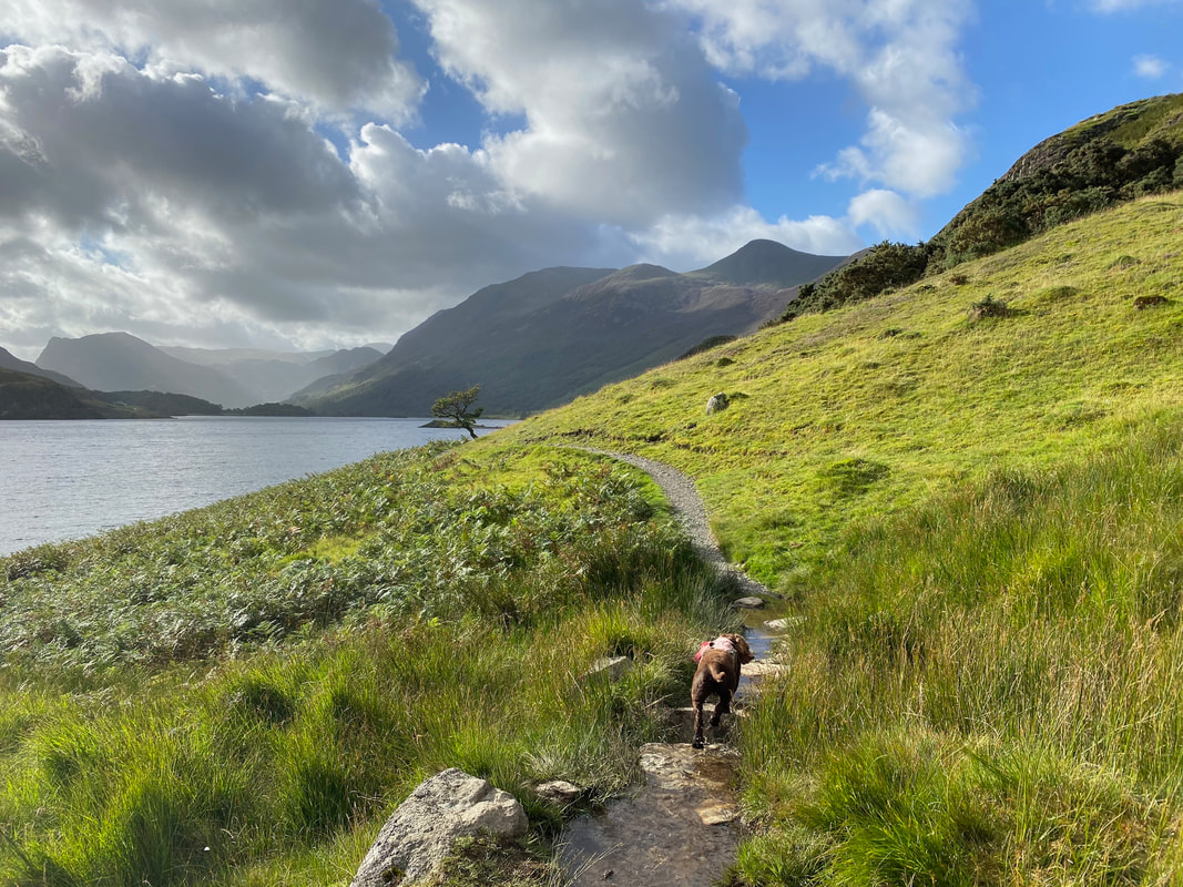
To reach the lakeshore the route handrails a wall before turning to the right
Fudge once more in "trundle" mode as we head along the lakeshore
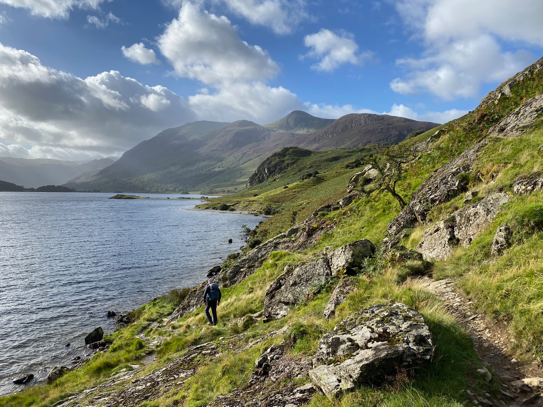
A few hundred yards in and the path becomes undulating & rocky. Ahead jutting out into Crummock Water is Low Ling Crag with High Ling Crag in the centre. The fells in the distance are High Stile, Dodd, Red Pike & Blea Crag.
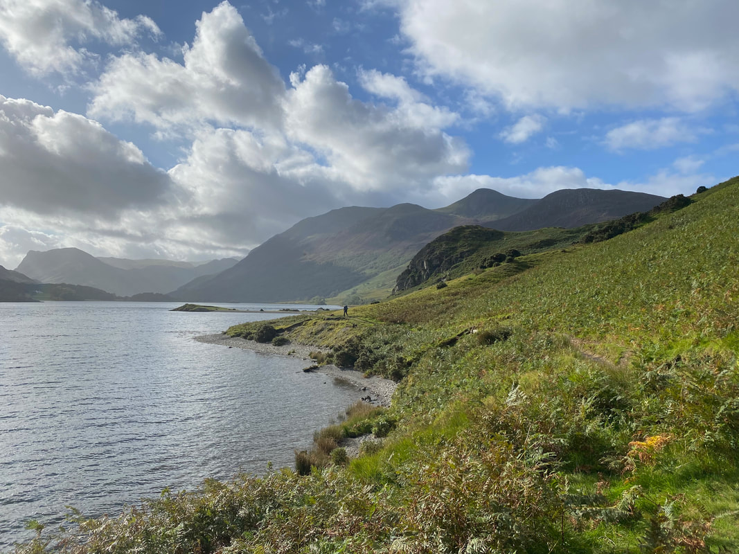
After the rocky section the lakeshore path flattens out and becomes grassy in part.
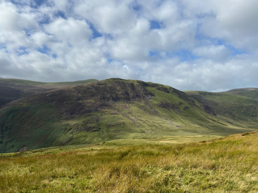
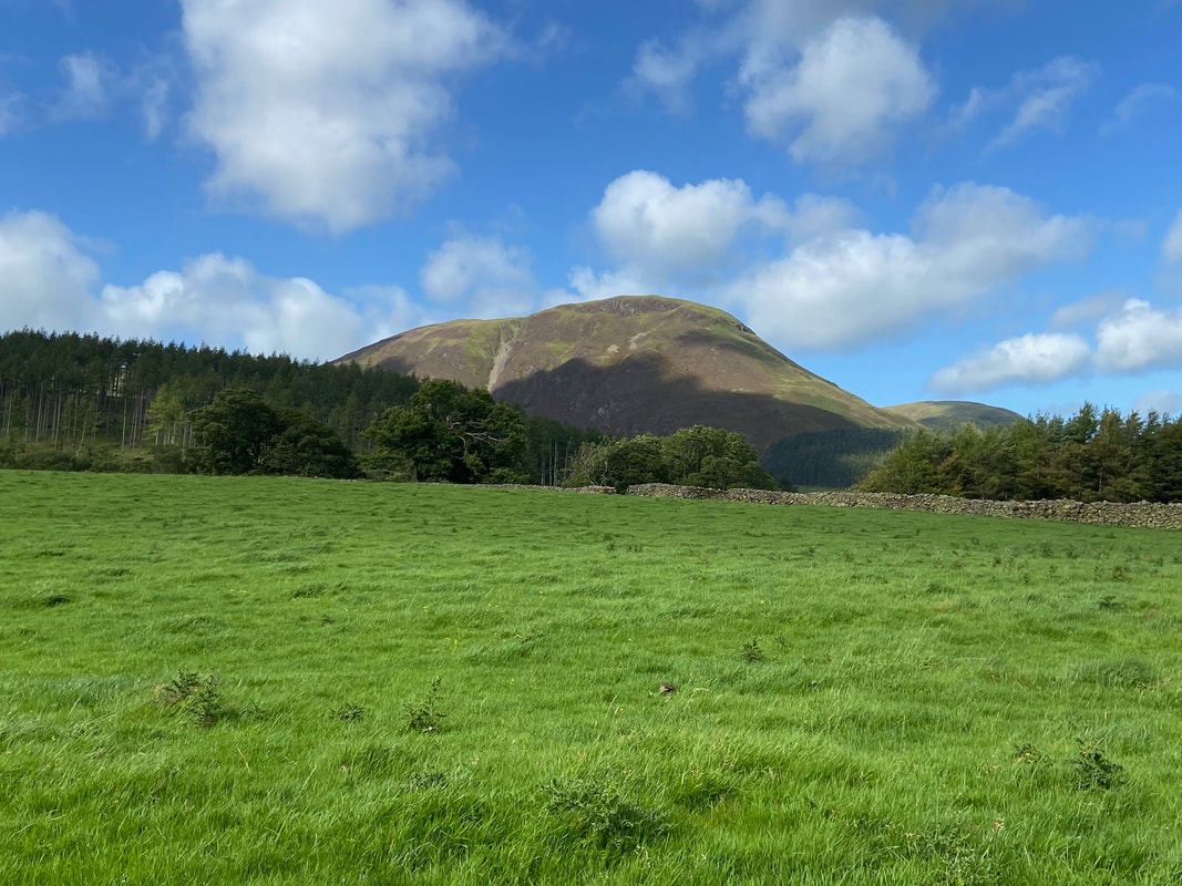
The southern end of Mellbreak
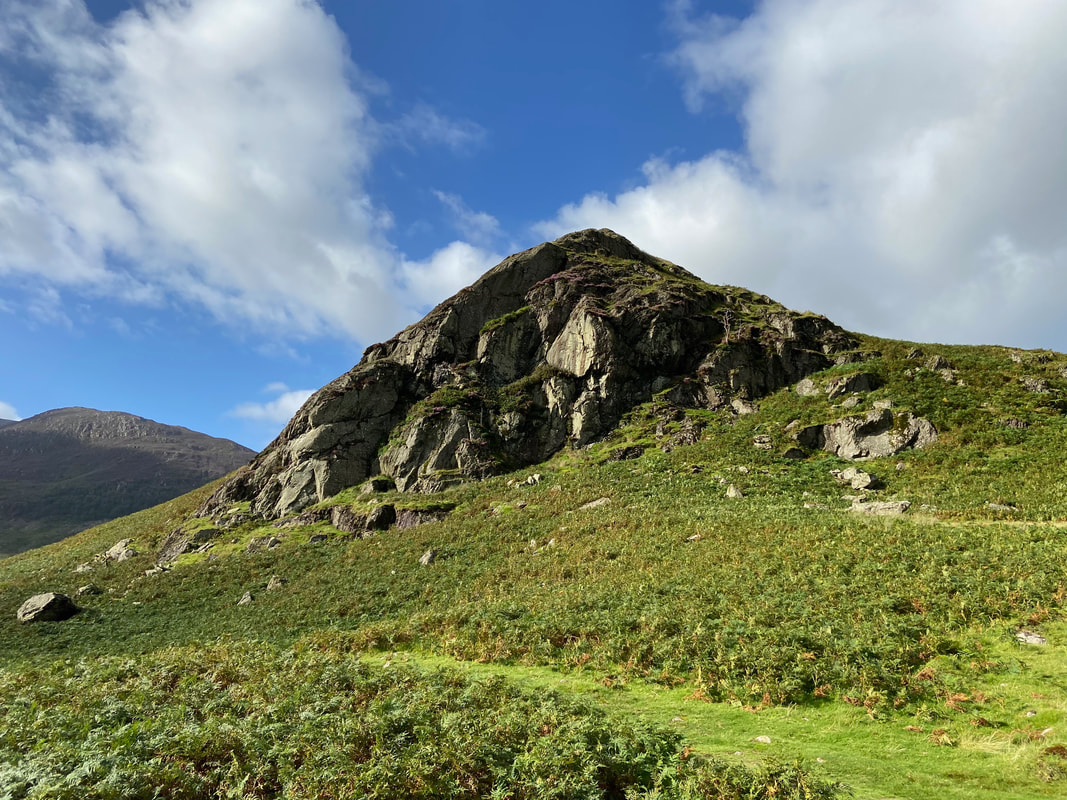
High Ling Crag
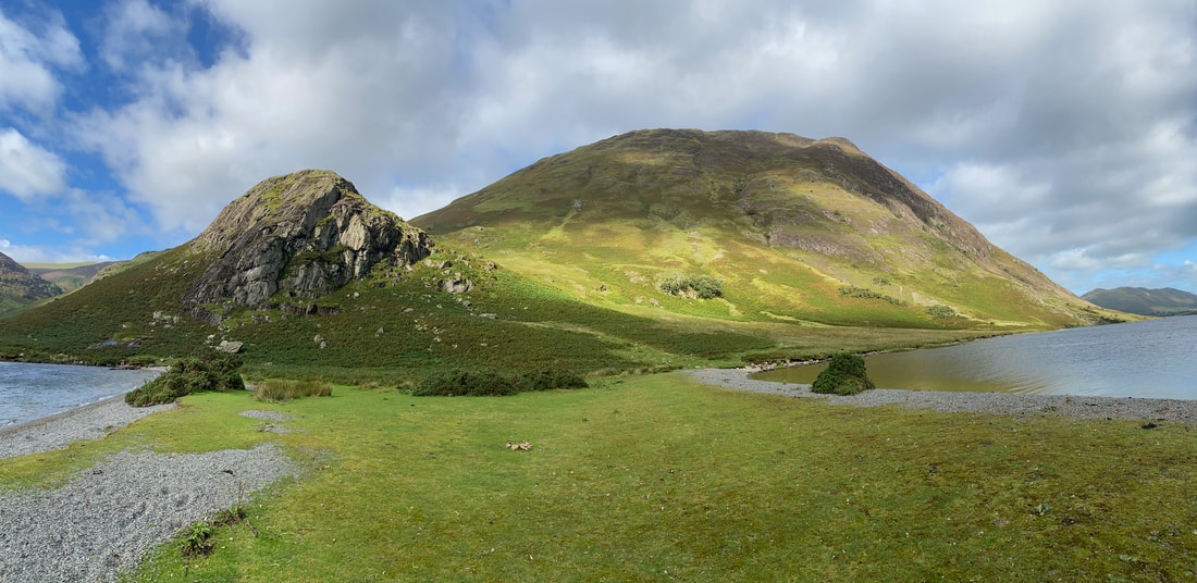
From the lakeshore a path leads out on to the peninsula of Low Ling Crag
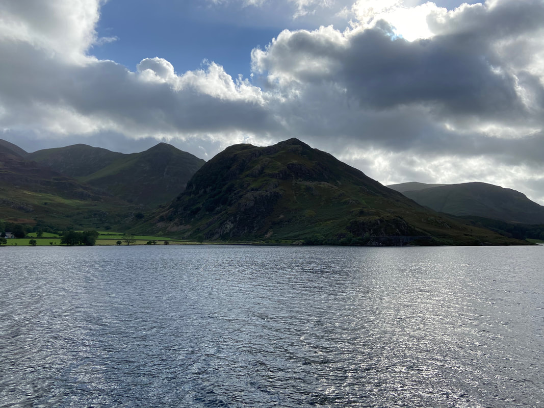
The High Stile Ridge from Low Ling Crag
A view back down the western lakeshore from High Ling Crag
High Ling Crag & Mellbreak from Low Ling Crag. Our next destination of Scale Knott sits behind High Ling Crag.
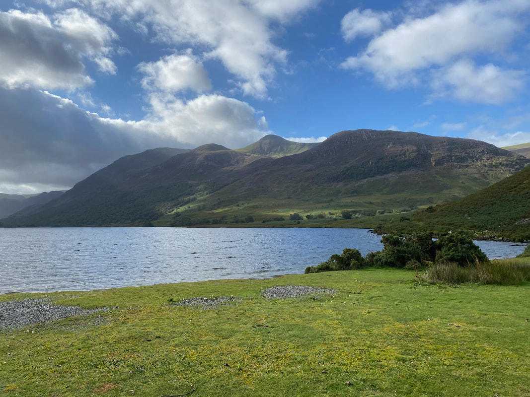
Rannerdale Knotts & Hause Point across Crummock Water
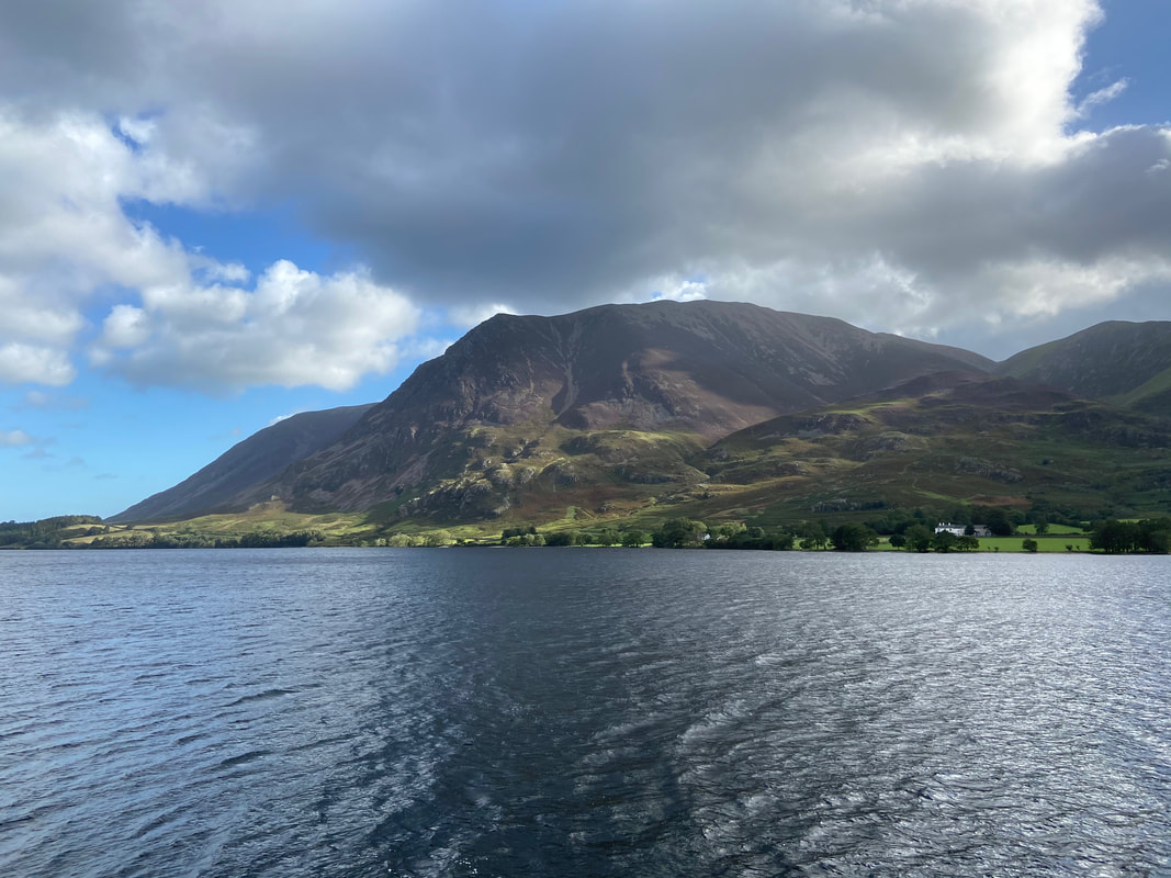
Grasmoor & Lad Hows
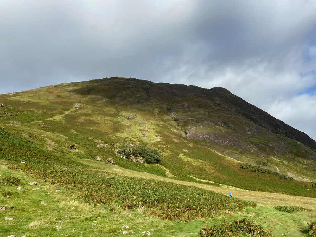
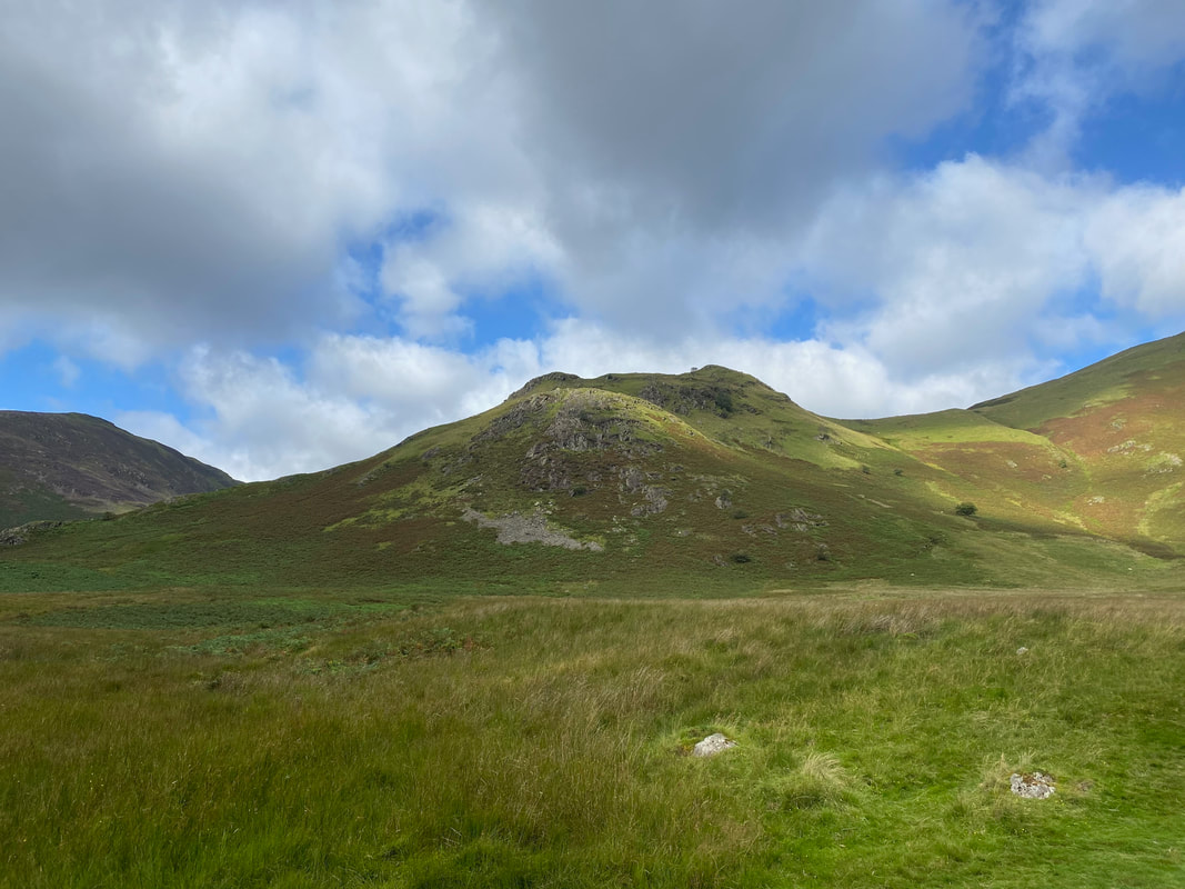
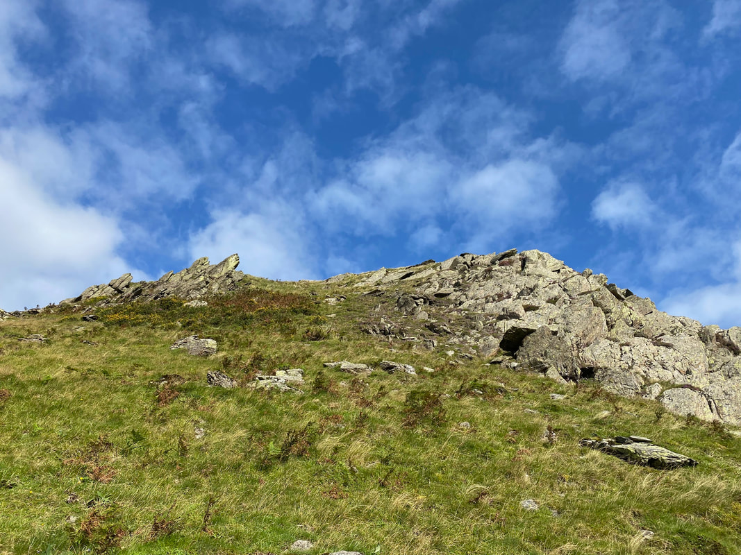
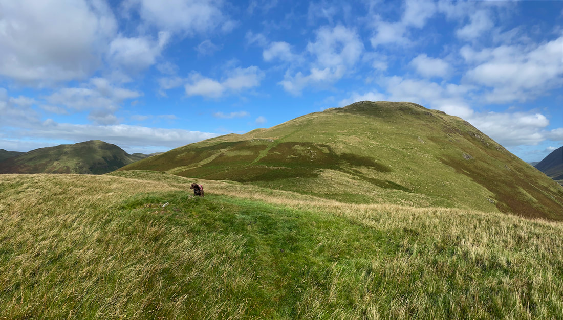
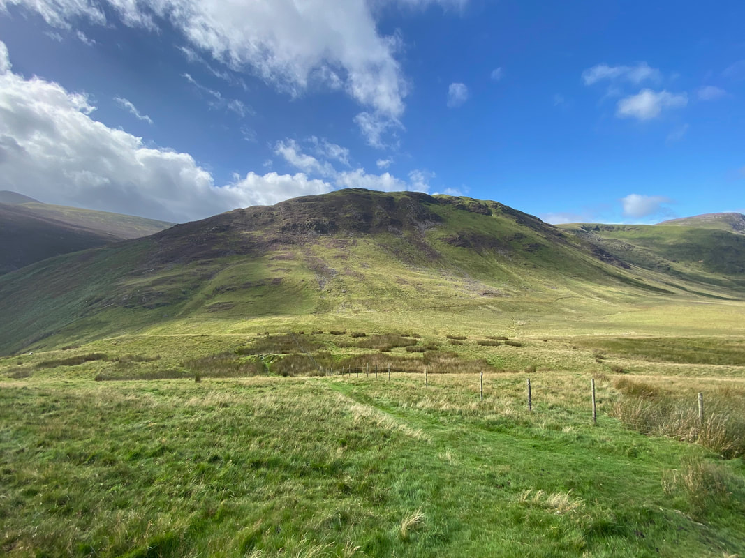
Scale Knott - our access path is to the left
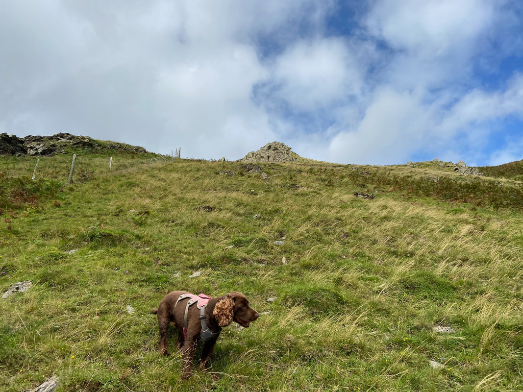
Fudge pauses for a breather as we ascend Scale Knott - a fence is handrailed almost to the summit
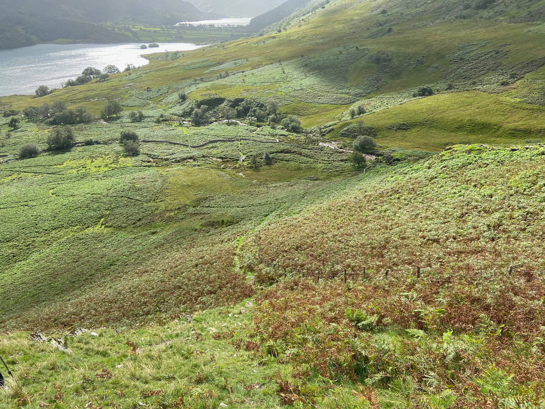
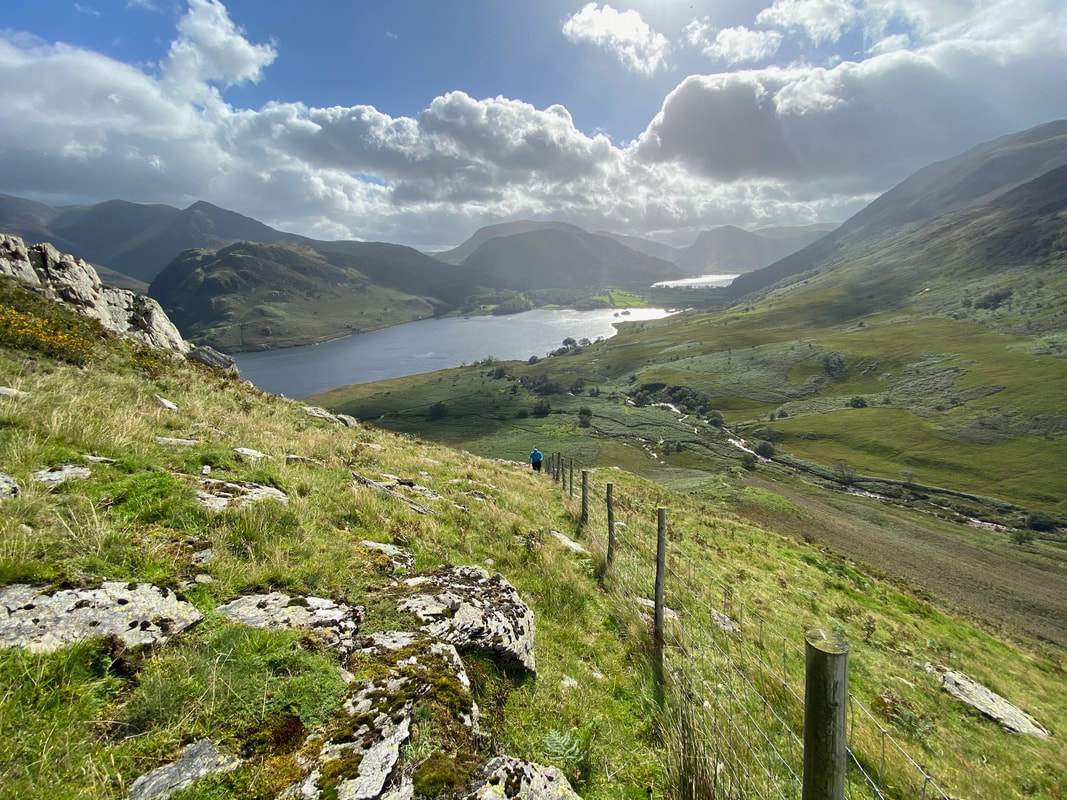
Looking back down our route of ascent of Scale Knott - our path had come in from the left then joined the fence line
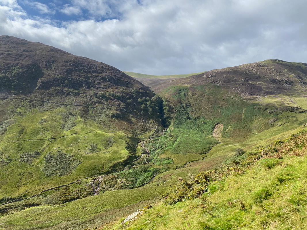
Looking across the valley to Scale Force which is hidden in the trees centre of shot. Blea Crag is to the left with Gale Fell to the right.
Nearing the summit of Scale Knott the path fence line reaches a rocky outcrop
A superb view to the rear as Angie heads up the fence line
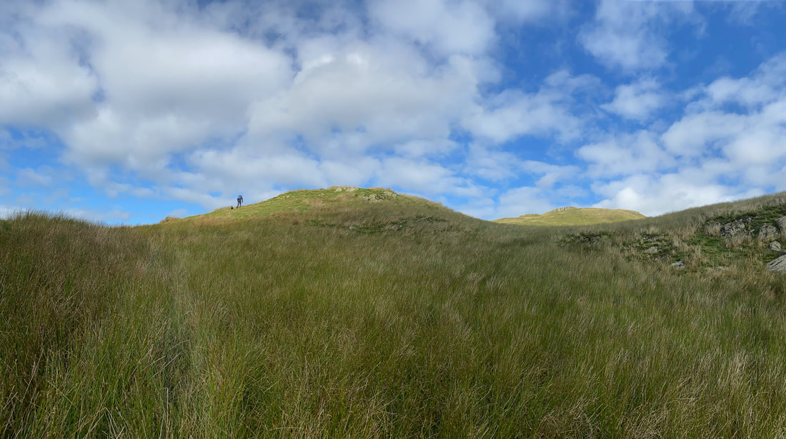
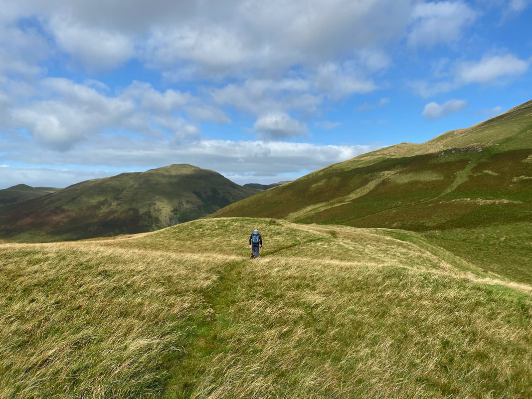
The path leaves the fence line to head to the left leaving a simple stroll to Scale Knott's summit
The view over to Grasmoor from the summit of Scale Knott
Gale Fell with Starling Dodd to the rear
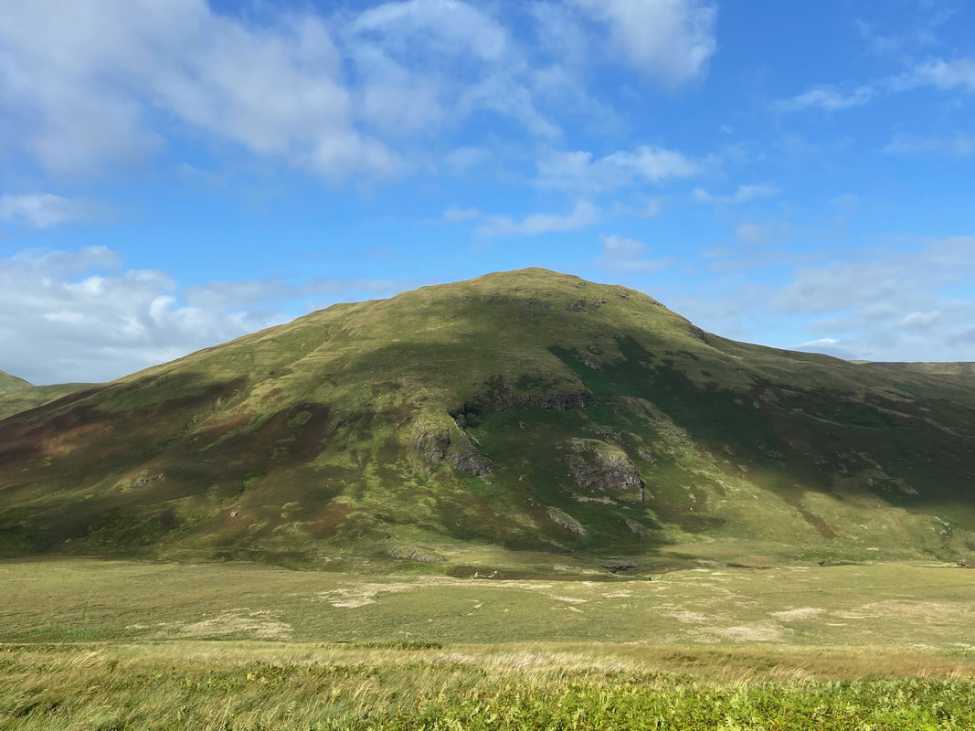
The understated summit of Scale Knott with Mellbreak to the rear and Hen Comb to the left
From the summit a good path heads towards Mellbreak before doubling back on itself
Looking towards Floutern Tarn with Great Borne to the left and the small lump of Floutern Cop right of centre
Another look at Gale Fell
Hen Comb & Thrang Crags across Mosedale
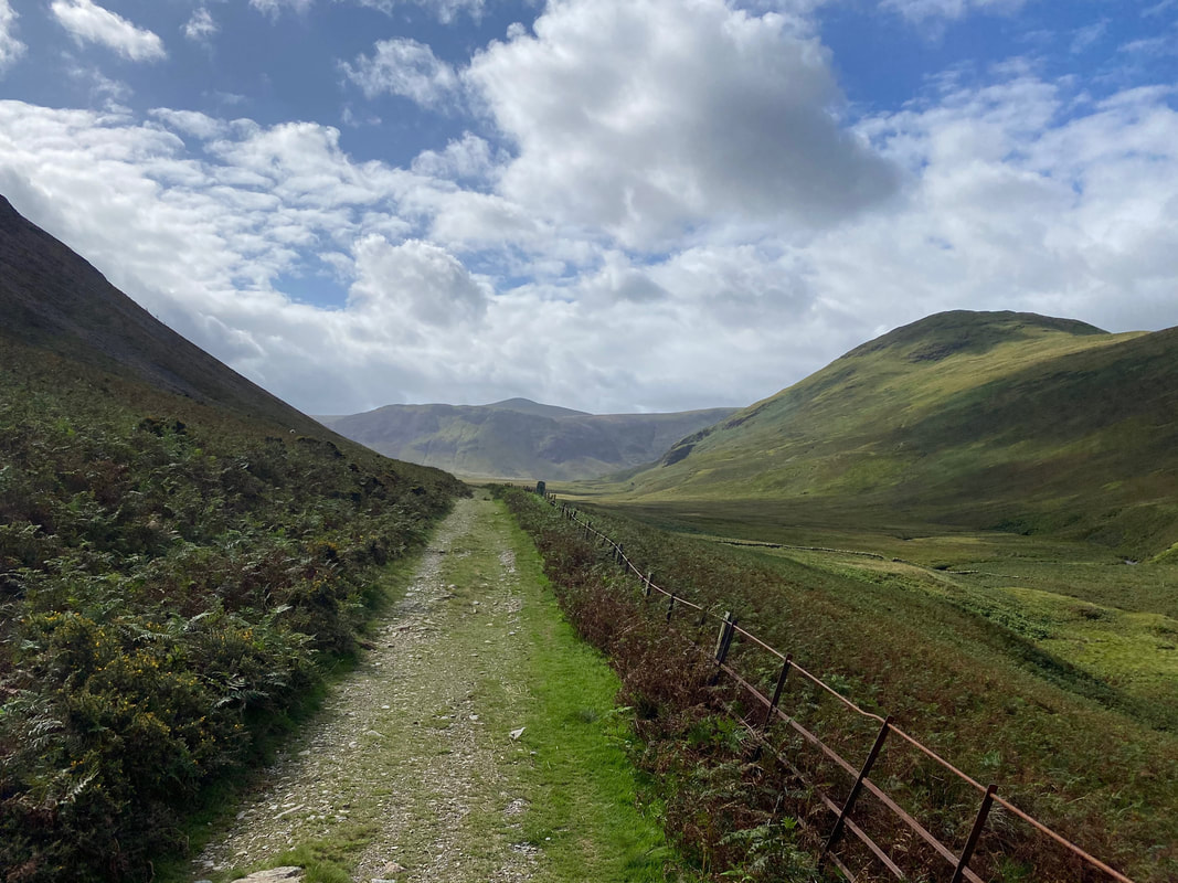
Returning to Loweswater via Mellbreak's western flank. The lone tree on the left is the "Mosedale Holly Tree" and is marked as such on the OS Map - "not a rowan or a thorn which might possibly have been expected but a holly, a healthy and flourishing holly" (Mellbreak 4).
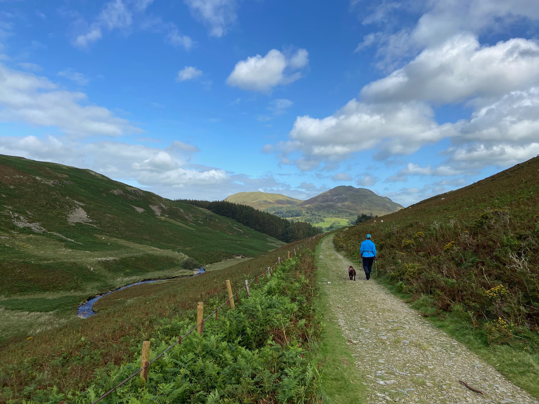
Nearing Loweswater with Mosedale Beck to the left
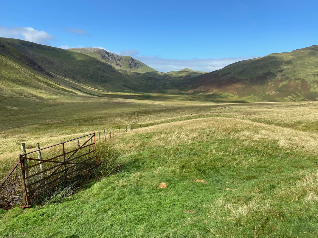
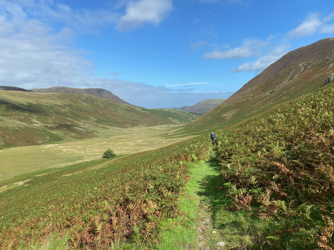
Looking back along Mosedale to Starling Dodd
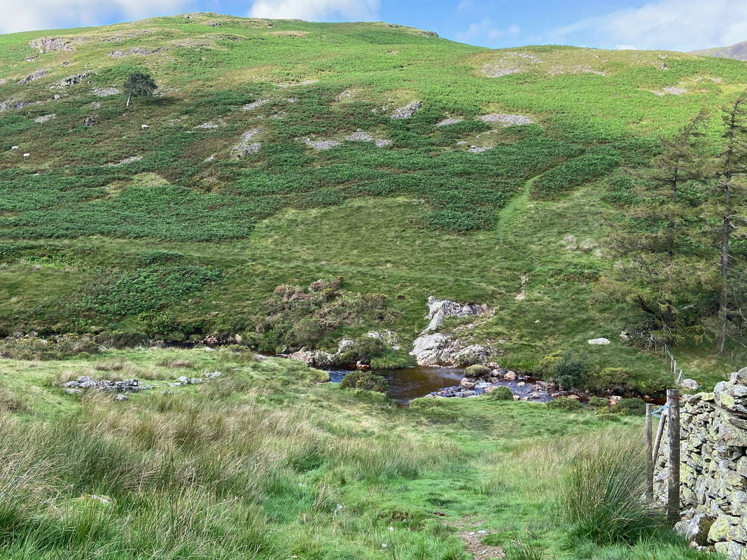
The Mosedale Beck crossing point which is used when making the ascent of Hen Comb. If you are doing this route it is best to cross the beck at the end of your walk as by and large your feet will get wet.
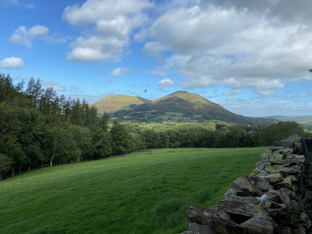
Darling Fell & Low Fell
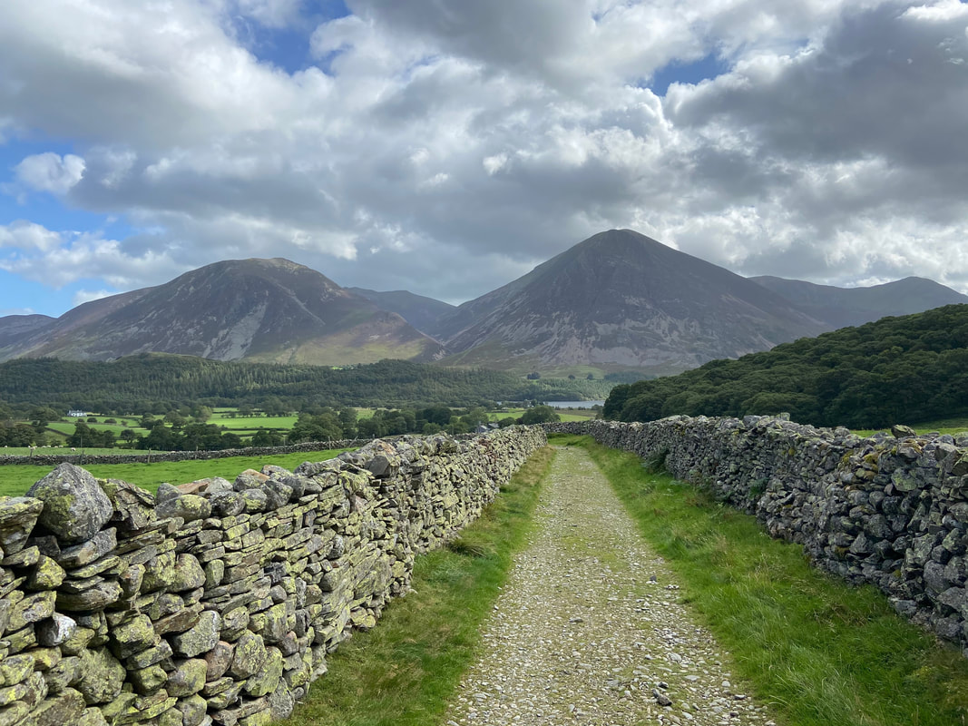
After Mosedale Beck the route joins a farm track that zig zags towards Kirkgate Farm giving a glorious view of Grasmoor
Carling Knott
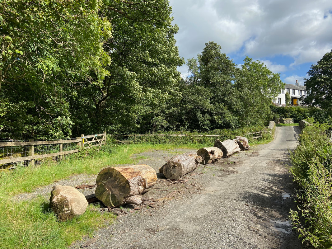
Our usual parking area at Church Bridge which I am assuming has been blocked off by either the Farmer or the LDNPA
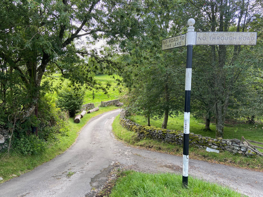
Wainwight drew this sign and labelled it "A negative signpost (intended to help motorists)" - in the intervening years the wording has changed slightly but the message is still relevant today (Mellbreak 4)
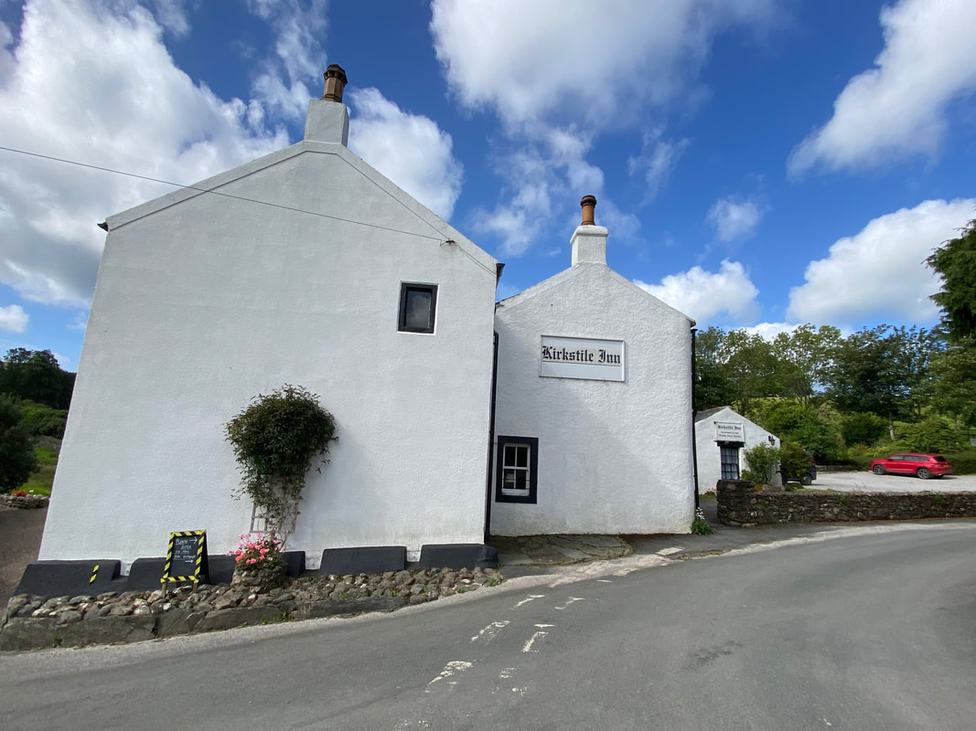
Another cracking Lakeland Pub which is responsible for my addiction to Loweswater Gold
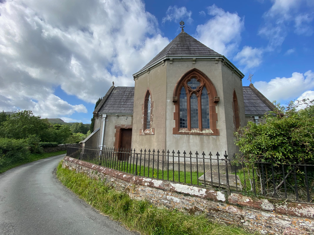
St Bartholemew's Church, Loweswater
