Hartsop Dodd & Caudale Moor - Sunday 19 January 2020
Route
Sykeside - Hartsop Hall - Brothers Water - Cow Bridge - Hartsop - Hartsop Dodd - Stony Cove Pike (Caudale Moor) - Atkinson Monument - John Bell's Banner - Threshthwaite Mouth - Pasture Bottom - Hartsop - Cow Bridge - Brothers Water - Hartsop Hall - Sykeside
Parking
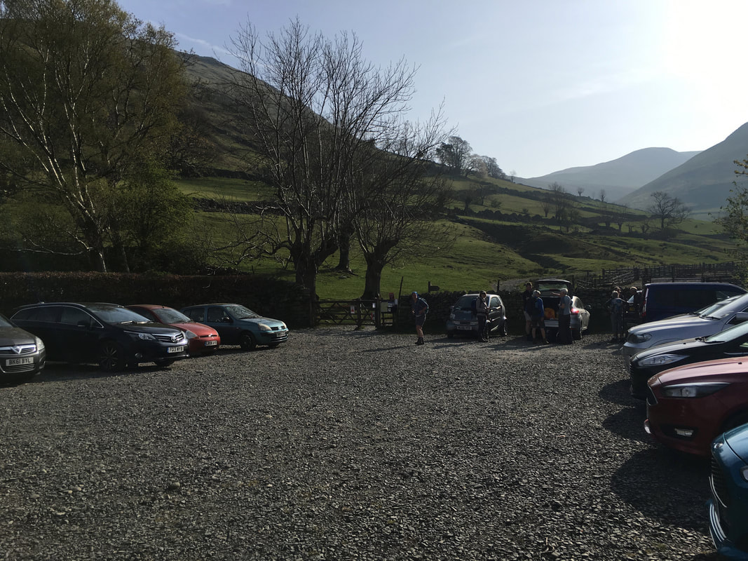
We started today's walk from Sykeside Camping Park where today's walking companions were staying however in normal course this walk could be started from either Cow Bridge (Free, Grid Ref NY403134 & Nearest postcode is CA11 0NY) or Hartsop Village (Donation in box by the gate, Grid Ref NY41001301 & nearest postcode CA11 0NZ)
Mileage
10 miles
Terrain
Good mountain paths throughout. The descent to Threshthwaite Mouth from Caudale Moor is extremely steep therefore care needs to be taken.
Weather
The snowline was at around 700m and was soft underfoot. The day was cold with fresh breezes and some sunny spells.
Time Taken
6hrs 35mins
Total Ascent
2657ft (m)
Wainwrights
2
Map
OL5 - The English Lakes - North Eastern Area
Walkers
Dave, Angie & Fudge with Janet, Geoff, Roxy & Ada
Sykeside - Hartsop Hall - Brothers Water - Cow Bridge - Hartsop - Hartsop Dodd - Stony Cove Pike (Caudale Moor) - Atkinson Monument - John Bell's Banner - Threshthwaite Mouth - Pasture Bottom - Hartsop - Cow Bridge - Brothers Water - Hartsop Hall - Sykeside
Parking
We started today's walk from Sykeside Camping Park where today's walking companions were staying however in normal course this walk could be started from either Cow Bridge (Free, Grid Ref NY403134 & Nearest postcode is CA11 0NY) or Hartsop Village (Donation in box by the gate, Grid Ref NY41001301 & nearest postcode CA11 0NZ)
Mileage
10 miles
Terrain
Good mountain paths throughout. The descent to Threshthwaite Mouth from Caudale Moor is extremely steep therefore care needs to be taken.
Weather
The snowline was at around 700m and was soft underfoot. The day was cold with fresh breezes and some sunny spells.
Time Taken
6hrs 35mins
Total Ascent
2657ft (m)
Wainwrights
2
Map
OL5 - The English Lakes - North Eastern Area
Walkers
Dave, Angie & Fudge with Janet, Geoff, Roxy & Ada
|
GPX File
|
| ||
If the above GPX file fails to download or presents itself as an XML file once downloaded then please feel free to contact me and I will send you the GPX file via e-mail.
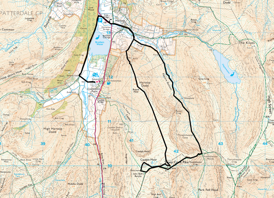
Route Map
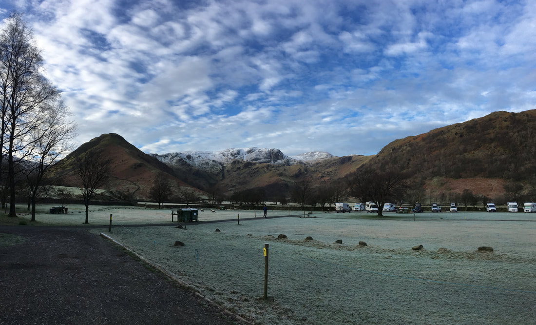
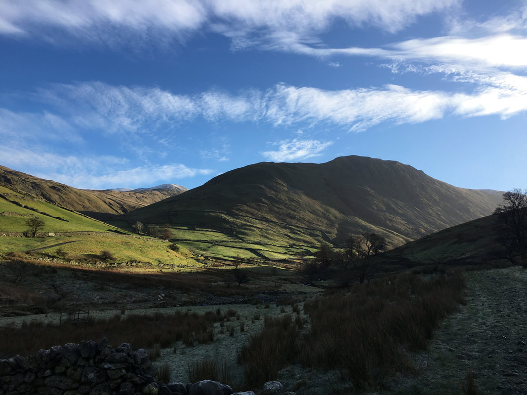
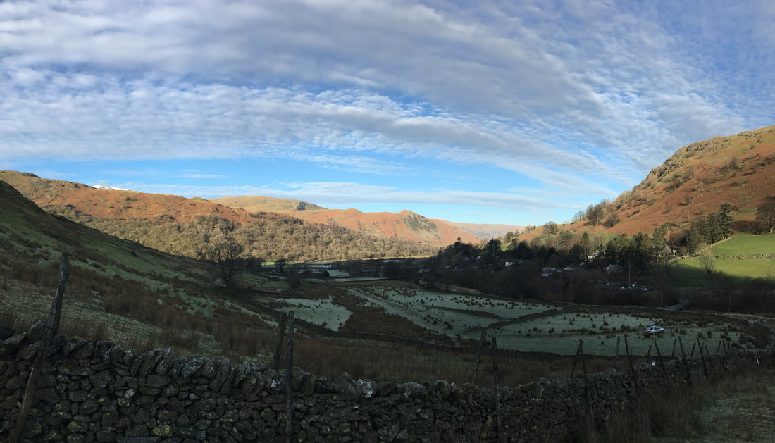
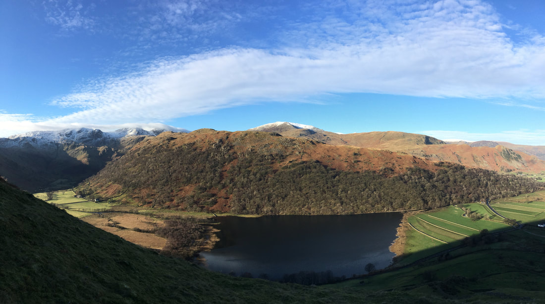
The view from Sykeside to High Hartsop Dodd, Dove Crag, Fairfield and Hartsop Above How
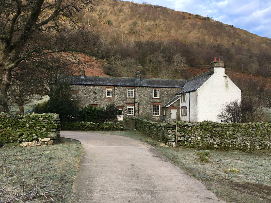
Hartsop Hall
Hartsop Hall is a 16th Century Grade I listed building of great historical significance and is owned by the National Trust. It is an important valley-head farm. The house itself contains many fascinating features such as priest holes. There are various outlying barns on the estate, all examples of vernacular Lake District constructions of the 16th and 17th centuries, featuring cruck frames, bank barns, etc, as well as two farm holiday cottages. Hartsop Hall is a working farm of some 3000 acres with a flock of 800 predominantly Swaledale sheep and a herd of 30 Aberdeen Angus beef suckler cows.
Hartsop Hall is a 16th Century Grade I listed building of great historical significance and is owned by the National Trust. It is an important valley-head farm. The house itself contains many fascinating features such as priest holes. There are various outlying barns on the estate, all examples of vernacular Lake District constructions of the 16th and 17th centuries, featuring cruck frames, bank barns, etc, as well as two farm holiday cottages. Hartsop Hall is a working farm of some 3000 acres with a flock of 800 predominantly Swaledale sheep and a herd of 30 Aberdeen Angus beef suckler cows.
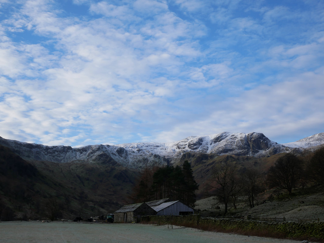
Looking into Dovedale to Dove Crag & Hart Crag (far right)
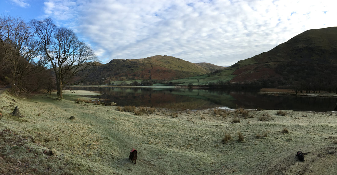
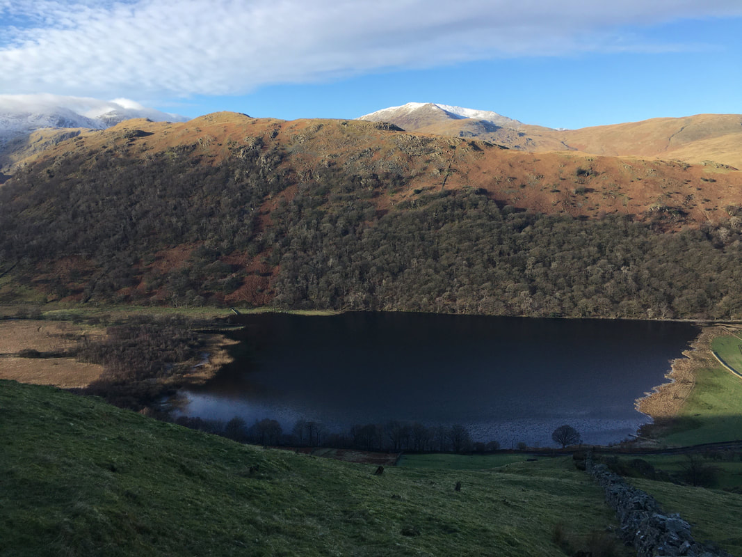
Brothers Water & Brock Crags with Hartsop Dodd to the right
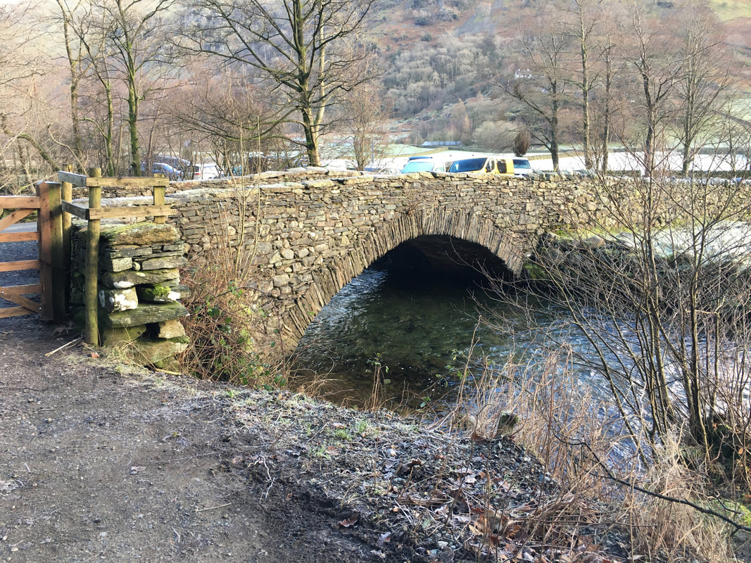
Cow Bridge. As stated above, the walk can also be started from here.
From Cow Bridge the route heads along the A592 for 150 yards then leaves the main road to head towards Hartsop
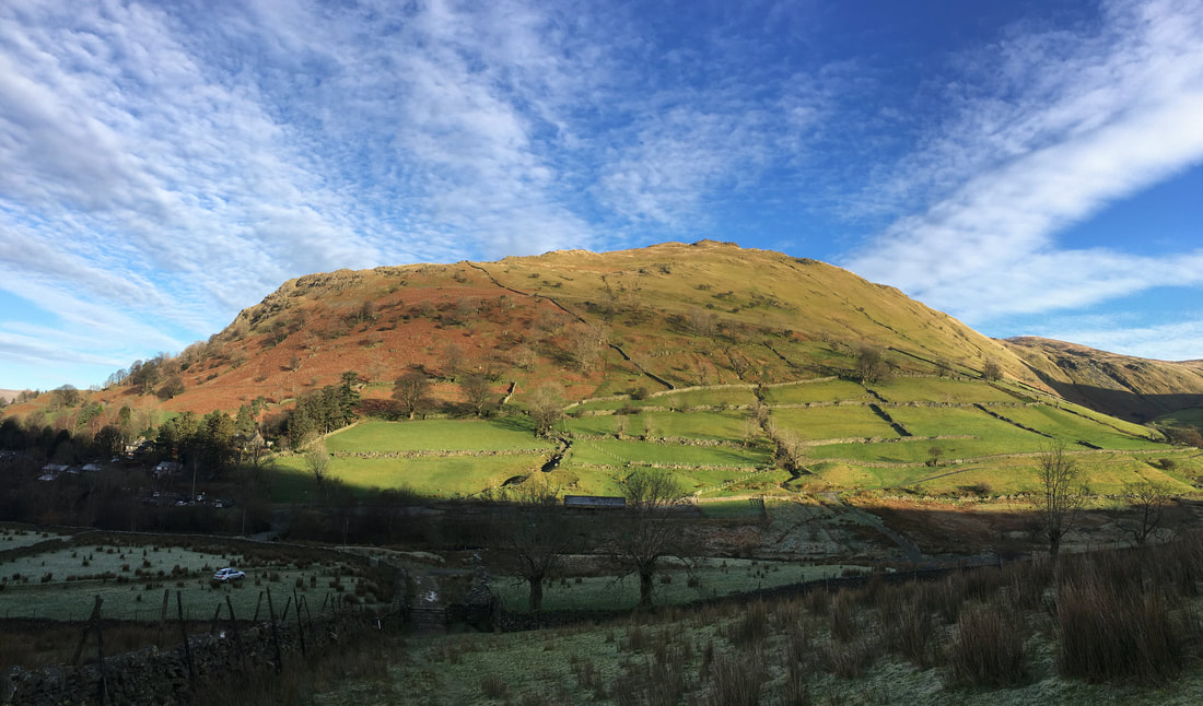
Short, sharp and to the point
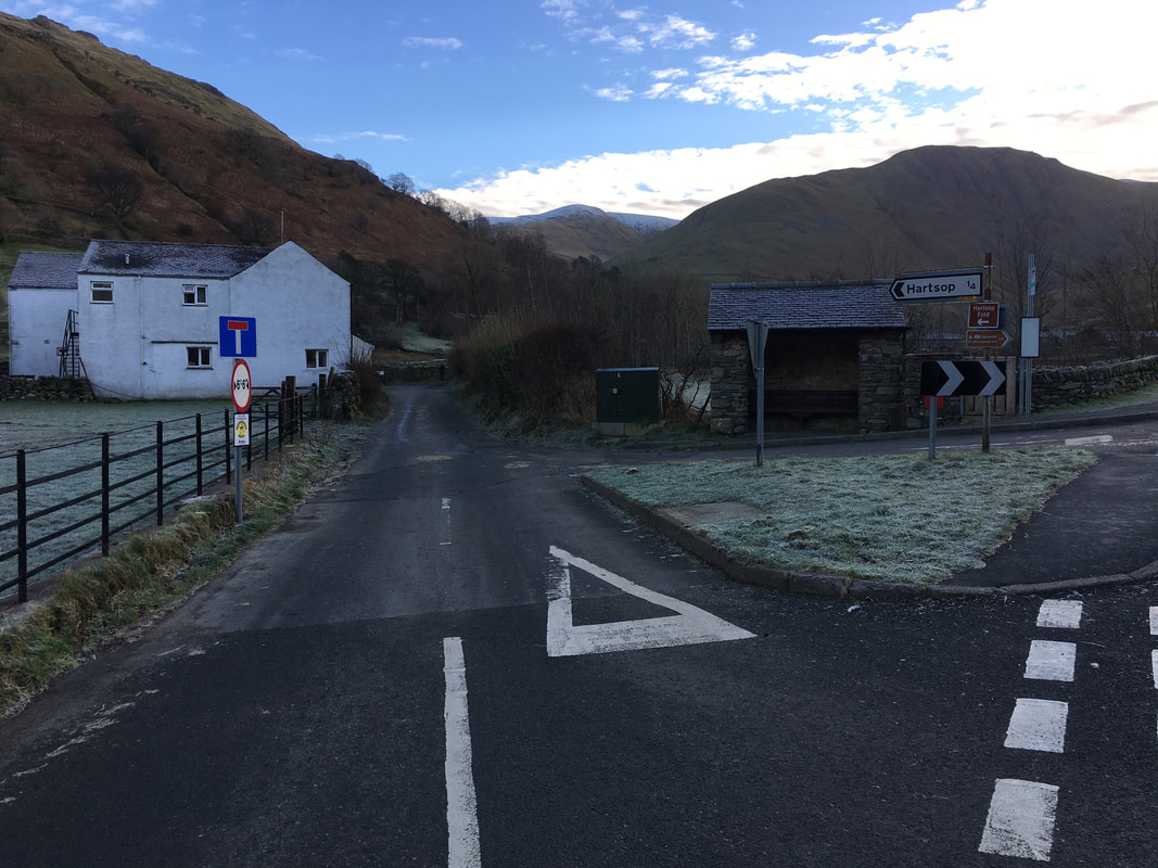
The Car Park at the eastern end of Hartsop village. As with Cow Bridge, the walk can also be started from here.
Gray Crag looms large across the valley with The Knott to the left
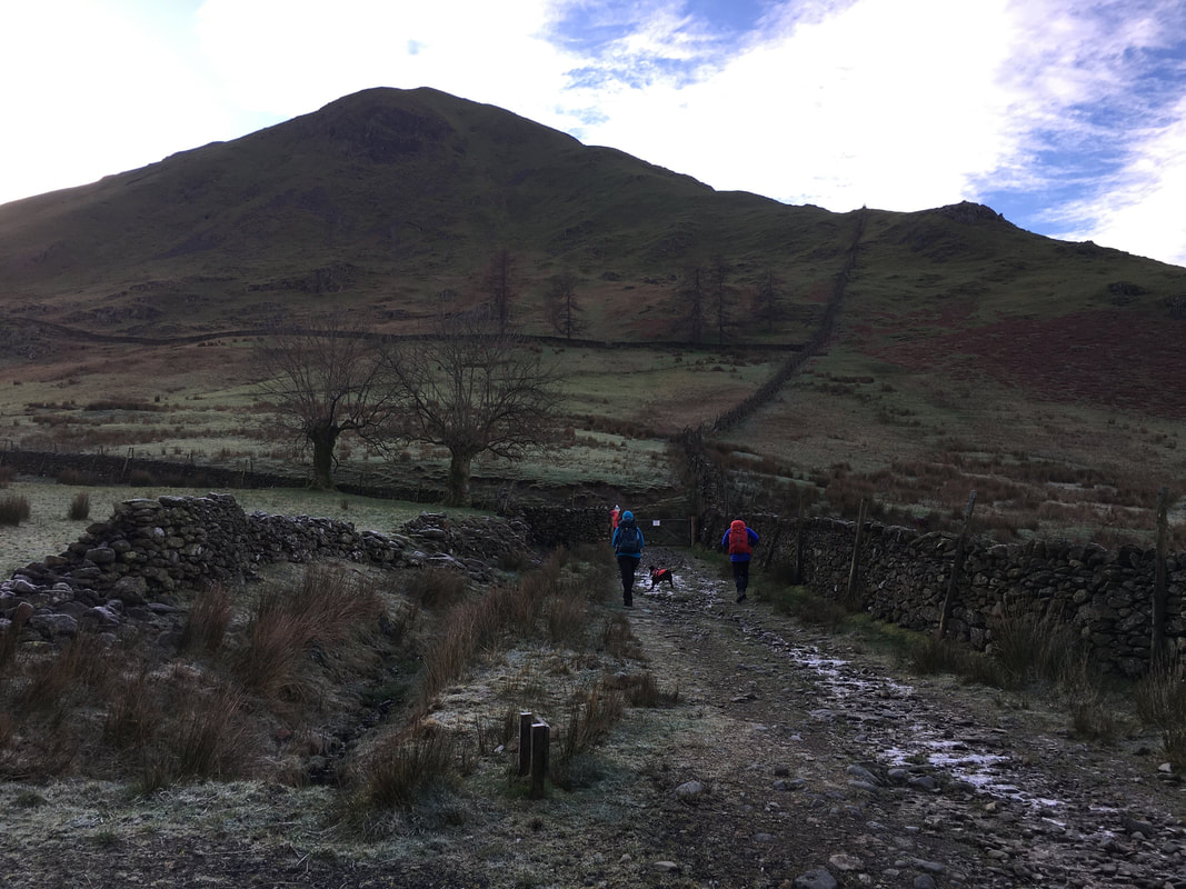
Once through the gate of the Car Park a sign points the way to the right. Hartsop Dodd is ahead and the route follows the wall up to the ridge line.
Brock Crags from the ascent of Hartsop Dodd
Looking back to Hartsop with Birks & Arnison Crag in the distance.
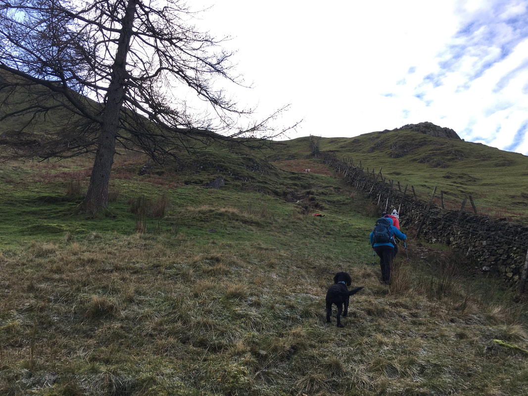
To reach the ridgeline is over steep ground - we just took our time.
Brothers Water & Hartsop above How
A little further up Ullswater & Place Fell come into view
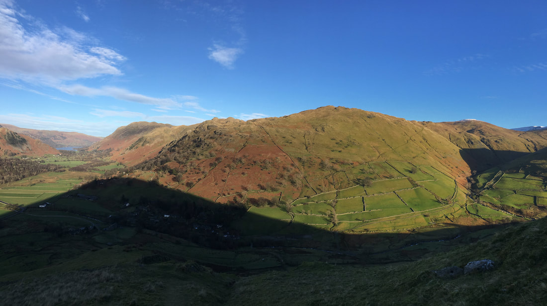
A panorama across Brothers Water with the Fairfield range to the left and St Sunday Crag centre
Where is this snow you promised me Dad? I can't see any as yet!
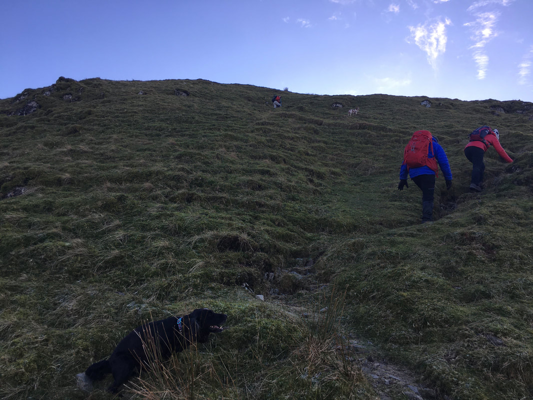
The steepness continues as we reach the ridgeline......................
.......but of course climbing brings the added bonus of superb views - just look at that.
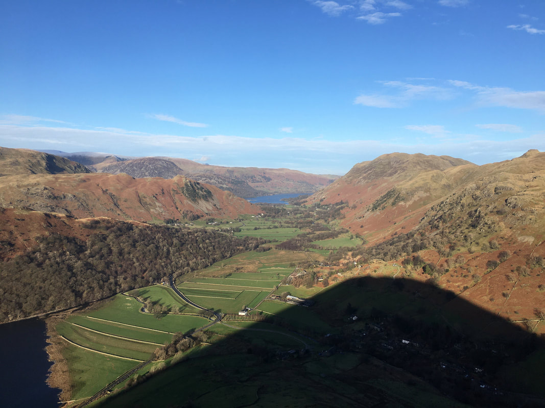
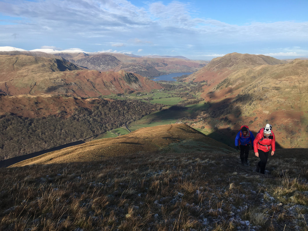
Hartsop Dodd's shadow dominates the view as we look down towards Ullswater
Hartsop above How, Gavel Pike, St Sunday Crag, the Helvellyn range, Birks & Arnison Crag across Brothers Water
Steepness over as the gradient eases as we near the top of Hartsop Dodd's north ridge. The view to the rear is Place Fell, Angletarn Pikes & Brock Crags.
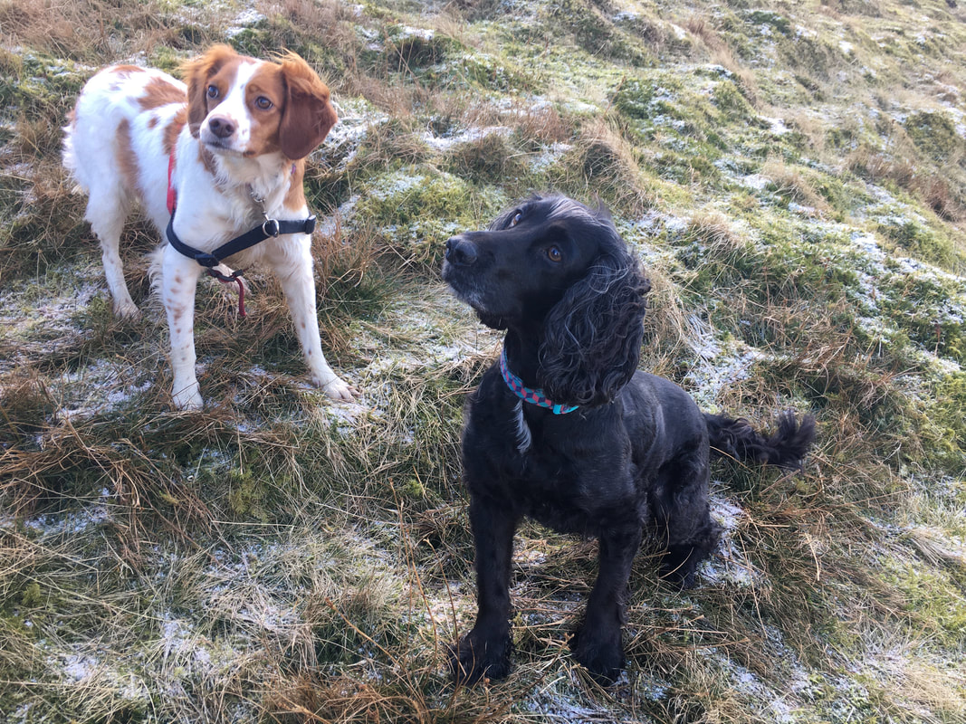
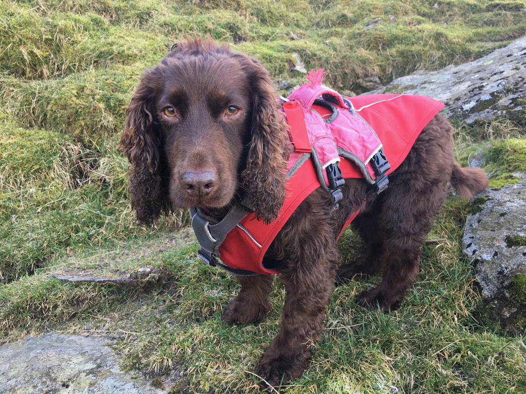
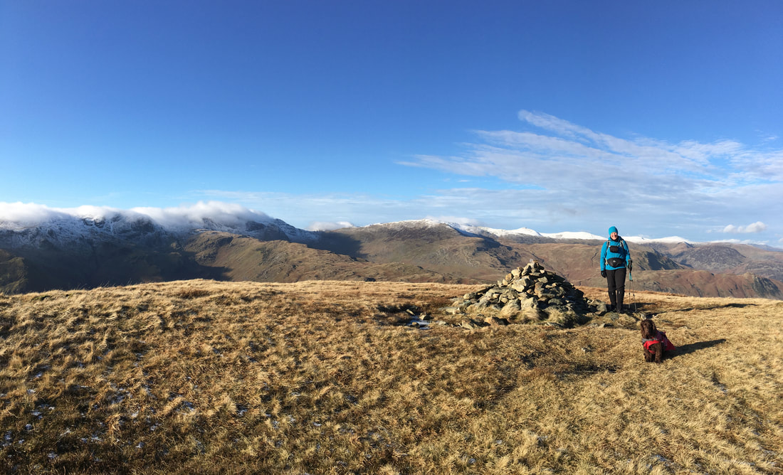
Ada & Roxy - two real cuties who, like Fudge had a lot of fun today
Looking back down Hartsop Dodd's north ridge to Ullswater
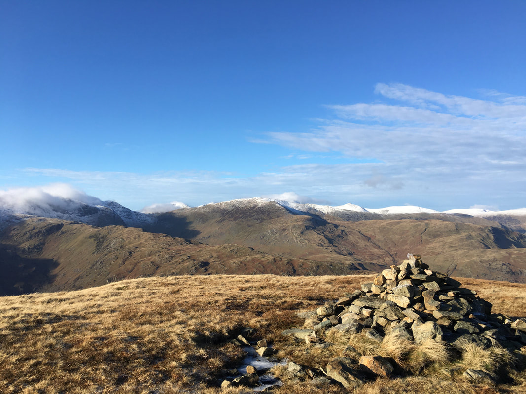
The cairn on the summit of Hartsop Dodd
The superb view from the summit of Hartsop Dodd
Gray Crag & the High Street ridge from the summit of Hartsop Dodd
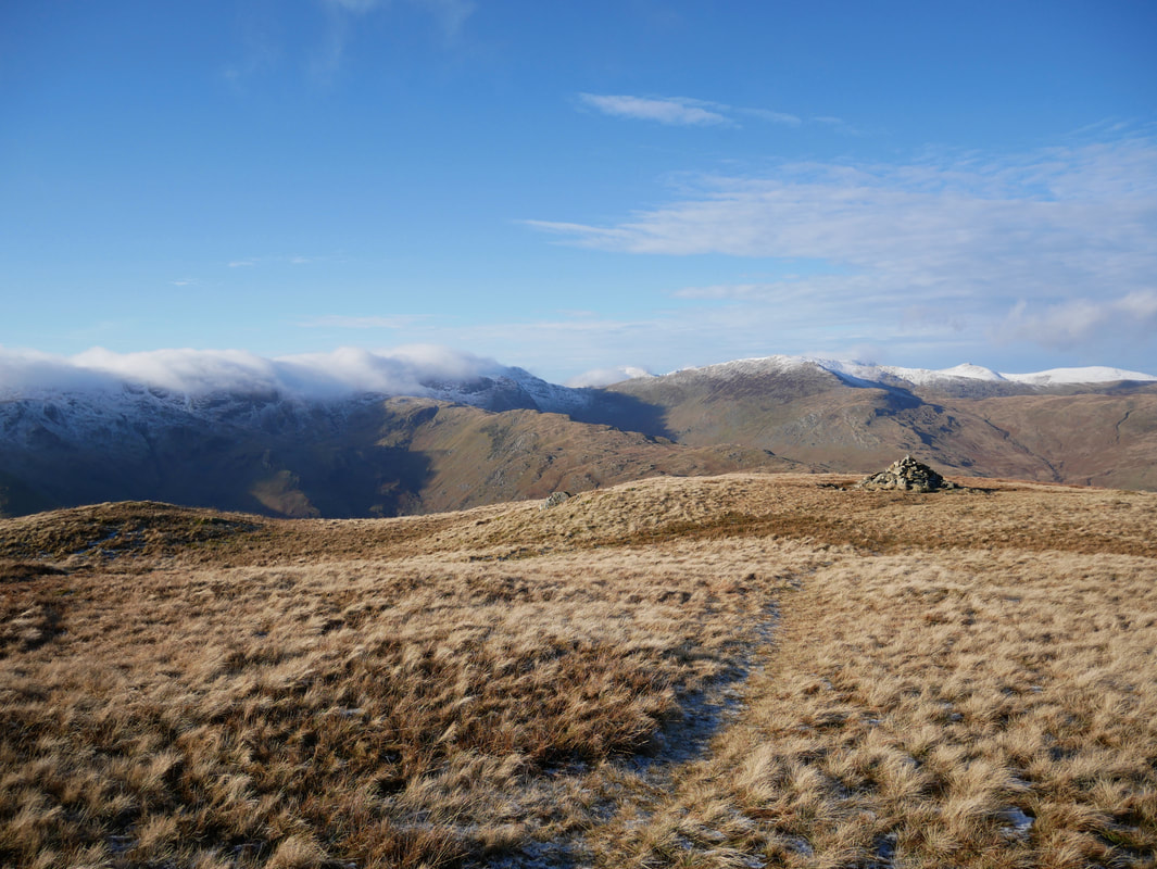
The summit of Hartsop Dodd looking to the eastern Fells
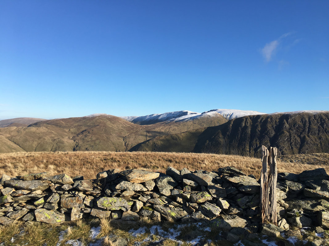
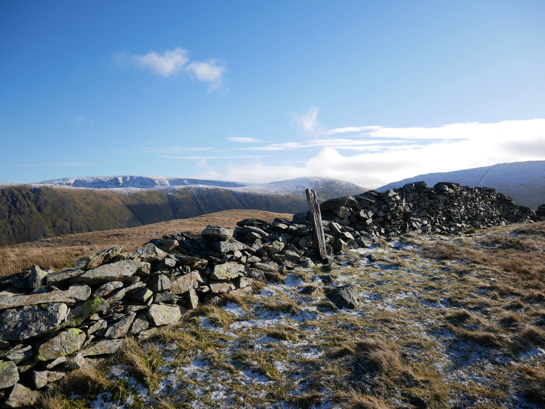
Wainwright made reference to this fence post as being the summit of Hartsop Dodd although he also states that there is higher ground nearby to the north. It is amazing that the post is still there 64 years after he originally drew it (Hartsop Dodd 3). In the distance are Rest Dodd, High Raise, The Knott & Rampsgill Head.
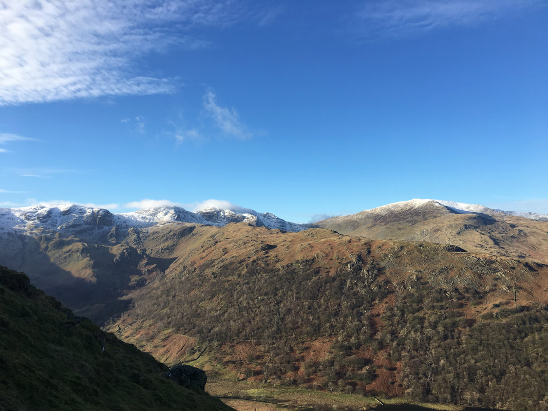
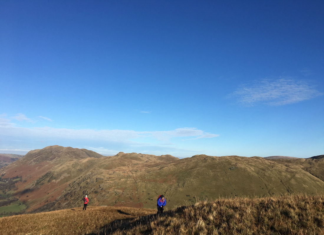
Looking back to Hartsop Dodd from our route to Caudale Moor
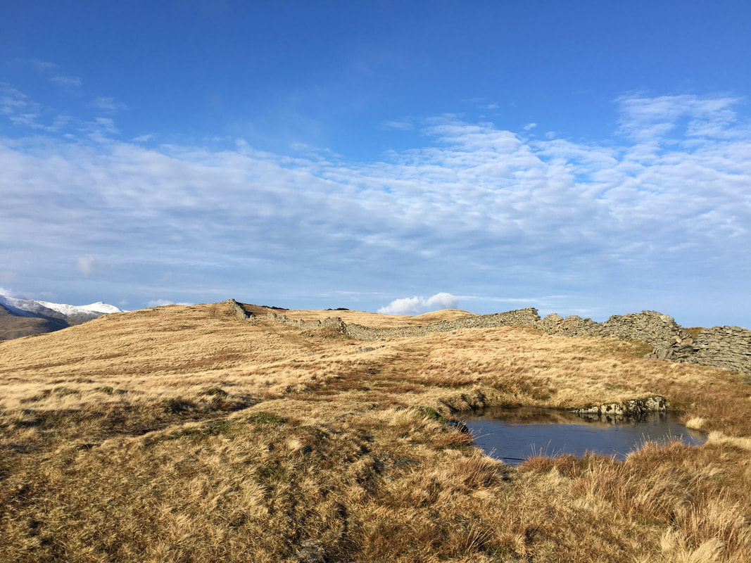
Heading for Caudale Moor from Hartsop Dodd - a simple case of following the wall nearly all the way to the summit
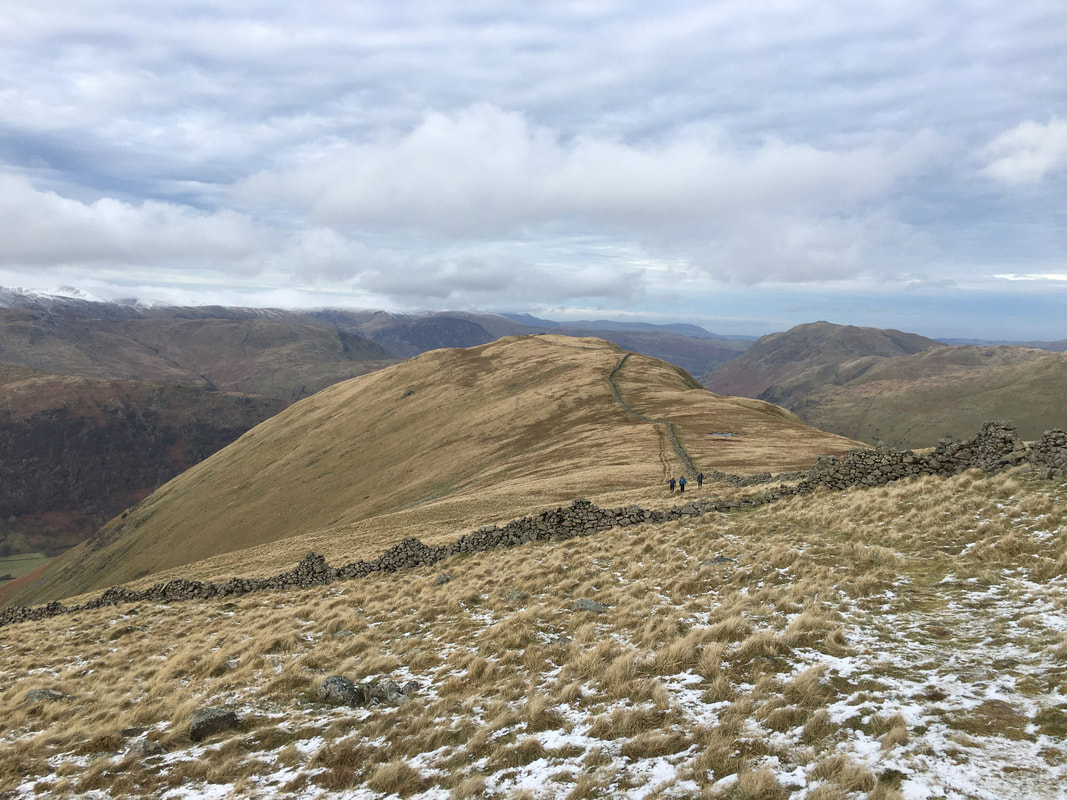
Looking back to Hartsop Dodd from the approach to Caudale Moor - the route crosses a broken wall to continue upwards
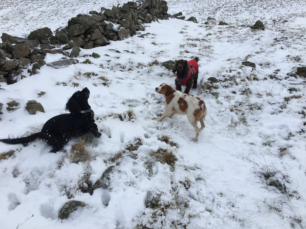
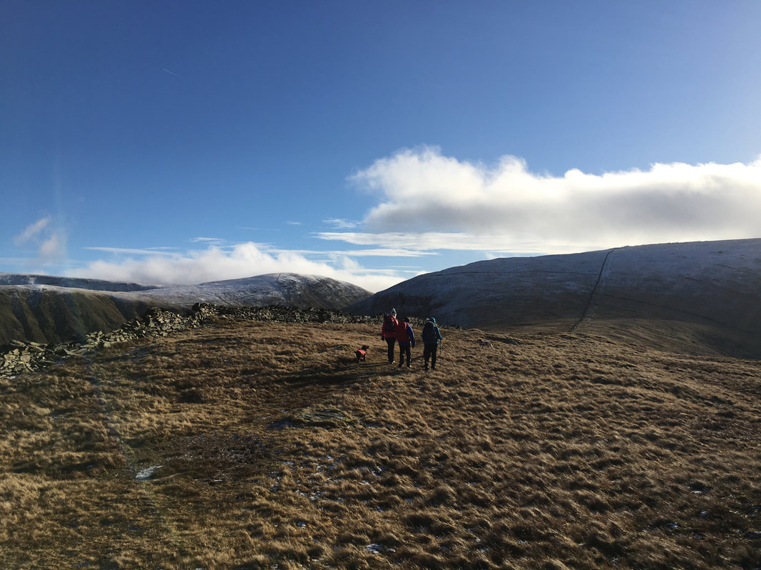
All of a sudden we reached the snowline much to the joy of the four legged members of our group
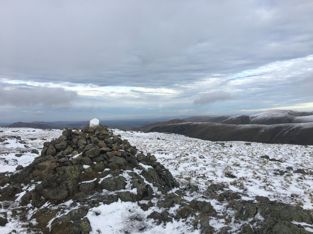
Stony Cove Pike, the summit of Caudale Moor - the highest point is a few yards east of this cairn. There is considerable variation over use of the alternative names for the fell. The Ordnance Survey name the main summit as 'Stony Cove Pike', the second top to the west as Caudale Moor and John Bell's Banner is reserved for the south west ridge descending to St Raven's Edge. Wainwright described the summit as "a dreary plateau of considerable extent" (Caudale Moor 8) - I think he may have been a tad harsh.
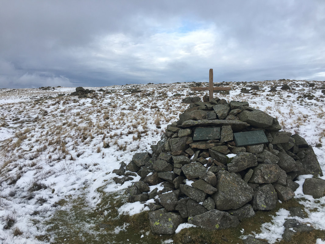
A few hundred yards to the west of the summit is the Atkinson Memorial marked as a "Monument" on the OS Map. There are two small stone plaques and a cross set into the cairn in memory of Mark Atkinson and his son William who died in 1930 and 1987 respectively. The family ran the Kirkstone Pass Inn for many years having purchased it in 1914 and on a good day (not today unfortunately) the Inn can be seen from the monument.
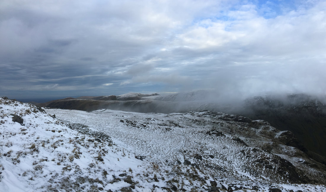
Mist descends as we make our way down off Caudale Moor to Threshthwaite Mouth
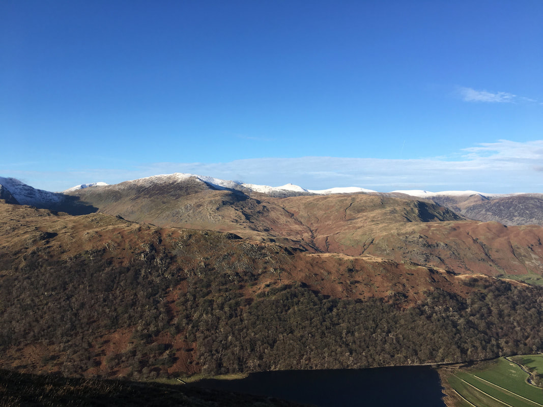
Thornthwaite Crag from Caudale Moor
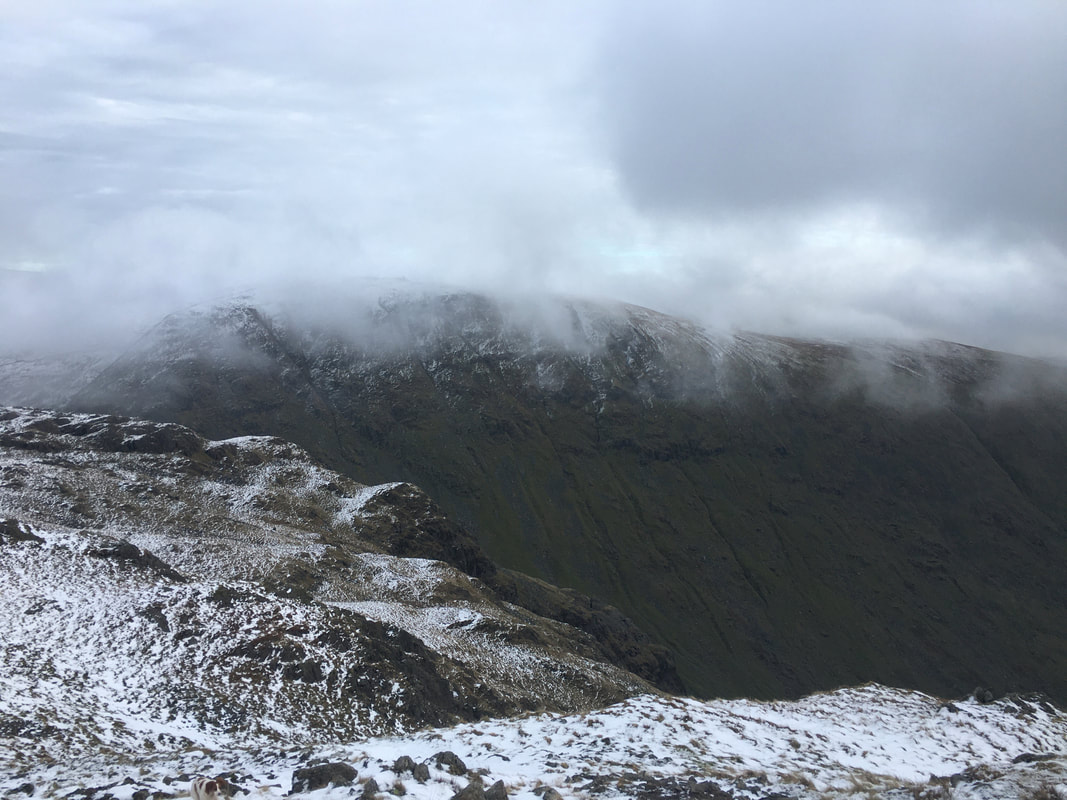
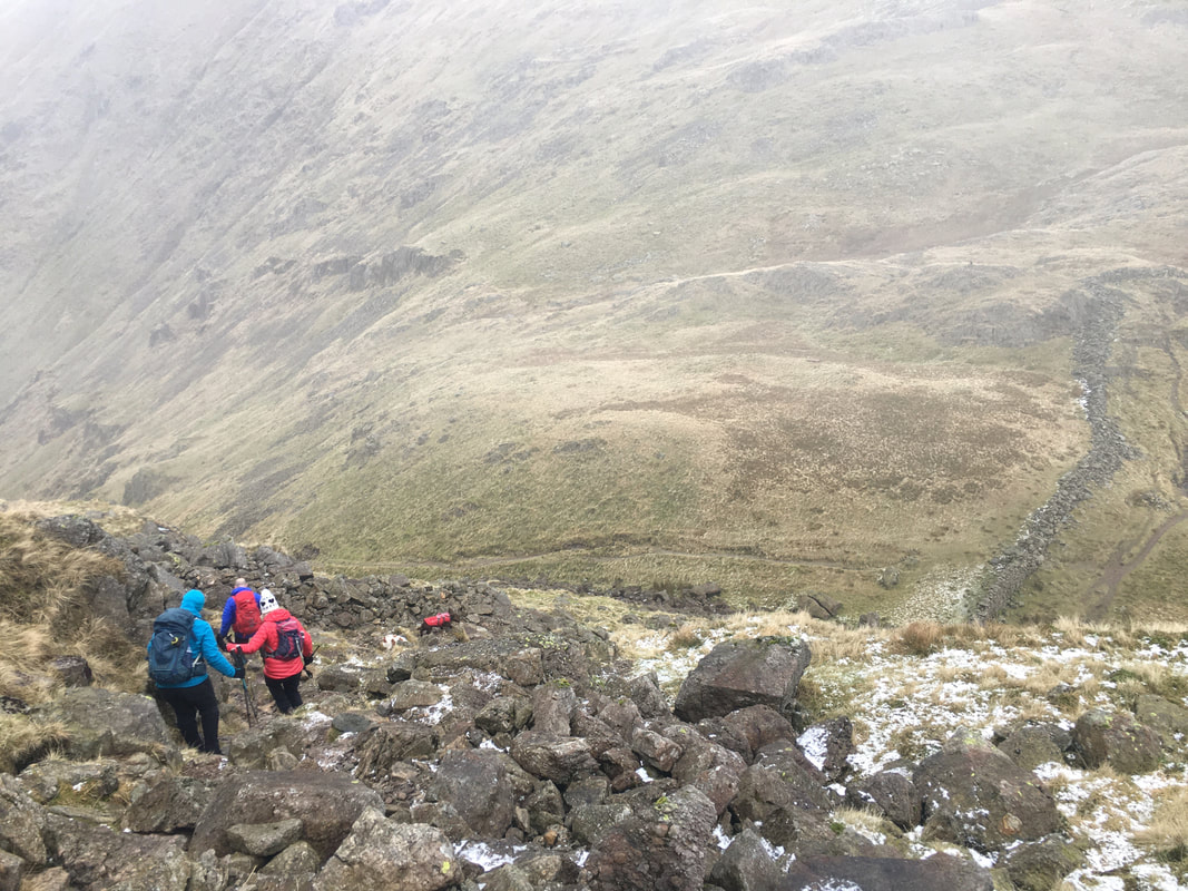
The steep descent from Caudale Moor to Threshthwaite Mouth with the beacon on Thornthwaite Crag clearly visible. It is a simple case of following the wall down taking care over the sometimes rough terrain. Don't be put off by the steepness - as long as you take your time the descent is superb. Threshthwaite is pronounced locally as "Threshet".
Continuing the descent to Threshthwaite Mouth - the path heading up the opposite fell side leads to Thornthwaite Crag
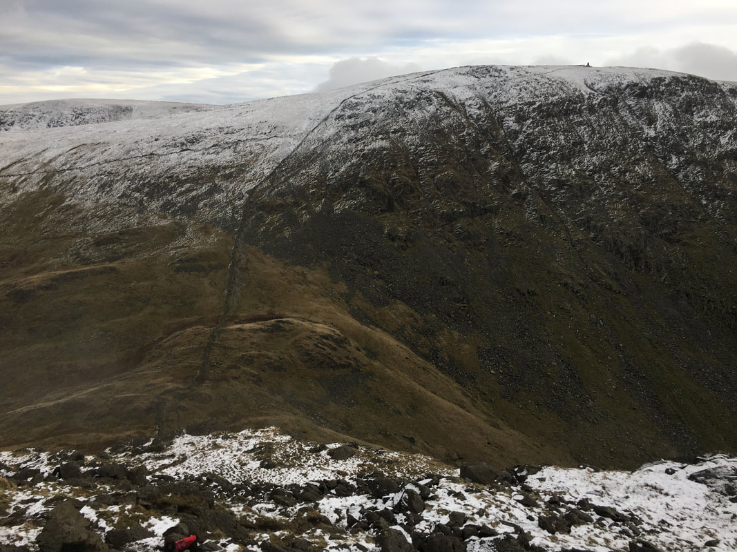
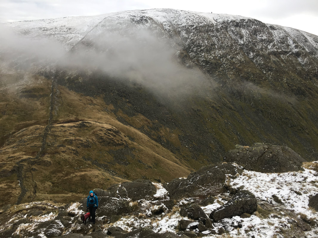
Almost down at Threshthwaite Mouth. Once the col is reached there are a crossroads of paths - straight on to Thornthwaite Crag & High Street, to the right heads to Troutbeck and our route to the left which leads to Hartsop via Threshthwaite Cove & Pasture Bottom.
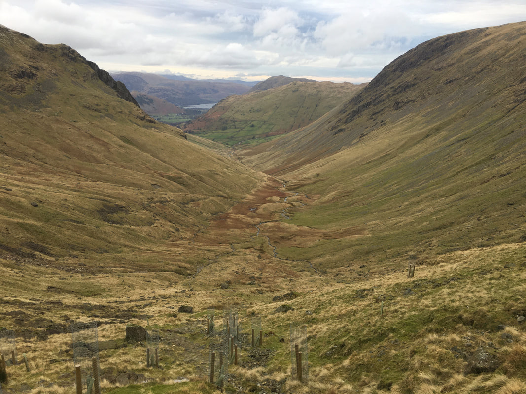
Threshthwaite Cove and the delightful walk down to Pasture Bottom and back to Hartsop. From the village we retraced our steps back to Sykeside for a debrief beer followed by a superb meal in the Brotherswater Inn.