Bakestall, Skiddaw & Skiddaw Little Man - Wednesday 22 December 2021
Route
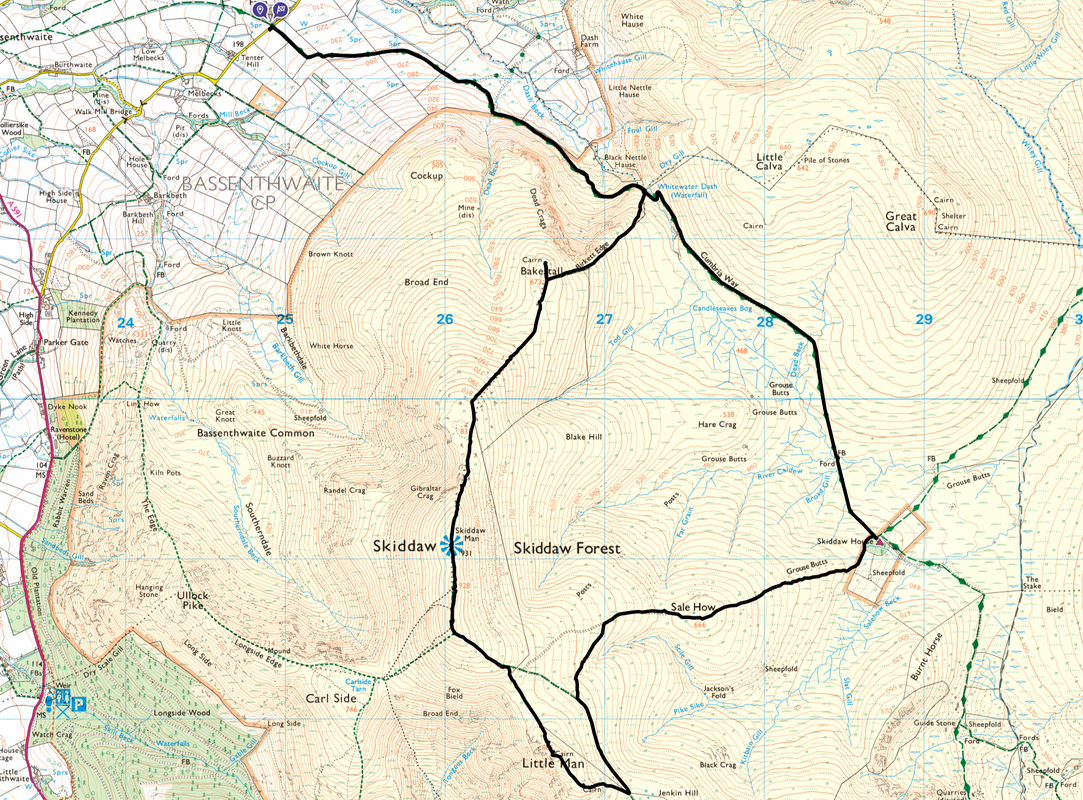
Peter House Farm - Cumbria Way - Whitewater Dash - Birkett Edge - Bakestall - Skiddaw North Top - Skiddaw - Skiddaw Middle Top - Skiddaw South Top - Skiddaw Little Man - Skiddaw Lesser Man - Sale How - Skiddaw House - Cumbria Way - Whitewater Dash - Peter House Farm
Parking
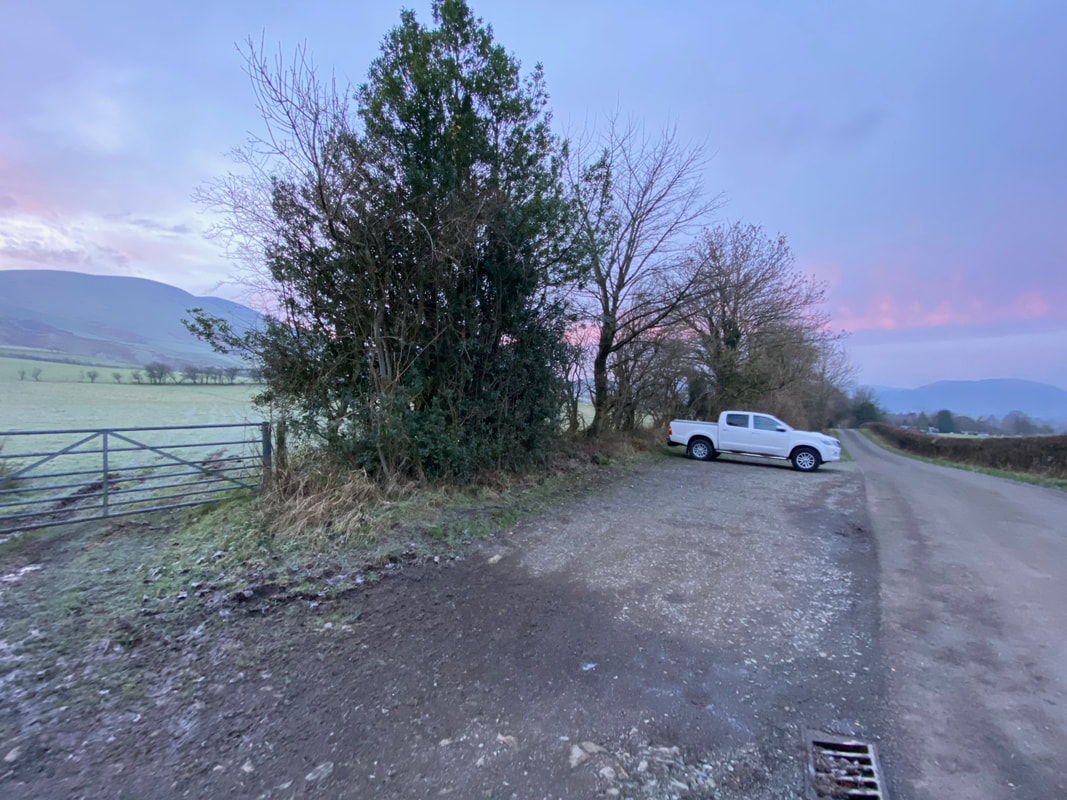
Peter House Farm (Donation) - Grid Ref NY249323. Nearest Postcode is CA12 4QY. There are two verge parking areas 100 yards apart with room for a total of approximately 14 cars.
Mileage
10.7 miles
Terrain
Good mountain paths and tracks throughout.
Weather
Overcast with good visibility. My transit along Skiddaw's summit ridge was carried out in very strong winds - as is usual for Skiddaw in the winter!
Time Taken
5hrs 10mins
Total Ascent
2867ft (874m)
Wainwrights
3
Map
OL4 - The English Lakes (North Western Area)
Walkers
Dave & Fudge
|
GPX File
|
| ||
If the above GPX file fails to download or presents itself as an XML file once downloaded then please feel free to contact me and I will send you the GPX file via e-mail.
Route Map
One of the two parking areas at Peter House Farm. I was here nice and early today therefore had plenty of room - just Fudge & I out on this occasion as Angie was away on the South Coast visiting her Mum. By the look of the weather forecast I was in for an overcast day therefore the light would not be that good for photography - still, it was nice to be out.
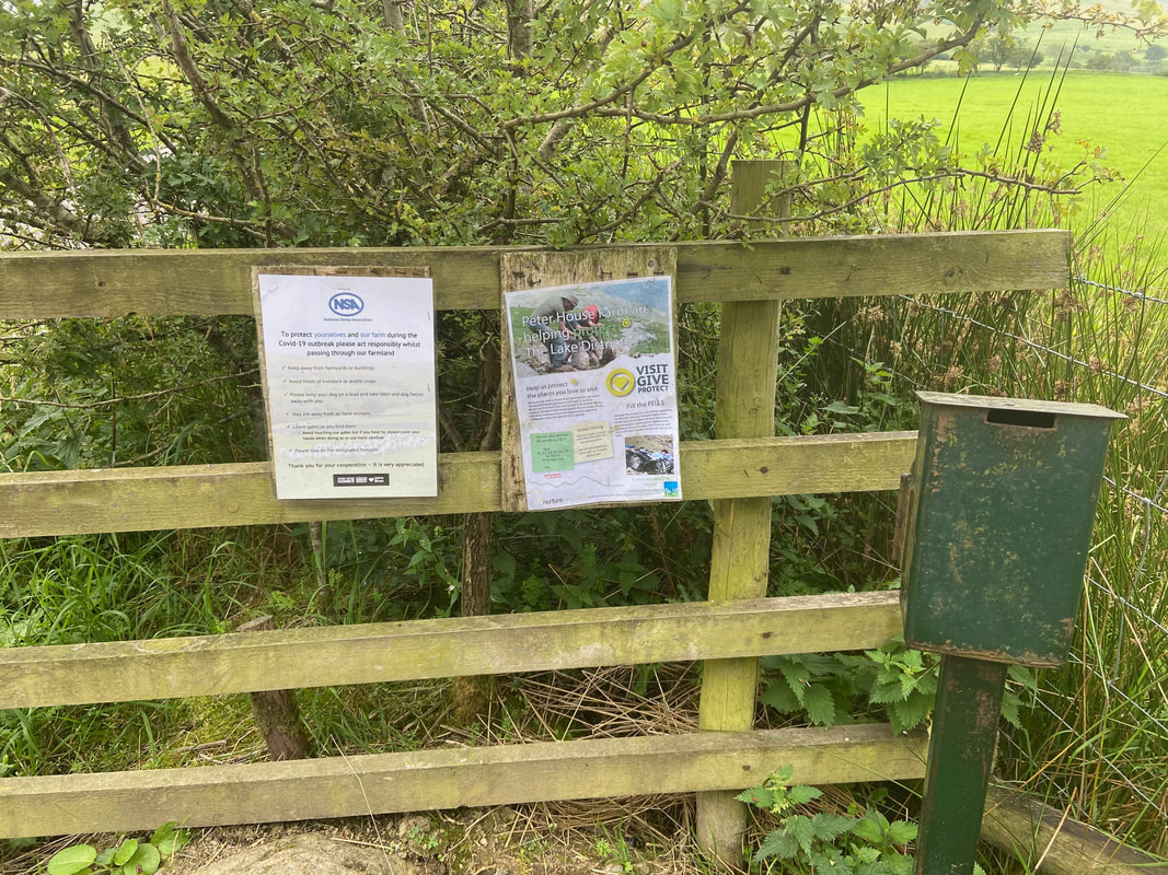
The parking honesty box at Peter House Farm - just pop a few quid in as you pass through the gate.
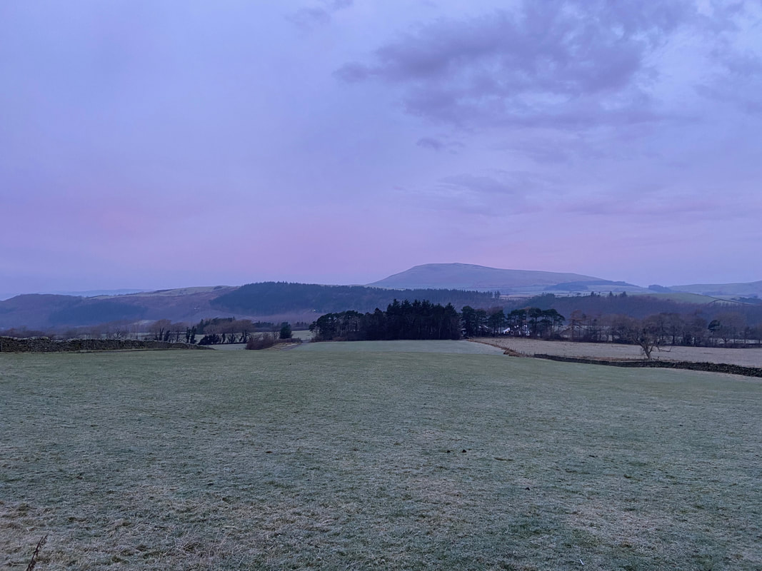
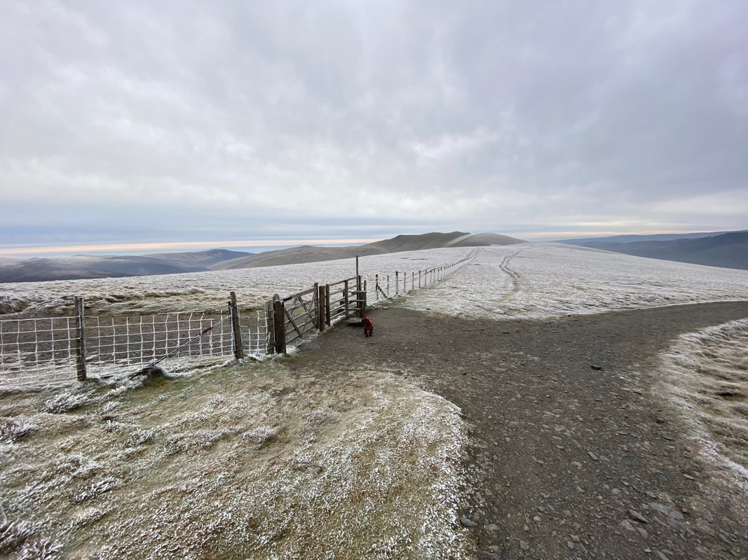
It was a cold & frosty start to the day as I look over to Binsey
|
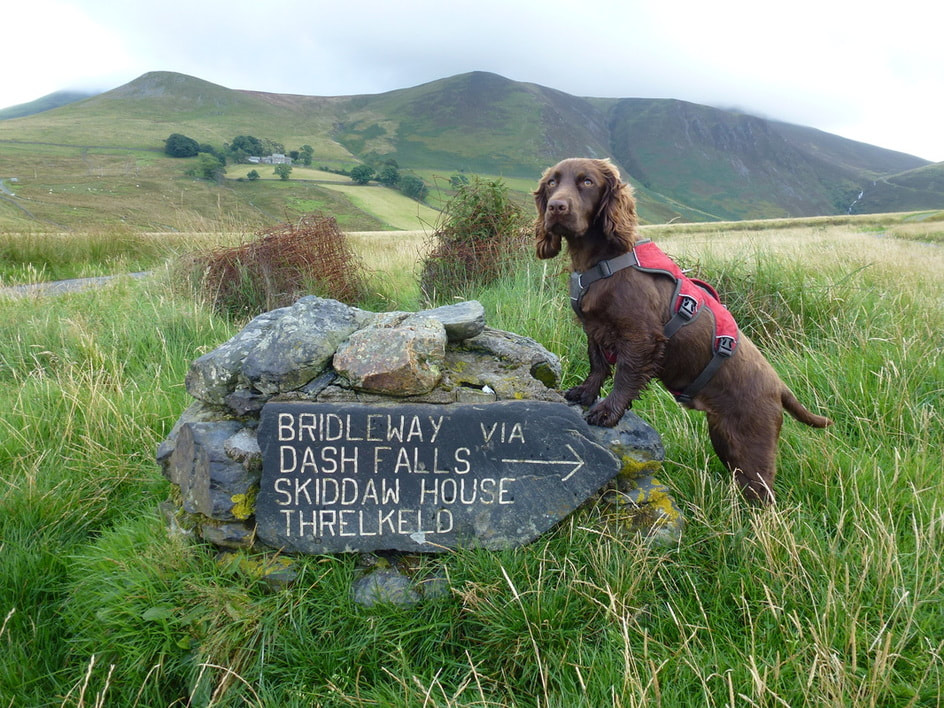
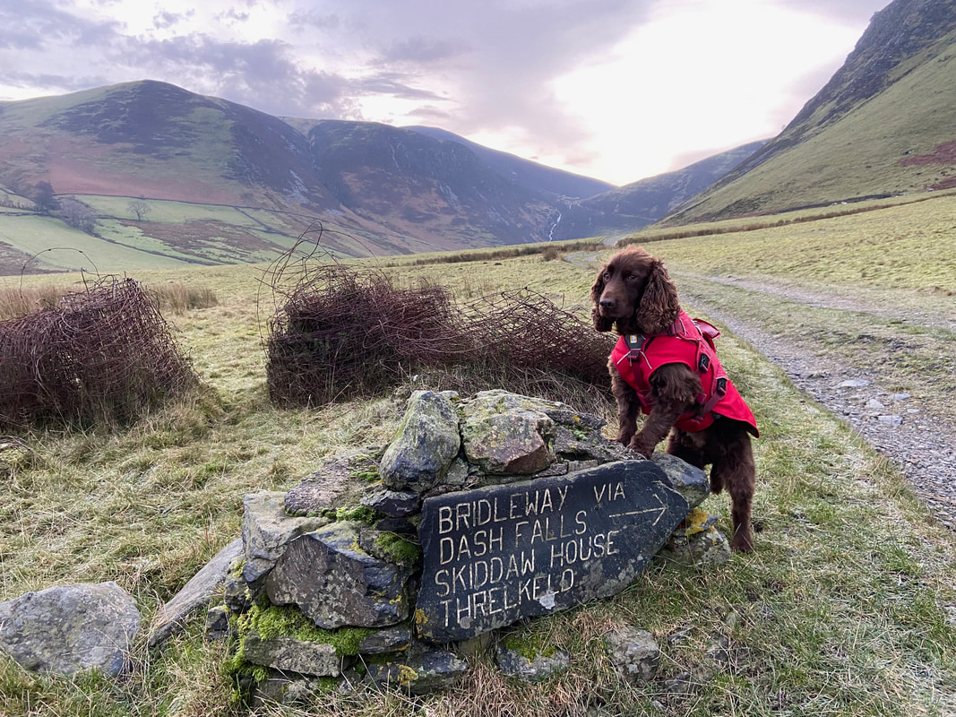
2013
|
2021
|
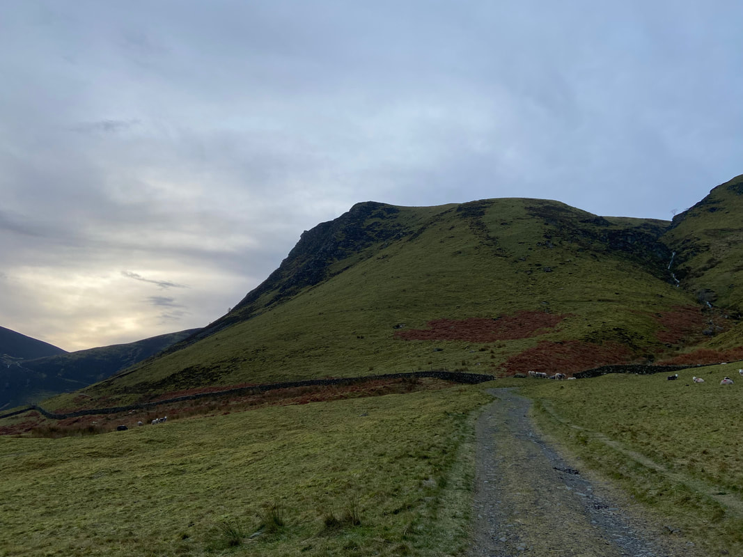
From the start at Peter House Farm the route heads down a metalled access road that serves Dash Farm & Skiddaw House.
We don't think Fudge has changed that much in the intervening years
We don't think Fudge has changed that much in the intervening years
Dead Crags on the northern flank of Bakestall. The gill on the right is one of two Dead Beck's within a few miles of each other. I would pass by the other Dead Beck on my return route.
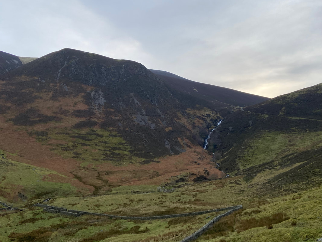
Black Nettle Hause with Dash Falls (aka Whitewater Dash) now visible. Birkett Edge, my route of ascent to Bakestall is to the right.
Looking back to Dead Crags down the Dash Valley and my outward route
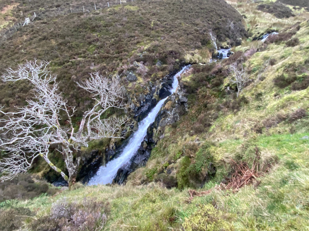
The upper fall of Dash Falls. Wainwright said of Dash Falls "there are many finer individual waterfalls in Lakeland but for a grand succession of falls the first place must undoubtedly be given to Dash Falls" (Bakestall 10).
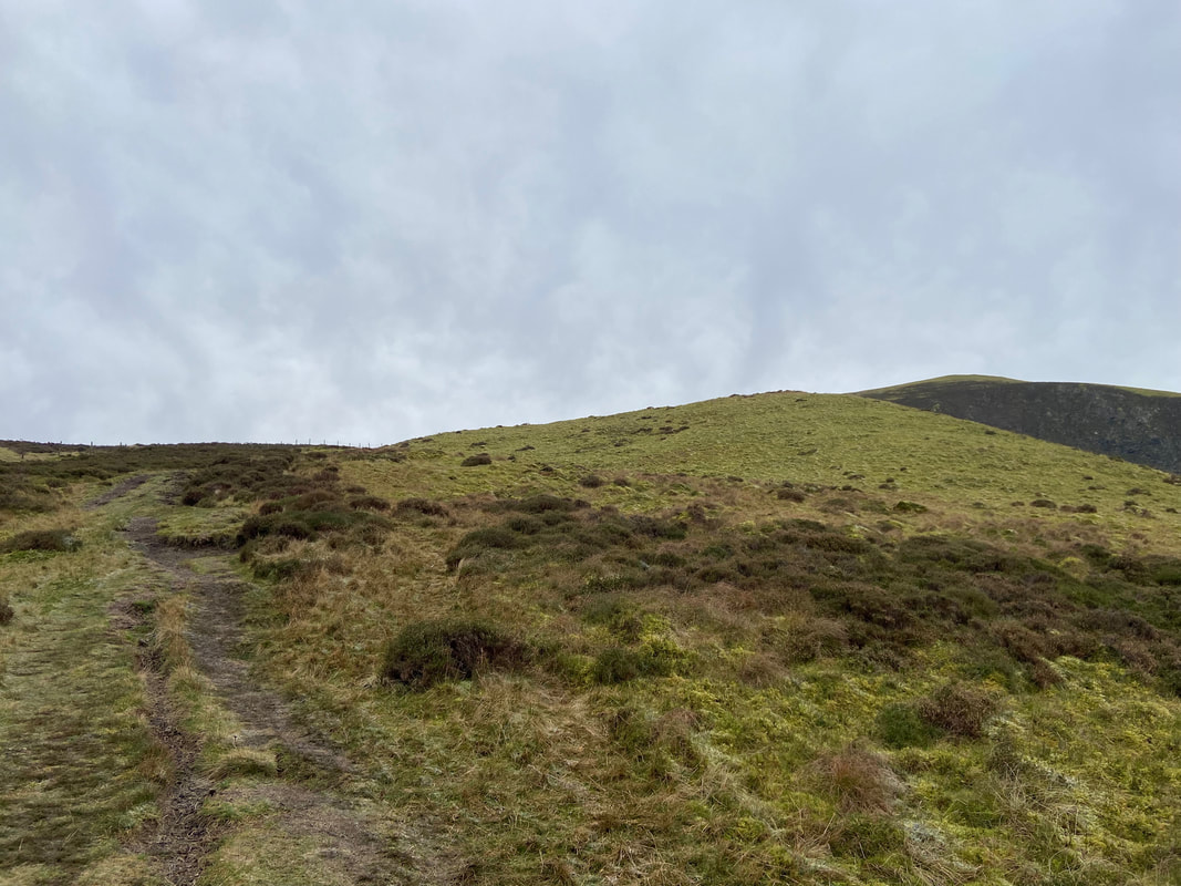
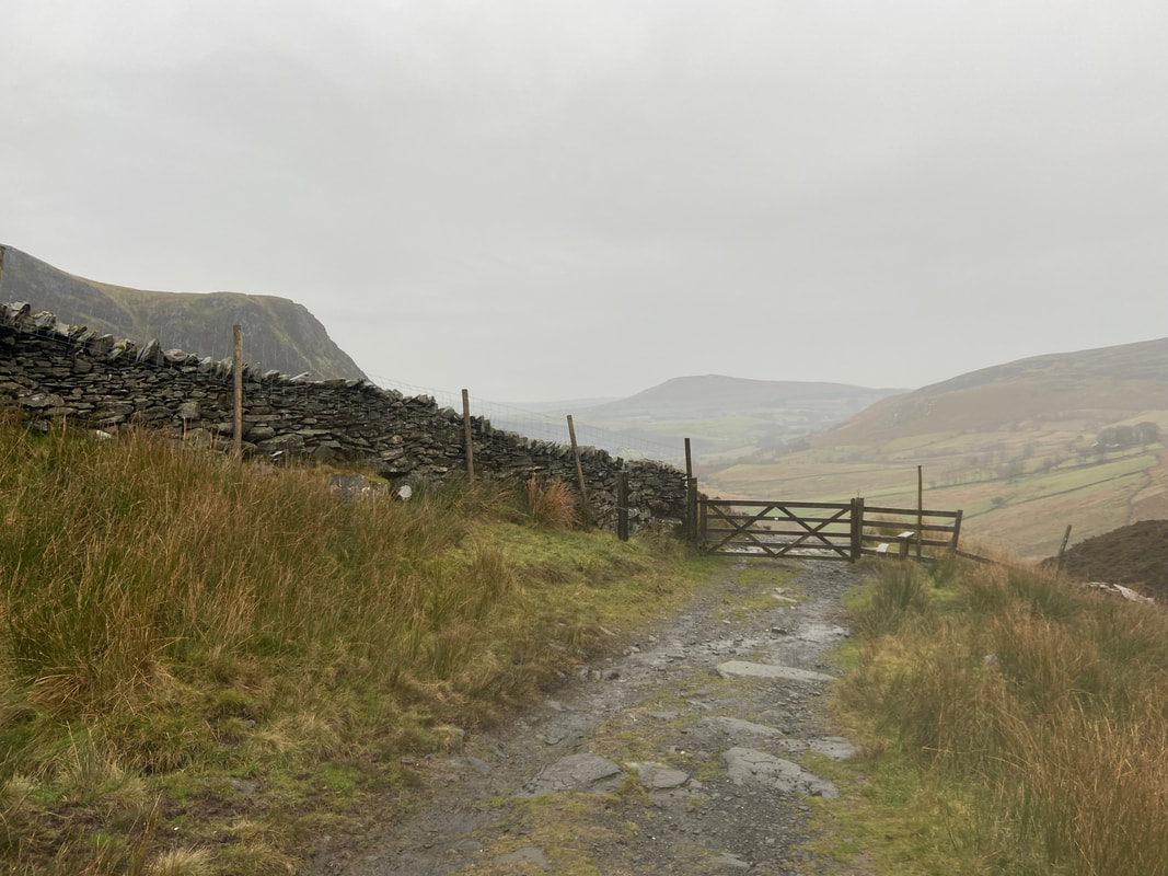
At the top of Dash Falls the route reaches a gate where I turned right up Birkett Edge to roughly follow a fence line. After rain the lower part of this path can get very wet, muddy & in places quite boggy.
As I gain height climbing Birkett Edge, Blencathra comes into view with Lonscale Fell to the extreme right
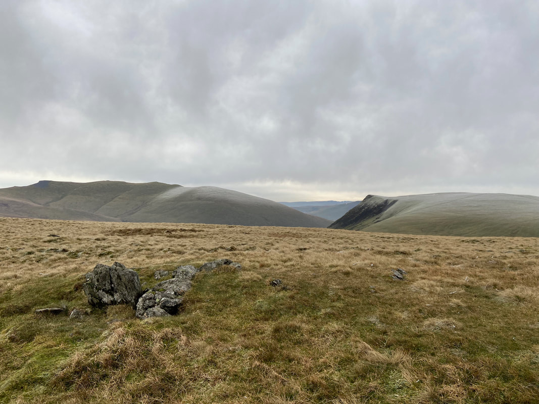
Little Calva from Birkett Edge
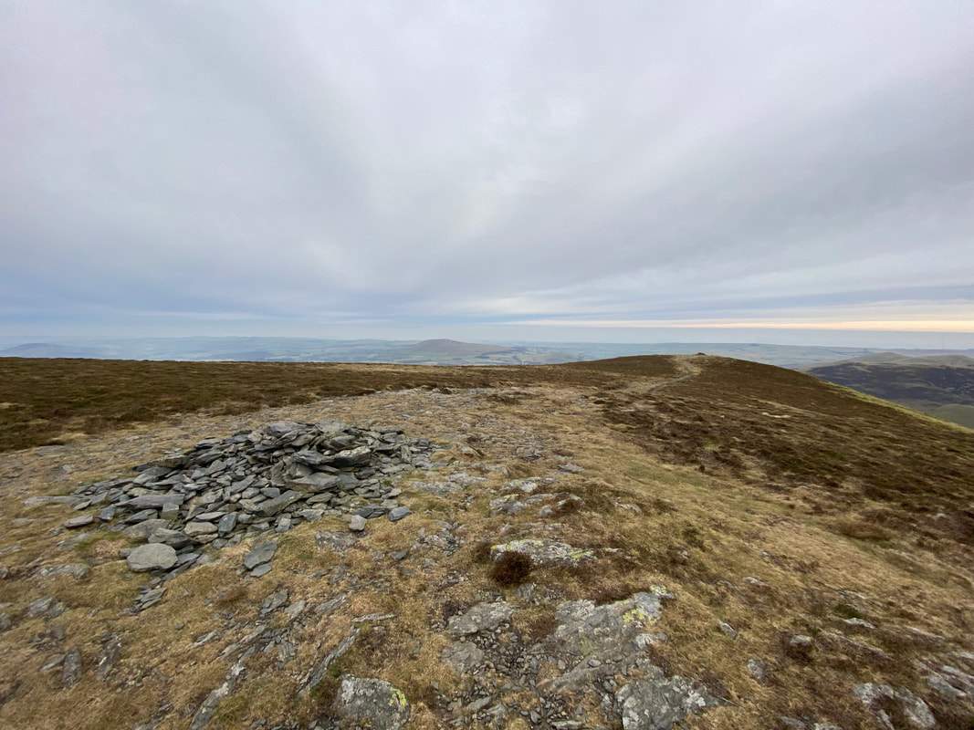
As the fence turns to the south east, a cairn marks the highest point of Bakestall. The traditional summit is a hundred yards to the north.
The traditional summit of Bakestall - this cairn lies a hundred yards or so north from the highest point near the fence corner
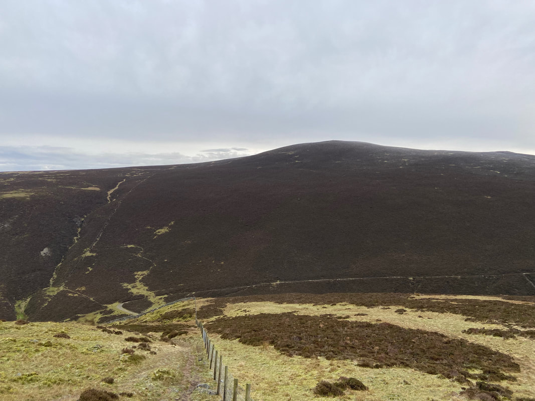
From Bakestall's highest point I continued to follow the fence line to the south west on a good path. Skiddaw's summit ridge can be seen over the top of Broad End.
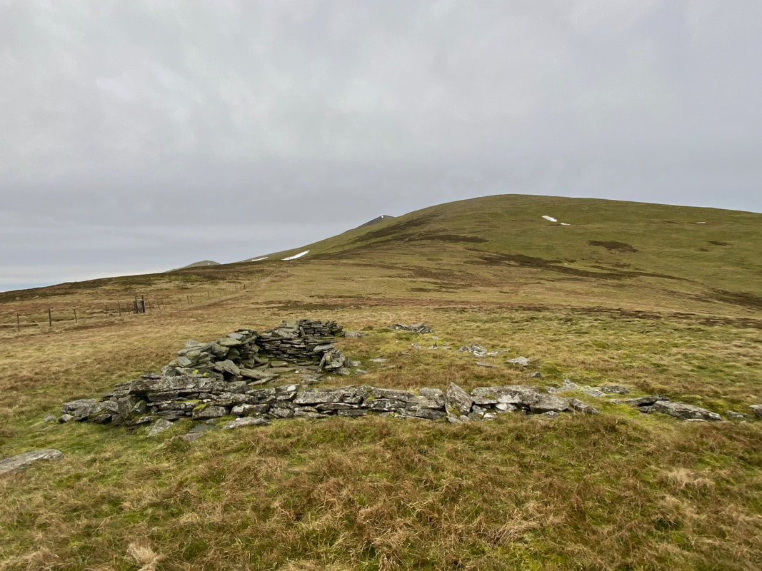
The path passes to the left of a ruined sheepfold as it continues up Broad End
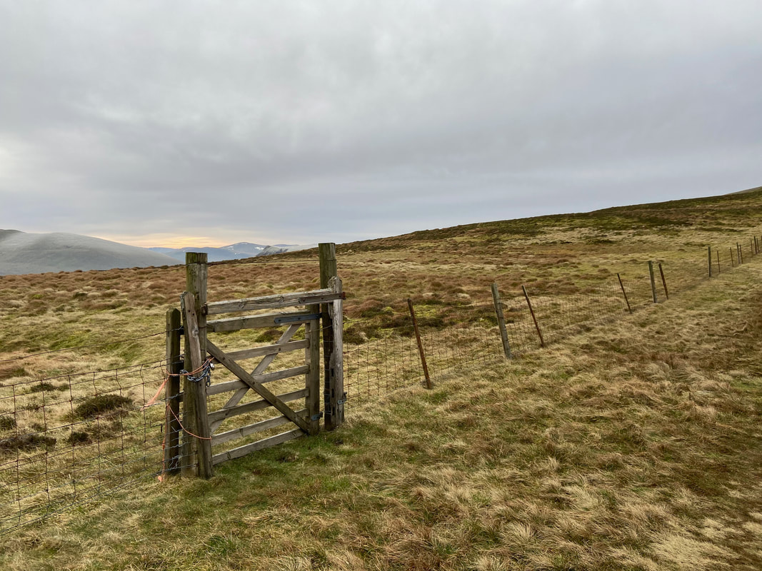
Continuing along the fence line I passed a locked hand gate
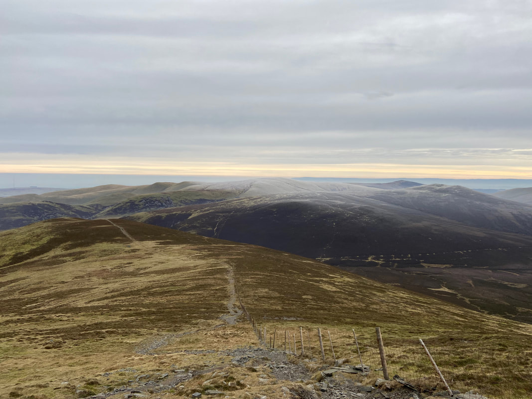
Looking back down my route of ascent along the fence line to the Back O'Skidda fells
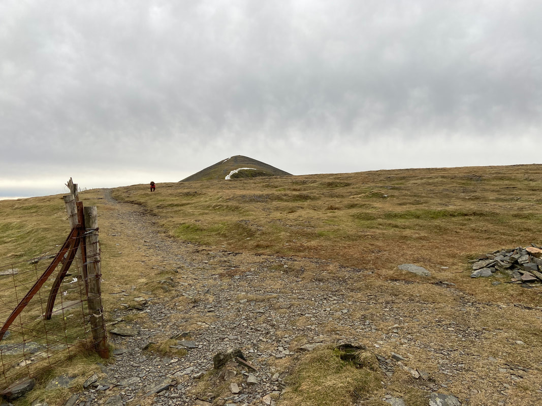
Not that way Fudge! It was now time to turn to the south away from the fence line which would continue south west beneath Skiddaw's eastern flank. A small cairn at Grid Reference NY 26183 29868 marks the point at which to leave the fence line.
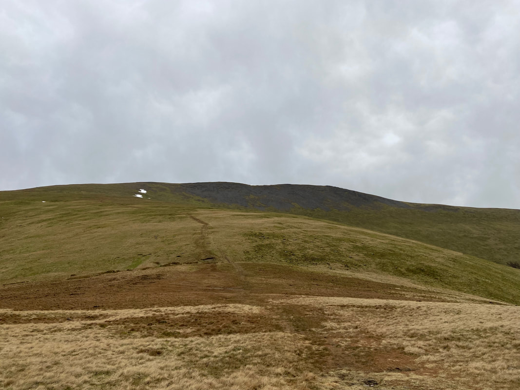
The path was quite steep now as I look back to Broad End from just below the summit of Skiddaw North Top
The valley of Southerndale with the long northern ridge of The Edge that leads to Ullock Pike
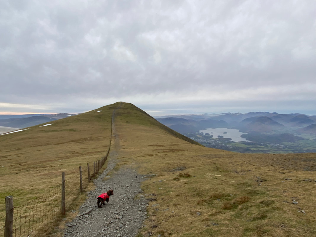
The summit of Skiddaw North Top with Skiddaw's summit further along the ridge
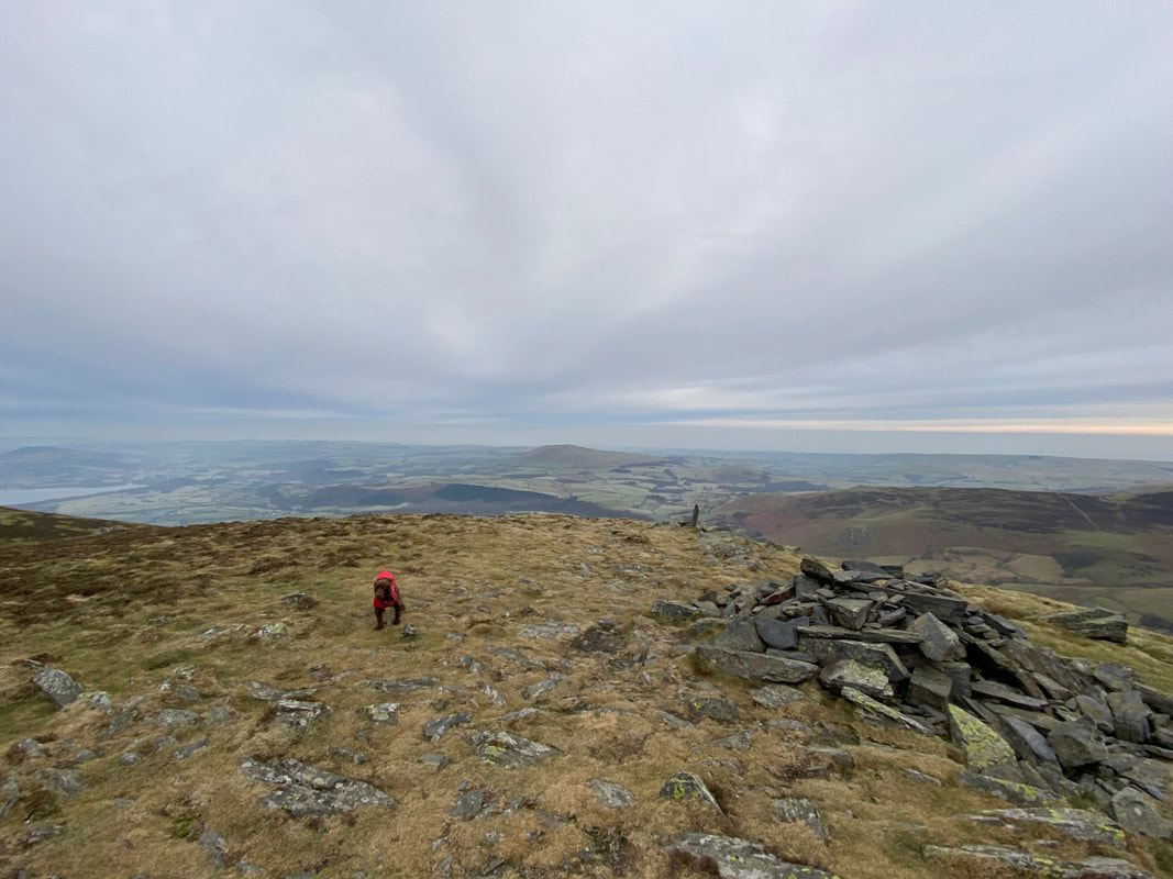
As is tradition - Fudge on the summit of Skiddaw and also pointing the way onwards
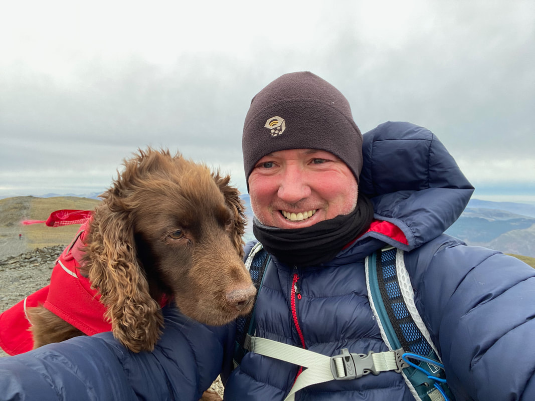
A summit selfie on a very windy Skiddaw
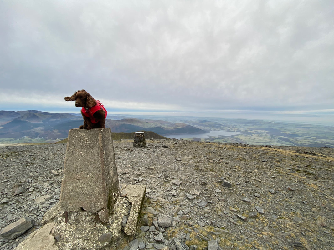
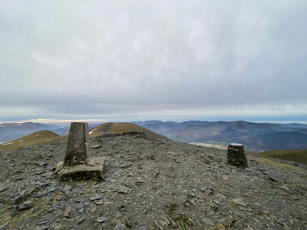
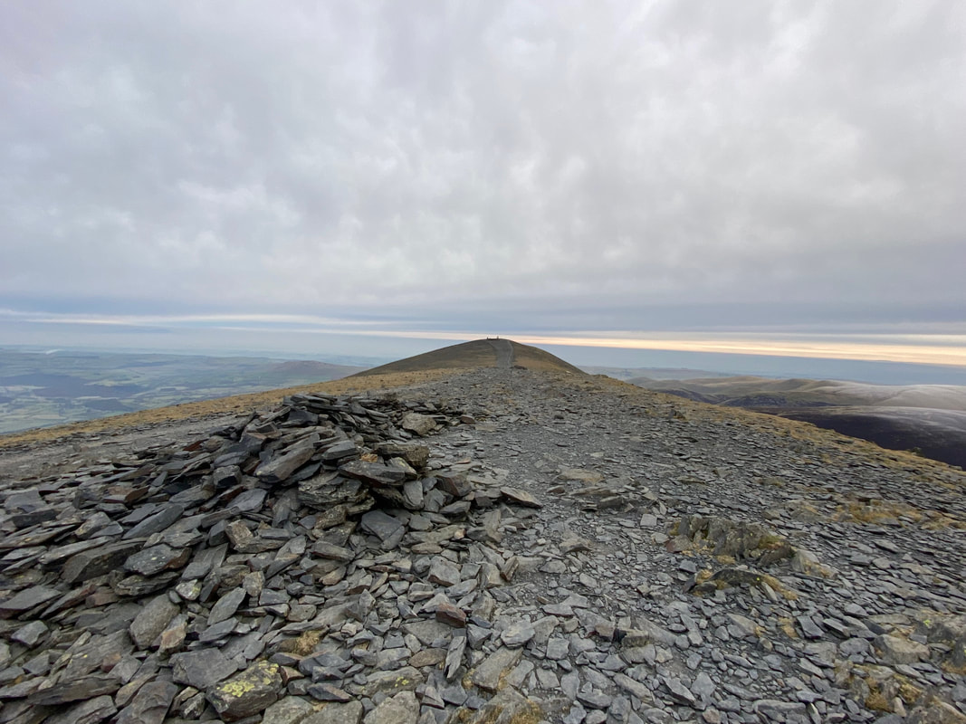
The Trig Point & Toposcope on the summit of Skiddaw with the Middle Top ahead and Skiddaw Little Man to the left
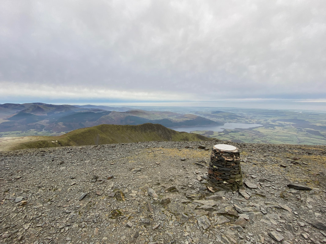
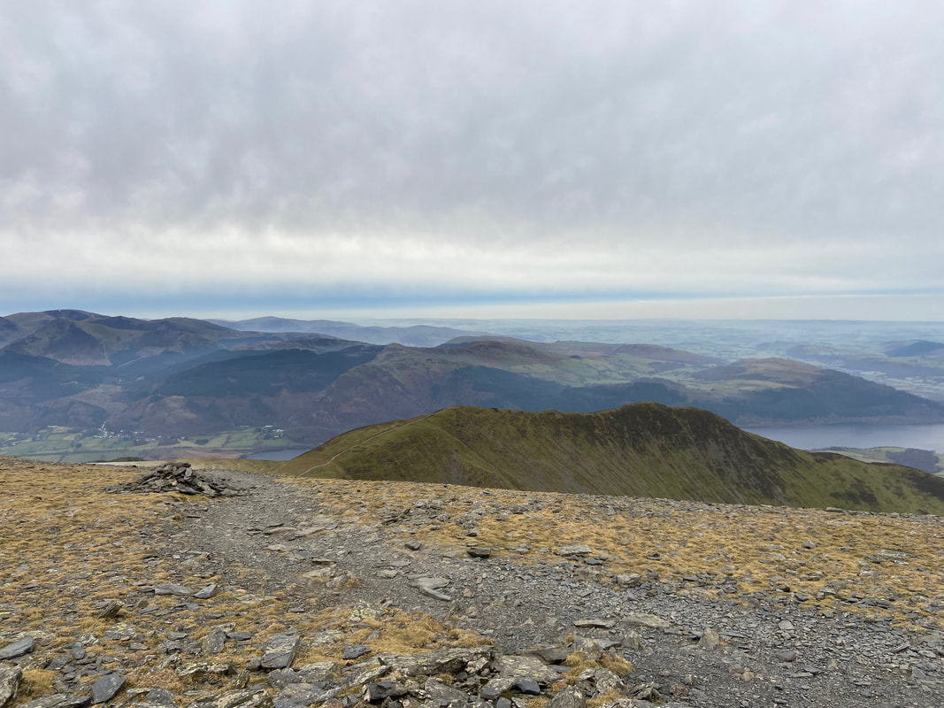
The view from the Toposcope looking to Long Side, Ullock Pike & Bassenthwaite Lake
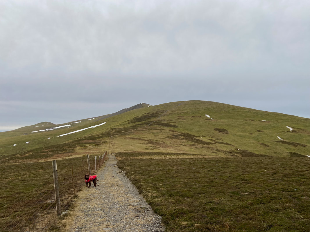
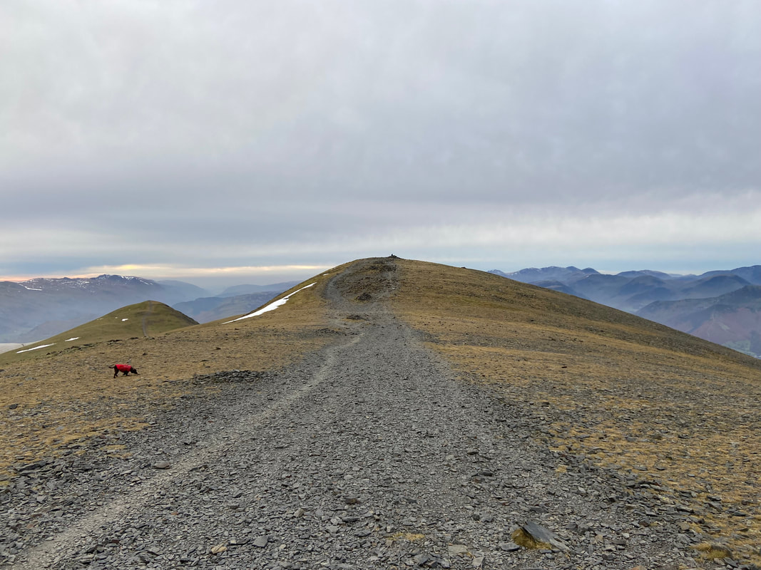
The approach to Skiddaw Middle Top is by way of a wide stone highway that has seen many pairs of boots walk upon it
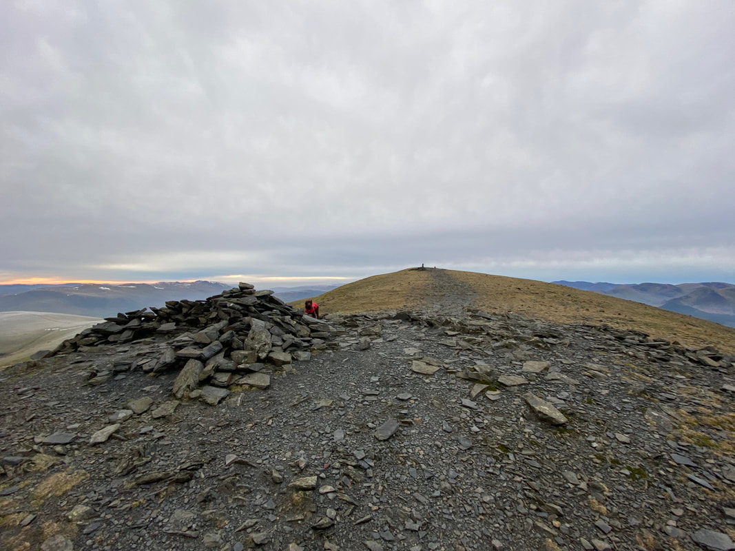
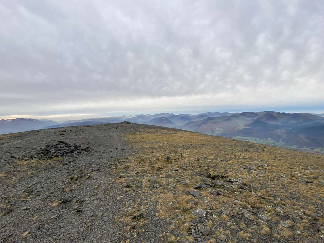
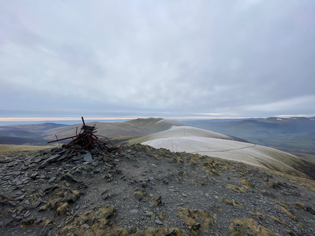
The summit of Skiddaw Middle Top looking back to Skiddaw
Near the summit of Middle Top is a cairn which marks the start of the path down to Carl Side. On a dry day this path is a pleasant but steep transit down to Carl Side but in the winter is best avoided in my humble opinion.
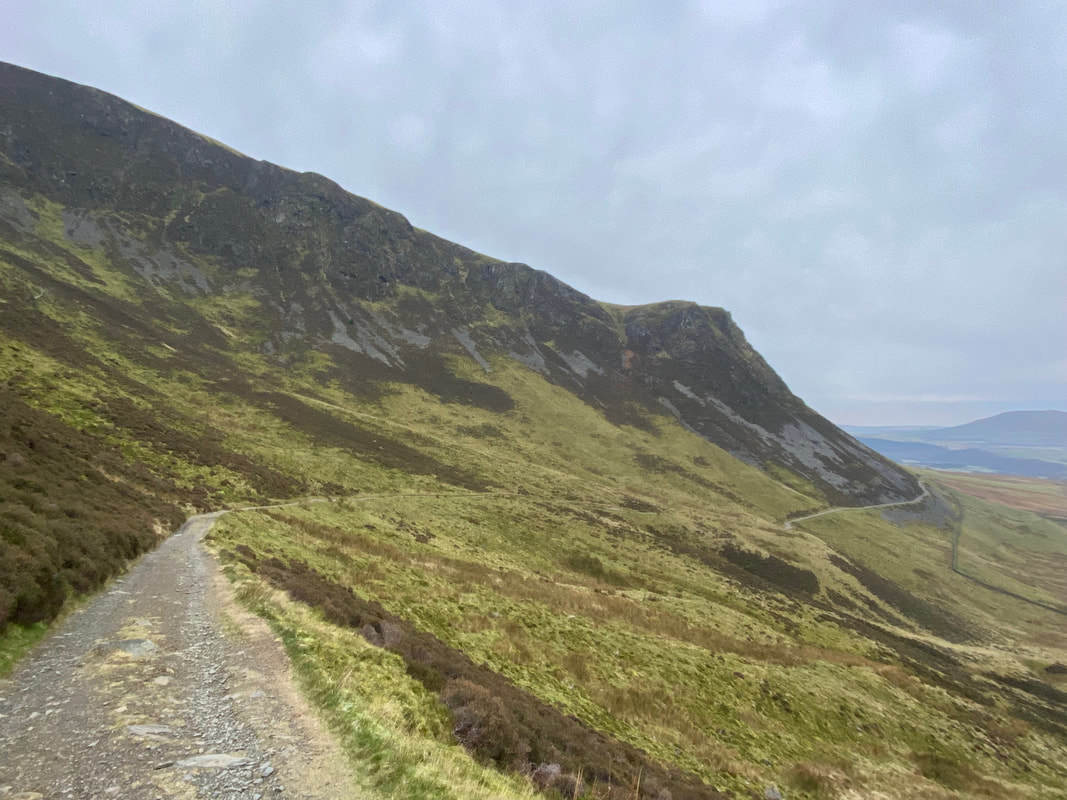
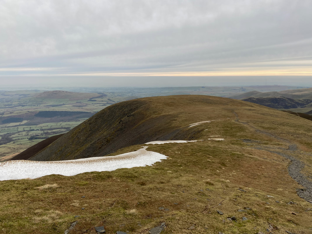
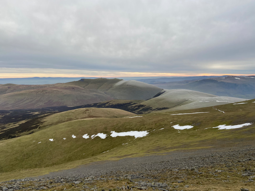
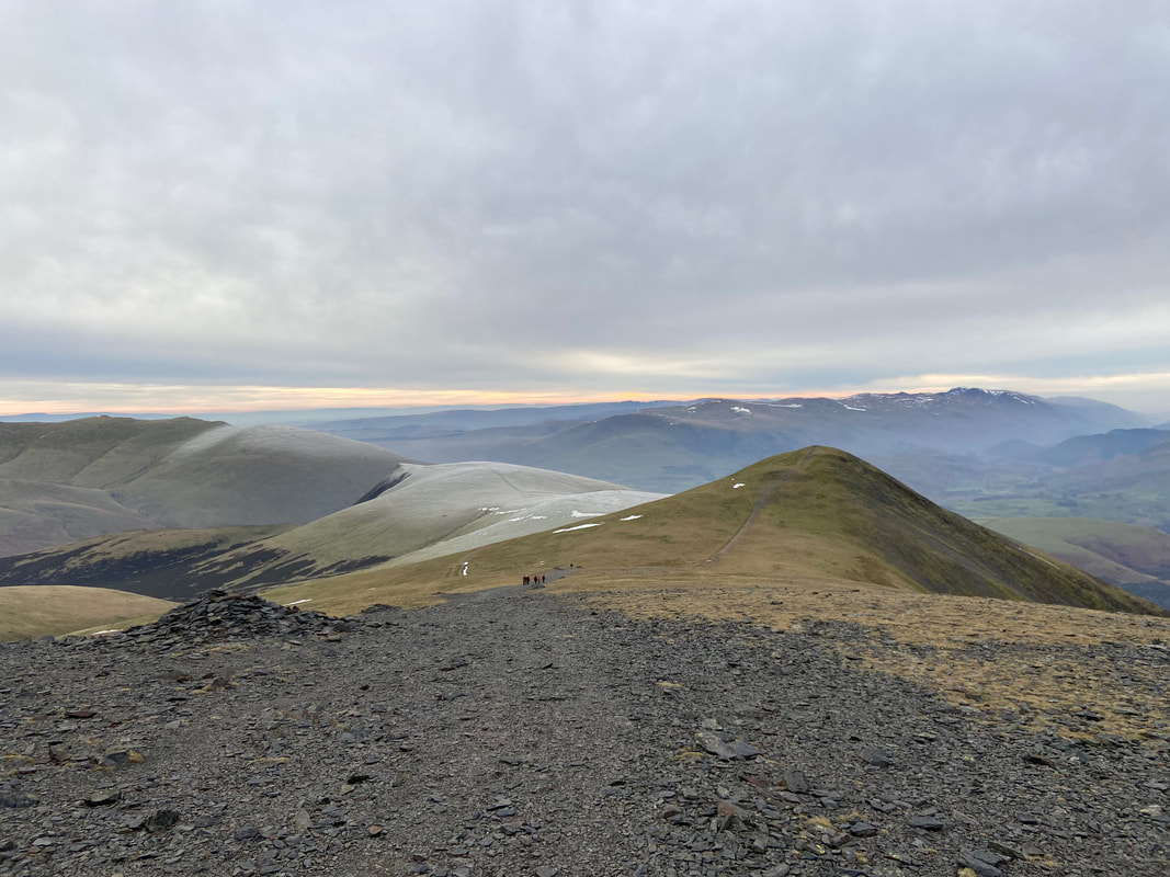
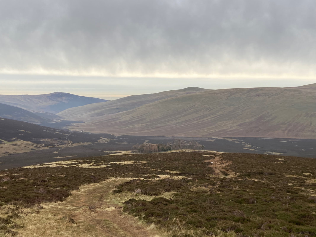
Sale How and my route of descent with Blencathra distant - but first I was off to Skiddaw Little Man
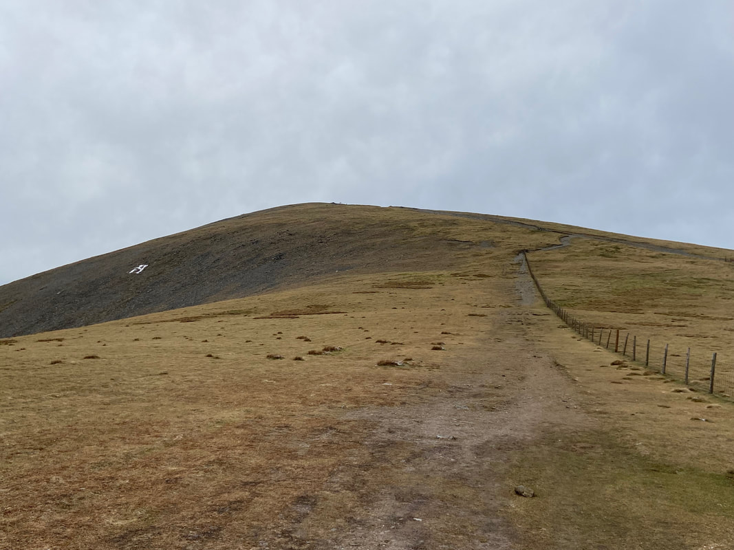
The approach to Skiddaw South Top
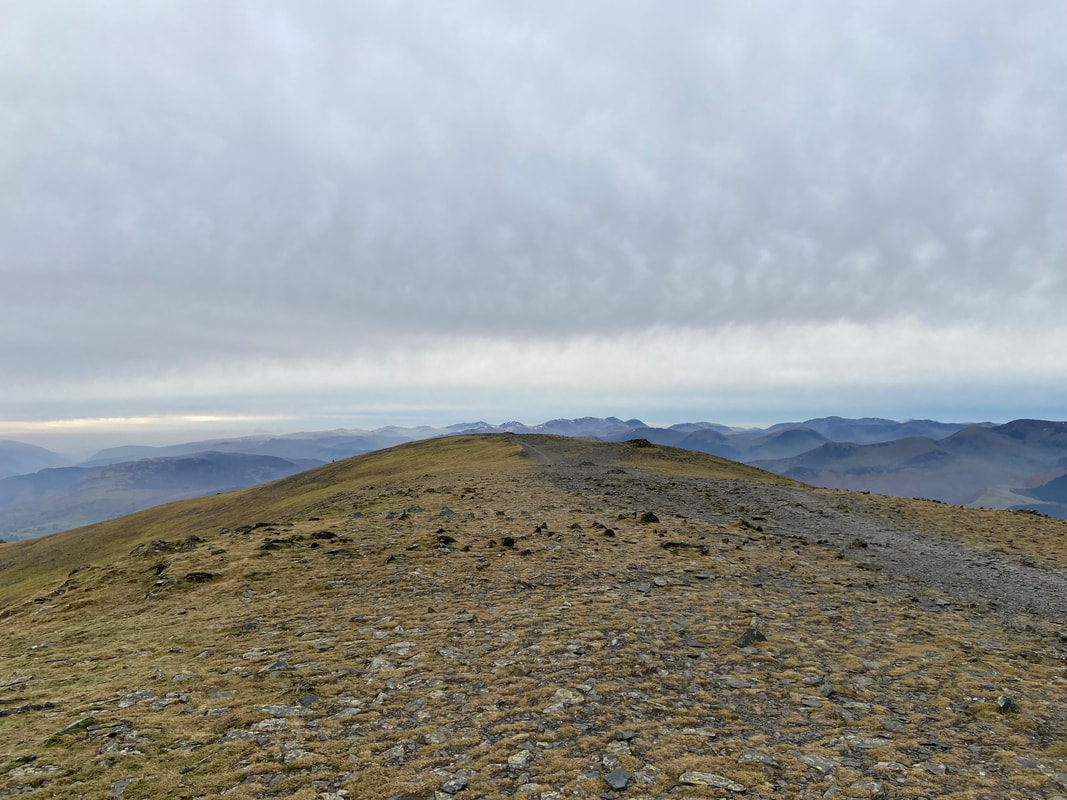
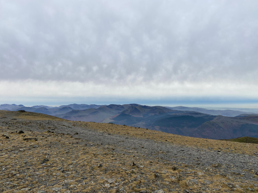
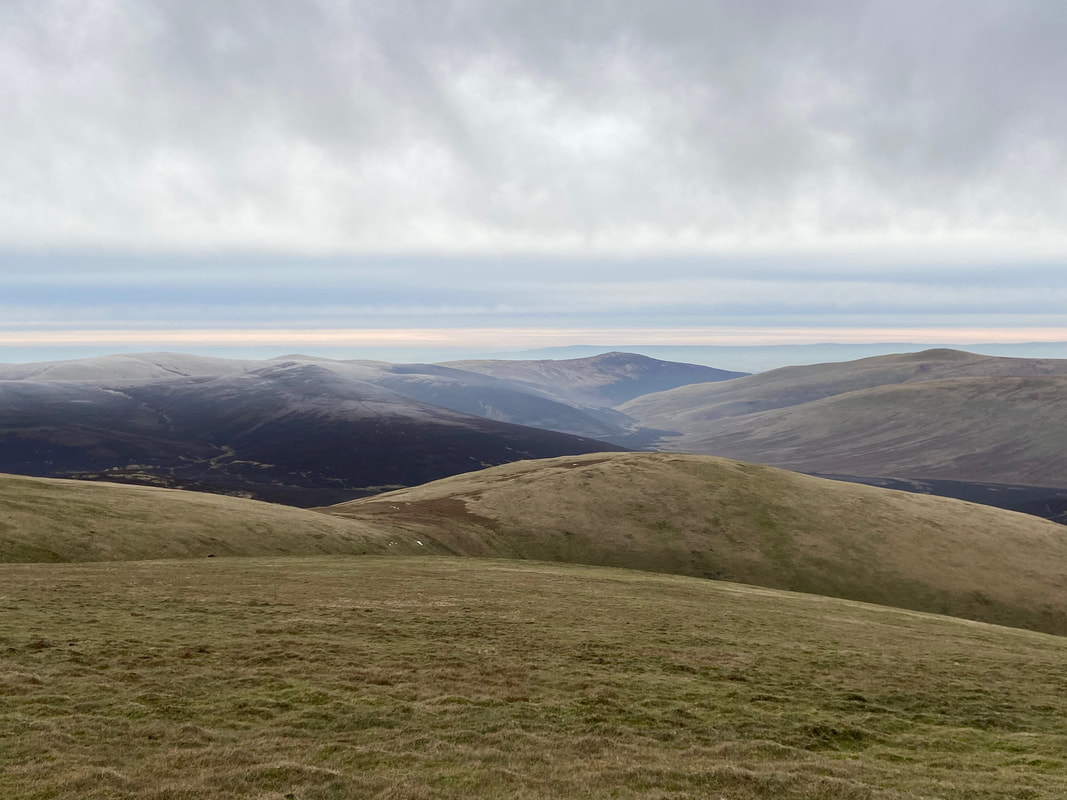
Looking to the North Western Fells from near the South Top
The summit of Skiddaw South Top
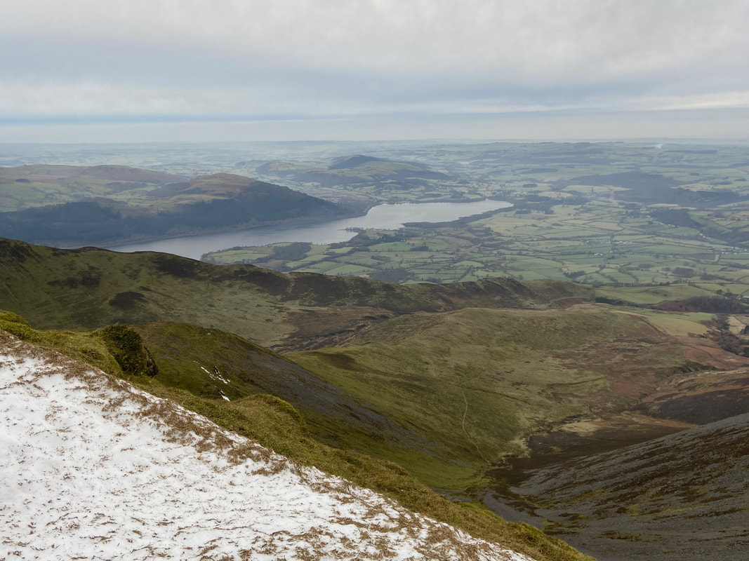
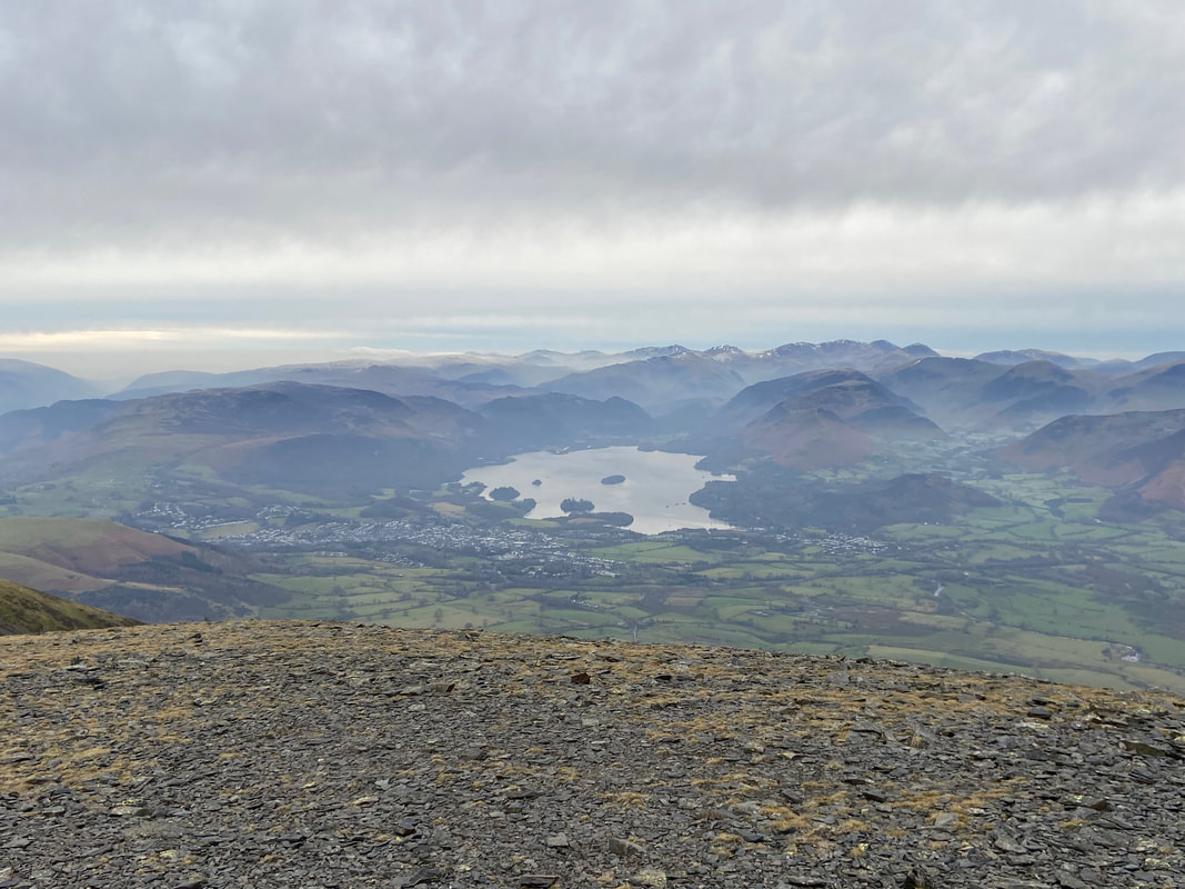
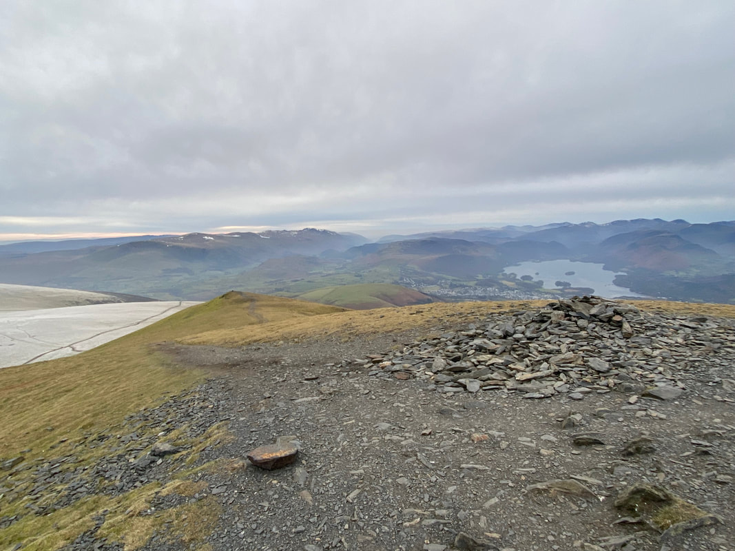
From the summit of the South Top it is worth heading a hundred or so yards to the south west to see this wonderful view down to Keswick & Derwent Water. Despite the dreariness of the day it is still a superb vista.
The path to Skiddaw Little Man. The route drops down to a col to then join a fence which leads to the summit.
The fence line that leads to the summit of Skiddaw Little Man
Looking back to Skiddaw's South Top from the col
The summit of Skiddaw Little Man looking to Lesser Man
The summit of Skiddaw Lesser Man. I would descend from here to meet the path coming in from the right.
The junction of paths below Lesser Man. The path coming in from the right is the popular way up Skiddaw from Gale Road Car Park. The rough path heading straight ahead will take the walker to Lonscale Fell via Jenkin Hill. Finally, the path to the left can be used by walkers heading to Skiddaw who do not wish to climb Lesser Man or Little Man. This would be the path I would be taking however I would be leaving it after 700 yards to head over pathless terrain for 600 yards or so to join the Skiddaw path to Sale How.
Sale How ahead - I would join the path coming down from Skiddaw shortly after crossing the head of Stile Gill
Looking back to Skiddaw from the Sale How path
The summit of Sale How looking to Blencathra & Lonscale Fell
Making my descent from Sale How to Skiddaw House which sits in the trees below. Carrock Fell & Bowscale Fell provide the backdrop.
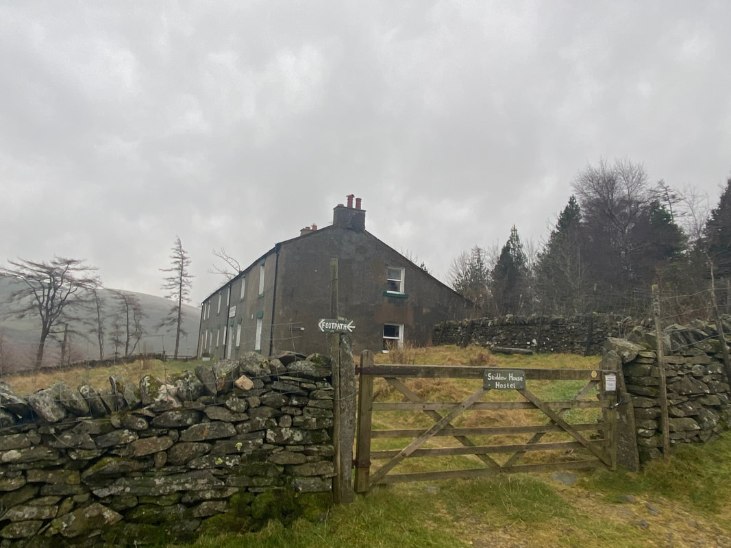
Skiddaw House
Skiddaw House is an independent hostel. It was built as a gamekeeper's lodge in the 1800s and first began providing accommodation to walkers, runners and bikers in 1987. The House was leased in 1986 by John Bothamley who had already created the YHA Carrock Fell Hostel a few miles away. A new staircase was built, several internal walls and three doorways were knocked through to convert the two dwellings into one. After much effort and expense the building was handed over to the YHA and operated as a simple hostel until 2002, when it closed and began to fall into disrepair again. But with the help of the previous hostel manager, many volunteers and the Skiddaw House Foundation (a registered charity), the hostel was renovated and reopened in 2007. It has been welcoming guests ever since, operating as an independent hostel affiliated to the YHA.
The hostel's website can be found here. At the time of writing (January 2023) it was up for sale.
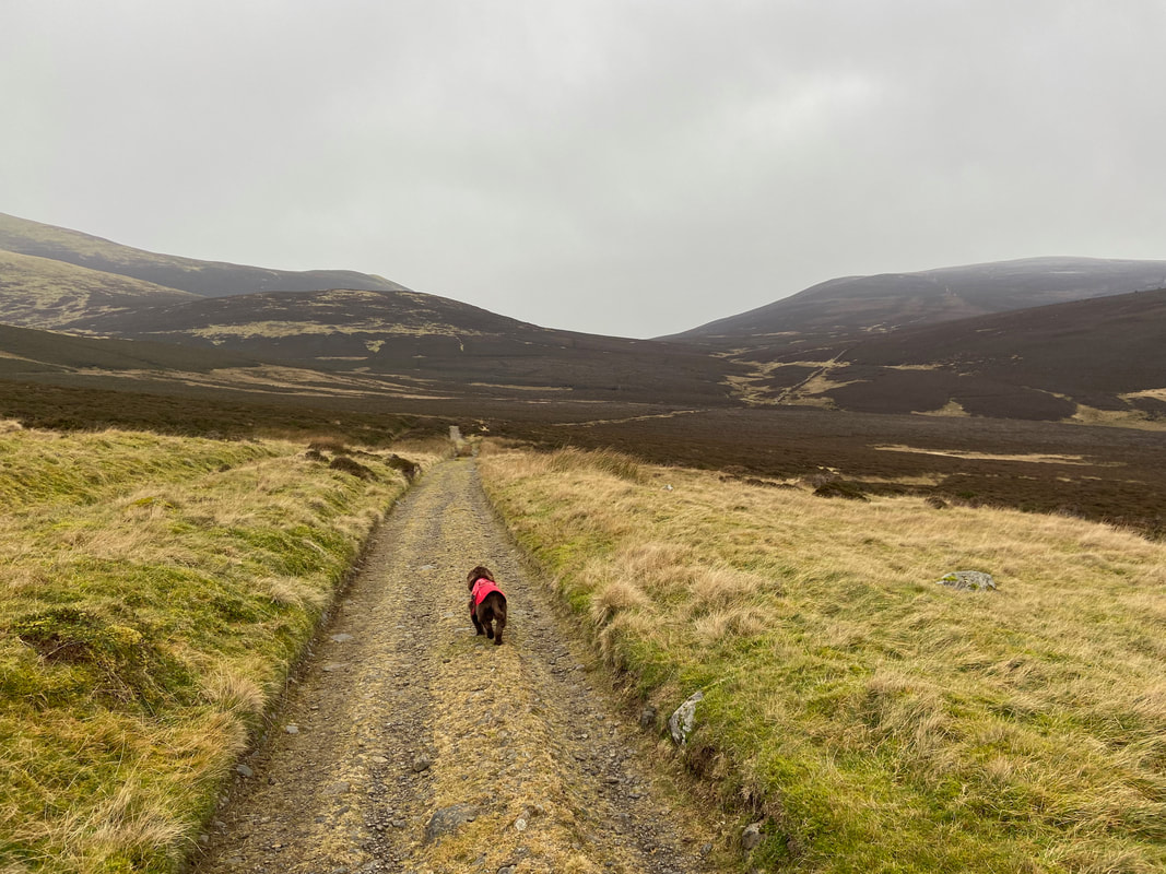
From Skiddaw House the route heads along The Cumbria Way - Fudge is now in "relaxed bimble mode"
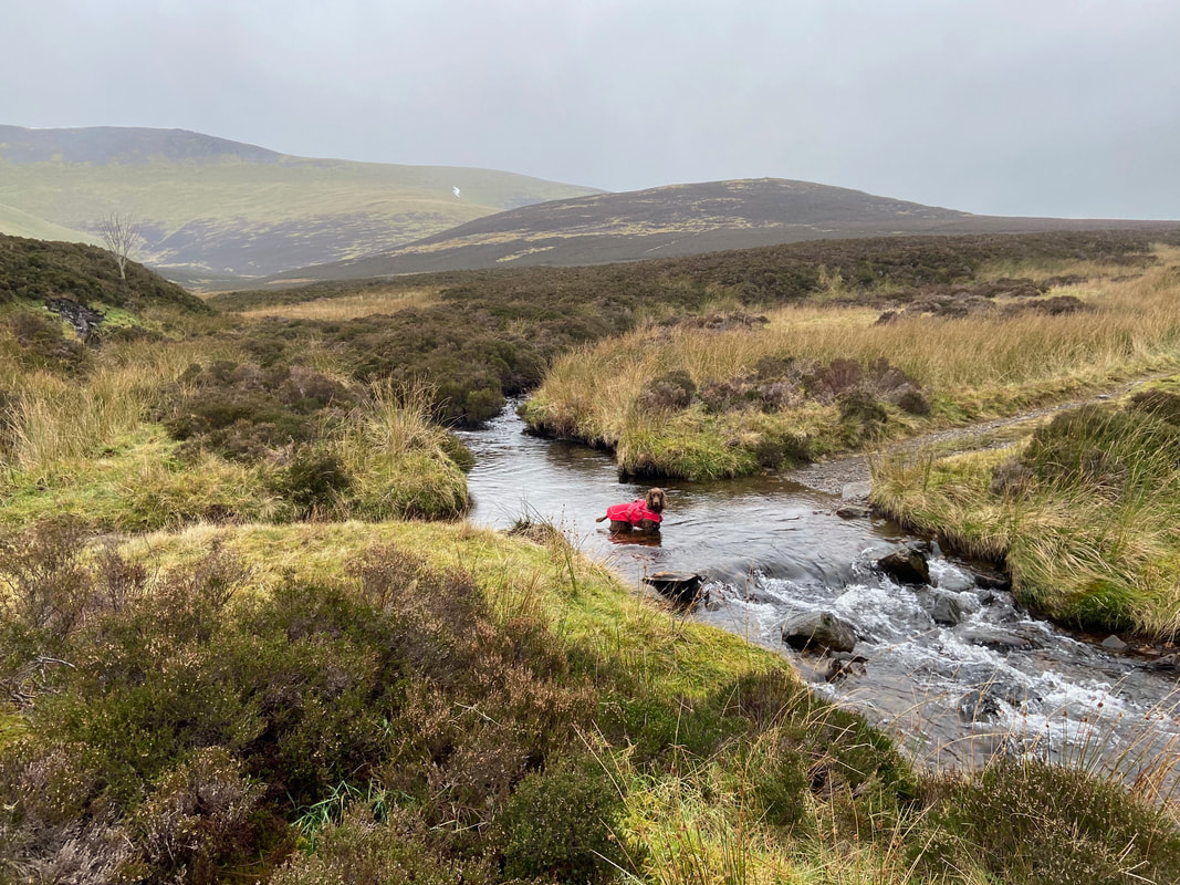
Why cross the confluence of the River Caldew and Broad Gill there Fudge.........................
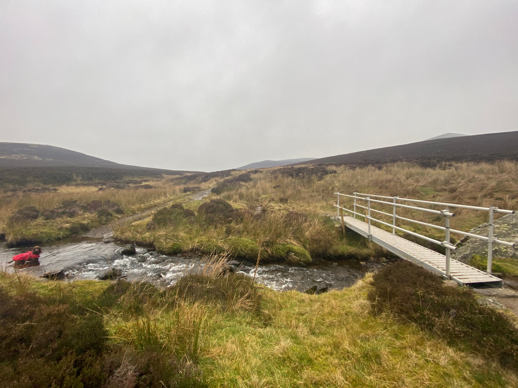
............when there is a perfectly good footbridge?
Arriving at the other Dead Beck. For those wanting to add Great Calva to the walk the path is to the right opposite the tree but is not readily apparent on the ground. The Grid Reference is NY 28294 30375.
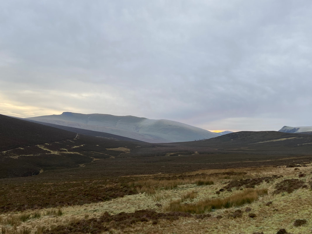
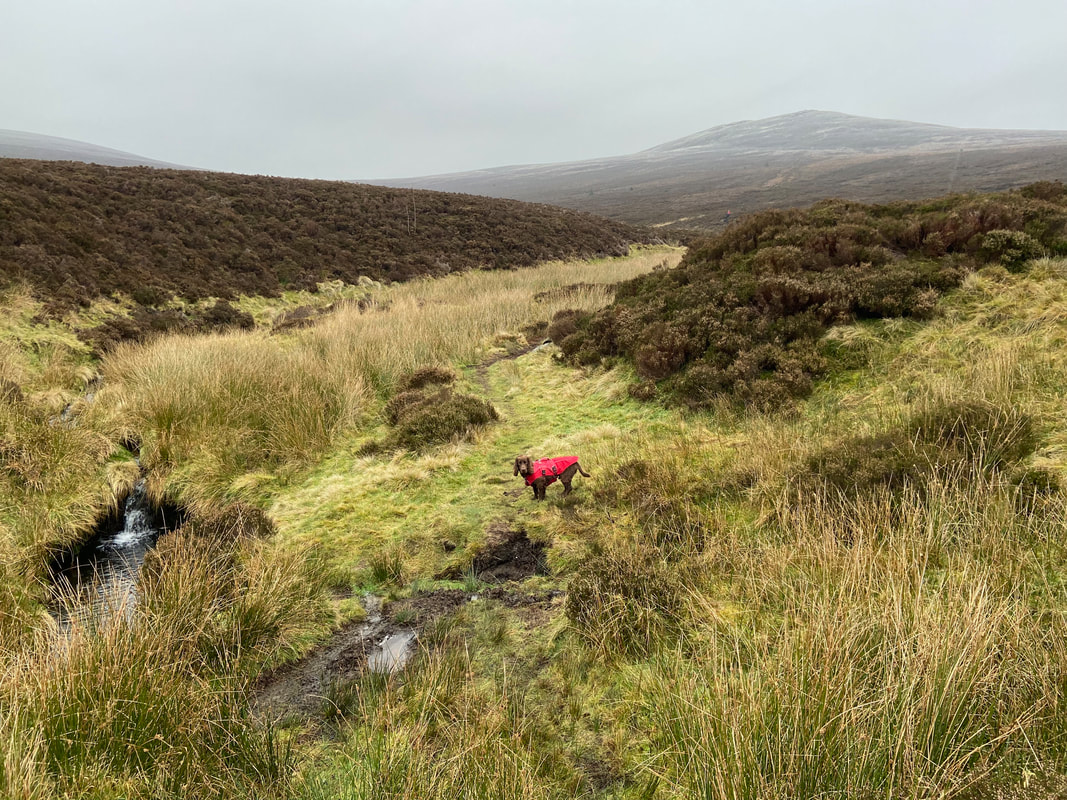
The path to Great Calva, the summit of which can be seen in the murk ahead - not today Fudge.
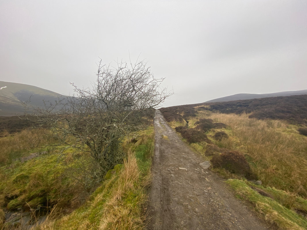
Arriving back at the gate below Birkett Edge. All that was left to do now was follow the good track for just under 2 miles back to the start at Peter House Farm.
