Day 4 - Tuesday 18 April 2023
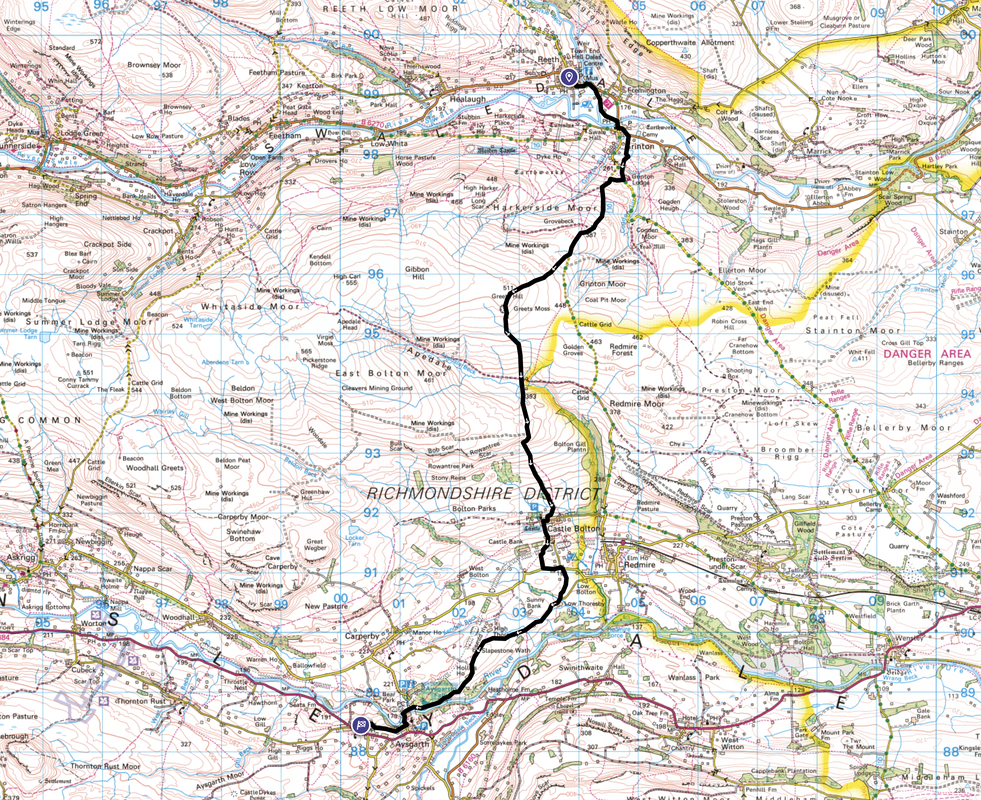
Reeth to Aysgarth (11 miles)
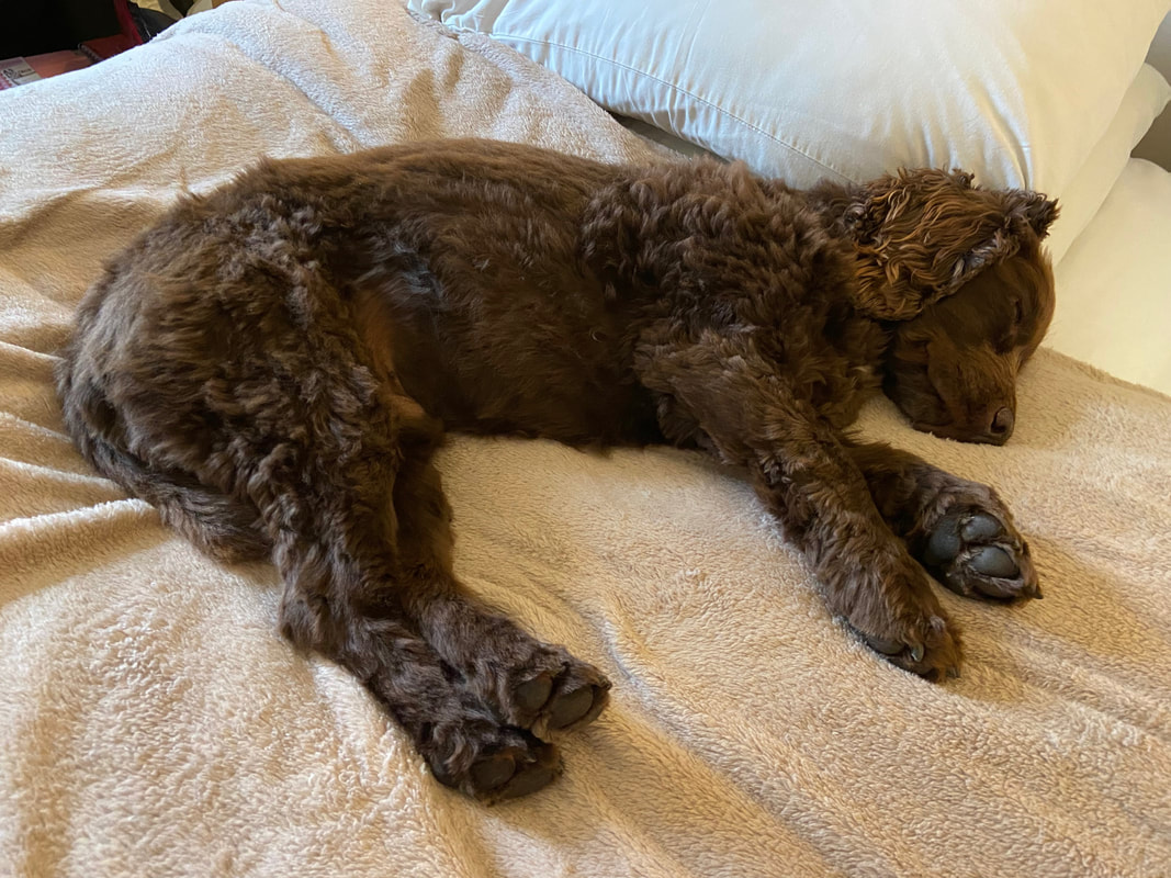
OY!! No slack hammock here Fudge my boy - we have got one more leg to go
Prior to starting the final day in Reeth, the Duck decided to get down with the locals
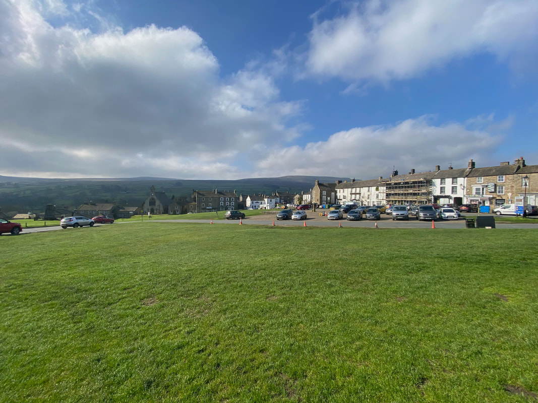
The village green in Reeth - this really is a lovely place to be at any time of year
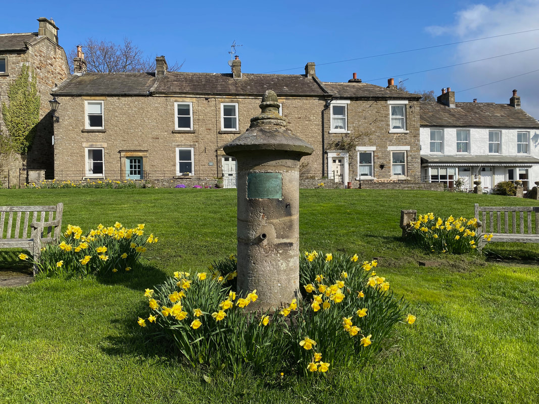
The Victorian Water Pump and Trough located on Reeth's village green. The plaque reads:
"This water was brought into the town and these tanks erected by the munificence of Geo. Robinson Esq of Richmond 1868".
"This water was brought into the town and these tanks erected by the munificence of Geo. Robinson Esq of Richmond 1868".
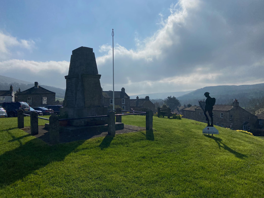
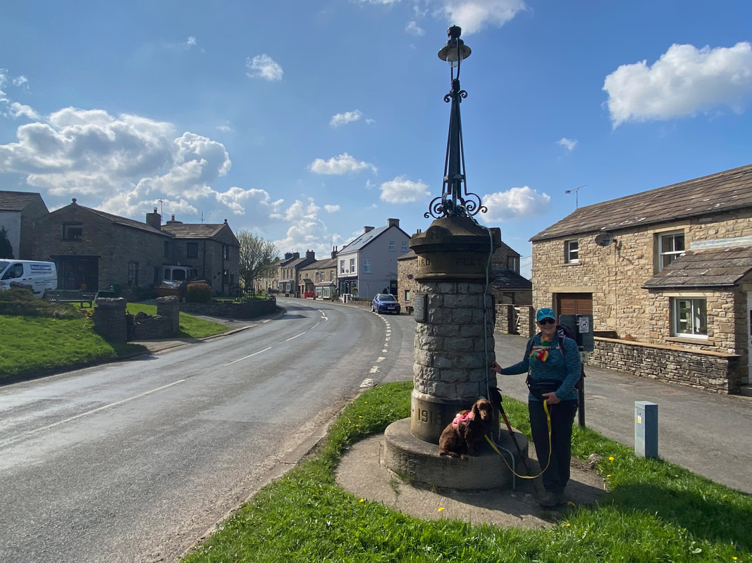
The War Memorial on Reeth's village green
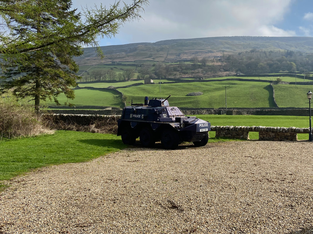
This has been sited here for many years and is a Saracen Police armoured car from Hong Kong
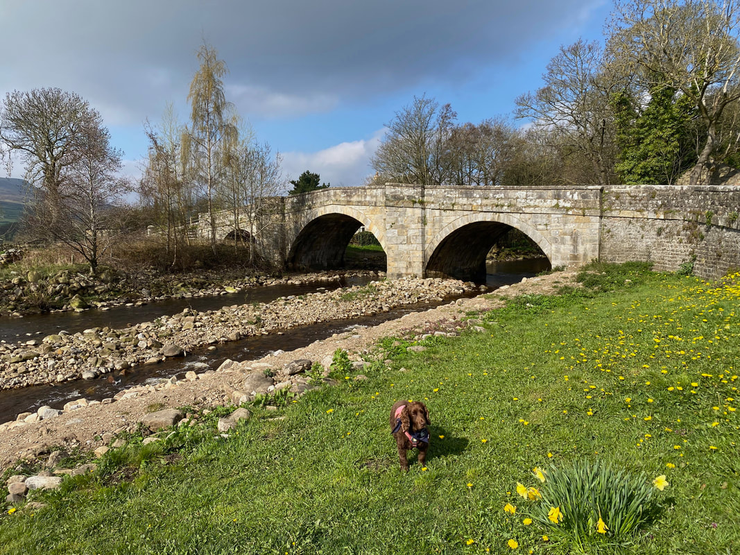
Daffs are out in force as we look to Reeth Bridge over Arkle Beck
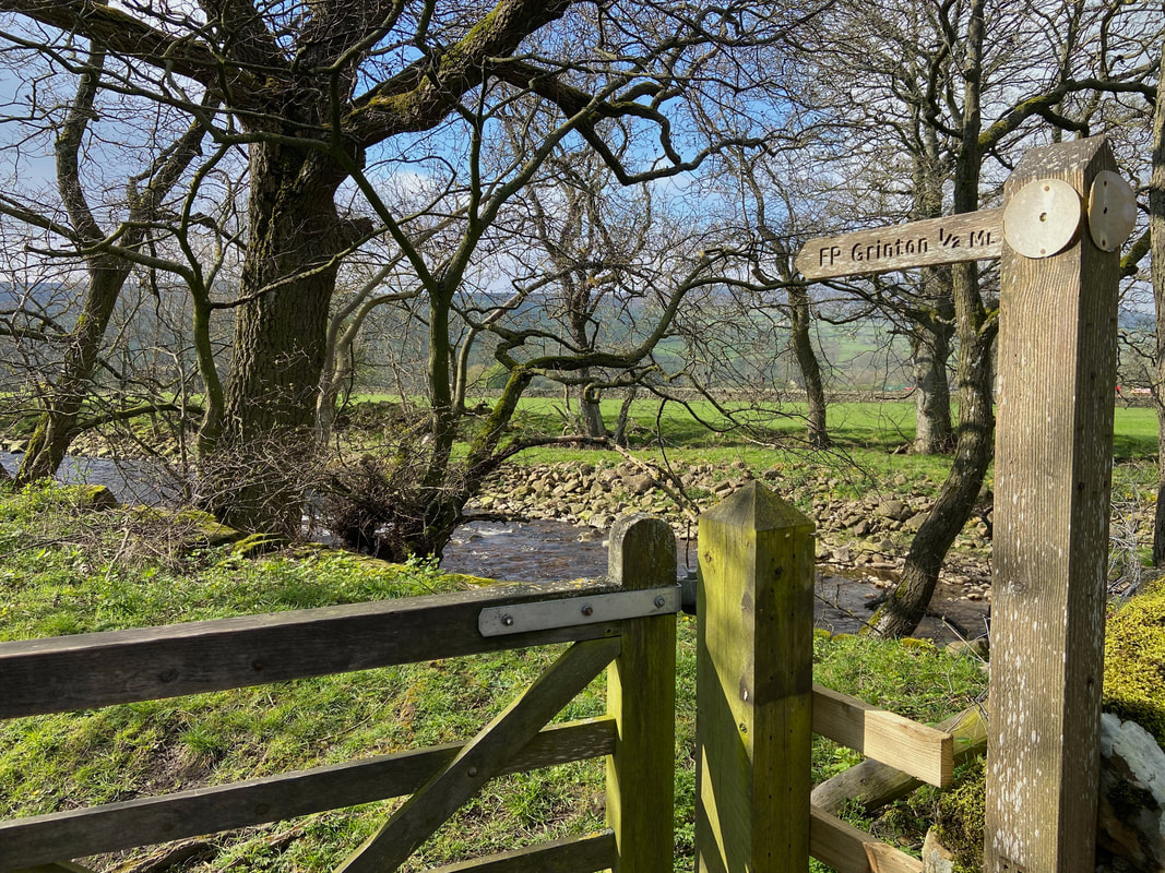
From Reeth we would be following the Coast to Coast route as far as Grinton
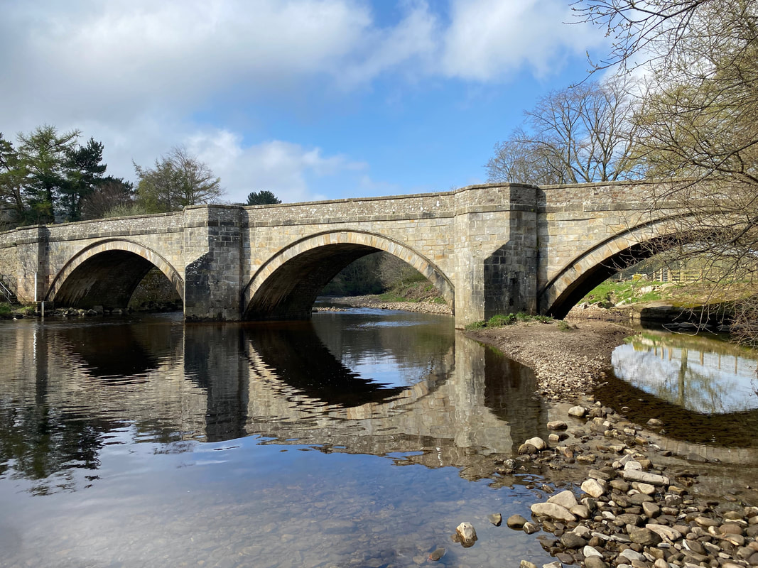
The three arched Grinton Bridge over the River Swale
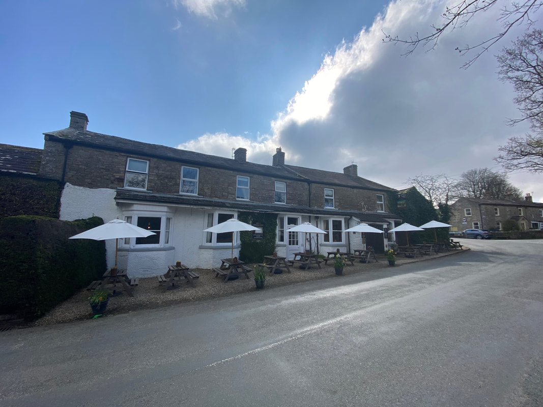
The Bridge Inn at Grinton - the route turns left at the far end of the pub
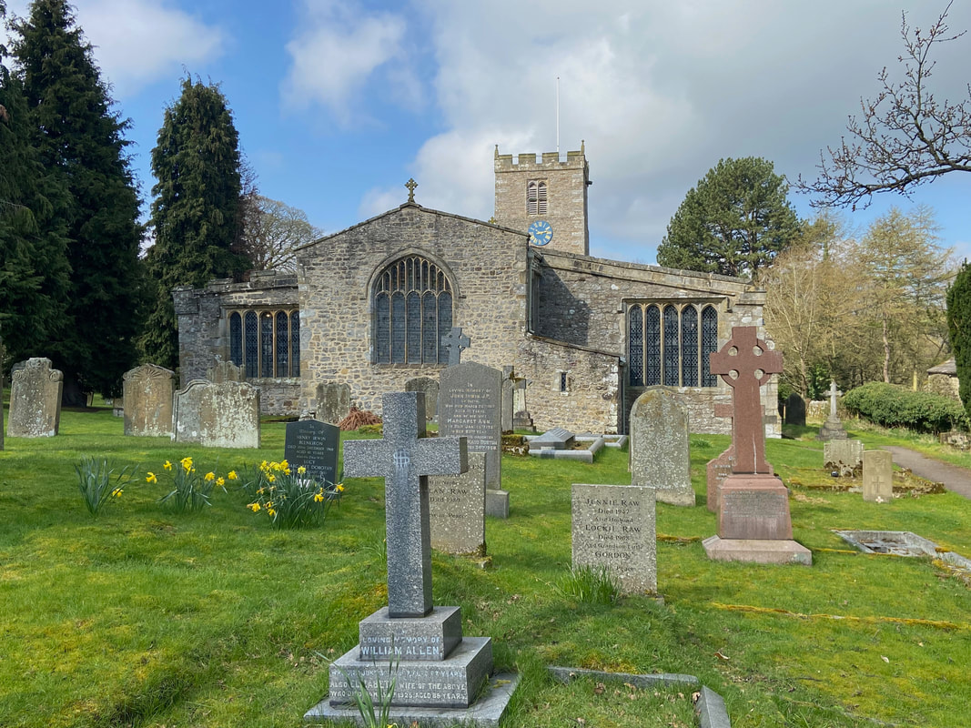
The Church of St Andrew in Grinton
Built in the 12th Century the building is Grade 1 Listed and has also been called "The Cathedral of the Dales" and is the only parish church in Upper Swaledale. The church was built in the 12th century and has many alterations to its original Norman architecture. As the church was the only parish church in the area, for 400 years St Andrew's presided over the largest parish by area in Yorkshire. The church is notable for having a chained bible, a Jacobean pulpit with sounding board, and a hagioscope (a small splayed opening or tunnel at seated eye-level, through an internal masonry dividing wall of a church in an oblique direction) in the south wall. The church is also noted for being the most northerly of the "Pennine Perpendicular churches".
Built in the 12th Century the building is Grade 1 Listed and has also been called "The Cathedral of the Dales" and is the only parish church in Upper Swaledale. The church was built in the 12th century and has many alterations to its original Norman architecture. As the church was the only parish church in the area, for 400 years St Andrew's presided over the largest parish by area in Yorkshire. The church is notable for having a chained bible, a Jacobean pulpit with sounding board, and a hagioscope (a small splayed opening or tunnel at seated eye-level, through an internal masonry dividing wall of a church in an oblique direction) in the south wall. The church is also noted for being the most northerly of the "Pennine Perpendicular churches".
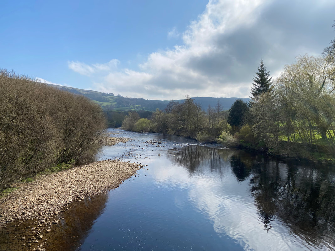
Looking down the River Swale from Grinton Bridge
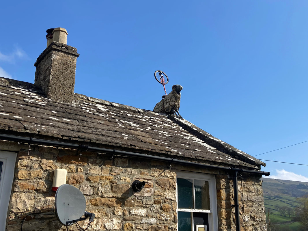
Nothing to see here - just a sheep on the roof of a pub with a bicycle wheel on its back
Apparently the sheep is often decorated to celebrate local events and in the past several adornments have appeared on its back - notably, a Tuba, a Guitar and as in this case a bicycle wheel
Apparently the sheep is often decorated to celebrate local events and in the past several adornments have appeared on its back - notably, a Tuba, a Guitar and as in this case a bicycle wheel
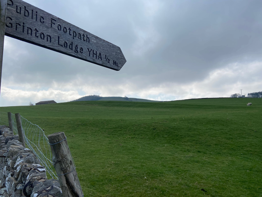
From the pub the route heads along the B6270 for about 250 yards then leaves the road to head over fields towards Grinton Lodge YHA
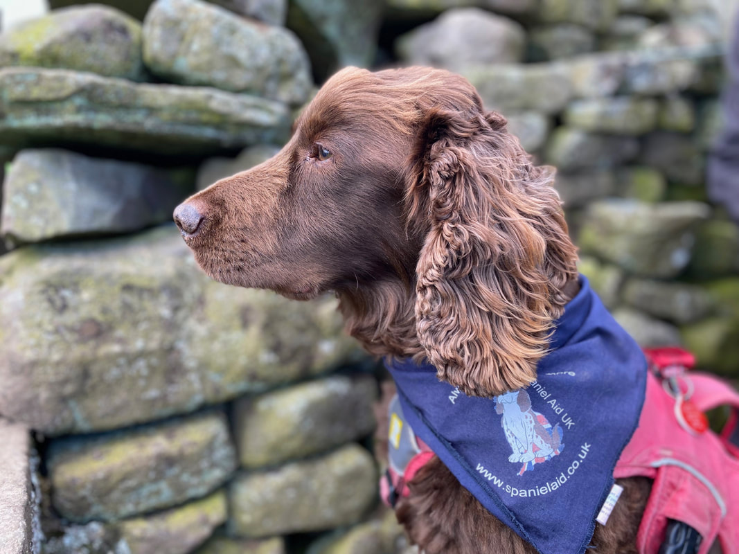
The picture of innocence and deep concentration - thinking that it is a good hour since he last had anything to eat
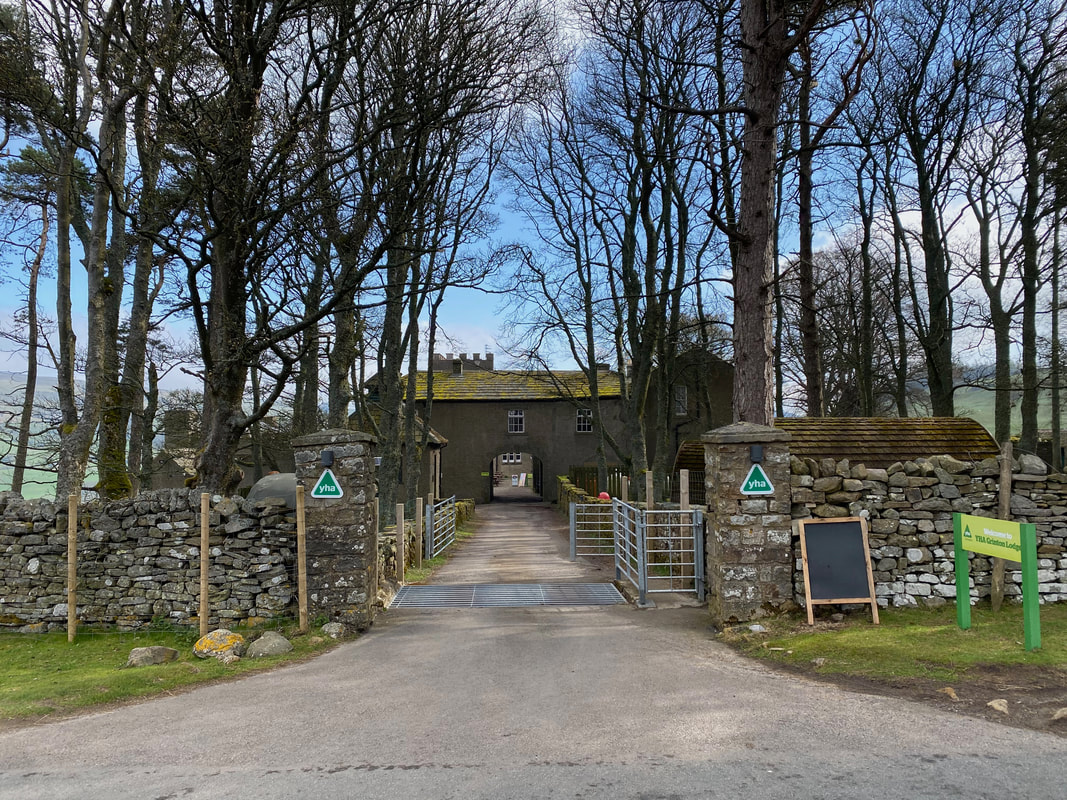
Grinton Lodge YHA - the building is a former hunting lodge
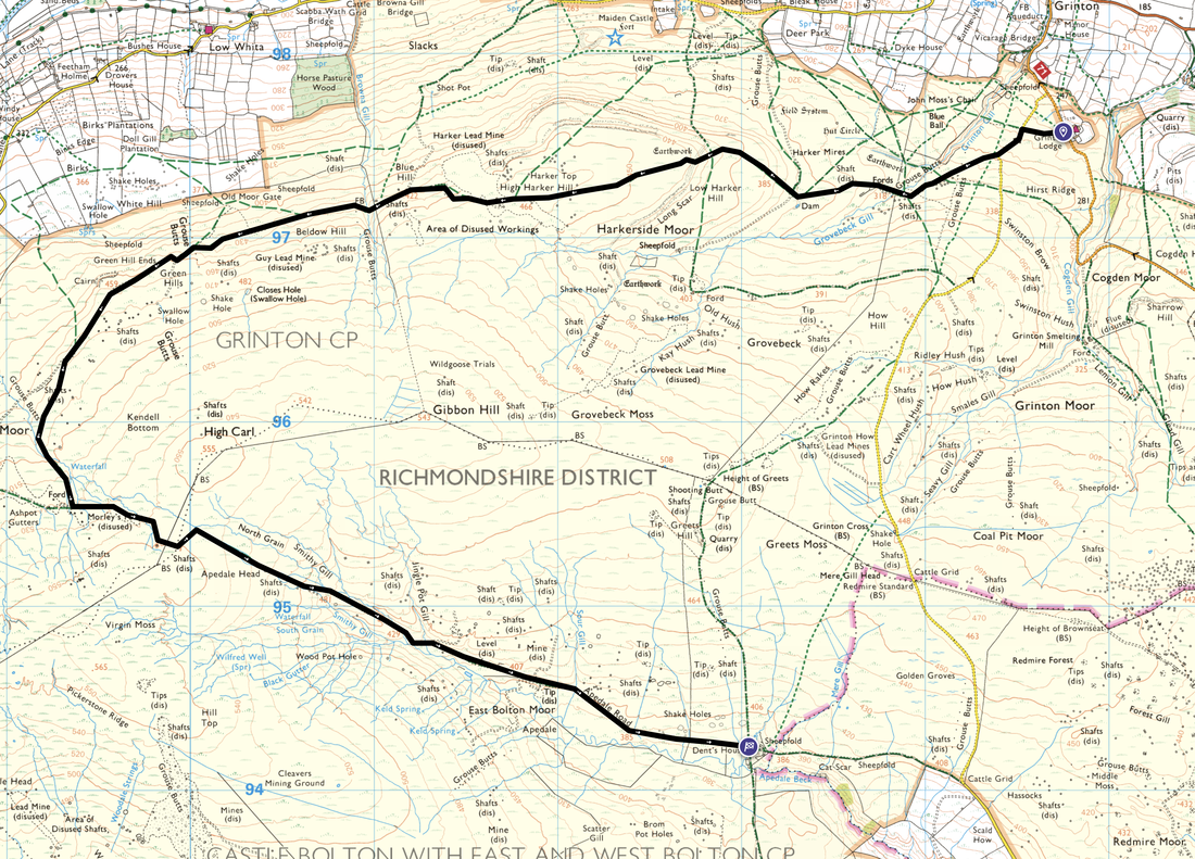
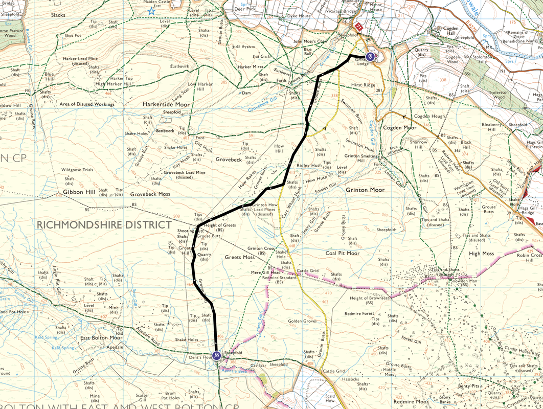
There are now two options to consider to get to the shooting hut at Dent's Houses. Both options are detailed below.
There are now two options to consider to get to the shooting hut at Dent's Houses. Both options are detailed below.
Option 1 - Long Route around Gibbon Hill via Morley's Folly - 7 miles with 1132ft (345m) of ascent.
Whilst longer, this is probably the best option to take if the weather is inclement and the visibility is poor as it is easier to follow.
Whilst longer, this is probably the best option to take if the weather is inclement and the visibility is poor as it is easier to follow.
Option 2 - Short Route via Height of Greets - 3 miles with 800ft (244m) of ascent.
This route for the most part is over open moorland on indistinct paths and whilst shorter is a better route in good weather.
This route for the most part is over open moorland on indistinct paths and whilst shorter is a better route in good weather.
As it was such a lovely day we decided to take the shorter route over the open moorland. Both routes leave Grinton Lodge at the same place and split a bit further on from here.
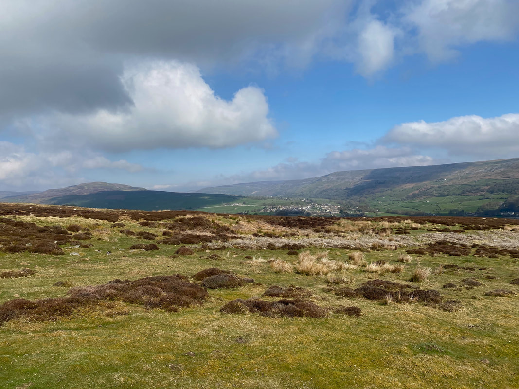
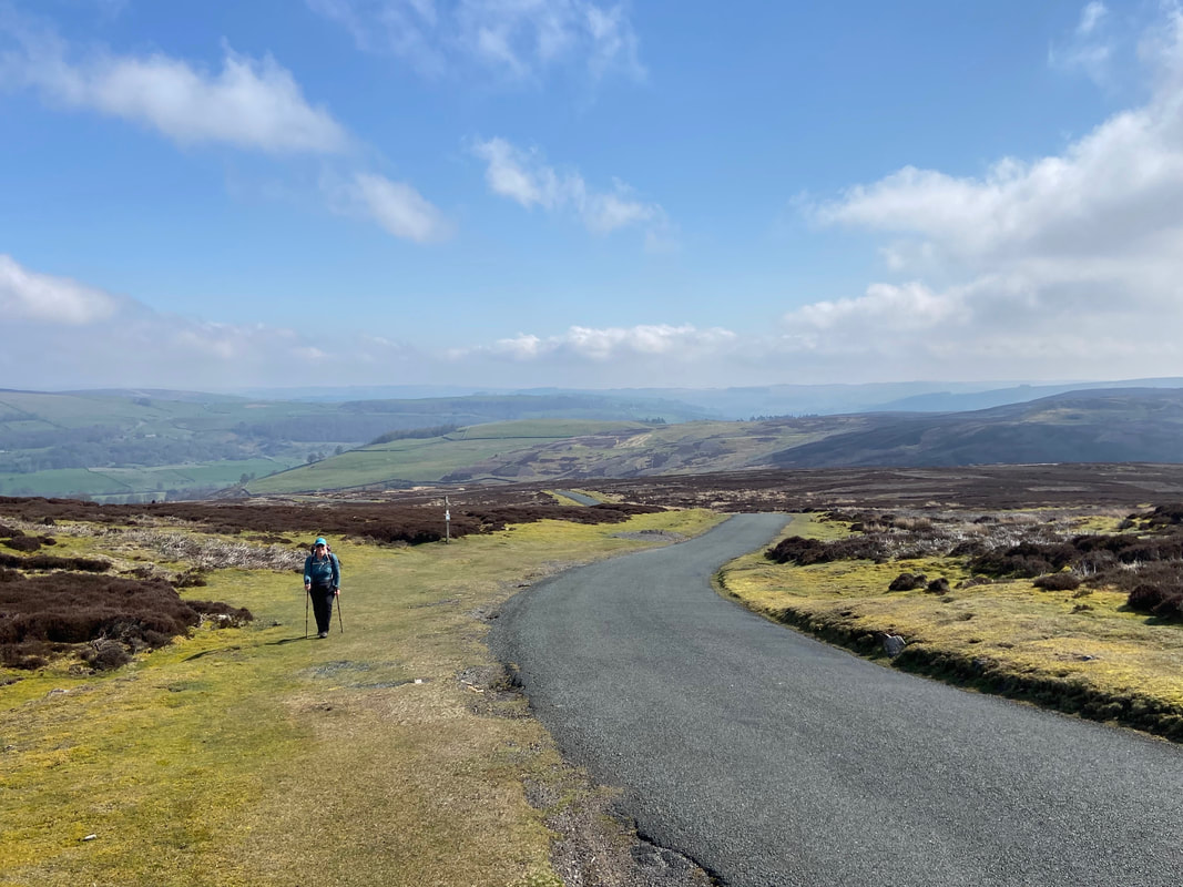
Looking back to Reeth
The short route heads along the road that serves as a route between the villages of Grinton & Redmire
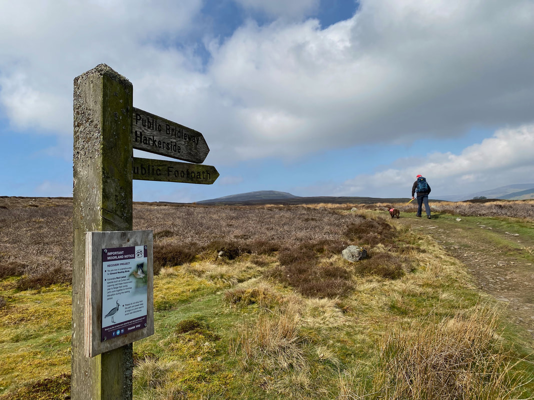
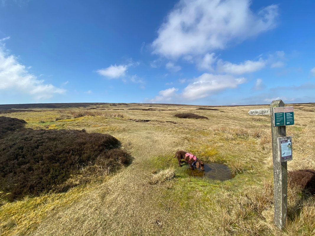
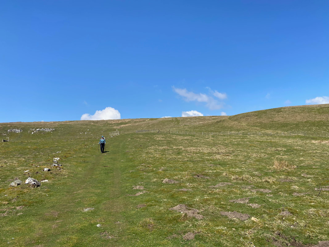
Leaving the road, the short route heads over open moorland to Height of Greets via a Bridleway sign. Fudge has a quick slurp before ploughing on.
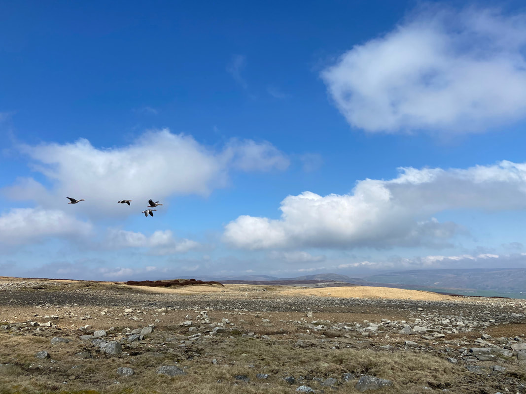
Approaching the Height of Greets we were joined for a while by a few formation Geese
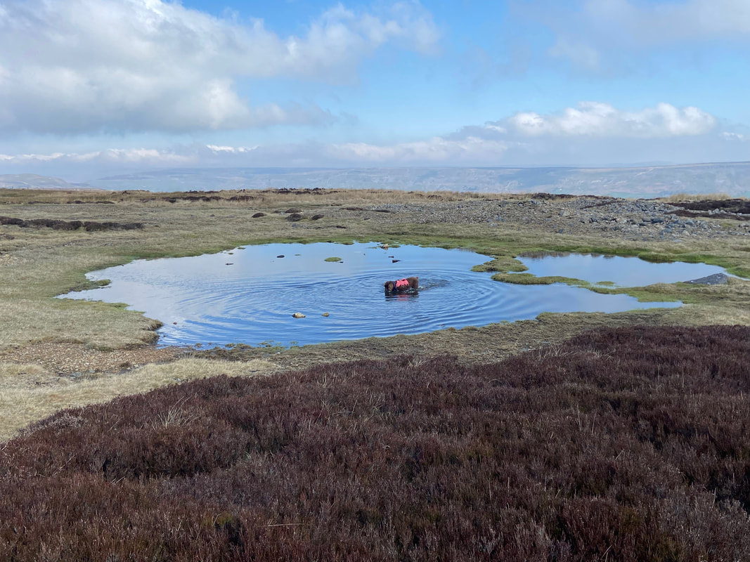
Fudge cools off as we approach the Height of Greets
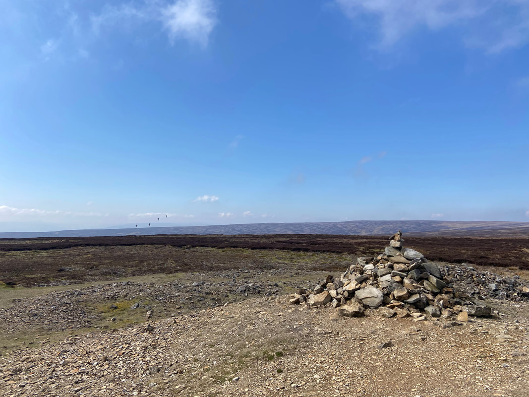
The Geese continue to put on a flying display as we reach the cairn at Height of Greets
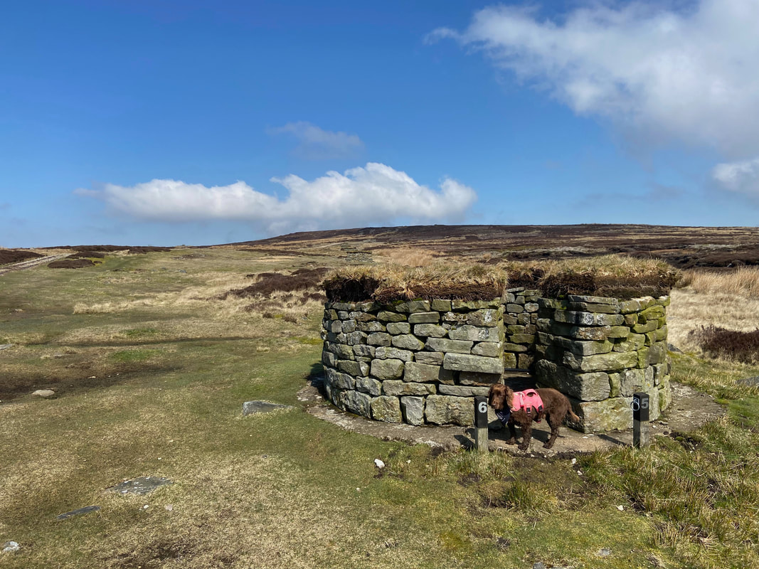
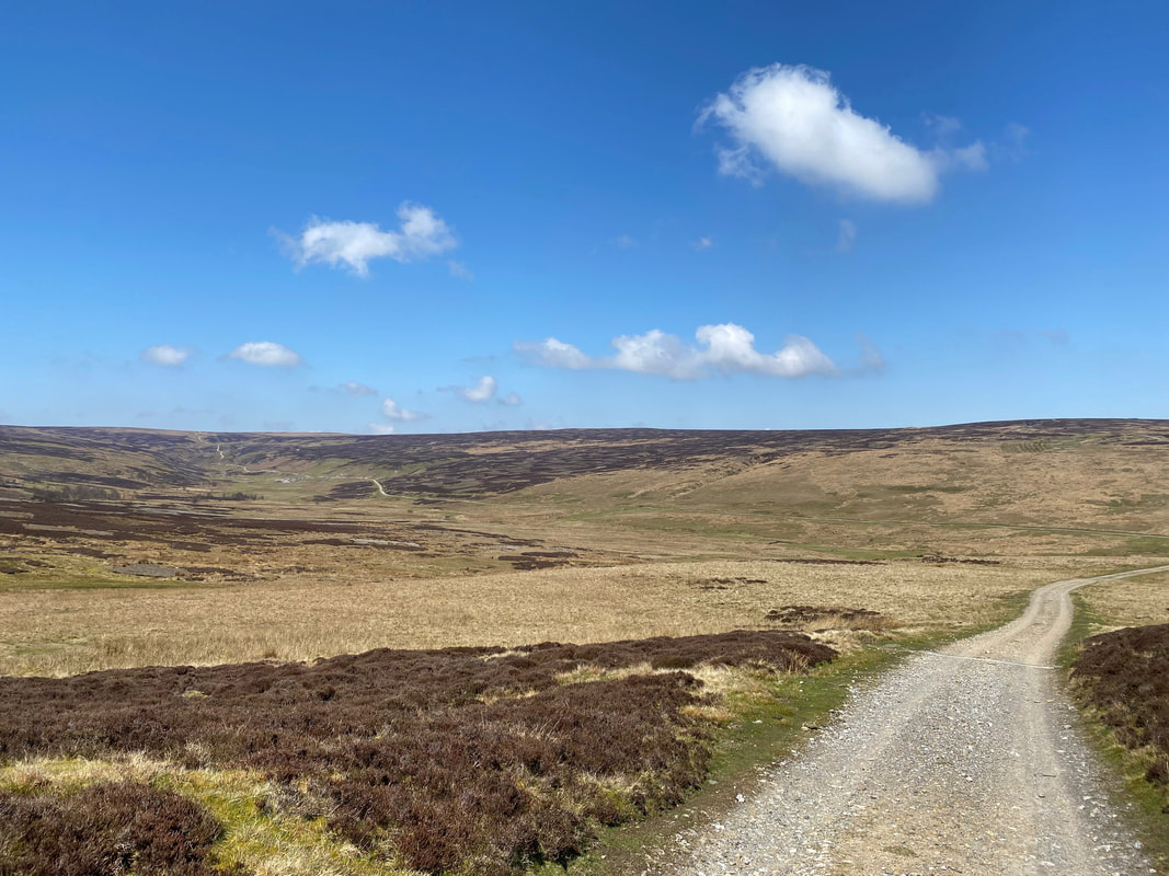
The area south of Height of Greets contained many Grouse Butts - thankfully not in use today
Heading for Dent's Houses and the Duck decided to grab a lift
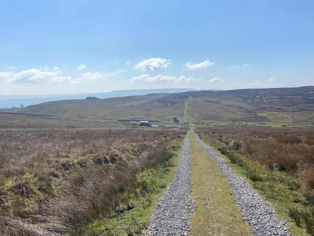
Approaching Dent's Houses
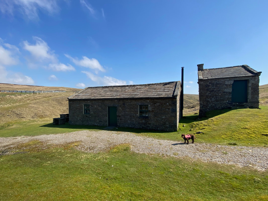
Dent's Houses
A pair of stone buildings close by Apedale Beck and owned by the Castle Bolton Estate. They were probably originally built for the lead mining industry which thrived further up the gill and on the surrounding moors.
A pair of stone buildings close by Apedale Beck and owned by the Castle Bolton Estate. They were probably originally built for the lead mining industry which thrived further up the gill and on the surrounding moors.
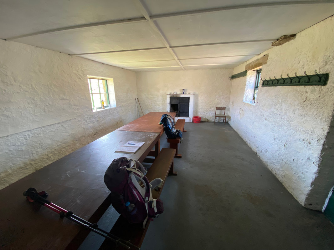
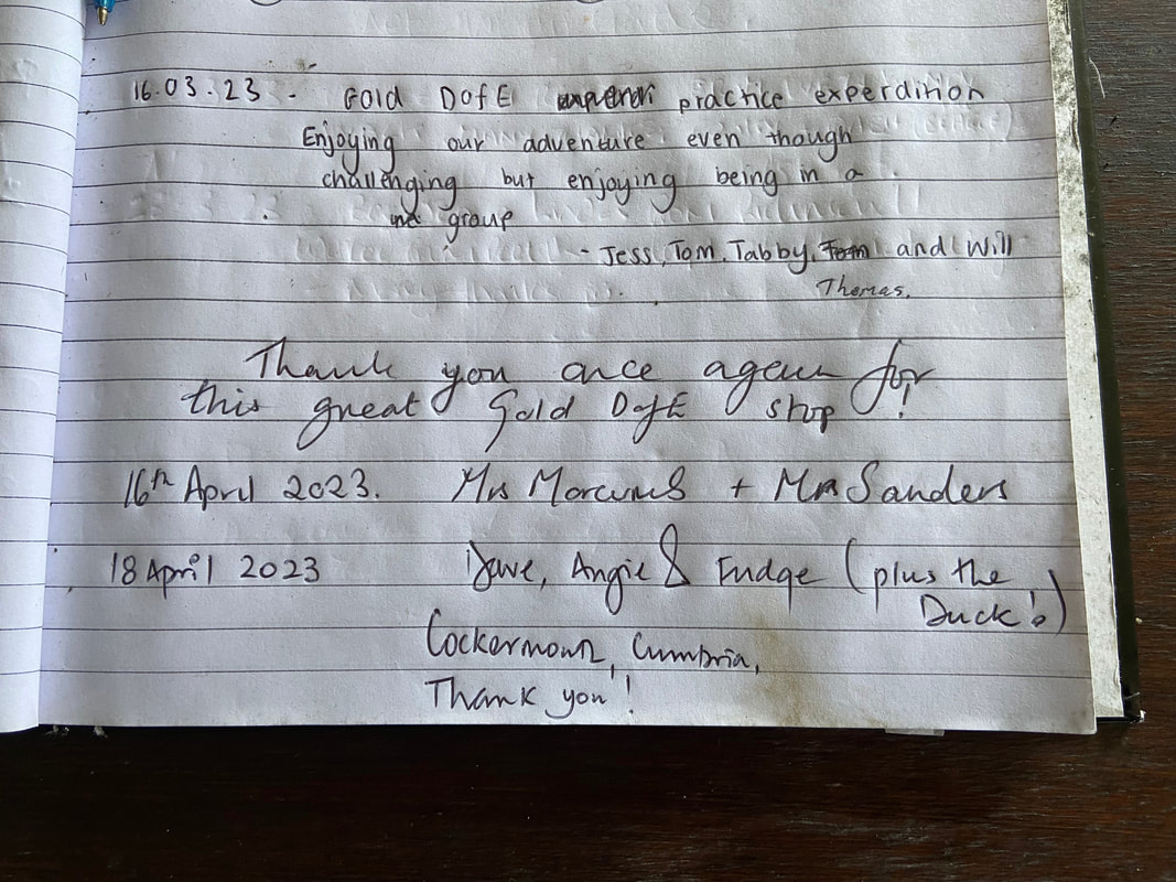
The immaculate interior of Dent's Houses. There is a notice inside stating that whilst the buildings are owned by the Castle Bolton Estate, walkers are welcome to take shelter in the building when not in use by the estate.
So we did - and enjoyed our lunch here
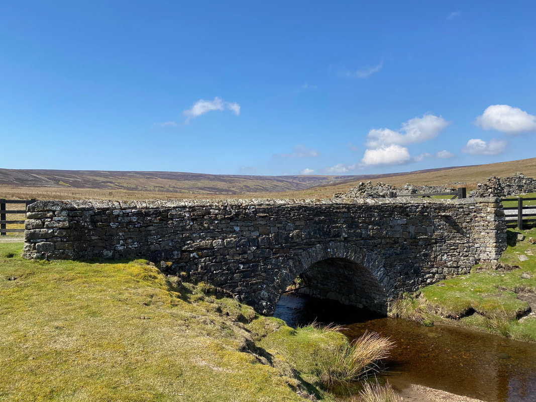
The bridge over Apedale Beck at Dent's Houses
Looking back into Apedale from Dent's Houses. The path coming in from the left is the longer route via Gibbon Hill.
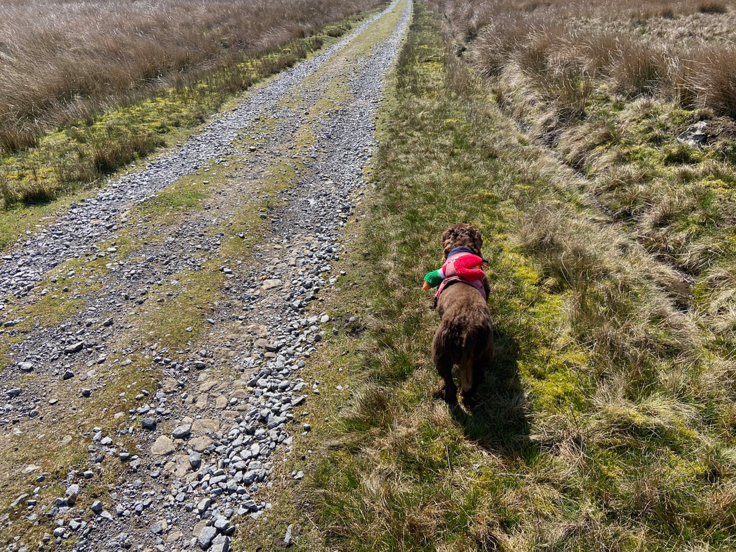
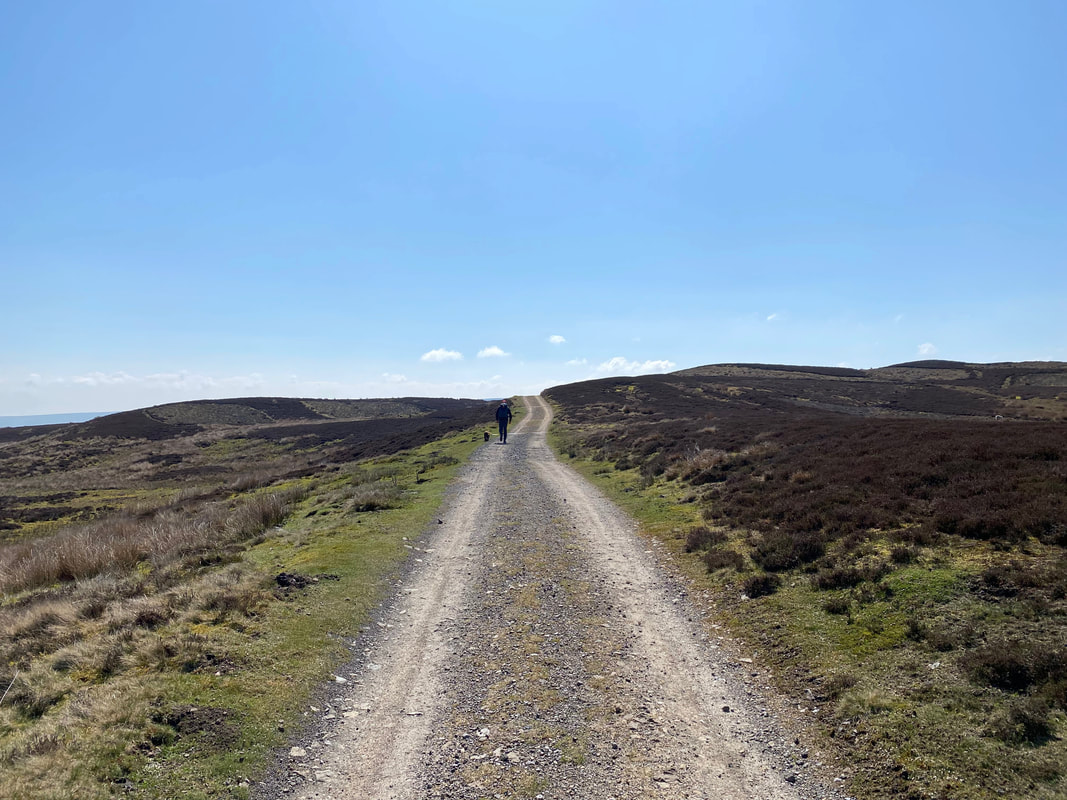
Leaving Dent's Houses the route continues uphill along an access track towards Castle Bolton
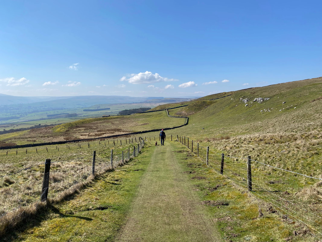
After a while the route starts to descend, this time on a carpet of grass
Angie makes her way down the slope at Anderson Park
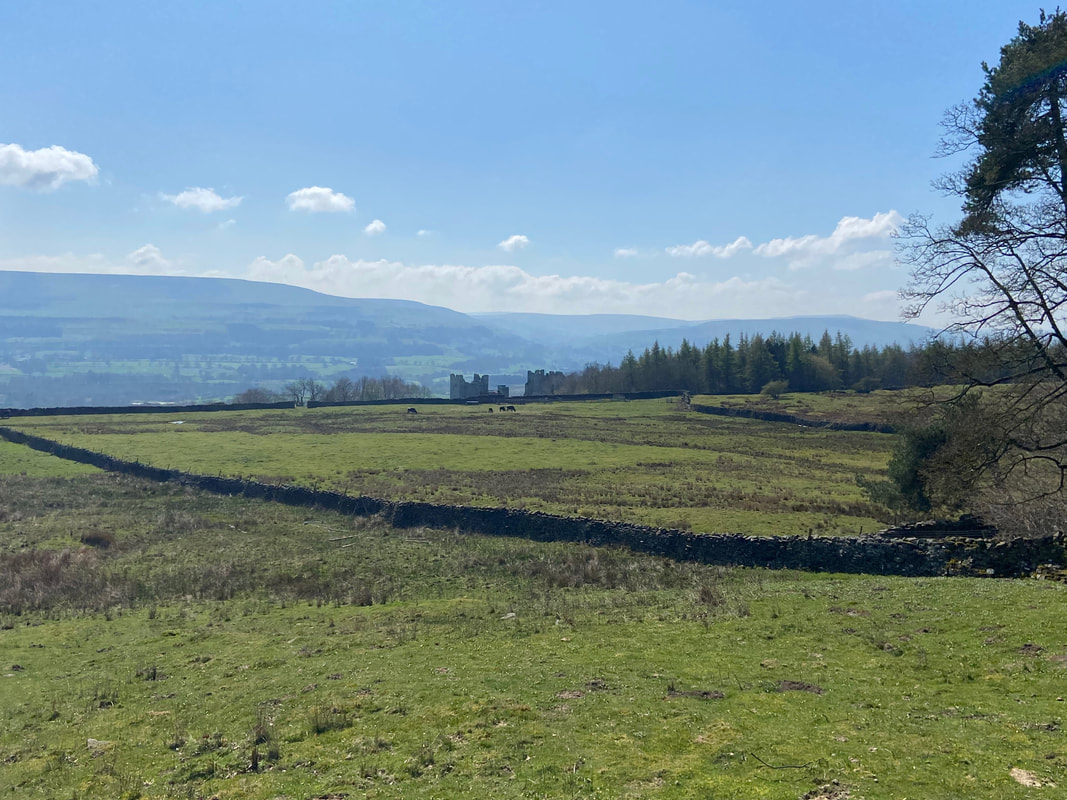
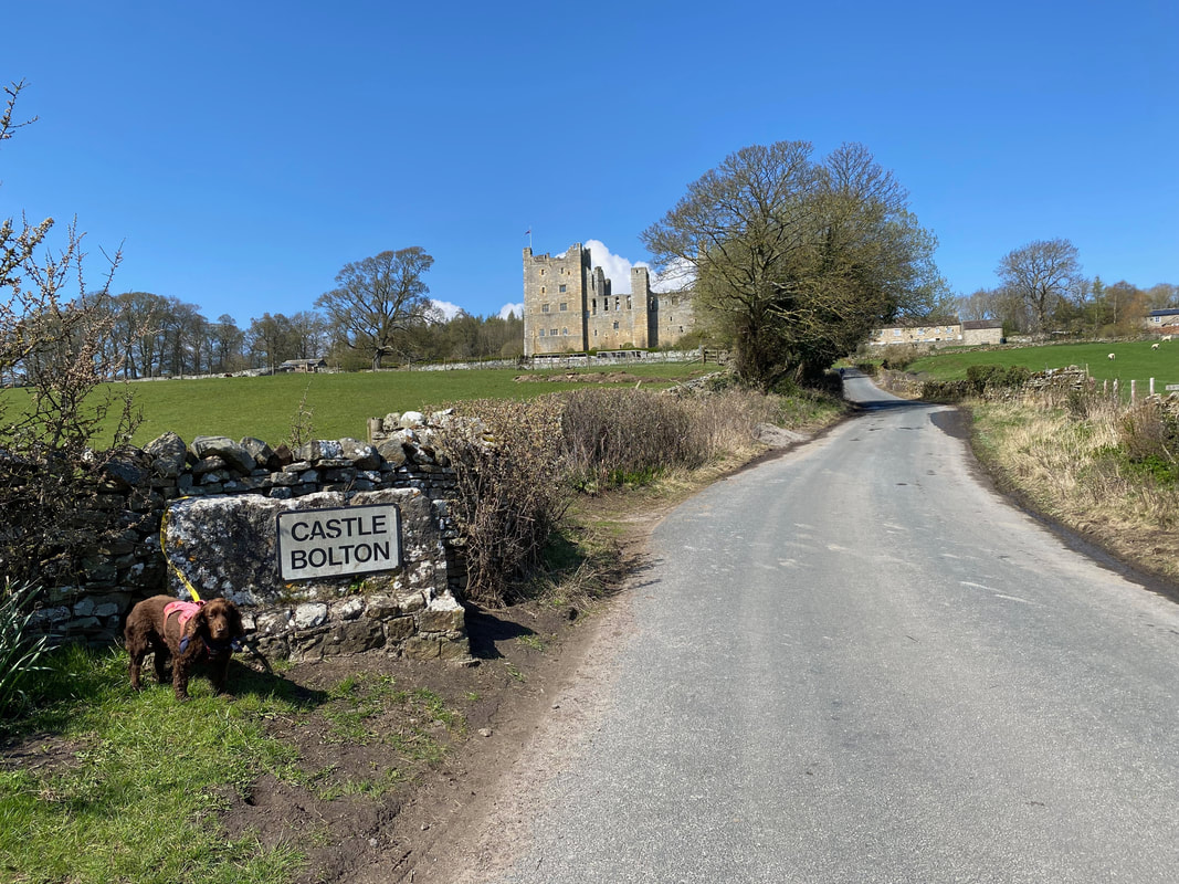
Our first sight of Bolton Castle in Castle Bolton
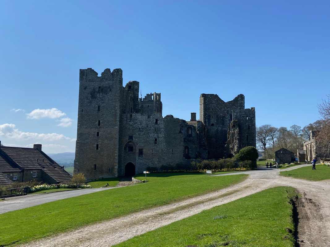
Bolton Castle
The castle was built by Sir Richard le Scrope, Lord Chancellor of England to Richard II. The licence to crennelate was granted and building commenced in 1379 and was completed in 1399.
The castle was built by Sir Richard le Scrope, Lord Chancellor of England to Richard II. The licence to crennelate was granted and building commenced in 1379 and was completed in 1399.
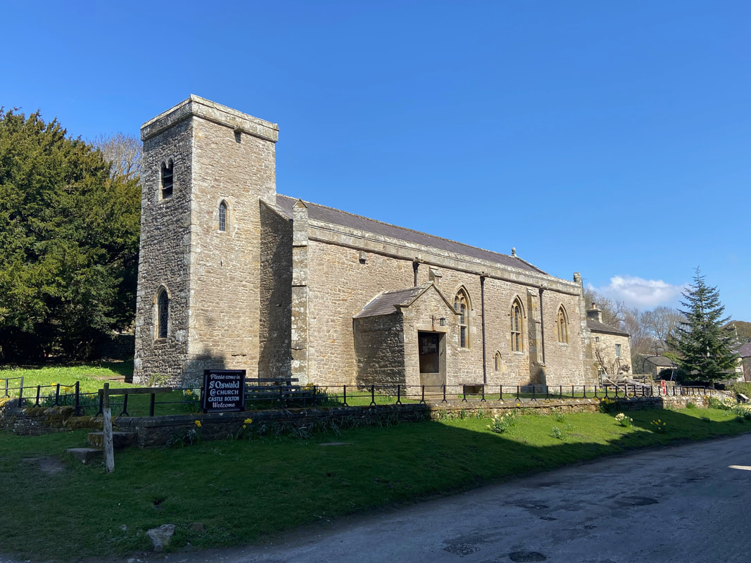
St Oswald's Church, Castle Bolton which dates from the 14th century
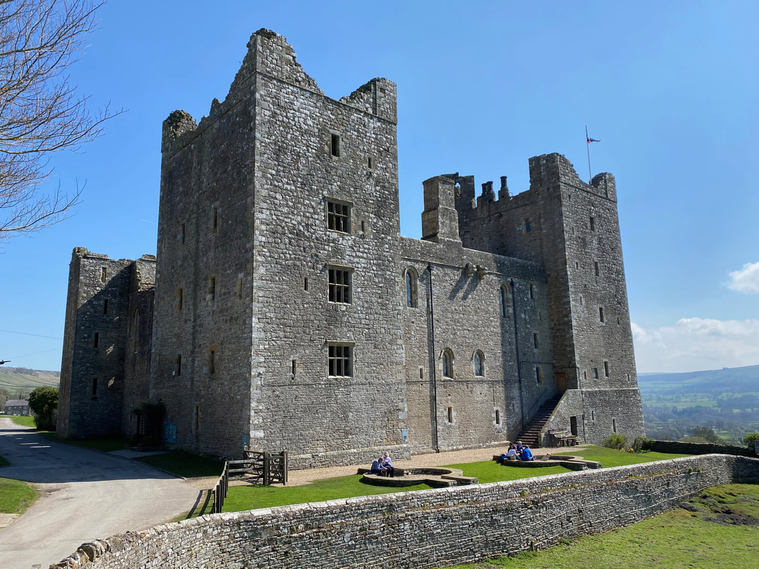
The western face of Bolton Castle
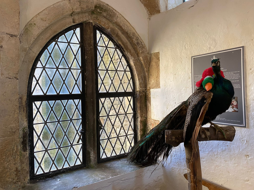
Bolton Castle's resident stuffed Peacock which the Duck found rather fetching
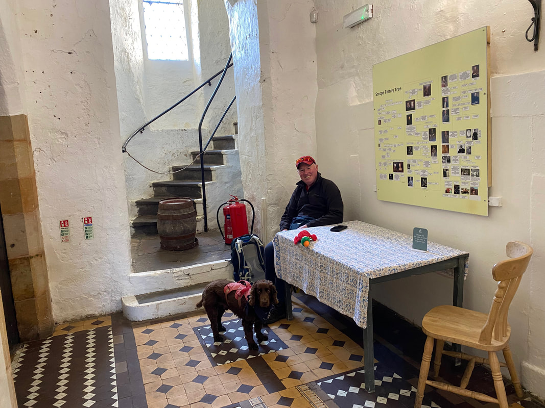
The cafe at Bolton Castle - we were sat at the dog friendly table stuck outside the main door..........
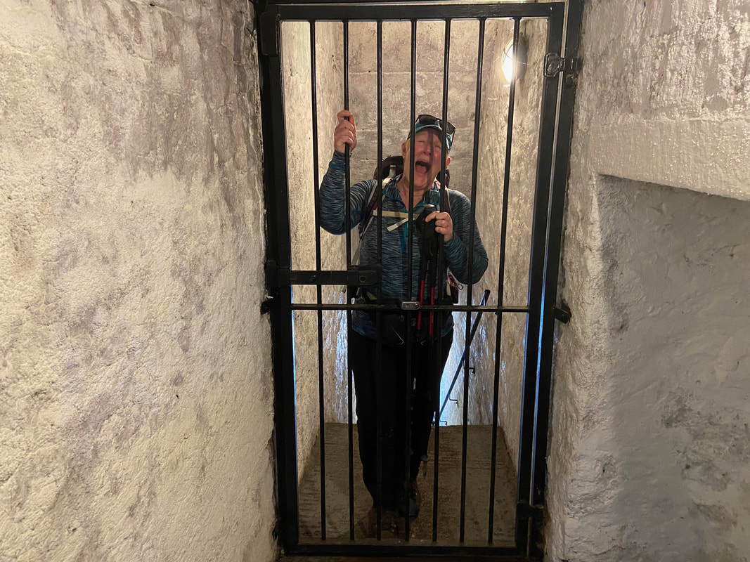
............ meanwhile Angie had upset the keeper of the castle and had got herself locked up
From the castle the route heads south down the lane to exit the village
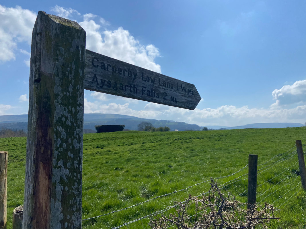
Not far to go now as we head along Thoresby Lane towards Aysgarth Falls
Approaching Hollins House
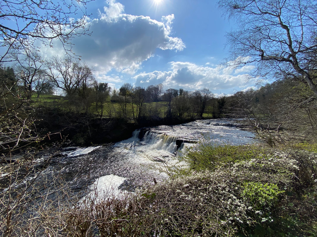
The Middle Force of Aysgarth Falls
Lower Force (Click Play to view)
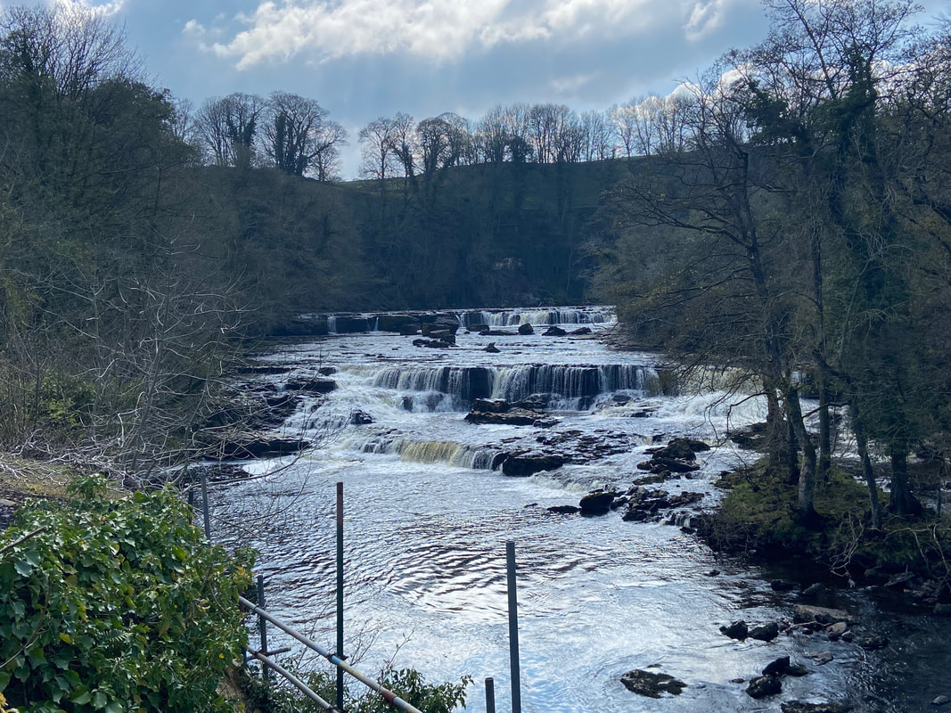
High Force at Aysgarth Falls
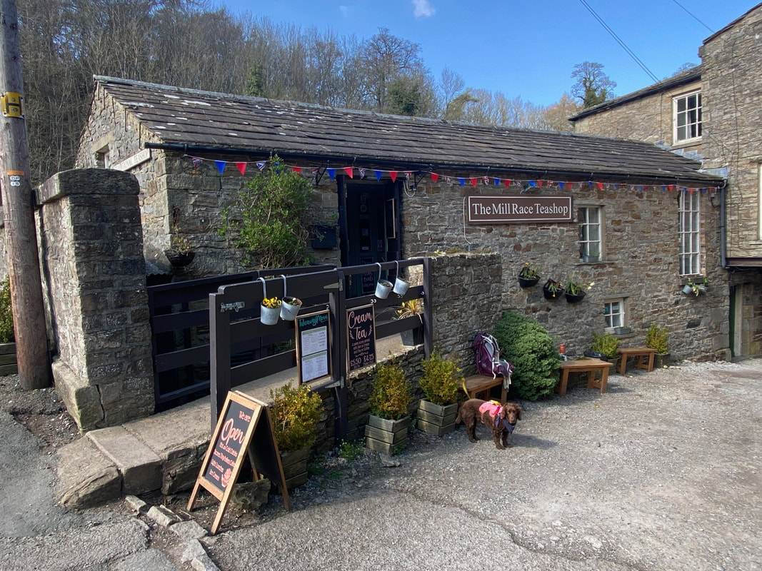
The Mill Race Teashop at Aysgarth Falls. Oh go on then - let's have an Ice Cream eh Fudge!
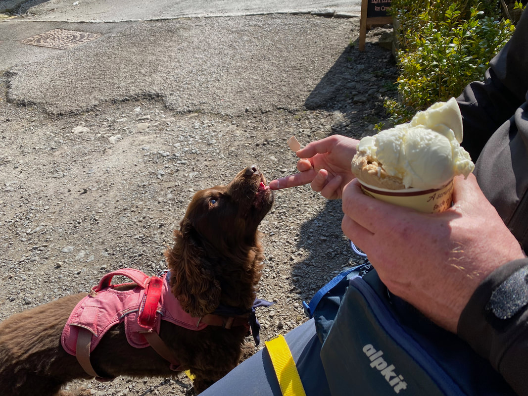
No doggy Ice Cream on offer unfortunately for Fudge therefore he had a tiny bit of mine.............
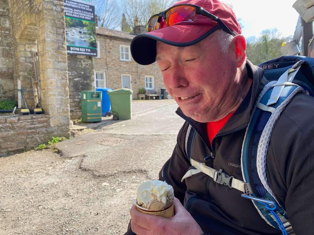
........ meanwhile I suffered from a quick bout of Brain Freeze
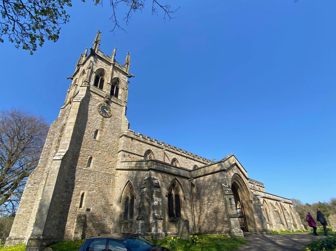
St Andrew's Church near Aysgarth Falls
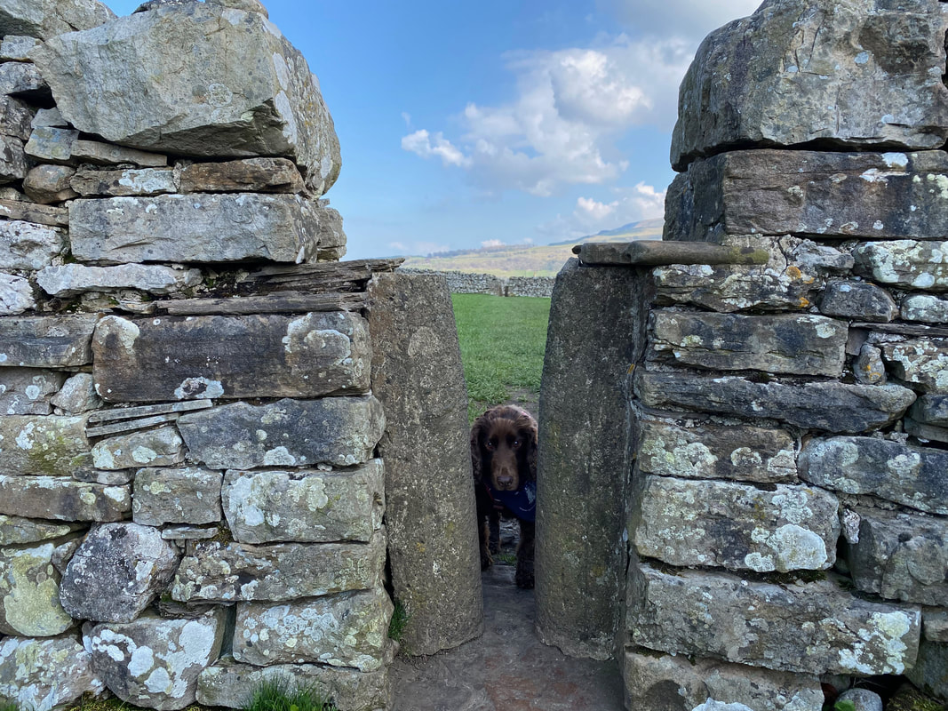
Come on Fudge - if I can get through it then I am sure you can
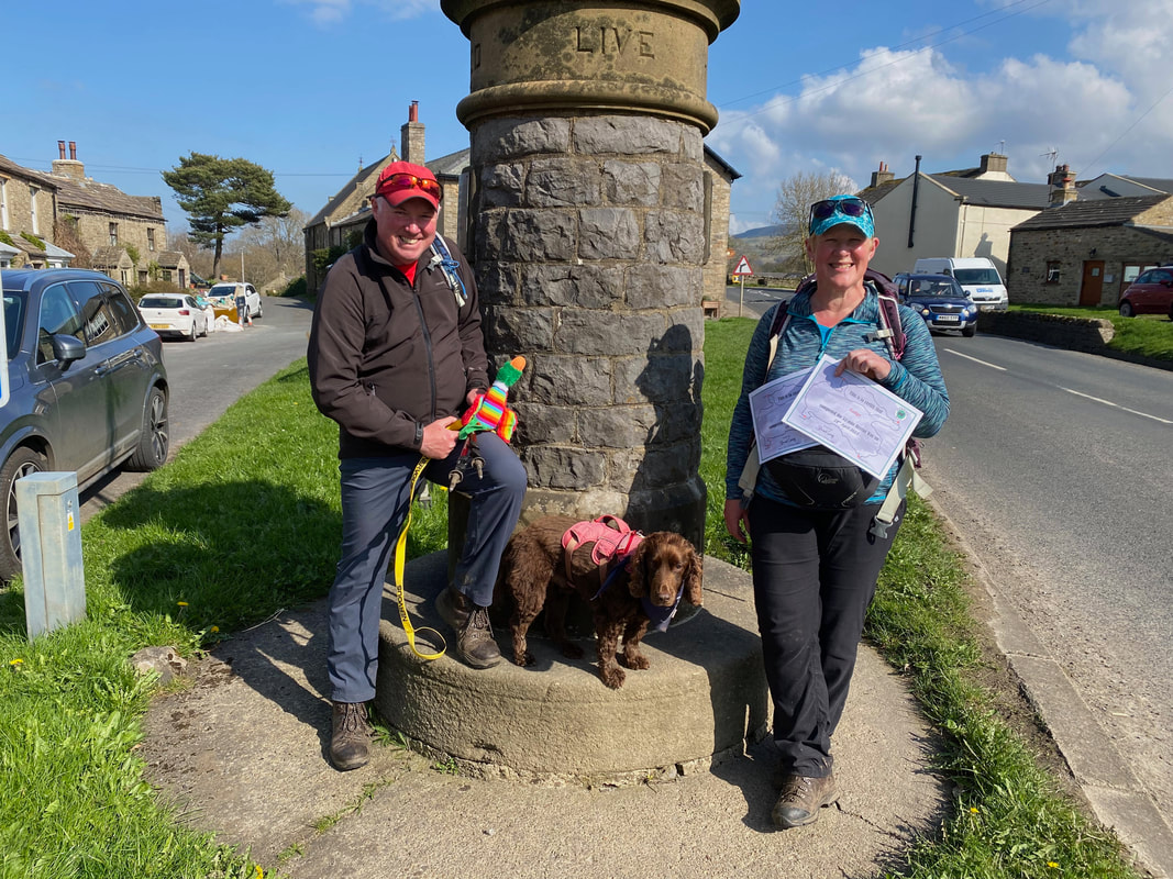
The finish point in Aysgarth at the end of The Herriot Way
A group photo at the finish complete with Certificates kindly provided by Jacqui & Chris at Butt House
GPX Files - if these are required then please use the Contact Form to let me know and I will gladly forward them on
| herriot_way_day_4_actual.gpx |
Day 4 Data
|
Mileage
Cumulative Mileage Time Total Ascent |
11 miles
48.8 miles 5hrs 40mins (4hrs 45mins actual walking) 1745ft (532m) |
