St Sunday Crag, Birks & Arnison Crag - Thursday 18 January 2024
Route
blah, blah
Parking
blah, blah
Mileage
miles
Terrain
blah, blah
Weather
blah, blah
Time Taken
hrs
Total Ascent
ft (m)
Wainwrights
blah, blah
Map
blah, blah
Walkers
Dave, Angie & Fudge
blah, blah
Parking
blah, blah
Mileage
miles
Terrain
blah, blah
Weather
blah, blah
Time Taken
hrs
Total Ascent
ft (m)
Wainwrights
blah, blah
Map
blah, blah
Walkers
Dave, Angie & Fudge
|
GPX File
|
| ||
If the above GPX file fails to download or presents itself as an XML file once downloaded then please feel free to contact me and I will send you the GPX file via e-mail.
Route Map
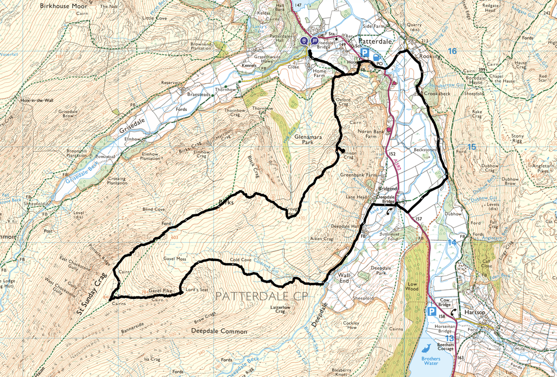
Map
1
2

3
4
5
6
7
8
9
10
11
12
13
14
15
16
17
18
19
20
21
22
23
24
25
26
27
28
29
30
31
32
33
34
35
36
37
38
39
40
41
42
43
44
45
46
47
48
49
50