Lindisfarne (Holy Island) - Thursday 10 November 2022
Route
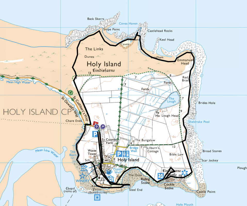
Chare Ends Car Park - Village Centre - The Ouse - Lindisfarne Castle - Castle Point - Emmanuel Head - Castlehead Rocks - Snipe Point - Chare Ends - Lindisfarne Priory - The Heugh - Osborne Fort - Village Centre - Chare Ends Car Park
Parking
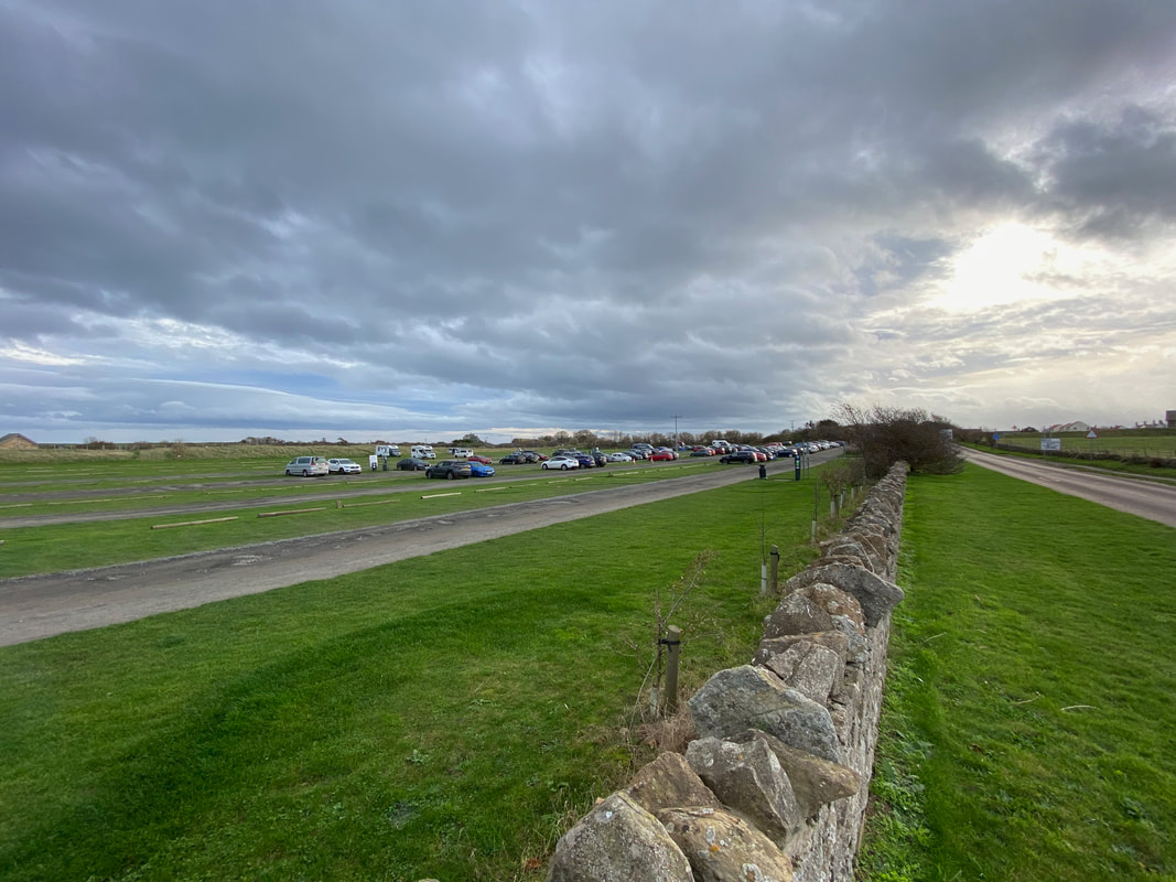
Holy Island Car Park (Charge) at Chare Ends. The Grid Reference is NU 12587 42421 and the nearest postcode is TD15 2SE. Before starting the walk you are strongly advised to consult the tide tables for arrival and departure off the island. The link for the Tide Timetable can be found here.
Mileage
7 miles
Terrain
Coastal paths with some road walking on quiet lanes.
Weather
Sunny with some overcast spells.
Time Taken
4hrs
Total Ascent
272ft (83m)
Map
OS340 - Holy Island & Bamburgh
Walkers
Dave, Angie & Fudge
|
GPX File
|
| ||
If the above GPX file fails to download or presents itself as an XML file once downloaded then please feel free to contact me and I will send you the GPX file via e-mail.
Route Map
1
2
3
4
5
6
7
8
9
10
11
12
13
14
15
16
17
18
19
20
21
22
23
24
25
26
27
28
29
30
31
32
33
34
35
36
37
38
39
40
41
42
43
44
45
46
47
48
49
50


