The Cheviot - Wednesday 11 June 2014
Route
Hethpool - College Valley - Mounthooly - Auchope Cairn - Cairn Hill - The Cheviot - Scald Hill - Broadhope Hill - Coldburn - College Valley - Hethpool
Parking
Hethpool (Free) - Grid Ref NT894281
Mileage
18 miles - in order to shorten the walk there is parking available at Cuddystone Hall - Grid Ref NT888252. However a permit is required to access the valley past the Car Park at Hethpool. Details can be found here
Terrain
Some road walking at either end of the walk on the College Valley road - other than that good mountain paths although there is a boggy section on Scald Hill but nothing too onerous.
Weather
Warm & cloudy with good visibility.
Time Taken
8hrs 20mins
Total Ascent
3677ft (1120m)
Map
OL16 - The Cheviot Hills (Jedburgh & Wooler)
|
GPX File
|
| ||
If the above GPX file fails to download or presents itself as an XML file once downloaded then please feel free to contact me and I will send you the GPX file via e-mail.
Walk Description


We had been wanting to walk the College Valley for a while and therefore had planned a route where we could also get up on to The Pennine Way and get over to The Cheviot too. We were staying near Wooler therefore we started the walk from nearby Hethpool where there is plenty of free parking on the edge of the village.
There is quite a bit of road walking at the start of the walk but this is on a very quiet track - we saw a handful of cars all day and anyway the views all around make up for this. Passing Mounthooly Youth Hostel, the road ends and tarmac is replaced by springy turf as the route starts to ascend up on to the Auchope ridge with good views over to The Schil and West Hill. Reaching the ridge you join the Pennine Way and the Auchope refuge hut soon comes into view. There is now a steep ascent to gain Auchope Cairn from where there are good views over to The Cheviot.
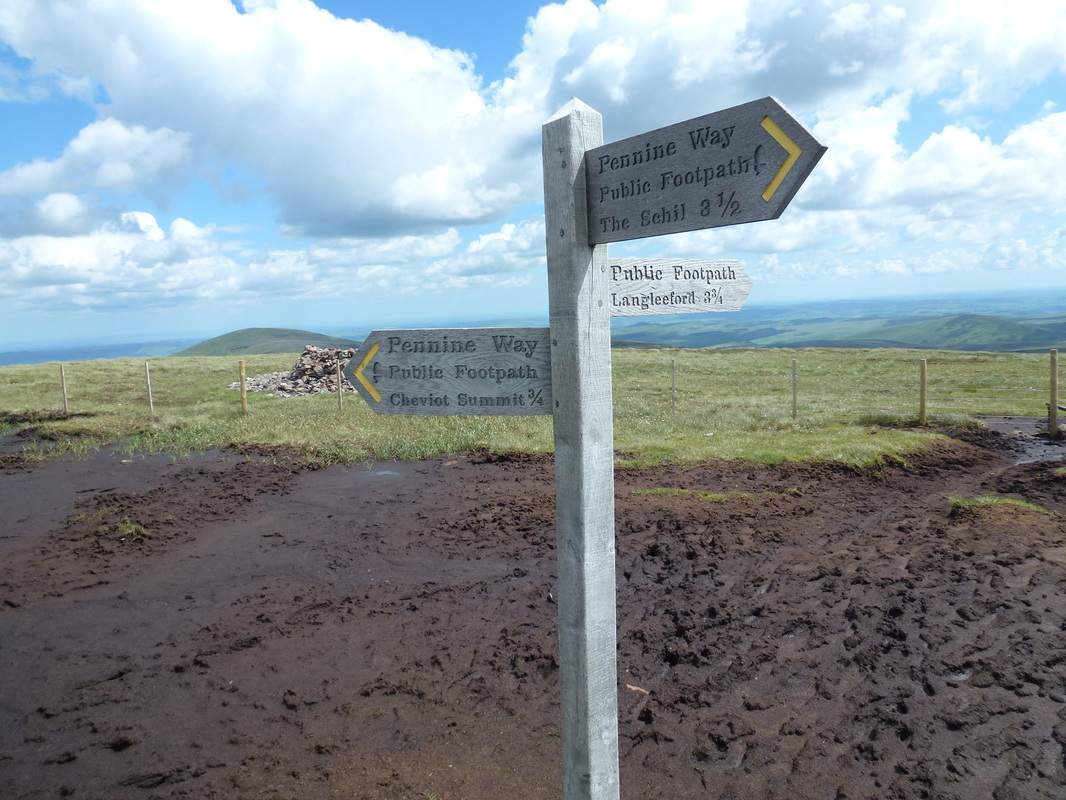
The path from Auchope Cairn is now flagged and crosses very boggy ground, particularly at Cairn Hill where the flagstones really come into their own. After another mile or so The Cheviot is reached and it is a shame to say it but the summit is a featureless place, let down by its breeze blocked Trig Point. If we were Pennine Way Walkers and had made the mile and a half detour to visit here we would feel a bit let down but after all a walk is still a walk at the end of the day.
Leaving The Cheviot the route heads down over intermittent boggy ground to Scald Hill and on to Broadhope Hill before joining a good but very long path back to Cuddystone Hall & the Memorial in College Valley. The road is now followed all the way back to the start at Hethpool. Whilst this is a long walk, the feeling of solitude both in the valley and up on the ridge is fantastic and it was good experience for our Pennine Way attempt next year.
There is quite a bit of road walking at the start of the walk but this is on a very quiet track - we saw a handful of cars all day and anyway the views all around make up for this. Passing Mounthooly Youth Hostel, the road ends and tarmac is replaced by springy turf as the route starts to ascend up on to the Auchope ridge with good views over to The Schil and West Hill. Reaching the ridge you join the Pennine Way and the Auchope refuge hut soon comes into view. There is now a steep ascent to gain Auchope Cairn from where there are good views over to The Cheviot.
The path from Auchope Cairn is now flagged and crosses very boggy ground, particularly at Cairn Hill where the flagstones really come into their own. After another mile or so The Cheviot is reached and it is a shame to say it but the summit is a featureless place, let down by its breeze blocked Trig Point. If we were Pennine Way Walkers and had made the mile and a half detour to visit here we would feel a bit let down but after all a walk is still a walk at the end of the day.
Leaving The Cheviot the route heads down over intermittent boggy ground to Scald Hill and on to Broadhope Hill before joining a good but very long path back to Cuddystone Hall & the Memorial in College Valley. The road is now followed all the way back to the start at Hethpool. Whilst this is a long walk, the feeling of solitude both in the valley and up on the ridge is fantastic and it was good experience for our Pennine Way attempt next year.
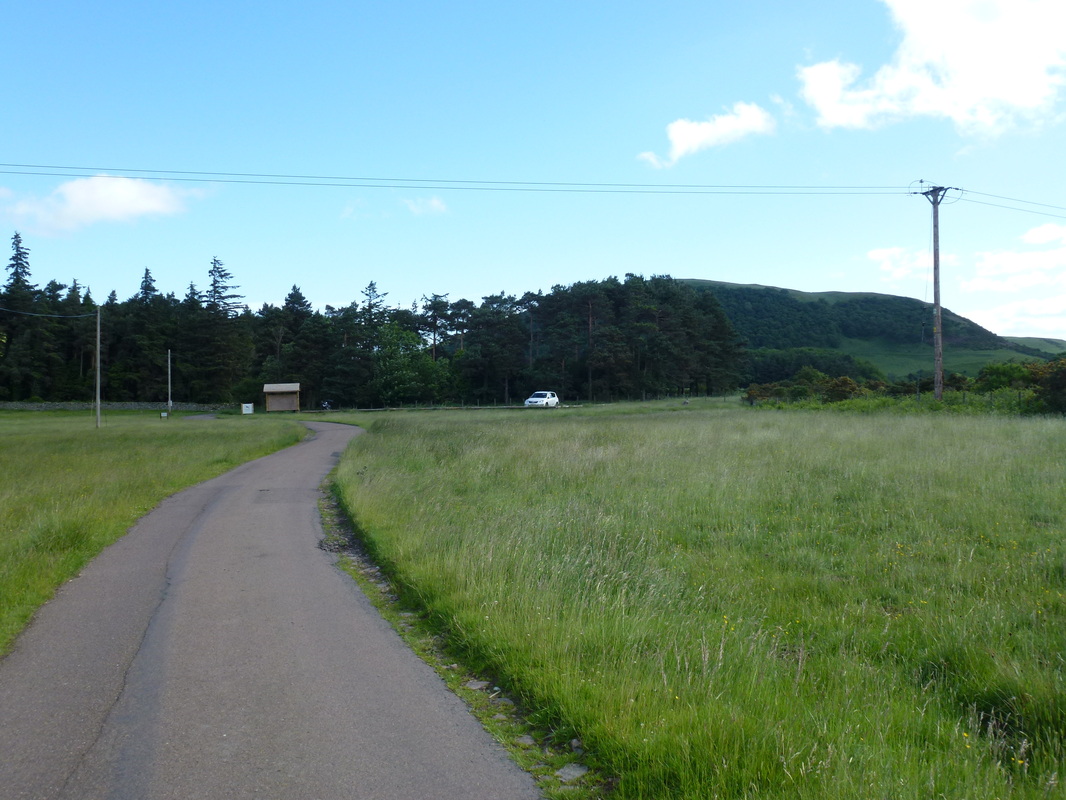
The Car Park at Hethpool - the starting point for this walk
The road leaving the Car Park heading up College Valley
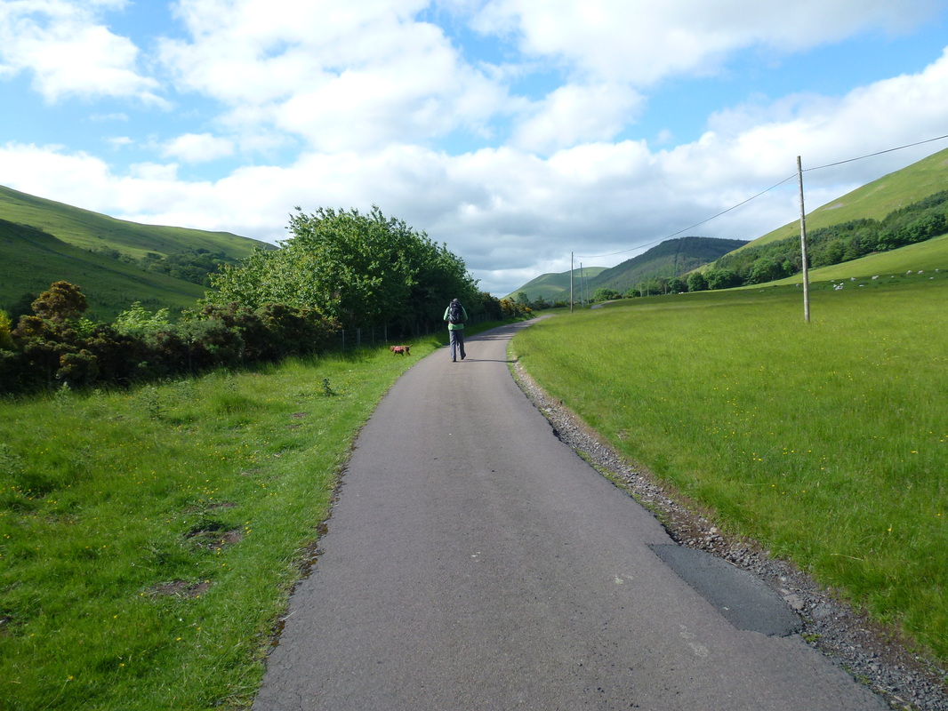
The excellent track continues through the College Valley
If you do not fancy the long road walk, cars can be parked here at Cuddystone Hall (see details above reference car permits)
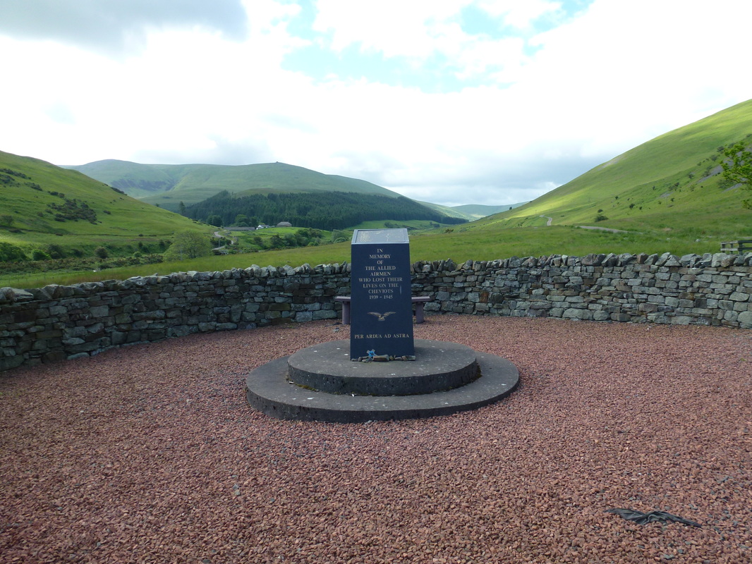
The Memorial over the road from Cuddystone Hall
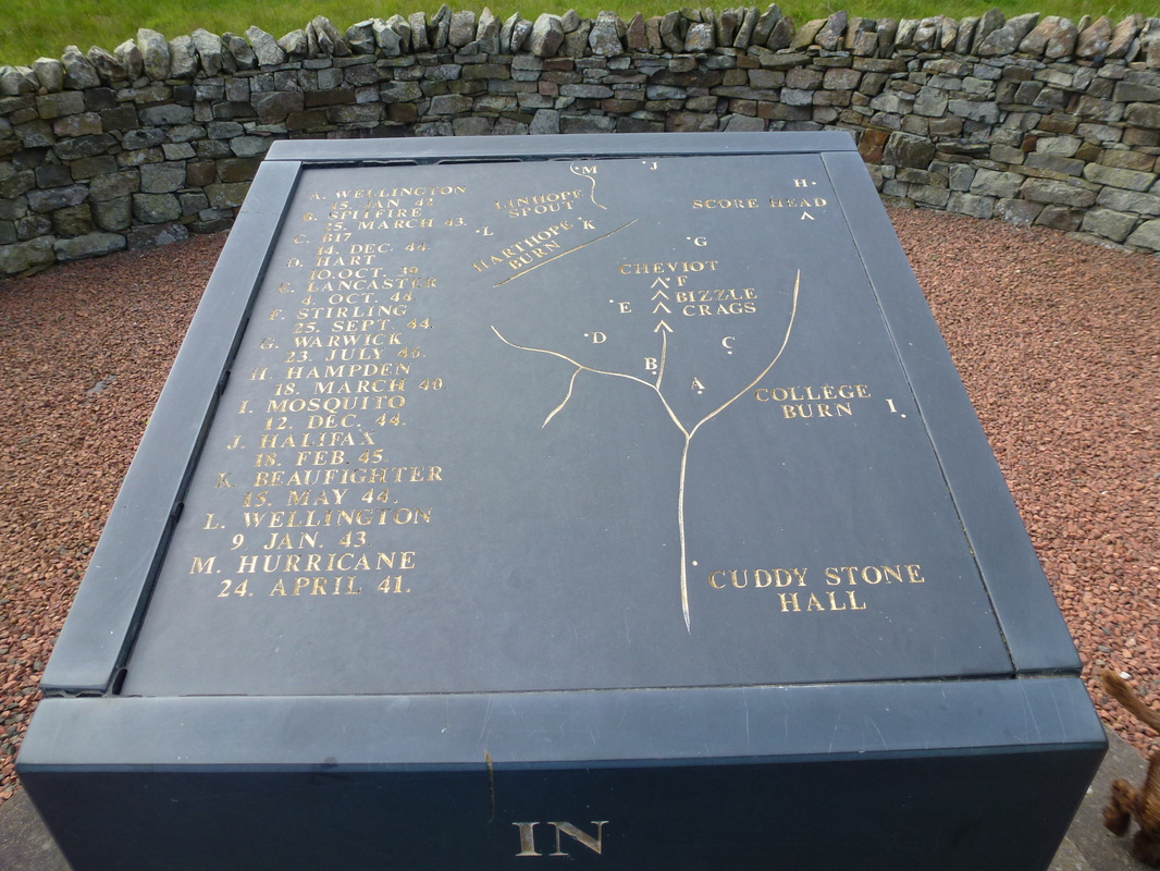
In such a small area there were at least 13 crash sites in The Cheviots
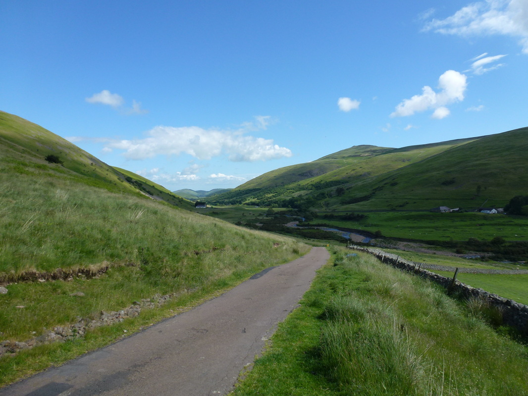
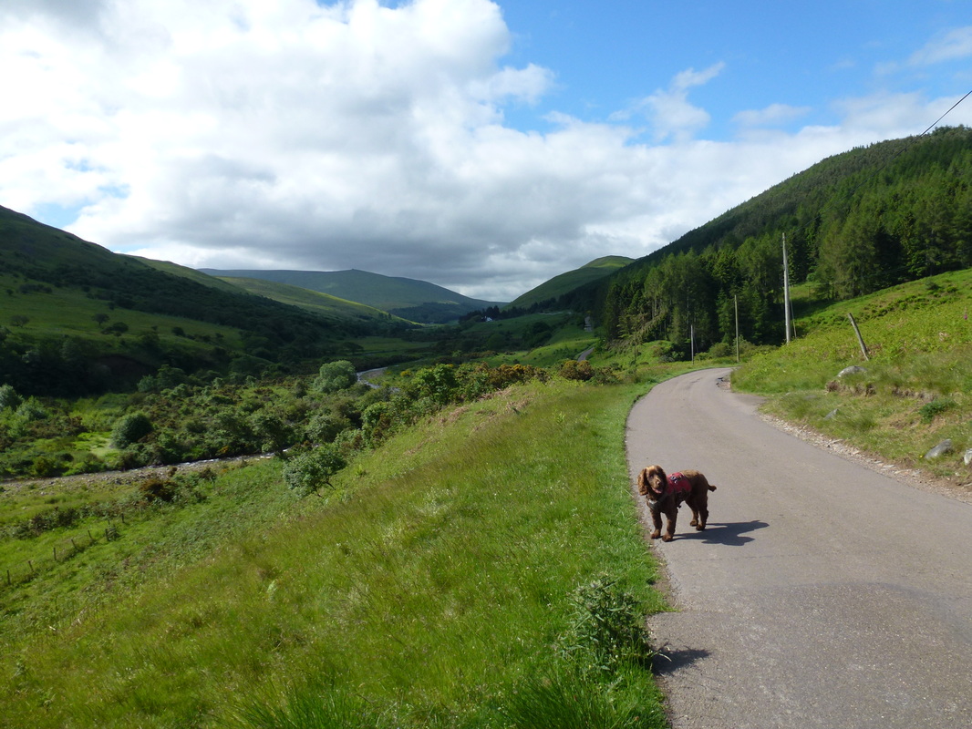
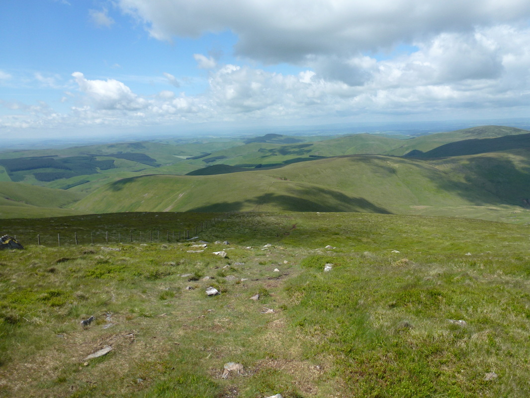
Looking back down College Valley
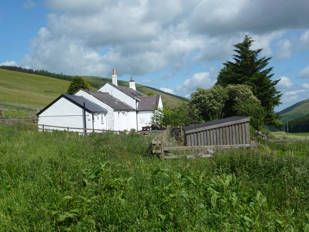
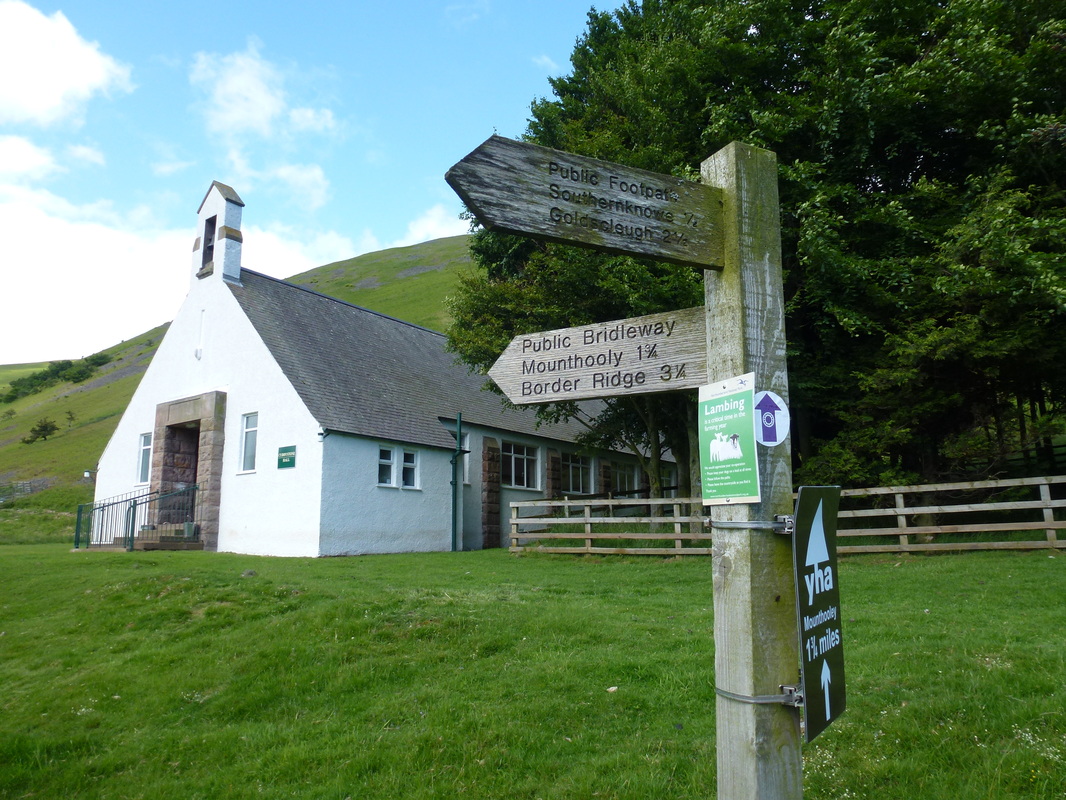
Mounthooly Youth Hostel
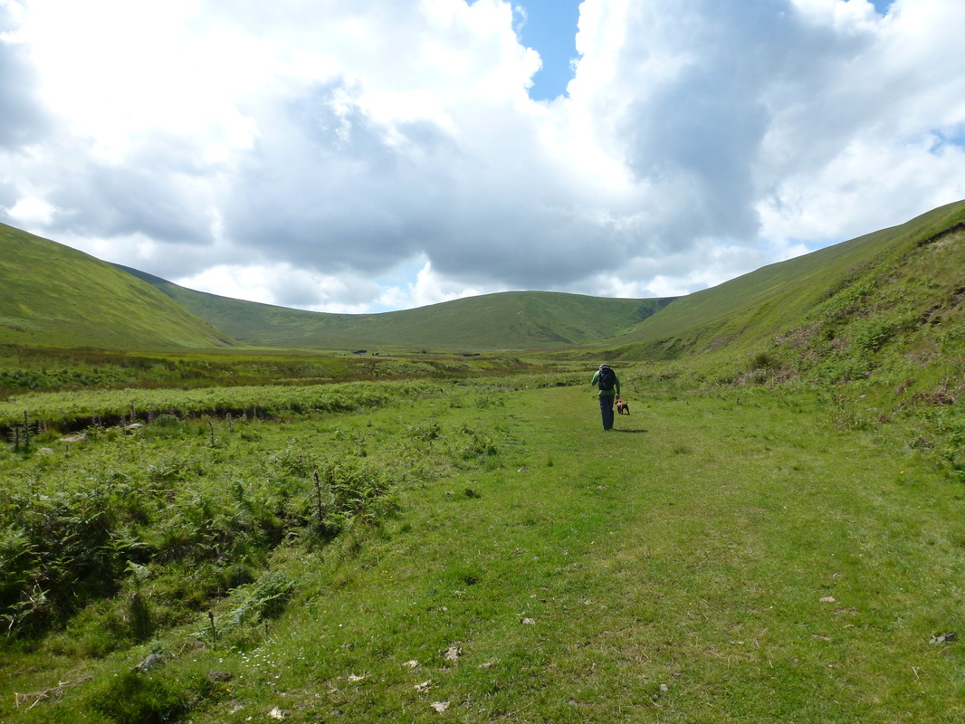
The road track ends at Mounthooly and we were on to springy turf as we headed towards Auchope
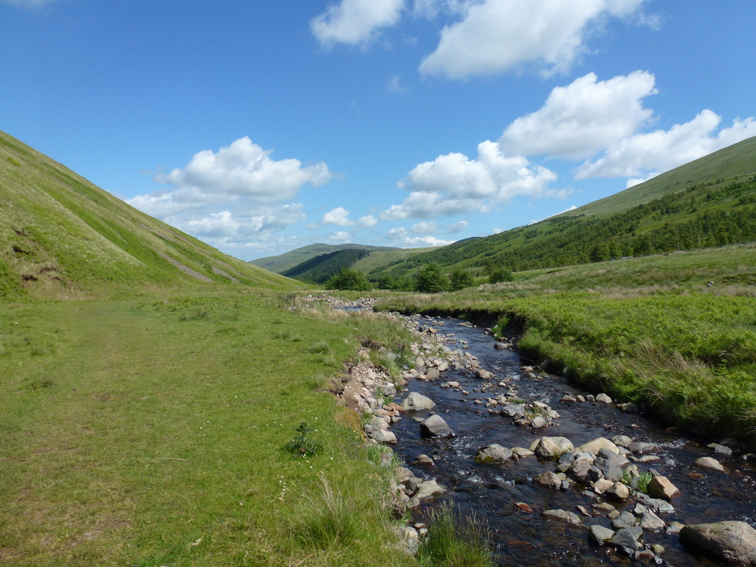
College Burn accompanied us virtually all the way to Auchope.......
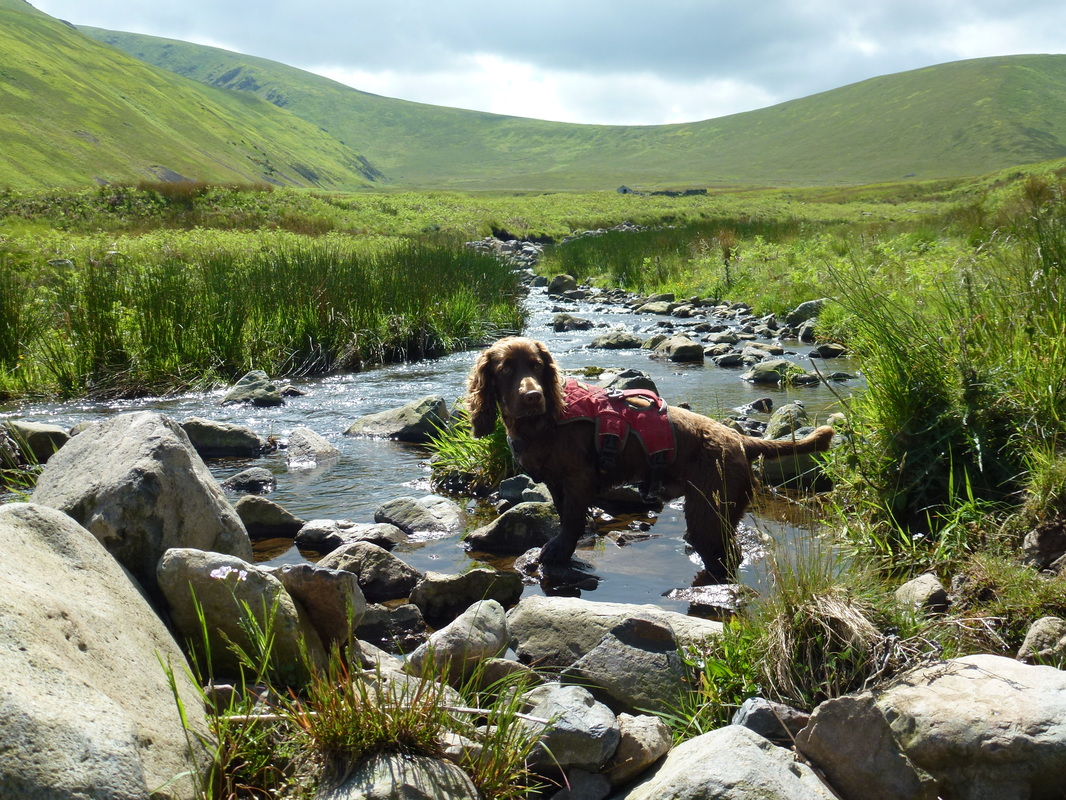
...... which Fudge really enjoyed. The ridge up to Auchope can be seen behind him
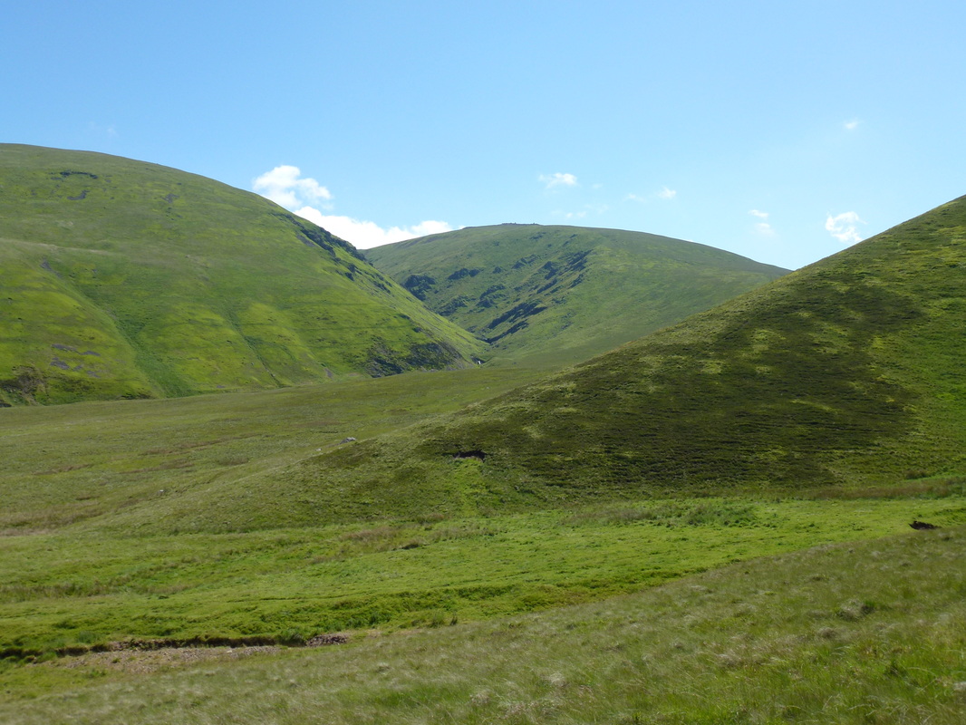
Auchope Cairn now in view - White Hill is to the left of the deep valley of Hen Hole
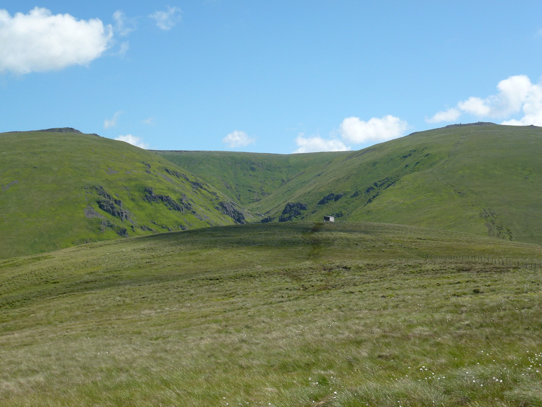
Now on The Pennine Way - refuge hut and Auchope Cairn ahead to the right
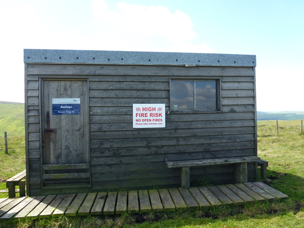
The refuge hut at Auchope - used by many a Pennine Way walker
The gradual ascent to Auchope Cairn from the refuge hut
The Schil
Looking back down the ascent from the refuge hut - the path over to The Schil heads right
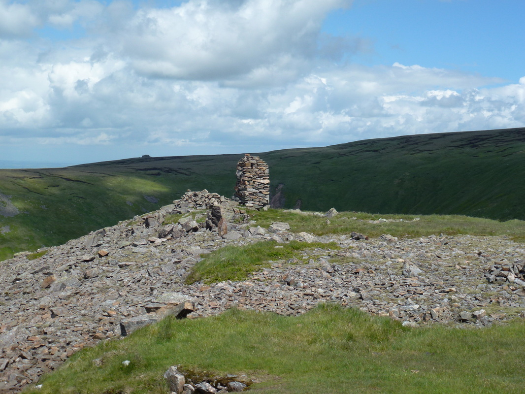
One of the two Cairns on Auchope
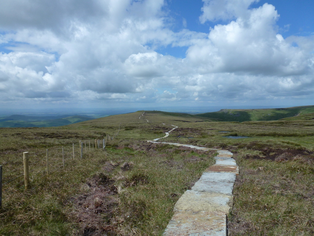
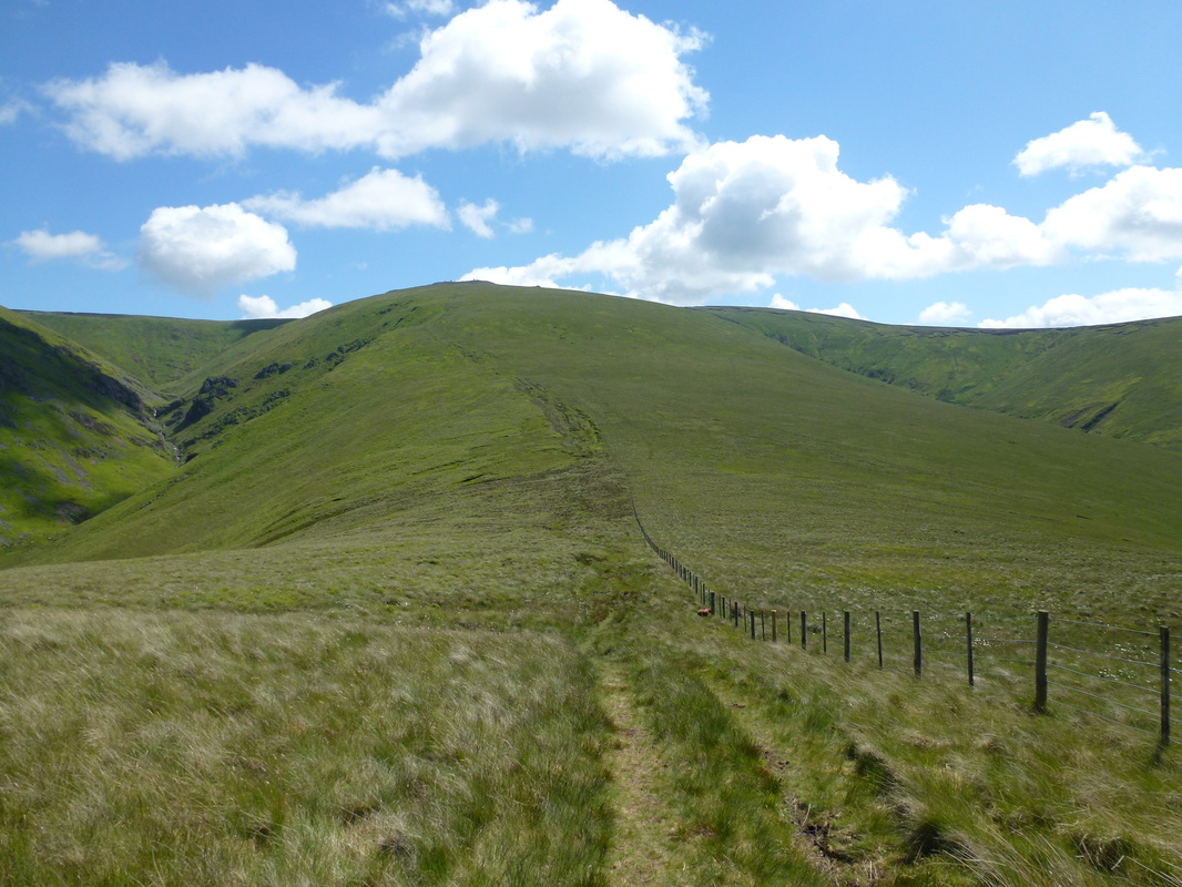
The well flagged path of the Pennine Way was most welcome - looking back to Auchope Cairn
It was a bit boggy at Cairn Hill - thankfully the flagged path saved our boots........
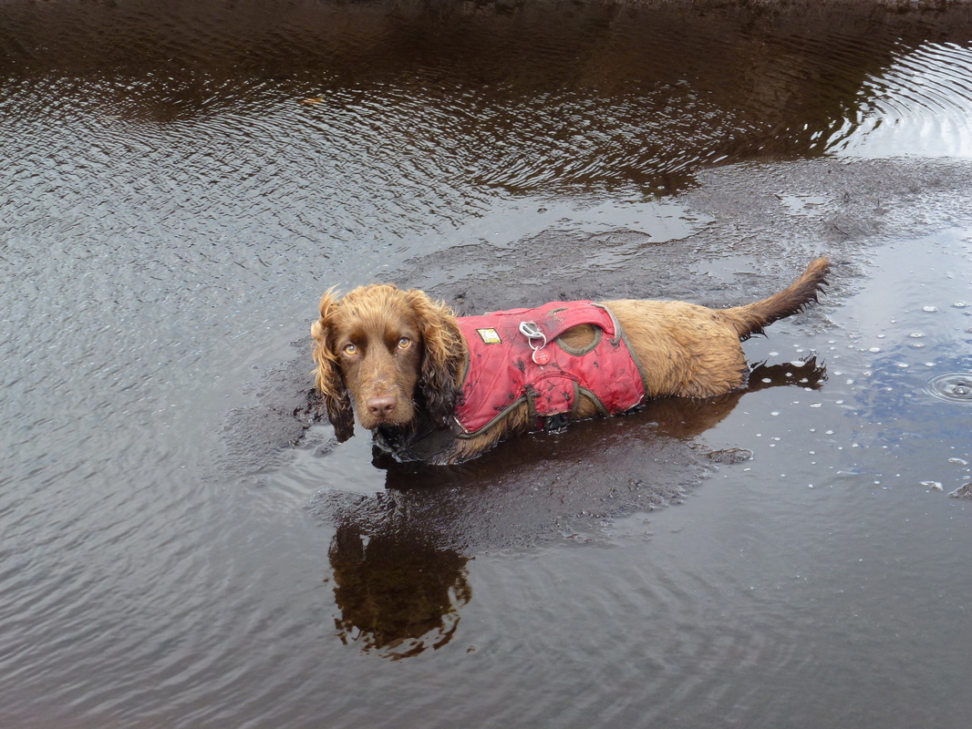
..... but not Fudge
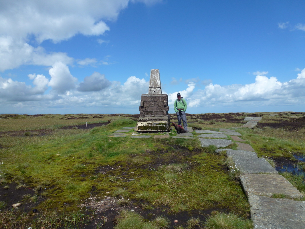
The summit of The Cheviot - not the greatest hill we have ever climbed for views. The sterile breeze blocks underneath the Trig say it all really.
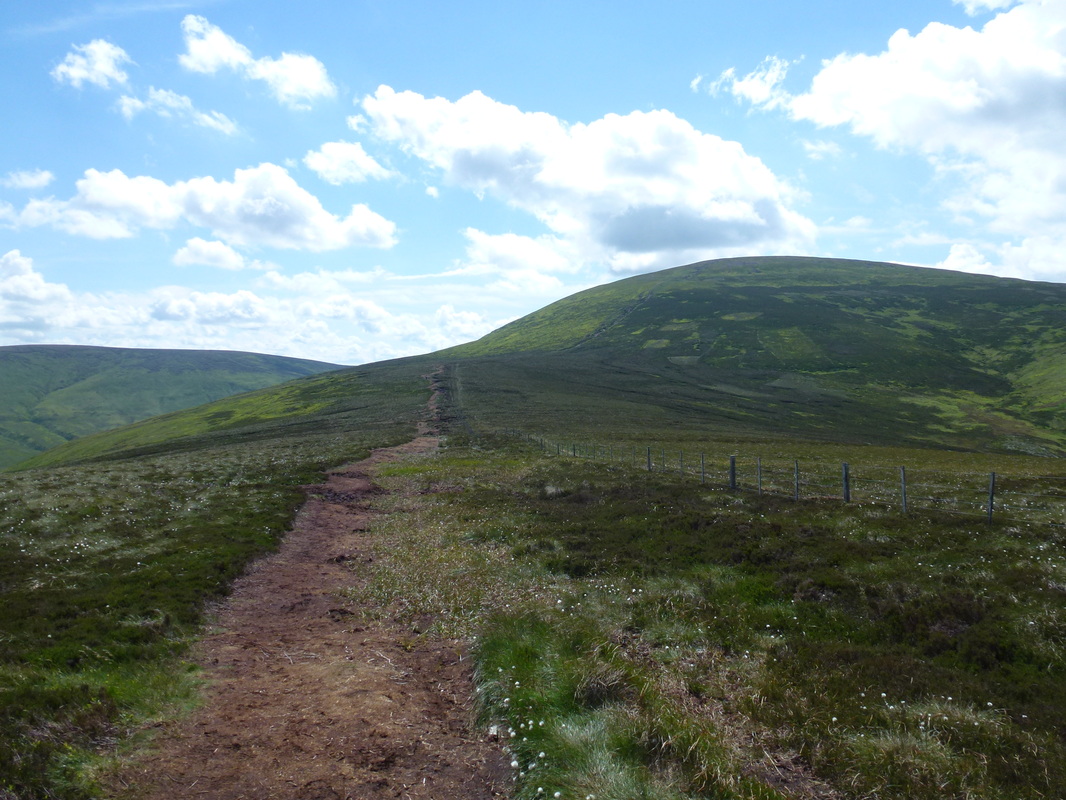
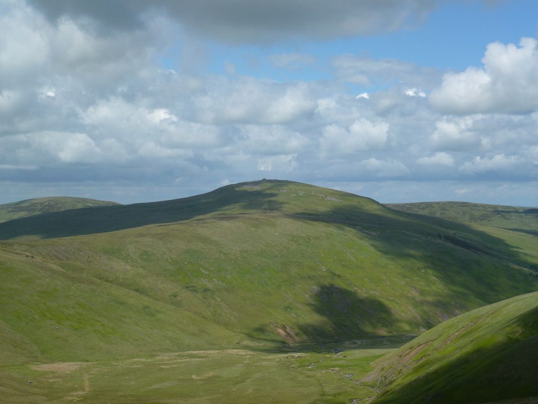
Looking to the whale back of The Cheviot from near Scald Hill