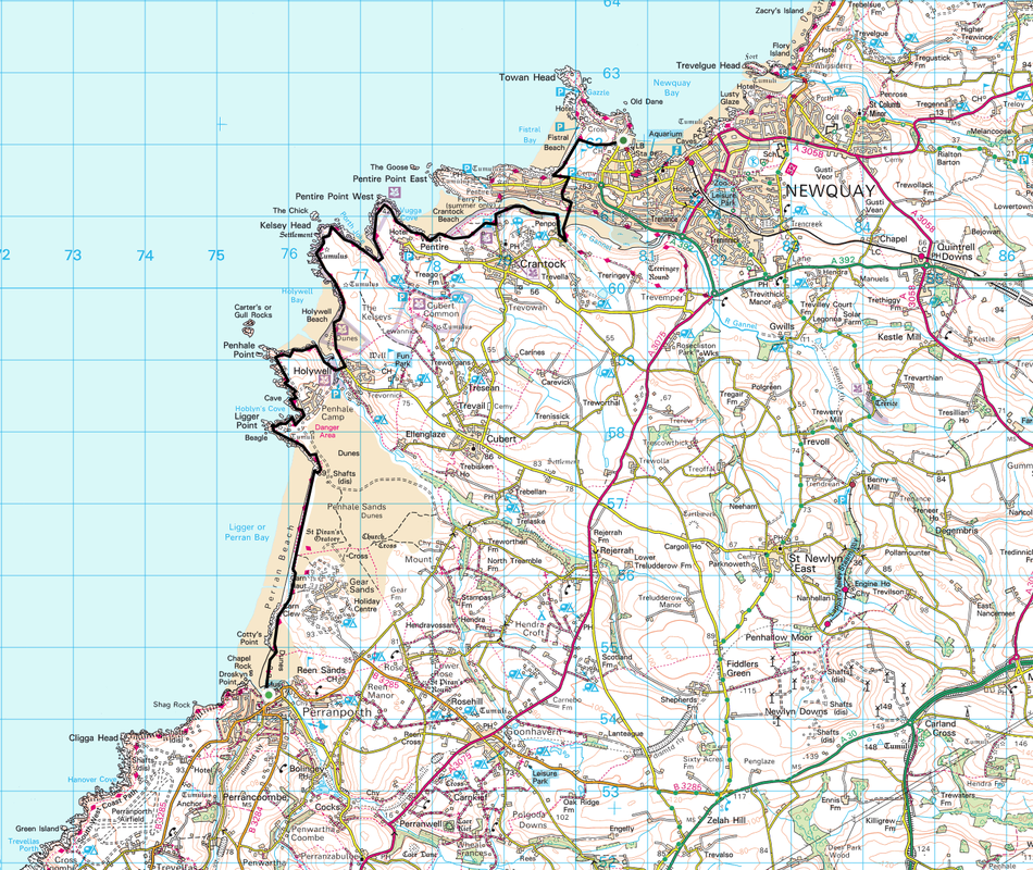
Perranporth to Newquay - Saturday 11 February 2012
Route
Perranporth - Penhale - Holywell - Crantock - Newquay
Parking
Good transport links to Perranporth from Newquay & vice versa
Mileage
10.7 miles
Terrain
Waymarked coastal paths
Weather
Sunny with fresh sea breezes
Time Taken
4hrs 30mins
Total Ascent
1210ft (369m)
Map
OS 104 - Redruth & St Agnes
Perranporth - Penhale - Holywell - Crantock - Newquay
Parking
Good transport links to Perranporth from Newquay & vice versa
Mileage
10.7 miles
Terrain
Waymarked coastal paths
Weather
Sunny with fresh sea breezes
Time Taken
4hrs 30mins
Total Ascent
1210ft (369m)
Map
OS 104 - Redruth & St Agnes
|
GPX File
|
| ||
If the above GPX file fails to download or presents itself as an XML file once downloaded then please feel free to contact me and I will send you the GPX file via e-mail.
Walk Description
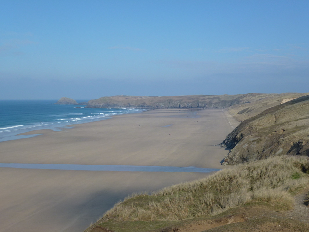
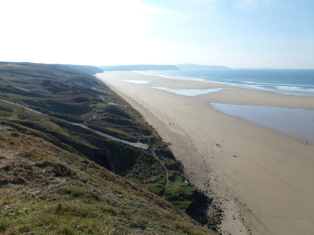
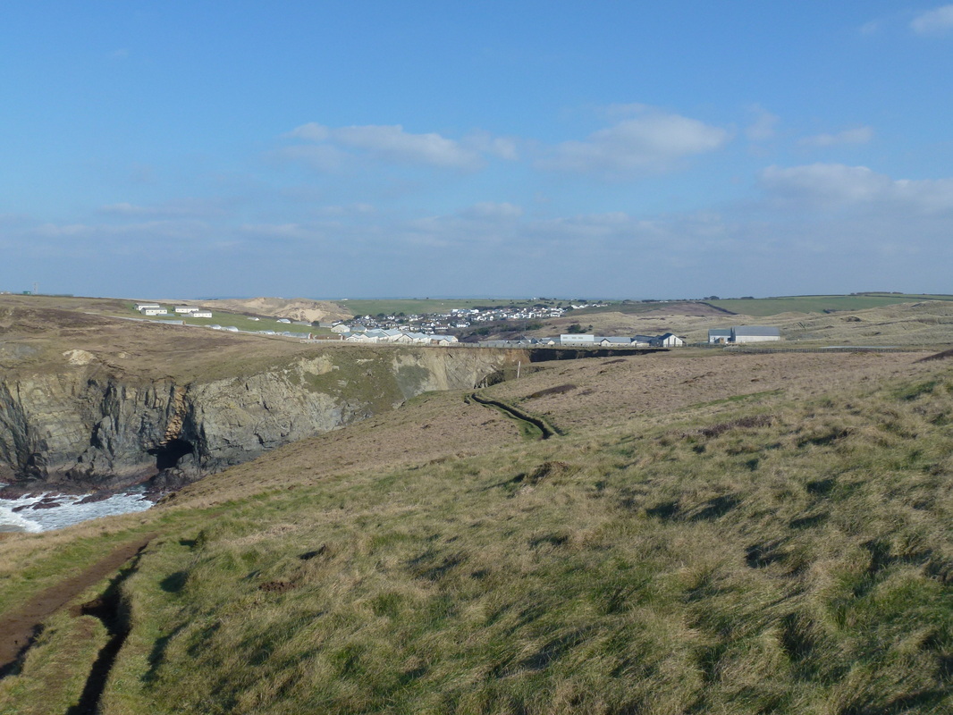
This section of the South West Coast Path was undertaken by me whilst I was in Newquay undertaking a MOD Resettlement Course. There is a good bus service from Newquay out to Perranporth which drops you off right in the centre of the village. It was a bright sunny day and the walk took me out along Perran Bay to Ligger Point where the path meanders its way along the Coast Path to Penhale Point and then down to Holywell where there are pubs and teashops. From Holywell the path continues along the coast and then comes inland to the beautiful beach at Crantock before travelling up the estuary of The Gannel where there is a footbridge taking you into the centre of Newquay via the Golf Course. This is a lovely walk and I saw few people on my travels until arriving in Newquay.
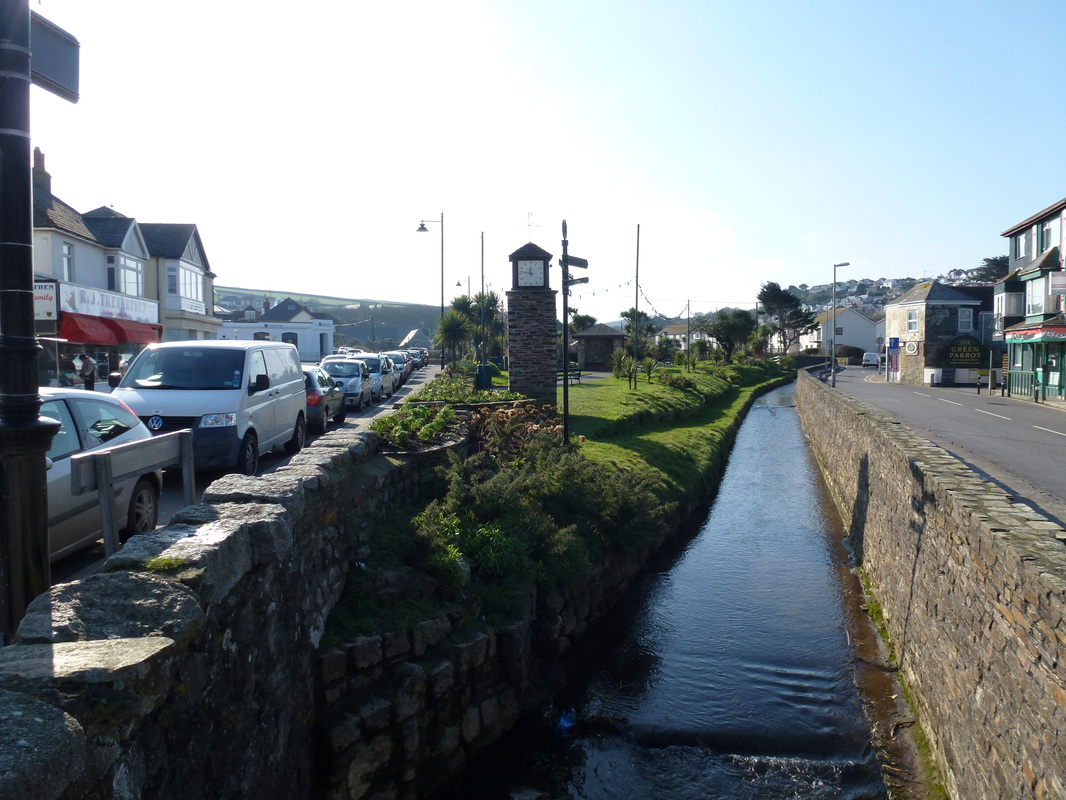
Perranporth
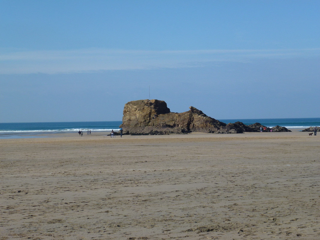
Chapel Rock, Perran Beach
Looking back to Perranporth
Ligger Point
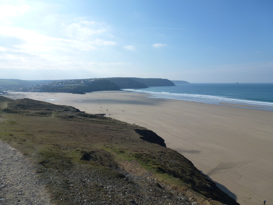
Perran Beach
Penhale Camp and Holywell
Penhale Point
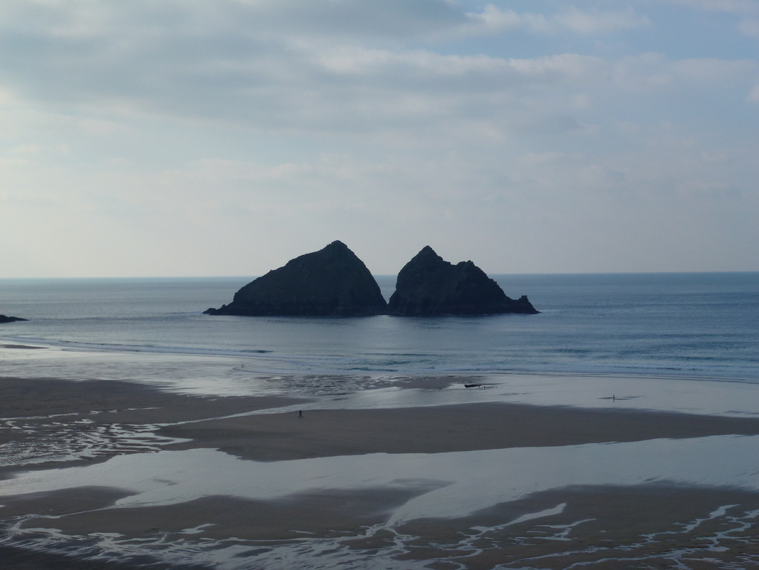
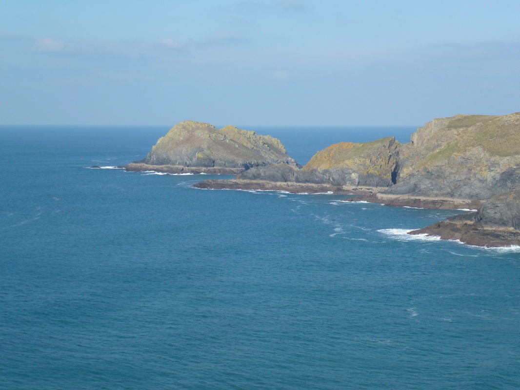
Gull Rocks off Holywell Beach
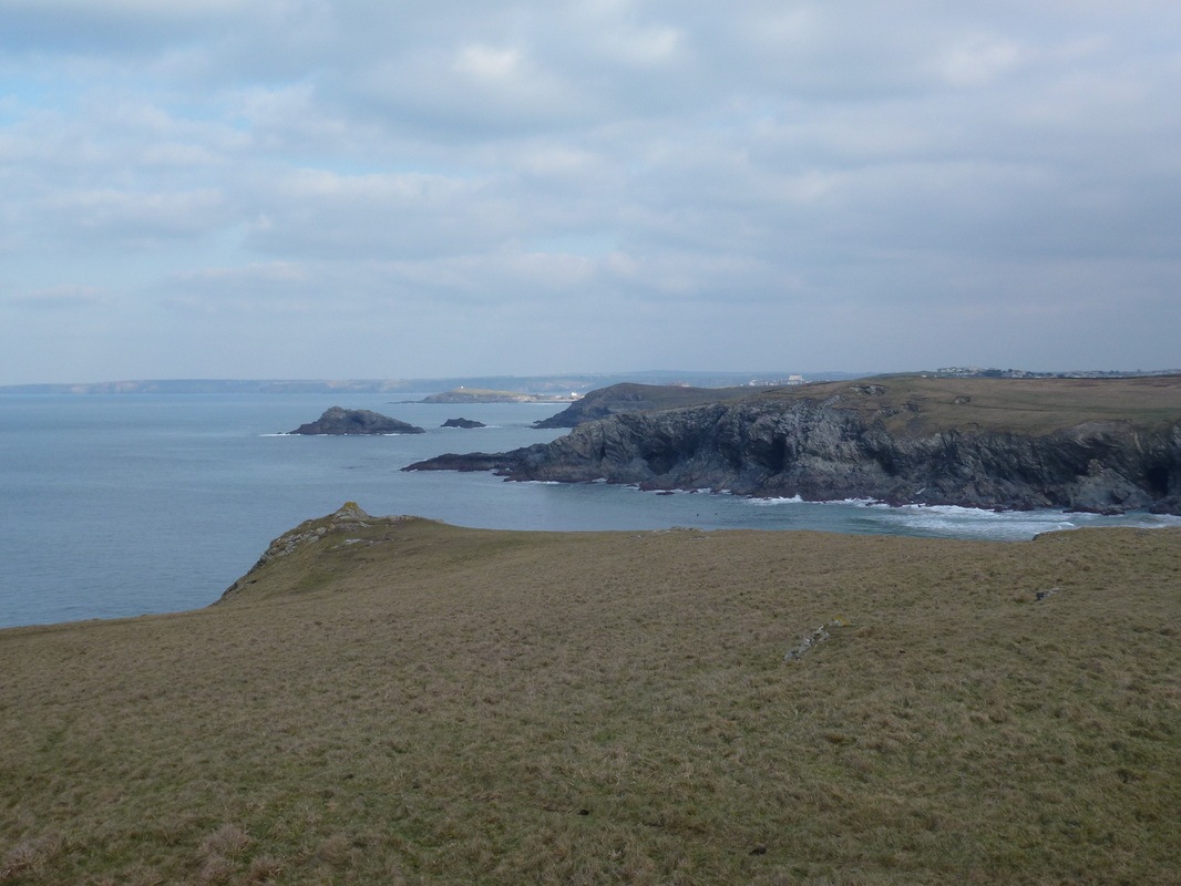
The Chick Rock, Kelsey Head. Newquay is in the distance
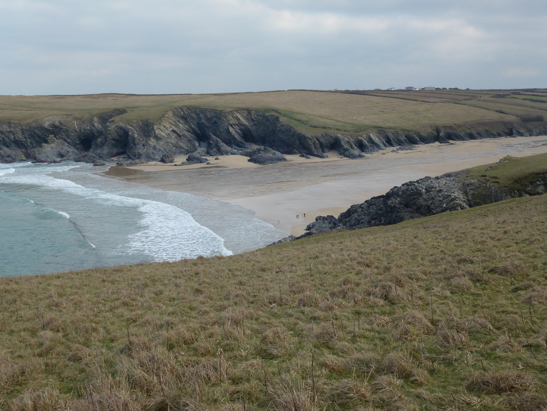
Porth Joke
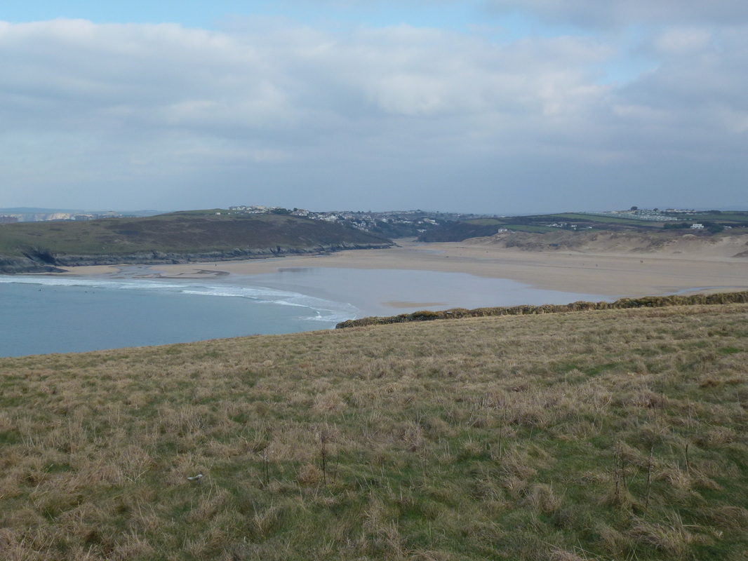
Crantock Beach, Pentire and The Warren
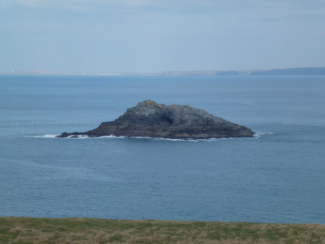
The Chick