High Rigg (Naddle Fell) - Thursday 31 March 2022
Route
Smaithwaite Bridge - Wren Crag - Long Band - Mart Crag - Moss Crag - High Rigg (Naddle Fell) - St John's Hause - Rake How - Low Bridge End Farm - Smaithwaite Bridge
Parking
Verge parking on the A591 200 yards south of Smaithwaite Bridge, Legburthwaite (Free) - Grid Reference NY 316 195. The nearest postcode is CA12 4TG.
Mileage
5.6 miles
Terrain
Good paths throughout however the path down to St John's Hause from the summit of High Rigg is steep.
Weather
Cold at first but this improved - visibility was excellent.
Time Taken
3hrs
Total Ascent
1108ft (338m)
Wainwrights
1
Map
OL4 - The English Lakes (North Western)
Walkers
Dave, Angie & Fudge
|
GPX File
|
| ||
If the above GPX file fails to download or presents itself as an XML file once downloaded then please feel free to contact me and I will send you the GPX file via e-mail.
Route Map
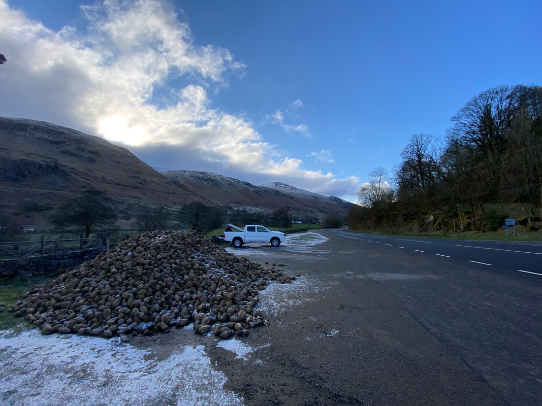
The walk started from the roadside parking near Legburthwaite on the A591 which is 200yds south of Smaithwaite Bridge. The massive pile of stuff in the foreground is Sugar Beet.
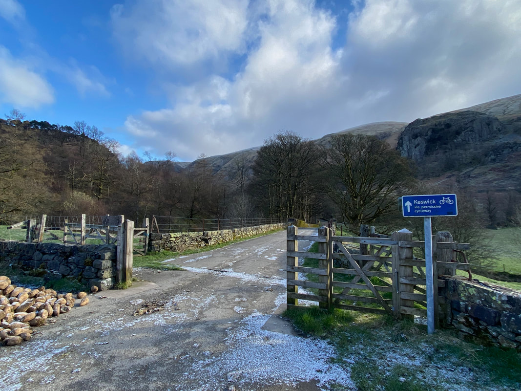
The access road to the hamlet of Legburthwaite - the walk cannot be immediately accessed from this road as there is no bridge east of here over St John's Beck until Sosgill Bridge some mile and a quarter distant to the north.
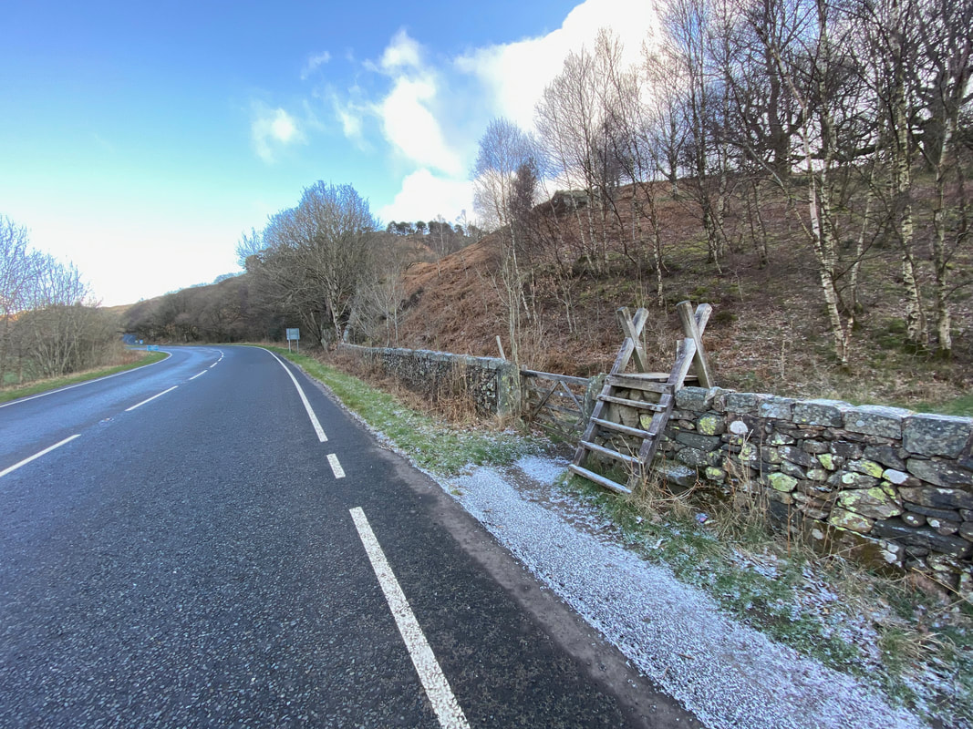
A gate and ladder stile gives access to the fellside and the path to Wren Crag
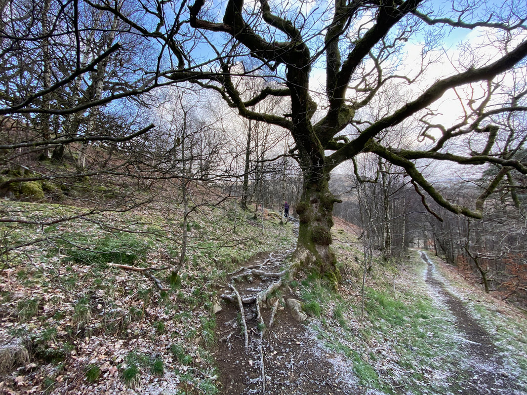
At a path junction our route heads up the fellside to the left - the path on the right is the return route
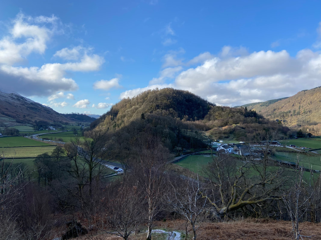
Looking down to the parking area from the ascent of Wren Crag - the wooded fell to the rear is Great How
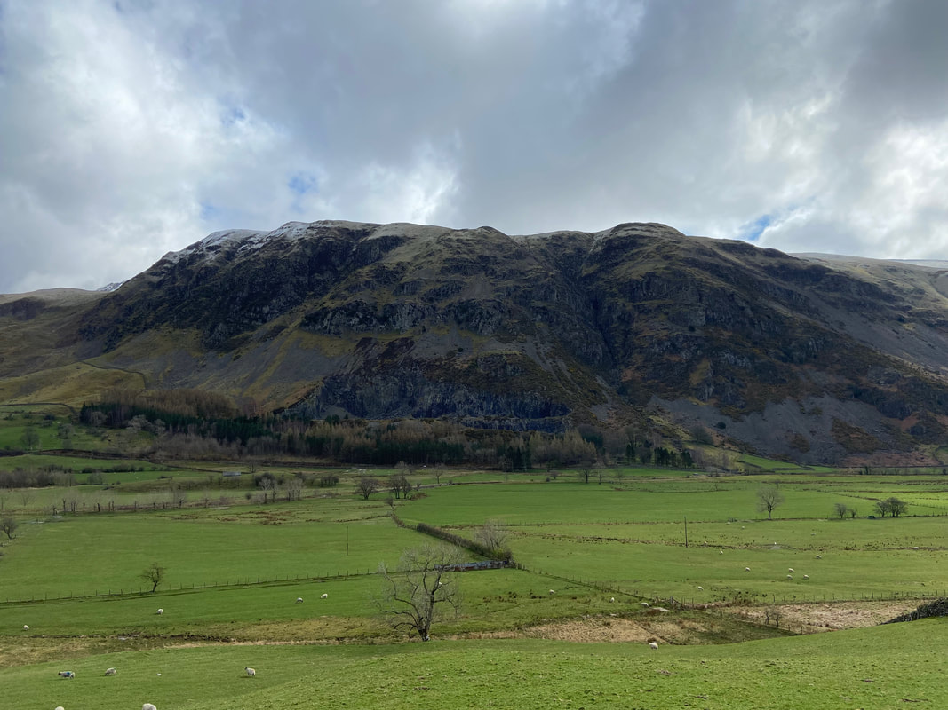
Looking across Smaithwaite to Raven Crag & The Benn
Continuing the approach to Wren Crag
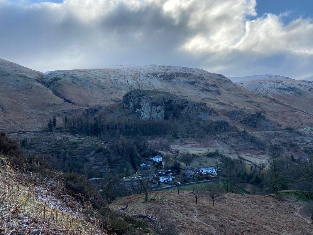
Legburthwaite sits below with Castle Rock above the hamlet and Watson's Dodd to the rear
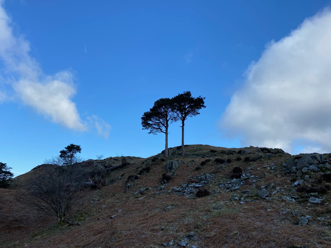
A pair of Scots Pines guard the access to the summit of Wren Crag
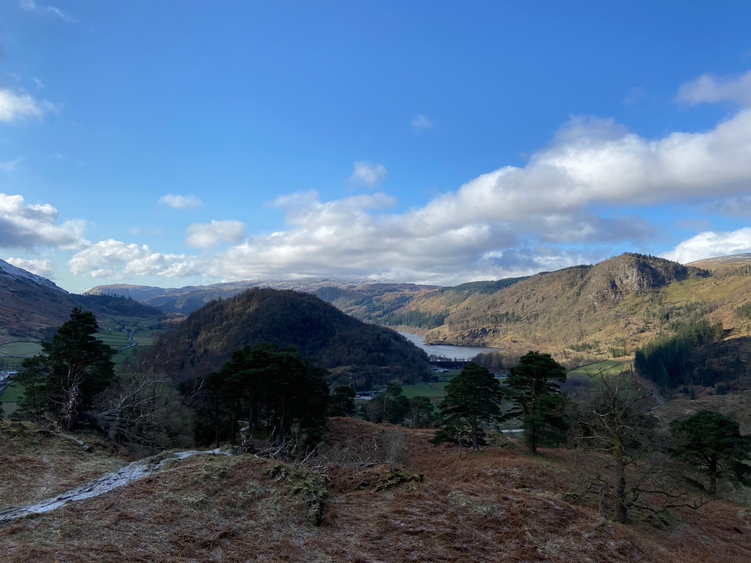
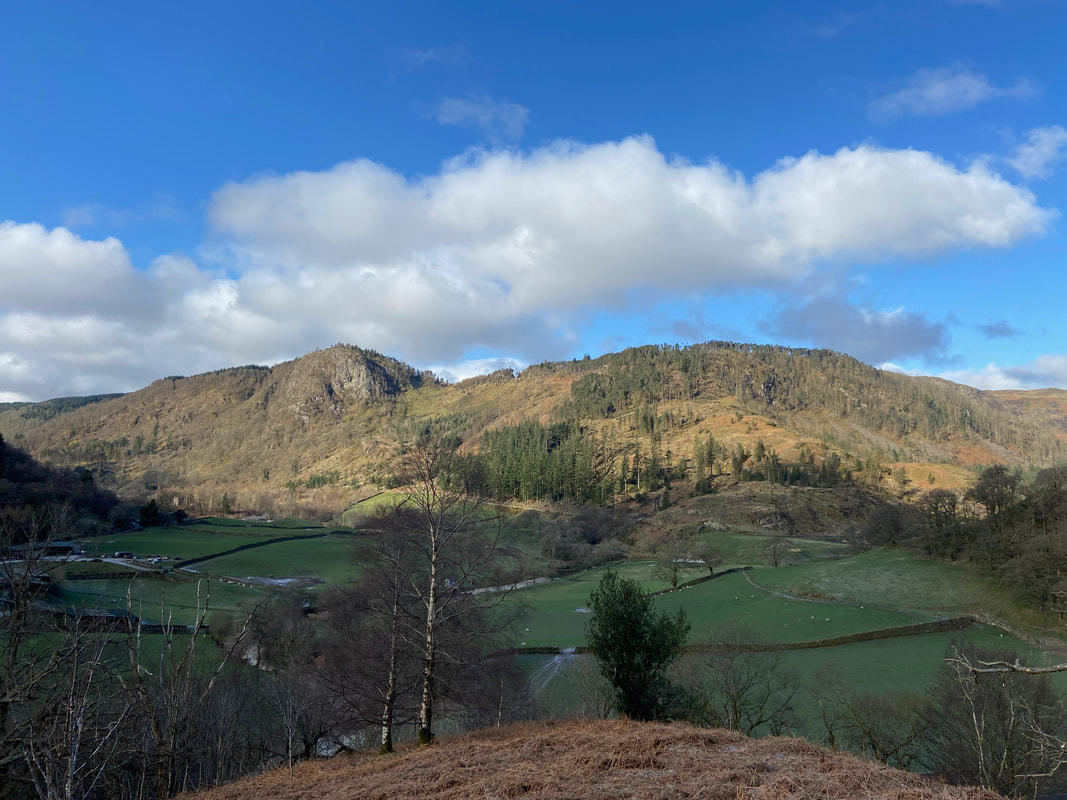
Great How, Thirlmere & Raven Crag from just below Wren Crag
A little further round and High Tove, High Seat & Bleaberry Fell come into view above Raven Crag & The Benn
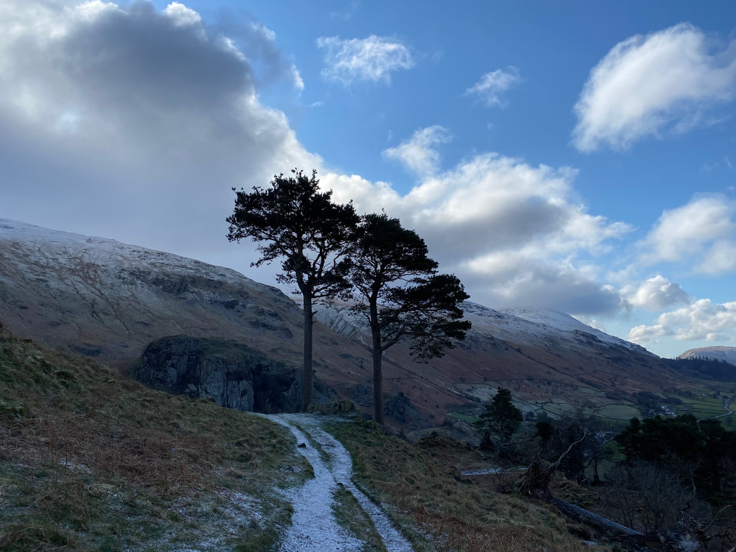
Another view of the 2 Scots Pines as we approach the final climb to Wren Crag - the Helvellyn Range is now in view to the right

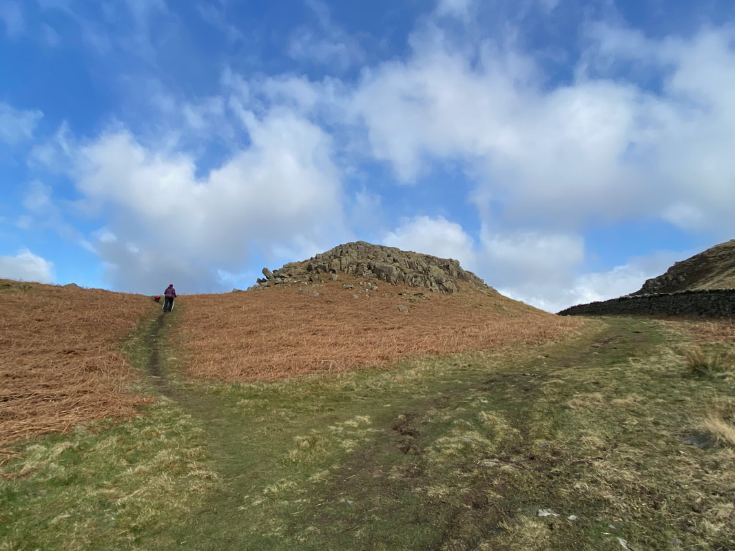
The final approach to Wren Crag
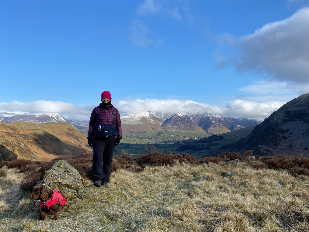
An ex-Jenny Wren and a disinterested pooch on top of Wren Crag with Blencathra to the rear
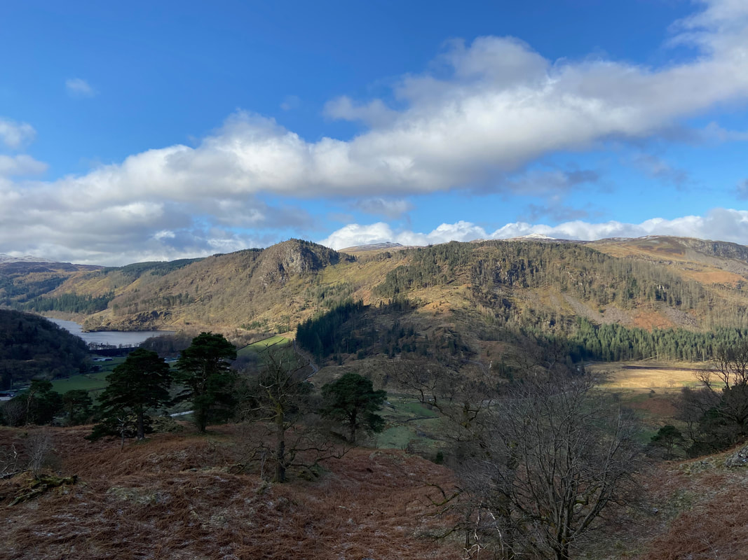
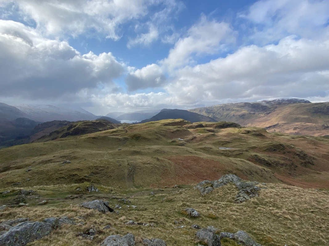
The route drops into a narrow col to then climb up on to Long Band with the ridge to High Rigg and Skiddaw distant
Another view of Raven Crag through the Scots Pines & Oak trees
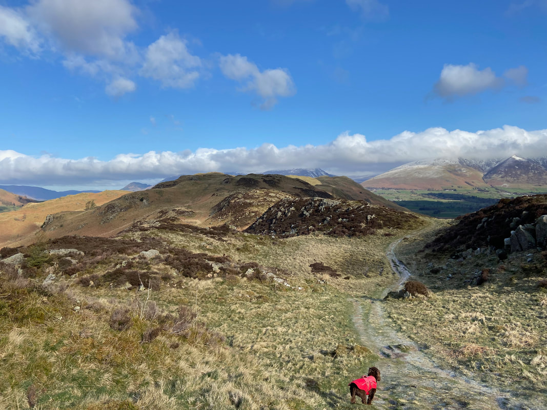
Fudge surveys the route ahead as we start the transit along the ridge of Long Band
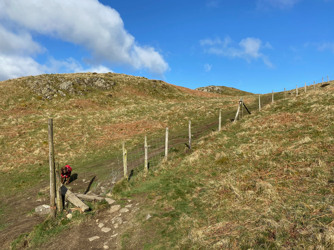
"It wasn't me Dad" - the route crosses a broken stile and then turns right to follow the fence line. There are several paths from this point however the one along the fence line is the preferable one ..............
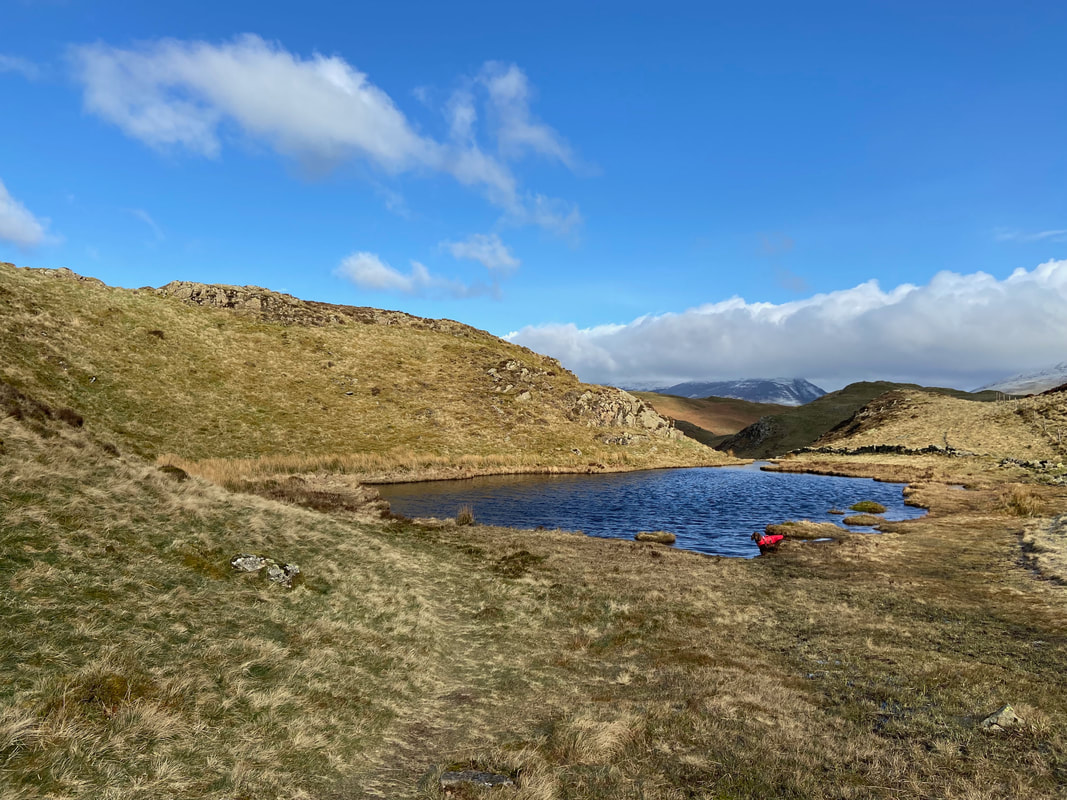
....... because you pass to the right of this lovely tarn
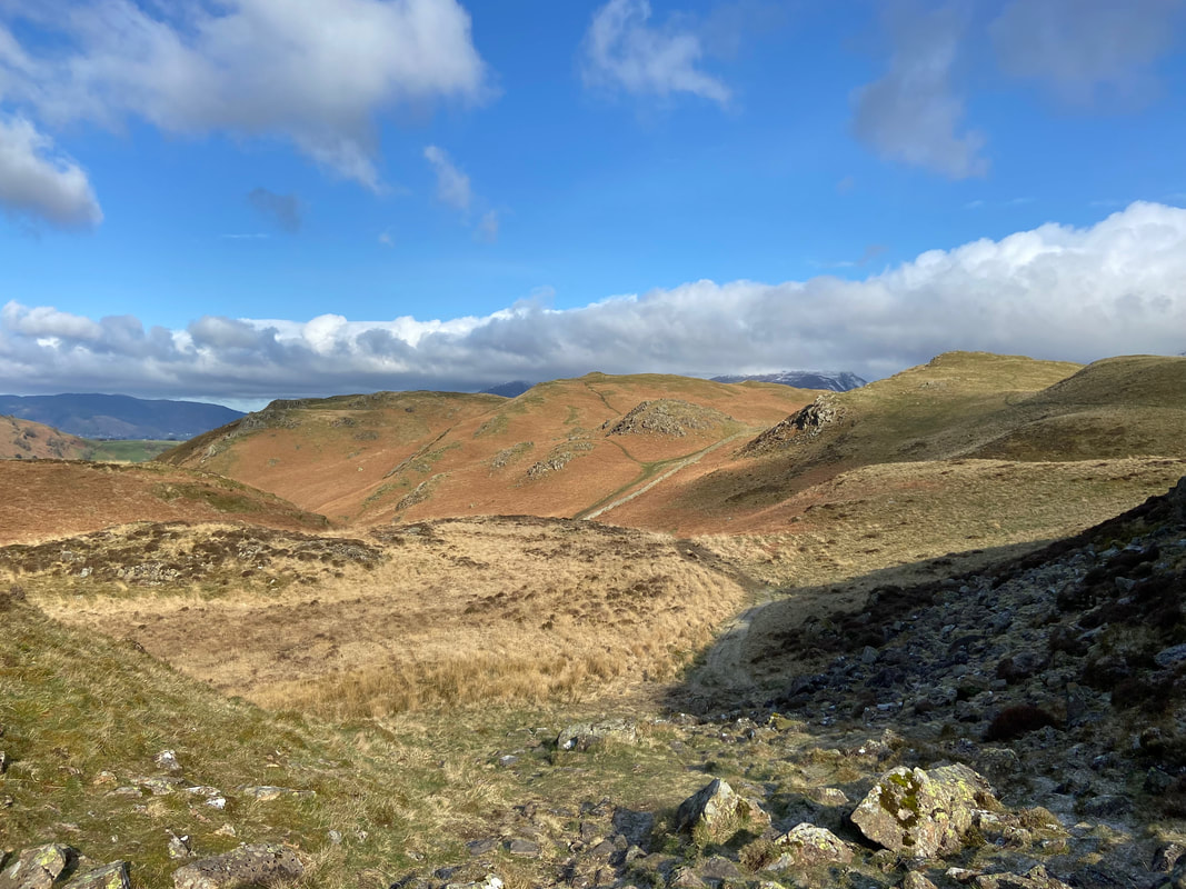
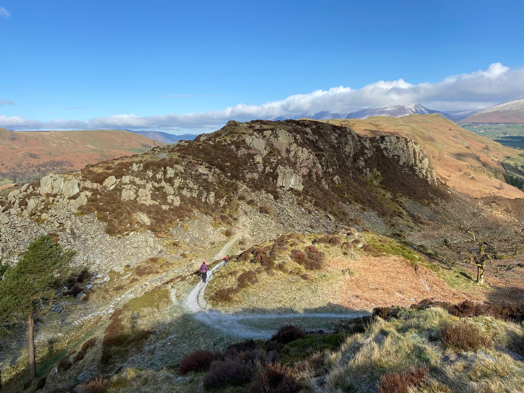
The continuation along the ridge towards High Rigg - there are a myriad of paths going all over the place therefore just keep going in the general direction of north and it is plain sailing.
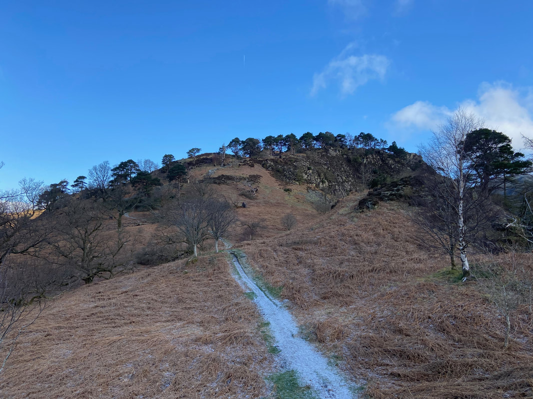
Heading for Moss Crag
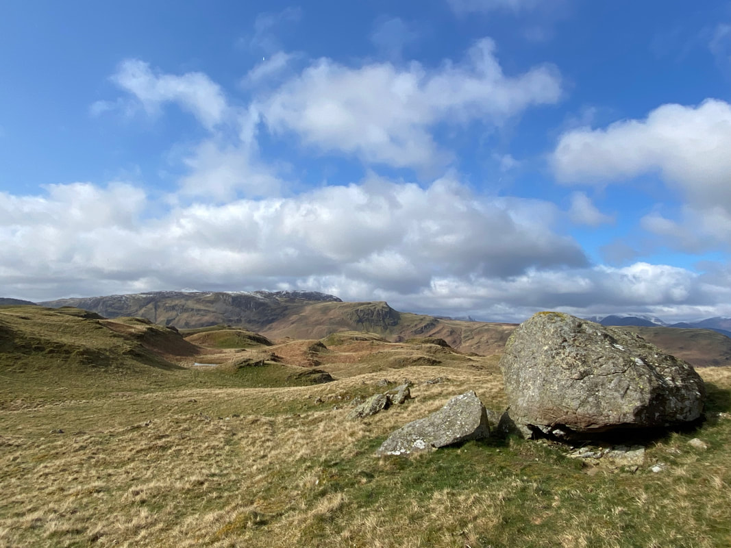
The lumps and bumps of High Rigg looking over to Bleaberry Fell
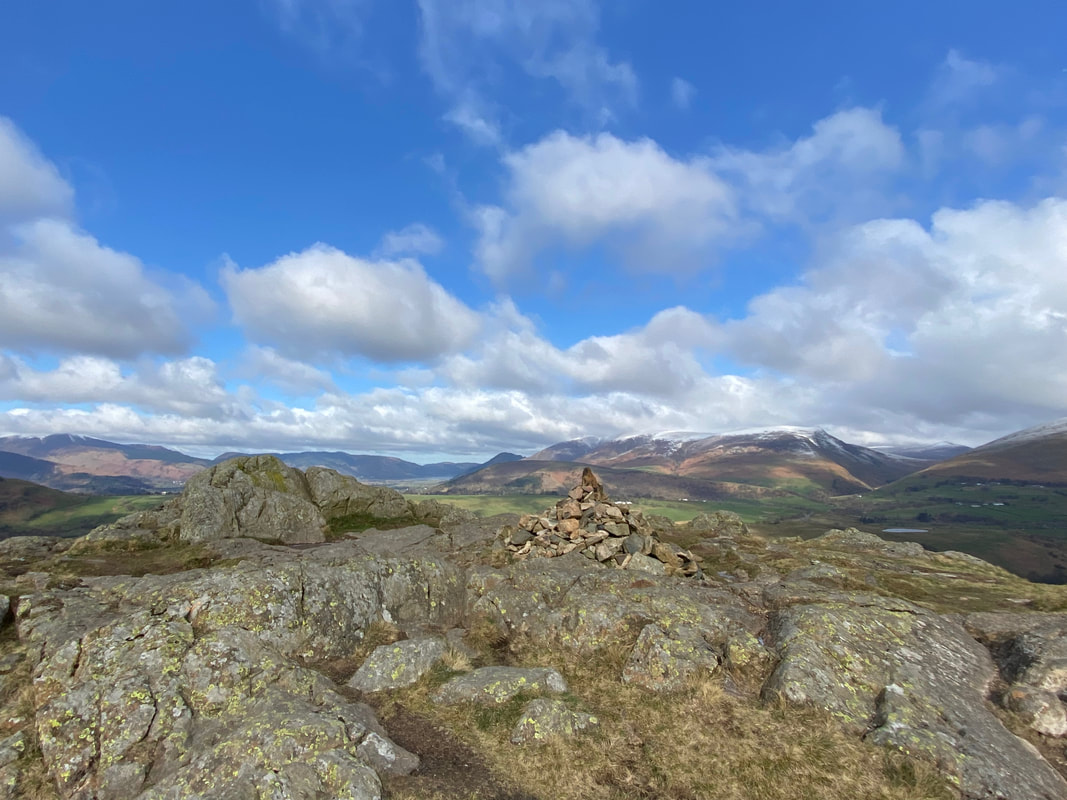
The summit cairn on High Rigg. This modest fell (1171ft) has often been described as "the Lake District in miniature" with its rocky crags, hillocks, boggy sections and tiny tarns - not to mention the fantastic views. Wainwright said that the full transit from Smaithwaite to Tewet Tarn "is a splendid little expedition admirably suited to old and rickety fell walkers long past their best" (High Rigg 3).
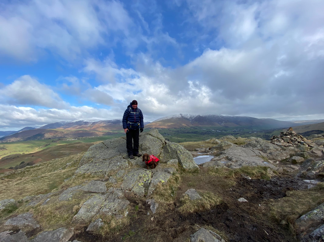
With Fudge on the summit of High Rigg. The rocky knoll we are stood on is the highest point of the fell and a cairn once adorned this spot but is no longer here having been replaced by the one to the right.
Looking back along the ridge to Wren Crag from the summit of High Rigg
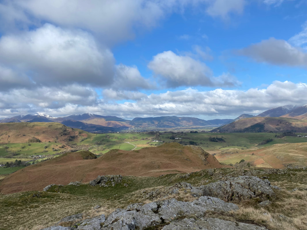
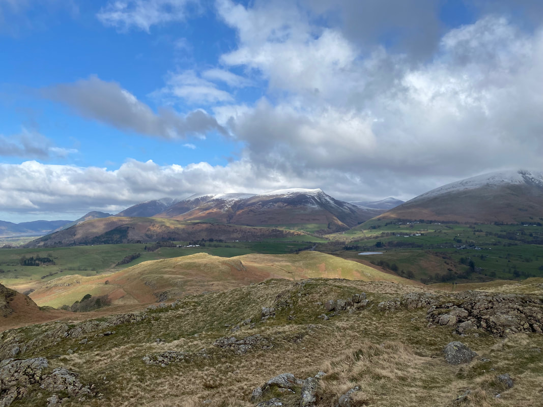
The North Western Fells from the summit of High Rigg
Latrigg & the Skiddaw range over Low Rigg with Blease Fell to the right - the body of water centre right is Tewet Tarn
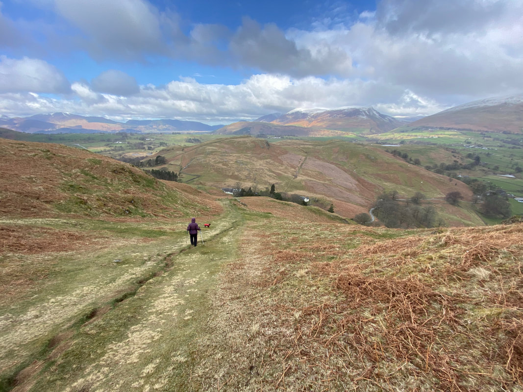
The descent from High Rigg to St John's in the Vale Hause is extremely steep
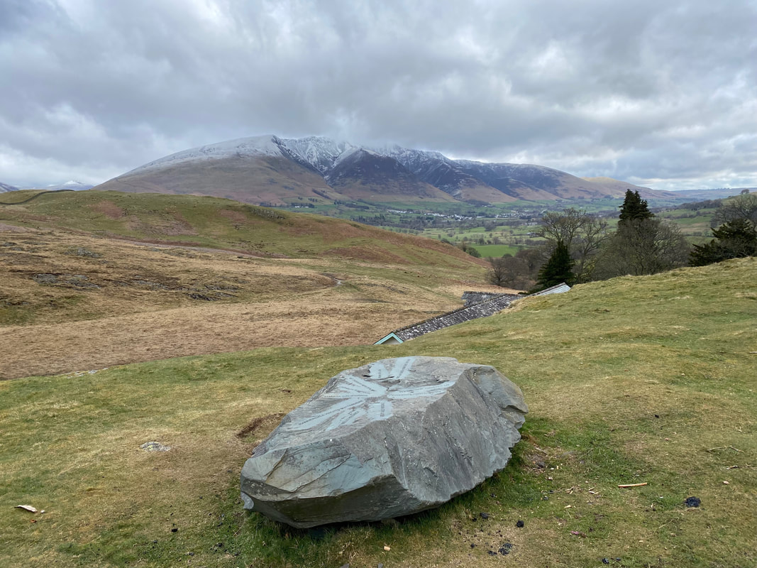
A slate toposcope near the St John's in the Vale Youth Centre, the roof of which can be seen just below. The toposcope is clearly an educational tool for the children of the Youth Centre.
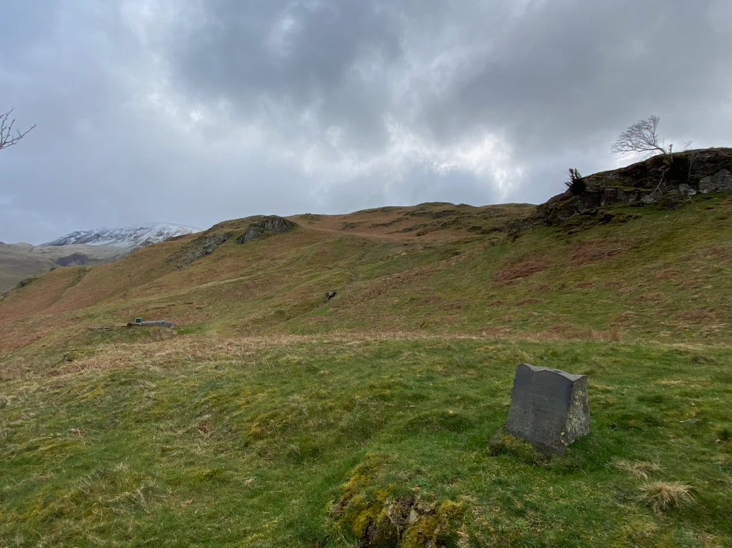
I went off path slightly in search of the memorial that is marked on the OS Map - a short wander about revealed the small slate monument which has the following words inscribed upon it:
IN MEMORY OF
DAVID GERALD
PENNYCOOK
WHO LOVED THESE FELLS
DIED 13 JUNE 1964
AGED 10 YEARS
Despite an extensive search I cannot find any further detail on this memorial
IN MEMORY OF
DAVID GERALD
PENNYCOOK
WHO LOVED THESE FELLS
DIED 13 JUNE 1964
AGED 10 YEARS
Despite an extensive search I cannot find any further detail on this memorial
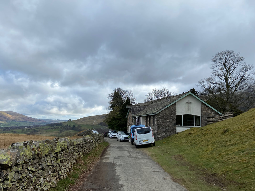
St John's in the Vale Youth Centre
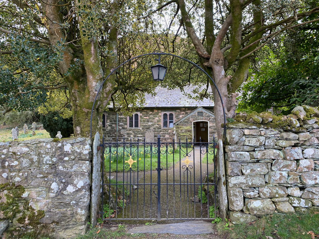
The ornate gate of St John's Church
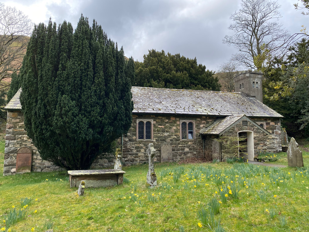
St John's Church, St John's in the Vale. The church was built in 1845, replacing an earlier church and re-using some of its fabric. The interior was reordered in 1893 by a Lancaster firm of architects. Some of the fittings currently present in the church result from this reordering. The church is constructed in slate and igneous rock (cooled magma or lava).
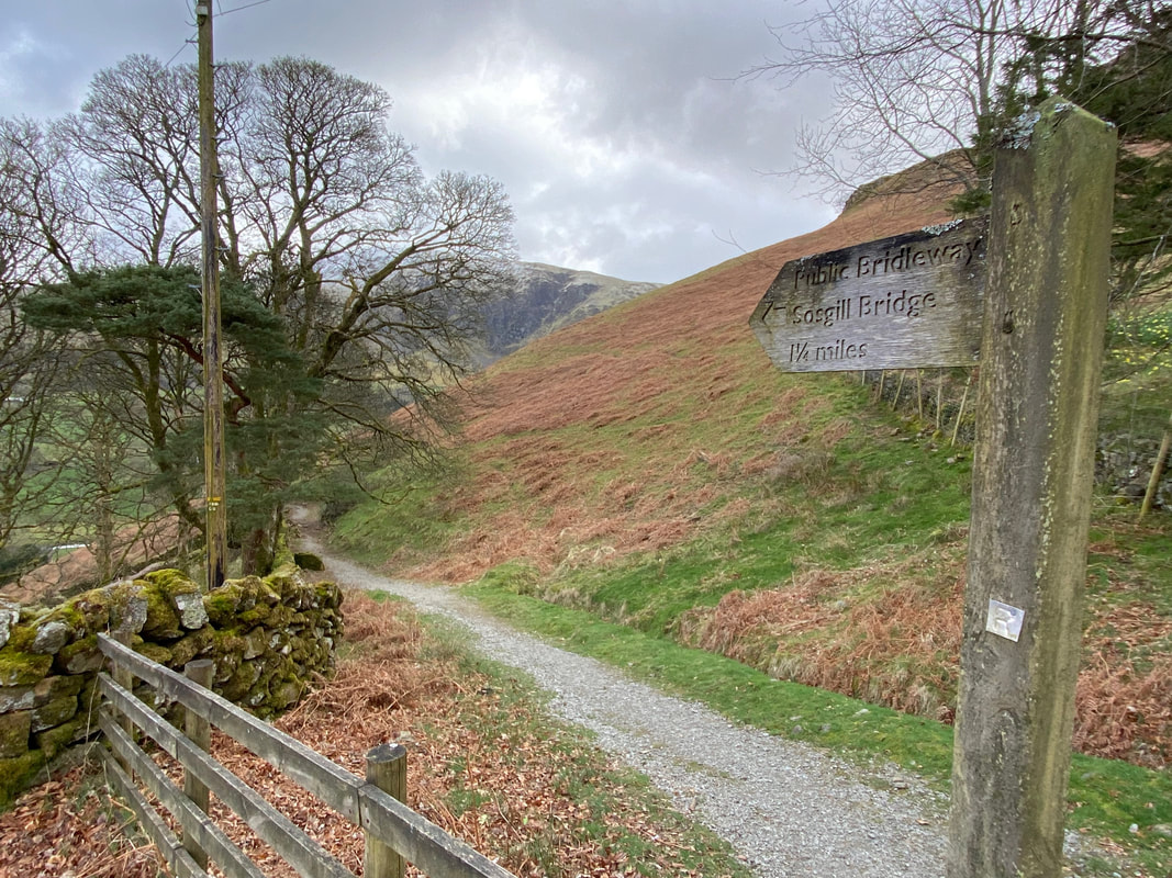
Just past the church a waymark points off to the right in the direction of Sosgill Bridge.
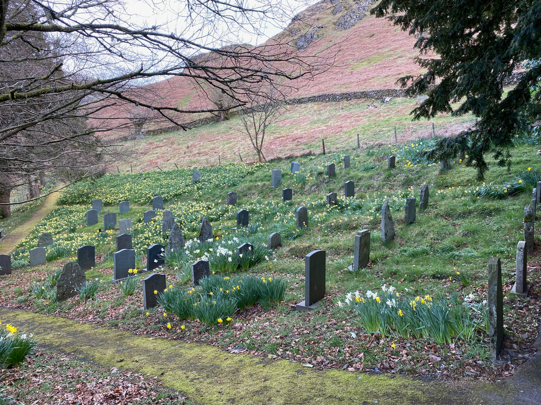
Above the churchyard where the gravestones were resplendent with a covering of Daffodils
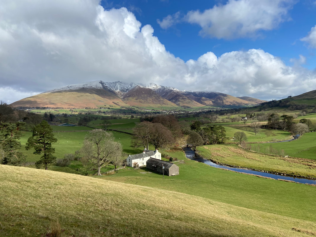
Looking across St John's in the Vale & St John's Beck to Bridge House, Threlkeld & Blencathra
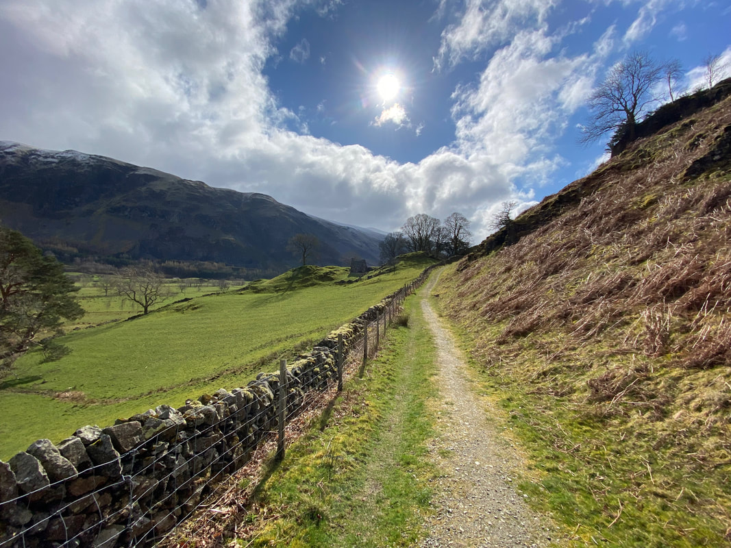
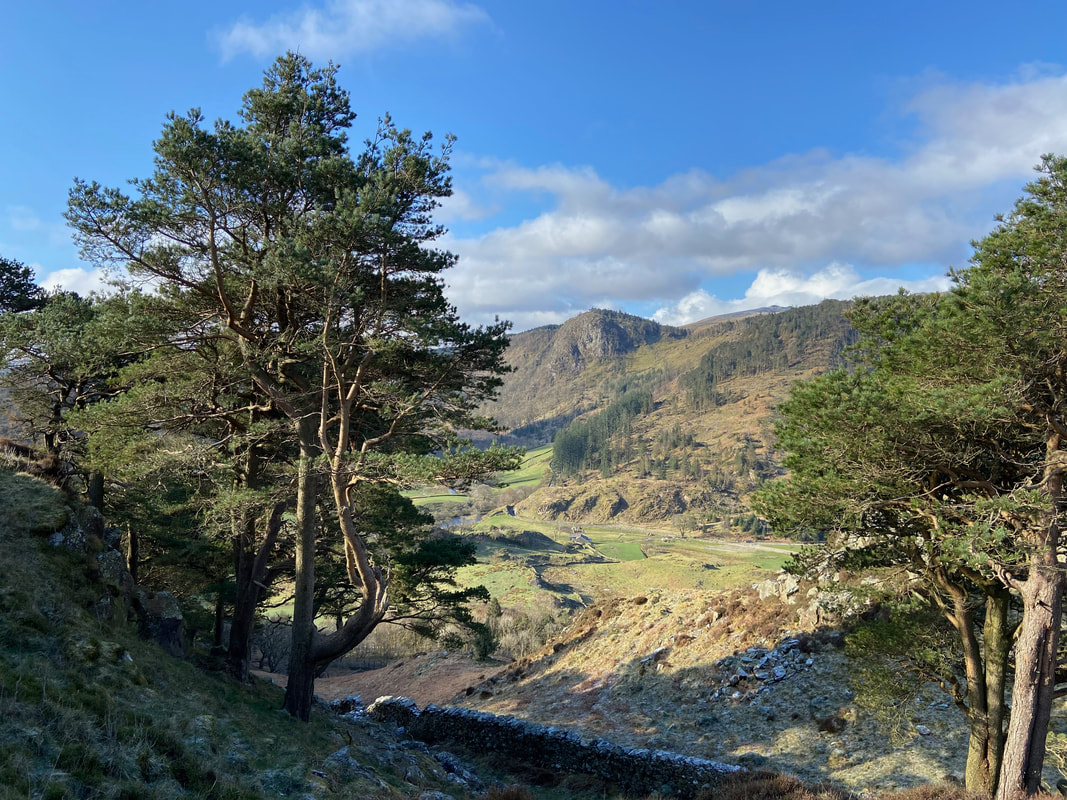
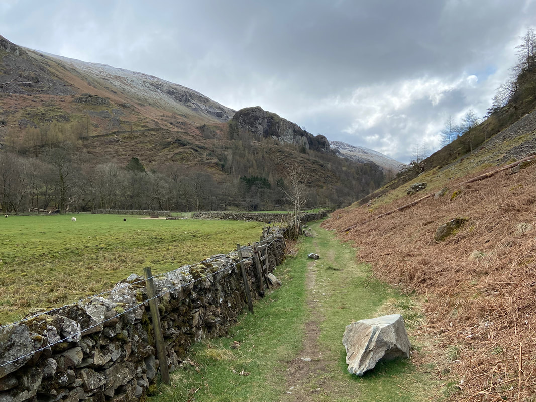
The path continues on towards Sosgill Bridge underneath the eastern flank of High Rigg
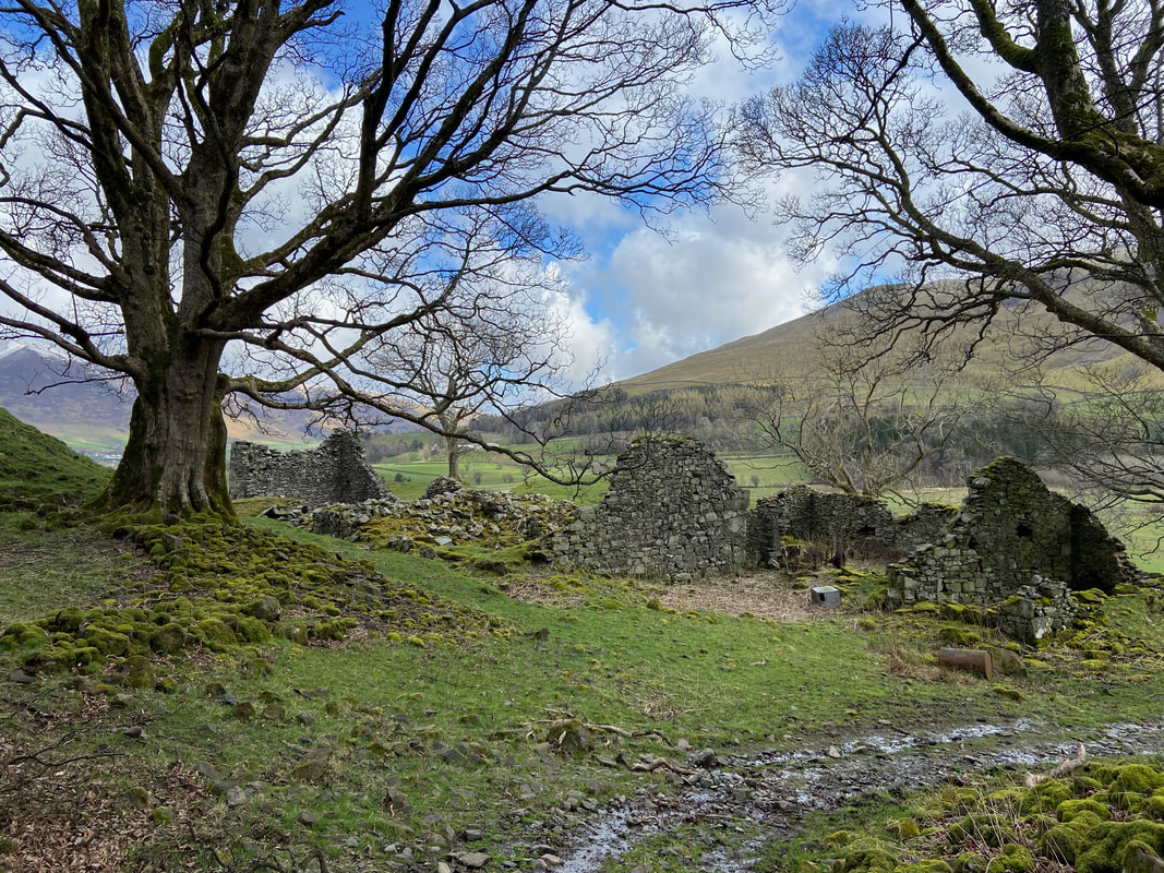
The ruins of the former farm at Rake How
Wanthwaite Crags and Bram Crag on Clough Head from the ruins of Rake How
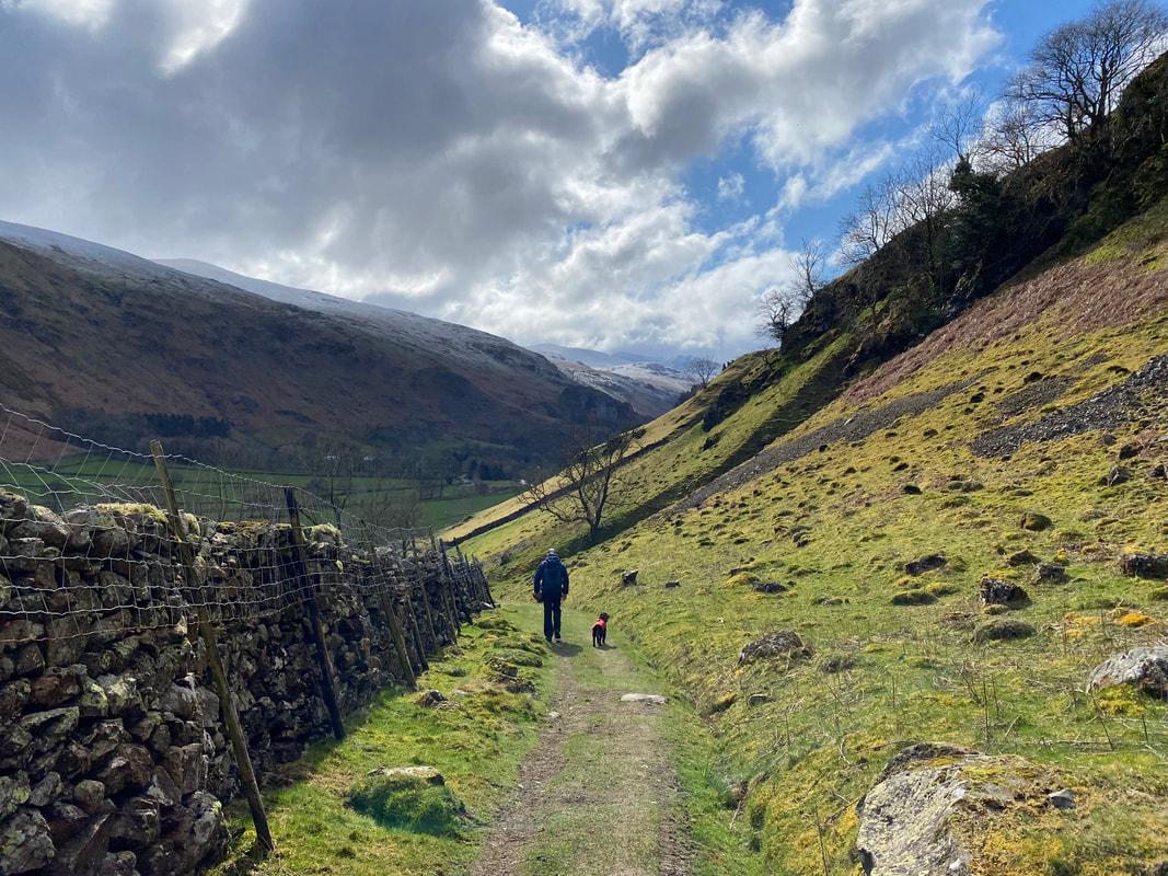
Continuing along the flank of High Rigg with Castle Rock now in view
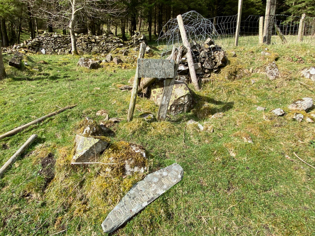
I love these old slate signs - sadly they are few & far between now
Castle Rock ahead - the route turns to the right to join the outward path to then return to the parking area