Grasmoor & Whiteless Pike - Monday 7 July 2014
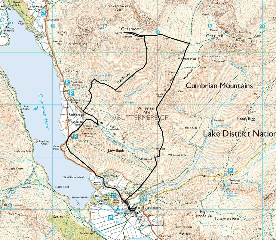
Route
Buttermere - Rannerdale - Lad Hows - Grasmoor - Whiteless Edge - Thirdgill Head Man - Whiteless Pike - Buttermere
Parking
Near the Church in Buttermere (Free) - Grid Ref NY176171
Mileage
7.3 miles
Terrain
Road walking between Buttermere and Rannerdale then good mountain paths
Weather
Sunshine with very good visibility although it was fresh & breezy on the summits
Time Taken
5hrs
Total Ascent
2818ft (859m)
Wainwrights
2
Map
OL4 - The English Lakes (North Western Area)
|
GPX File
|
| ||
If the above GPX file fails to download or presents itself as an XML file once downloaded then please feel free to contact me and I will send you the GPX file via e-mail.
Walk Description
Long drive over to Buttermere via Newlands Hause and despite not arriving until 1115, there were plenty of parking spaces up the road near the church. We had never been up Grasmoor or Whiteless Pike before therefore we were looking forward to this one.
The route has a bit of road walking at the start which with hindsight we could have avoided if we had headed up to Low Bank and took the path along Squat Beck to Dale How but no matter - the roads were quiet therefore off we went. Eventually the route leaves the road and heads gently up through the bracken to the parking area below Rannerdale Knotts. From here the path meanders along to the footbridge over Squat Beck and it is then that the gradient up to Lad Hows kicks in. We took lots of breathers up this section as the incline is fairly steep but also the views back over to Buttermere and Crummock were superb.
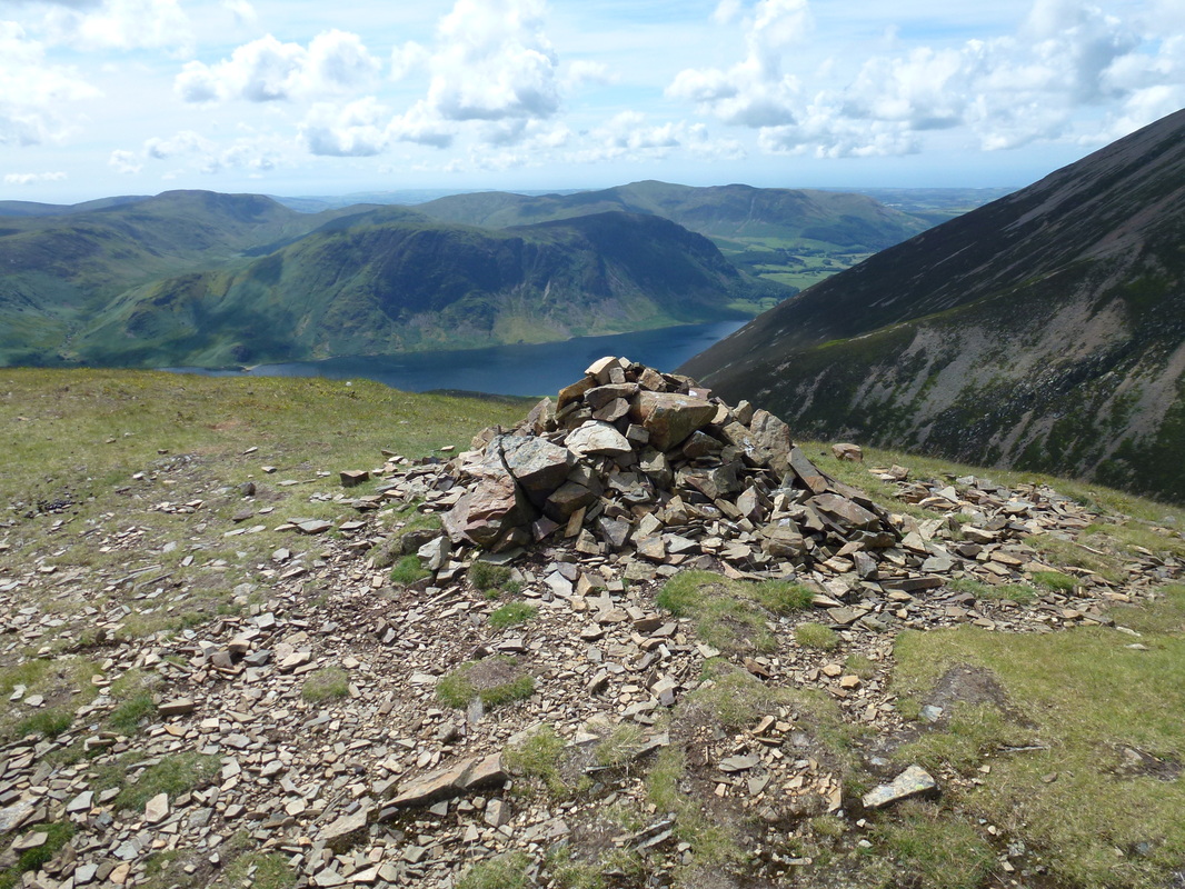
Reaching Lad Hows there is now a sustained steep section all the way to the summit of Grasmoor which is a vast stony and grassy top with many cairns and shelters on it. The views over towards the Scafells and all around are worth the slog up to the top and we were treated to a superb Lakeland vista in really good visibility - with nobody else there! From the summit we headed down to the col and at this point we originally intended to go up to Eel Crag (Crag Hill), down over Wandope and then over to Thirdgill Head Man but looking at the path up to Eel Crag there looked to be lots of people over that way therefore we gave it a miss.
At the col we headed up to Thirdgill Head Man and we could see how easily people do get confused here thinking that Thirdgill Head Man is Wandope and vice versa. From the cairn there is a drop and then a rise to the summit of Whiteless Pike and again the views were simply breathtaking - as they all are! We then descended steeply over Whiteless Breast back down to Buttermere just in time to enjoy an ice cream at Syke Farm. Another great day on the fells made even better by the excellent viz today.
The route has a bit of road walking at the start which with hindsight we could have avoided if we had headed up to Low Bank and took the path along Squat Beck to Dale How but no matter - the roads were quiet therefore off we went. Eventually the route leaves the road and heads gently up through the bracken to the parking area below Rannerdale Knotts. From here the path meanders along to the footbridge over Squat Beck and it is then that the gradient up to Lad Hows kicks in. We took lots of breathers up this section as the incline is fairly steep but also the views back over to Buttermere and Crummock were superb.
Reaching Lad Hows there is now a sustained steep section all the way to the summit of Grasmoor which is a vast stony and grassy top with many cairns and shelters on it. The views over towards the Scafells and all around are worth the slog up to the top and we were treated to a superb Lakeland vista in really good visibility - with nobody else there! From the summit we headed down to the col and at this point we originally intended to go up to Eel Crag (Crag Hill), down over Wandope and then over to Thirdgill Head Man but looking at the path up to Eel Crag there looked to be lots of people over that way therefore we gave it a miss.
At the col we headed up to Thirdgill Head Man and we could see how easily people do get confused here thinking that Thirdgill Head Man is Wandope and vice versa. From the cairn there is a drop and then a rise to the summit of Whiteless Pike and again the views were simply breathtaking - as they all are! We then descended steeply over Whiteless Breast back down to Buttermere just in time to enjoy an ice cream at Syke Farm. Another great day on the fells made even better by the excellent viz today.
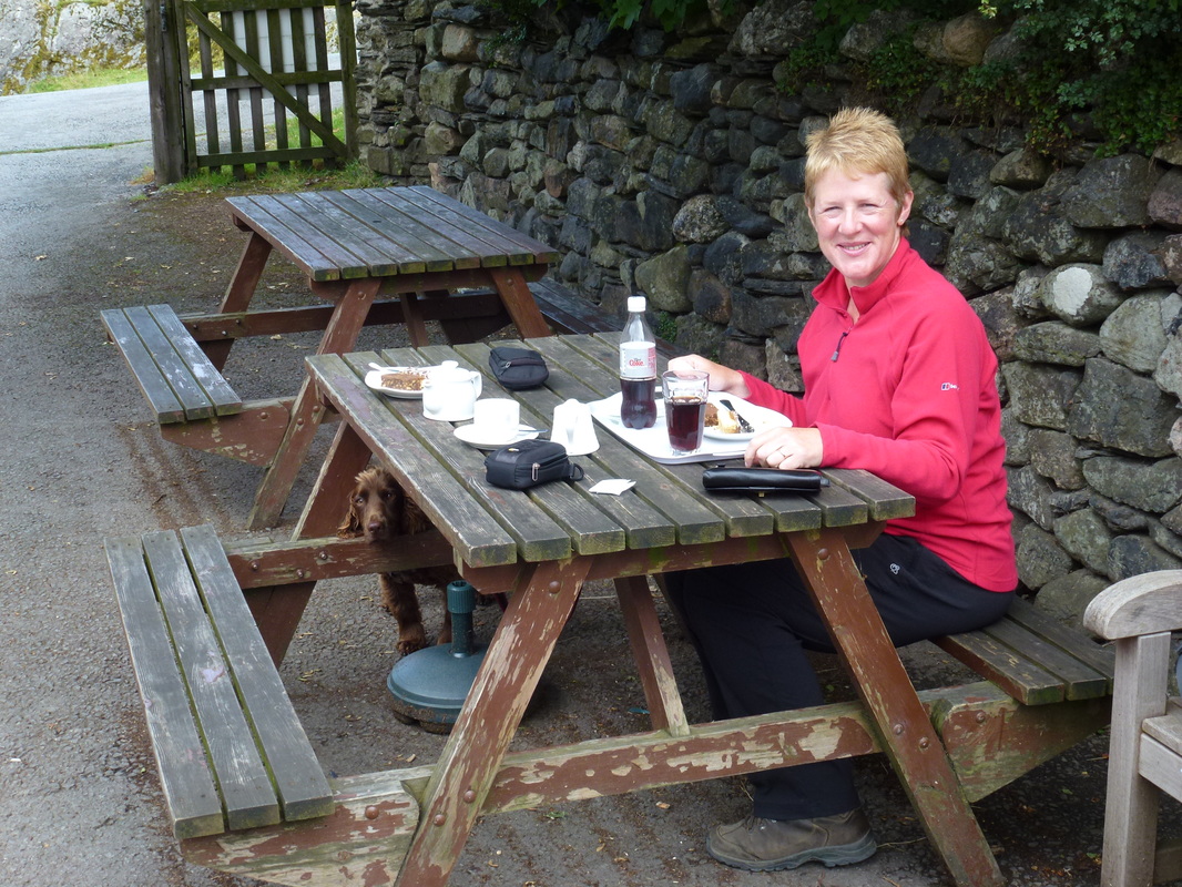
"Fuelling" with a Cream Tea before the start - Fudge has the hump because he can't have any
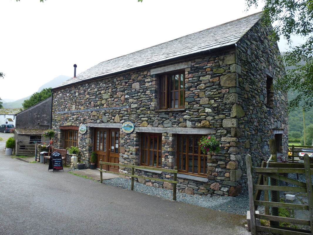
Syke Farm Cafe at Buttermere
After about 3/4 of a mile the path leaves the road below to head up through the heather to Rannerdale
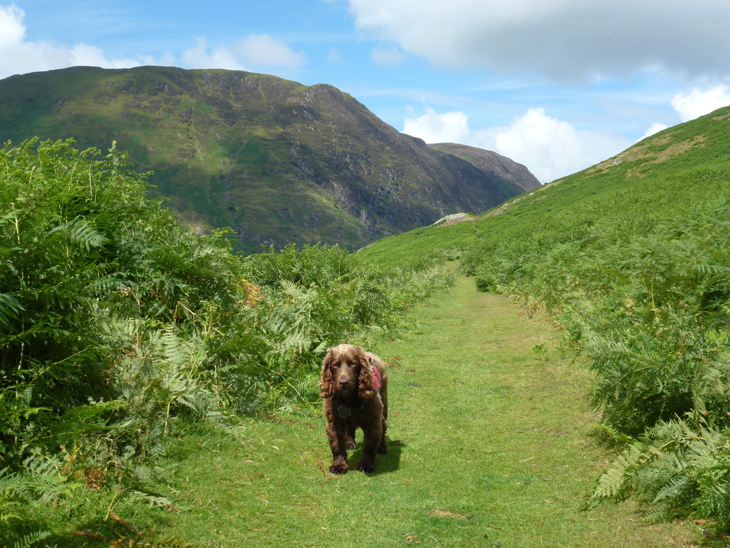
As ever, Fudge is impatient to get going - Whiteside is the fell behind him
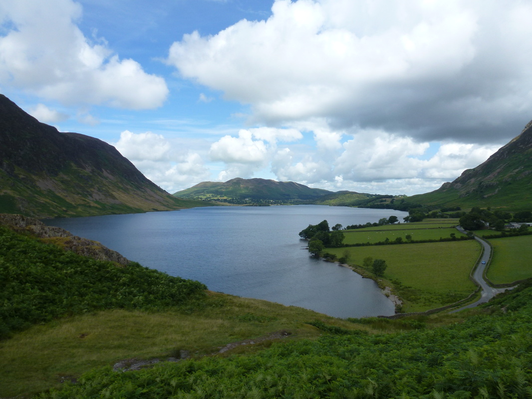
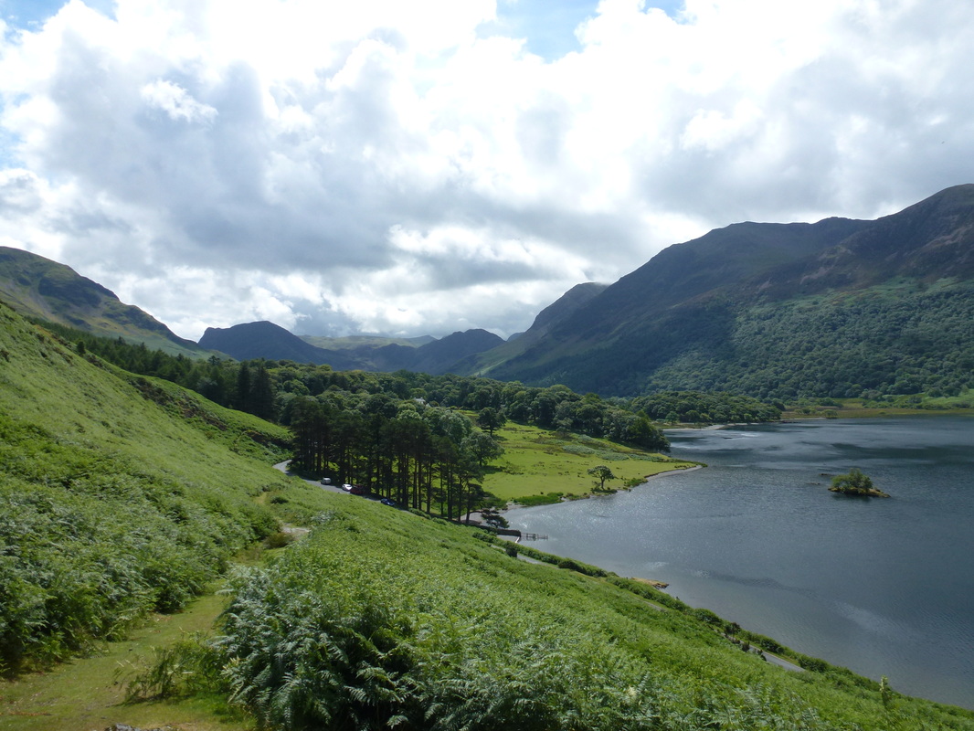
Crummock Water
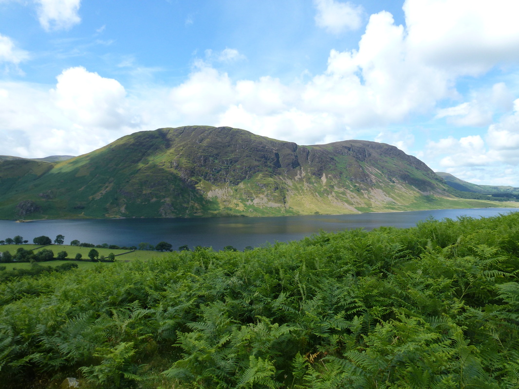
Mellbreak over Crummock Water
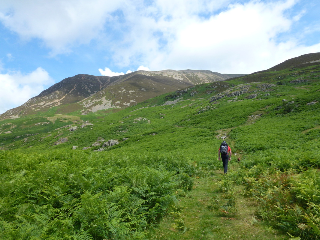
Heading up Lad Hows
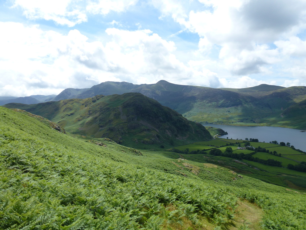
Rannerdale Knotts with the High Stile range behind
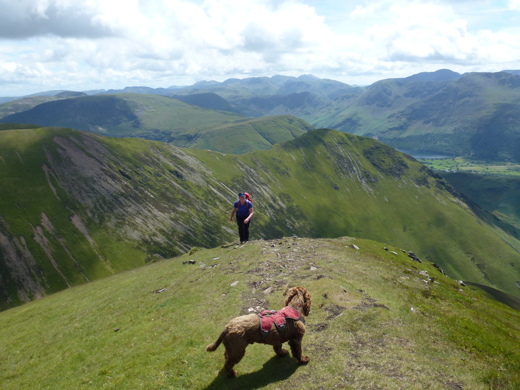
Lad Hows ahead
Looking back down to the Lad Hows ascent
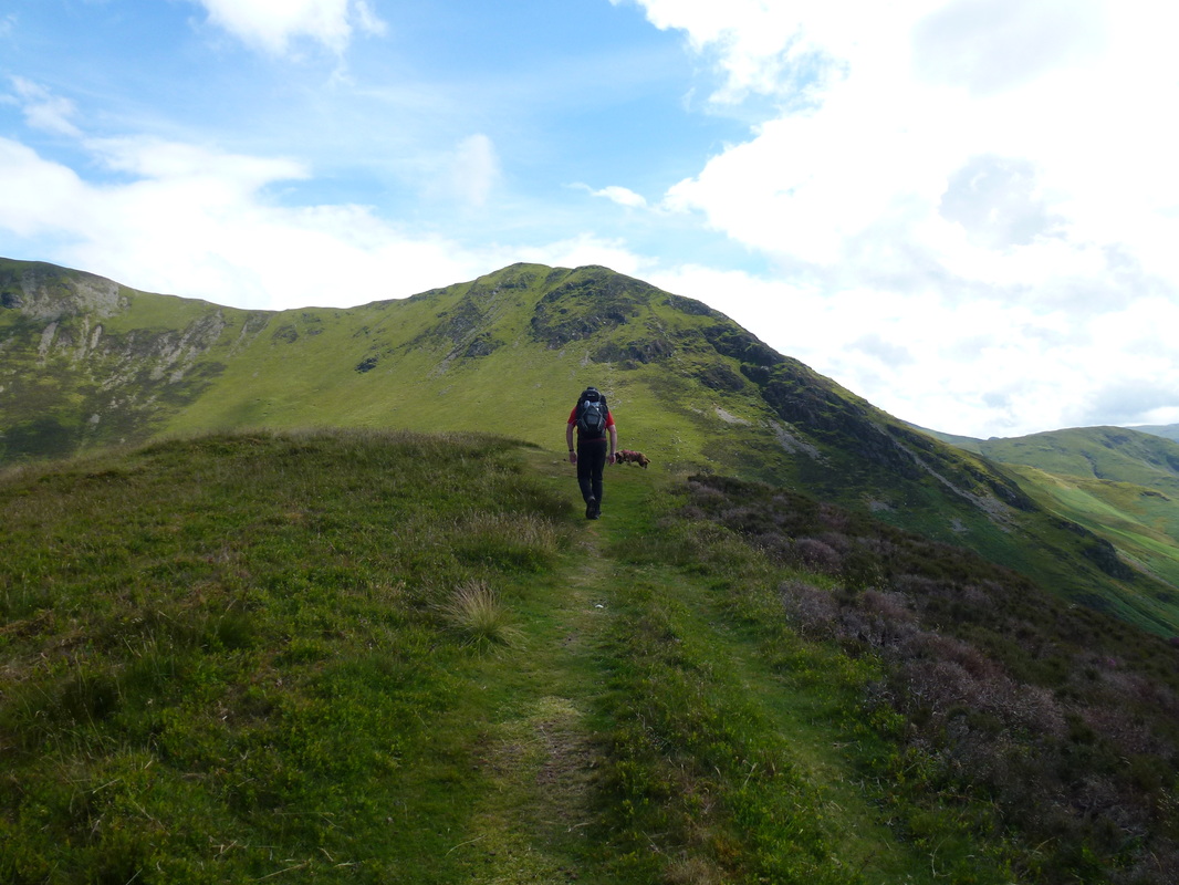
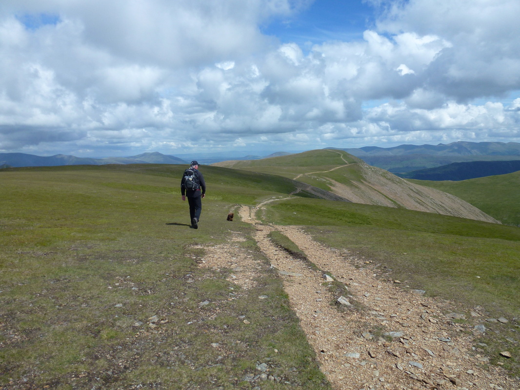
Whiteless Pike - be there soon
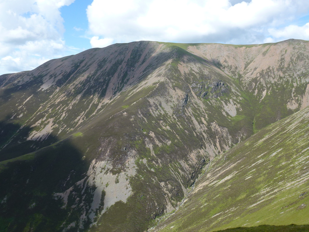
What a view - heading up Grasmoor with Thirdgill Head Man and Whiteless Pike behind. The Scafells are in the far centre distance
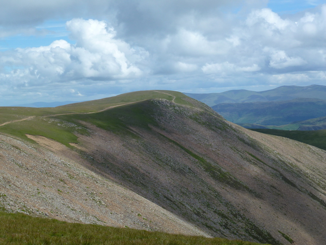
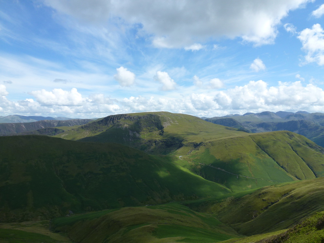
Looking over the path from Grasmoor towards Eel Crag (Crag Hill)
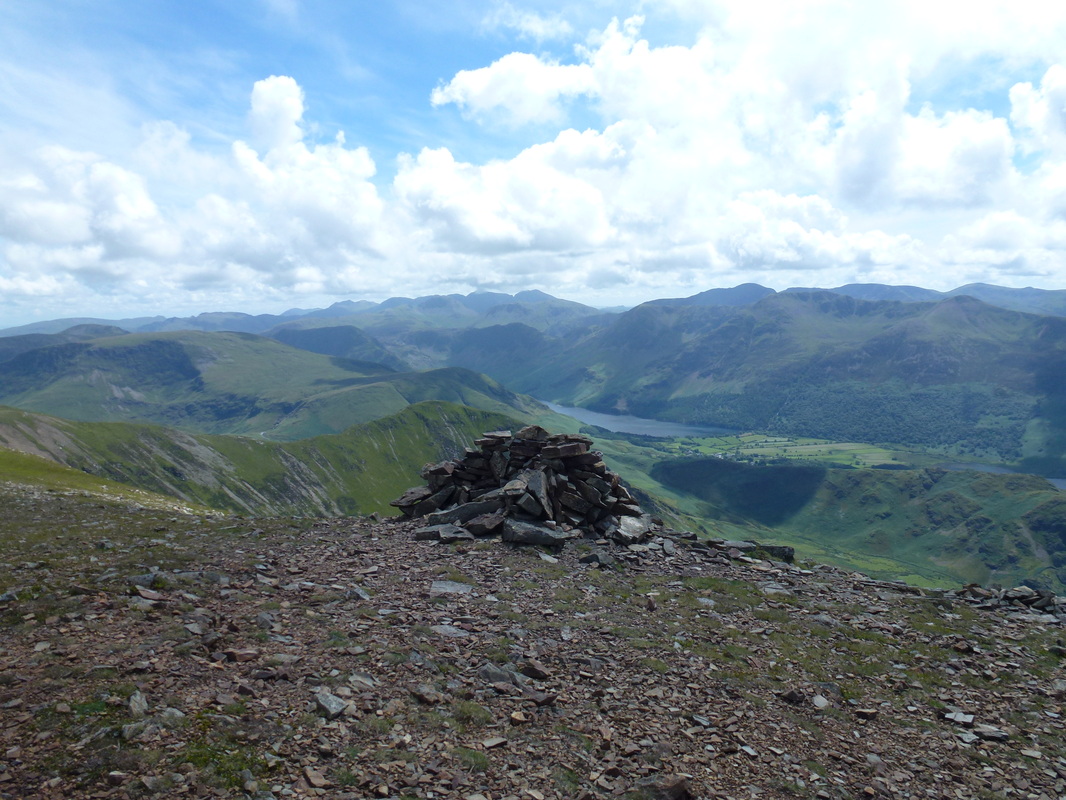
Looking towards Buttermere from Grasmoor's summit
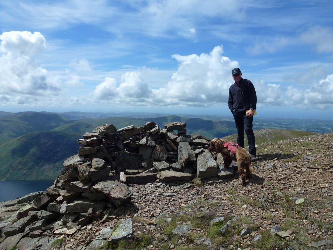
On the summit of Grasmoor - it is lovely up here
Heading down to the col from Grasmoor - we were tempted to climb Eel Crag but it looked busy up there
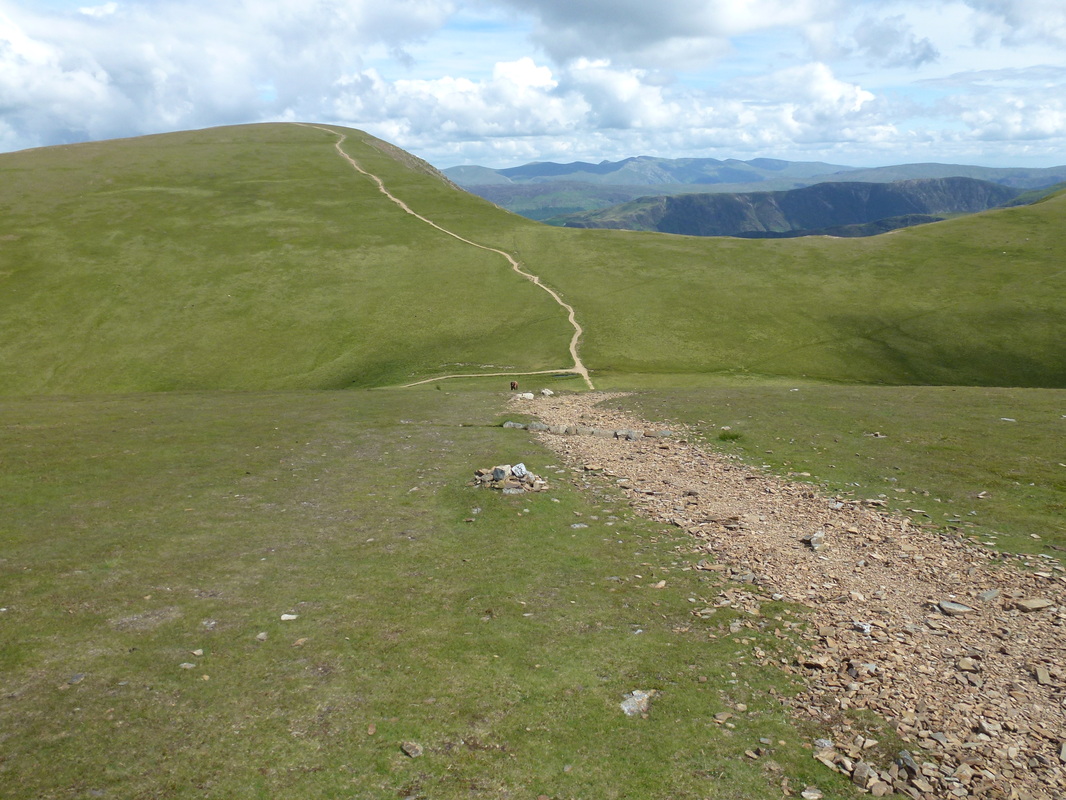
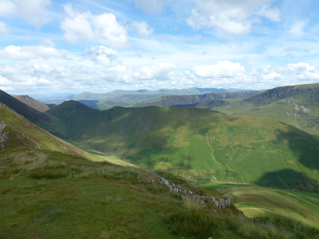
Looking down to the col - the path to Thirdgill Head Man branches off to the right and the barely visible path heading up the right slope is the path over to Wandope. The path moving away to the left leads down to Coledale Hause
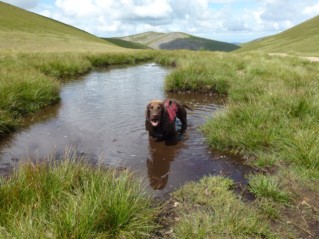
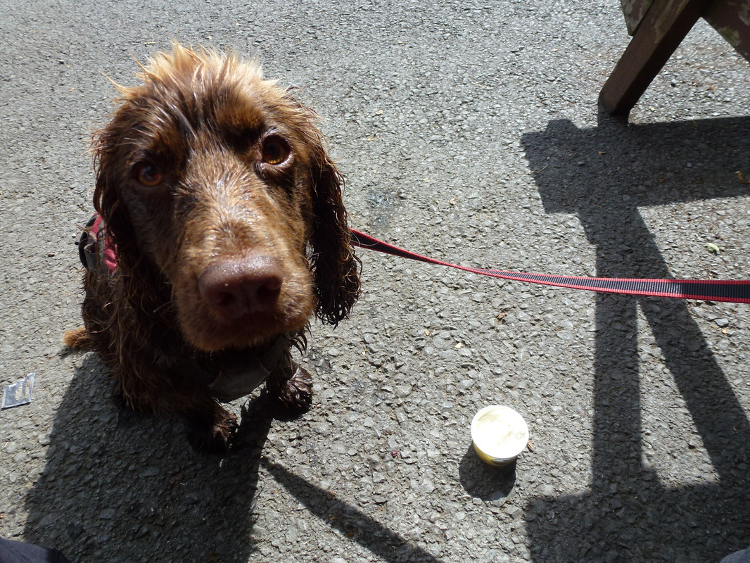
Who are you laughing at?
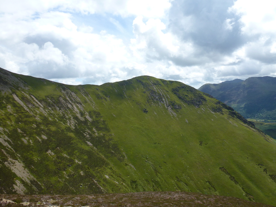
Looking back to Grasmoor from the path to Thirdgill Head Man
The summit of Thirdgill Head Man looking over Crummock Water to Mellbreak
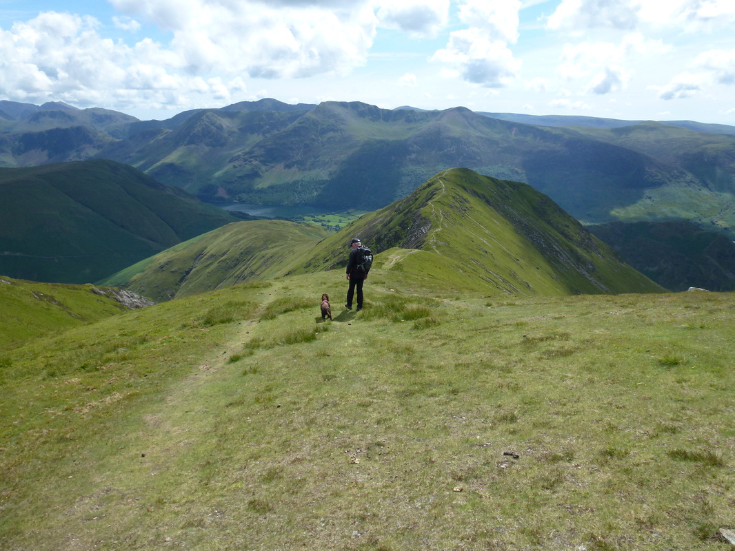
Heading down to Whiteless Pike from Thirdgill Head Man
L-R - Knott Rigg, Robinson & High Snockrigg
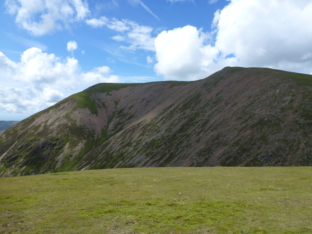
Thirdgill Head Man and Wandope
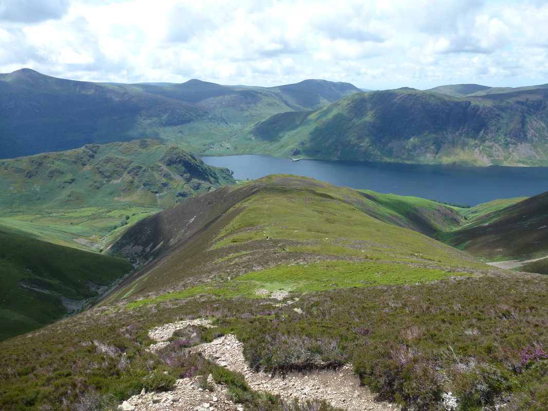
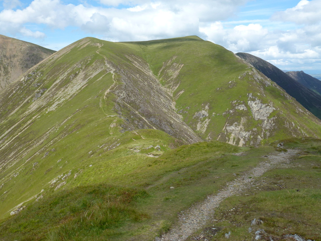
Looking over to our route of ascent up Grasmoor from Whiteless Pike - it looks fairly daunting but it is pretty straightforward
Ard Crags & Knott Rigg - Causey Pike can just be seen on the far left
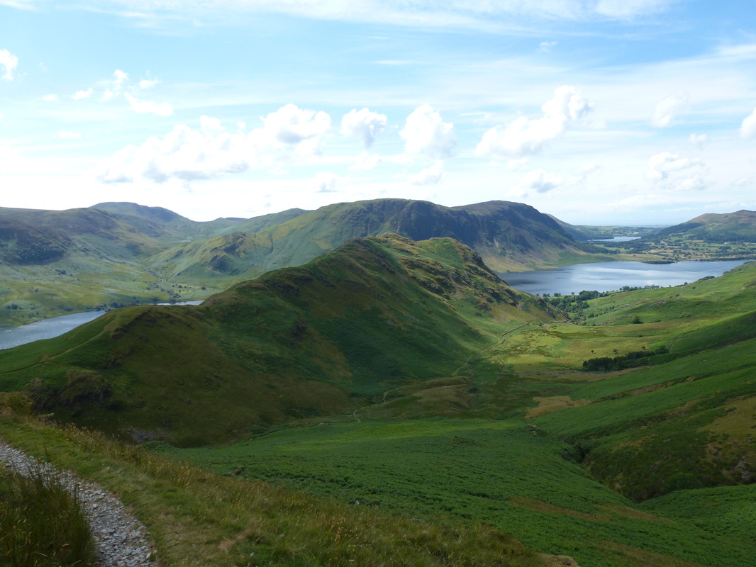
Rannerdale Knotts & Mellbreak over Crummock Water - Loweswater is ahead to the right
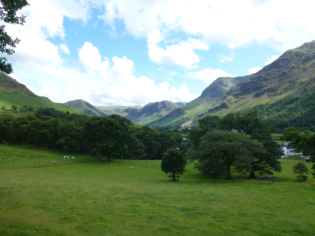
Back in Buttermere
Can I have my Ice Cream now please??